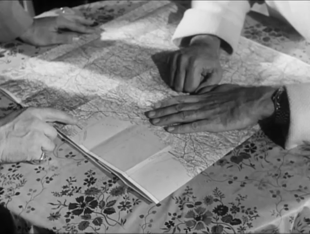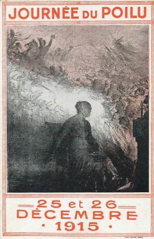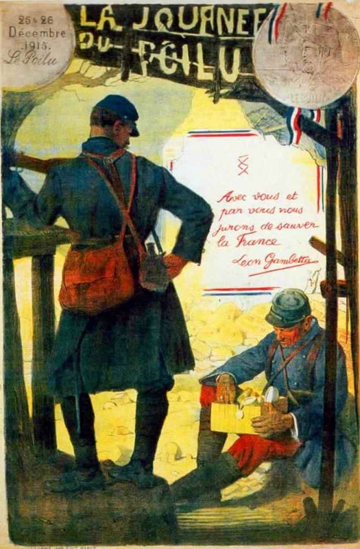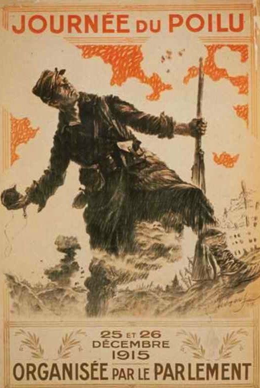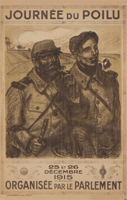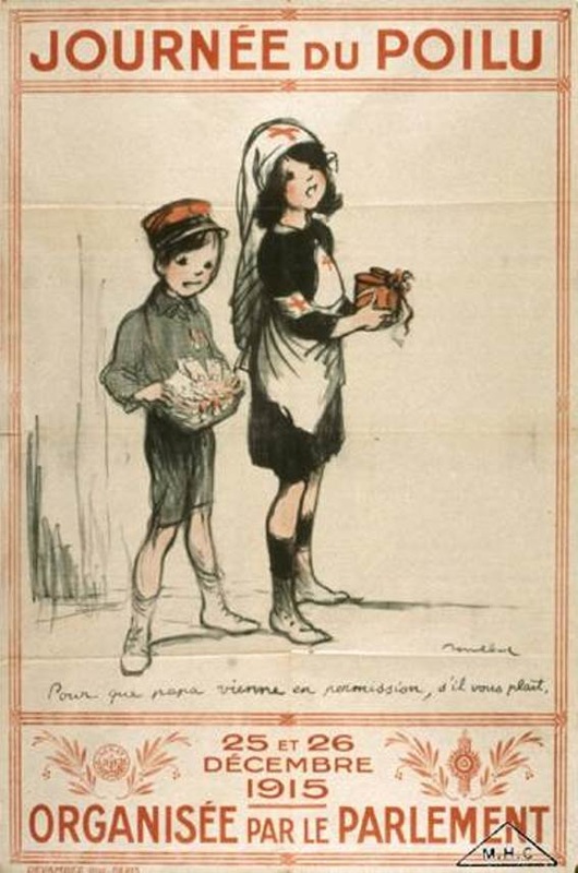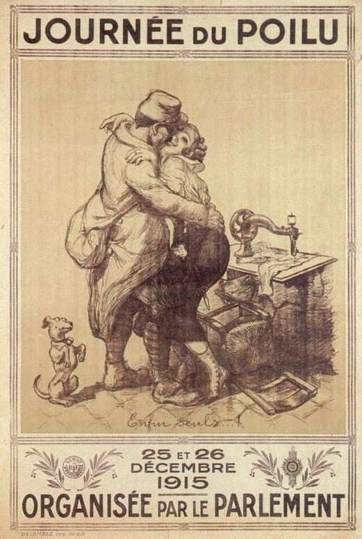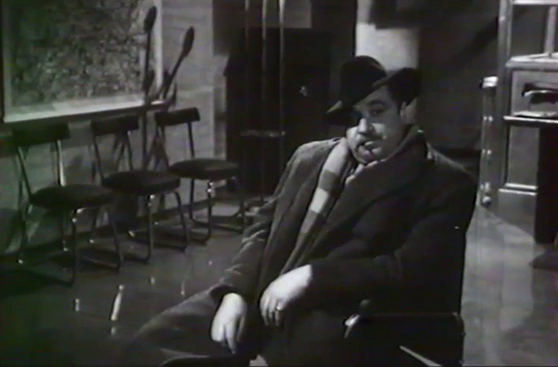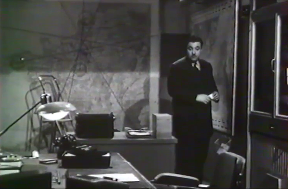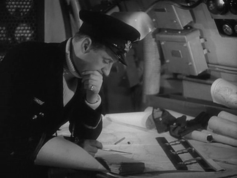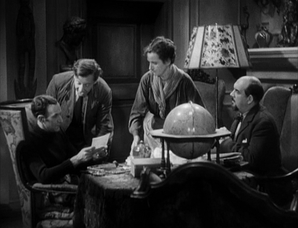
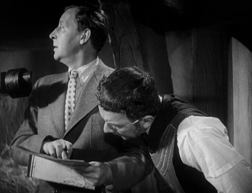
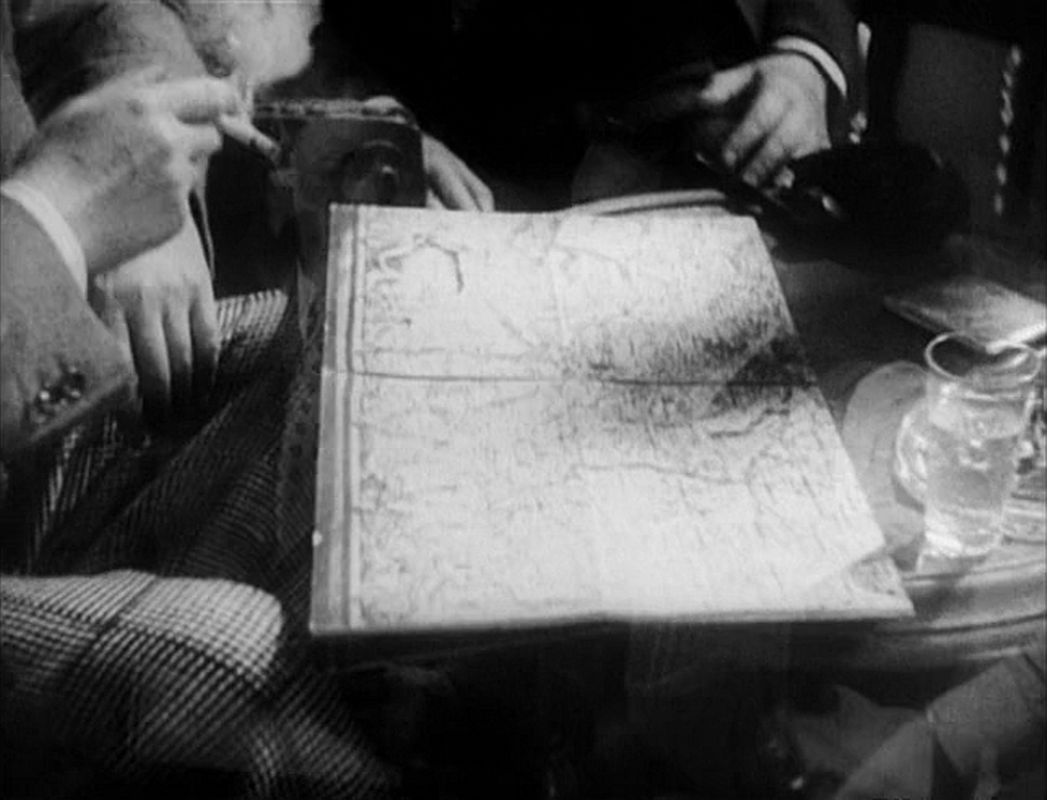
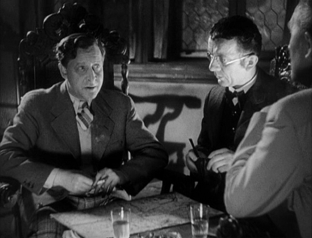
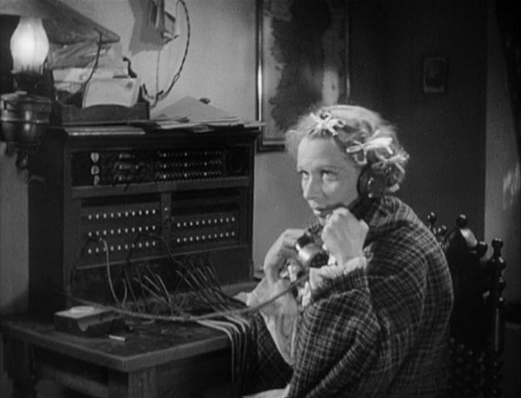
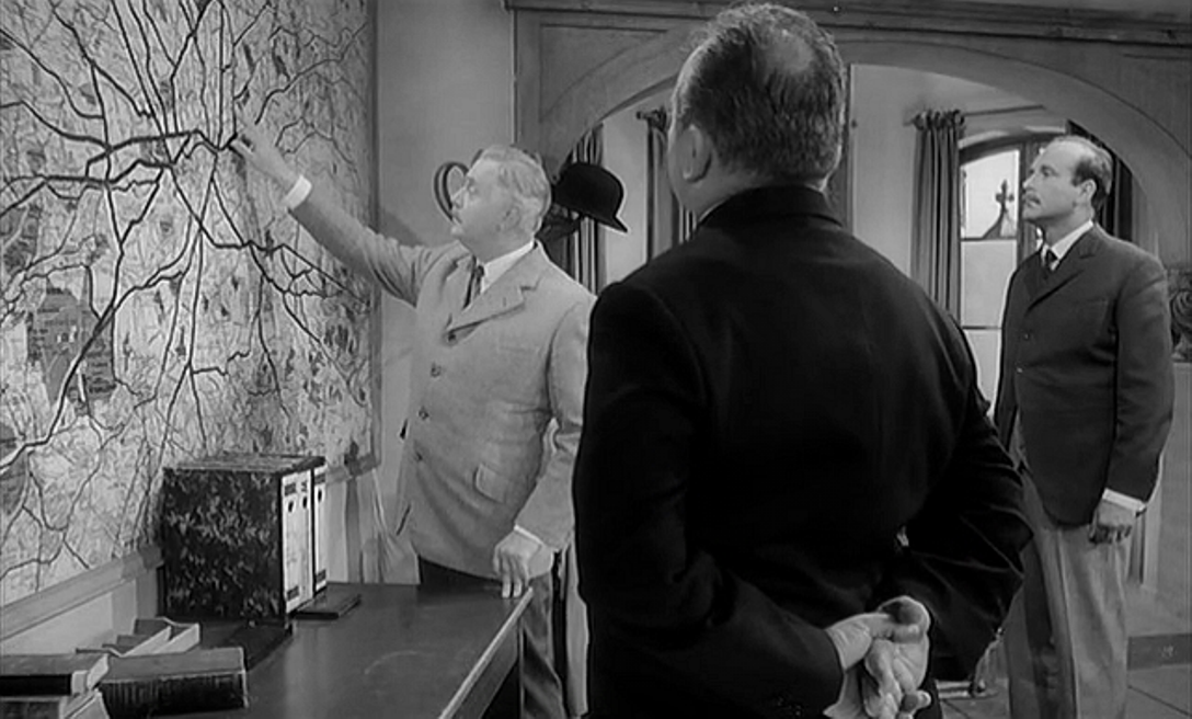
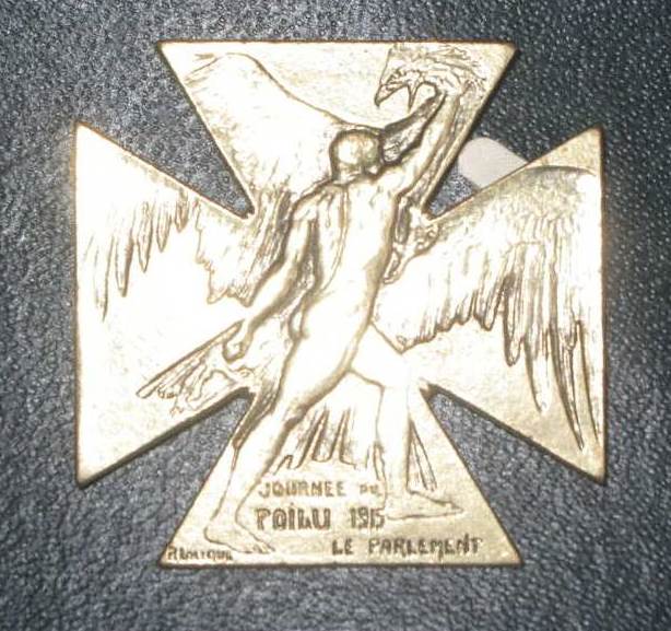
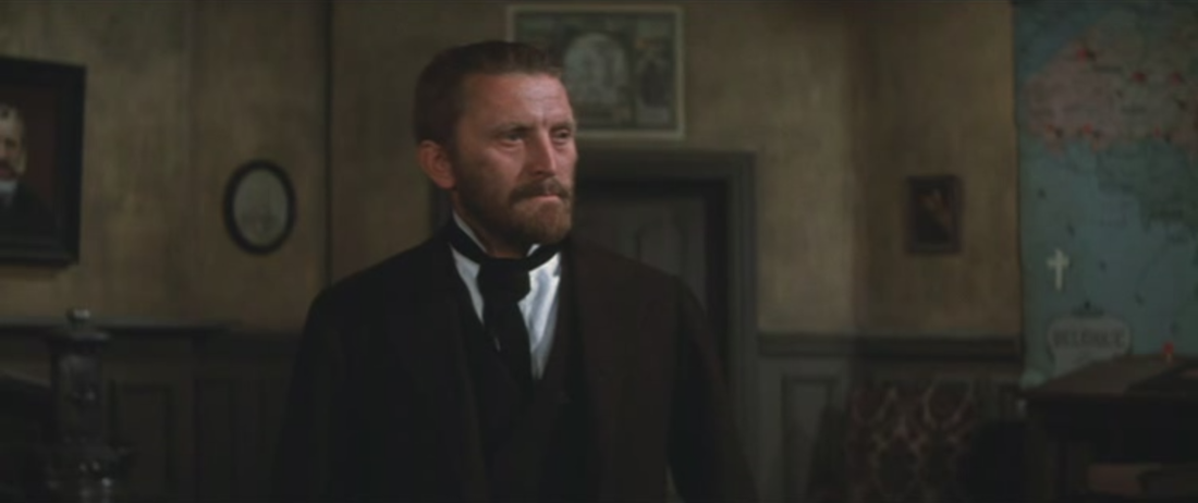
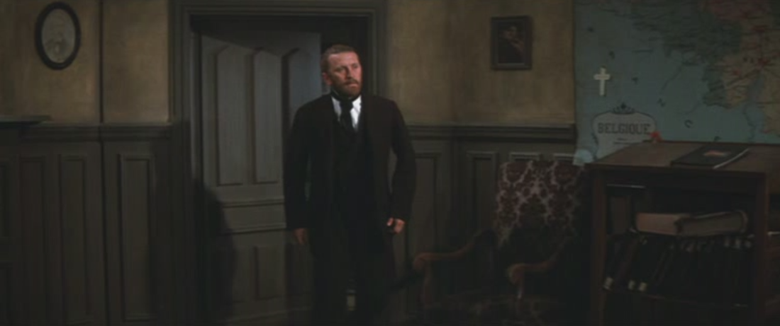
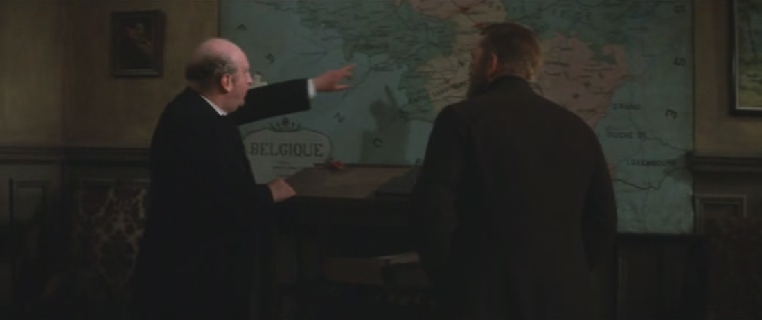
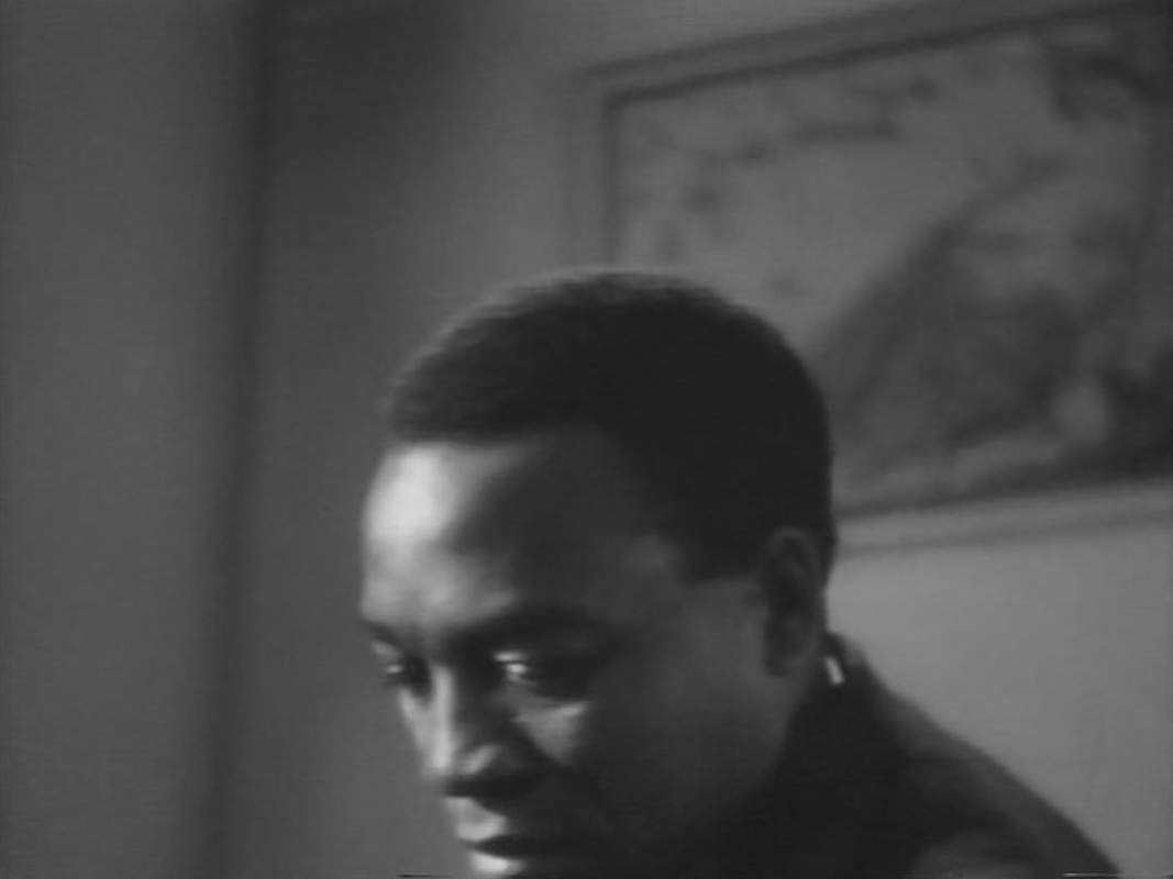
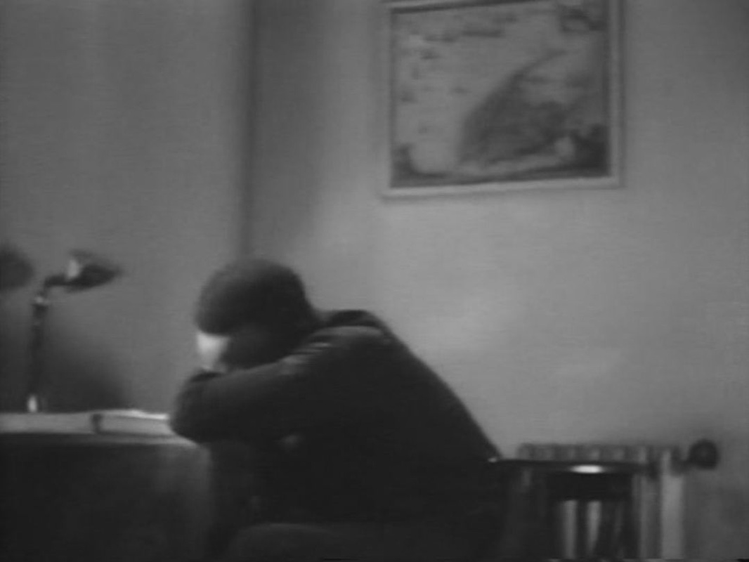
                The second of the film's two map moments shows an officer at the Front, considering the military situation: 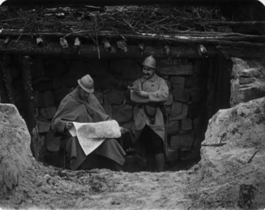 Earlier, in occupied territory, a soldier's wife points out to their daughter where the Front is, and where her father might be: 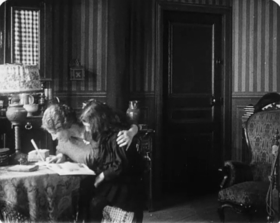 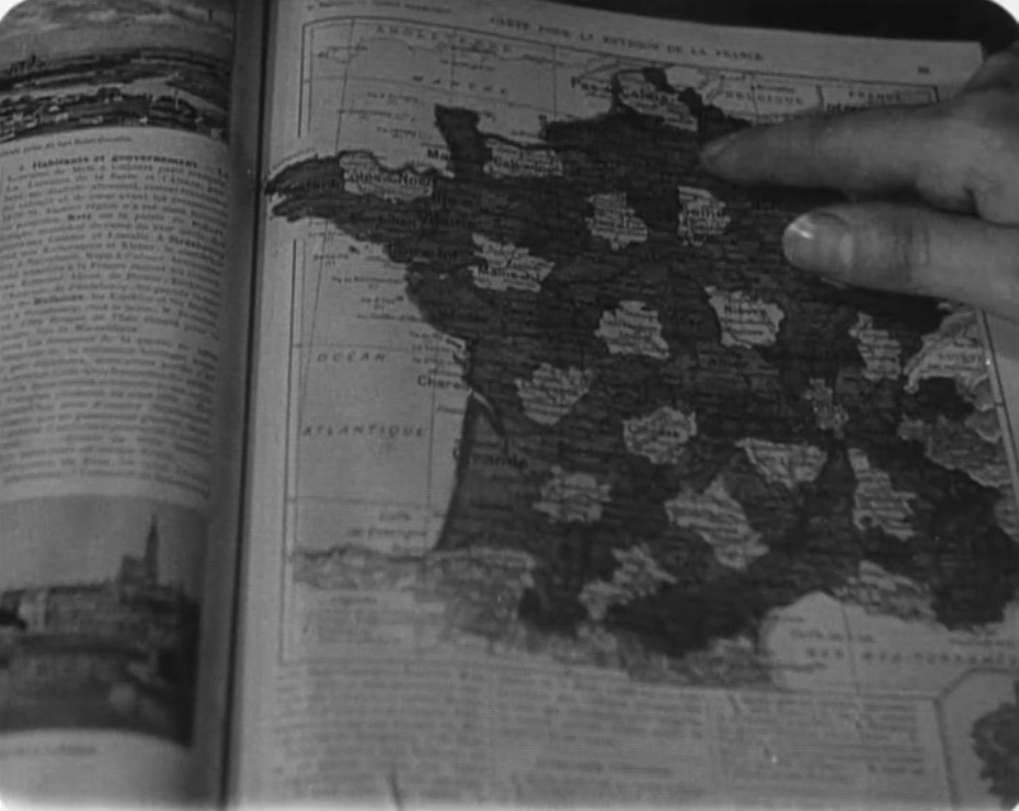 (See here for other map moments from the 1914-1918 war.) 100 years ago, the French parliament organised two days of fund-raising across France for the benefit of soldiers at the Front. Artists were commissioned to design posters and medals for sale or auction. Special events were organised, including film screenings. See here for various documents related to the journée. Feuillade's film shows the surprise reunion of a soldier with his wife and daughter at precisely this time, Christmas 1915. Without relating specifically to the journée, the film embodies the spirit of such enterprises. 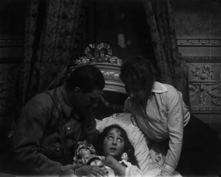
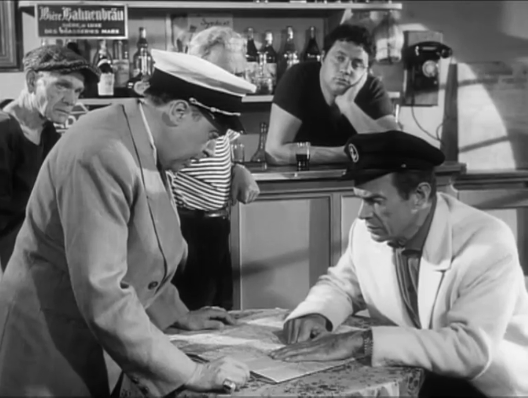
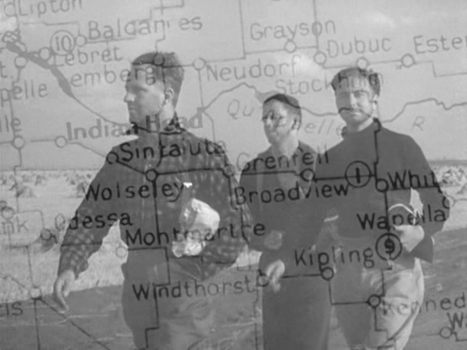
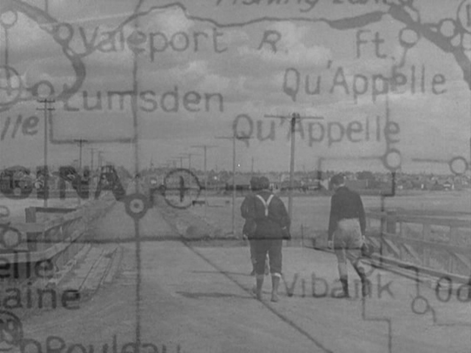
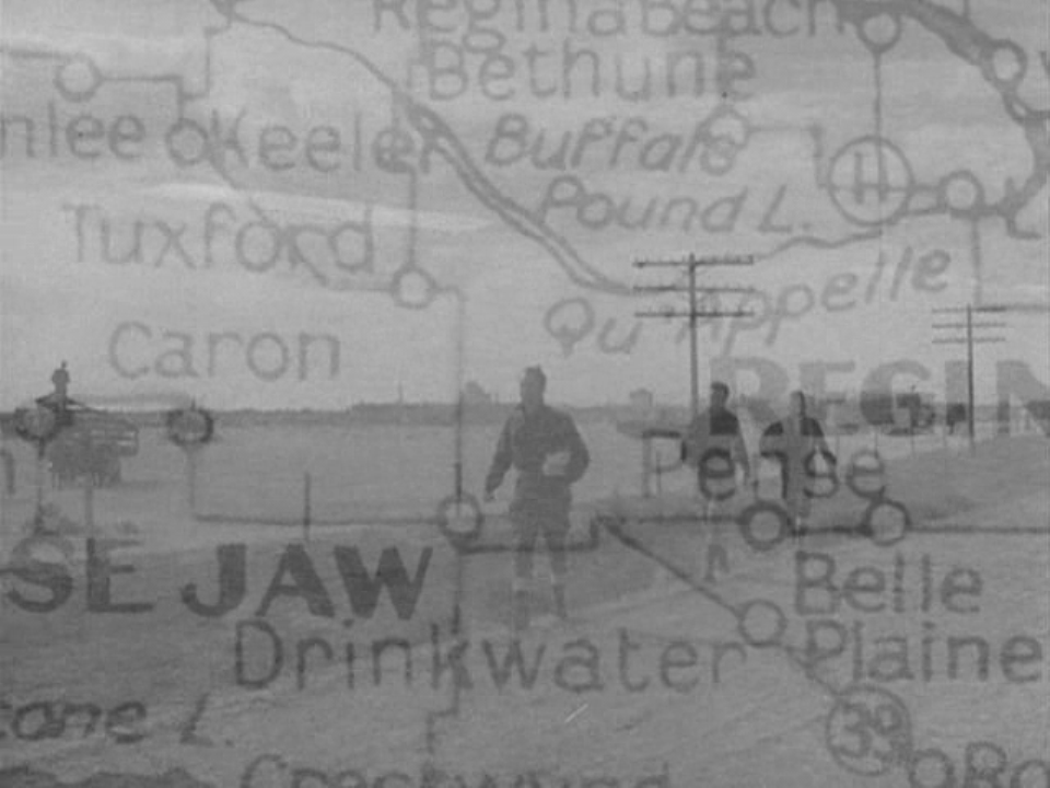
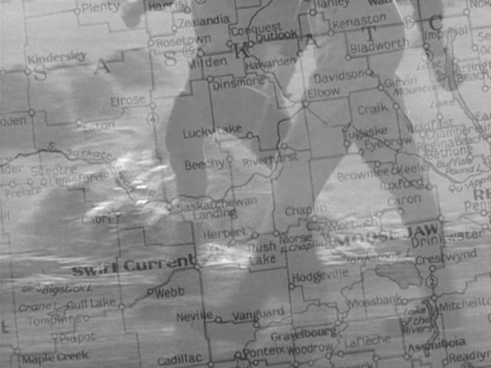
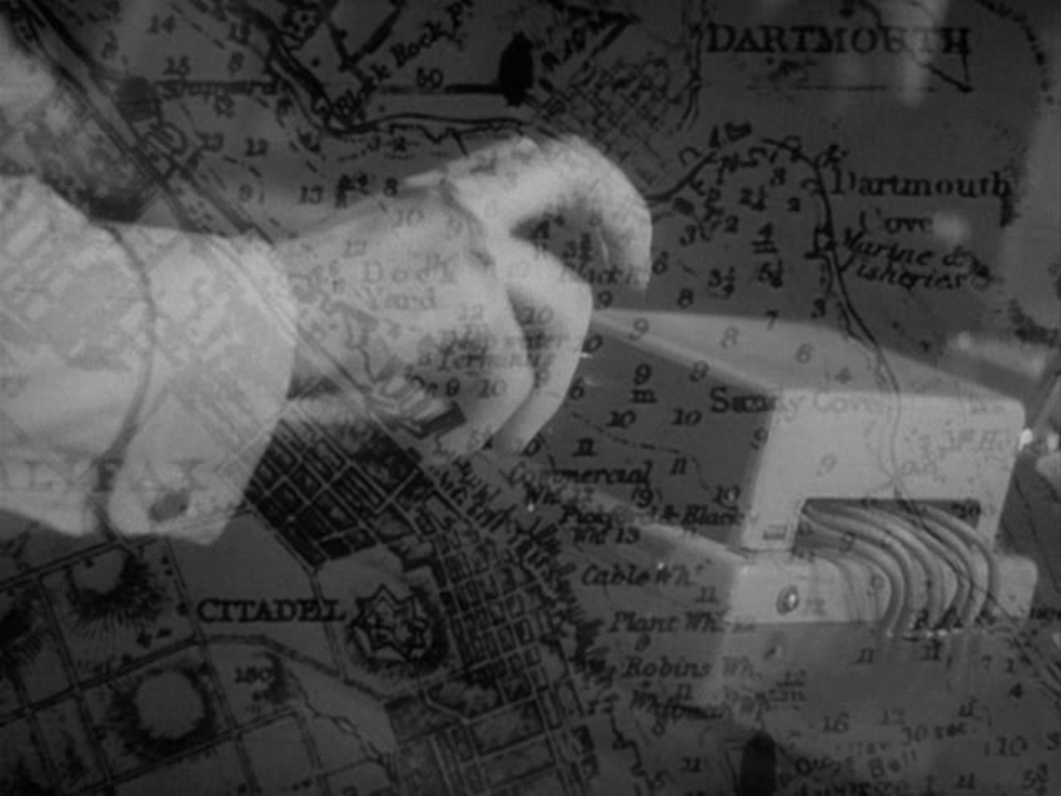
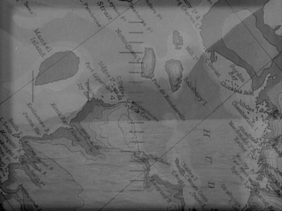
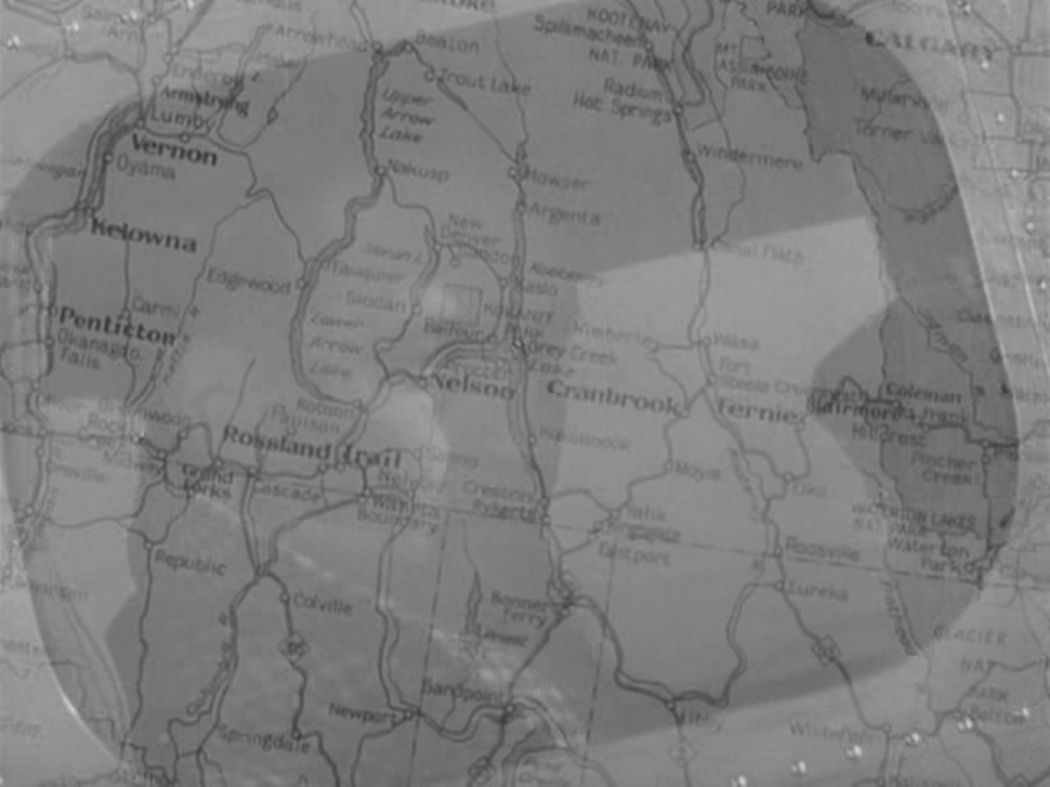
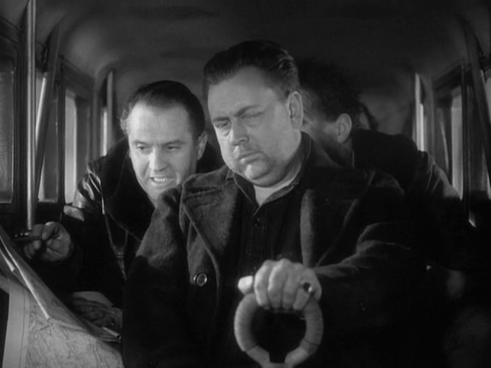
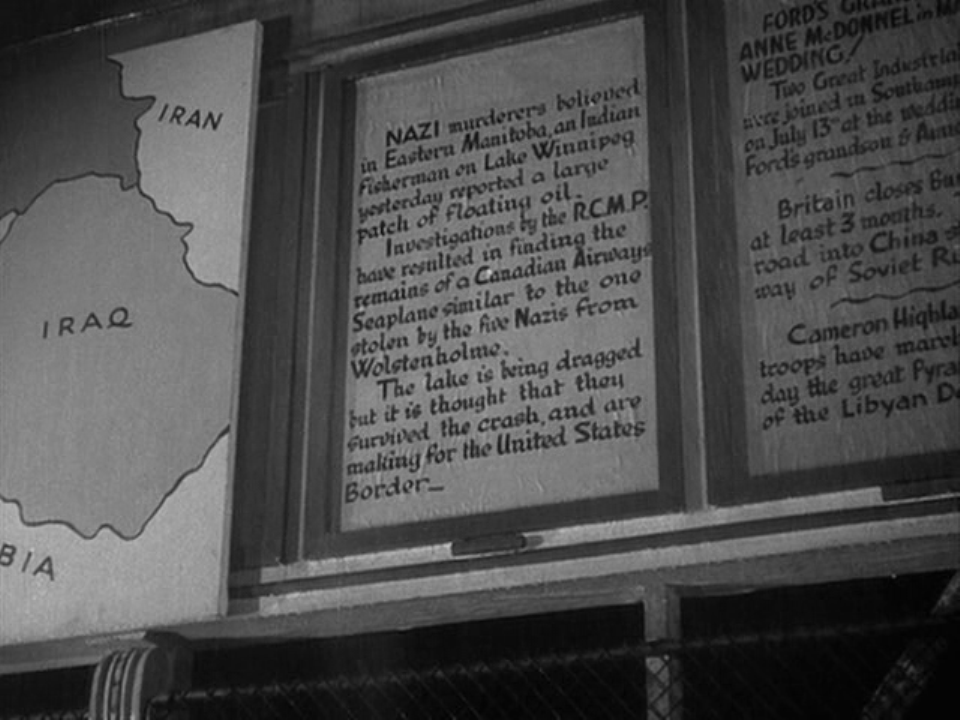
 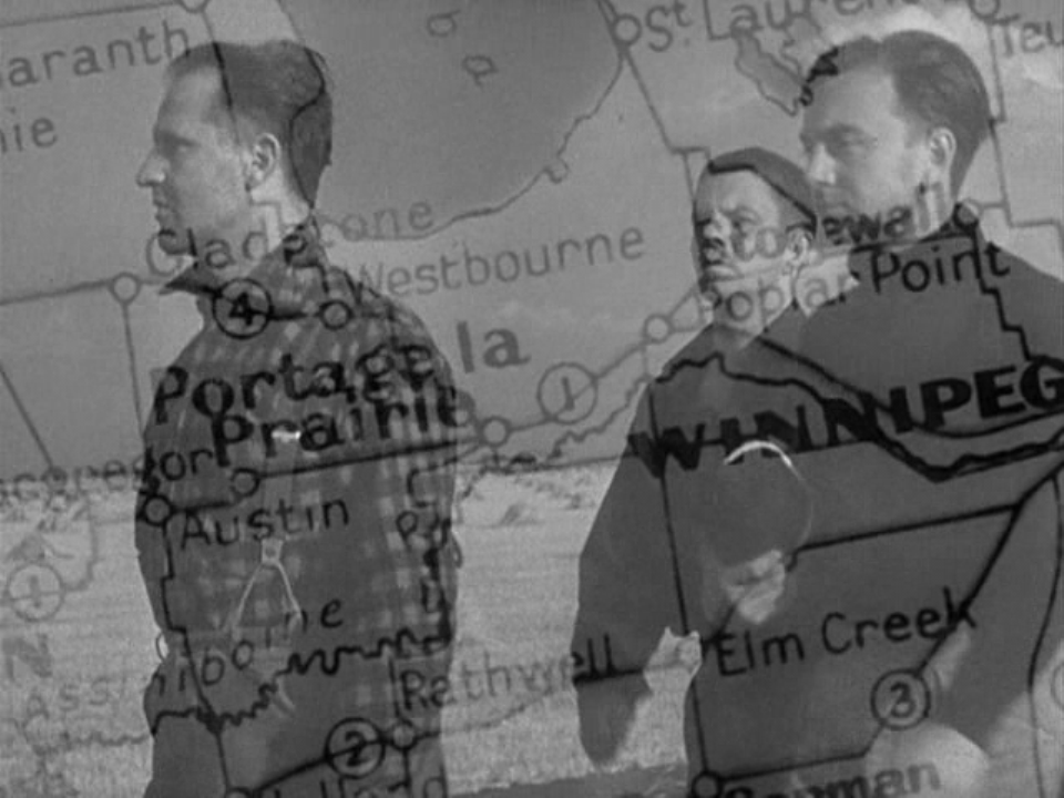 With at least 23 different views of maps, 49th Parallel is one of the most map-intensive feature films I have come across. The film is also distinctive in its insistent correlation, as above, of the place on the map and the place in the film. The journey of the U-boat men towards the US border from Winnipeg is traced on the map, each time presented as a dissolve out of the real world and then back into it:
Canada as setting is established in the film's opening by the same procedure, passing from an aerial view through clouds to a view of a map then to a view of a specific place on the map: Through most of the film similar dissolves to and from maps establish connections between an action and a locality:
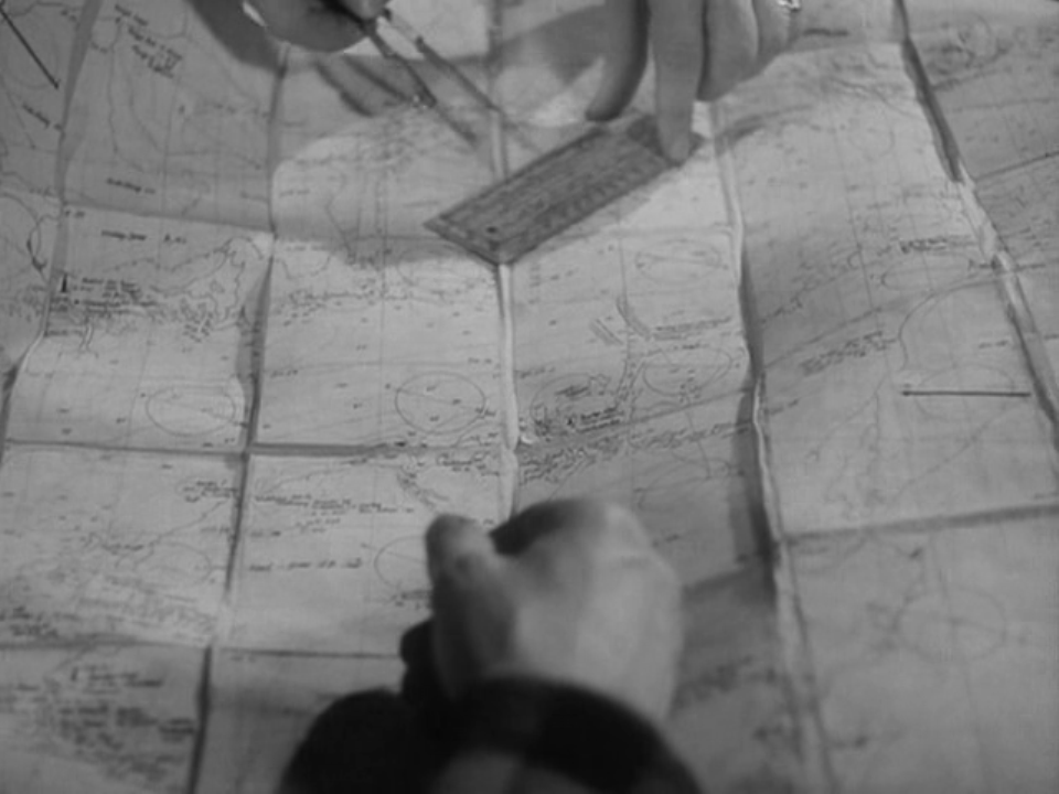
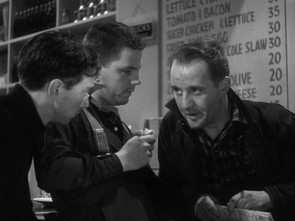
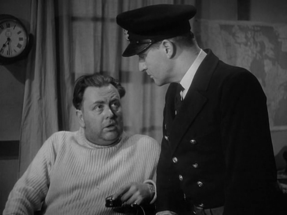
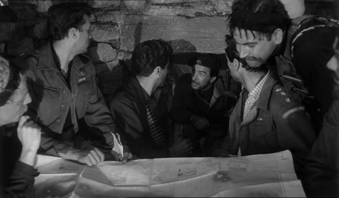
One of these transitions speaks of the complicity between cinematography and map-making through a correspondence of shapes, if not an exact topographical match: Maps also appear within the diegesis, unsurprisingly. The Germans consult them to know where they are or where they should head:
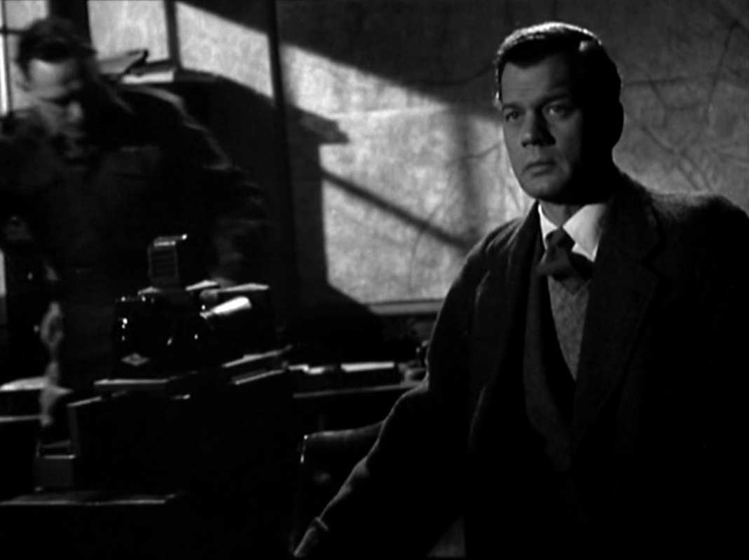
There are some maps in the background of scenes:
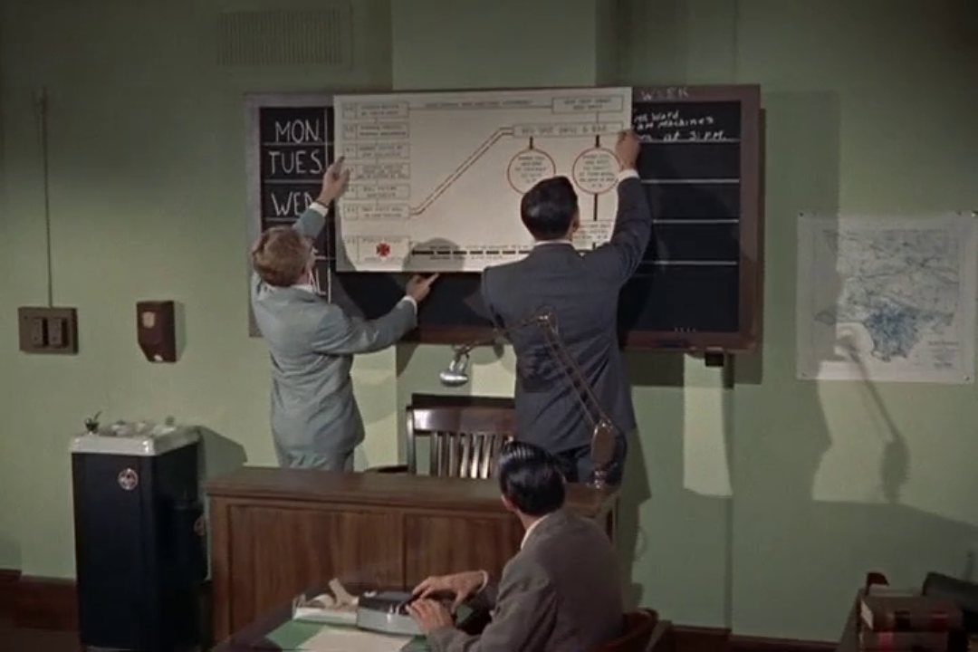
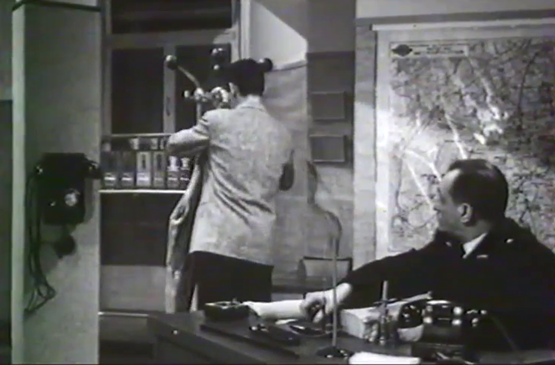
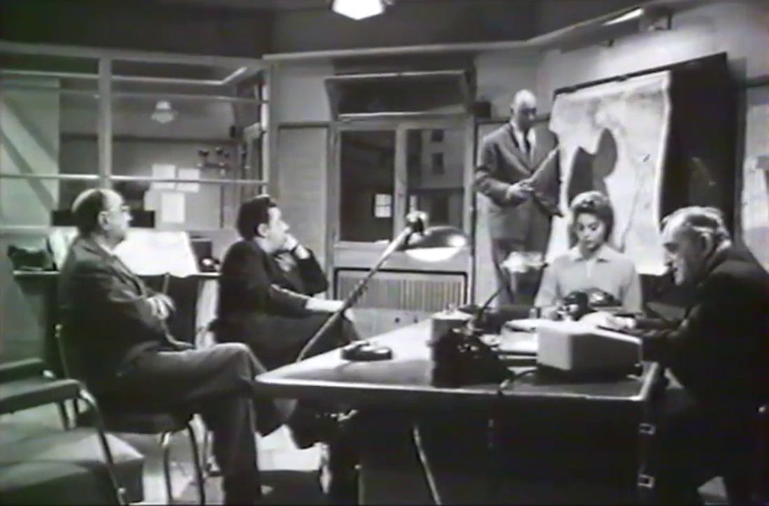
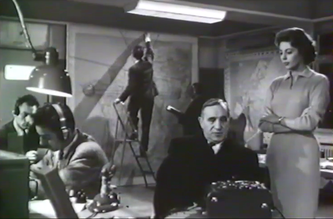
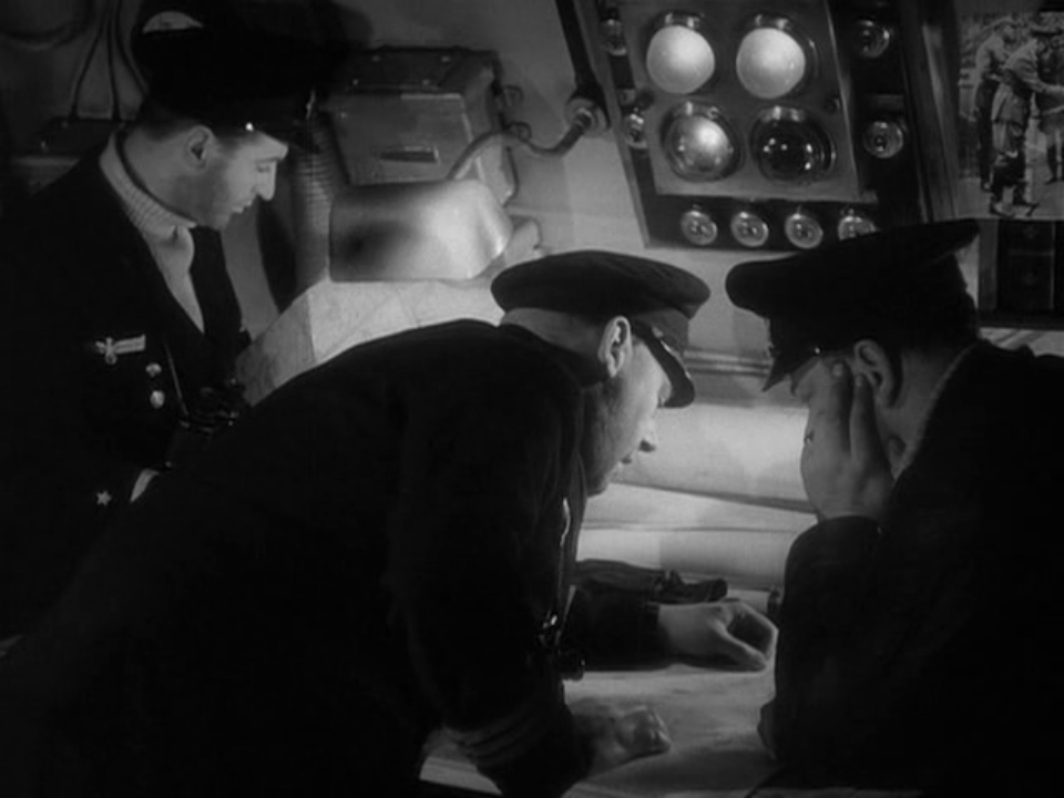
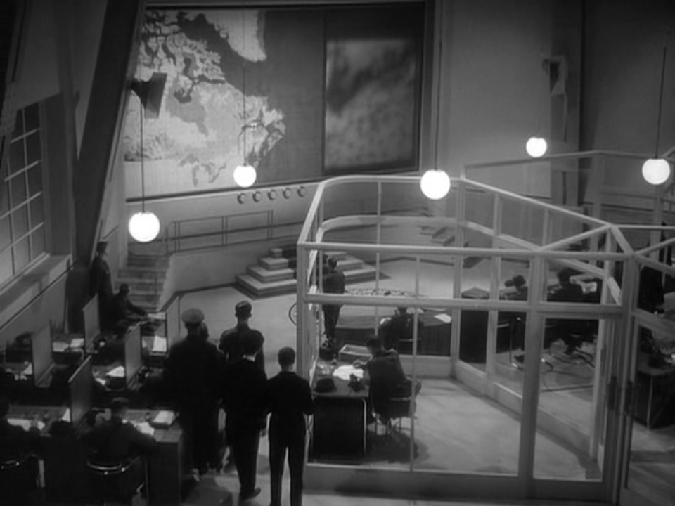
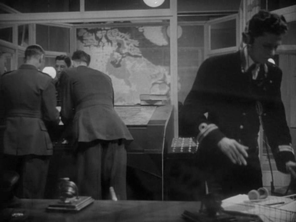
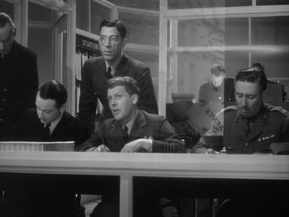
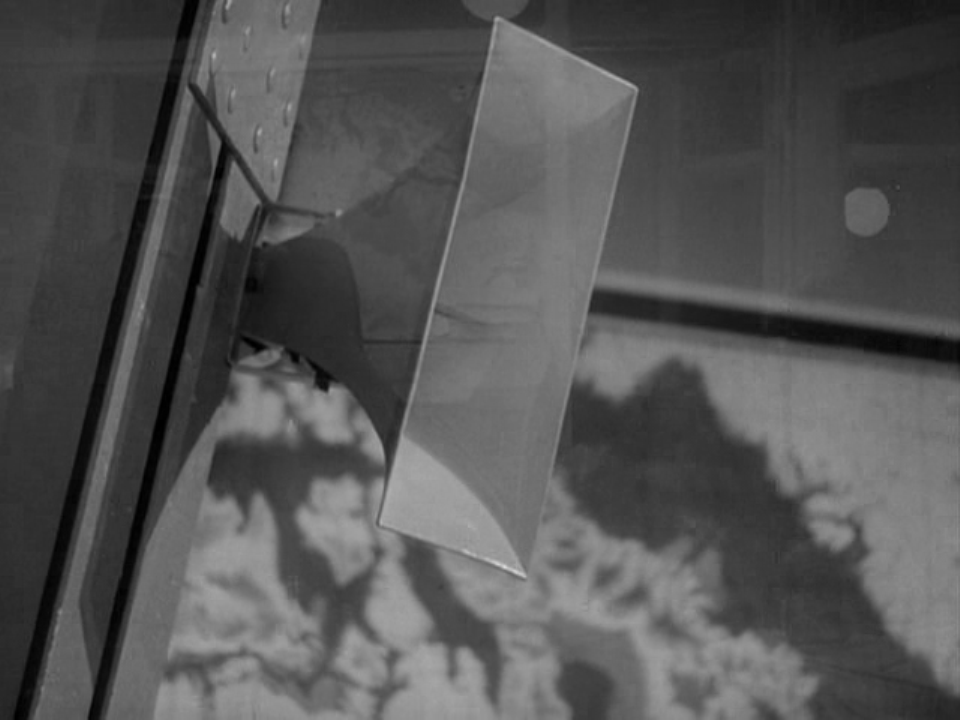
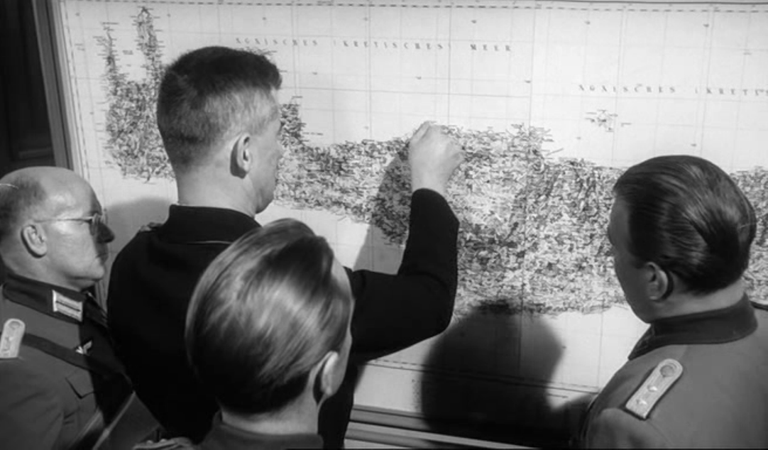
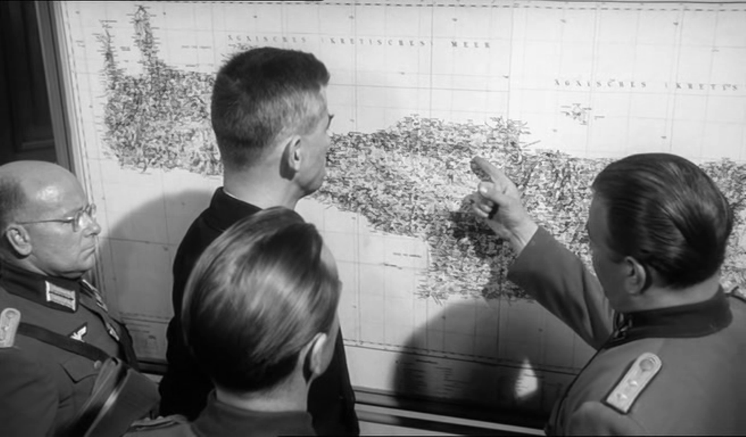
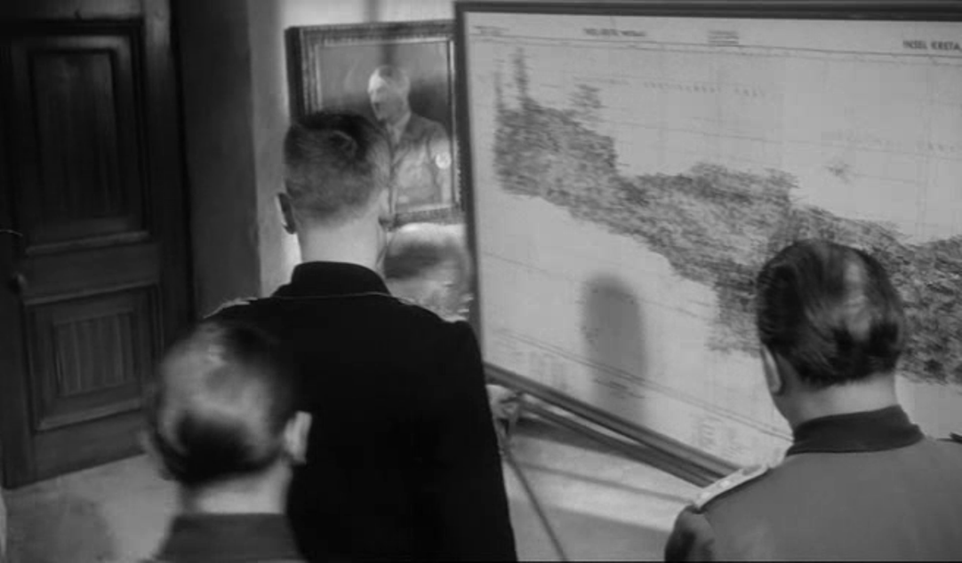
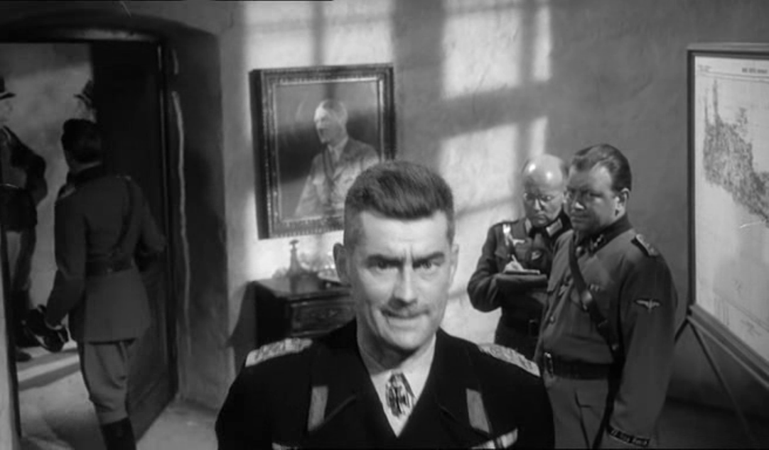
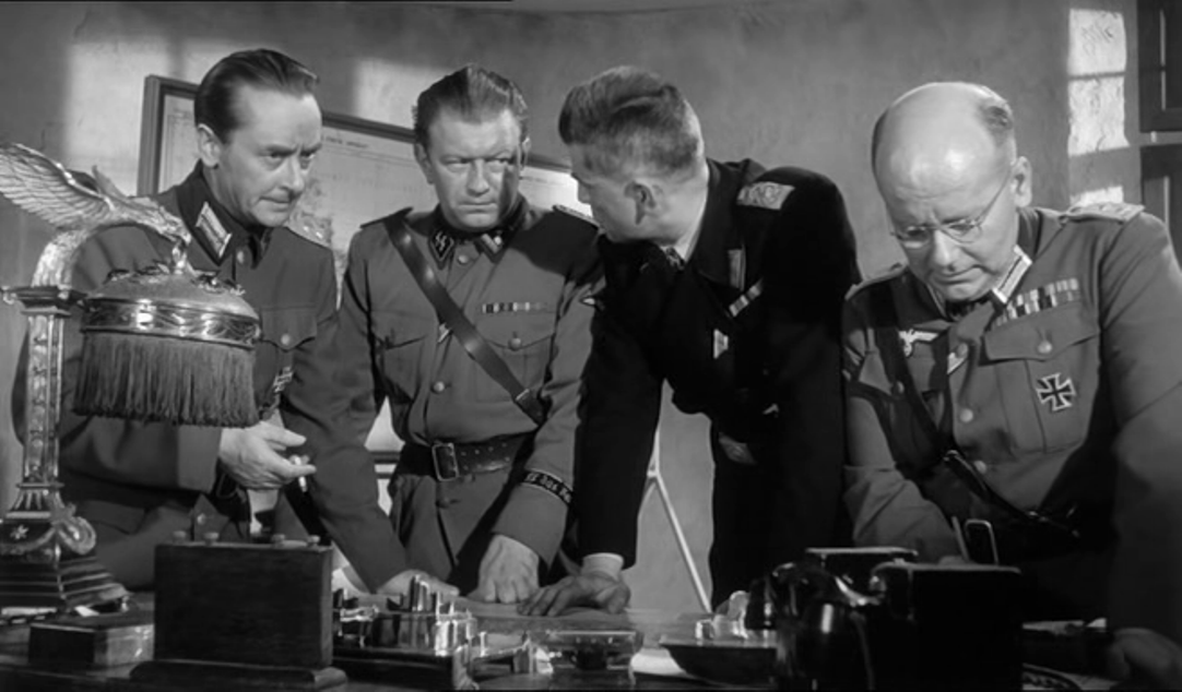
And in an impressive operations room, including a map with a screen onto which a detailed section is projected, still within the diegesis:
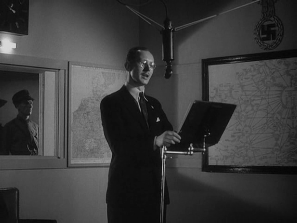
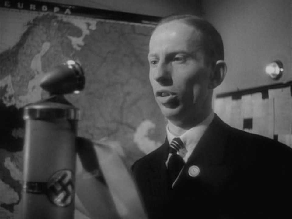
Towards the end of the film a competing cartography is presented through views of Nazi radio broadcasters standing in front of German maps:
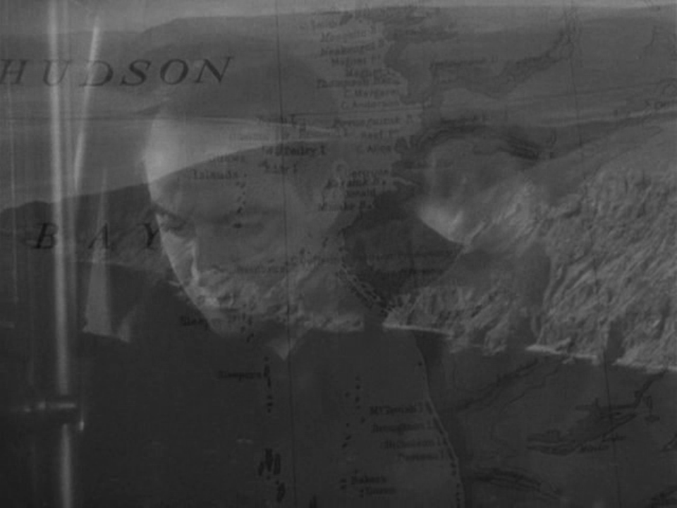
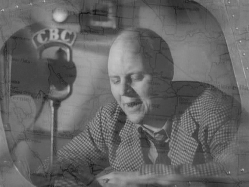
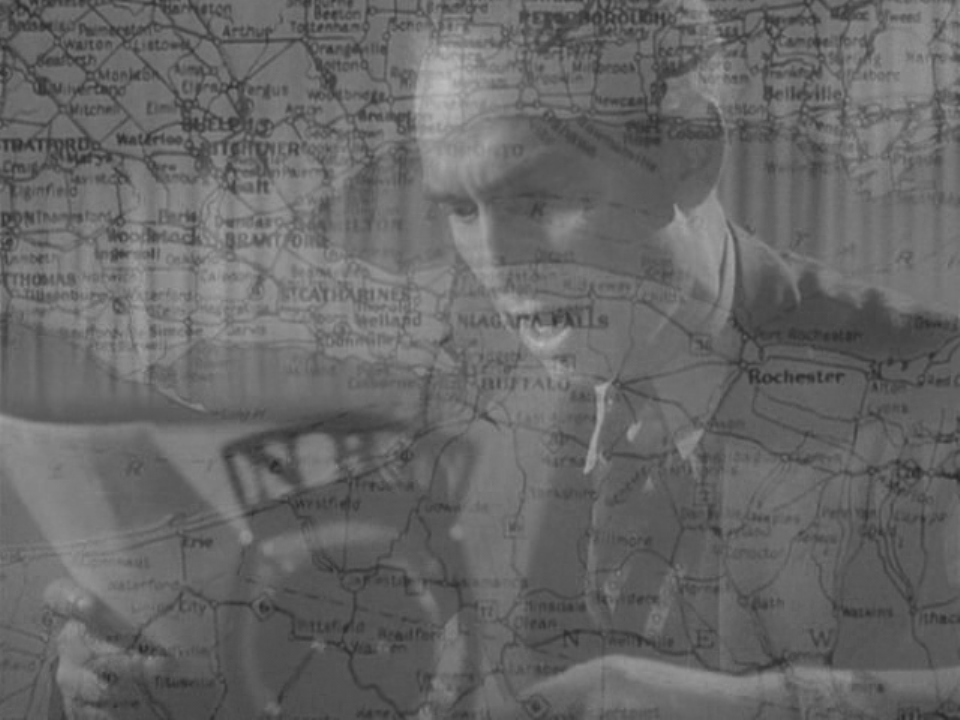
These are countered by views of Canadian broadcasters, sharing the authority of the film's narrative voice by dissolves to or from maps of Canada:
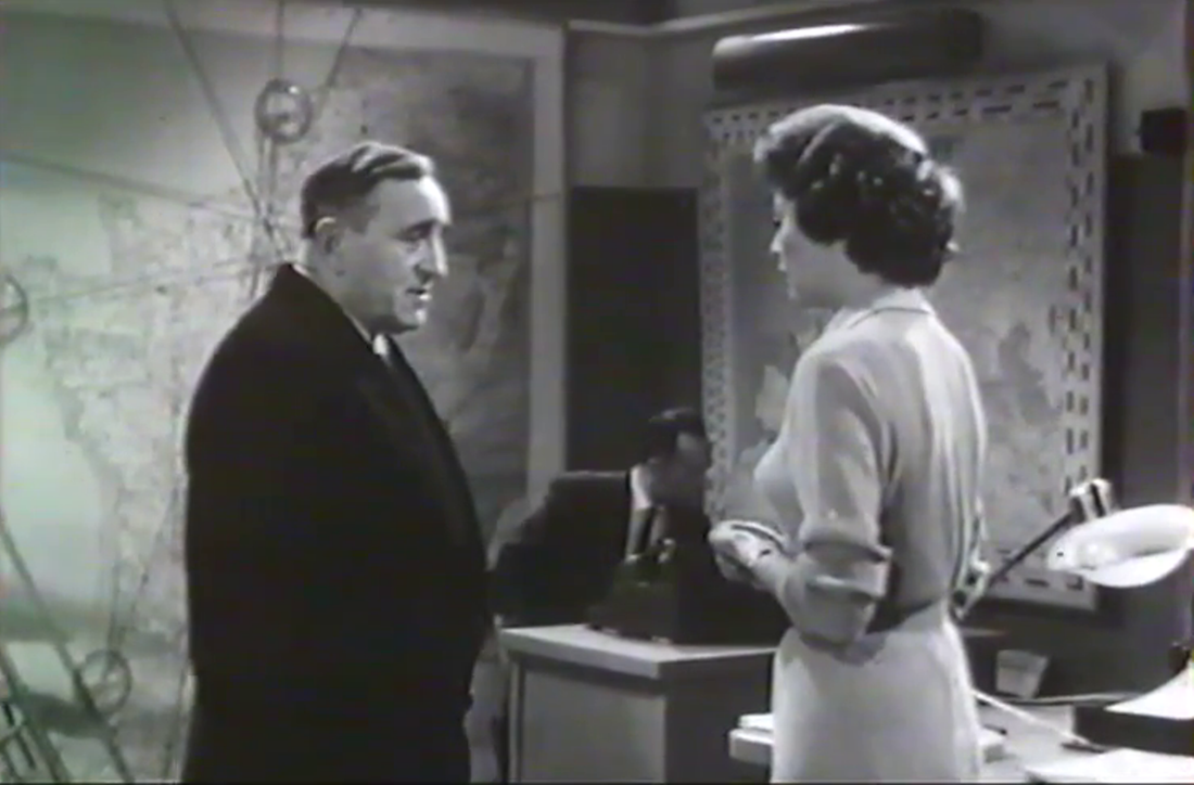
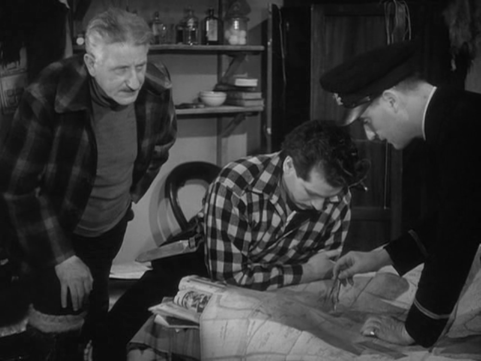
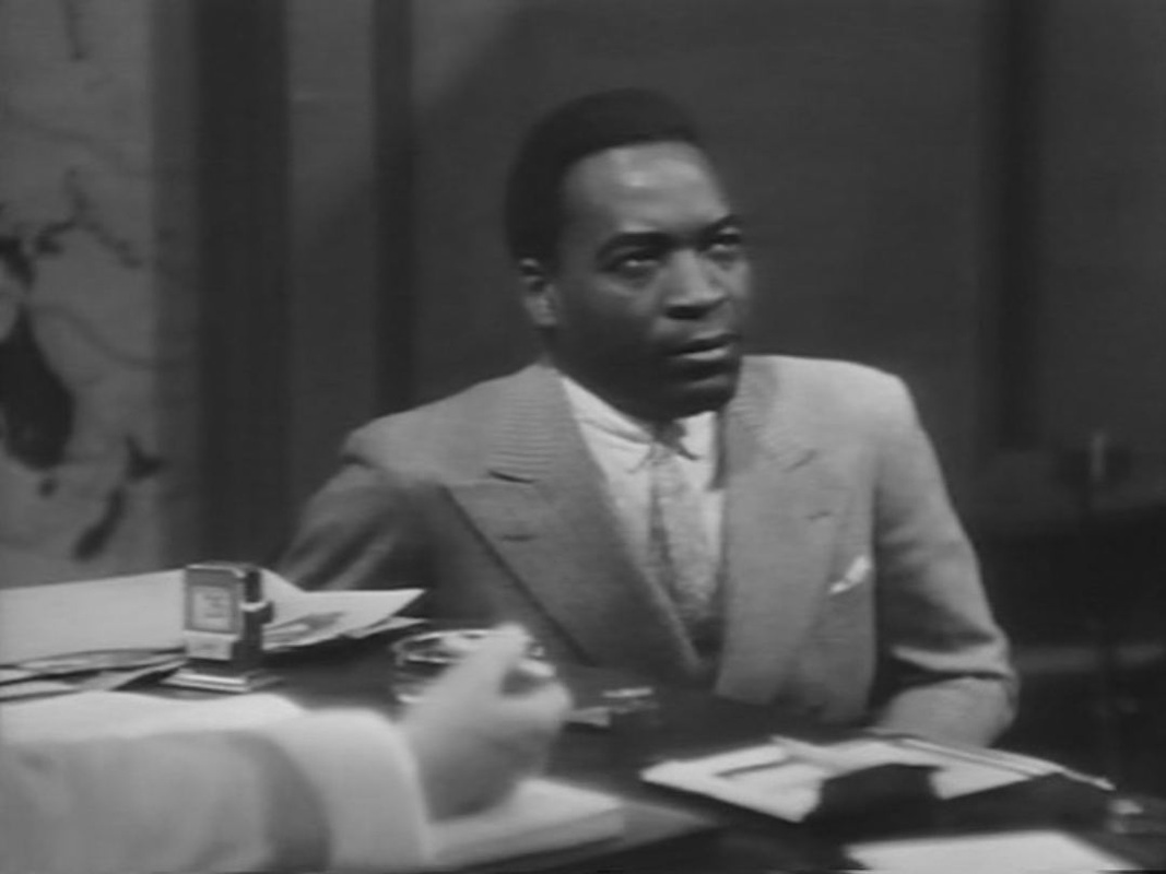
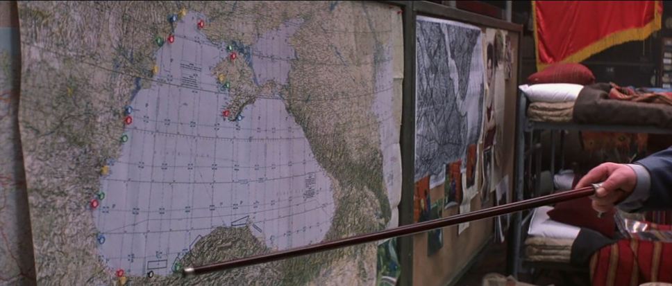
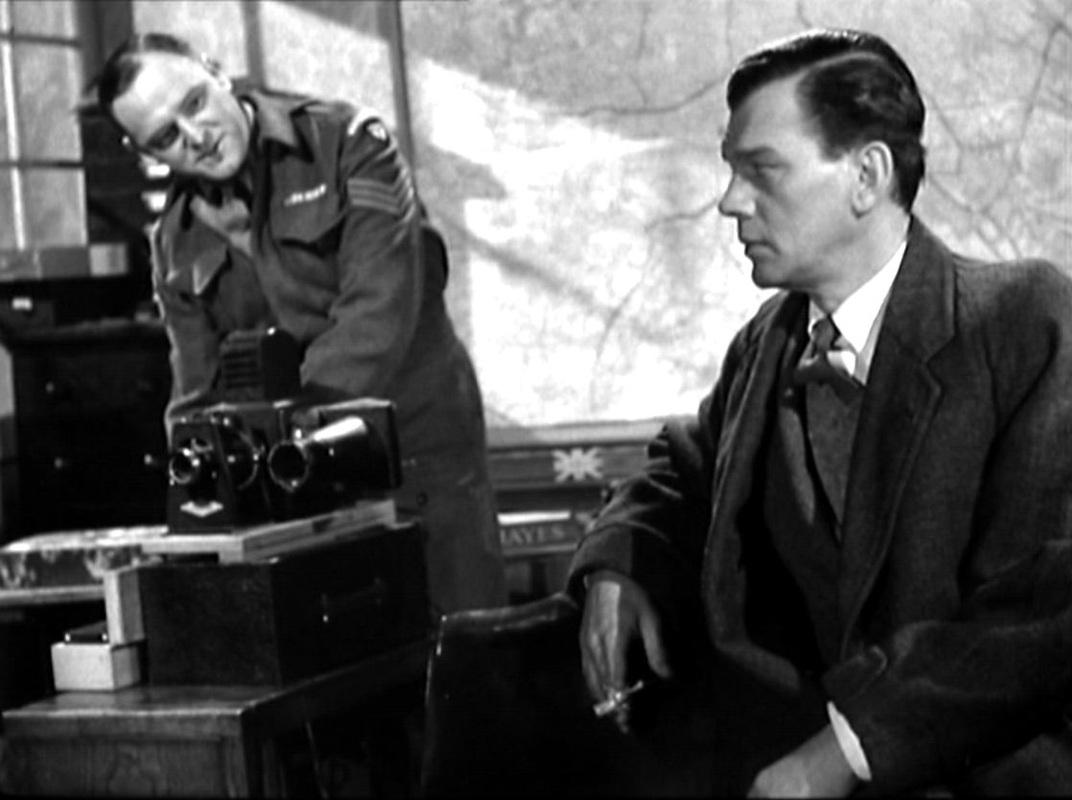
Whether as narrational device or element in the mise-en-scène, maps are so much present in the film that they acquire a strong symbolic force, equal at least to that of the film's cartographic title. Two shots in particular suggest what a cartographically informed symbolism has to compete with. In the U-boat the camera looks first at a photograph of Hitler, placed in front of a volume containing nautical maps, 'nautische karten'. It then pans down to show the lieutenant consulting such a map: 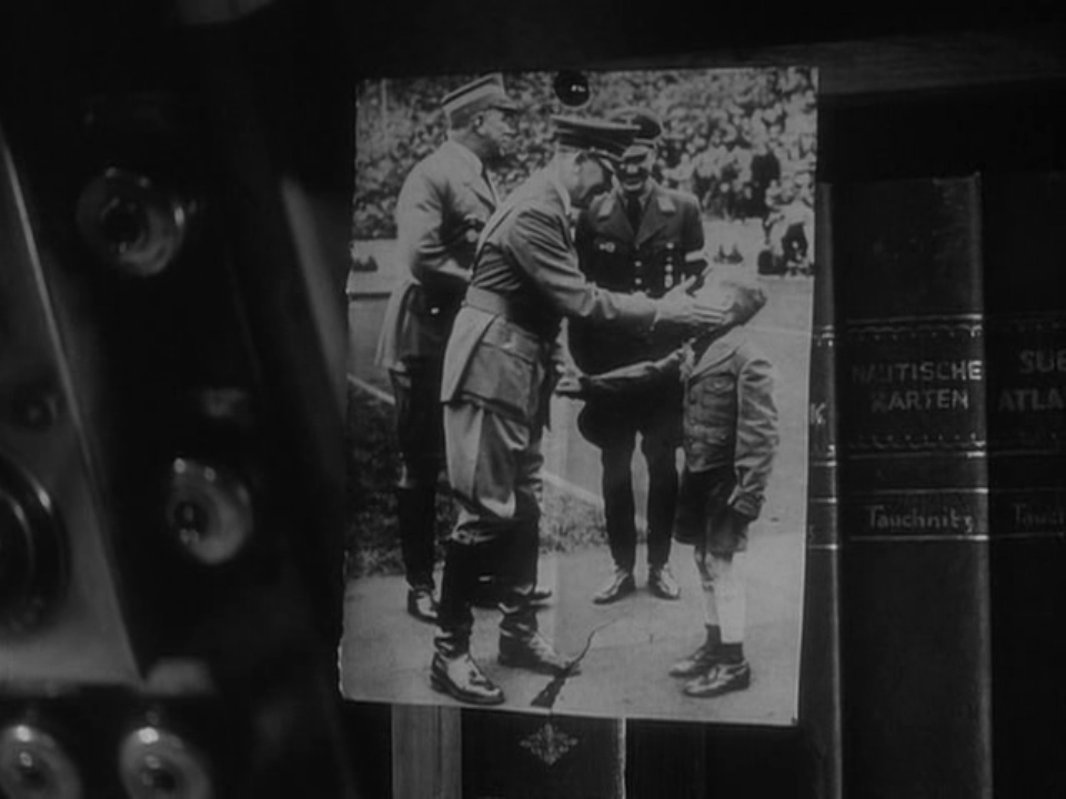 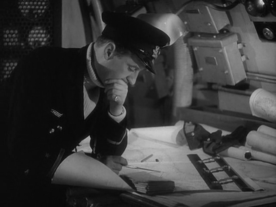 Later, as the lieutenant and a French-Canadian trapper are looking at a German-made map of Hudson Bay, the Nazi argues for the virtues of his ideology and shows him a book: 'This is the Bible. You must get a copy. It will explain everything to you as it has to me': 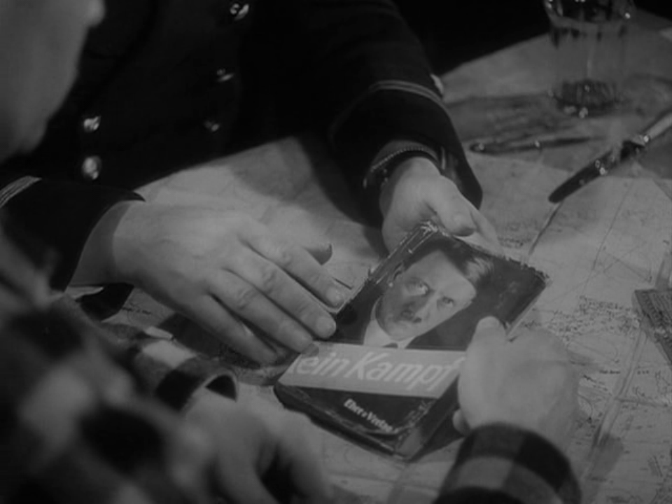 The Canadian's seemingly facile response - 'You better look up how to get out of Canada, then' - is an argument for cartography over ideology, though of course Powell's film is itself as ideological as it is cartographic. The opening discourse says as much, affirming an ideology as it speaks of map-making: 'I see a long straight line athwart a continent. No chain of forts or deep flowing river or mountain range, but a line drawn by men upon a map, nearly a century ago, accepted with a handshake and kept ever since. A boundary which divides two nations yet marks their friendly meeting ground. The 49th parallel: the only undefended frontier in the world.' (My thanks to Jason Woloski in Winnipeg for making me think of rewatching this film.)
    'Do you know this part of the country? It's a coal-mining region, the Borinage. There exists no more miserable people on the face of the earth than the miners who live there.' 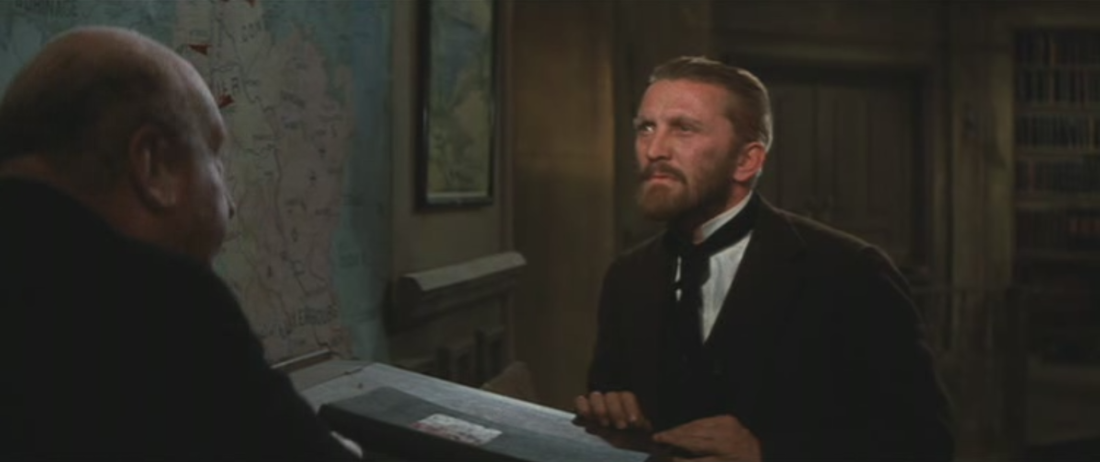 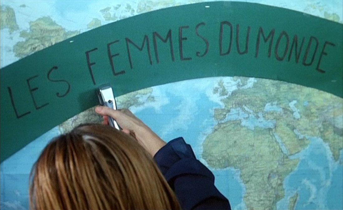     Maps feature heavily, but the central spatial machinery connecting places in the film is the sending of postcards:    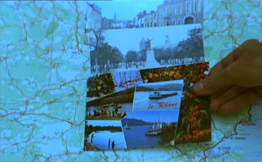 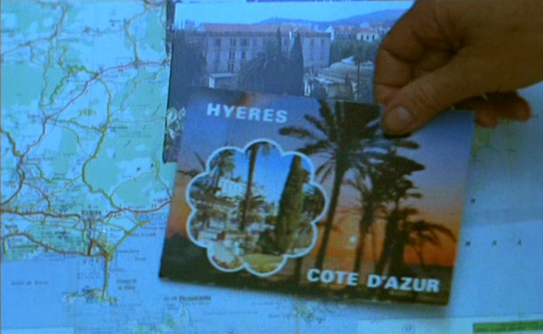  Cléo de 5 à 7 (1961) 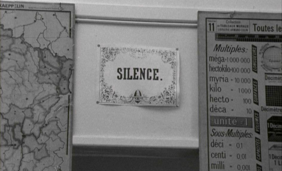 Jacquot de Nantes (1991) 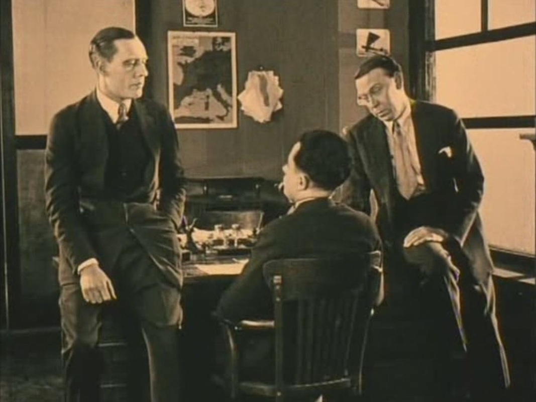 The several maps in this room and the proto-cartographic aerial views we also see suggest that, like many aviation films, La Proie du vent will manifest, in Teresa Castro's phrase, 'la pensée cartographique des images'. But twenty minutes in, after the aviator crashlands in a Slovakian forest, the film becomes for the last hour something completely different, a romantic thriller in a sinister castle. 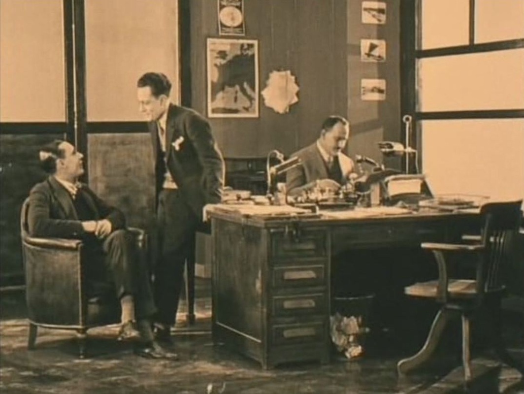 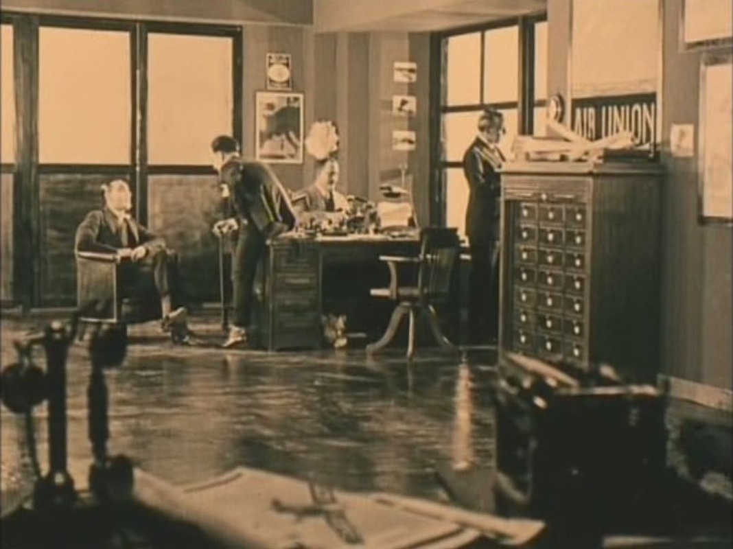  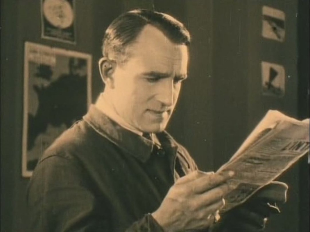 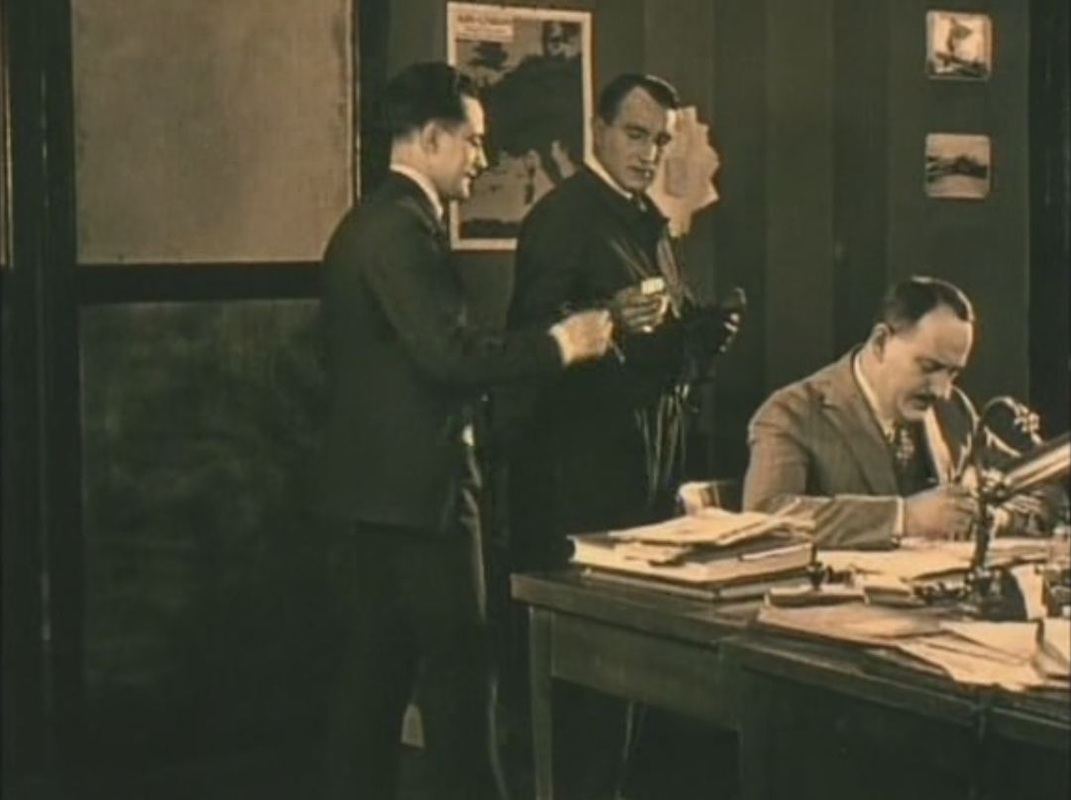  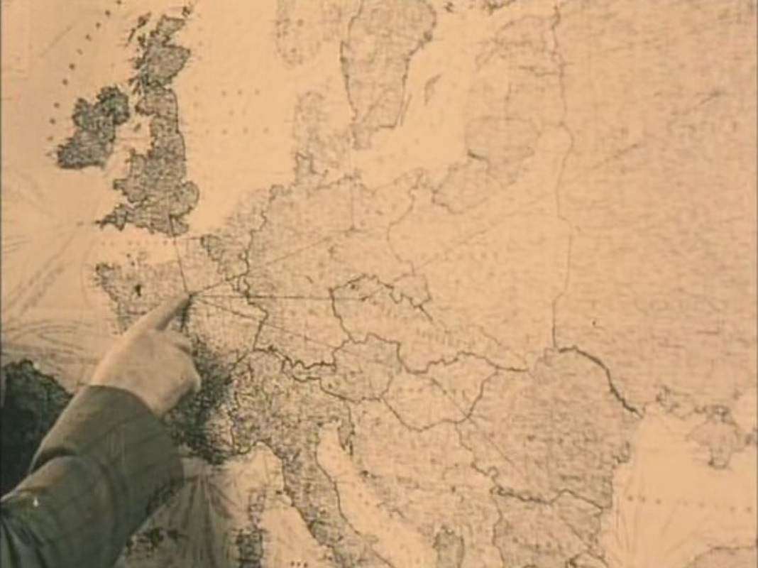 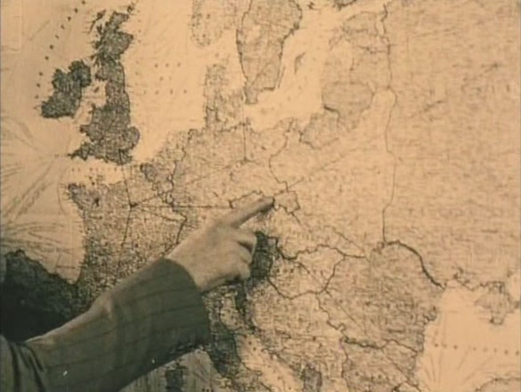 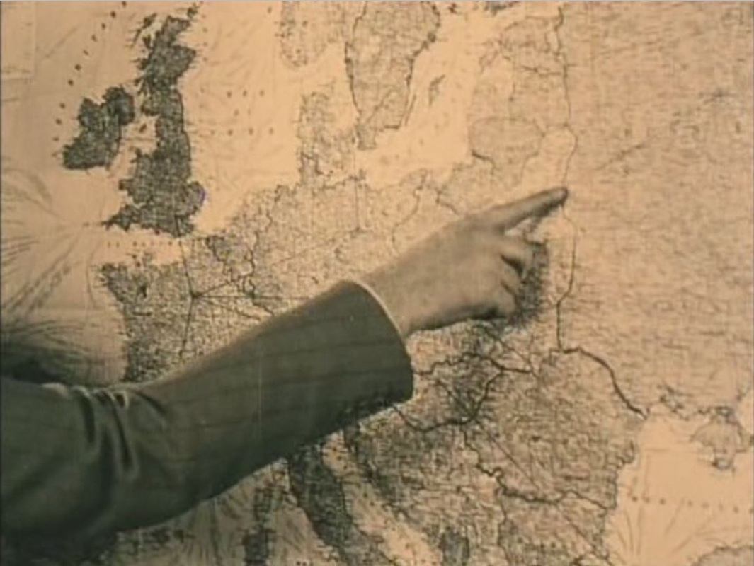 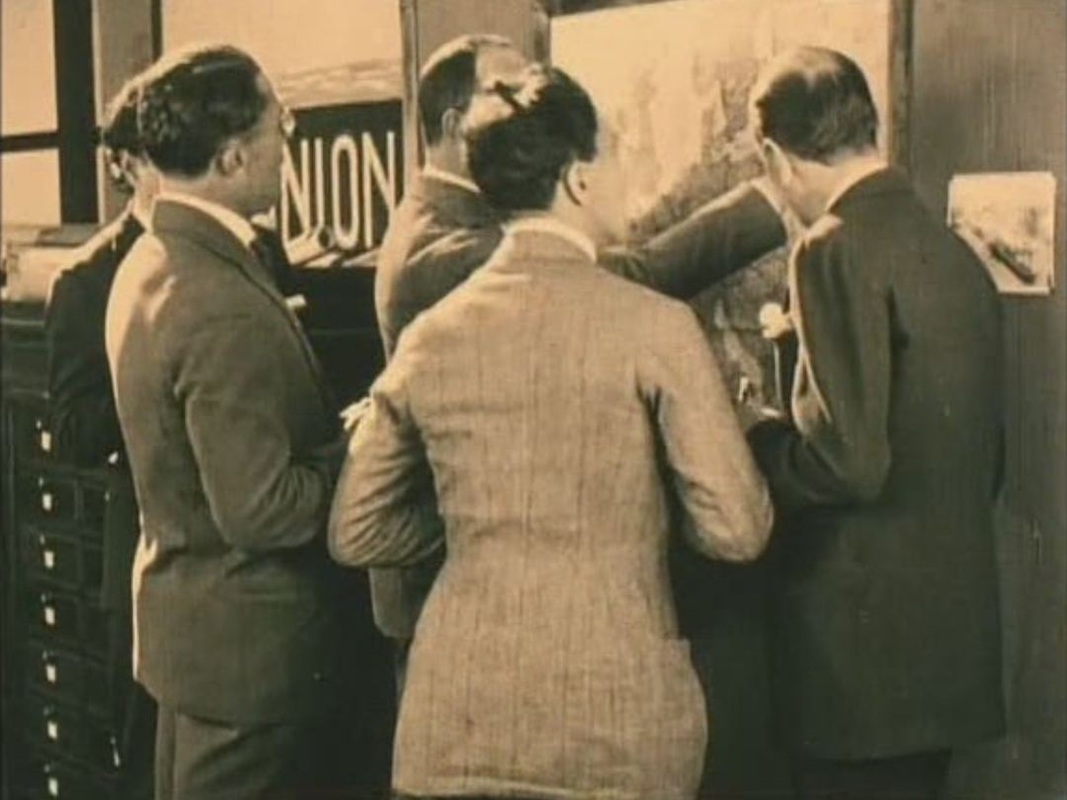 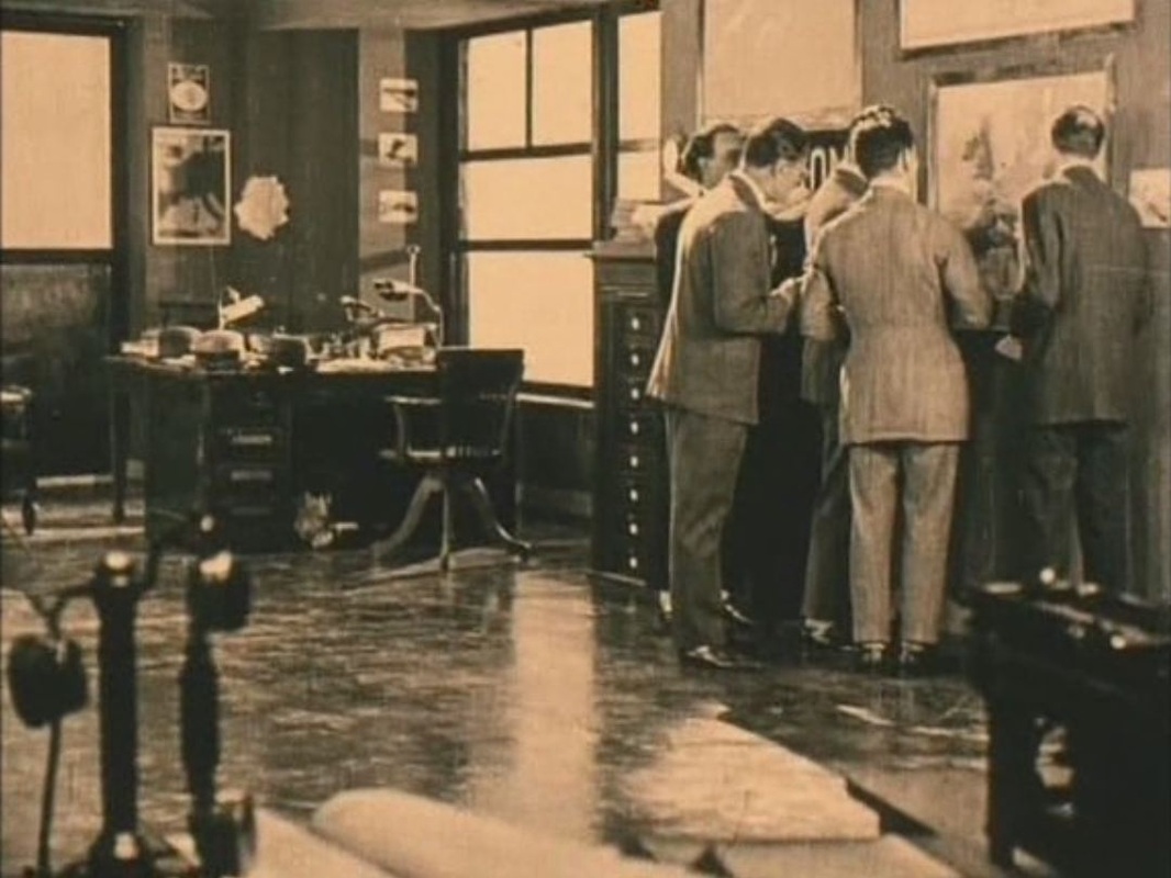  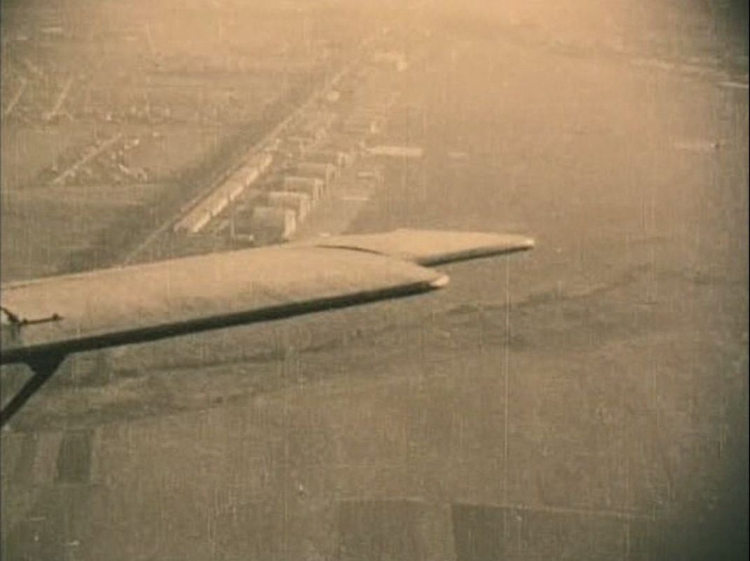 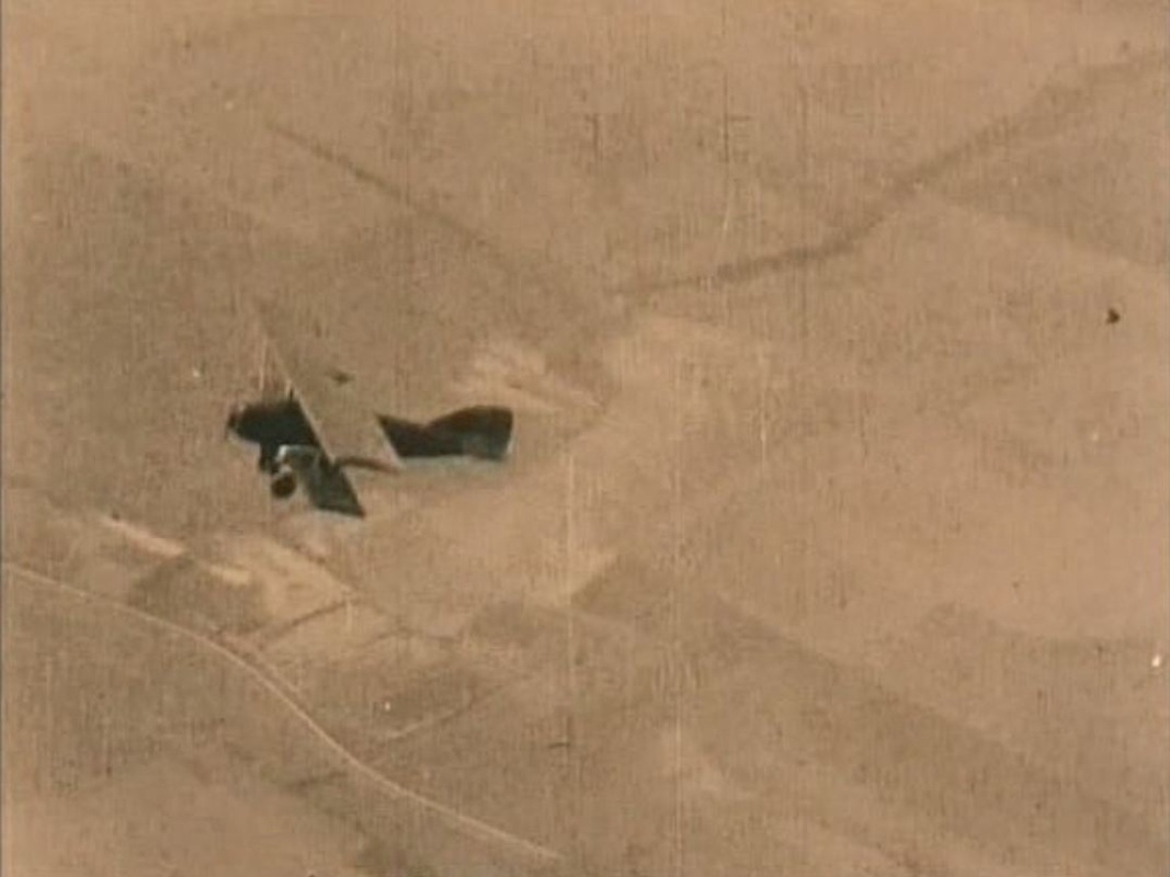 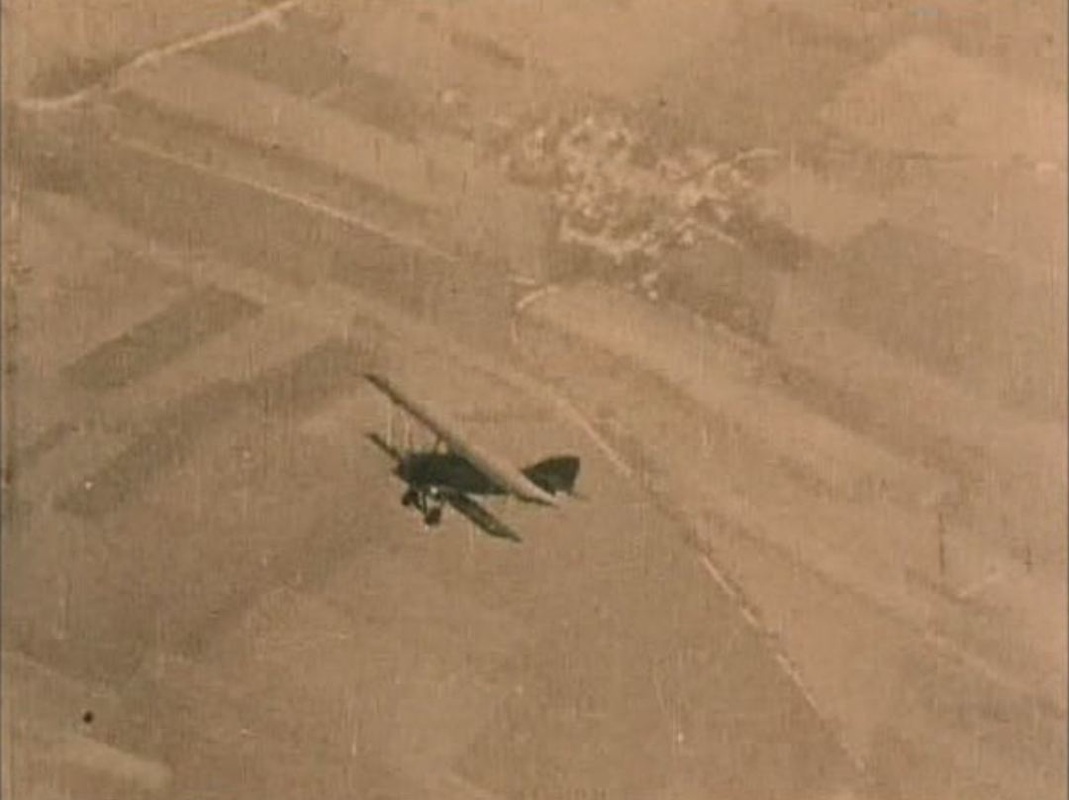 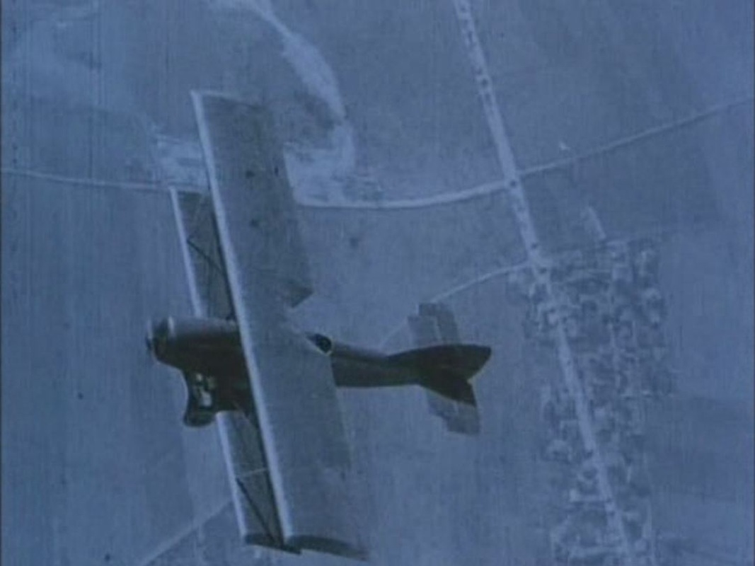 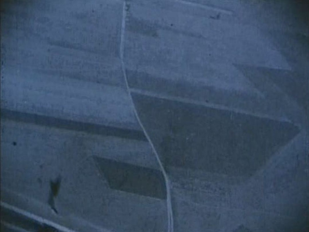 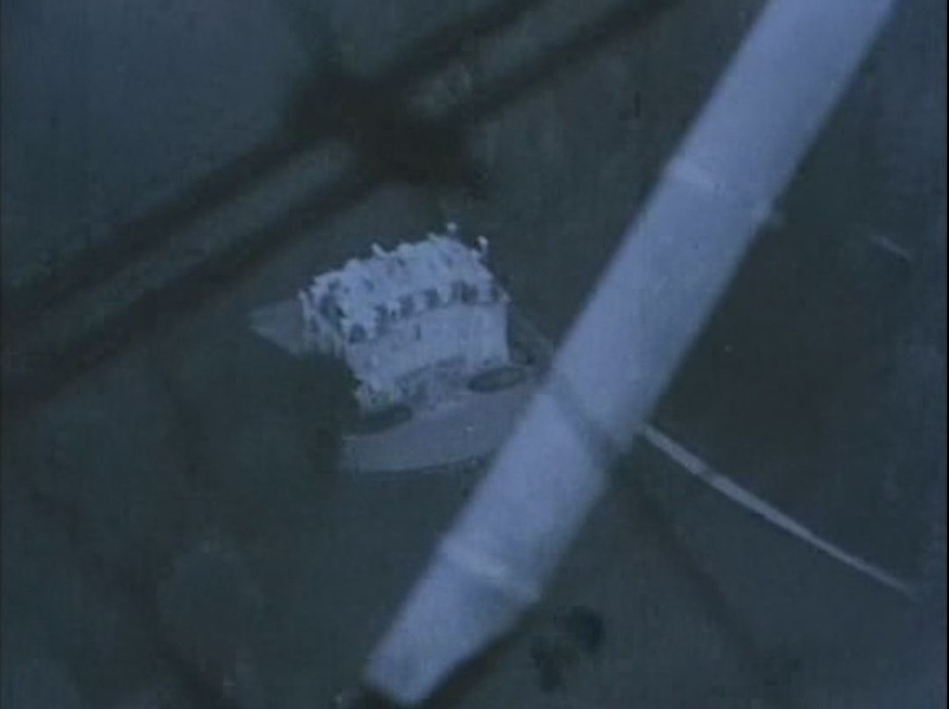 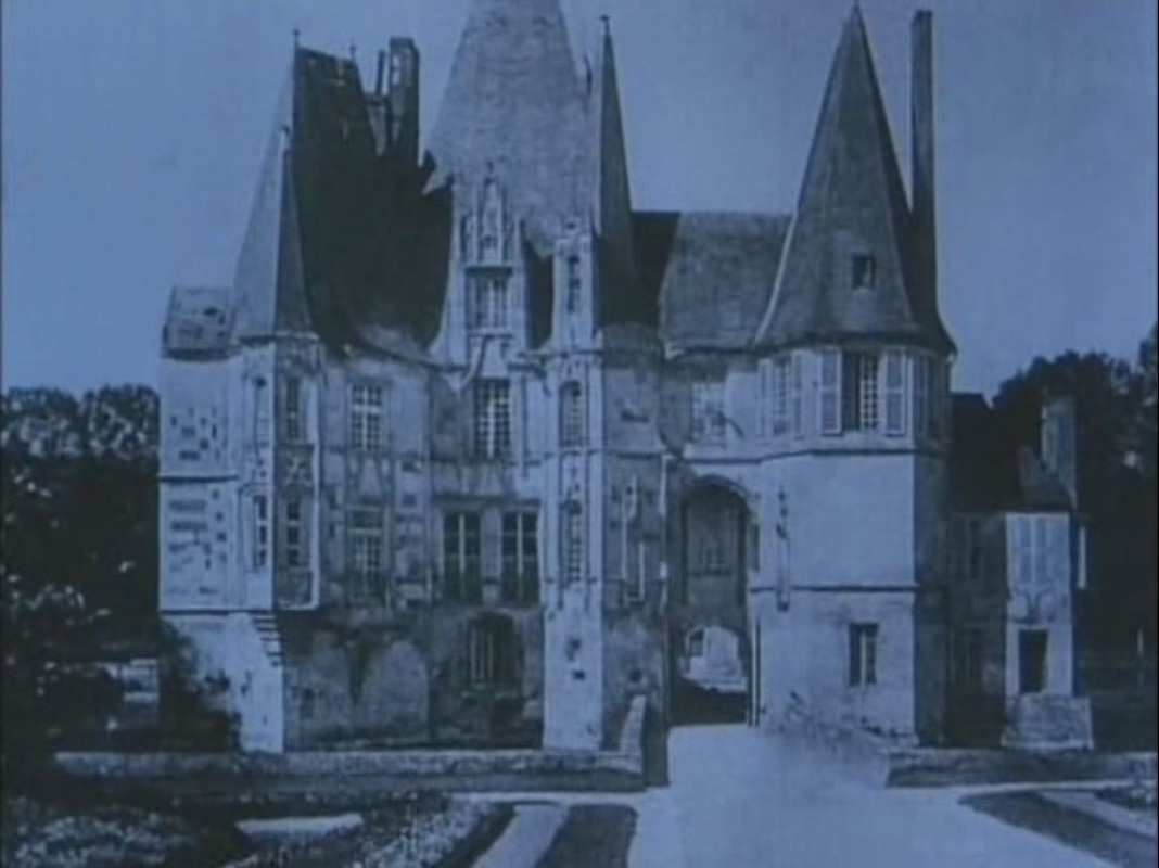 copyright: 'La Proie de l'ombre', René Clair – 1927, La Cinémathèque française
A different ocean, the Pacific, at the line between North and South. And the two other maps in the film. 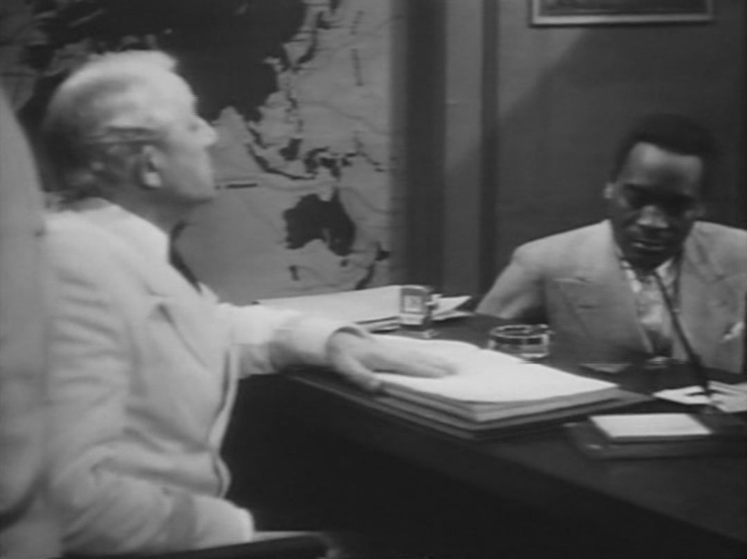
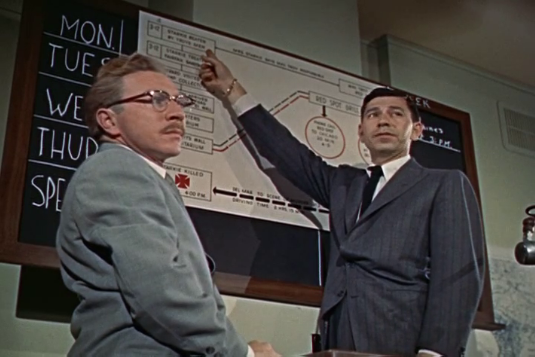
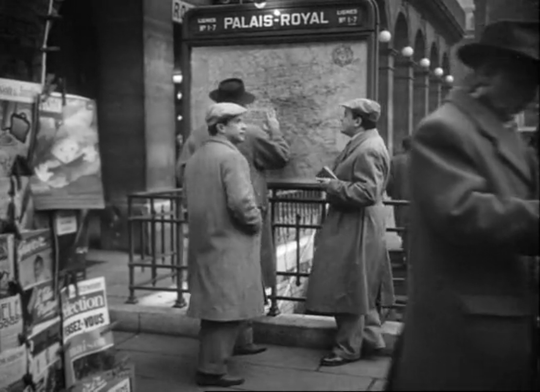
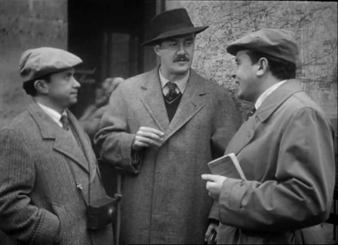
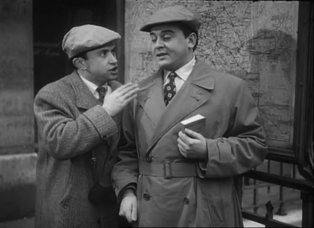
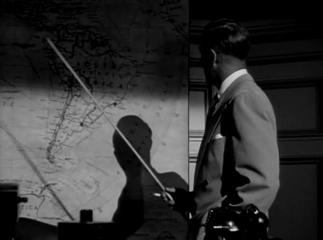
One of my favourite pointing-at-a-map shots, to celebrate 250 Daily Maps.
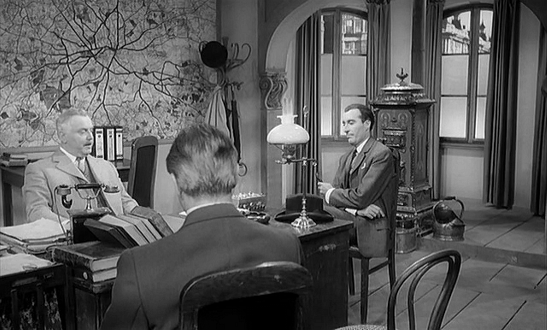
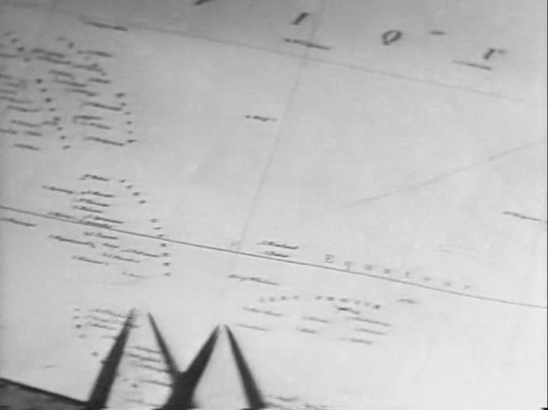
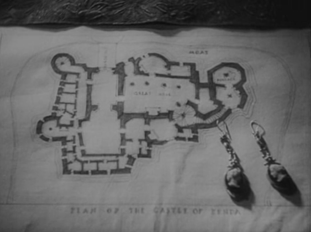 The 1952 Prisoner of Zenda (see here) is a sequence-for-sequence, almost a shot-for-shot, remake of the 1937 version, using the same shooting script. Some of the slight differences between the versions concern the use of maps. For example, the earlier film's opening has the written prologue superimposed on a map, followed by the map alone, then comes a train; the later version shows the written prologue on its own, followed by a superimposition of map and train: 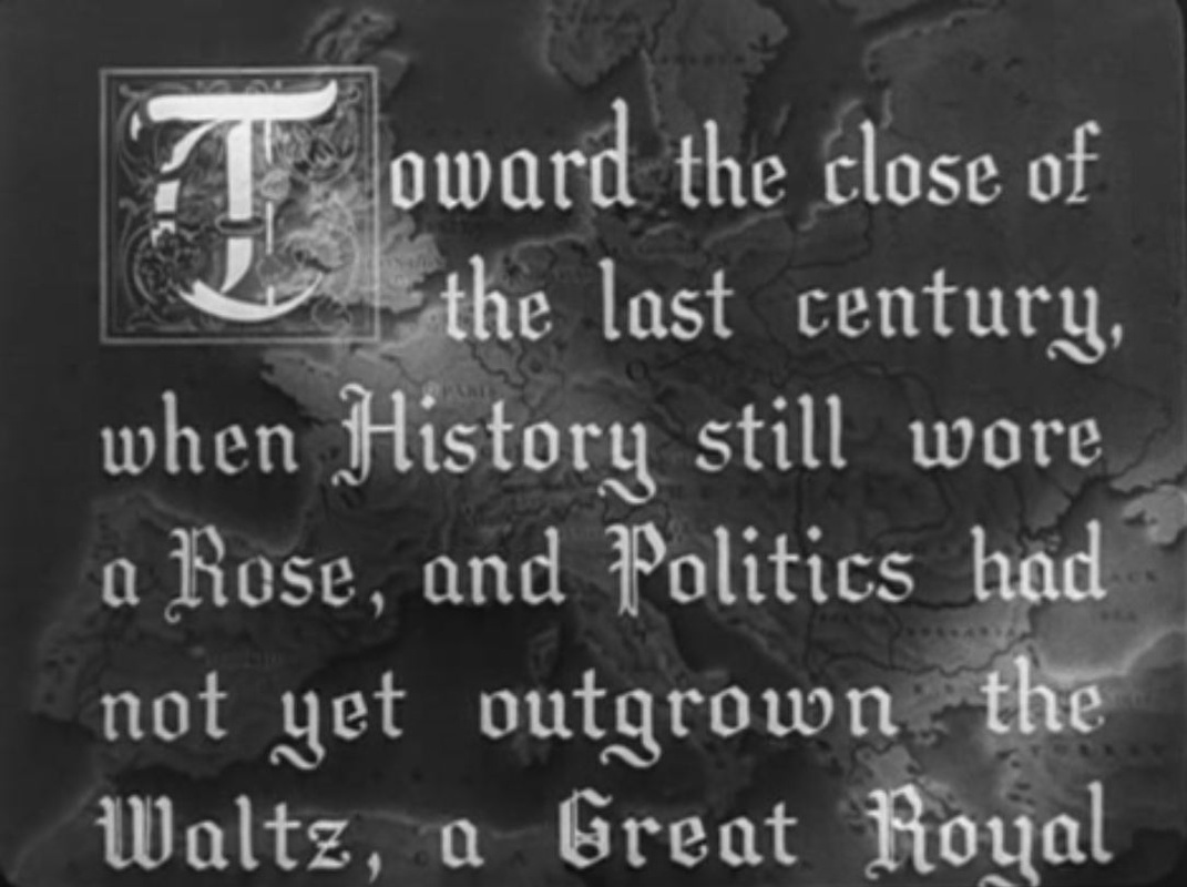 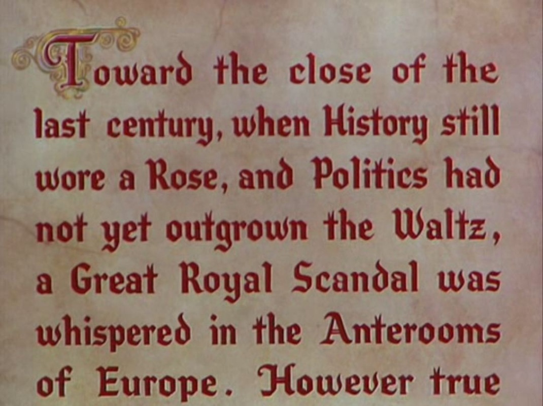 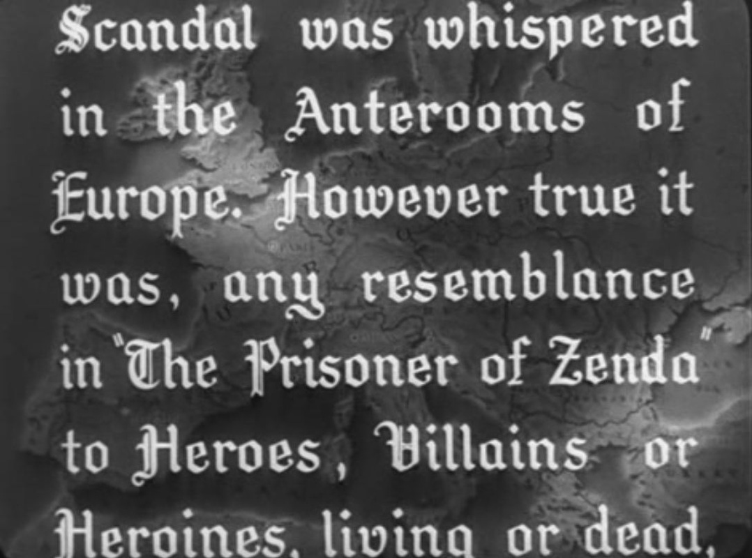 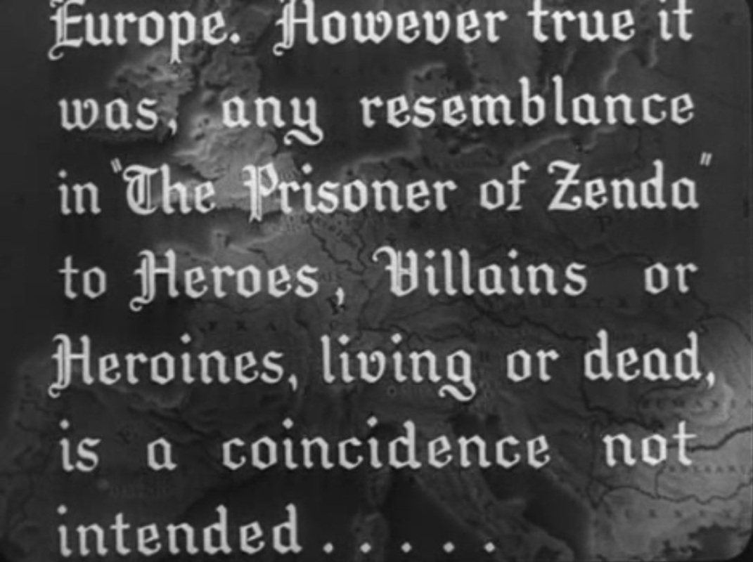 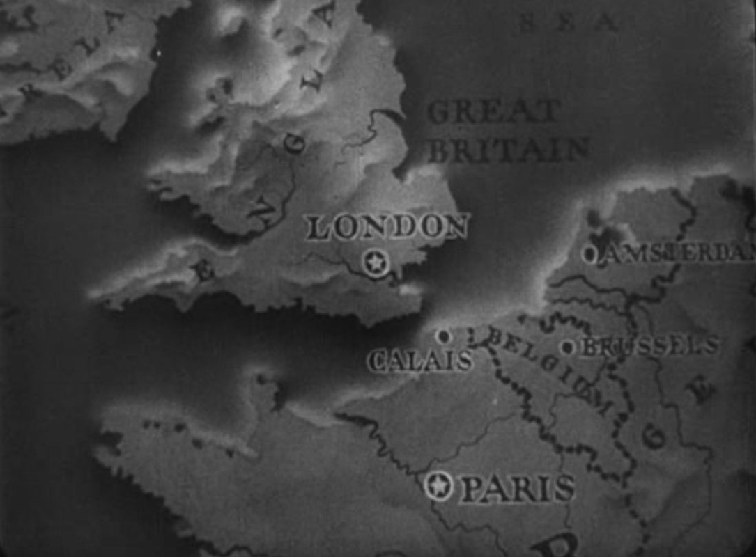 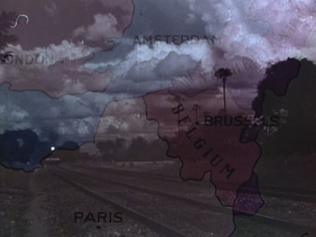 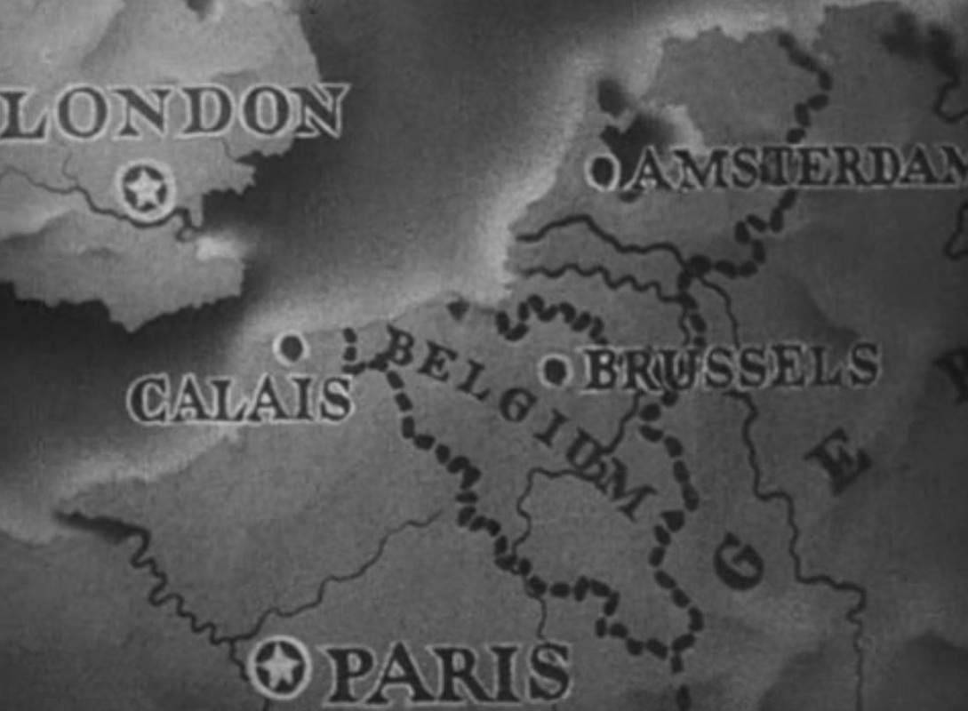  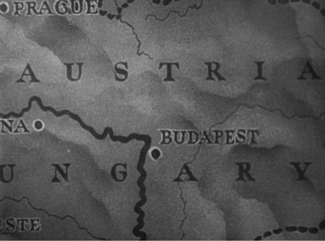 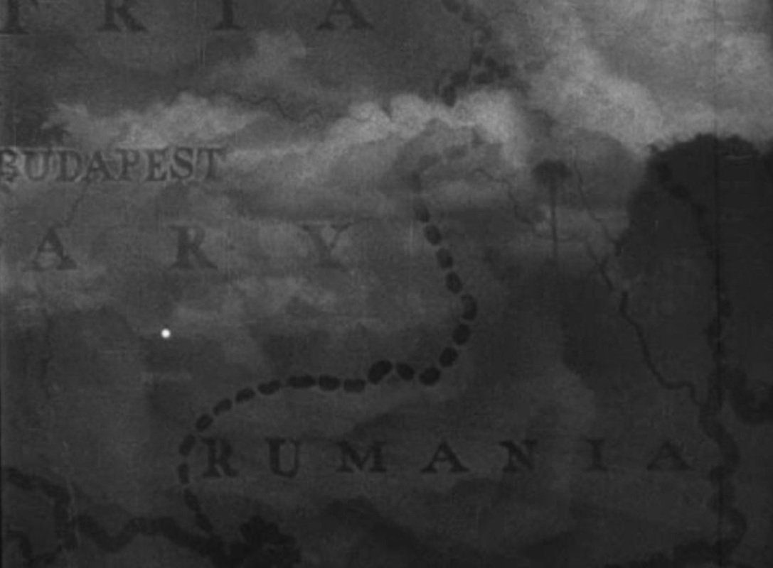 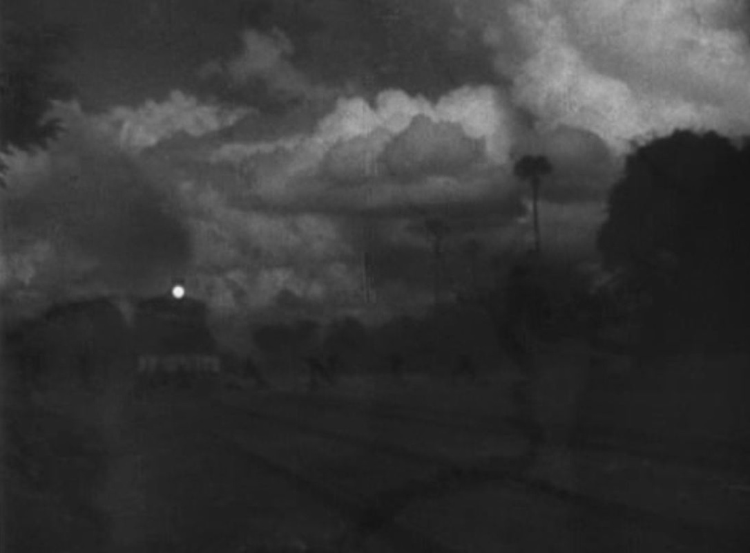 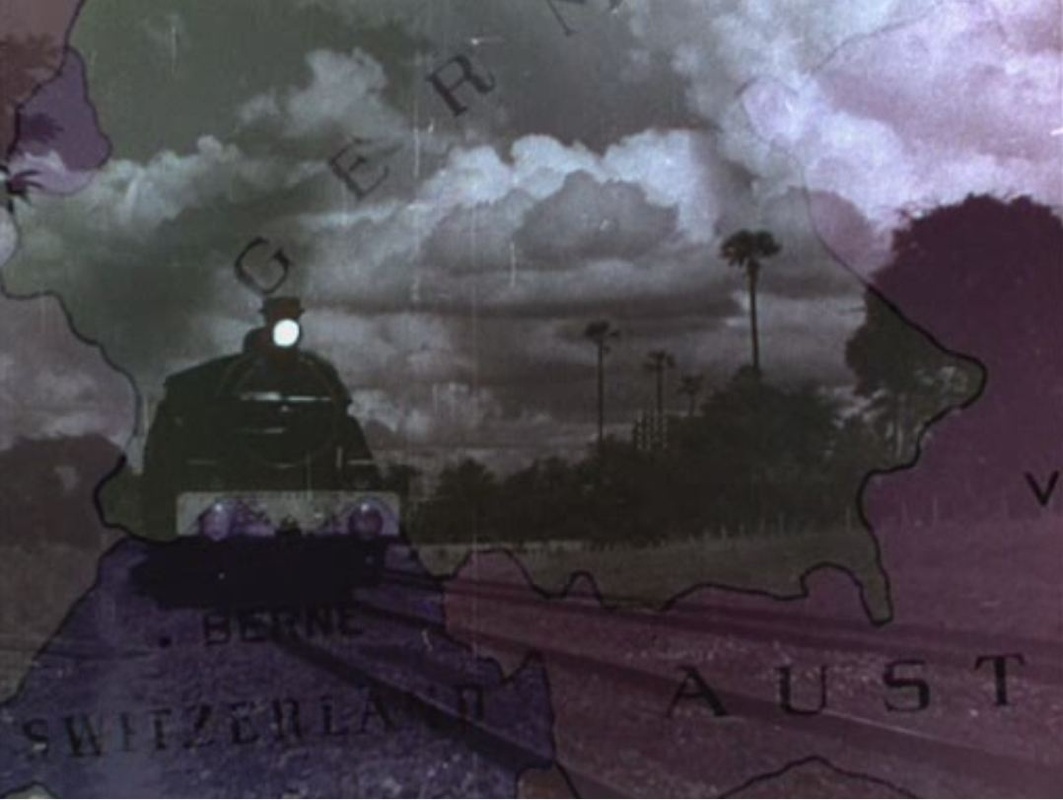 The 1952 version actually borrows the footage of the train from the earlier film. This superimposition is both intertextual, acknowledging the pretext, and intermedial, laying colour film over black-and-white. (Incidentally, there are no maps in Richard Quine's 1979 version of The Prisoner of Zenda, made from a new script,so the intertextual chain stops at this post.) 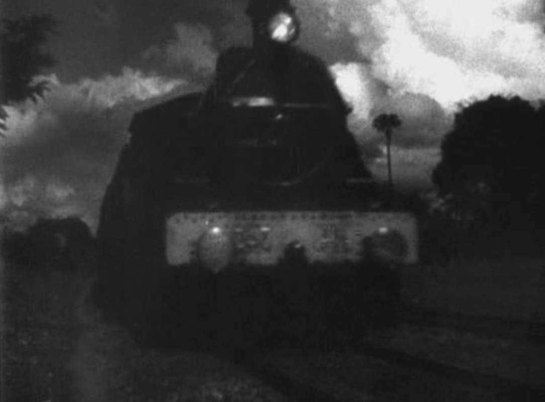 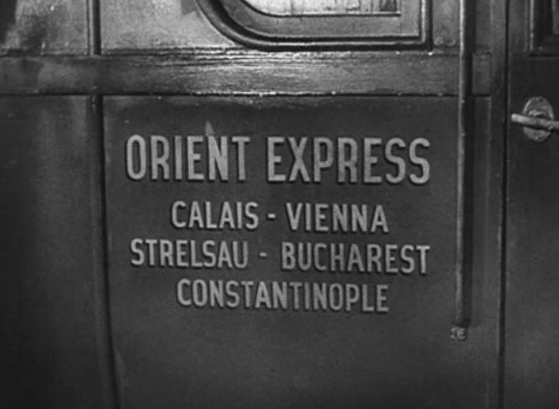  In Duke Michael's room there is an astrolabe rather than the globe we see in the later film: 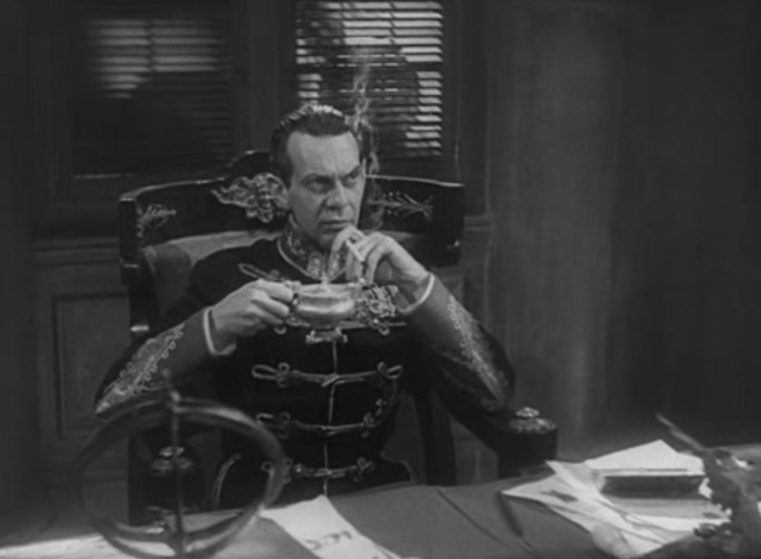  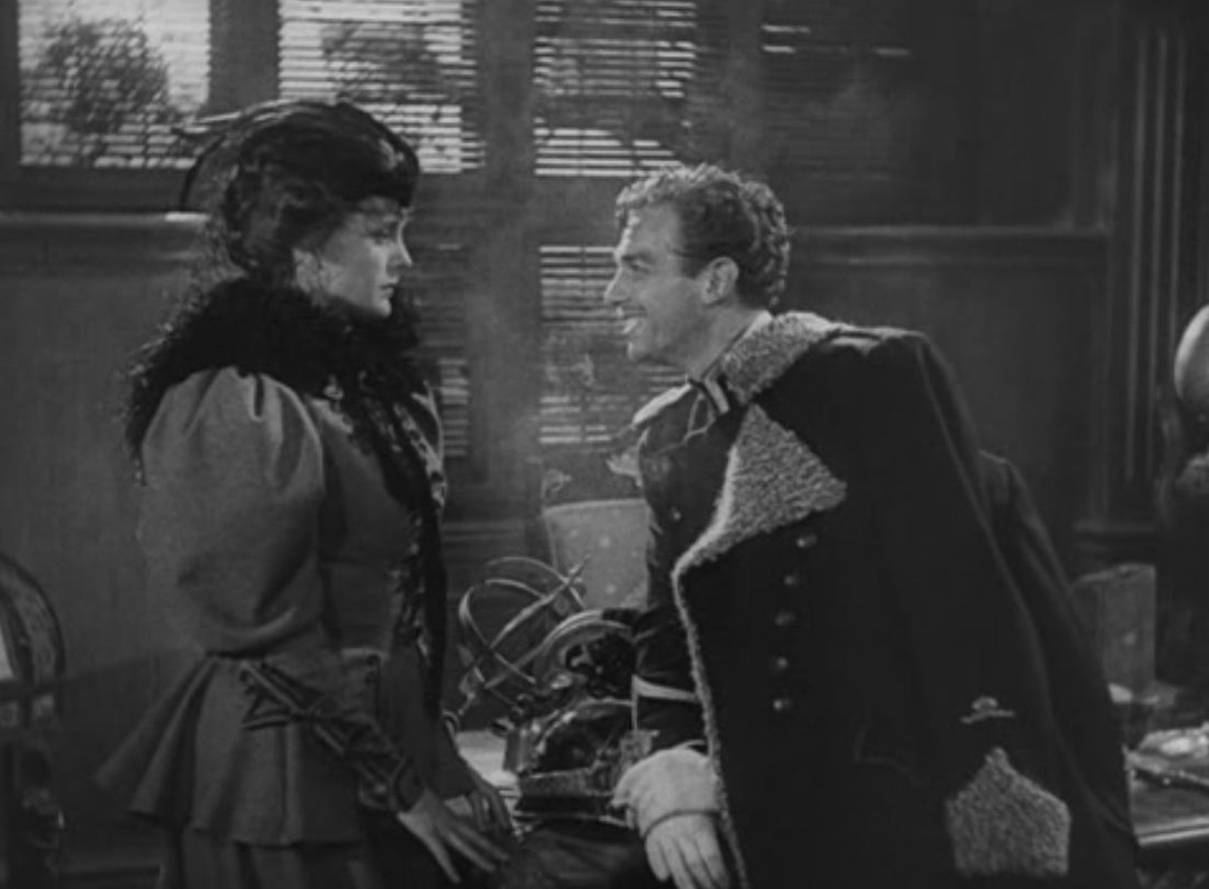  In both films there is the same sequence where the rescue from Zenda is planned, though the maps are not of the same castle: 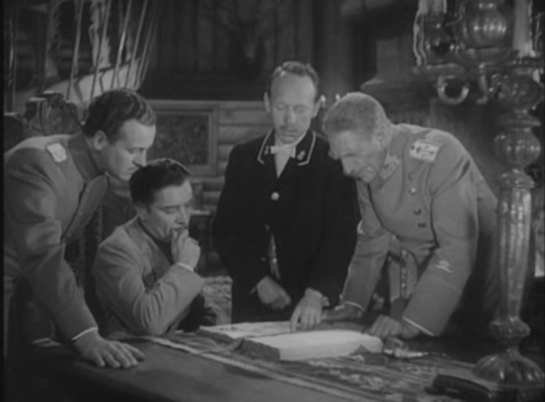 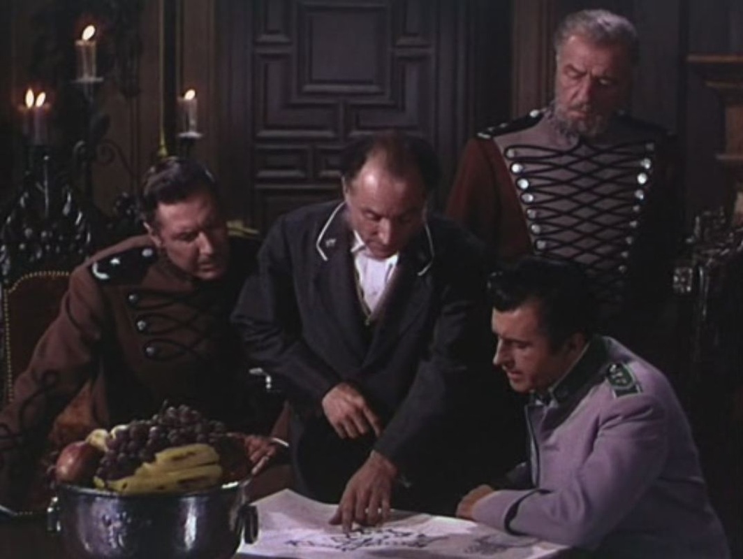 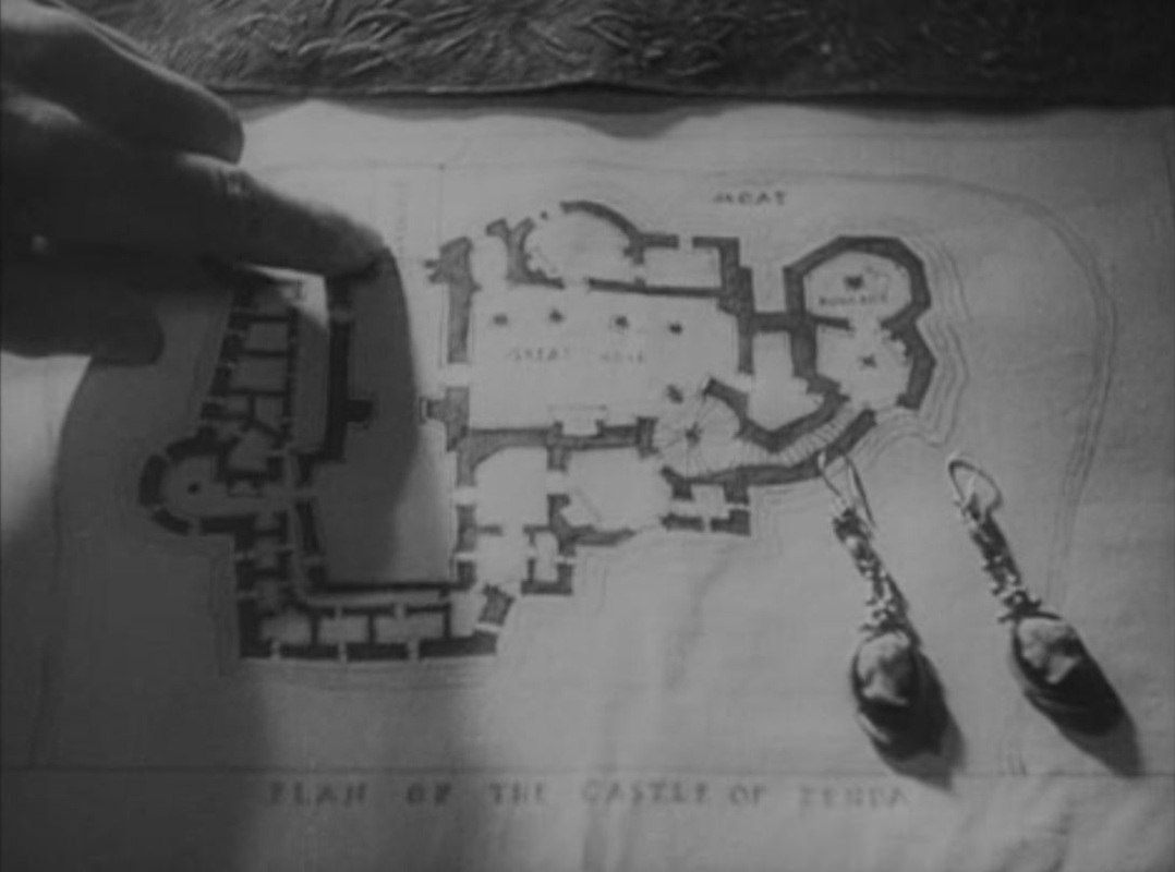   After a written prologue the film opens with a map superimposed on an advancing train, the Orient Express, heading East. This movement across Europe suggests the general vicinity of Ruritania, without having to show the fictional country on the map: 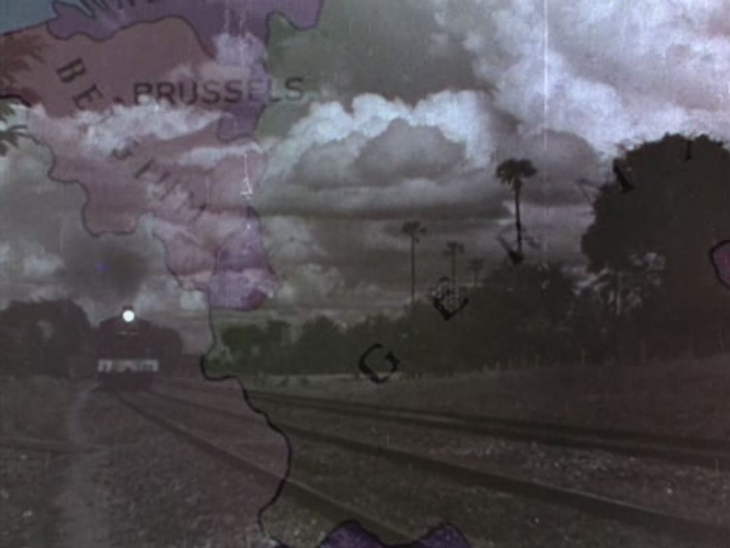 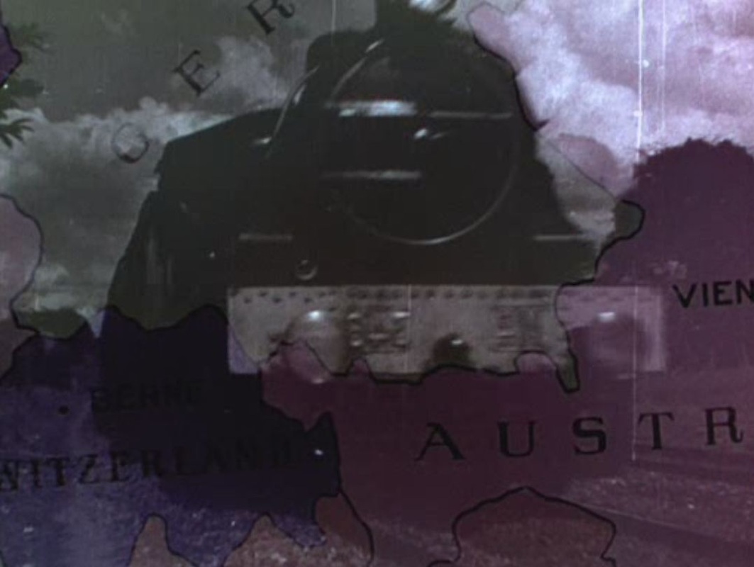 According to the panel on the train, Strelsau, the capital of Ruritania, is somewhere between Vienna and Bucharest: 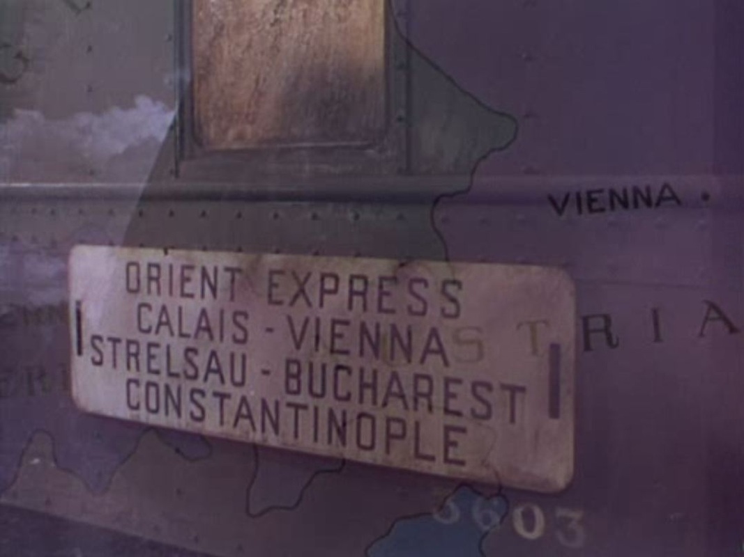 A globe serves as a real-world counterpoint to the fanciful place names that identify these protagonists - Antoinette de Mauban, Michael Duke of Strelsau and Rupert of Hentzau: 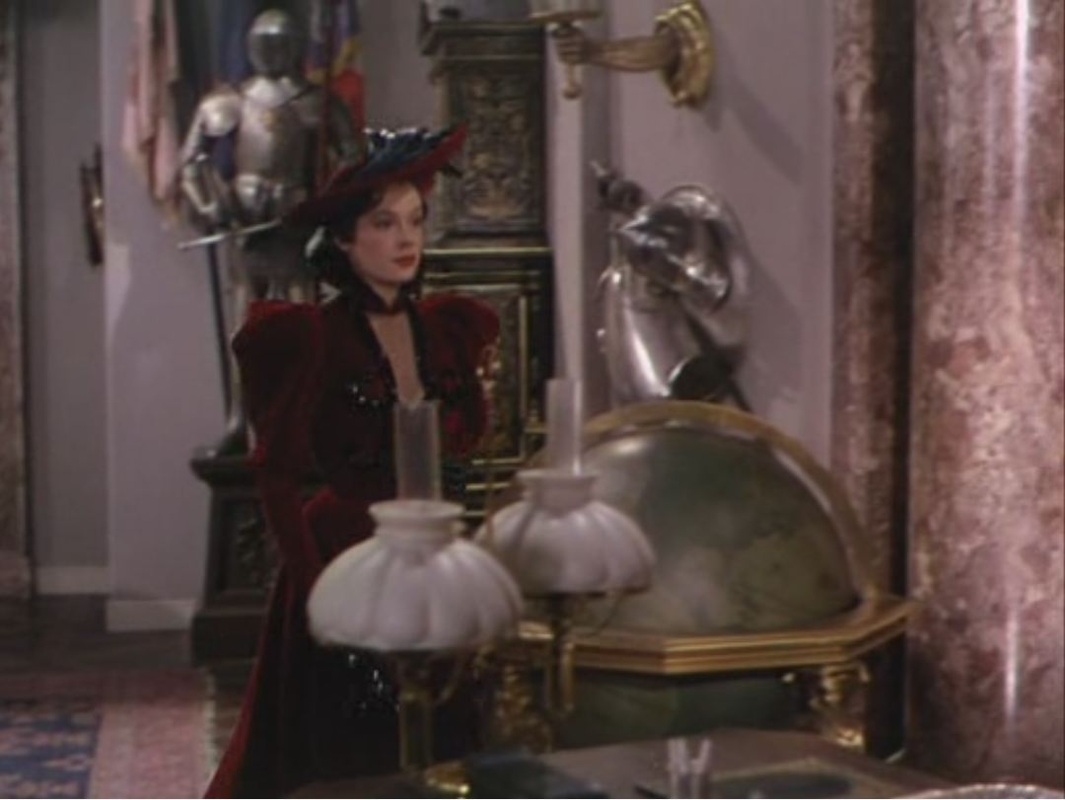 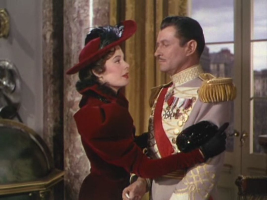  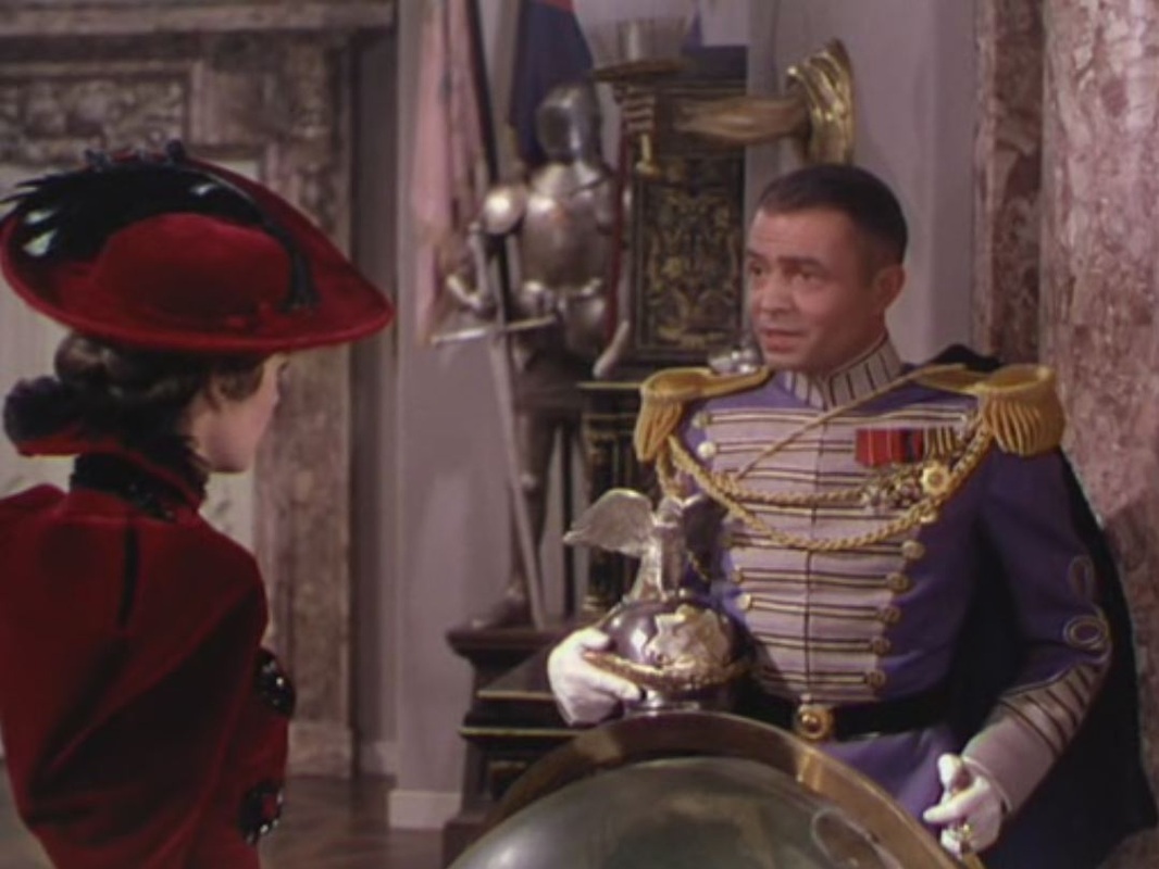 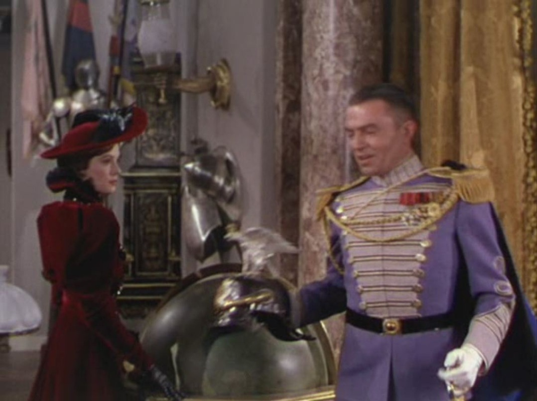 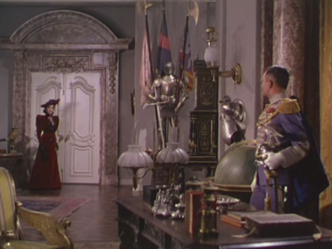 The film's last map is entirely fictional, a plan of the castle of Zenda from which the King must be rescued: 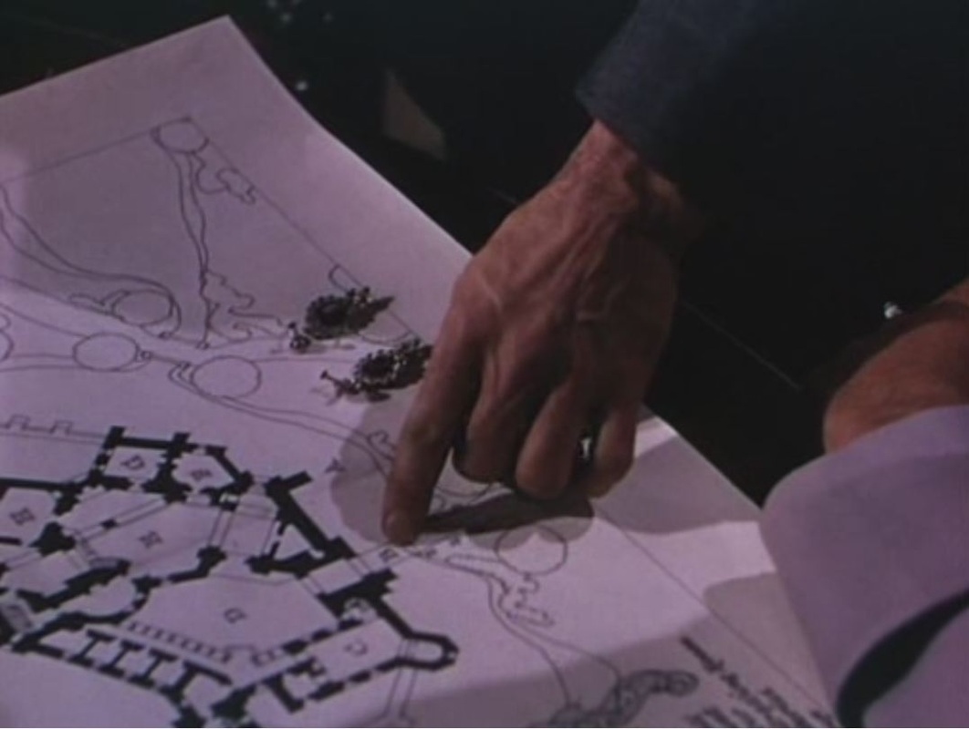 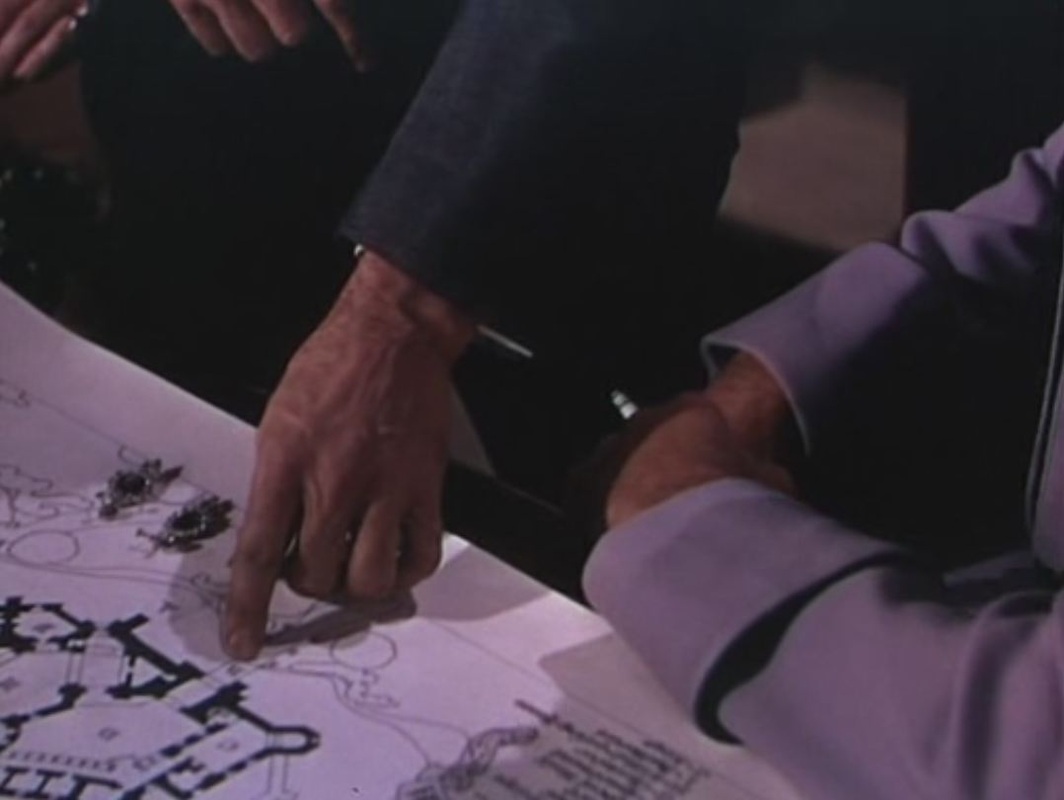  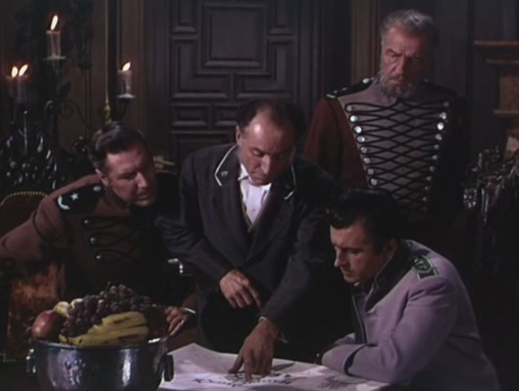  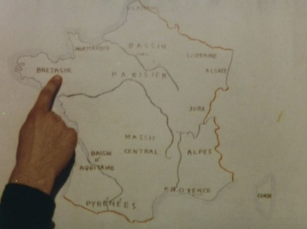 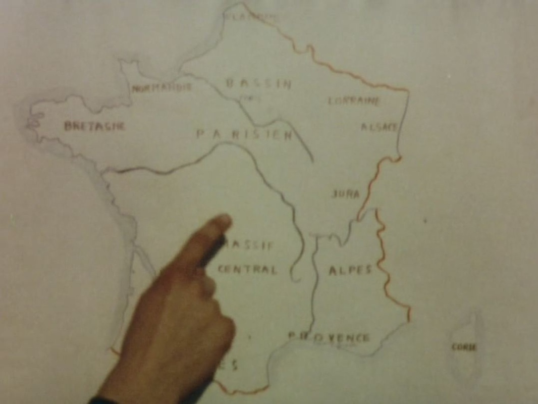 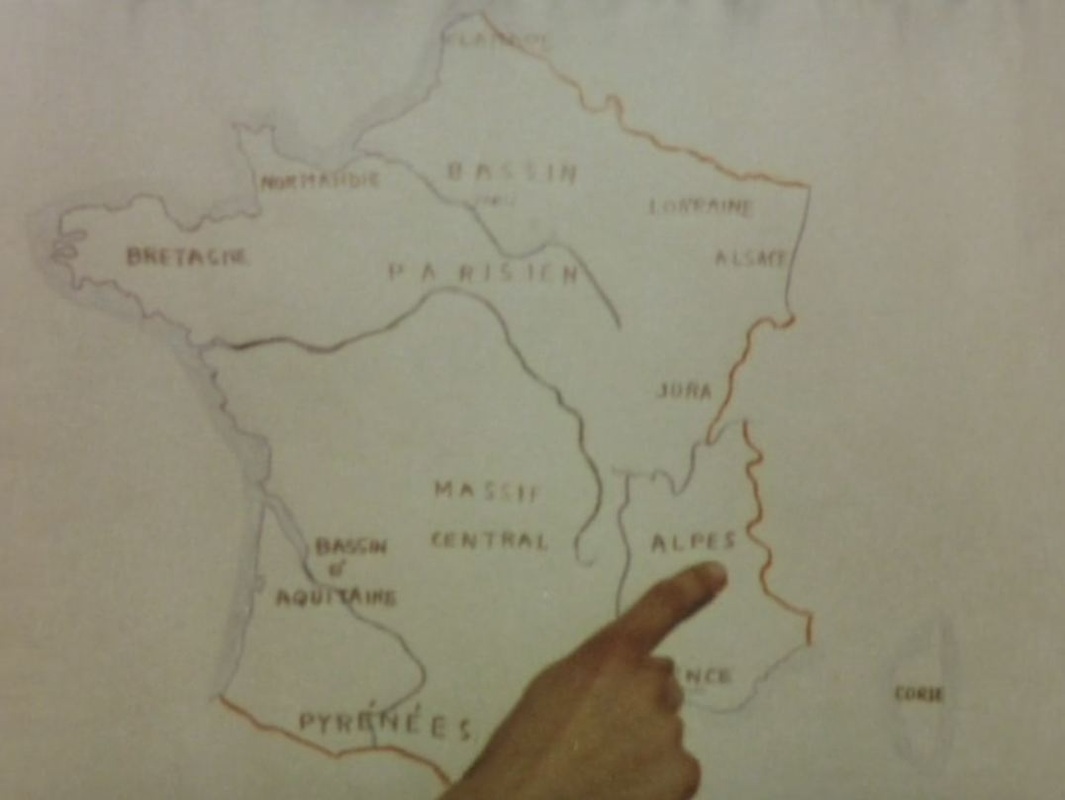 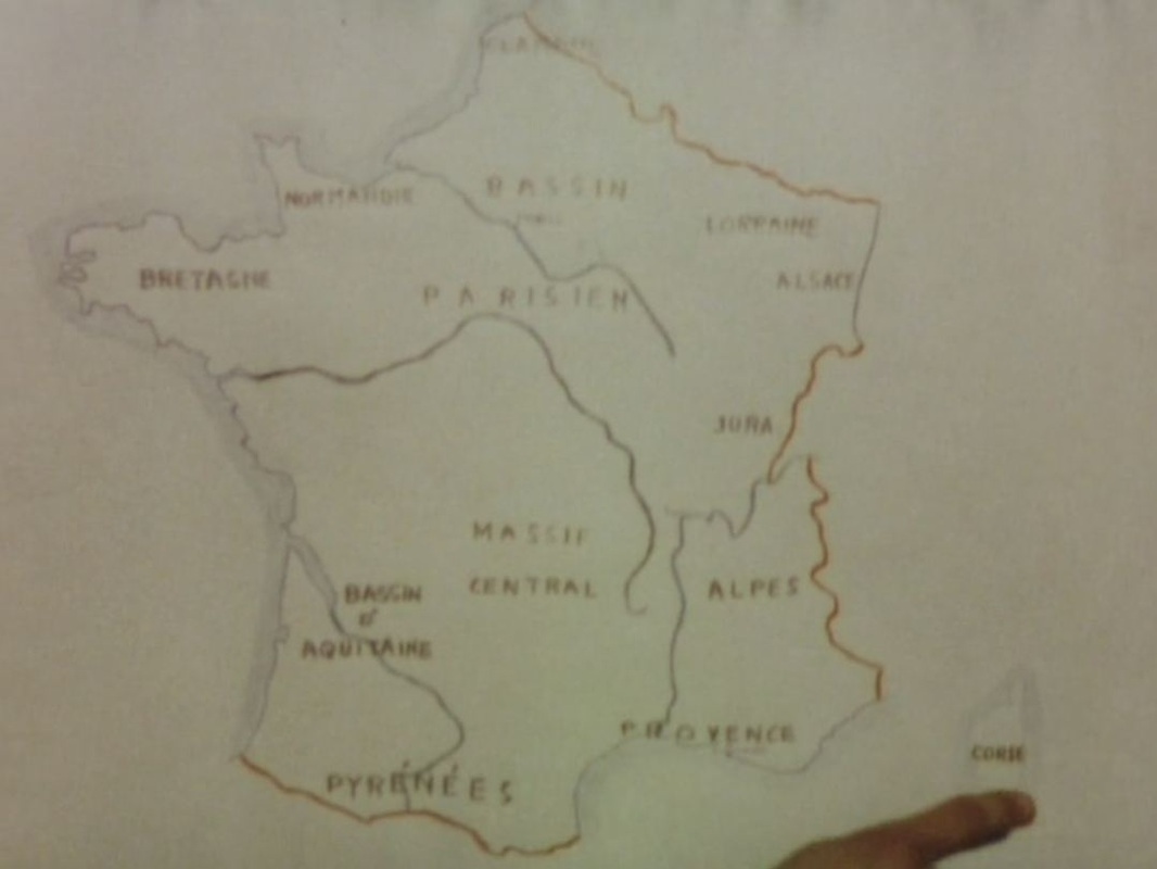 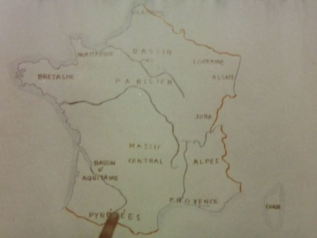 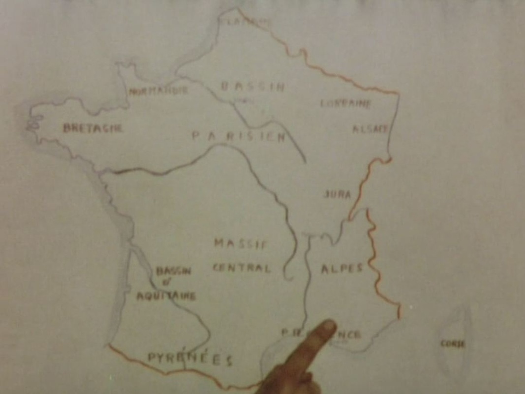 After pointing to relevant locales on the map of France, Moullet's New Wave documentary (reflexive, intertextual, montage-driven, jumpcutting) about abandoned or near-abandoned villages uses regional maps to fix exactly the places filmed, and to illustrate movement from one place to another:      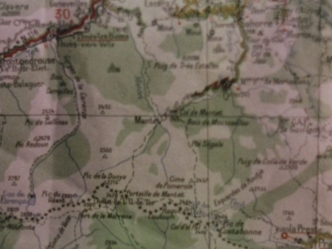   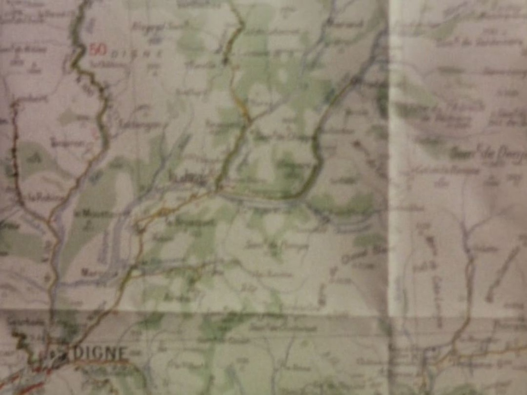  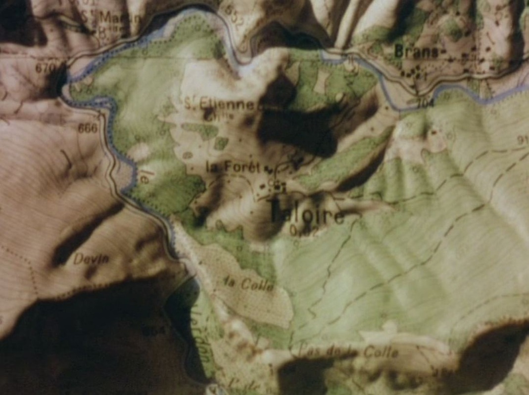 Two maps in the mise-en-scène, in schoolrooms, serve as counterpoint to the maps in the montage: 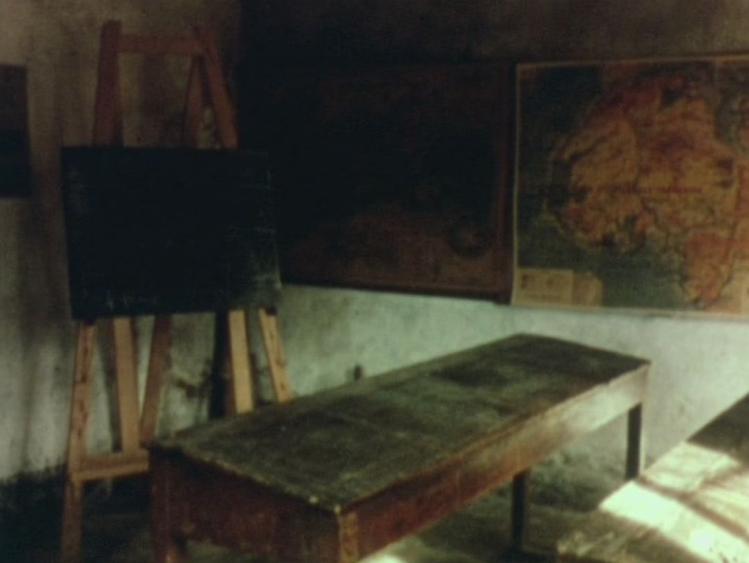 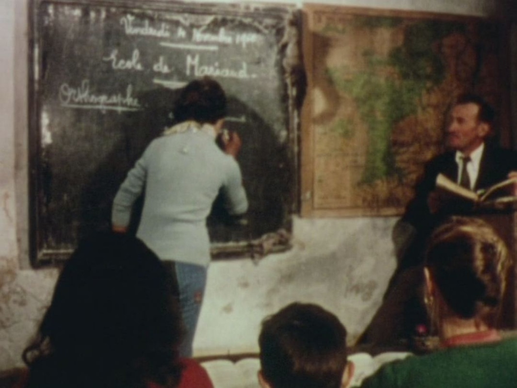 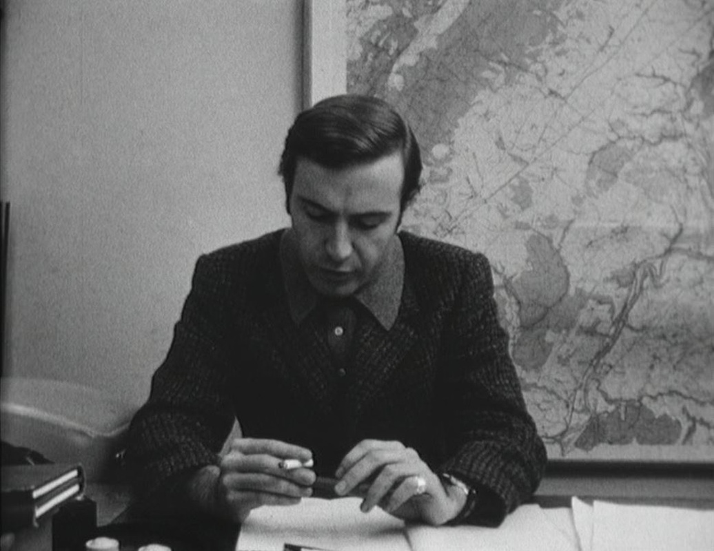 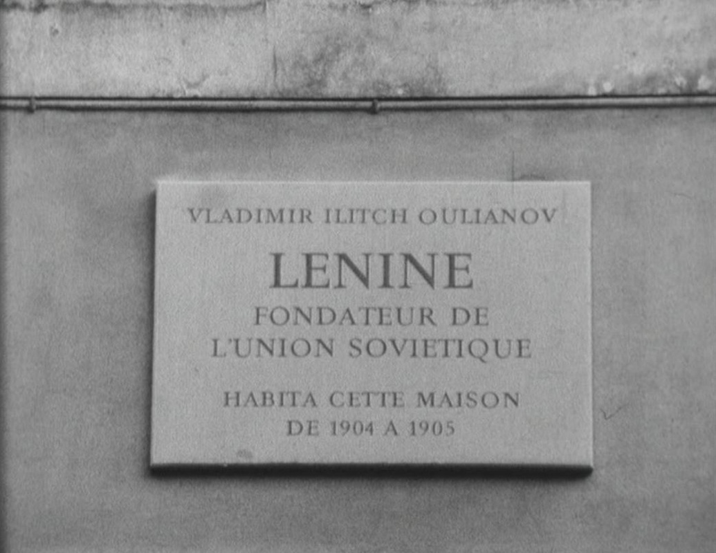 Among the several modes of representation at work in Soutter's third film, the opposition documentary/fiction is central. In front of a large regional map a journalist who is preparing a broadcast on Lenin's time in Geneva enumerates to camera his various addresses, and the film documents each of them. When the last of these, 61 rue des Maraîchers, is shown, a woman with a suitcase walks into the building, initiating the fiction: 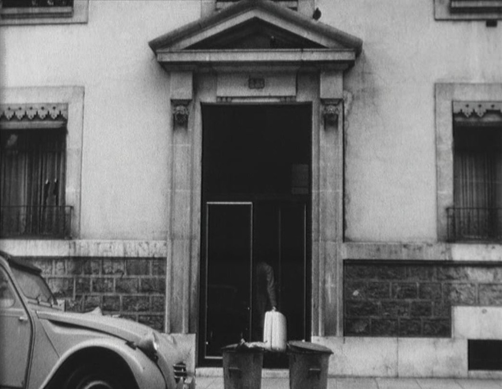 Later we see the journalist's office as part of the fictional world (the camera angle has changed), as the scene of a discussion between the journalist and a work colleague:    The work colleague is the former boyfriend of the woman with the suitcase. We see him tracing on a map his way to the building she had arrived at. Immediately afterwards, the journalist plots on the same map some locations associated with Lenin, including that apartment building: 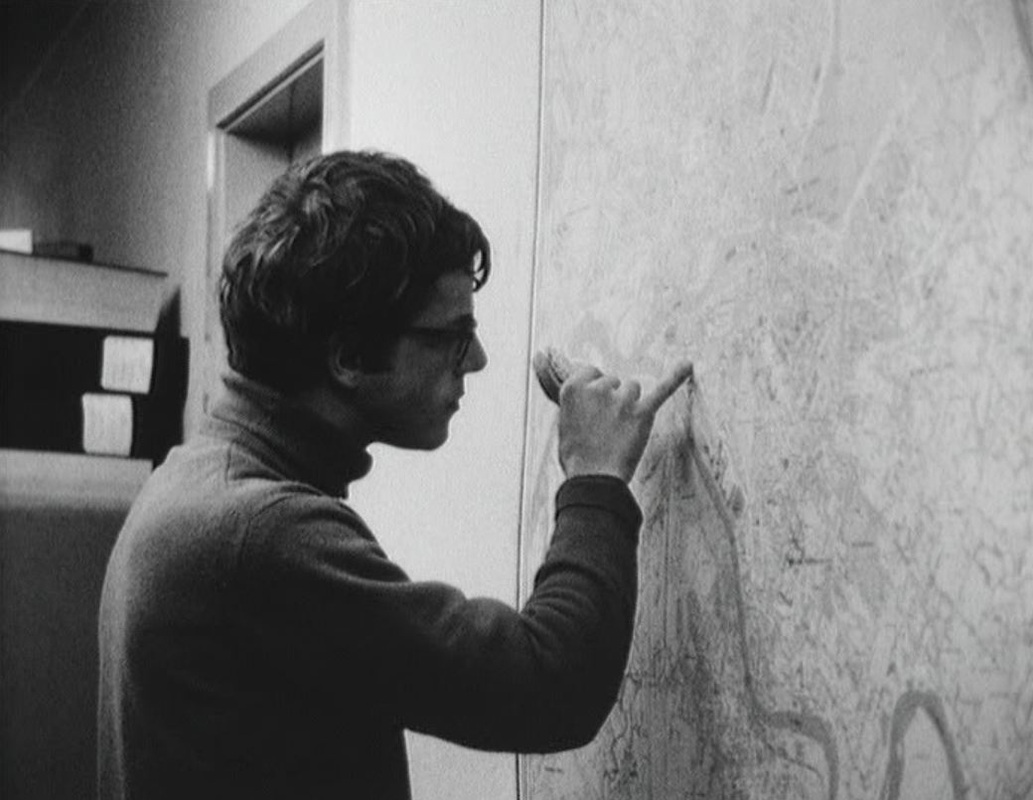 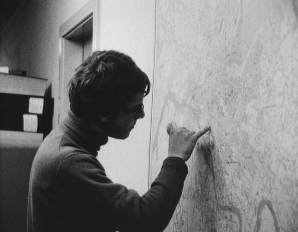 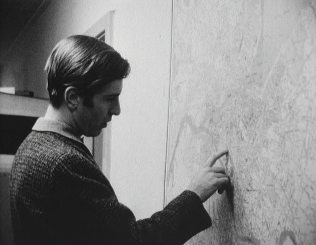 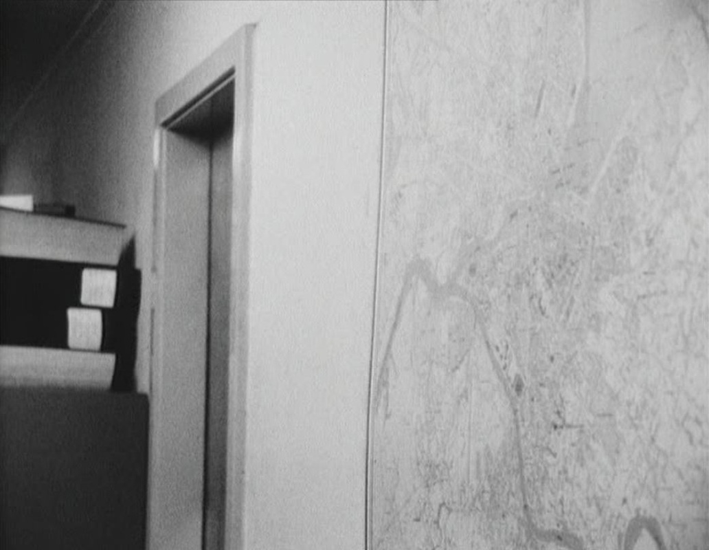 With the eventual implication of the journalist in the fiction around the woman, the documenting of Lenin's years in Geneva is abandoned. Rather, the film ends on alternative fictional modes - song and slapstick:  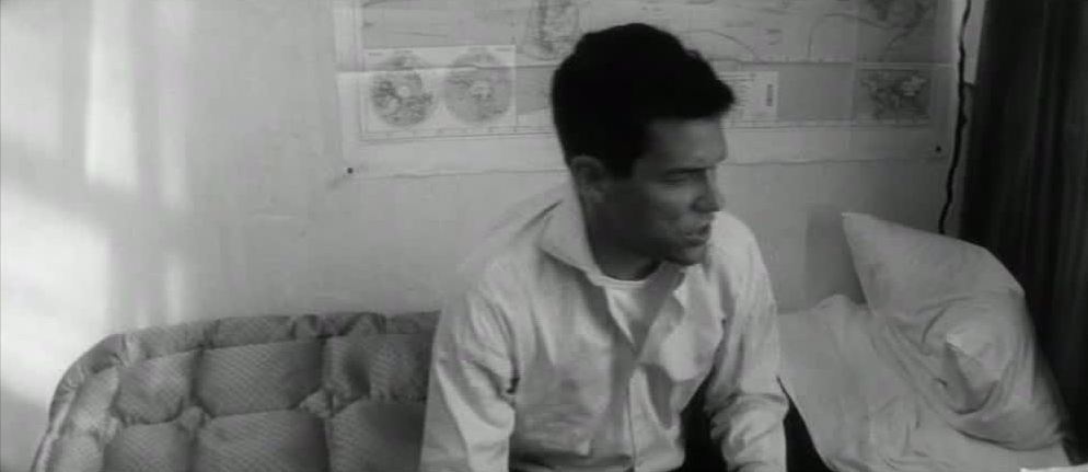 The story of Lola is little more than that of the preparations made by its male protagonist, Roland, to leave Nantes. This story is framed by the return to Nantes of Michel, father of Lola’s child. He has been seven years on a South Pacific island, Matareva, as if he has arrived in Demy’s film from Mark Robson’s 1953 Return to Paradise (which Roland goes to see at a cinema in Nantes in the course of the film). Michel’s arrival is the counterweight to the departure not only of Roland but also of the little Cécile (who has run off to Cherbourg), of Frankie and the other sailors, heading back via Cherbourg to the U.S., and of Lola and her son, who are leaving for Marseille. Of all these only Roland is associated with maps. He passes a map of France as he leaves his place of work, after having been fired. In his room he studies closely a map of the ‘Five Parts of the World’, and the man who offers him louche employment as a courrier (flying from Amsterdam to South Africa) explains the itinerary by pointing to a map. 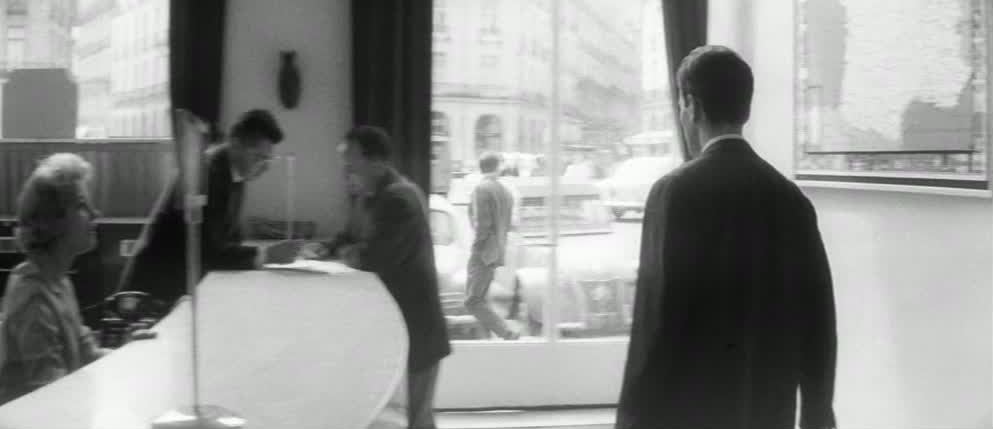 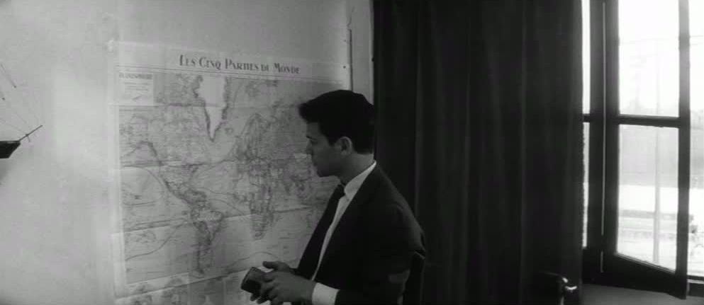 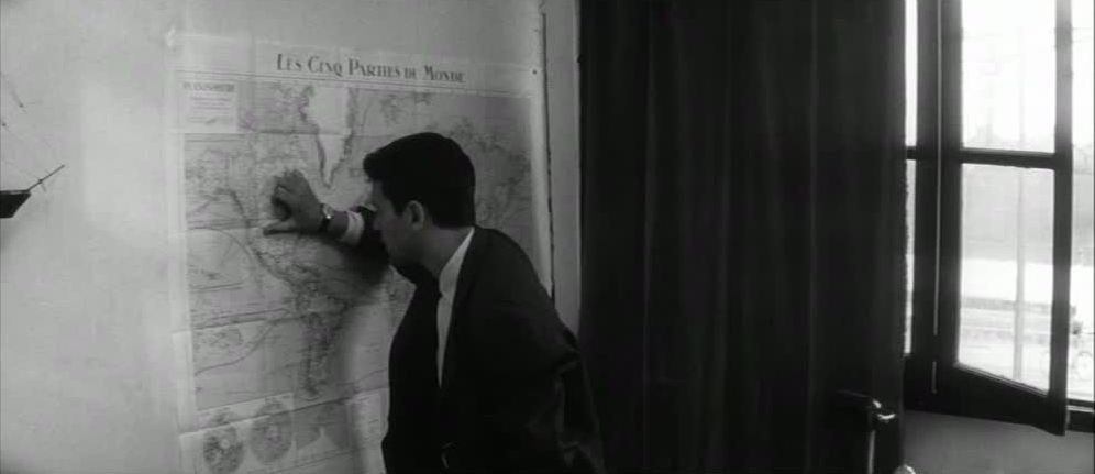 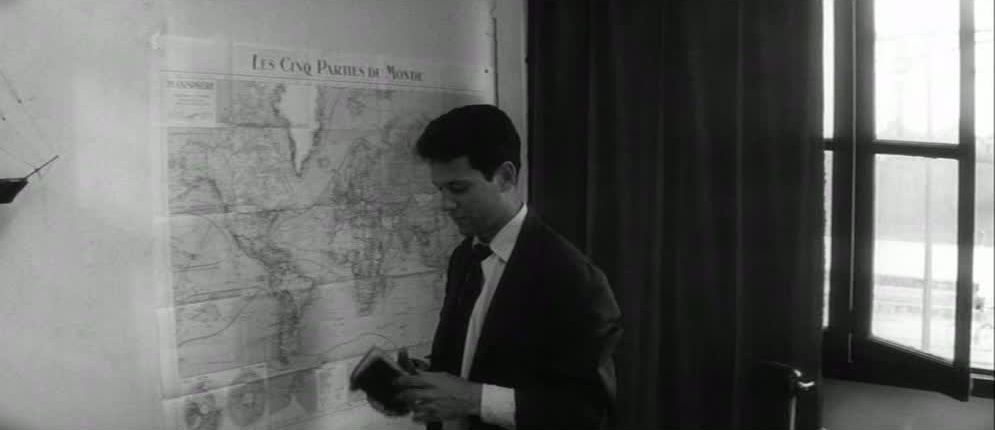  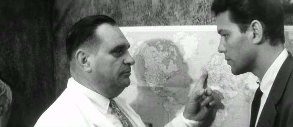 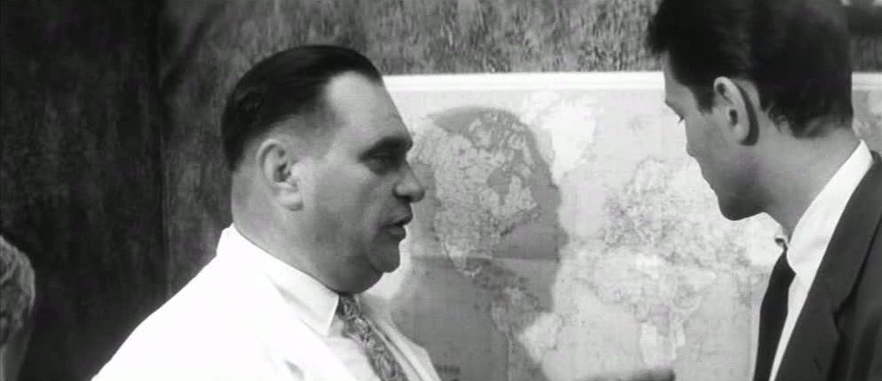 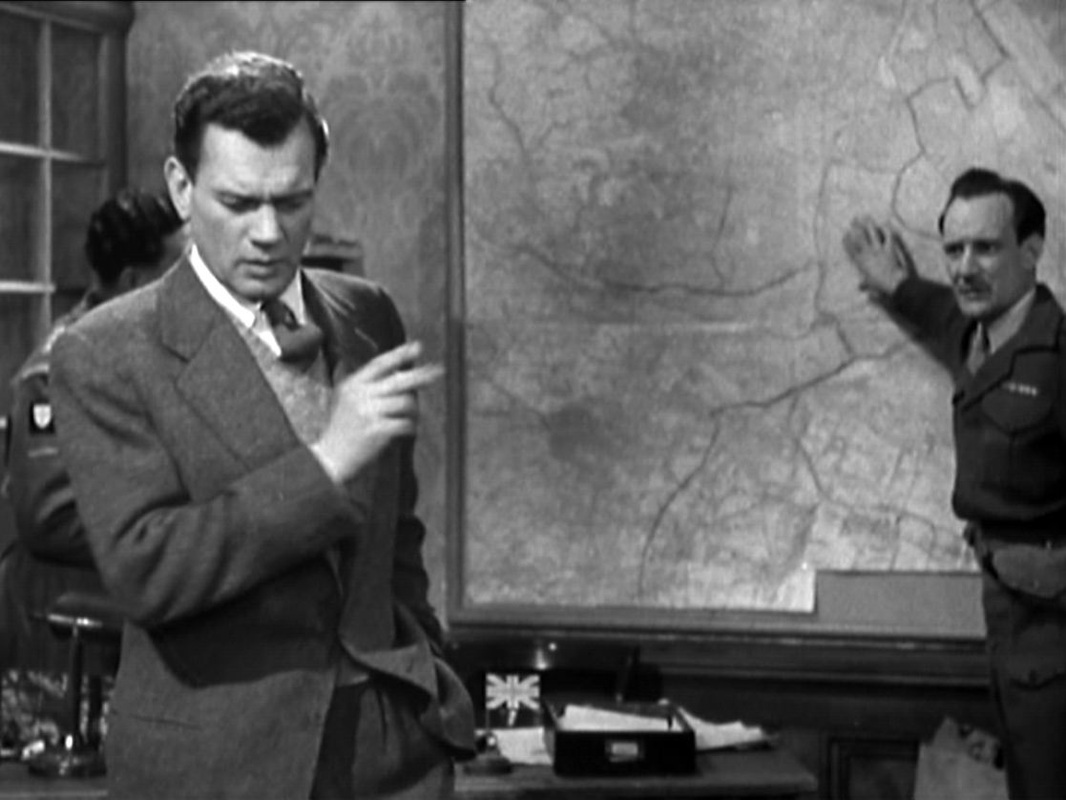
The film doesn't tend to use maps to speak of the city's division into zones, though here Major Calloway is pointing to the International Zone as a possible meeting place with Harry Lime. The broad lines marking out the divisions of the city on this map are a recurrent backdrop to encounters in this room, even when the lighting shifts into noir mode: 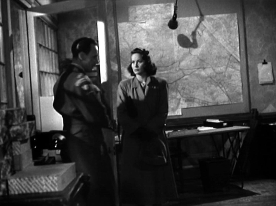
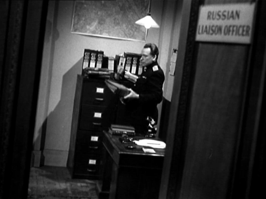
There are other maps in Major Calloway's office, and also in the Russian Liaison Officer's room across the corridor: 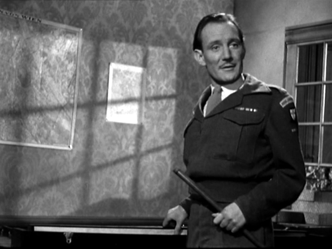
174/ The Seven Samurai (Akira Kurosawa 1954) & Un flic (Jean-Pierre Melville 1972): pointing28/9/2011  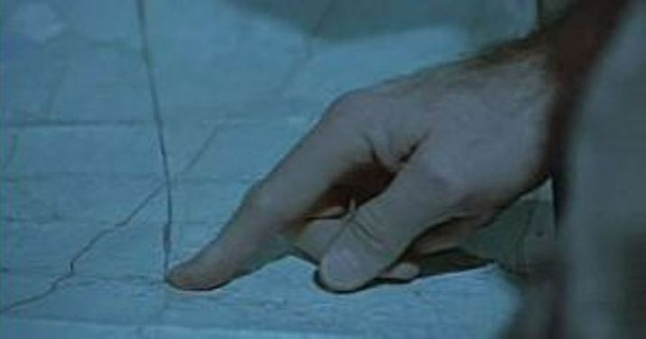 Two moments of pointing from the several map scenes collected by artist Thomas Klimowski, who has posted maps in films on his blog here, here and here. He also has a nice shot of a map of Paris from a terrible film with a wonderful title: Comment reussir quand on est con et pleurnichard ('How to succeed when you're an idiot and a crybaby') (Michel Audiard 1974):  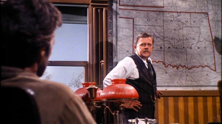 Judge Fenton: There you are. The Oklahoma and Indian Territory, year of our Lord 1889. Nineteen marshals. I was authorized sixty when I came here. I told the President even that wasn’t half enough. Nineteen marshals and one court, to cover near 70,000 square miles. A happy hunting ground filled with bushwhackers, horse thieves, whiskey peddlers, counterfeiters, hide peelers, marauders that’ll kill you for a hatband. Now, that’s why there’s a badge in my desk, Cooper. Itching to sit on somebody’s chest,and no takers. Cooper: Your marshals do cover a lot of territory. Judge Fenton: You’ll ride circuit over an area half again the size of Rhode Island. If and when it’s Marshal Cooper. (See here for a large collection of pre-1900 maps of Oklahoma and the Indian Territory, amongst which, regrettably, I have not found the map in this film.) 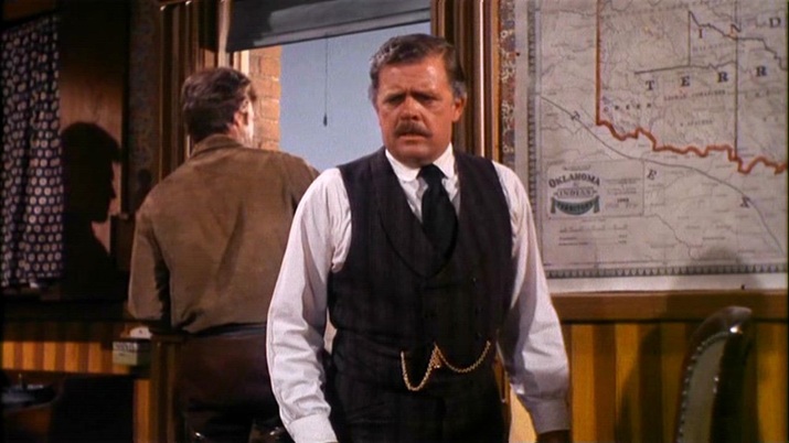 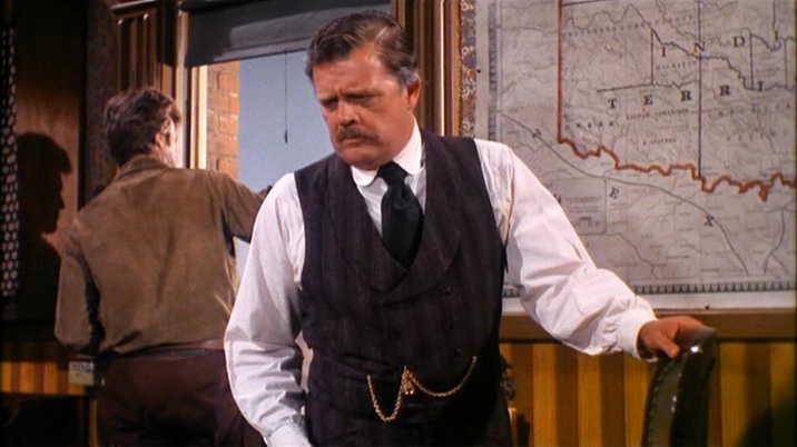 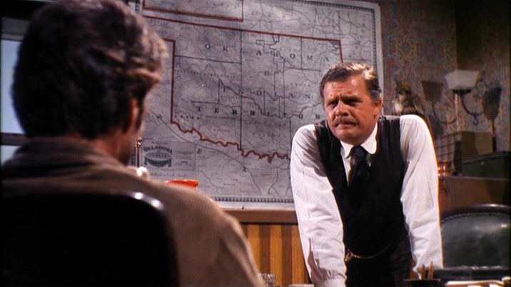 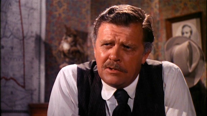 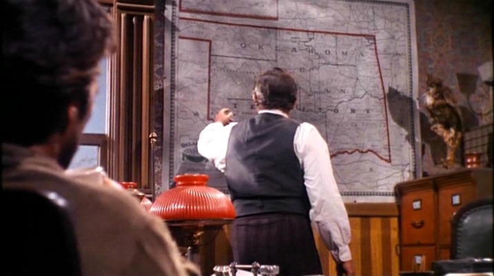 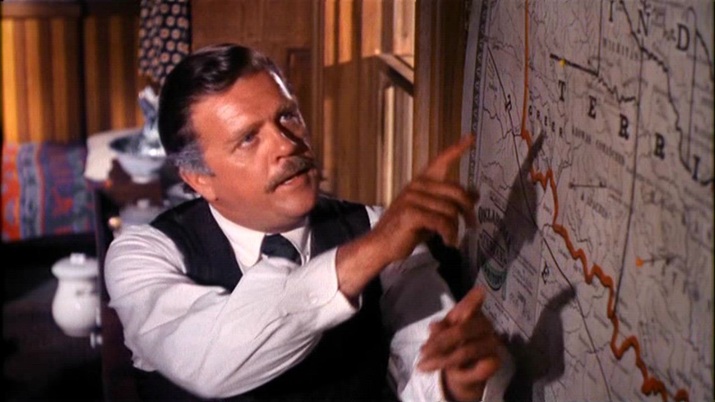 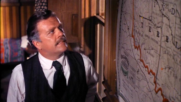 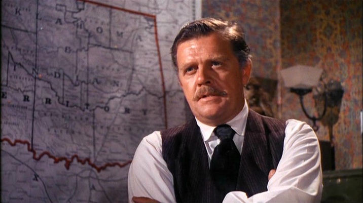 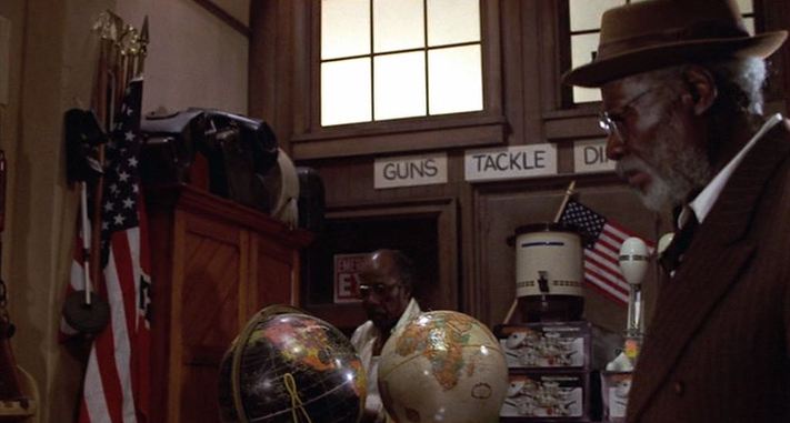 The two globes in this store are artfully positioned, not so much to signal black and white together - though that harmony is at the film's sentimental core - but rather to indicate the history of the blues, after the passage from Africa to the Americas. That history is the film's discursive core, and that the globe showing the Americas is black may be a riposte to any idea of Americanisation as a whitening. 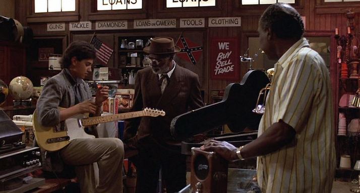 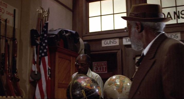 The quest in the film is to find a particular crossroads, and it might seem that its pursuit would require a map. Their guide, however, is not a map but a drawing: 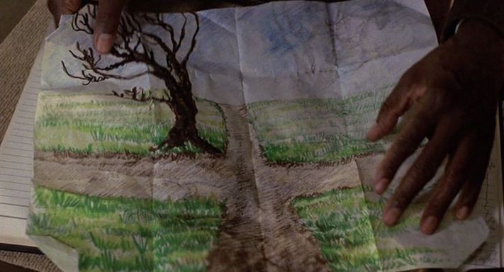  |