the places in Face, and a non-place
This post discusses the topography of Antonia Bird's 1997 London-set crime film Face under 5 headings:
maps - locational modes - sites of memory - topographical exactitude - non-places.


1/ maps and mapping
|
|
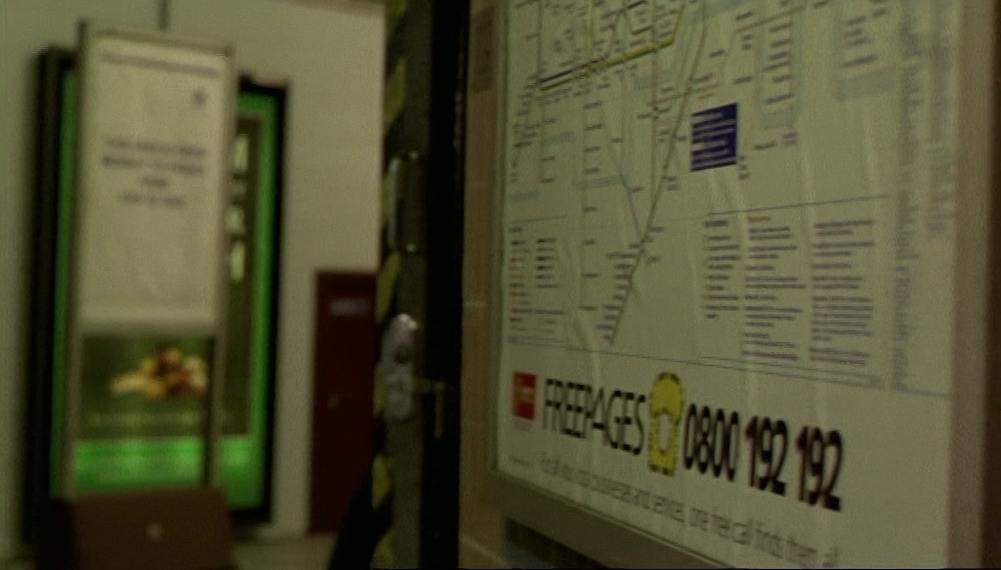
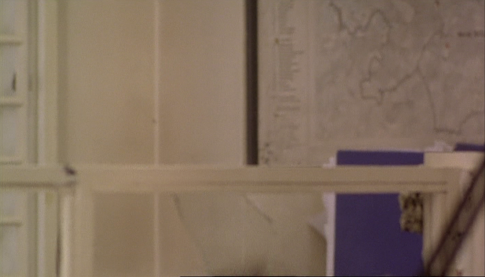
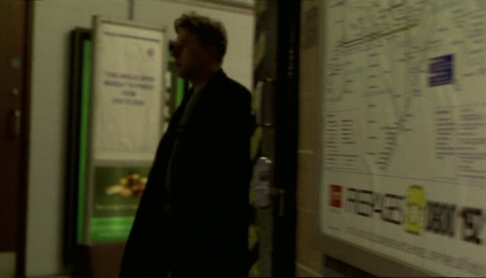
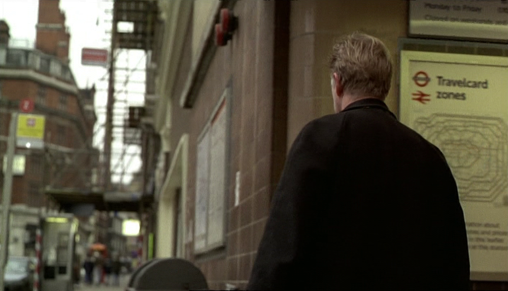
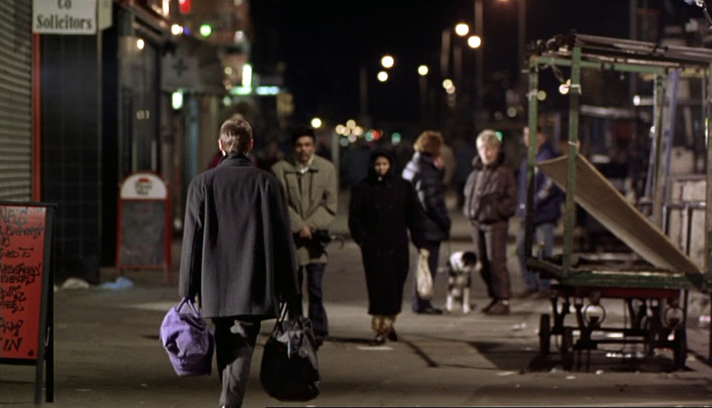
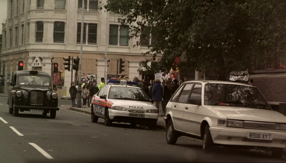
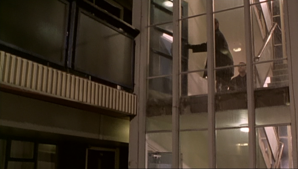
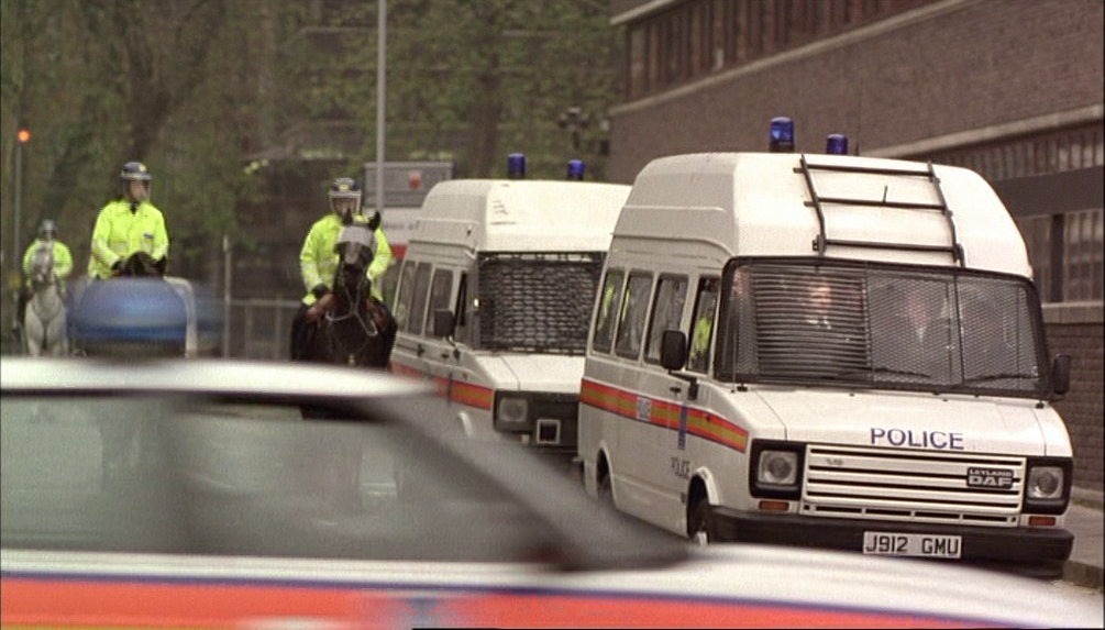
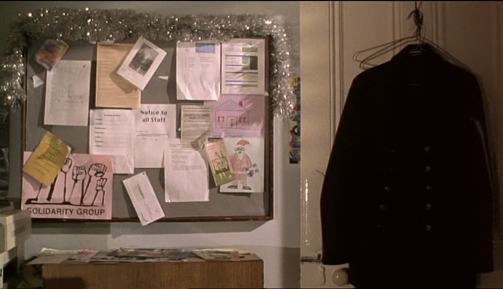
Despite the fact that 'map' is in some places slang for 'face', there aren't many maps in Face. Though the heist is carefully planned, no map of the operation is shown. We do see London transport maps at an entrance to Liverpool Street underground station, and a few London maps on the walls of a police station:


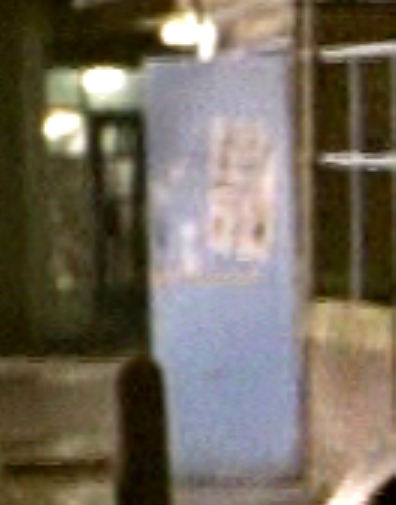
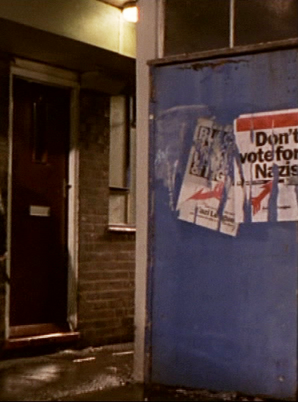
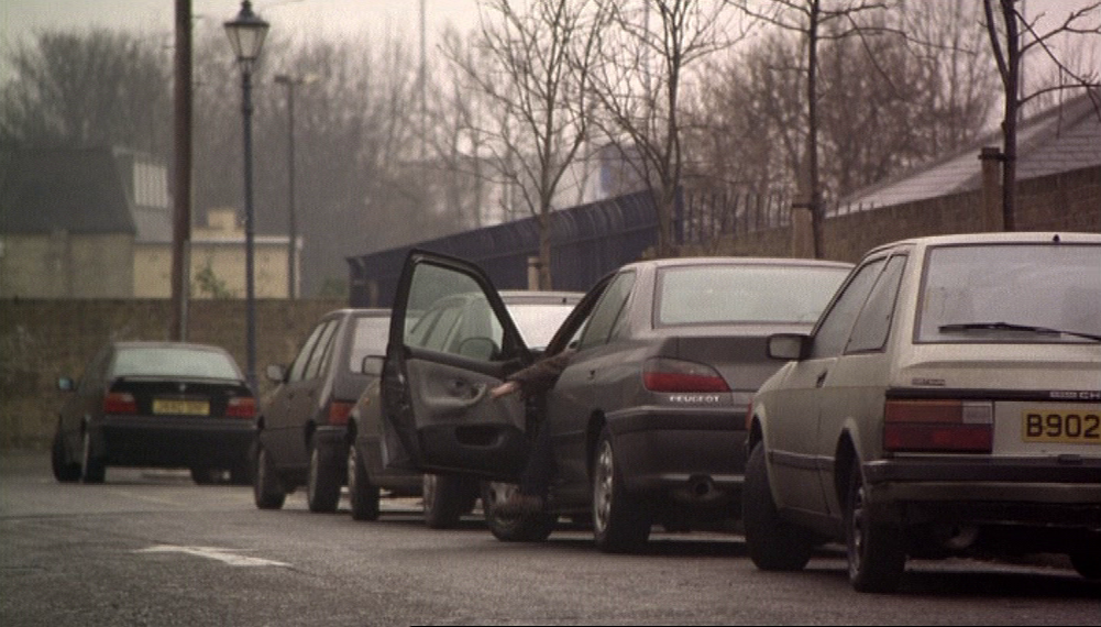
I had at first thought that the thing on the light blue door upper left of the image below was a map showing the layout of the housing estate where the scene was shot:
|
But after intense scrutiny I have concluded that it is just a poster or some sort, pasted to the door of the space where dustbins are kept, like the Anti-Nazi League posters on the blue door of the next bin area along.
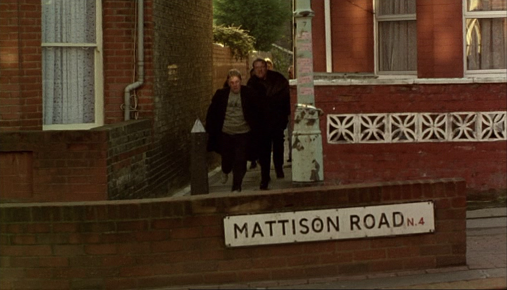
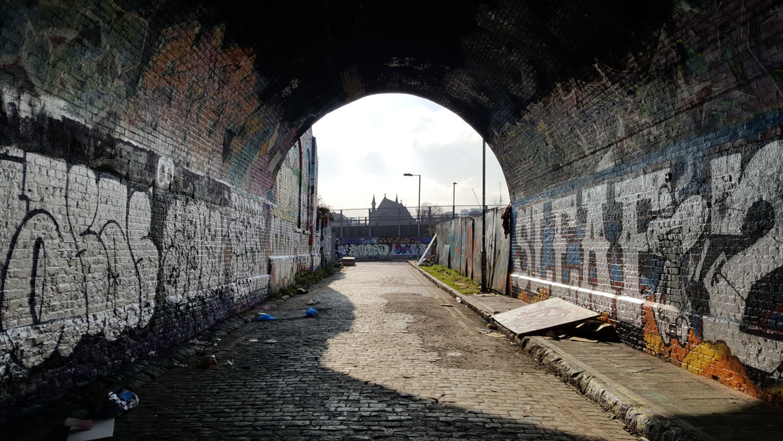
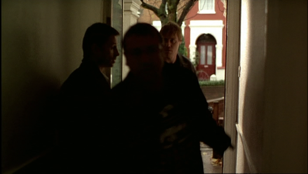
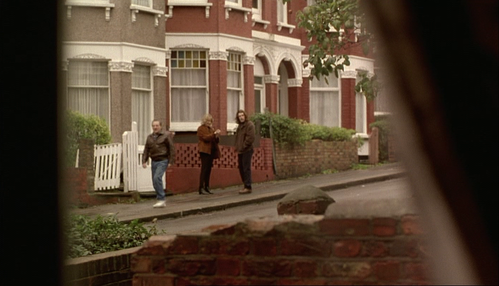
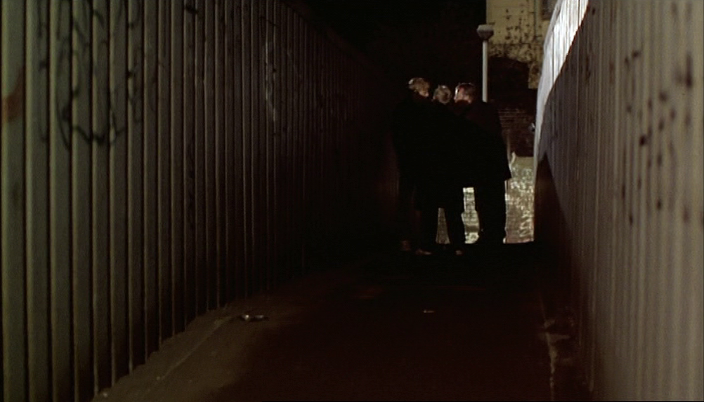
My misreading of this as a map is ironic in that this housing estate is the one place in the film I have been unable to locate and so plot on a map of the film: |
|
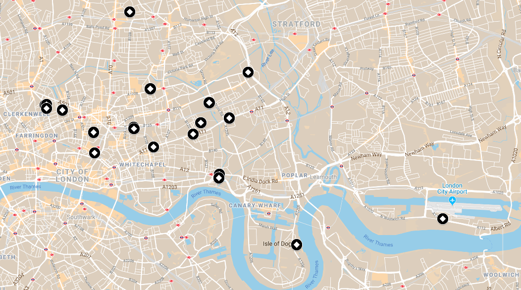
|
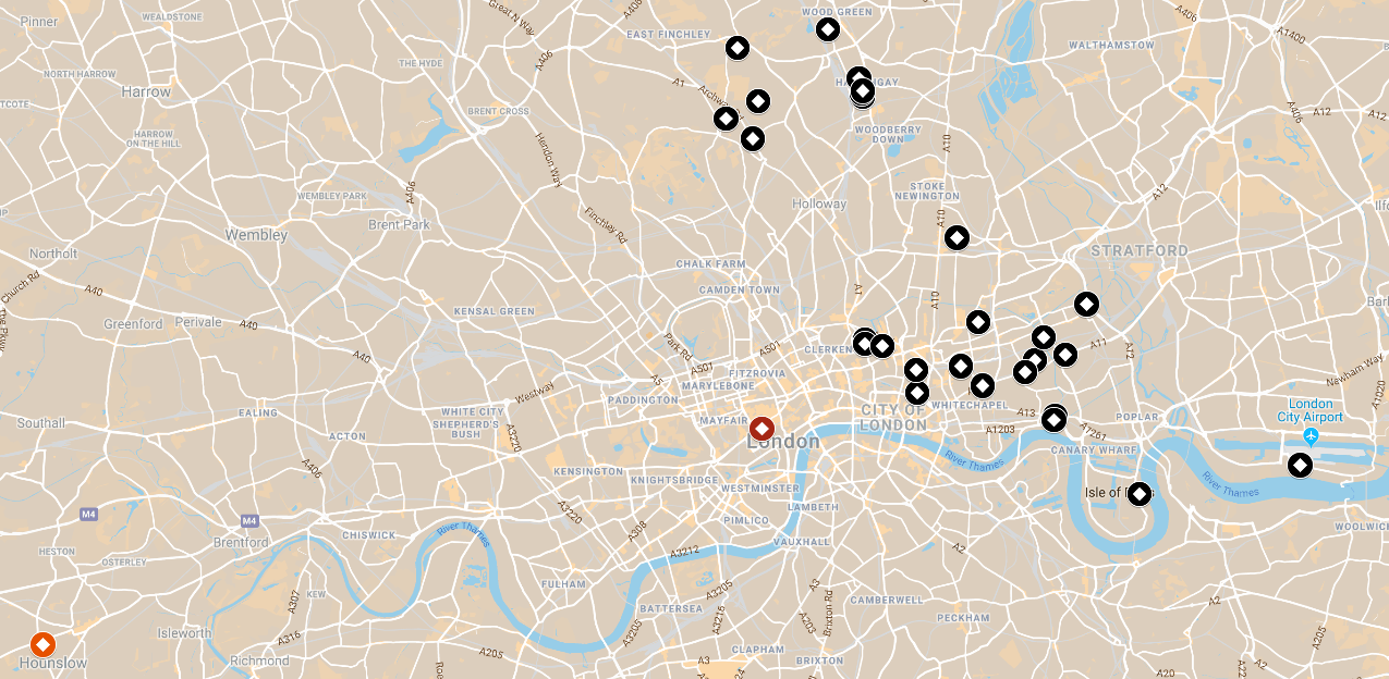
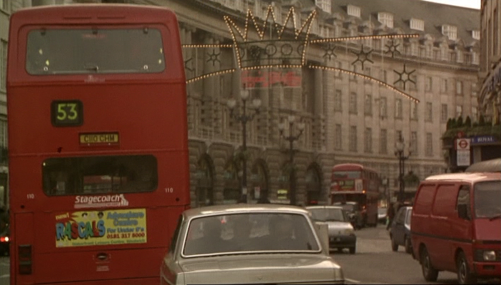
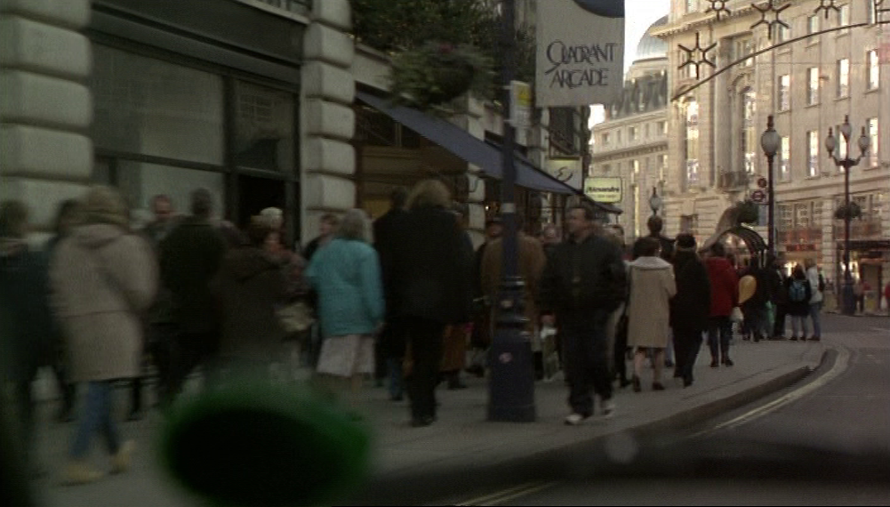
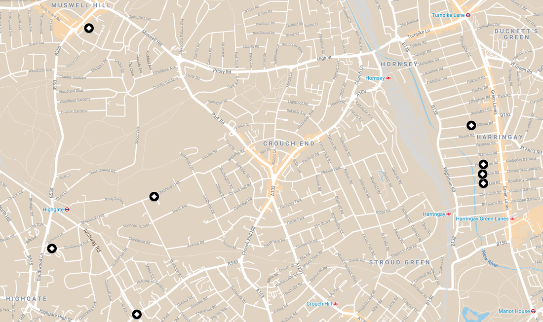
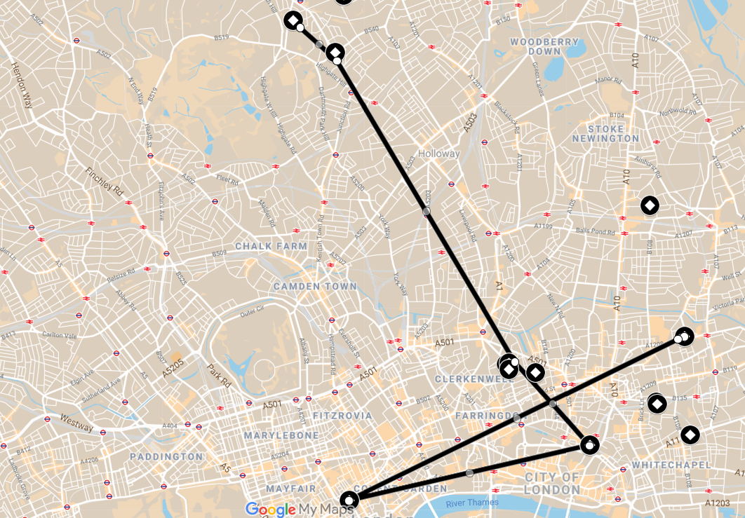
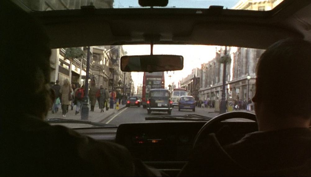
We can see from this map of Face that it is not a film that goes south of the river. The film is strongly oriented eastwards, from E.C.1 out to E.16, with a subset of locations in North London. The one westerly location is the supposed site of the robbery in Hounslow, and there is one brief driving sequence in the West End offering token views of landmark London:


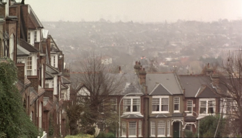
North London provides locations for the homes of three characters:
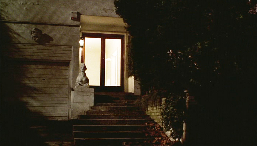
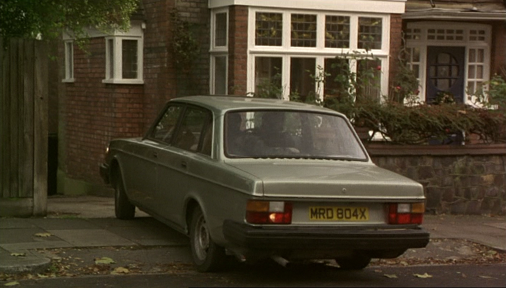
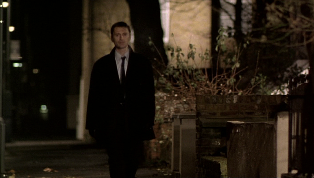
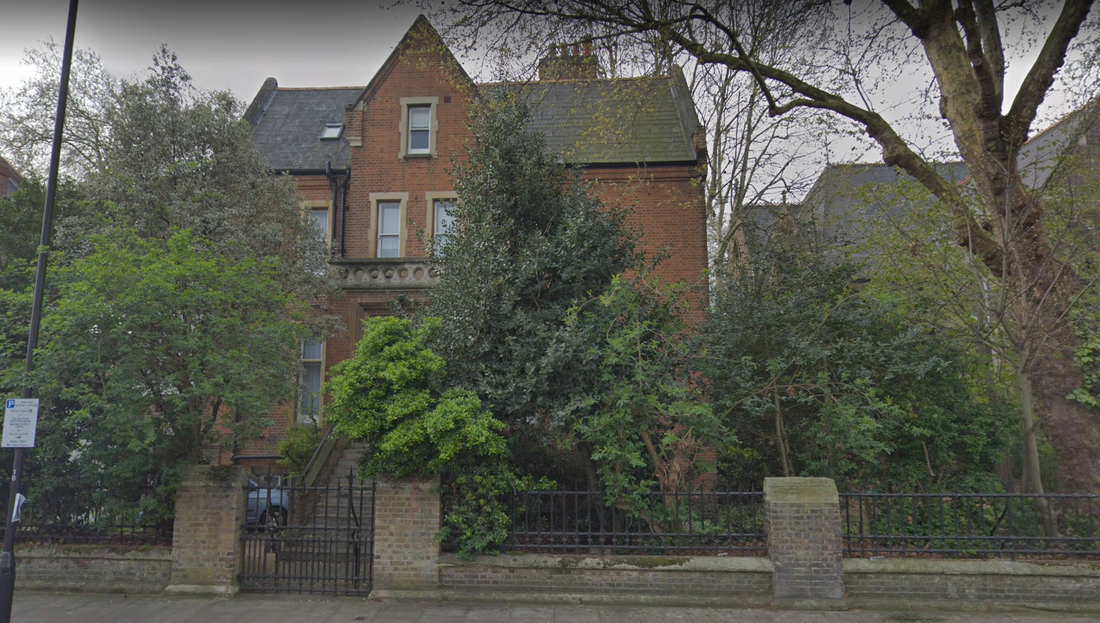
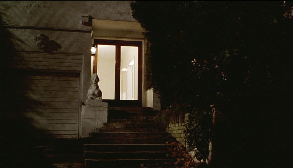
Chris (Andrew Tiernan), the corrupt policeman, lives at 48 Shepherd's Hill, N.6, between Highgate and Crouch End:
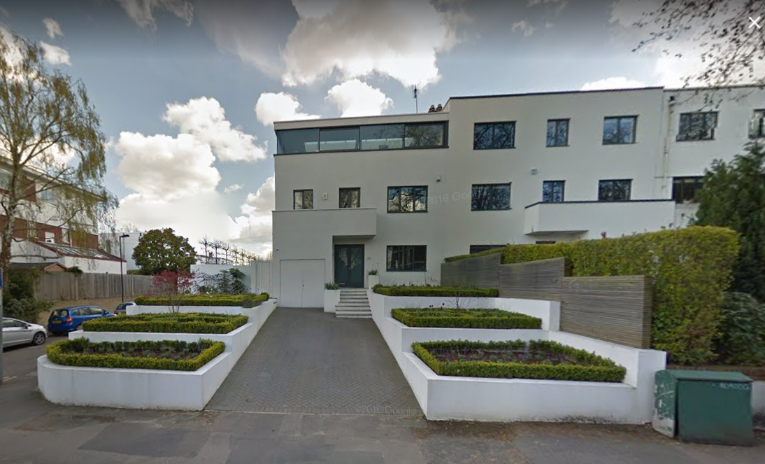
Google Street View April 2016
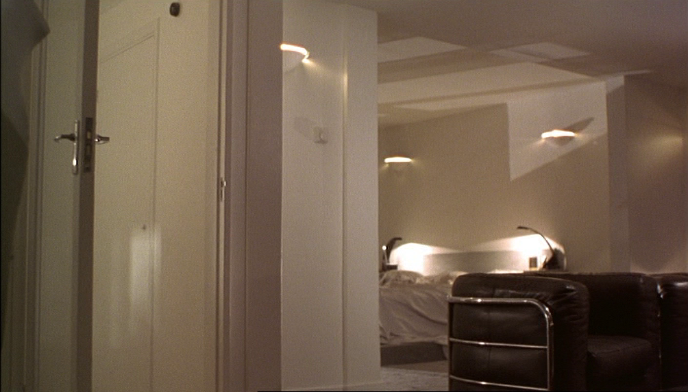
The exterior views do not show this elegant Modernist abode in its best light. The incongruous sphinx and sculpted classical face were not placed there for the film, though clearly they were not a part of the original 1930s' design of the building (they were removed some time after 2009). Curiously, the film was careful to ensure that the interiors matched the minimalism of the exterior as originally conceived:


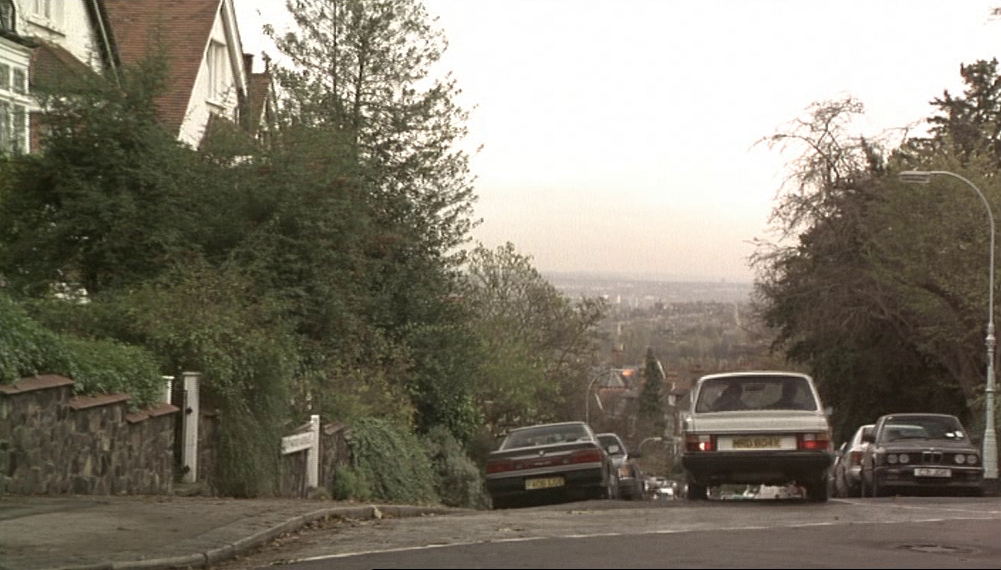
Dave (Ray Winstone) lives in Highgate, at 32 Southwood Lawn Road, N.6:
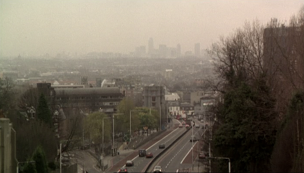
The shots of the car arriving and leaving give panoramic views over London:
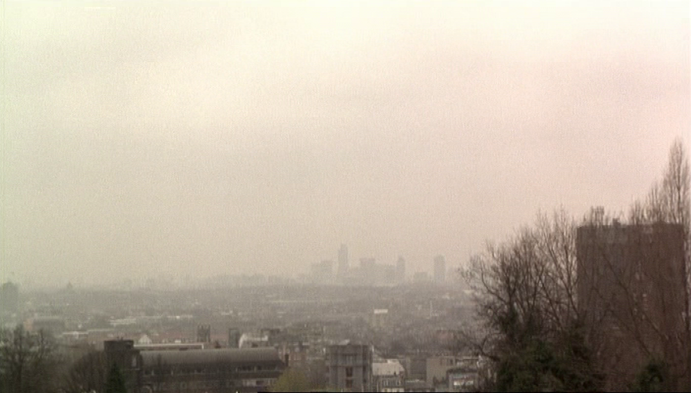
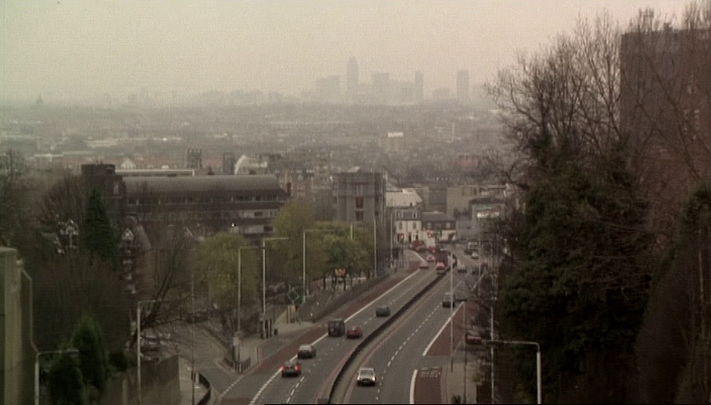
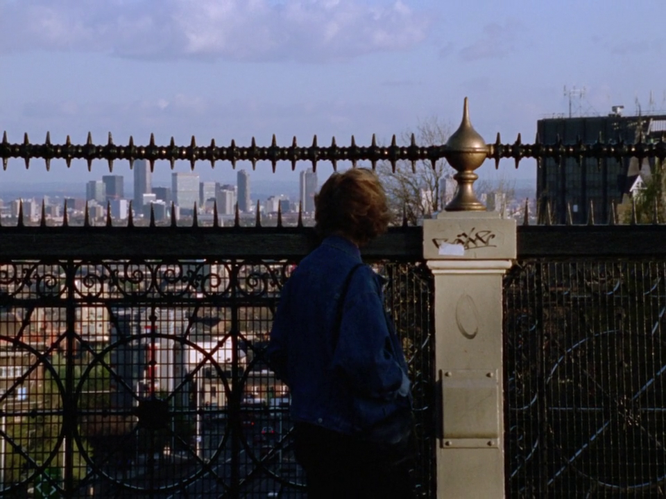
The suggestion here that these gangsters live 'on top of the world' is reinforced in the following shot, taken from the nearby bridge over Archway Road, looking south towards the City:
When four of the gang go to see Jason (Damon Albarn), we see them parking on a street that offers a view over London similar to the one from near Dave's house:
|
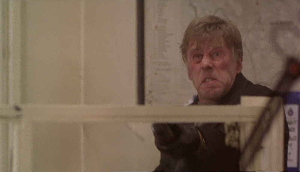
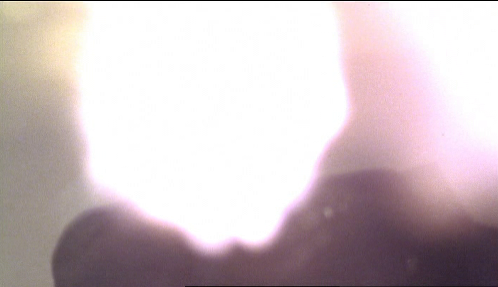
This is Hillfield Park, N.10, in Muswell Hill. However, Jason lives on Duckett Road in Harringay, not in Muswell Hill. There are no such panoramas to be had from the vicinity of Duckett Road; this shot is a sleight-of-hand used to reiterate the 'top of the world' motif, which subtly prefigures the Cagneyesque, white-hot rage of the gangster Julian (Phil Davis) at the film's climax (right).
|
|
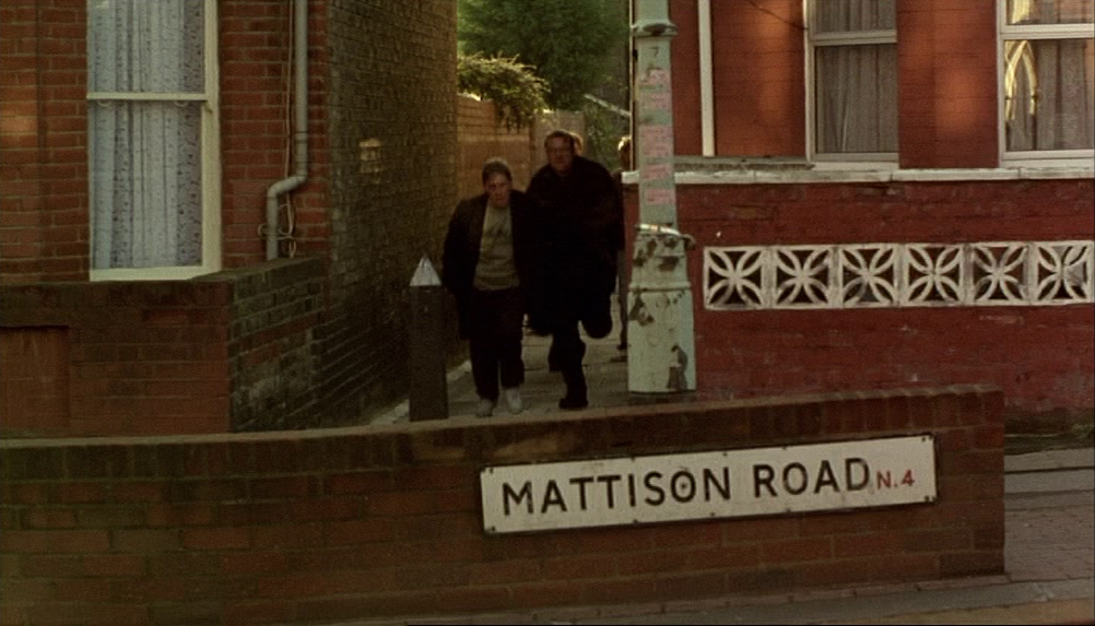
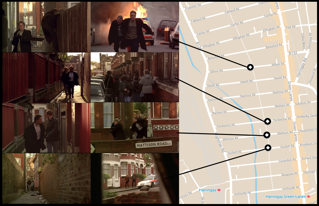
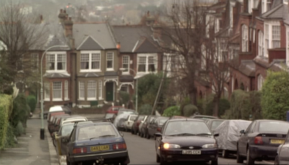
After parking the car in Muswell Hill the four men go to Jason's house in Harringay, at 67 Duckett Road:
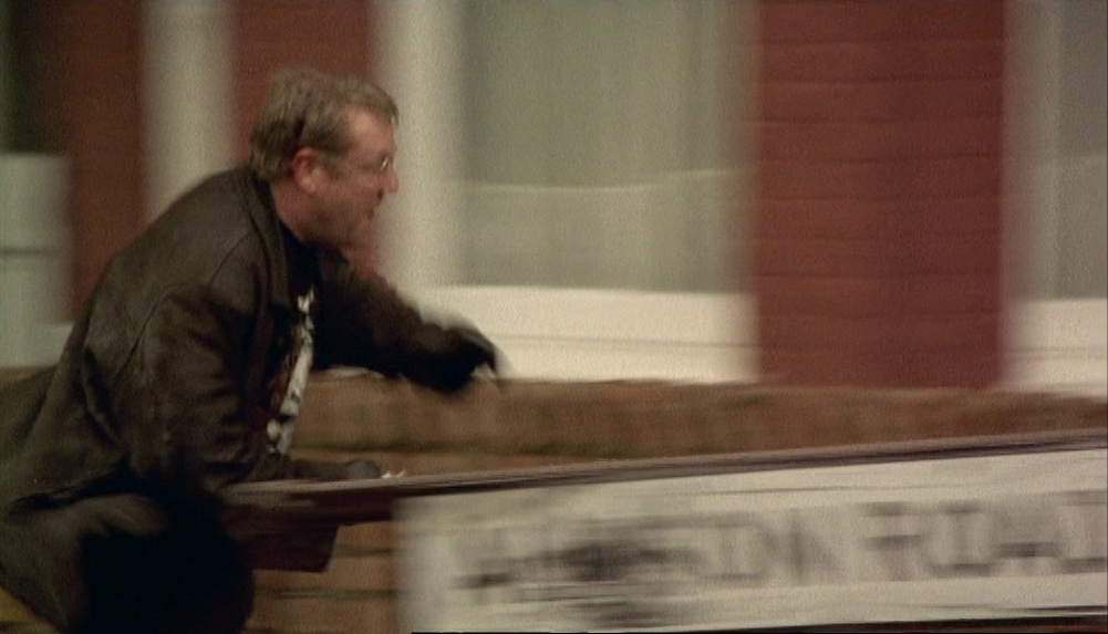
This is an area known as the Harringay Ladder, nineteen parallel streets between Green Lanes and Wightman Road, linked by a succession of narrow alleys called collectively Harringay Passage. The sequence ends with a spectacular shootout on Allison Road:
Almost all of the other locations of the film are East Central or East:
None of the North London locations is named in the film, and the only one of the locations on the map above that is named and shown in the film is Julian's home on the Isle of Dogs. His home is marked as different from all the others shown not only by its location but also by its type:
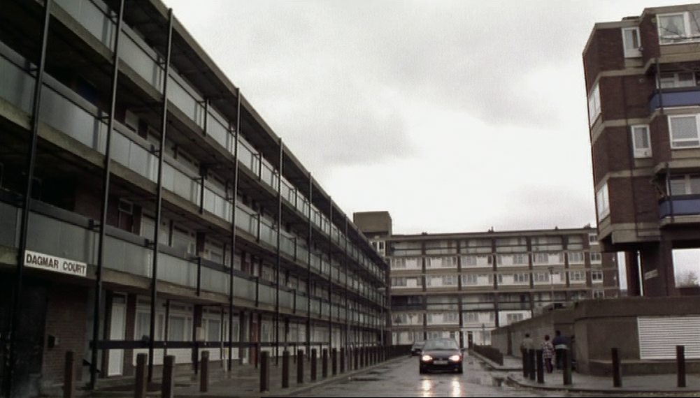
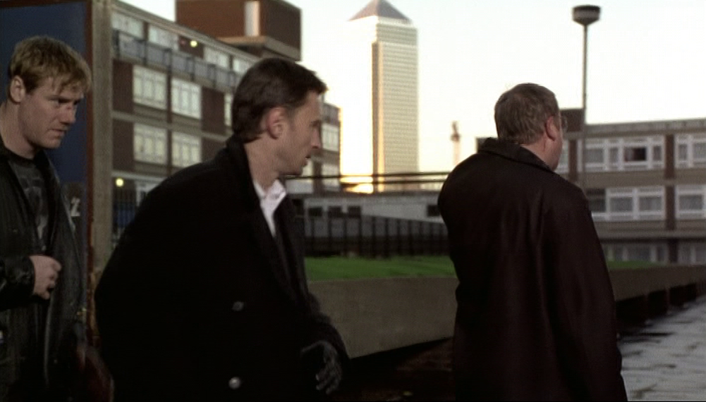
Dagmar Court is part of the Samuda Estate on Manchester Road, E.16, mid-sixties social housing. Views of the area include underground garages and, looming over the whole estate, the tower called One Canada Square:
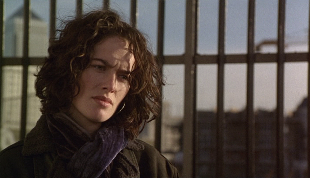
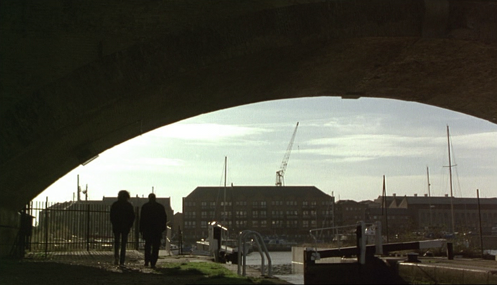
The tower is seen from another direction in a scene between Ray (Robert Carlyle) and Connie (Lena Headey) at Limehouse Basin, E.14:
|
|
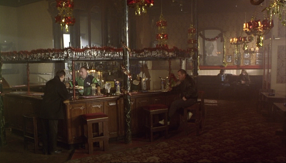
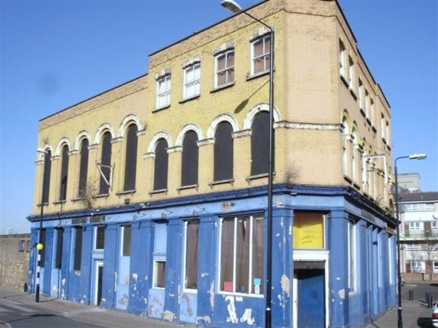
The most easterly location is a pub in Silvertown, the Railway Hotel at 2 Connaught Road, E.16, on the corner with Constance Street:
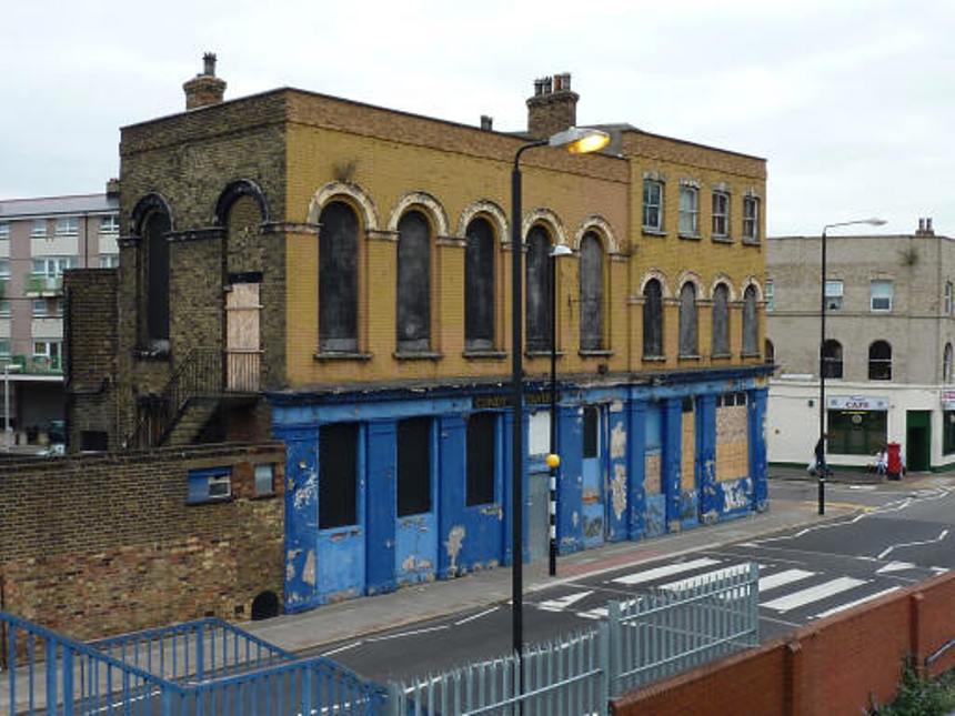
|
photographs by Stephen Harris
|
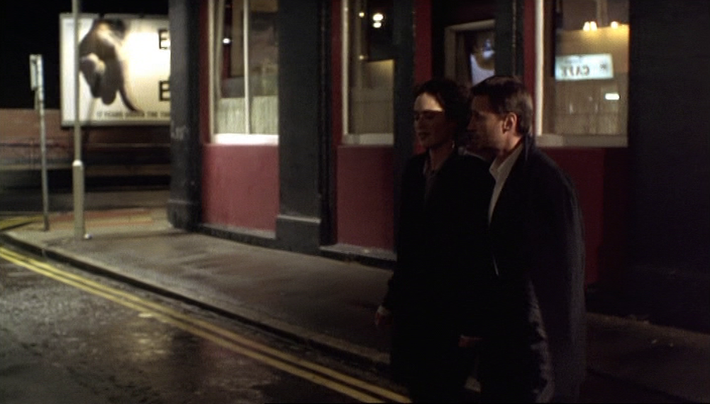
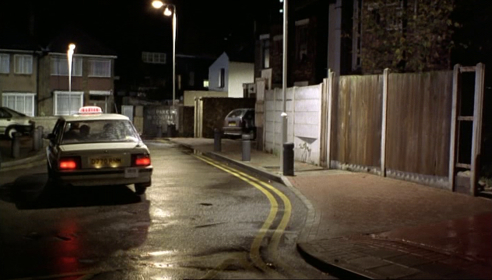
The pub was demolished c.2009 (see here). Ray, Connie and Stevie get into a taxi on nearby Parker Close:
When inviting Connie to the party at the pub, he calls it The Palm Tree. There is a pub of this name in Bow, in the middle of Mile End Park, that in type is very much like the one actually used for the film, and it may be that the Railway Hotel is supposed to pass for this reasonably well-known, Grade II listed pub:

2/ locational modes
There are five locational modes deployed in Face:
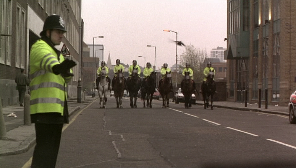
a/ a place is itself, recognisable or identified as such, as here Lower Regent Street and the Samuda Estate on the Isle of Dogs:
a/ a place is itself, recognisable or identified as such, as here Lower Regent Street and the Samuda Estate on the Isle of Dogs:

This is the case also with the sequence in Harringay, where street names and postal districts are readable:
|
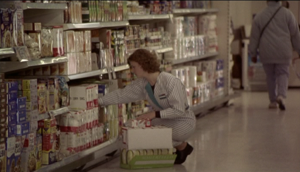
Identified places can lead to assumptions about places that are narratively contiguous. The men go to see Jason's girlfriend in a supermarket - 'shot in a real supermarket, while it was open', says Bird on the commentary - and the next sequence shows them on a footbridge heading towards their car parked by an identified street: |
|

|
|
Ray and Dave are carrying goods they have just acquired from the supermarket. Continuity implies contiguity, but it would be wrong to assume that the supermarket was somewhere in Fish Island, that part of Bow on the other side of that footbridge.
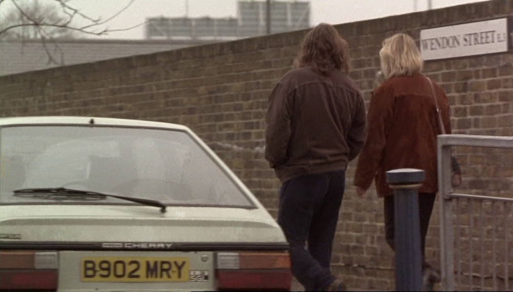
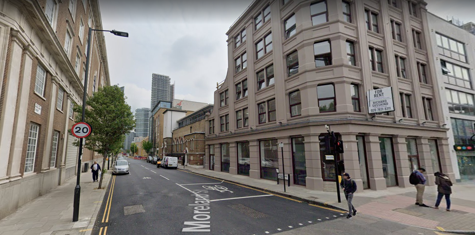
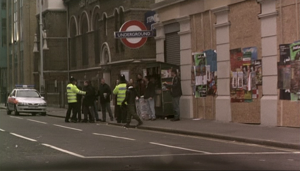
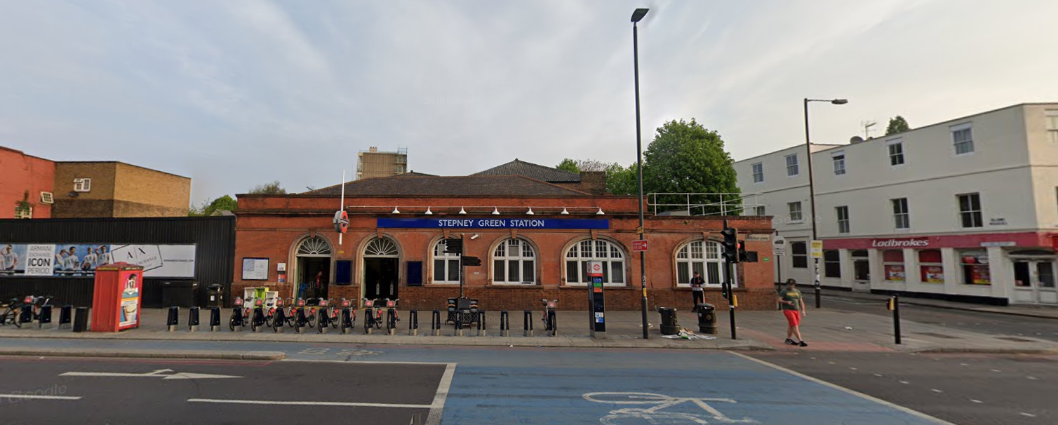
b/ one place is used to represent another, identified by name. That would be the case with the pub, if we are to understand it to be the actual Palm Tree pub in Bow, and is the case here, an underground station that is supposed to be Stepney Green:

This is actually Moreland Street, E.C.1., where there is no underground station:
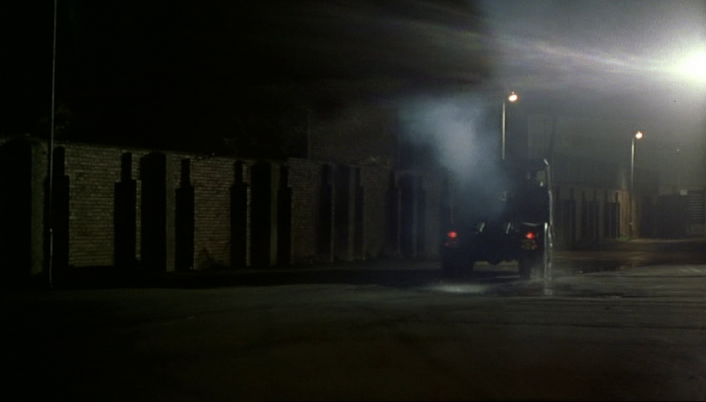
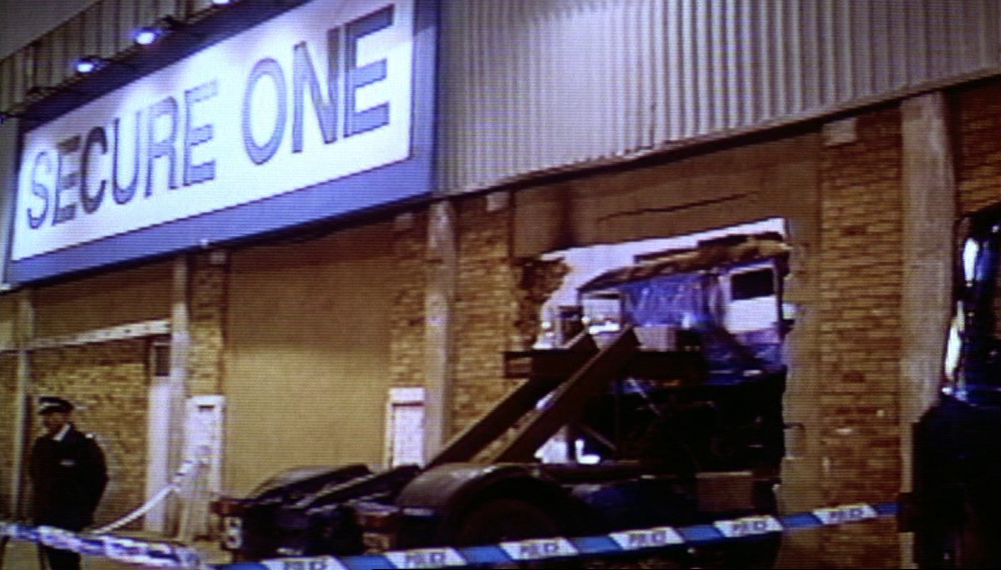
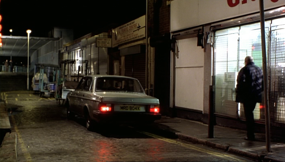
Under this heading comes the Hounslow security depot, assuming that the location used wasn't actually a site in Hounslow. There are indications that the film used a Tate and Lyle factory in Silvertown, and I can find no other sequence in the film which would seem to fit so perhaps that is the place we see in these views:


c/ a place is not identified and can be read as simply generic. However, its actual location is compatible with the film's signalled topography, such that knowing where that place is enriches a topographical reading of the film. This is the case with the two homes in Highgate, and seems to be so here, with Bill and Linda's home at 368 Bancroft Road, E.1:

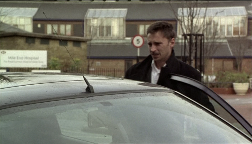
It is true that the camera pans quickly past a sign across the road that reads 'Mile End Hospital', which means that, for the spectator sharp enough to decipher that blur of words, the location would more properly belong in my second category.
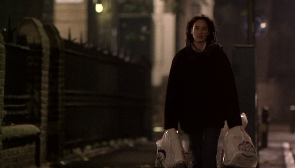
The shelter for teenagers where Connie works belongs fully in the third category. We have glimpses of the street outside, at night, and a view from inside the shelter of a building opposite, but nothing else that would localise it:
The shelter for teenagers where Connie works belongs fully in the third category. We have glimpses of the street outside, at night, and a view from inside the shelter of a building opposite, but nothing else that would localise it:
This is Saint Mark's Vicarage on Sandringham Road, E.8:
Google Street View April 2018
Though the postal district is E.8, this location in Hackney sits halfway between the film's concentration of sites in East London and those in North London, fitting the in-between position of the character Connie and the refuge she offers the unsettled Ray. (His own home is only shown in interiors but we know from what he tells a taxi driver that it is on or near the Mile End Road, E.1-E.3.)
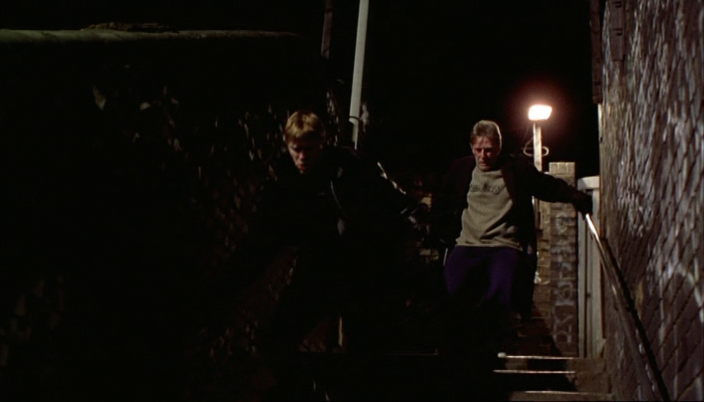
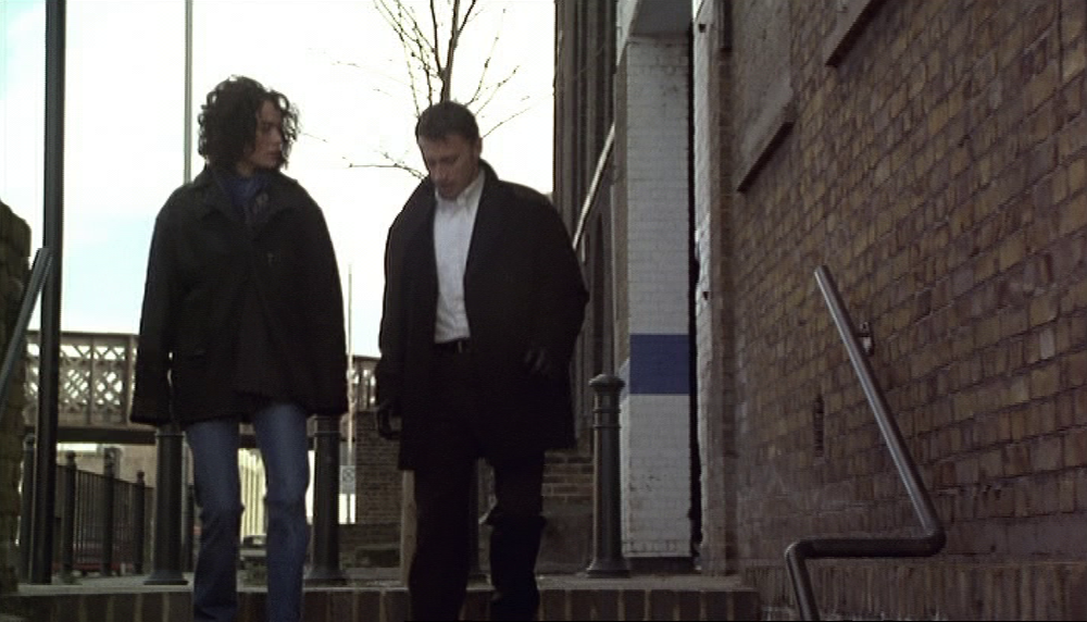
Also in this category would be the footbridge where Ray confronts Dave:
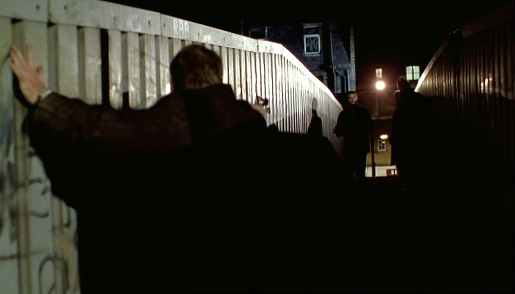
This is the bridge that runs from Cheshire Street. E.2, towards Pedley Street. In the film it is identified as 'the footbridge by Dave's old place', and when recognised it suggests a back story to the effect that Dave, 'an old style face', has moved from traditional East End gangster territory up to middle-class, respectable Highgate. Stevie had remarked to Ray when they went to collect Dave at his home: 'It's a lovely house. We could get somewhere like that, couldn't we Ray?'
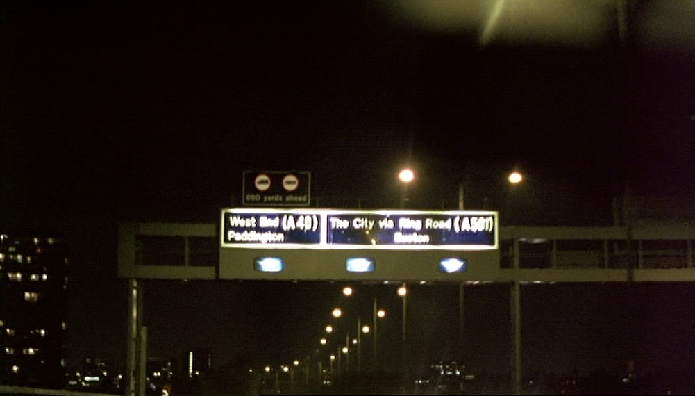
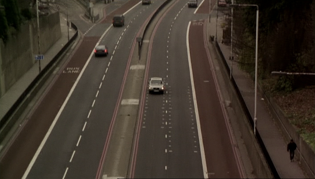
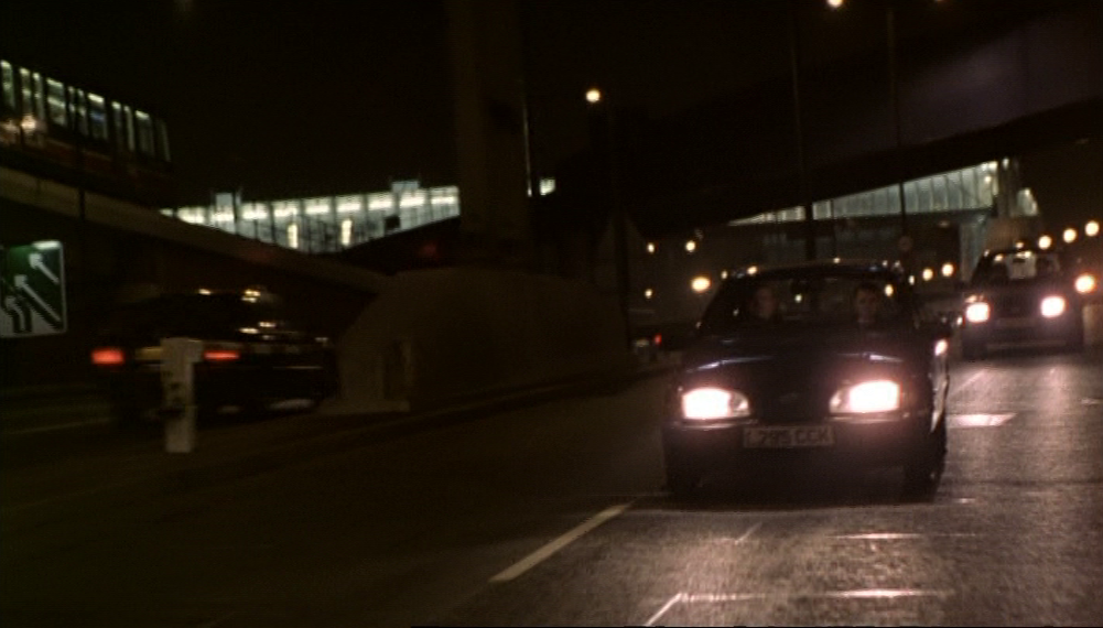
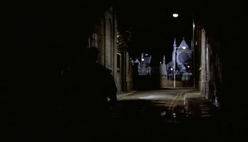
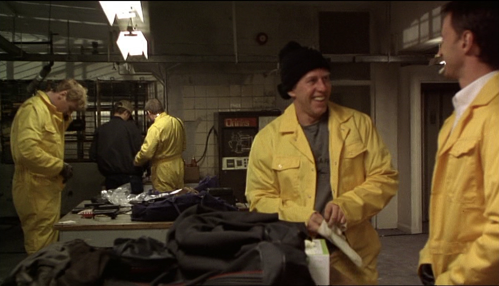
d/ a place is not identified and can be read as simply generic, and the actual location is not compatible with the signalled topography of the film. Before and after the heist the gang meets at an operations base, referred to in criminal parlance as a flop. When Ray and Dave drive from there to Whitechapel, they are on the Westway heading east:
Nothing more specific is said or shown about where the flop was, but it evidently was supposed to be somewhere in West London:
|

|
The building used is Coate House on Coate Street, E.2, at the junction with Dinmont Street, a topographically incompatible location.
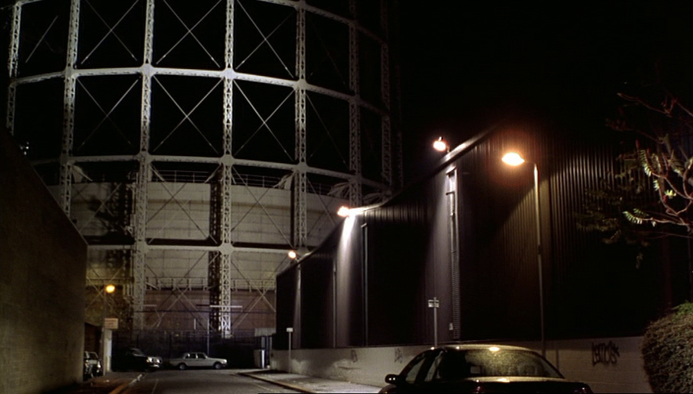
On the way to the flop from the security depot in Hounslow they switch vehicles here:
On the way to the flop from the security depot in Hounslow they switch vehicles here:
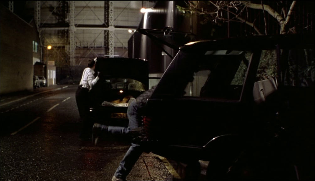
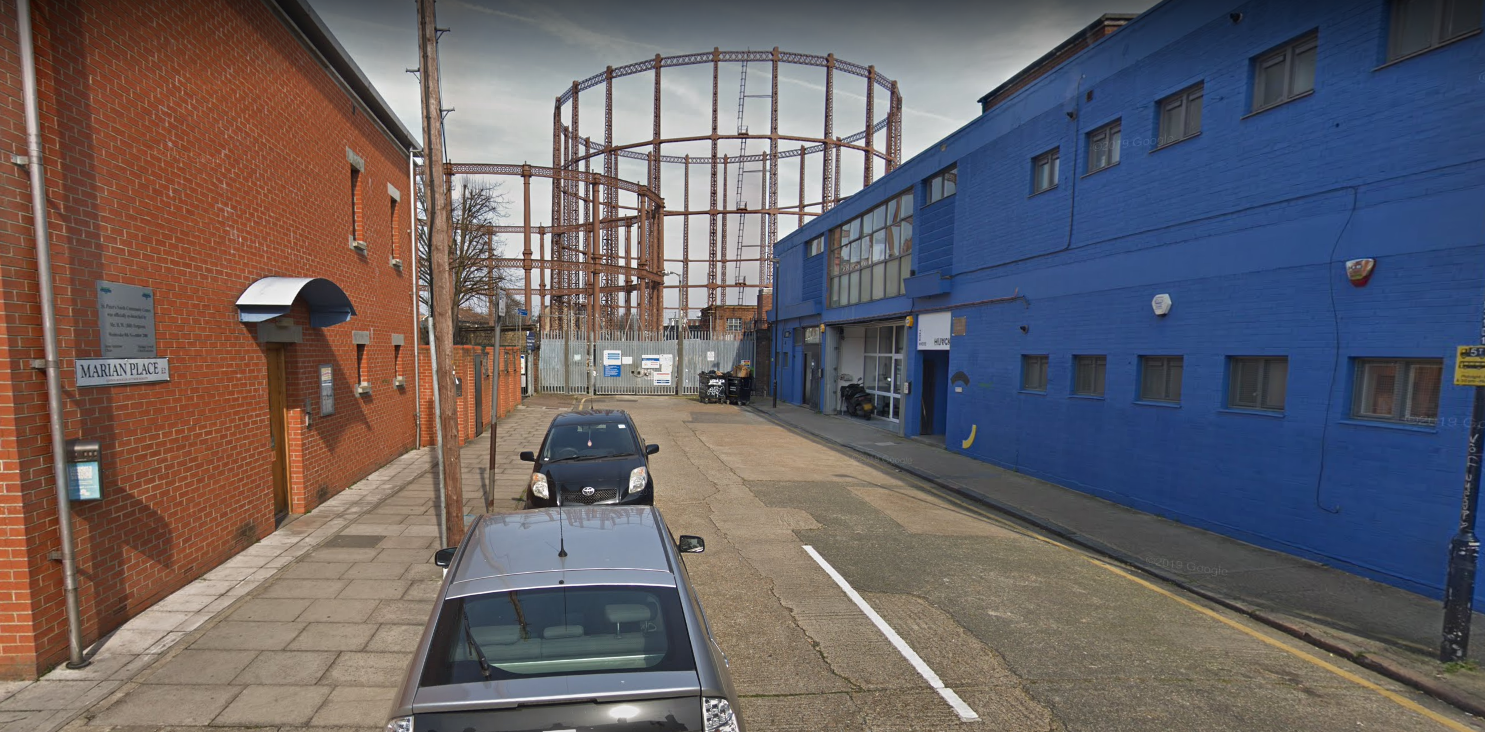
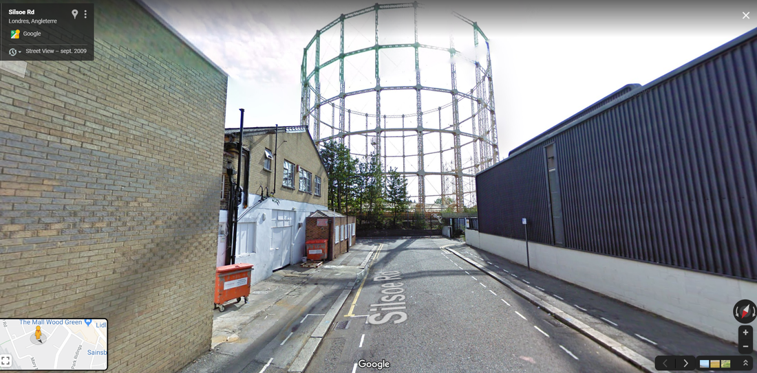
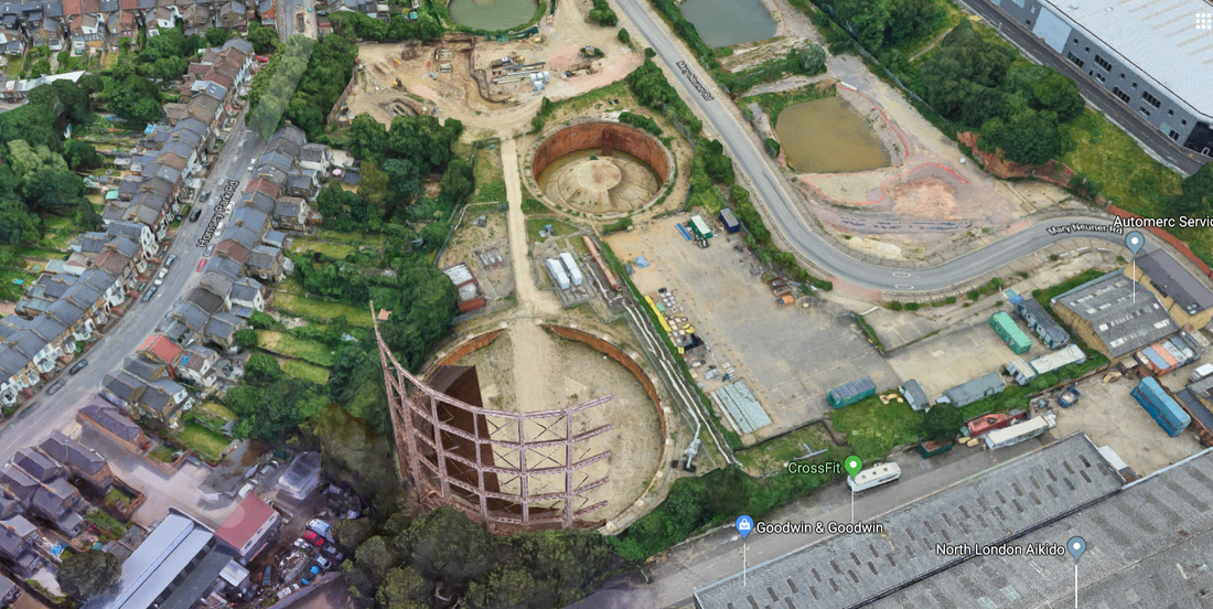
In the background is one of two gasometers in Wood Green, viewed from Silsoe Road, N.22. It is entirely unfeasible that they would go to Wood Green from Hounslow to switch cars, wherever the flop was supposed to be. The location was chosen because it is picturesque. Oddly, right next to Coate Street, the location chosen for the flop, there were gasometers that could easily have served this purpose and saved the effort of going all the way to Wood Green:
Marian Place, E.2. Google Street View April 2019
Perhaps they didn't loom sufficiently.
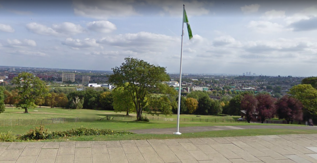
I am nonetheless glad that the Wood Green gasometer appears in Antonia Bird's film. It has been for me a local landmark since childhood and a source of fascination, as its inner chamber rose and fell according to the level of our local gas supply. It occupied a significant space in the foreground of the view from Alexandra Palace, a view I have often and long contemplated:
I am nonetheless glad that the Wood Green gasometer appears in Antonia Bird's film. It has been for me a local landmark since childhood and a source of fascination, as its inner chamber rose and fell according to the level of our local gas supply. It occupied a significant space in the foreground of the view from Alexandra Palace, a view I have often and long contemplated:
And then at some moment in the last three years the gasometer and its smaller brother were demolished. Google Earth captured its last moments in what is for me a pathos-laden image:
I think I prefer to remember it like this:
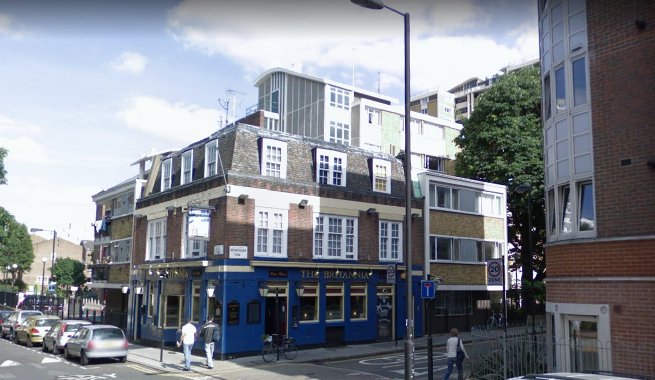
e/ The fifth locational mode deployed in Face is where a real place represents a fictional place. The money from the heist has been taken to 'Ivel Road' police station. To represent this fictional police station the film uses the former Clerkenwell Telephone Exchange on Ironmonger Row, E.C.1, on the corner with Lever Street:
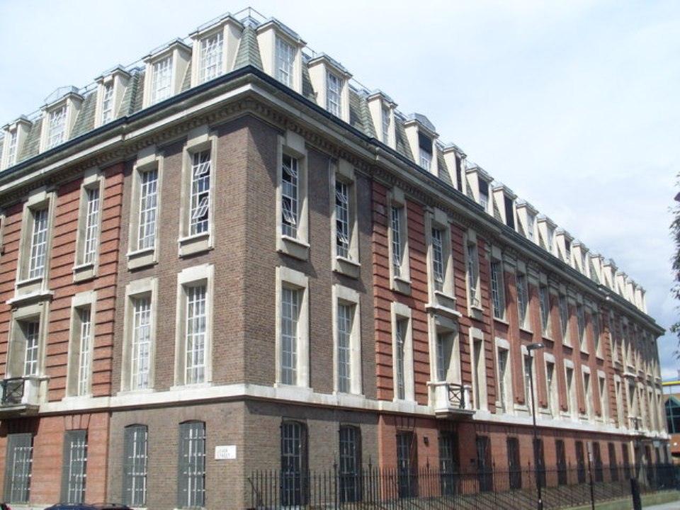
photograph ©David Hillas
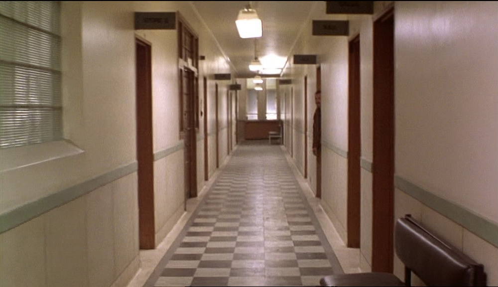
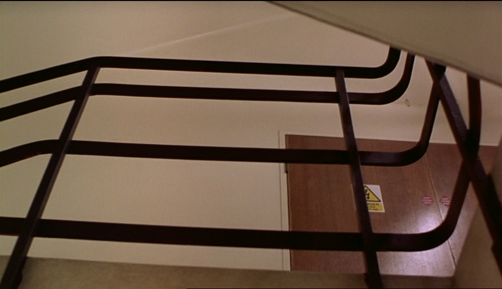
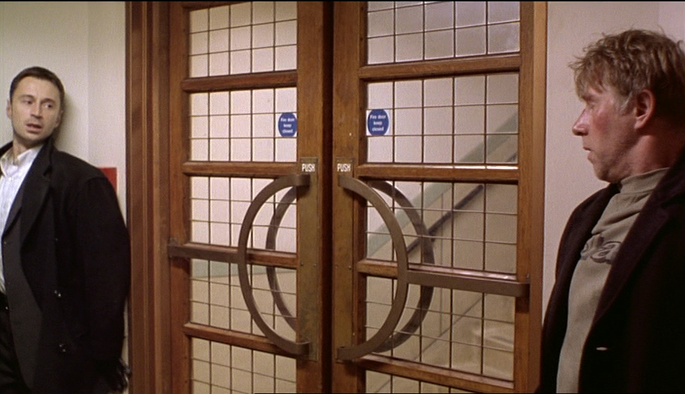
Exterior views in the film are all of the building's inner courtyard, with a view out from the entrance showing the Britannia pub on the opposite corner:

In the audio commentary Bird and Winstone remember the location as the Tate and Lyle building in Silvertown. They are clearly wrong about the exteriors but also, I think, wrong about the interiors. These views all look to me what the inside of the Clerkenwell Telephone Exchange must have looked like - an official administrative building, not a sugar refinery:
I haven't yet found any images of the inside of the Clerkenwell Telephone Exchange that confirm or refute my hypothesis; when I do I'll update this post.
3/ sites of memory
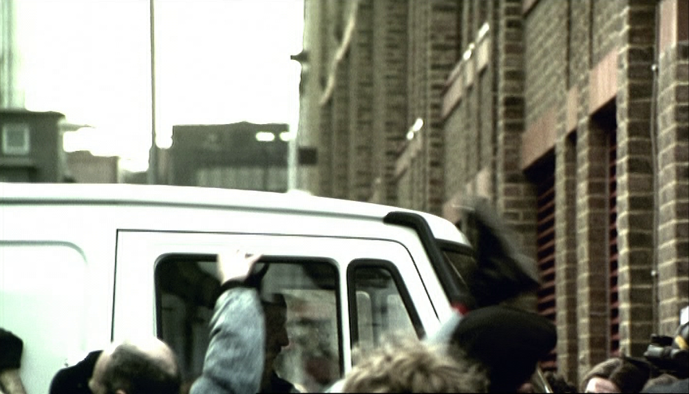

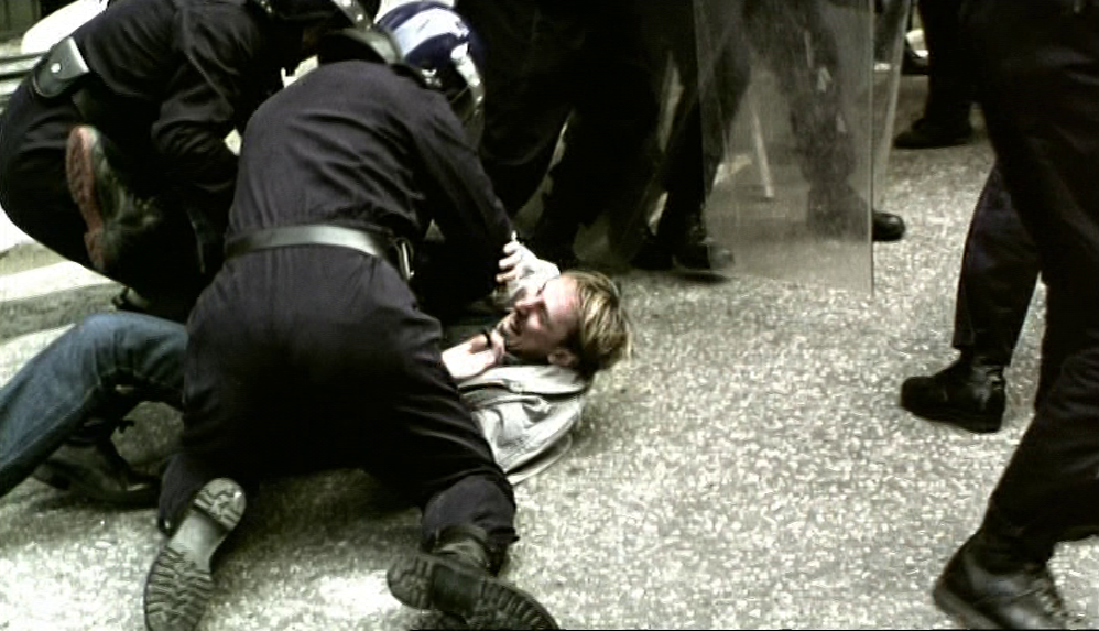
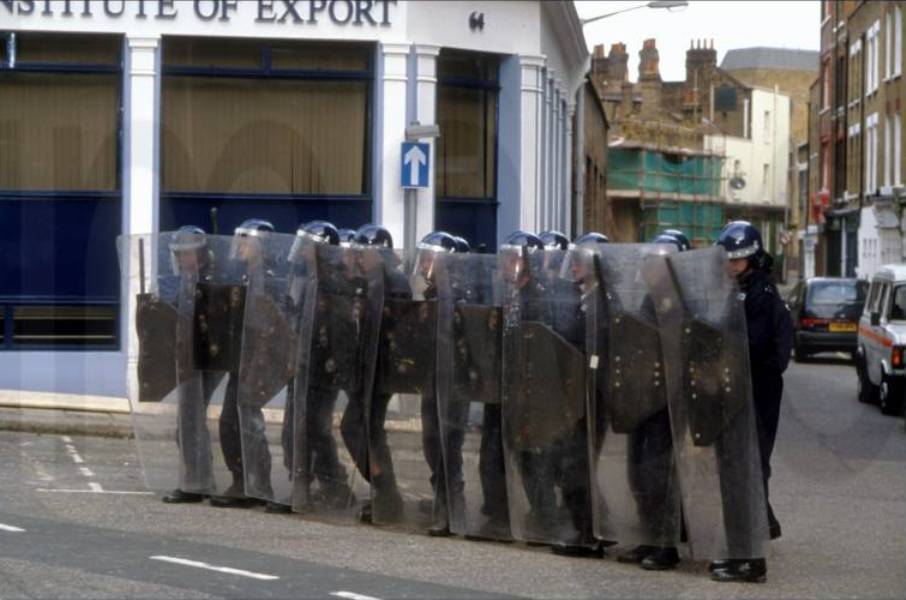
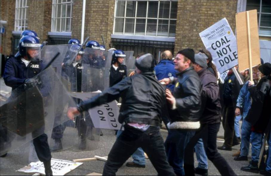
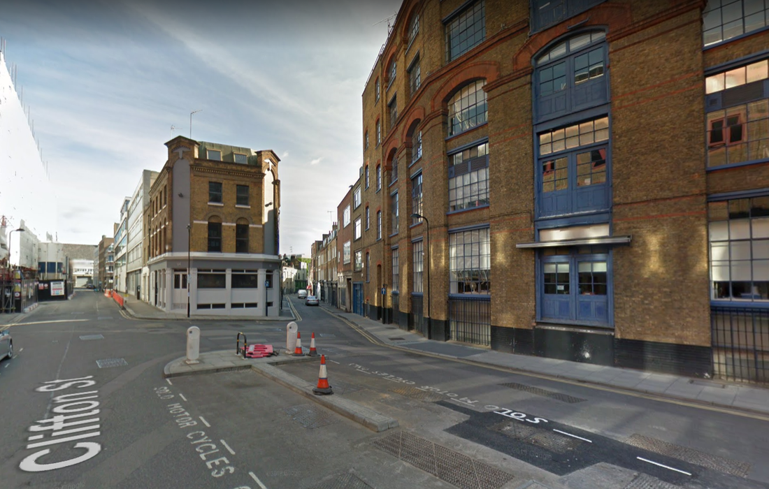
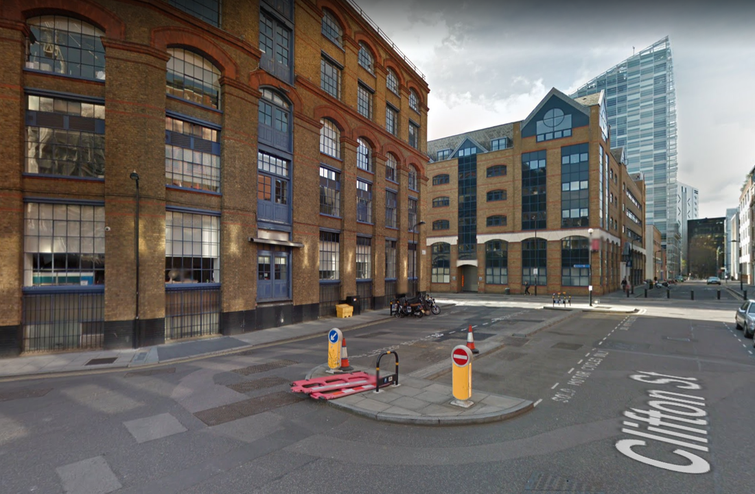
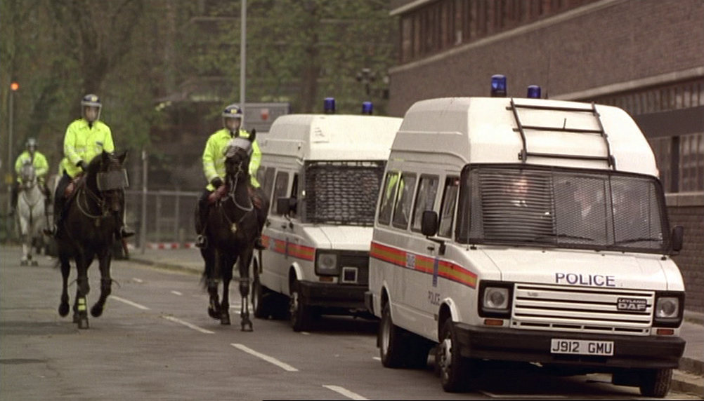
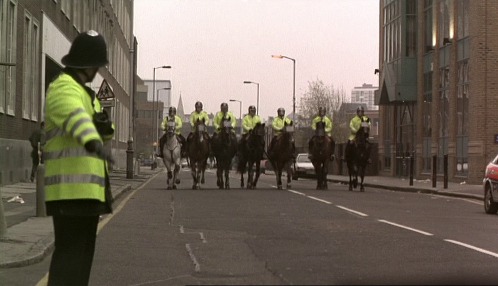
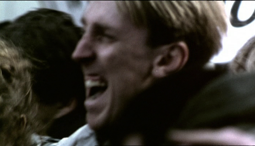
Memories of Ray's former life as a Communist militant are evoked as flashbacks to scenes of a demonstration in support of striking miners and print workers, a demonstration violently suppressed by the police. These scenes were all filmed on Clifton Street, E.C.1, by Holywell Row, though the location was identified from these production stills rather than from the film itself, where the cutting is too quick and the framing too close to help recognition:
|
|
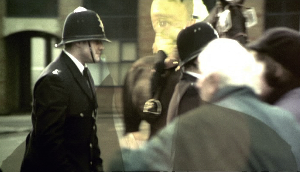
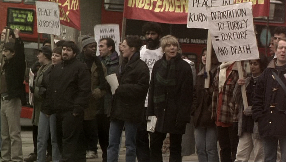
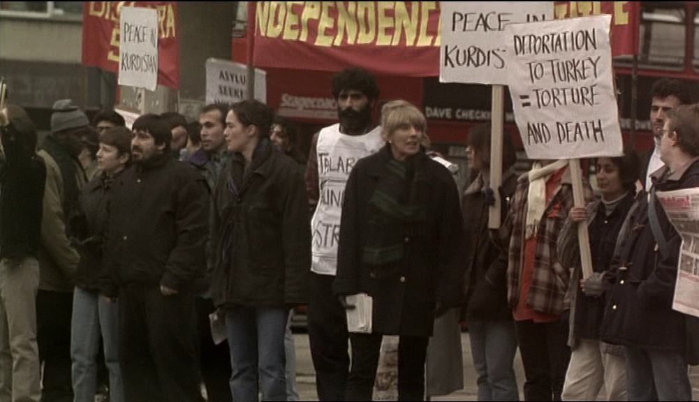
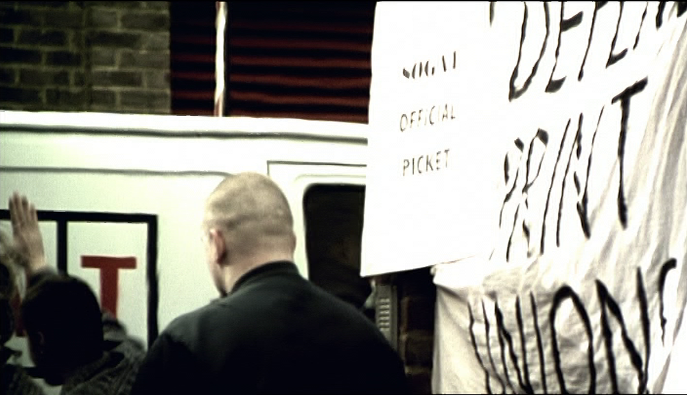
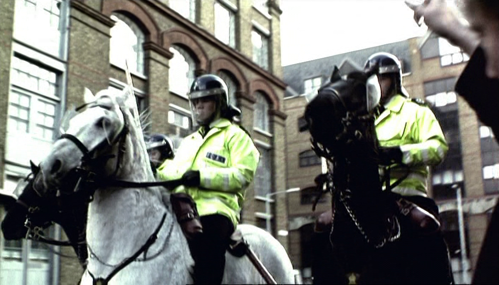
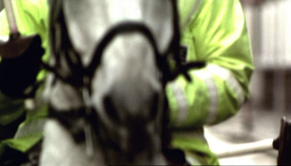
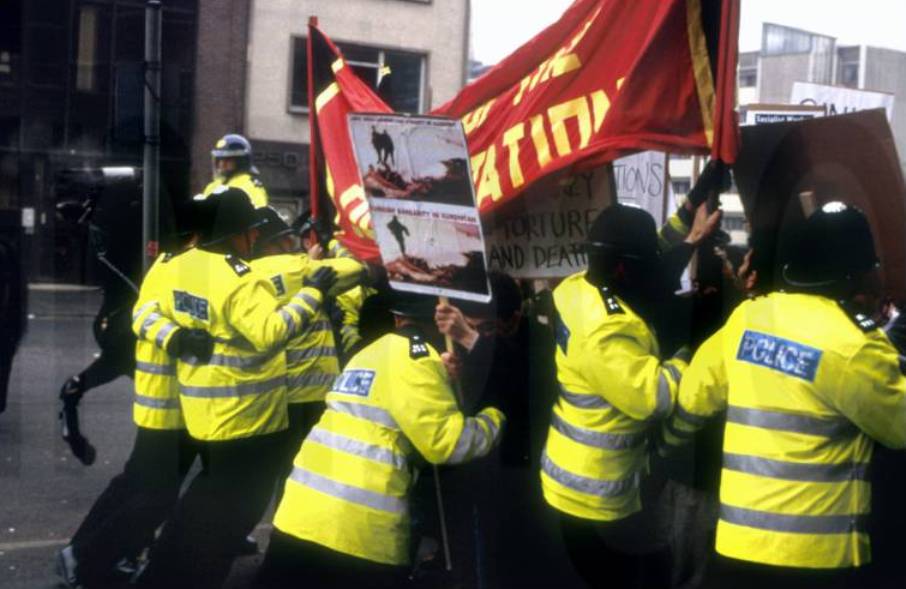
There are almost no readable markers of place in these flashbacks, with the demonstration presented as a generic event standing for all militant opposition to the Thatcherite state's repression of trade unionism. This generic quality contrasts with the specifics of the demonstration opposing the deportation of Kurds to Turkey, which triggers the memory of Ray's earlier militancy. More exactly it is the sight of the police that triggers the memory:
|
|
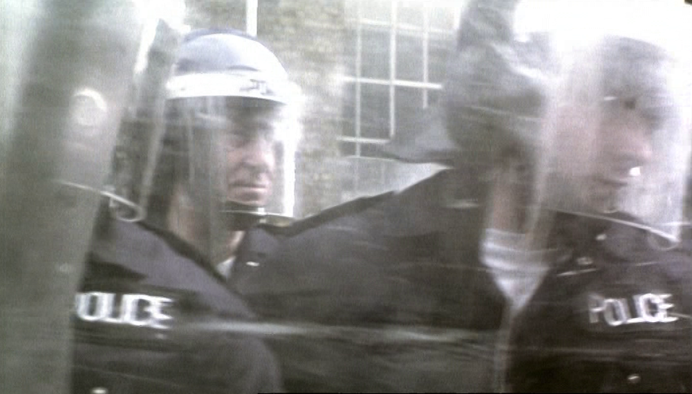
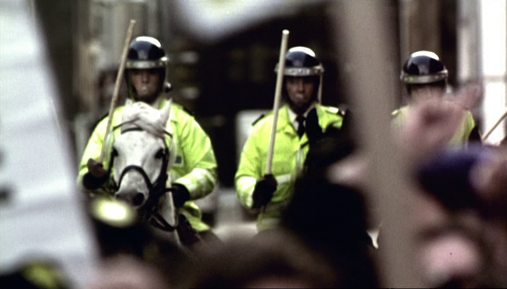
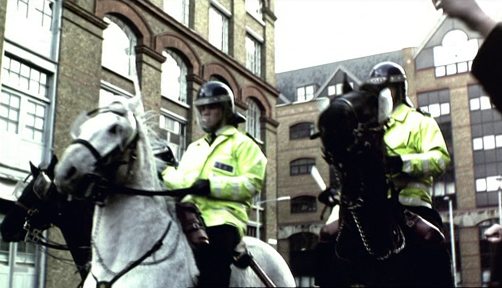
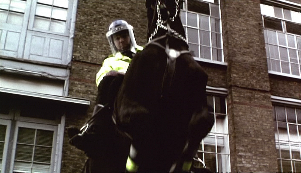
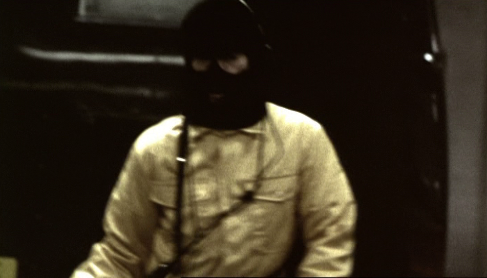
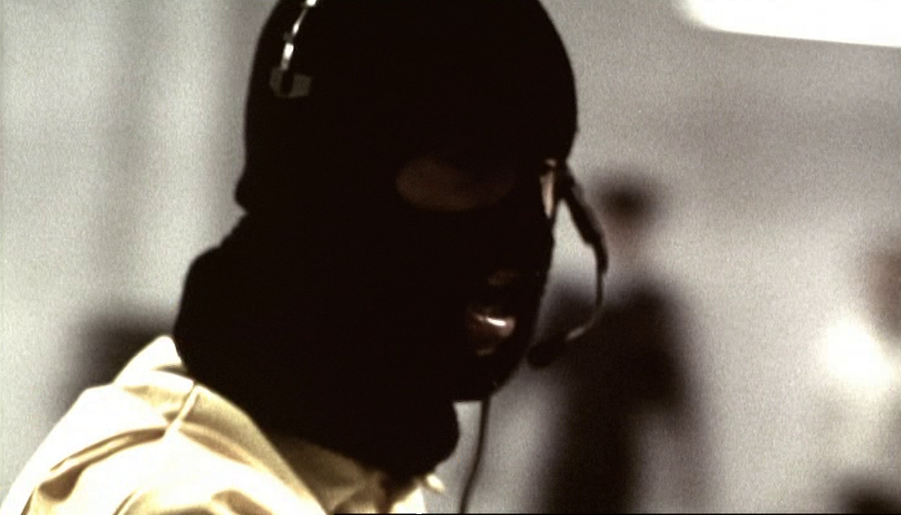
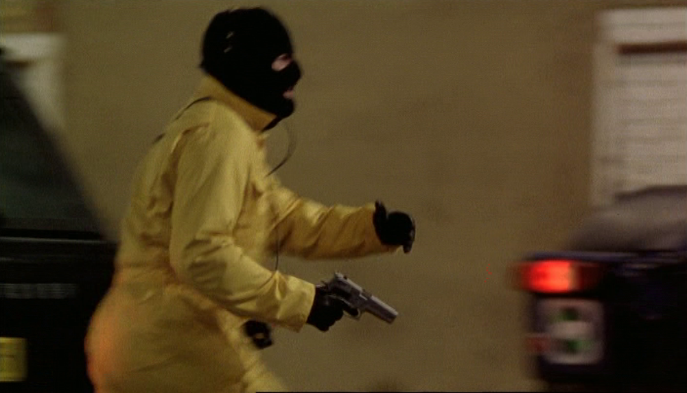
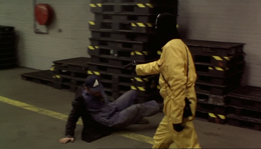
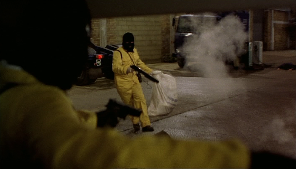
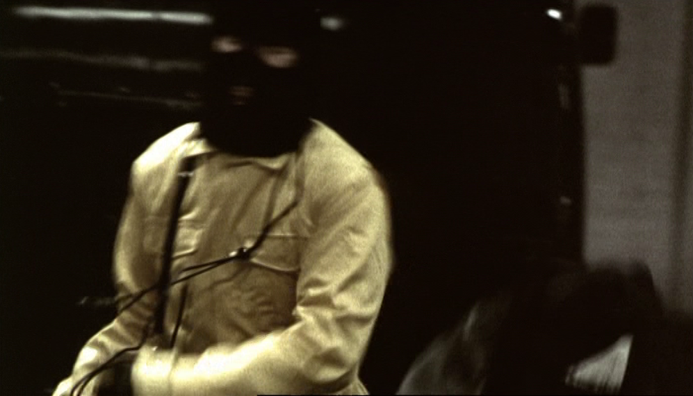
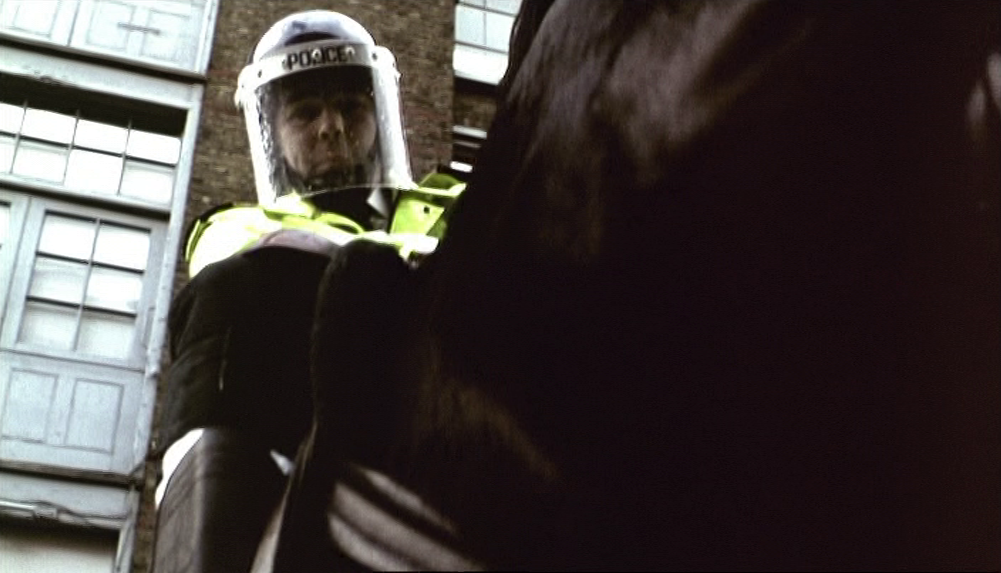
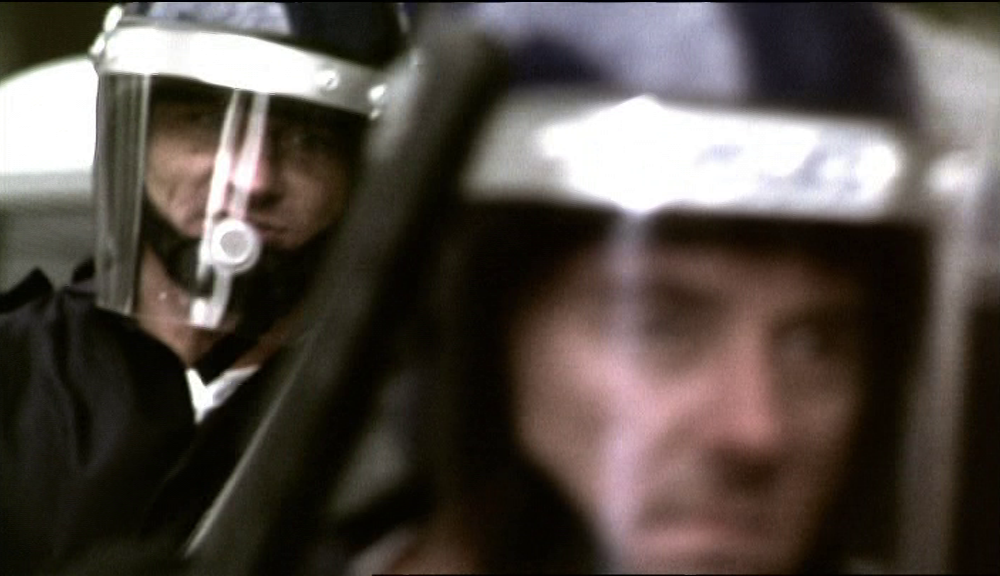
And the yellow jackets of the police connect these flashbacks to their violence with flashbacks of violence perpetrated by Ray himself, more recently, during the raid on the security depot, when he too wore yellow and black:
The colour scheme connecting four different places and times is a different kind of system from the film's organisation around topography. It is coincidence or convenience that the demonstration scenes set in 1985 and those set in 1996 were filmed in the same general area of London, both in E.C.1. Significant reference to place in both scenes is confined to the placards - Kurdistan and Turkey in 1996:
In 1985 the reference is more local than global - one of the 'Coal Not Dole' banners has the inscription 'Bethnal Green Womens ...':
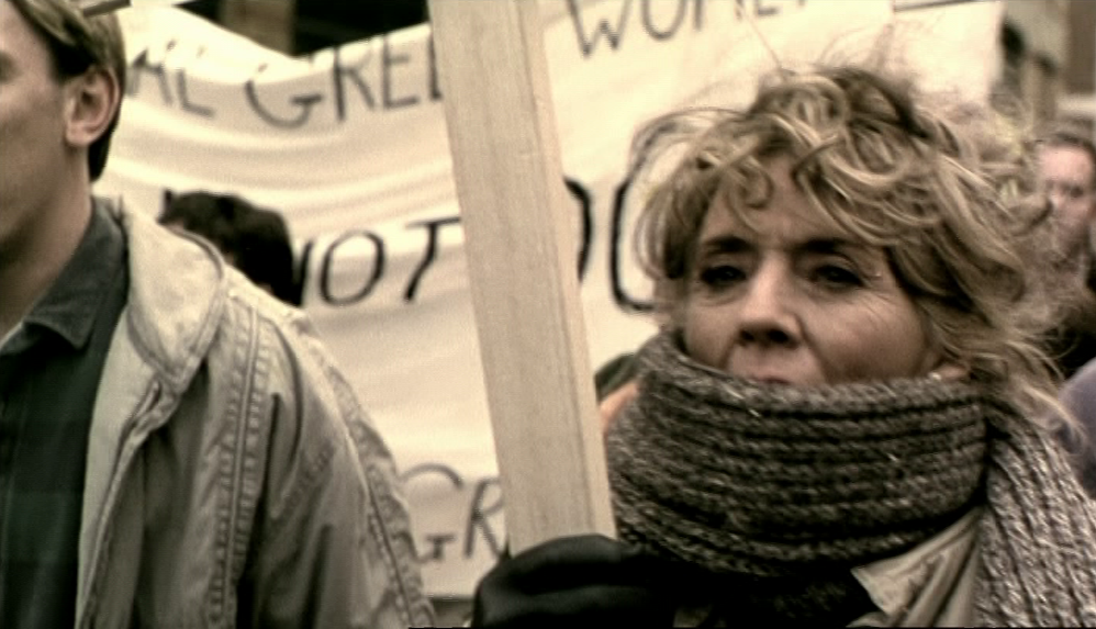
In an interview Antonia Bird stated that Face was set 'in the East End - Bethnal Green specifically - where I've lived for the last 20 years'; the banner suggests that the militancy of Alice, Ray's mother (played by Sue Johnston, above) is an evocation of Bird's own past.
The past of one of the film's actors, Phil Davis, is evoked more obliquely, when we see in Julian's garage a scooter parked in the left foreground:
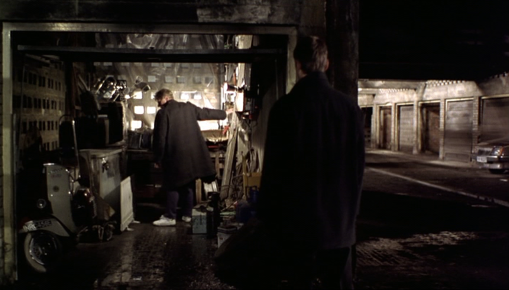
This, as Bird makes clear in the dvd commentary, is a 'homage to Quadrophenia', in which Phil Davis starred eighteen years before:

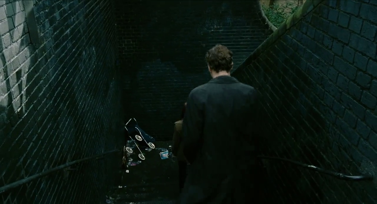
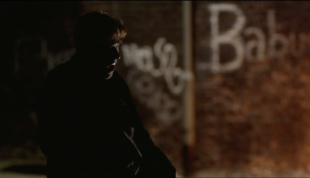
Bird's commentary signals an allusion to her own cinematic past in a later sequence, shot in a tunnel near Fleet Street Hill, E.2:

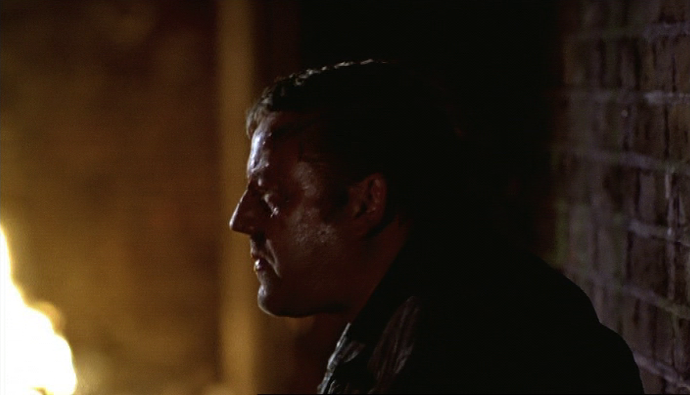
In the background is St Anne's Roman Catholic church on Underwood Road, E.1. The church is lit so it looms symbolically over a scene of conflict between good and evil - the treacherous Dave has the fires of Hell behind him in his close-ups, whereas behind the conscience-troubled Ray is the church:
|
|
Bird adds that the church in the background is a'homage' to her earlier film Priest, which also starred Robert Carlyle - below right, with Liverpool's Catholic cathedral looming in the background:
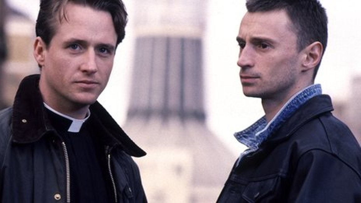
Linus Roache and Robert Carlyle in Priest (Antonia Bird 1994)
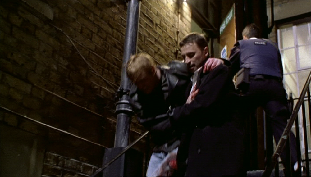
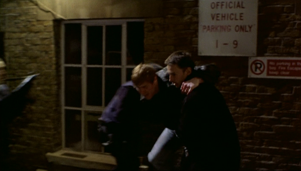
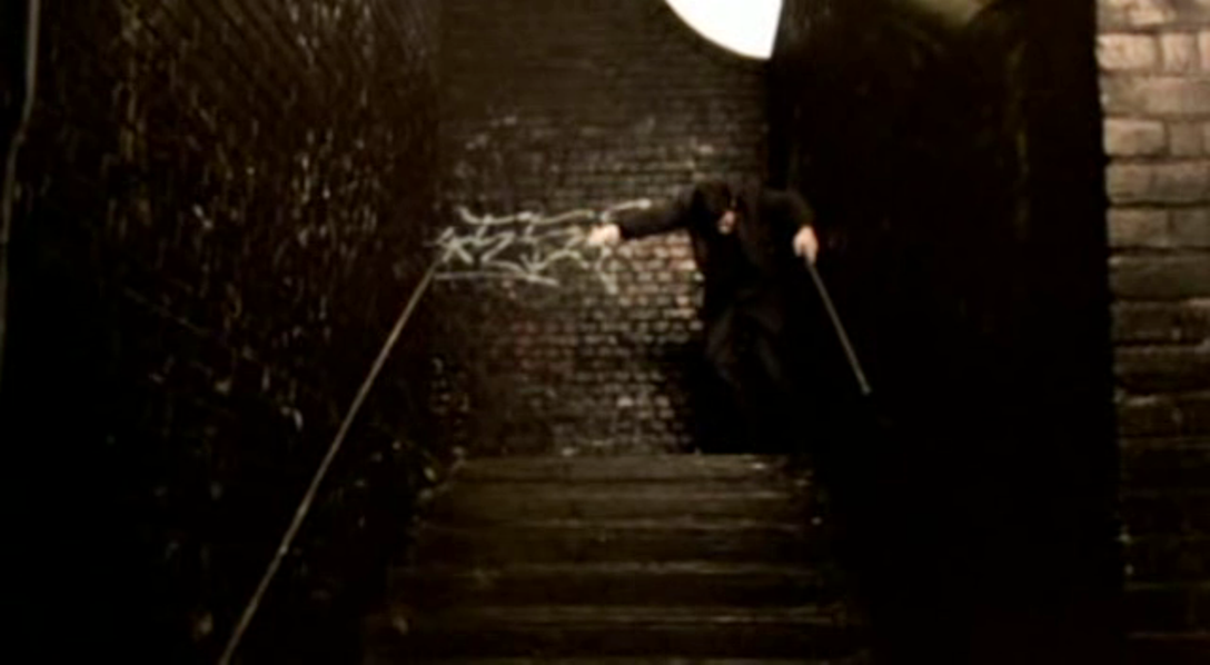
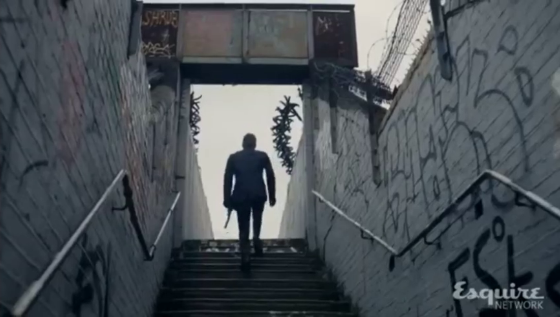
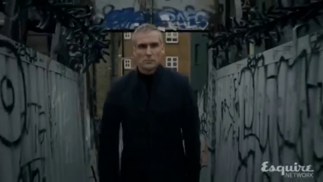
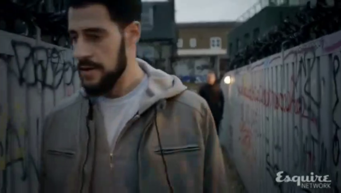
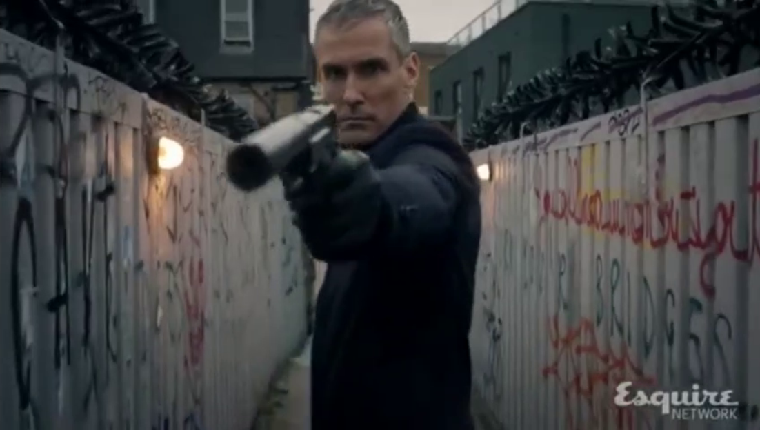
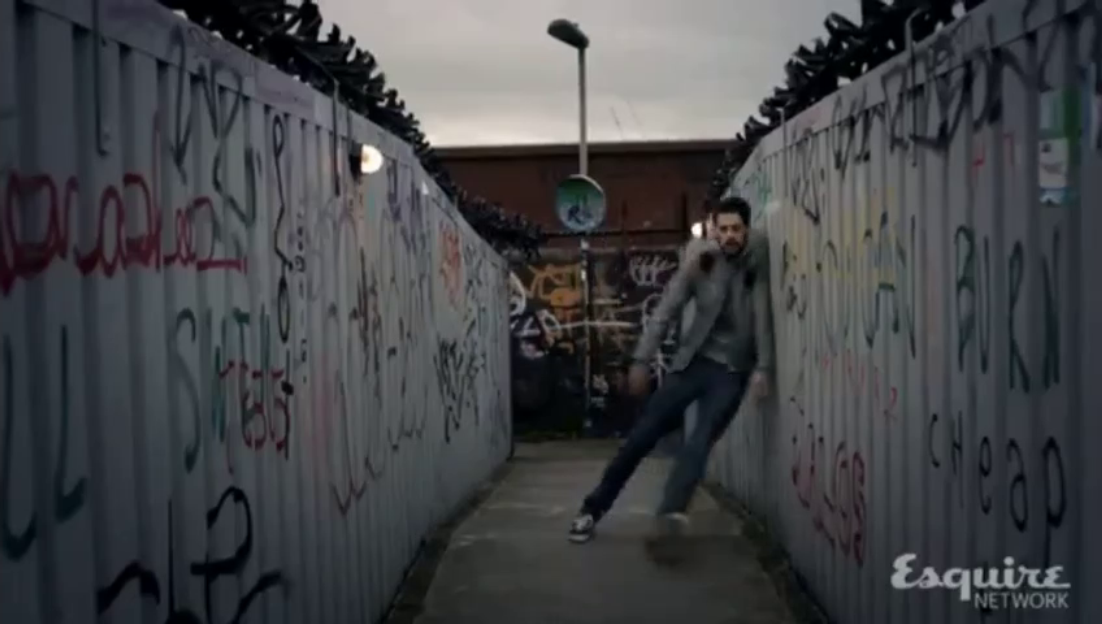
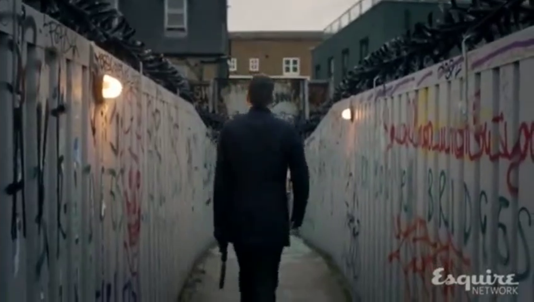
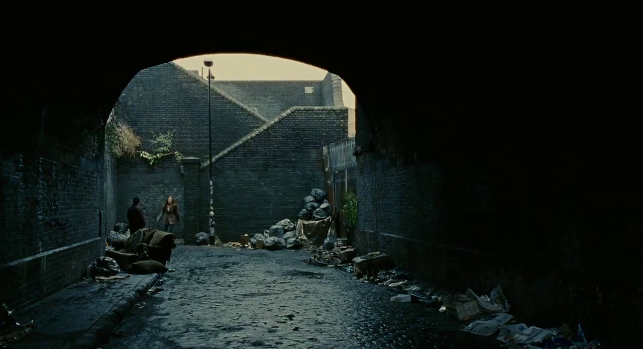
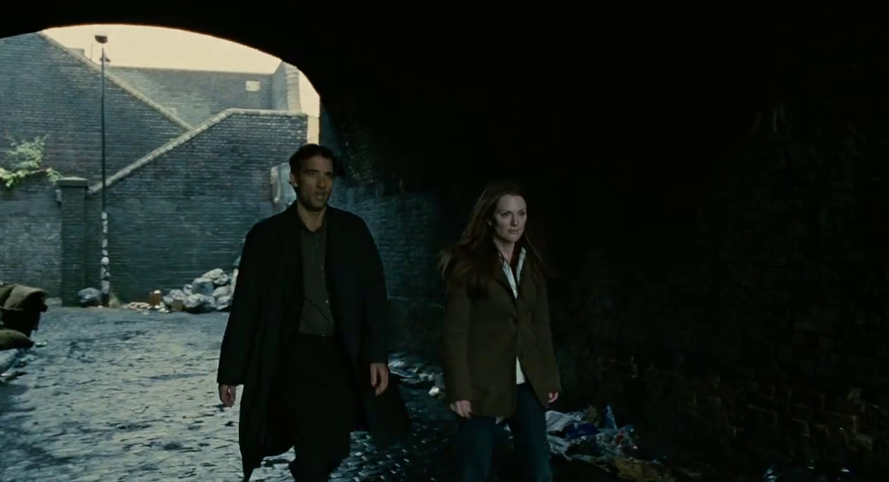
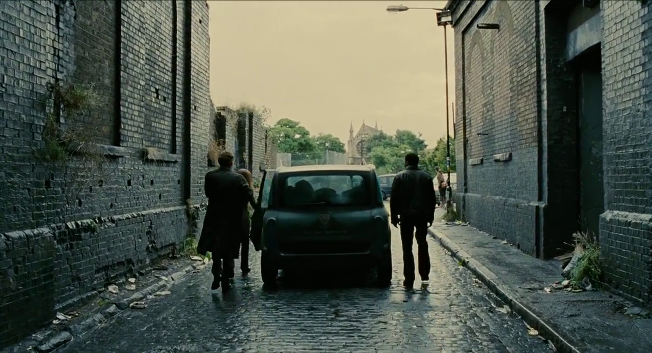
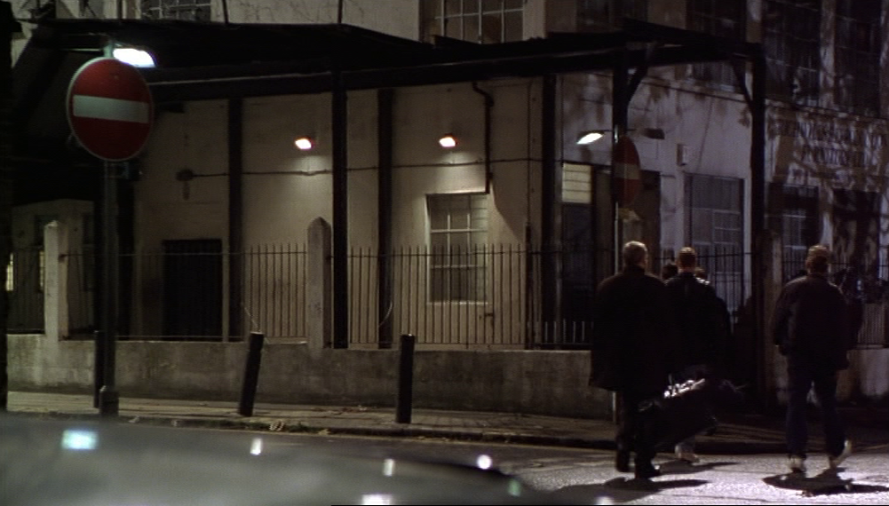
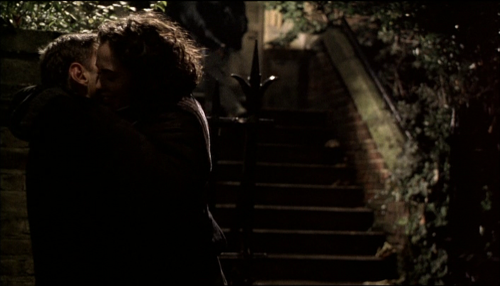
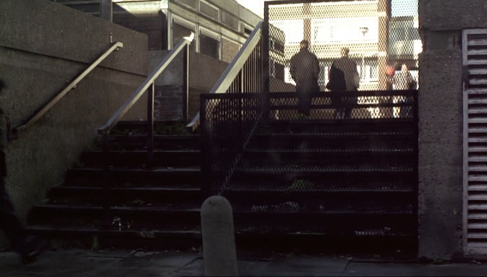
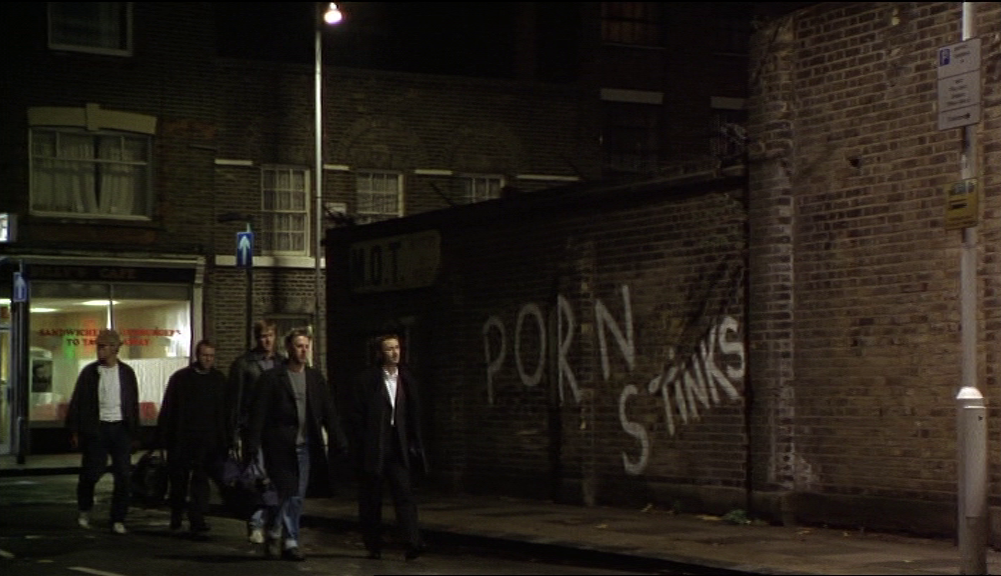
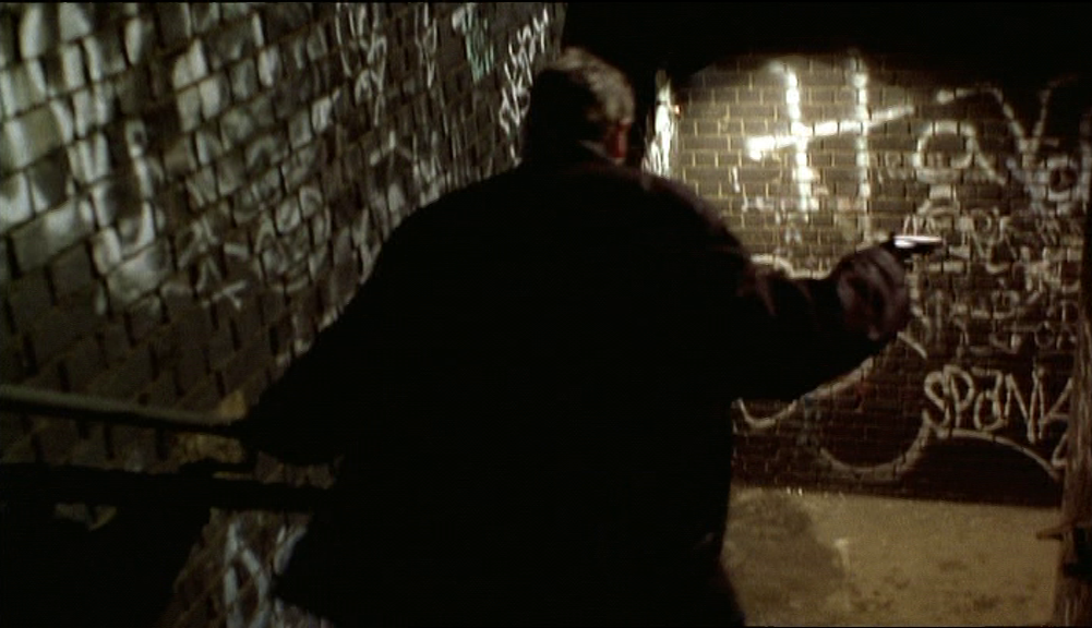
The scene in the tunnel follows on from the confrontation on the bridge from Cheshire Street, as Ray, Julian and Stevie chase Dave down the steps from the bridge to Pedley Street and on to Fleet Street Hill:

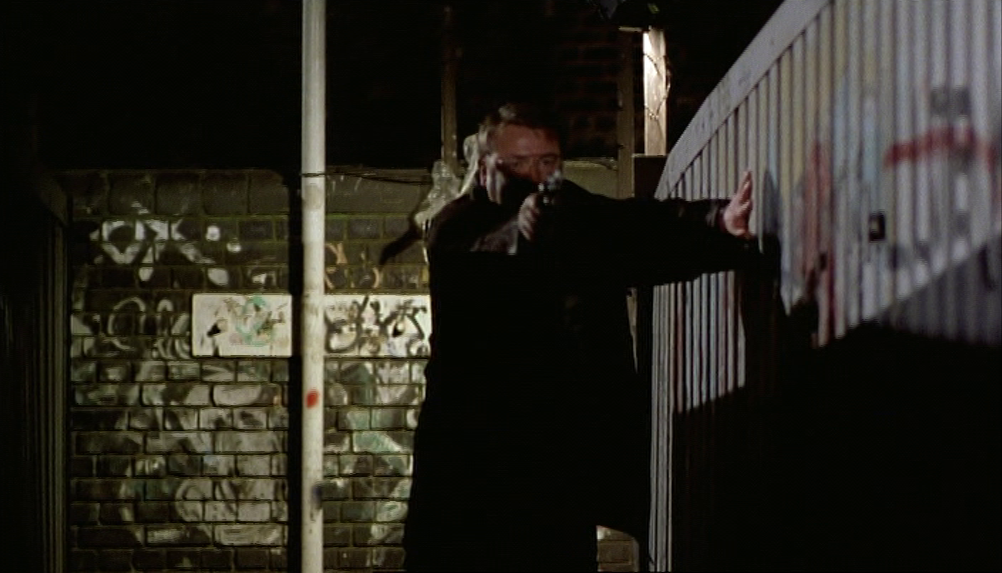
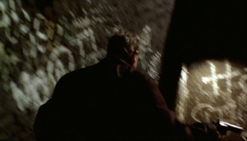
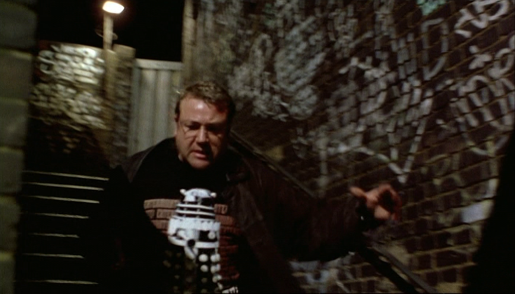
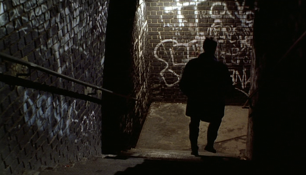
Bird comments that she crossed this bridge every day to work, so that this is a location central to her personal topography. In the period immediately following the release of Face, the location comes to be part of the generalised topography of the London crime film. We see the steps briefly near the opening of Lock, Stock and Two Smoking Barrels (1998):
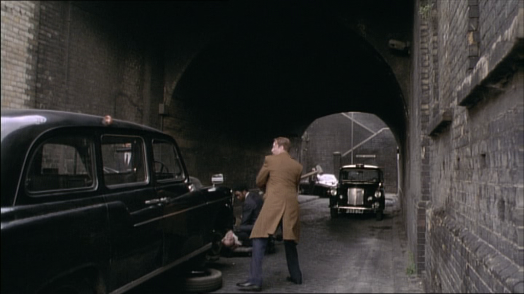
In Gangster No. 1 (1999) a taxi is smashed up and its driver beaten in the tunnel:
In the Bob Hoskins-directed segment of Tube Tales (1998), Ray Winstone returns to the tunnel where he was beaten up in Face; this time he is on the way to commit an admittedly minor crime, getting his son onto a train at Shoreditch without paying a fare:

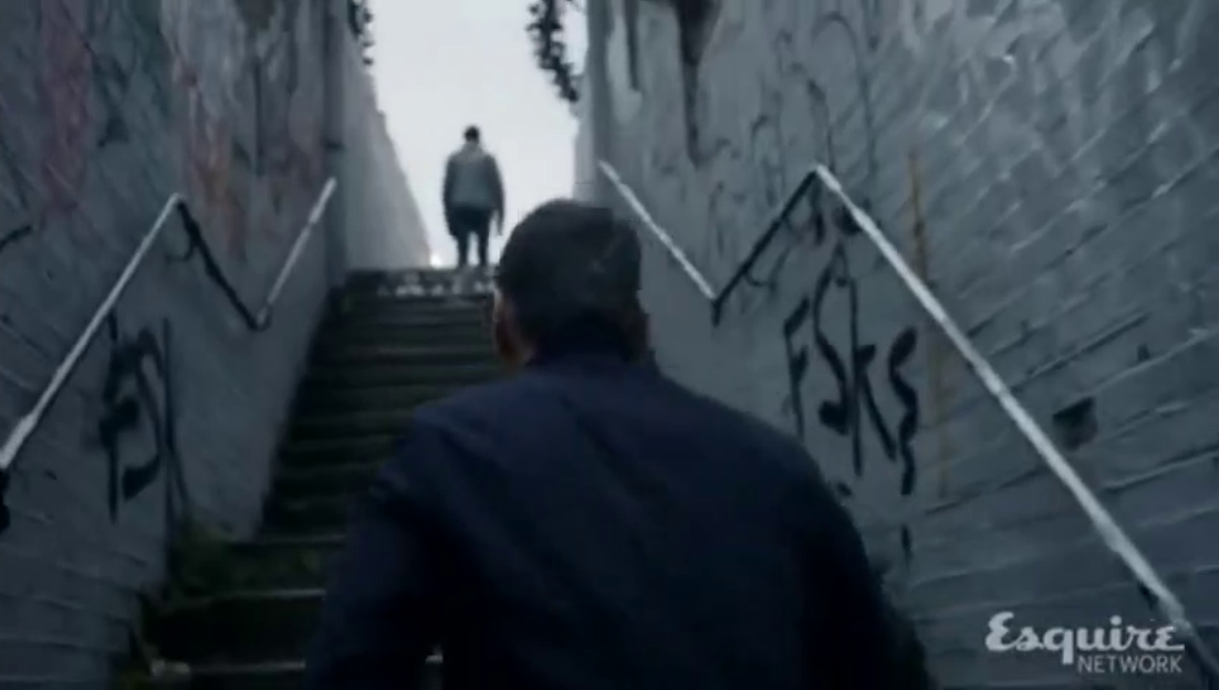
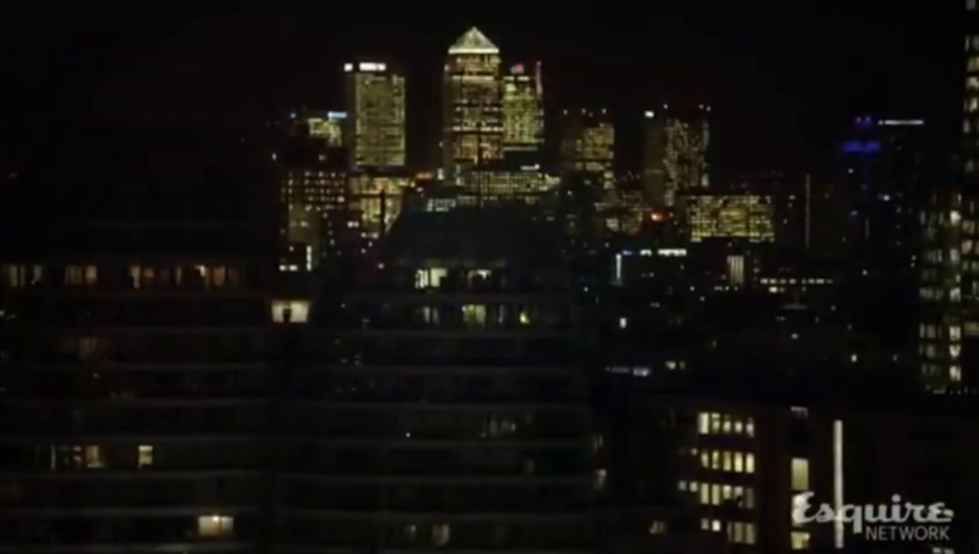
The association of this locale with violent crime is pursued in an episode of the television series Spotless (series 1 episode 7), which like Face contrasts this natural habitat of the violent with the new world of high-rise capitalism, following the murder scene on the railway bridge with a view of Canary Wharf:
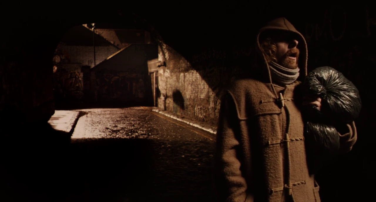
Some at least of these crime-related scenes may be memories of Antonia Bird's use of the locale. That seems less likely to be the case when Simon Pegg's character in A Fantastic Fear of Everything (2012) finds a launderette by the tunnel at Fleet Street Hill:
|
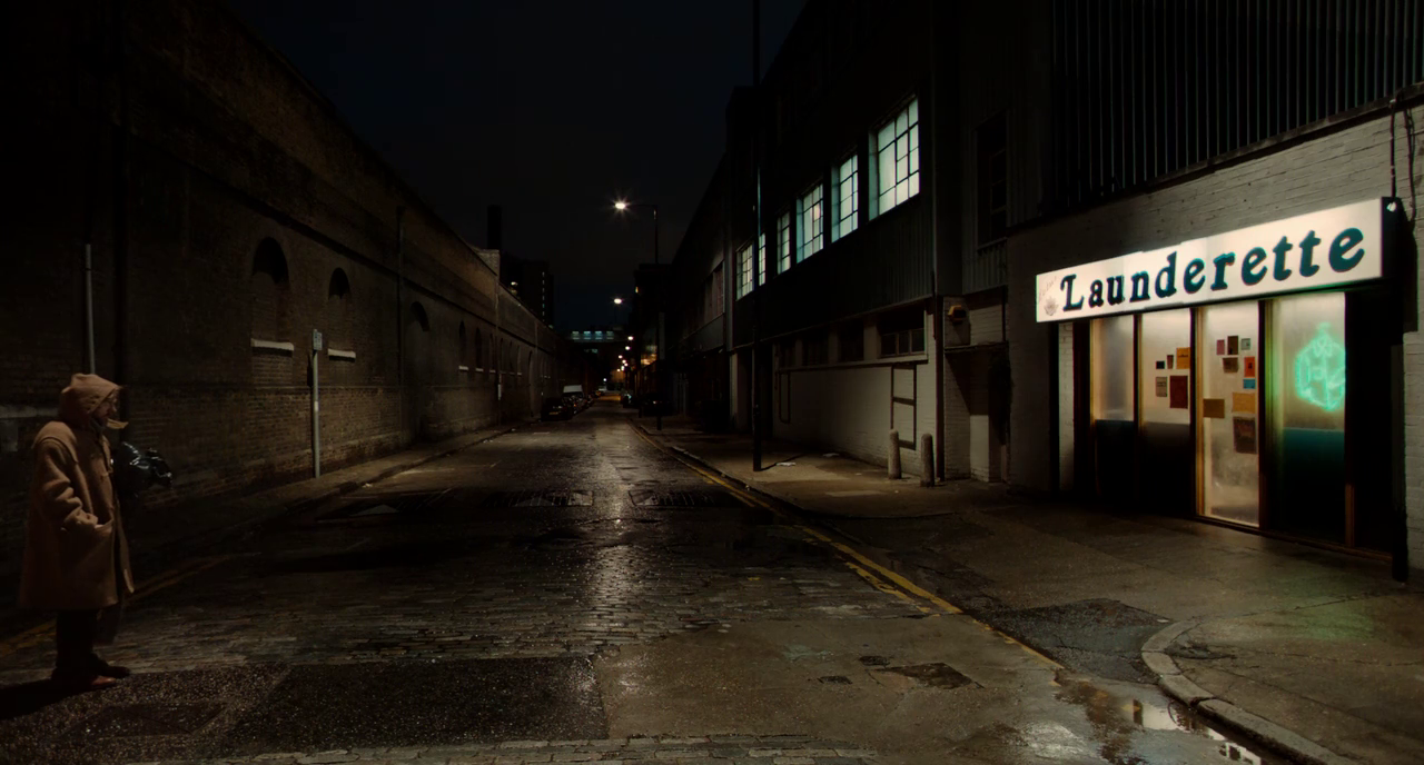
|
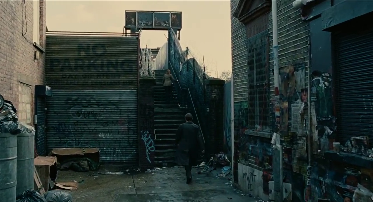
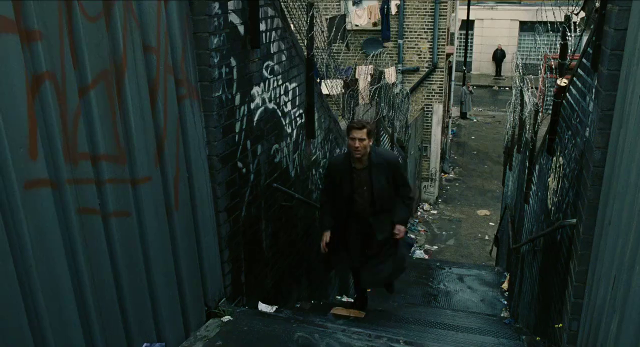
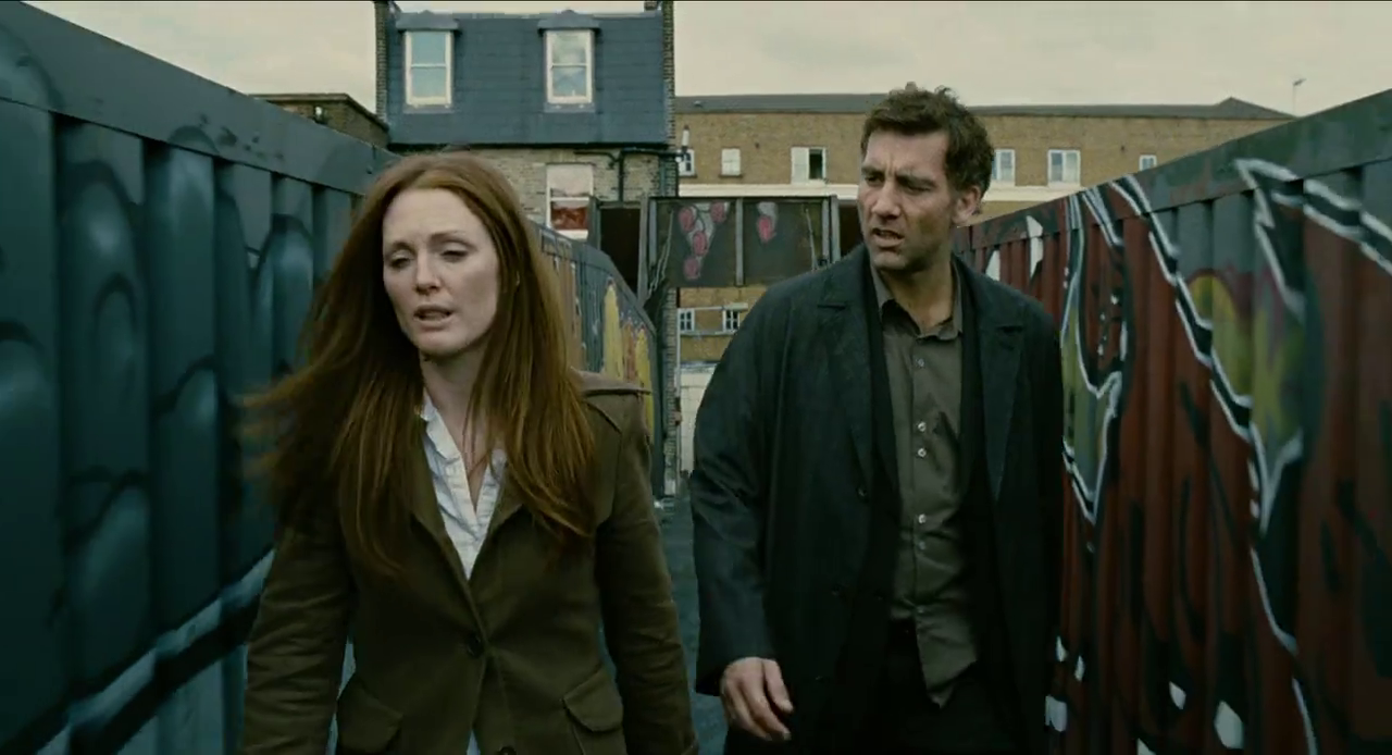
And I am not sure that even so cine-referential a film as Alfonso Cuaron's Children of Men (2006) is remembering Antonia Bird's Face when it sets a sequence here, on the bridge and in the tunnel:

Beginning with Face, film and television have documented the aspect of this locale and also transformed it by association, making it one of London's most distinctive sites of cine-memory.
(The author of the IanVisits blog warns that if we want to see this area in all its glory we need to get there soonish, as the tunnel and footbridge are scheduled to be refurbished and remodelled.)
4/ topographical exactitude
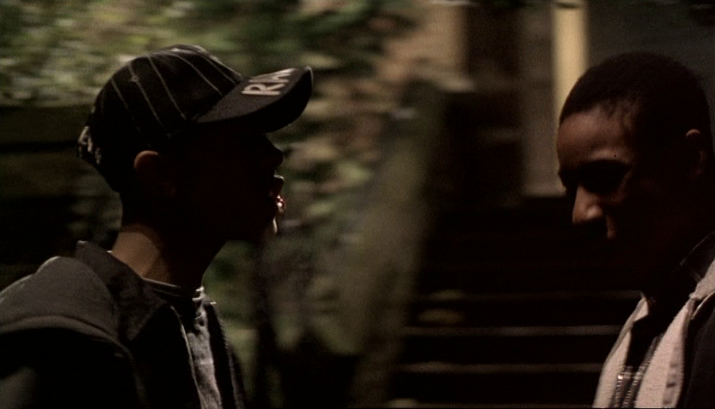
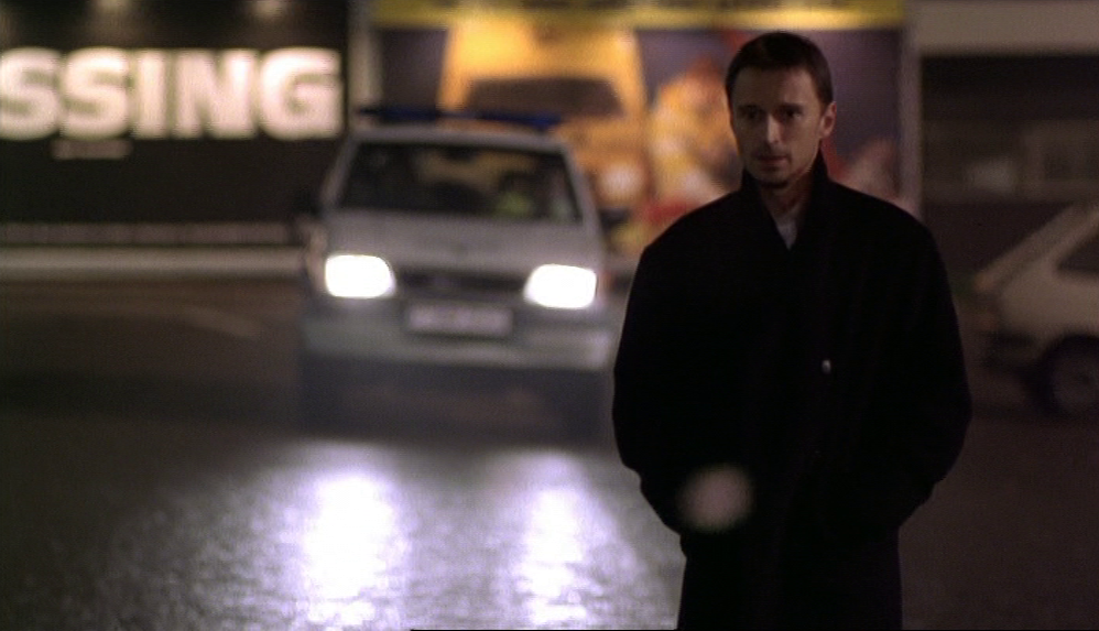
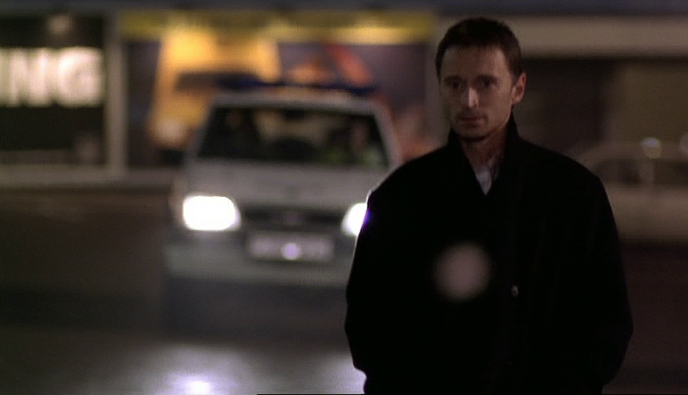
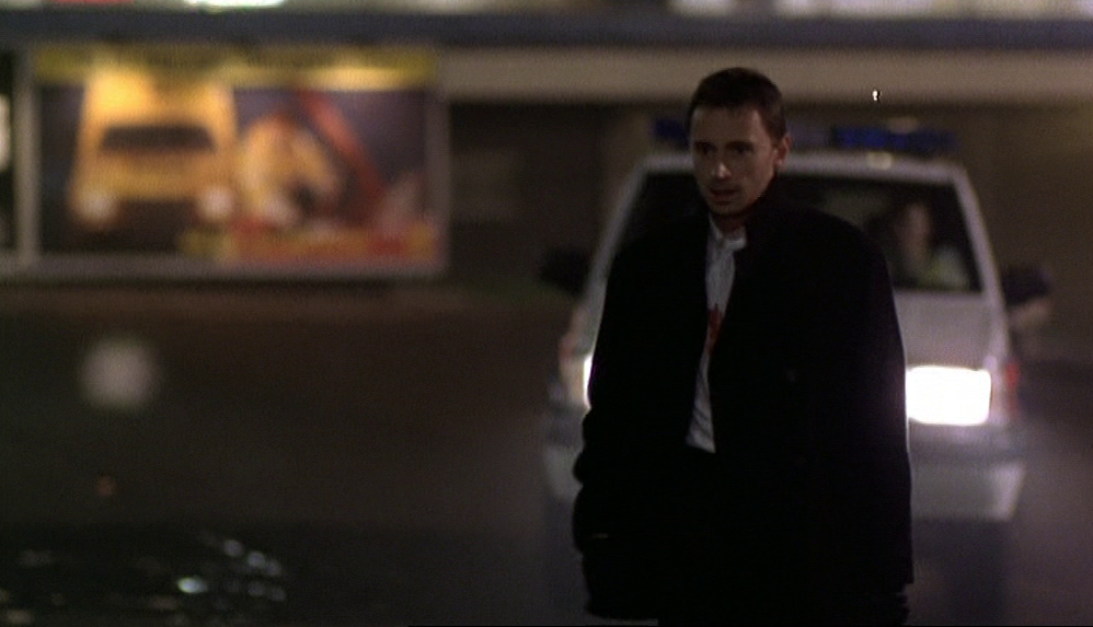
The locations in Face are mostly generic, with occasional signals as to the place's specificity. When Jason is met by Stepney Green underground station, the sign with the station name is seen only briefly and partially:
No effort is made to make this look like the real Stepney Green station on the Mile End Road:
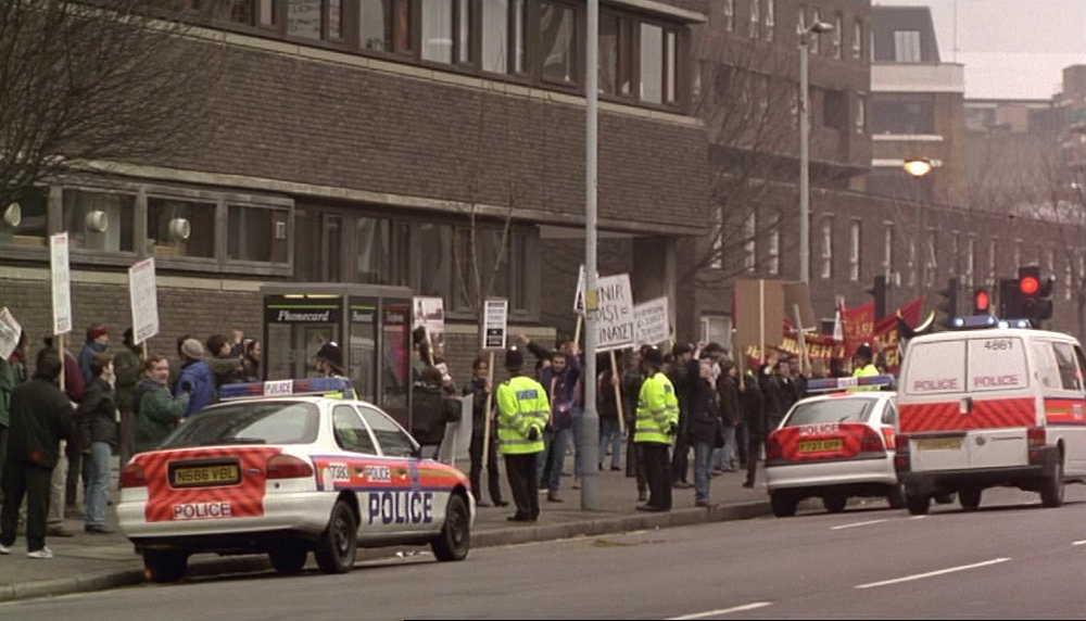
But the station name contributes to the impression that the demonstration happening in the vicinity is somewhere in the East End. A view of that demonstration, actually filmed at the junction of Spencer Street and Goswell Road, E.C.1, shows an 86 bus, destination Romford Station:

As Ian Armstrong's wonderful 'London Bus Routes' website informs me, the 86 used to go as far as Limehouse and Mile End, but by this time was only operating between Stratford and Romford, so its presence here signals an unspecific eastness. When we see the demonstration the next day it is again on Goswell Road but Ray and Connie leave it, go down some steps on Commercial Road and find themselves at Limehouse Basin. This again is creating the impression that the demonstration is in East London, without aspiring to topographical exactitude:

In both Bob McCabe's Sight and Sound interview with Antonia Bird and Philip Kemp's review in the same issue (October 1st 1997), topographical exactitude is presented as a defining characteristic of the film:
|
|
Despite what Bird says, only one of the twenty or so locations shown is technically in Bethnal Green - Bill and Linda's house opposite Mile End Hospital. The real Stepney Green station and the real Palm Tree pub are in Bethnal Green, but Bird uses substitutes for them, in Clerkenwell and Silvertown respectively. The East End shown in Face covers a broader specific territory and is, overall, a generic East End made up of disparate parts.
And despite what Philip Kemp says, some streets distant from each other are 'spatchcocked together'. We have already seen Goswell Road E.C.1 and Commercial Road E.14 presented as two parts of the same place, likewise for Hillfield Park N.10 and Duckett Road N.4:
And despite what Philip Kemp says, some streets distant from each other are 'spatchcocked together'. We have already seen Goswell Road E.C.1 and Commercial Road E.14 presented as two parts of the same place, likewise for Hillfield Park N.10 and Duckett Road N.4:

These distant streets are not brought together out of laziness but, I would argue, in order to reinforce certain more general impressions about the topography of London. The Muswell Hill location adds a further view over London from its Northern heights and suggests the greater power of those who live there; the proximity of the Commercial Road and Limehouse Basin to the site of the demonstration locates political activism within the East End, as something integral to it.
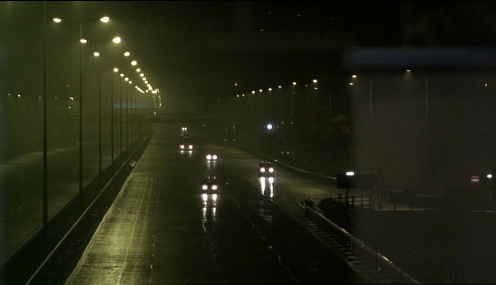
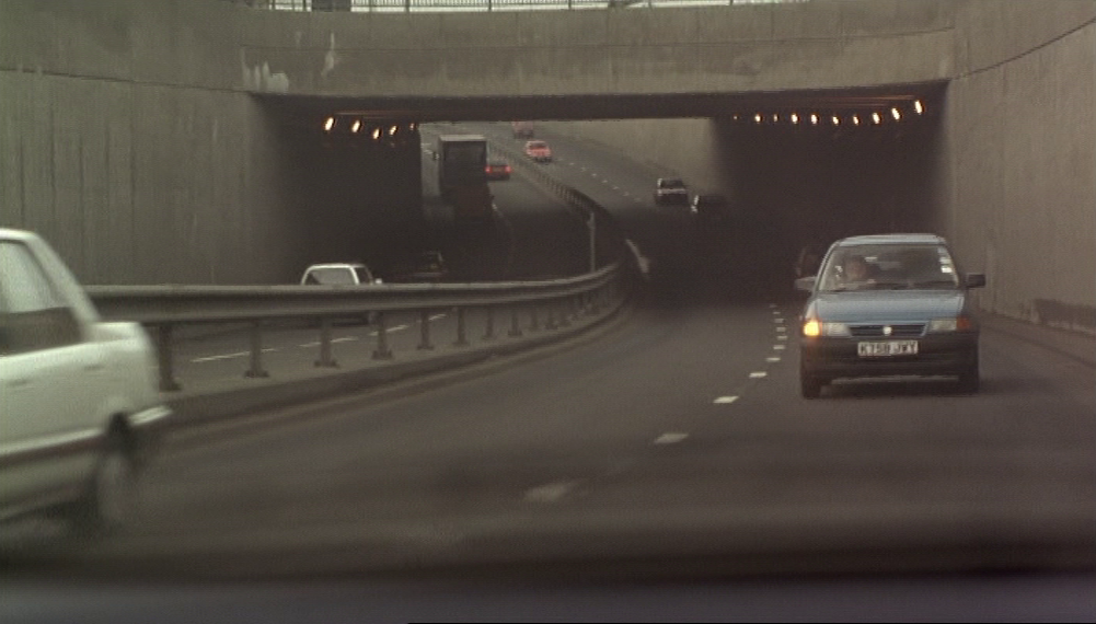
Philip Kemp's claim that 'the geography of each journey in Face makes perfect sense' cannot be substantiated. There are, in total, ten journeys represented in the film. The first shows Dave and Ray driving; this journey accompanies the credits and shows - Bird tells us in the commentary - the Limehouse Link Tunnel, though it isn't clear what direction they are going in, and anyway since we don't know the location of the housing estate they go to we cannot say if the journey's geography makes sense.
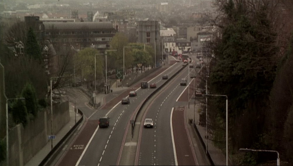
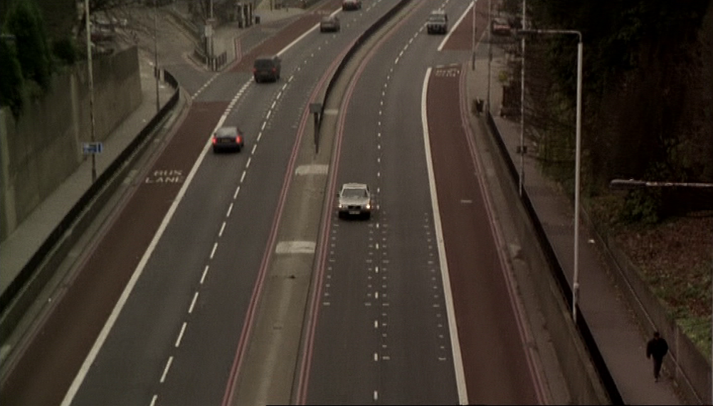
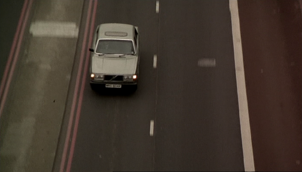
We can say of the second journey, gathering up the gang members for the heist, that its geography makes no sense at all. We see Ray and Stevie in the car against an unreadable background, then they arrive at Highgate to collect Ray. This is followed by a view over London from Archway Bridge that tilts to show their car heading up the Archway Road and under the bridge:
Philip Kemp's claim that 'the geography of each journey in Face makes perfect sense' cannot be substantiated. There are, in total, ten journeys represented in the film. The first shows Dave and Ray driving; this journey accompanies the credits and shows - Bird tells us in the commentary - the Limehouse Link Tunnel, though it isn't clear what direction they are going in, and anyway since we don't know the location of the housing estate they go to we cannot say if the journey's geography makes sense.
We can say of the second journey, gathering up the gang members for the heist, that its geography makes no sense at all. We see Ray and Stevie in the car against an unreadable background, then they arrive at Highgate to collect Ray. This is followed by a view over London from Archway Bridge that tilts to show their car heading up the Archway Road and under the bridge:
The car is heading northwards, i.e. the wrong way.
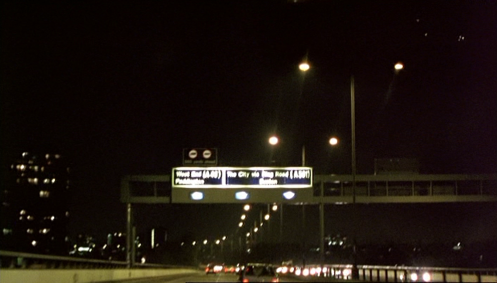
After Highgate they are in Clerkenwell, Liverpool Street and Piccadilly Circus before arriving at their base near Cambridge Heath, from which they will set out for the robbery in Hounslow:
After Highgate they are in Clerkenwell, Liverpool Street and Piccadilly Circus before arriving at their base near Cambridge Heath, from which they will set out for the robbery in Hounslow:
The heist itself involves four separate journeys - from the flop to the garage with the truck; from the garage to Hounslow; from Hounslow to where they switch vehicles near the gasometer; from the gasometer back to the flop - for which the only clear topographical points are the flop near Cambridge Heath, the security depot in Hounslow and the gasometer in Wood Green.
The sixth journey shows Dave and Ray driving from the flop to Court Street off the Whitechapel Road, where they free Julian from the boot of their car. This journey via the Westway makes sense if we forget where the flop actually is and accept that it is supposed to be in West London. Depositing Julian in Whitechapel means he can reach his home on the Isle of Dogs by his own means, taking the East London Line from Whitechapel Station to Surrey Quays, and Ray can carry on up Whitechapel Road to his home in Mile End:
The sixth journey shows Dave and Ray driving from the flop to Court Street off the Whitechapel Road, where they free Julian from the boot of their car. This journey via the Westway makes sense if we forget where the flop actually is and accept that it is supposed to be in West London. Depositing Julian in Whitechapel means he can reach his home on the Isle of Dogs by his own means, taking the East London Line from Whitechapel Station to Surrey Quays, and Ray can carry on up Whitechapel Road to his home in Mile End:
Julian heading towards Whitechapel Station
|
Ray heading towards Mile End Road
|
The seventh journey, from the pub - actually in Silvertown, fictionally in Mile End - to Ray's home in Mile End, is not shown in enough detail to allow a measure of the geographic sense it makes.
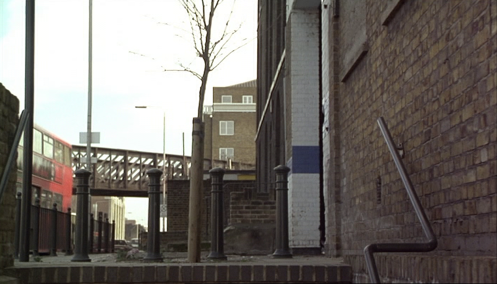
The eighth journey, starting on Old Ford Road, E.3, heading west, continuing along the A12 near Bromley-by-Bow, heading south towards the Blackwall Tunnel, to end up in Harringay (via Muswell Hill), makes no sense whatsoever:
The eighth journey, starting on Old Ford Road, E.3, heading west, continuing along the A12 near Bromley-by-Bow, heading south towards the Blackwall Tunnel, to end up in Harringay (via Muswell Hill), makes no sense whatsoever:
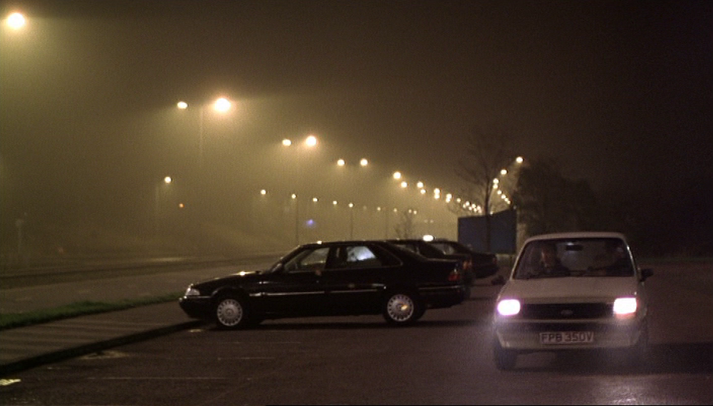
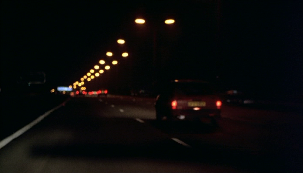
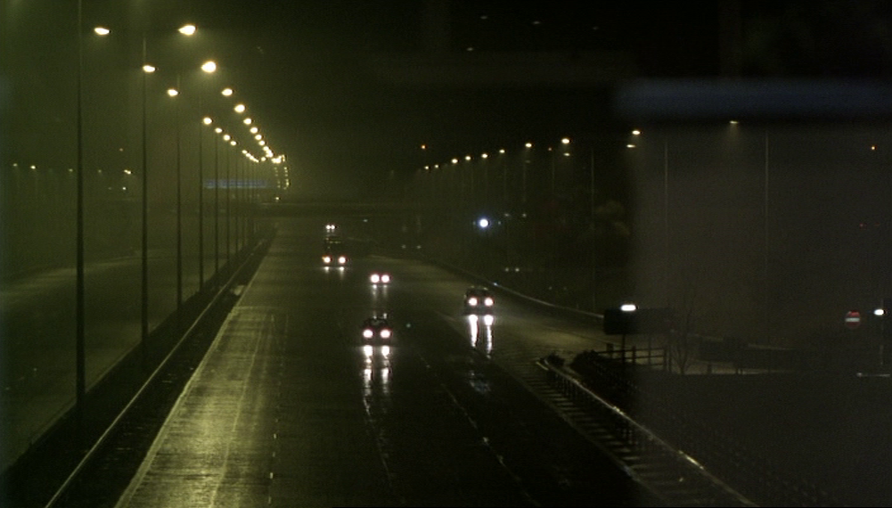
The ninth and tenth journeys are away from London, firstly on the M1 towards Leicester Forest East services:
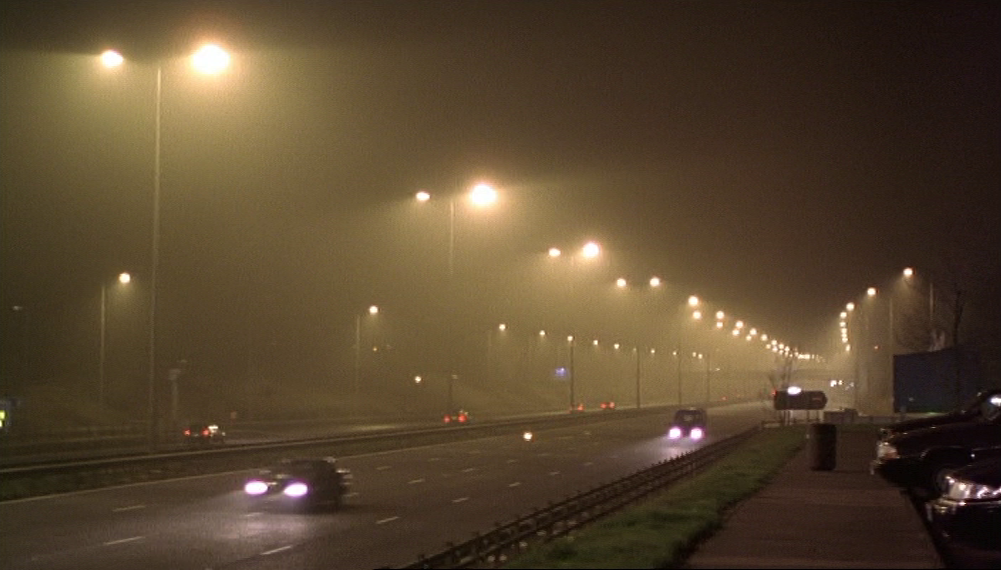
And then driving away from there, the signage unreadable, their destination unspecified:
5/ a non-place
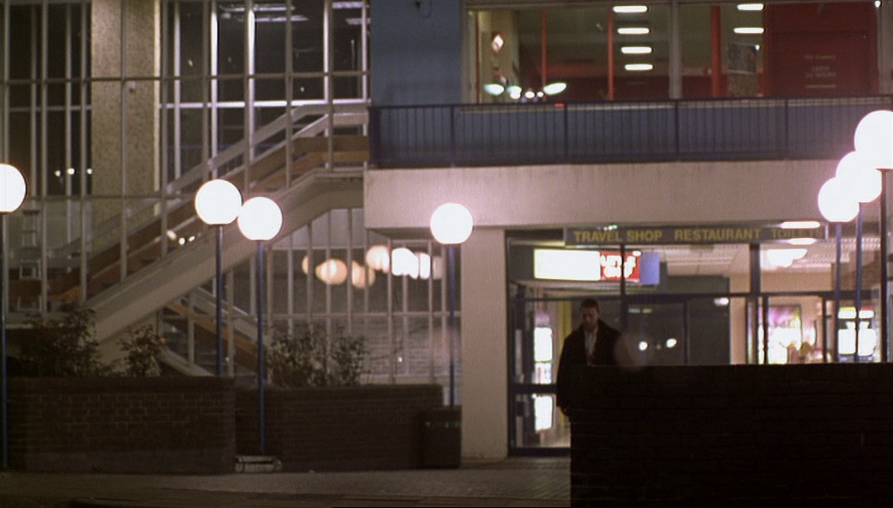
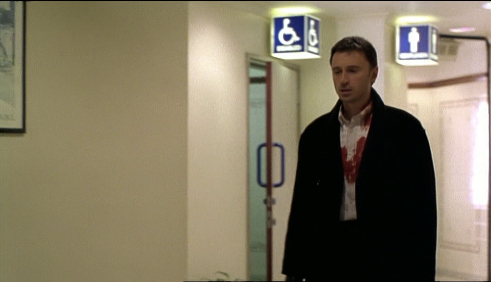
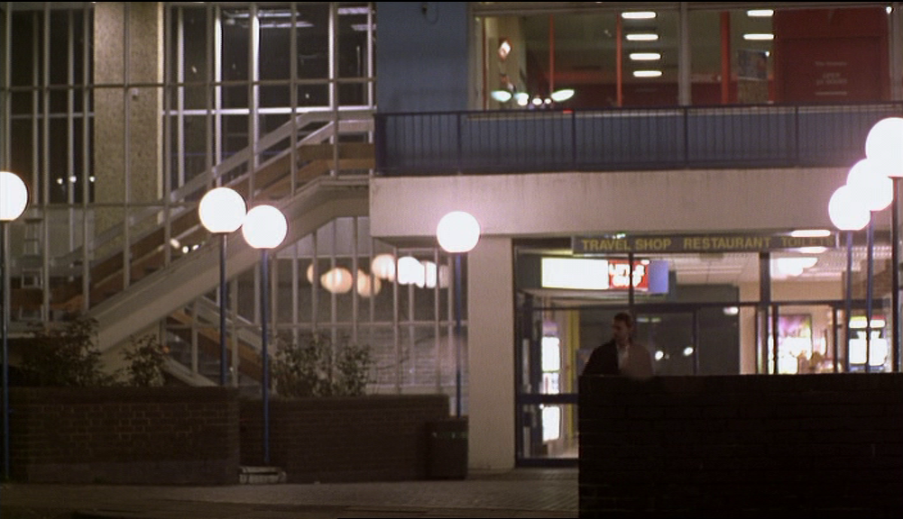
The last actions of the film take place at a service station alongside a motorway. Its difference from places shown hitherto is that it is not London, a difference clearly marked in the narrative ('I'm gonna be at Leicester East service station off the M1 tonight, late...'). This topographical otherness makes it an apt site for the narrative's resolution, as a place from which which to go and 'find somewhere to start again...'.
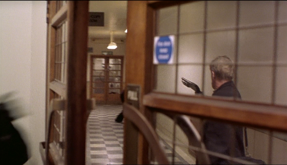
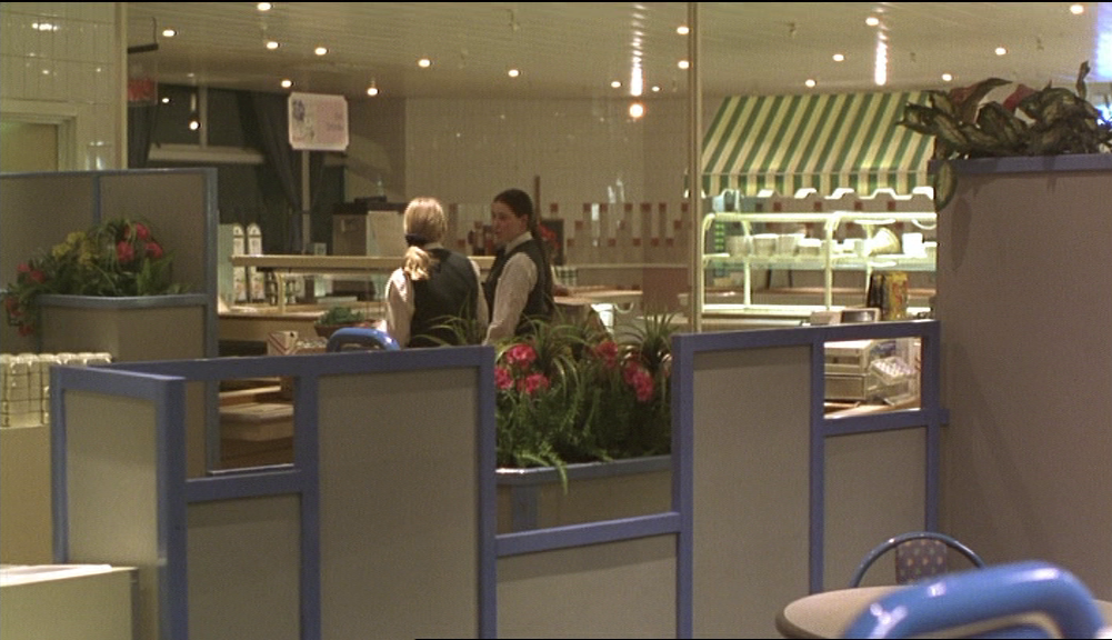
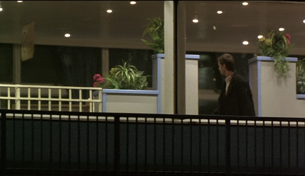
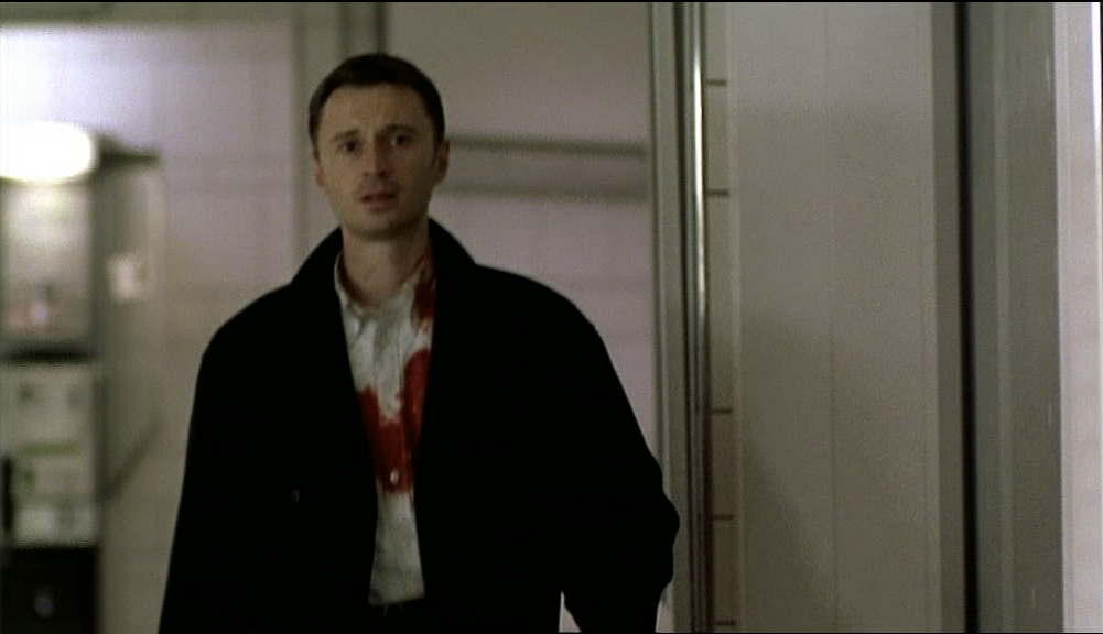
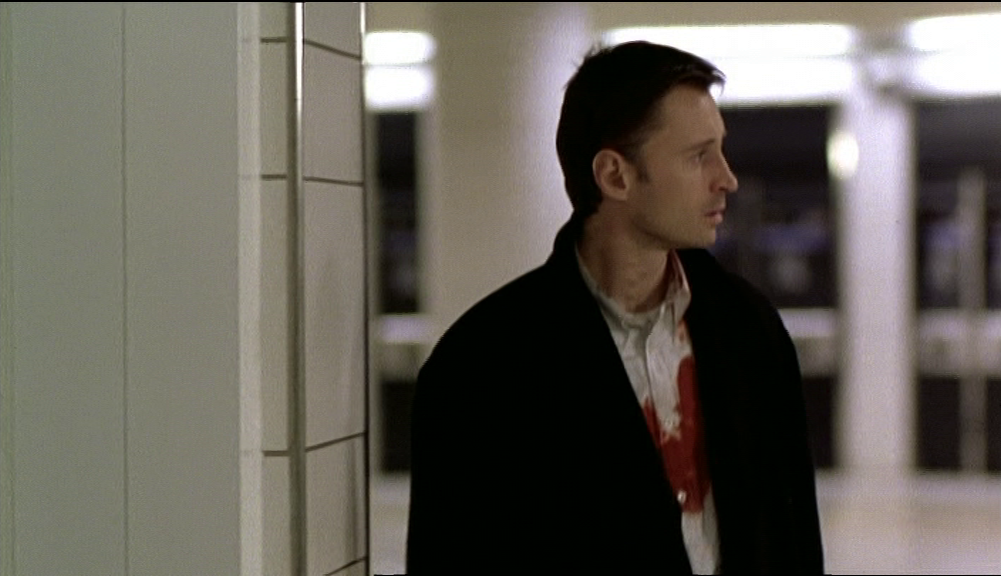
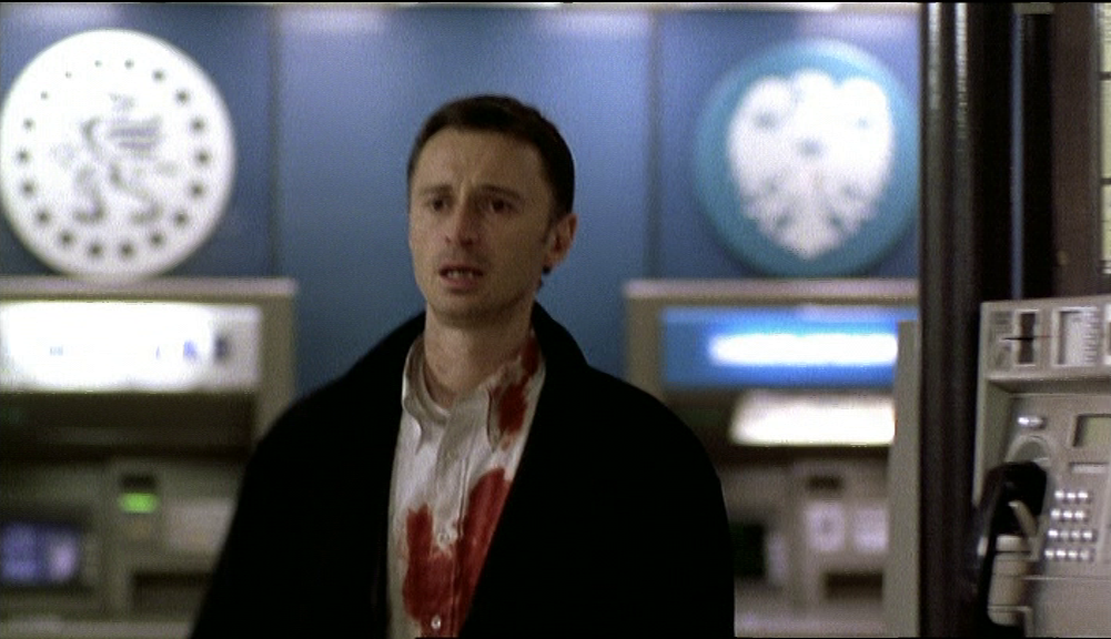
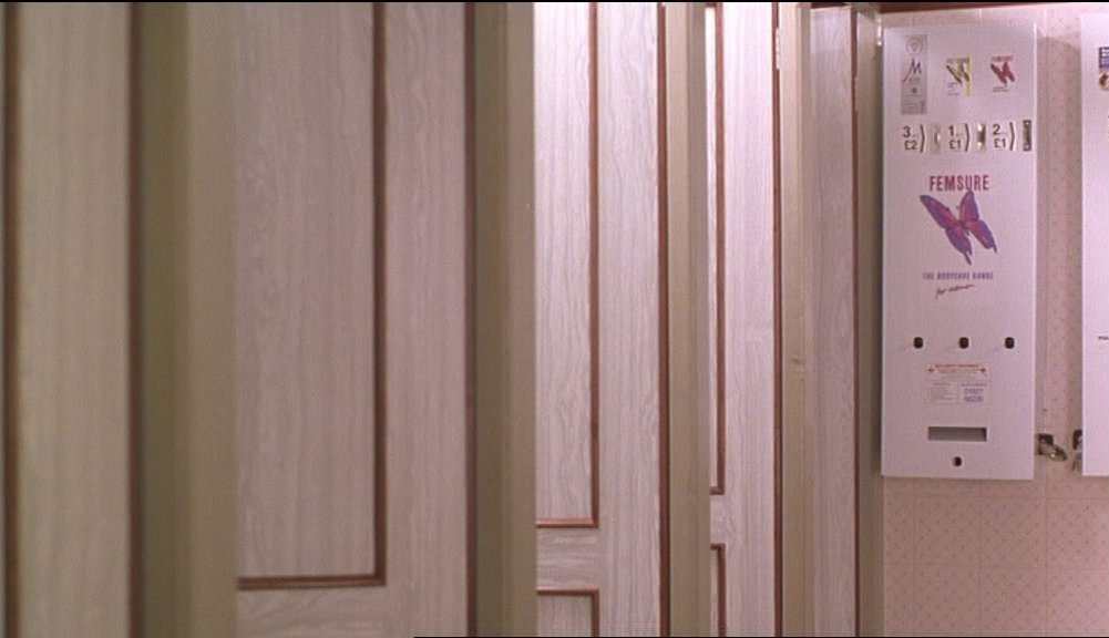
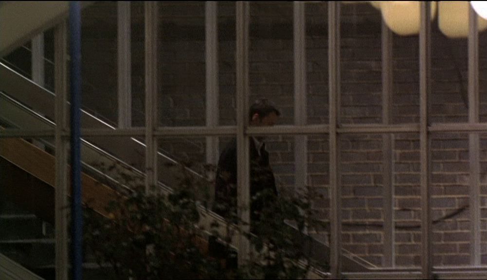
Before that resolution happens we see Ray wandering through the service station looking for Connie. The mise-en-scène combines elements of the actual service station with interiors filmed elsewhere (in Liverpool Street underground station), confecting a maze-like and anonymous space to signify how lost, at this point, Ray is:
Before that resolution happens we see Ray wandering through the service station looking for Connie. The mise-en-scène combines elements of the actual service station with interiors filmed elsewhere (in Liverpool Street underground station), confecting a maze-like and anonymous space to signify how lost, at this point, Ray is:


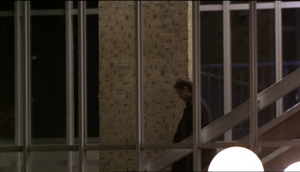
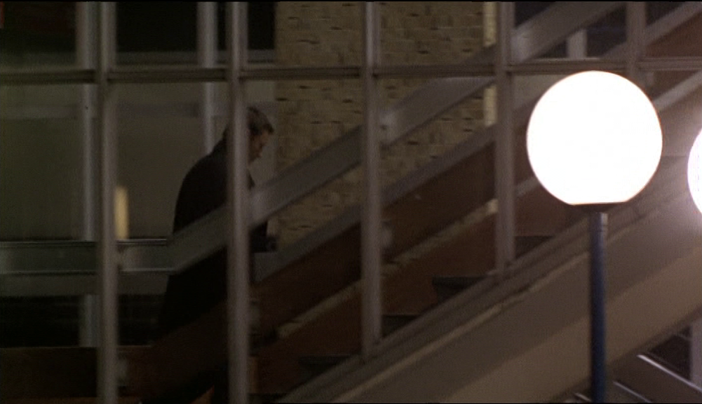

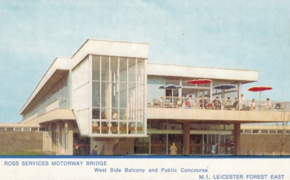
It would be tempting to read this last space of the film as a classically Augéan non-place, so that Ray embodies the paradox whereby 'the stranger, lost in a land he doesn't know, finds his way only in the anonymity of motorways, service stations...' (Marc Augé, Non-lieux, 1992, p.133). But, as Joe Moran points out, 'the notion of the non-place, which Augé defines by its blank homogeneity, also needs to be understood as a site of cultural politics' (Reading the Everyday, 2005, p.94). I am not going to argue that Face does more with this space than find in it the possibility of a new beginning beyond the historical encroachments of London, but it is important to remember, as Moran does in his book On Roads: a Hidden History, that this particular service station has a history, and has indeed been a site of cultural politics. It has a history of violence, as a meeting place for rival football hooligans in the 1970s (see here), but before that it had gained a place in the history of luxurious supermodernity: 'In 1966 the frozen-fish company Ross opened the Terence Conran-designed Captain's Table restaurant at Leicester Forest East on the M1, with serving staff in sailor suits, décor like an ocean liner and an open balcony on to the motorway like a ship's deck' (On Roads, 2010, p.129).

|
|
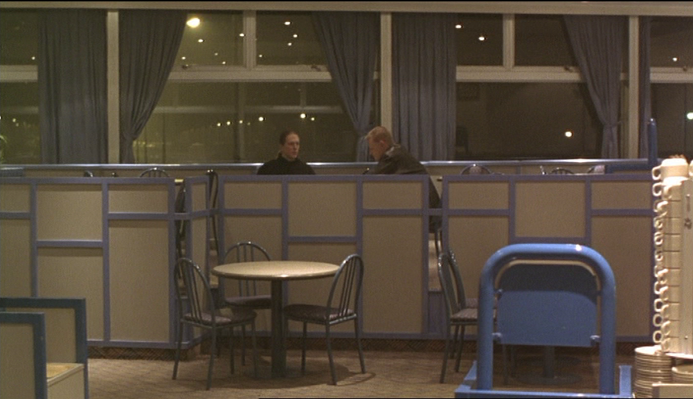
The abandonment of such aspirations to luxury is apparent in Face - I don't think this is Terence Conran's original décor:

Though the film does enjoy, as did the service station's first customers, the spectacle of M1 traffic viewed from above the motorway:
The dvd-commentary tells us that they came all the way here, to Leicester East, just for the view from the bridge. They could, Ray Winstone points out, have made do with somewhere nearer, for example the service station at South Mimms, on the M25 (the motorway that encircles London).
The shot above calls back to the film's earlier view from a bridge, below, looking over London from Highgate. It looks like that shot's topographical opposite, a view over nothing, whereas the other showed us the everything that is London:
The shot above calls back to the film's earlier view from a bridge, below, looking over London from Highgate. It looks like that shot's topographical opposite, a view over nothing, whereas the other showed us the everything that is London:
And yet the two bridge views have in common the fact that they observe traffic heading North, which by the end of the film means heading out of the narrative.
An Augéan approach to the end of Face would read the bridge alongside other features that mark the location as a non-place - motorway, car park, self-service restaurant, 'travel shop', ATMs... It is perhaps symptomatic that the film suppresses the 'Forest' in the service station's name, effacing, as Moran puts it, the implicit meanings and associations of service station names, 'what Certeau calls a "second, poetic geography" which insinuates itself into the functionalist logic of place names' (Reading the Everyday, p.107).
The contrast between Leicester Forest East, this alien space, and the real places of London seems absolute. The restaurant-bridge over the M1 isn't (yet at least) the kind of memory site that we saw in the footbridge crossing railway lines between Cheshire Street and Pedley Street, or the contiguous railway bridge that forms the tunnel at Fleet Street Hill. The motorway is anonymous, the other of every London street we have seen in the preceding 100 minutes of Face.
The contrast between Leicester Forest East, this alien space, and the real places of London seems absolute. The restaurant-bridge over the M1 isn't (yet at least) the kind of memory site that we saw in the footbridge crossing railway lines between Cheshire Street and Pedley Street, or the contiguous railway bridge that forms the tunnel at Fleet Street Hill. The motorway is anonymous, the other of every London street we have seen in the preceding 100 minutes of Face.


Or, rather, of almost every London street.
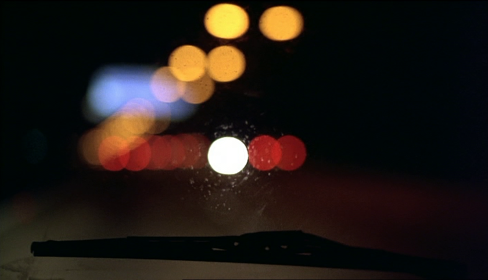
Though I am not saying they aren't beautiful, these views of the M1 are abstract and generic, signifying a modernity of minimal topography:
Though I am not saying they aren't beautiful, these views of the M1 are abstract and generic, signifying a modernity of minimal topography:

|
|
But for the viewer at this, the film's endpoint, they are not entirely abstract. Associations with other places, seen before in the film, are triggered. In the course of the preceding driving sequences (already enumerated above), there are four views of analogous dual carriageways. Here are the road leading into the east entrance of the Limehouse Link Tunnel, E.14, and the Blackwall Tunnel Northern Approach, looking north, beneath the Bow Roundabout, E.3:
|
|
These views are the Westway, W.2, heading east into London, near Westbourne Park, and the North Circular Road at Brent Cross, N.W.2, heading west:
|

|
The closing sequence of the film is the culmination of a particular driving motif whereby the spaces driven through are without specificity save for signage. I would include in the instances of this motif the end of the shot taken from Archway Bridge, after it has plunged to observe the protagonists' car. This shot on its own articulates the full context of this driving motif, passing down a scale of representations from the panorama over London, showing firstly in the distance the towers of the City (recognisable despite being pre-Gherkin and pre-Shard) and in the mid-ground to the right the Archway Tower (now remodelled beyond recognition). It then shows other roadside buildings familiar only to locals (on the left the Miranda Estate and in the middle Archway Heights, now demolished and replaced), to end with a view of roadway shorn of all place-ness:
Somewhere along this scale of representations should figure the place from which the shot is taken, Archway Bridge, knonw locally as Suicide Bridge. Built exactly 100 years before the making of Face, the bridge is a presence even if it is not shown. Face avoids the kind of picturesqueness that sight of its distinctive ornamentation would bring. Though she is interested in bridges, Antonia Bird is not interested in the twee place-ness of, say, Anthony Minghella's Truly, Madly, Deeply (1990), where a similar downward pan shows the same view over London but also shows the bridge:
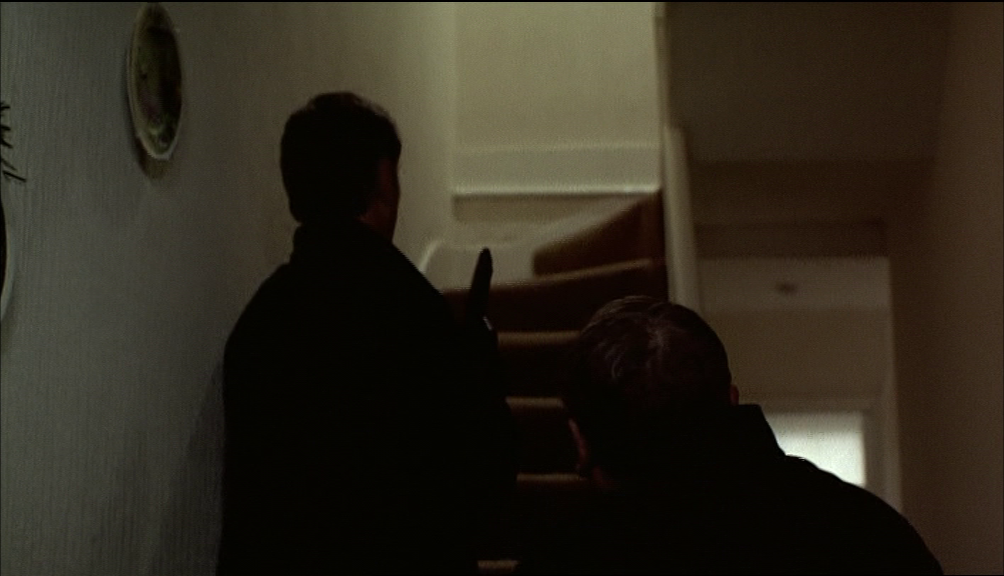
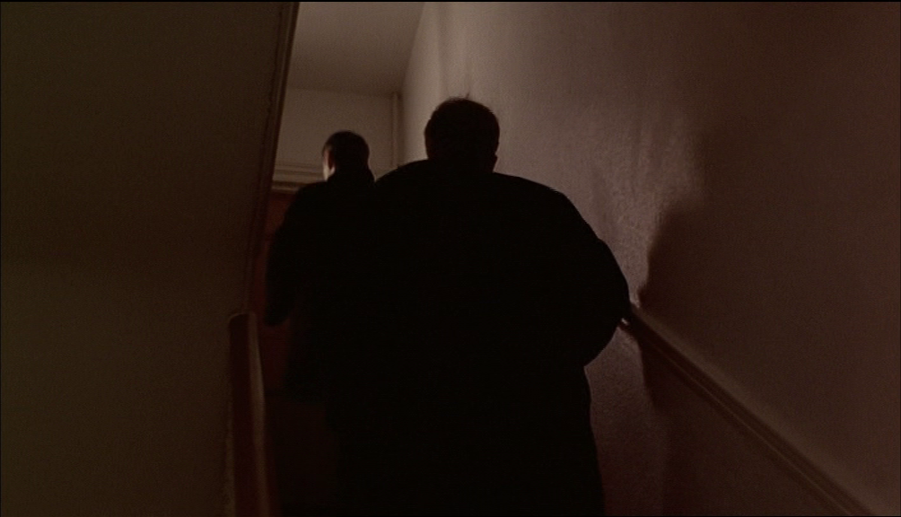
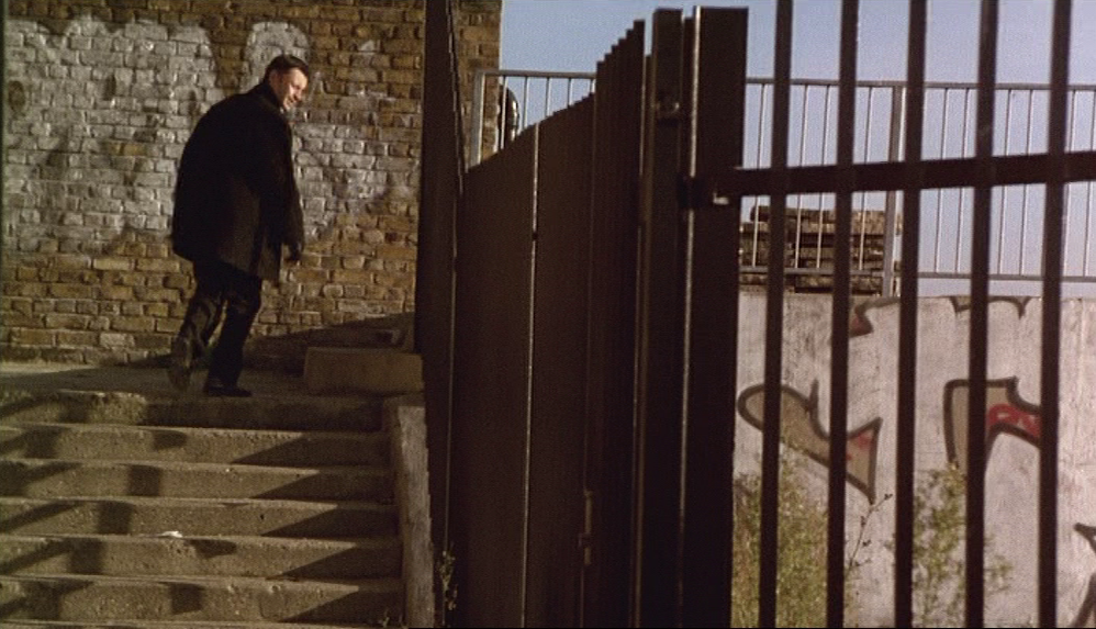
Like the place-less roadway, the bridge (view of or from) is a motif with a final recurrence in the final sequence:


Stairways also likewise:
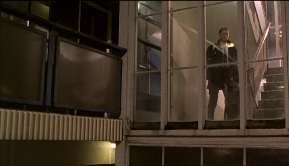
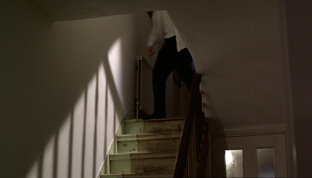

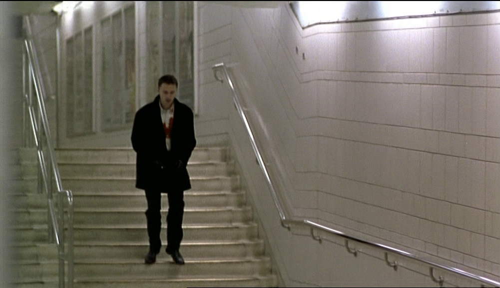


The ubiquity of stairways in life might lead us to conclude that their ubiquity in the film is just an obvious effect of reality, but it is the matching of the film's first and last buildings, and their stairways, that makes me see these as part of a formal pattern through the film:


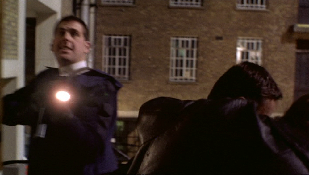
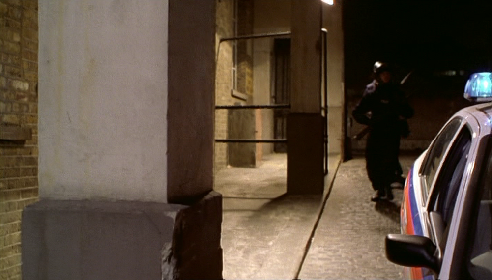
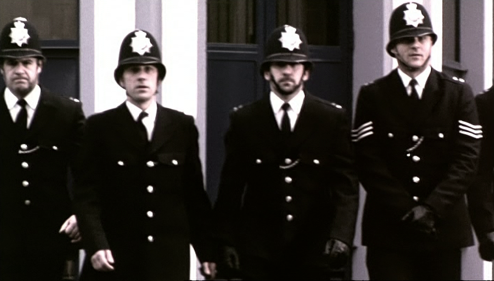
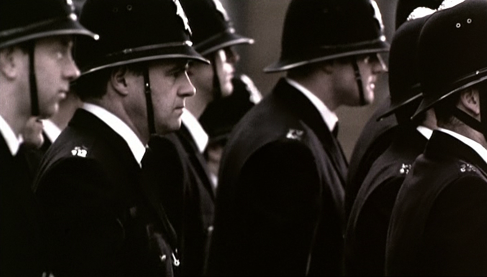
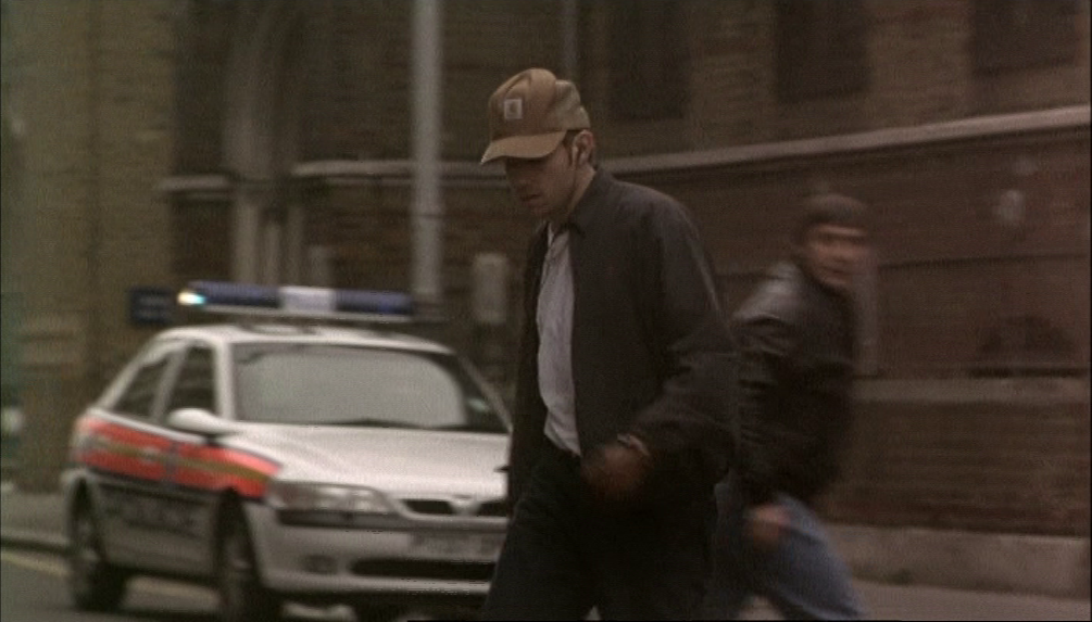
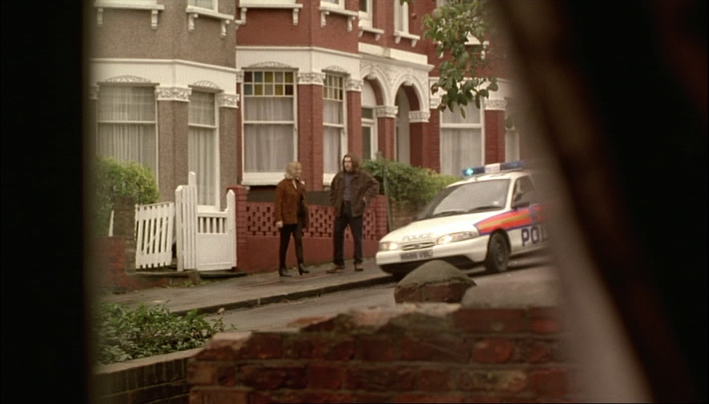
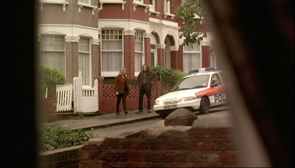
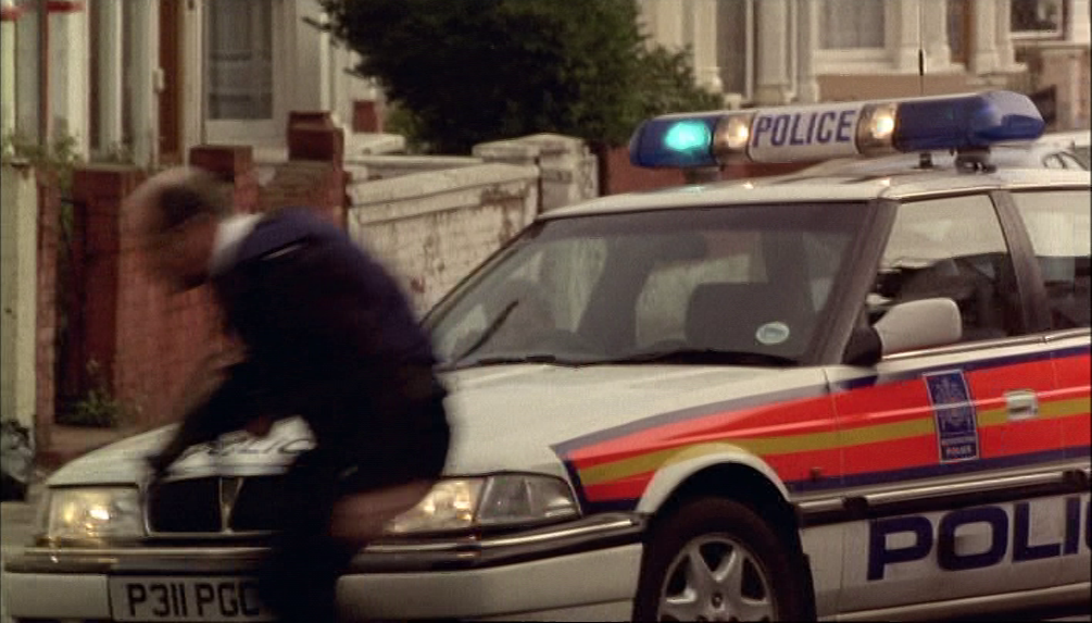
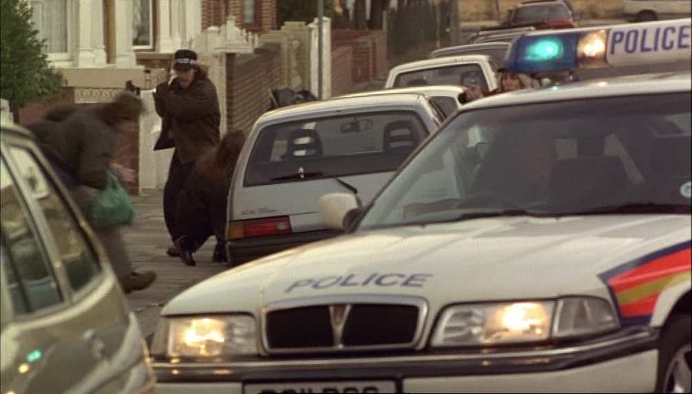
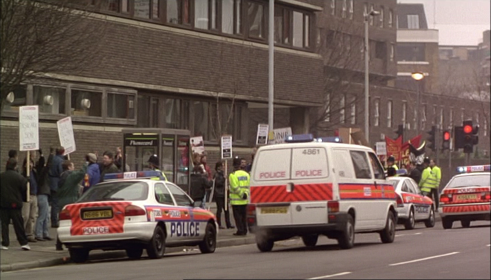
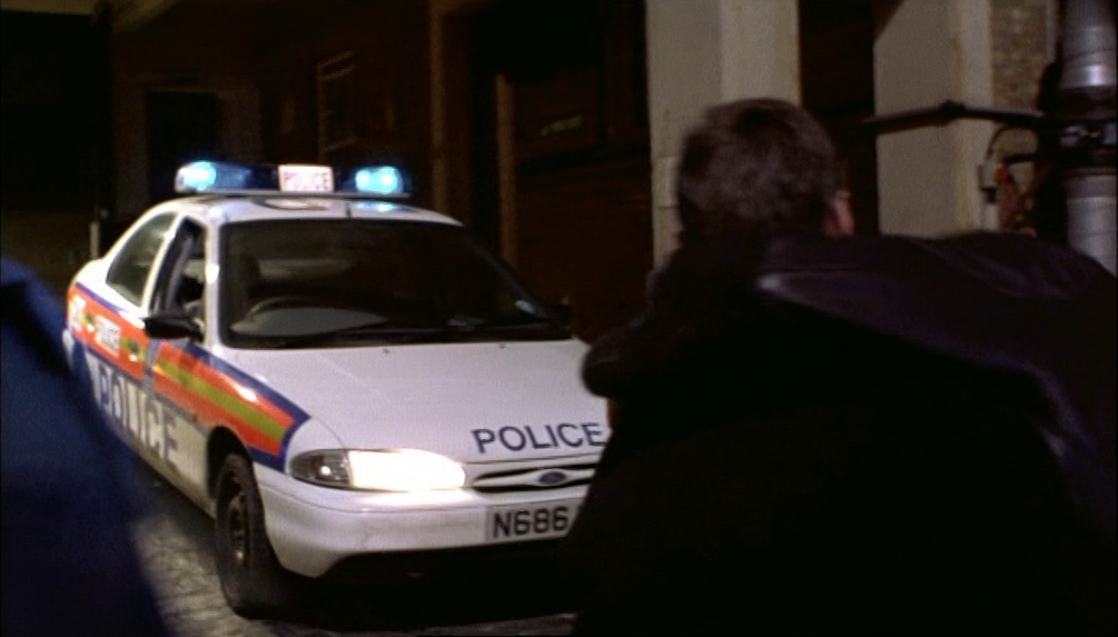
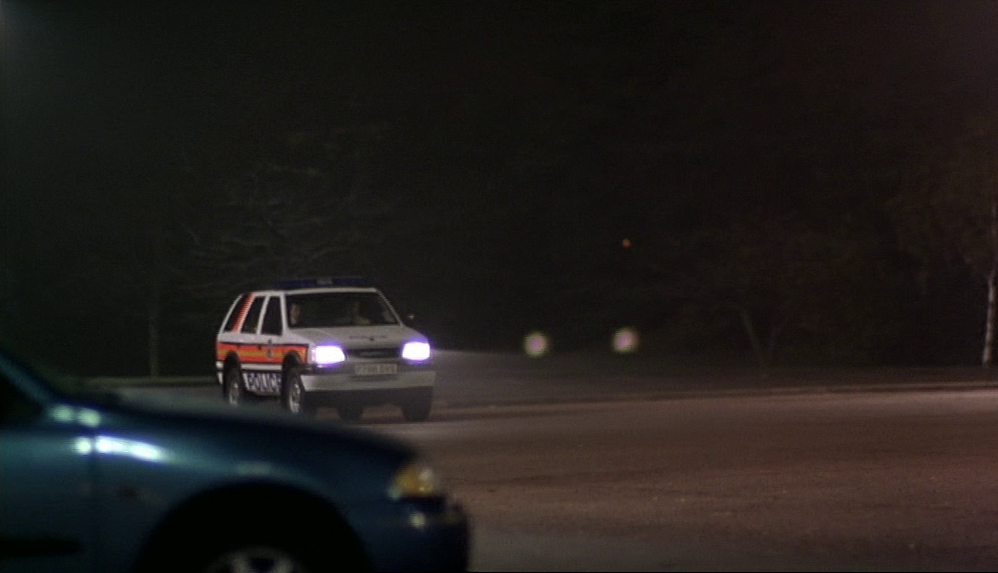
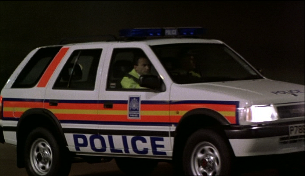
Similarly obvious, given this is a crime film, is the recurrent motif of marked police vehicles:
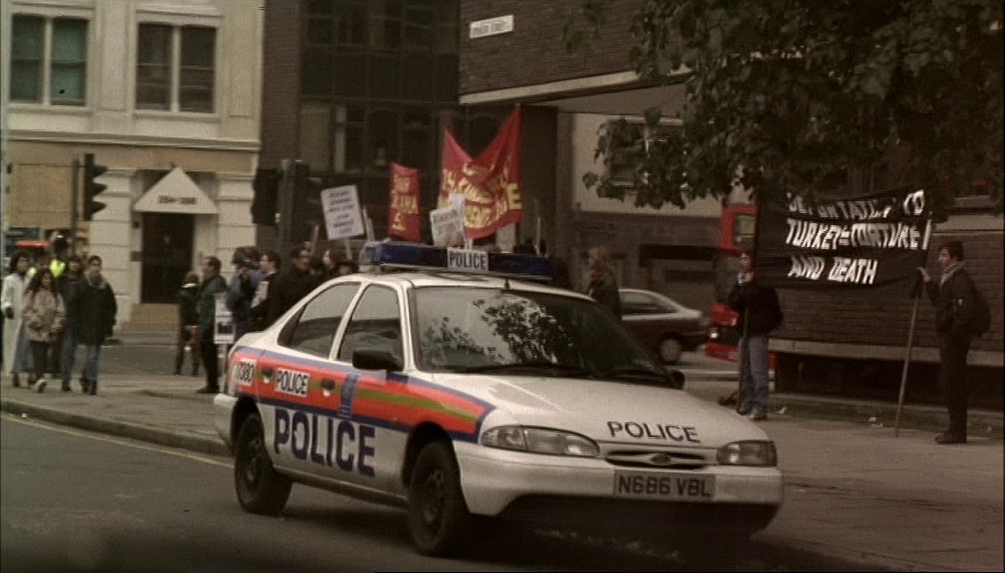
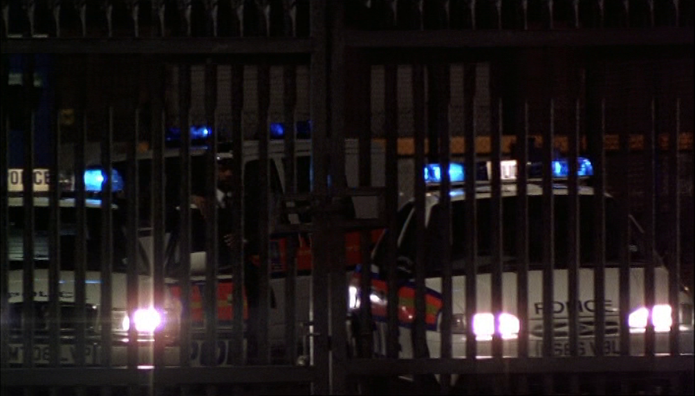
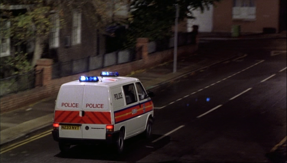
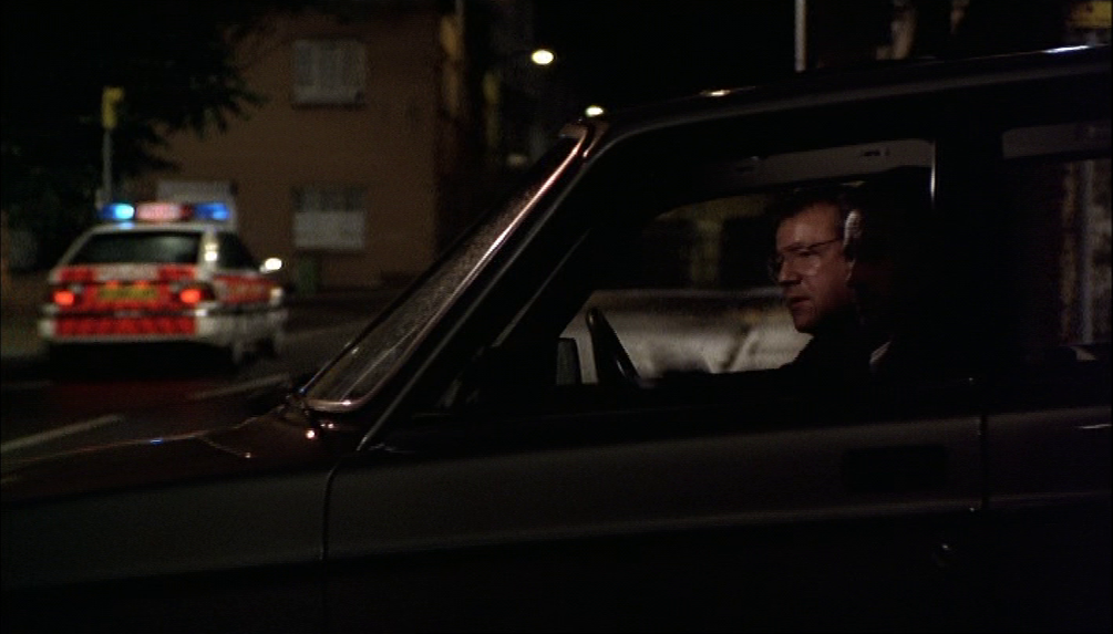
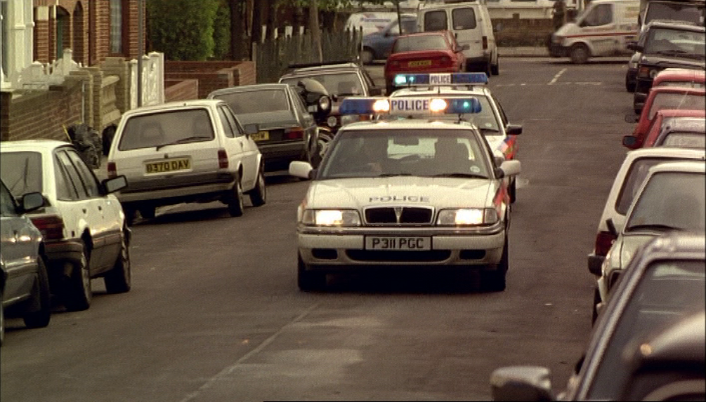


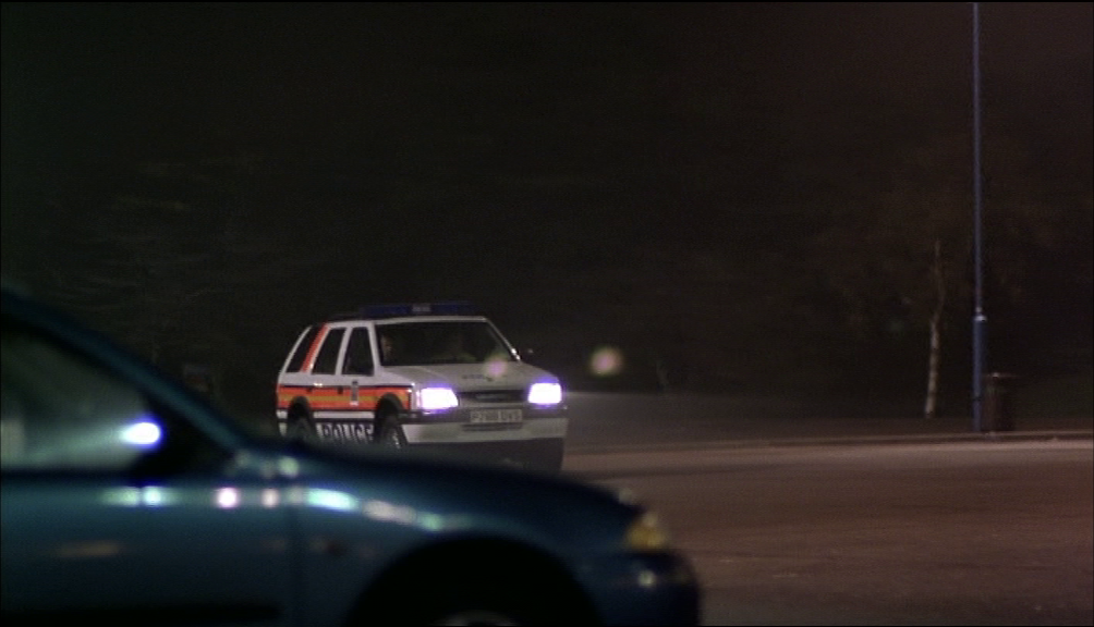
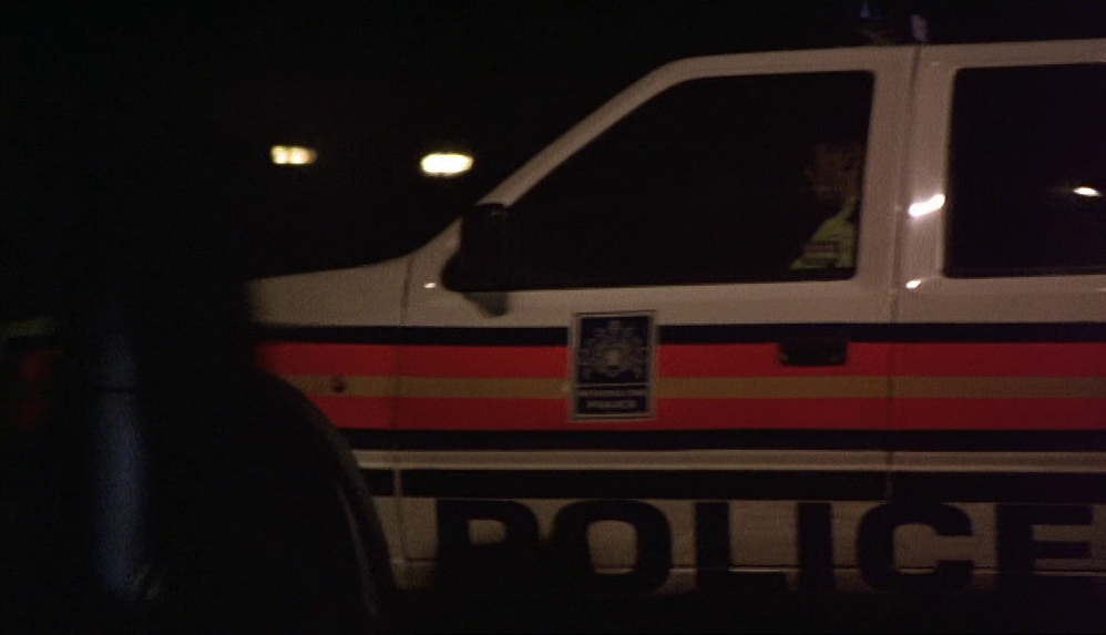
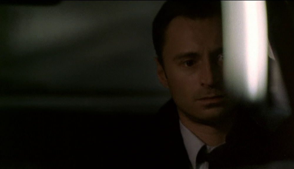
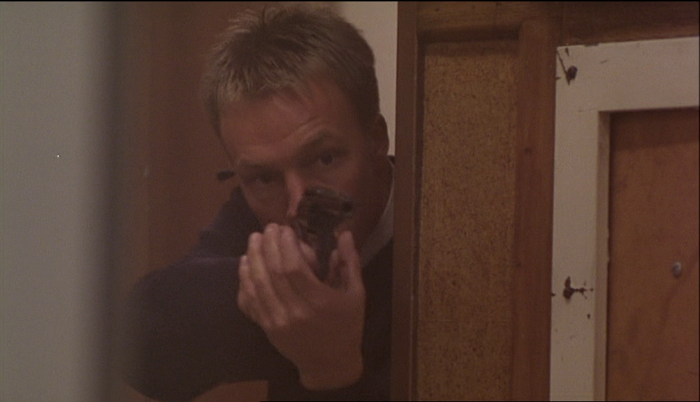
It is the last of these, manoeuvring behind Ray in the car park at Leicester East, that formalises the marked police vehicle as a compositional motif - passing between clear and blurred, and from background to foreground, it moves into the space behind Ray and comes towards him, threatening to prompt the last violent action of the film as Ray reaches for his gun, but then it moves off left and out of screen, out of the film:


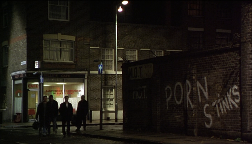
The last realisation of the police vehicle motif coincidences with that of two other motifs. Sloganising posters, messsages on placards and graffiti on walls punctuate the film from the credit sequence onwards:

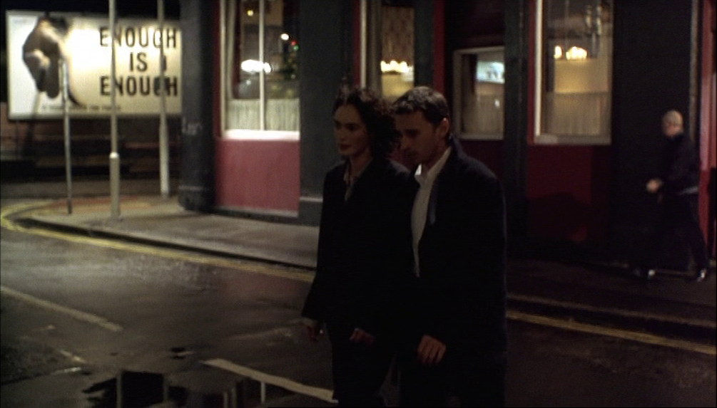
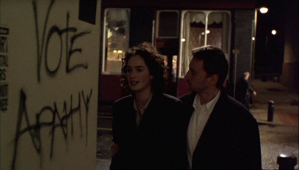
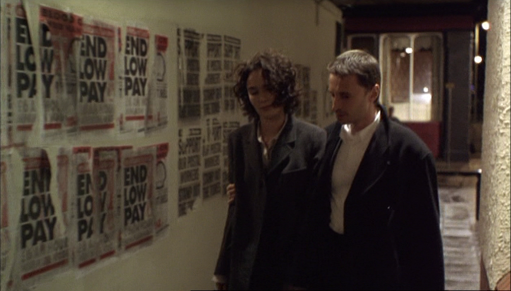


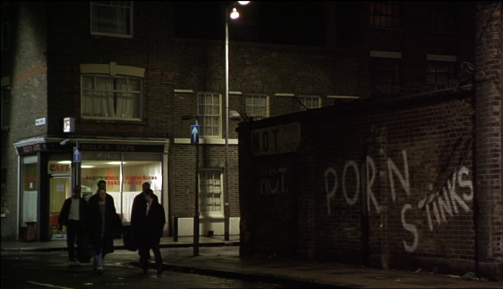
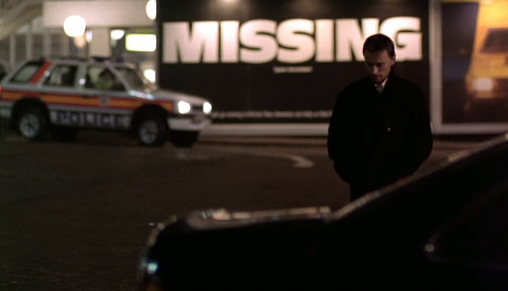
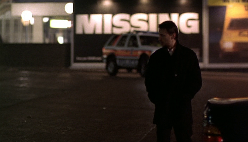
In the commentary Bird says that some of these, such as the Labour Party's 'Enough is Enough' poster and the 'Porn Stinks' graffiti, were already at the location and not placed there by her. The Anti-Nazi League and Socialist Worker posters might also have been texts found on site. Most of course relate to the left-wing oppositional politics that are a theme of the film, though the last one above, at the service station, about the 250,000 people who go missing in Britain each year, is more social than political.
The very last poster we see is also distinct from the dominant political mode. Next to the 'Missing' poster is an advertisement for the Automobile Association's roadside assistance service:

The yellow-jacketed AA man on the poster hints subliminally at mutual assistance as an alternative to the repeated violence, or threat thereof, represented by every earlier view of yellow-jacketed men:
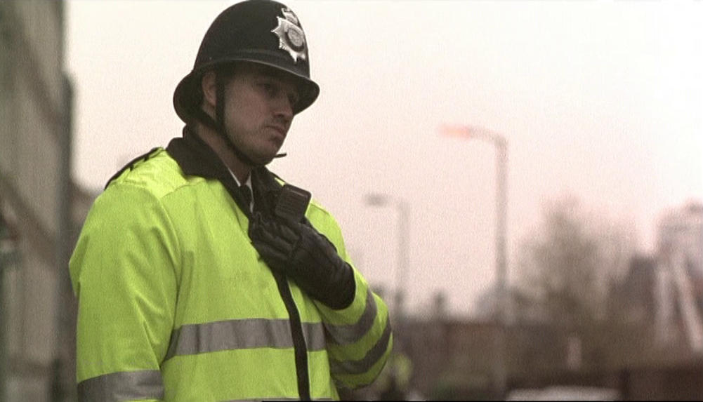


That the driver of the last police car is in a yellow jacket reinforces the connection of this motif to the AA man in the last poster.
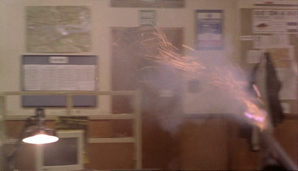
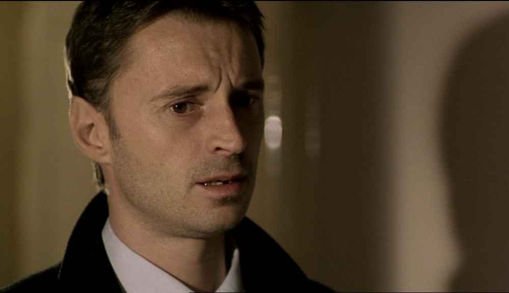
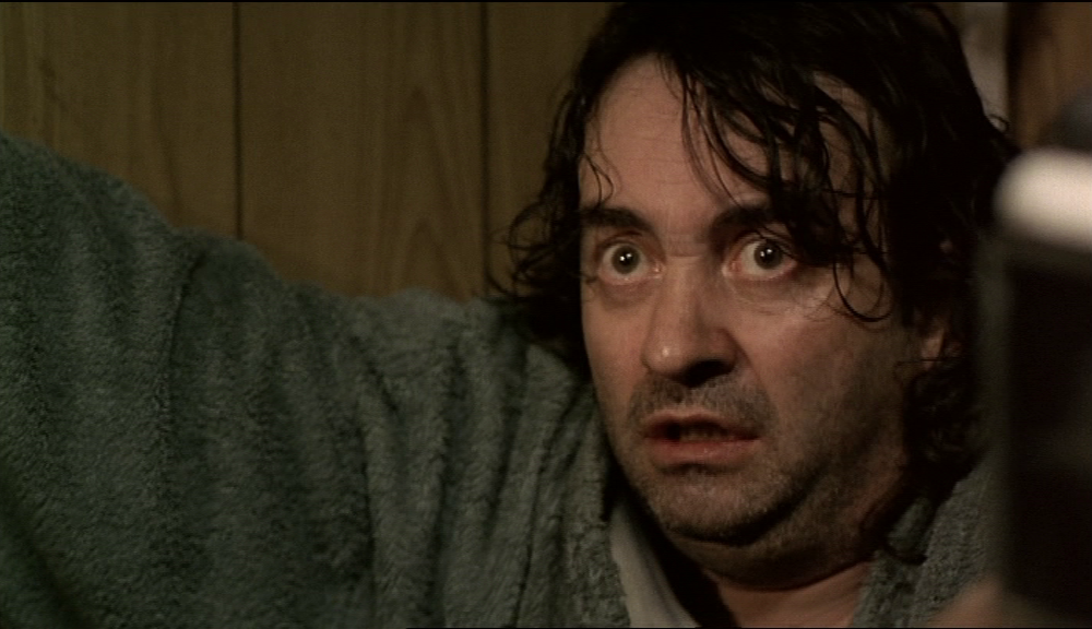
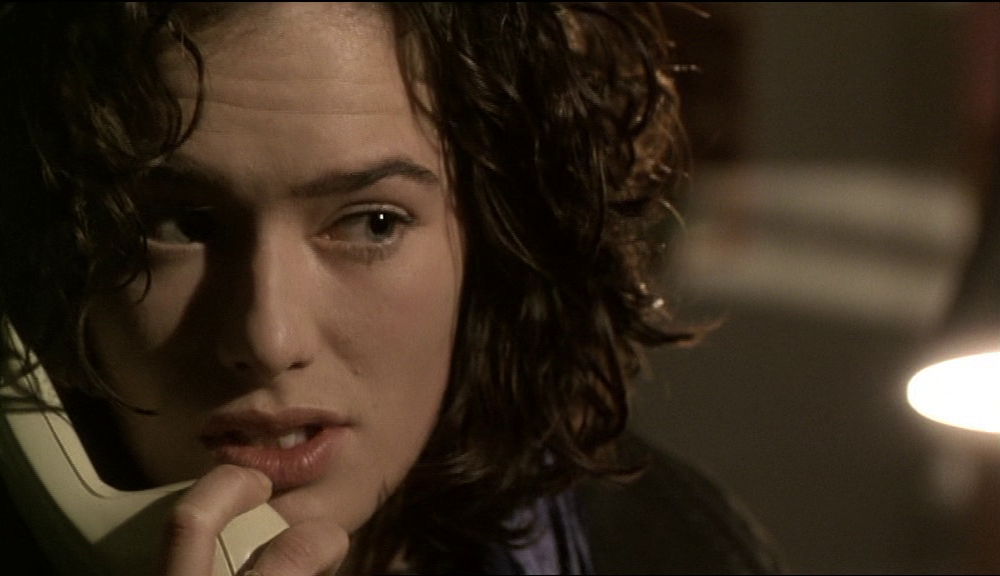
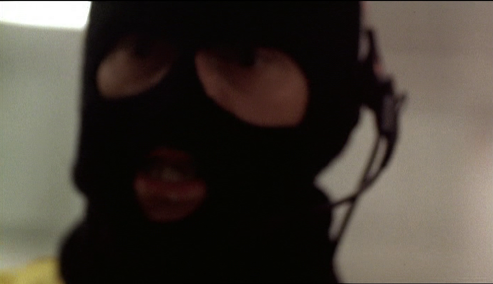
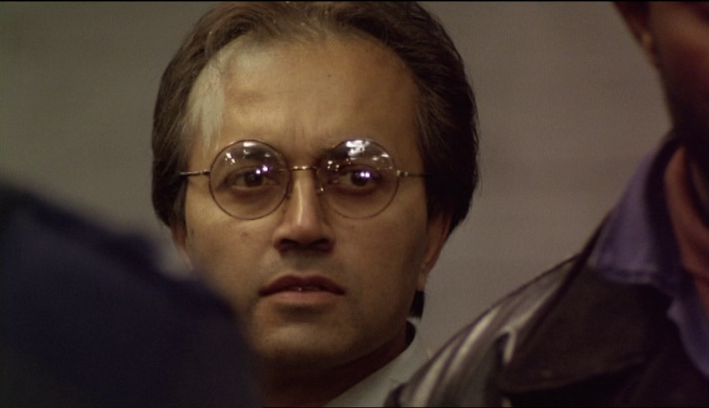
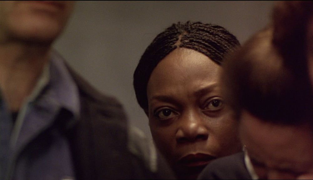
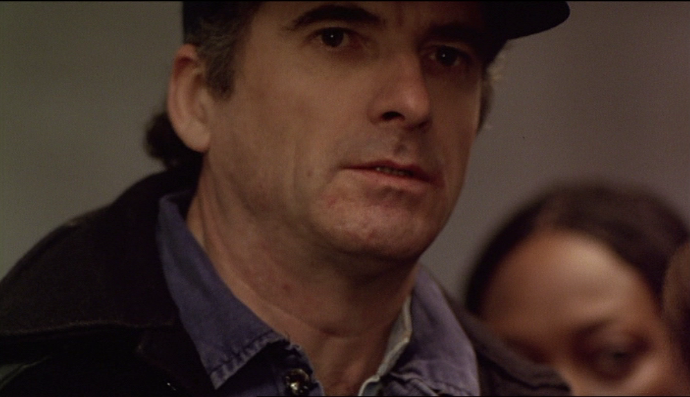
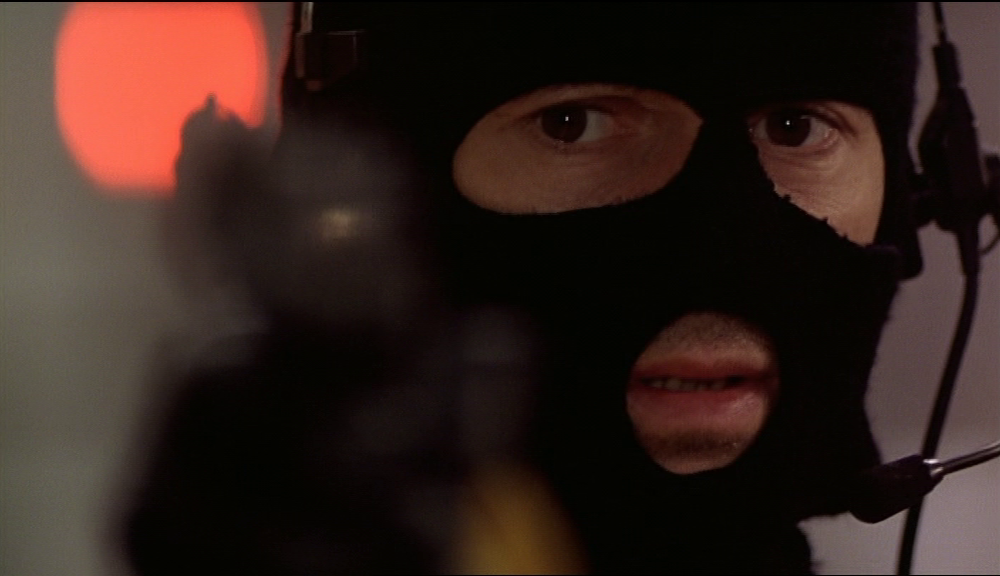
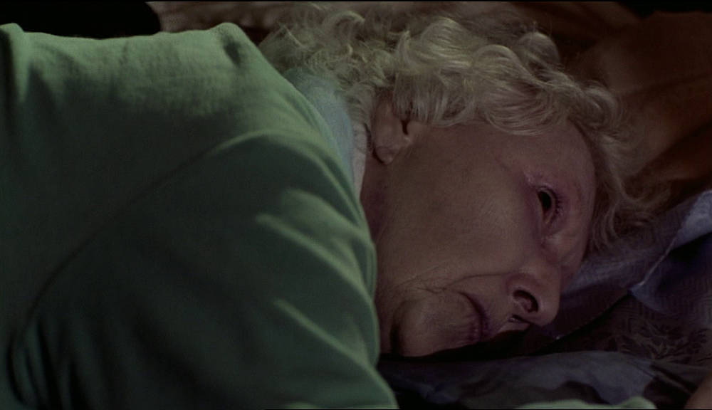
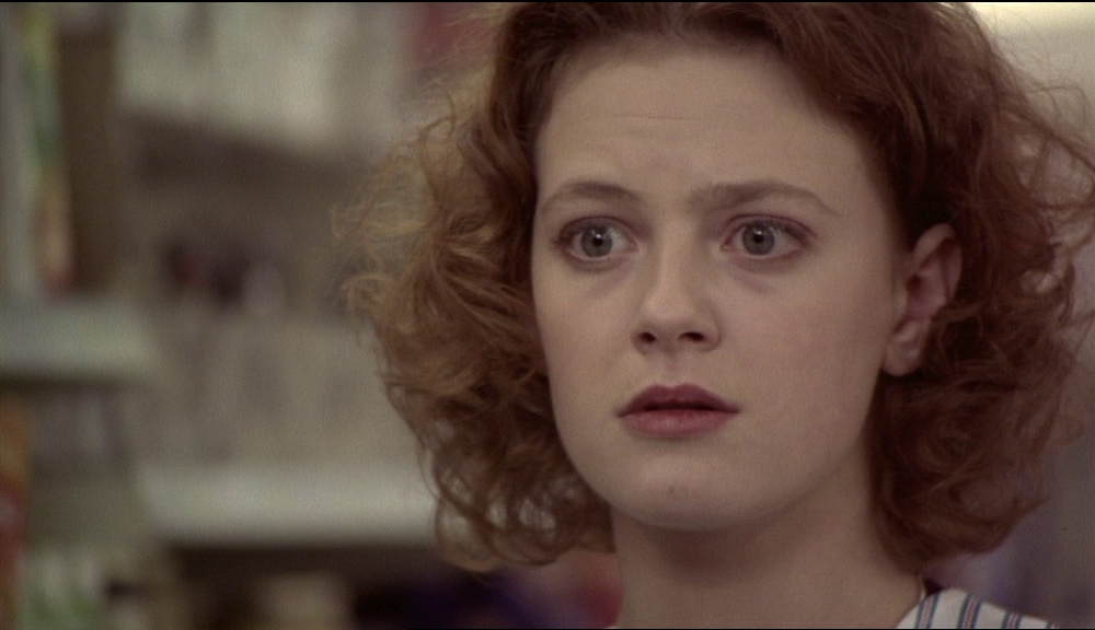
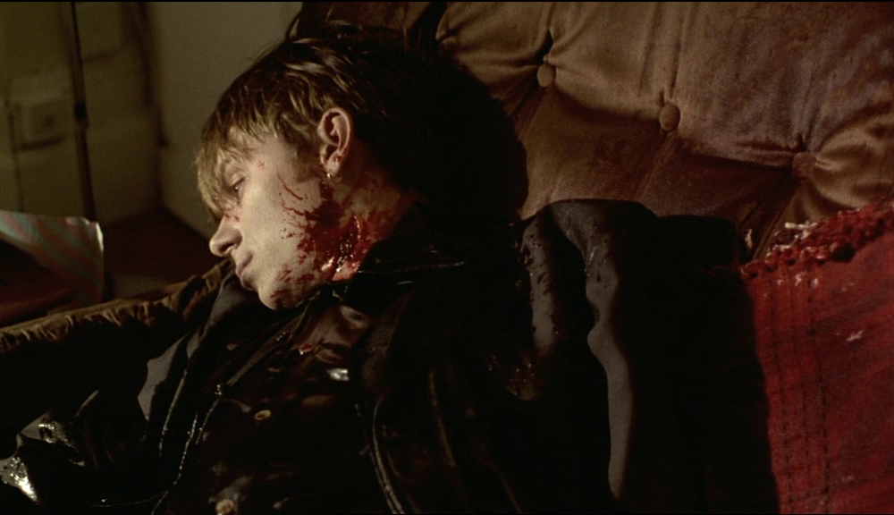
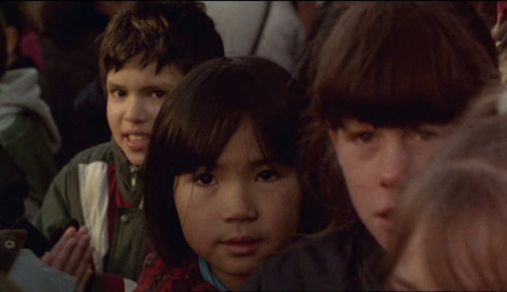
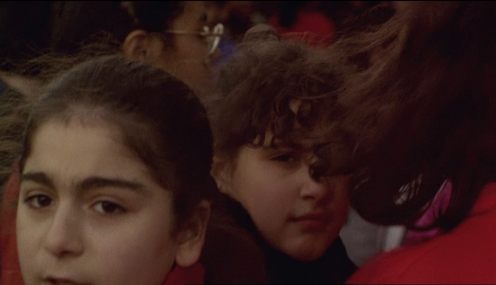
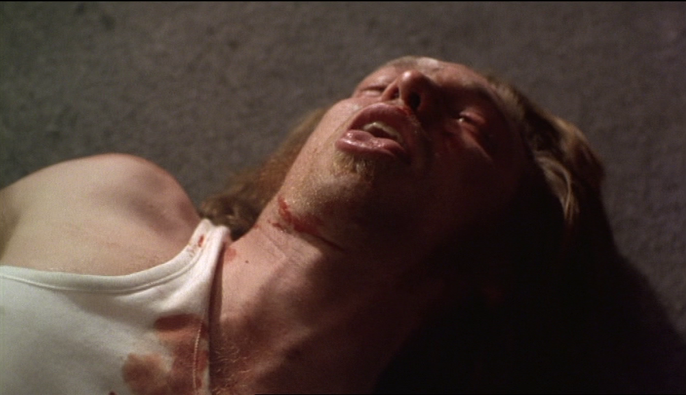
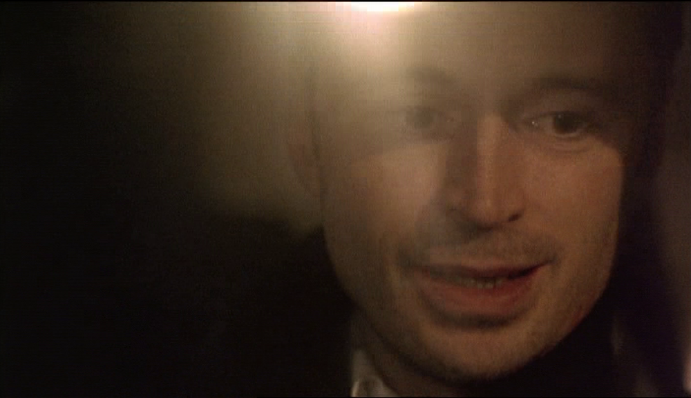
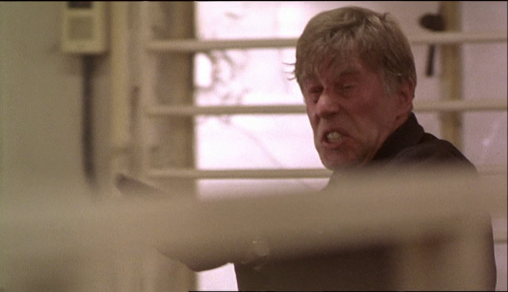
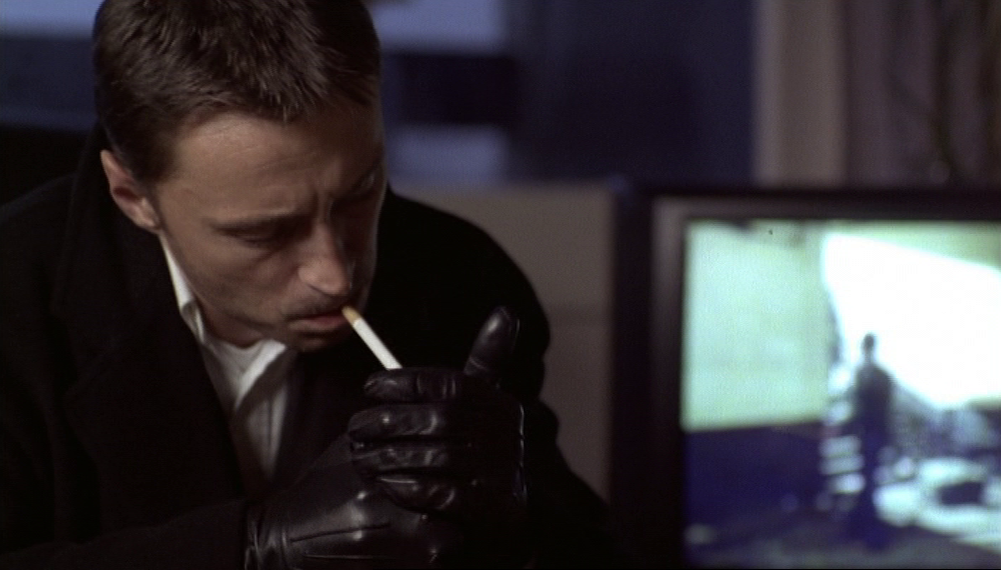
The motifs that come to a close in this last sequence - driving, bridges, stairs, police vehicles, slogans etc., yellow jackets - all have some relation to the principal theme of this post, the places in Face. As important as these are to me, they are not the film's dominant motif. That, perhaps self-evidently, is the face. 'Face' in Face is a slang term for criminal; the face that Face shows in close-up the most is that of its criminal protagonist, Ray, but what makes the face a motif in Face is its place in a pattern with other faces, including children and corpses:


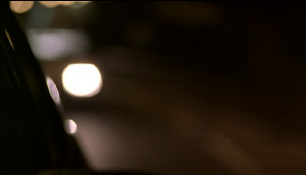
This is, as I have said, a post about reading places, not faces. I would argue, though, that the connection between the two was established at the very beginning of the film. Its first images, as the credits begin, are enigmatic glimpses of electric lights against a black background:
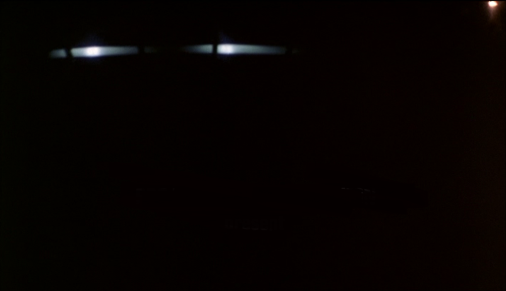
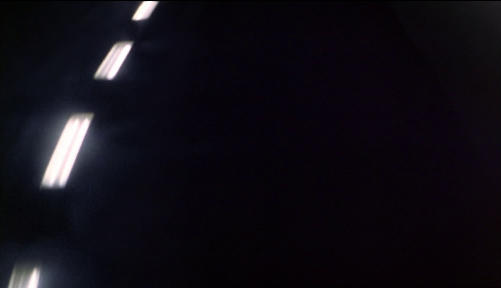
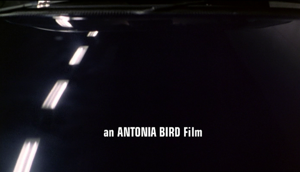
The enigma is resolved when the camera pans up to show that this is lighting reflected on the bonnet of a car being driven in an underpass:
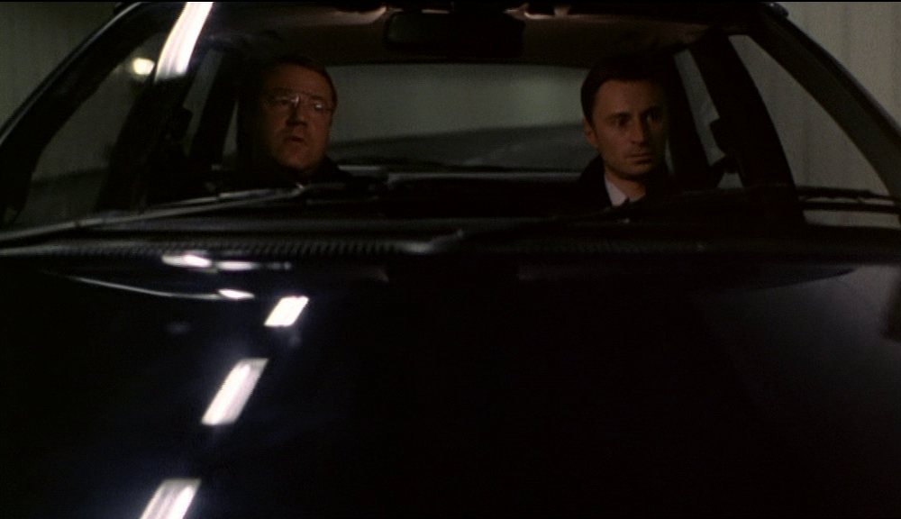
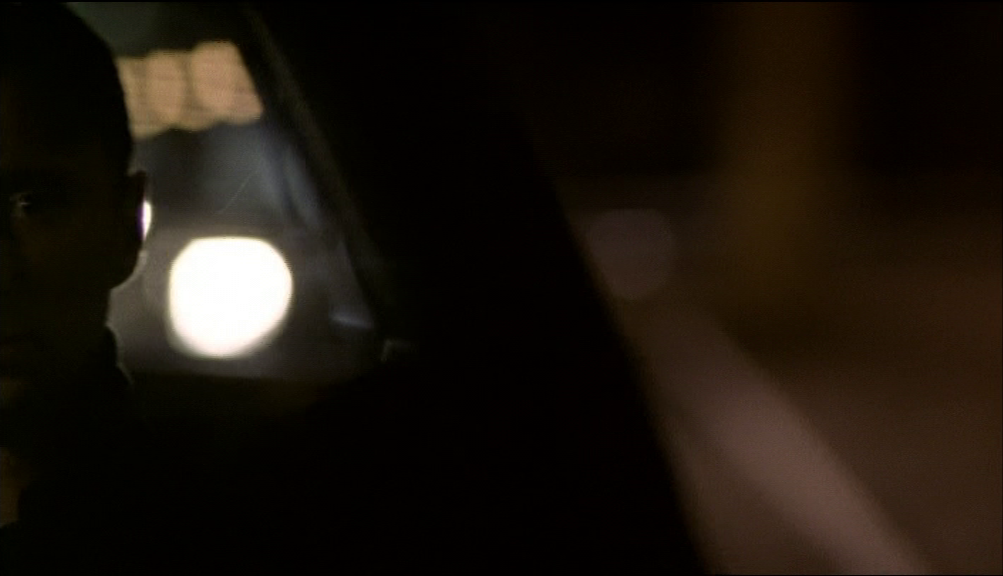
The type of space is revealed at the same time as are revealed the men in the car, signalling that the film will articulate the relation between character and location. The credit sequence's second shot also begins with enigmatic lights, then pans - this time horizontally - to show more closely the face of one of those men:
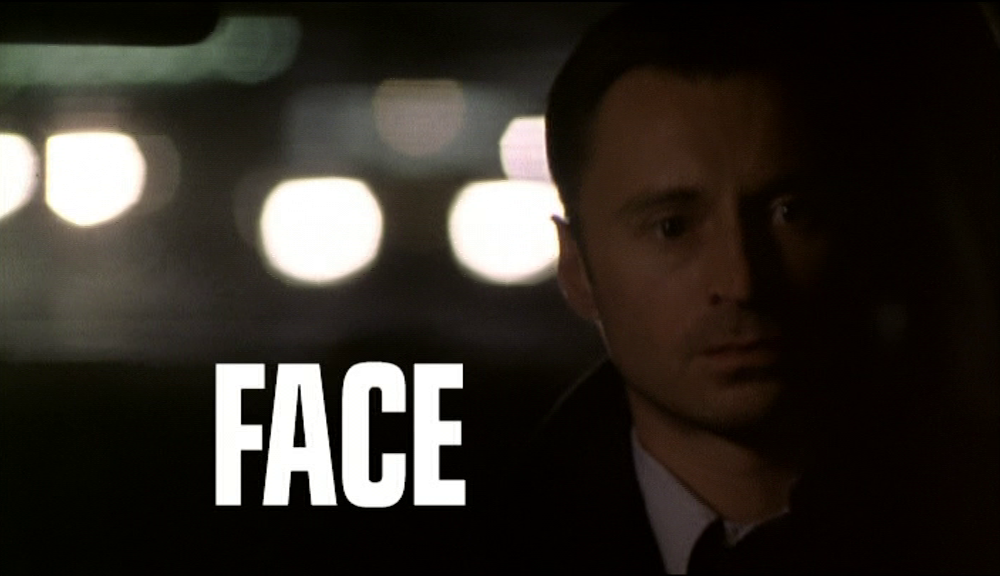
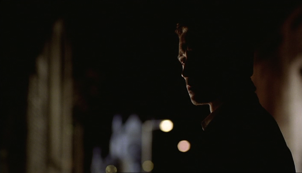
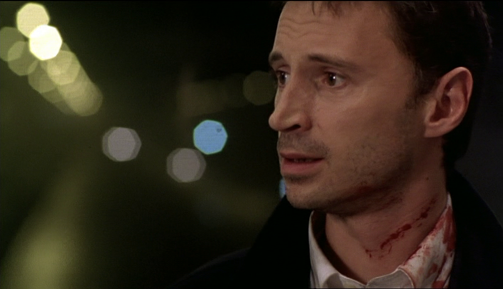
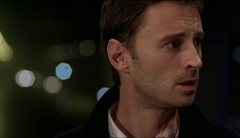
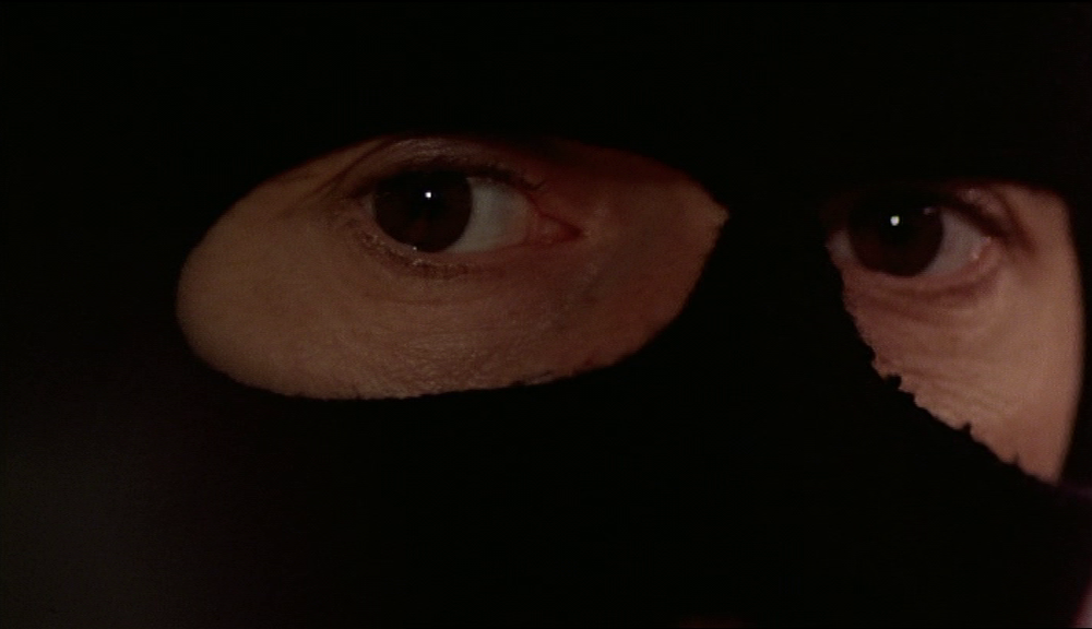
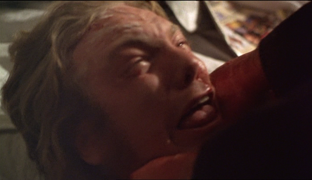
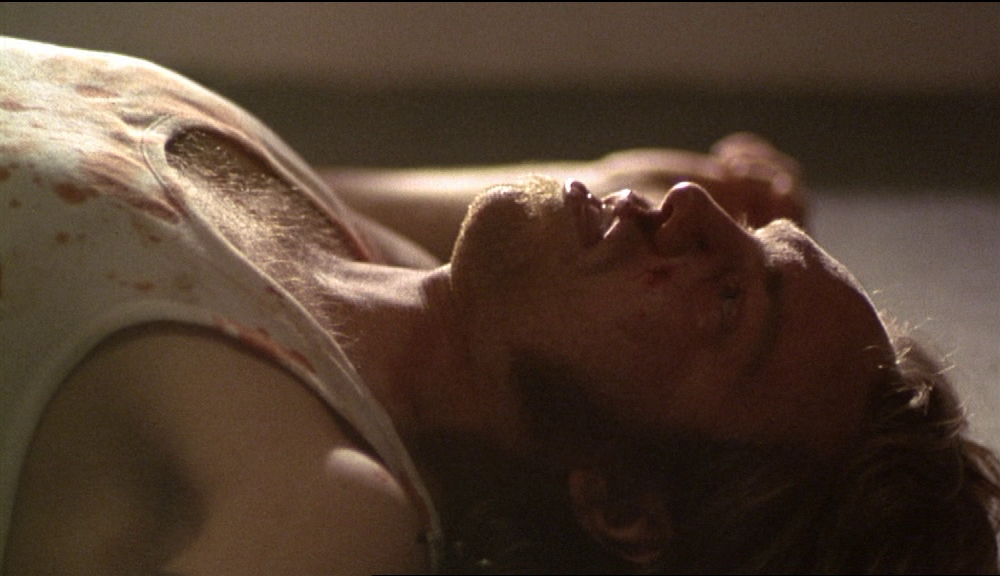
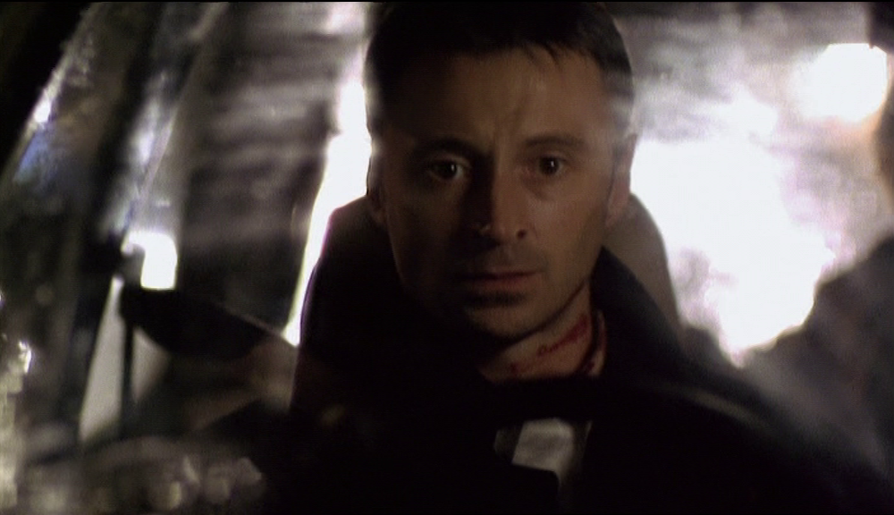
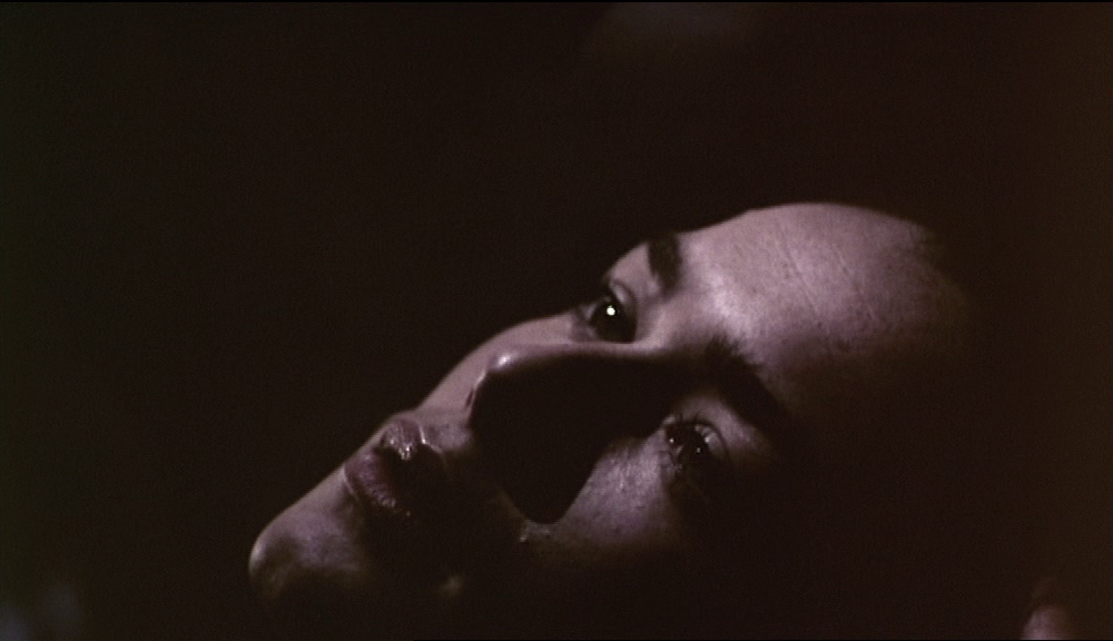
The film's last image is also of Robert Carlyle's face, though in more extreme close-up:
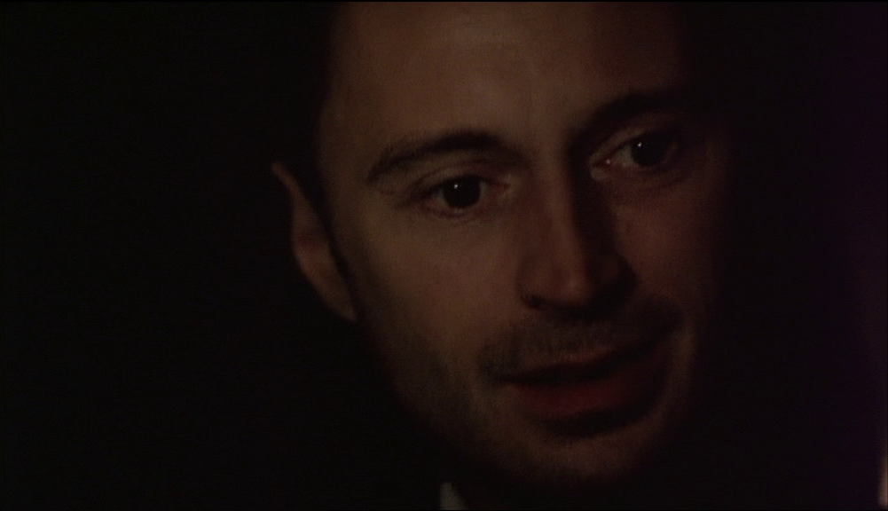
The extreme close-up is the thing in cinema that interests me the least, because of all shots it is the least topographical.
When the camera looks at a face all space is effaced.
The face, cinematically, is the absolute non-place.
When the camera looks at a face all space is effaced.
The face, cinematically, is the absolute non-place.
Appendix

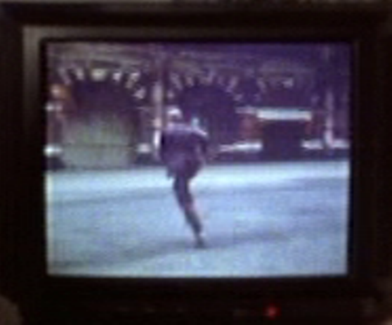
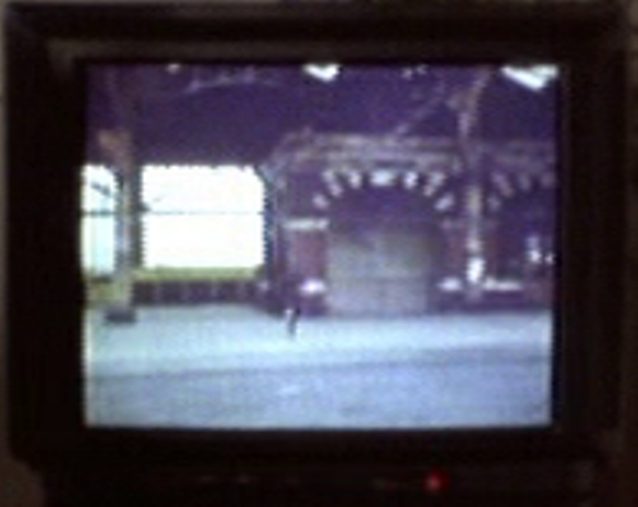
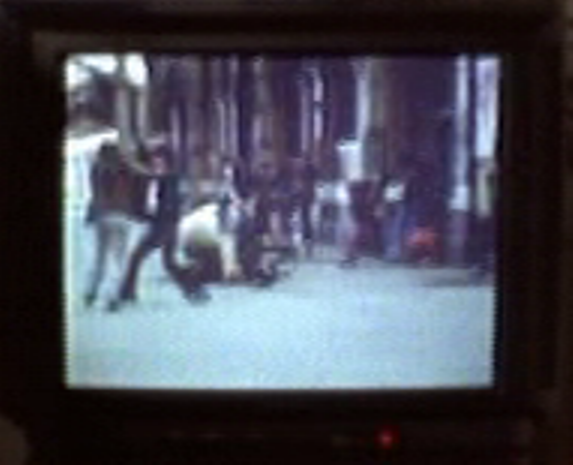
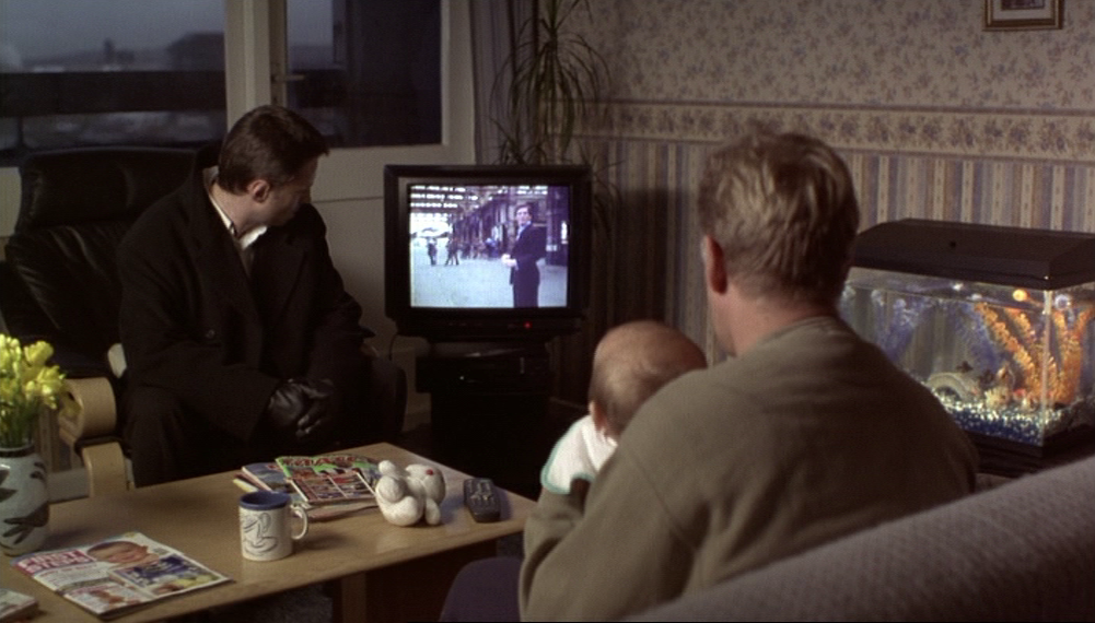
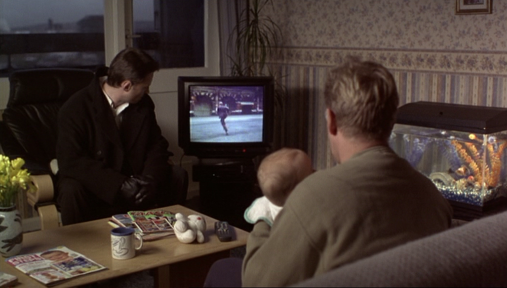
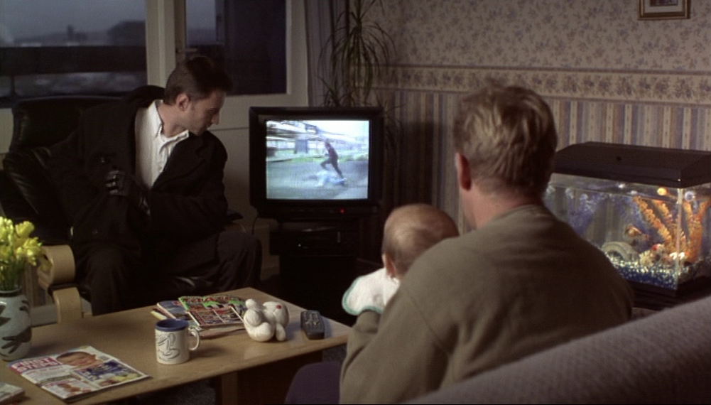
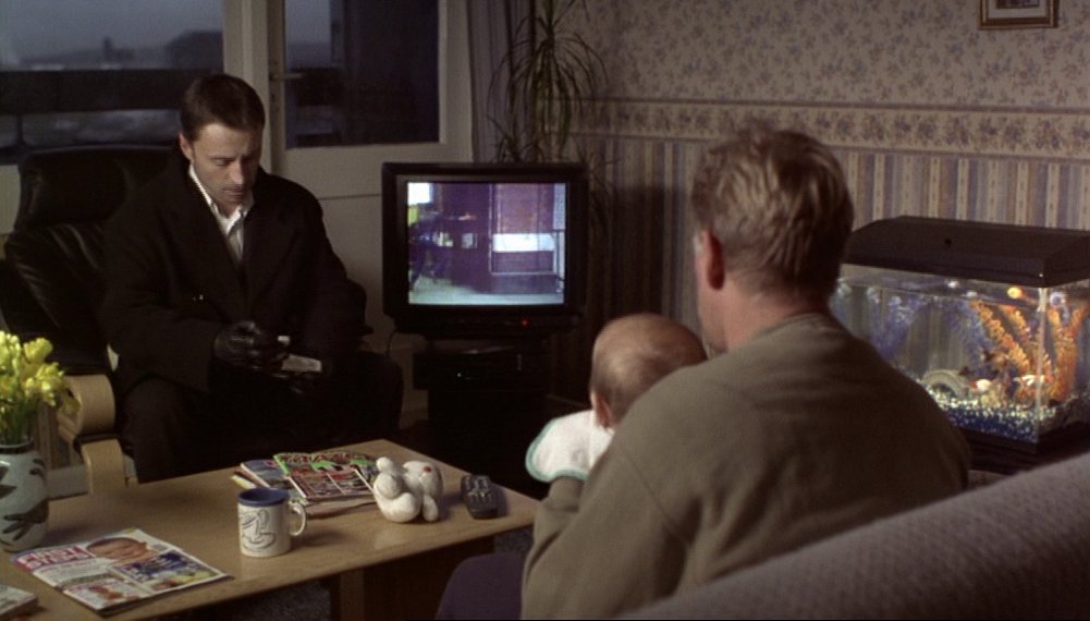
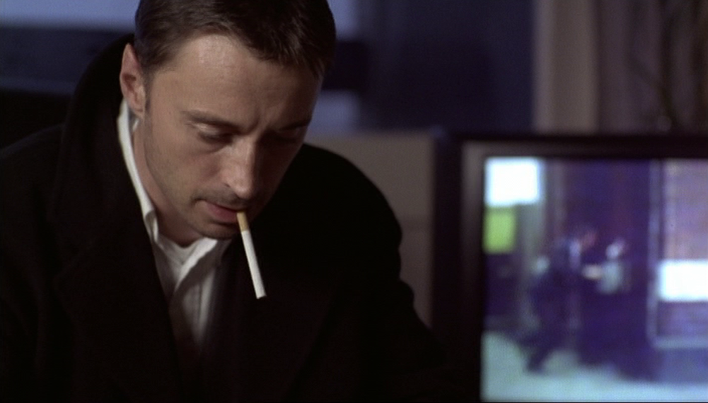
When Ray visits Julian in his flat on the Isle of Dogs, there's a film playing on the television that prompts this self-reflexive dialogue:
|
|
- What are you watching?
- Video. It's a crime film. - I don't like crime films. - No? - No, they never show the criminal in a good light. - That's very true, when you stop to think about it. They always show us like we're animals or something. The actors always play us thick. - Yeah, some of us are pretty thick though, aren't we? |
I have not been able to identify the film, which is all the more frustrating as the location looks very familiar:
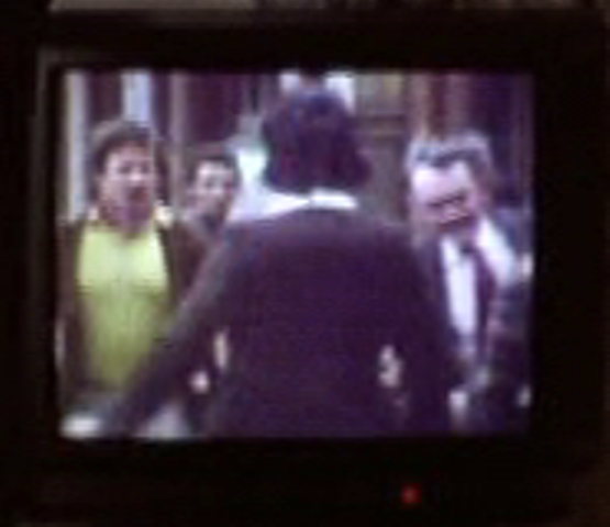


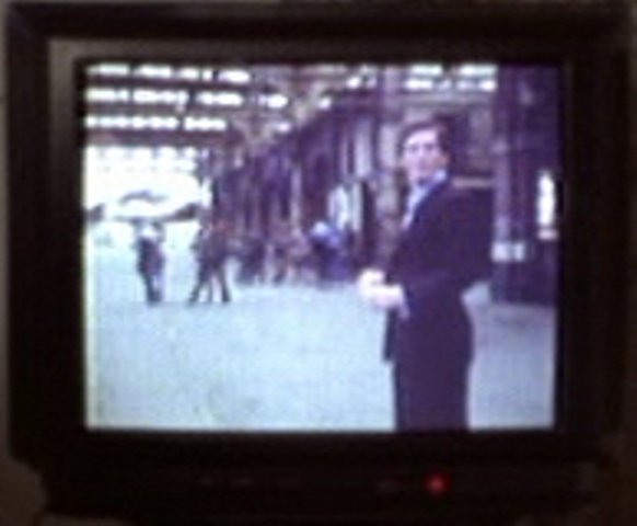
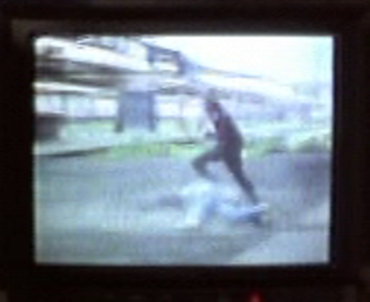


The fragments of dialogue from the film that I can make out include: '... shotgun... Don't do that... Get down, get down on the floor...'.
Mostly the soundtrack is seventies-style action music.
If you do recognise this film please let me know, here.
Mostly the soundtrack is seventies-style action music.
If you do recognise this film please let me know, here.


References
- Face (Antonia Bird 1997) - dvd edition with audio commentary by Antonia Bird, Robert Carlyle and Ray Winstone
- Marc Augé, Non-lieux: introduction à une anthropologie de la surmodernité (Paris: Seuil, 1992)
- Caroline Gall, Service Crew: the Inside Story of Leeds United's Hooligan Gangs (Milo Books, 2009)
- ianVisits: a blog about London's heritage, transport, architecture etc.
- Joe Moran, Reading the Everyday (London: Routledge, 2005)
- Joe Moran, On Roads: a Hidden History (London: Profile, 2009)
- Sight and Sound (October 1st 1997), interview with Antonia Bird and review of Face by Philip Kemp