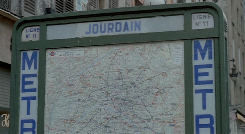
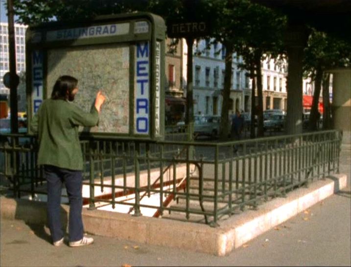
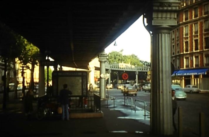
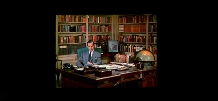
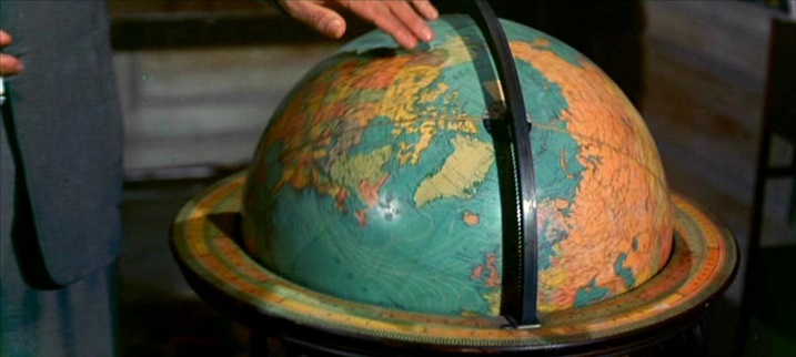
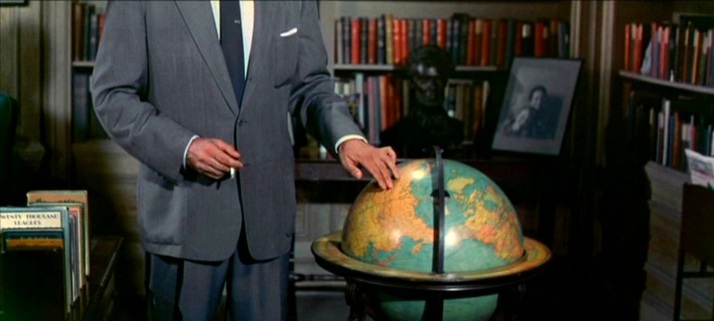
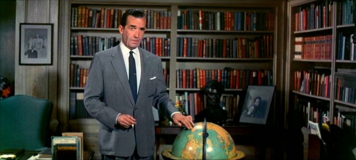
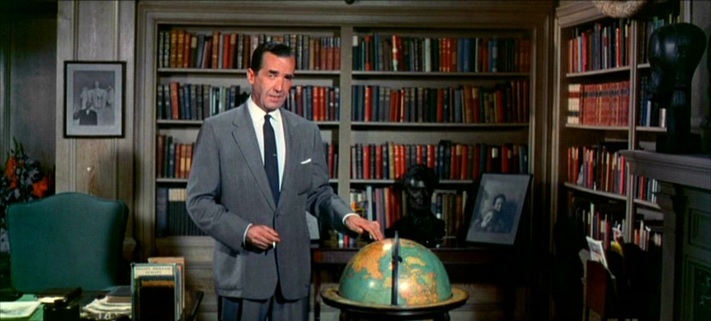
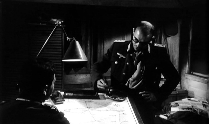
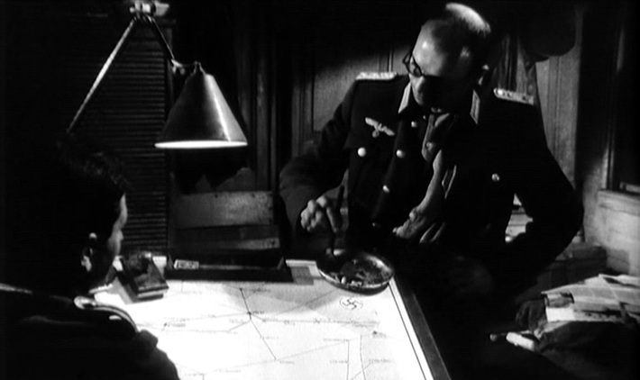
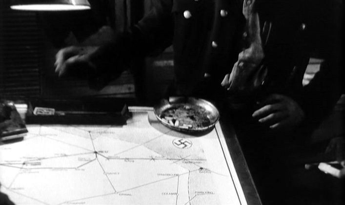
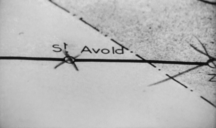
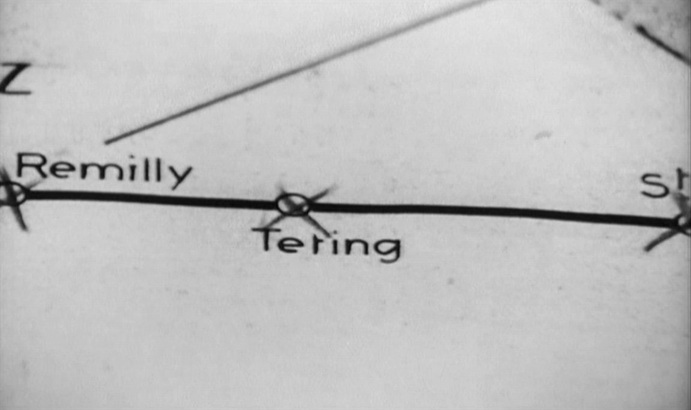
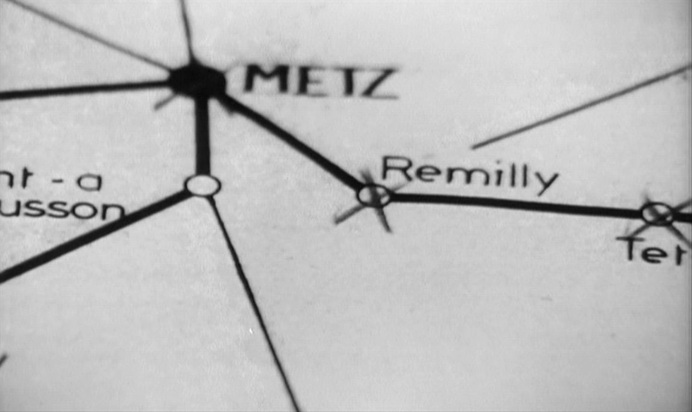
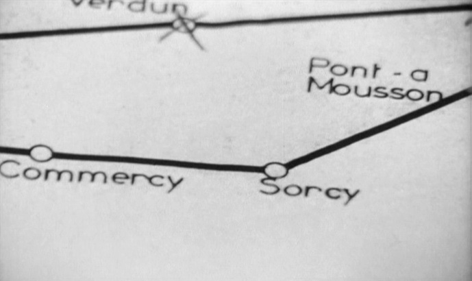
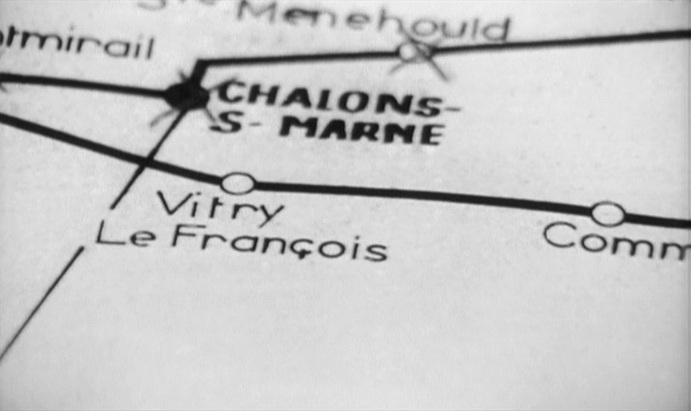
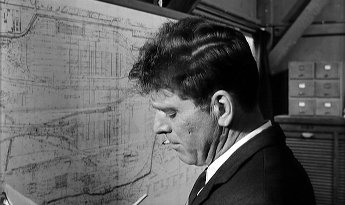
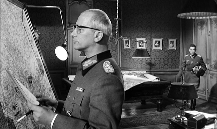
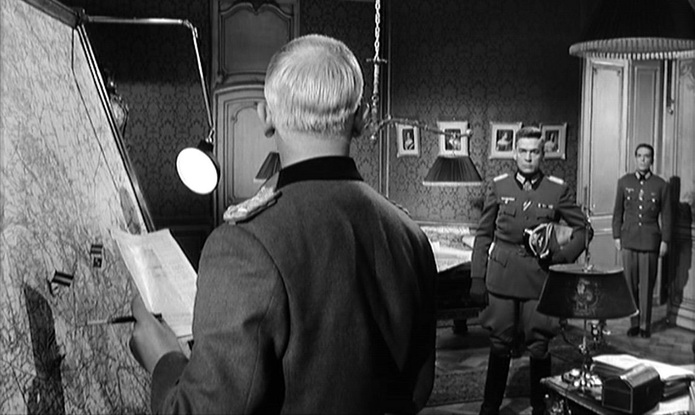
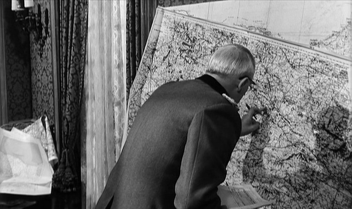
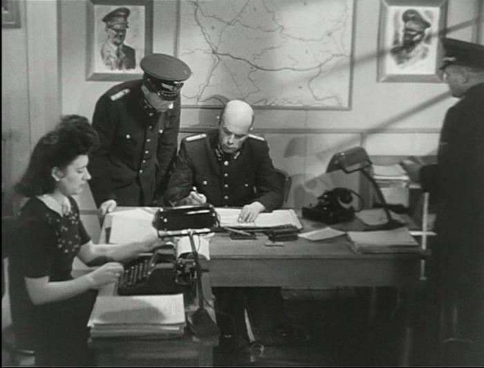
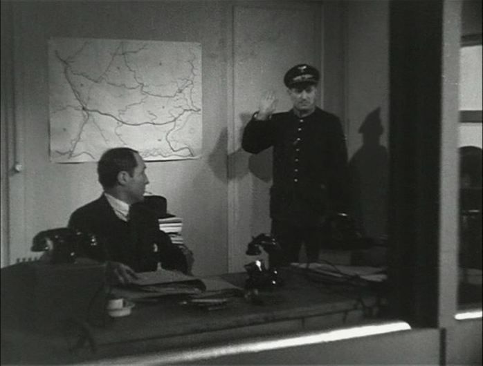
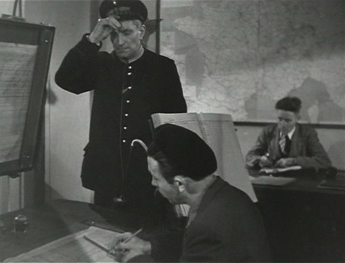
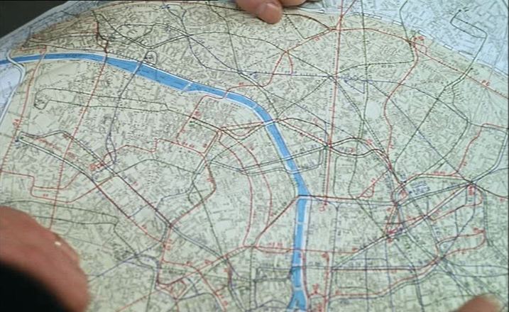
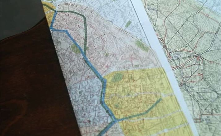
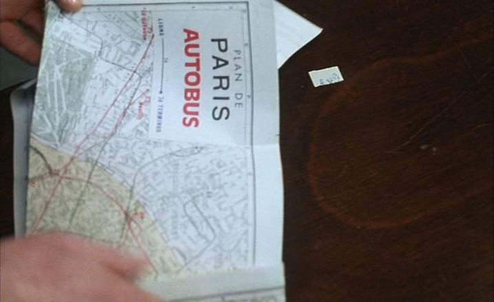
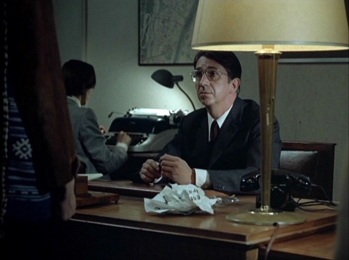
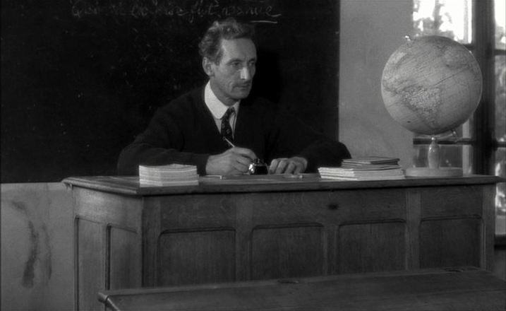
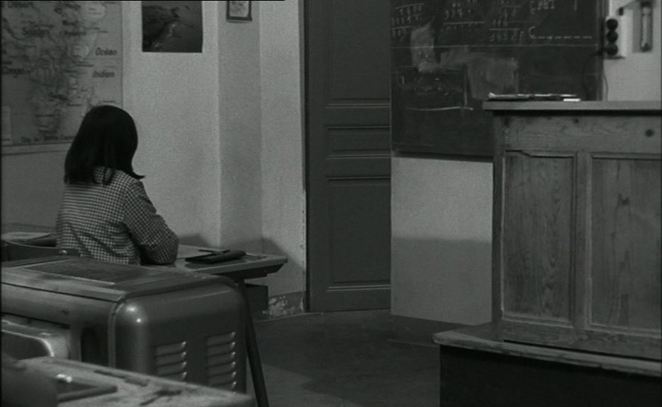
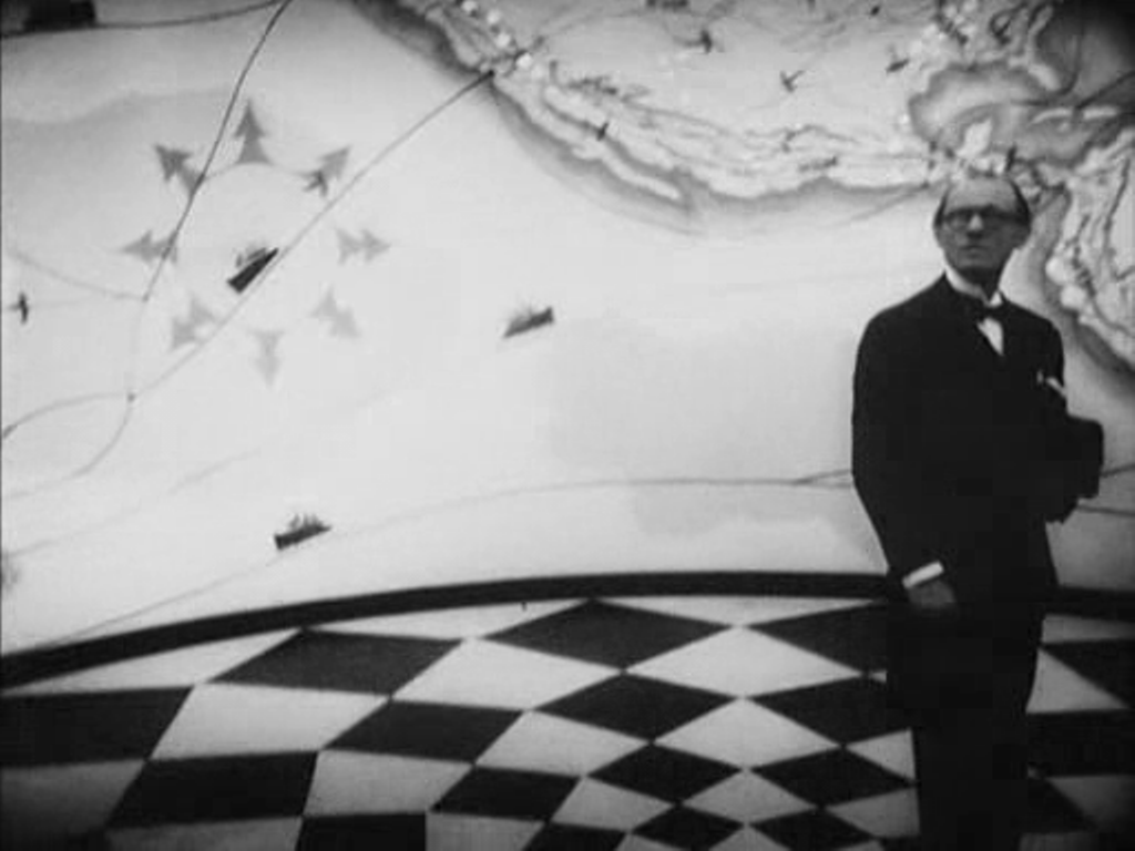
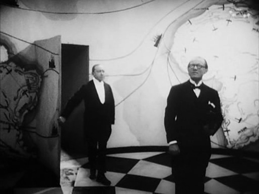
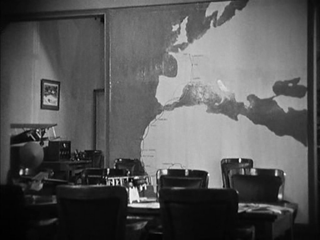
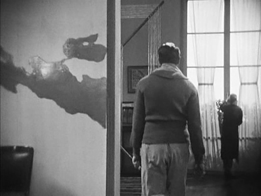
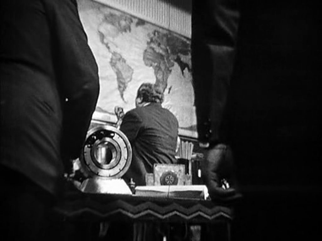
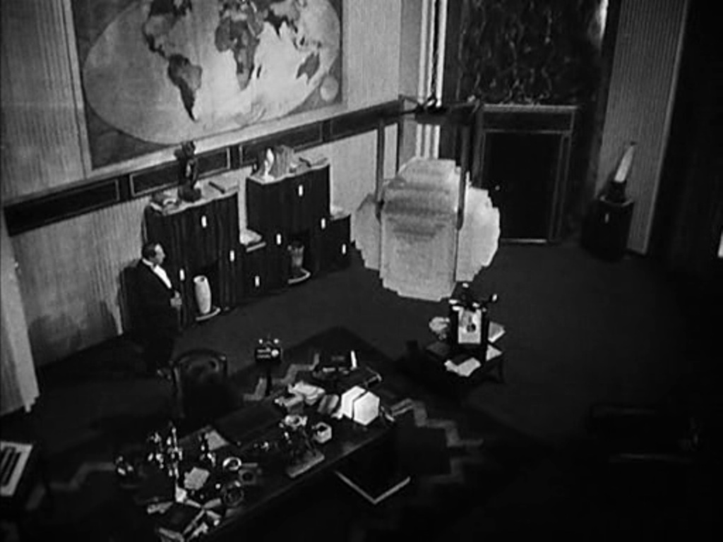
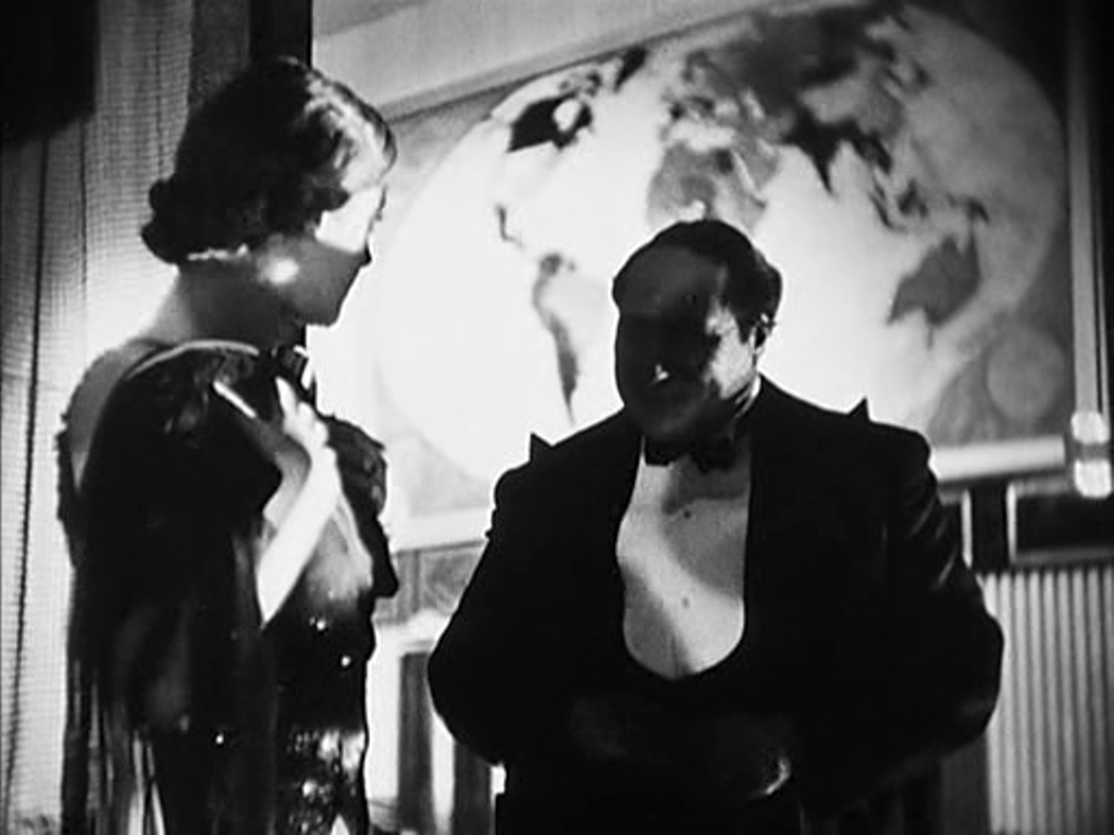
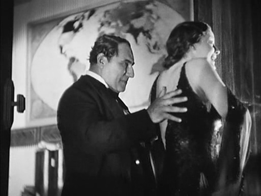
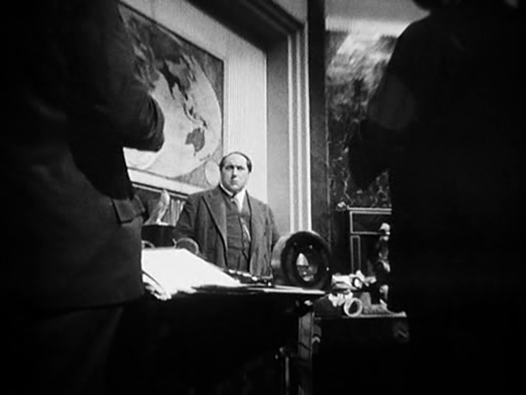
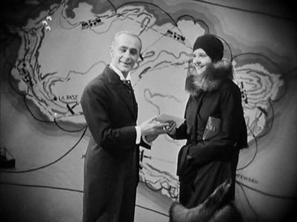
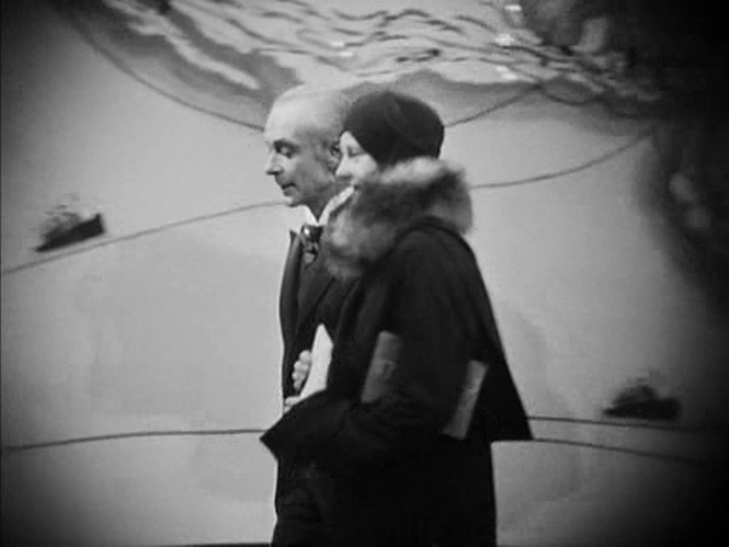
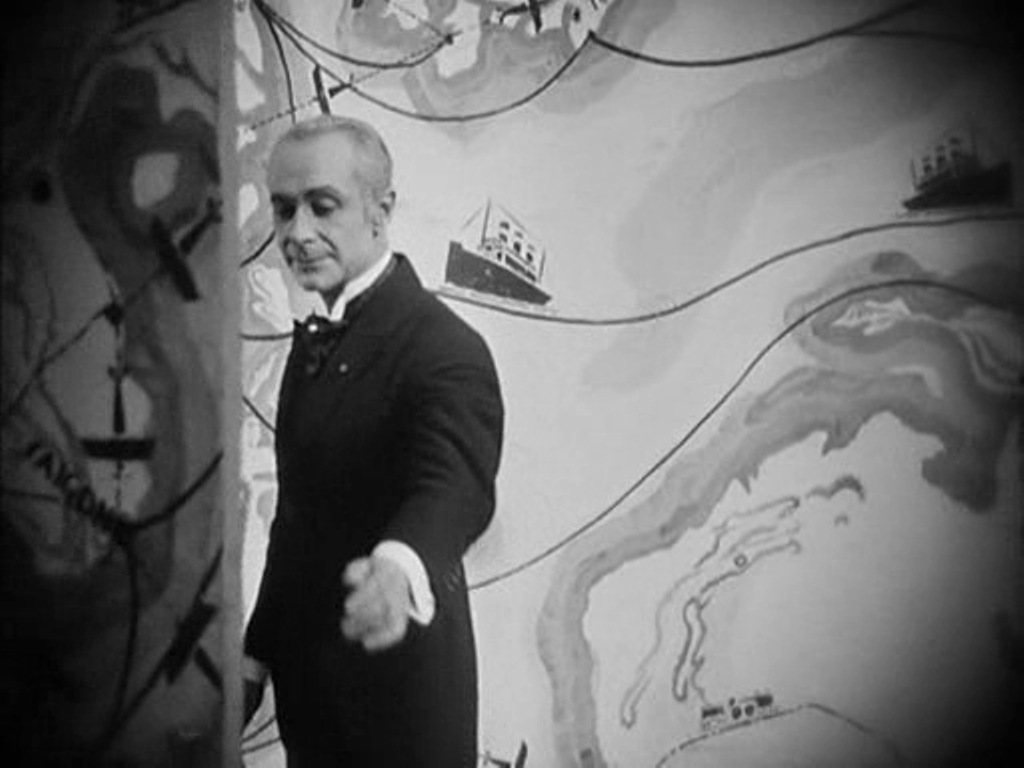
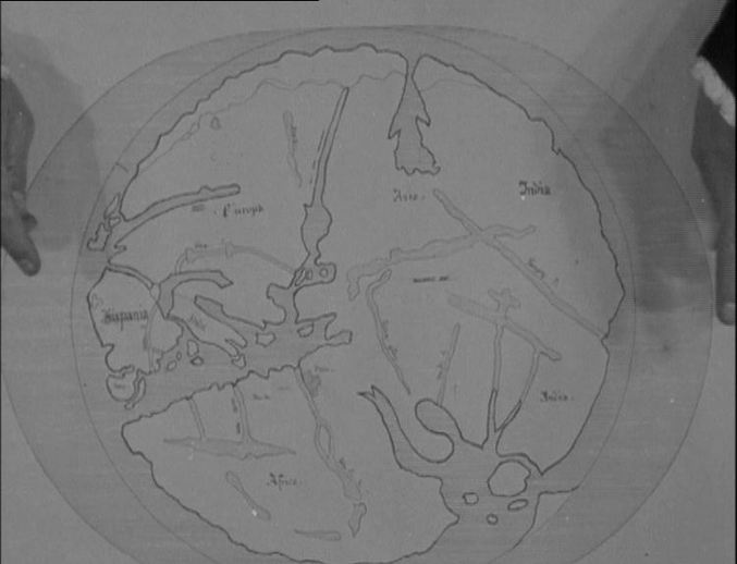
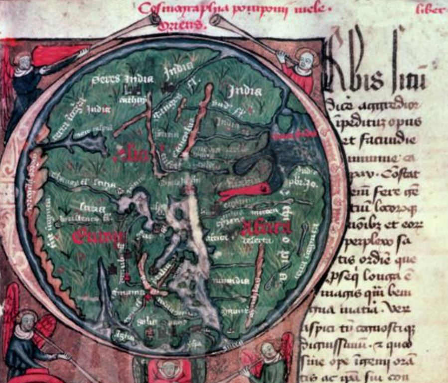
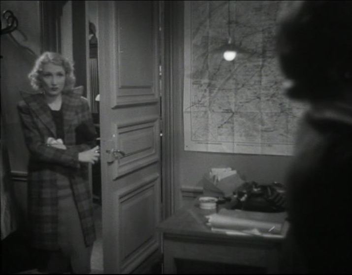
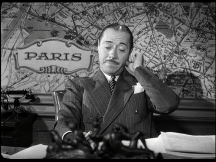
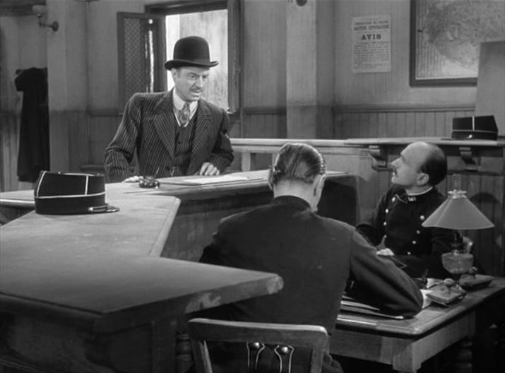
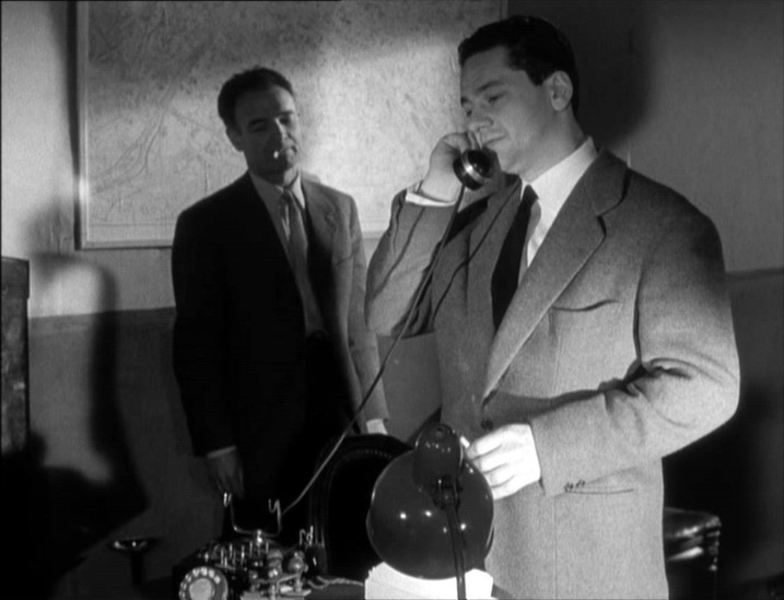
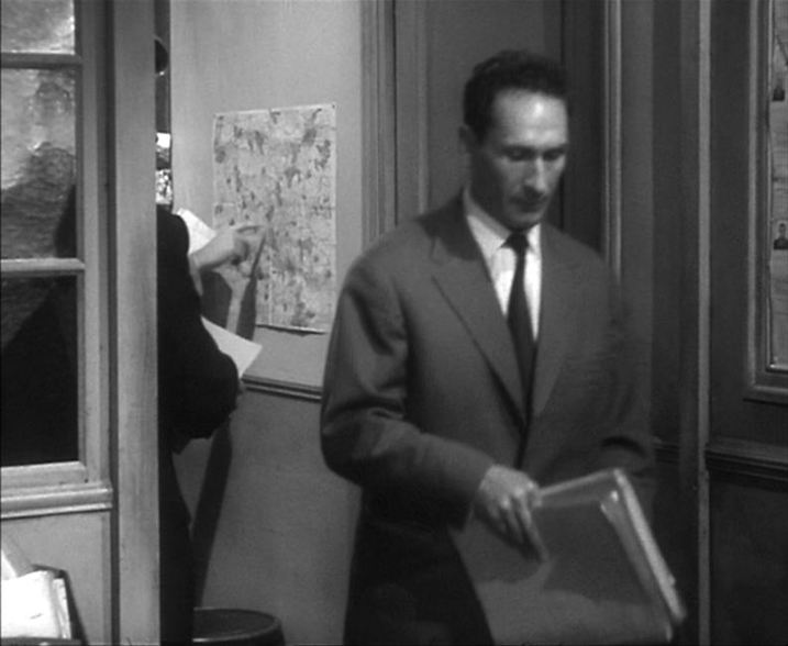
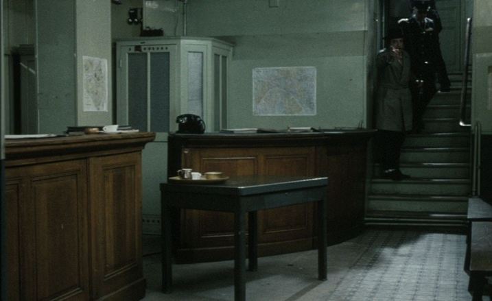
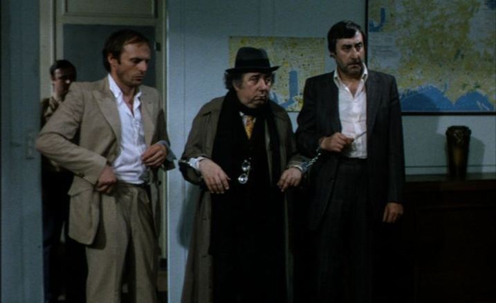
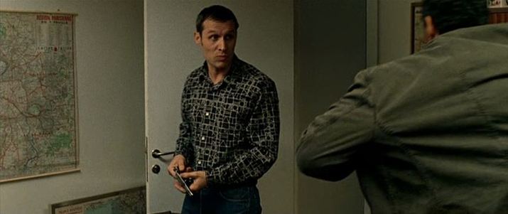
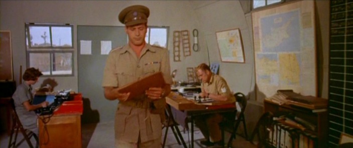
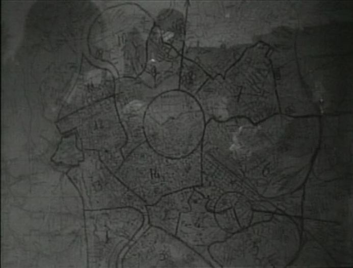
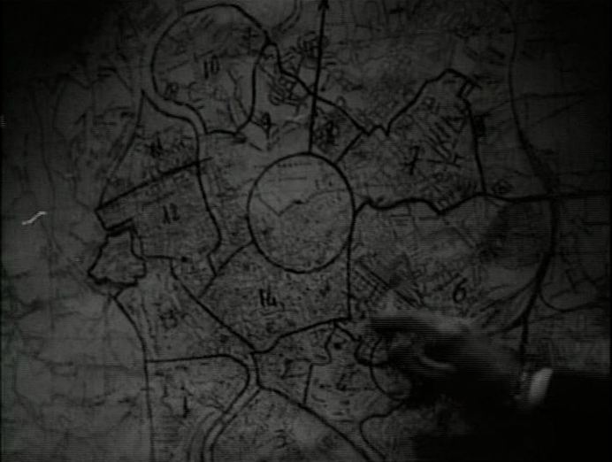
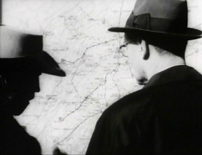
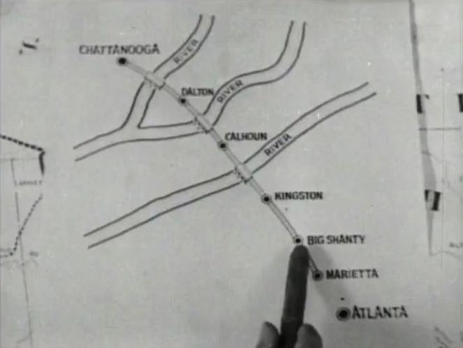
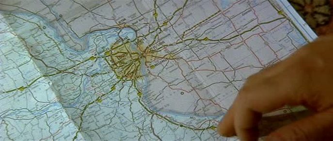
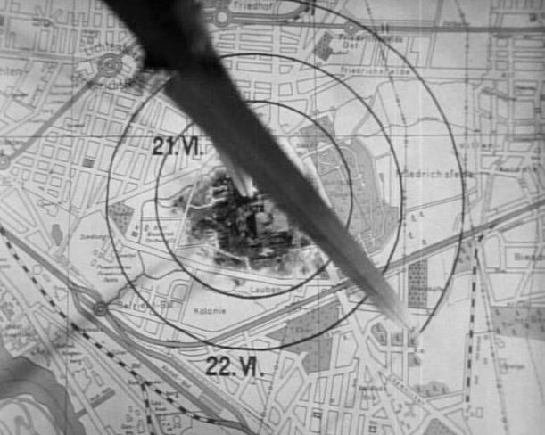
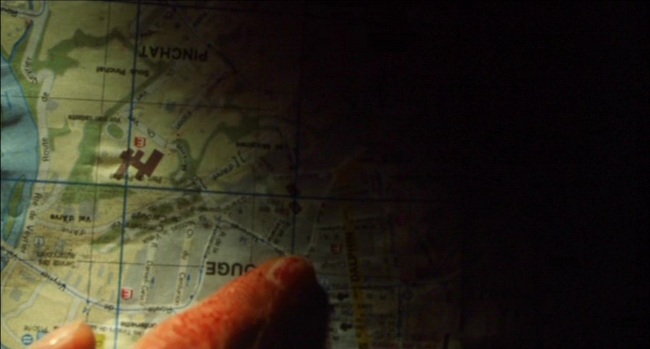
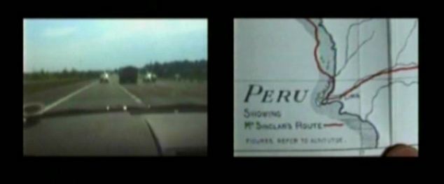
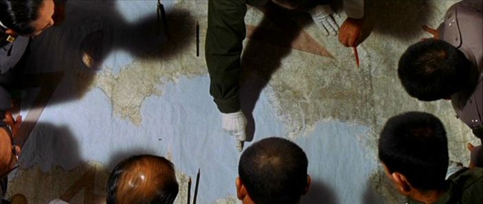
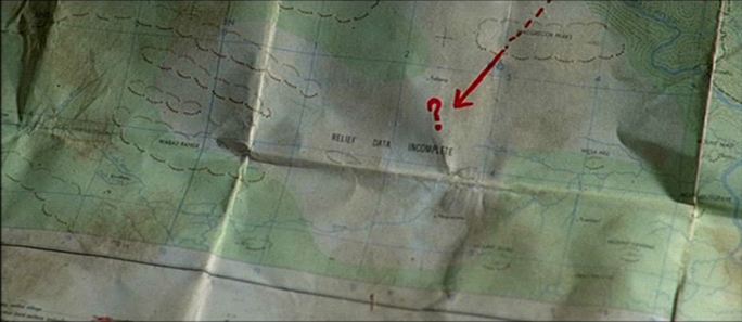
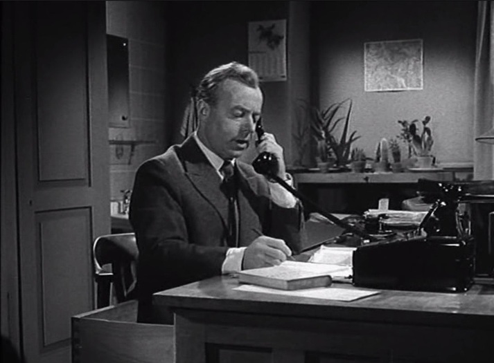
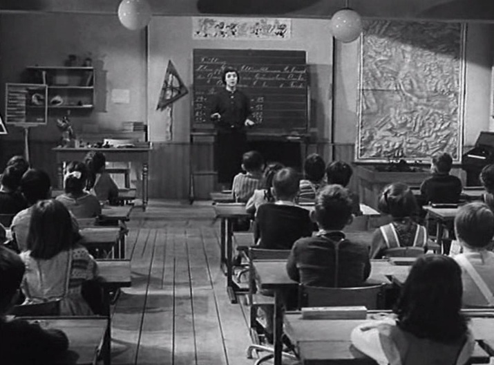
Maps provide familiar background décor in the police inspector's office and in the schoolroom: 
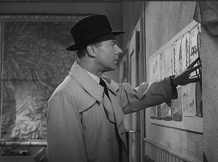
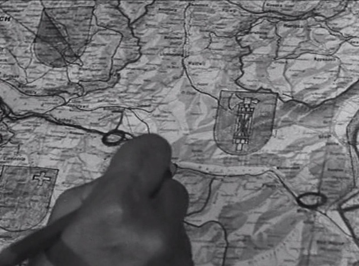
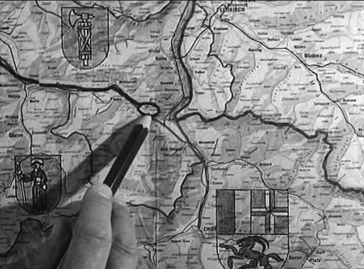
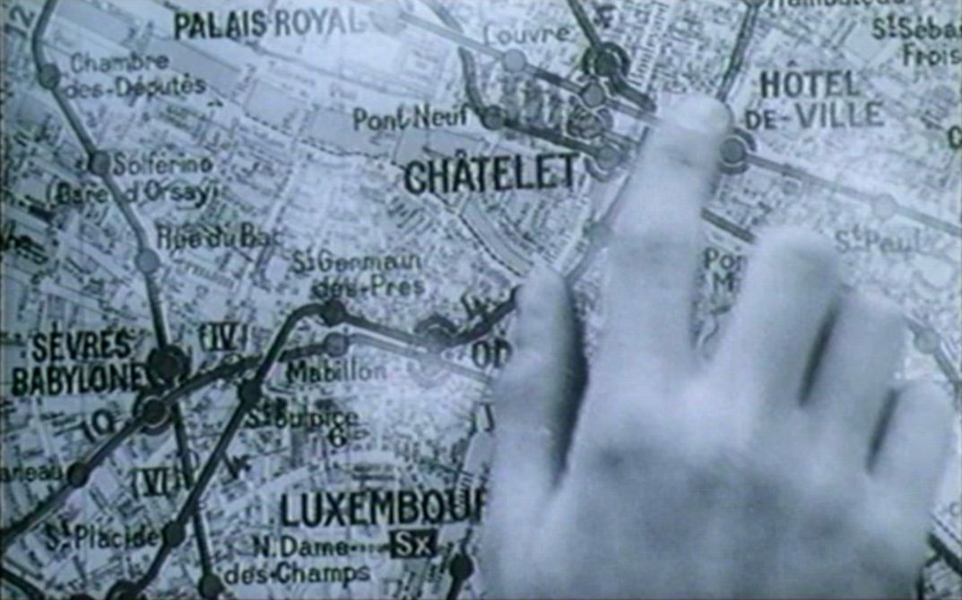
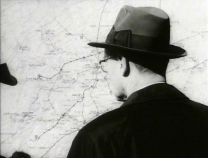
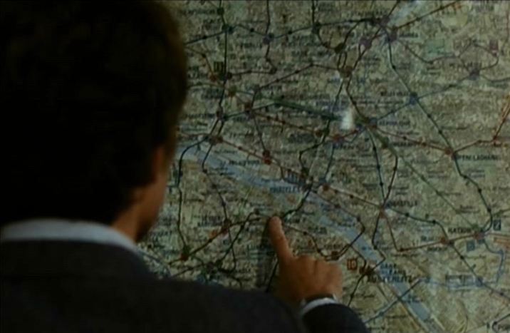
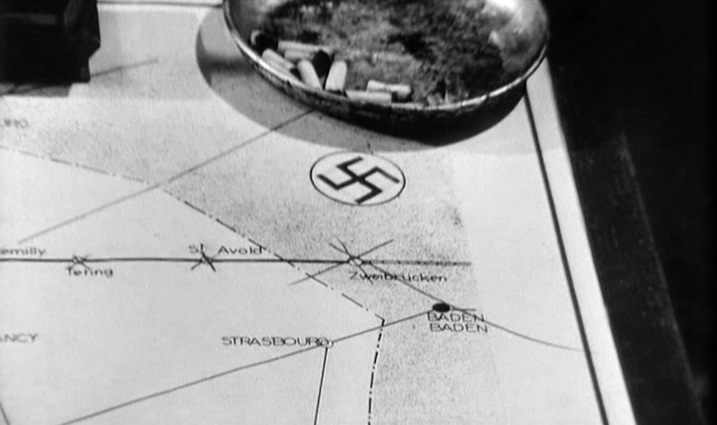
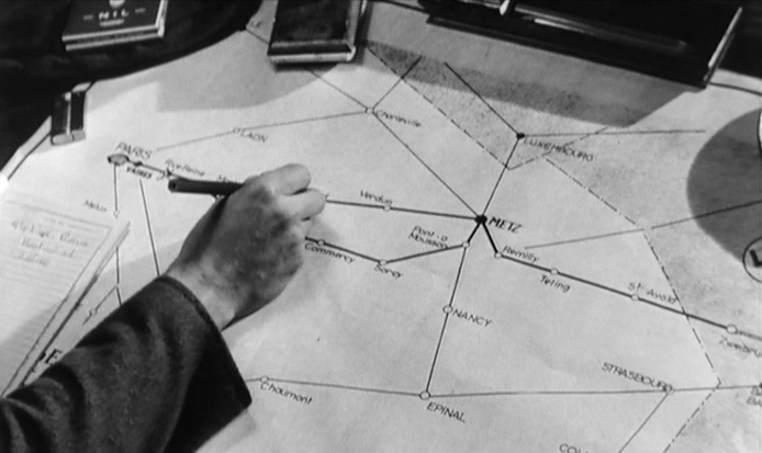
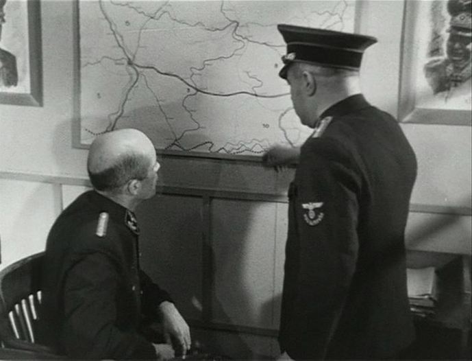
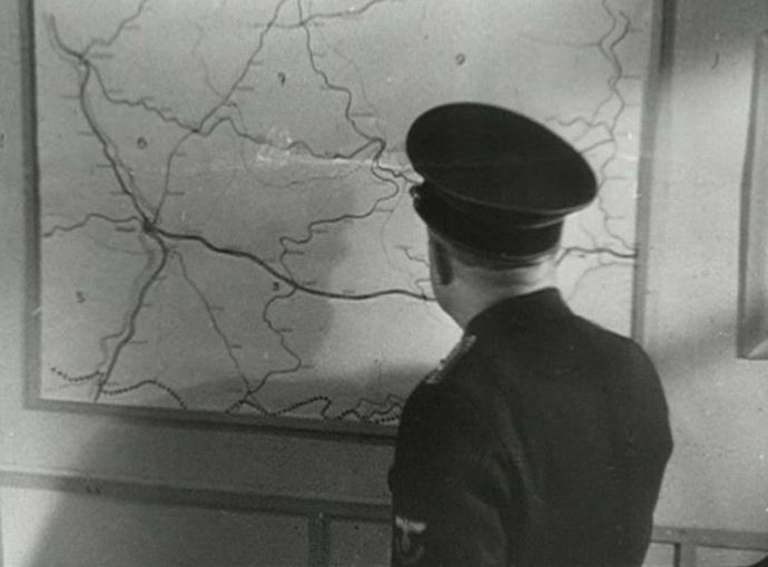
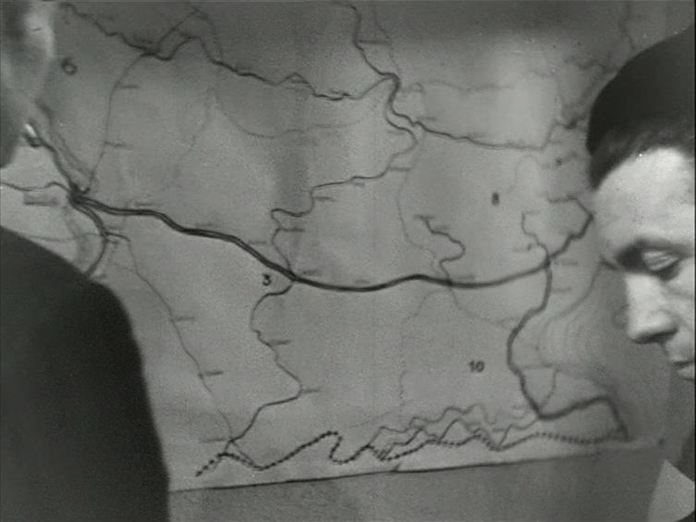
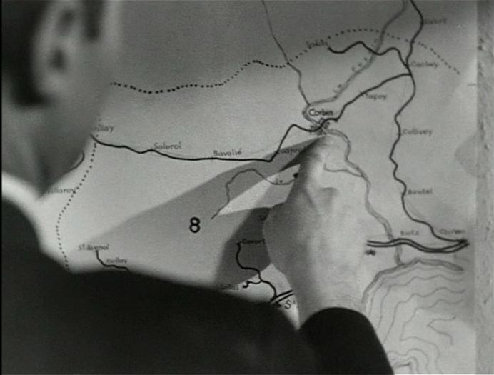
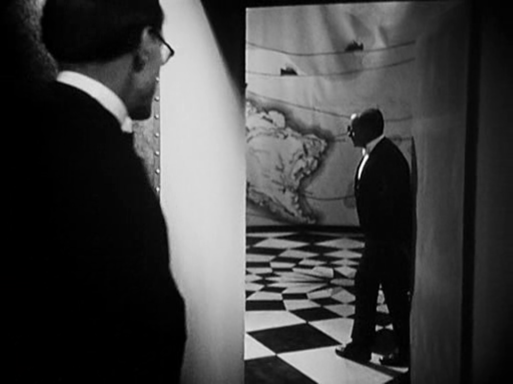
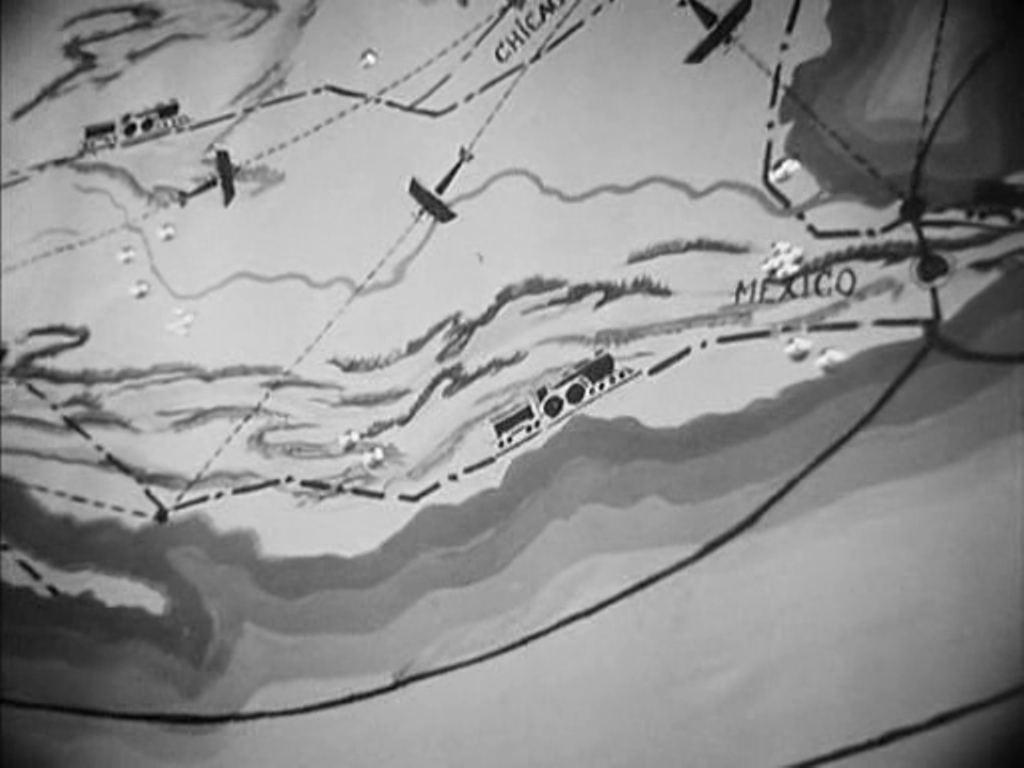
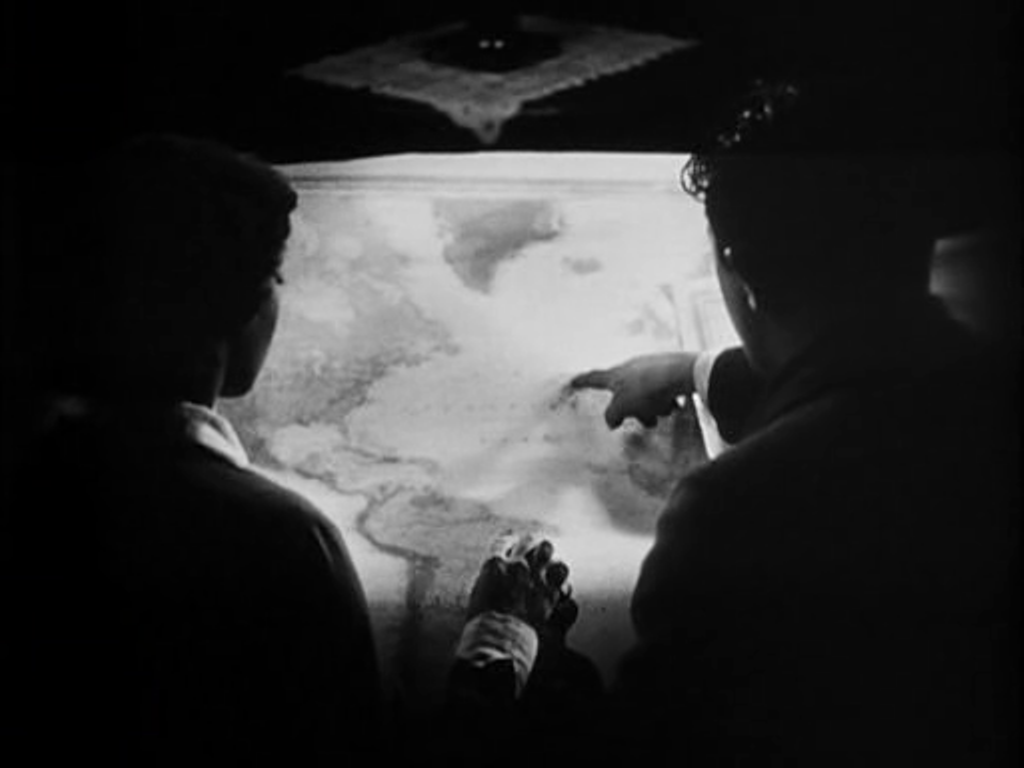
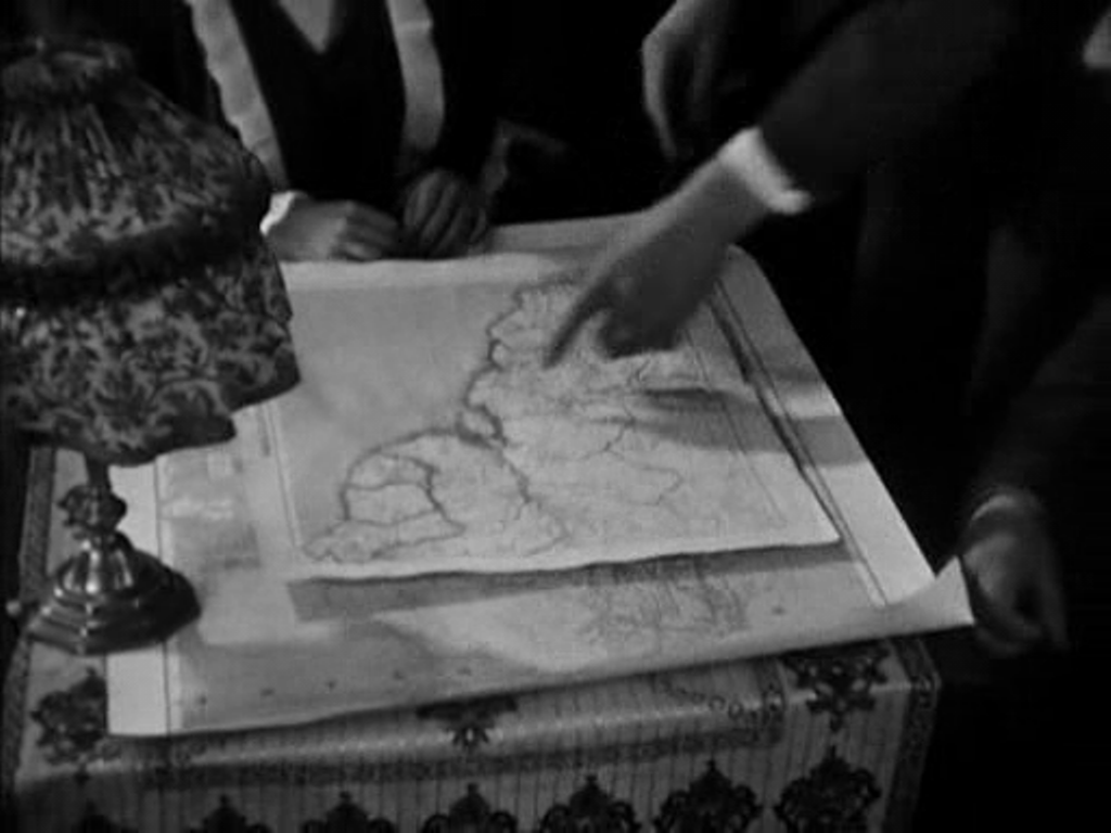
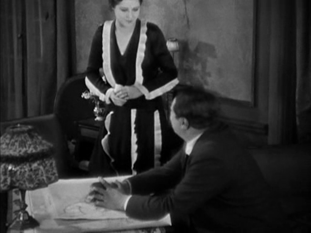
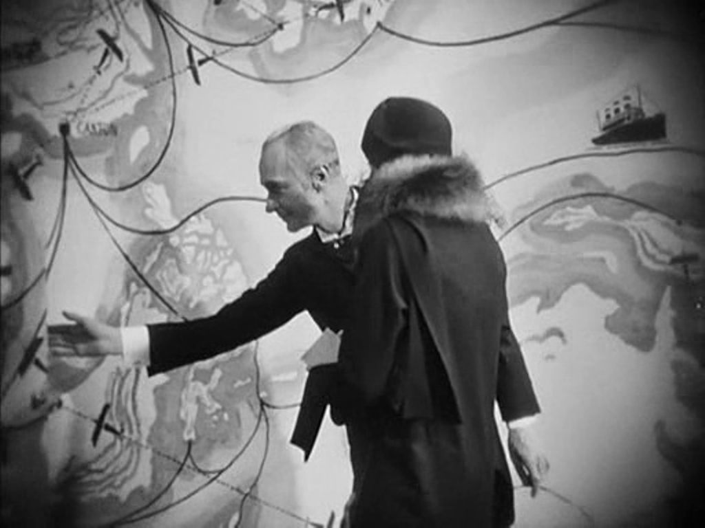
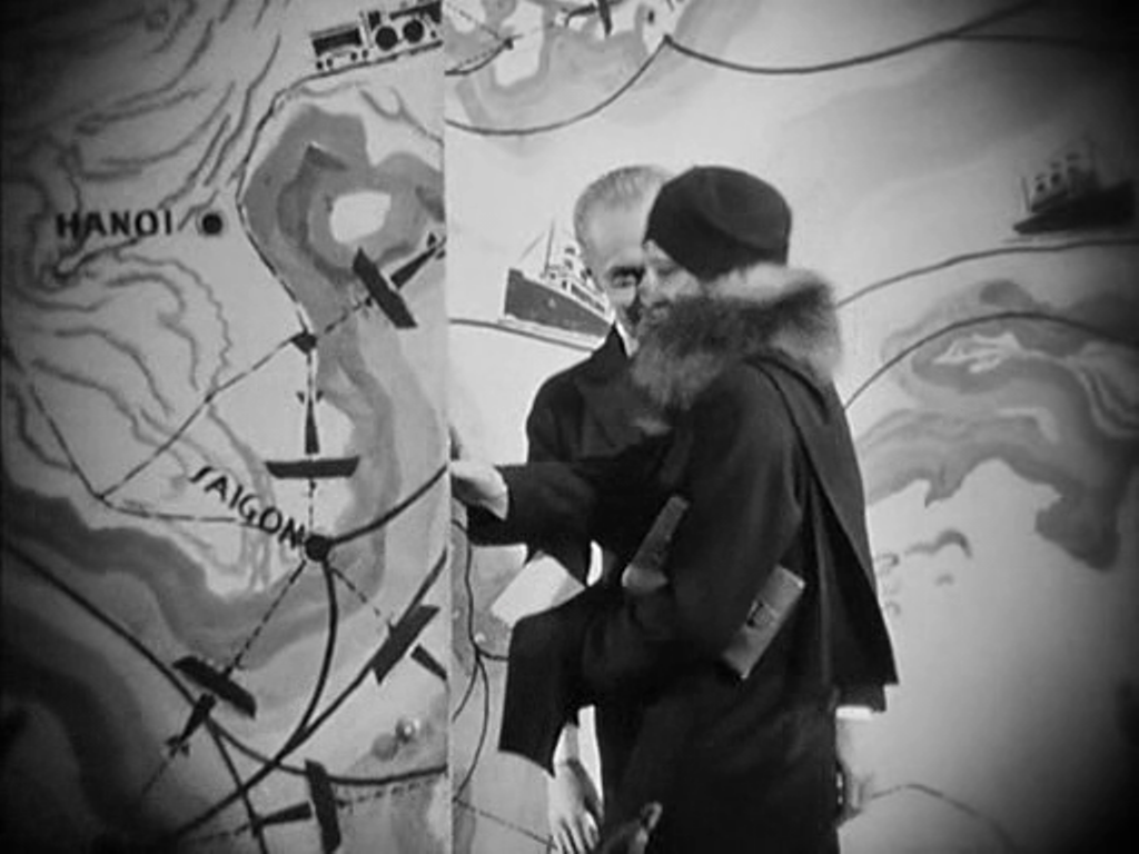
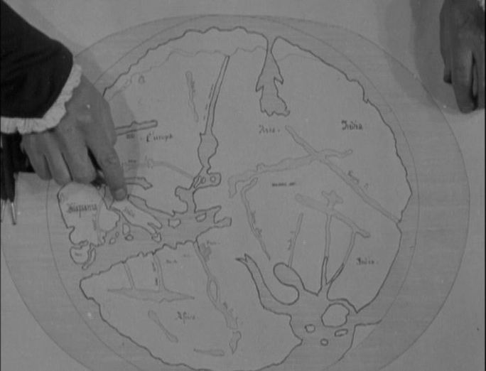
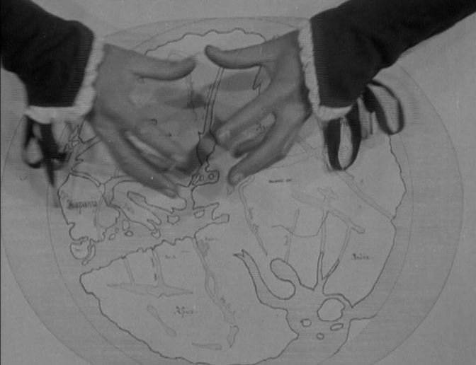
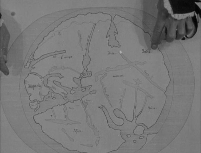
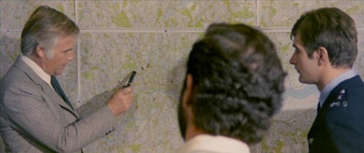
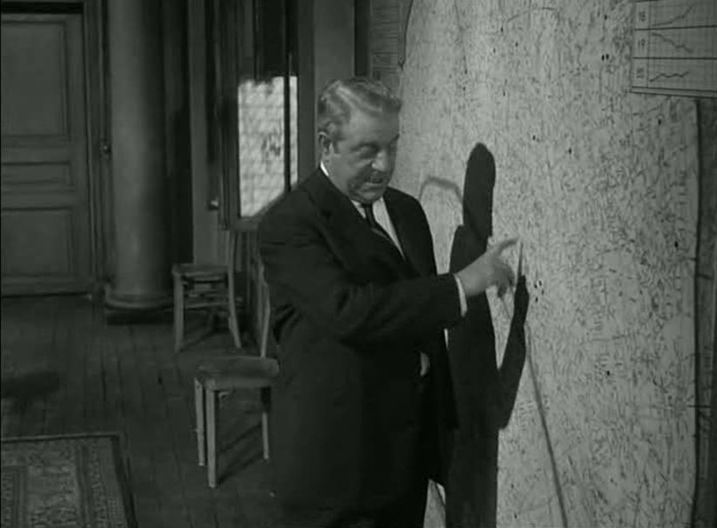
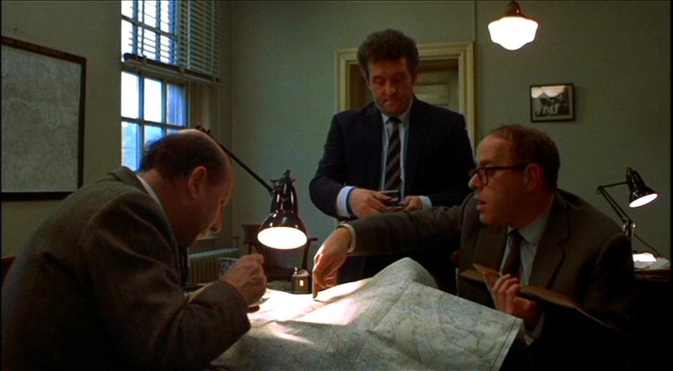
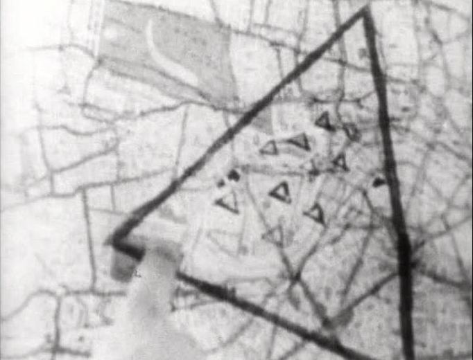
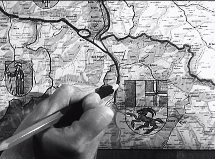
The inspector finds a clue in a child's drawing, where the ibex from the cantonal coat of arms of Graubünden is represented. On the map he works out where he will find the child-killer:
0 Comments
Maps at entrances to the métro are often just an incidental part of the street scene, like any other characteristic piece of Parisian street furniture: But they can serve more specific purposes. Since they often have displayed above them the name of the station, they enable us to identify exactly where we are in the city: These place names can be an important part of a narrative development, as in Le Samourai, where the protagonist's location underground is exactly traced on a map at police headquarters (see here and here), while the location of policemen waiting for him above ground is just as precisely identified for us: Unlike, for example, the London Underground map, on which the only overground feature is the river, this Paris map combines both levels on the one surface. For Le Samourai this corresponds to an idealised levelling, in contrast with the city's layered complexity (where, for example, the underground figures the criminal underworld). Dichotomies of under- and over-ground are common in Paris cinema, and the métro entrance map, when associated with a stairway, can serve as a simple figure of that multi-layered reality. This is true of the Fantômas image (near the top of this post) and also here, where visitors to Paris in Petit à petit embark on a fantasy-ascent through Paris, from underground to funicular and cable car (ending up in another world entirely): Among other functions served by these maps is the occasion to show a protagonist attempting to orient themselves in the city, allowing the cine-tourist in the audience a comfortable space of identification, the reassurance that he is not alone in trying to work out where he is in the film: Several of these images also appear in The Stairs: Paris, a slideshow.
This map scene is from the out-takes of the film. Otherwise what we have are the globe in the prologue (with Méliès's Voyage dans la lune incorporated), and two globes in the body of the film:
‘The long section devoted to the German convoy, for example, starts with a shot of the Resistance leader looking at a map, cuts to the German command looking at another map, cuts to the Transport Kommandantur, where two German officers consider a railway map and then fades to the same map, but this time being studied by two Frenchmen. The montage and continuities of content clearly establish an equivalence between the German and French leaderships. This equivalence will be underscored by subsequent cross-cutting between the two commands.’
Martin O’Shaughnessy, ‘La Bataille du rail: Unconventional Form, Conventional Image?’, in Nancy Wood & Rod Kedward (eds), The Libertation of France: Image and Event (Oxford: Berg, 1995), pp.20-21. ‘A film is not its shots, but the way they have been joined. As a general once told me, a battle often occurs at the point where two maps touch.’
Robert Bresson, ‘Encountering Robert Bresson’, interview with Charles Thomas Samuels, republished in The Films of Robert Bresson: Casebook (London: Anthem, 2009), p. 96. Below are more maps from Bresson films. Of the five spaces in which maps figure in L'Argent, the first is the most spectacular. We follow an agent of the banker Gundermann as he is led by a butler into an antechamber decorated to represent the reach of the banker's power. In combination with the cinematography, this mise-en-scène also displays the distorting, disorienting force of money. The second space is more conventional: in their modest apartment. the naive adventurer hero Hamelin and his wife Line examine a map of the Americas, though it becomes a mere backdrop to the expression of their love for each other. Later, in the same space, Hamelin explains his plans to the banker Saccard, with a view of a more detailed map of the region that Hamelin proposes to exploit for oil. We first see the scene diffusely, in a mirror, before passing to two readable mapshots. Next, in a room at the airport from which Hamelin will take off on a solo flight across the Atlantic, Line looks on in terror at the thought of the danger he will face. He enters, first seen as a shadow cast over a map of Europe and North Africa, which then becomes the backdrop to their passionate embrace on parting. The most often shown space in the film is the banker Saccard's office, dominated by a map of the world. Against this backdrop we see Saccard manipulate markets on a global scale, we see him attempt to seduce Line, and finally we see him arrested for fraud. Prior to Saccard's arrest we see Hamelin in Guyana (here with Antonin Artaud as Saccard's secretary). A map on the wall serves as establishing decor, but it cannot compete with the cartographic spectacles on display back in Paris. Hamelin returns to France and we see two policemen waiting to arrest him in the same room at the airport where he had kissed Line farewell. This time we see more of the cartographic decor, including the west coast of France: The film's denouement involves Line approaching Gundermann, and we see again, in more detail, his spectacular antechamber: The decor of L'Argent is one of Lazare Meerson's finest achievements, especially in the cartographic configurations of this last, framing space.
The model for the map used here appears to be this, a nineteenth-century configuration of a fifteenth-century map: This is an 1874 Hachette publication. The map is based on an illustrated initial (the O of Orbis) in a 1417 manuscript of Pomponius Mela: The scene in Christophe Colomb is the earliest instance I know where a map is discussed, pointed at and made available to be read by the spectator. Richard Abel (who attributes this film to Louis Feuillade, though a recent Gaumont edition gives it to Etienne Arnaud) signals the unusualness of the shot: ‘The first scene, in which Columbus explains his plan to the Genoa officials, is filmed in full shot, but includes a cut-in to an unusual high angle close up of a map (approximating a POV shot), with his hands coming in from the top of the frame to point and gesture.’ See Richard Abel, The Ciné Goes To Town: French Cinema 1896-1914 (Berkeley CA: University of California Press, 1994), p.273. Columbus can be seen clinging determinedly to his map in four further scenes of the film: 71/ Cosa avete fatto a Solange? [What You Done To Solange] (Massimo Dallamano 1972): London17/6/2011 'In an essay on cinematic mapping, Tom Conley has suggested that the sight in a film of a geographical map, "which refers to the real world, complicates the imaginary space of the diegesis as well as the space in which spectatorial subjectivication takes place". What is a complication for the spectator positioned vis-à-vis the imaginary space of the narrative is, however, for the spectator who has already abandoned imaginary spaces for the real world of street names and postcodes, a spectacular sanction. He can, for example, enjoy the solecism when the detective in What Have You Done With Solange? points on a map to the positions for a stake out of, according to the narrative, Battersea Park, South London, but actually is pointing to Regent's Park, in the North. The space between these two parks is, for the map-reading ciné-tourist, the space of spectatorial subjectivication.'
[In the published version of this piece I had to my shame identified Regent's Park as Hampstead Heath: ‘London Circa Sixty Six: the Map of the Film’, in Gail Cunningham and Stephen Barber (eds), London Eyes: Reflections in Text and Image (Oxford: Berghahn, 2008), p.163.] The police station is the other of the two settings in which a map in a film is most likely to be found. This is the earliest example I know of a map in such a setting, though the map is of the whole country rather than - as it will almost always be thereafter - of the city in which the action plays out. Below are some later illustrations from French police stations, all of them maps of the city or the immediate region.
‘Memory, too, is a topos in its own right: it is a place we revisit, or to which we are transported; it is the road we travel along and also the destination of our memory-journey. To this extent, memory not only has a topography, it is a topography; and the site of production of place-memories is the lived body, the body which traces out the scenes of memory. Memory, in this view, is at once emplaced and embodied.’
Annette Kuhn, ‘The Scenes of Cinema Memory’, in An Everyday Magic: Cinema and Cultural Memory (London: I.B. Tauris, 2002), pp.16-17. ‘Published on 23 September 1958, the book had a distinctive blue cover with “EXODUS” in type that evoked Hebrew lettering. A freedom fighter stretched the complete length of the book jacket, his rifle barrel casually pointing upward to the author's name. Maps are used for the endpapers and to introduce each of the five books of the novel (an intentional parallel with the five books of Moses that make up the Torah). A biblical quotation accompanies each of the maps that introduce an individual section. Additionally, a map of the Middle East emphasizing the minuscule region of Israel appears inside the front cover. The rear map is a close-up of the country , the verso the northern part of the land, the recto the southern. Uris clearly felt the need to situate the reader geographically throughout his 626 pages.’
Ira B. Nadel, Leon Uris: Life of a Best Seller (Austin TX: University of Texas Press, 2010), p.108. Preminger’s film features several maps, but none of them works to situate the viewer geographically throughout its 119 minutes. ‘Surveillance - the controlling view of the city from above, as seen on a map, or from a distance, as through a camera lens – is the key to Bergmann's particular form of power, but also its limitation. As Peter Brunette has pointed out, his power of surveillance is a directfunction of his distance from the city at street level. He views it from above, he knows it through maps and photographs (cameras are like extensions of his eyes), through his agents and spies, like Ingrid, and through the collaboration of the Fascist police, who have local knowledge and intelligence networks of their own that he can tap into.'
David Forgacs, ‘Space, Rhetoric and the Divided City in Roma Città Aperta, in Sidney Gottlieb (ed.), Roberto Rossellini’s Rome Open City (Cambridge: Cambridge University Press, 2004), p.113. ‘Some Métro stations in Paris have maps with colored bulbs along each line of the system. To use the map, passengers push a button with the name of a desired destination, and the bulbs display the recommended itinerary. Like the lines on the palm of a hand, those of the Métro system can be read, especially given the multicolored display of routes whose configuration passengers soon memorize. But what makes an itinerary efficient does not always make it desirable, especially when, in a mode of flânerie, movement becomes an end in itself.
Maps show place-names that can be plotted, but they also function in other ways. Michel de Certeau writes that “proper names carve out pockets of hidden and familiar meanings. They ‘make sense’ as the impetus of movements, like vocations and calls that turn or divert an itinerary by giving it a meaning (or a direction) that was previously unseen. These names create a nowhere in places, they change them into passages.” Maps show where the Place des Vosges used to be and how to find the hillside park at Buttes-Chaumont. But it is almost as if, in order to function as formal ensembles of abstract places, maps must erase their genesis. From log to itinerary, the history of maps seems to have evolved in the name of science — from recording a route taken in the past to prescribing one to be followed in the future.’ Dudley Andrew and Steven Ungar, Popular Front Paris and the Poetics of Culture (Cambridge MA: Harvard University Press, 2005), pp. 292-93. ‘In my writing I am acting as a map maker, an explorer of psychic areas, to use the phrase of Mr Alexander Trocchi, as a cosmonaut of inner space, and I see no point in exploring areas that have already been thoroughly surveyed.’
Willam S. Burroughs, ‘Censorship’, The Transatlantic Review, 11 (1962), p.6. ‘As indicated by the subtitle of the film, the Bunting house is situated in London. In the Avenger's range of action, the house is localized on the city map, by both the police and the lodger, in the area where Vauxhall Bridge Road becomes Bessborough Gardens, just before Vauxhall Bridge. As Gary Giblin has demonstrated, this location in Pimlico refutes the claim, repeated by several commentators and Hitchcock himself in a 1970 interview, that the cinematic Buntings lived in Bloomsbury.’
Steven Jacobs, The Wrong House: the Architecture of Alfred Hitchcock (Rotterdam: 010 Publishers, 2007), p.68. ‘Like Moby- Dick, whose ribbed brow mirrored Ahab's, King Kong is an image both of the Other (specifically — depending on the sensibility of the perceiver — gorilla, ape-man, black male) and of the Self (our generic self as Hominid). Carl Denham in many ways resembles Ahab, moreover, when Denham finally "spill[s] it" about the nature and destination of the secret voyage, he says of Kong's Island, "you won't find that island on any chart.” Like Queequeg's home, "true places never are" on any map. But this one must be just off the map, at the edge of what is known, where there be dragons. Seelye assumes that the dinosaurs are the only dragons here as Kong ironically becomes the chivalrous knight defending the damsel Ann Darrow from the dragon tyrannosaurus. Noël Carroll, on the other hand, dismisses the dragon completely from the mythical architecture of the film: he claims that "Kong is not even peripherally a dragon story. The reason is simple; dinosaurs do not belong to the same symbolic species as dragons". Dinosaurs, he claims, are not "fusion figures" as dragons are. Once we realize that King Kong is a retelling of the Andromeda myth we see how both these readers are wrong. Kong is a dragon become an ape.’
Joseph Andriano, Immortal Monster: the Mythological Evolution of the Fantastic Beast in Modern Fiction and Film (Westport CT: Greenwood Press, 1999), p.46. ‘There is a scene early on in The General in which the Union spy, Captain Anderson, shows his commanding officer a map of the railroad tracks between Chatanooga, where the Northern forces are encamped, and Marietta, Georgia, where the opposing Southern army is headquartered. It is along this route that Anderson plans to hijack Johnnie Gray's locomotive The General and then drive it behind Northern lines whence it can be used to spearhead an attack upon the Confederates. I have heard commentators refer to this map as a diagram of Keaton’s narrative, literally a plot line. Keaton's evident love of geometry and especially symmetry , it is suggested, drew him to this neatest, cleanest, most elegant of narrative designs. First, the Union hijackers steam the train one way with Johnnie in earnest pursuit; then he recovers the engine and races home in the opposite direction with the Northerners on his tail. Was there ever a more linear narrative? Moreover, the symmetry involved in these two chases over the same terrain affords the opportunity for a wealth of comic variations on various recurring themes, such as decouplings and side-trackings, made all the more risible for being repeated.
This interpretation of the map is very tempting.’ Noël Carroll, Comedy Incarnate: Buster Keaton, Physical Humor and Bodily Coping (Chichester: Wiley-Blackwell, 2009), pp.159-60. ‘This intervention of the aleatory signals the start of a proliferating structure, the fragment of music intensifying the indecision before the appearance of a map in close up. The city, roads and rivers evoke a nerve cell and its many ramifications...’.
Jean-Louis Leutrat, Resnais: l’Amour à mort (Paris: Presses de la Sorbonne Nouvelle, 1992), p.124. (En souvenir de Jean-Louis, décédé le 29 avril 2011.) ‘Is, then, Manhattan hard to point to? But if you were approaching La Guardia Airport on a night flight from Boston, then just as the plane banked for its approach, you could poke your finger against the window and, your interest focussed on the dense scattering of lights , say "There's Manhattan"; so could you point to Manhattan on a map. Are such instances not really instances of pointing to Manhattan? Are they hard to accomplish? . It feels hard to do (it is, then and there, impossible to do) when the concept of the thing pointed to is in doubt, or unpossessed, or repressed.’
Stanley Cavell, The Claim of Reason: Wittgenstein, Skepticism, Morality and Tragedy (Oxford: Clarendon Press, 1979), p.74. 'Two shots angled have been used for this map, which refer to the two perspectives that have dominated cartography historically: (1) the oblique perspective – or “perspective militaire” – has been widely used by artists since the Middle Ages, to represent landscapes. (2) The vertical perspective or bird’s eye view characterizes the more modern and scientific representation of Earth. These two subsequents views of the same map capture the passage from a classic to a more modern perspective in cartography.'
Sébastien Caquard, 'Murder and Modern Mapping', (e)space & fiction 'The upside down map thus, ironically, provides a “corrected” orientation. One of the words appearing upside down on the map is Carouge – a district of Geneva, but also by its obvious pun, a designation of something that is not on the map: Auguste's red jeep. This inversion of the map coupled with the code written upside down on the map and designating something that cannot be part of the map's cartographic function force us to think that Kieslowski's atlas in this film is going to be of a world “à l'envers [upside down]” and one whose itinerary must be followed by some other code that we must substitute for any known cartography.'
T. Jefferson Kline, Unraveling French CInema (Chichester: Wiley-Blackwell, 2010), p.102. 'I seriously was interested in where things fell on the map. I thought psychogeography could be adapted quite conveniently to forge a franchise – which is what happened, more than I could have imagined. It took off. I think of it, I suppose, as a psychotic geography – stalking the city.'
The Verbals: Iain Sinclair in conversation with Kevin Jackson (Tonbridge: Worple Press, 2002), p.75 'And this was Brecht's notion of dialectic: to hold fast to the contradictions in all things, which make them change and evolve in time. But in Hegel, Contradiction then passes over into its Ground, into what I would call the situation itself, the aerial view or the map of the totality in which things happen and History takes place.'
Fredric Jameson, 'Notes on Globalization as a Philosophical Issue', in Fredric Jameson & Masao Miyoshi (eds), The Cultures of Globalization (Durham: Duke University Press, 1998), p.76. 'The expression “obscured by clouds” refers to those areas that have never been cartographically surveyed since they are always blanketed in cloud.' Cosmopolis
|
|