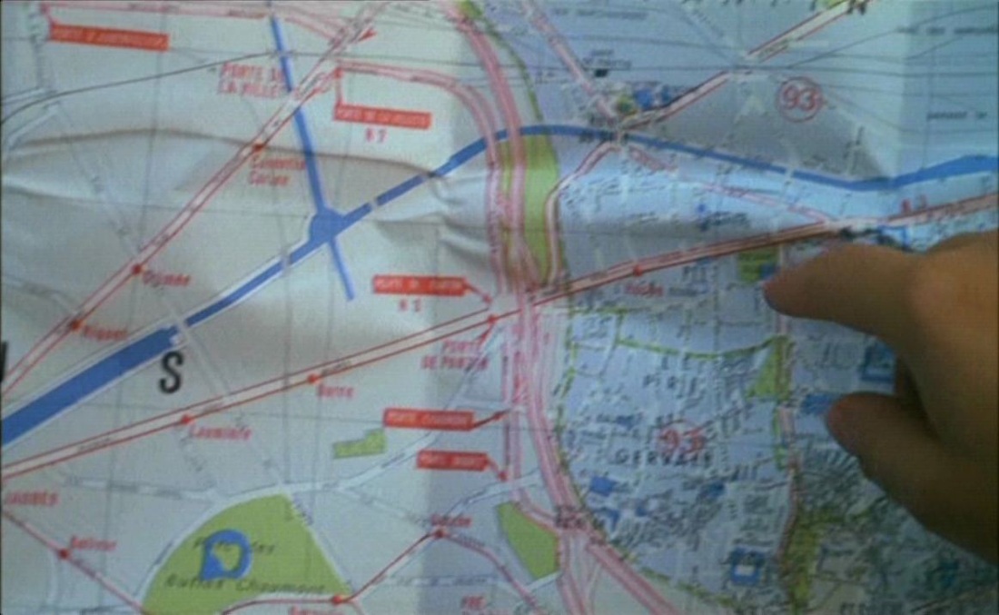
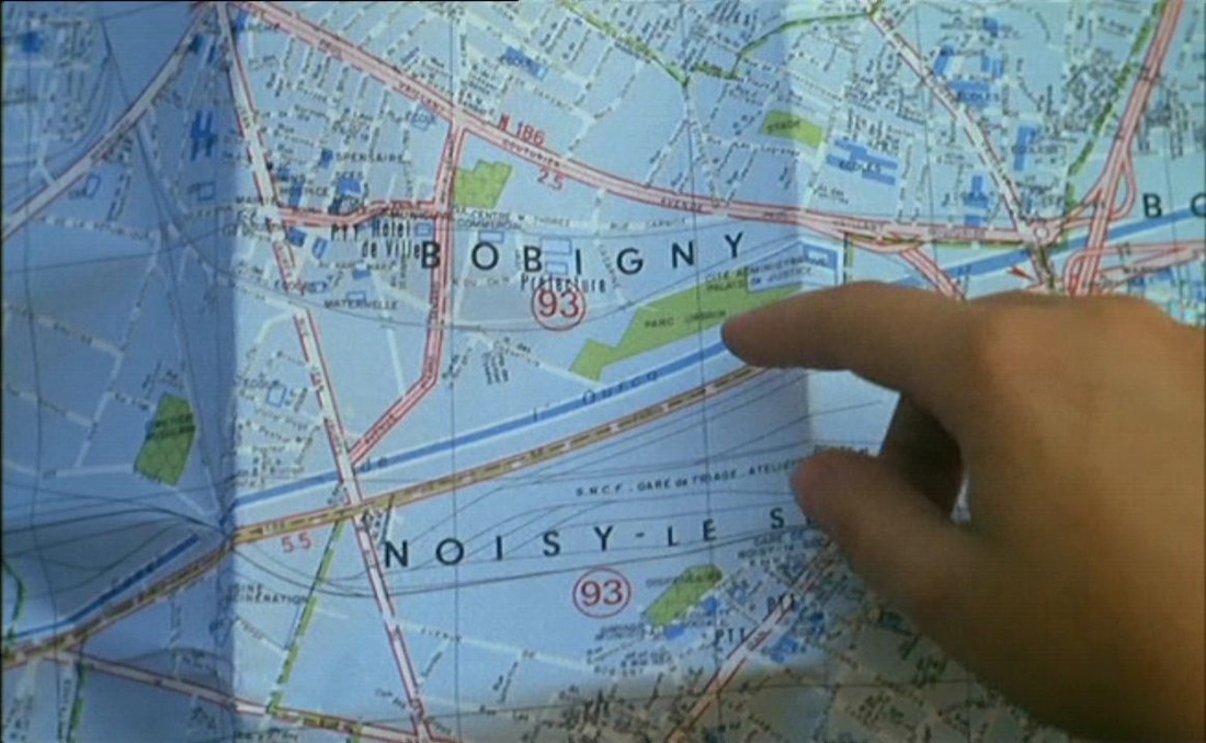
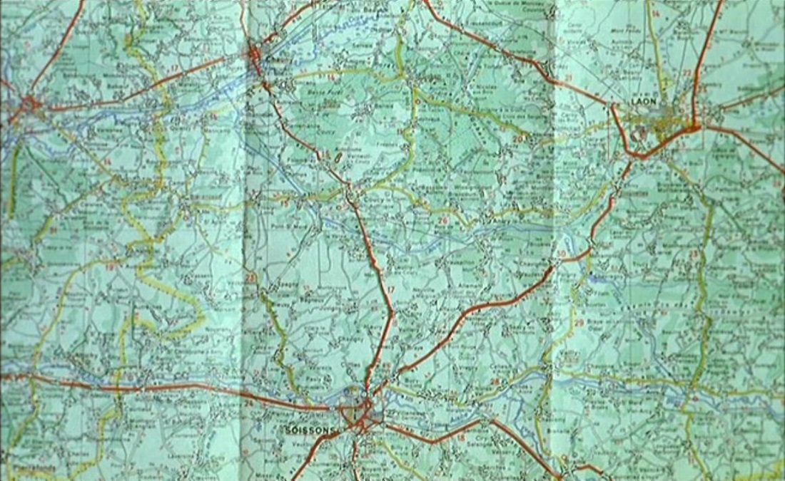
 The principal map is of course the map of Paris onto which is drawn a version of the jeu de l'oie. This map has its reverse image in the map of the greater Paris region printed on the reverse, onto which the jeu de l'oie is also, necessarily, imposed: 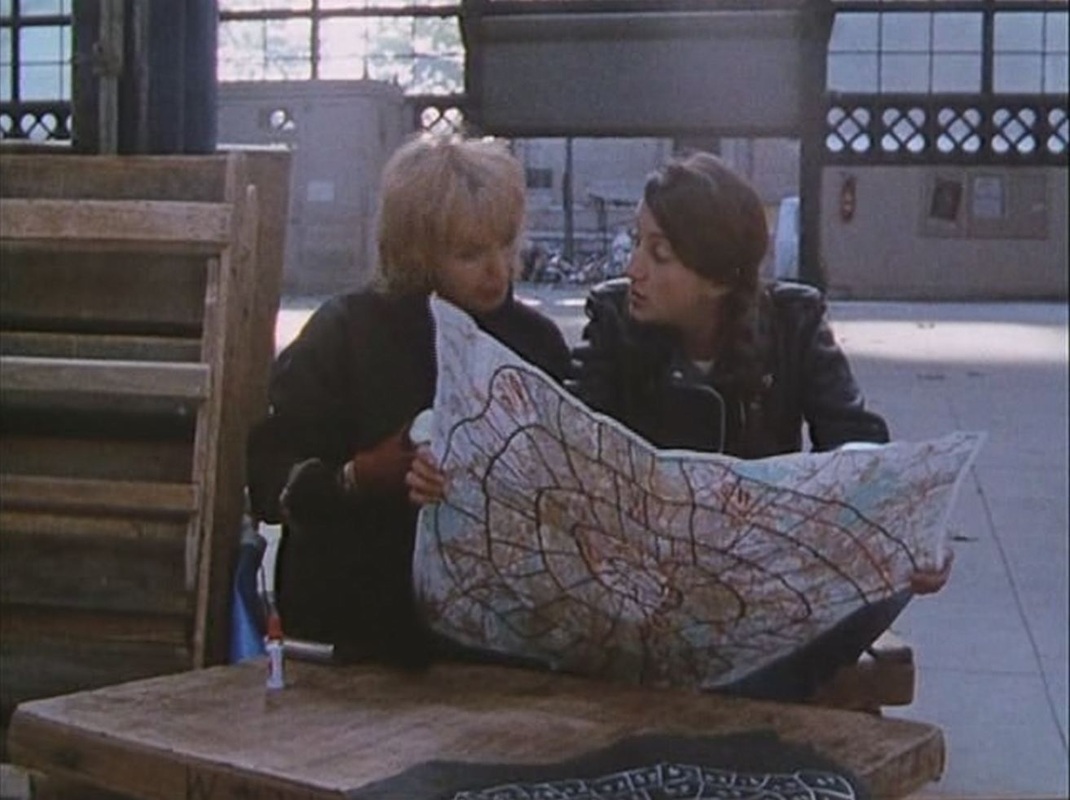 The principal map has as complement a non-map emulating the layout of the jeu del'oie: 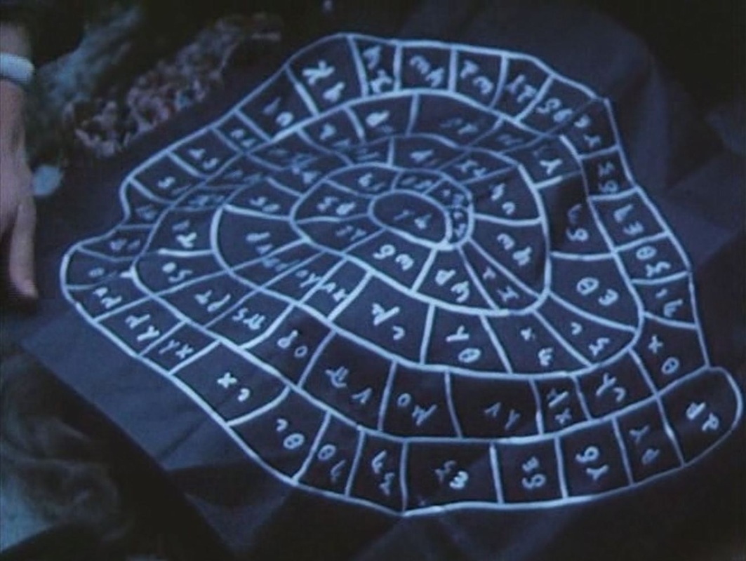 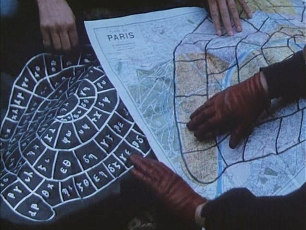 Of the other maps in the film, only one seems to signify - the same large map of the Paris métro, positioned incongruously in two different places: 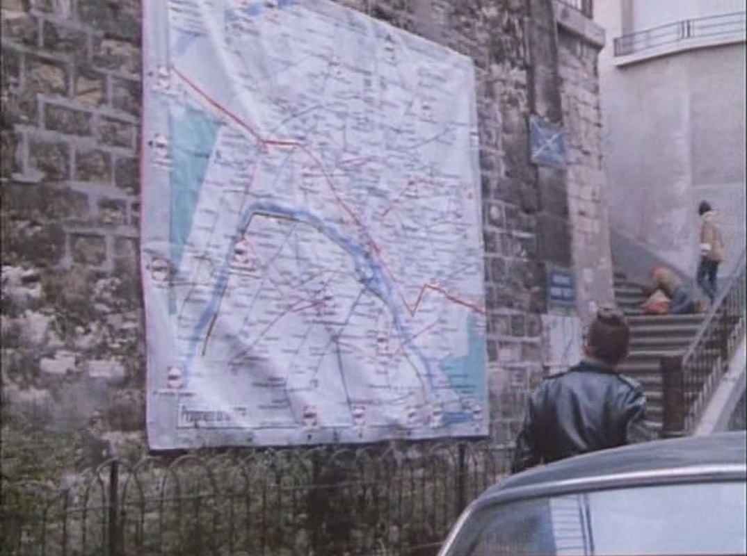 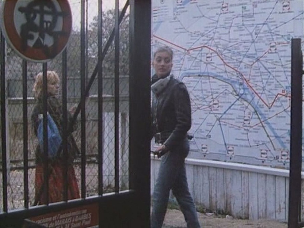 Four other maps are glimpsed in passing:    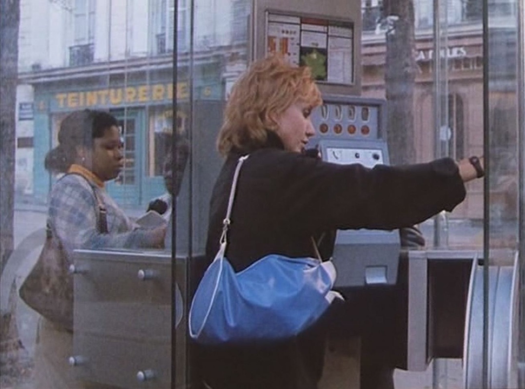 For details on the places in this film, see here.
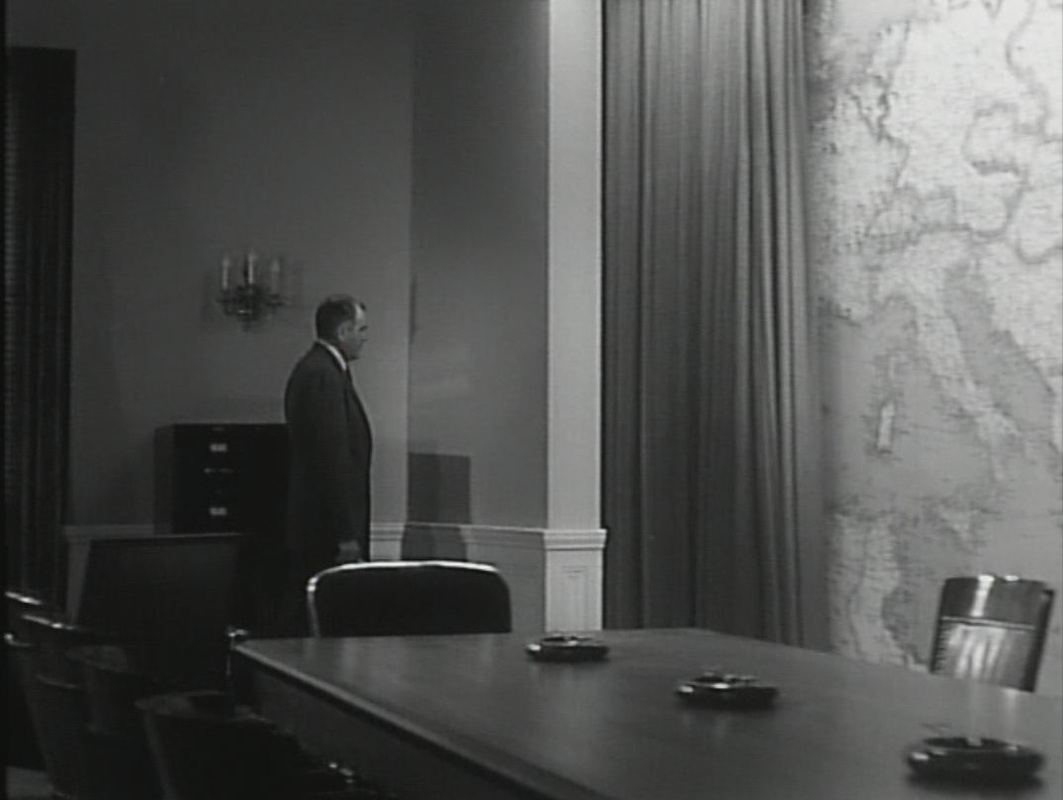
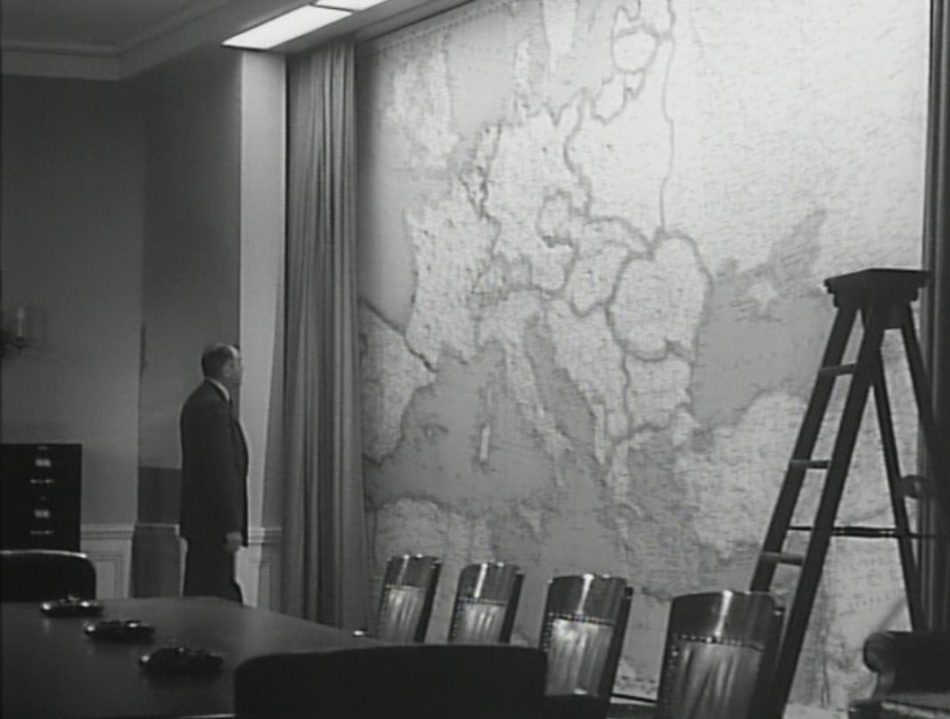
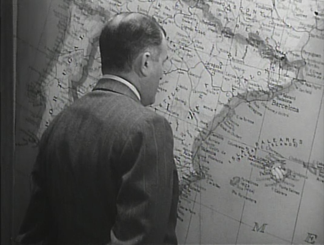
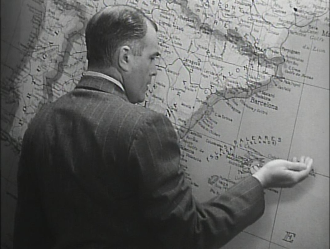
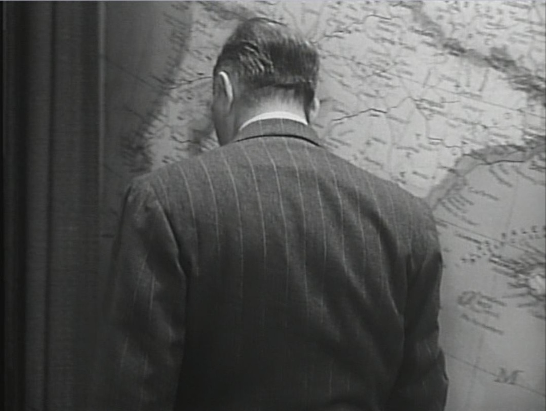
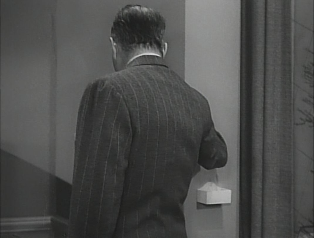
A button pressed draws the curtain back from the map of Europe:
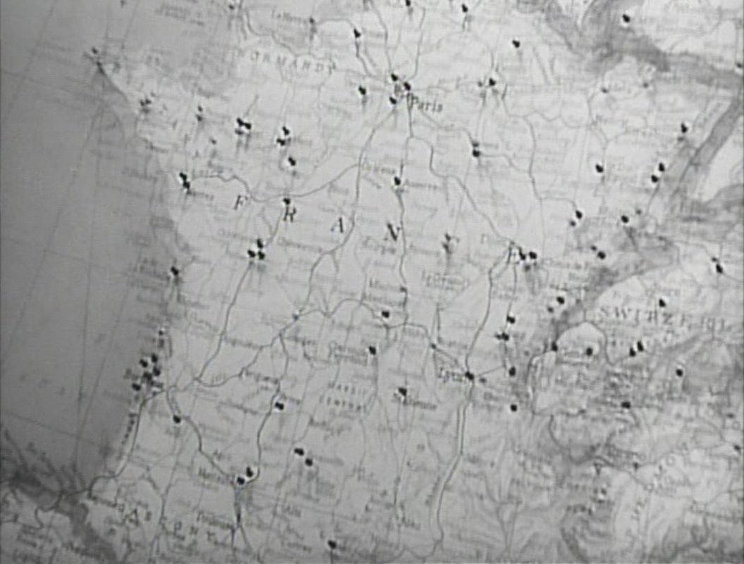
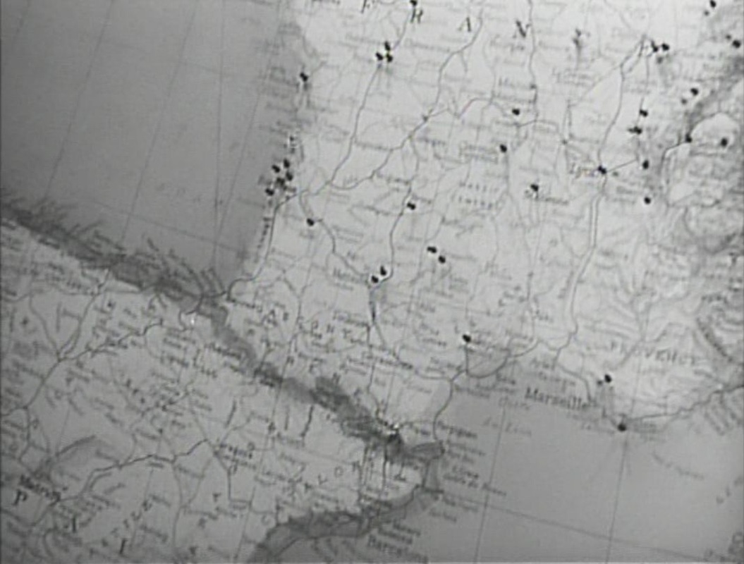
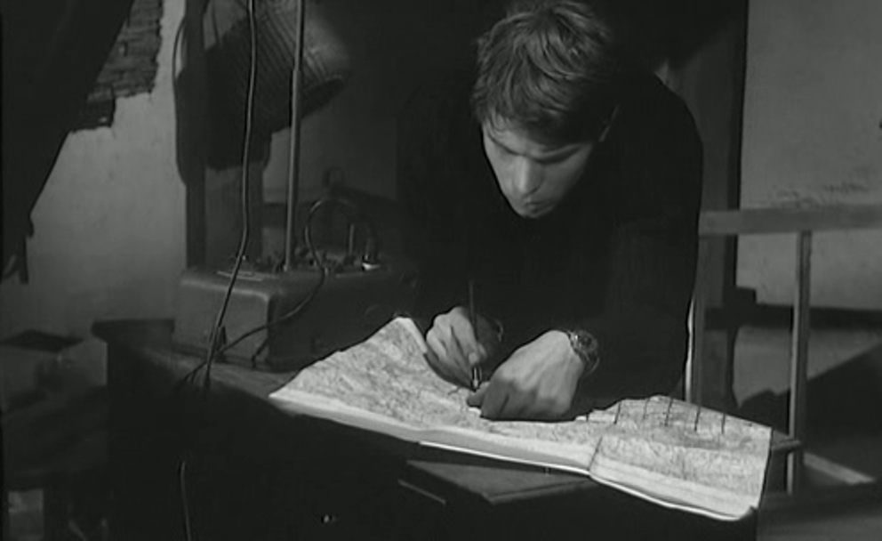
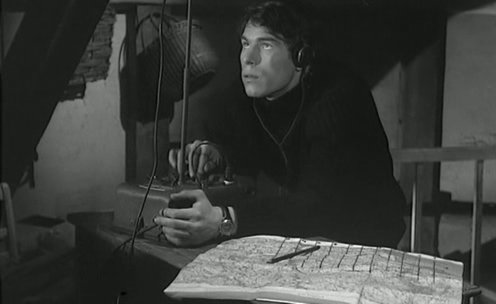
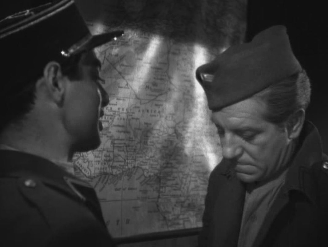
The pins on the map represent OSS operatives. When he learns that two agents have died, he removes their pins from the map and drops them into a waiting receptacle: 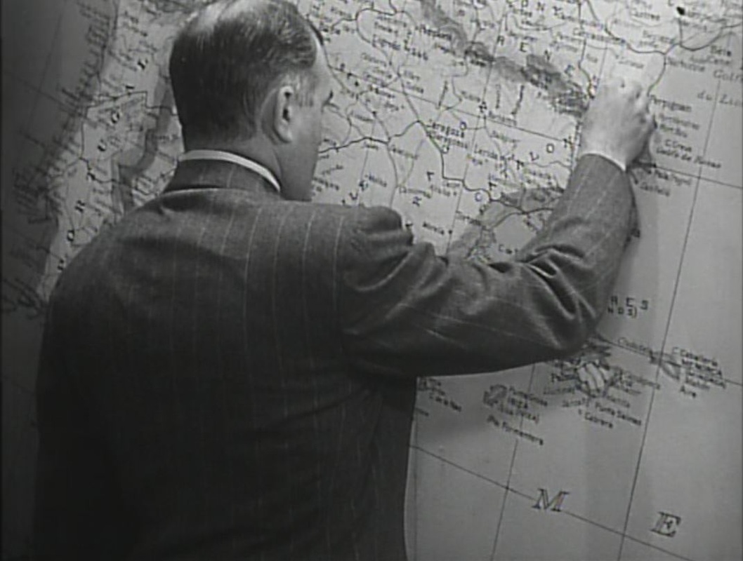
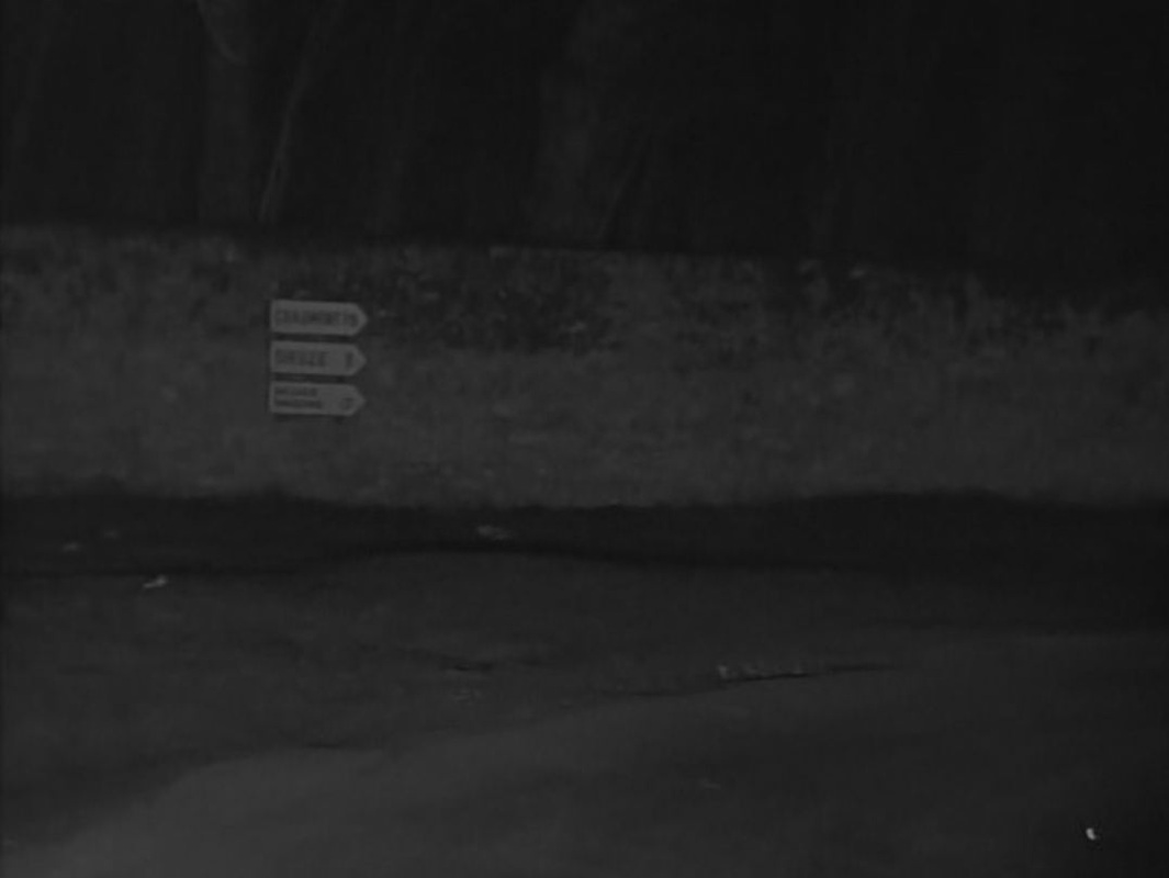
     Maps feature heavily, but the central spatial machinery connecting places in the film is the sending of postcards:  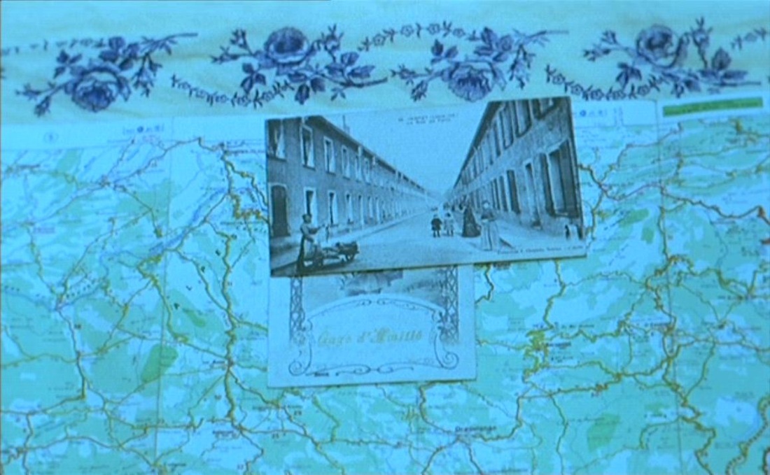 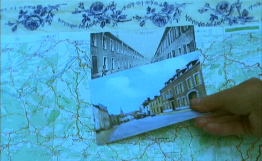  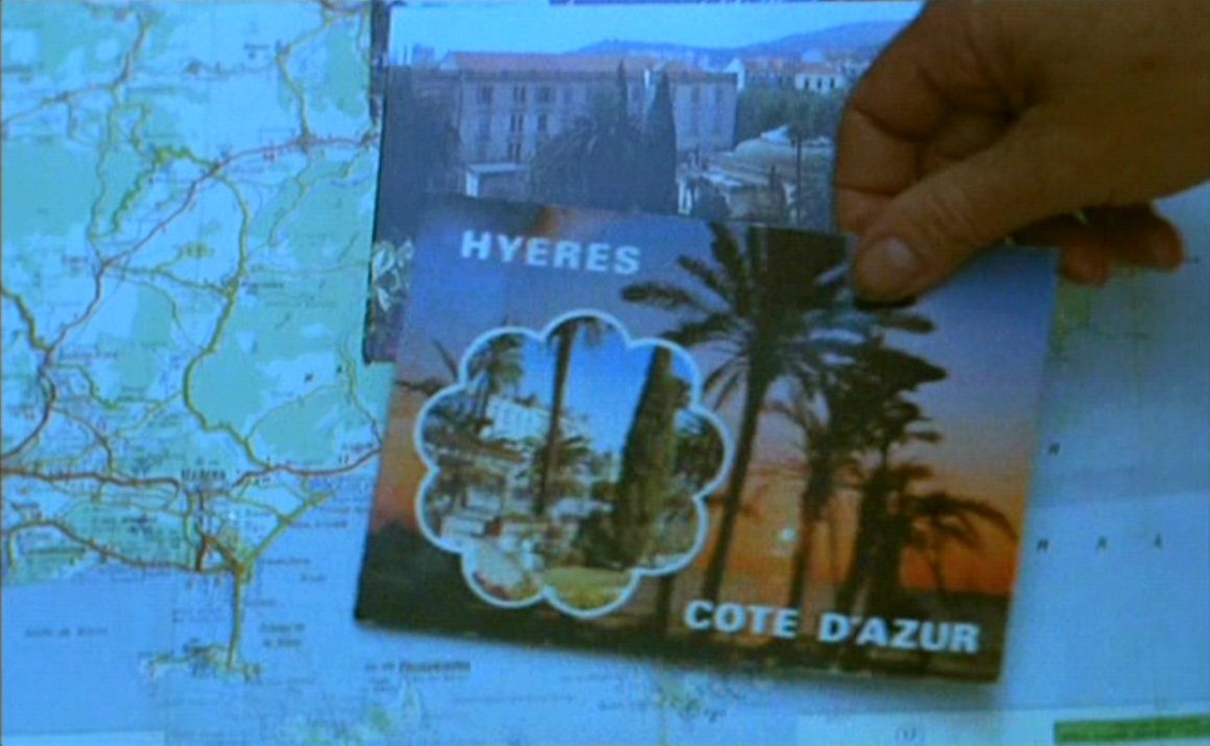  Cléo de 5 à 7 (1961)  Jacquot de Nantes (1991) 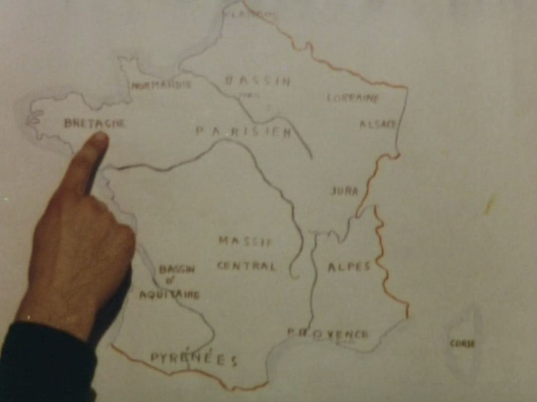 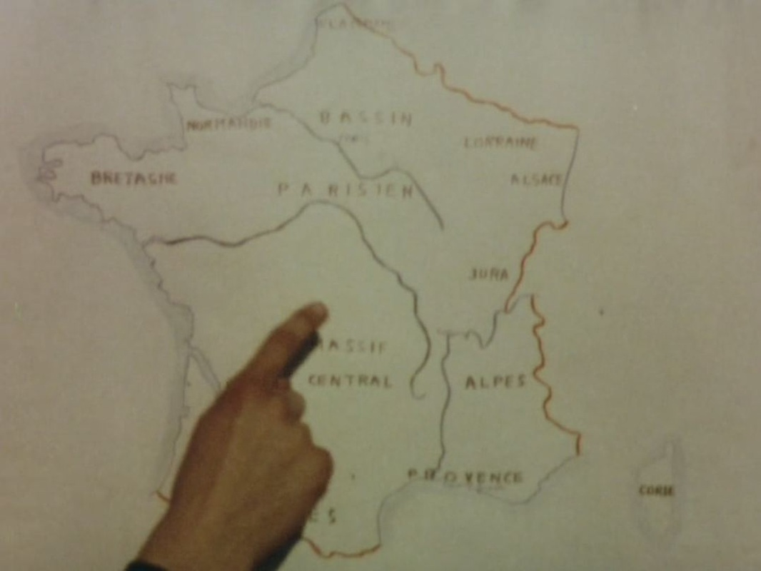 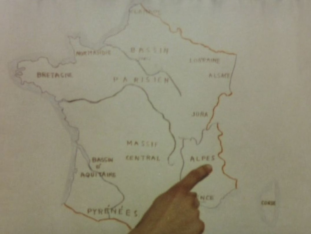 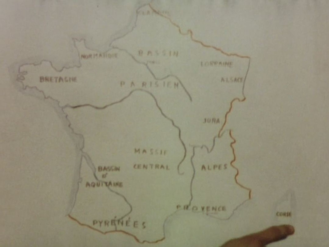 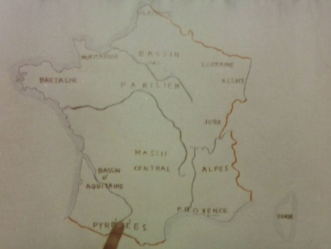 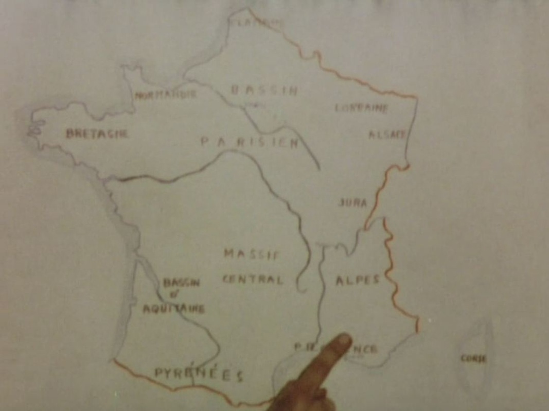 After pointing to relevant locales on the map of France, Moullet's New Wave documentary (reflexive, intertextual, montage-driven, jumpcutting) about abandoned or near-abandoned villages uses regional maps to fix exactly the places filmed, and to illustrate movement from one place to another: 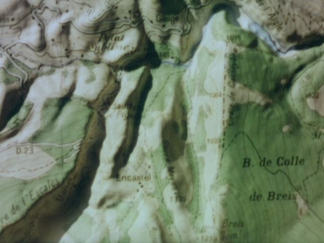 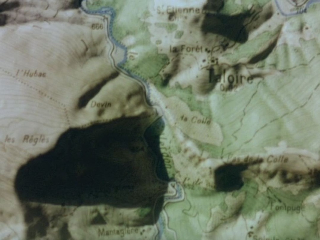 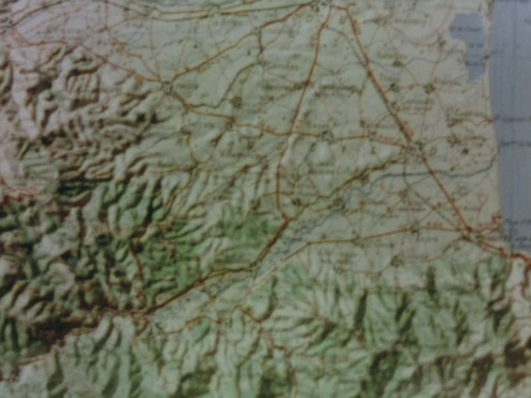 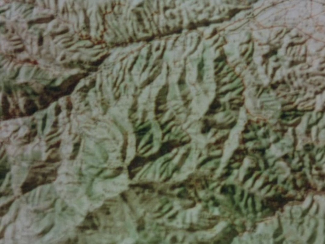 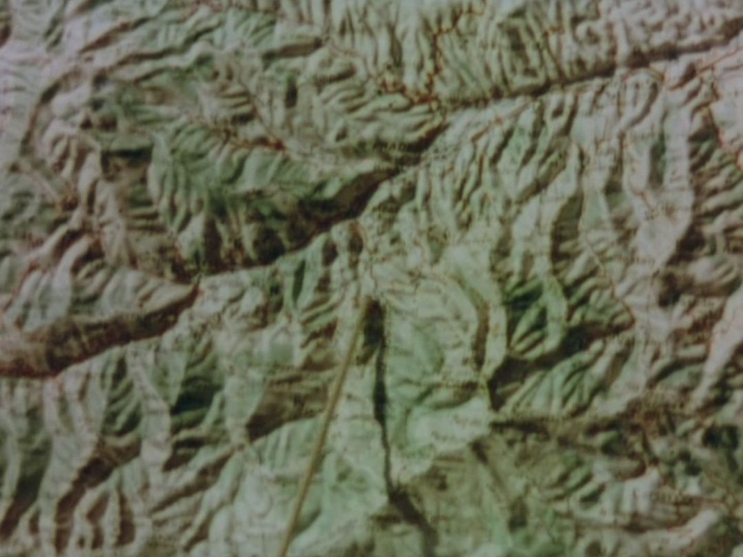 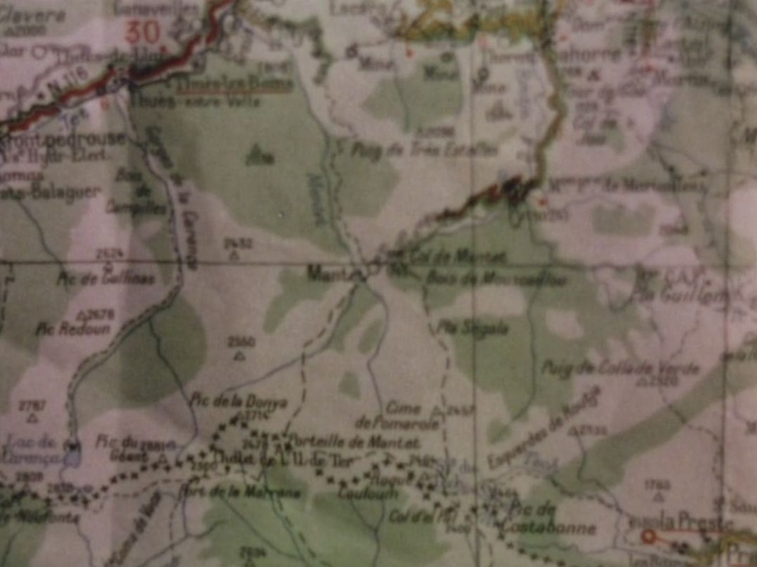   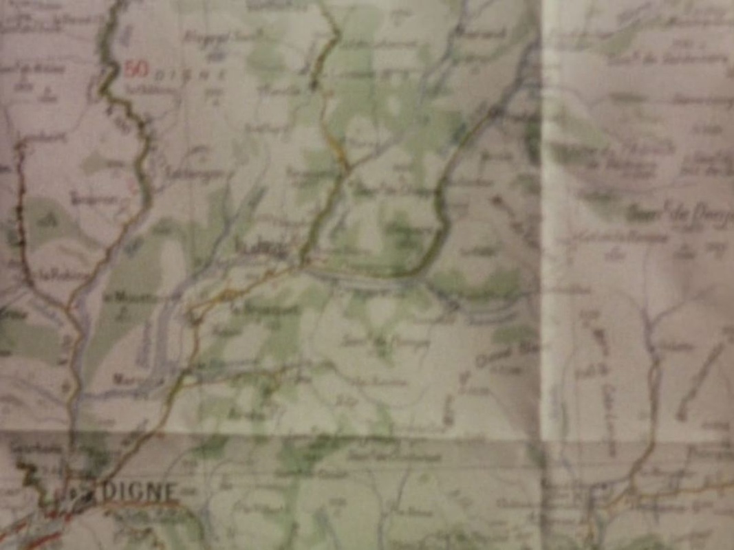  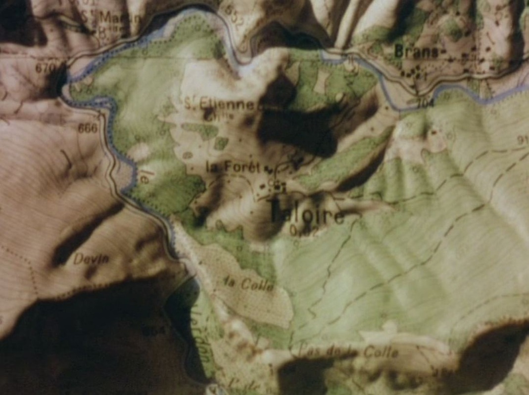 Two maps in the mise-en-scène, in schoolrooms, serve as counterpoint to the maps in the montage: 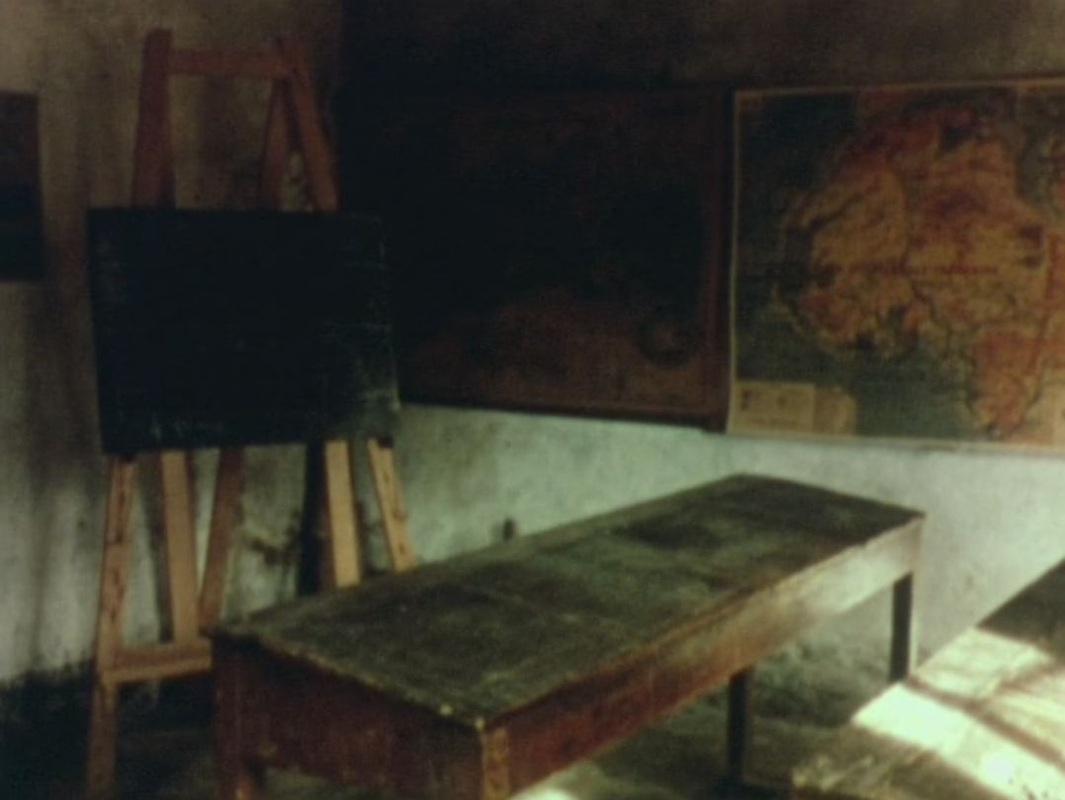 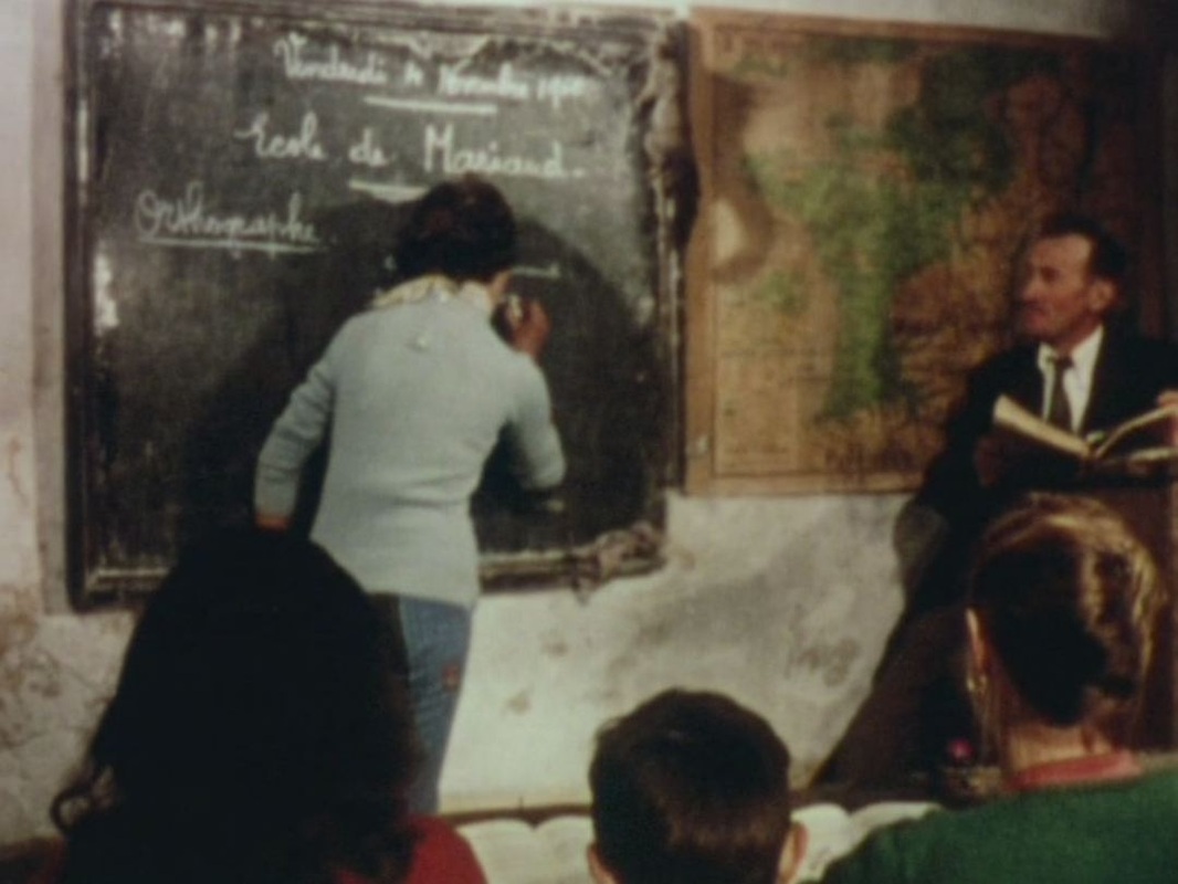   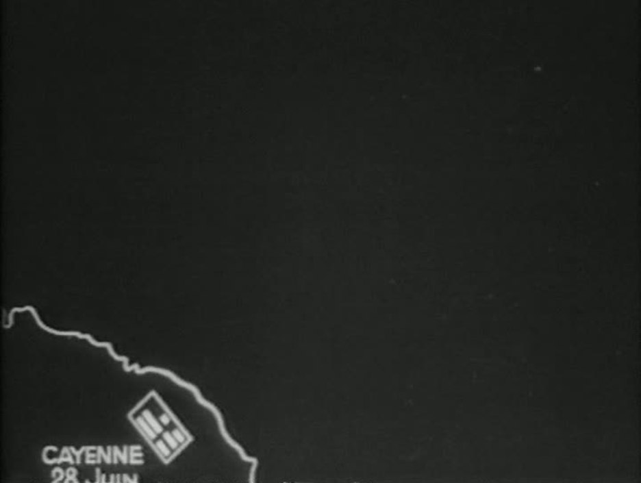 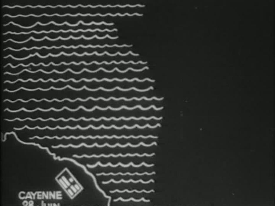 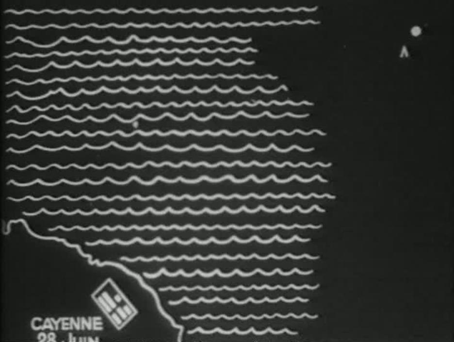  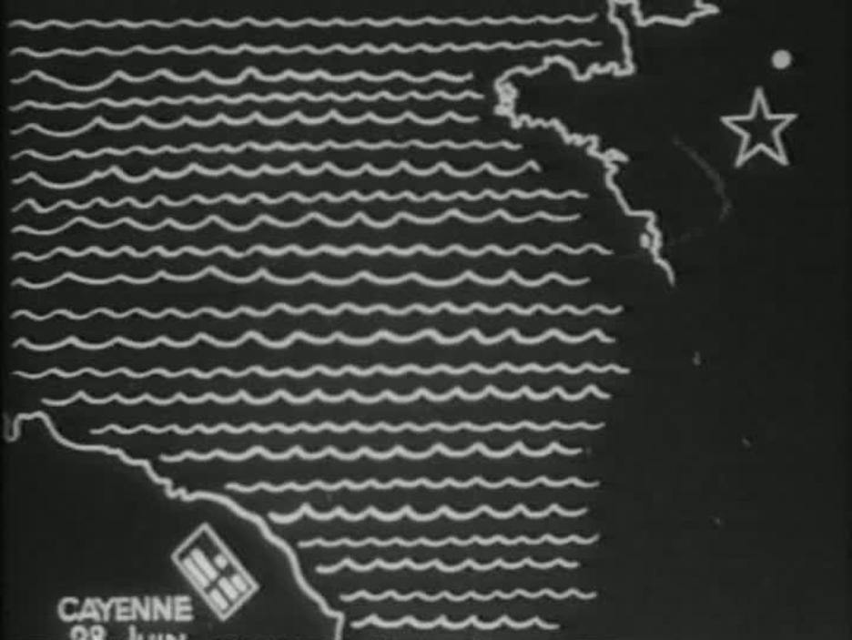 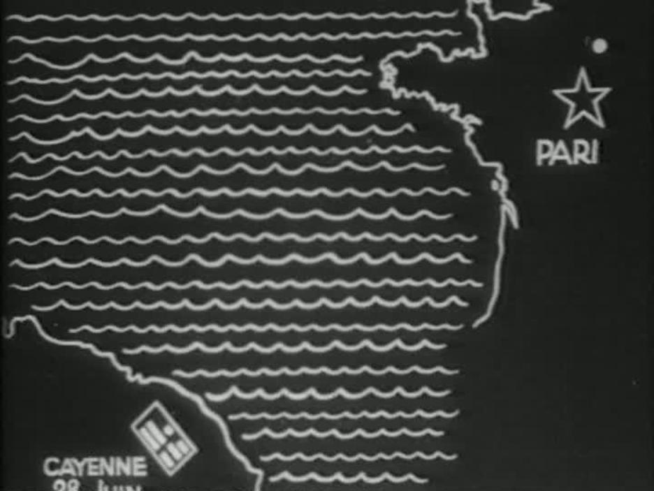 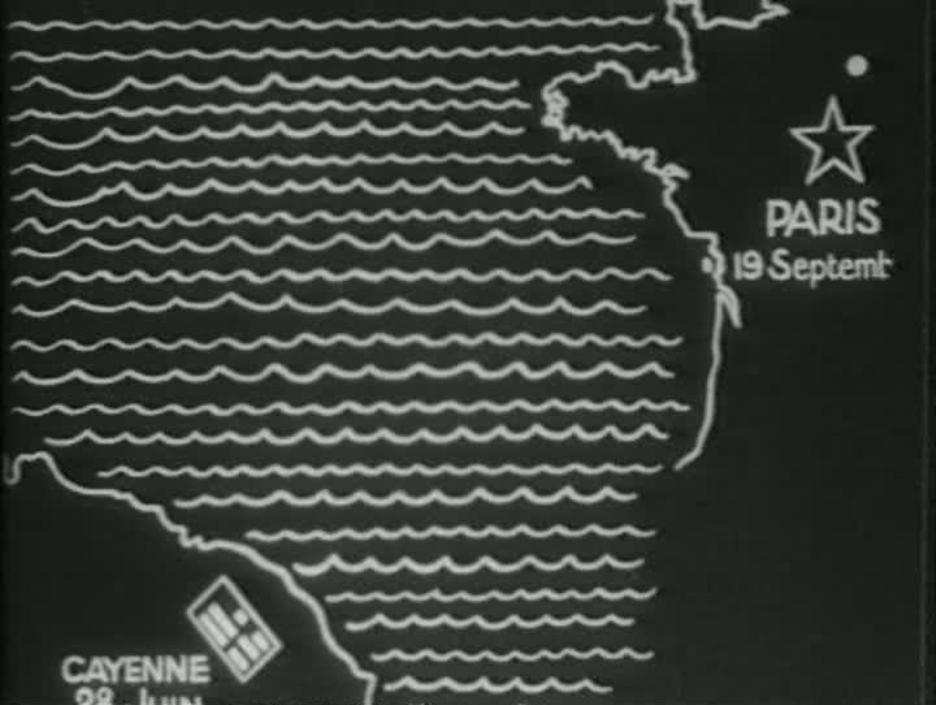 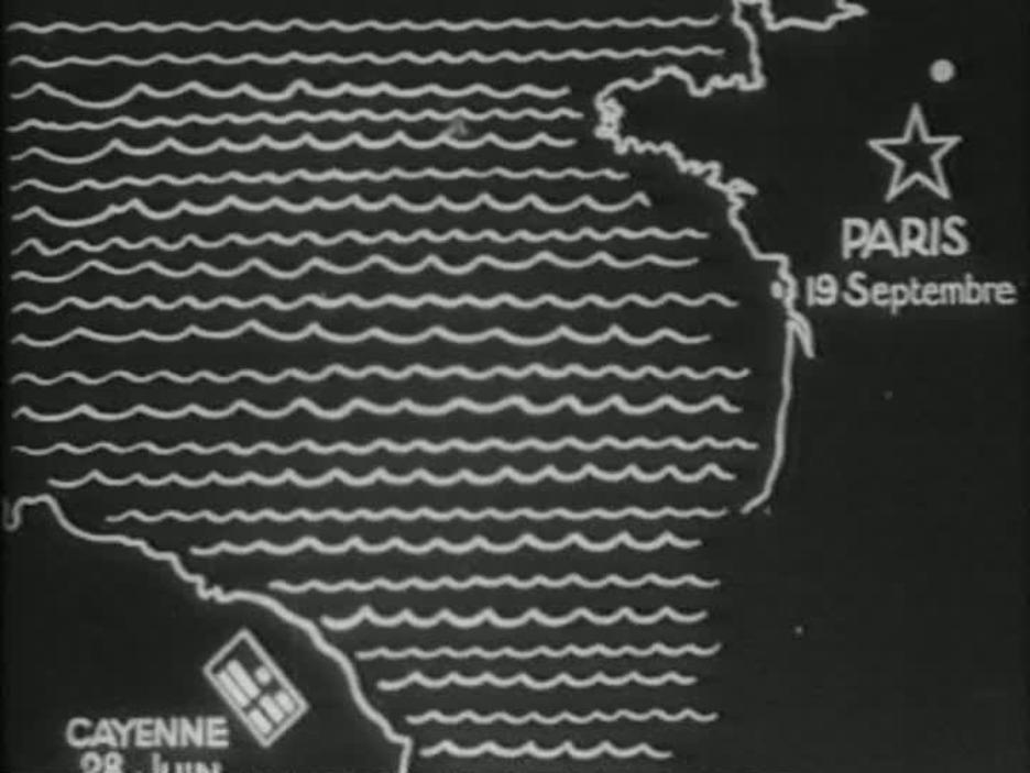 Movement from the film's first location (the penal colony in French Guyana) to its second location (Belleville, Paris) is effected by this simple cinemap, presented in silence (where otherwise Grémillon's film is strikingly experimental in its use of sound).
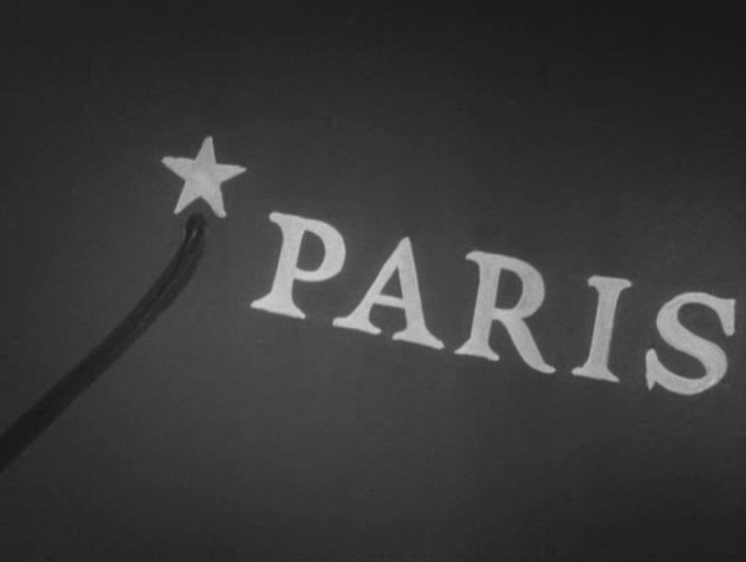
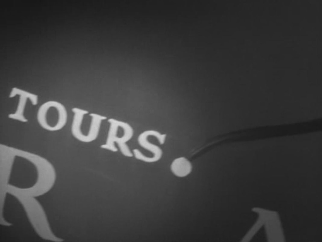
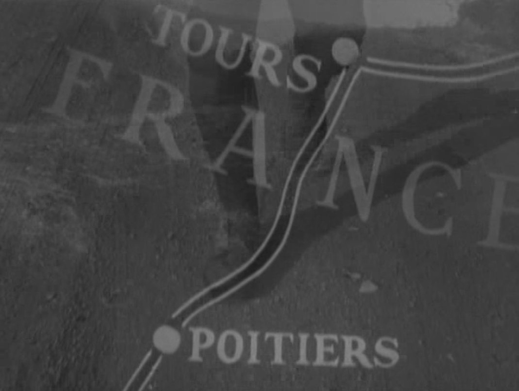
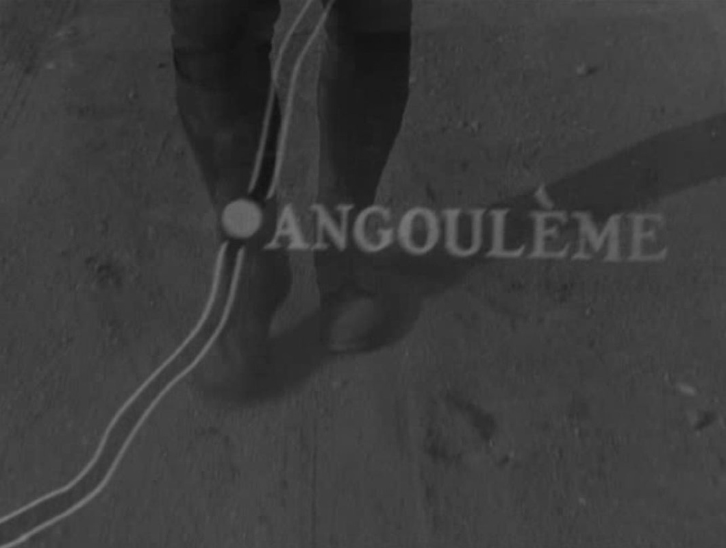
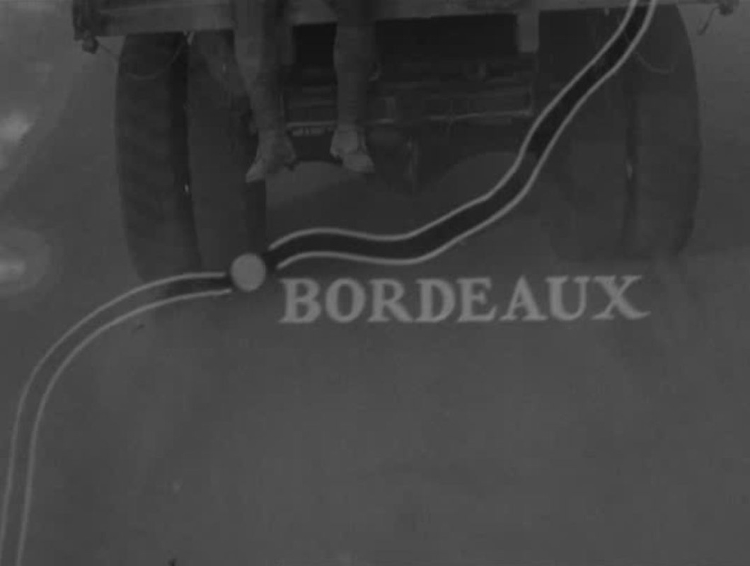
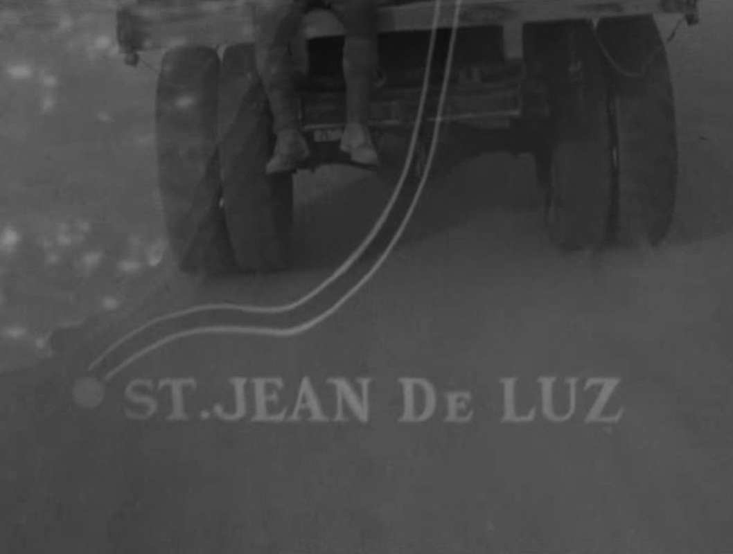
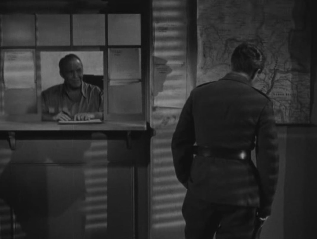
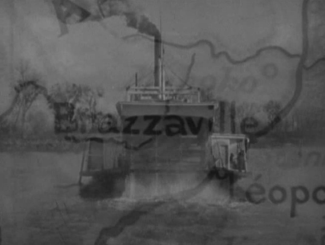
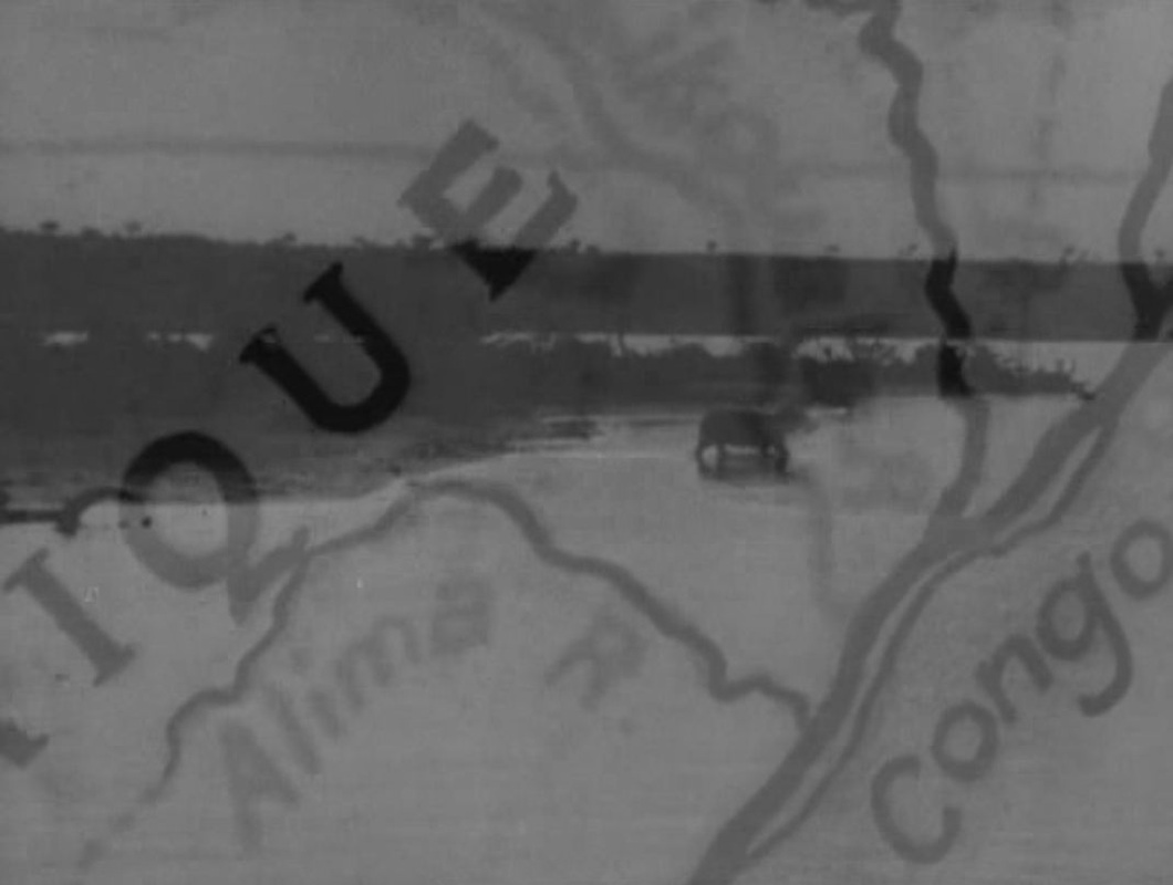
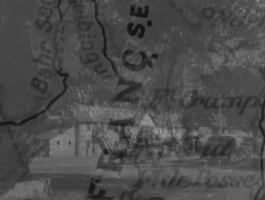
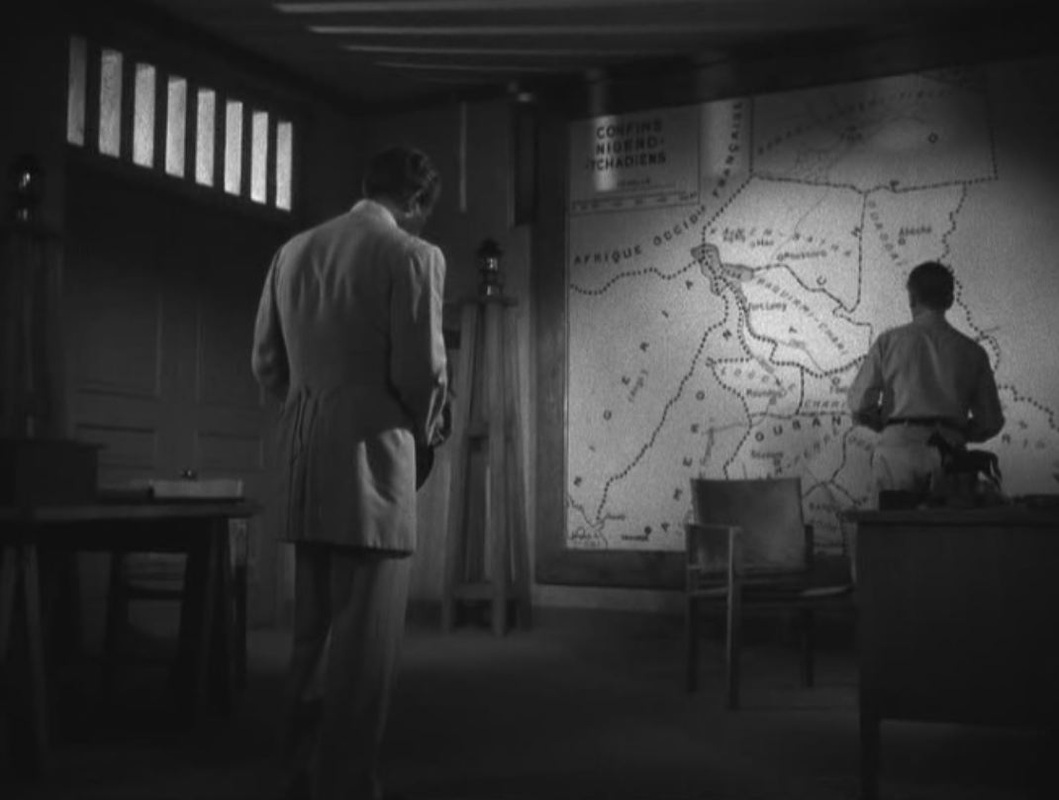
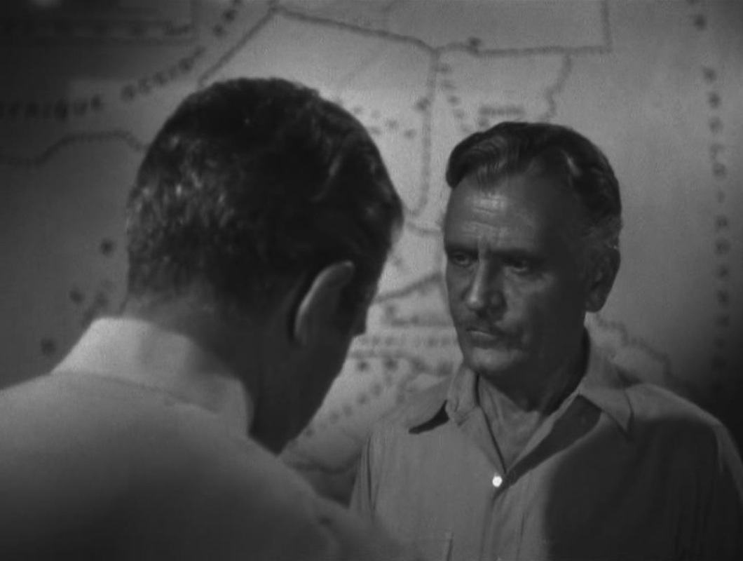
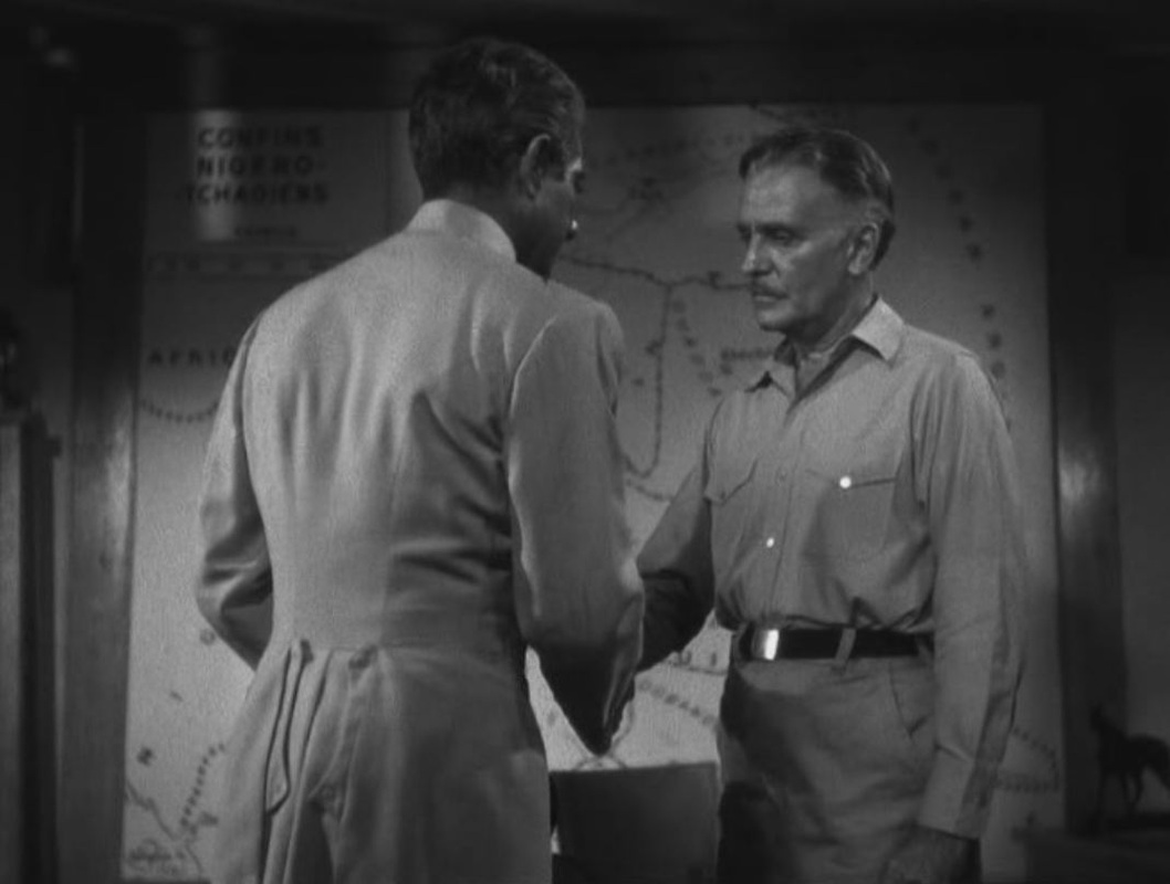
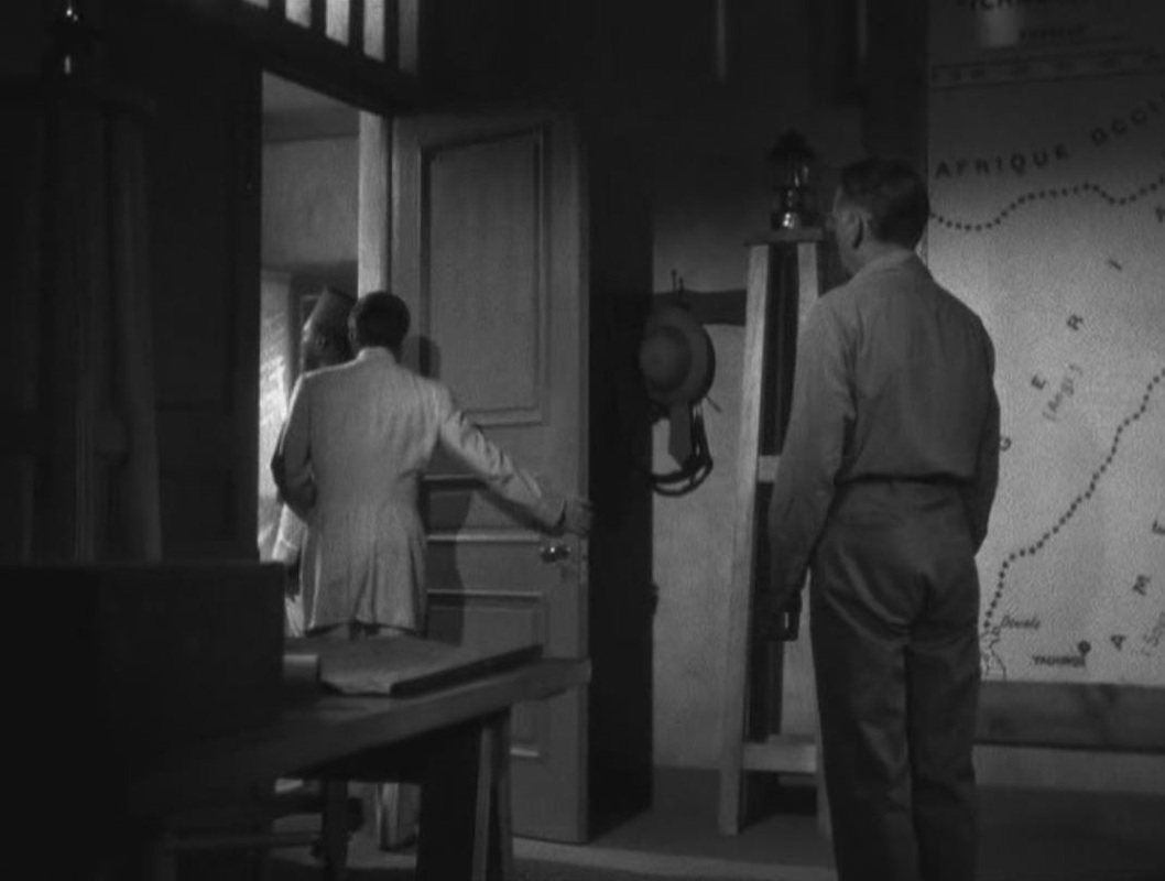
Frenchman Duvivier's 1944 war-effort film was made in Hollywood, and opens with a map expressive of the exile's gloom: France is cast in darkness. The map is closed in on, showing at first only Tours, strangely, then more obviously Paris, before following the line back from Paris to Tours, where the film's first action is set (explaining that town's prominence on the map). From there the protagonist's trajectory is followed South, whence he will eventually embark for Africa. As the principal setting of the ensuing action, West Africa is on all the maps we then see. Most are in the mise-en-scène, though one is a cinemap tracing the protagonist's movements. (In its movement northwards it reverses the trajectory of the film's opening cinemap.) 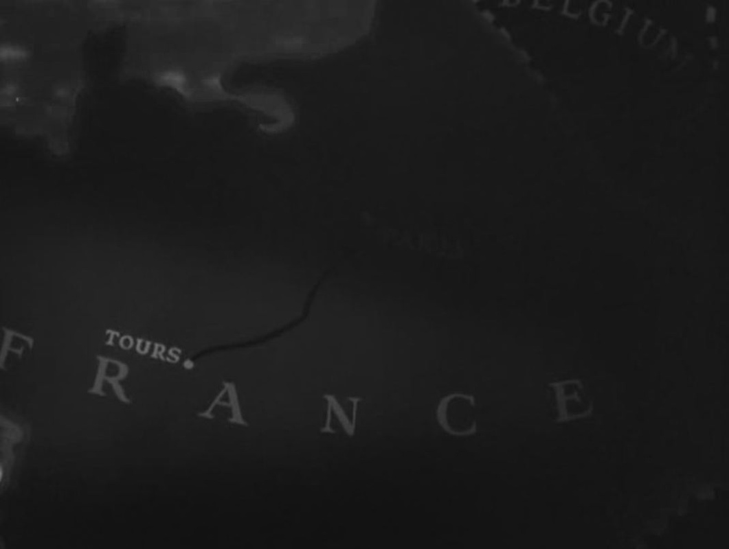

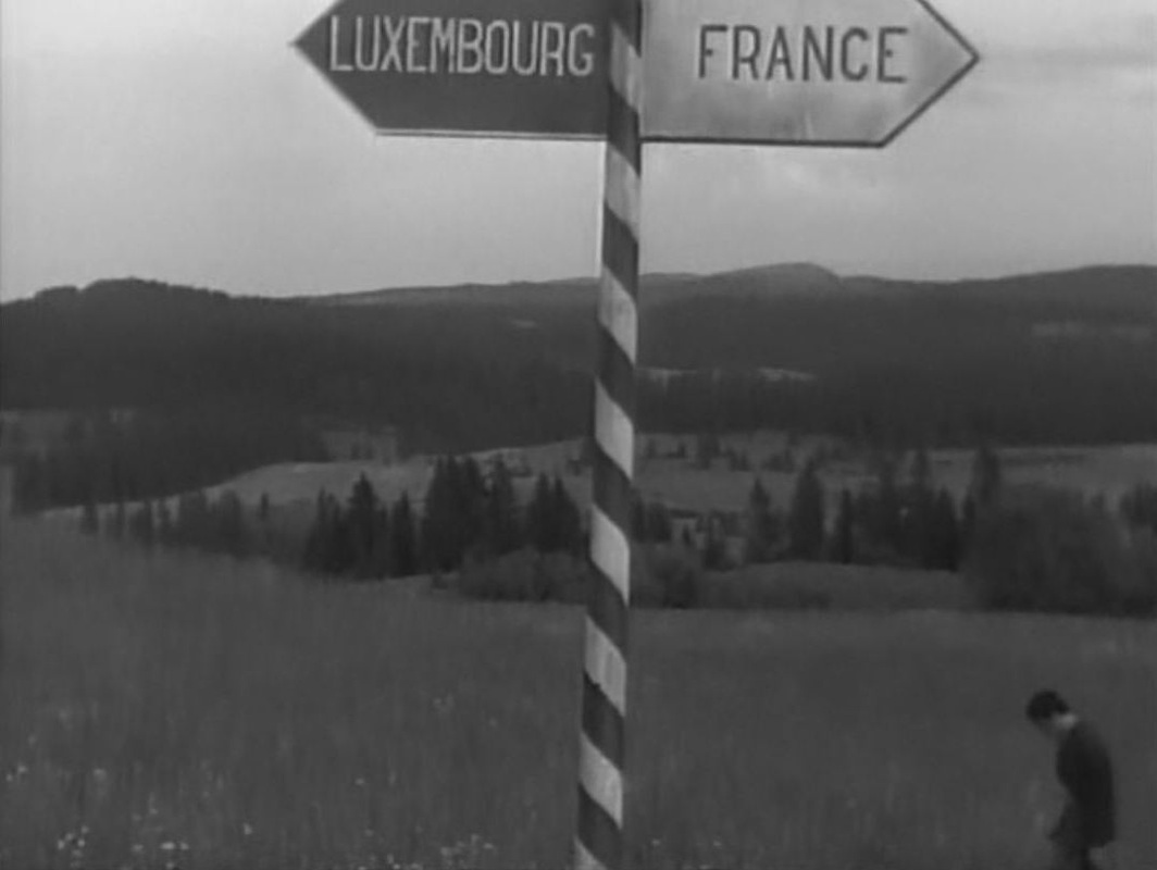
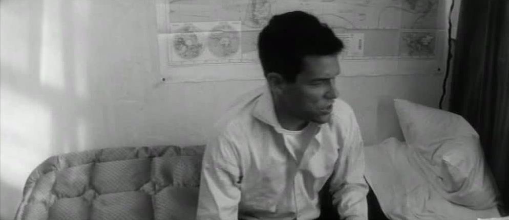 The story of Lola is little more than that of the preparations made by its male protagonist, Roland, to leave Nantes. This story is framed by the return to Nantes of Michel, father of Lola’s child. He has been seven years on a South Pacific island, Matareva, as if he has arrived in Demy’s film from Mark Robson’s 1953 Return to Paradise (which Roland goes to see at a cinema in Nantes in the course of the film). Michel’s arrival is the counterweight to the departure not only of Roland but also of the little Cécile (who has run off to Cherbourg), of Frankie and the other sailors, heading back via Cherbourg to the U.S., and of Lola and her son, who are leaving for Marseille. Of all these only Roland is associated with maps. He passes a map of France as he leaves his place of work, after having been fired. In his room he studies closely a map of the ‘Five Parts of the World’, and the man who offers him louche employment as a courrier (flying from Amsterdam to South Africa) explains the itinerary by pointing to a map. 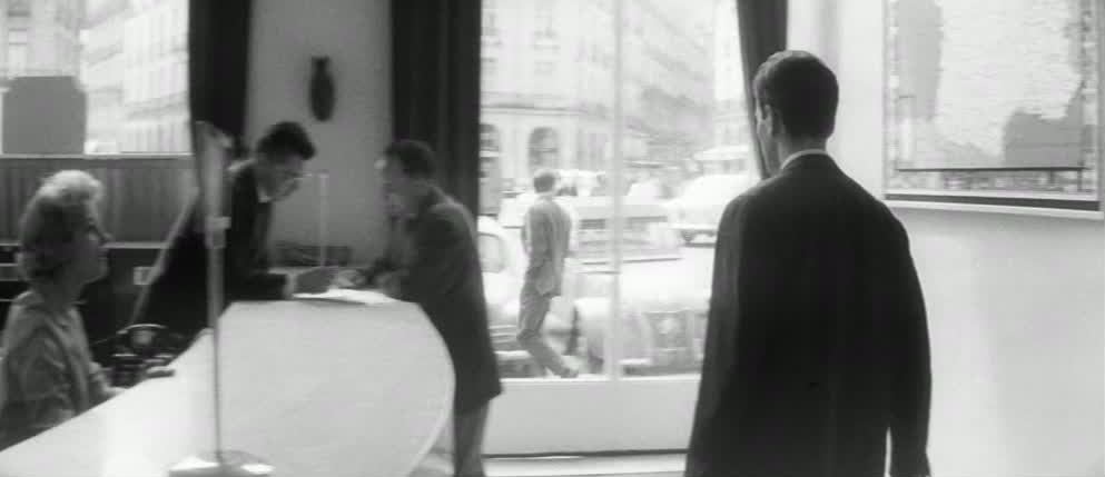 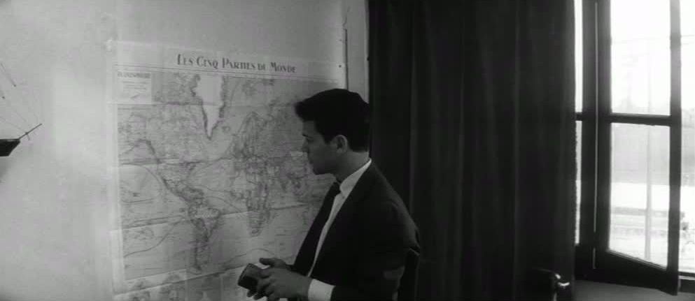 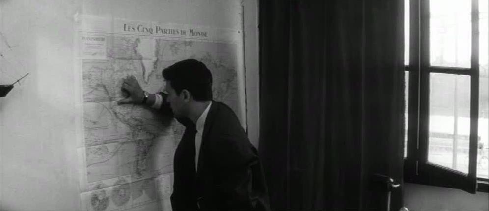 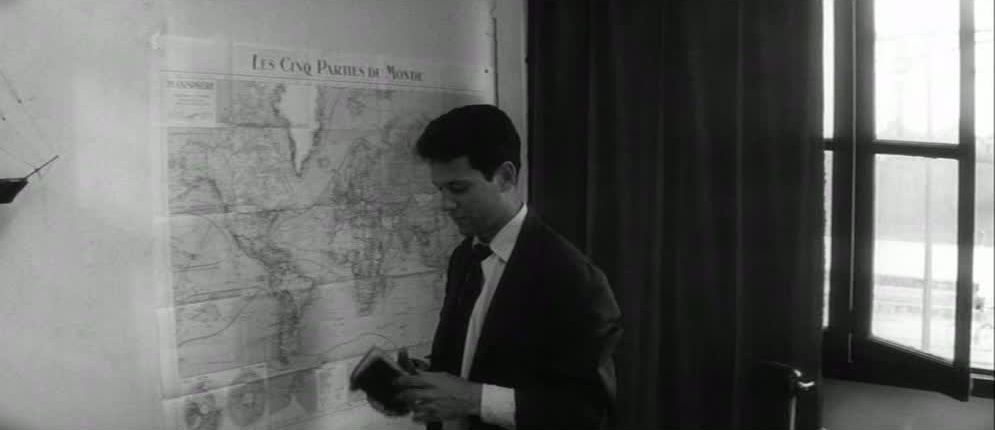 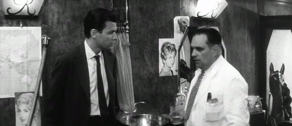 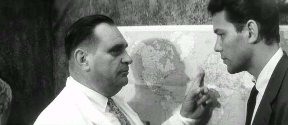 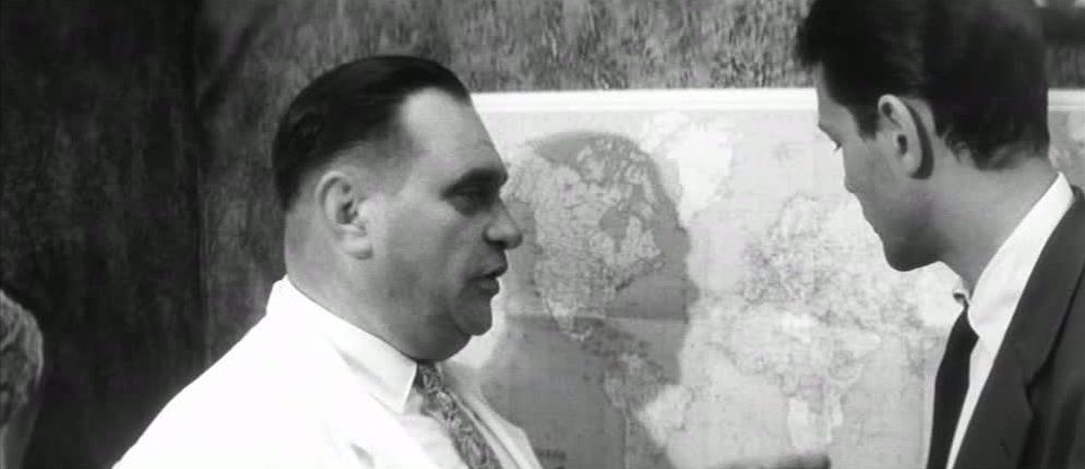 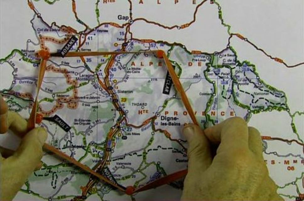 Luc Moullet juts into the frame pointing out the southern Alps on a map of France, and tacks, labels, and a rubber band are secured in order to be even more specific, carving out a parallelogram of bloodbaths and insanity in Moullet’s new documentary, Land of Madness.
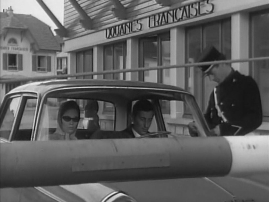
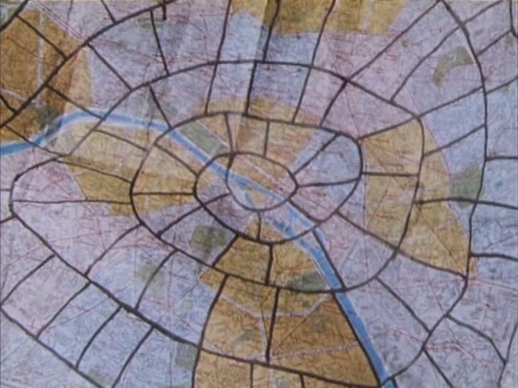
Daniel Kasman, 'Geographic Anomalies', Mubi (21 May 2009): read the whole post here. 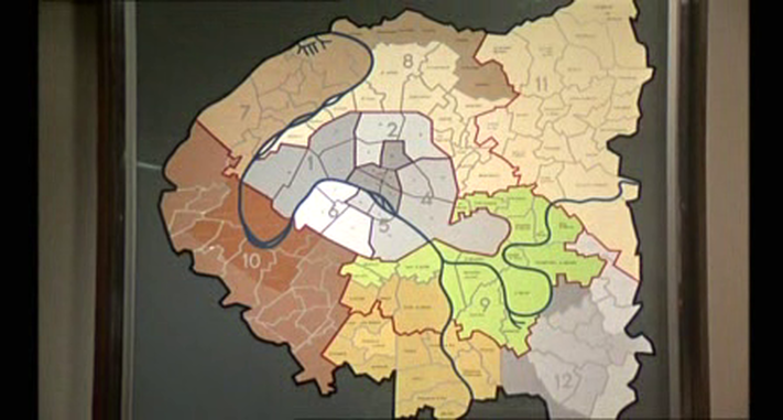 We get a brief glimpse in an outer office of this splendid map of the Paris region, but the principal room at police headquarters is dominated, unusually, by a map of France rather than Paris (though it has a tiny map of the Paris region in the corner):  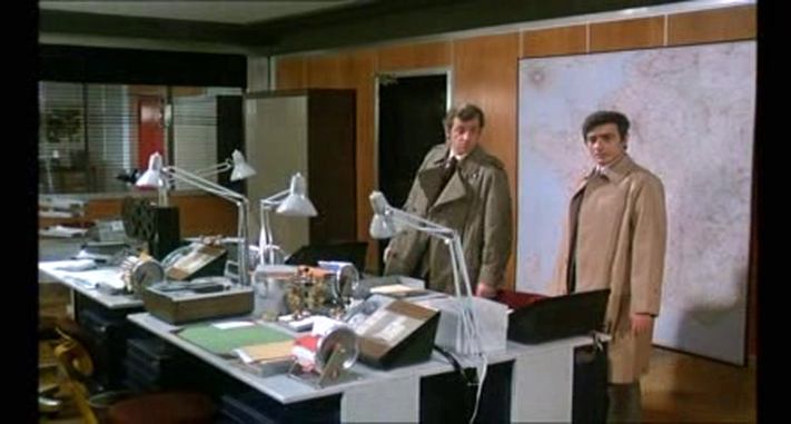 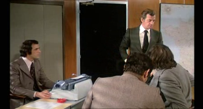 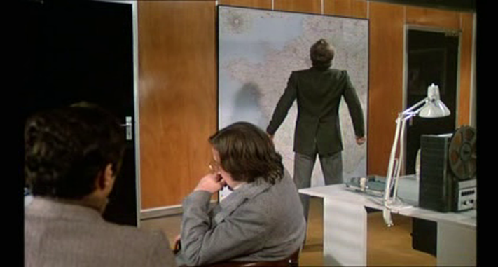 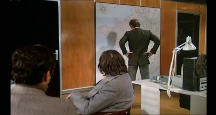 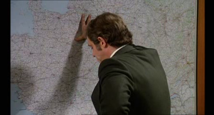 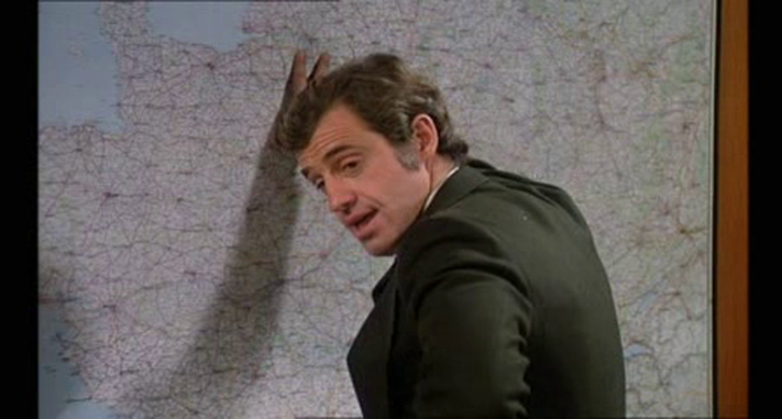 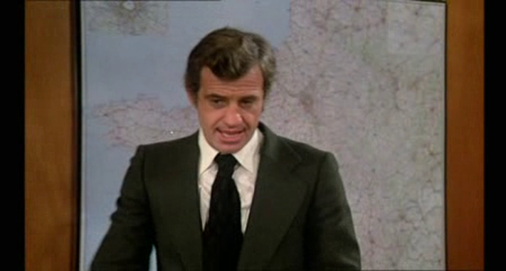 Towards the end of the film we see a map of Paris spread out on a coffee table. This overhead view connects to the aerial views of Paris in the film's opening sequence and later in several vertiginous action scenes: 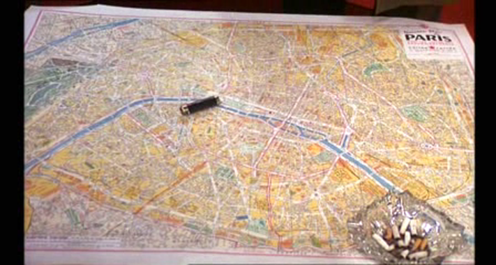      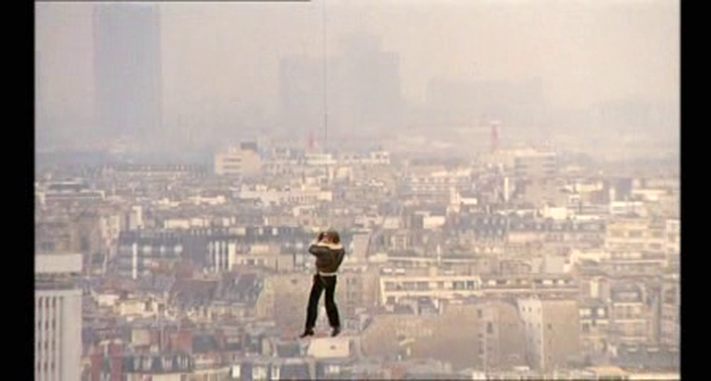 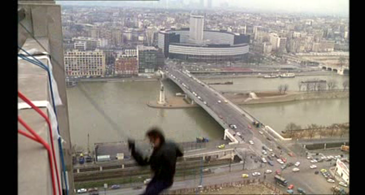 The one other map in the film is in a control room of the métro system, where the train on which the hero is chasing a villain is being tracked: 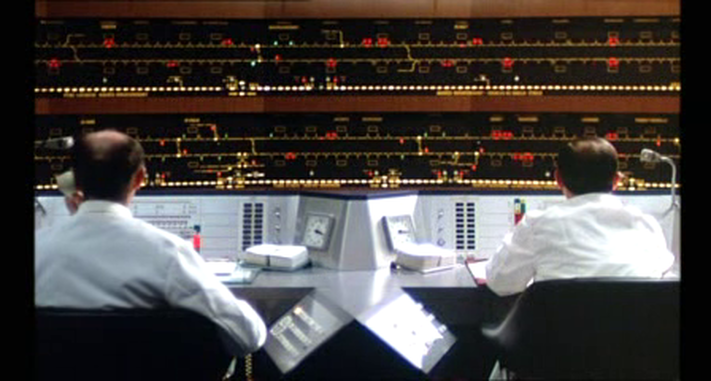 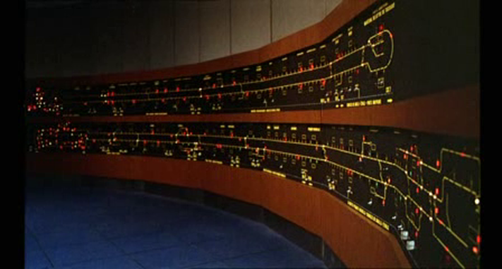 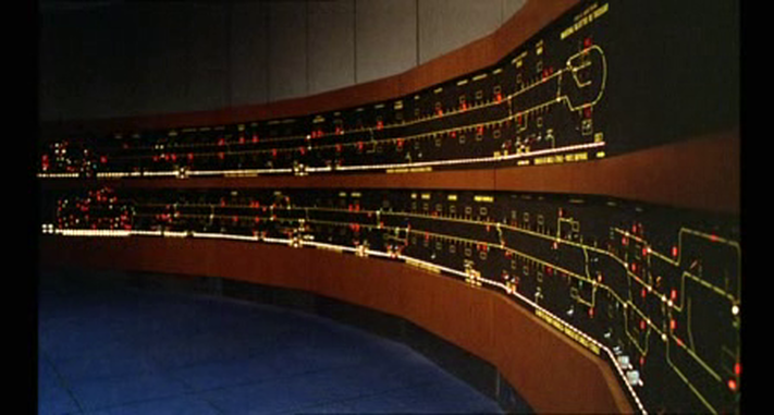 We see a similar control-room map in Claire Denis's 35 rhums (2008): 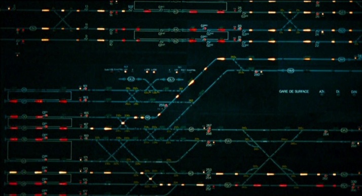 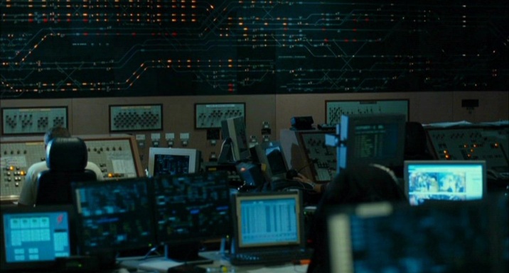  The silhouette of France has a graphic immediacy that cartoonists, artists and advertisers have often exploited. When it becomes an icon, it is in some way no longer a map: 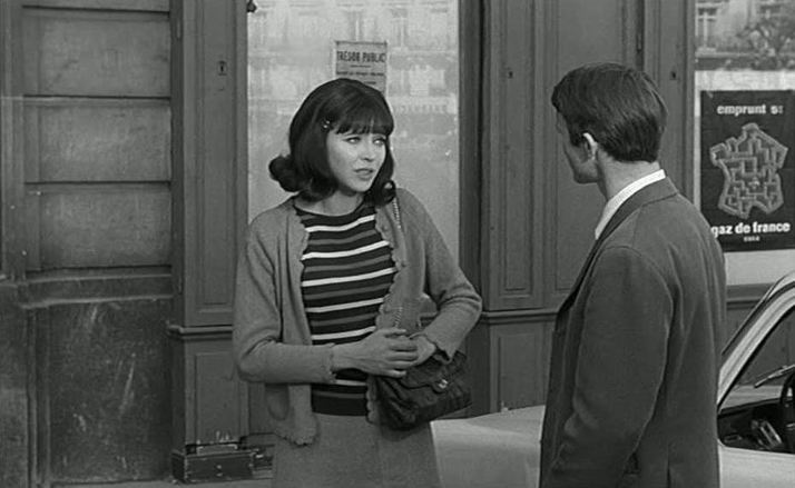 De l'amour (Jean Aurel 1964)  37’2 le matin (Jean-Jacques Beineix 1986) Even when, in the real world, it might have functioned as a map, transposed into film the 'hexagon' functions chiefly as a sign of France:  La Veuve Couderc (Pierre Granier-Deferre 1971)  Thérèse Raquin (Marcel Carné 1953) 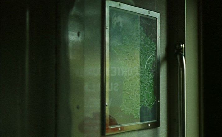 Le Clair de terre (Guy Gilles 1970)  Nada (Claude Chabrol 1974)  Série noire (Alain Corneau 1979) 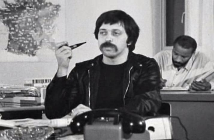 Soleil O (Med Hondo 1969) 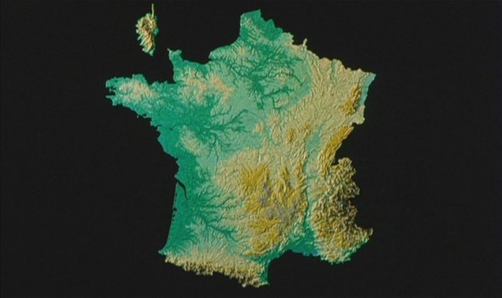 Tout va bien (Jean-Luc Godard & Jean-Pierre Gorin 1972)  Zig-Zag, like Rivette's Paris s'en va from the following year, is based on the 'jeu de l'oie'. Ruiz's film is subtitled 'a didactic fiction about cartography'. Taking inspiration and materials from a map-related exhibition at the Centre Pompidou ("Cartes et Figures de la Terre"), Ruiz shows many maps and map-like figures. The film ends with the injunction: 'To know more, visit the exhibition.' 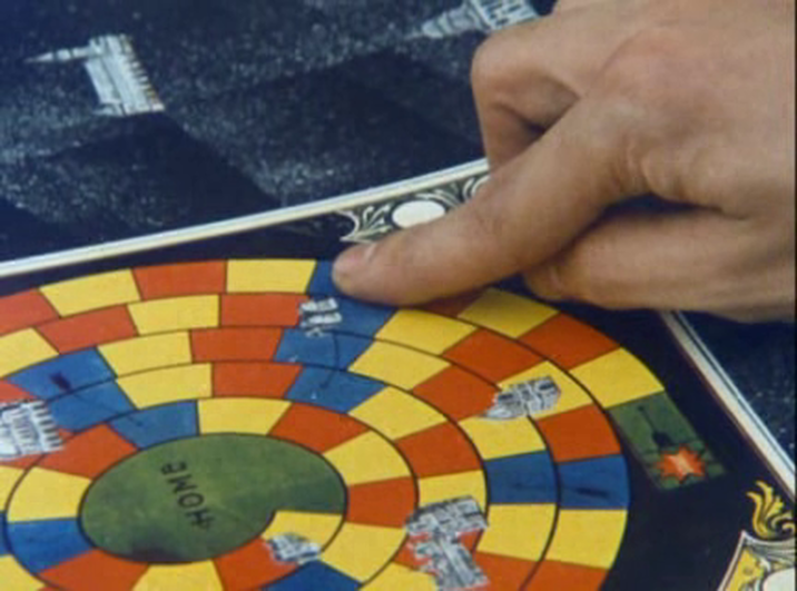 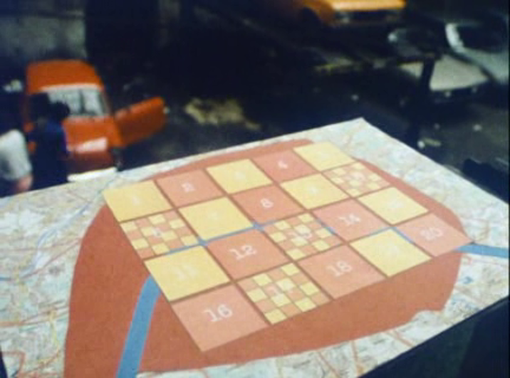 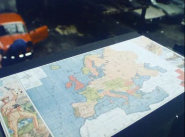  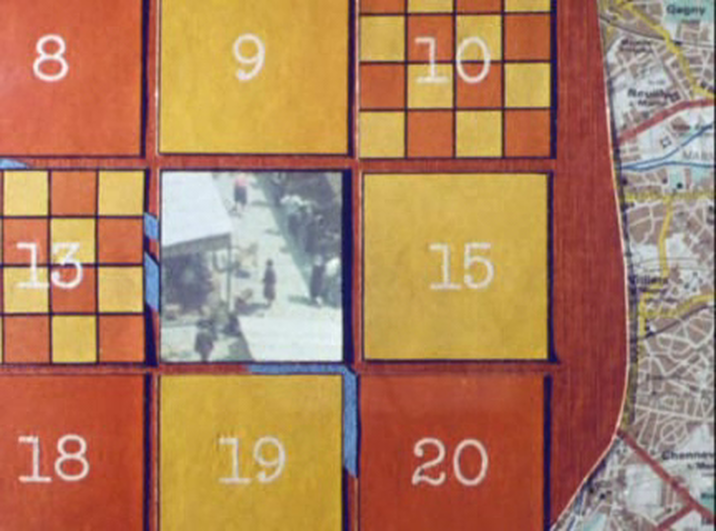  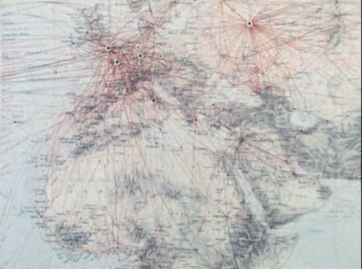 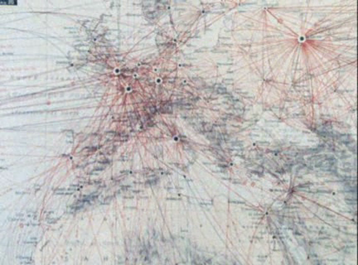 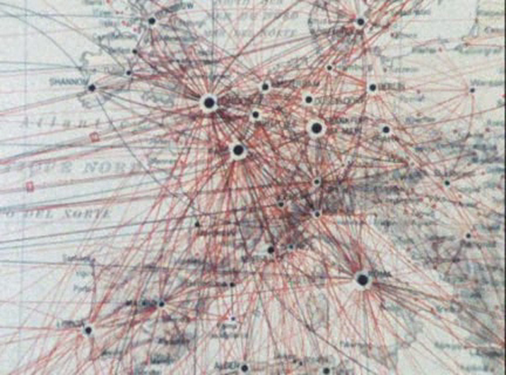 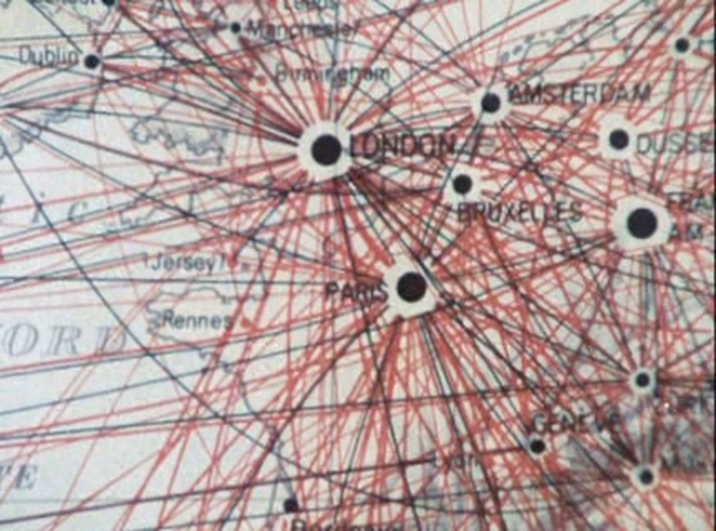 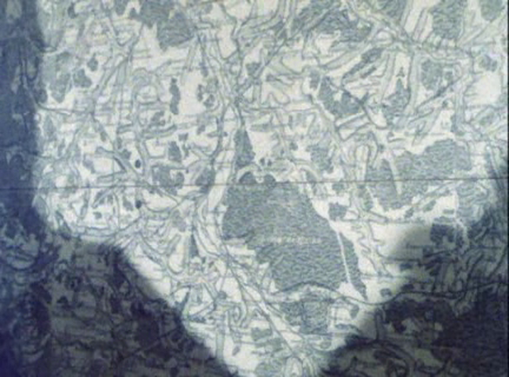    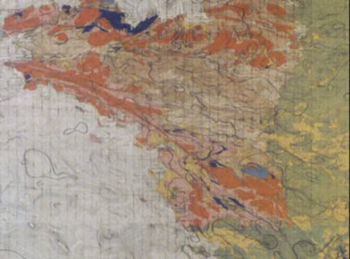  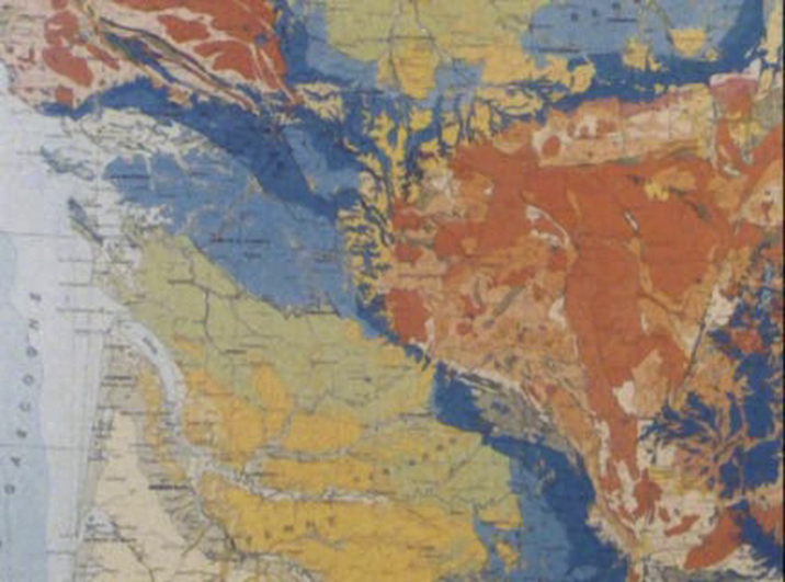  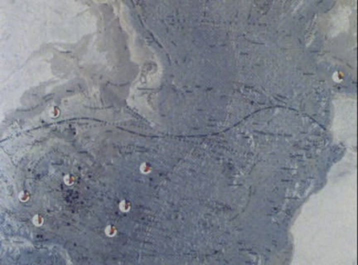    See here for the excellent analysis of spatial machinery in this film, at the site (e)space & fiction.
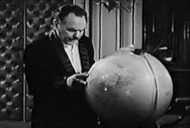
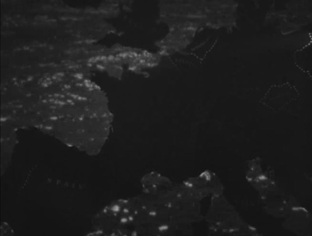
For a discussion of Ruiz illustrated with several maps, see Jonathan Rosenbaum's 'Mapping the Territory of Raúl Ruiz' here. For a precious assemblage of links in memory of Ruiz, see Film Studies For Free, 'Double Vision', here. 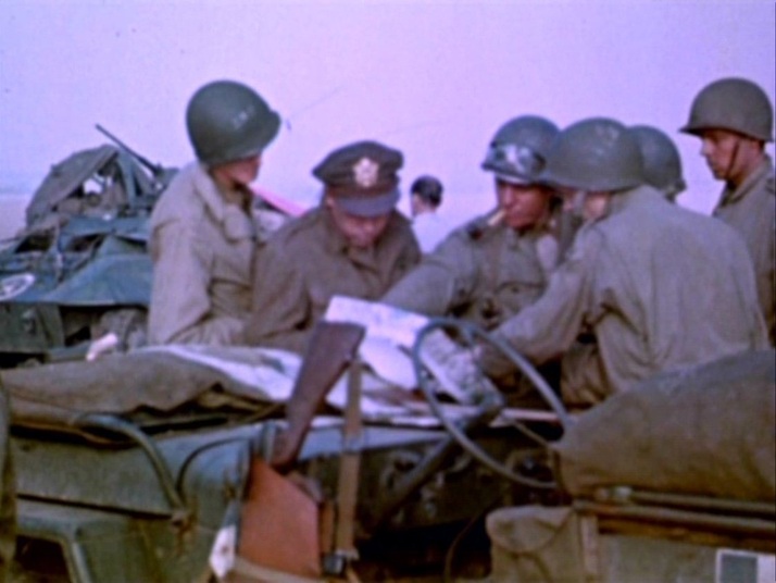 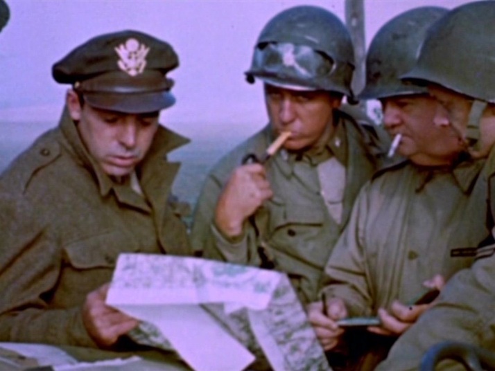 This is a rare occasion where a map appears in the footage shot by George Stevens Sr. Episodes in this compilation are linked by cinemaps:   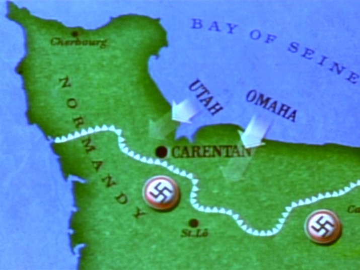 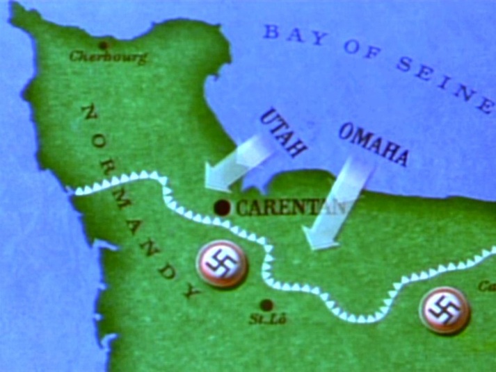 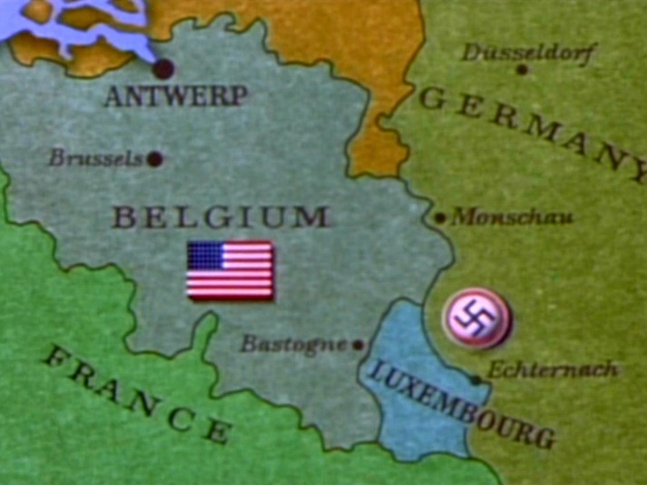 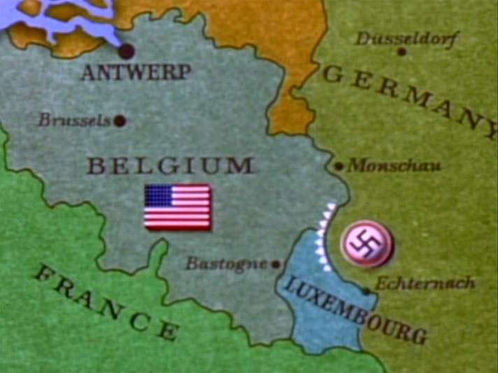 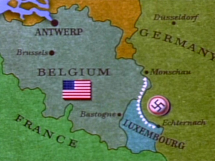 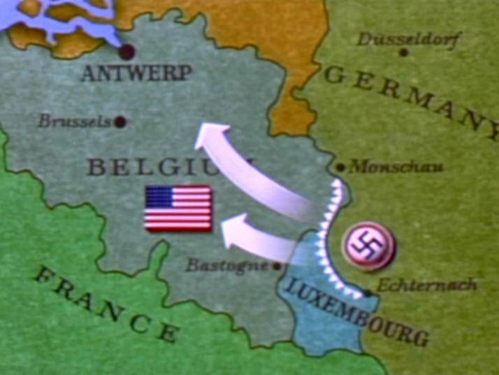 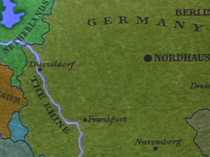 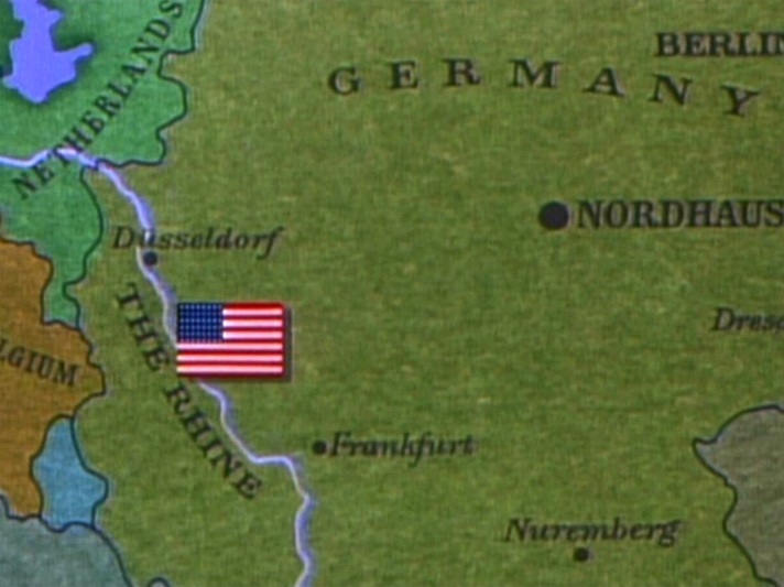 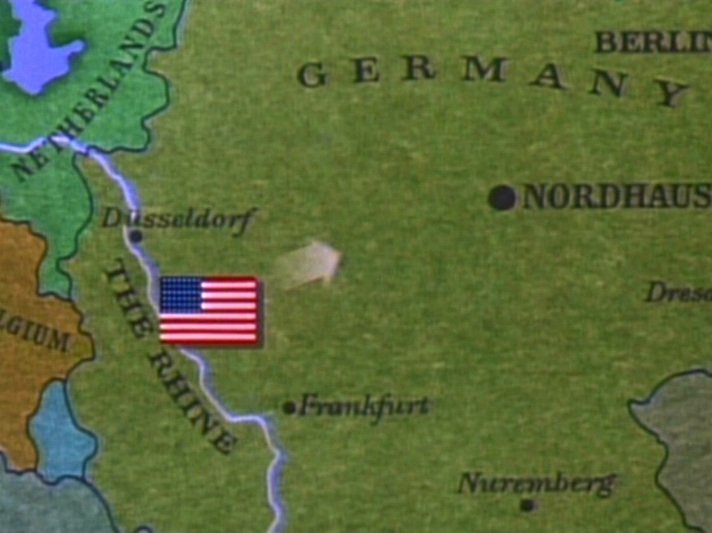 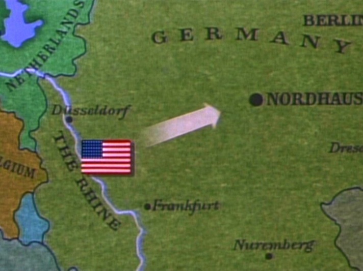 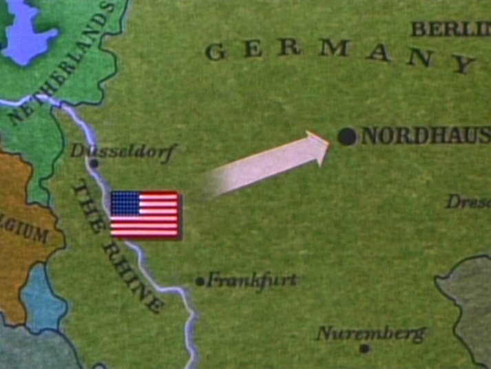 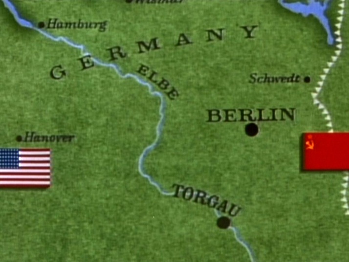 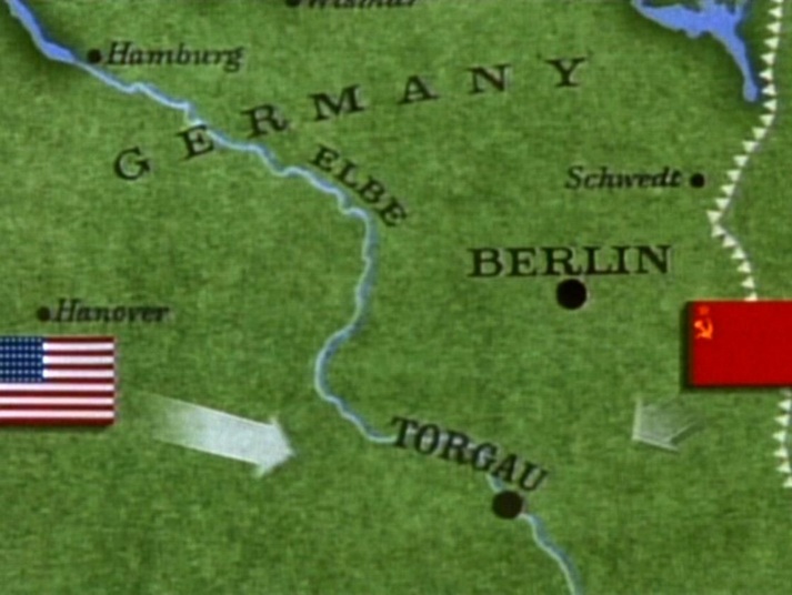 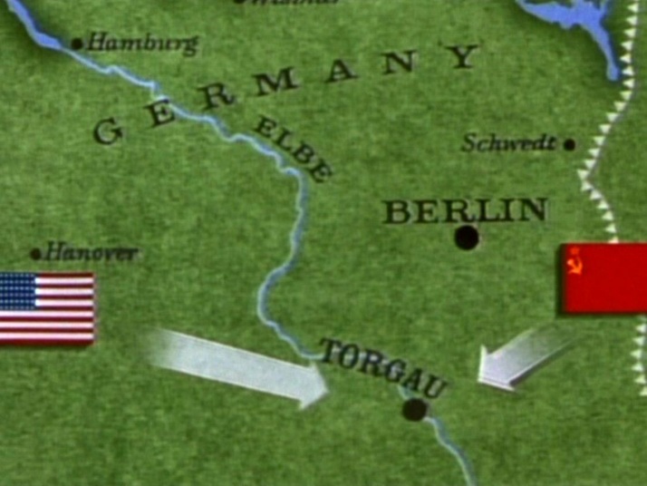 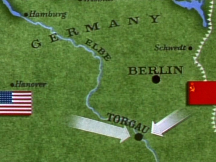 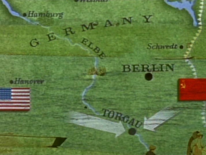 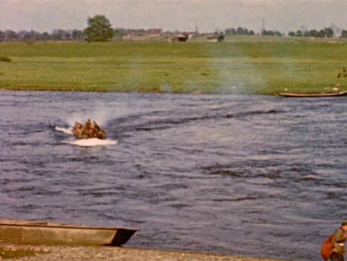 The climactic meeting of Americans and Russians at the Elbe is marked by a cartographic representation in the mise-en-scène: two soldiers standing on a globe. 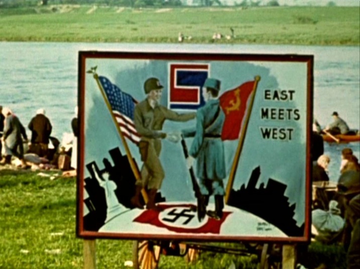 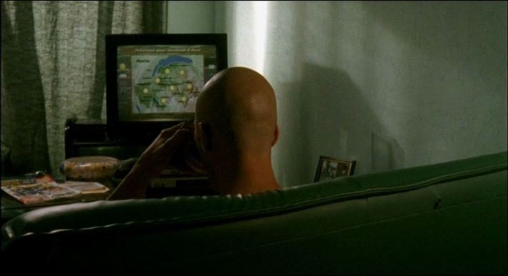 Le Clan (Gaël Morel 2004): Lac de Genève & Haute Savoie Maps often appear in television weather reports or news broadcasts, as background (as above) or foregrounded as a motif (as below): 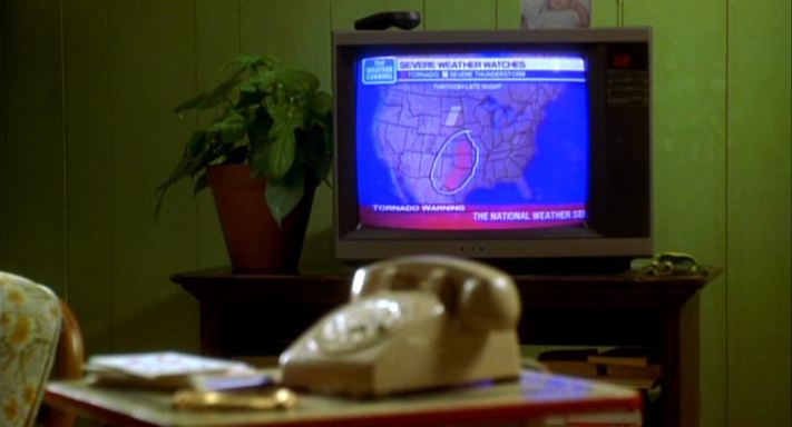 Where the Heart Is (Matt Williams 2000): United States - Texas, Oklahoma, Kansas Here are eight further instances of maps on tv screens in films: 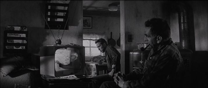 In Cold Blood (Richard Brooks 1966) 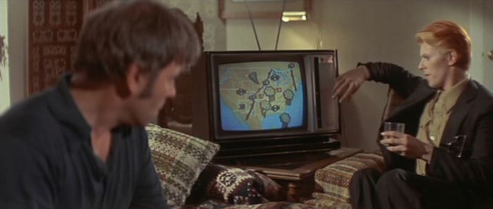 The Man Who Fell To Earth (Nicolas Roeg 1976): United States 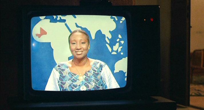 Bamako (Abderrahmane Sissako 2006): Mali 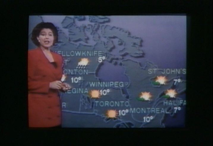 Love & Human Remains (Denys Arcand 1993): Canada 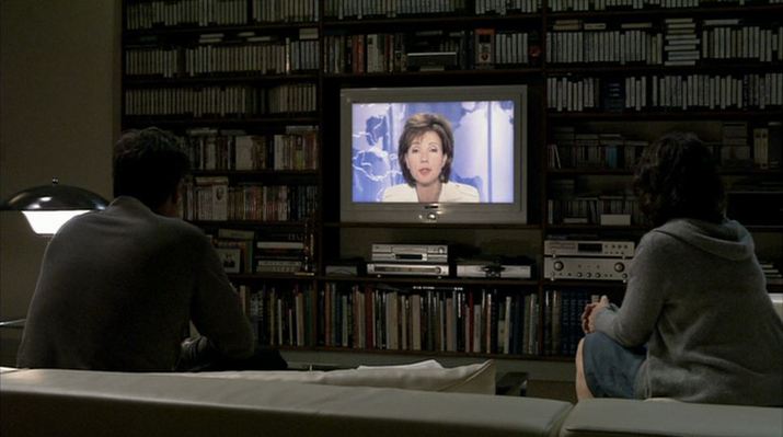 Caché (Michael Haneke 2005): Africa & the Americas 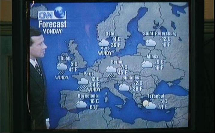 La Cérémonie (Claude Chabrol 1995): Europe  Pola X (Leos Carax 1999): France 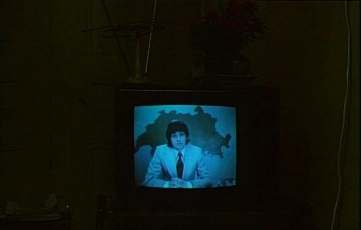 Jonas qui aura 25 ans en l'an 2000 (Alain Tanner 1976): Switzerland 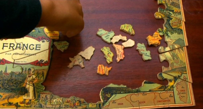 Varda avoids the puzzle as metaphor. France in this film is an 'espèce d'espace', not an enigma to be deciphered . The map of France is just an object for her collection. 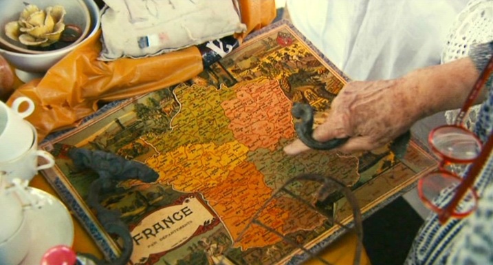  Here are some other objects from her collection, in L'Une chante l'autre pas (1977):  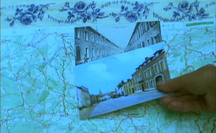 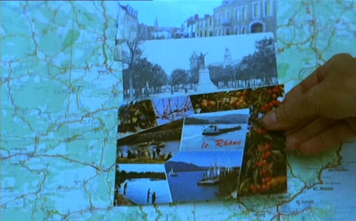   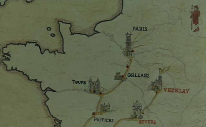 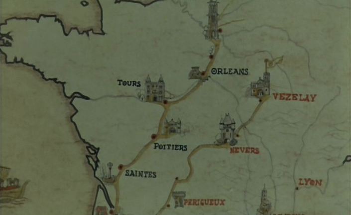 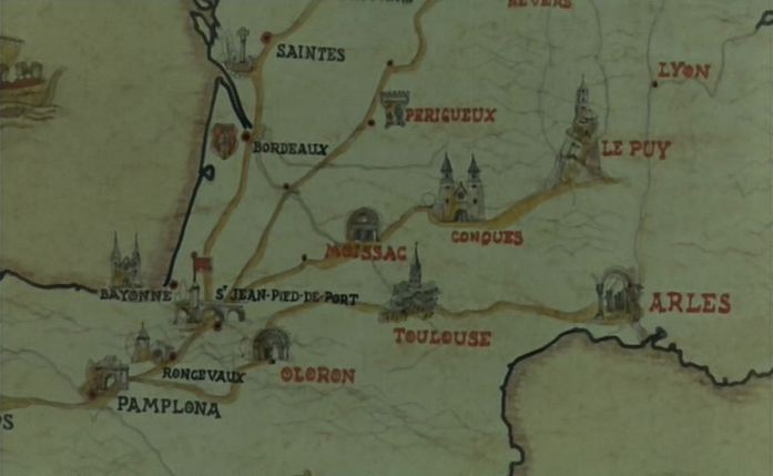 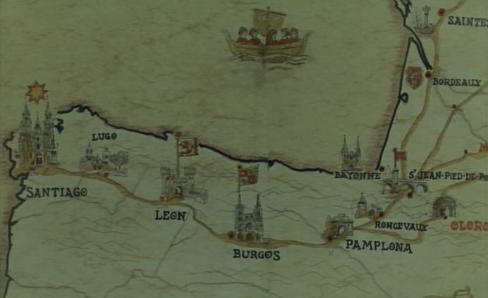 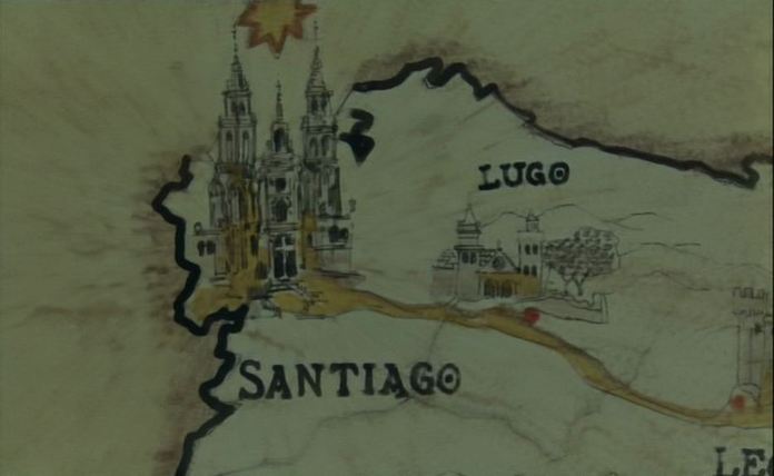 ‘From childhood holidays at Santander and San Sebastian, Bunuel remembered the tradition of a pilgrimage to the shrine of St James of Compostela at Santiago in the same far northwestern corner of Spain, only 50 kilometres from the Atlantic. The route from northern Europe was known as the Milky Way, because in ad 813 a hermit was supposed to have . followed that field of stars (campus Stellas) to the body of St James (Santiago in Spanish), hidden there for centuries.’
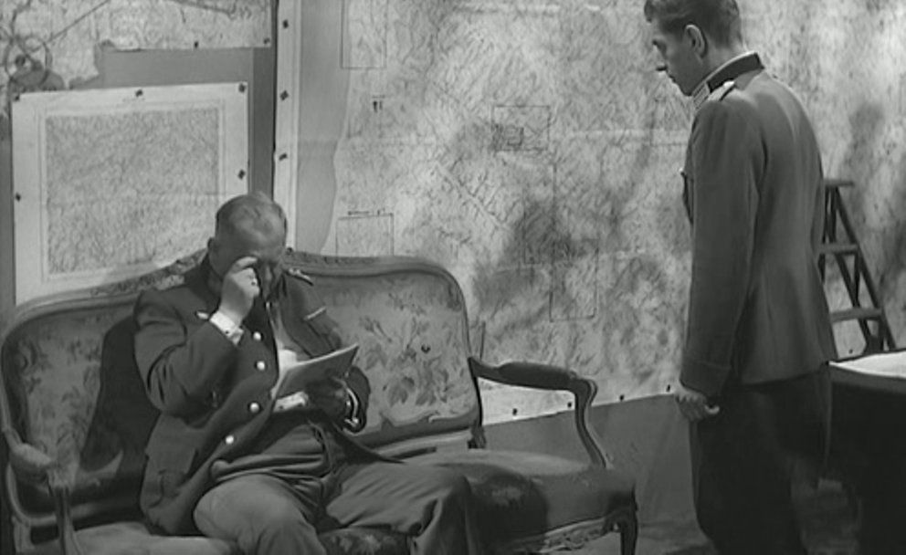
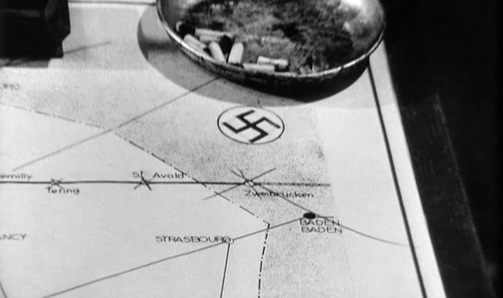
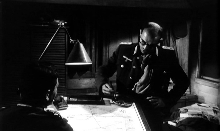
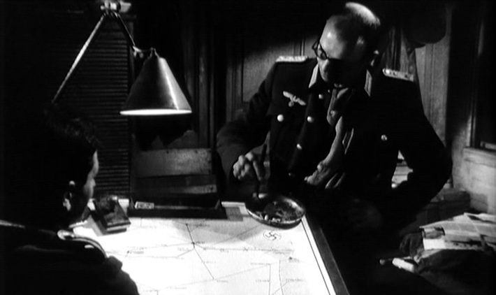
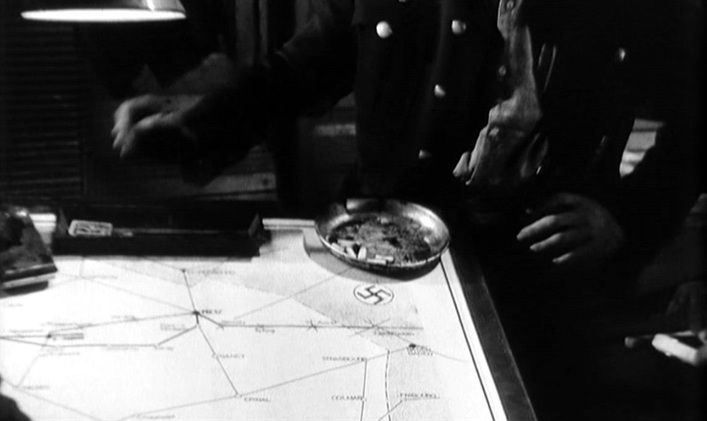
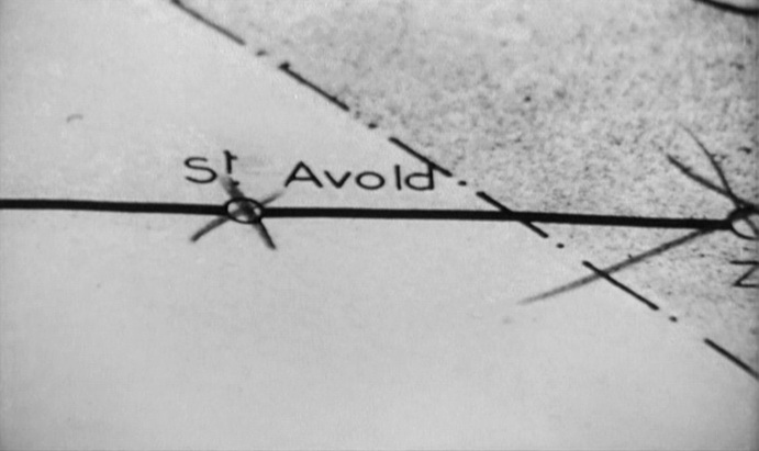
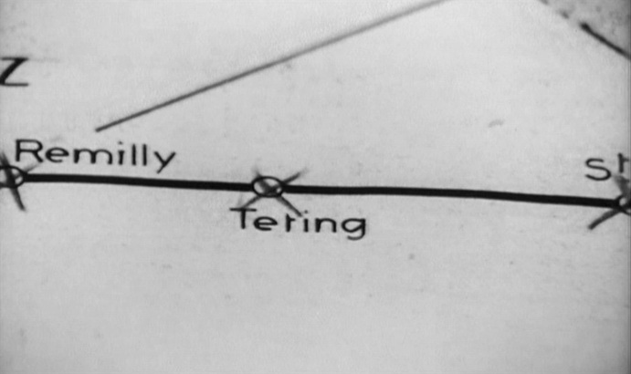
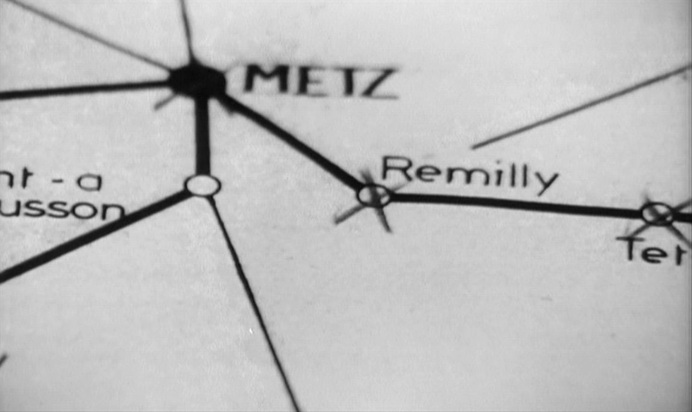
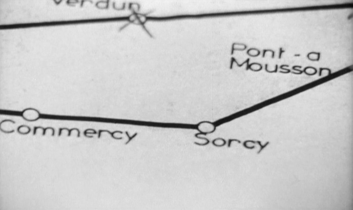
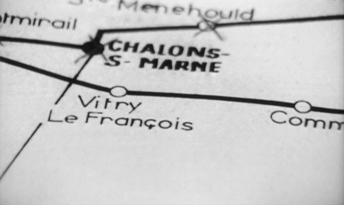
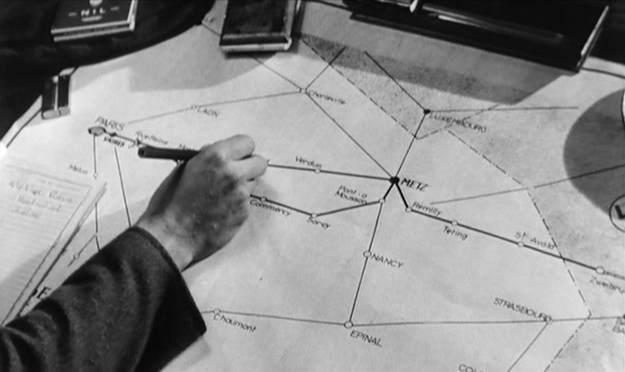
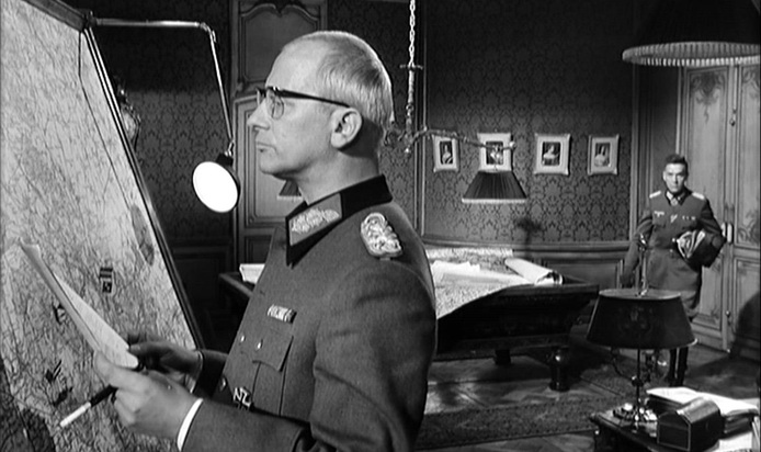
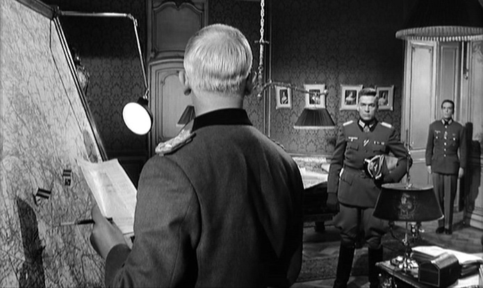
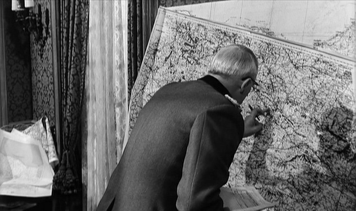
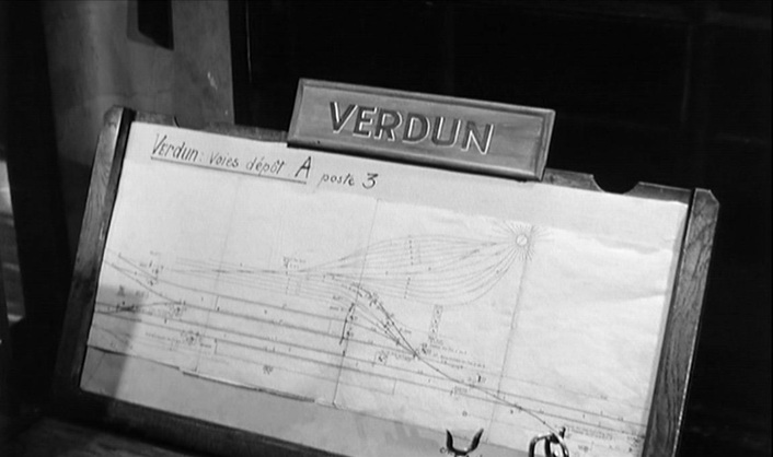
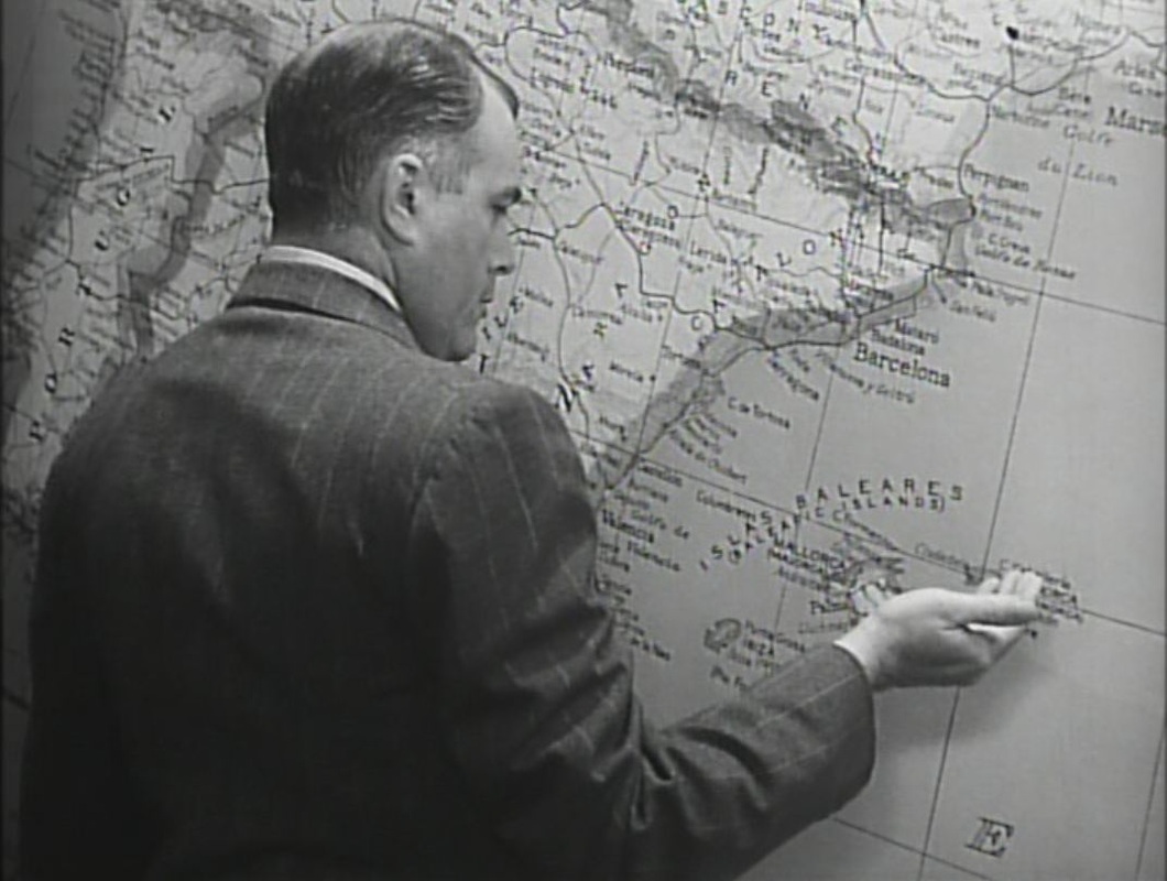
John Baxter, Buñuel (London: Fourth Estate, 1995), p.288. 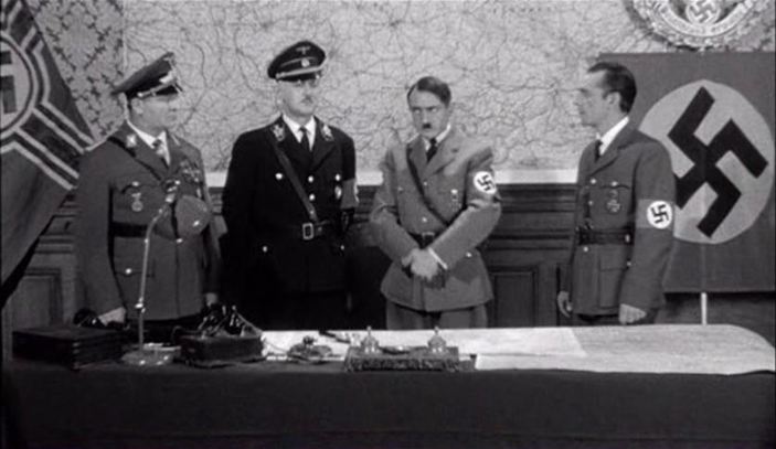 To bring to a close the theme of the last few days, this is a selection of more Nazis with maps. 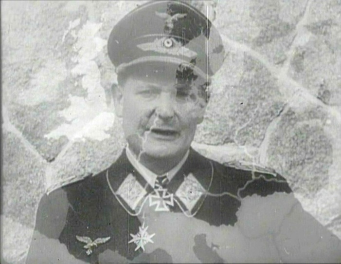 The First of the Few (Leslie Howard 1942) 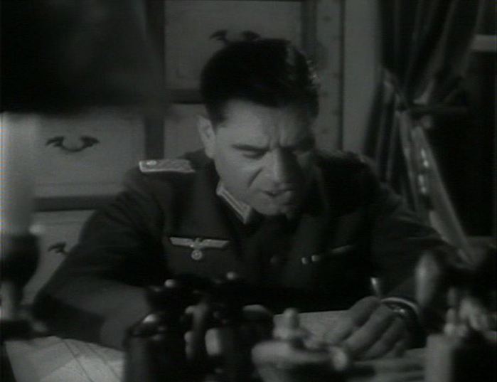 Jericho (Henri Calef 1945) 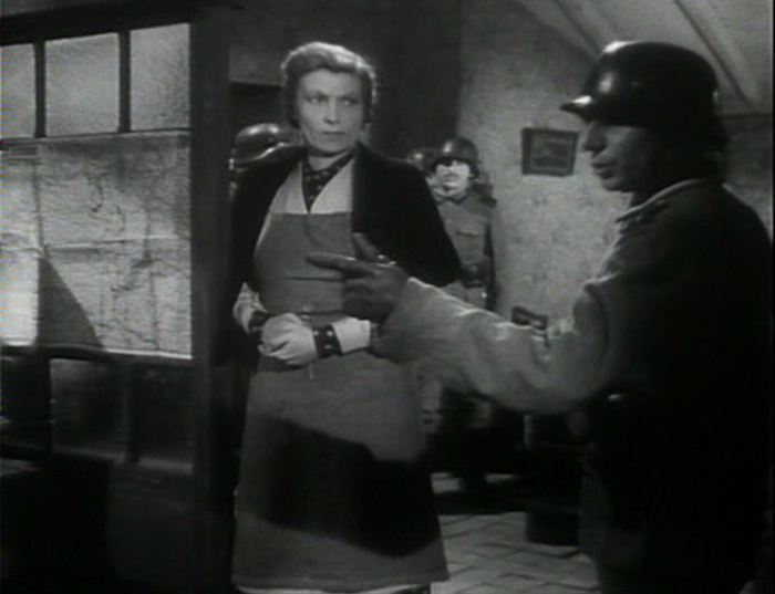 Jericho (Henri Calef 1945) 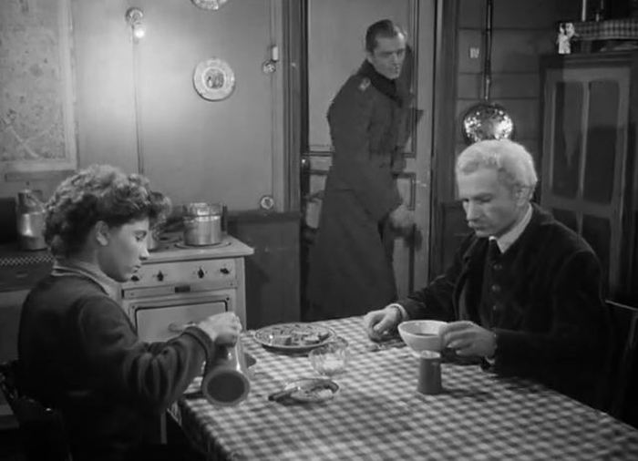 Le Silence de la mer (Jean-Pierre Melville 1949) 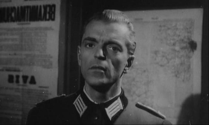 L'Inconnu de Shandigor (J-L Roy 1967): Le Silence de la mer is used to show Howard Vernon's character as a younger man 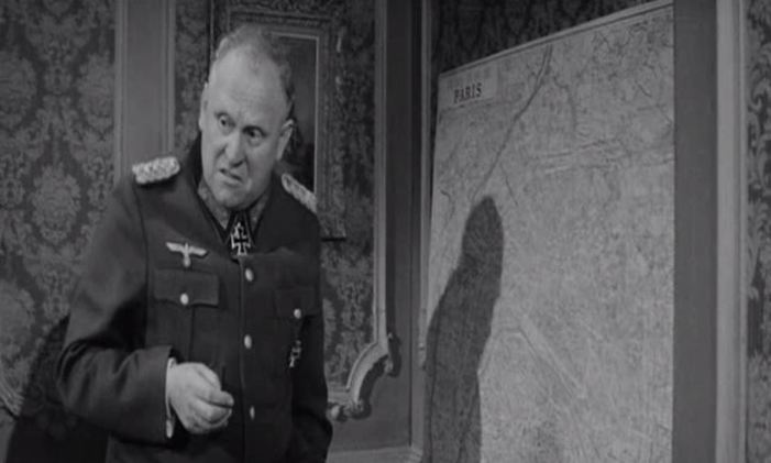 Is Paris Burning? (René Clément 1966) 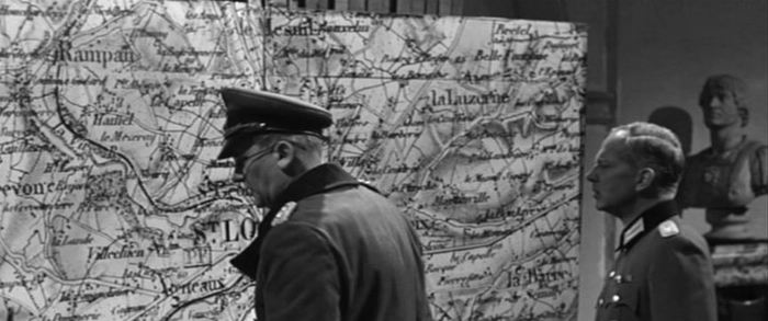 The Longest Day (Ken Annakin et al. 1962) 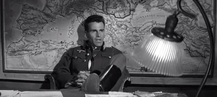 The Young Lions (Edward Dmytryk 1958) 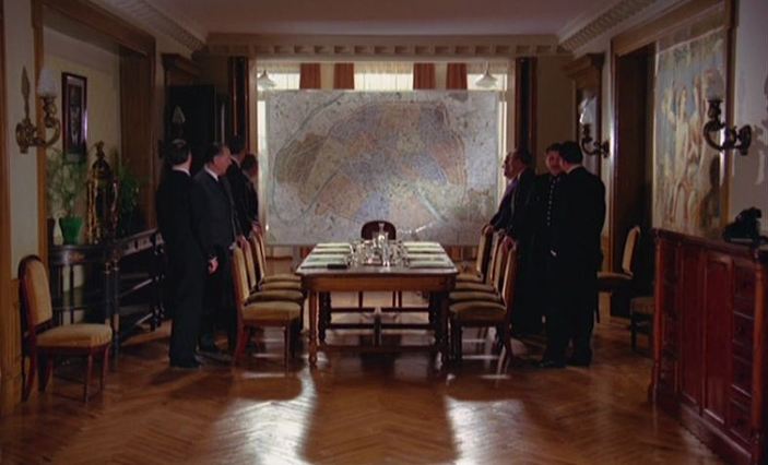 M. Klein (Joseph Losey 1976) 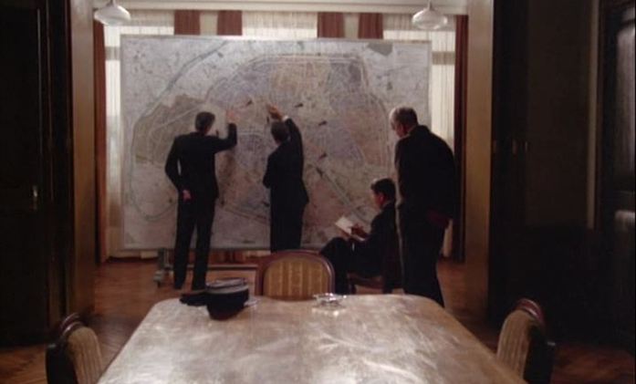 M. Klein (Joseph Losey 1976) 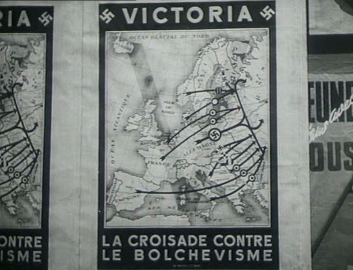 Les Miracles n’ont lieu qu’une fois (Yves Allegret 1951) 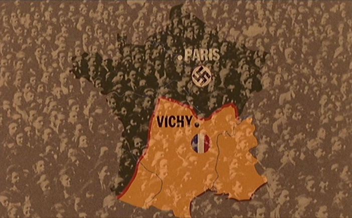 Le Dernier Métro (François Truffaut 1980)  A film about a line drawn on a map, continuing the 'Nazis with maps' theme of the last few days. All of the maps are in the one room. 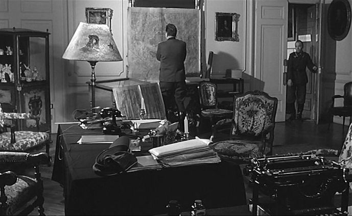 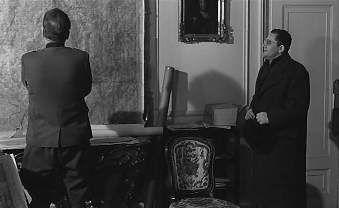 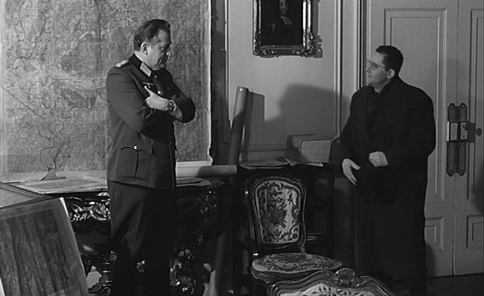 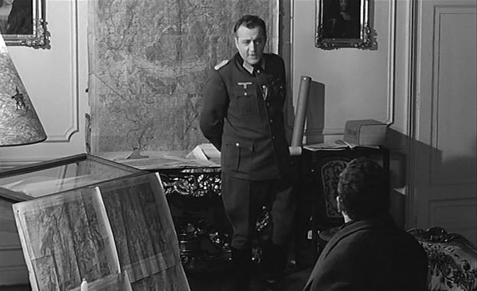 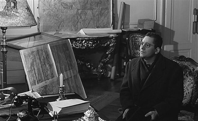 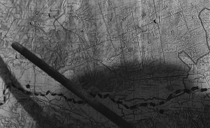 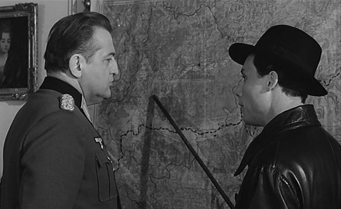 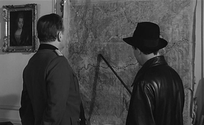 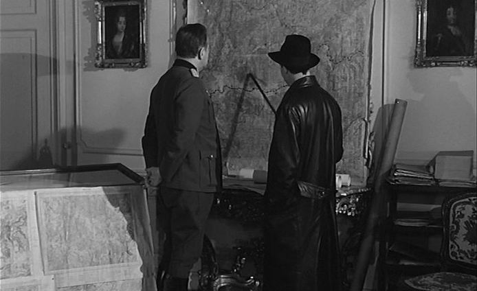 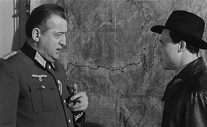 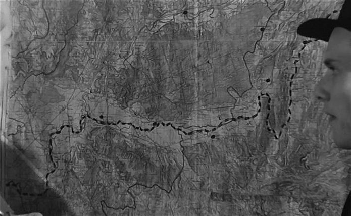 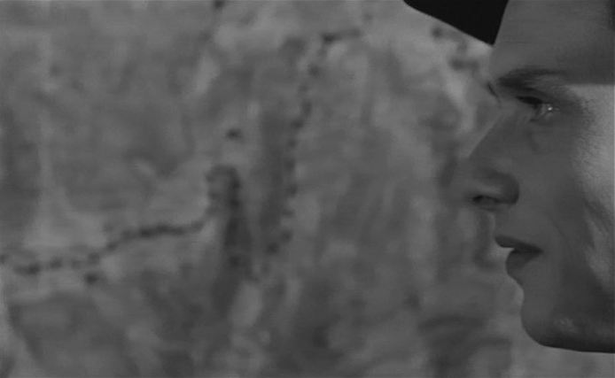 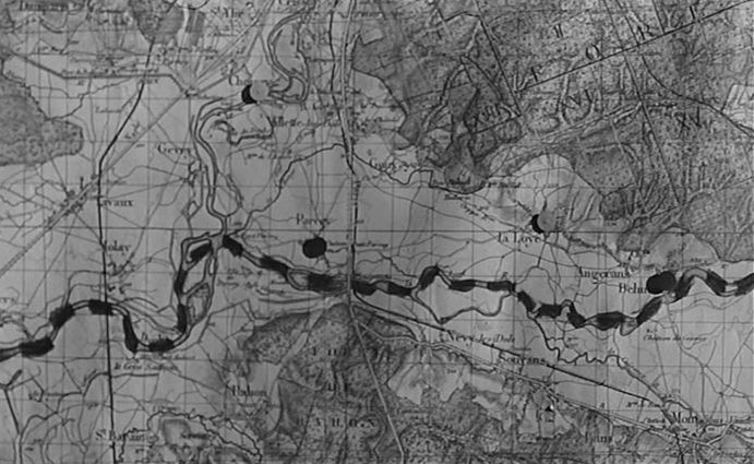 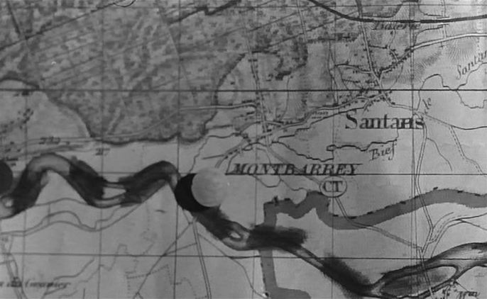 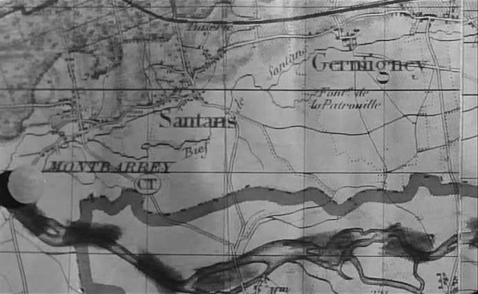 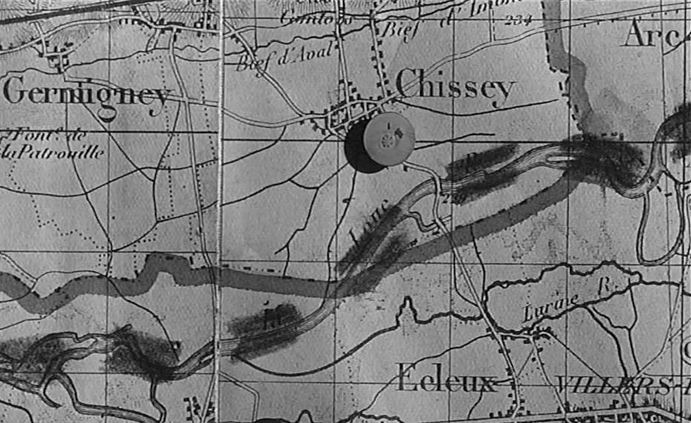 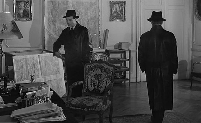 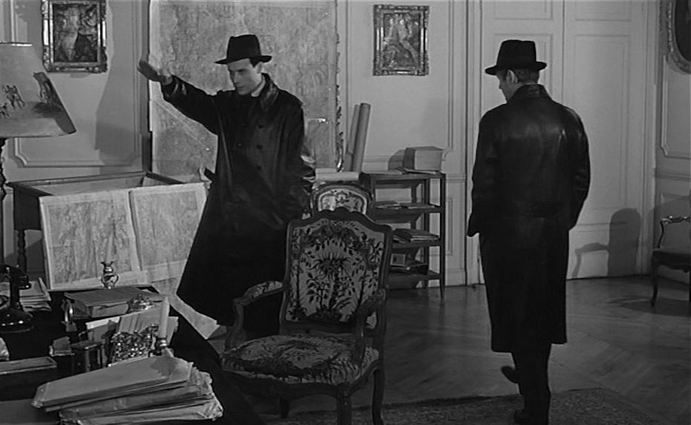 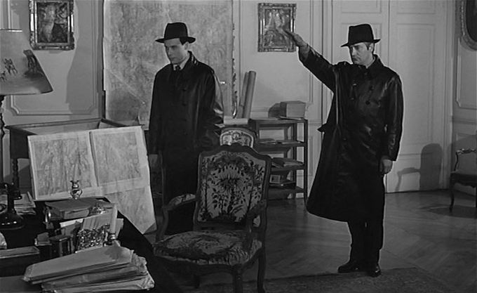 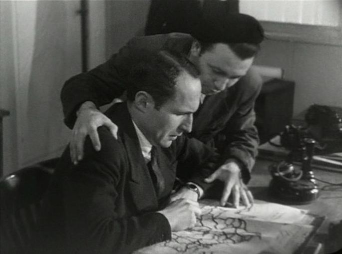 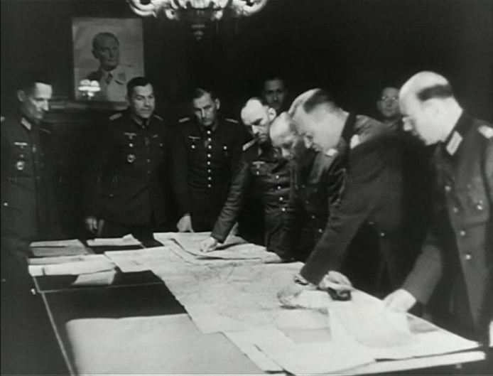 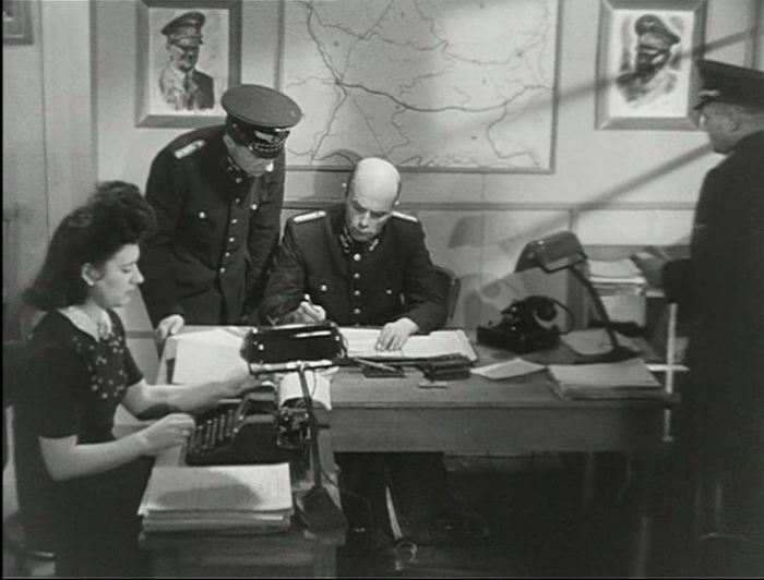 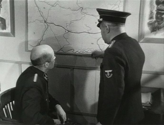  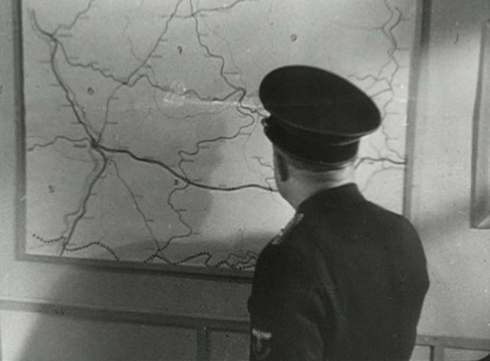 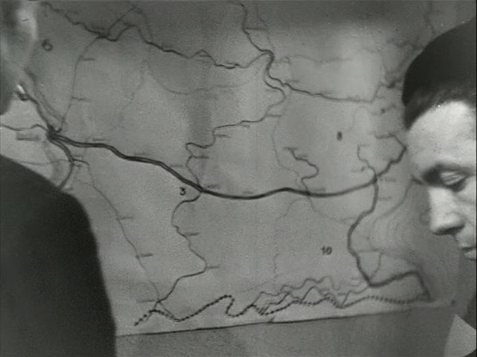 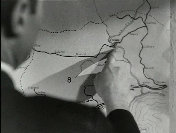 ‘The long section devoted to the German convoy, for example, starts with a shot of the Resistance leader looking at a map, cuts to the German command looking at another map, cuts to the Transport Kommandantur, where two German officers consider a railway map and then fades to the same map, but this time being studied by two Frenchmen. The montage and continuities of content clearly establish an equivalence between the German and French leaderships. This equivalence will be underscored by subsequent cross-cutting between the two commands.’ Martin O’Shaughnessy, ‘La Bataille du rail: Unconventional Form, Conventional Image?’, in Nancy Wood & Rod Kedward (eds), The Libertation of France: Image and Event (Oxford: Berg, 1995), pp.20-21. 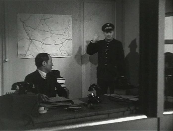 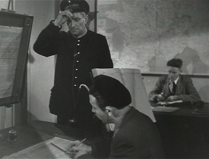 |