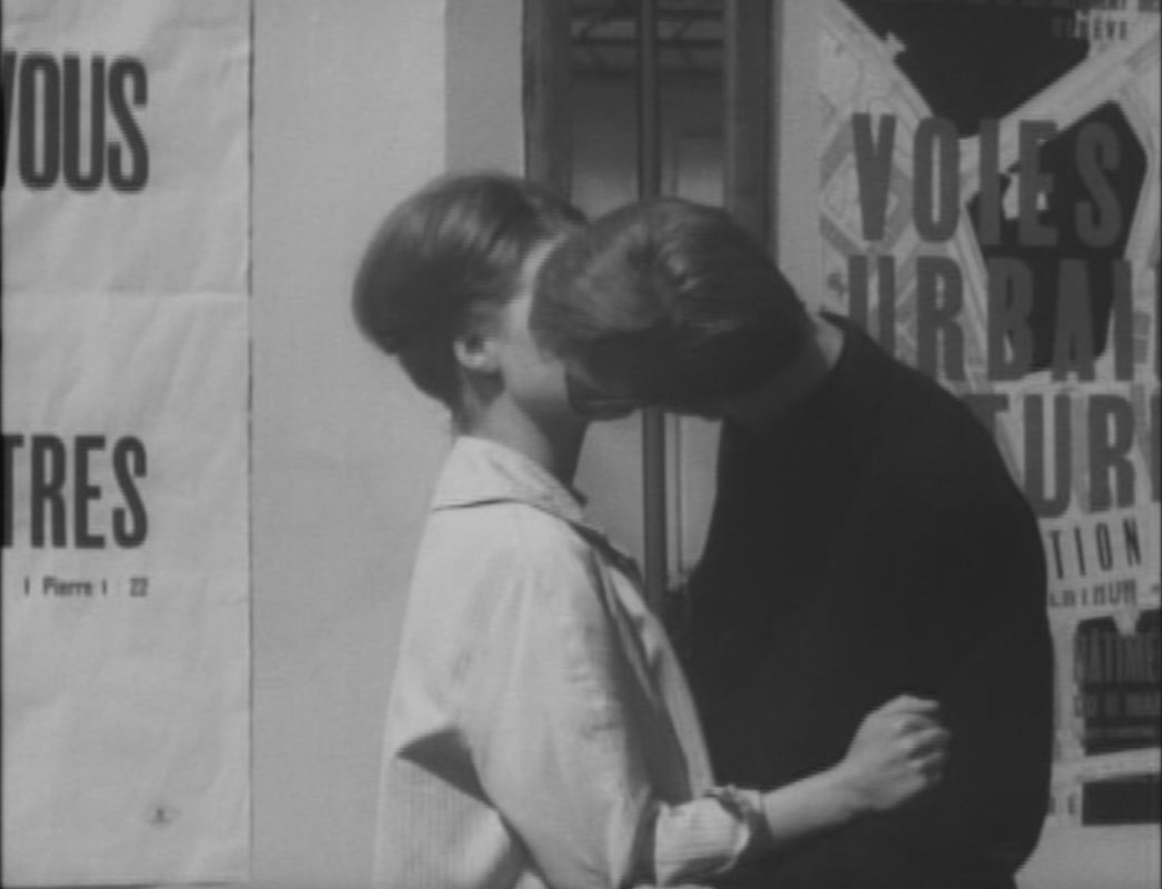
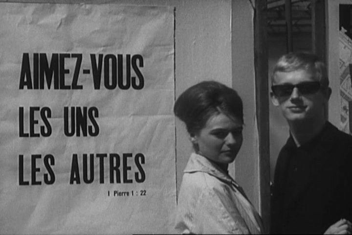
The first of the three maps in Le Petit Soldat, though it is barely noticeable behind the kissing couple, connects to an opposition in the film between the city's historic aspect - its vieille ville and its lakeside luxury hotels - and recurring examples of new architecture - hotels and apartment buildings. The poster featuring this map - presumably of Geneva - is for an exhibition called 'Voies Urbaines Futures', organised by Geneva's Department of Public Works in March and April 1960.
The other two maps appear at the headquarters of the opposing political factions represented in the film, the FLN and a French (counter-) terrorist group modelled on 'La Main Rouge' (see here for further information on the political background to these plot elements).
The other two maps appear at the headquarters of the opposing political factions represented in the film, the FLN and a French (counter-) terrorist group modelled on 'La Main Rouge' (see here for further information on the political background to these plot elements).
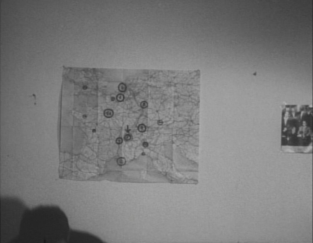
In the modern apartment used by the FLN as a base, a map of Western Europe shows several locales, some of them numbered. I can't identify them all, but several are ports (Nantes, Toulon, Genoa, Bristol) and others are major European cities (Brussels, Paris, Zurich Milan, Munich). Rotterdam and Frankfurt are mentioned at this point in the film as sites of terrorist actions. The city with an arrow pointing to it is Geneva.
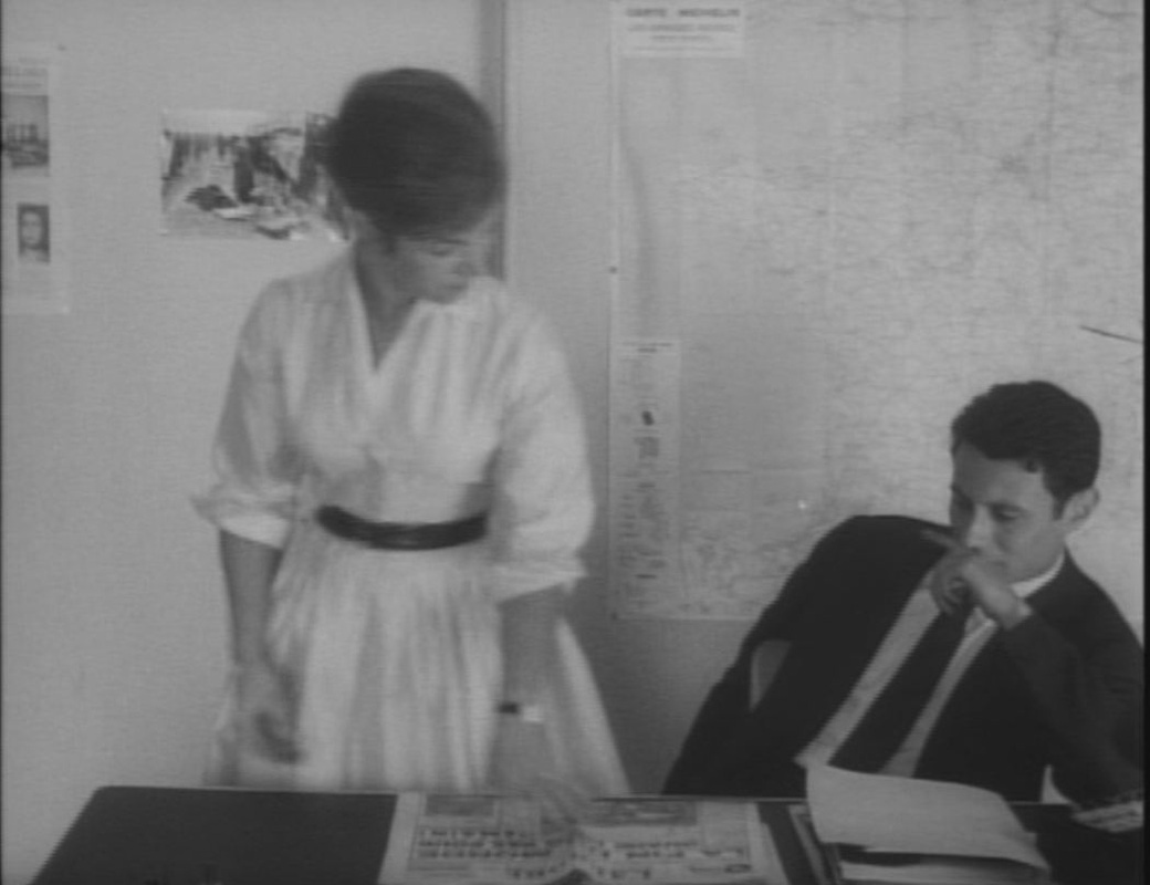
In the offices of the 'Compagnie Française d'Information', a front for the French terrorist cell, a map of France includes neighbouring Switzerland to the right, with Geneva circled and surrounded by arrows:

These are the maps in the film.
For maps of the film, and other aspects of the film's topography, see my essay on Vimeo, here, derived from the Geneva part of a 'Cities Methodologies' installation hosted by UCL and the Slade in 2010.
(For more on the chronology of Le Petit Soldat, see here.)
For maps of the film, and other aspects of the film's topography, see my essay on Vimeo, here, derived from the Geneva part of a 'Cities Methodologies' installation hosted by UCL and the Slade in 2010.
(For more on the chronology of Le Petit Soldat, see here.)
After 366 postings, a full year's worth, this is the last daily map.
I shall still be posting pictures of maps in films, but only sporadically, alongside occasional BlowUp moments and the odd piece of escalographic Parisiana.
Thanks for following.
I shall still be posting pictures of maps in films, but only sporadically, alongside occasional BlowUp moments and the odd piece of escalographic Parisiana.
Thanks for following.