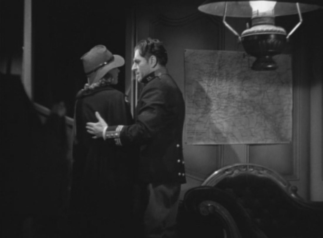
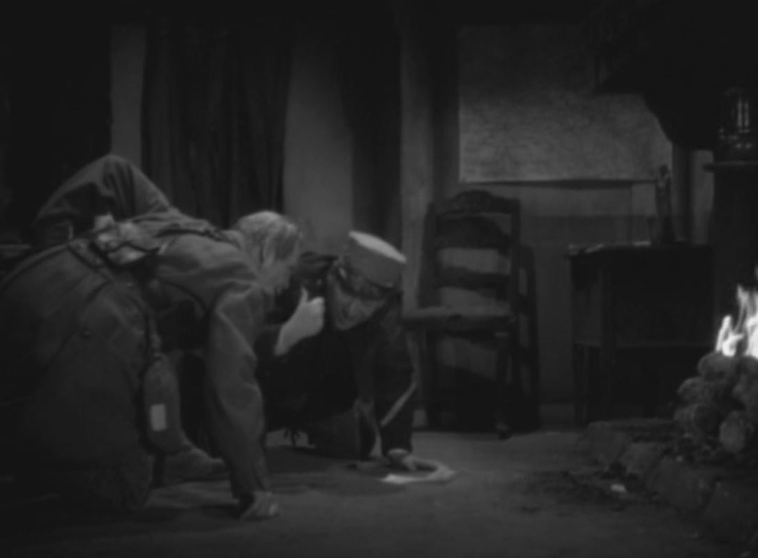
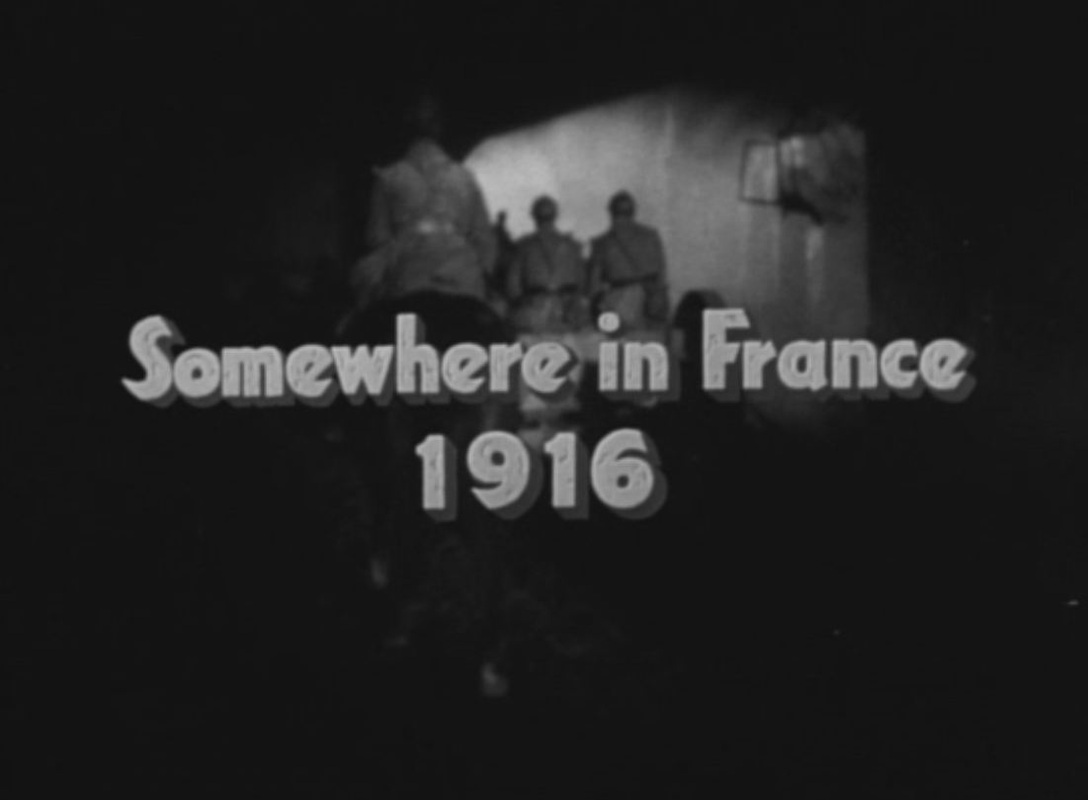
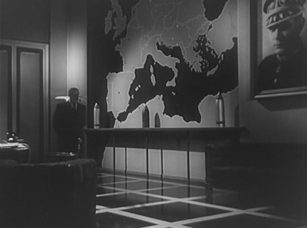
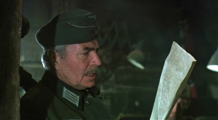
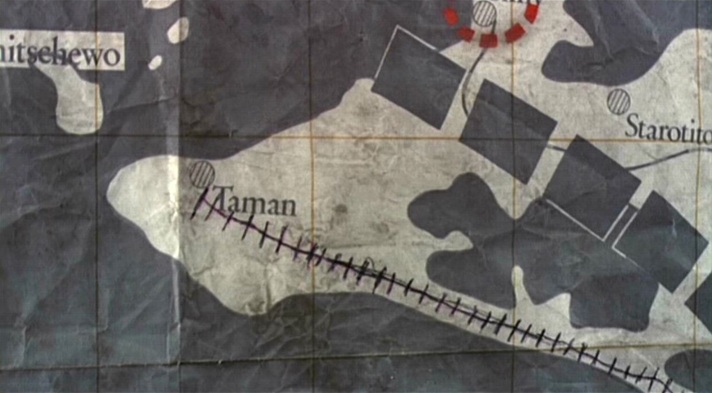
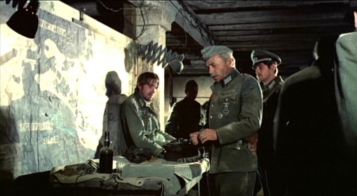
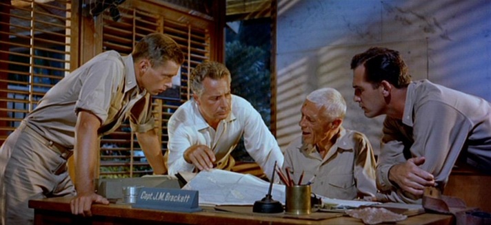
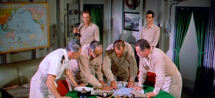
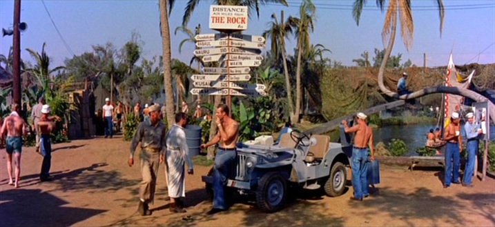
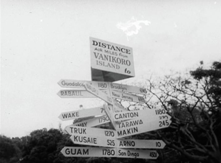
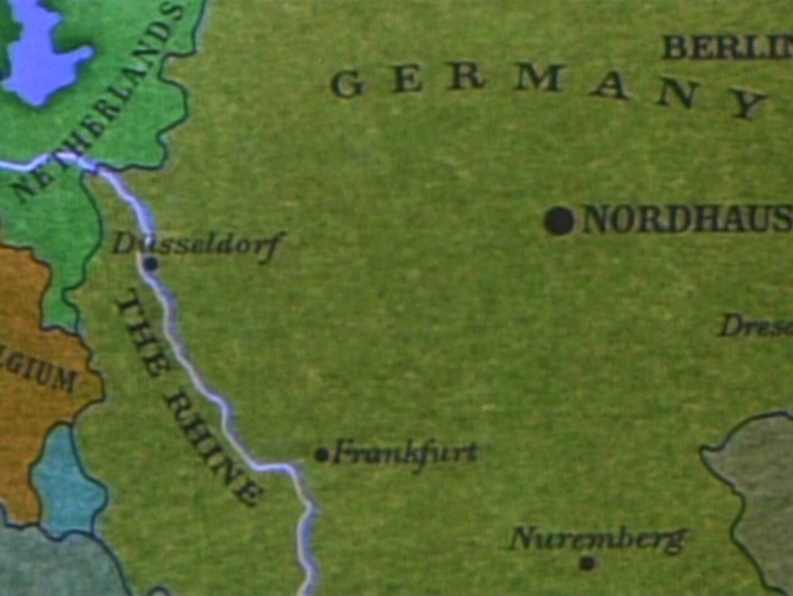
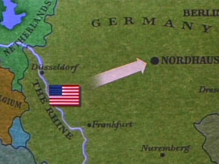
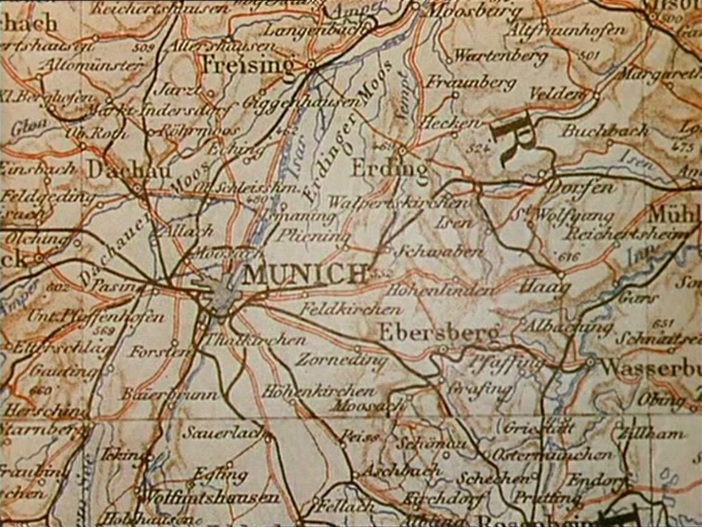
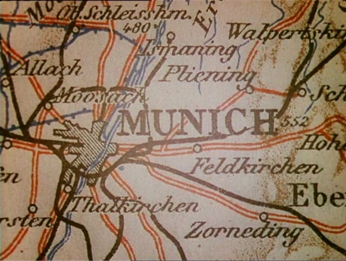
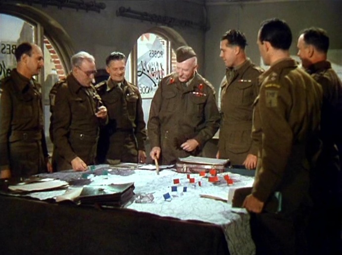
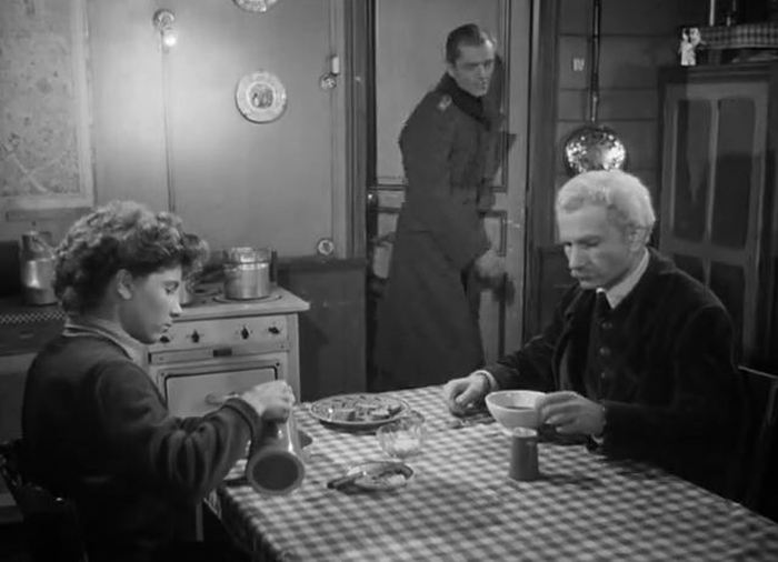
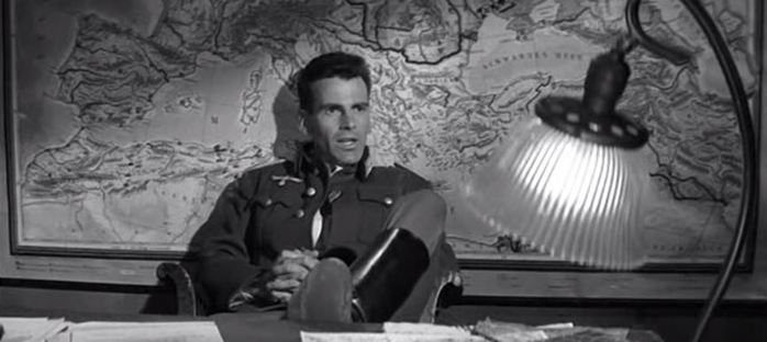
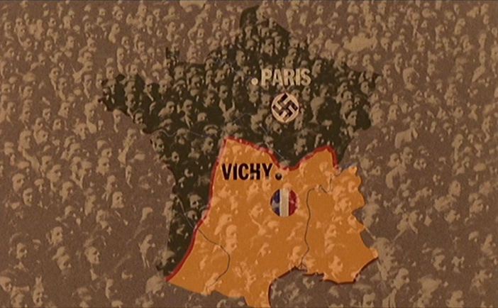
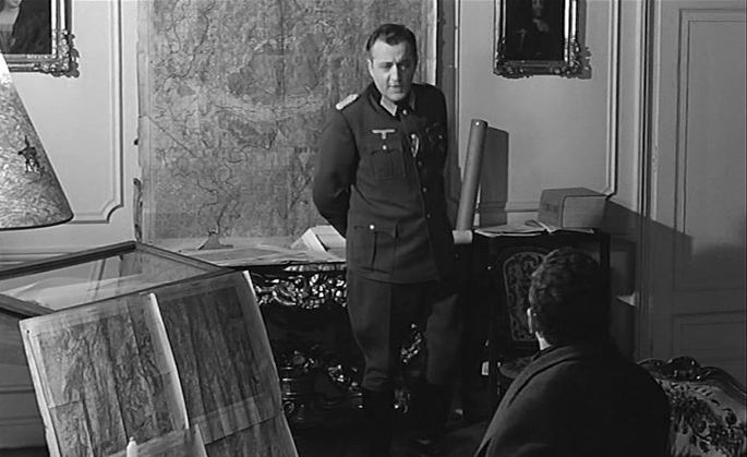
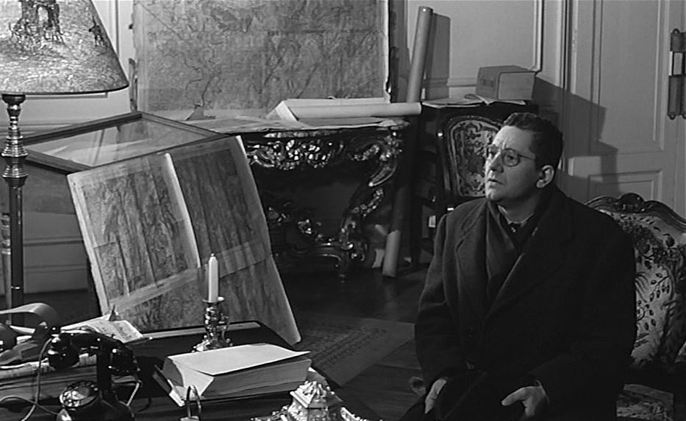
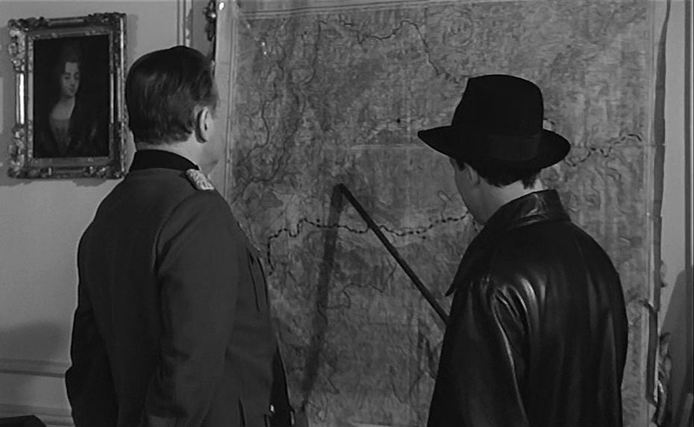
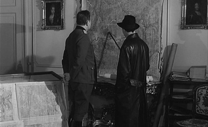
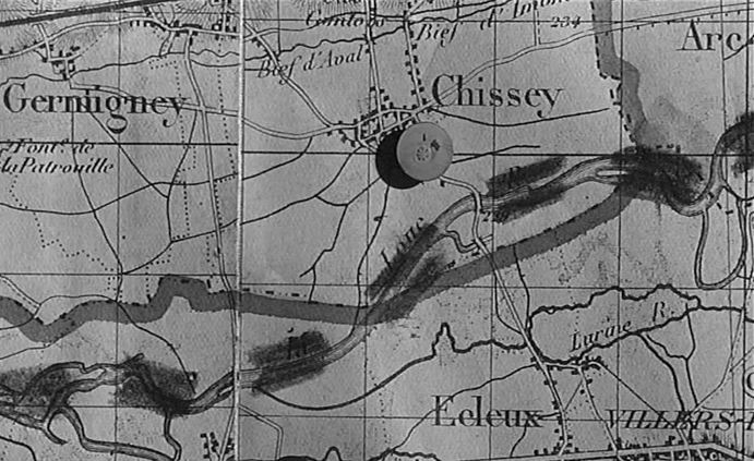
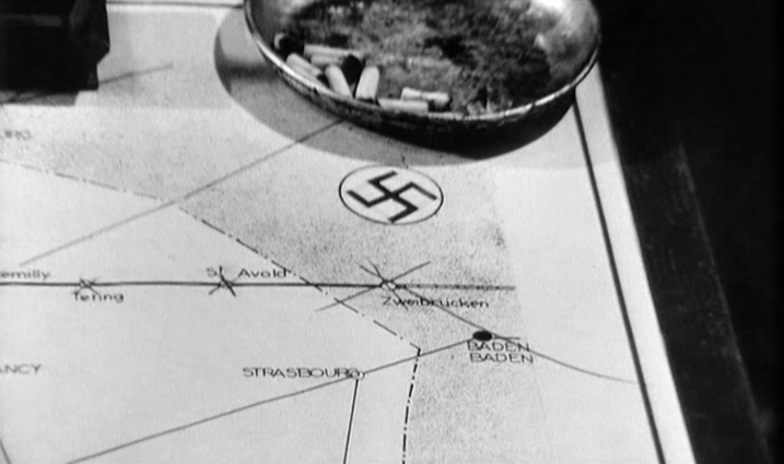
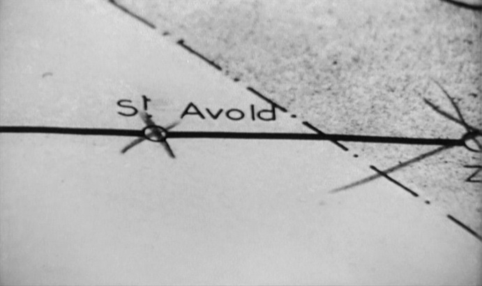
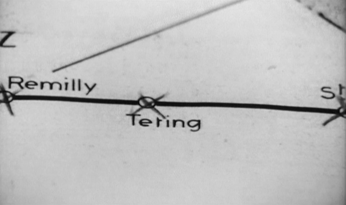
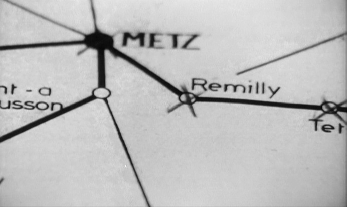
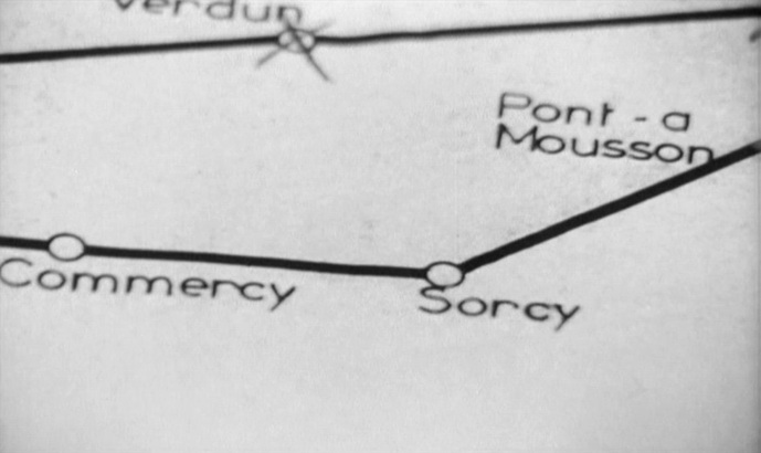
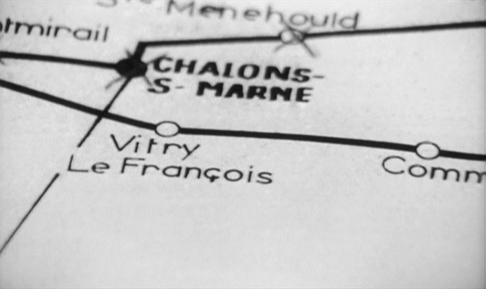
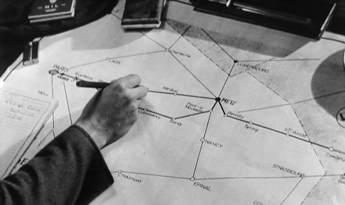
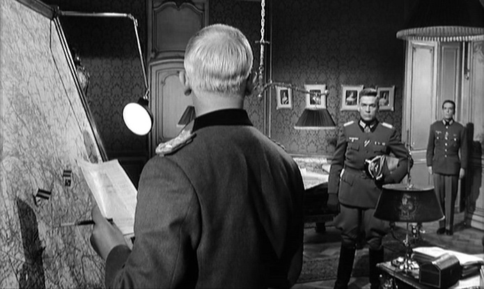
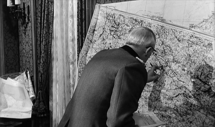
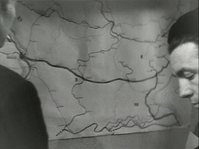
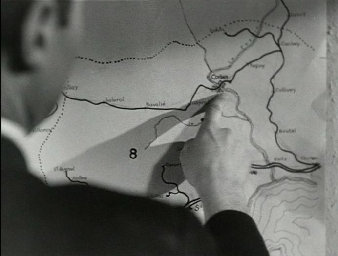
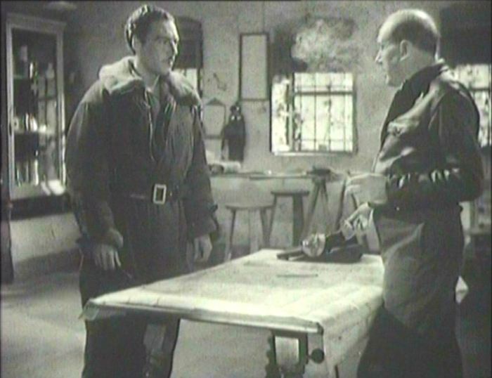
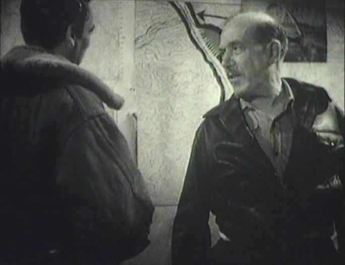
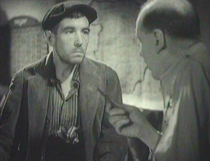
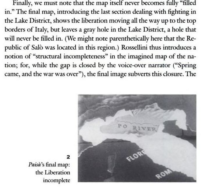
As befits a film that opens with the geographically vague title 'Somewhere in France, 1916', The Road to Glory pays no close attention to the maps in its establishing décor.
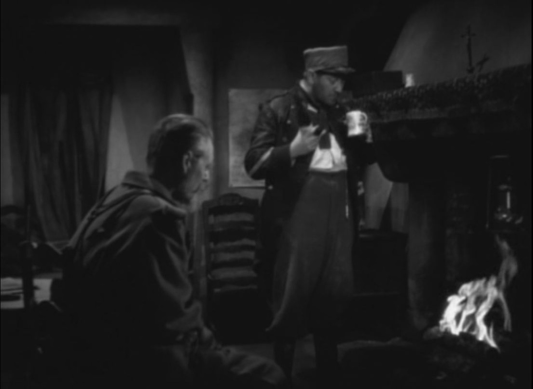
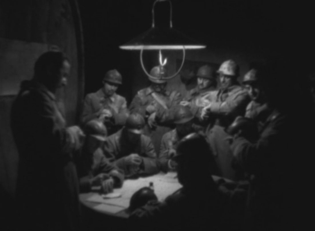
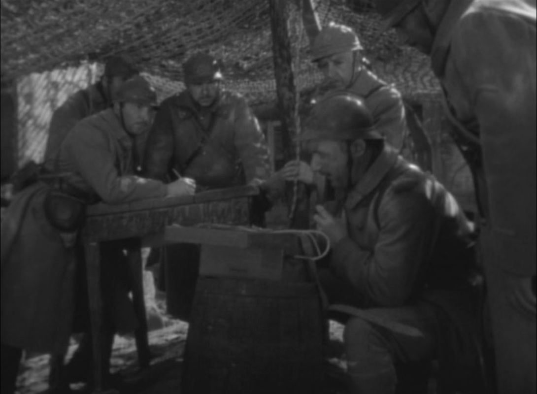
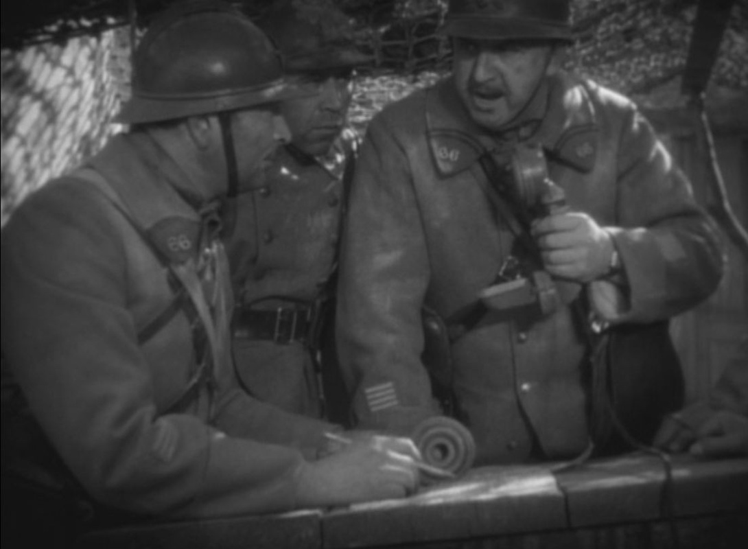
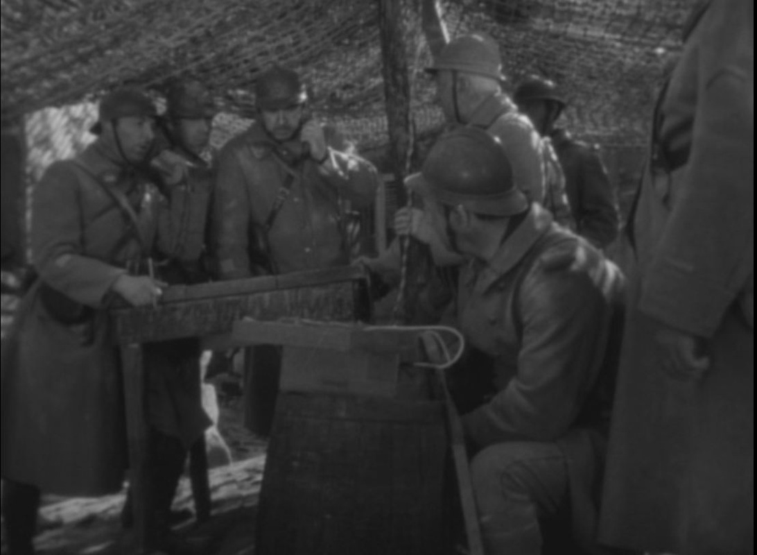
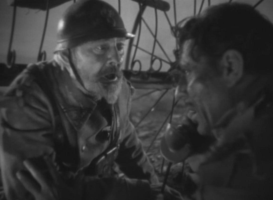
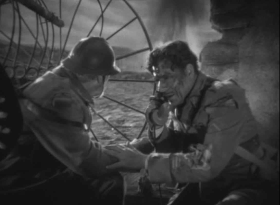
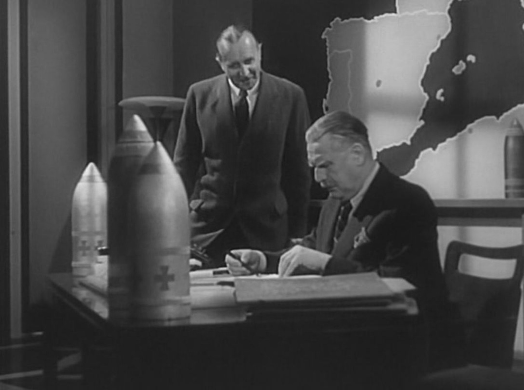
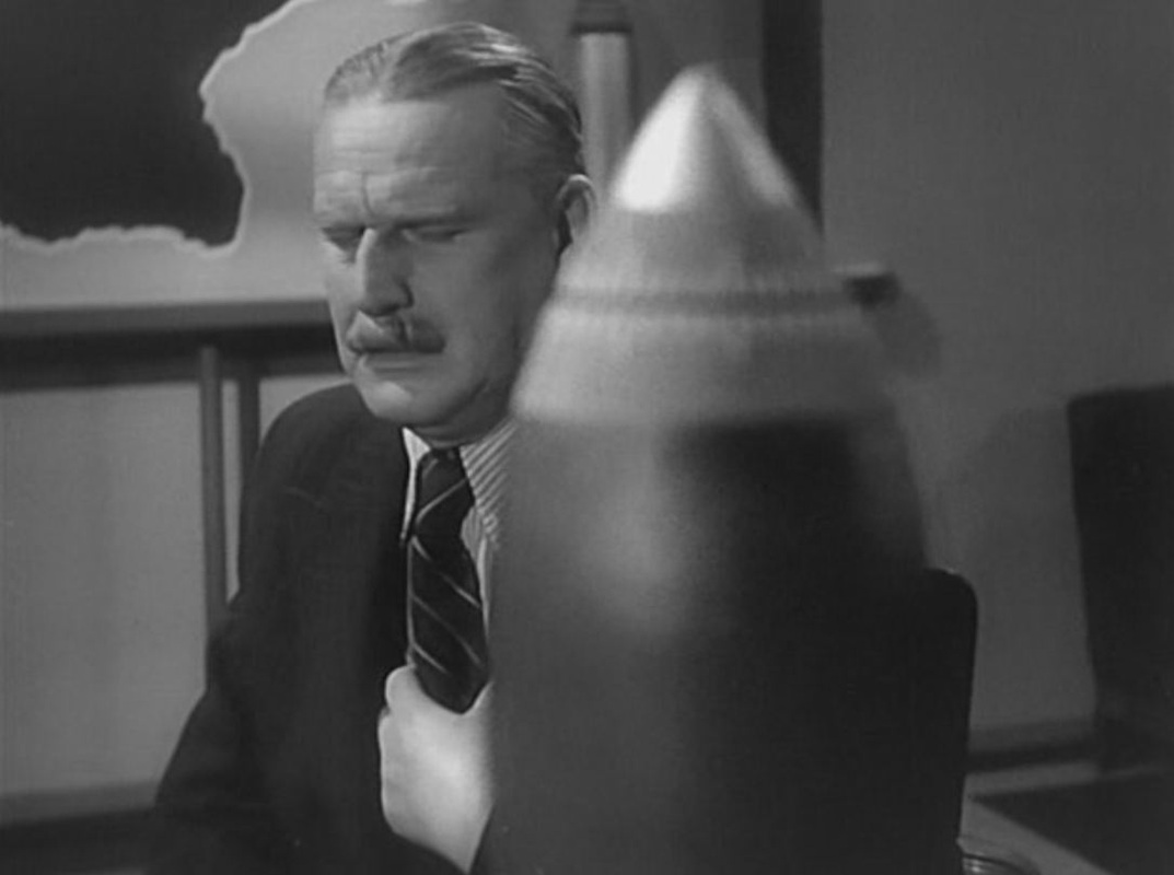
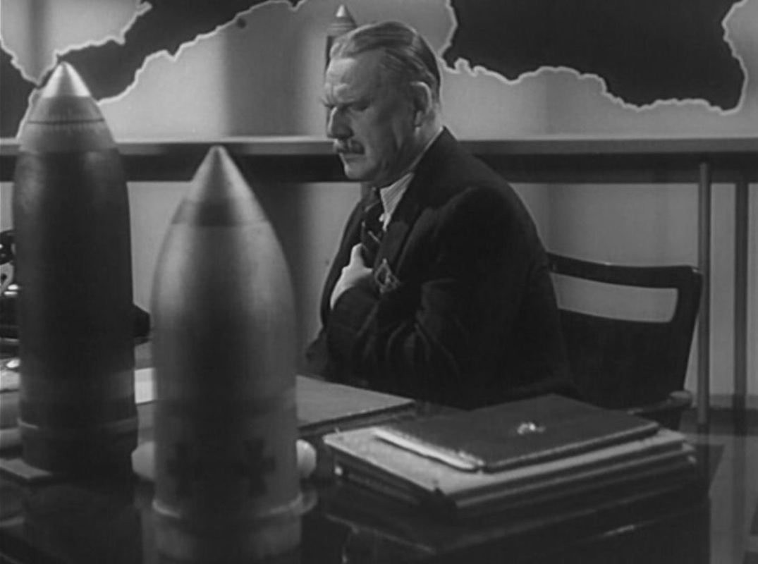
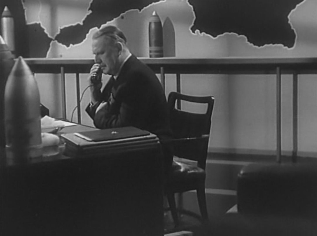
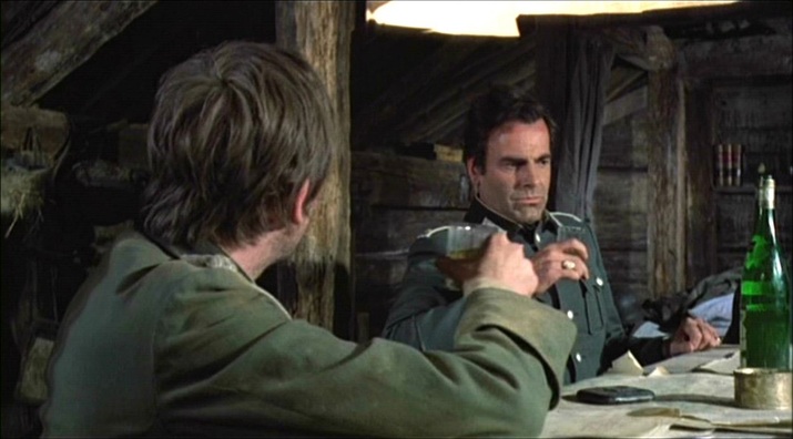
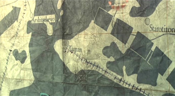
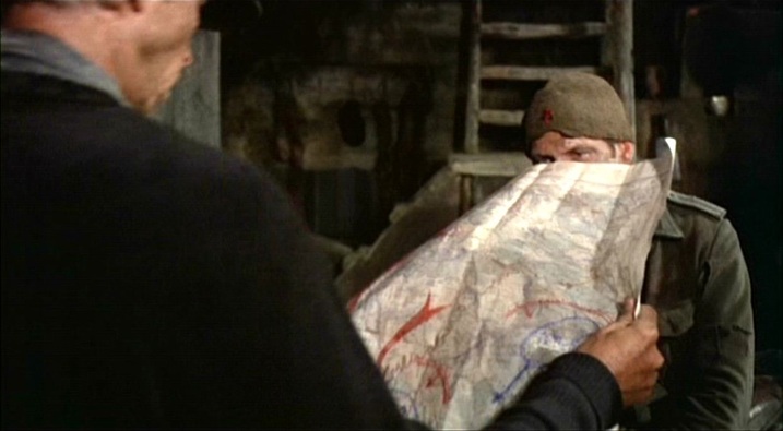
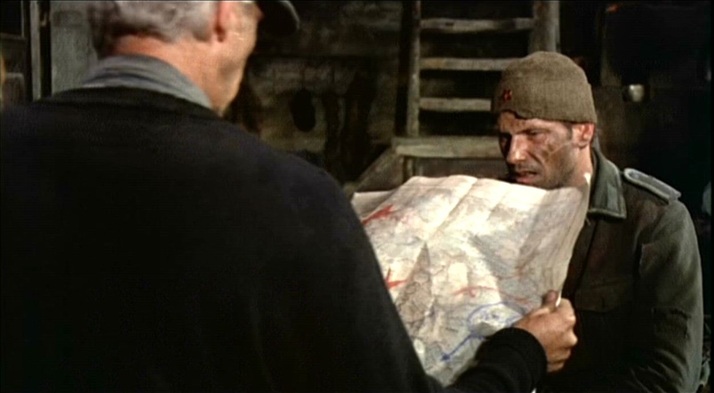
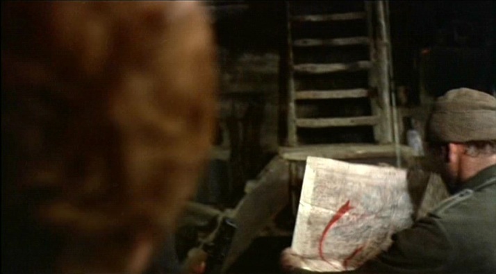
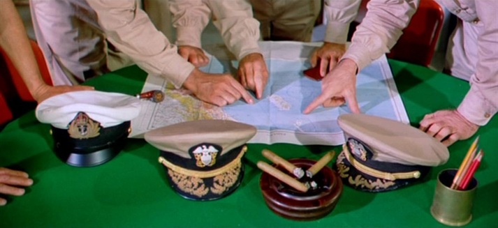
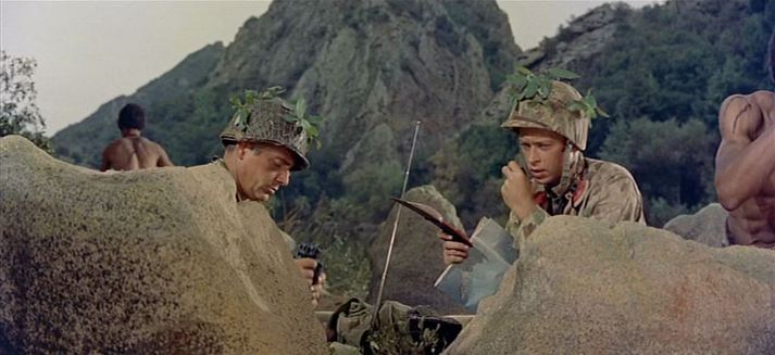
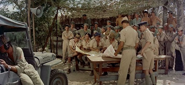
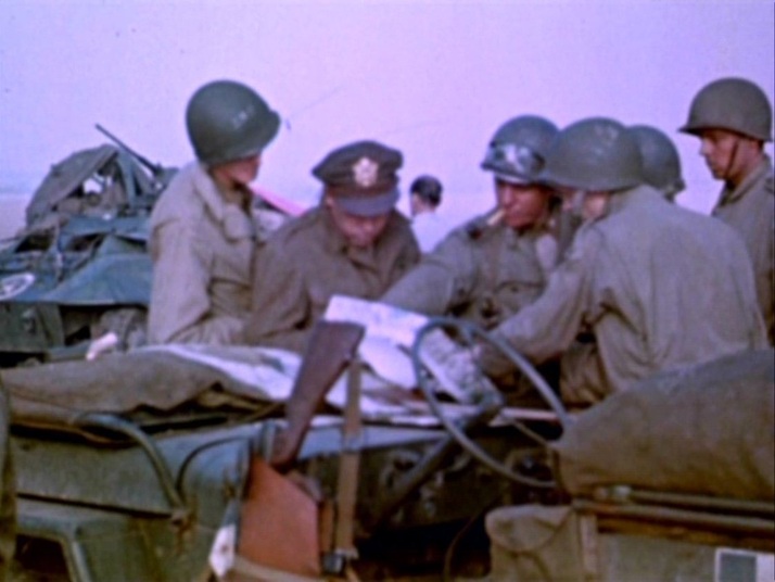
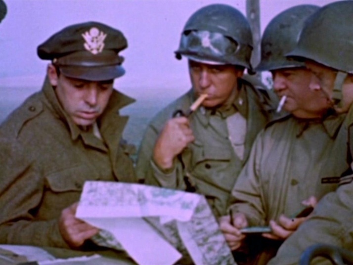
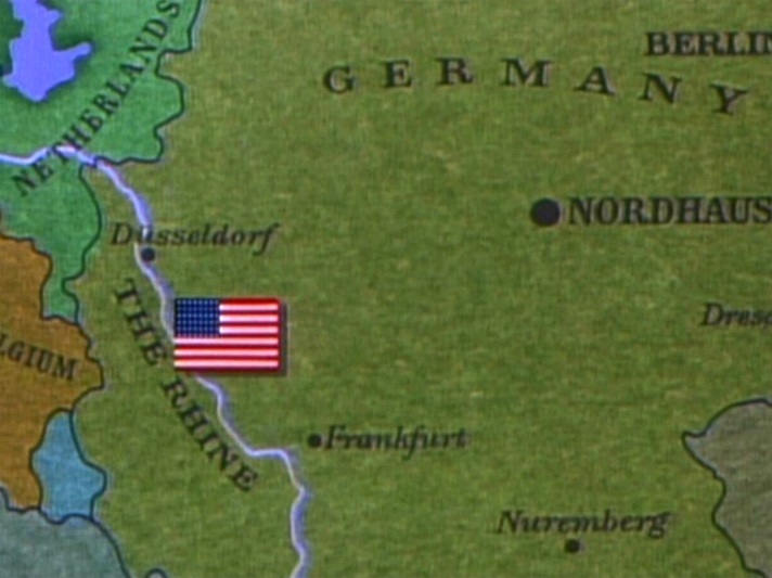
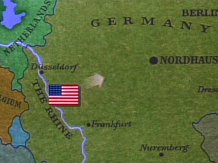
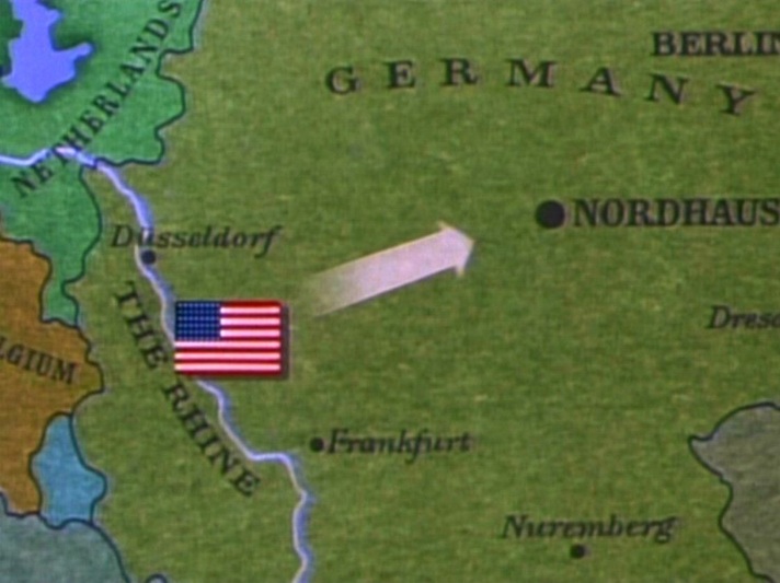
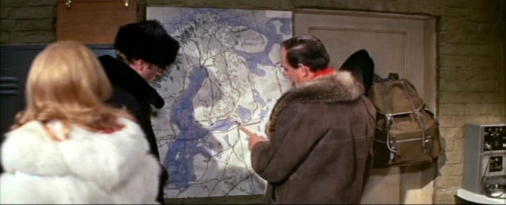
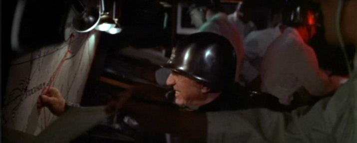
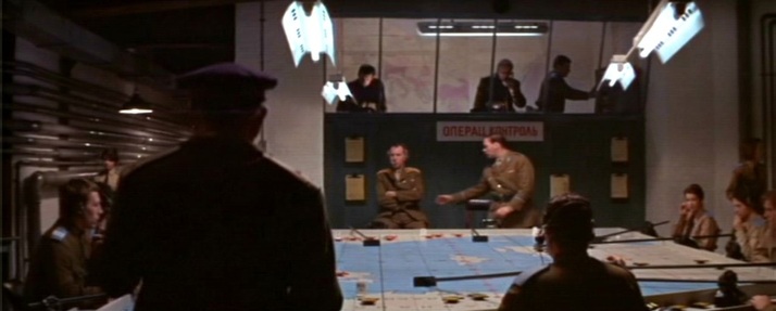
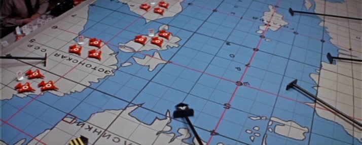
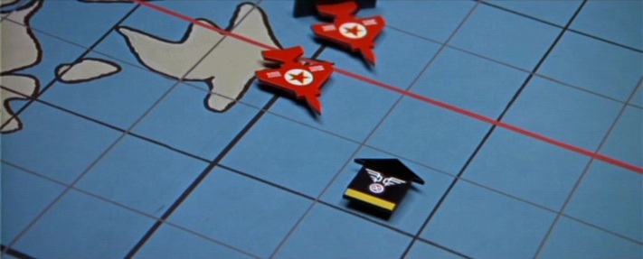
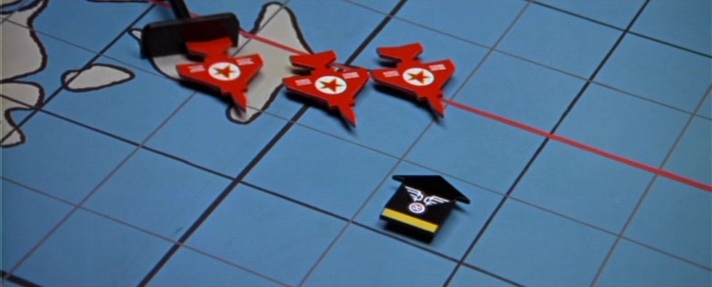
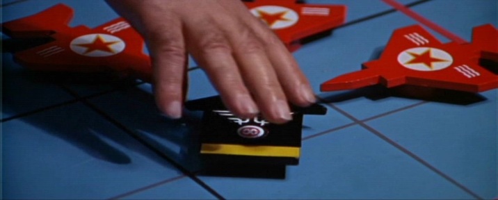
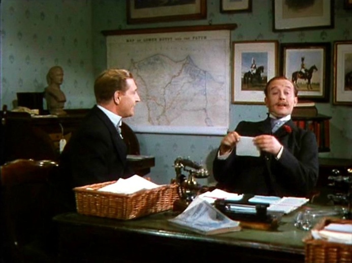
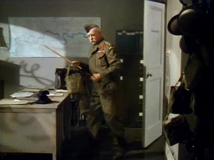
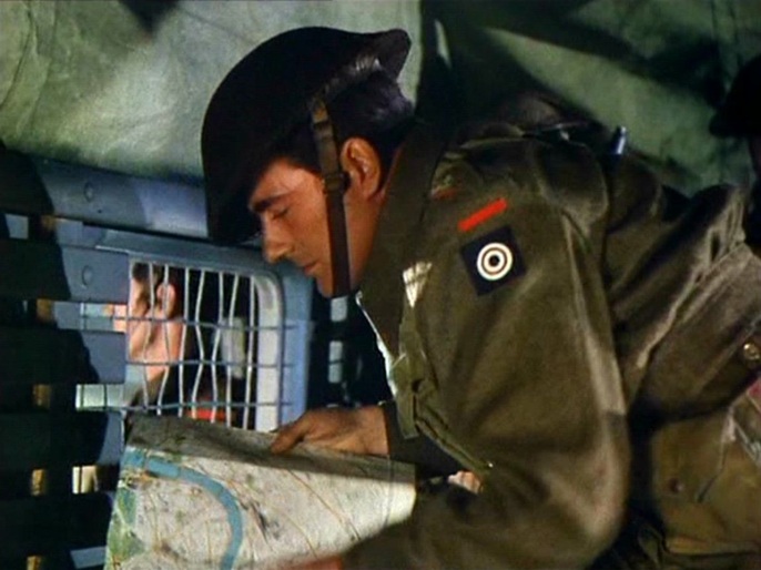
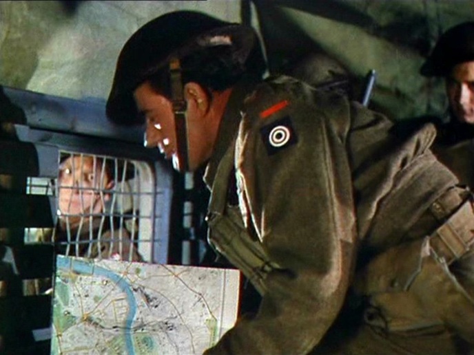
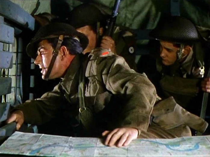
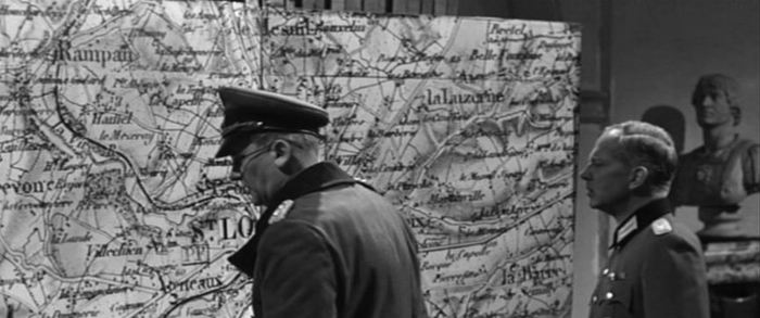
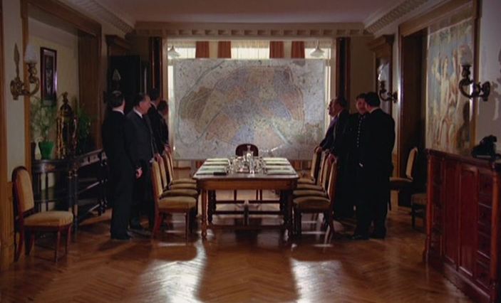
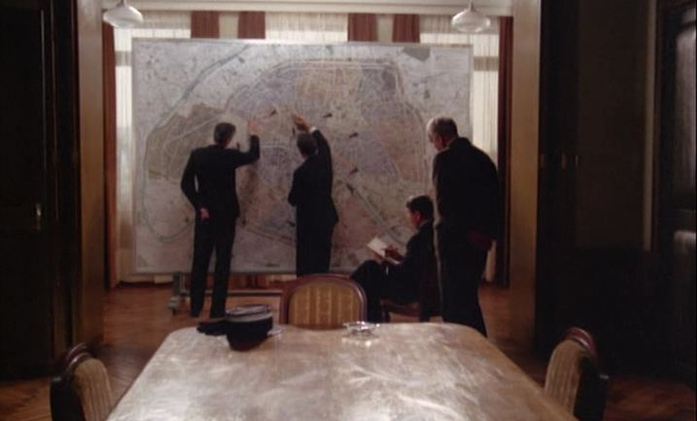
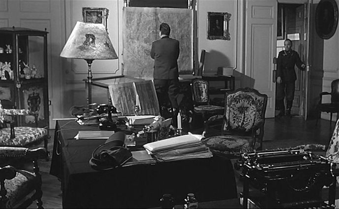
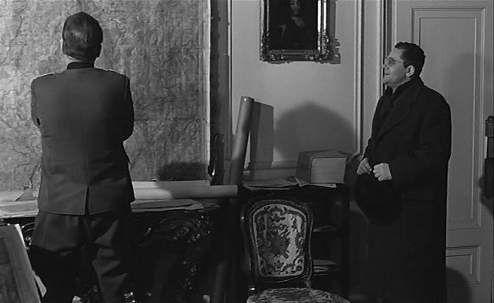
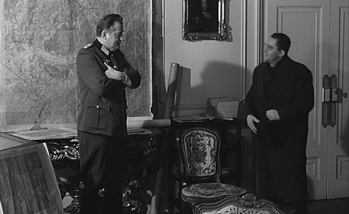
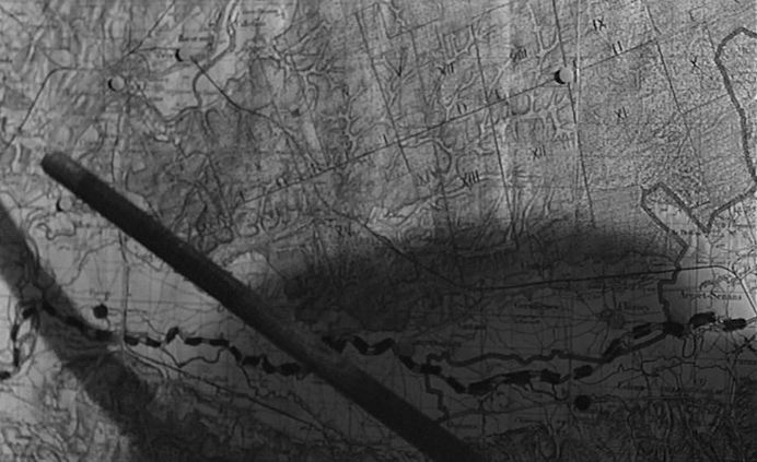
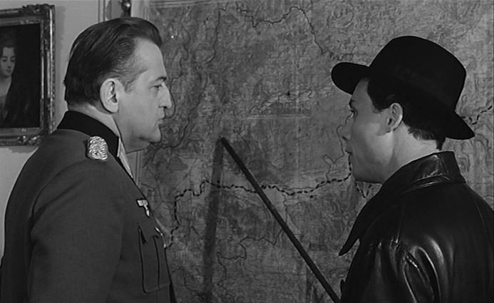
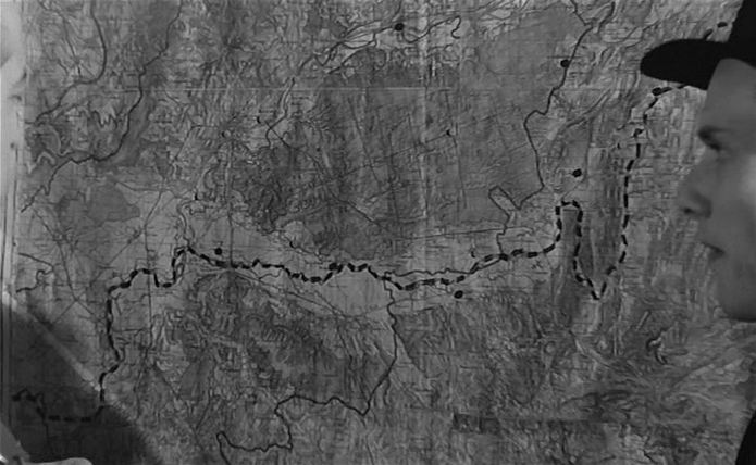
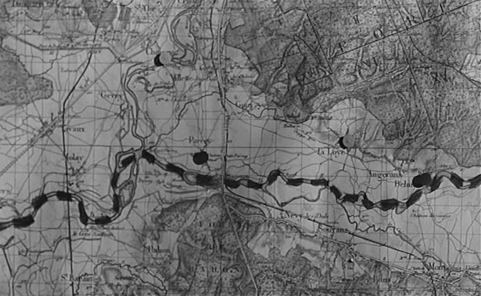
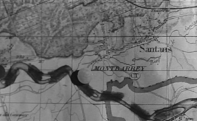
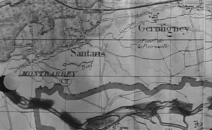
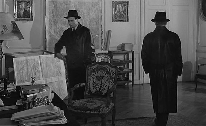
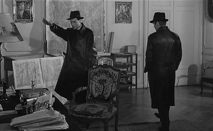
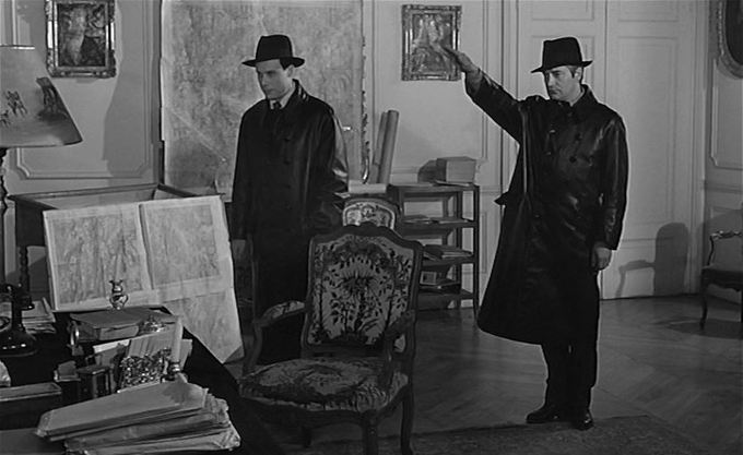
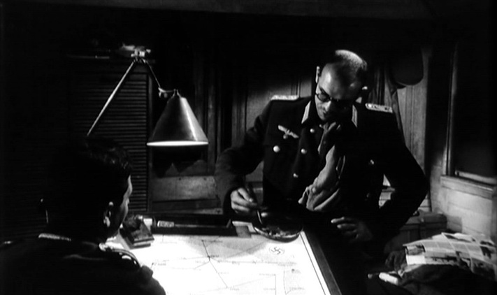
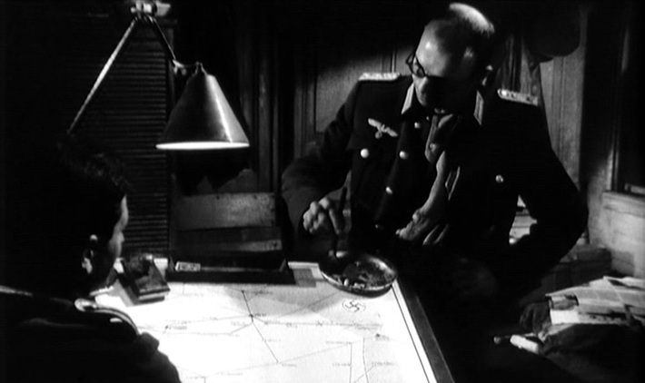
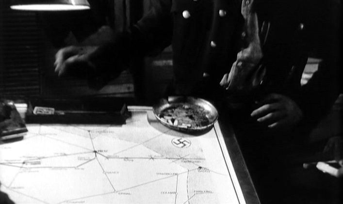
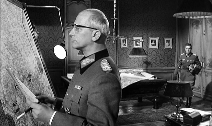
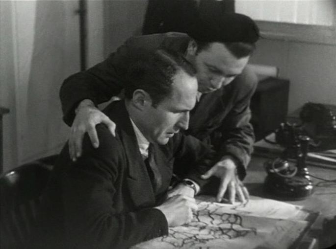
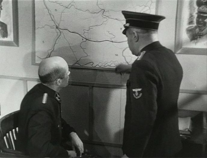
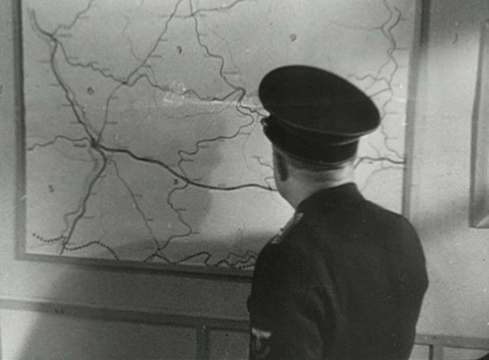
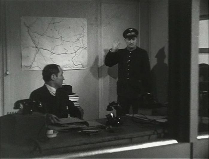
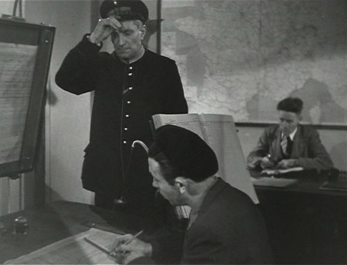
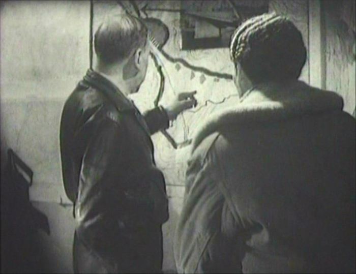
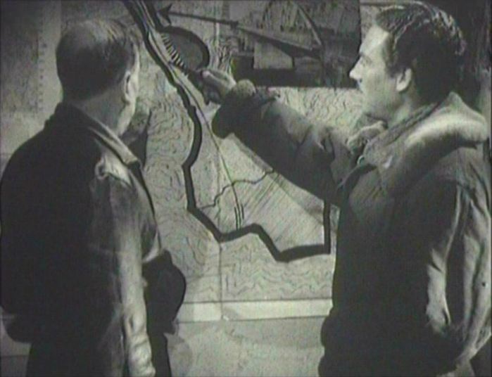
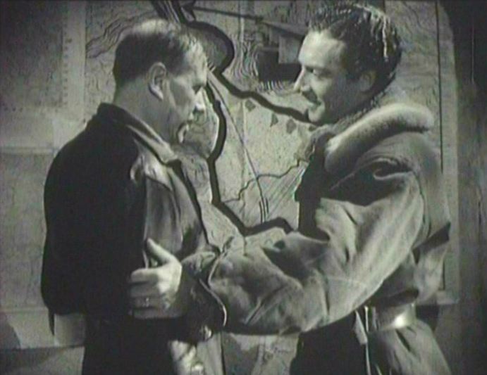
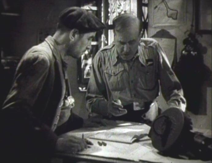
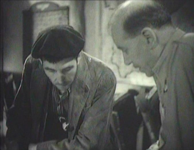
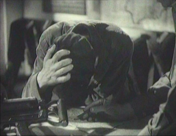
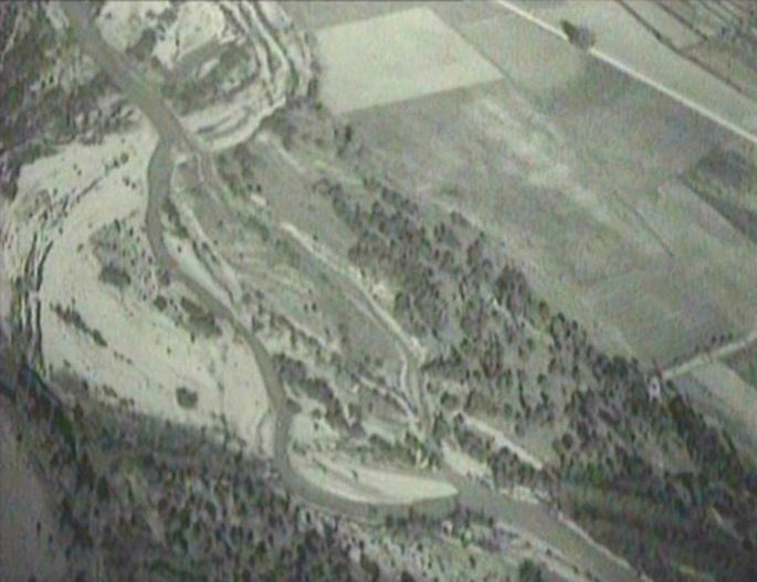
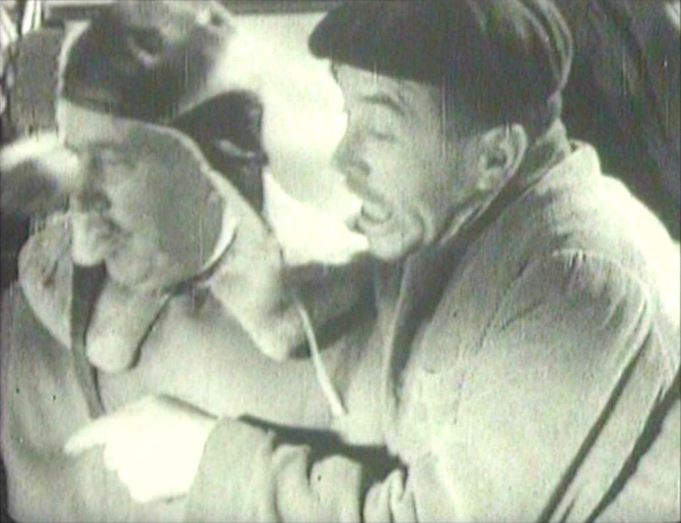
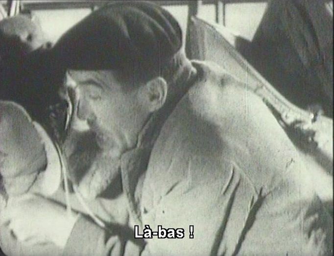
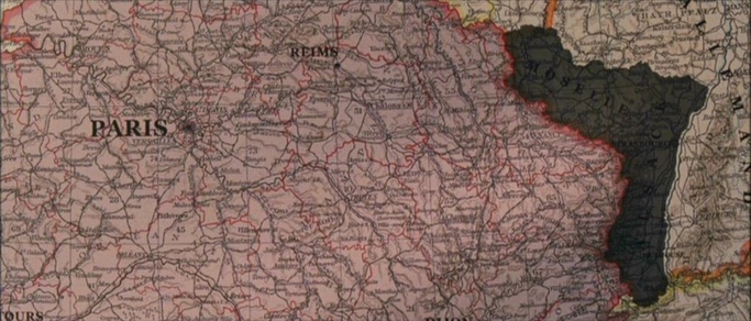
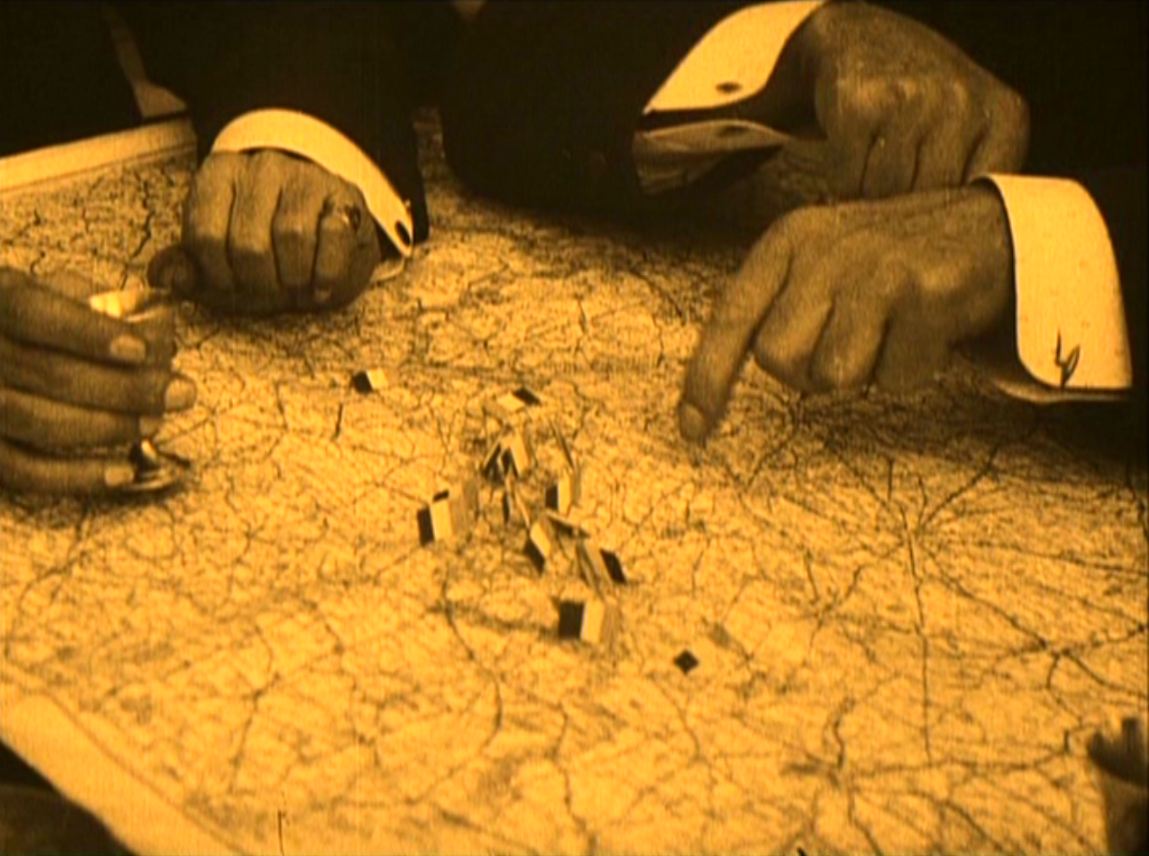
Its climax, however, turns on a blinded officer and his father at an advanced observation post communicating the range of an artillery barrage back to the gunners who then plot the distances, presumably with reference to a map:
Its climax, however, turns on a blinded officer and his father at an advanced observation post communicating the range of an artillery barrage back to the gunners who then plot the distances, presumably with reference to a map:


