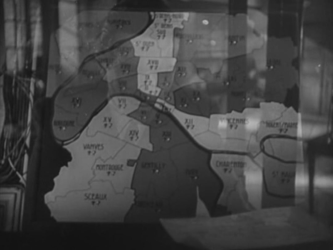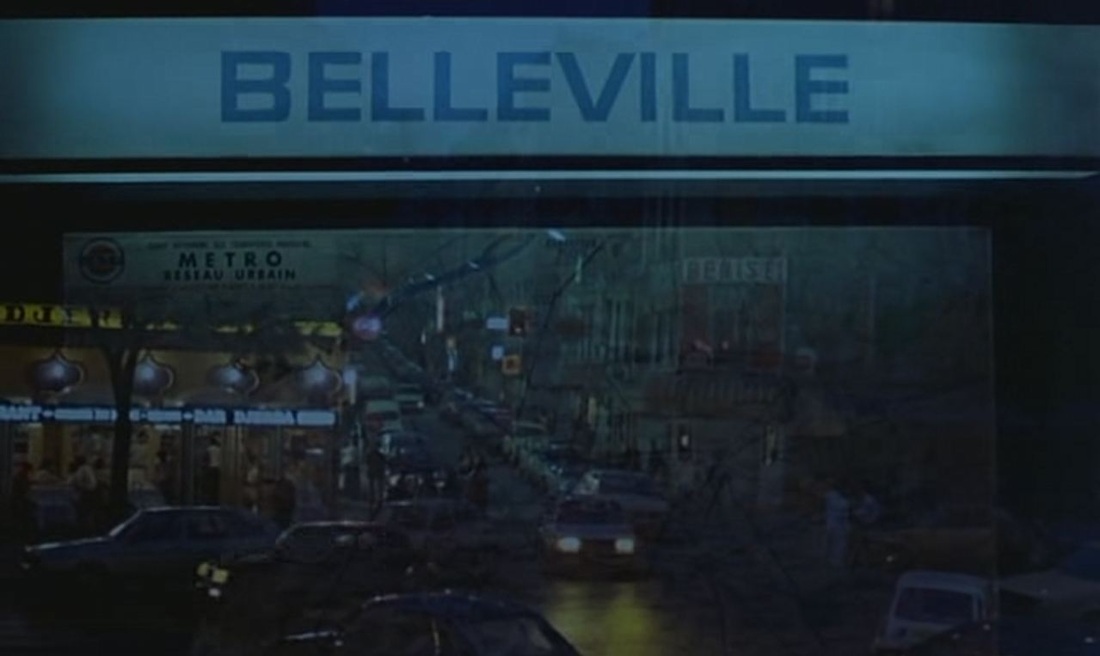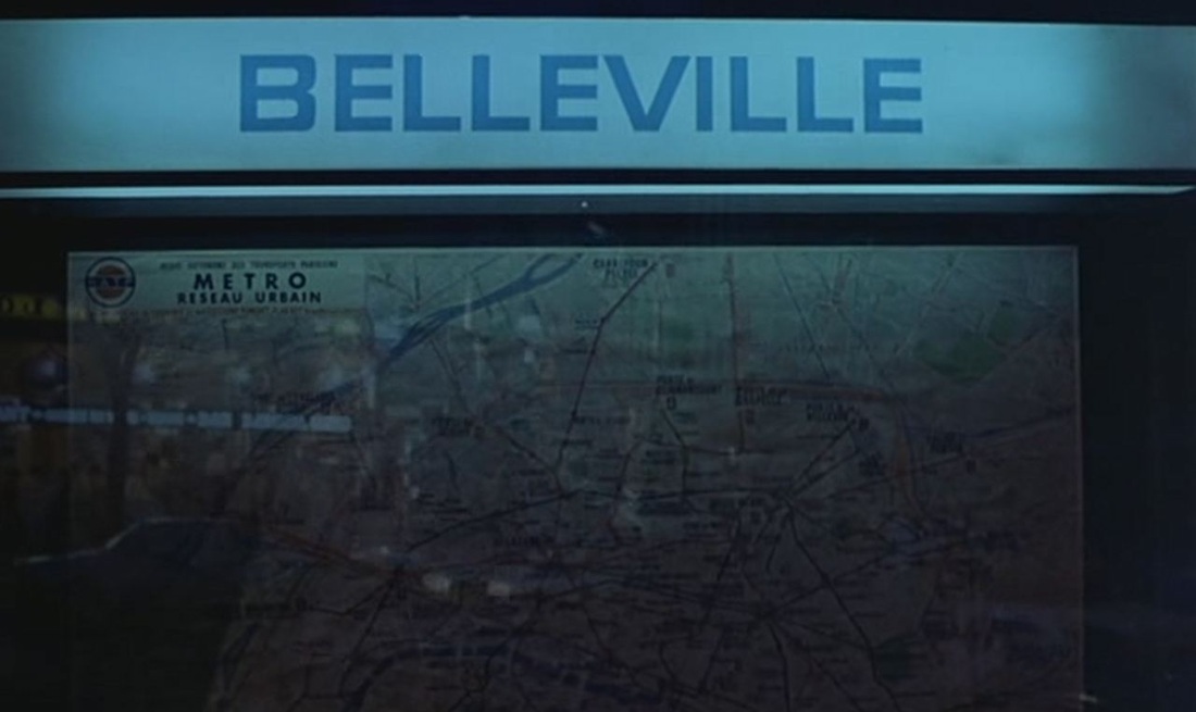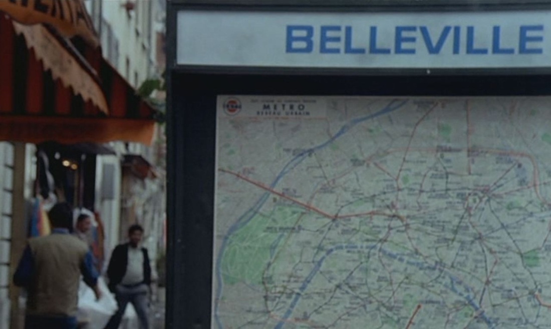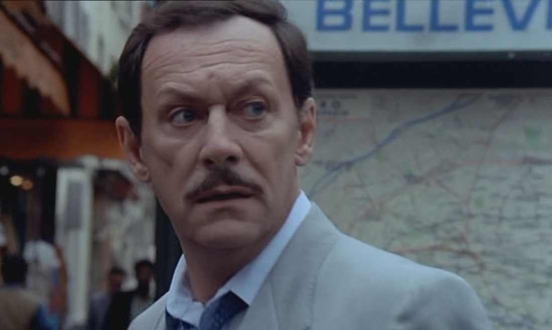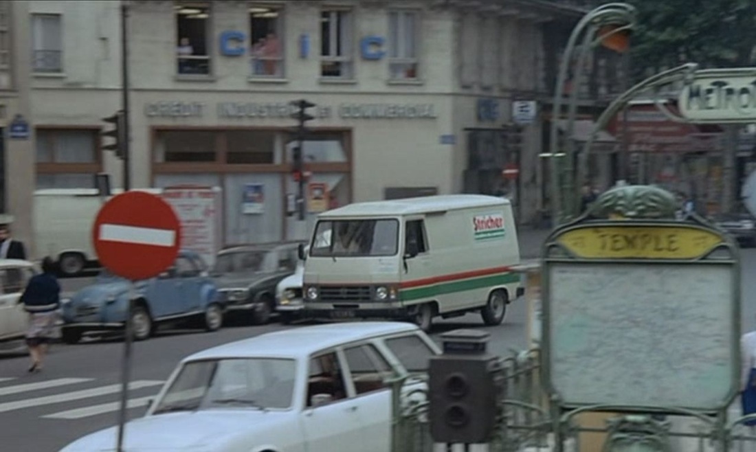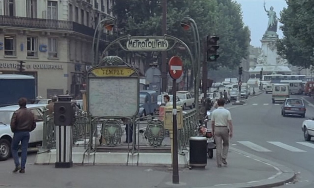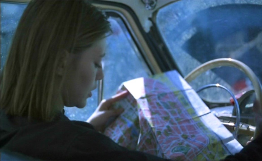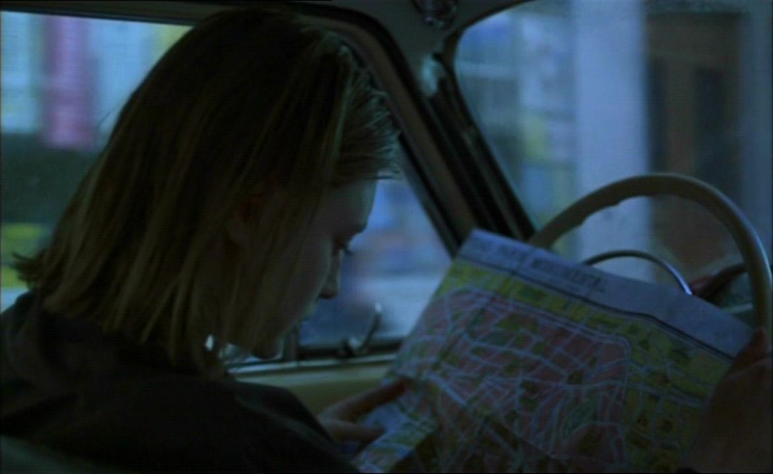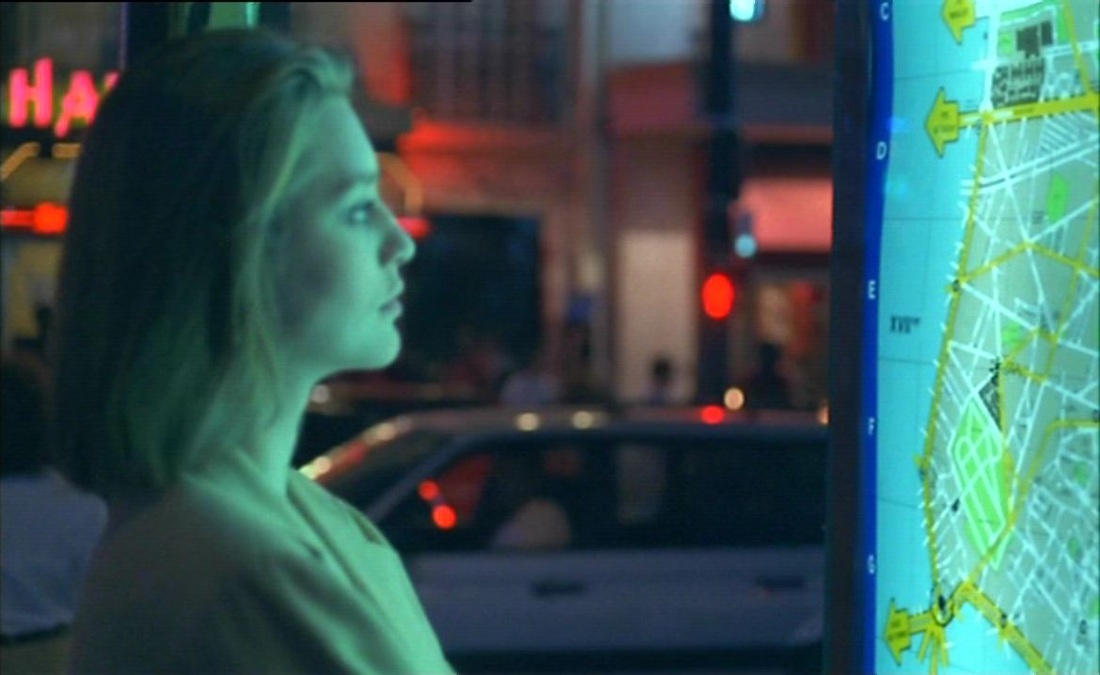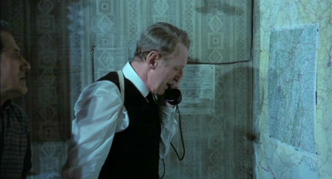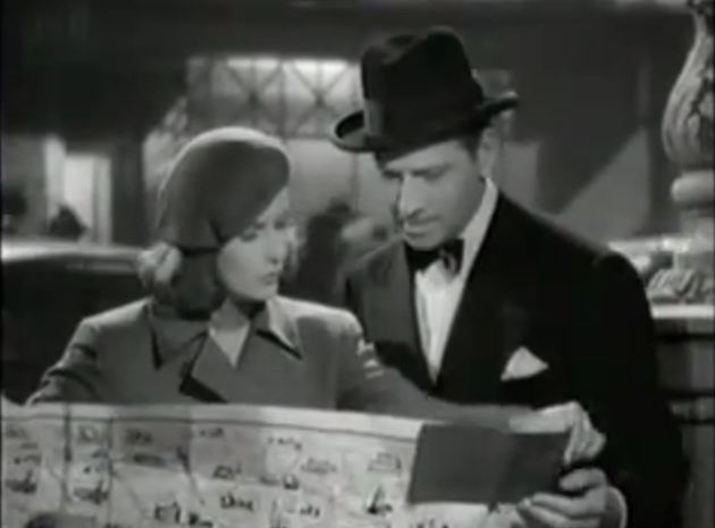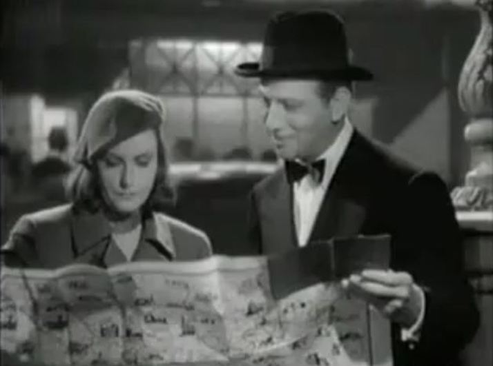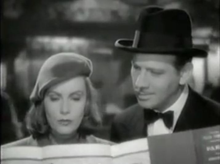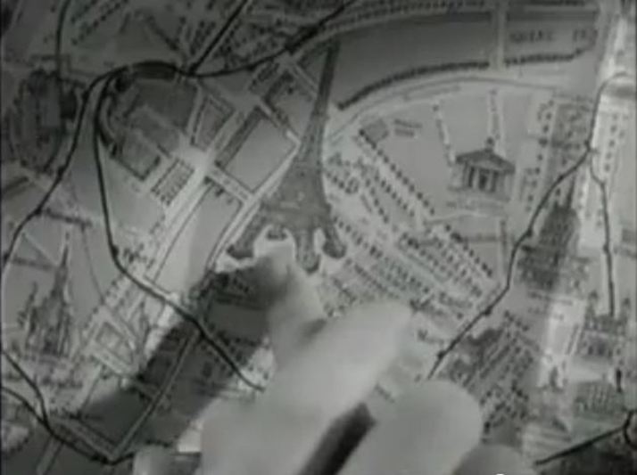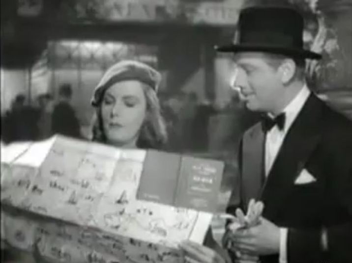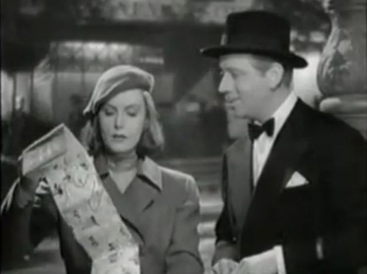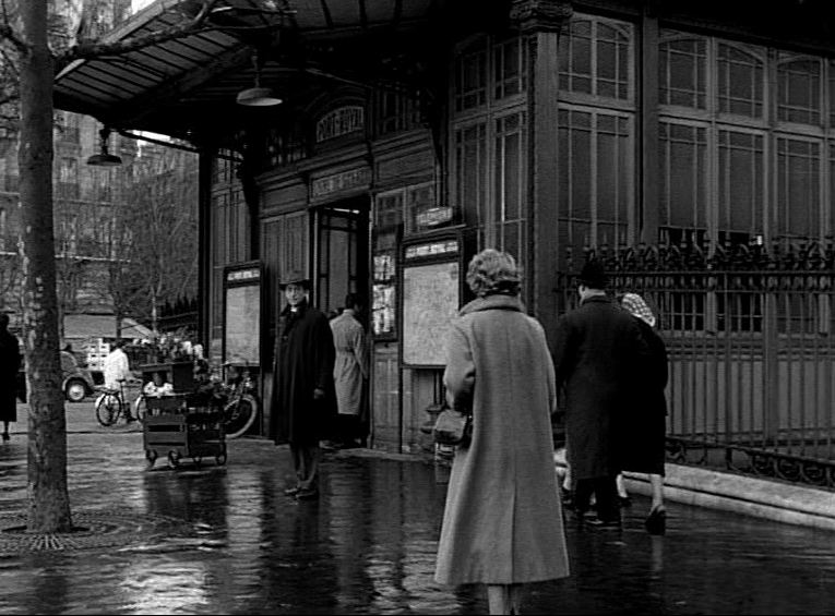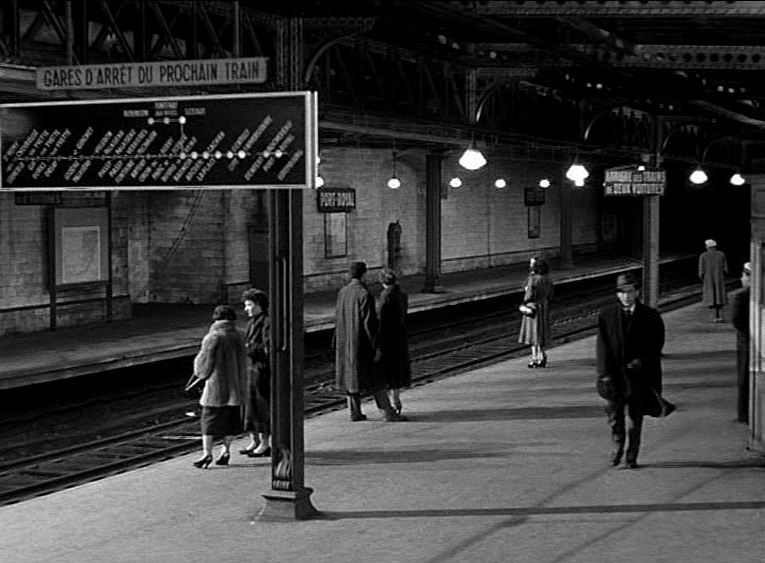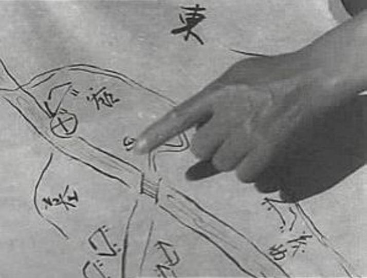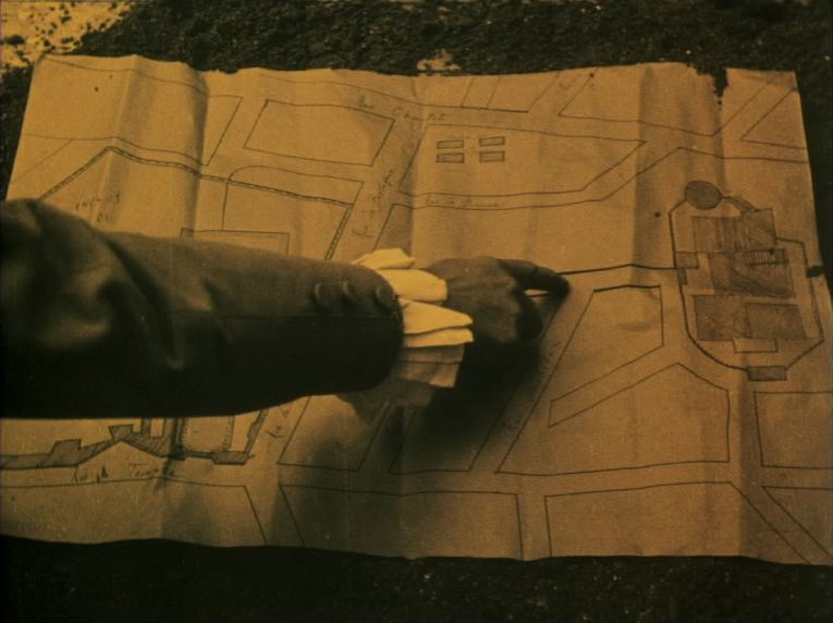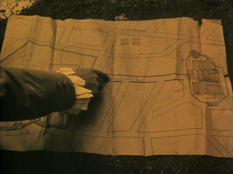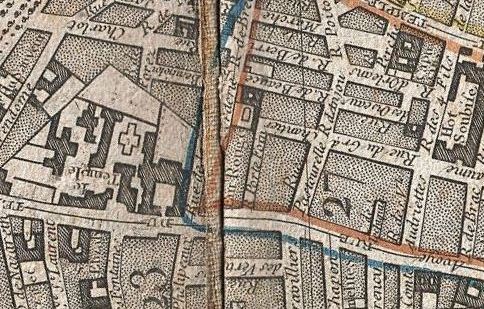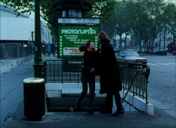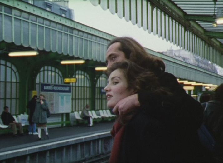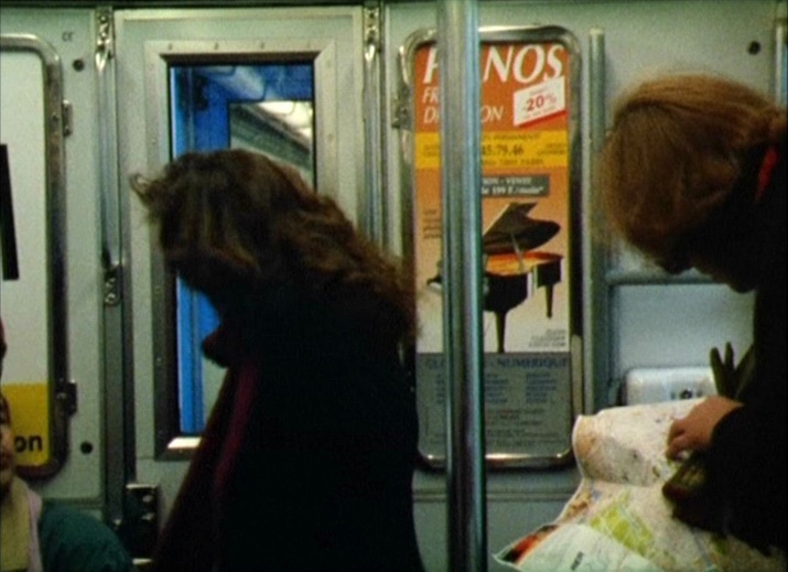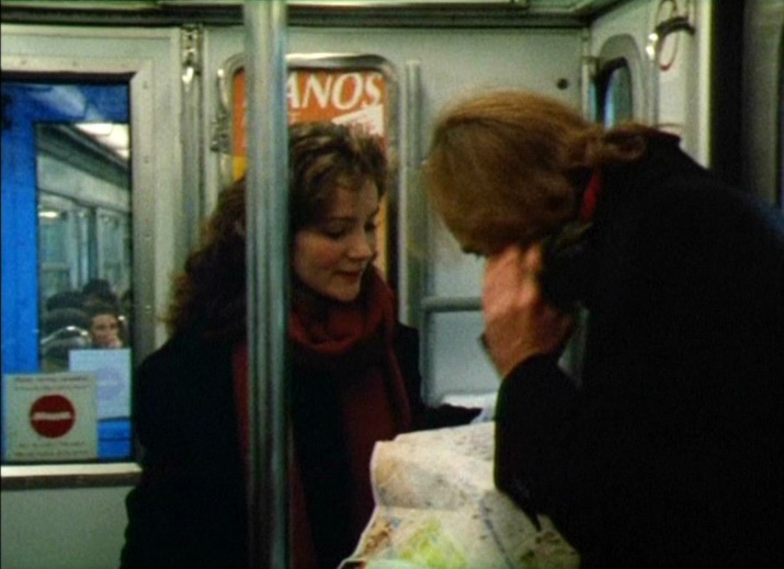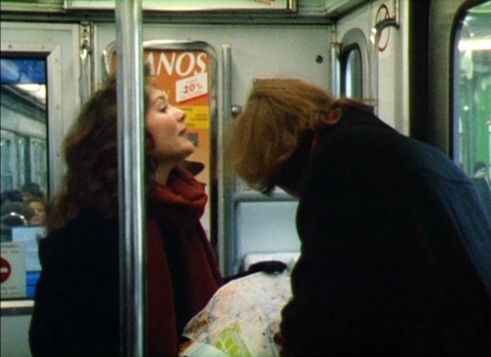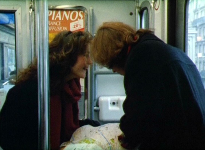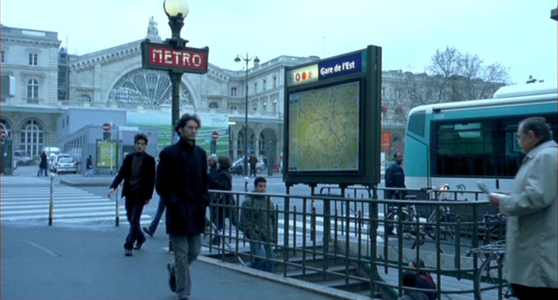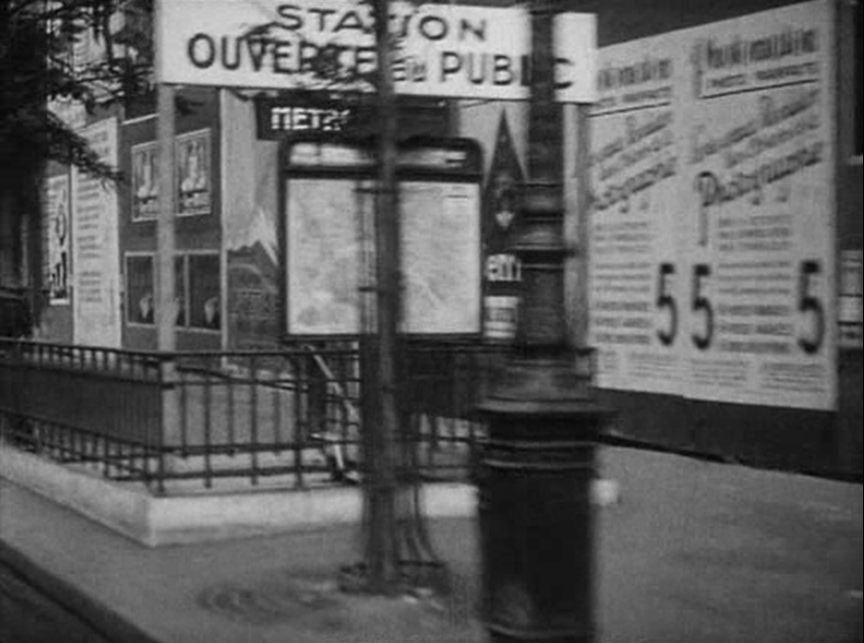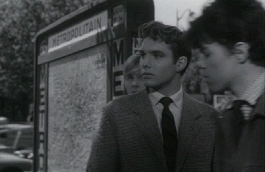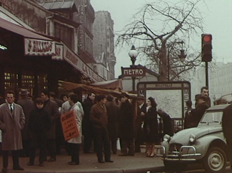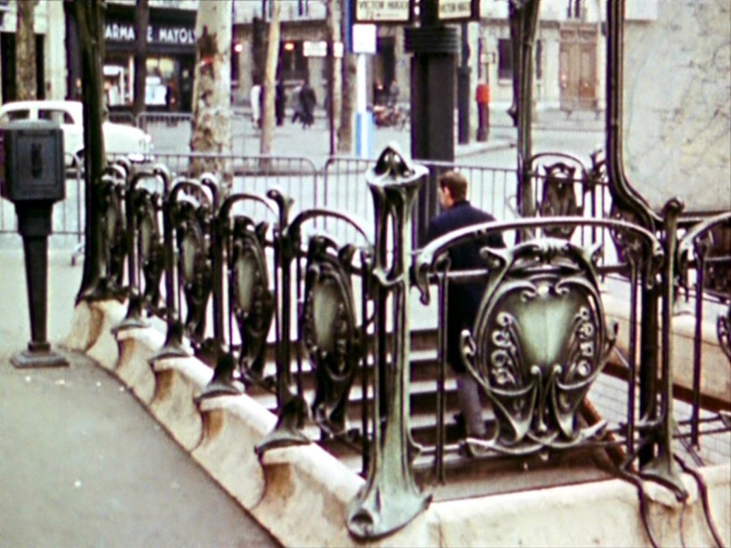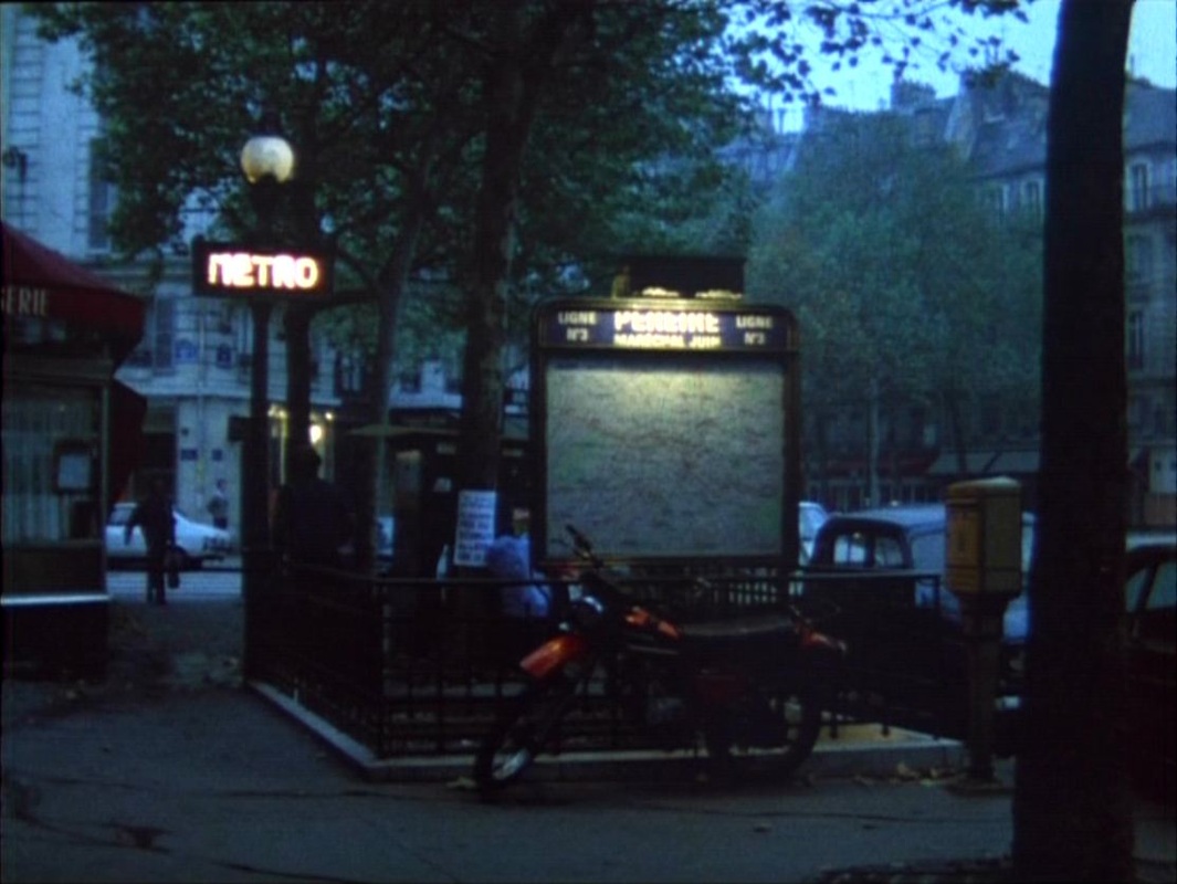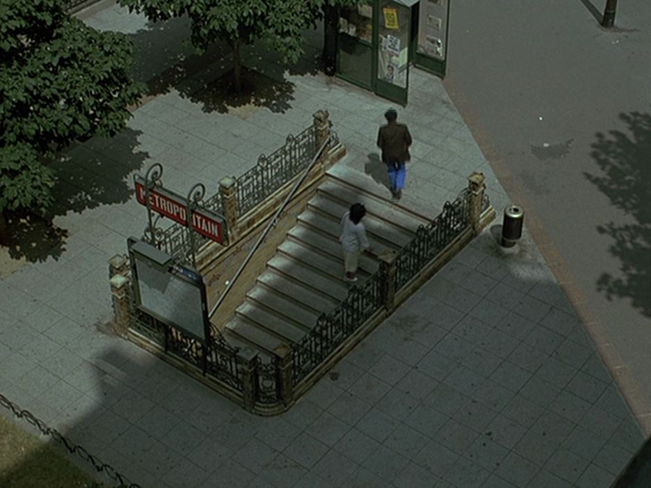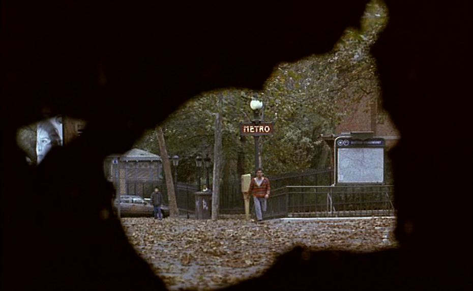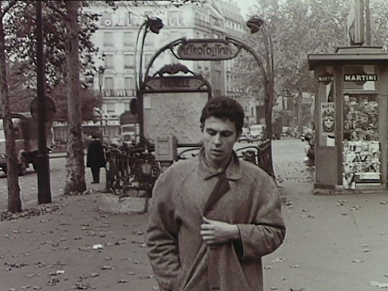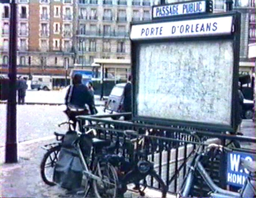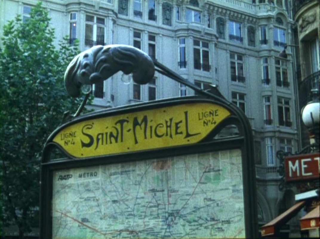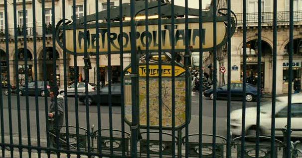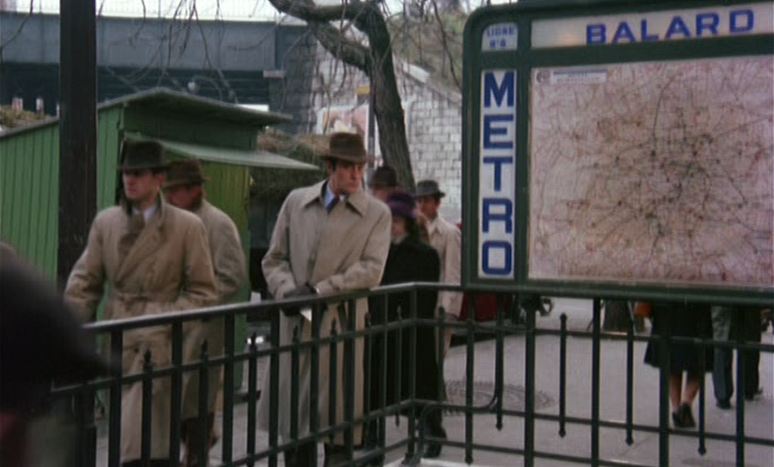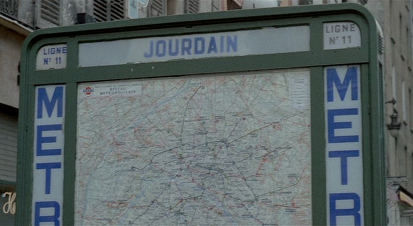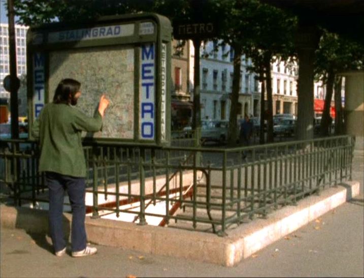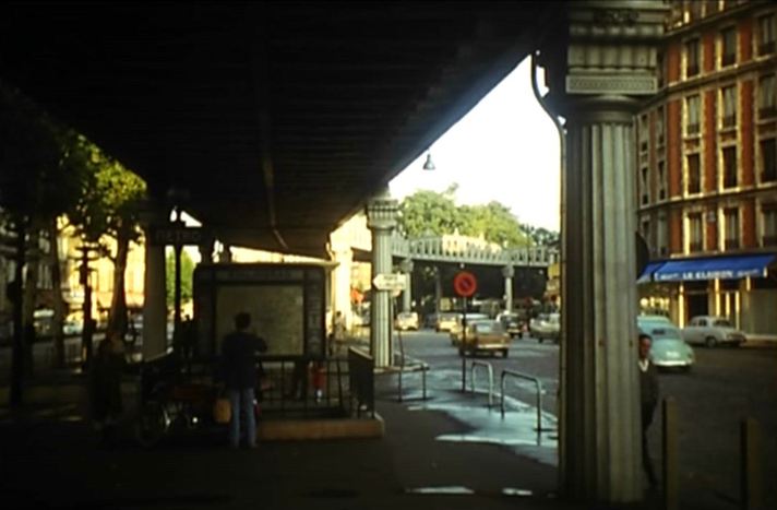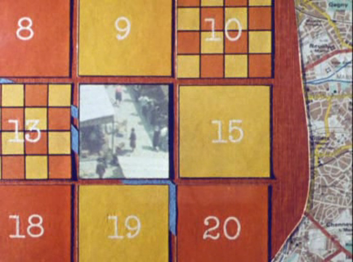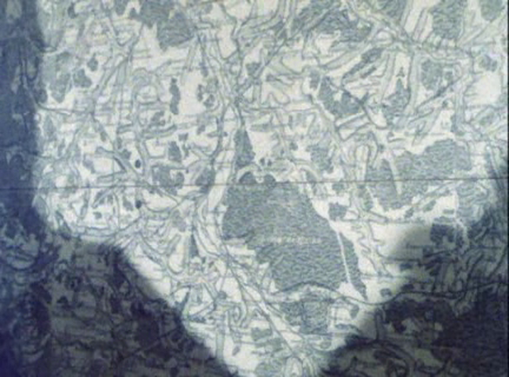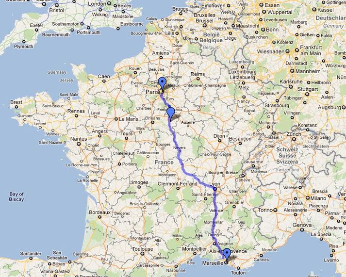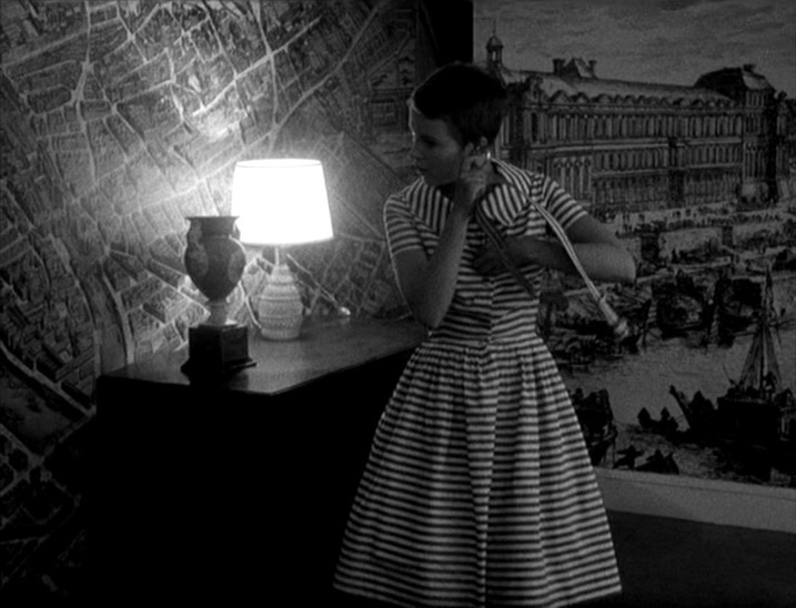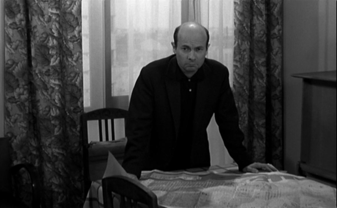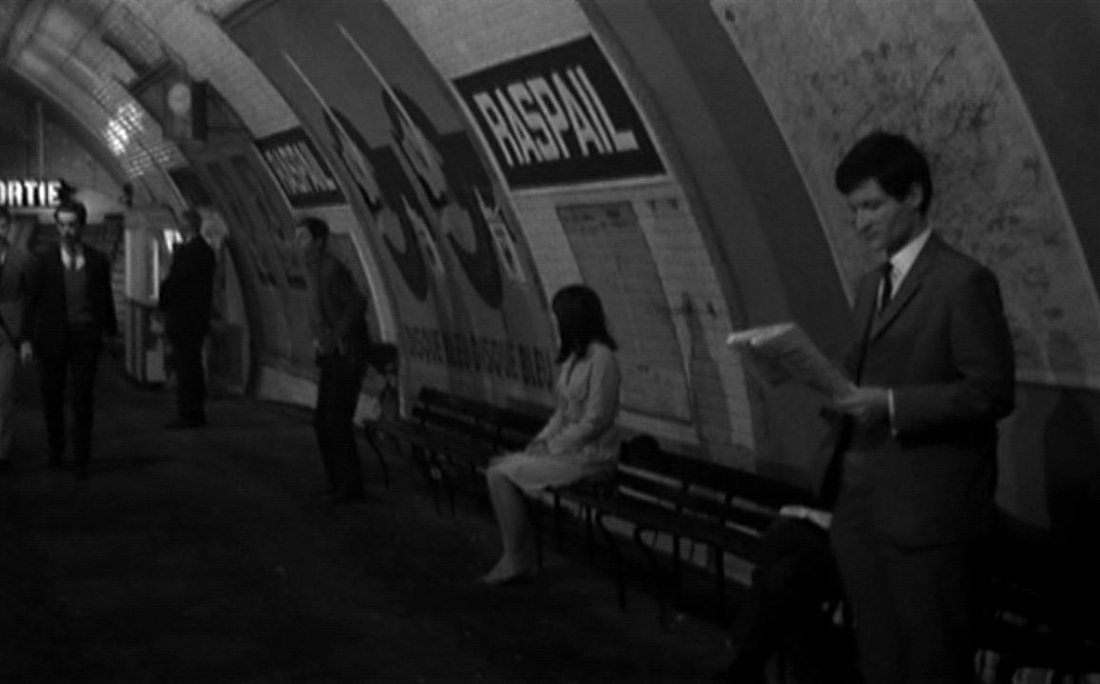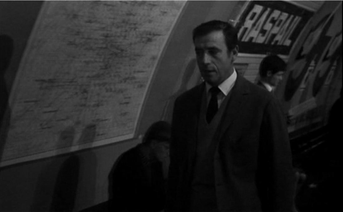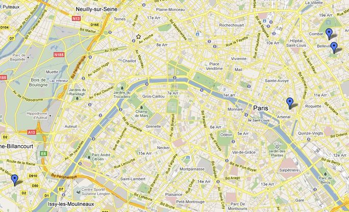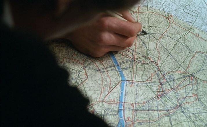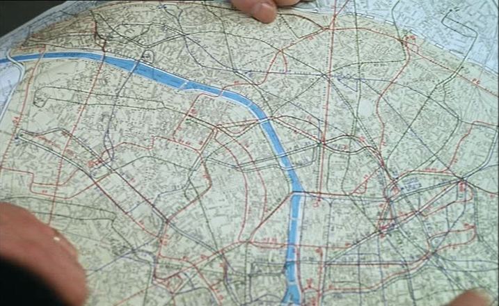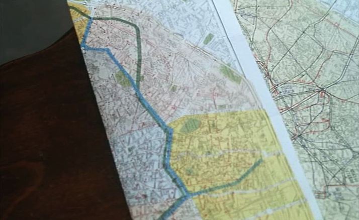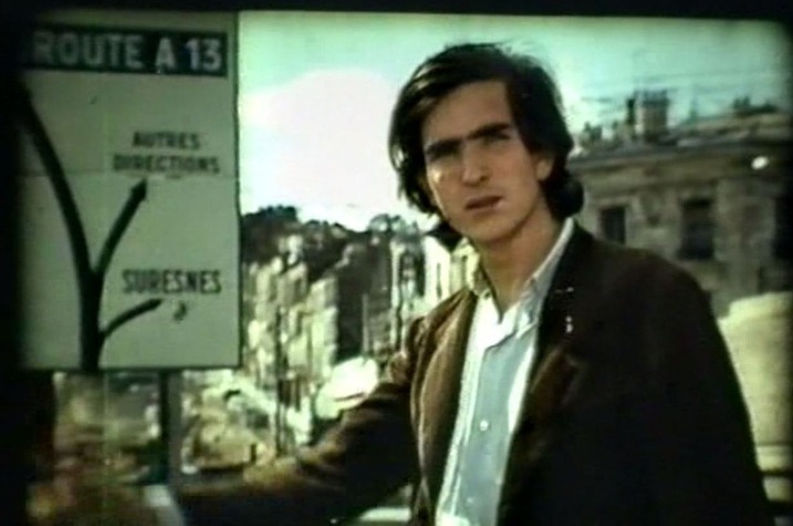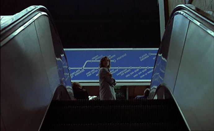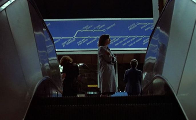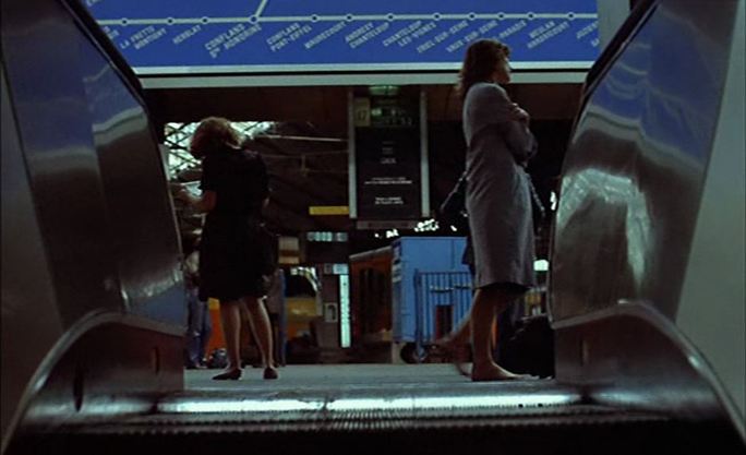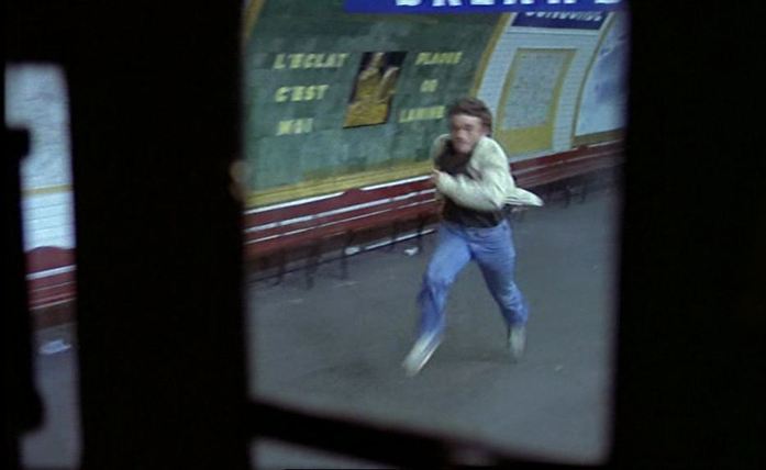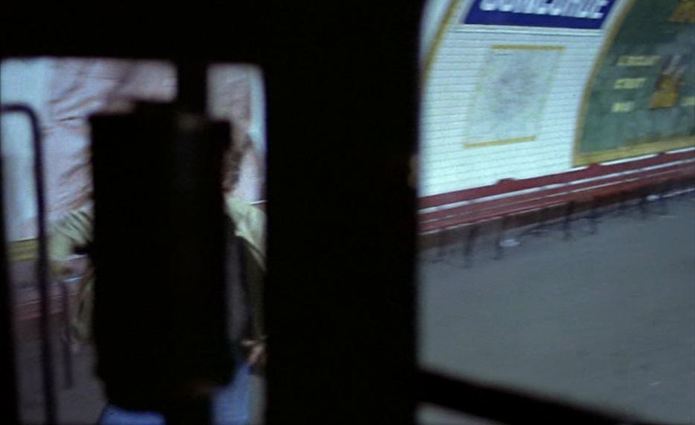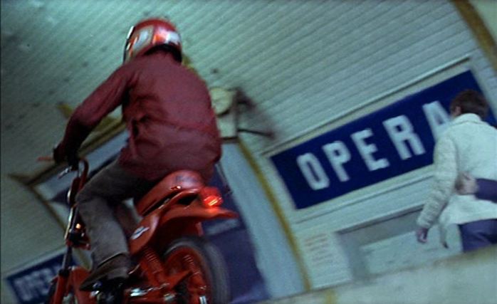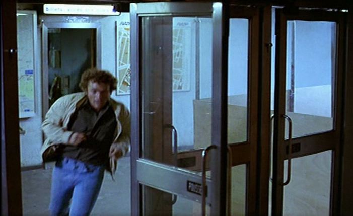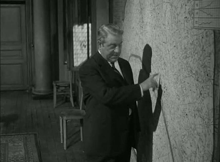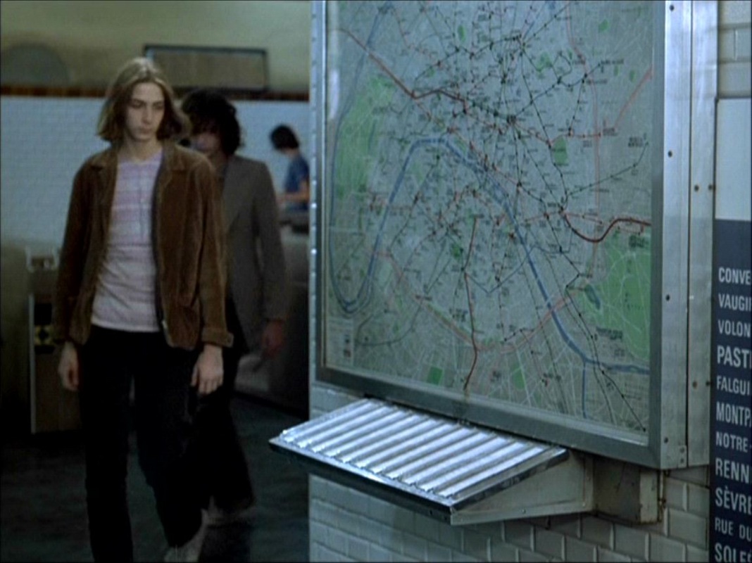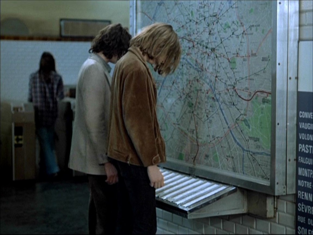
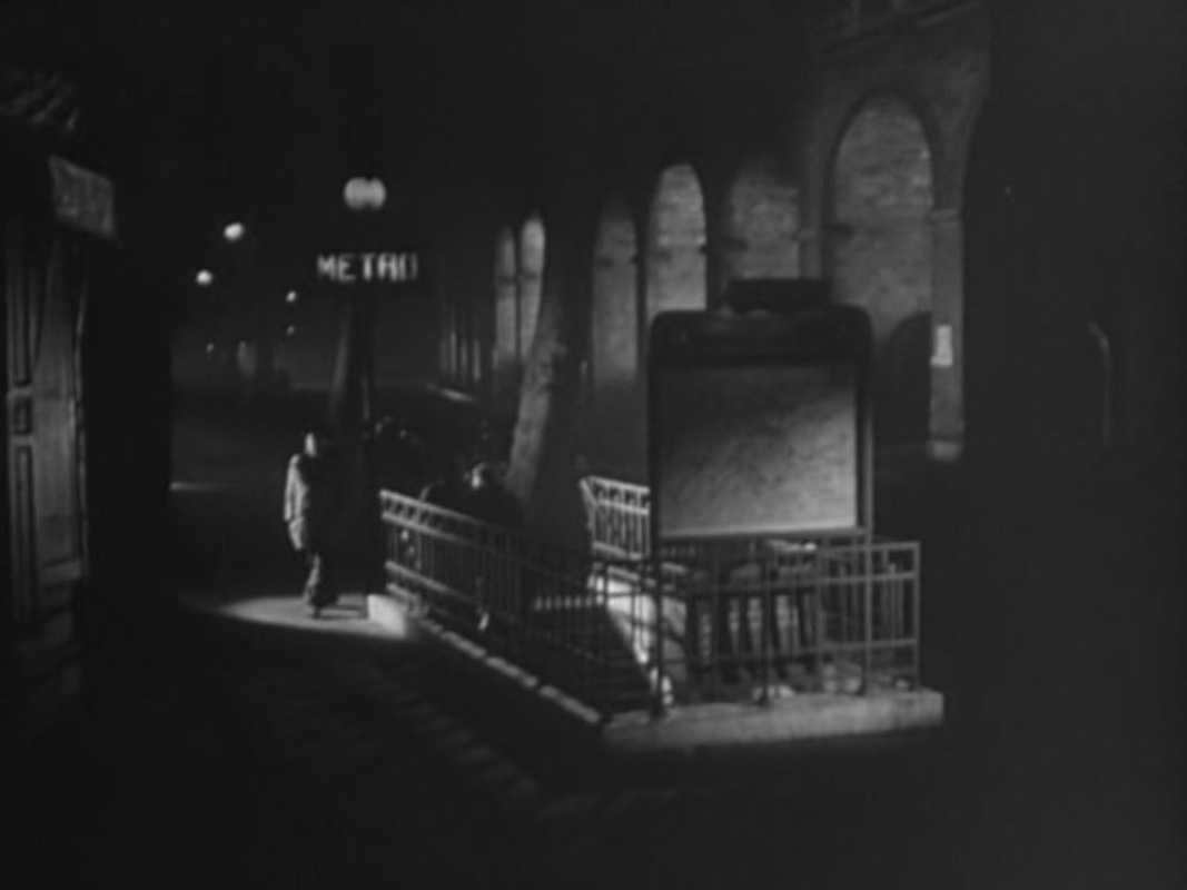
There are two métro maps in the film, one in a studio set, the other in the real streets of Paris.
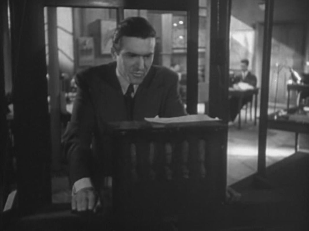
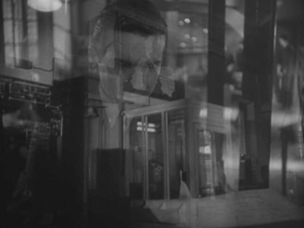
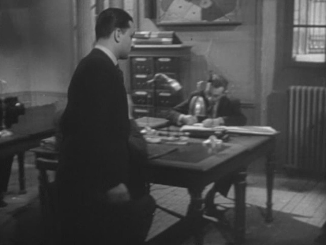
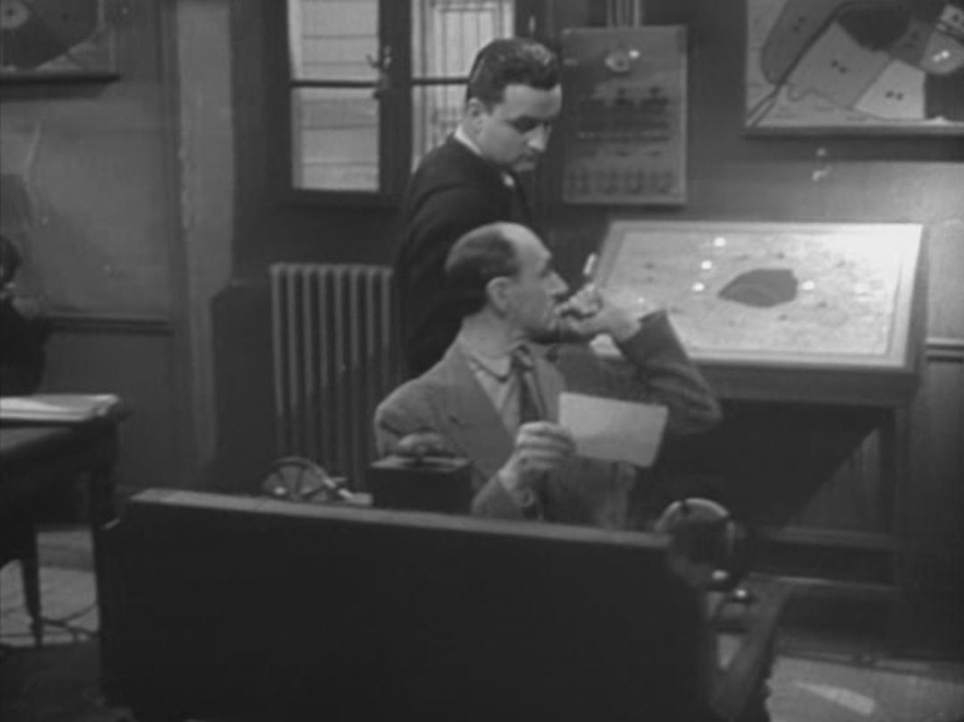
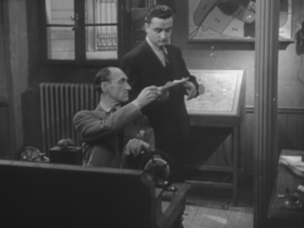
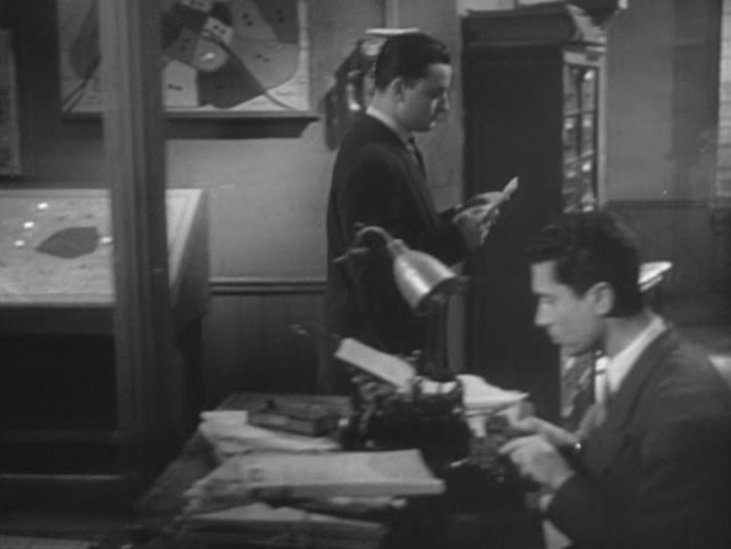
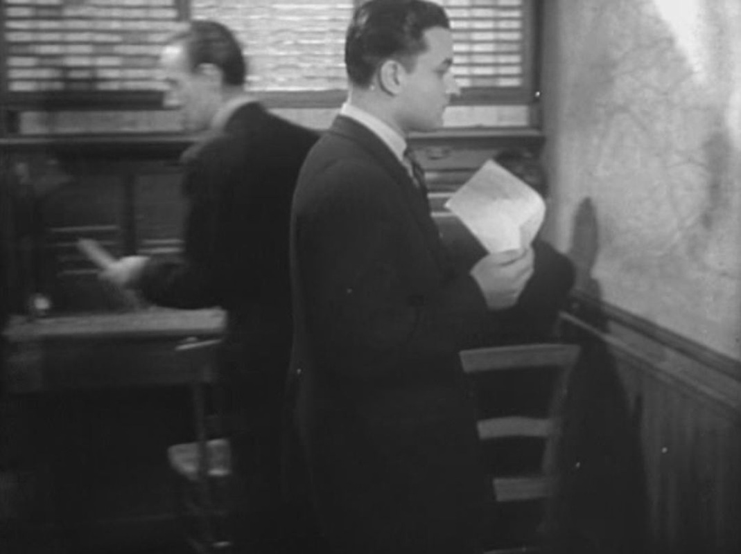
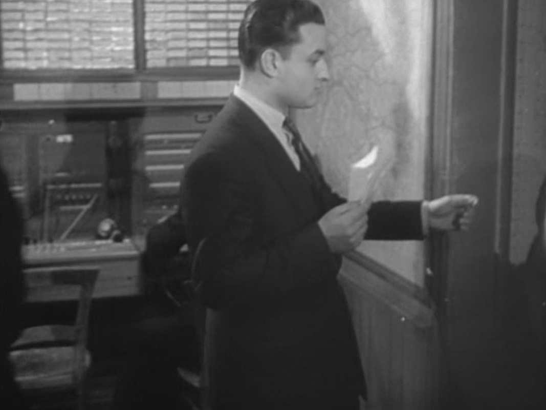
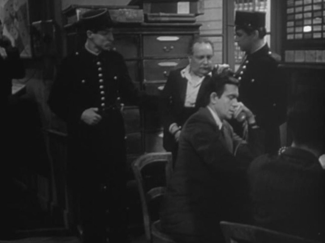
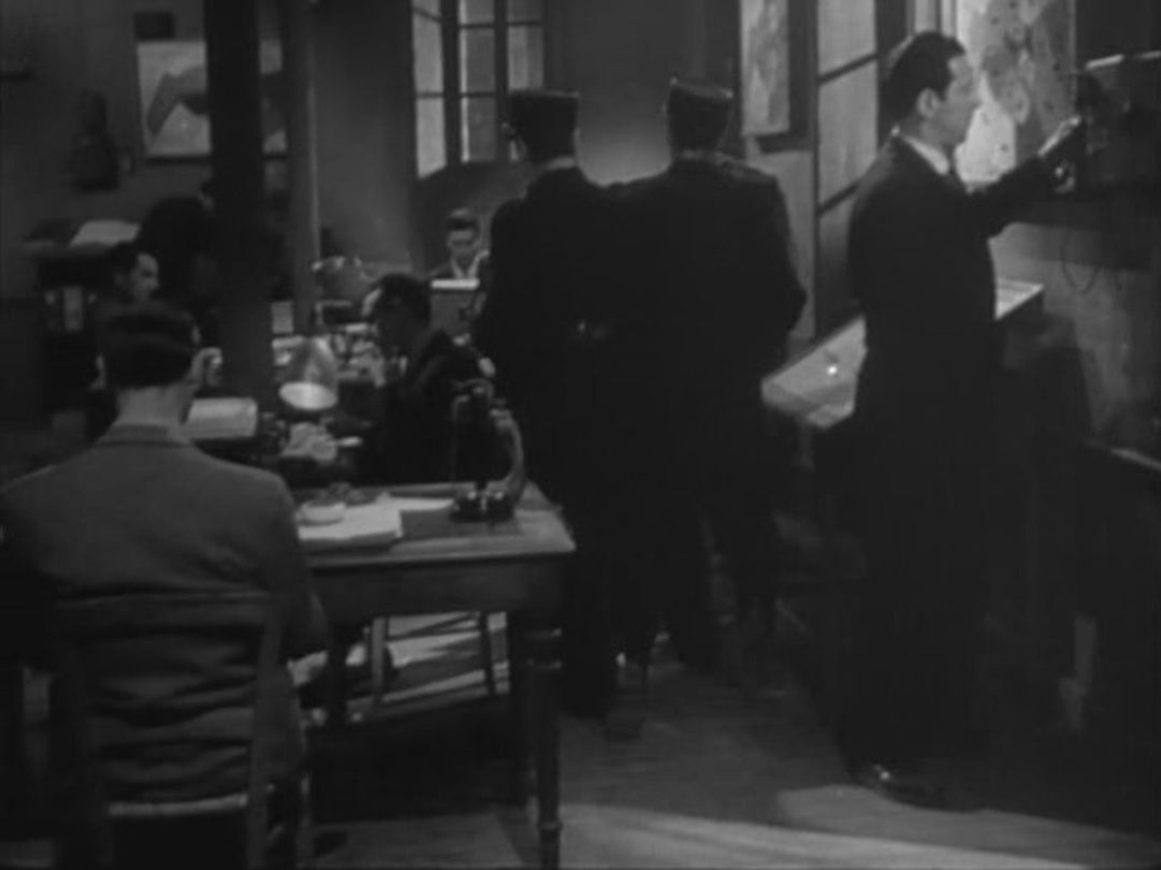
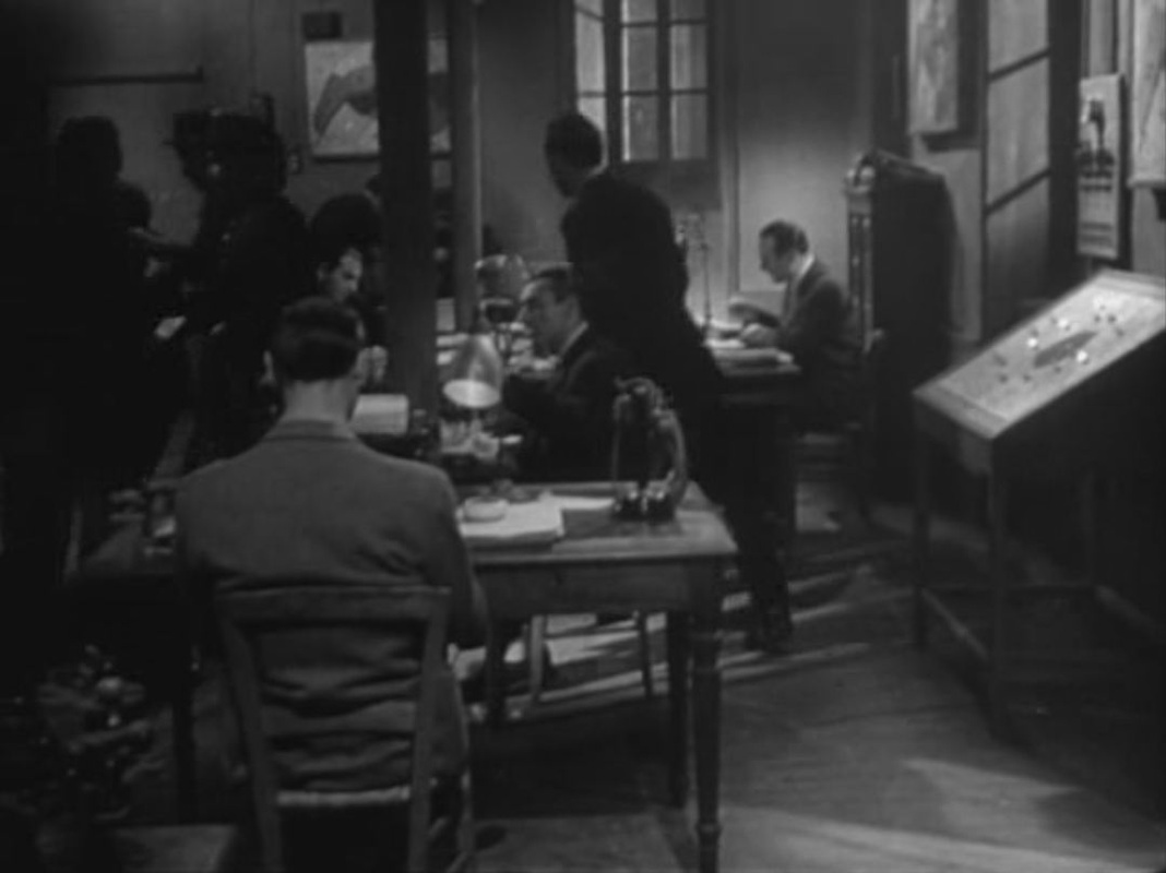
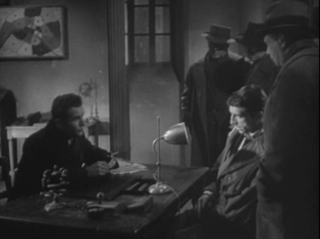
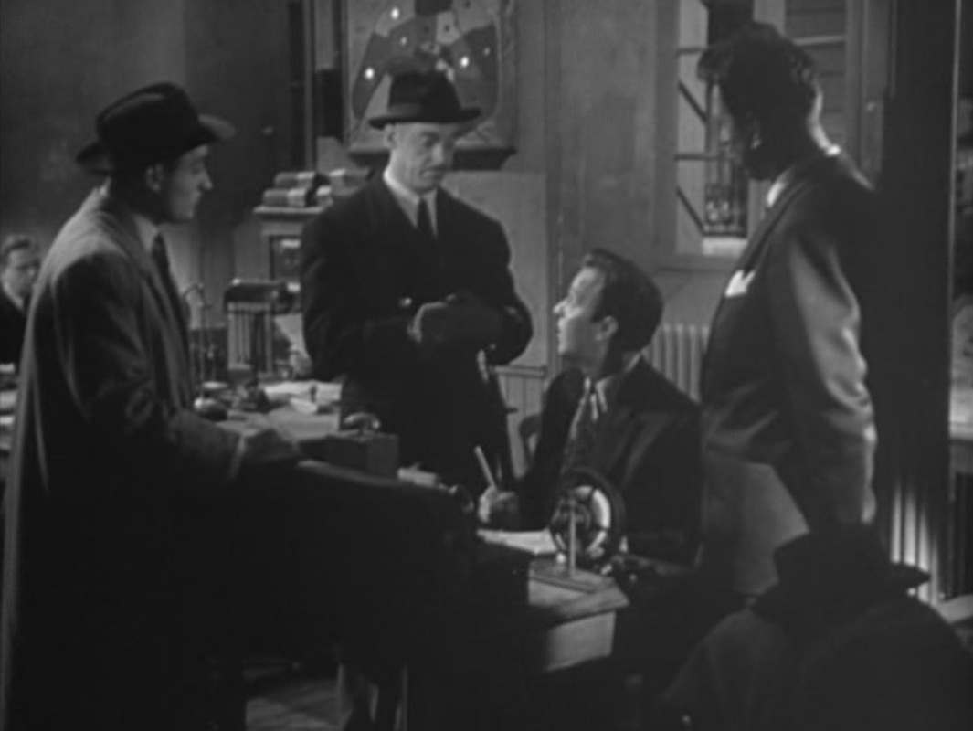
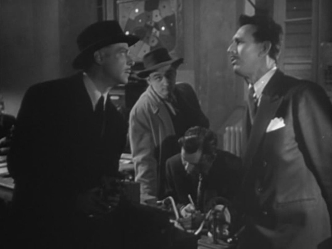
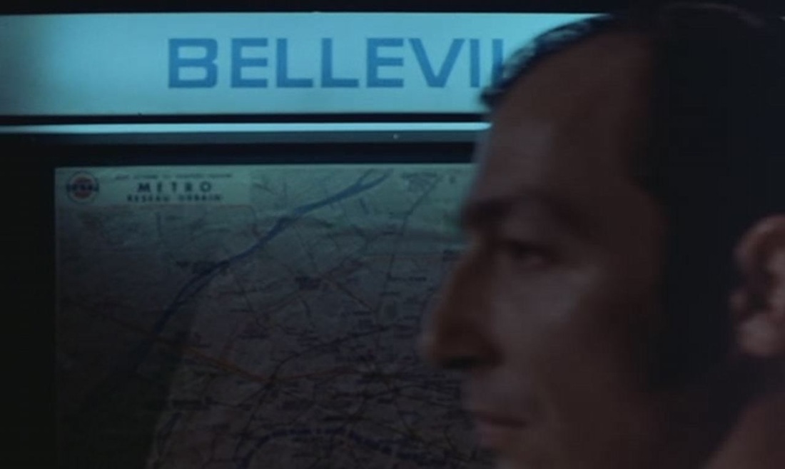
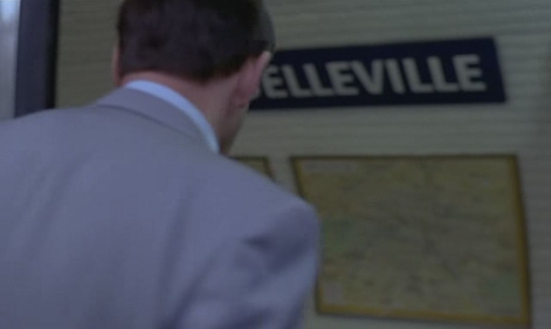
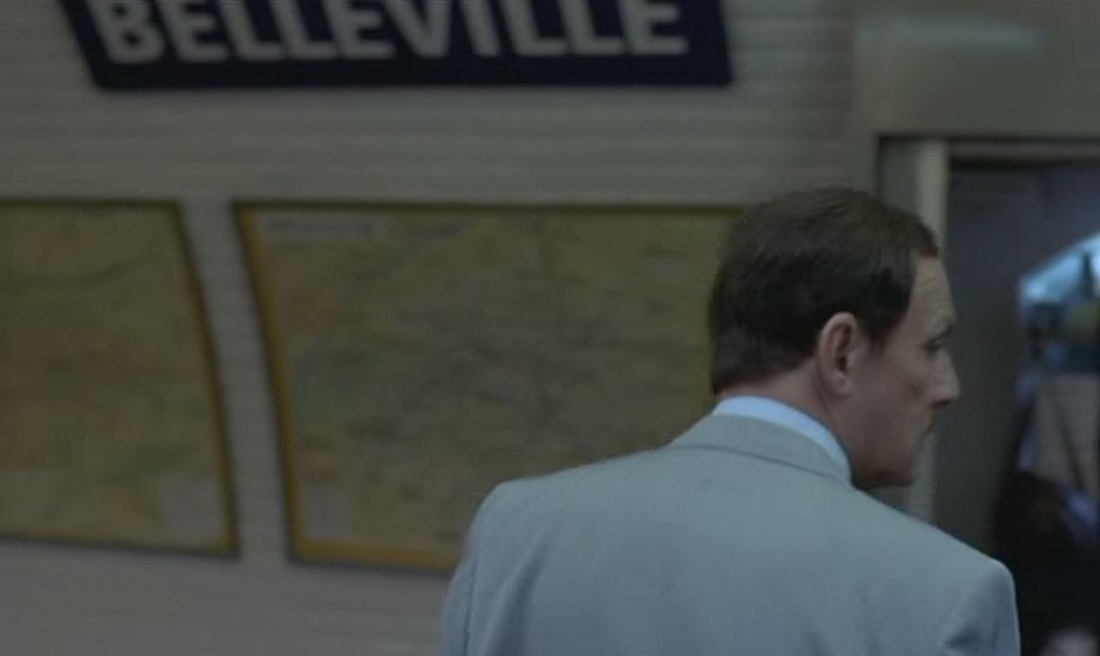
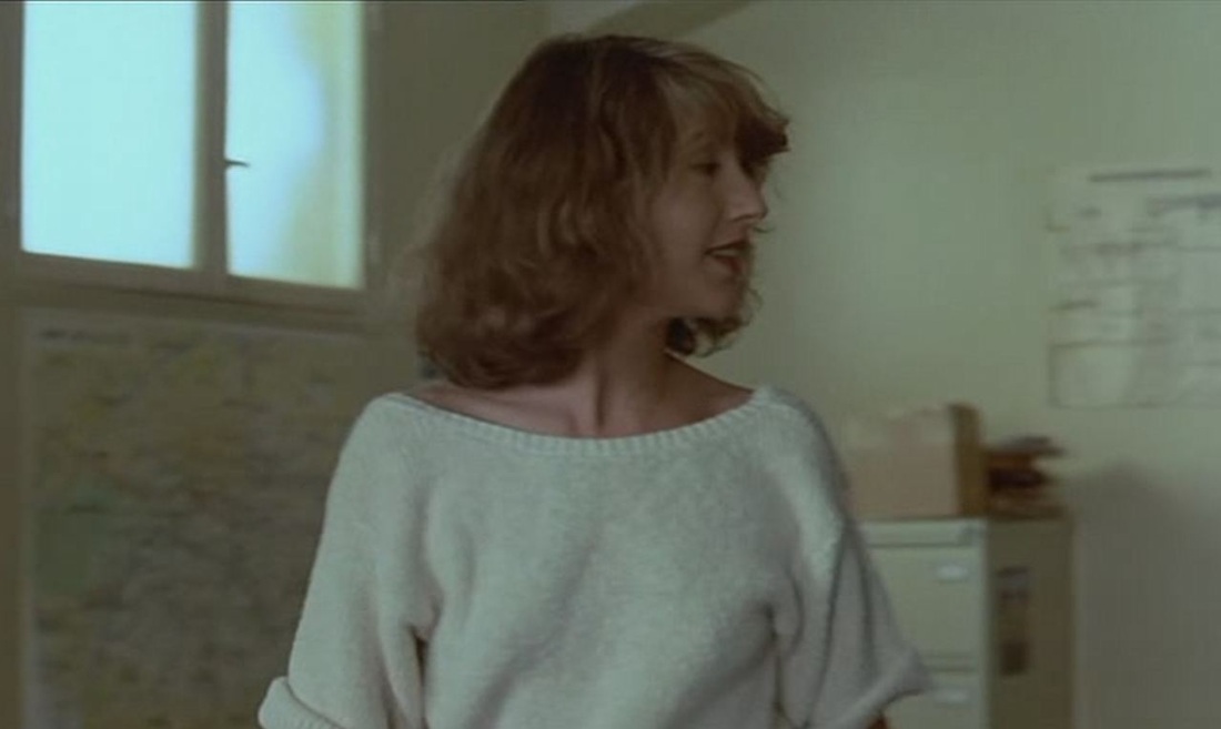
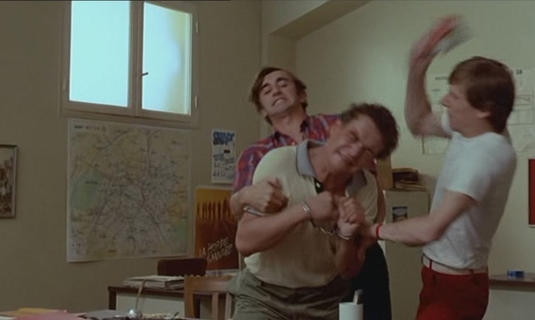
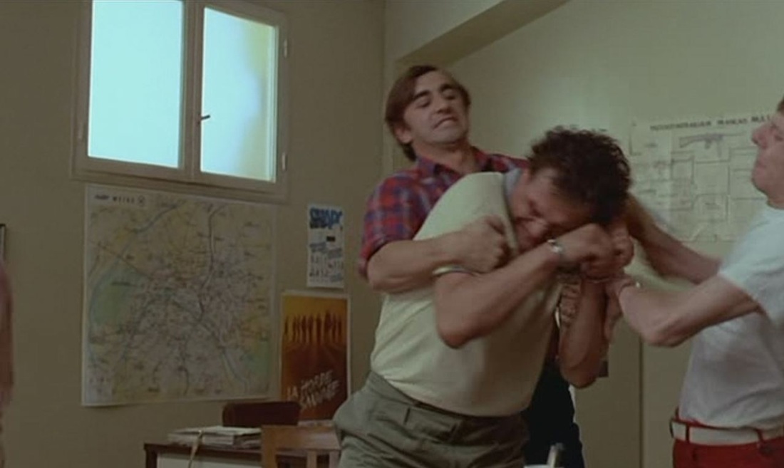
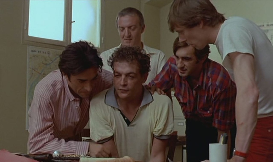
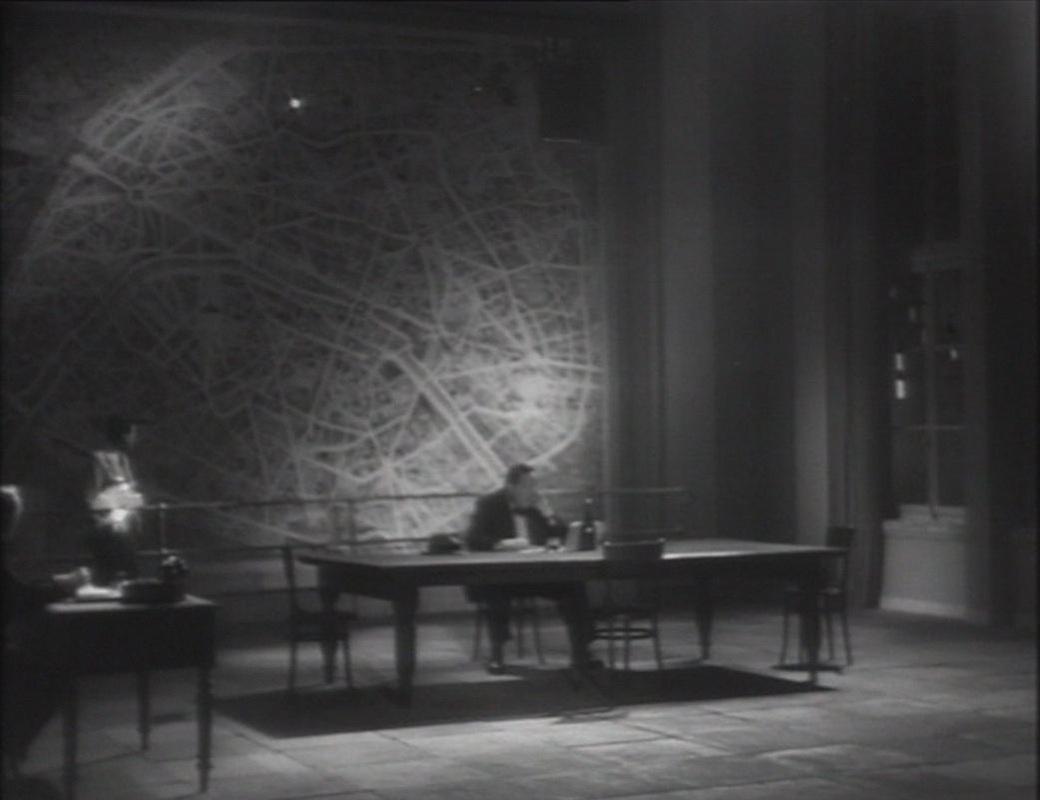
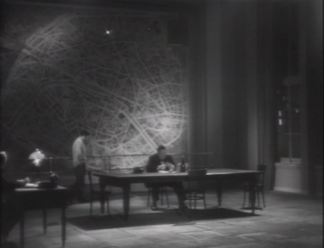
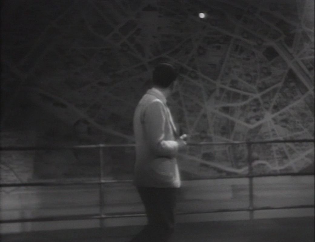
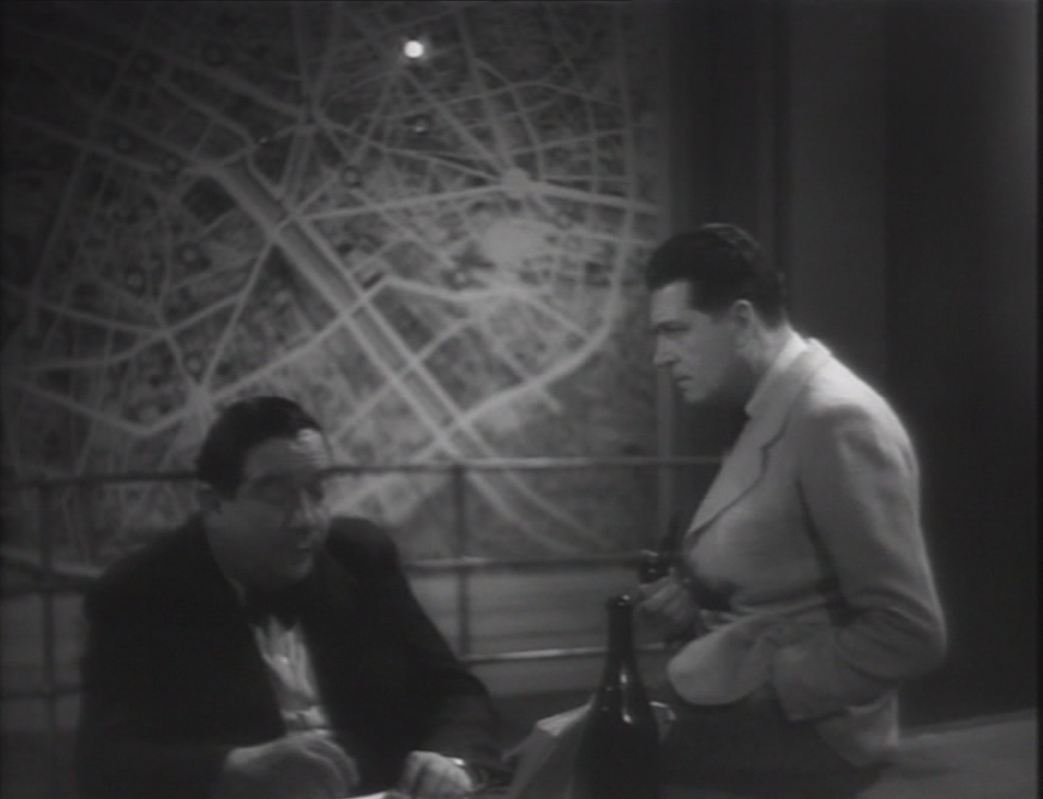
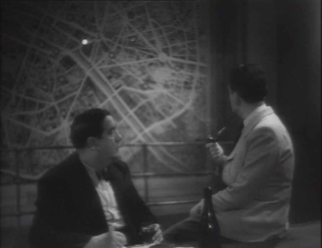
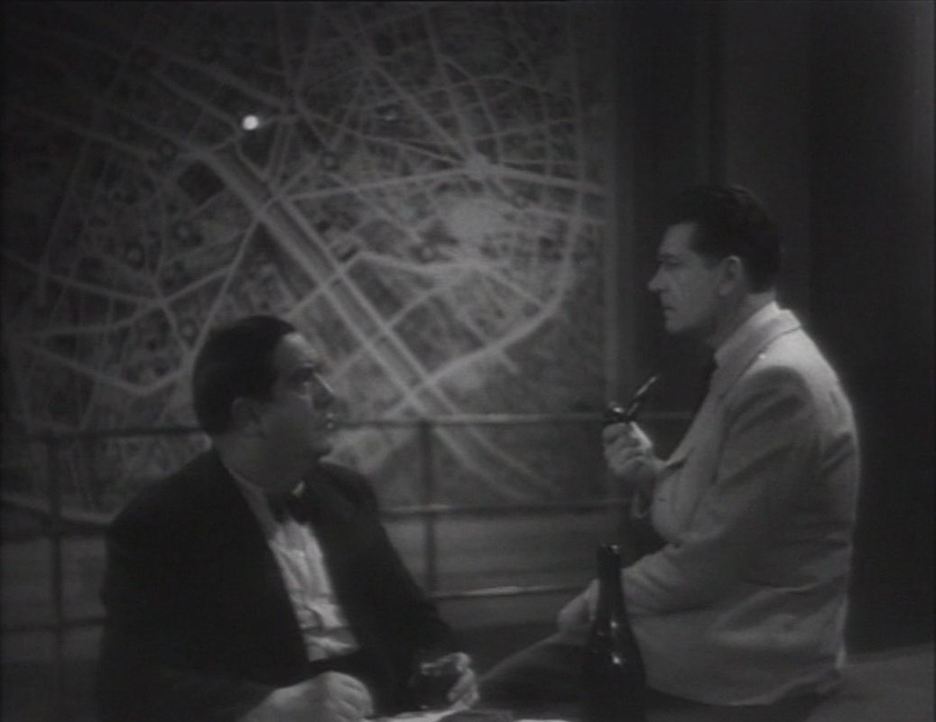
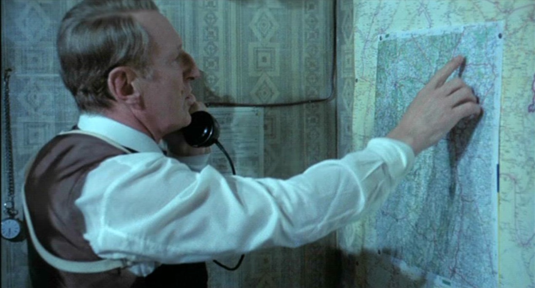
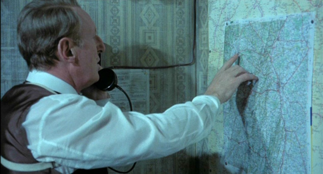
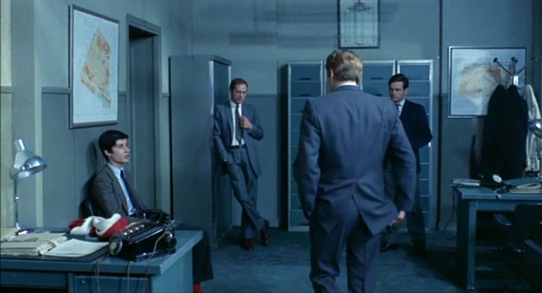
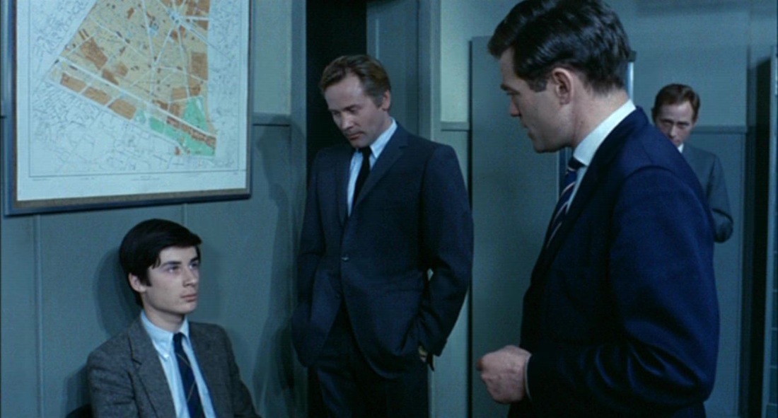
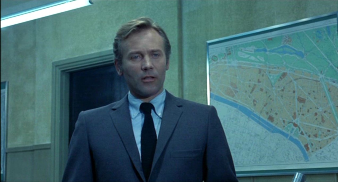
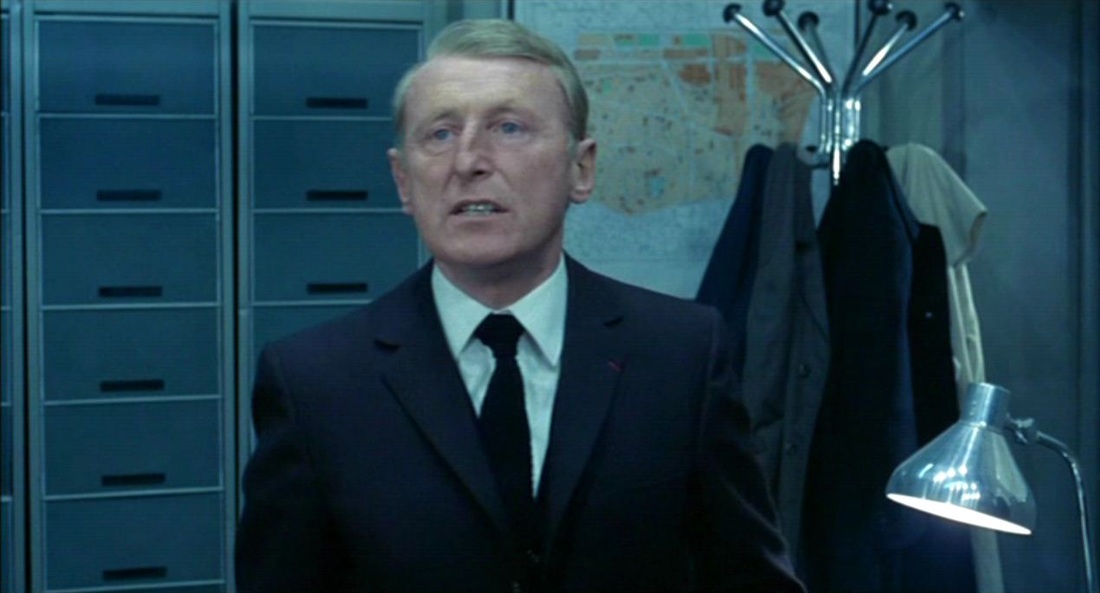
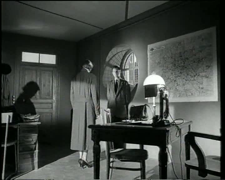
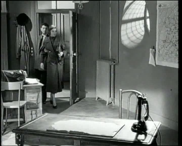
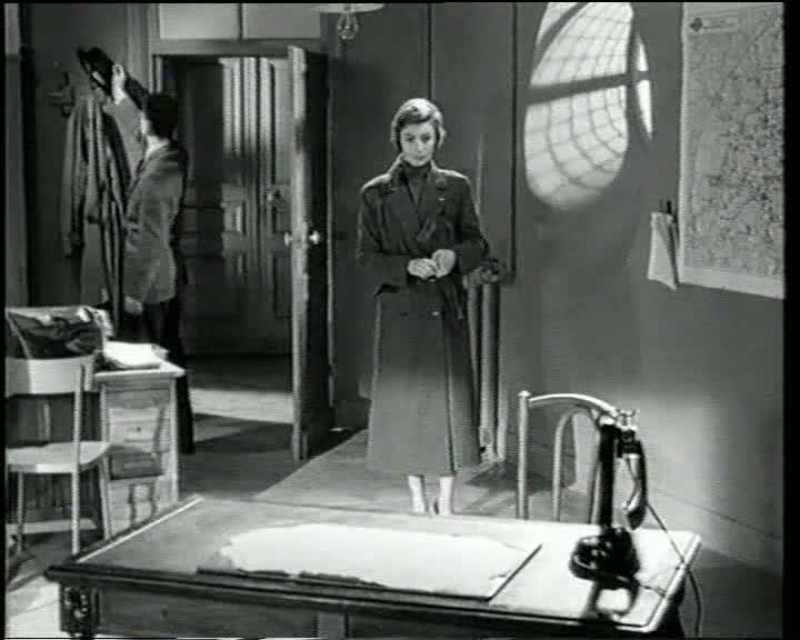
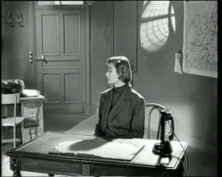
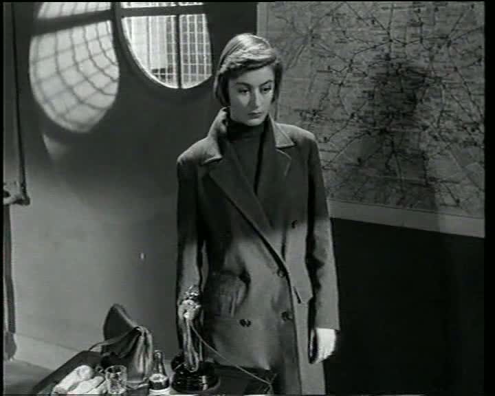
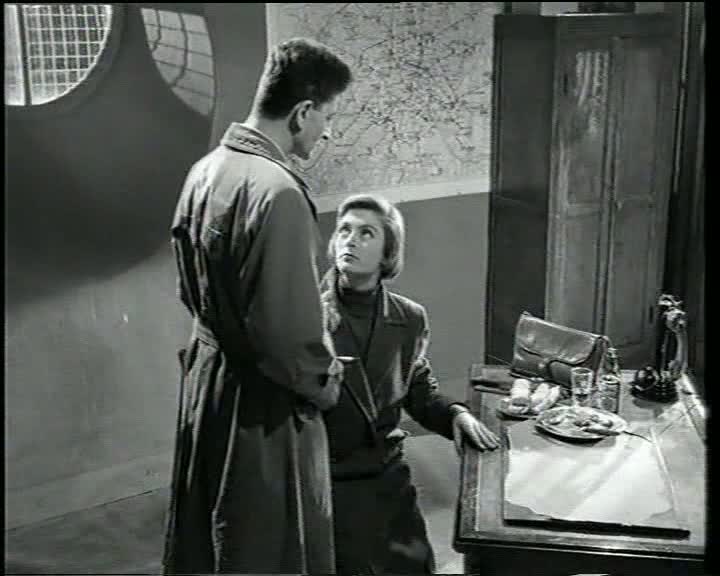
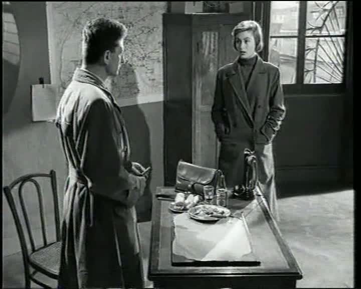
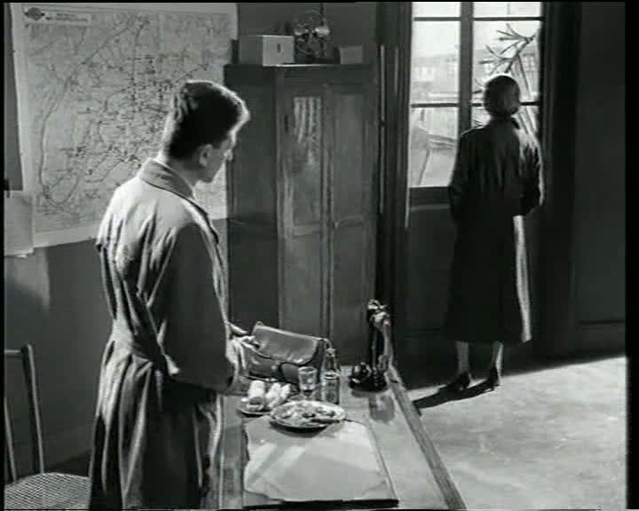
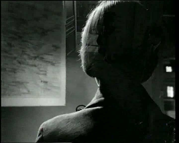
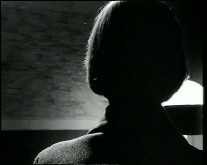
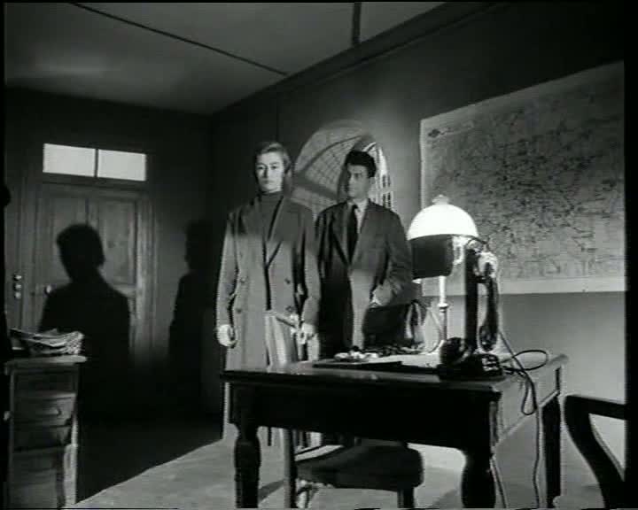
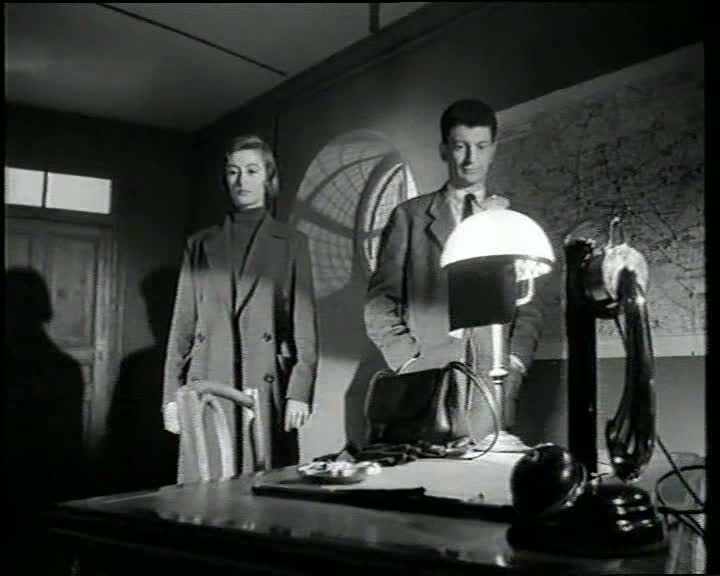
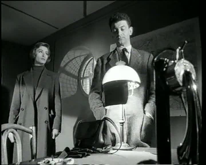
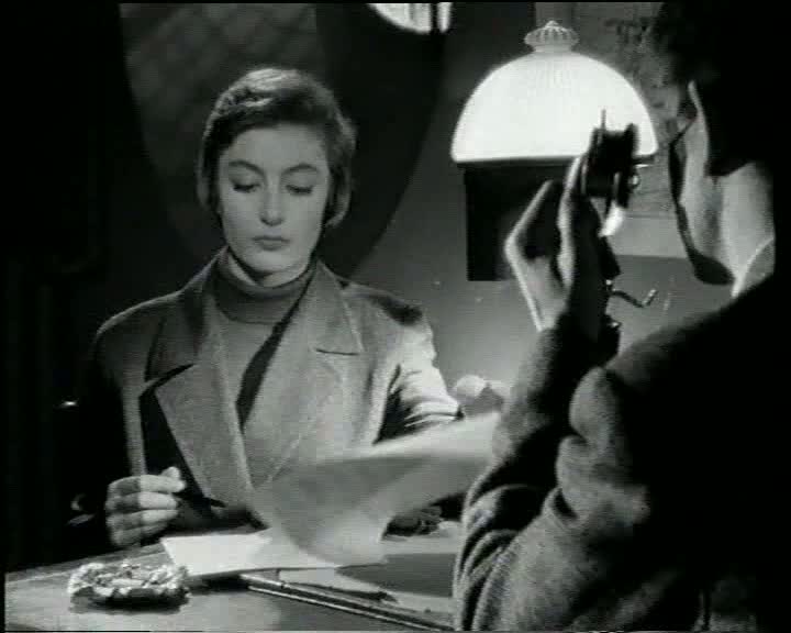
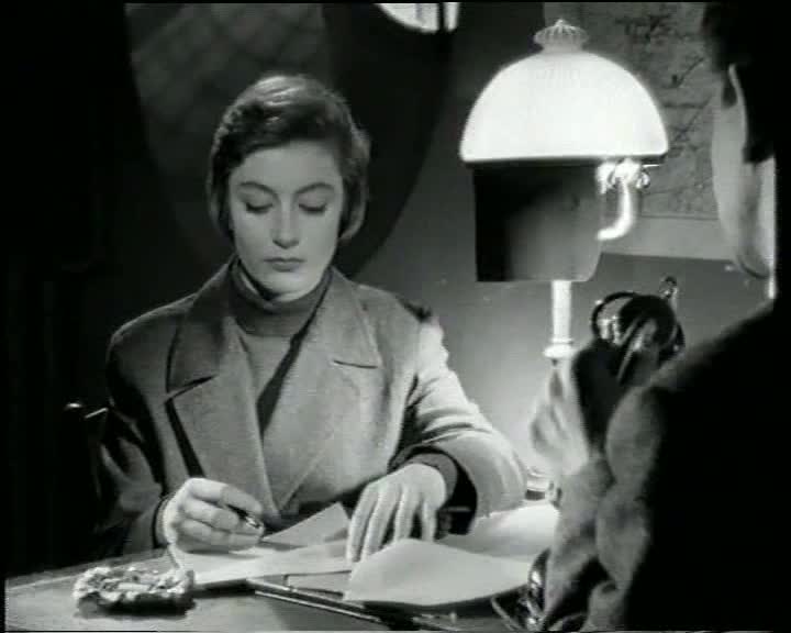
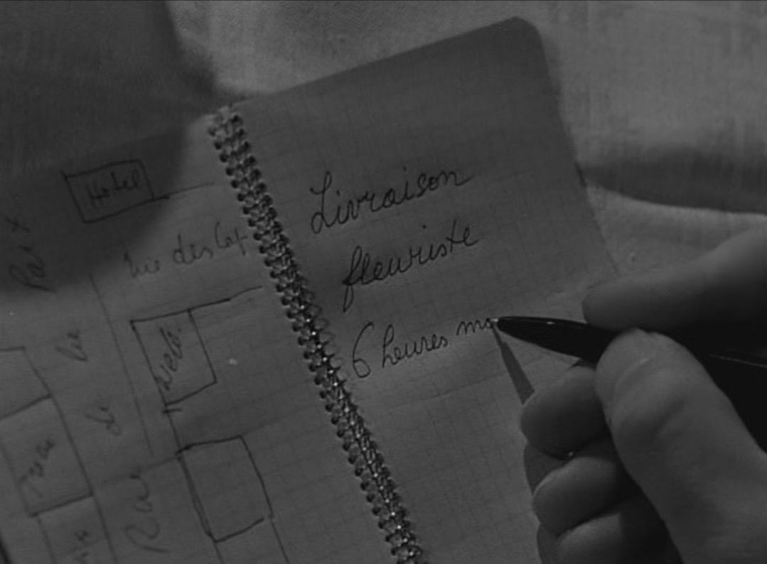
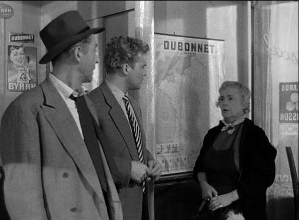
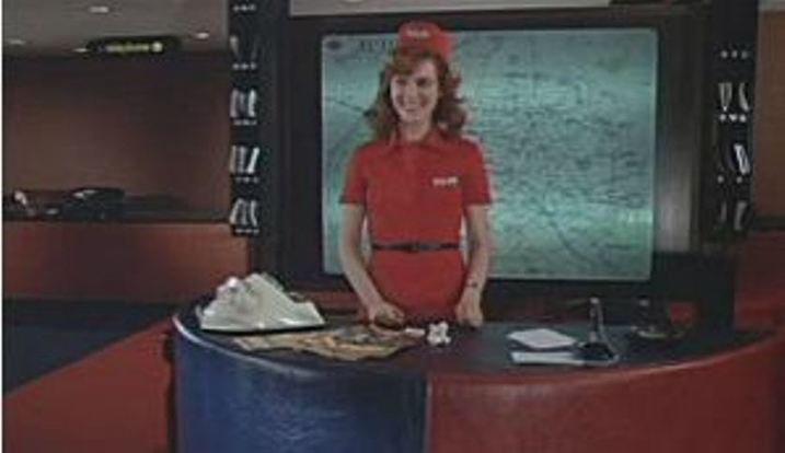
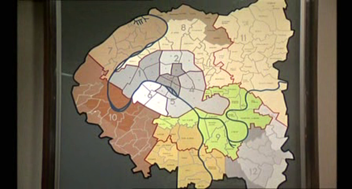
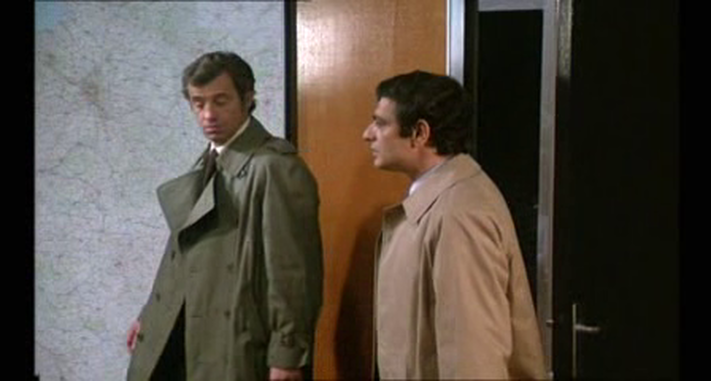
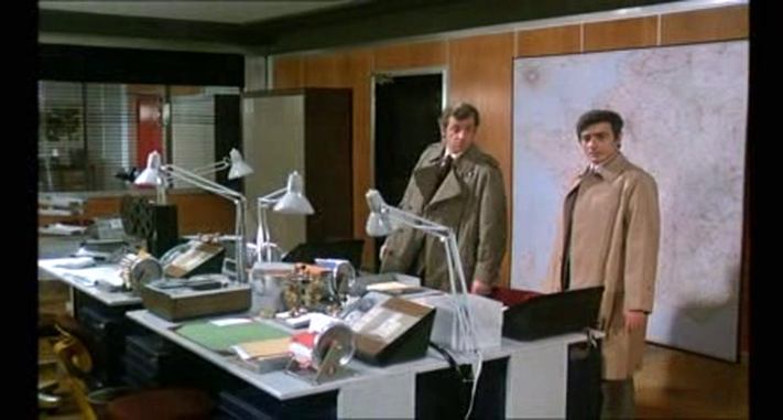
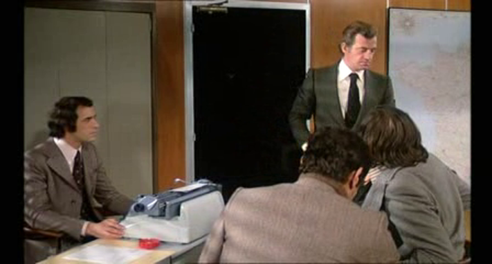
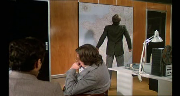
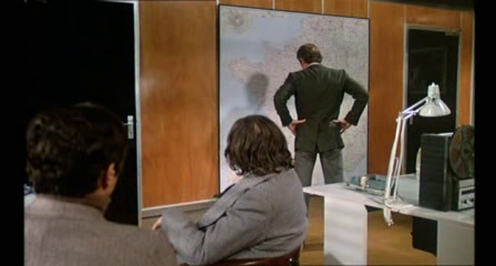
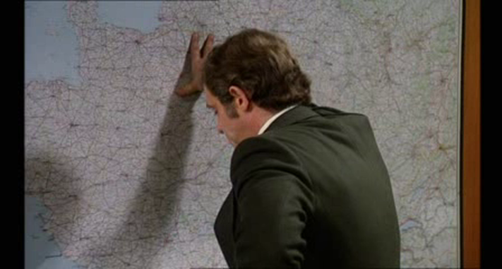
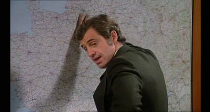
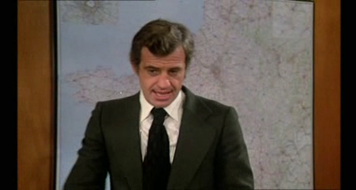
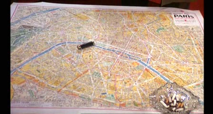
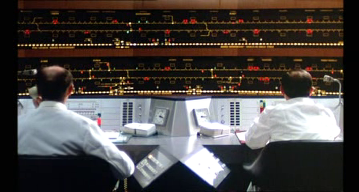
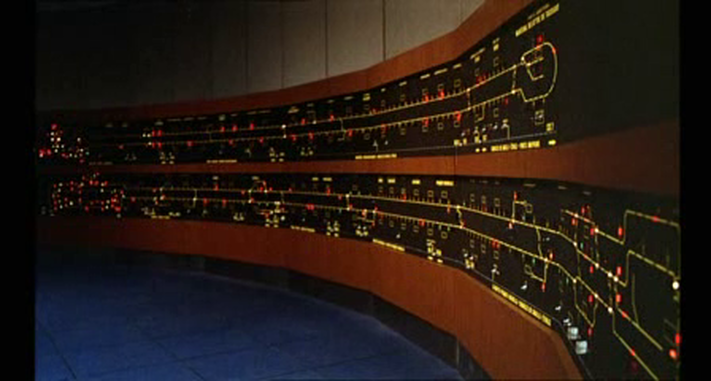
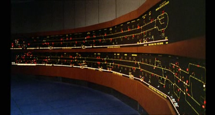
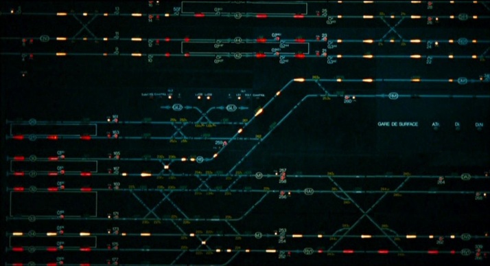
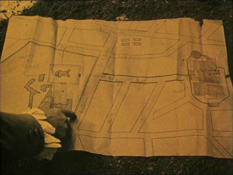
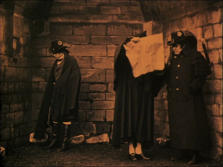
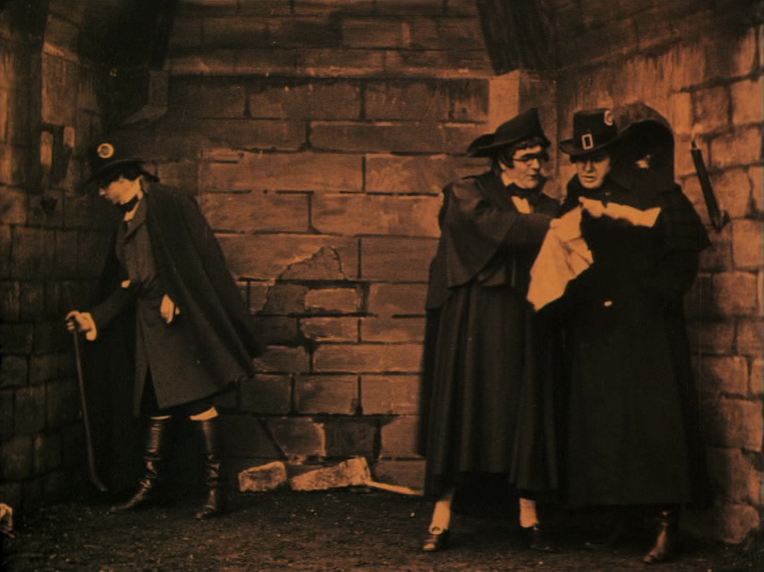
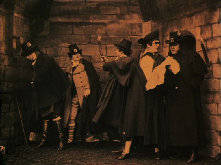
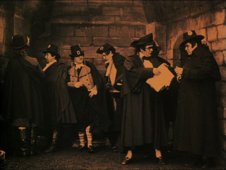
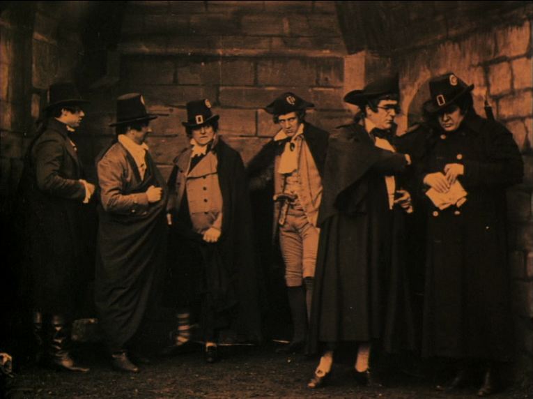
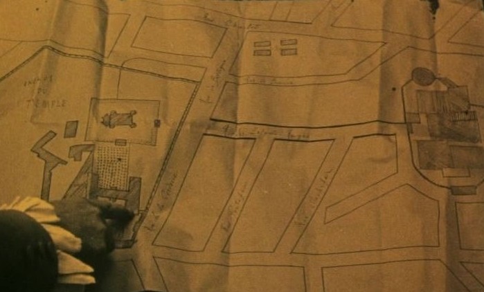
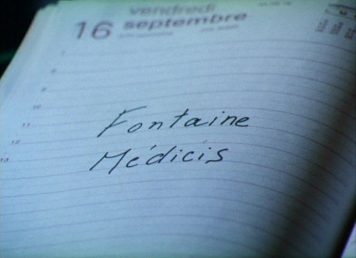
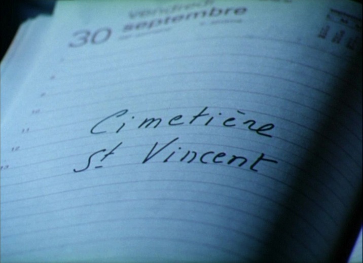
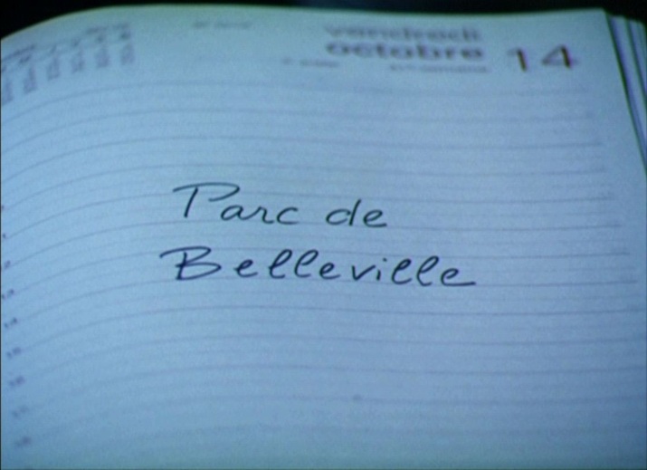
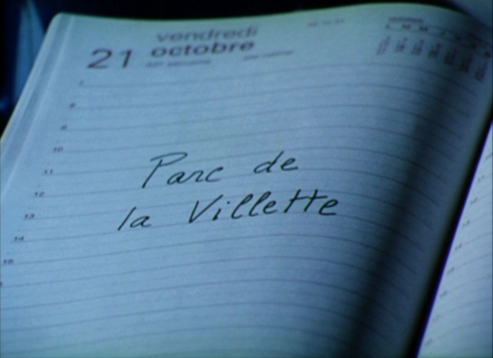
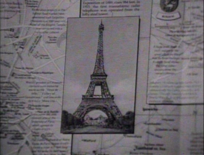
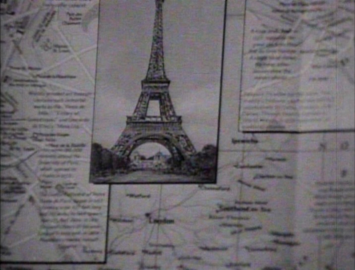
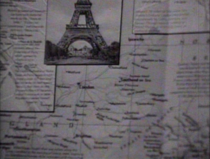
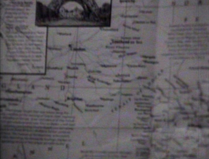
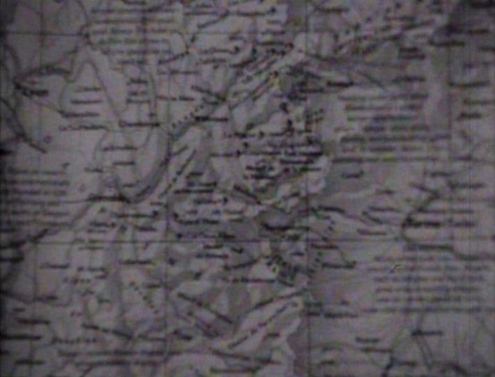
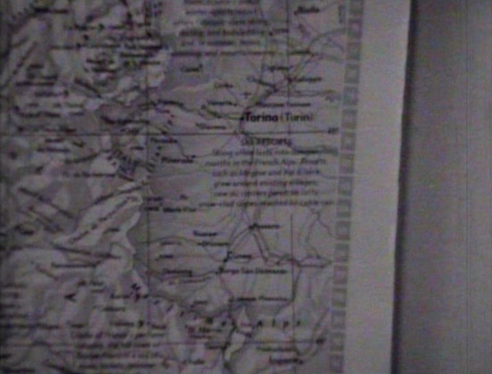
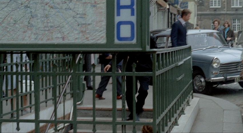
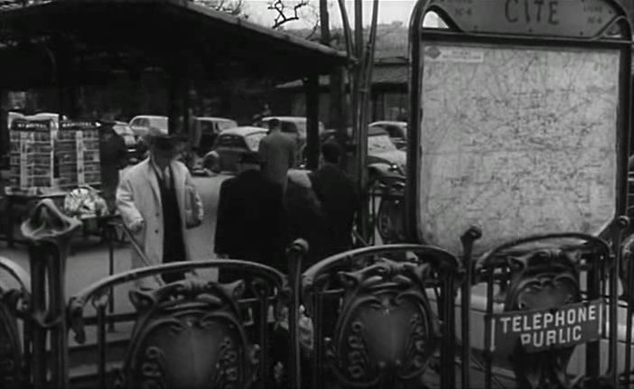
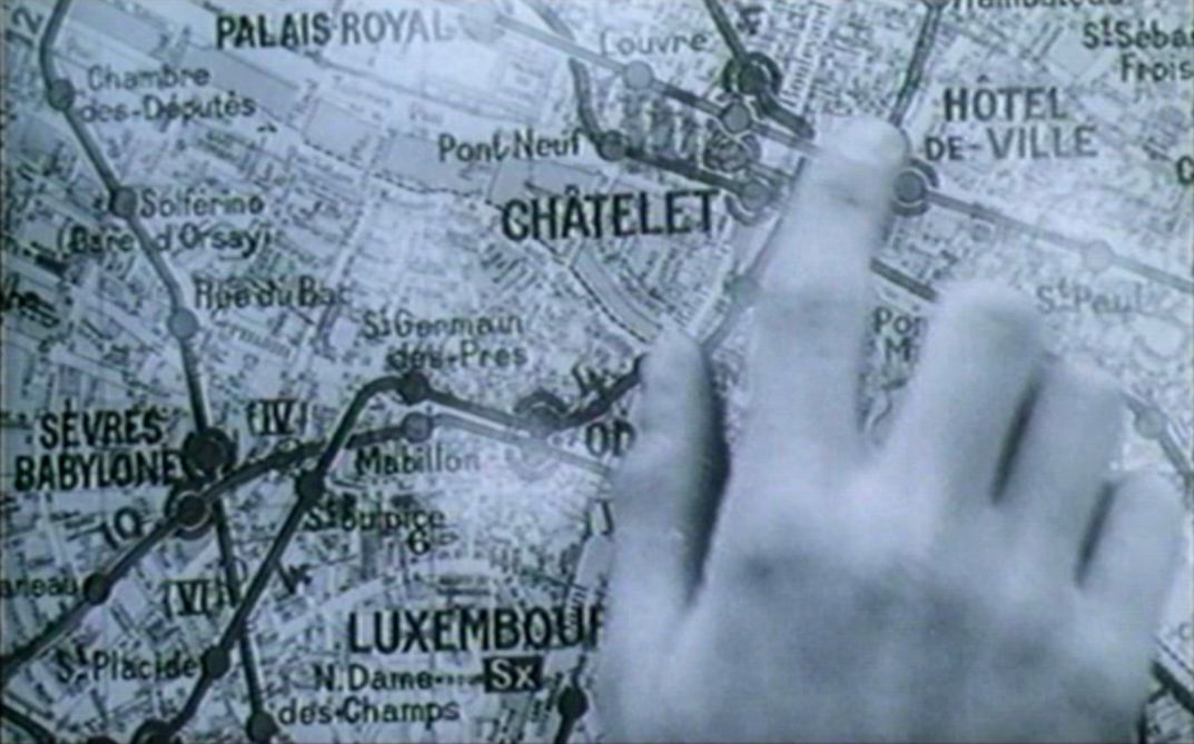
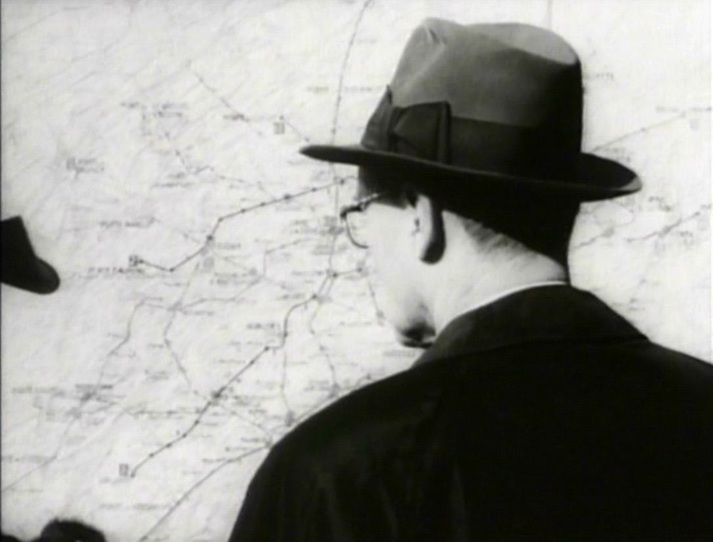
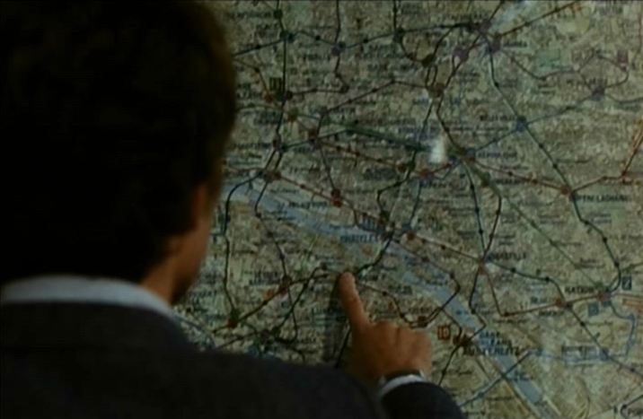
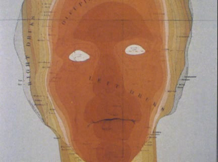
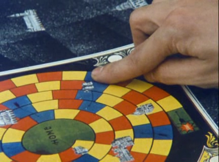
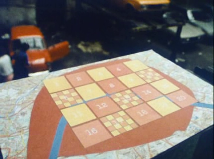
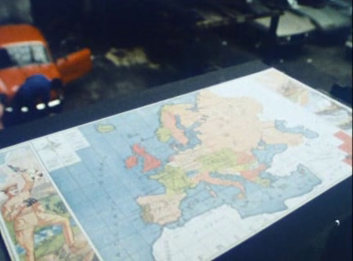
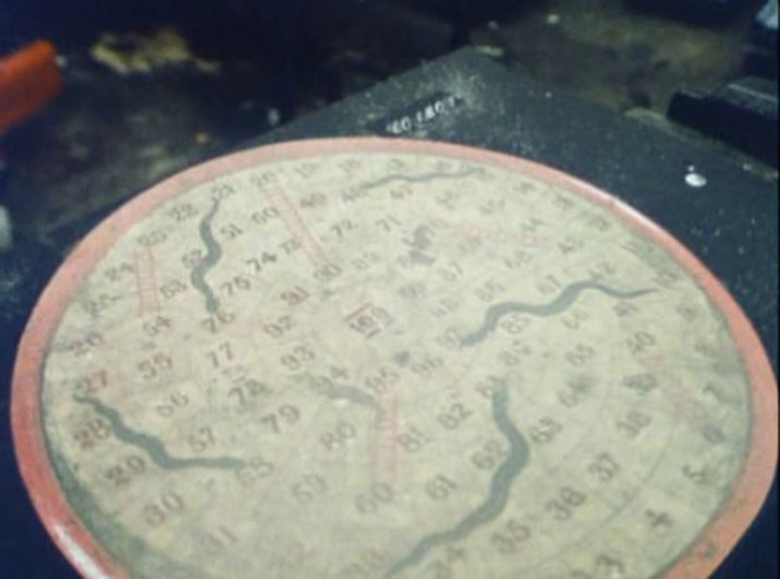
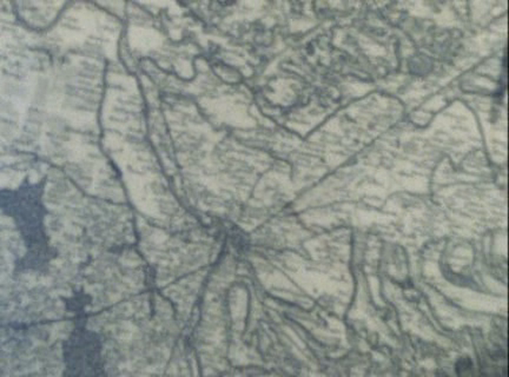
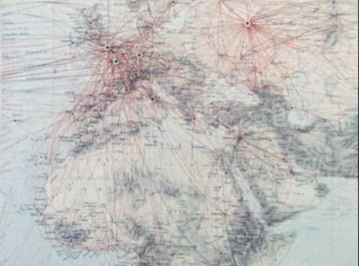
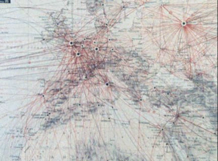
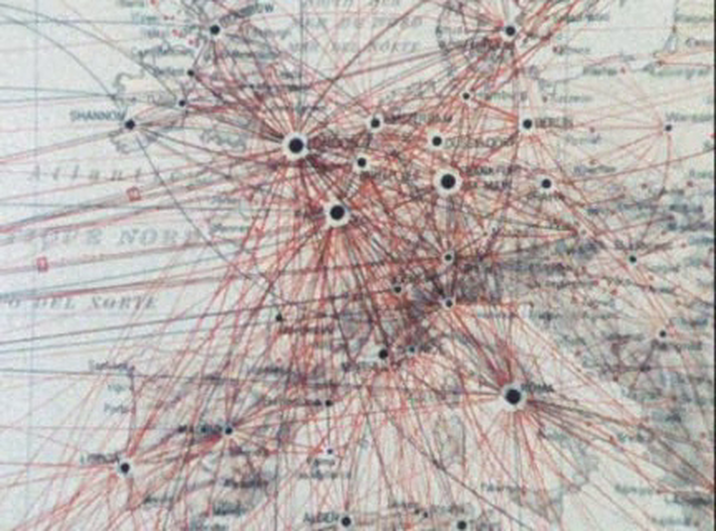
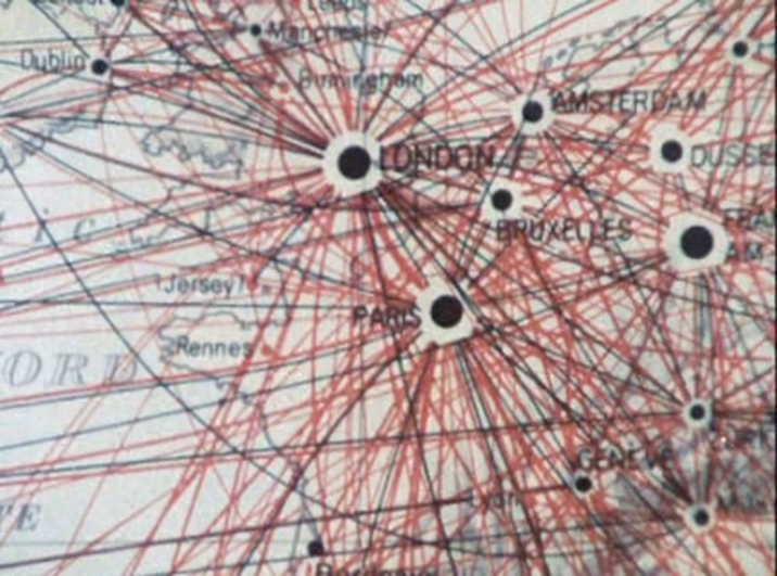
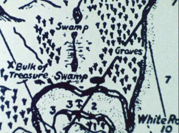
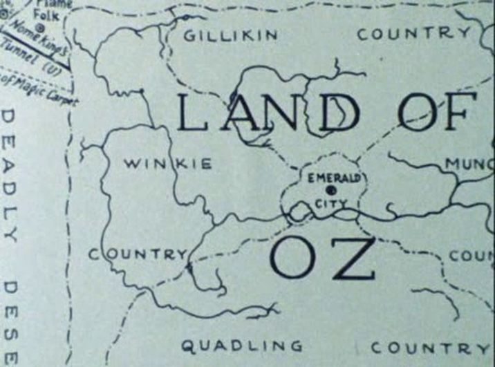
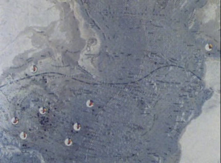
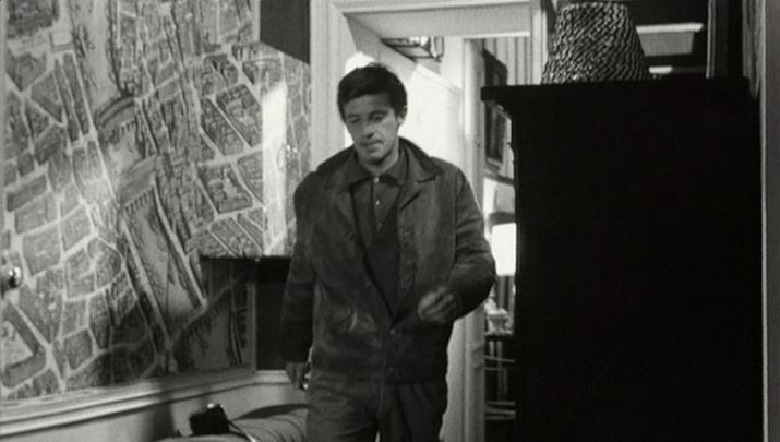
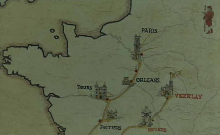
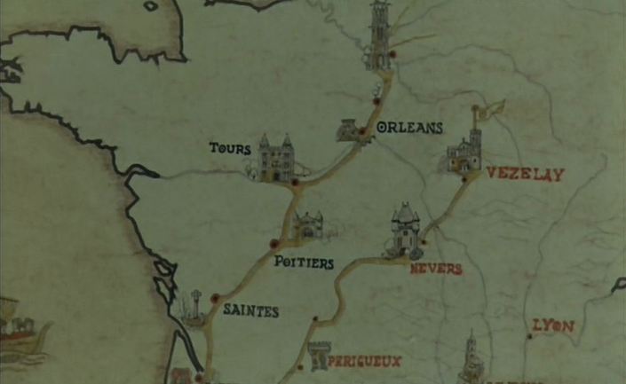
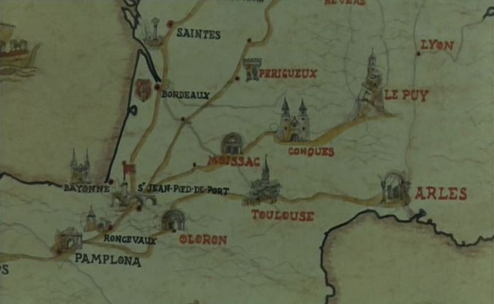
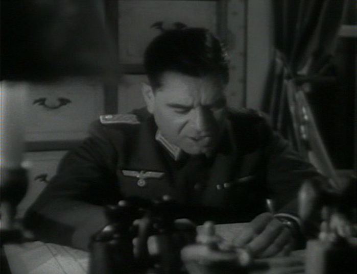
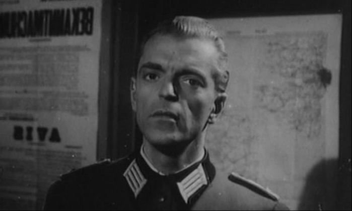
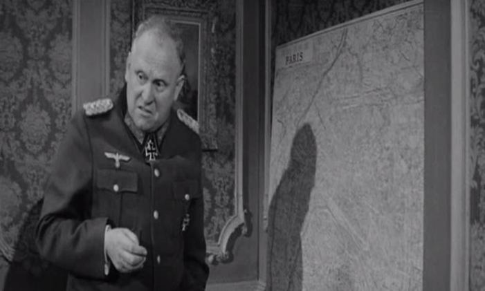
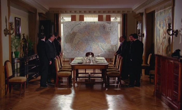
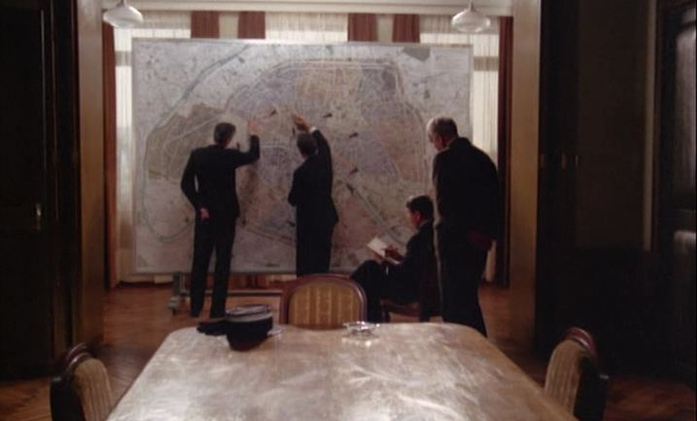
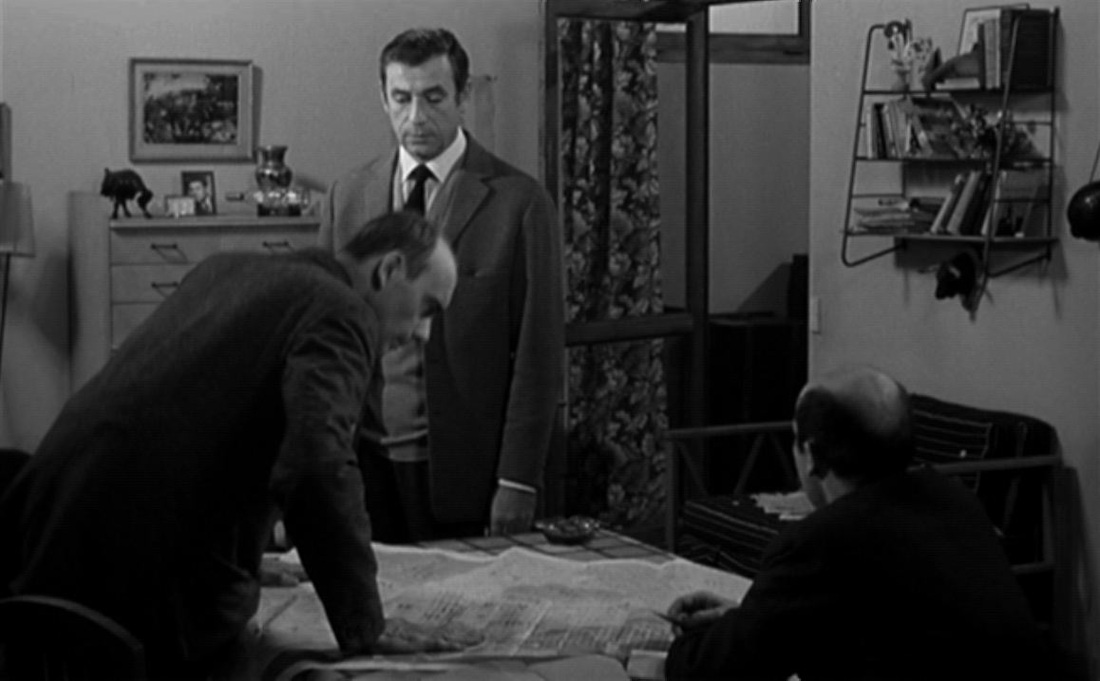
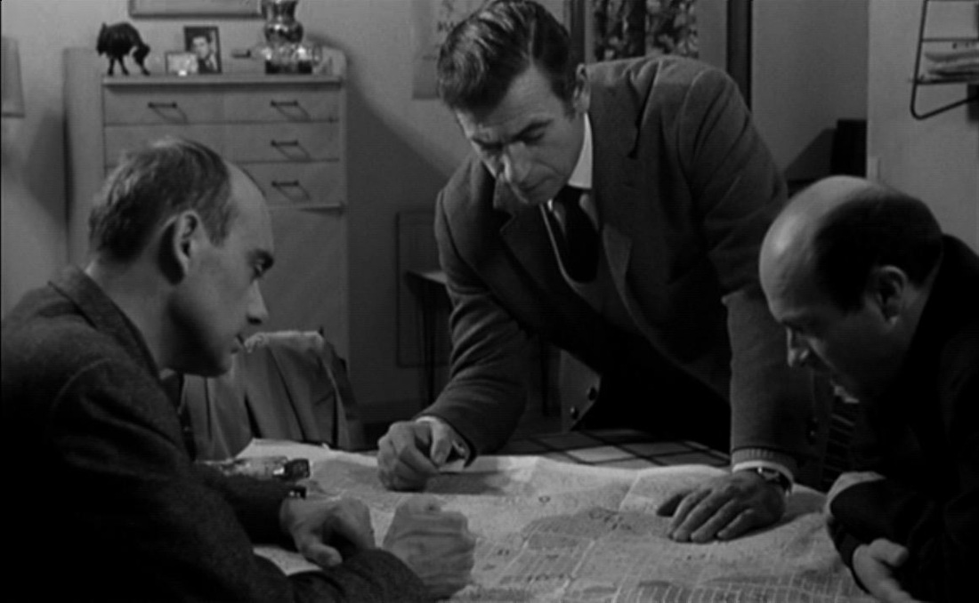
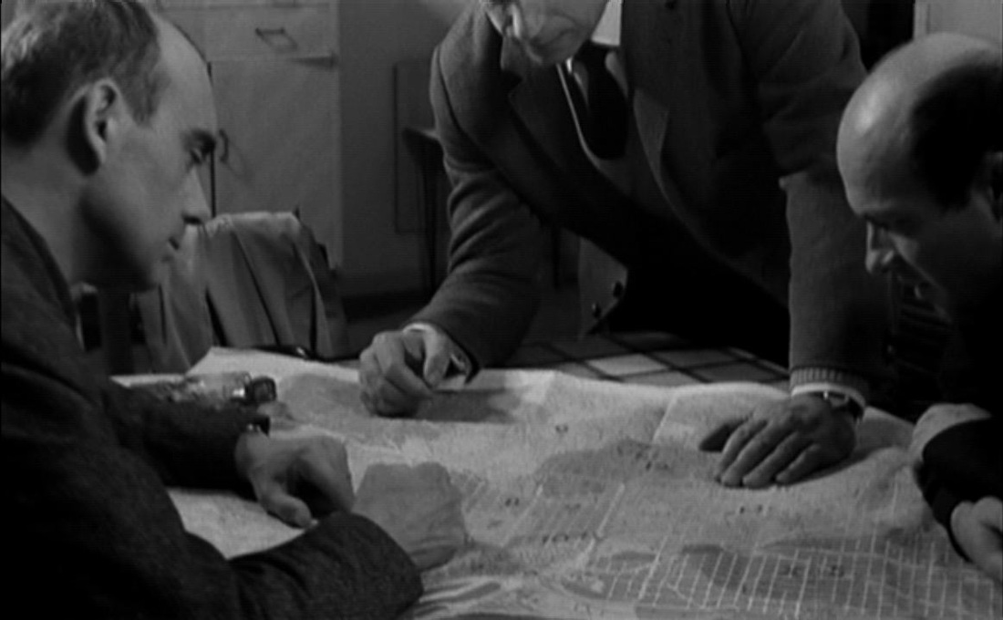
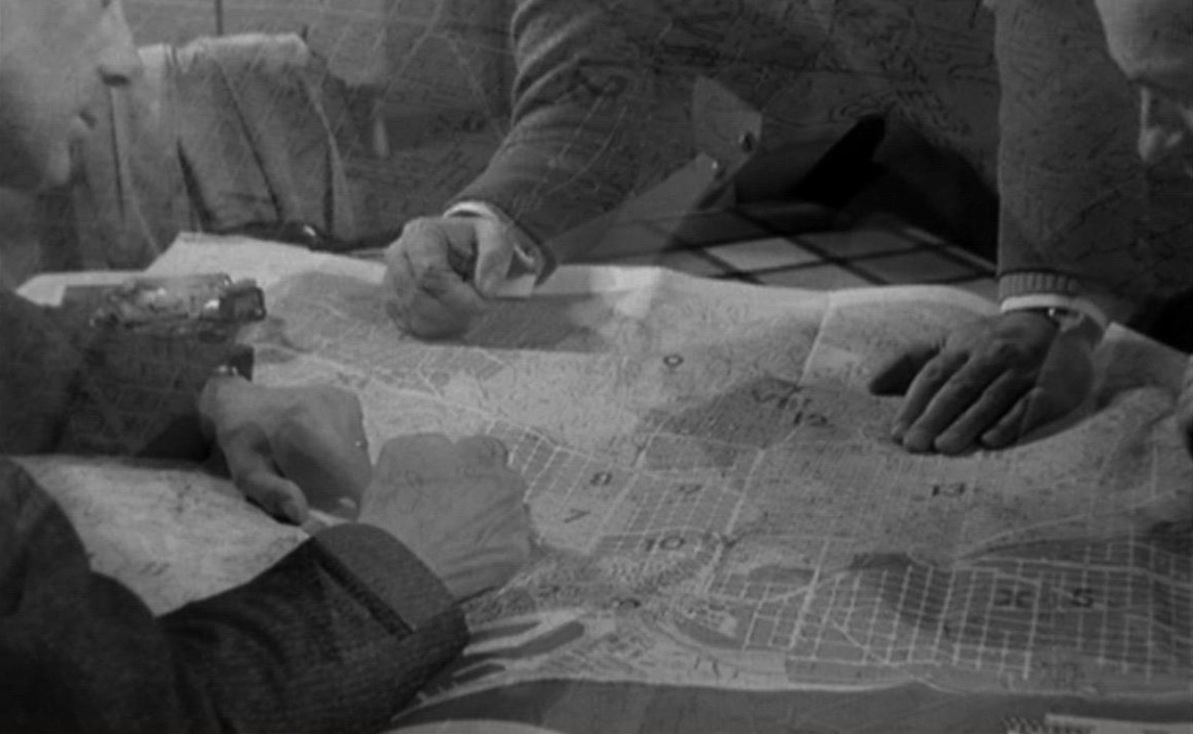
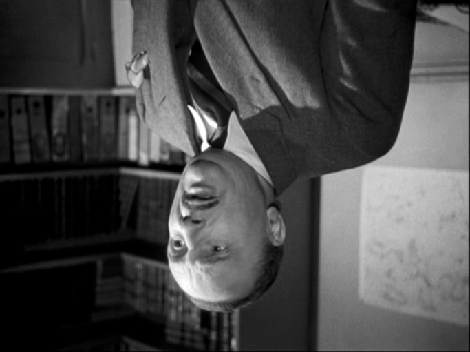
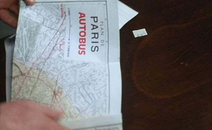
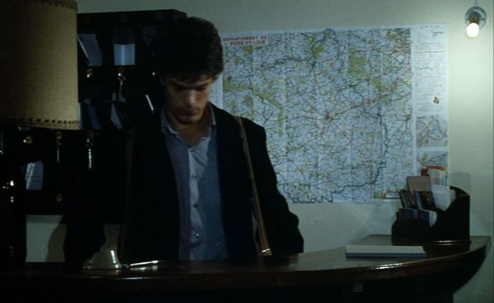
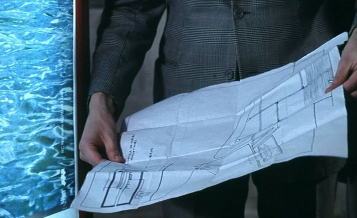
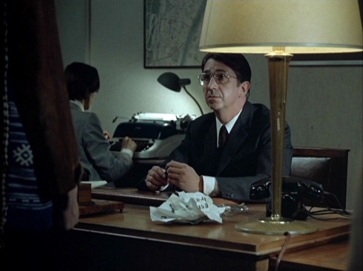
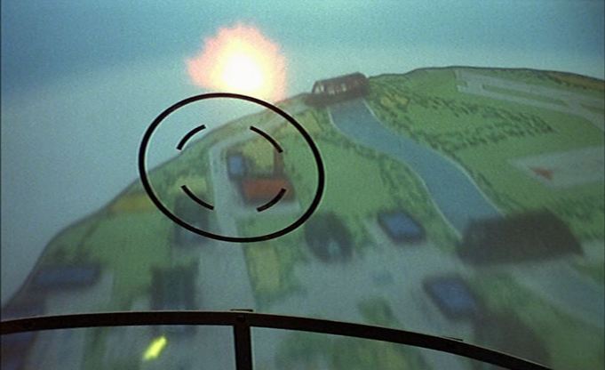
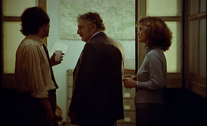
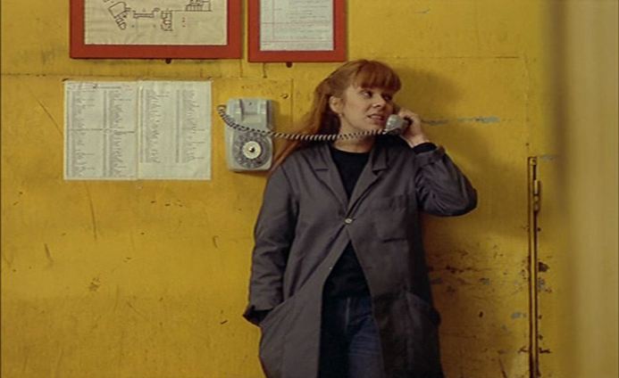
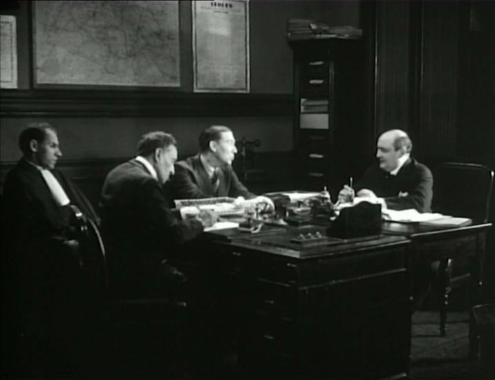
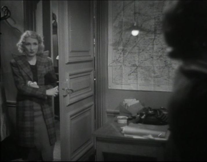
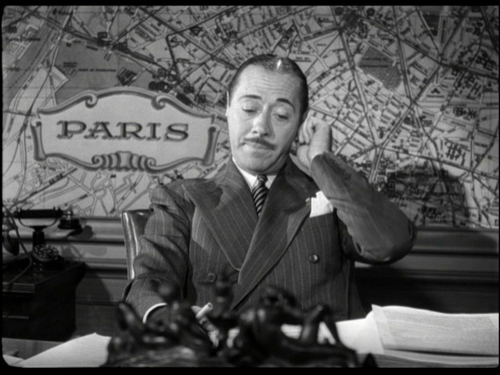
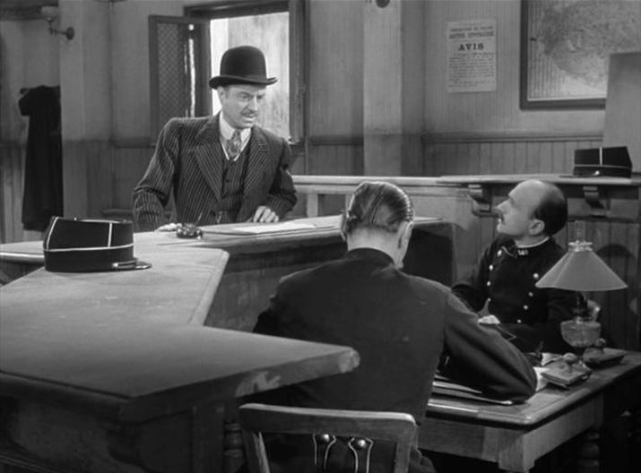
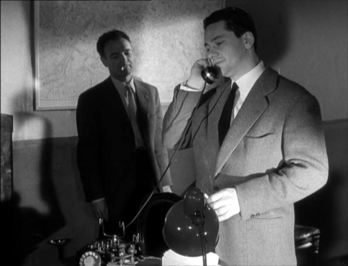
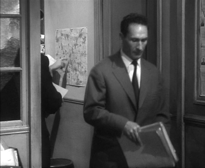
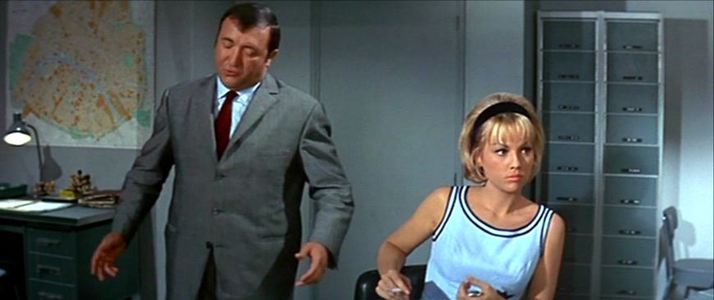
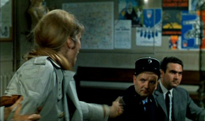
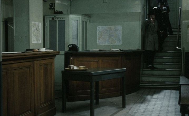
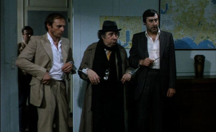
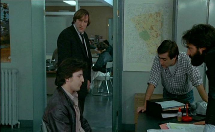
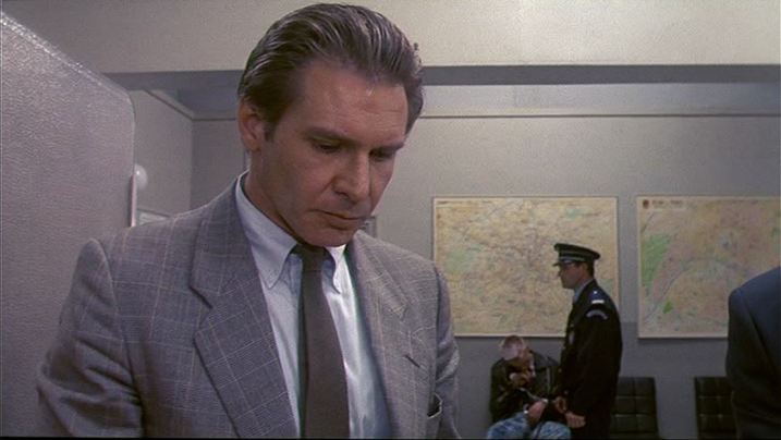
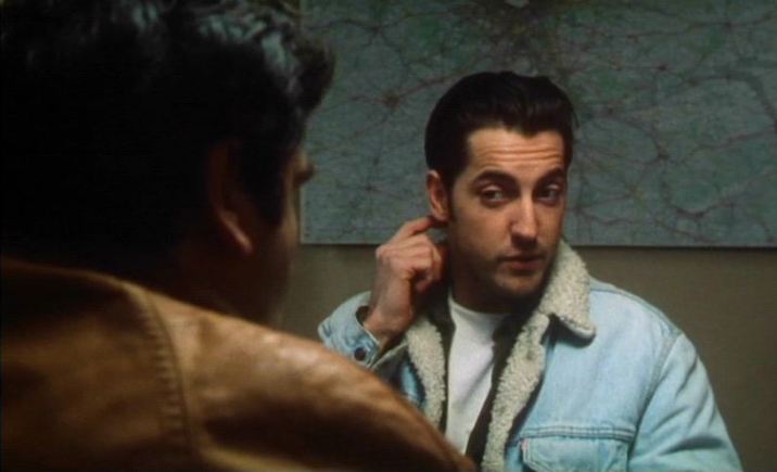
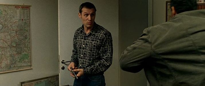
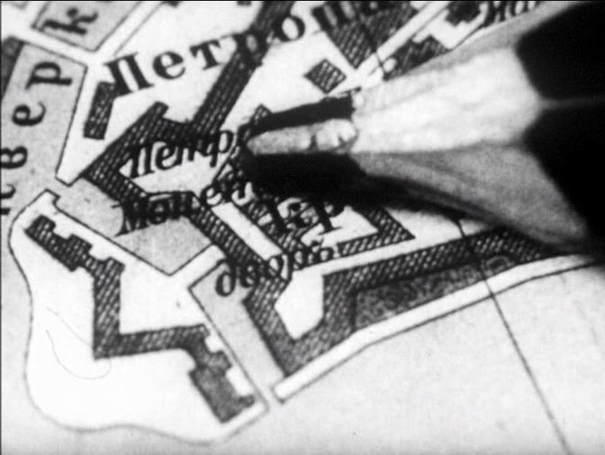
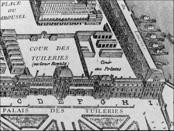
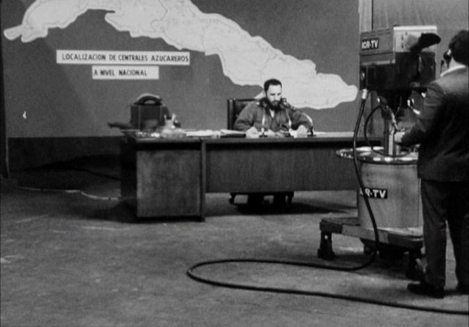
The other maps in the film are all in the set representing police headquarters, quai des Orfèvres:
The other maps in the film are all in the set representing police headquarters, quai des Orfèvres: