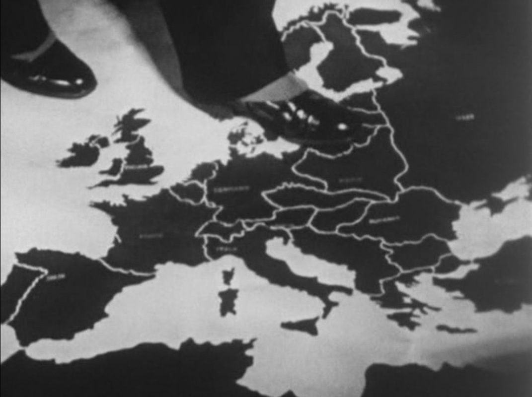
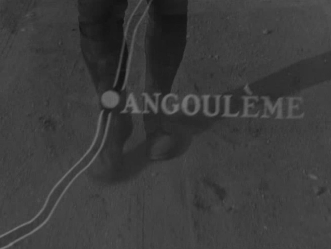
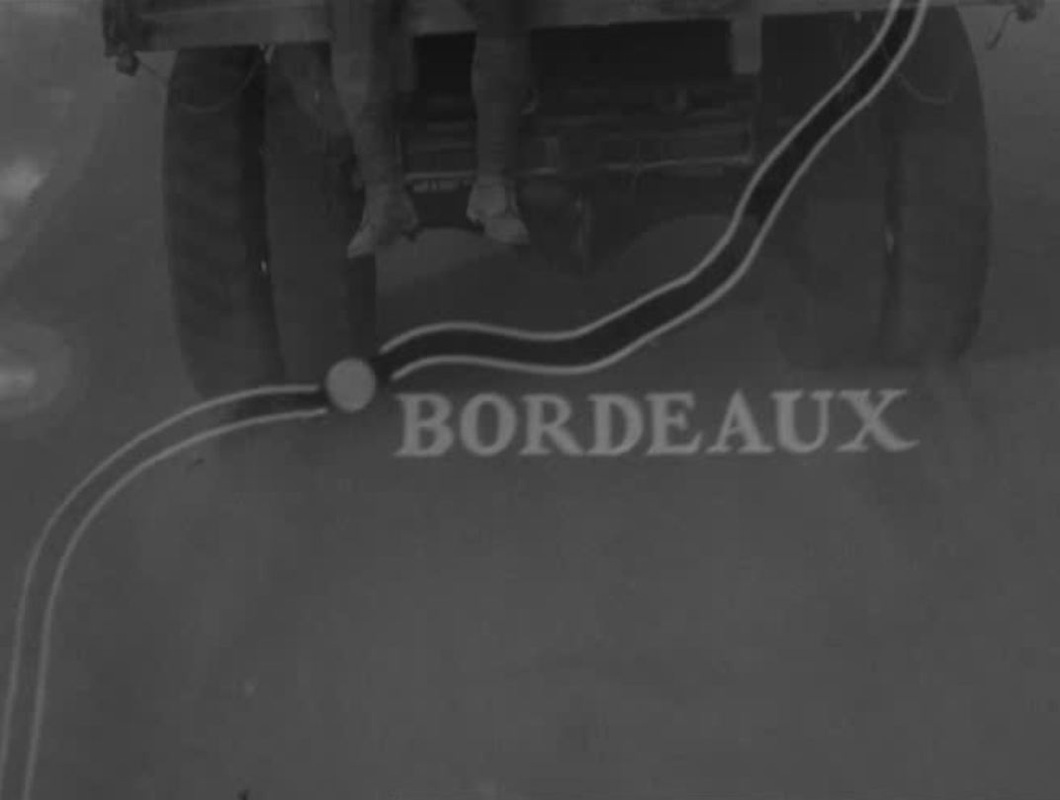
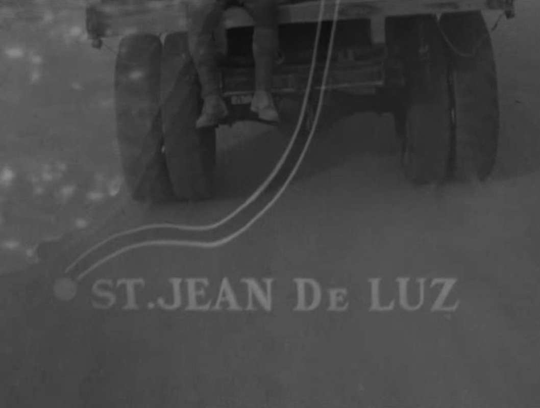
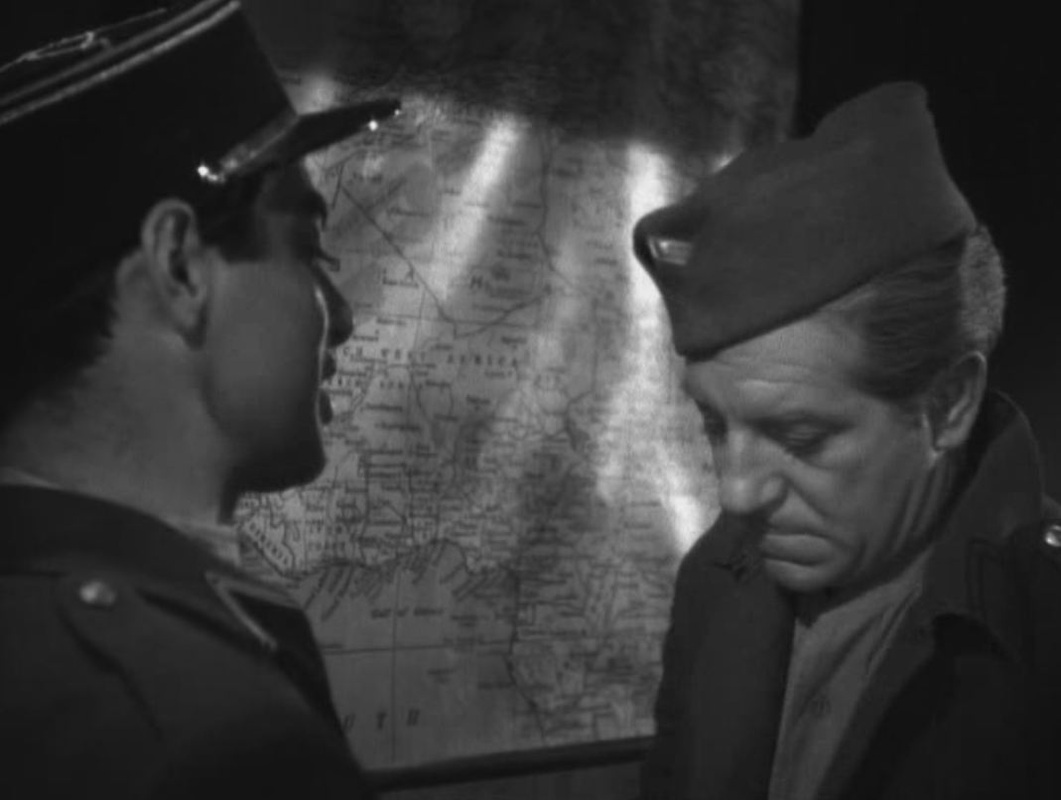
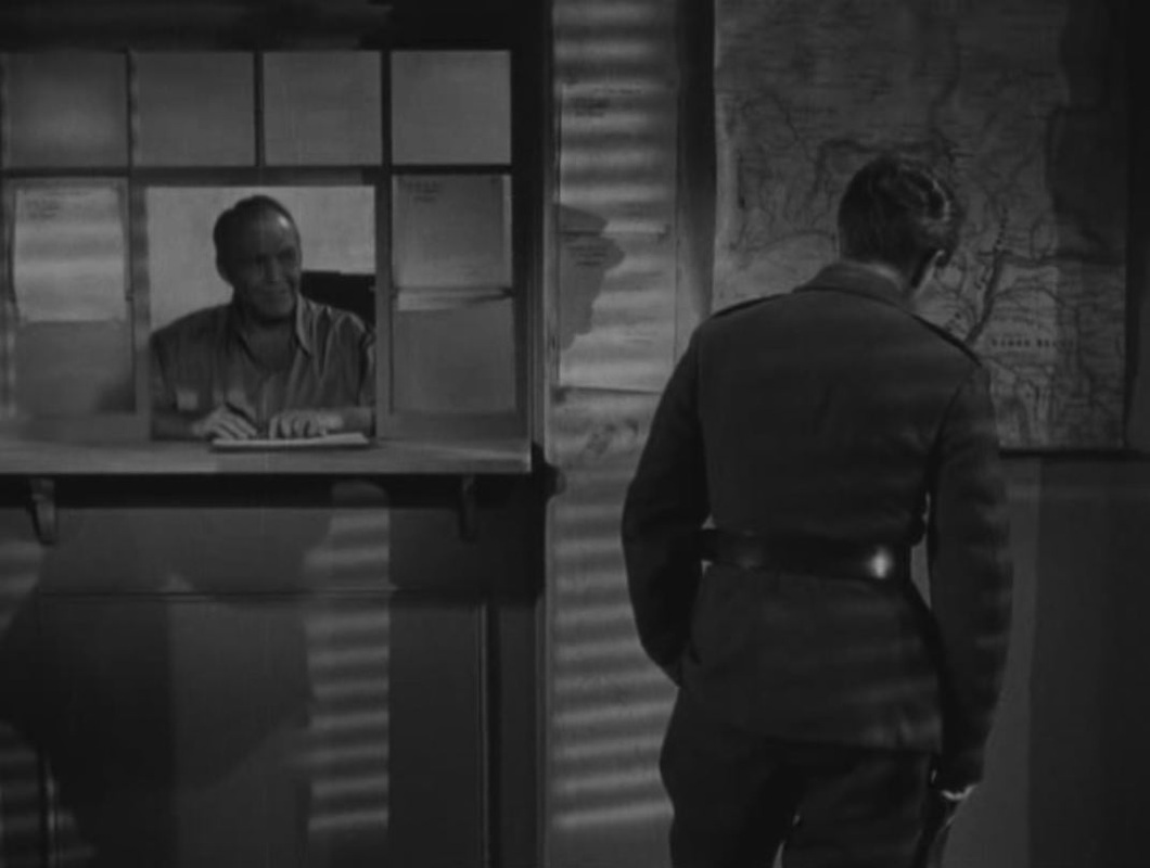
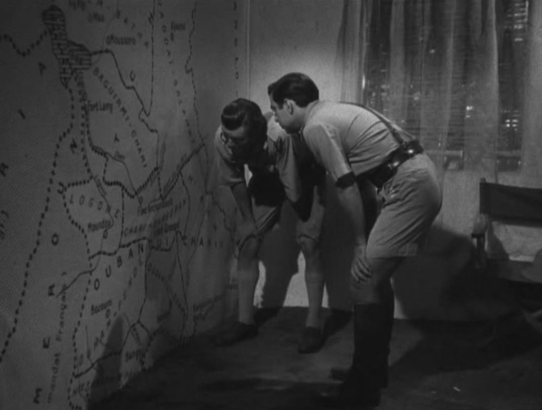
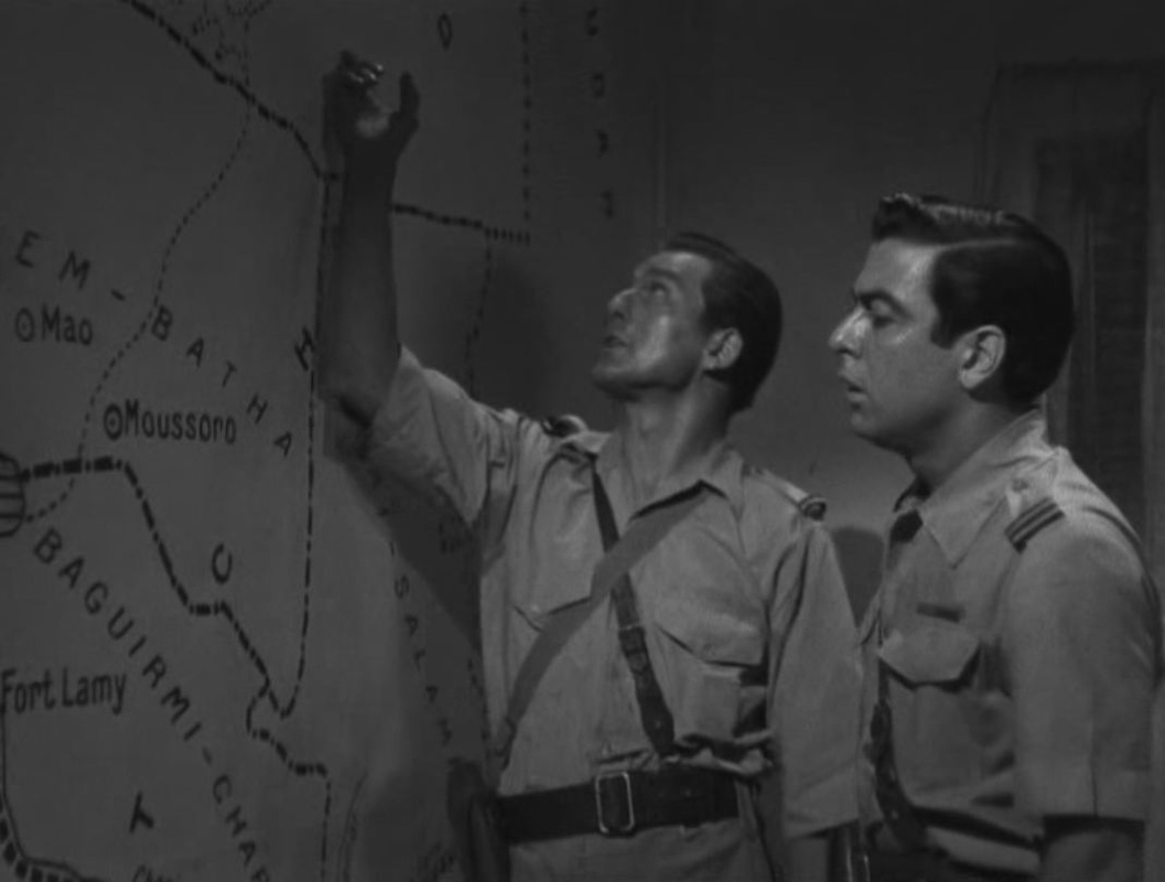
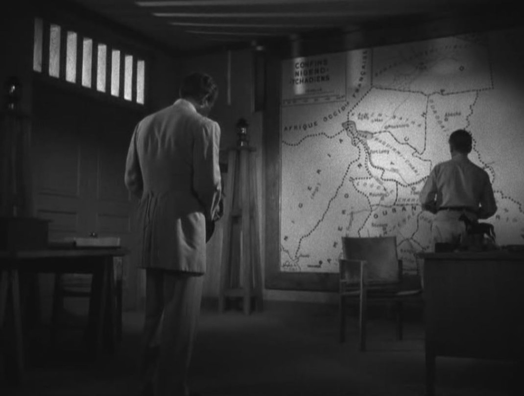
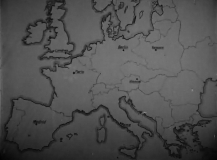
Several cinemaps are used to illustrate advances in the campaign, but there is also footage of interested parties consulting maps, as here:
|
Several cinemaps are used to illustrate advances in the campaign, but there is also footage of interested parties consulting maps, as here:
0 Comments
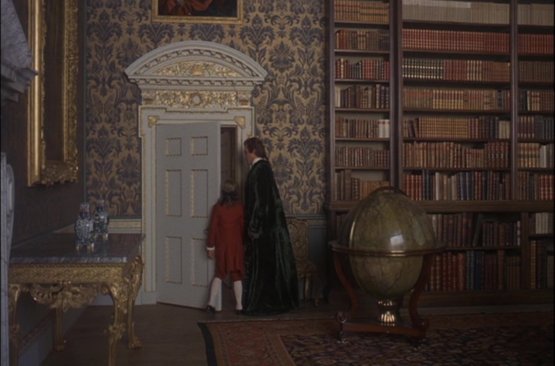
                               Where the message of an animated map is not self-explnatory, Biggar and Mclaren add a slogan: 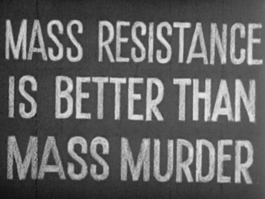 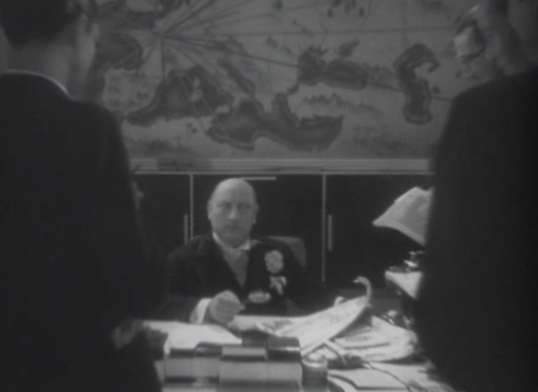 A designed map is used as expressive décor, in the manner of L'Herbier's L'Argent three years earlier (see here), and though the film gives no credits, this must be more of Lazare Meerson's cartographic work: 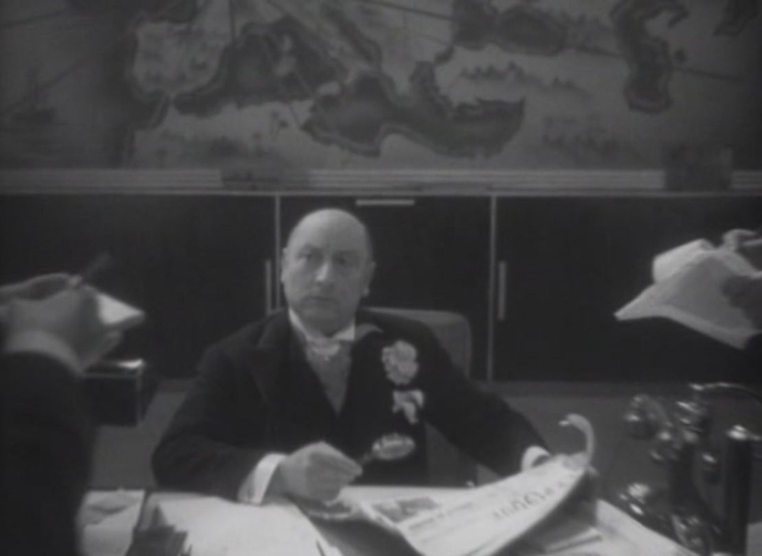 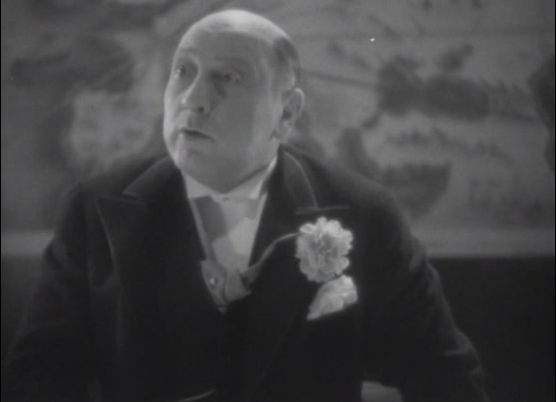 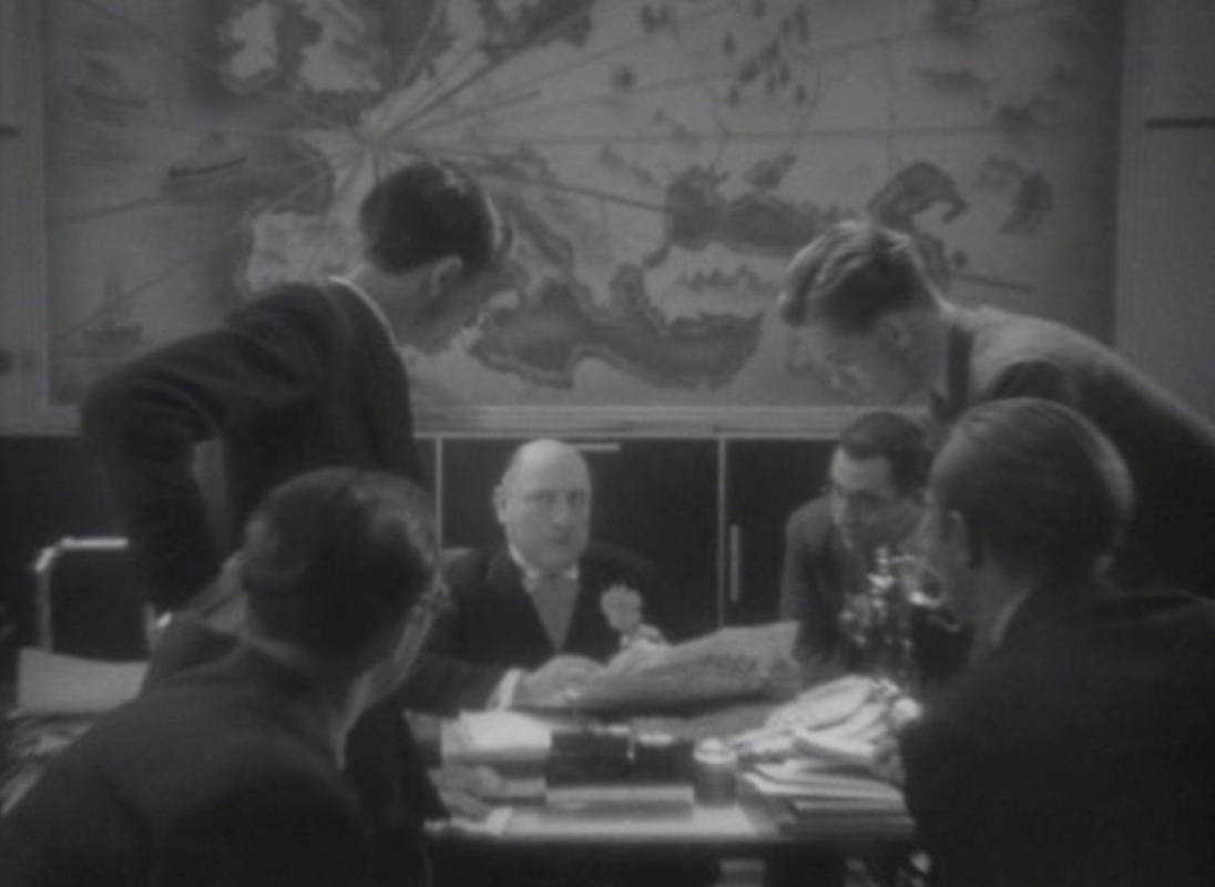 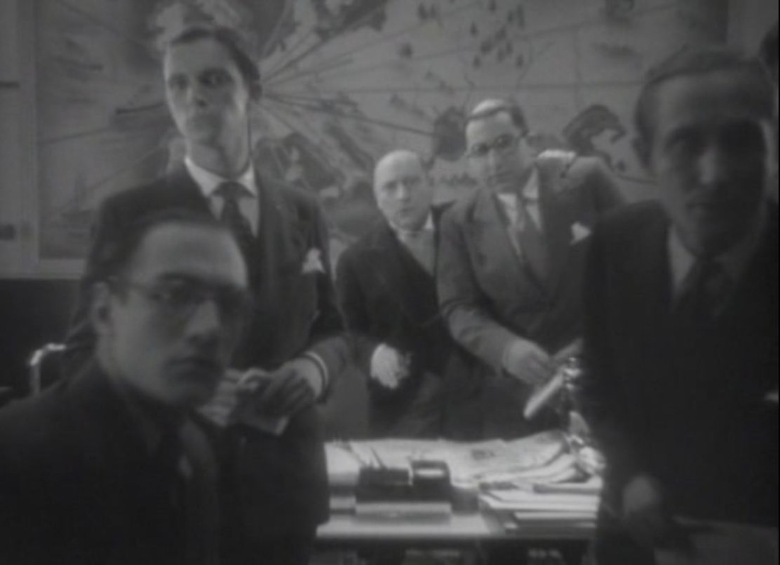 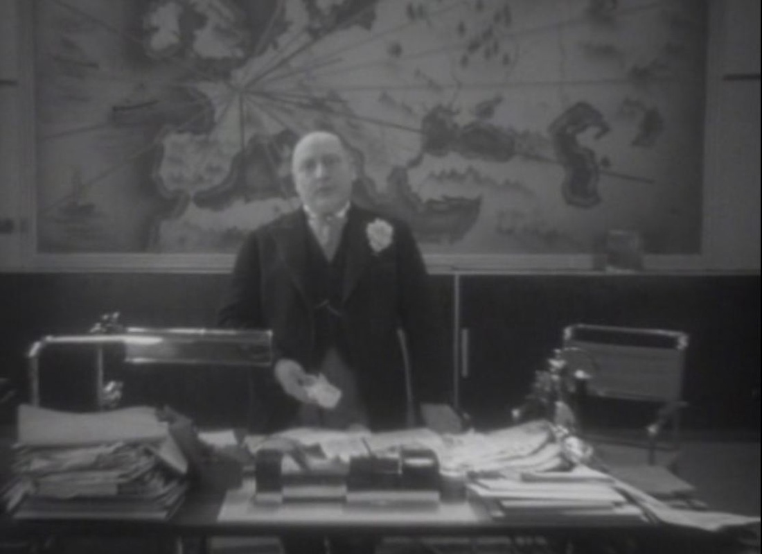   There's another, purely background map, of no graphic consequence:  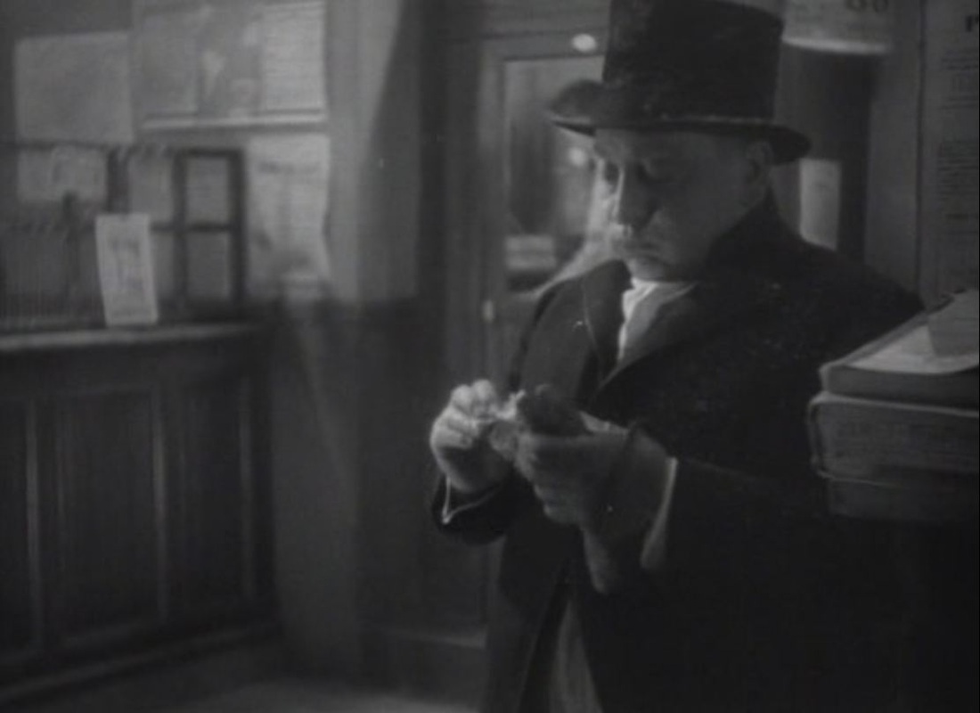 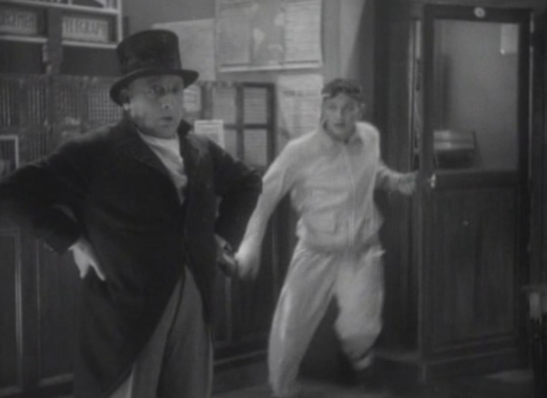 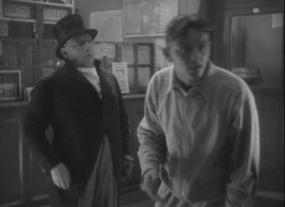 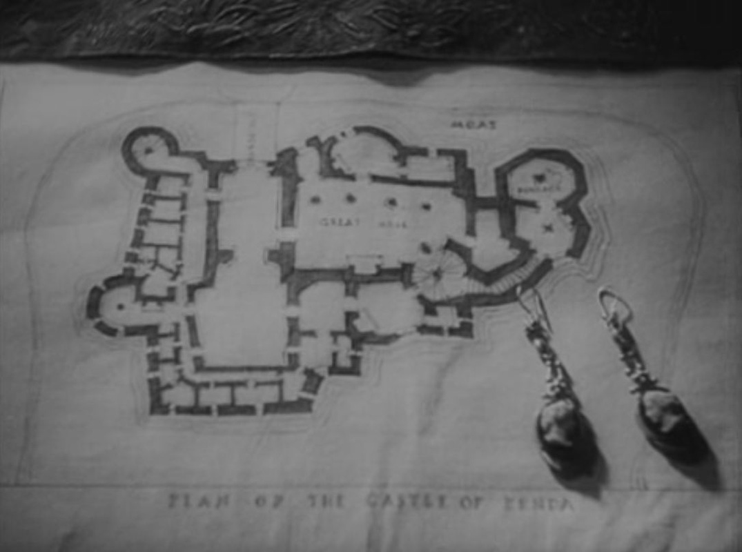 The 1952 Prisoner of Zenda (see here) is a sequence-for-sequence, almost a shot-for-shot, remake of the 1937 version, using the same shooting script. Some of the slight differences between the versions concern the use of maps. For example, the earlier film's opening has the written prologue superimposed on a map, followed by the map alone, then comes a train; the later version shows the written prologue on its own, followed by a superimposition of map and train: 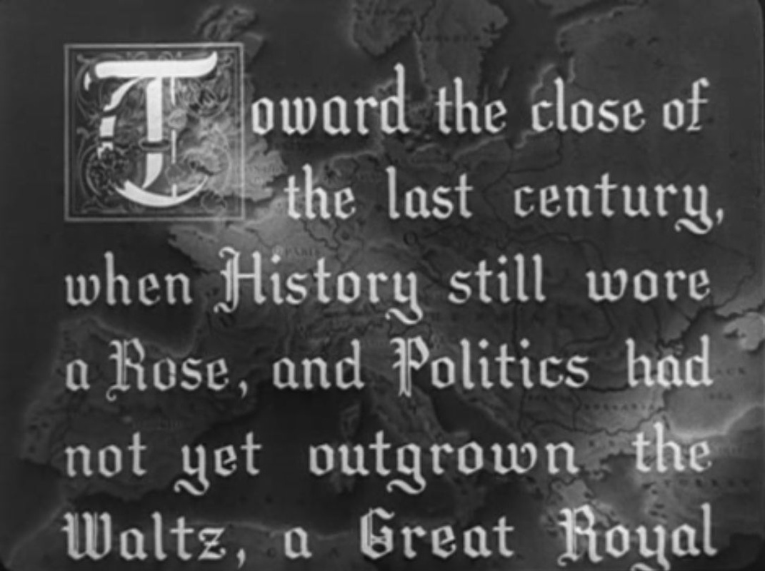 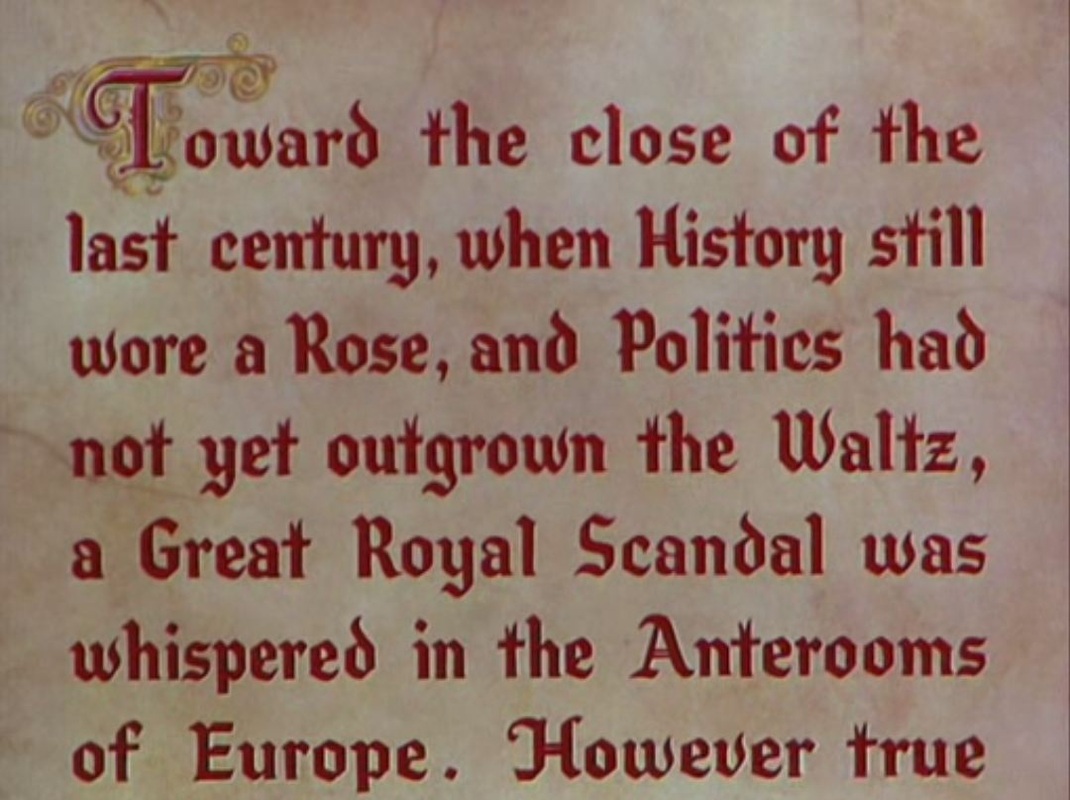 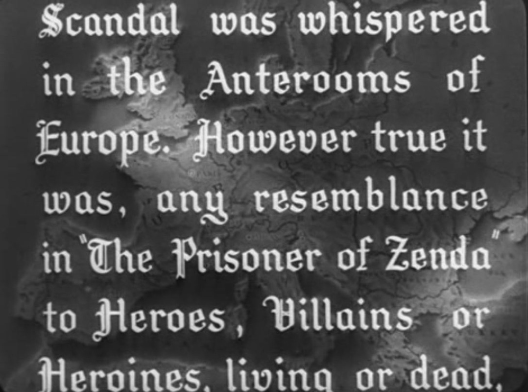 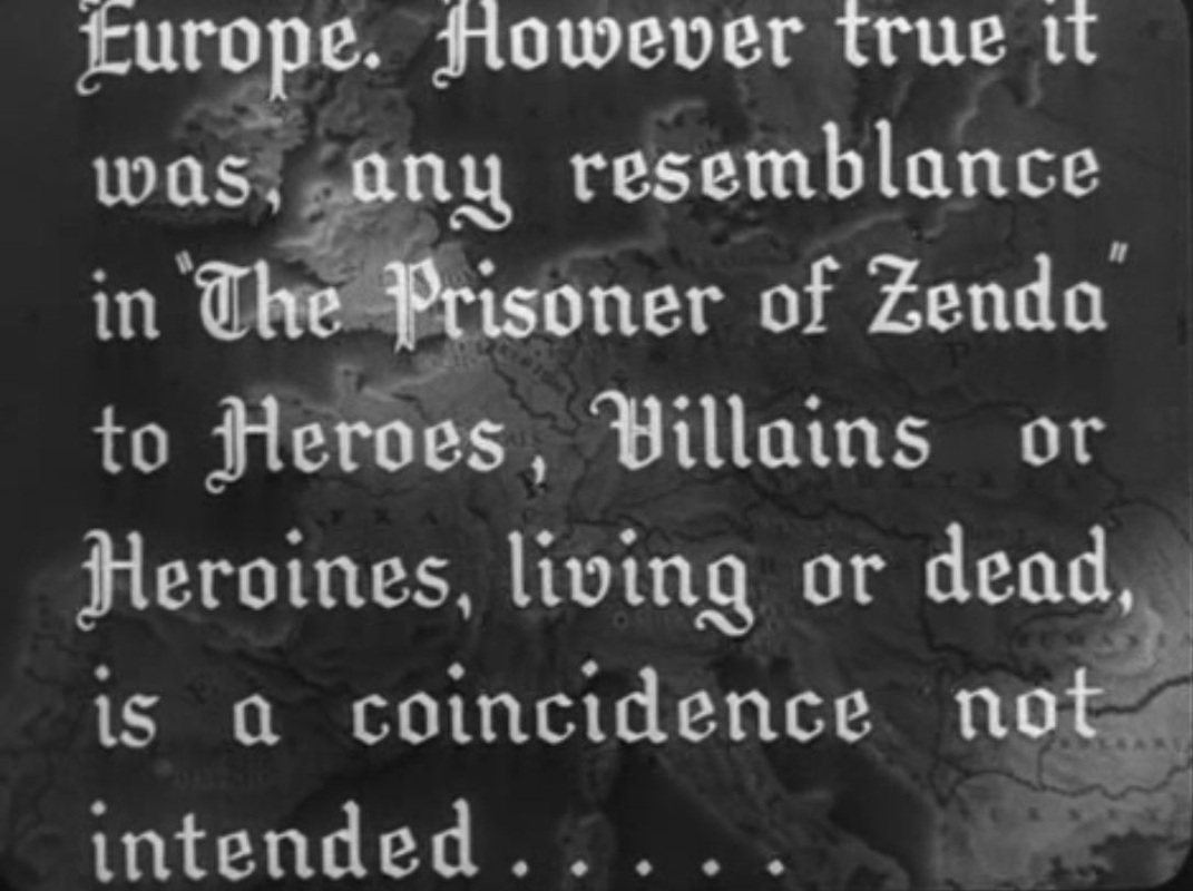 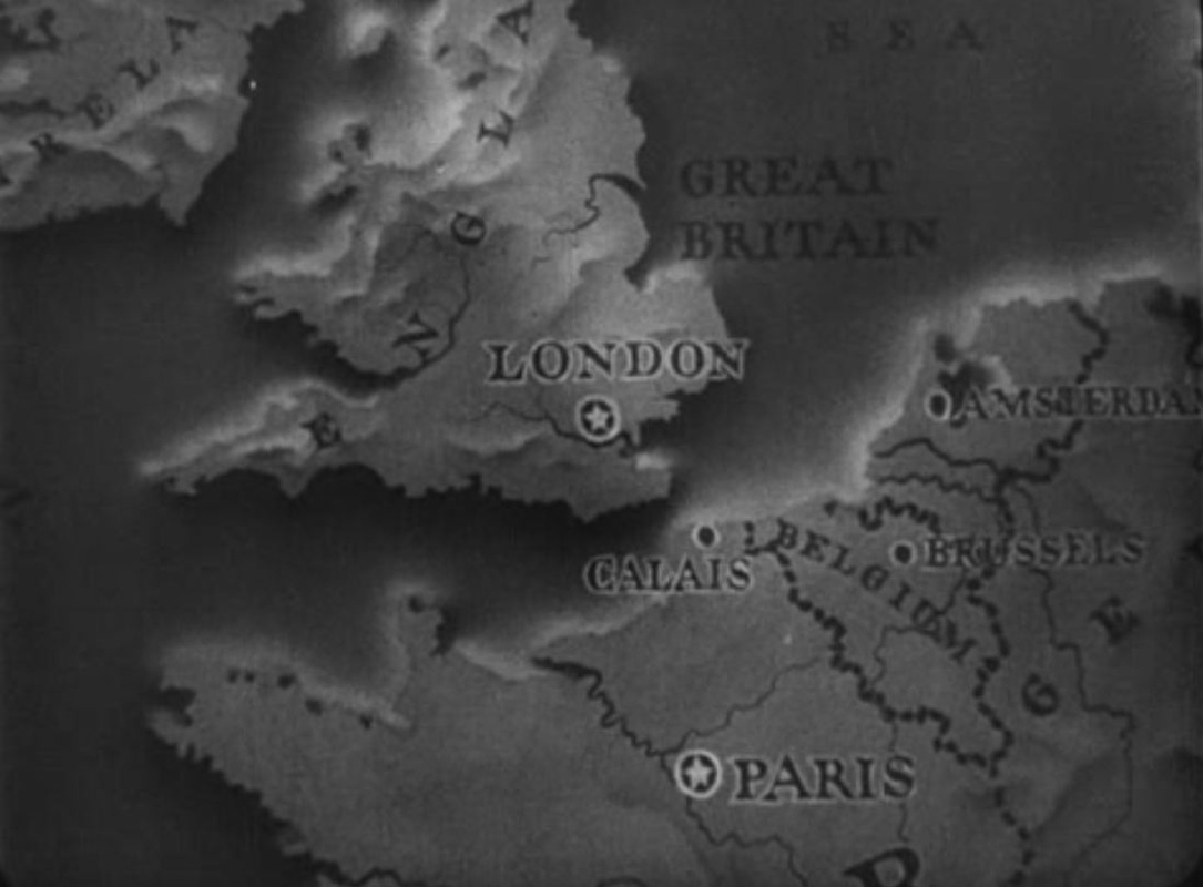 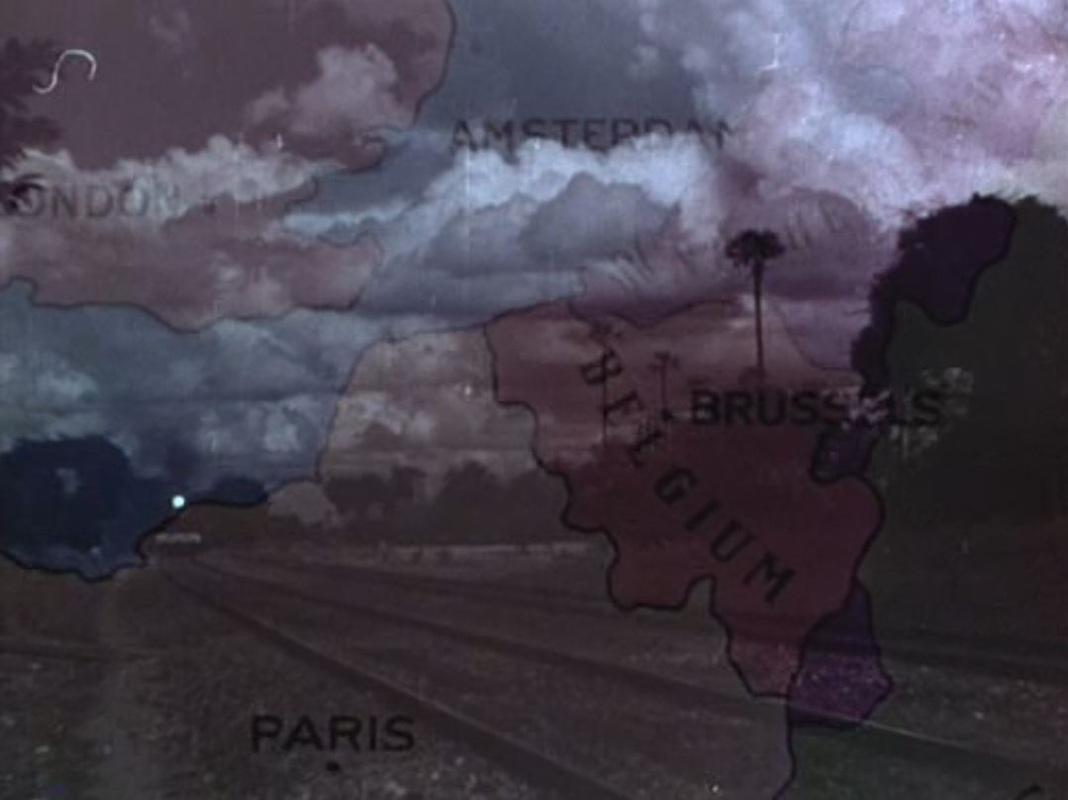 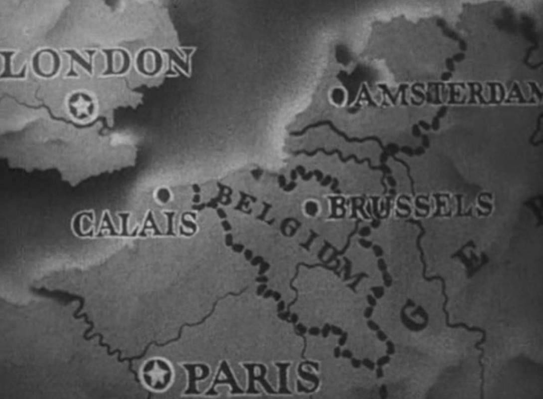   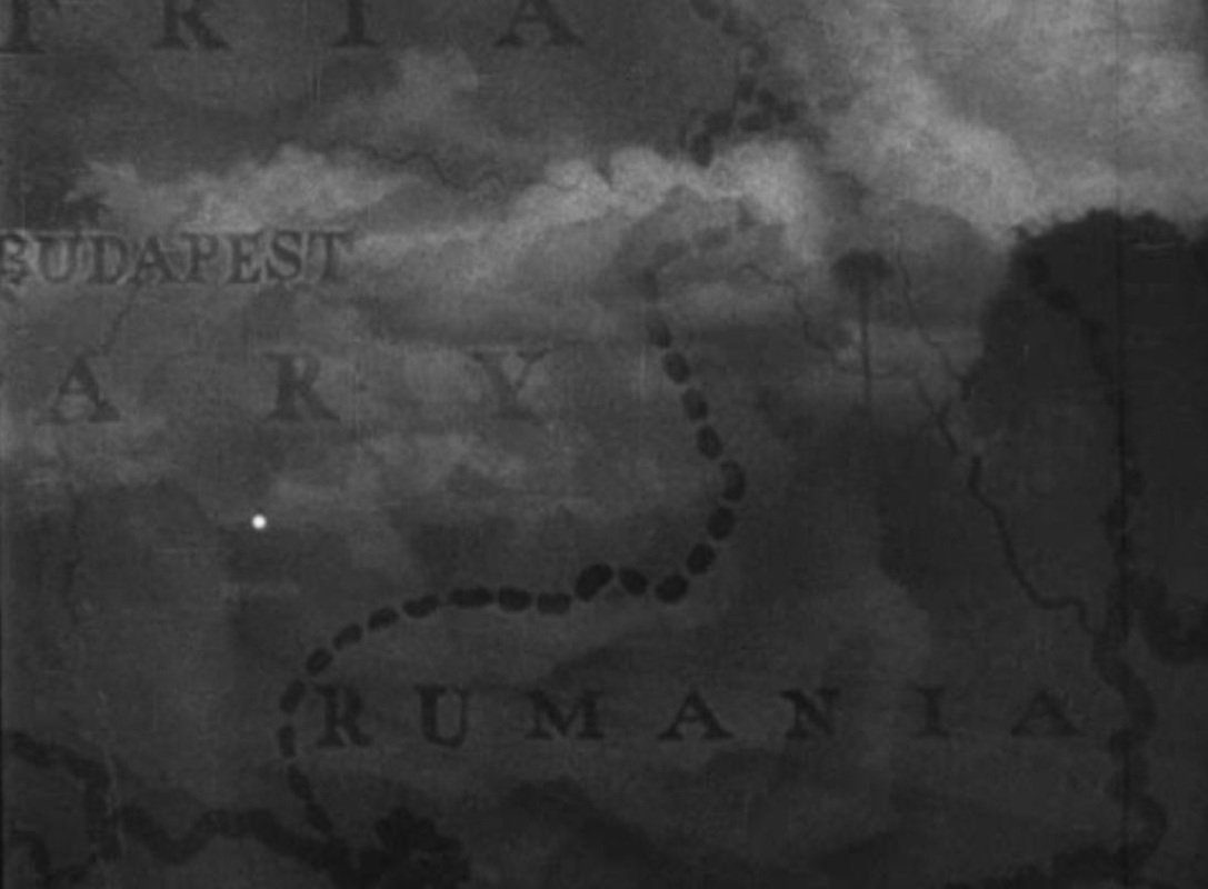 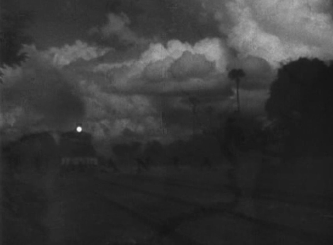 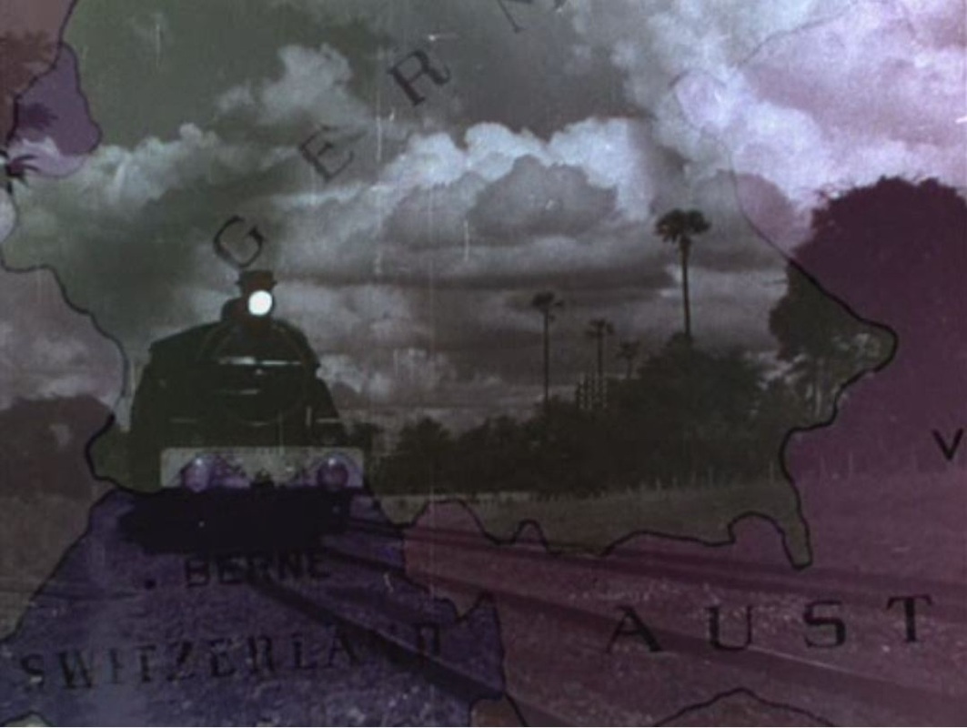 The 1952 version actually borrows the footage of the train from the earlier film. This superimposition is both intertextual, acknowledging the pretext, and intermedial, laying colour film over black-and-white. (Incidentally, there are no maps in Richard Quine's 1979 version of The Prisoner of Zenda, made from a new script,so the intertextual chain stops at this post.) 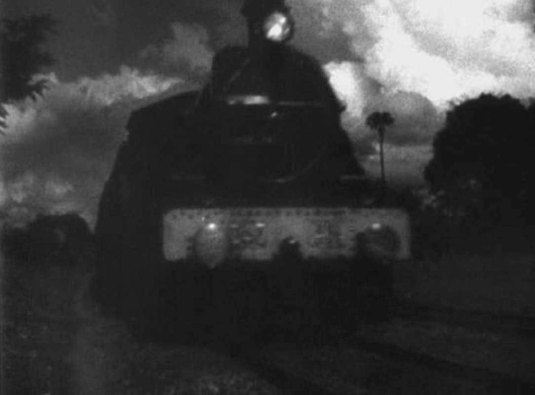 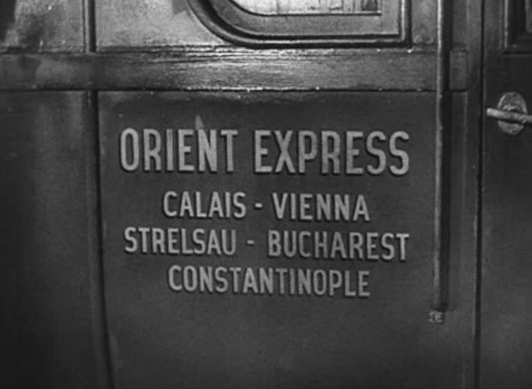  In Duke Michael's room there is an astrolabe rather than the globe we see in the later film: 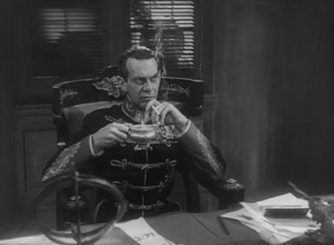  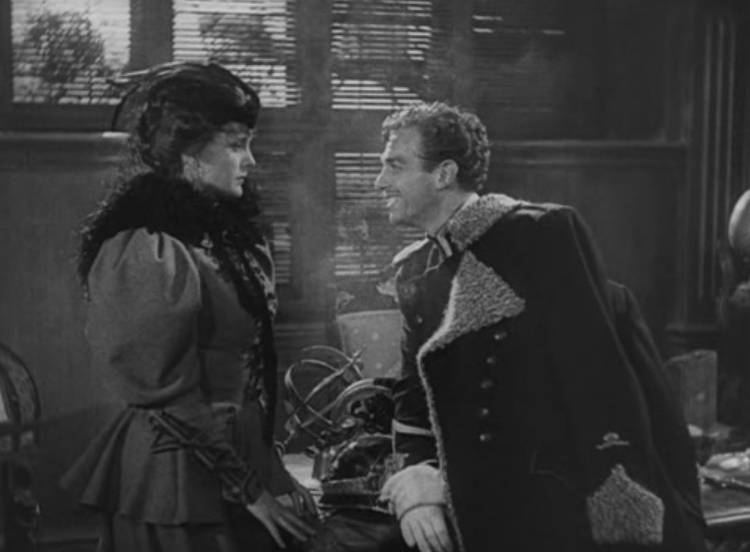  In both films there is the same sequence where the rescue from Zenda is planned, though the maps are not of the same castle: 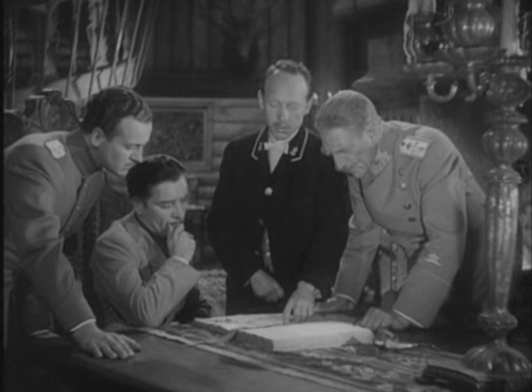 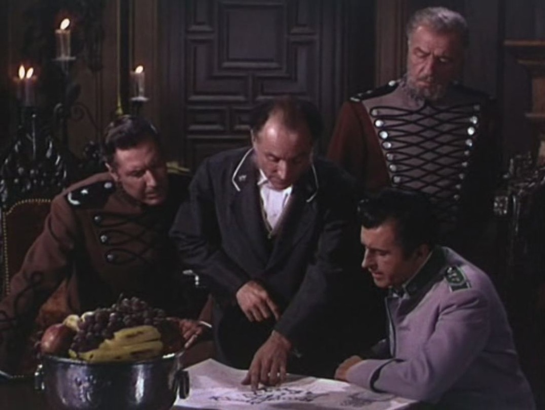 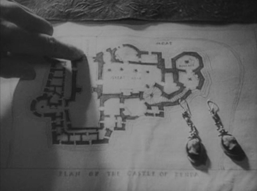   After a written prologue the film opens with a map superimposed on an advancing train, the Orient Express, heading East. This movement across Europe suggests the general vicinity of Ruritania, without having to show the fictional country on the map: 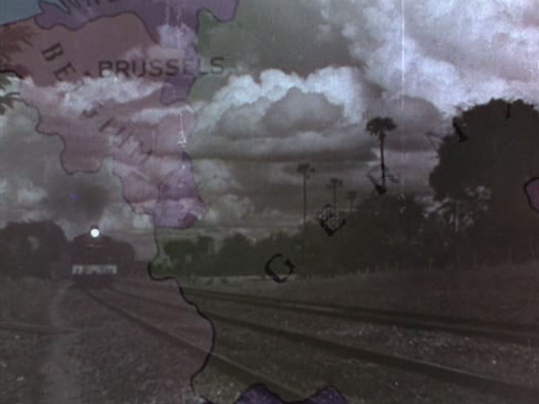 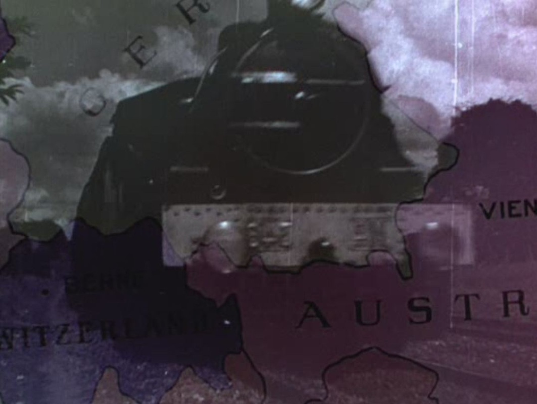 According to the panel on the train, Strelsau, the capital of Ruritania, is somewhere between Vienna and Bucharest: 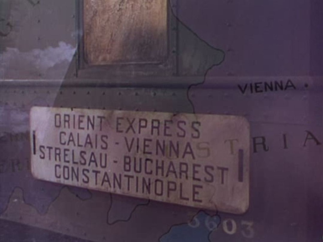 A globe serves as a real-world counterpoint to the fanciful place names that identify these protagonists - Antoinette de Mauban, Michael Duke of Strelsau and Rupert of Hentzau: 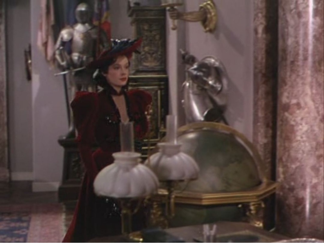 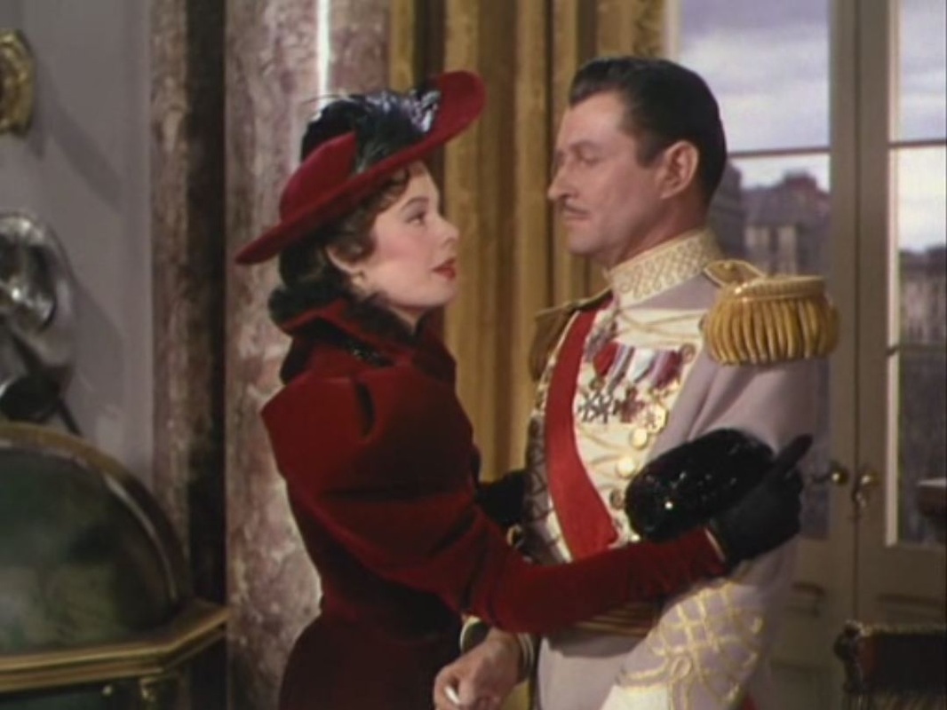 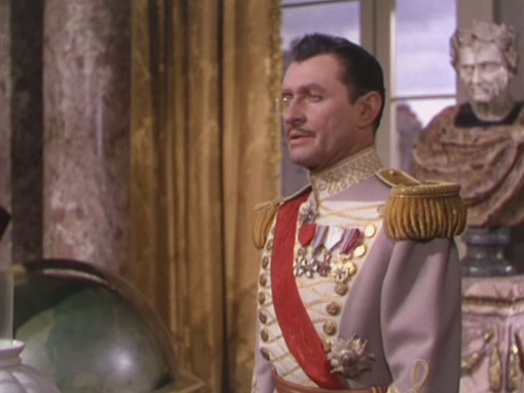 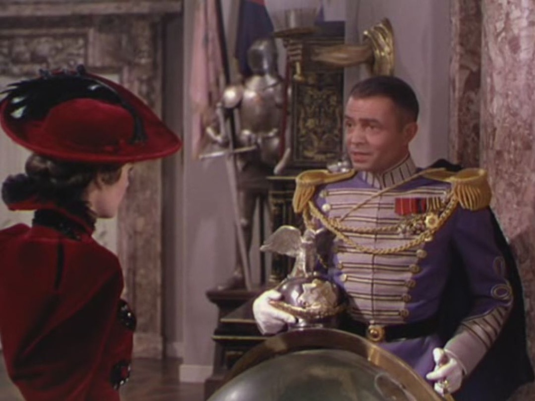 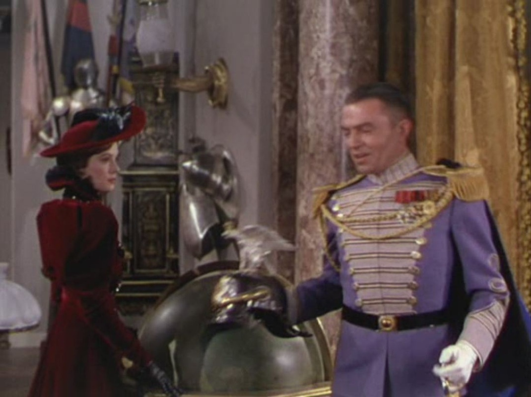 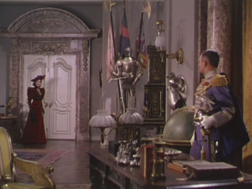 The film's last map is entirely fictional, a plan of the castle of Zenda from which the King must be rescued: 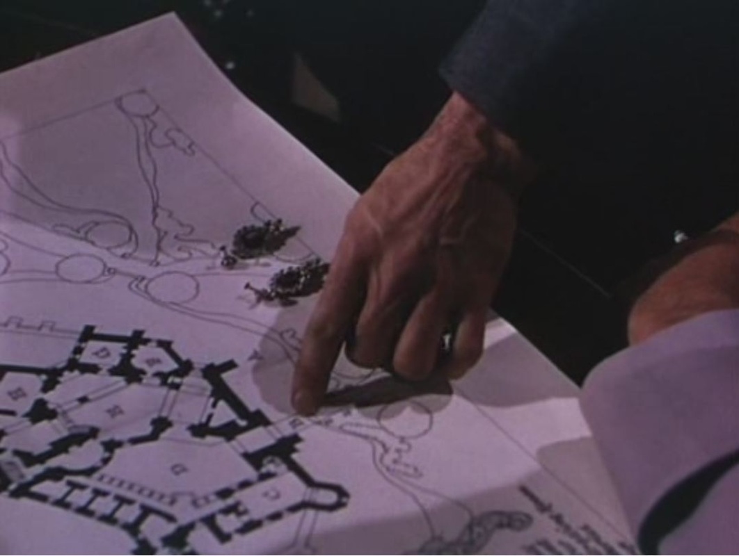 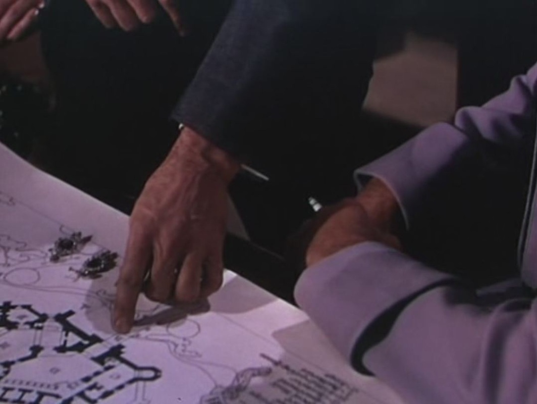   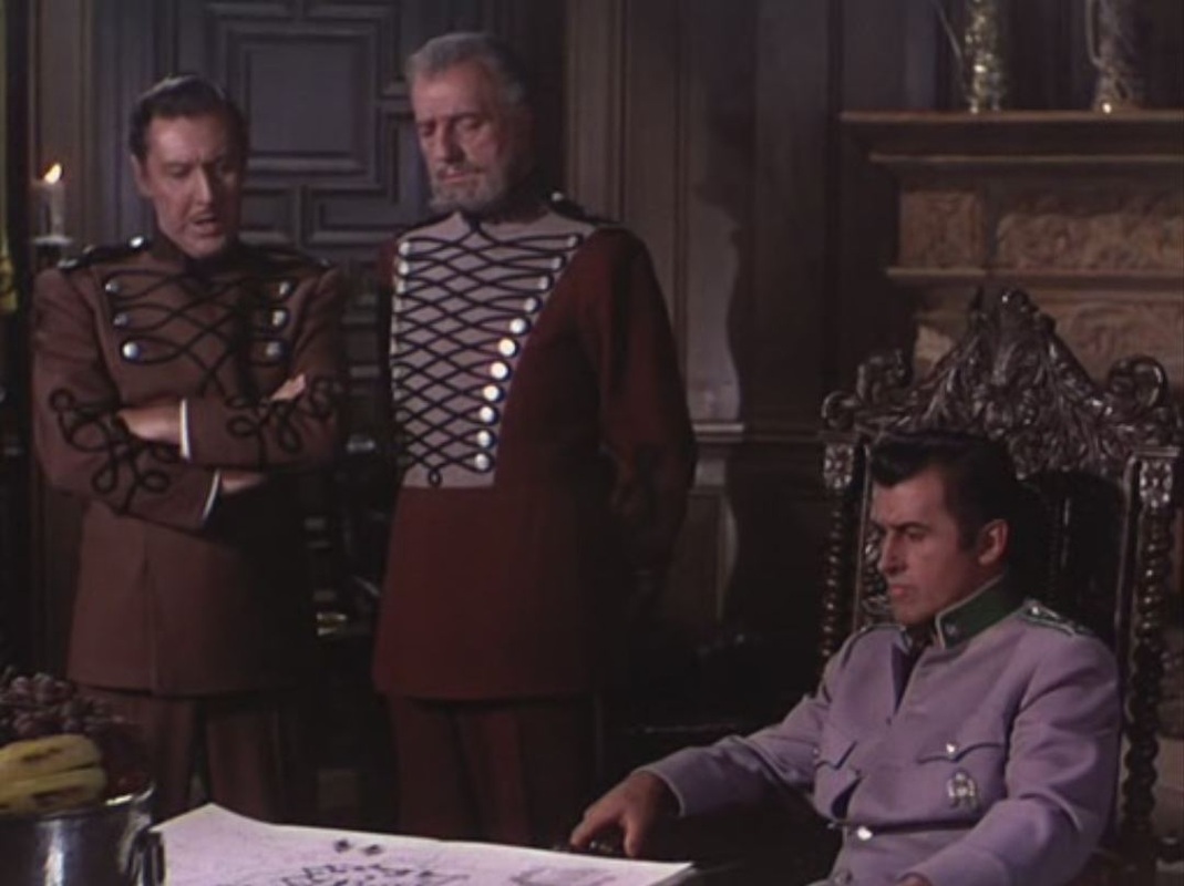 
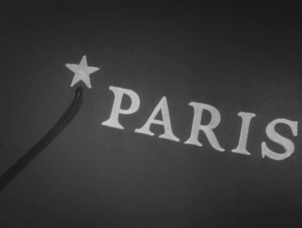
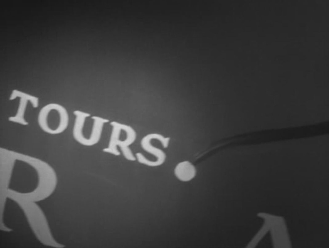
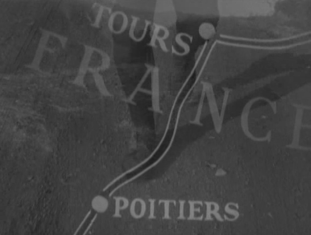
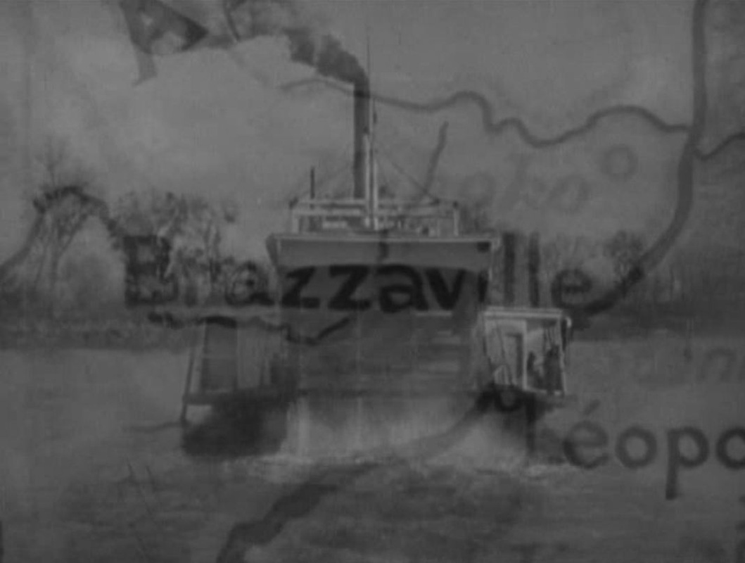
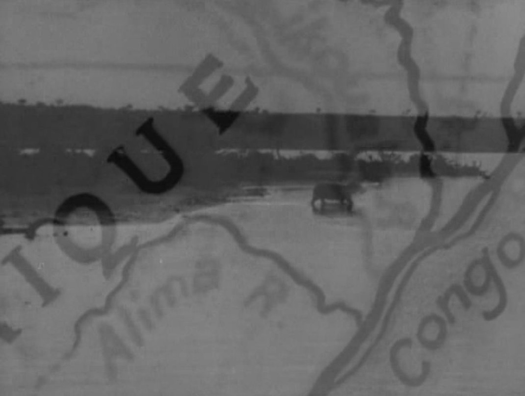
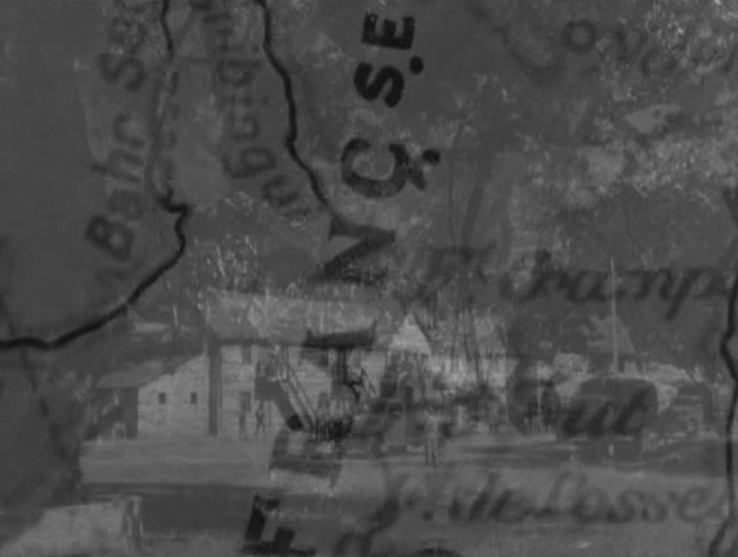
Frenchman Duvivier's 1944 war-effort film was made in Hollywood, and opens with a map expressive of the exile's gloom: France is cast in darkness. The map is closed in on, showing at first only Tours, strangely, then more obviously Paris, before following the line back from Paris to Tours, where the film's first action is set (explaining that town's prominence on the map). From there the protagonist's trajectory is followed South, whence he will eventually embark for Africa. As the principal setting of the ensuing action, West Africa is on all the maps we then see. Most are in the mise-en-scène, though one is a cinemap tracing the protagonist's movements. (In its movement northwards it reverses the trajectory of the film's opening cinemap.) 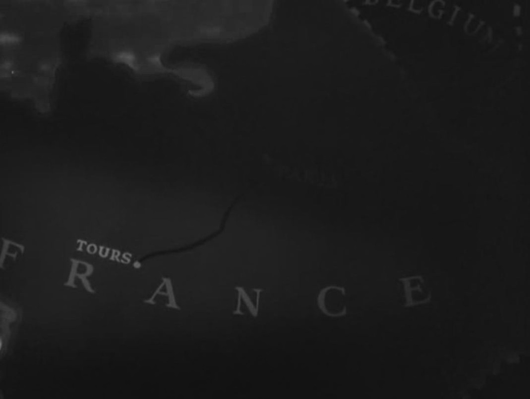

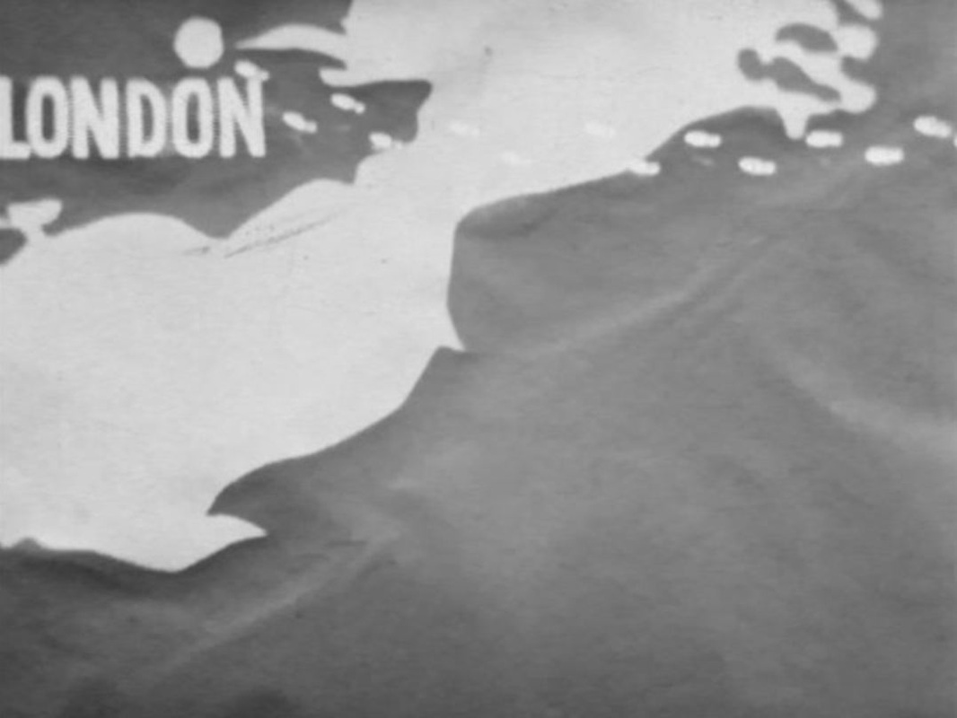
 Baier's road movie goes from Lausanne to Warsaw, a journey imagined by the protagonist firstly as a variant of Sutter's journey from Switzerland to California, as related by Cendrars in his novel L'Or: 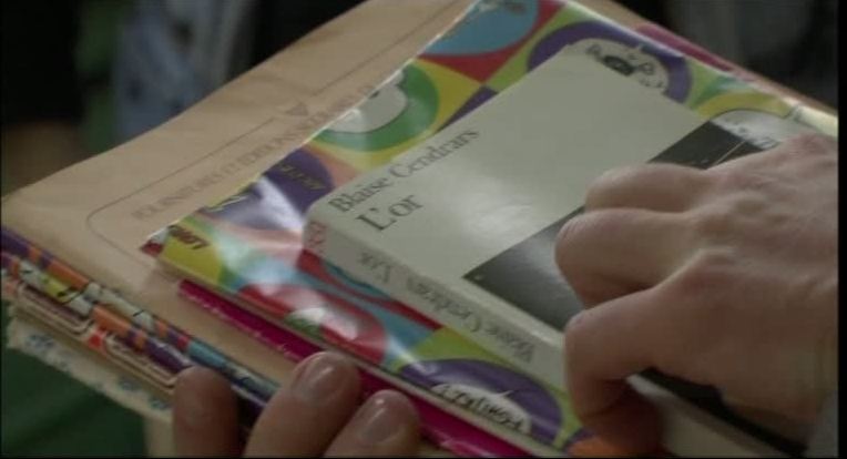 He imagines the landscape of Sutter's destination as he sits in a meeting beside a map, and then superimposes the flag of Poland onto that landscape:   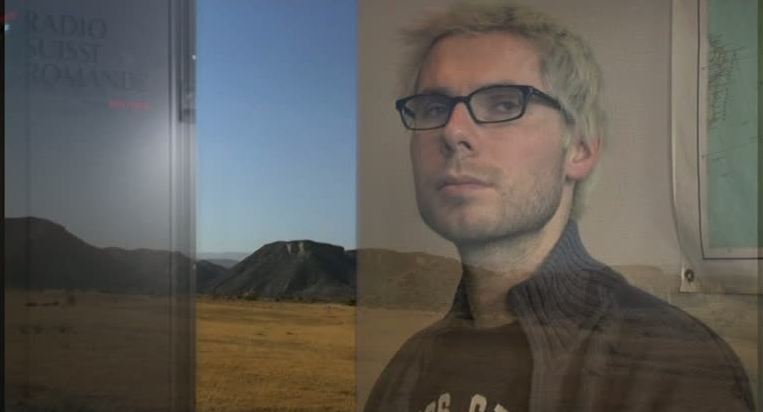 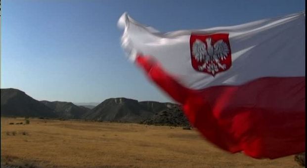 His preparations for the journey include buying histories of and guides to Poland, and a friend's gift of a copy of Cendrars's novel in Polish: 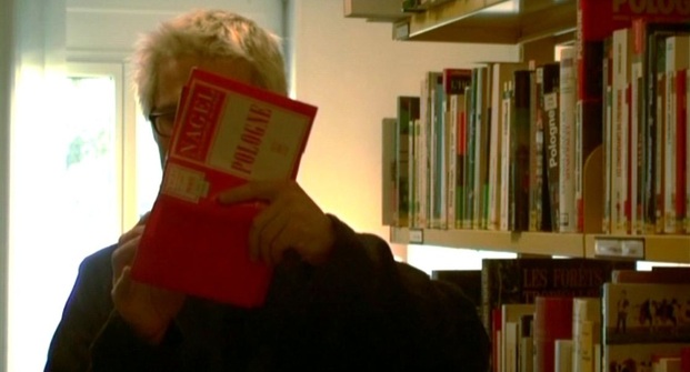 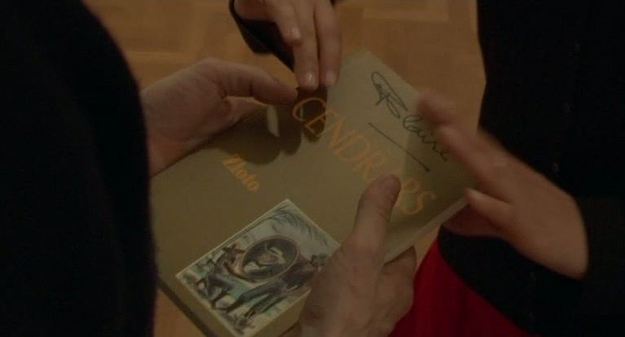 At the end of the film we are shown that In the margins of this copy he has made personal notes, and drawn onto a blank page a map of his journey: 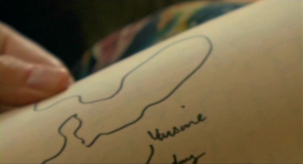 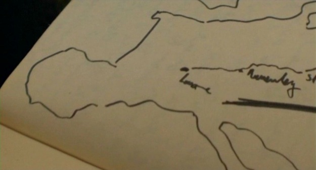 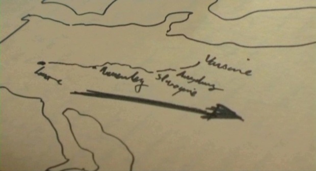  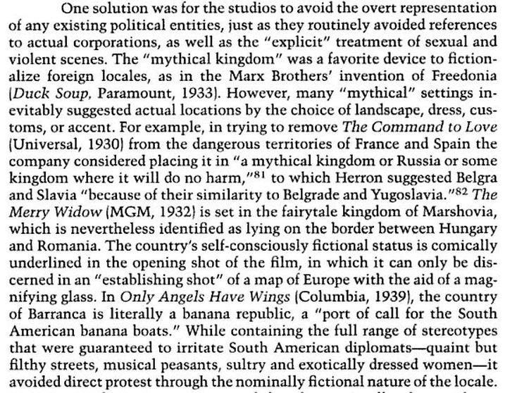 Ruth Vasey, ‘Beyond Sex and Violence: “Industry Policy” and the Regulation of Hollywood Movies, 1922-1939’, in Matthew Bernstein (ed.), Controlling Hollywood: censorship and regulation in the studio era (London: The Athlone Press, 2000), p.121. 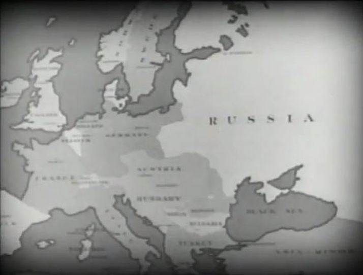 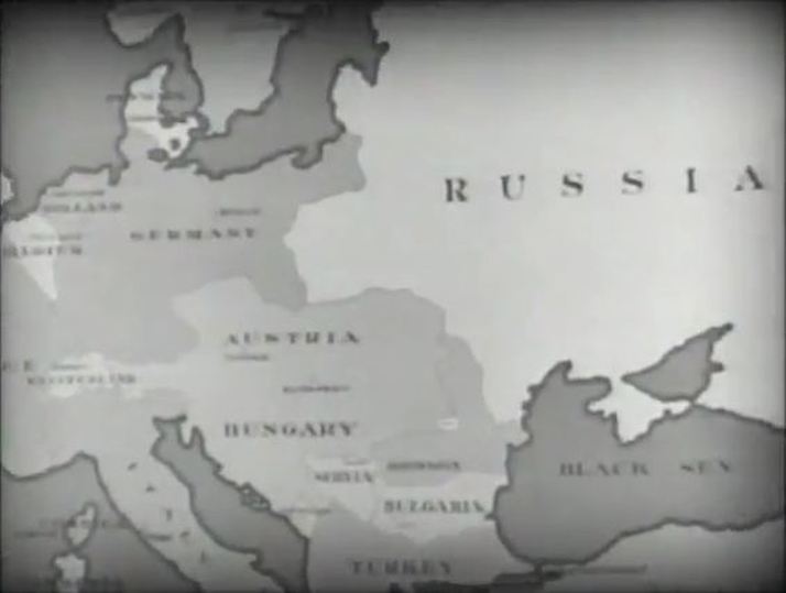 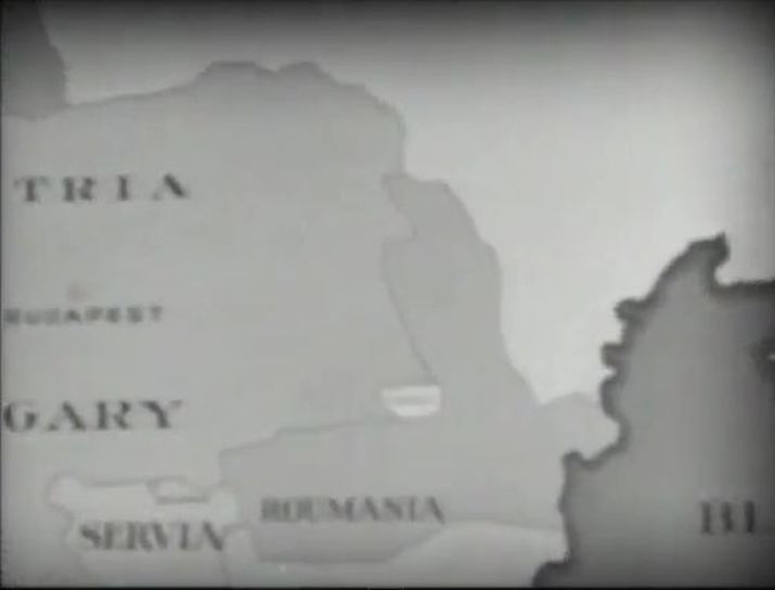 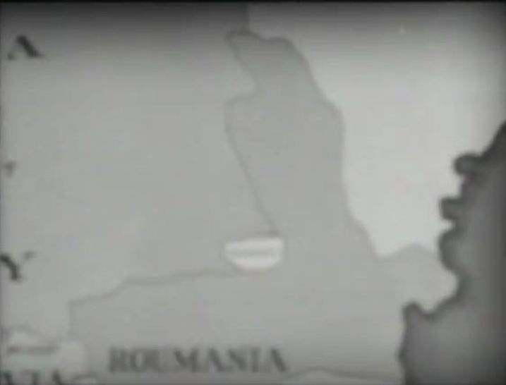 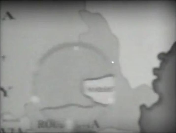 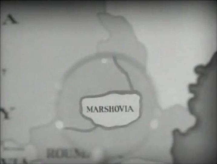 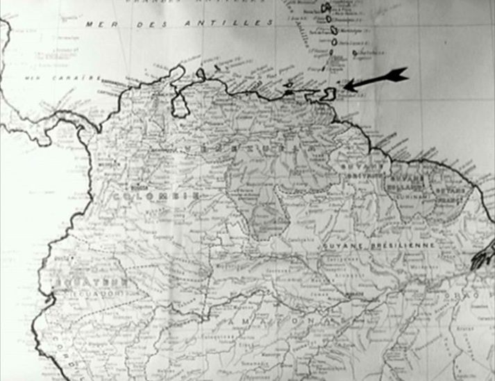 A pan across the Atlantic brings us from Europe to the habitat of the film's principal subject, desmodus rotundus or the Common Vampire Bat. The map has been modified by hand to emphasise details in the narration: 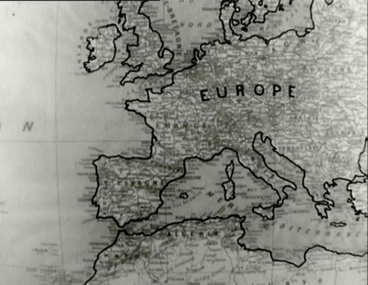 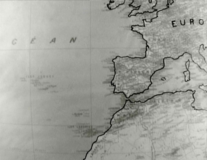 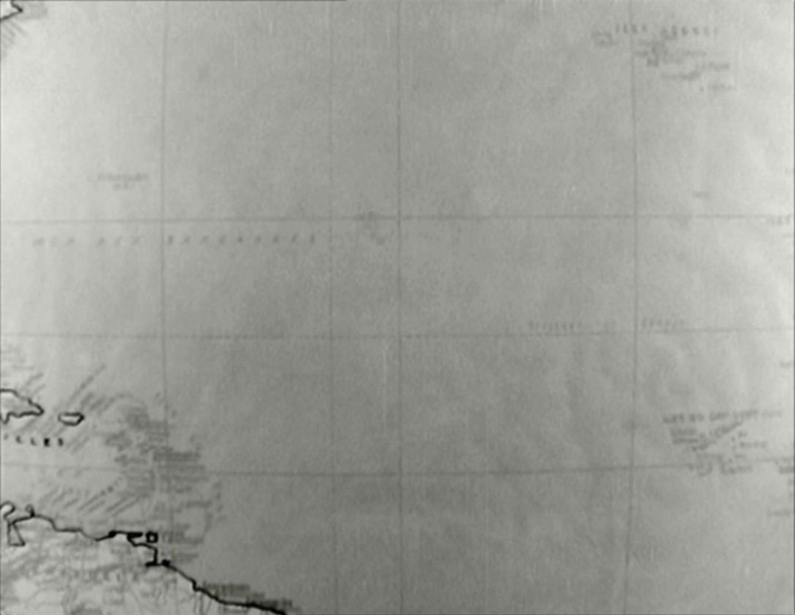 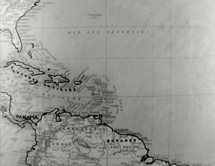 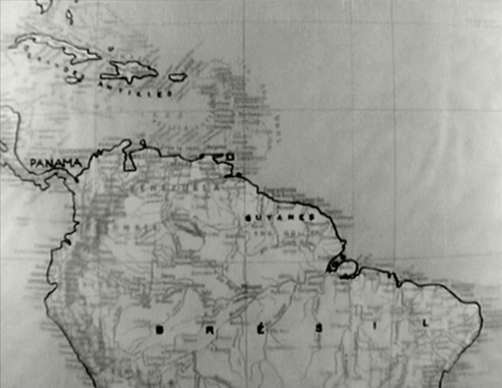 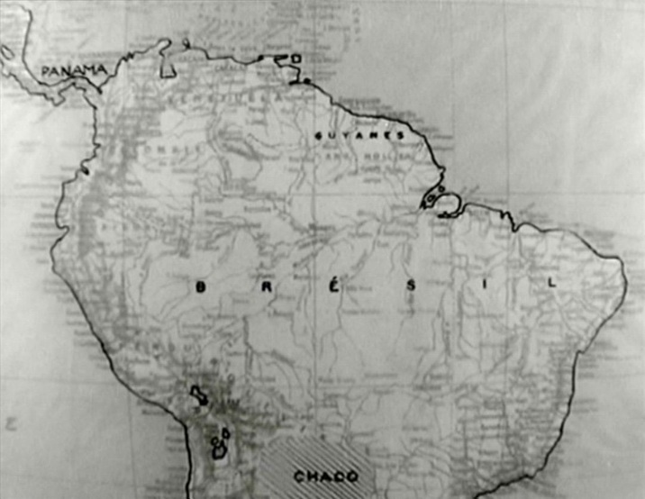 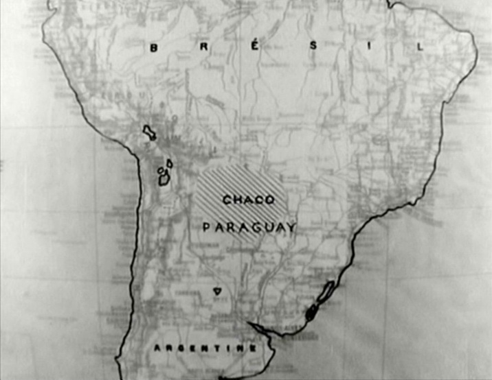 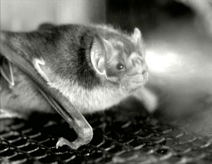 Prior to this the film had referenced non-zoological manifestations of vampirism:   production still Foreign Correspondent is a film that likes to travel, following its protagonist from New York to London, to Amsterdam and back, then crossing the Atlantic, first by plane then by ship. It also enjoys names that are topographically significant or that by their fame carry with them strong topographical associations: the New York Globe, New Scotland Yard, the Carlton, the Savoy, 'Librairie française', Hotel Europe... Every place is signposted, and by displaying place names associated with the outbreak and development of the war, it binds together topography and chronology: 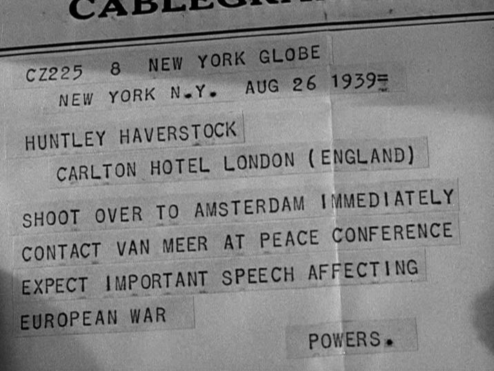 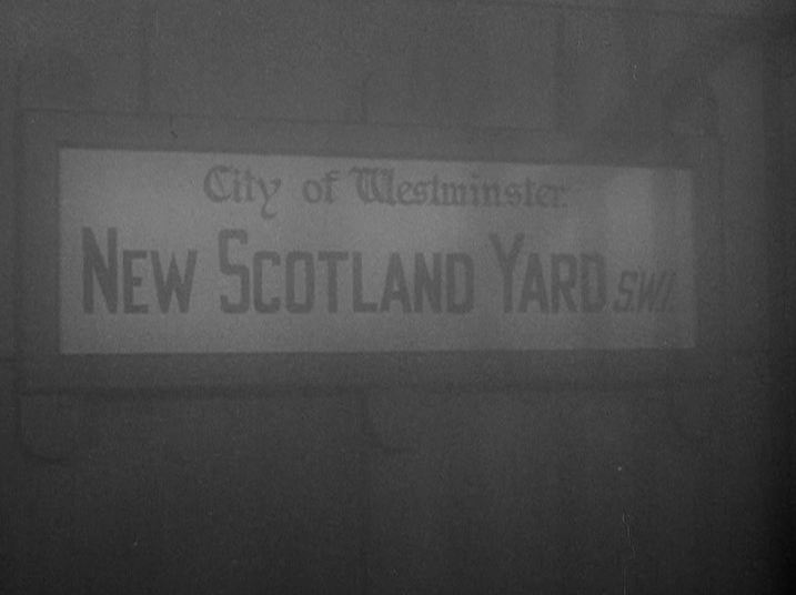  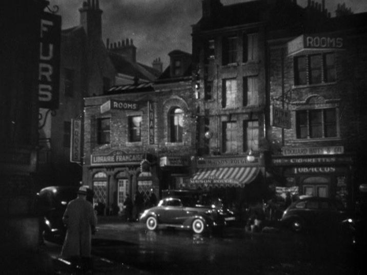 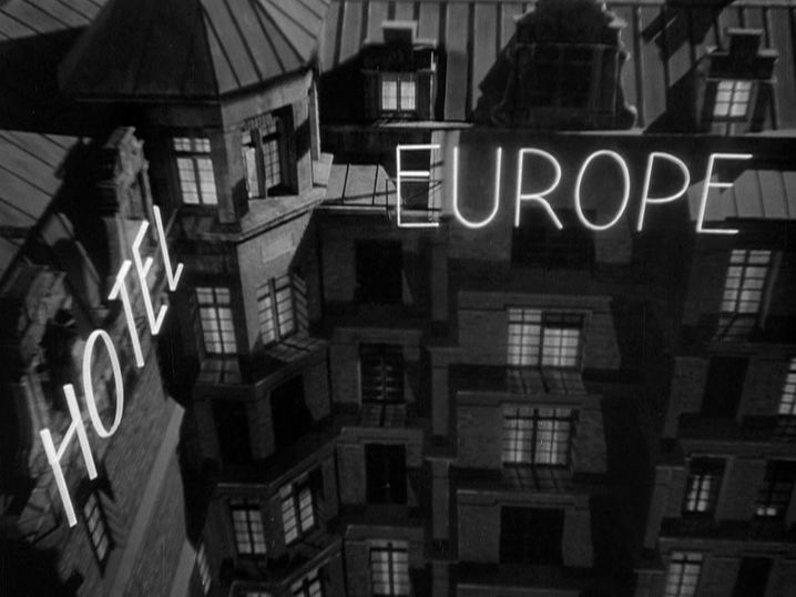  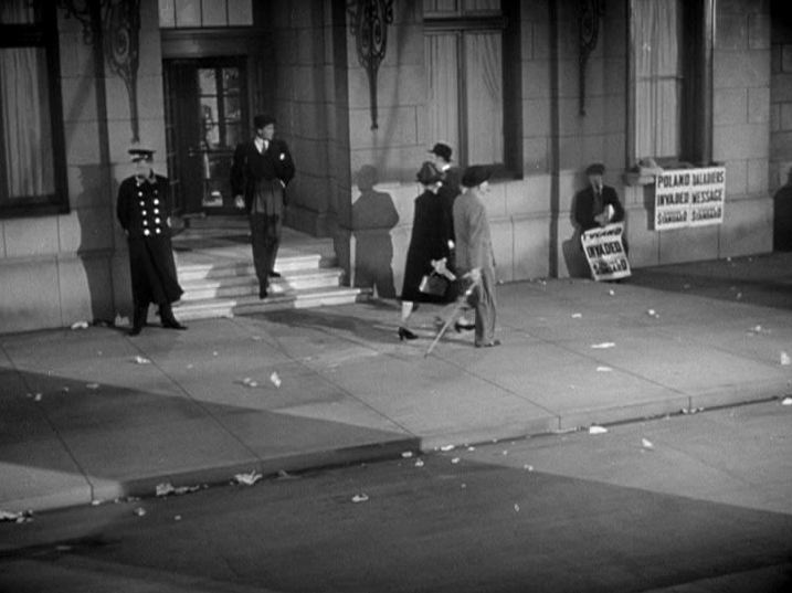    Very little of this work, however, is done by maps, of which there are five in the film. The credits of Foreign Correspondent roll over a stylised, architectural globe that revolves four times, varying the backdrop to the pages of names. The name of the director is positioned over the United States. Since this is Hitchcock's first cinematic contribution to the war effort of the country he has left behind, the strong association of his name and his adopted home might seem tactless - a post to come on this site will look more closely at Hitchcock's relation to England in this film. After the credits the camera pulls away to reveal that the globe is not an extradiegetic, prefatory emblem but an integral part of the mise-en-scène, placed atop a high New York building into which we will pass, via a window, to discover the beginnings of the story. 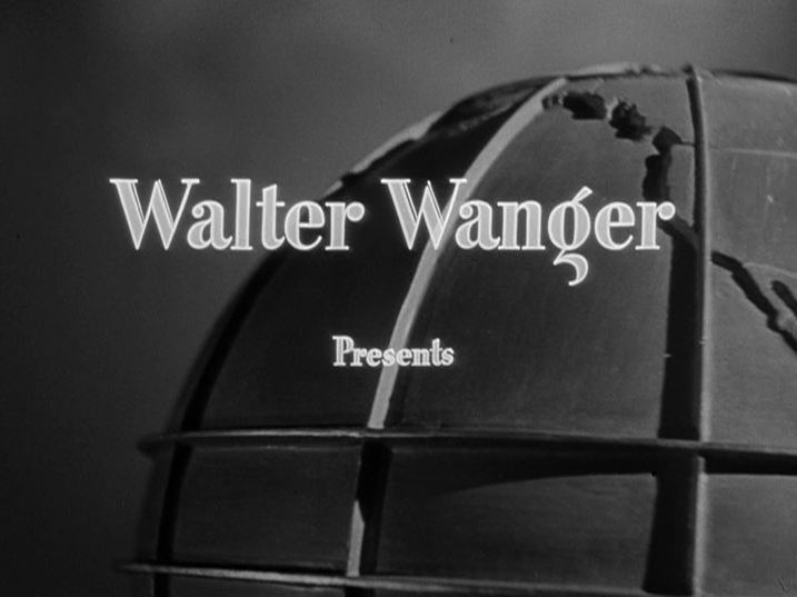 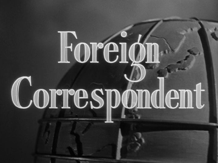 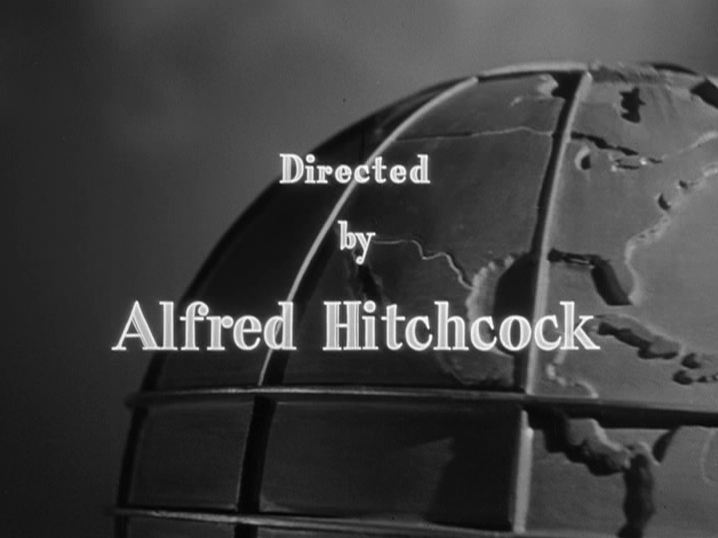 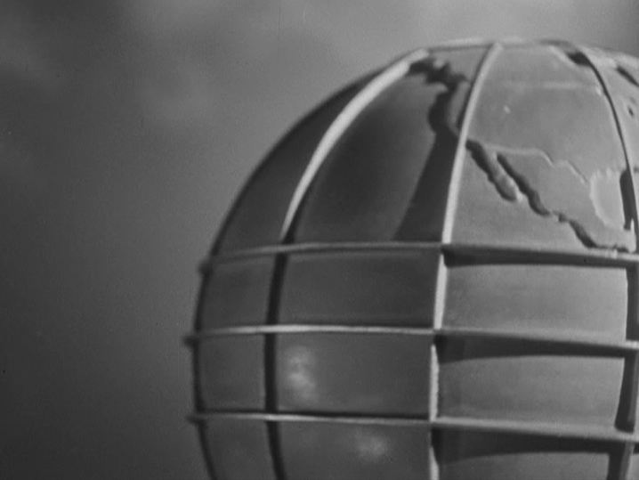 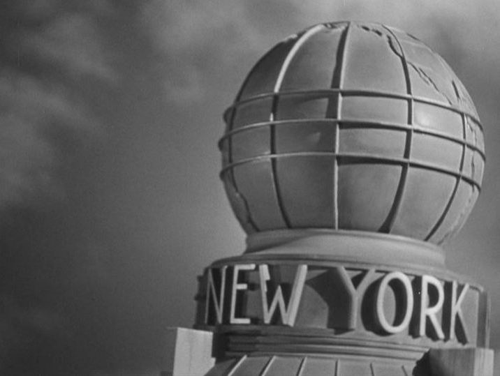 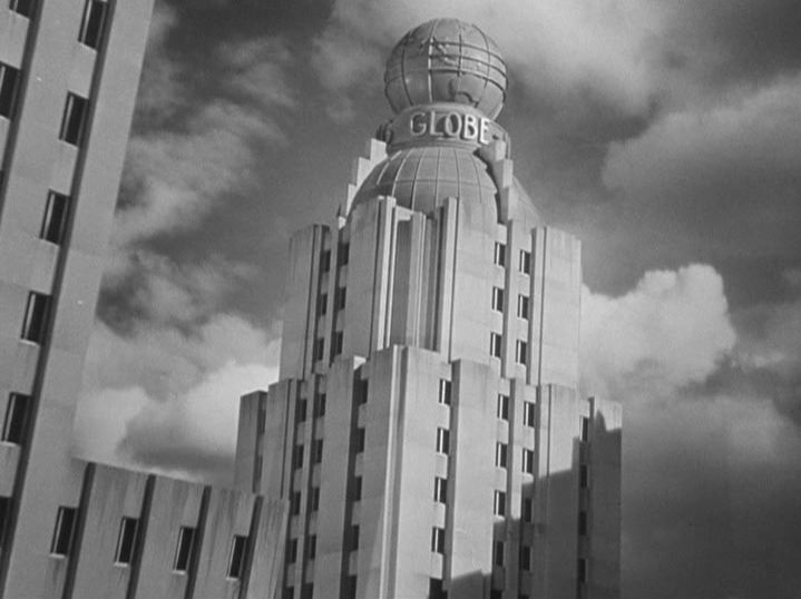 The film's other four maps are less artificially integrated into the space of the story. Three appear as establishing décor of the New York Globe's London office. One of these is only briefly glimpsed in the outer office, and seems to be a world map (though we only see the Asian part): 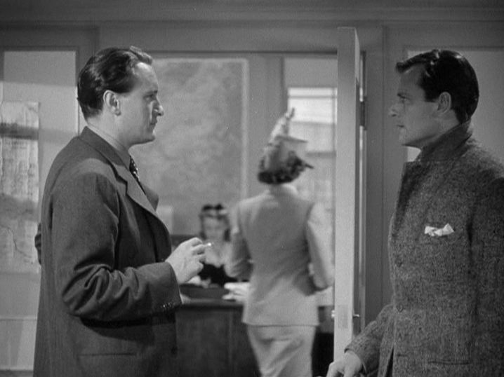 The map of Europe in the office is at first sight even harder to make out, but the focus slowly changes to render it legible. The clearest thing on this map is its label, which functions emblematically, like the 'Hotel Europe' sign: 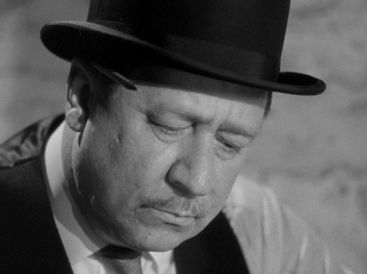 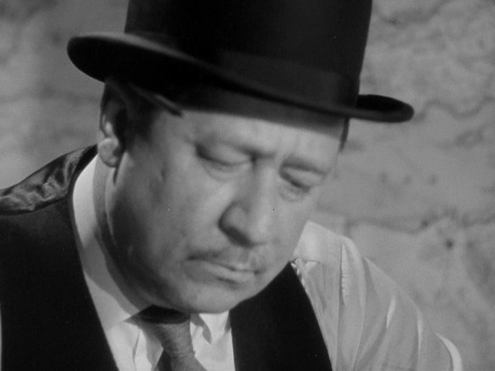 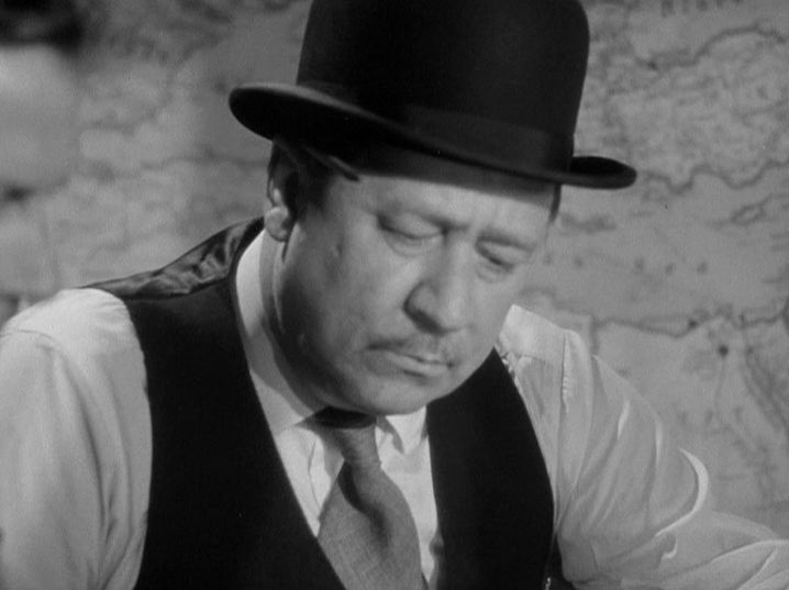   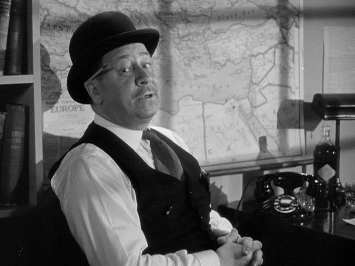 The first places we see on this map - the countries around the Mediterranean - are not connected to the story of the film, but there is a moment in the sequence where a different framing shows the upper part of the map, with England, Holland and the countries invaded by Germany; this more precisely connects the map in the film to the map of the film. It is a brief congruence, as Robert Benchley ('Stebbins') immediately stands up to hide again that part of the map, as he puts on his jacket: 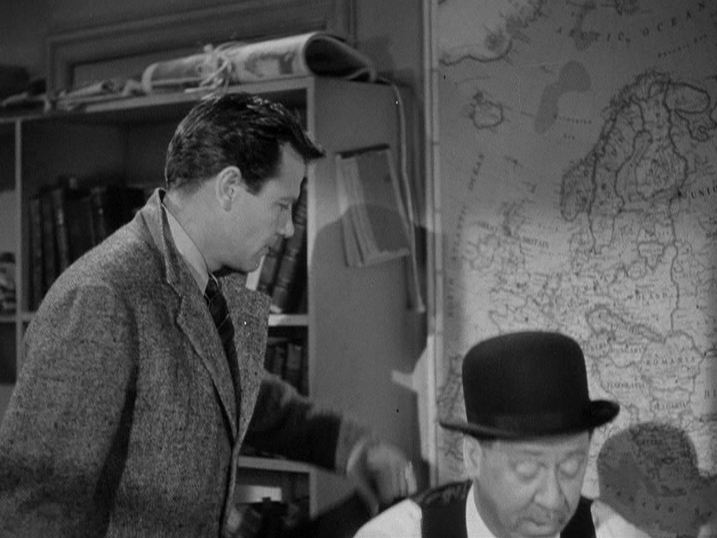  By contrast, across the room is a map which, though clear in its outlines and bearing a partially legible label ('Graphic Summary ****** Activity'), is impossible to identify (for me at least - any suggestions as to what kind of map this is, and as to the place mapped, would be most welcome). It doesn't seem to carry into the film any meaning other than the (ironic) suggestion that the work done by Stebbins in this office requires a degree of topographical exactitude: 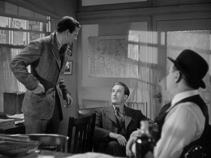 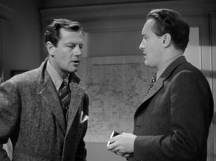 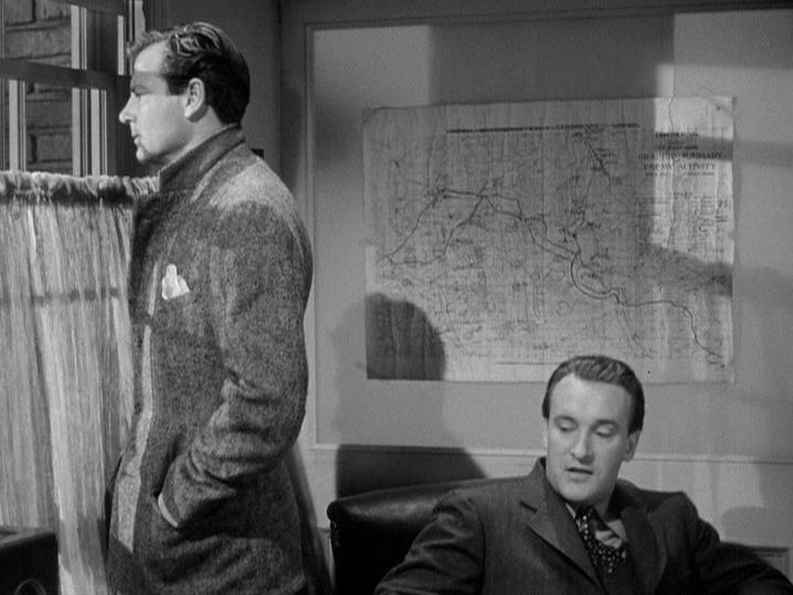 The last map in the film is aboard ship, and functions again as establishing décor: it shows the sea between Wales and Ireland. In this sequence we are given a precise location ('300 miles off the coast of England, latitude 45'), but that cannot be somewhere in the Irish Sea. The sea on the map serves, more loosely, to contrast topographic and cinematic modes of representation - to the advantage of the latter, of course. 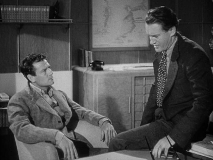 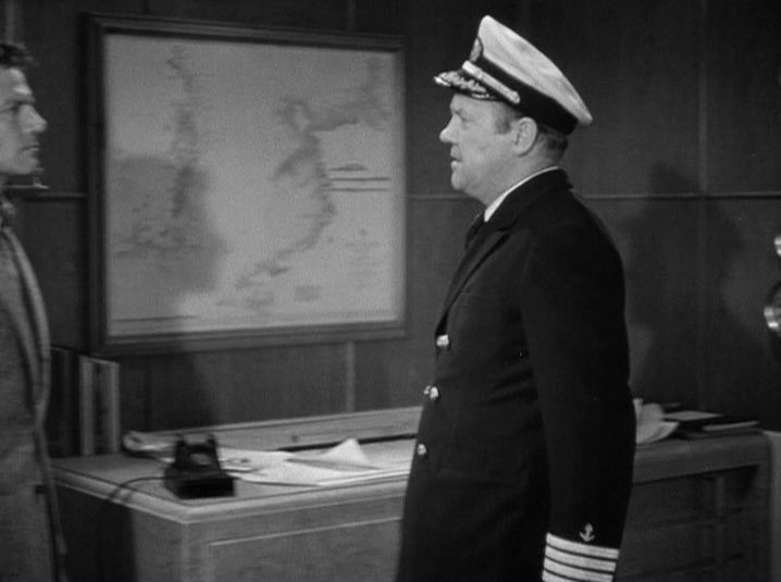 A more developed reading of the places in Foreign Correspondent will appear on this site soon. Hopefully by then I shall have learnt more about the mysterious 'Graphic Summary' map.
 Zig-Zag, like Rivette's Paris s'en va from the following year, is based on the 'jeu de l'oie'. Ruiz's film is subtitled 'a didactic fiction about cartography'. Taking inspiration and materials from a map-related exhibition at the Centre Pompidou ("Cartes et Figures de la Terre"), Ruiz shows many maps and map-like figures. The film ends with the injunction: 'To know more, visit the exhibition.' 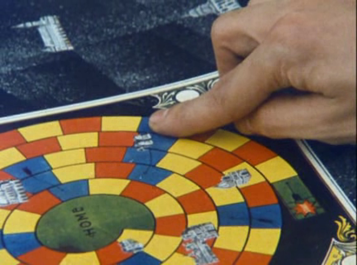  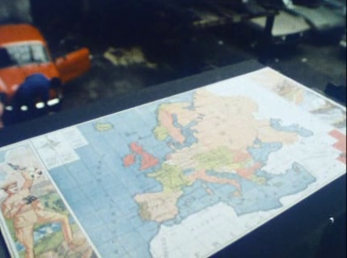    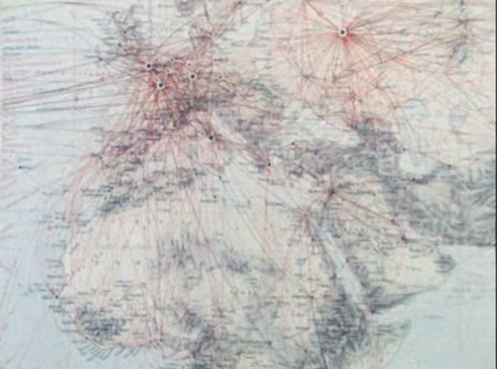 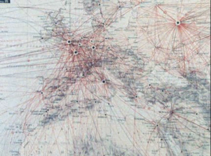 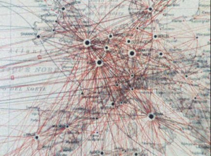 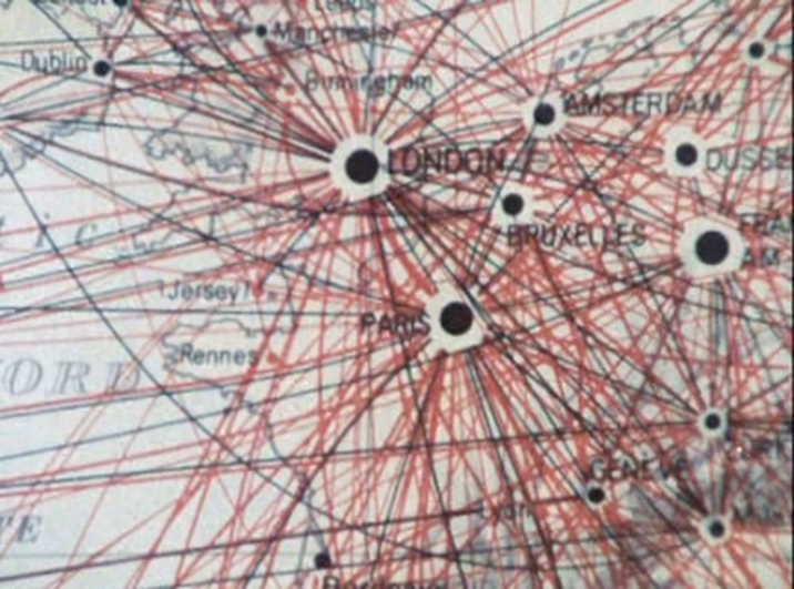            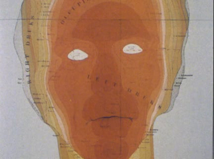 See here for the excellent analysis of spatial machinery in this film, at the site (e)space & fiction.
For a discussion of Ruiz illustrated with several maps, see Jonathan Rosenbaum's 'Mapping the Territory of Raúl Ruiz' here. For a precious assemblage of links in memory of Ruiz, see Film Studies For Free, 'Double Vision', here.  ‘The head: that represents the park in which this grotto is situated. Inside the head is the province that contains the park. Inside the province is the whole country. Then Europe, then the world. Inside the world, as you know perfectly well, is Europe. The country, the province. And that tiny dot in the middle, you can hardly make it out, that must be where we are.’ The map at the centre of the territory explored in Ruiz's film dissolves slowly into the territory itself: 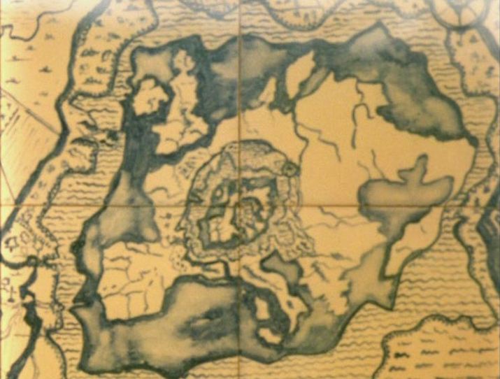       At the end of the film, the head as map motif finds its complement in the emergence of a skull among the stars: 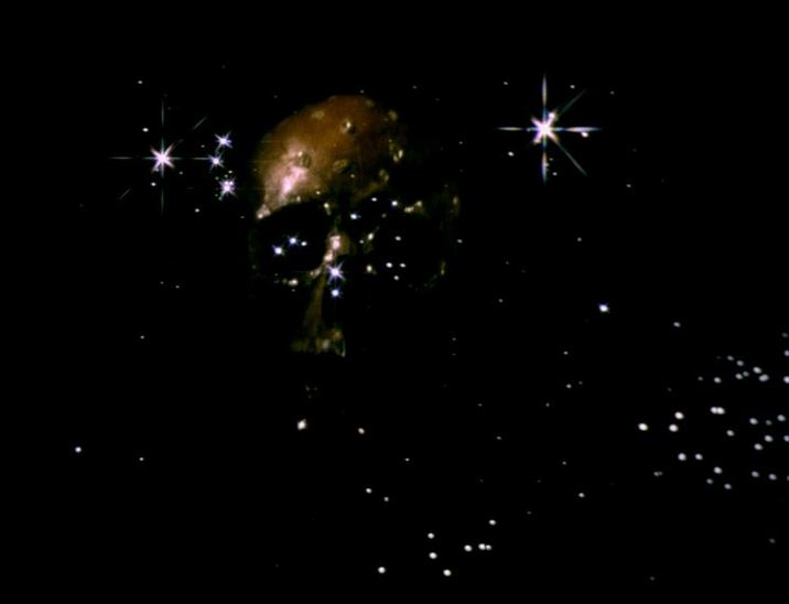 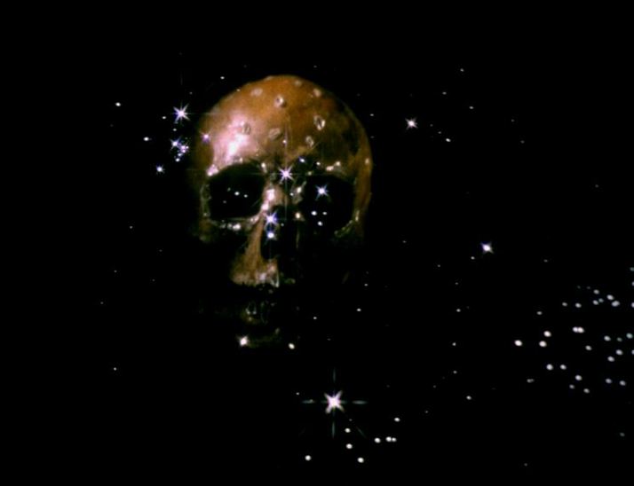 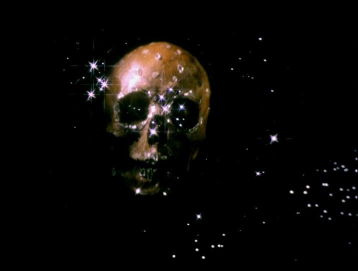 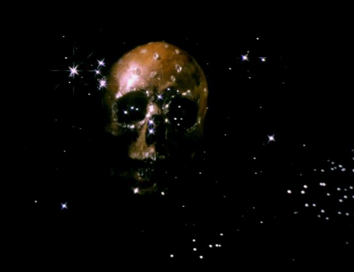 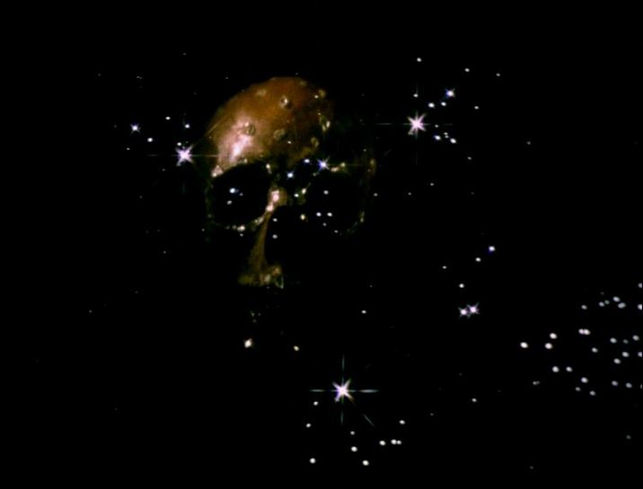  'In the territory or country named "cinema", vicinity creates continuity.'
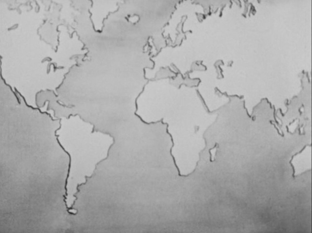
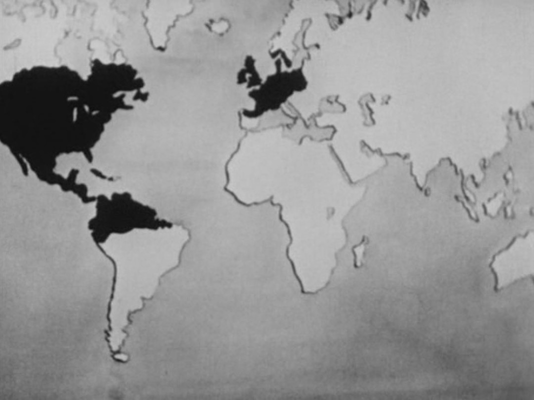
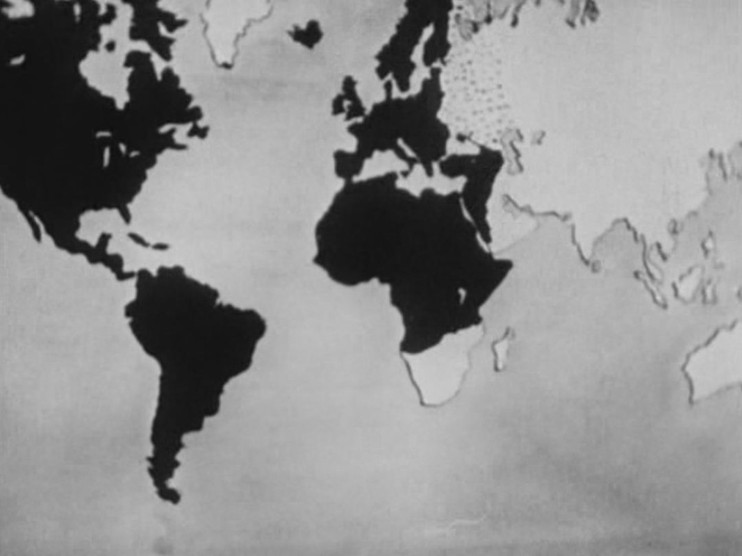
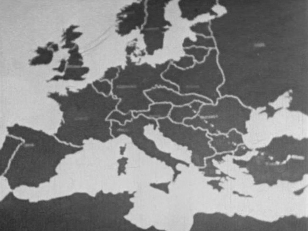
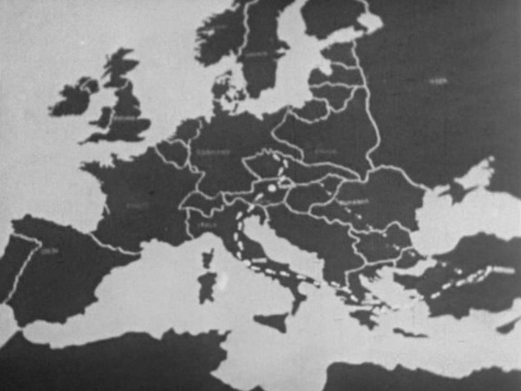
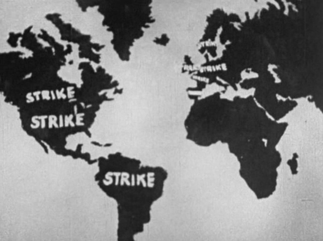
Raúl Ruiz, Poetics of Cinema 2 (Paris: Dis Voir, 2007), p.93. For a discussion of Ruiz illustrated with several maps, see Jonathan Rosenbaum's 'Mapping the Territory of Raúl Ruiz' here. For a precious assemblage of links in memory of Ruiz, see Film Studies For Free, 'Double Vision', here. For the Polaroid camera and photographs in Ruiz's film, see here. 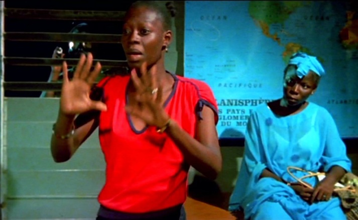 There are two map rooms in Finye. The first, where the student protesters are printing clandestine tracts, has a world map, a map of Europe and another too indistinct to be made out. The world map is the dominant, signifying the students' openness to the world beyond Mali, and framed from different angles to emphasise the variety of perspectives that such openness entails. 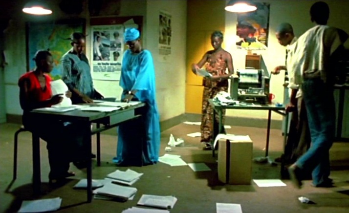  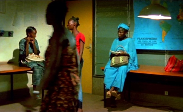 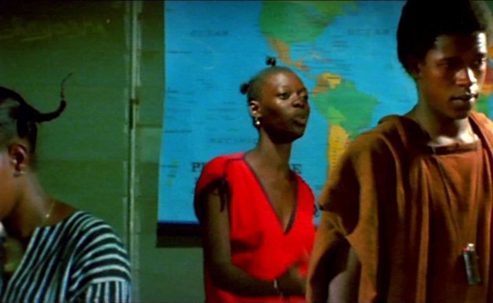 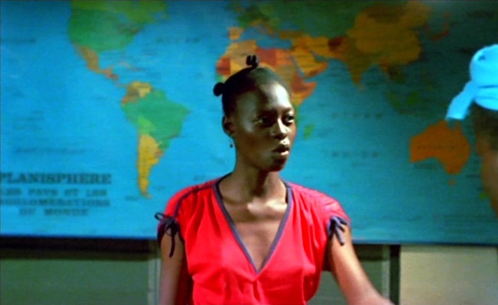 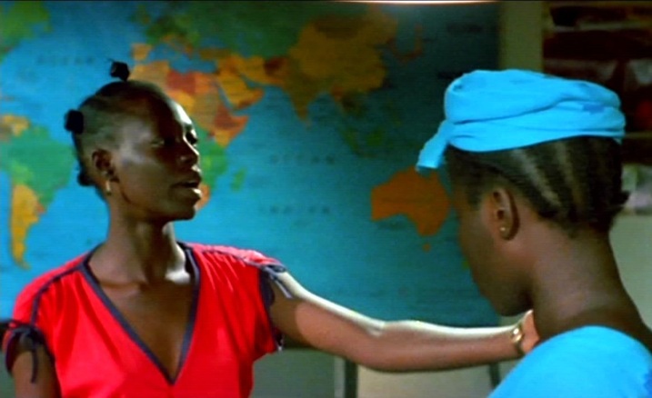 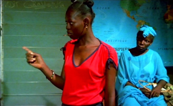 The second, the military governor's office, is dominated by a map of Mali, represented as isolated not only from the world but even from its immediate neighbours, removed from its African context. Within its borders, the country has rivers, a lake, varied terrain and differentiated regions, but beyond its borders there is nothing: 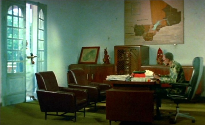 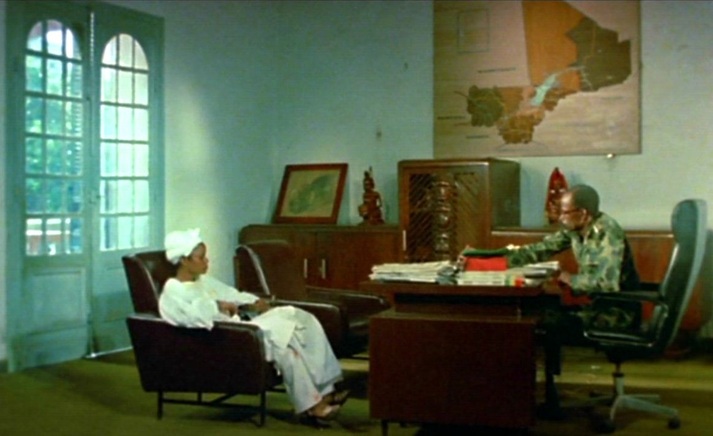 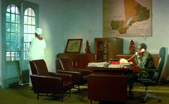 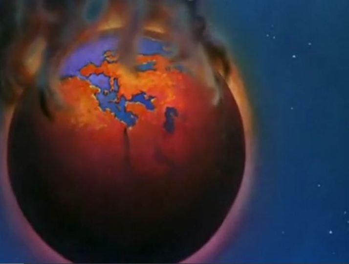 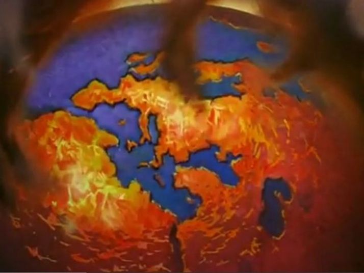 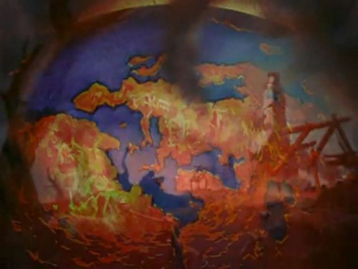  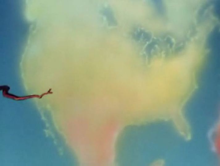 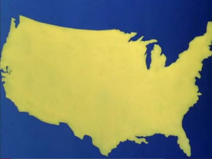 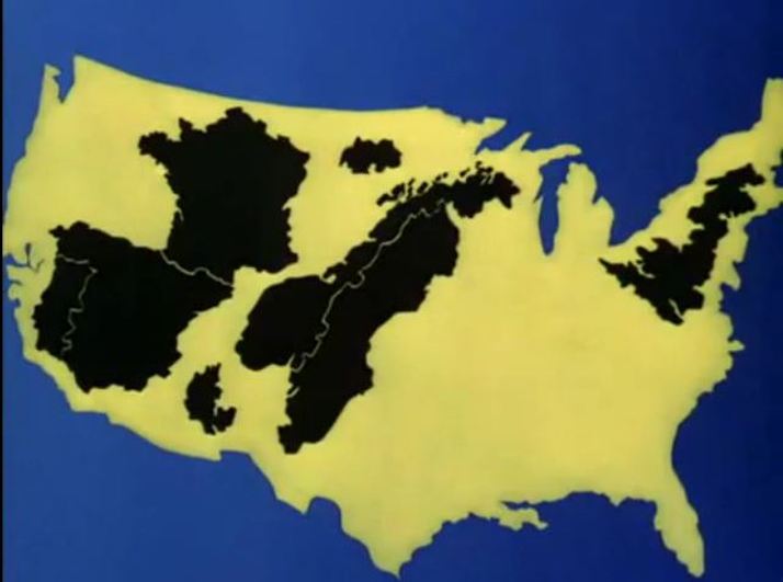 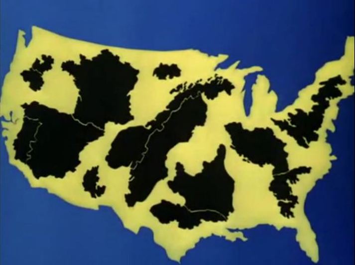 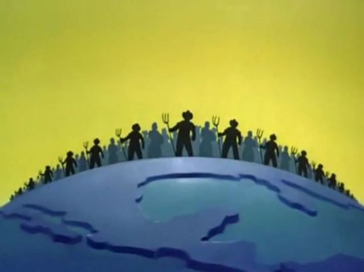  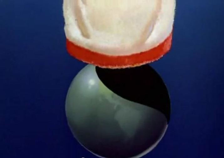 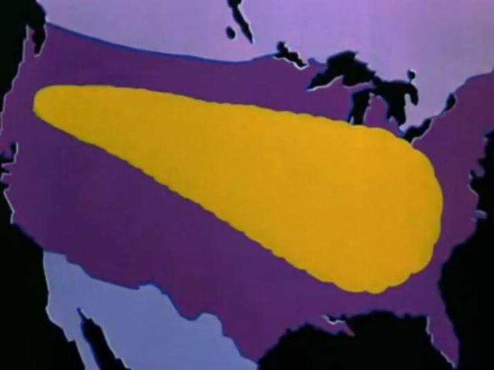 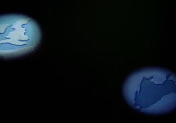 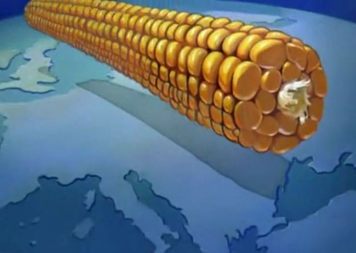      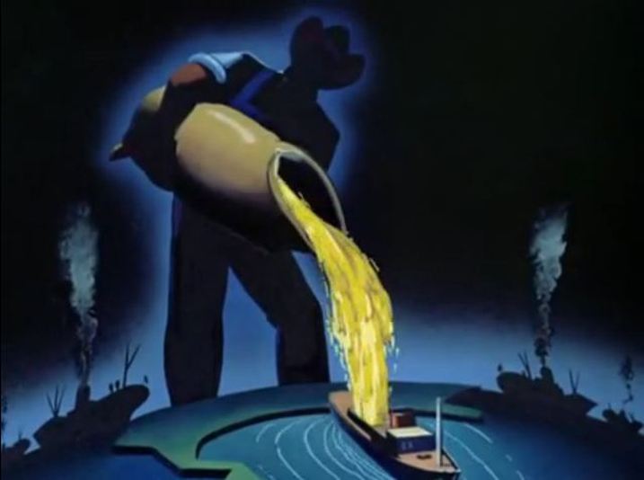 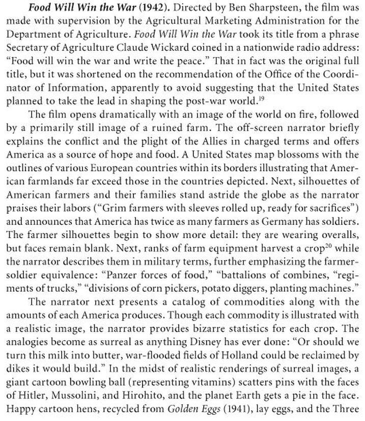 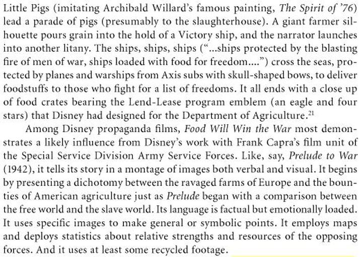 Richard J. Lesowsky, ‘Cartoons Will Win the War: World War Two Propaganda Shorts’, in A. Bowdoin Van Riper, Learning from Mickey, Donald and Walt: Essays on Disney's Edutainment Films (Jefferson NC: McFarland & Co., 2011), pp.46-47. 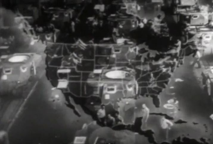 Prelude to War (Why We Fight) (Frank Capra 1942) 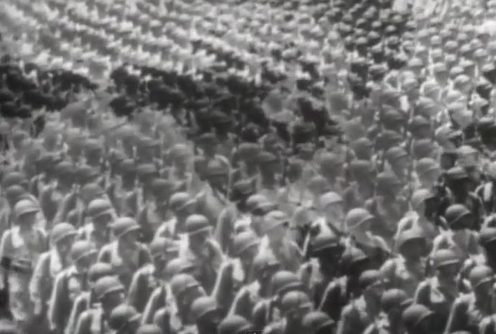 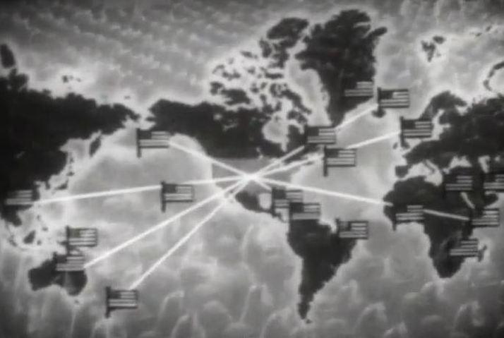 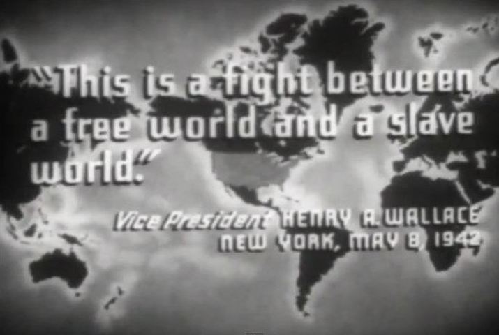 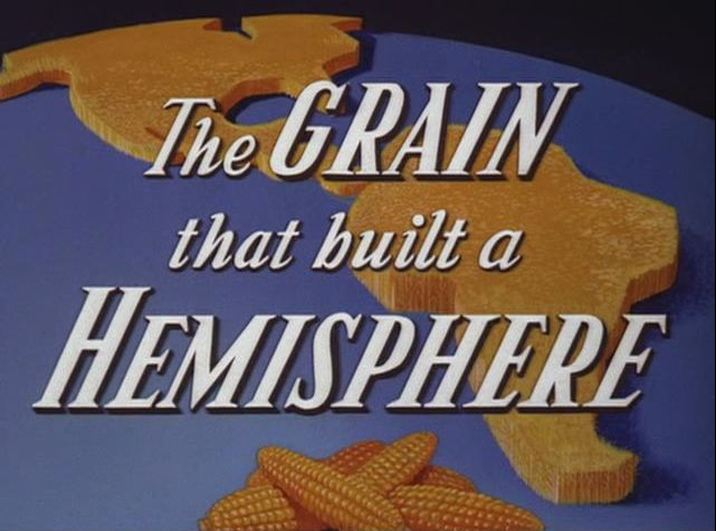 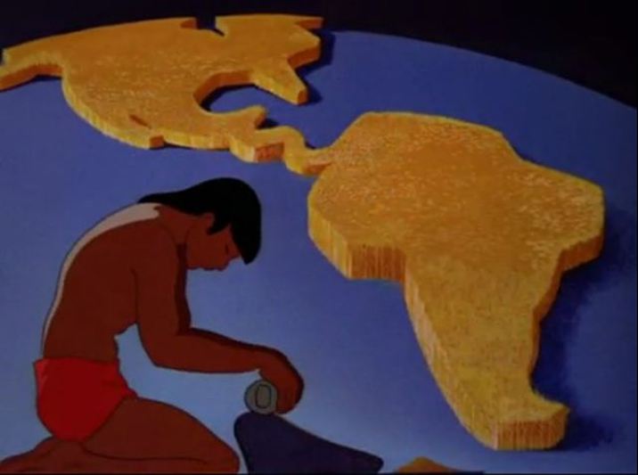  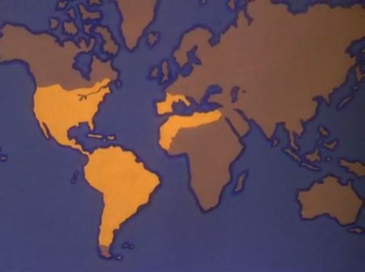 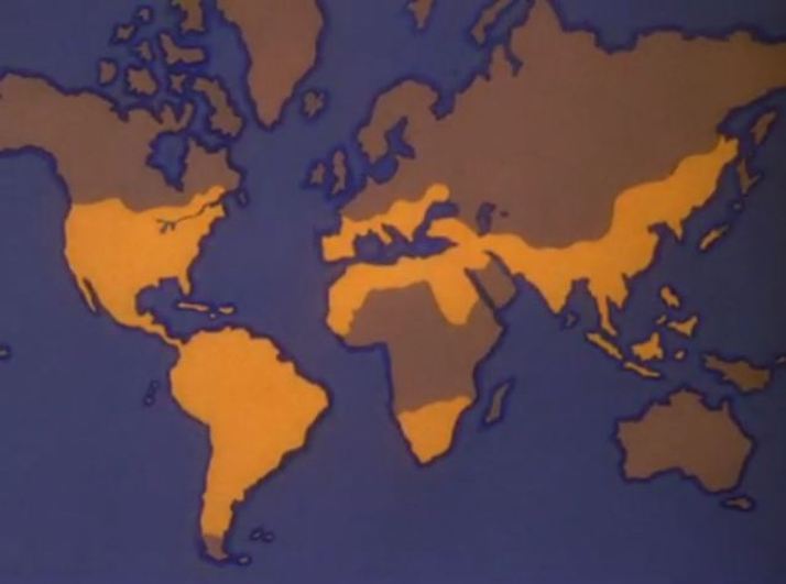 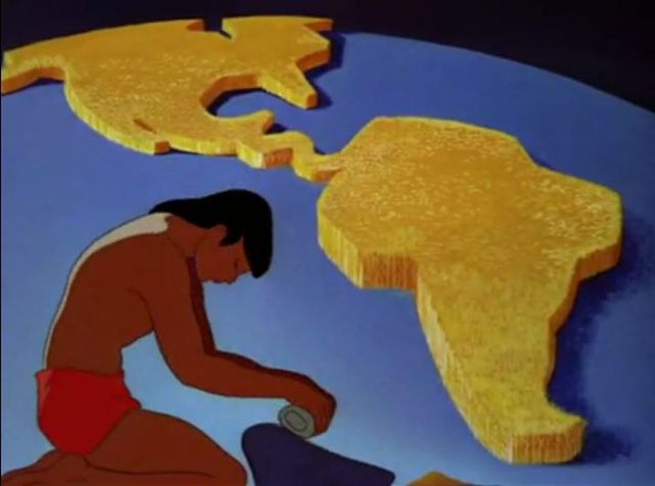   Richard J. Lesowsky, ‘Cartoons Will Win the War: World War Two Propaganda Shorts’, in A. Bowdoin Van Riper, Learning from Mickey, Donald and Walt: Essays on Disney's Edutainment Films (Jefferson NC: McFarland & Co., 2011), pp.47-48.  Food Will Win The War (Disney 1942) 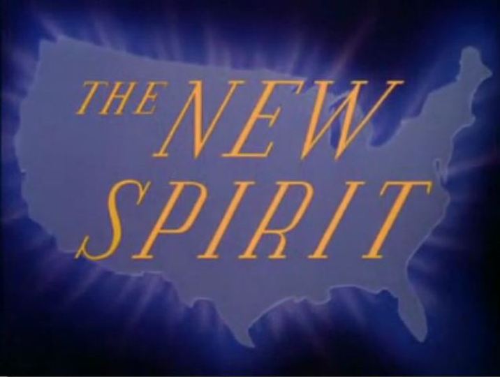 The New Spirit (Disney 1942) 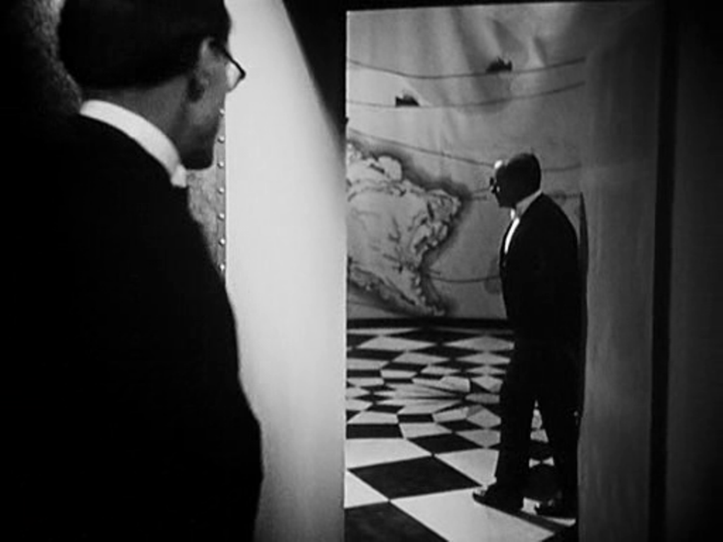   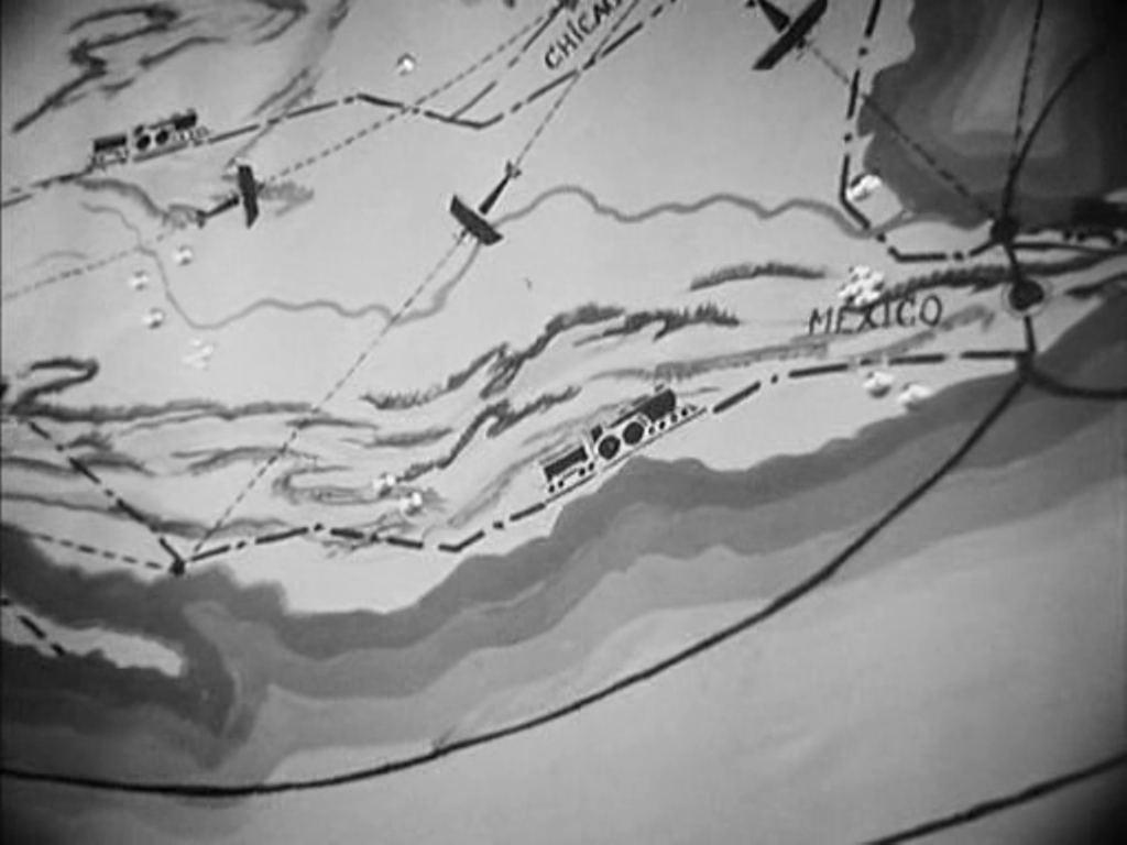 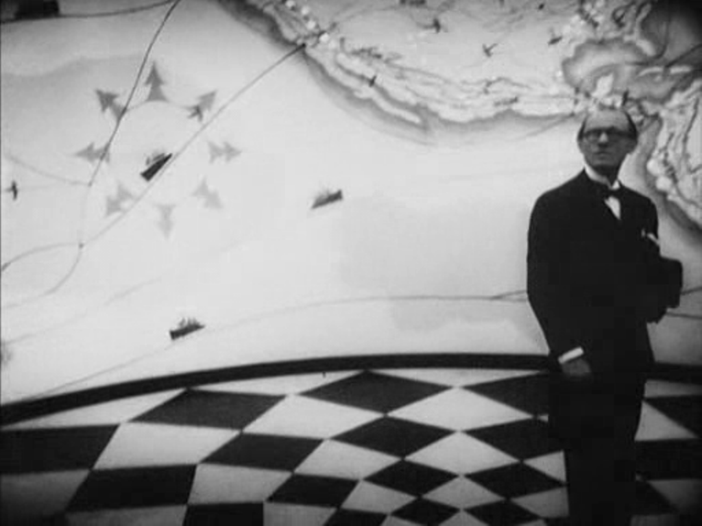 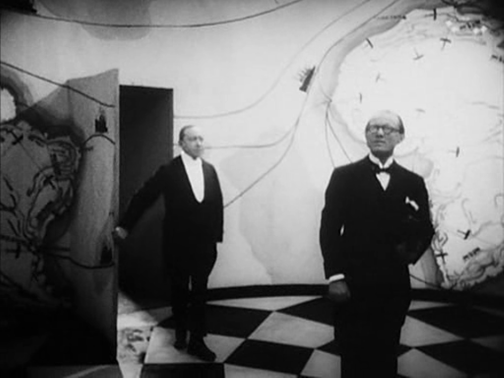 Of the five spaces in which maps figure in L'Argent, the first is the most spectacular. We follow an agent of the banker Gundermann as he is led by a butler into an antechamber decorated to represent the reach of the banker's power. In combination with the cinematography, this mise-en-scène also displays the distorting, disorienting force of money. The second space is more conventional: in their modest apartment. the naive adventurer hero Hamelin and his wife Line examine a map of the Americas, though it becomes a mere backdrop to the expression of their love for each other. 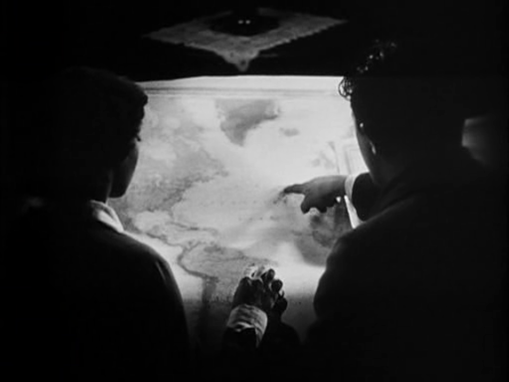    Later, in the same space, Hamelin explains his plans to the banker Saccard, with a view of a more detailed map of the region that Hamelin proposes to exploit for oil. We first see the scene diffusely, in a mirror, before passing to two readable mapshots.   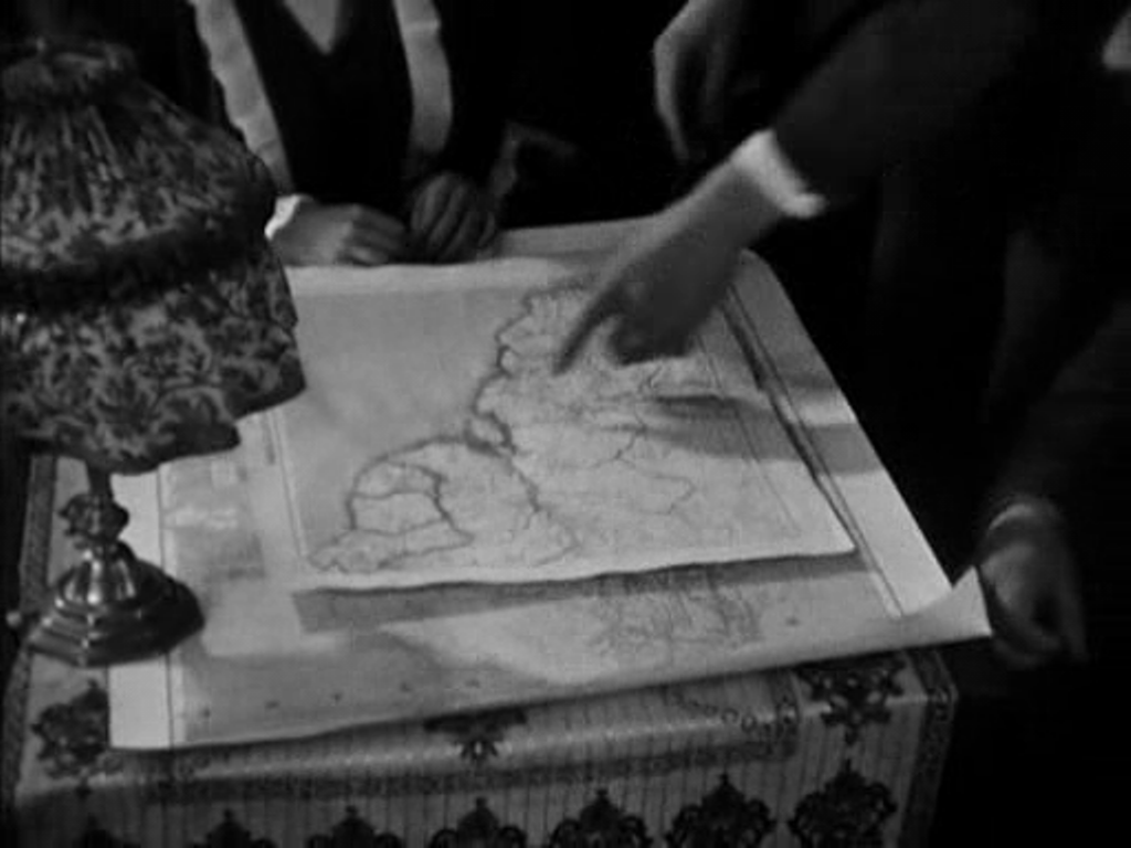 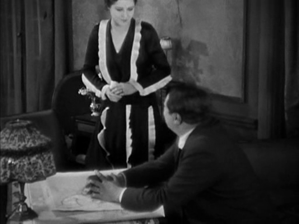 Next, in a room at the airport from which Hamelin will take off on a solo flight across the Atlantic, Line looks on in terror at the thought of the danger he will face. He enters, first seen as a shadow cast over a map of Europe and North Africa, which then becomes the backdrop to their passionate embrace on parting.  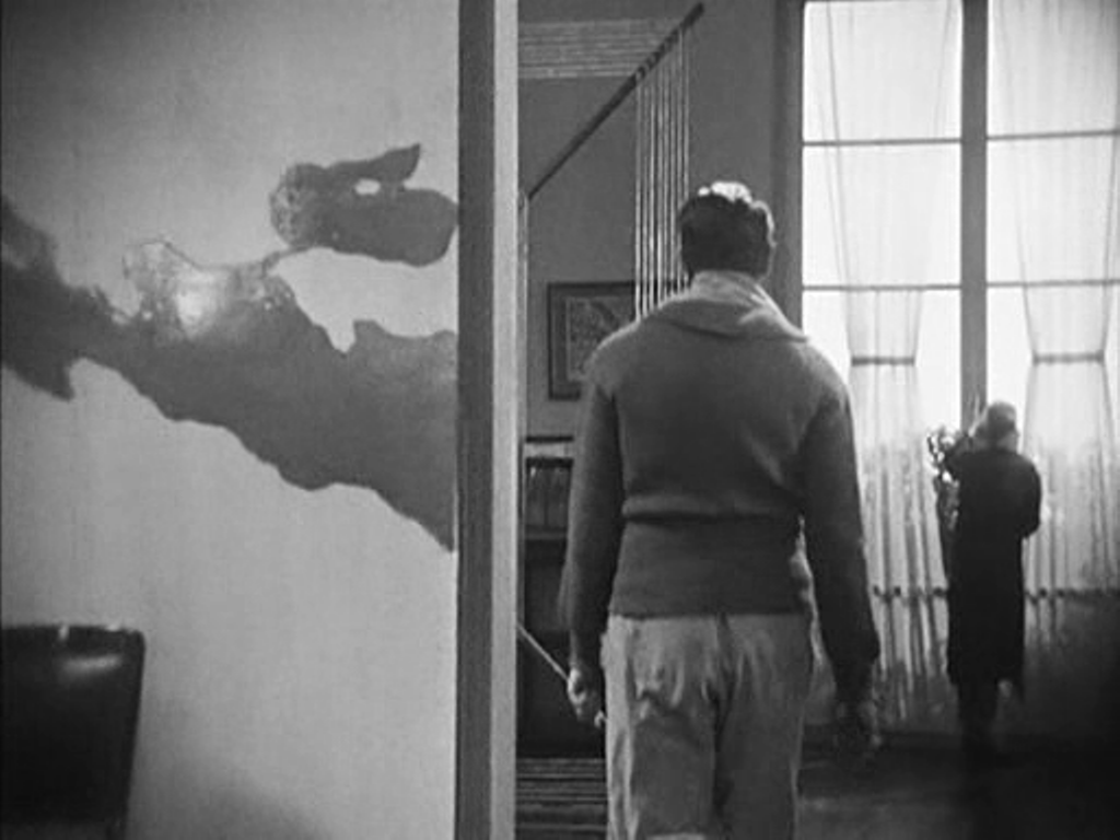 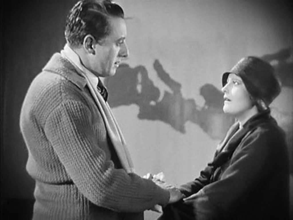 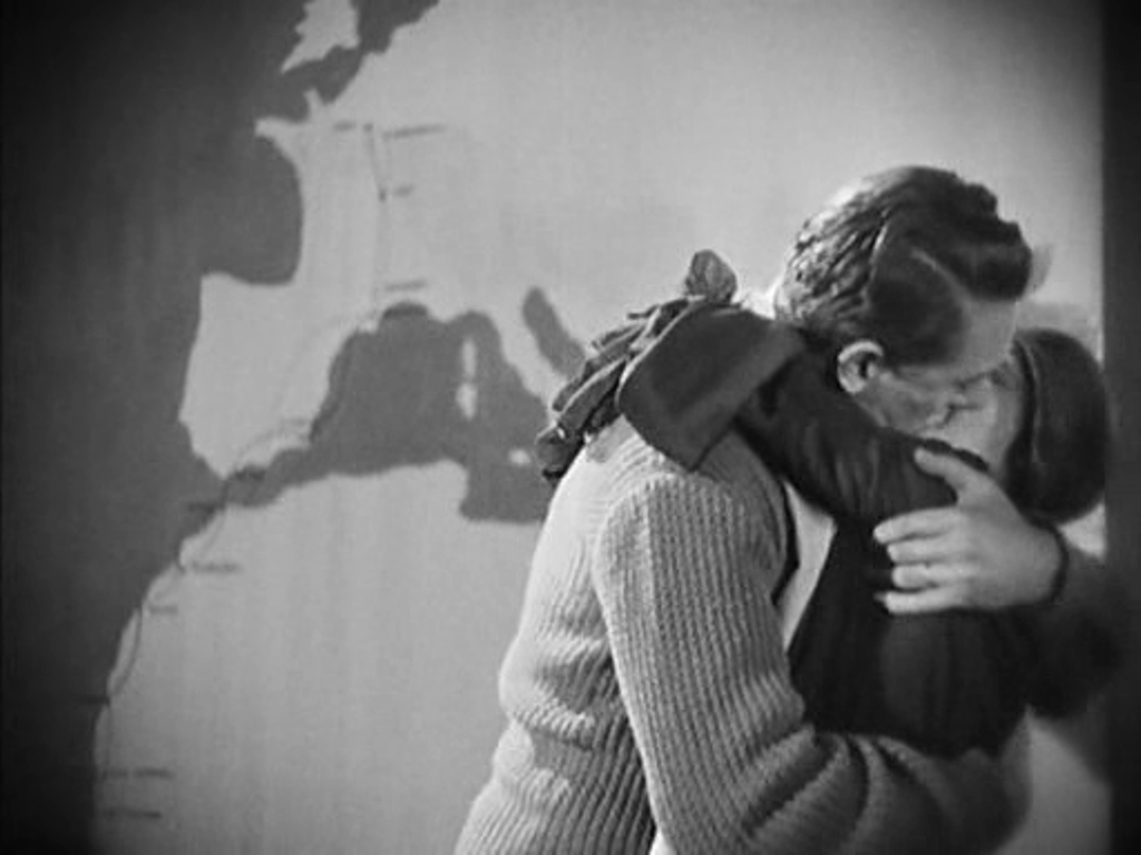 The most often shown space in the film is the banker Saccard's office, dominated by a map of the world. Against this backdrop we see Saccard manipulate markets on a global scale, we see him attempt to seduce Line, and finally we see him arrested for fraud. 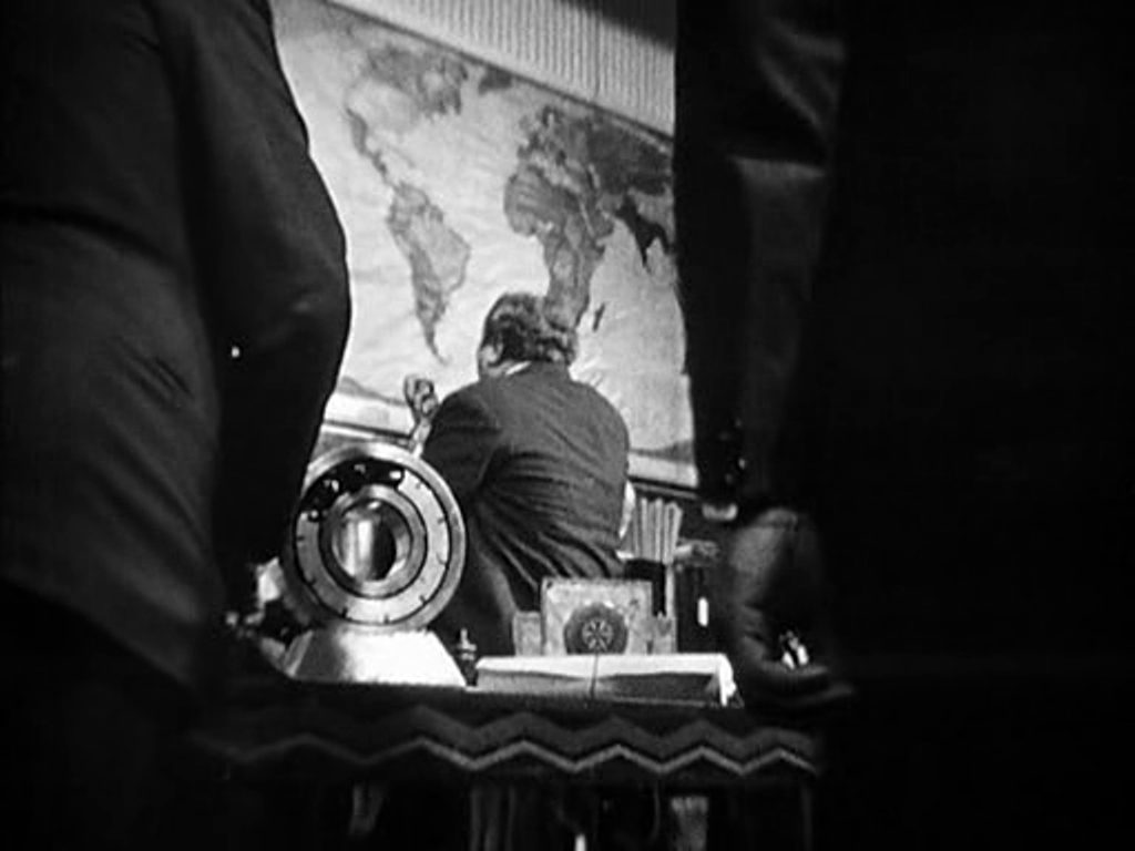 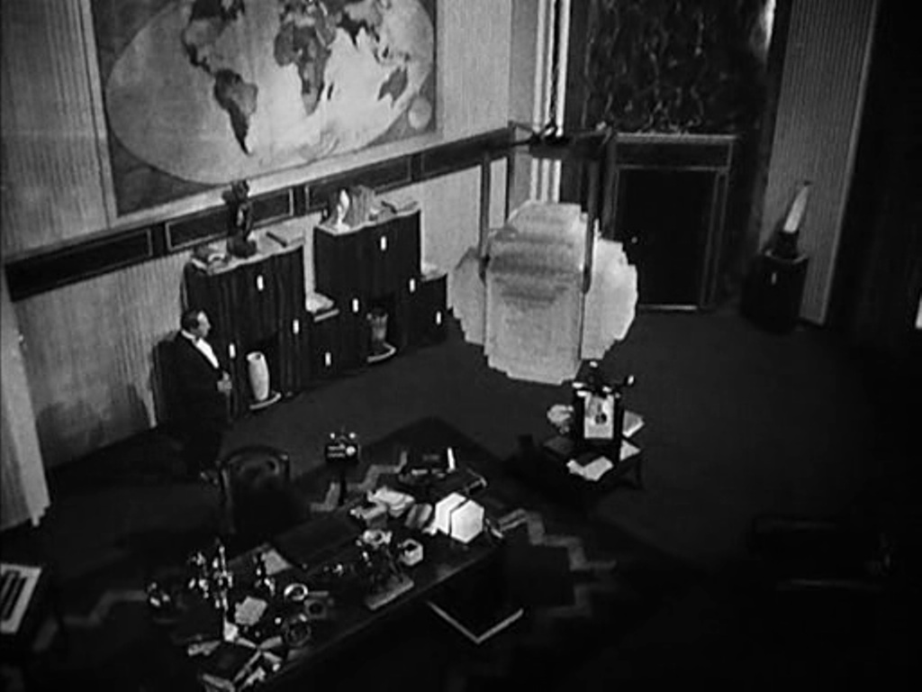 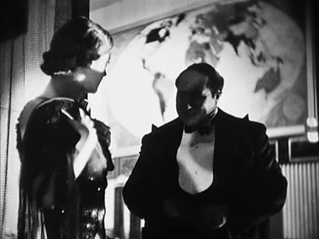 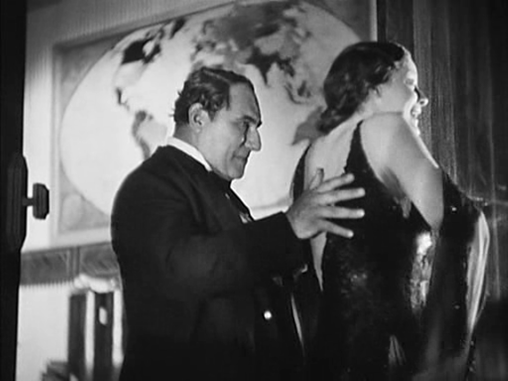 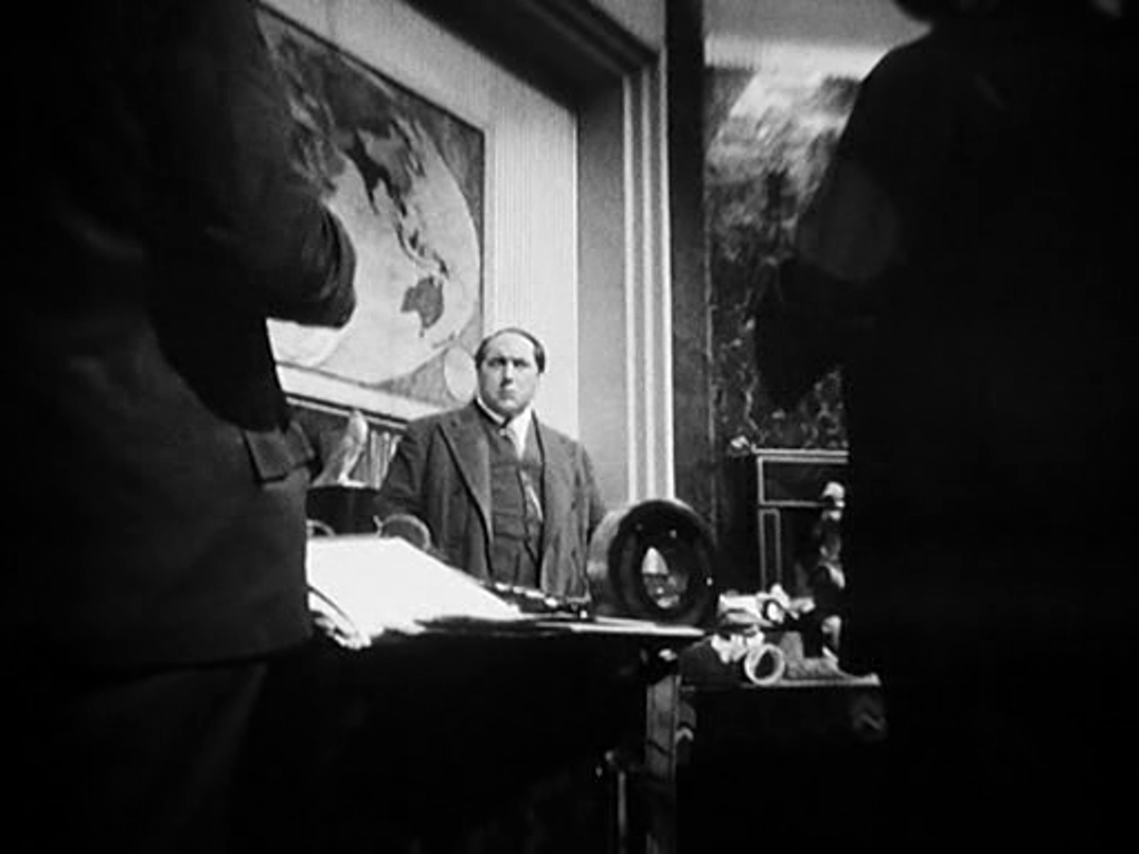  Prior to Saccard's arrest we see Hamelin in Guyana (here with Antonin Artaud as Saccard's secretary). A map on the wall serves as establishing decor, but it cannot compete with the cartographic spectacles on display back in Paris.  Hamelin returns to France and we see two policemen waiting to arrest him in the same room at the airport where he had kissed Line farewell. This time we see more of the cartographic decor, including the west coast of France:  The film's denouement involves Line approaching Gundermann, and we see again, in more detail, his spectacular antechamber:  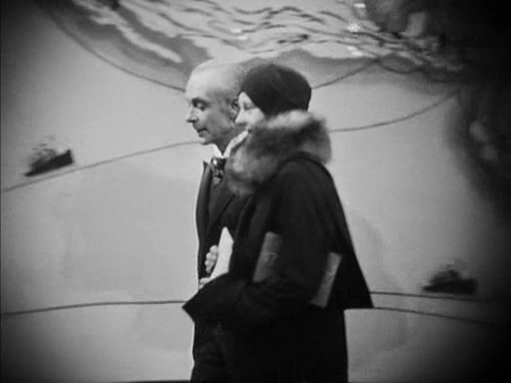 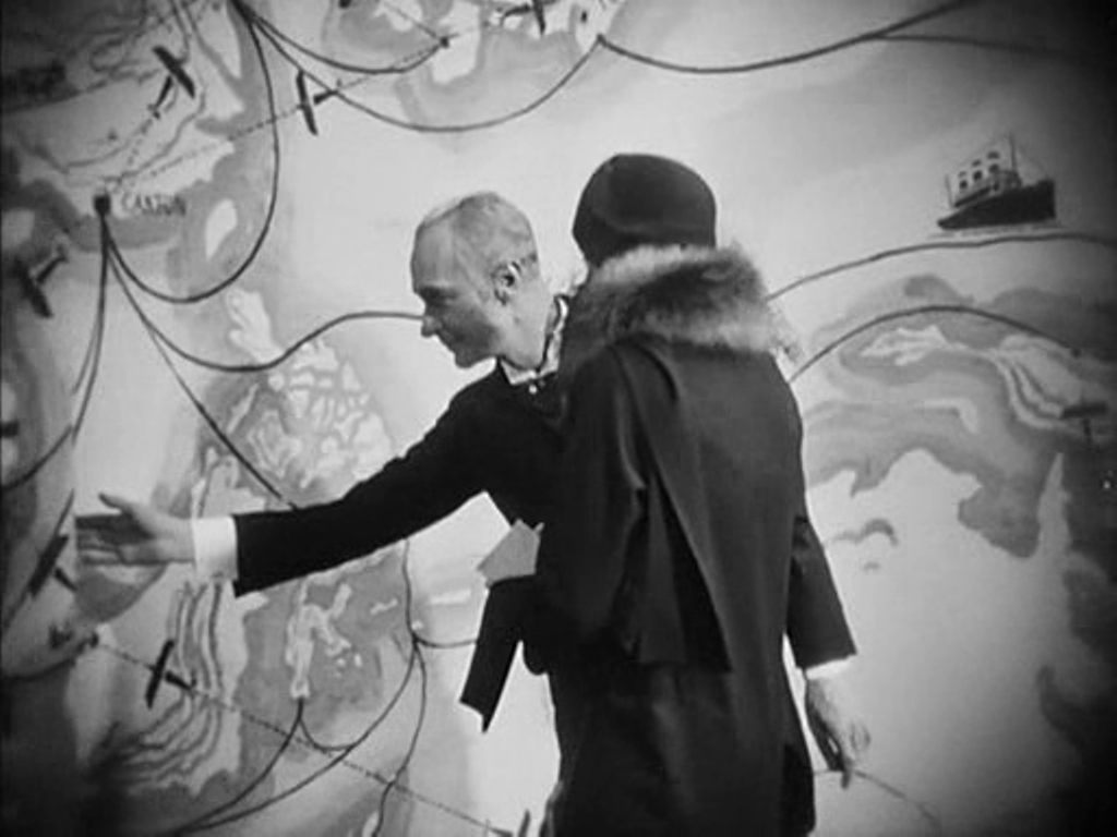 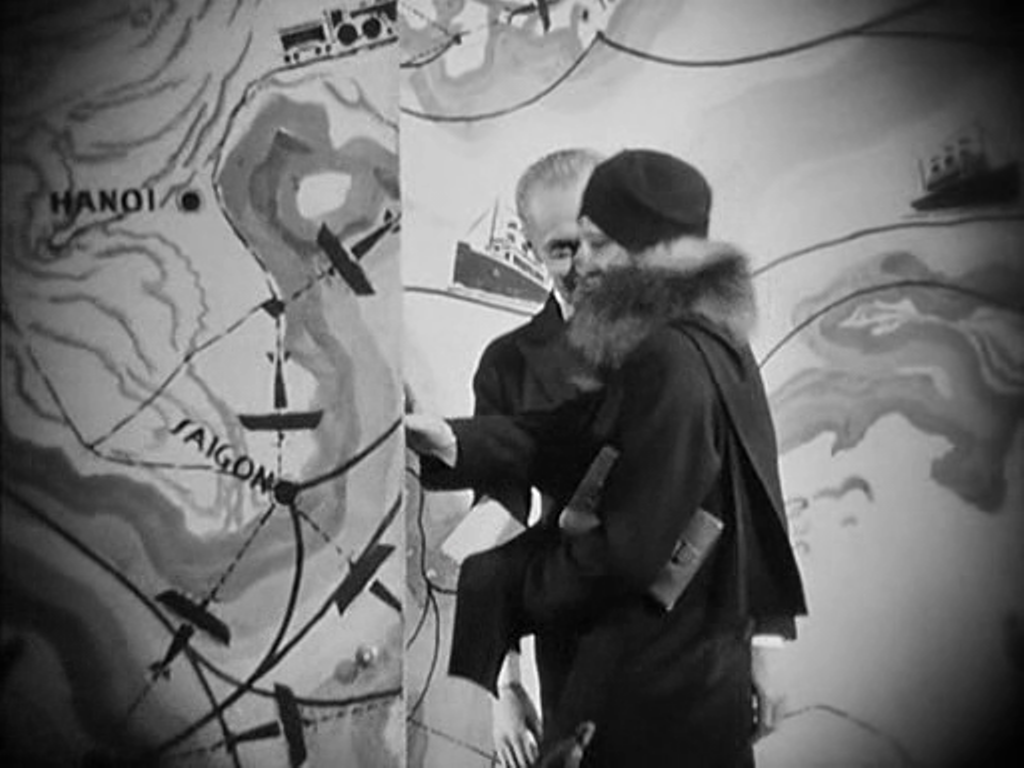 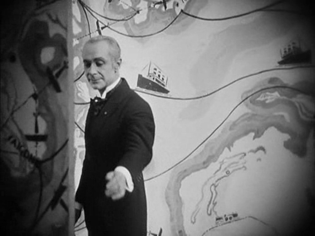 The decor of L'Argent is one of Lazare Meerson's finest achievements, especially in the cartographic configurations of this last, framing space.
 When, in 2011, I first posted about the maps in this film I said they appeared in only one scene. Seeing the film again this afternoon at the ICA, in a beautiful print, I spotted my mistake in not spotting the very large globe, above. Many thanks to The Badlands Collective for organising the screening, on the film's 40th birthday. 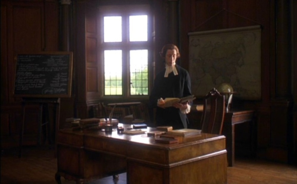   Maps appear in Barry Lyndon in only one scene, but they cover the known world, from Asia through Africa and Europe to the Americas. And there is a globe on the table in front of the first map.
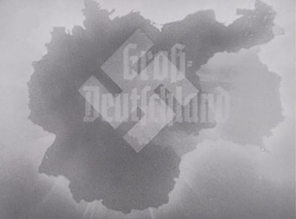
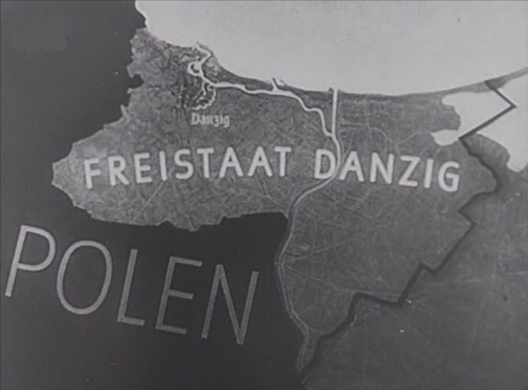
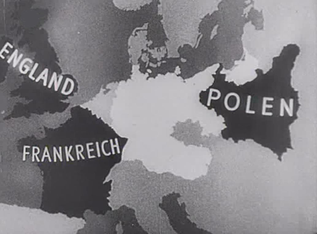
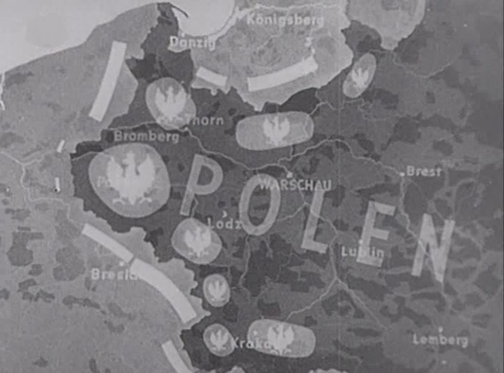
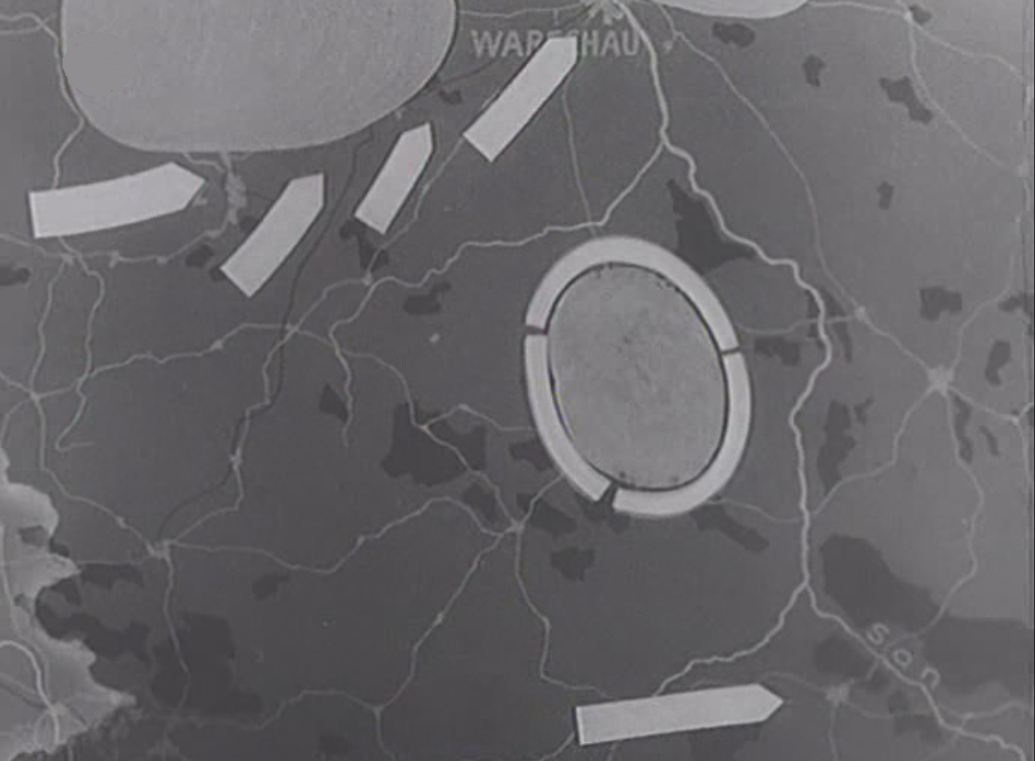
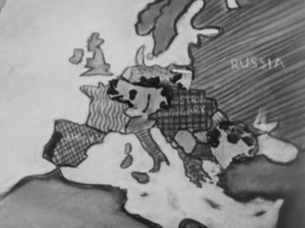
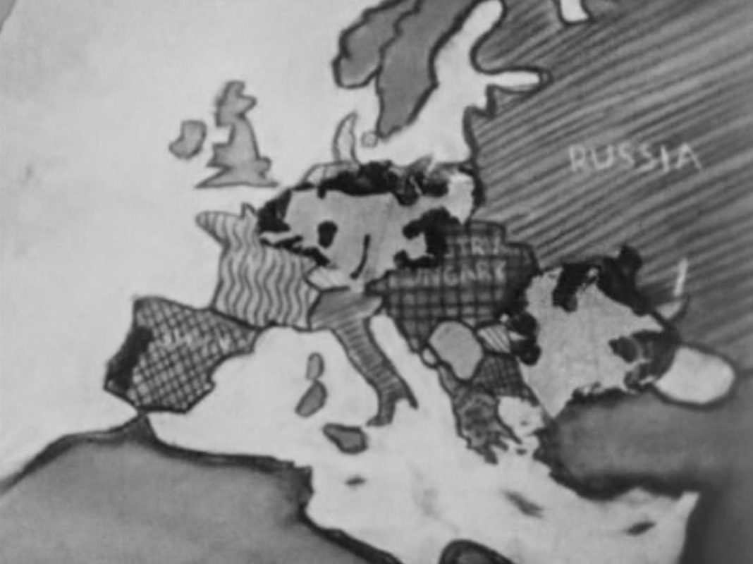
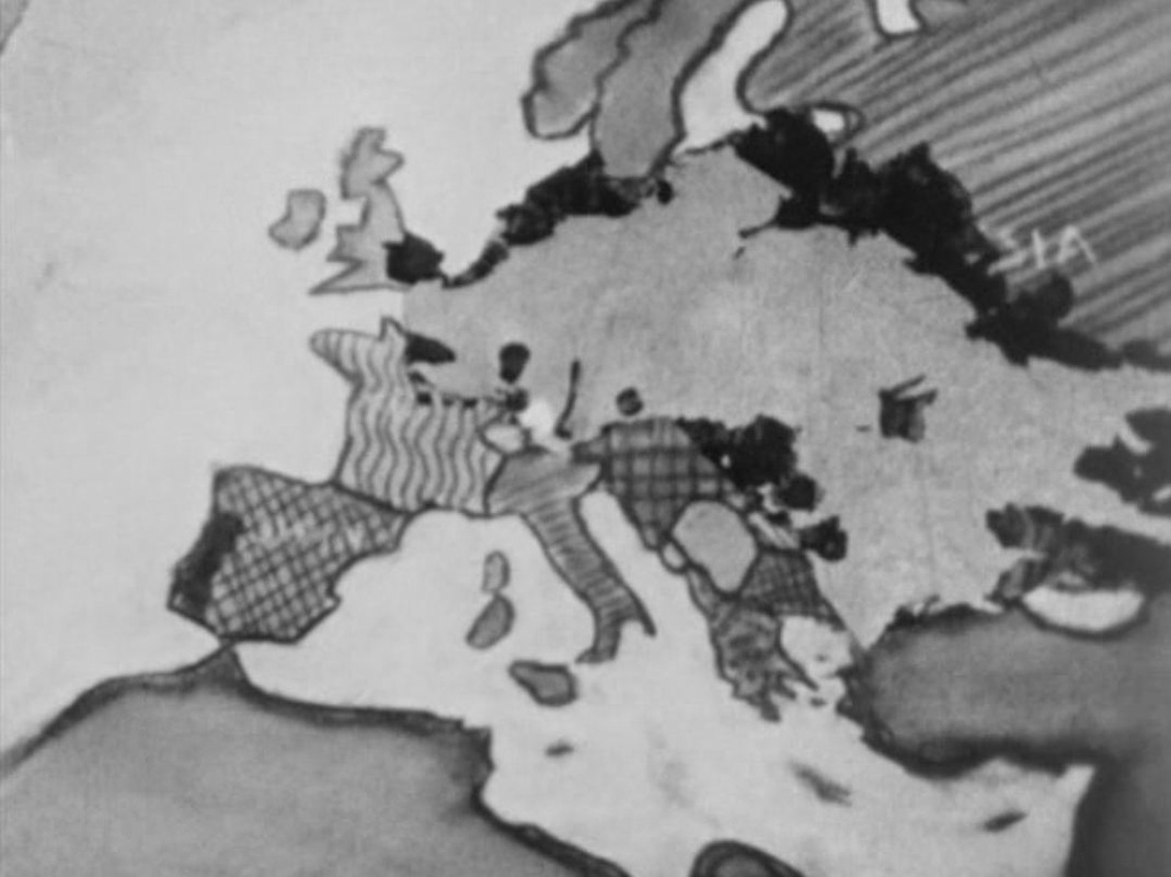
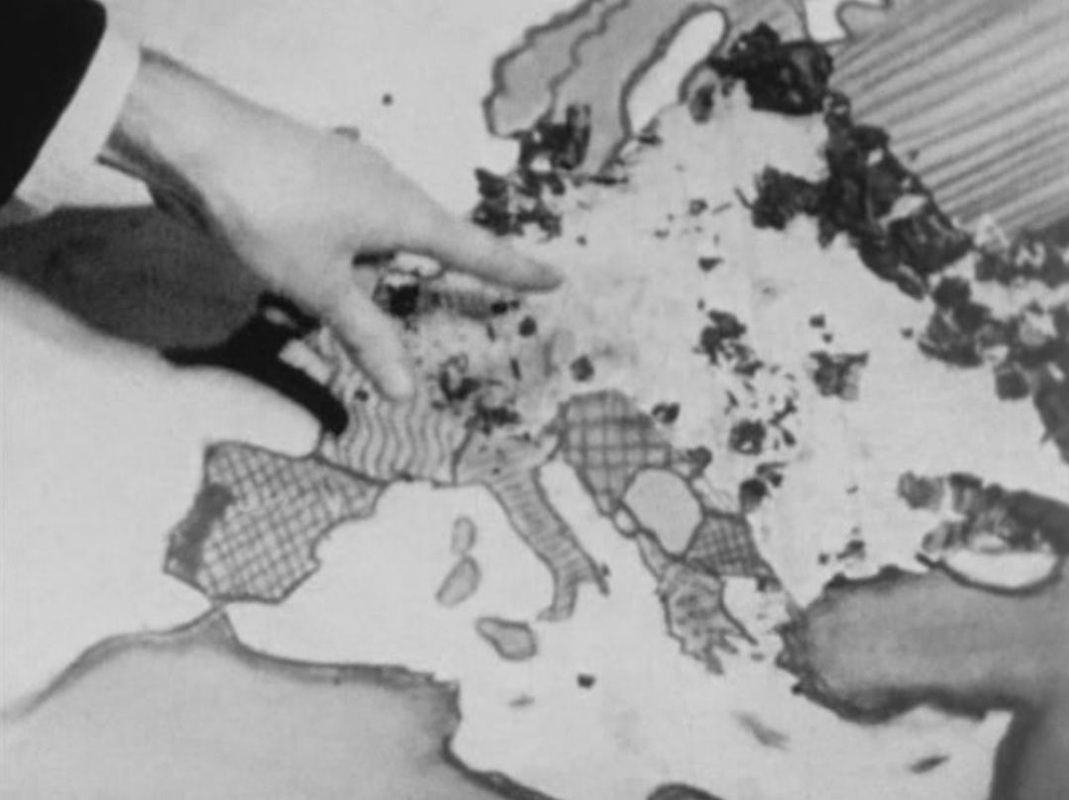
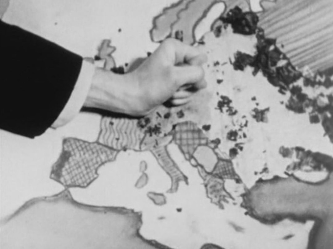
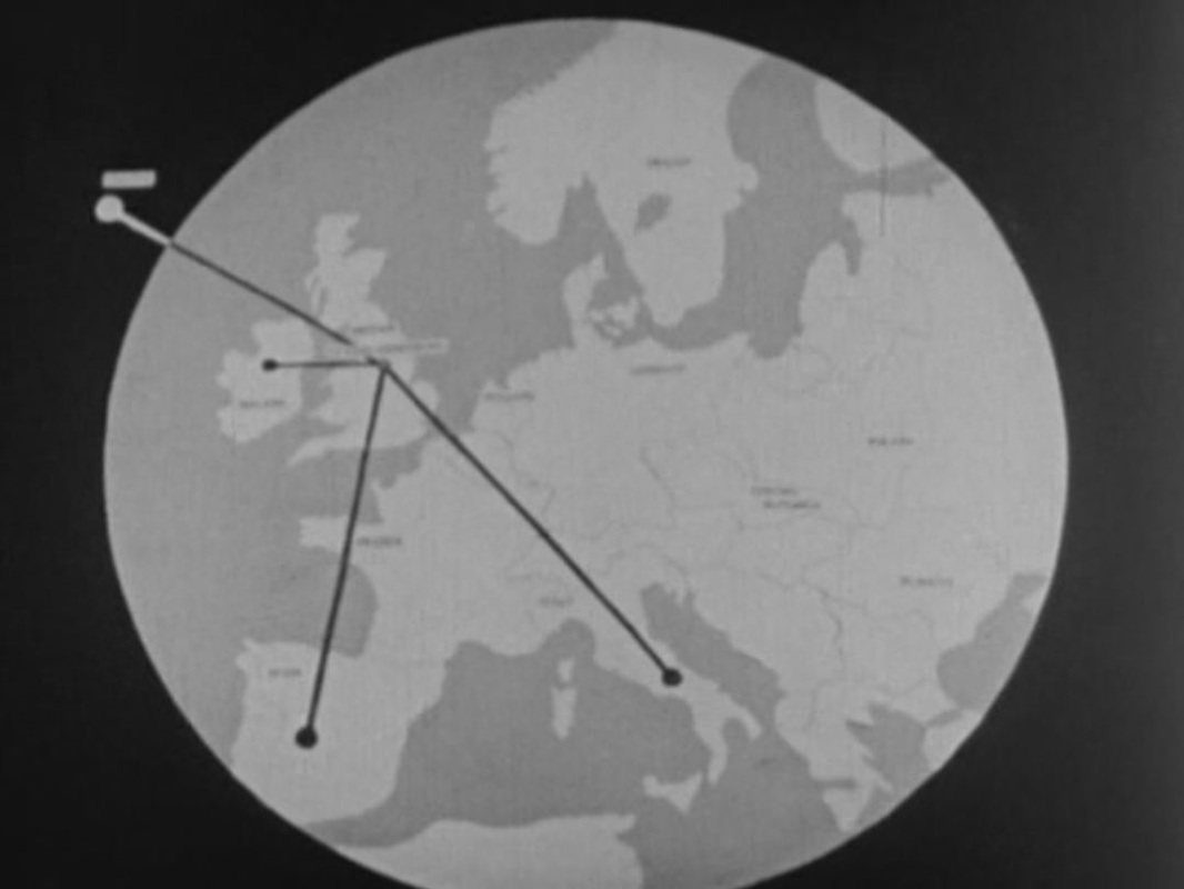
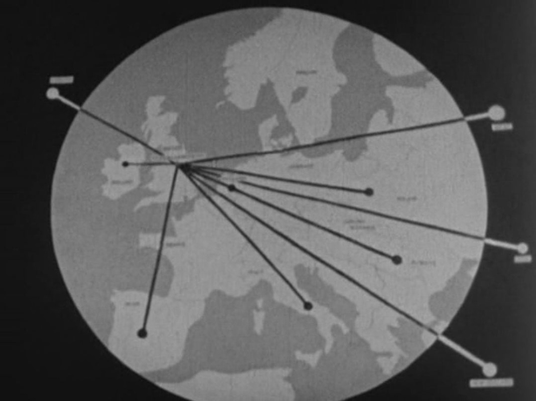
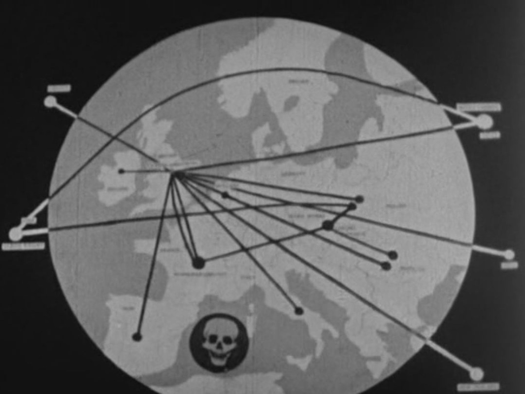
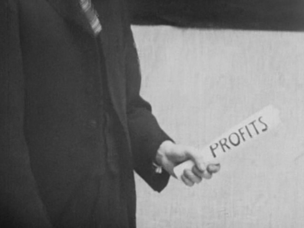
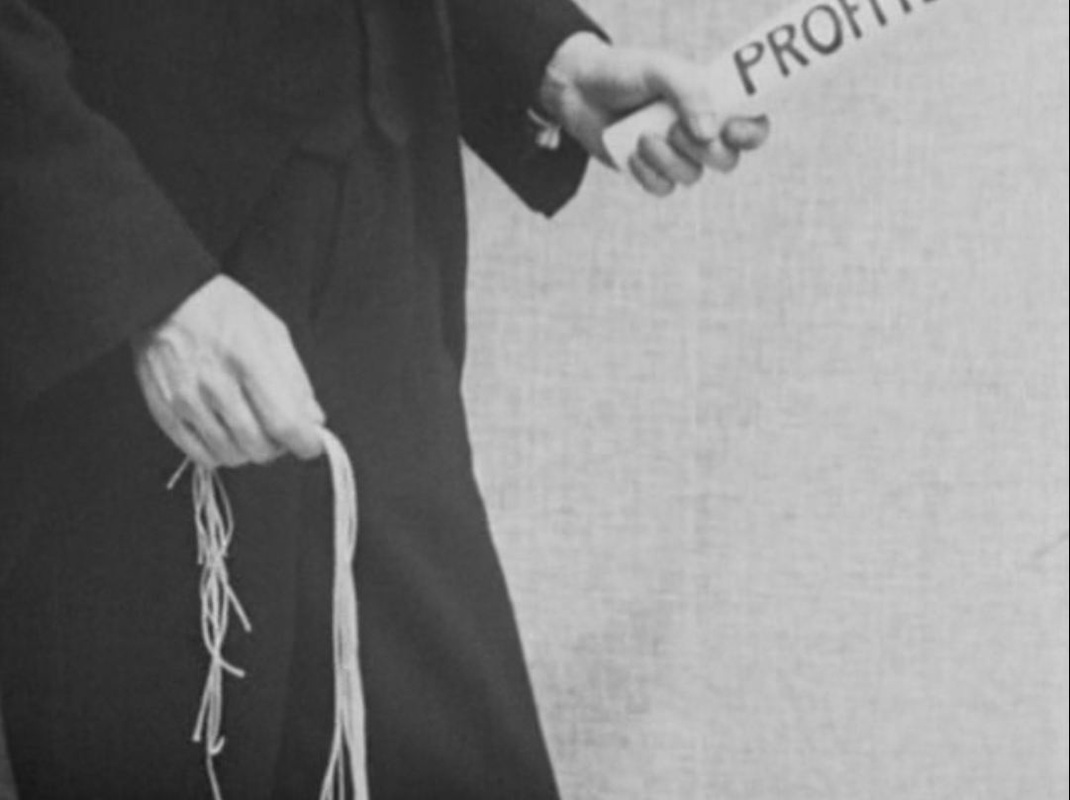
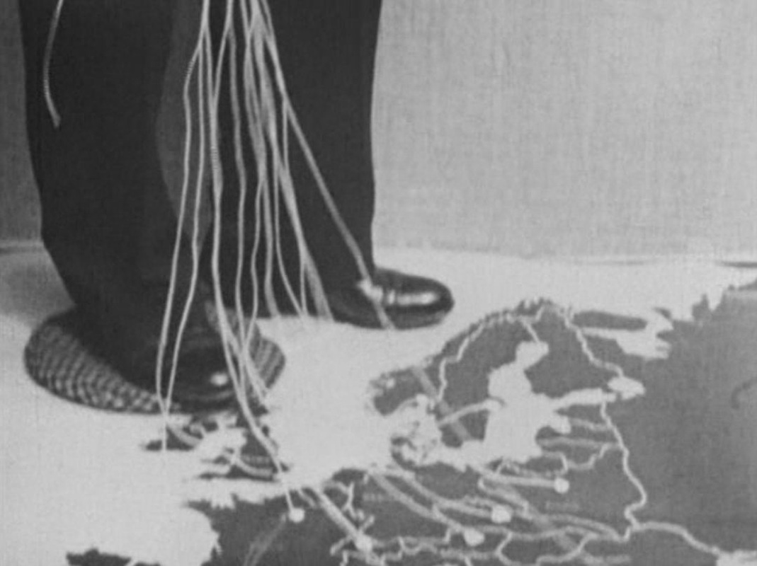
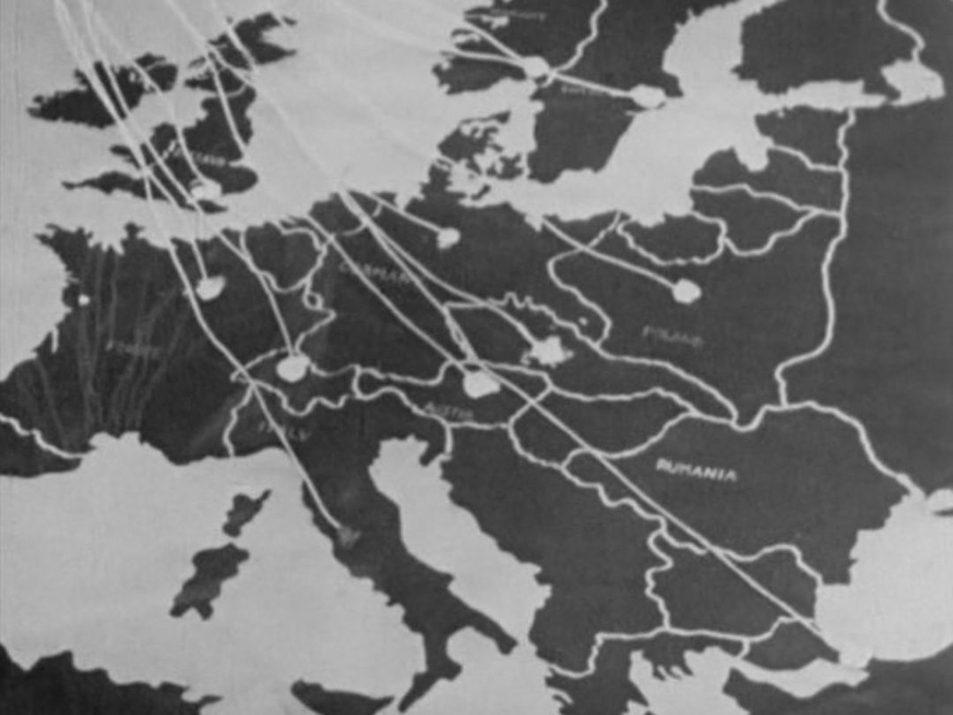
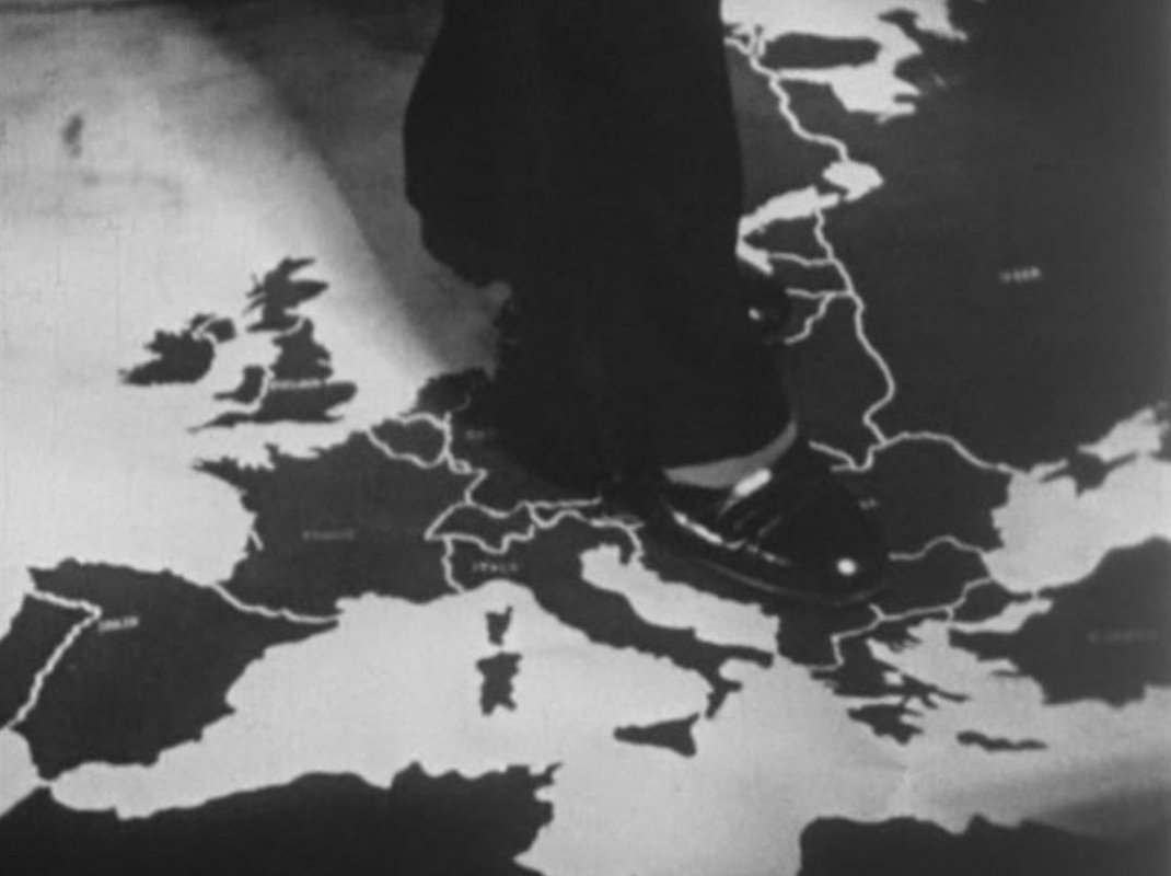
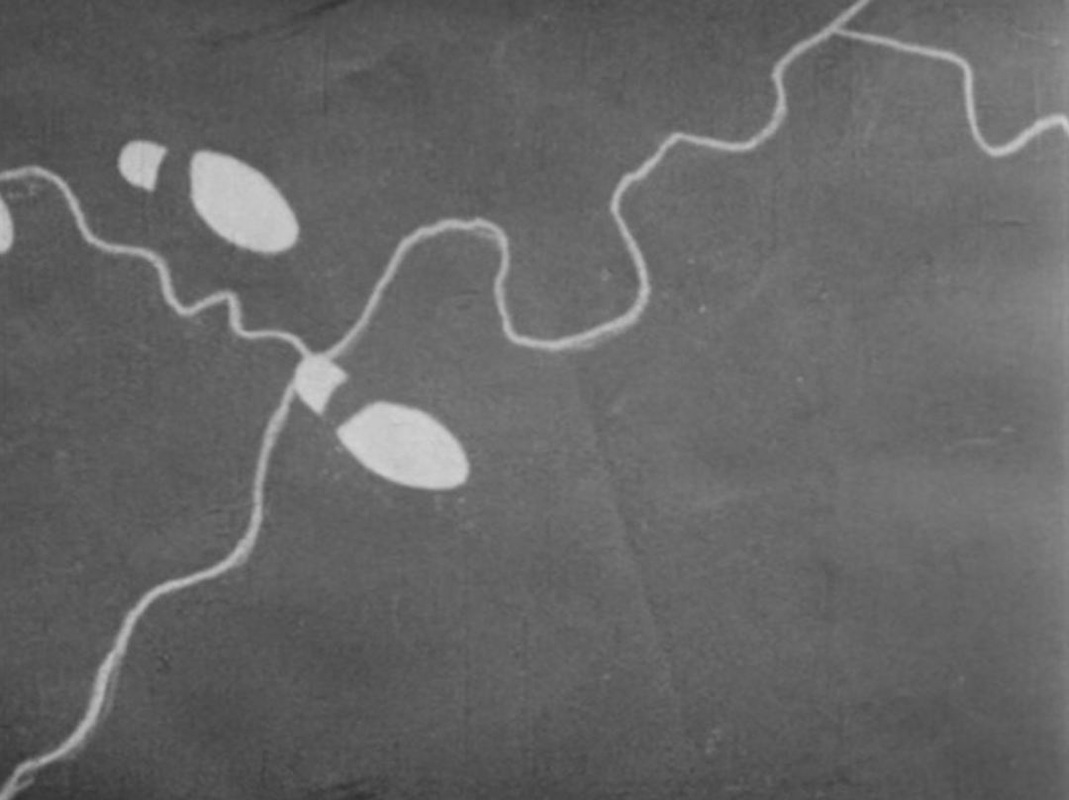
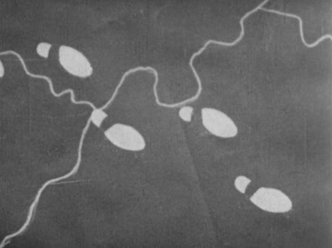
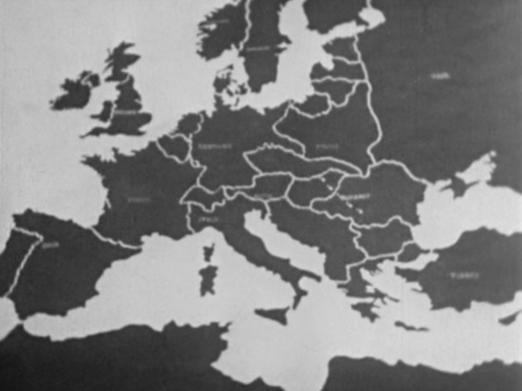
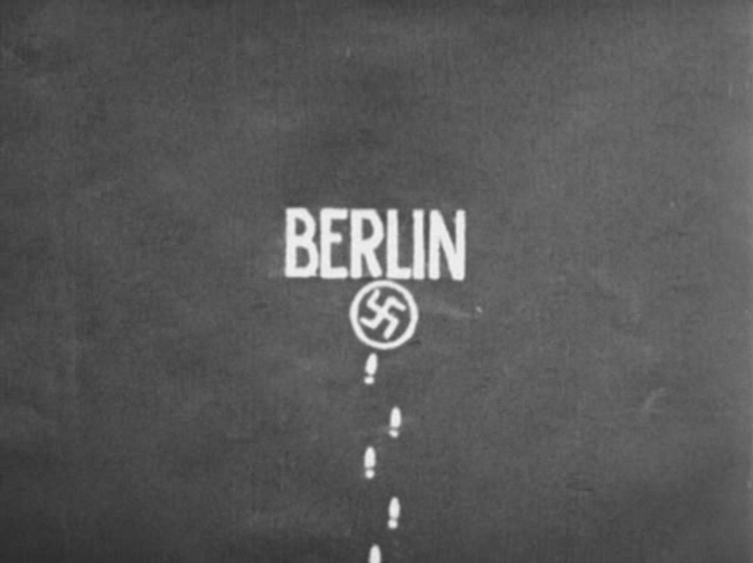
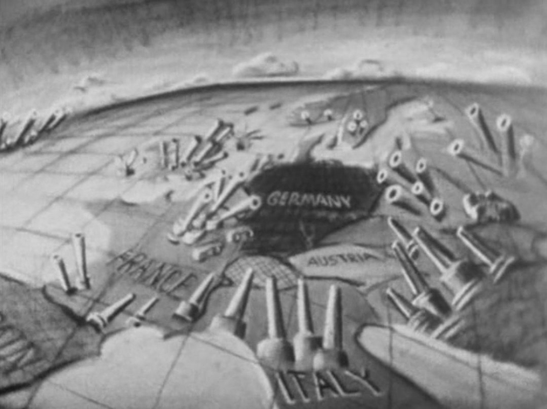
 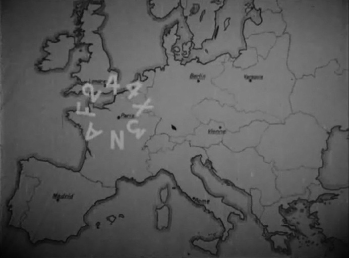 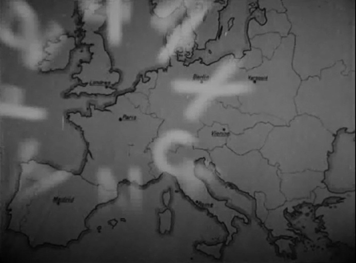 'An urgent call to the Knights of the Ku Klux Eiffel', transmitted in code by radio from the top of the Eiffel Tower. After the coded message repeatedly pulses across Europe, the map shows members of this secret society in London, Madrid, Rome, Vienna and Berlin all rising in response to the call. 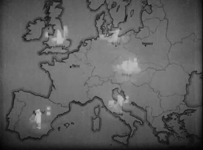 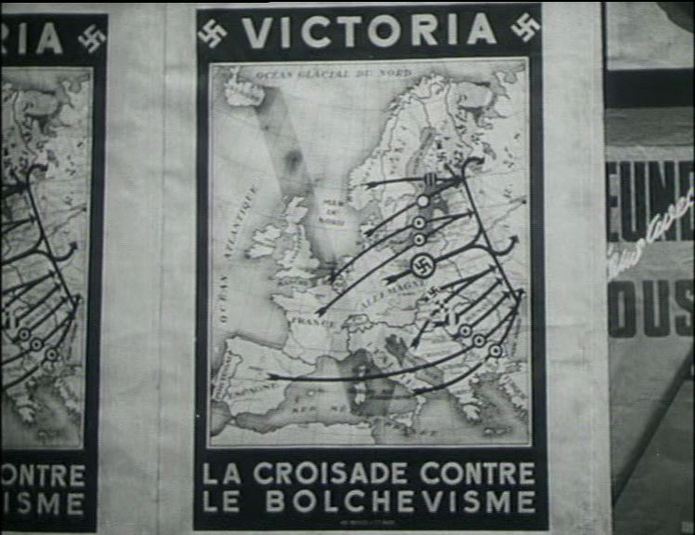  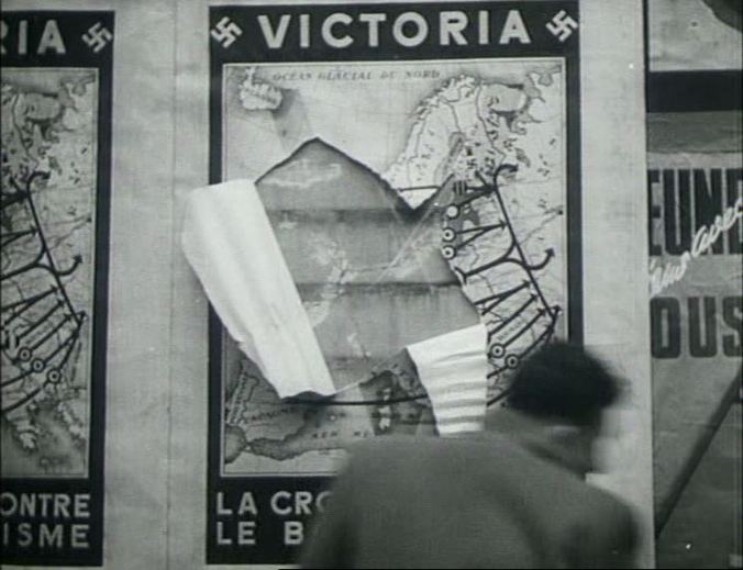 ‘The poster for the Reich’s European programme, with a large V sign (Victoria) and discrete swastikas, on which the volunteer units from all of the continent’s occupied or satellite countries converge towards the East.'
Yves Durand, Histoire de la Deuxième Guerre Mondiale (Paris: Editions Complexe, 1997), p.508. ‘It’s a real battle of the Vs. The Germans, in response to English propaganda, have decreed that the V will be the sign of German Victory. Everywhere they have raised big white flags bearing a monumental V, put up red posters with a black V above the swastika. V stands for Victoria, and Victoria is apparently an old German word. But people just ask themselves what is this new brand of Cherry, or think of the Queen oF England, and they continue to cut Vs, Hs (for ‘Honour’) or ‘croix de Lorraine’ into their métro tickets. The pavements are covered with them.’ Jean Guéhenno, ‘25.7.1941’, Journal des années noires, 1940-1944 (Paris: Gallimard, 1947), p.193.  ‘While in the midst of a succession of events unfolding over time, we might not have a sense of a "larger picture" (or "bird's-eye view") that a mapping can provide. The ability to unpack — to deconstruct, to resequence — can be inviting functions of narrative mapping.’
Stephen Mamber, ‘Narrative Mapping’, in Anna Everett & John Thorton Caldwell (eds), New Media: Theories and Practices of Digitextuality (London: Routledge, 2003), p.146.  ‘The map is almost as close to becoming the center of the new Russian iconic cult as Lenin's portrait. Quite certainly the strong national feeling that Bolshevism has given all Russians, regardless of distinction, has conferred a new reality on the map of Europe. They want to measure, compare, and perhaps enjoy that intoxication with grandeur which is induced by the mere sight of Russia; citizens can only be urgently advised to look at their country on the map of neighboring states, to study Germany on a map of Poland, France, or even Denmark; but all Europeans ought to see, on a map of Russia, their little land as a frayed, nervous territory far out to the west.’
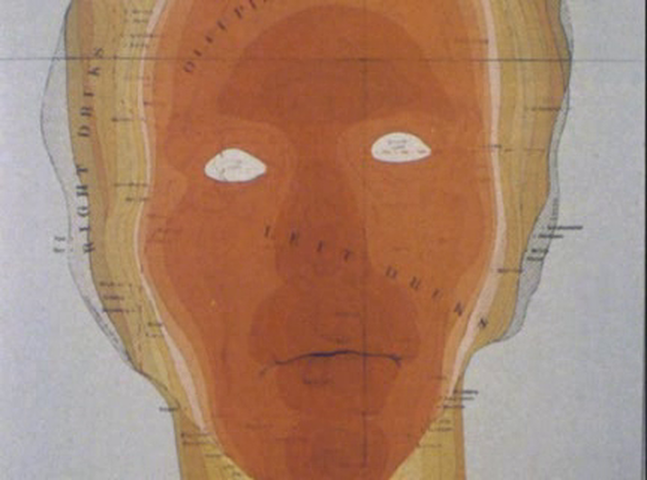
Walter Benjamin, ‘Moscow’ [1927], in Selected Writings 1927-1930 (Cambridge, MA: Harvard University Press, 1999), p.27. 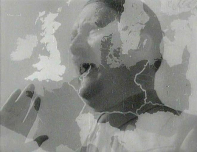 'face = map' (D& G: see map 20 for details)
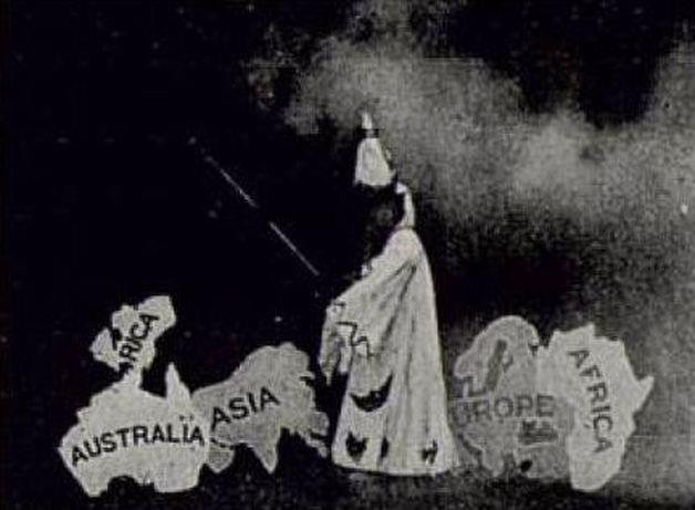 An image from a lost film by R.W. Paul. Here is the description from his 1907 catalogue: 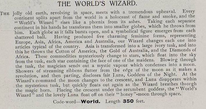 |