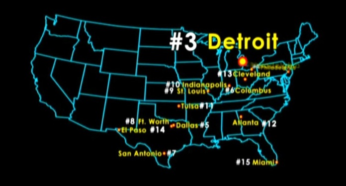
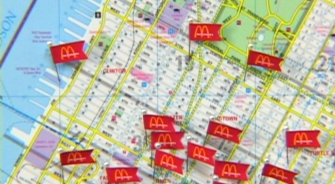
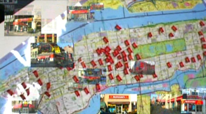
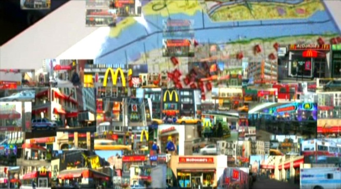
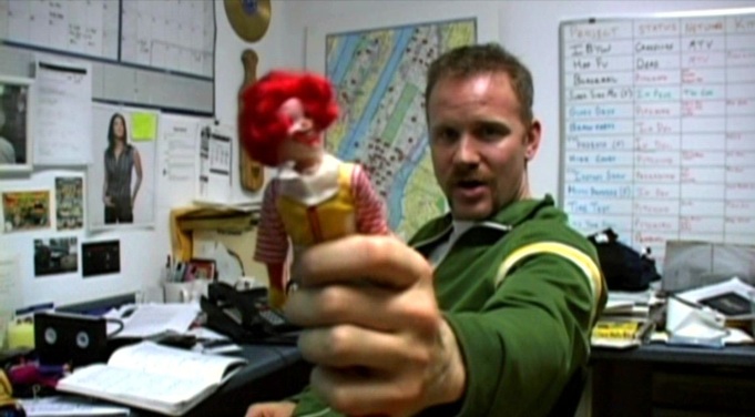
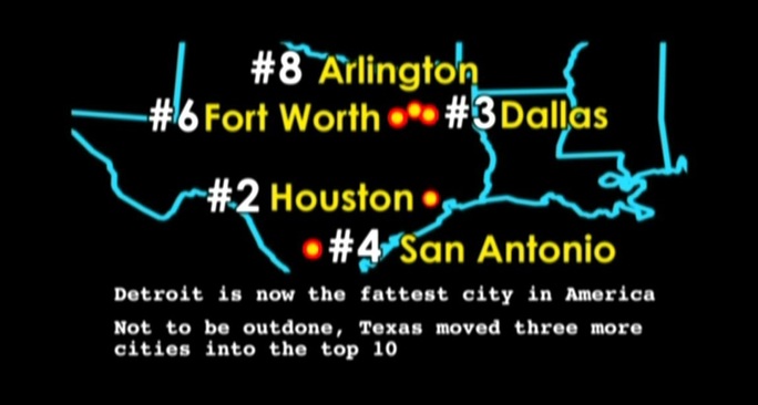
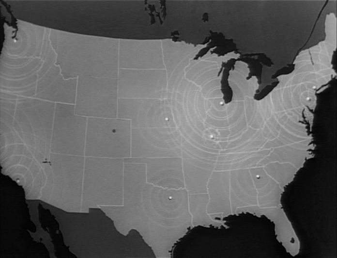
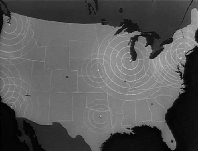
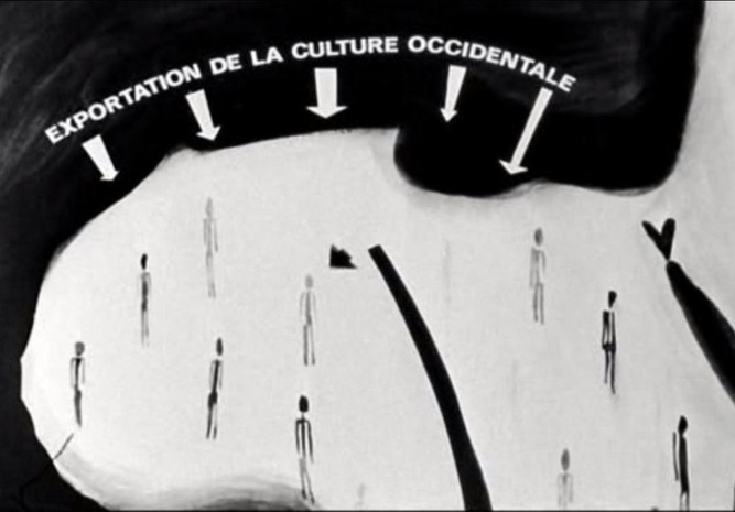
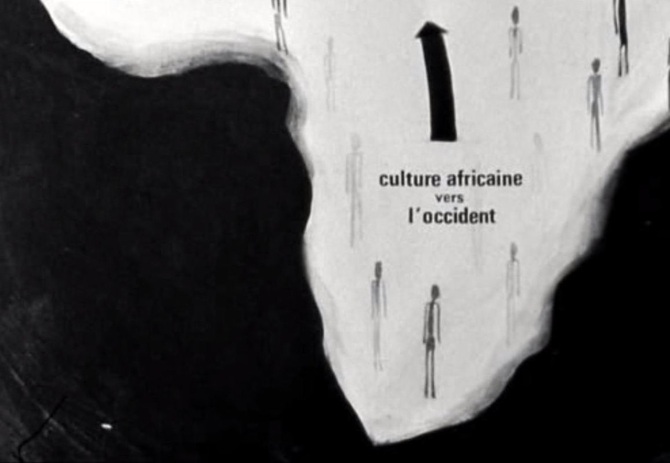
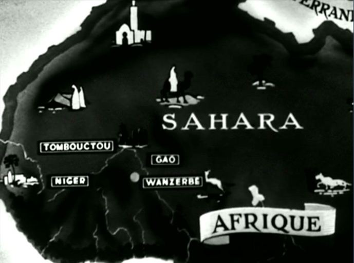
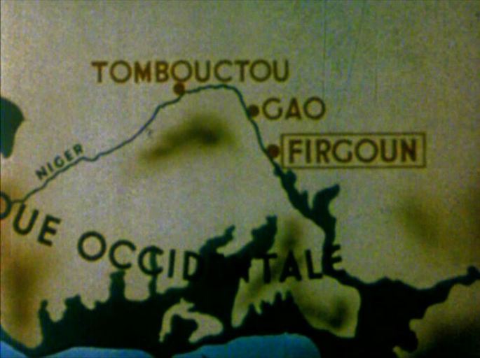
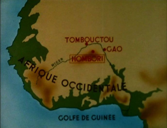
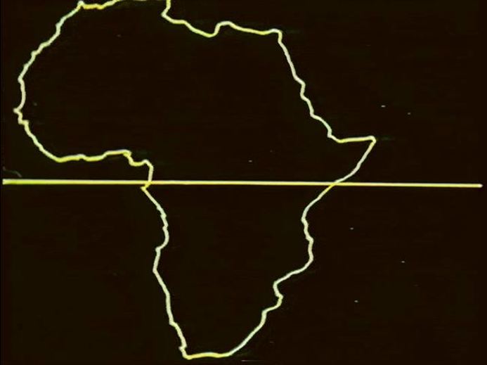
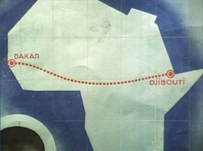
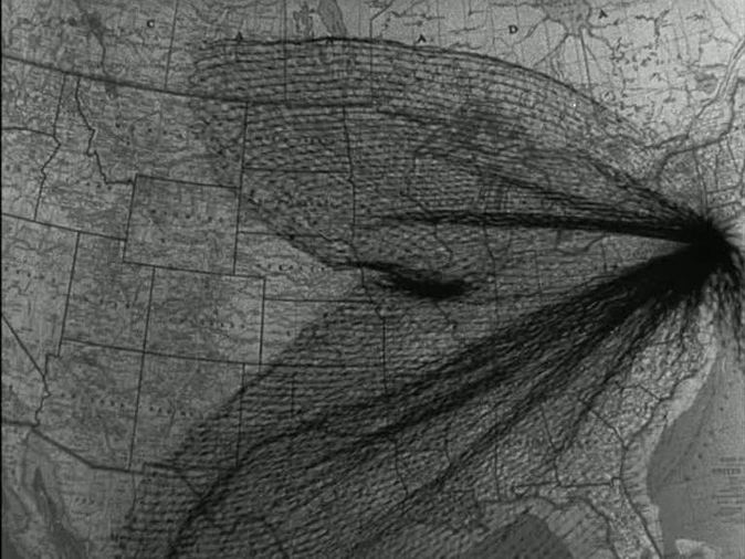
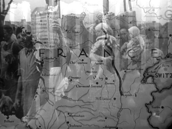
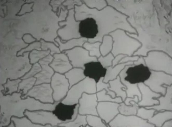
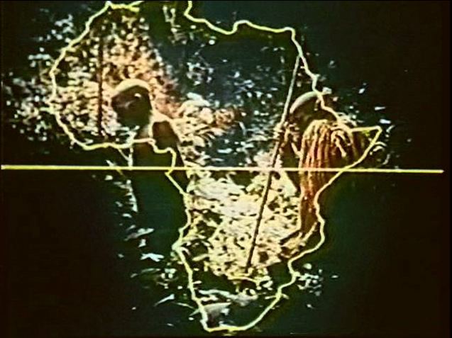
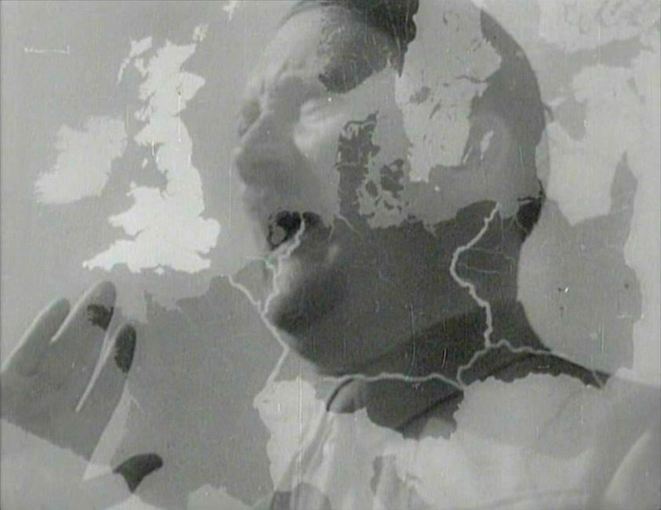
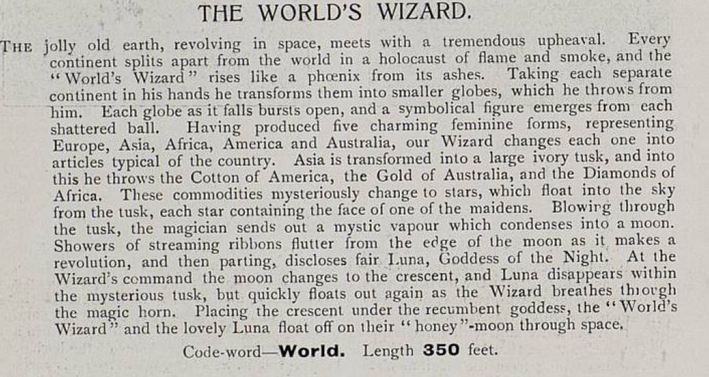
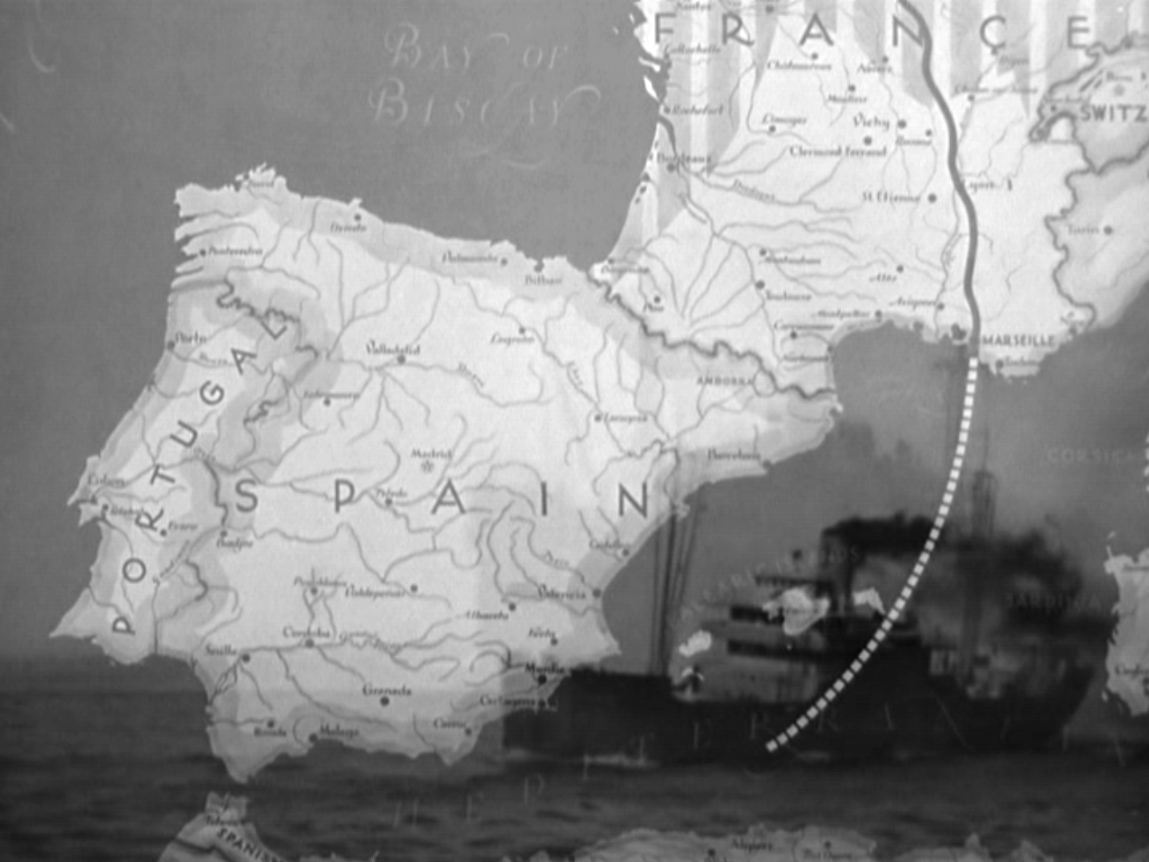
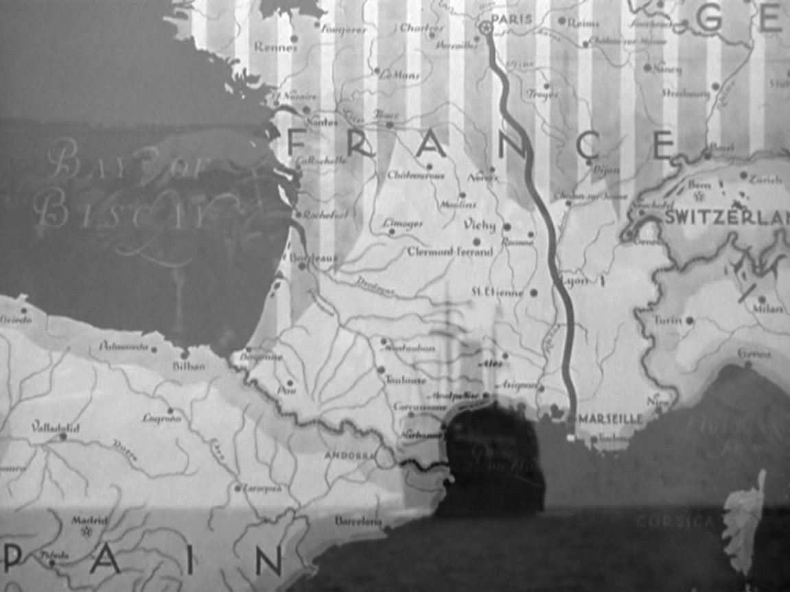
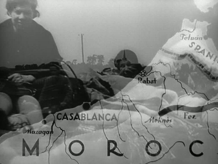
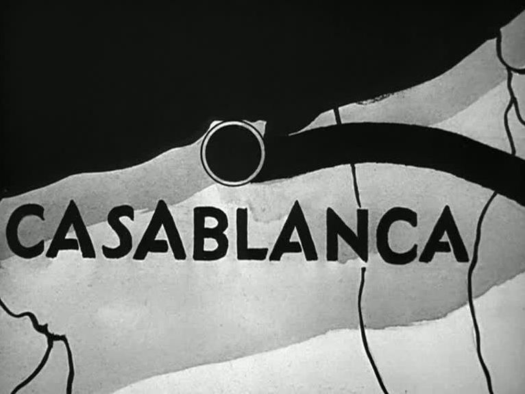
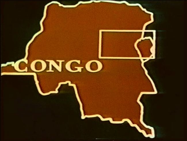
Animated maps to illustrate a point are common in documentaries (hence their use in the 'News on the March' section of Citizen Kane), and Super Size Me has three striking instances. Spurlock also, however, 'animates' a map profilmically by progressively sticking flags and then photographs onto a map of Manhattan:
0 Comments
‘In the breakneck idiom of 1930s "infotainment," intertitles are blended with other graphic images — animated maps, photos, newspaper headlines — and with a wide variety of "archival" footage. Cut for maximum visual dynamics, spatial transpositions are accomplished by wipes, by sudden camera movements and object movements. For instance, a title card: "In its humble beginnings," introduces the development of the Kane press empire. In the next shot, an Inquirer truck races across the extreme foreground; as it passes the camera it exposes a deep view of the original newspaper building. A cut returns us to the flat image of a map with blinking lights to designate corporate growth. We then see a long shot of a grocery store that is interrupted by a passing car, this time compressing the space of the image. In the following shot in a papermill a roll of paper is thrust right at the camera from the extreme background. Without belaboring the point, there is a concerted effort in this sequence to activate the viewer's capacity to assimilate and respond kinesthetically to rapid alterations in represented depth.’
Paul Arthur, ‘Out of the Depths: Citizen Kane, Modernism and the Avant-Garde Impulse’, in Ronald Gottesman (ed.), Perspectives on Citizen Kane (1996), p.373. Hondo's cinemap is a response to and critique of the graphic representations that typically introduced European ethnographic films on African cultures (see examples below).
‘In the case of primed verbal images, the accompanying words lead us to focus on specific features of the pictures. Metaphorically we could say that we see the pictures through the words. With verbal images proper, however, we find the words through the pictures. There is no accompanying text; rather, we supply it. For example, in The Thin Man, the police begin a nation-wide search. There is a cut to a map of the US, and a net shoots out of New York covering the country. The image forcefully suggests the word “dragnet” to the spectator.’
Noël Carroll, ‘Language and Cinema: preliminary notes for a theory of verbal things’, Millennium Film Journal, 7-9 (1980-81), p.187. ‘The film opens with a spinning globe and a zoom-in shot towards Western Europe and France. The map fades into a larger-scale map of Europe centred on Paris, from which a bold line is drawn toward the South through Marseille, the Mediterranean Sea, Oran and finally Casablanca, the setting for the film. At this point, the map dissolves into a view from a high roof in the city, followed by a vertical panoramic (tilt shot) that takes the audience down to the busy streets of Casablanca. In 1 min, we have crossed multiple scales from the entire globe to the street level.
This journey predates several of the zooming capabilities developed more than 60 years later in virtual globes. First, it integrates the combination of the spinning globe with a zoom effect on a specific point. Second, it uses a similar ‘jump’ effect as the one currently available in Google Earth to move from one place to another. In this case, the journey from Paris to Casablanca starts with a zoom in on Paris, followed by a zoom out moving toward Southern Europe, then a zoom in to Morocco and finally Casablanca. The jump effect is very compelling as it simultaneously follows the journey from Paris to Casablanca being traced on the map. Third, the perspective changes from 90 degree view of the cartographic representation of the world, to an oblique perspective of the streets of Casablanca and resonates with the recent development of street views functionalities in applications such as Google Map.’ Sébastien Caquard, Foreshadowing Contemporary Digital Cartography: A Historical Review of Cinematic Maps in Films’, The Cartographic Journal 46.1 (2009) A different map in the film. 'In the film The Good Companions, Saville establishes the narrator-narratee correlation immediately in the prologue, which Henry Ainley (1879-1945) narrates in a voiceover, in conjunction with a still shot of a map of the counties of origin of the three main characters and a fourth county, to be their place of meeting, blackened in:
"This is a story of the roads and the wandering players of modern England, the story of how Jess Oakroyd left his home in Bruddersford and took to the road, and how Inigo Jollifant marched out of his school at Washbury Manor, and how Elizabeth, daughter of old Colonel Trant, suddenly went off into the blue and how chance brought these three to one small town in the Midlands, together with a broken-down troupe of entertainers, the Dinky-Doos. At Bruddersford there was working a carpenter, Mr. Oakroyd." Here cinematographer Bernard Knowles (1900-1975) uses a cross dissolve to move from a close-up of Mr. Oakroyd's county on the map to a close-up of the back of Mr. Oakroyd's head.' Paul Matthew St Pierre, Music Hall Mimesis in British Film, 1895-1960: On the Halls on the Screen (Cranbury NJ: Rosemont, 2009) p.139. 'In the opening sequence of It Happened Here Britain is shown joined seamlessly with continental Europe. The arrows of Nazi progress overrun everywhere. The film's ceaselessly chilling effect starts with an attack on the most familiar way the British defend the borders of their idea of nationhood: as an island.’
Katherine Shonfield, Walls Have Feelings: Architecture, Film and the City (London: Routledge, 2000), p.17. 'In unmistakably cinematic terms, the maps of Africa function as frames displaying this contrast and movement through the juxtaposition of different graphically rendered realities. The map, for Frobenius, is an adequate representational form only insofar as it captures the kinematographic element, the fact that cultures can only be comprehended as constantly in motion. “Since culture is kinematographic”, Frobenius suggests, “the map must become kinematographic”.’
Assenka Oksiloff, ‘Leo Frobenius and Kino-Vision’, in Picturing the Primitive: Visual Culture, Ethnography and Early German Cinema (New York: Palgrave, 2001), p.109. 'In the interstices the demon of absentmindedness reigns supreme.
Paris is not the only place where this holds true. All the cosmopolitan centres that are also sites of splendour are becoming more and more alike. Their differences are disappearing. Wide streets lead from the faubourgs into the splendour of the centre. But this is not the intended centre. The good fortune in store for the poverty further out is reached by radii other than the extant ones. Nevertheless, the streets that lead to the centre must be travelled, for its emptiness today is real.' Siegfried Kracauer, 'Analysis of a City Map' (1926), in The Mass Ornament (Cambridge: Harvard University Press, 1995), pp. 43-45. 'Two shots angled have been used for this map, which refer to the two perspectives that have dominated cartography historically: (1) the oblique perspective – or “perspective militaire” – has been widely used by artists since the Middle Ages, to represent landscapes. (2) The vertical perspective or bird’s eye view characterizes the more modern and scientific representation of Earth. These two subsequents views of the same map capture the passage from a classic to a more modern perspective in cartography.'
Sébastien Caquard, 'Murder and Modern Mapping', (e)space & fiction ‘The recurrent image of the spinning globe similarly entitles the scientist .to possess the world, since the globe, as the world's representation, allegorizes the relationship between creator and creation. Cinema's penchant for spinning-globe logos serves to celebrate the medium's kinetic possibilities as well as its global ubiquity, allowing spectators a cheap voyage while remaining in the metropolitan “centers”.’
Ella Shohat, Taboo Memories, Diasporic Voices (Durham: Duke University Press, 2006) 27-29 |
|