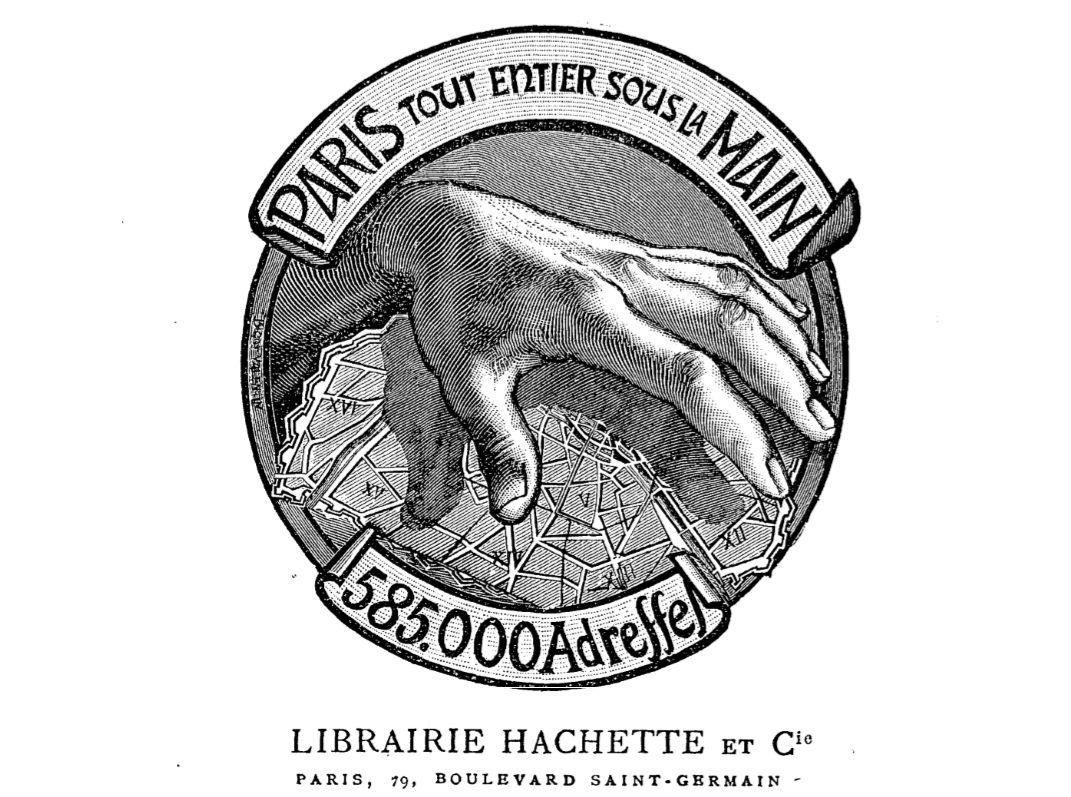
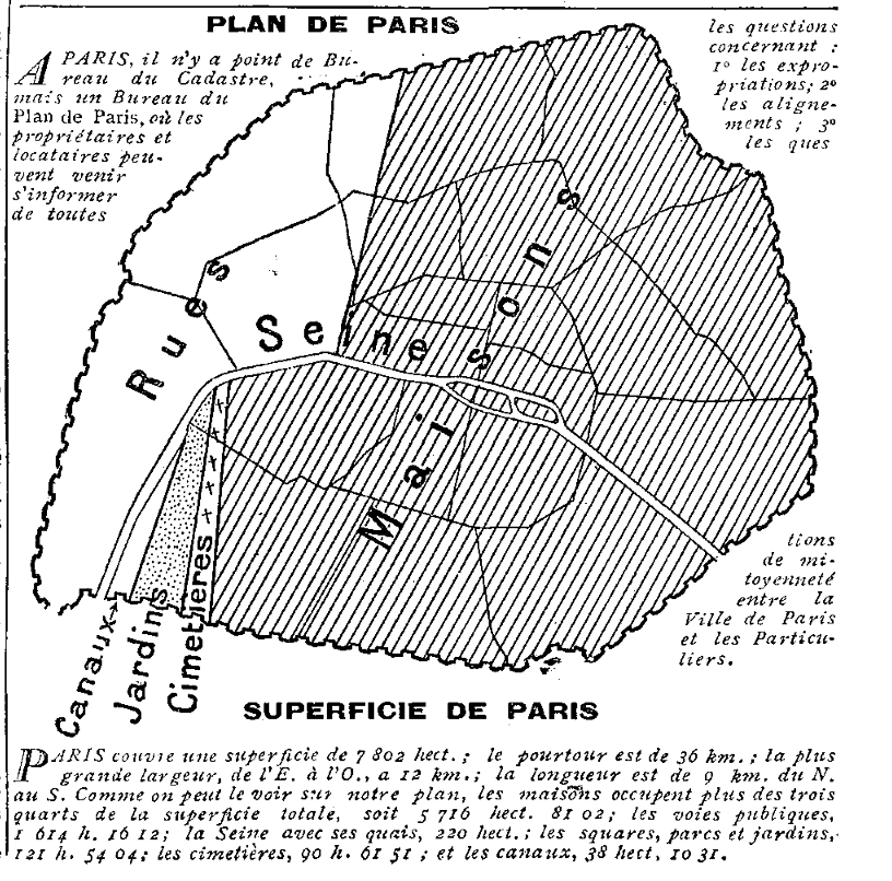
This striking image appears as the frontispiece of the 1910 Paris-Hachette directory. In earlier editions the total of addresses listed is not as high. So struck was I by this graphic that I went through the directories to see what other maps turn up. None is as powerful as the above, but I did like this 1900 diagrammatic breakdown of Paris according to space taken up by buildings, streets, gardens, canals and cemeteries:
This 1904 breakdown of Paris into arrondissements and quartiers is more useful:

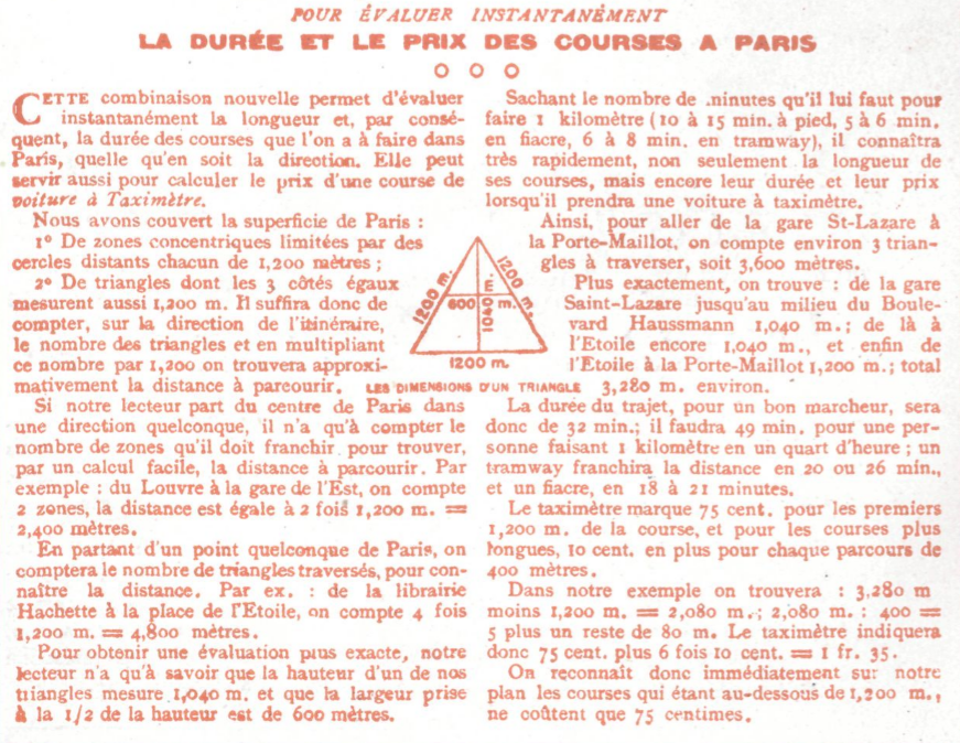
But more beautiful is this aid to calculating the duration and cost of taxi journeys within the city, from the back of the 1913 Hachette directory:
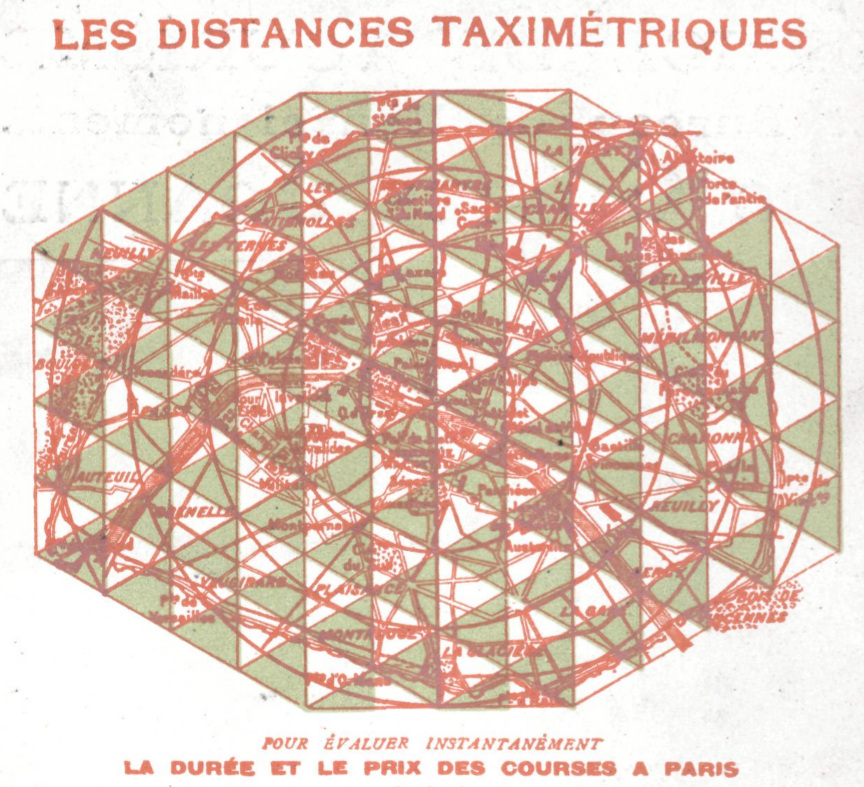
The map comes with an explanation of how to make these calculations, but I must confess that I haven't fully fathomed how it works:
Here are some other maps that struck me:
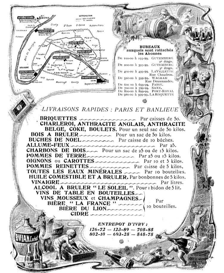
advertisement for the Ivry distribution centre, 1904
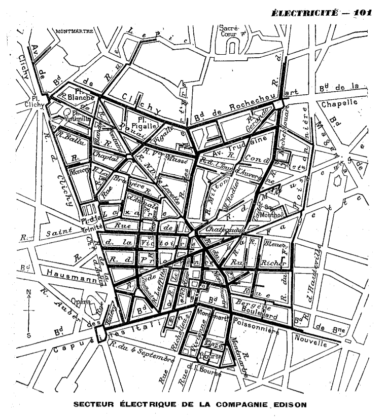
the Edison company's electricity grid in the 9th arrt, 1900
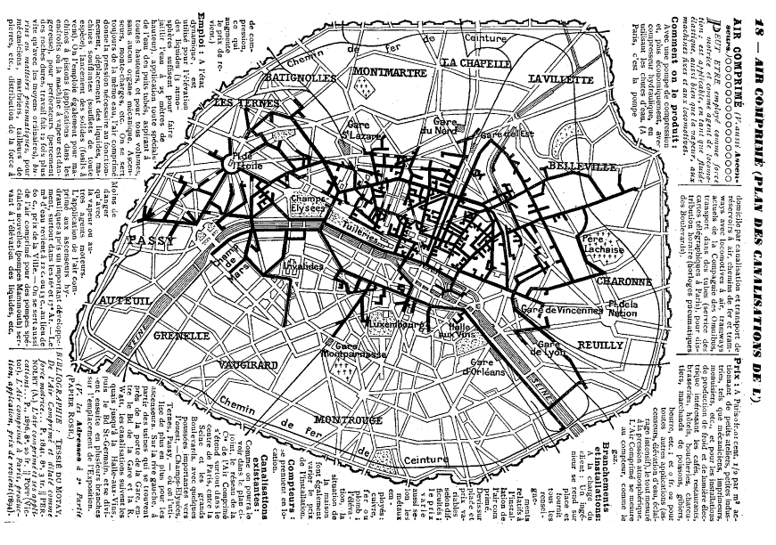
canalisations of compressed air across Paris, 1900
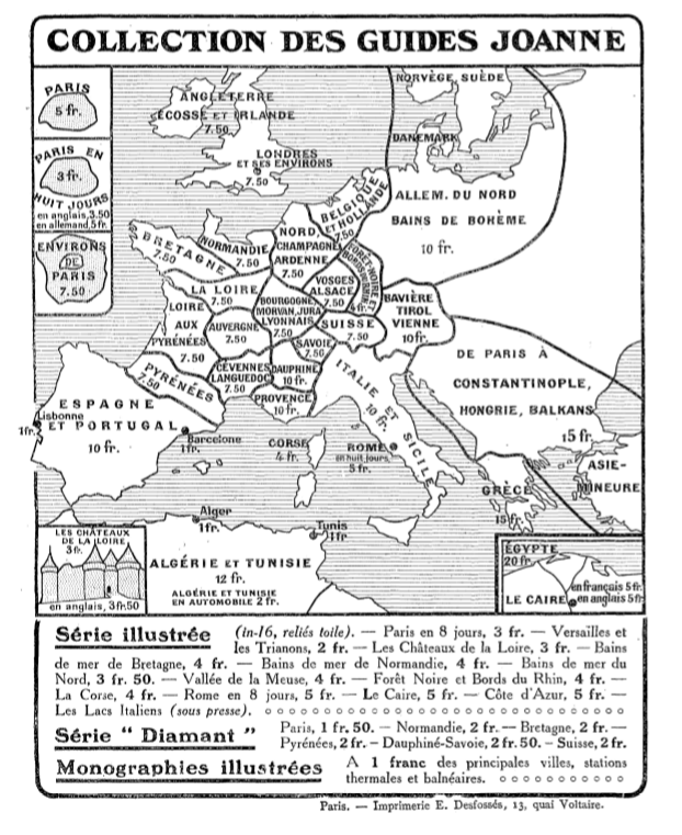
advertisement for Les Guides Joanne, 1913

France's postal connections to its colonies, 1900
And here are a few non-cartographic images that caught my attention. This method of representing proportions was used repeatedly in the 1900 directory:
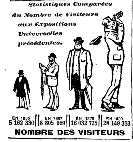 |  |
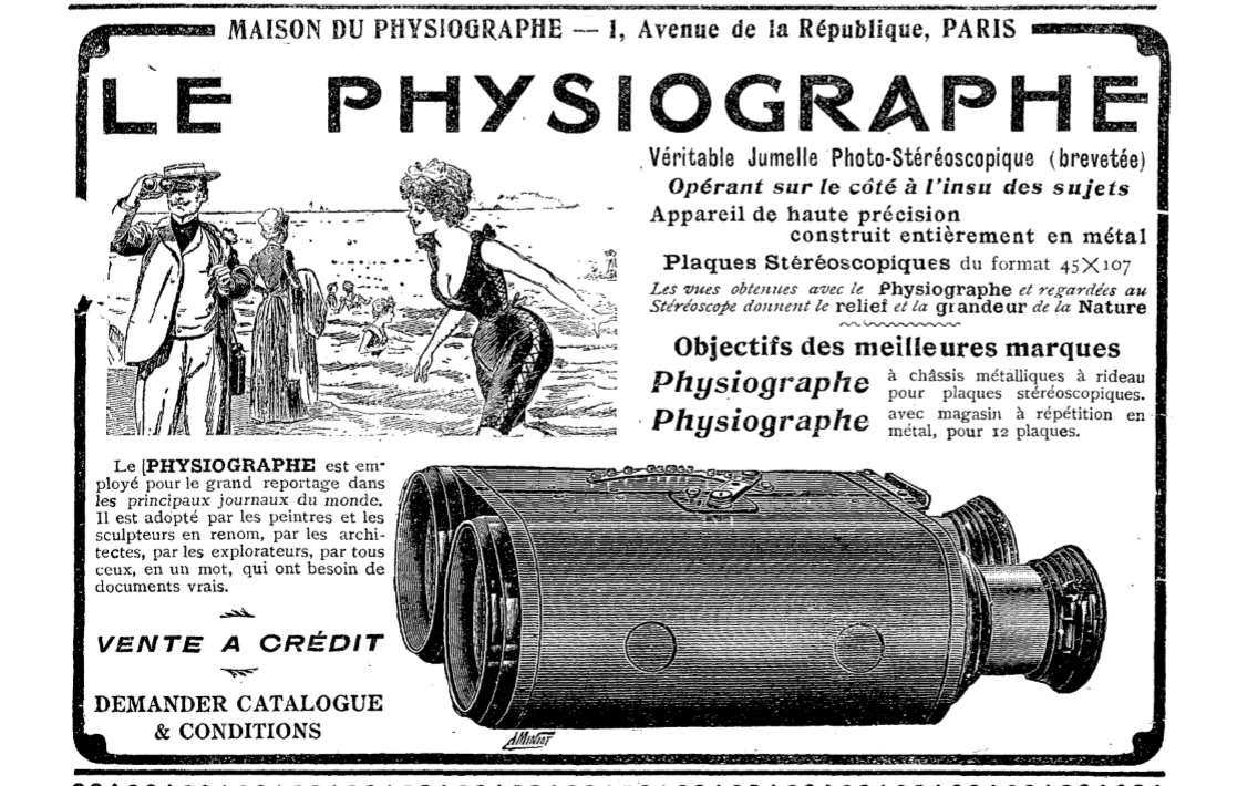
I had never come across this type of camera before:
1904
I was particularly struck by the contrast between what the text claims (that this is an instrument used by journalists, painters, sculptors, architects and explorers) and what the image illustrates, that with this camera louche men can secretly take stereoscopic photographs of women in swimwear.
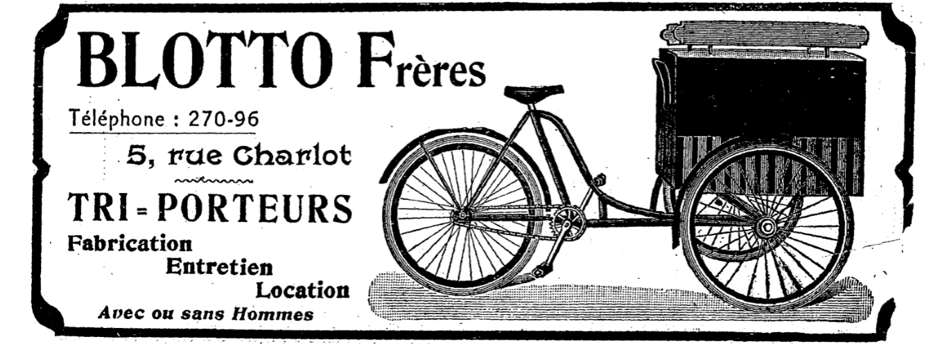
I also made a note of these advertisements:
1904
1904
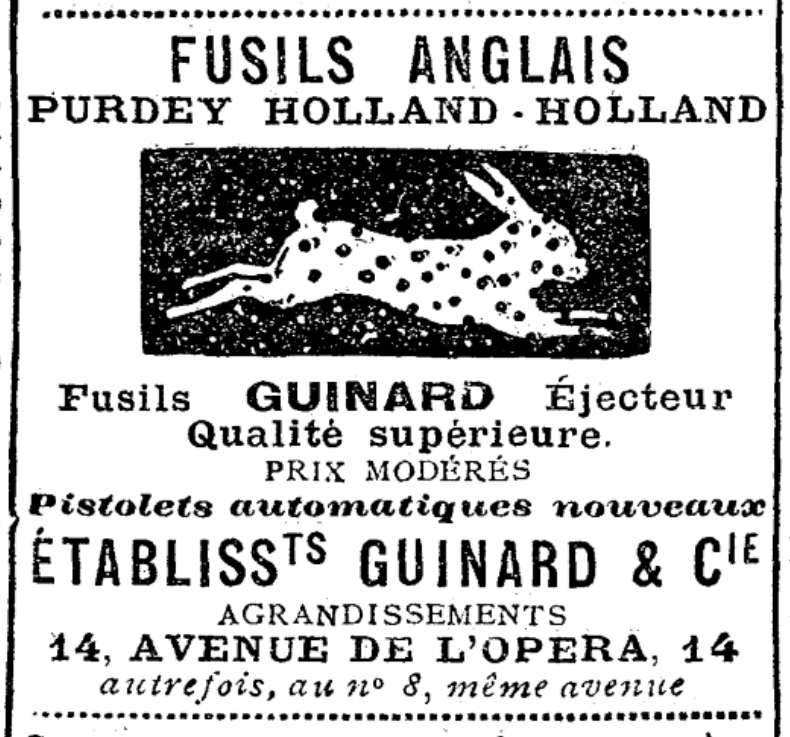
1913
 RSS Feed