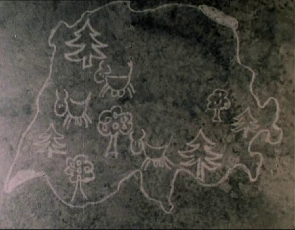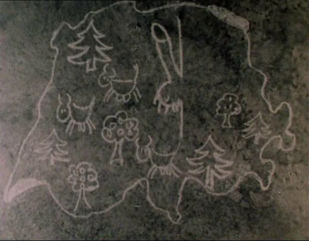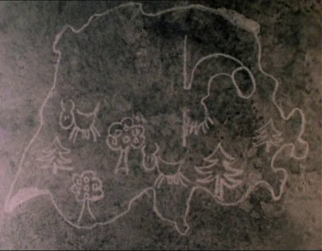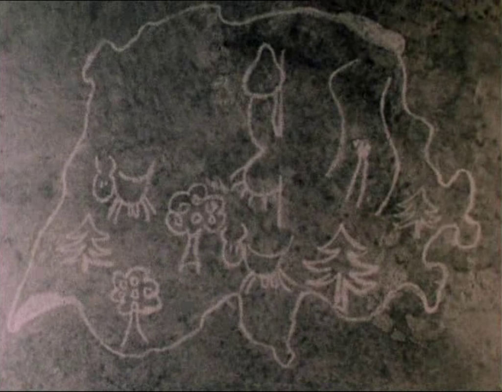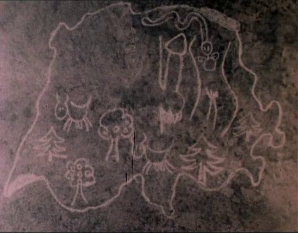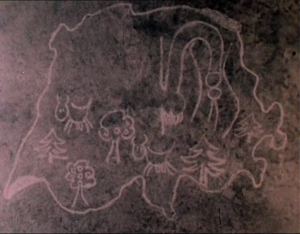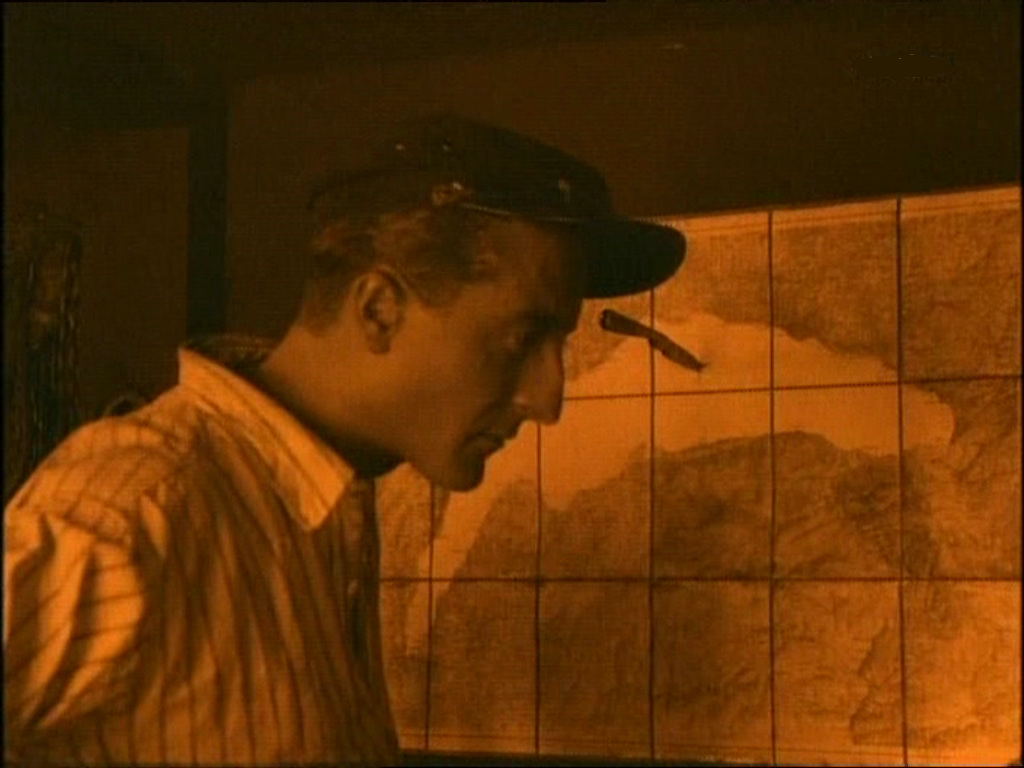
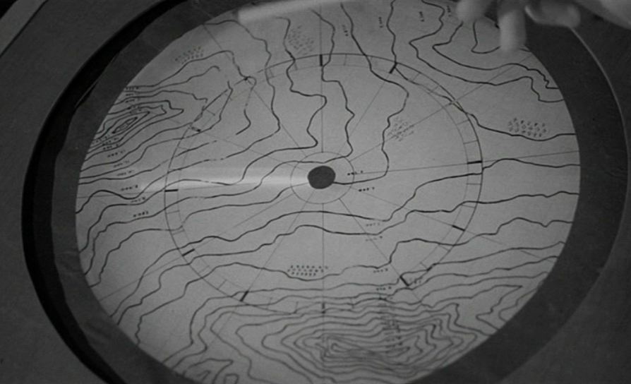
'Kleindorf zum Trollenberg' is a fictional setting constructed in a studio, with authentic footage of Swiss Alps as frame. The above map may represent genuine mountain terrain, or be another filmic confection.
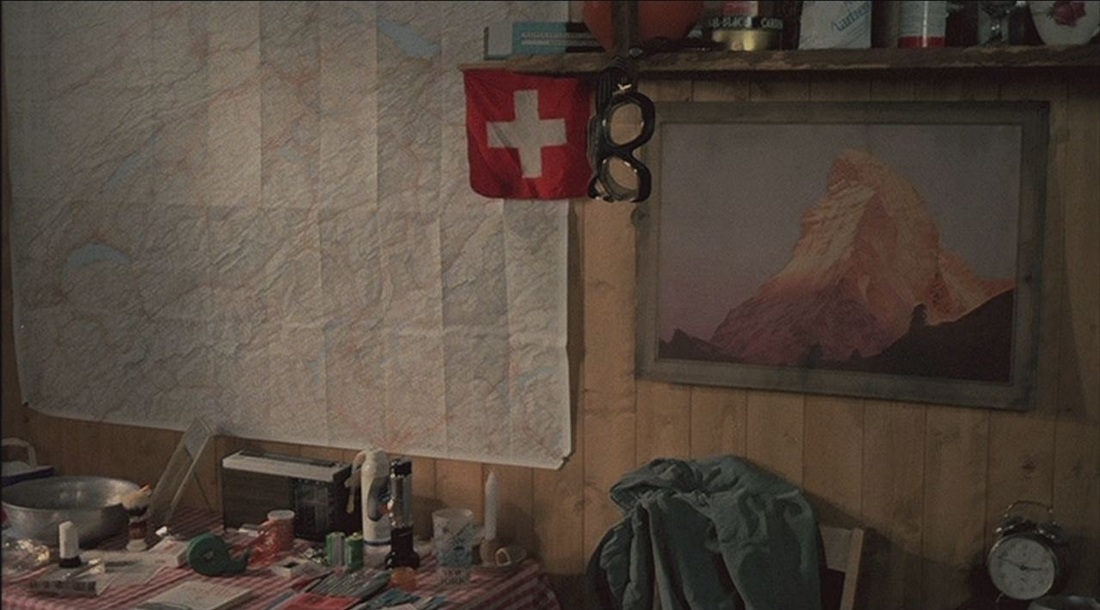
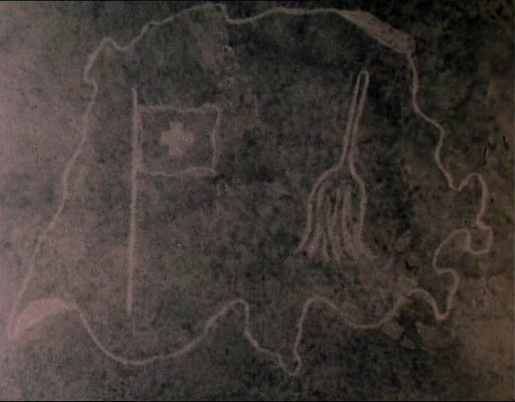
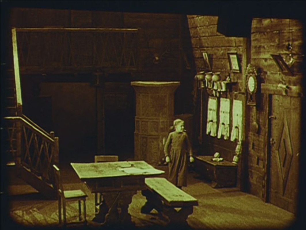
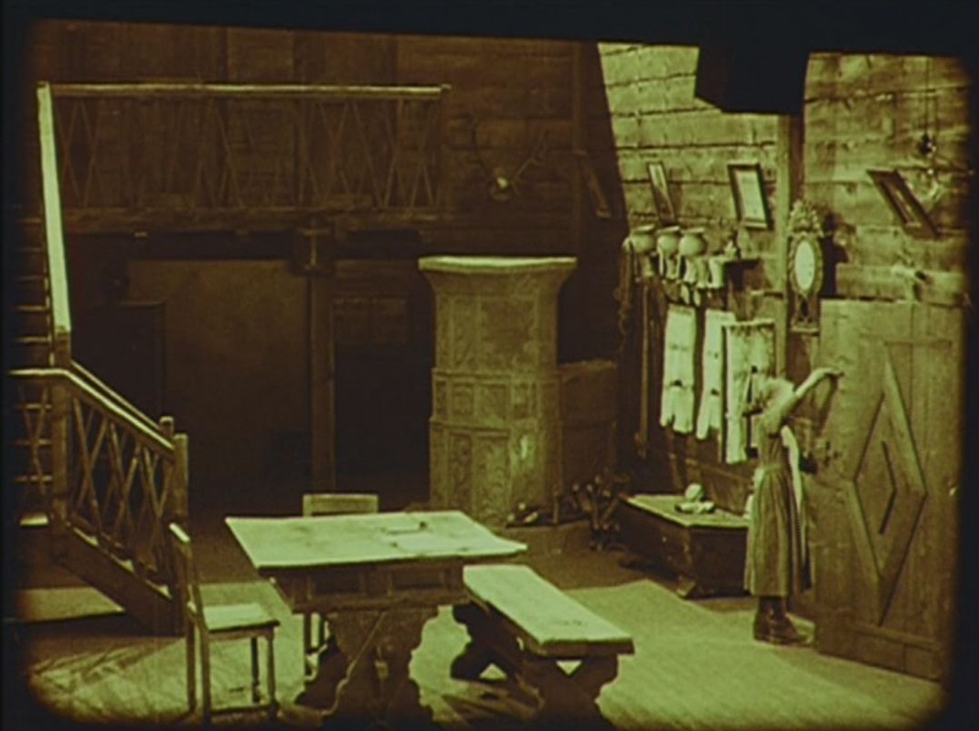
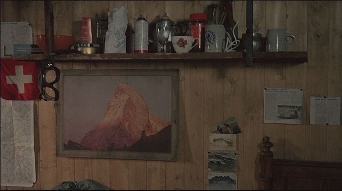
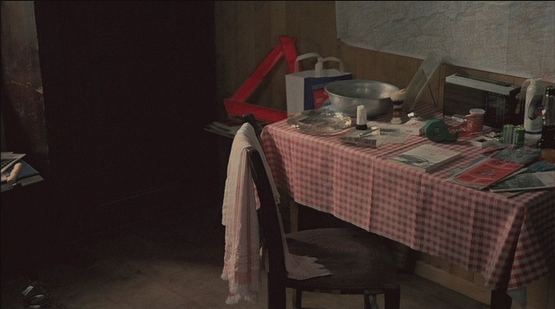
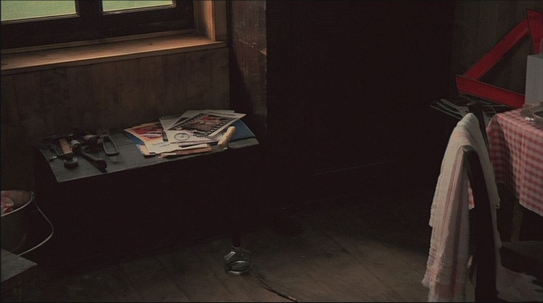
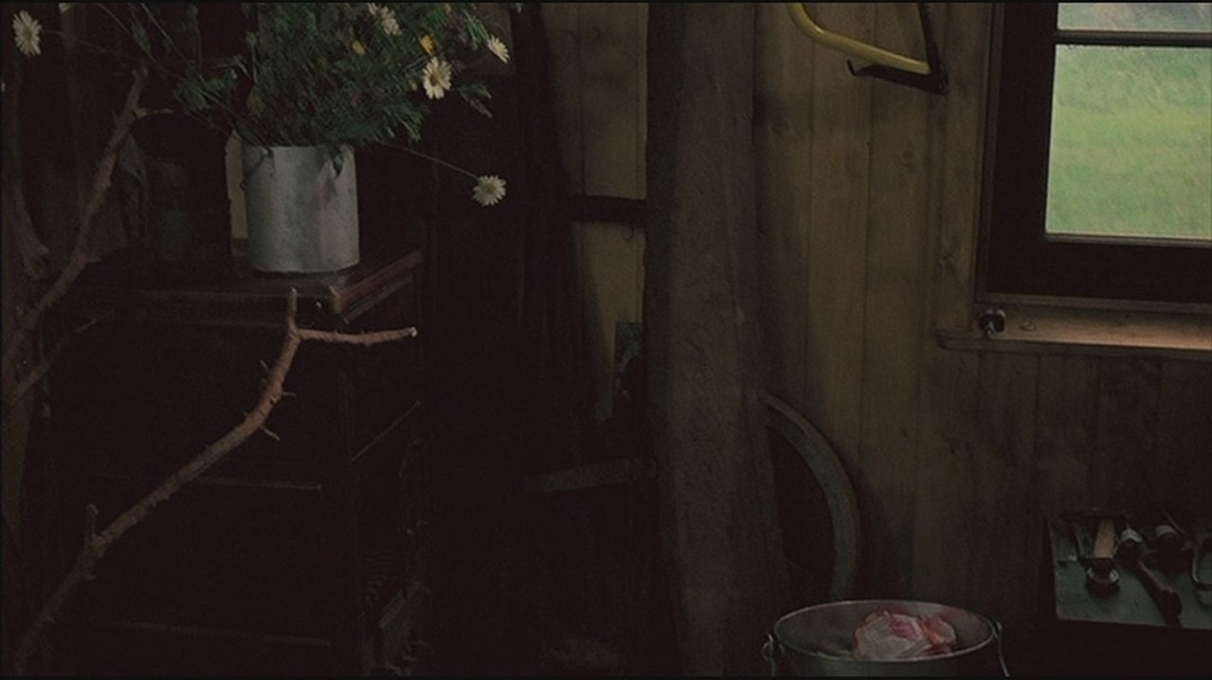
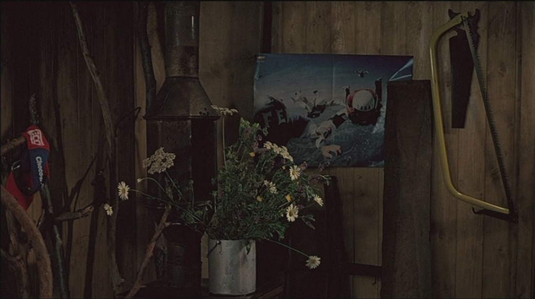
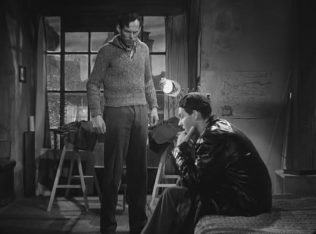
A single 180-degree pan reveals the emblematic objects accumulated in the room of the protagonist, Pipe. The most obvious are the pictures of the Cervin (the Matterhorn), which the film will later visit, but the map and flag join with the mountain as emblems of Switzerland. (In the immediately following sequence Pipe visits a chocolate factory.) 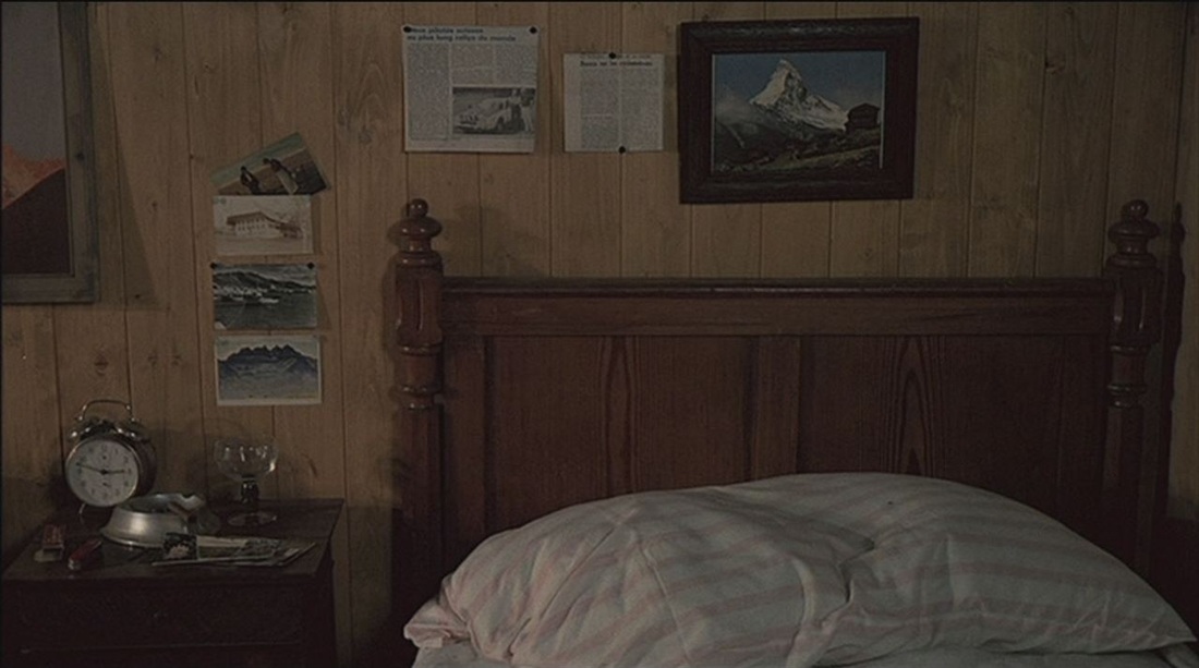
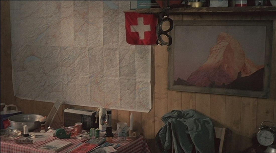
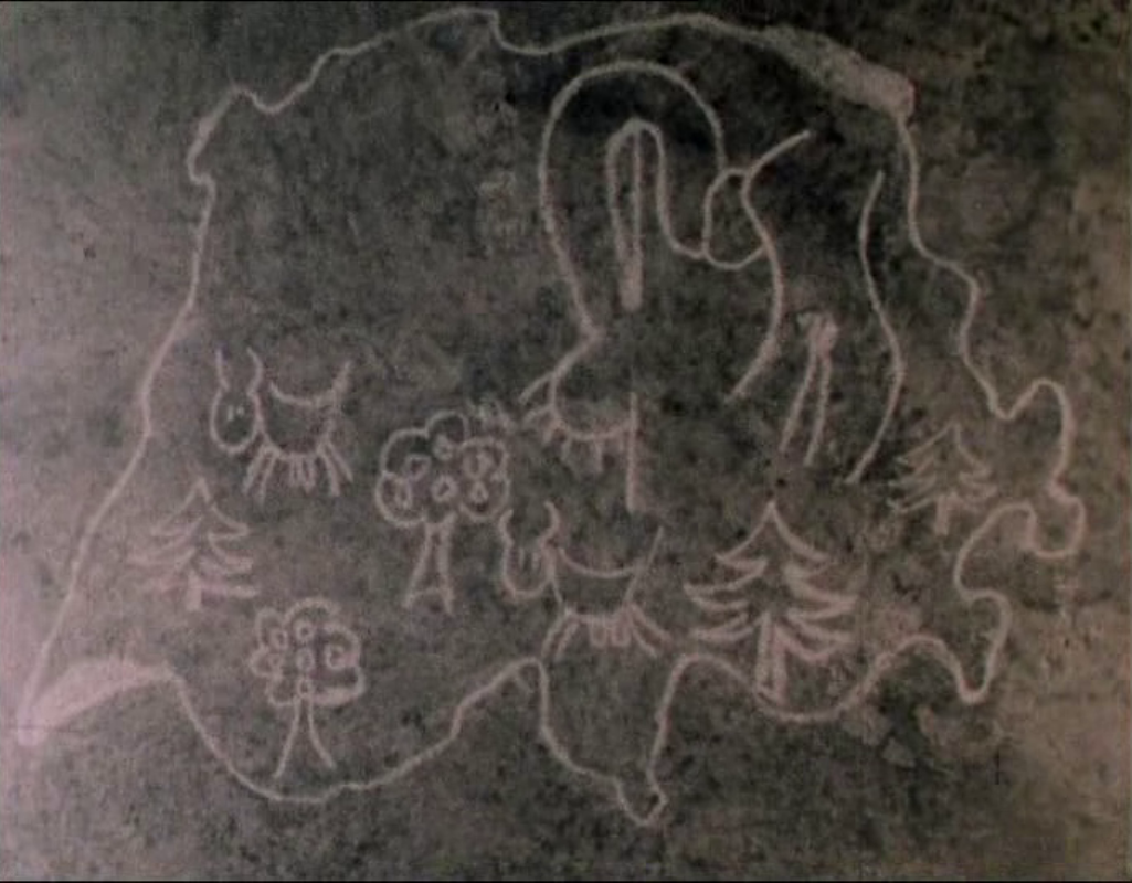
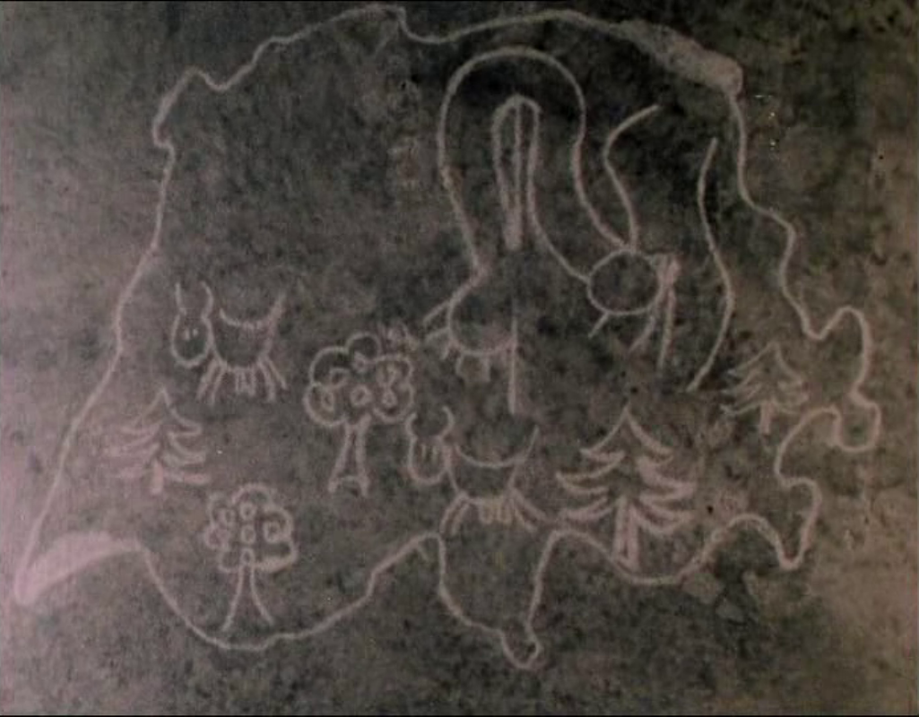
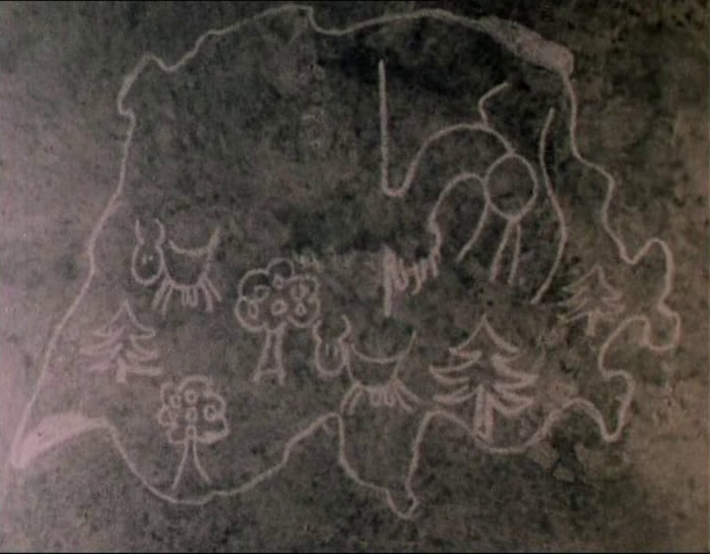
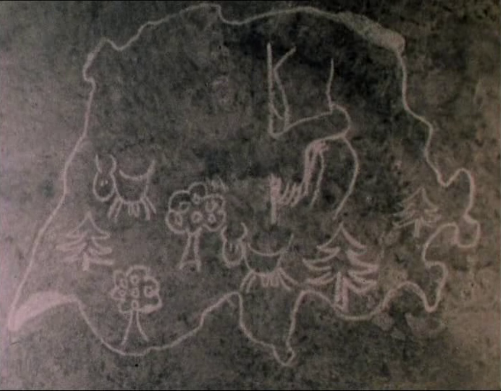
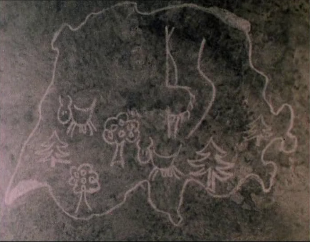
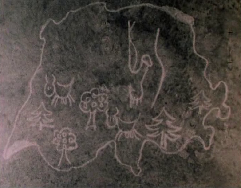
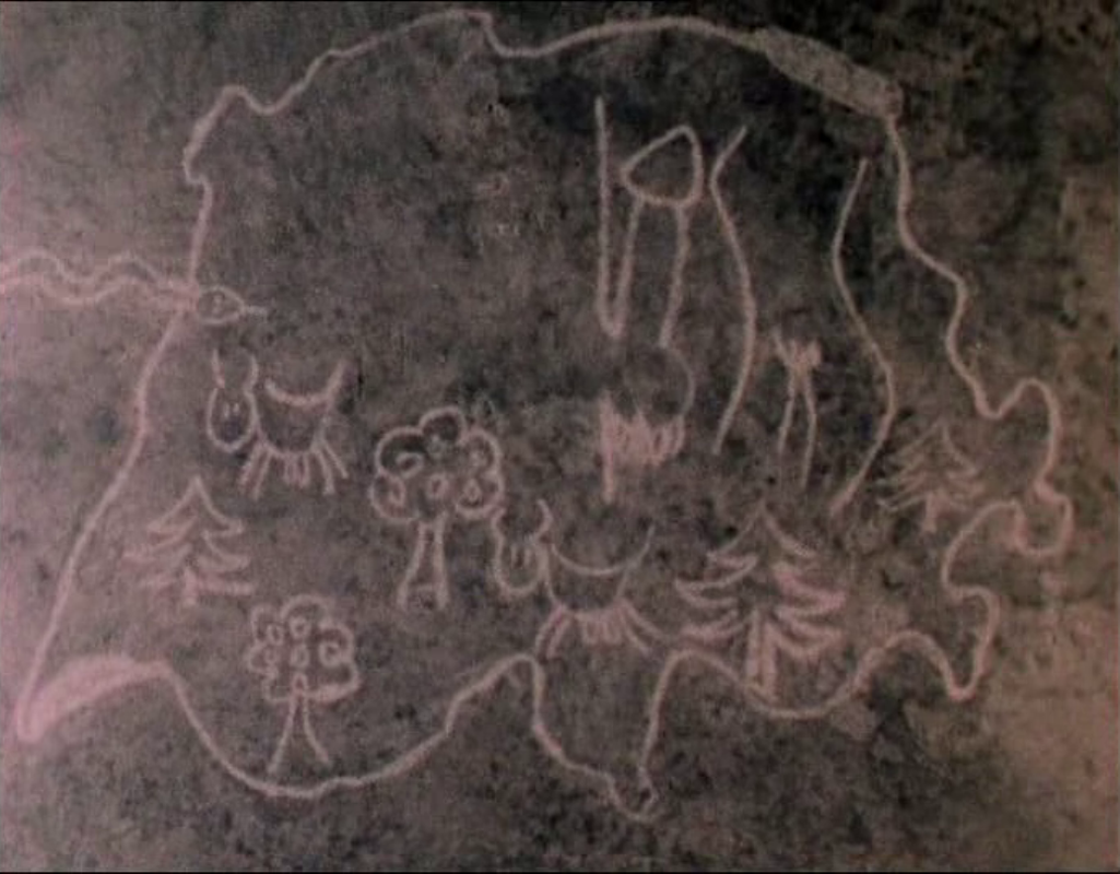
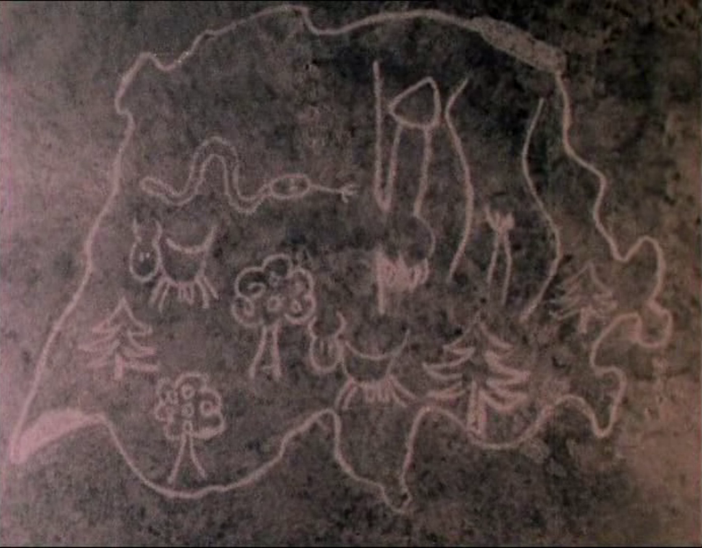
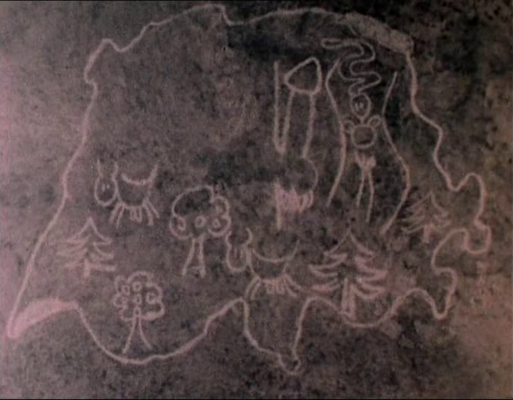
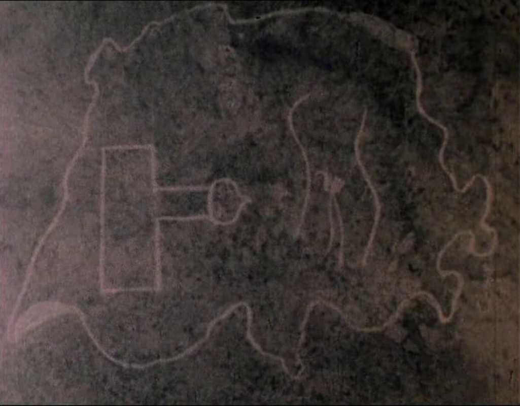
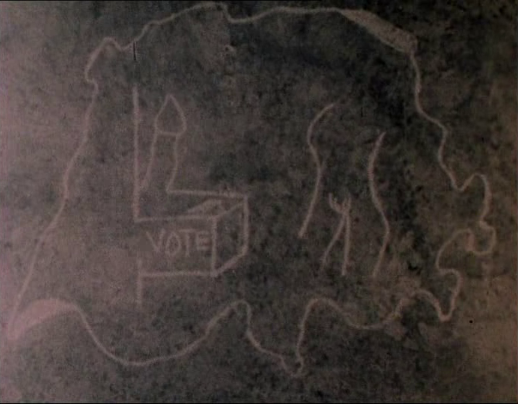
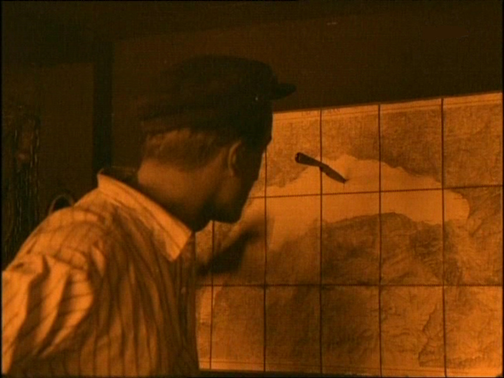
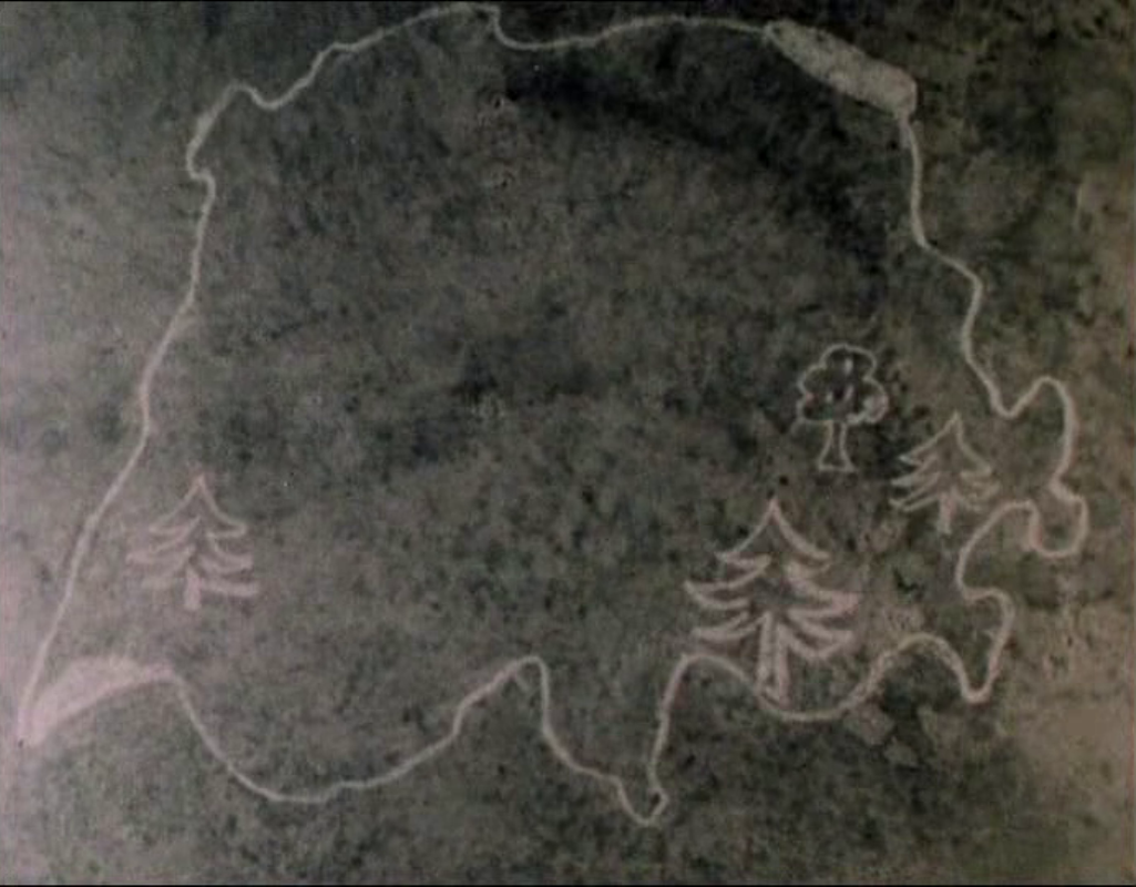
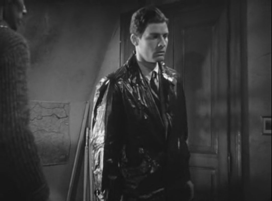
Another map I can't localise, beyond an assumption that it is of somewhere in Switzerland - at this part of the film we are supposed to be in Zurich. Any suggestions here, please. 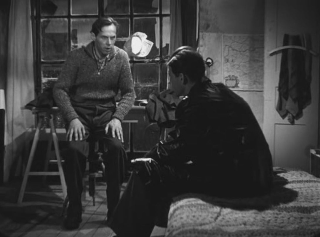

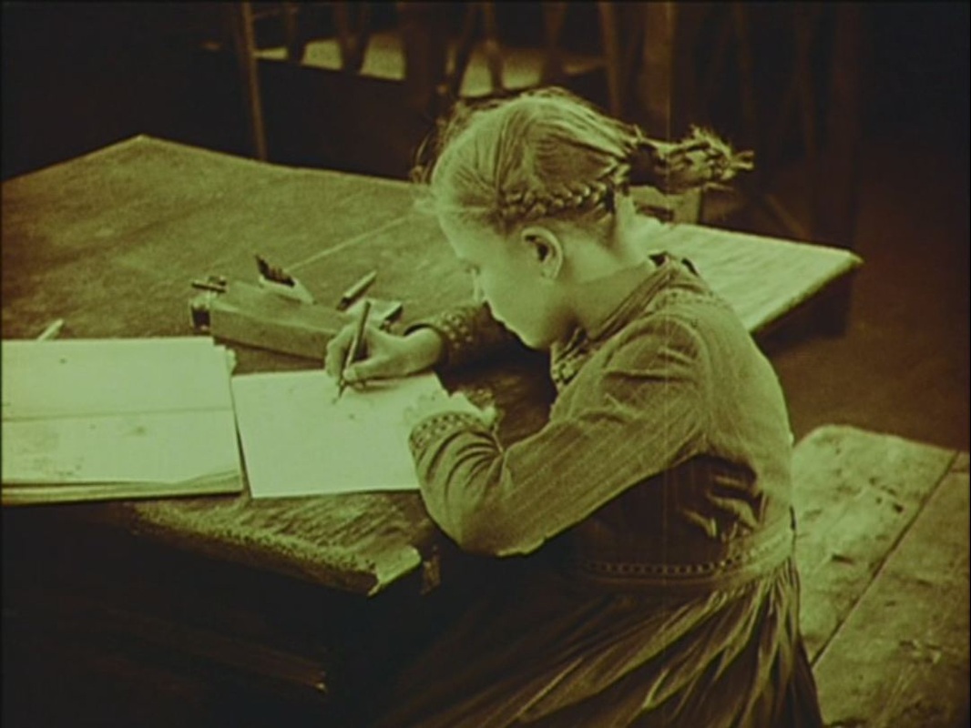
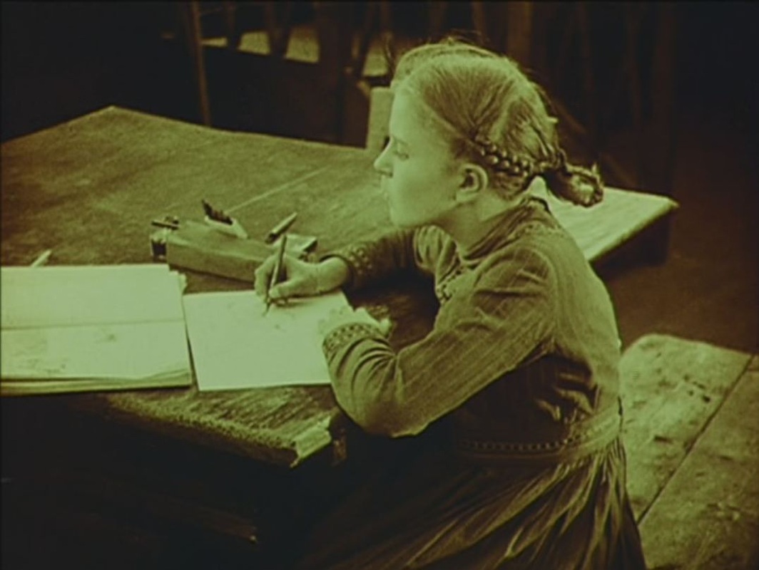
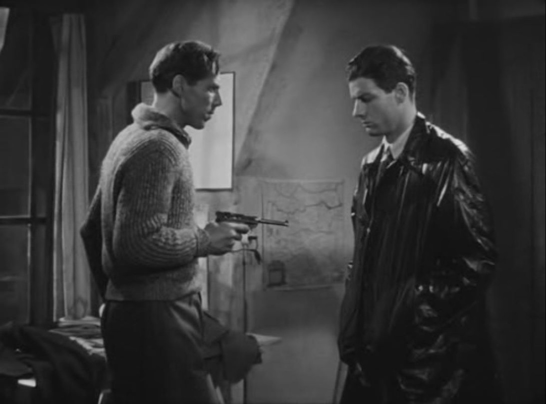
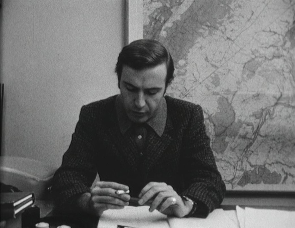 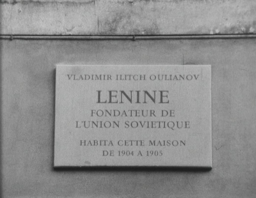 Among the several modes of representation at work in Soutter's third film, the opposition documentary/fiction is central. In front of a large regional map a journalist who is preparing a broadcast on Lenin's time in Geneva enumerates to camera his various addresses, and the film documents each of them. When the last of these, 61 rue des Maraîchers, is shown, a woman with a suitcase walks into the building, initiating the fiction: 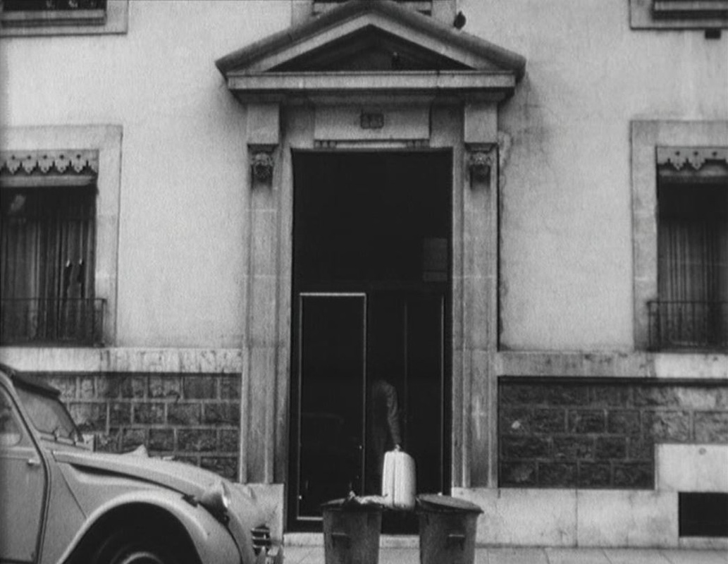 Later we see the journalist's office as part of the fictional world (the camera angle has changed), as the scene of a discussion between the journalist and a work colleague: 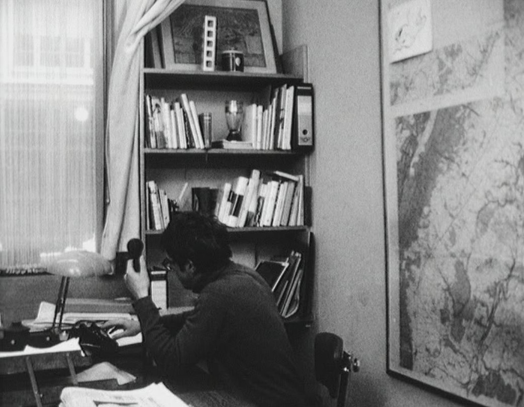 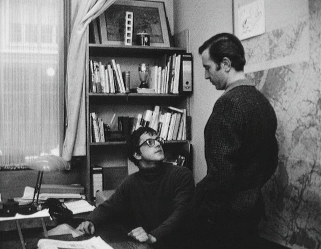 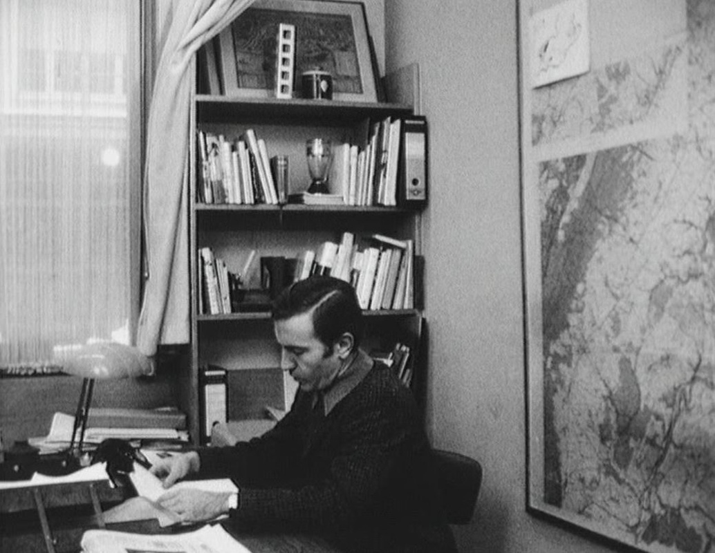 The work colleague is the former boyfriend of the woman with the suitcase. We see him tracing on a map his way to the building she had arrived at. Immediately afterwards, the journalist plots on the same map some locations associated with Lenin, including that apartment building: 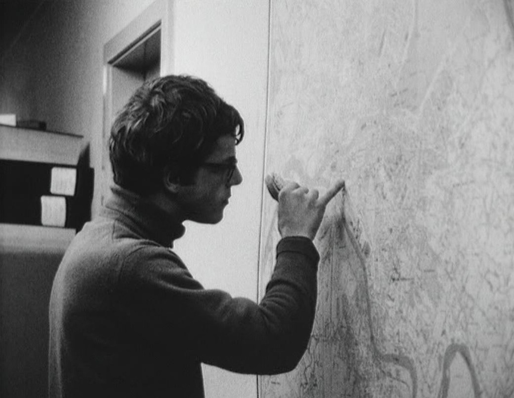 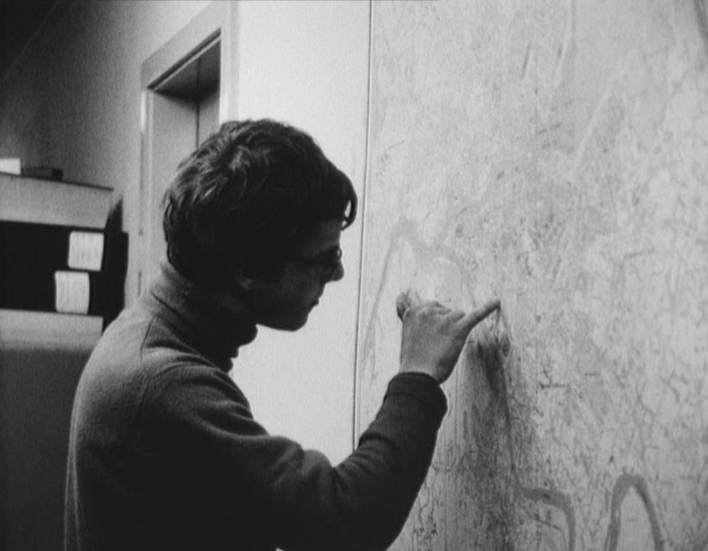 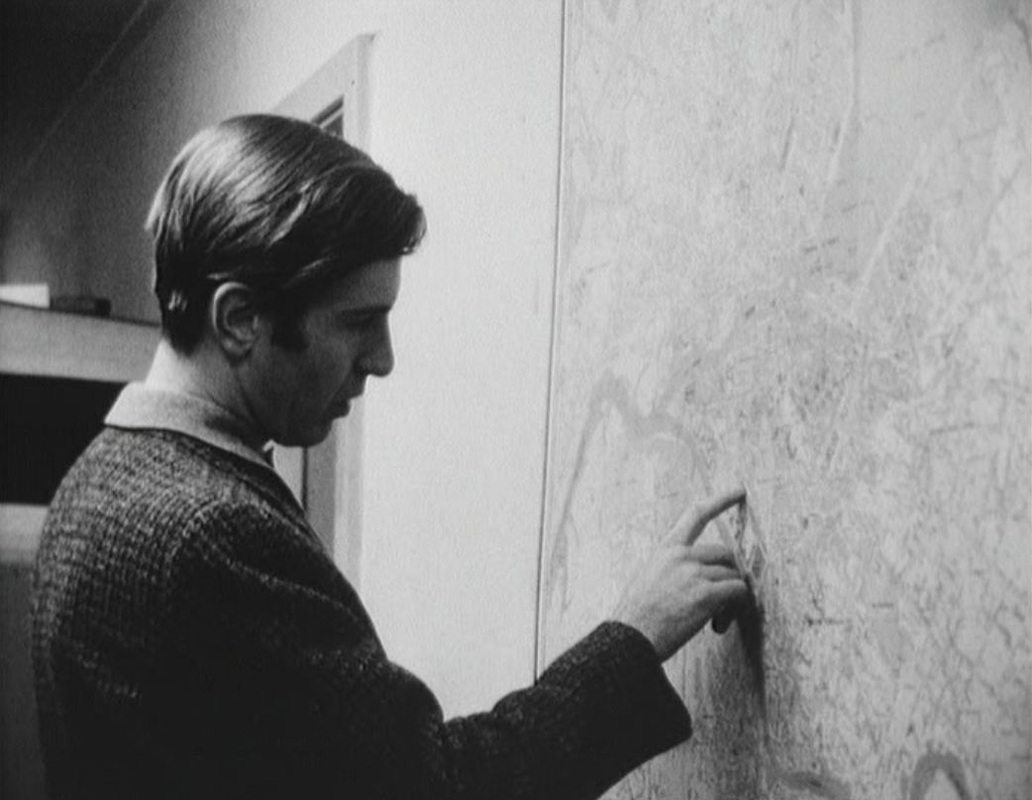 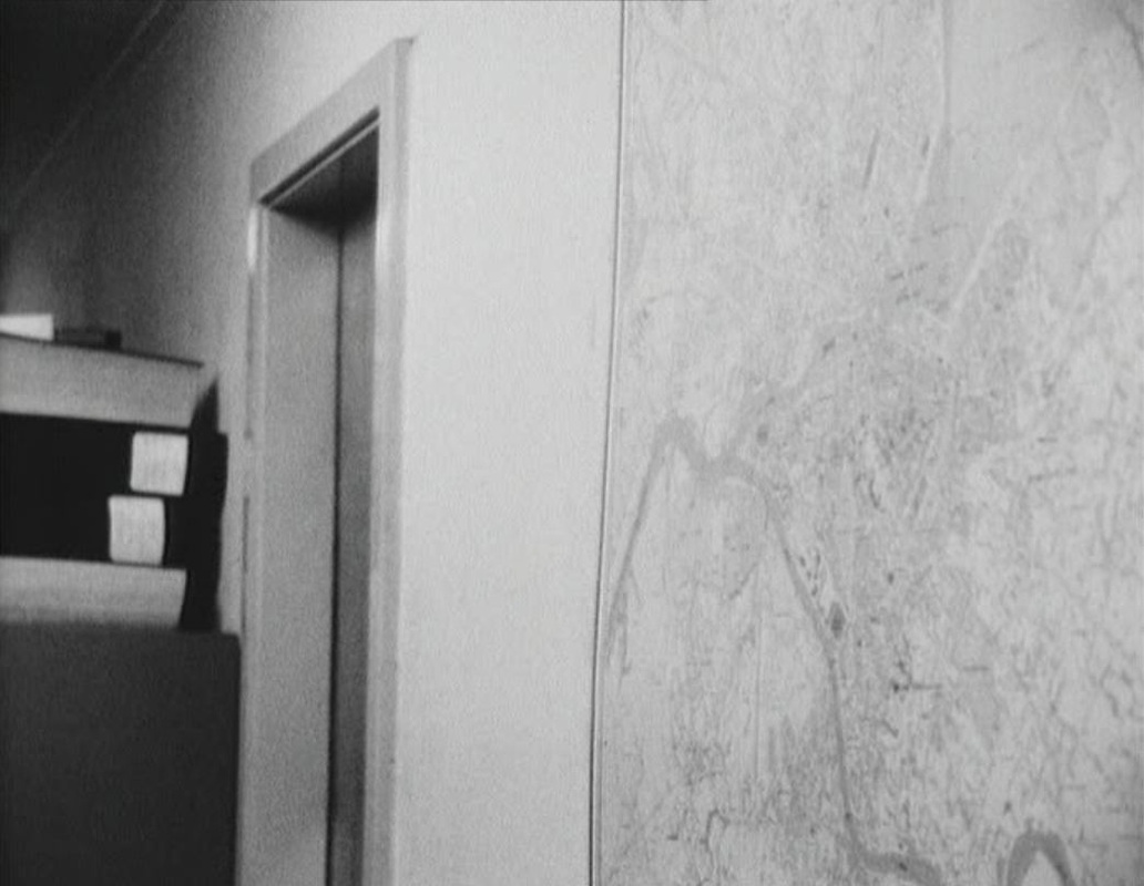 With the eventual implication of the journalist in the fiction around the woman, the documenting of Lenin's years in Geneva is abandoned. Rather, the film ends on alternative fictional modes - song and slapstick:   Baier's road movie goes from Lausanne to Warsaw, a journey imagined by the protagonist firstly as a variant of Sutter's journey from Switzerland to California, as related by Cendrars in his novel L'Or: 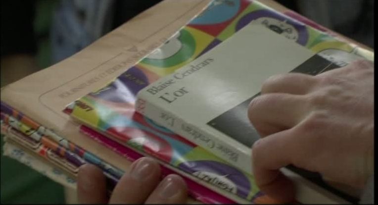 He imagines the landscape of Sutter's destination as he sits in a meeting beside a map, and then superimposes the flag of Poland onto that landscape: 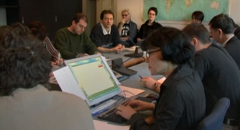  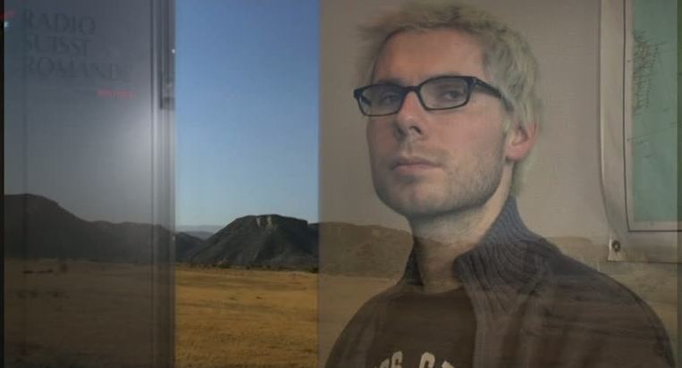 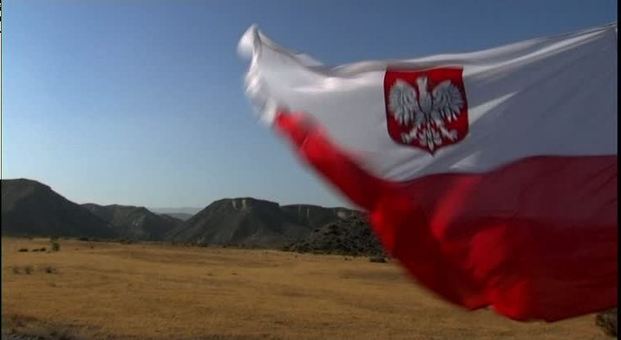 His preparations for the journey include buying histories of and guides to Poland, and a friend's gift of a copy of Cendrars's novel in Polish: 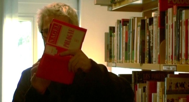 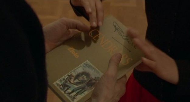 At the end of the film we are shown that In the margins of this copy he has made personal notes, and drawn onto a blank page a map of his journey: 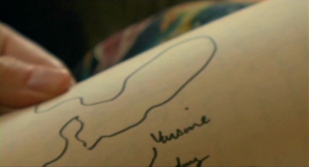 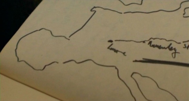 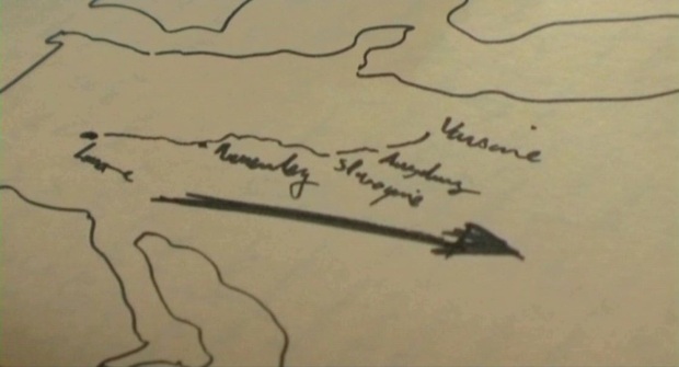 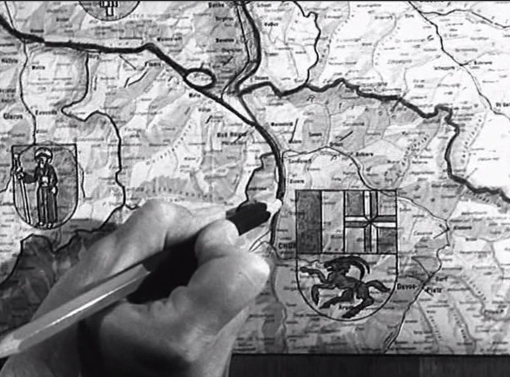 Maps provide familiar background décor in the police inspector's office and in the schoolroom: 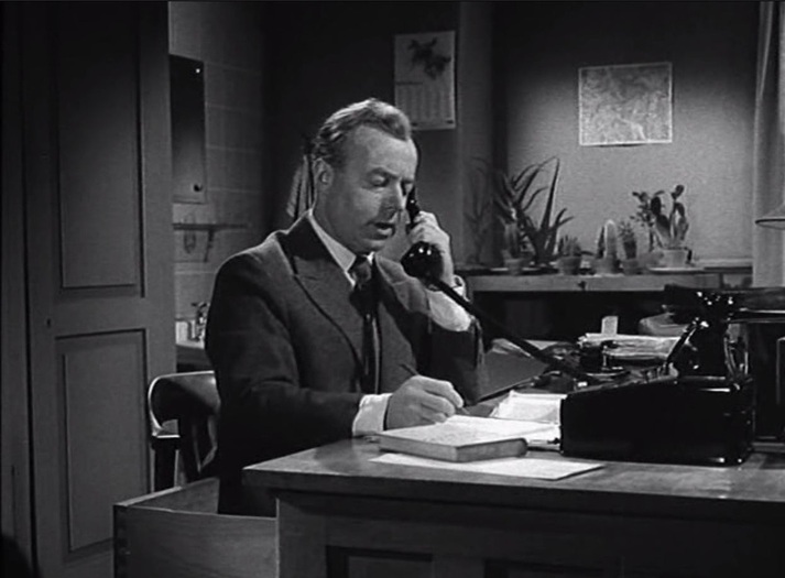 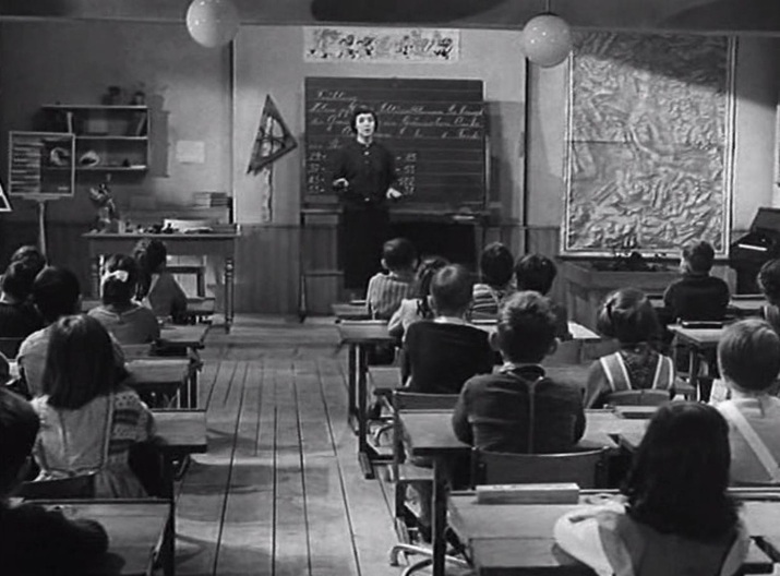 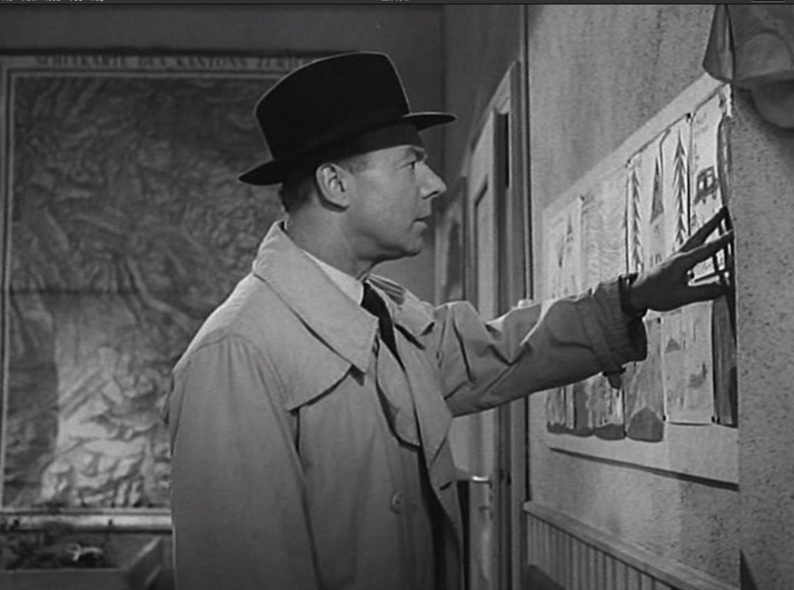 The inspector finds a clue in a child's drawing, where the ibex from the cantonal coat of arms of Graubünden is represented. On the map he works out where he will find the child-killer: 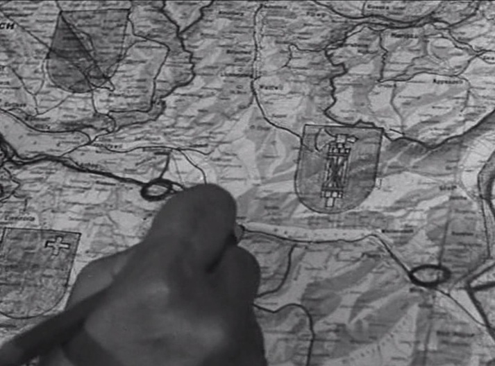 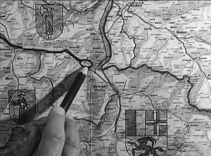  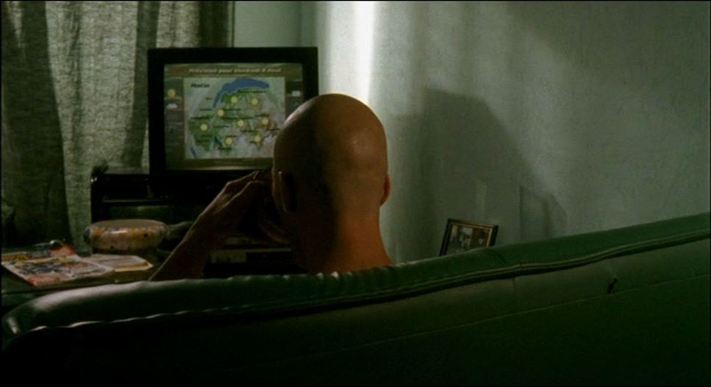 Le Clan (Gaël Morel 2004): Lac de Genève & Haute Savoie Maps often appear in television weather reports or news broadcasts, as background (as above) or foregrounded as a motif (as below): 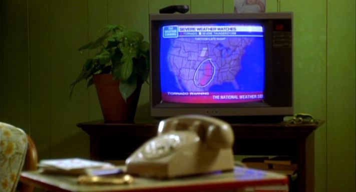 Where the Heart Is (Matt Williams 2000): United States - Texas, Oklahoma, Kansas Here are eight further instances of maps on tv screens in films: 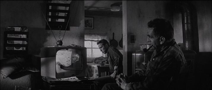 In Cold Blood (Richard Brooks 1966) 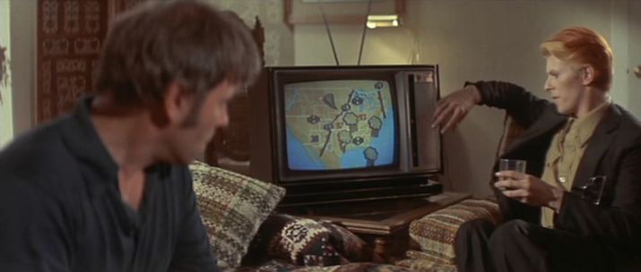 The Man Who Fell To Earth (Nicolas Roeg 1976): United States 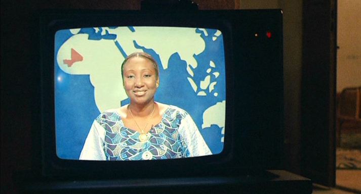 Bamako (Abderrahmane Sissako 2006): Mali 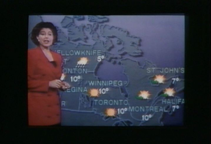 Love & Human Remains (Denys Arcand 1993): Canada  Caché (Michael Haneke 2005): Africa & the Americas 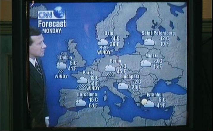 La Cérémonie (Claude Chabrol 1995): Europe  Pola X (Leos Carax 1999): France 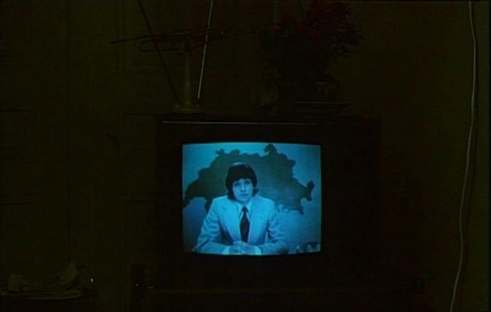 Jonas qui aura 25 ans en l'an 2000 (Alain Tanner 1976): Switzerland 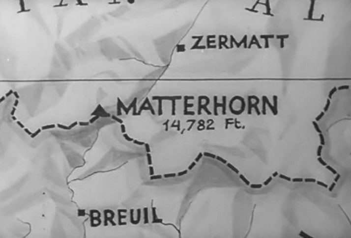 In 1937 Luis Trenker played the Italian climber Carrel in both the German and British accounts of Whymper's conquest of the Matterhorn (the German version was also adapted for the Italian market as La Grande Conquista). The films shared the Trenker-directed sequences shot on and around the mountain, but the Korda-produced British version added several interior scenes, including some set in London. Trenker said at the time that 'there is very little difference between the two versions: mine has more outdoors and less in'. The British version also added a map after the explanatory prologue, so that its local audience could locate exactly the most famous mountain in Europe: 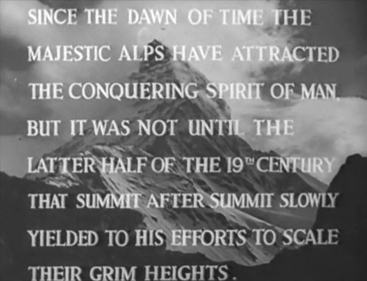 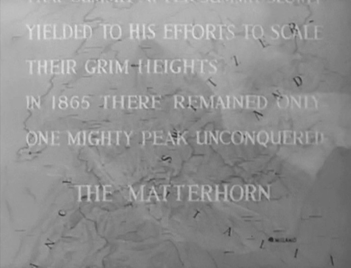 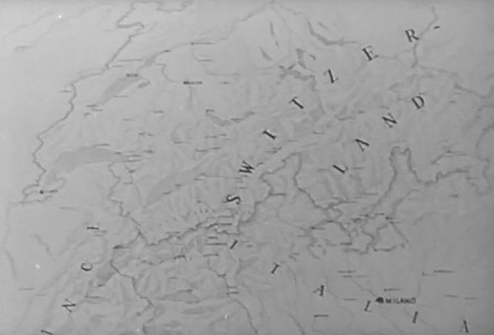 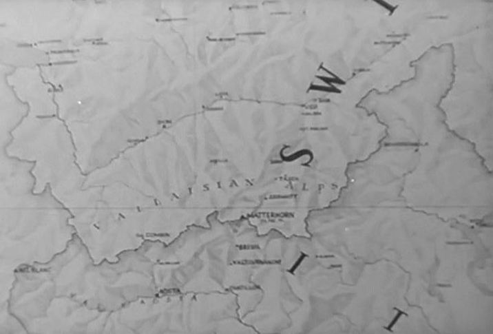 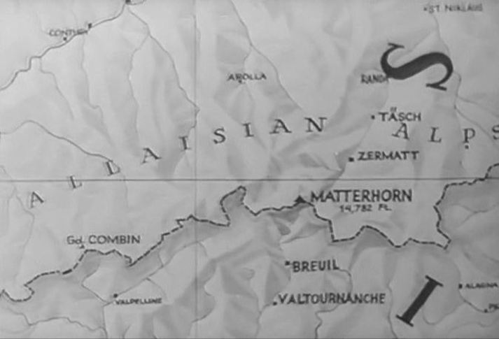  Later in the film, an animated graphic is provided to illustrate the progress of the competing Italian and British parties: 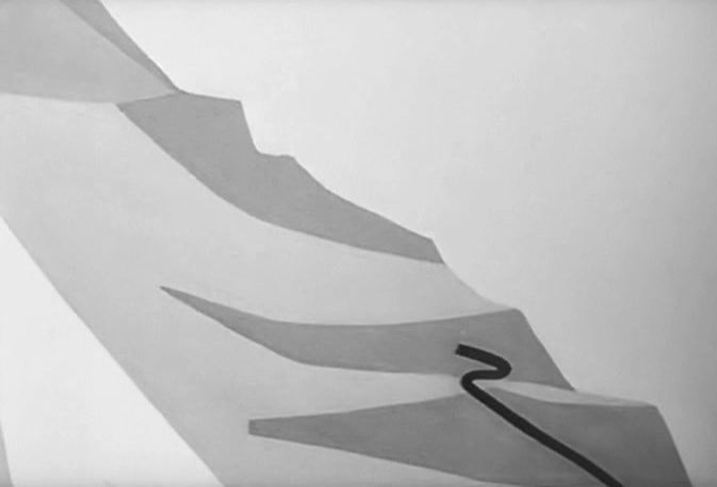 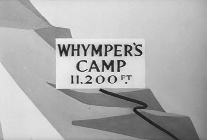 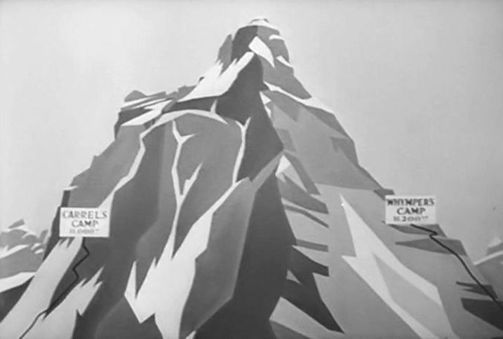 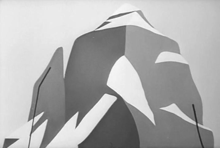 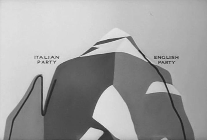 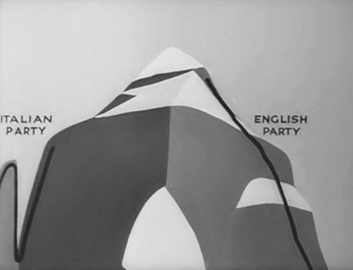 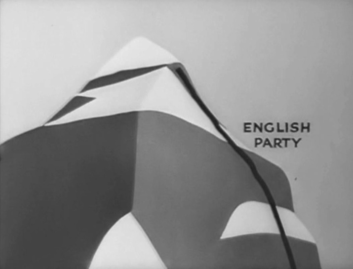 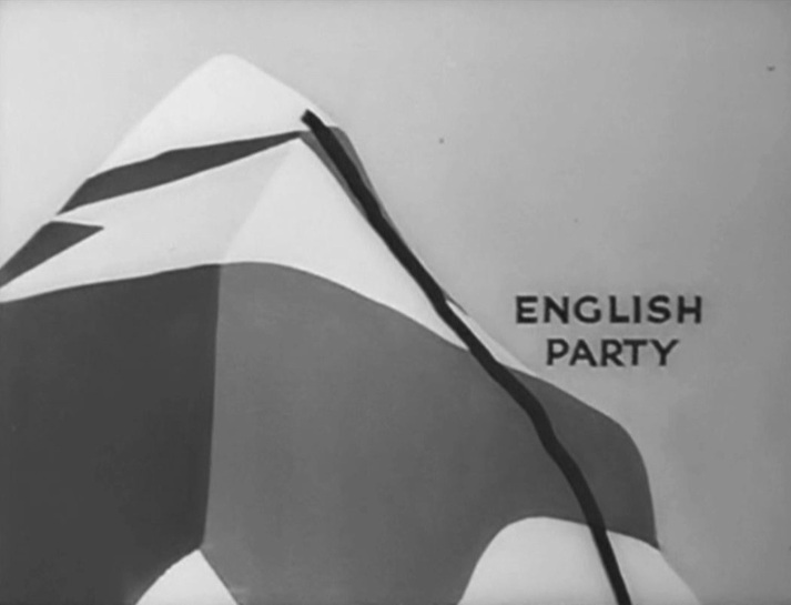 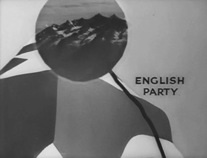 There are no such visual aids in Trenker's version, and there is only one map in the whole film. It is on the table when Carrel is invited to an eminent person's house to discuss climbing the Matterhorn. His host has a magnifying glass in his hand, as if he had been studying the map, but no one looks at the map in the course of this sequence. Instead, Carrel uses the scale model of the mountain to illustrate the route he would take to the summit: 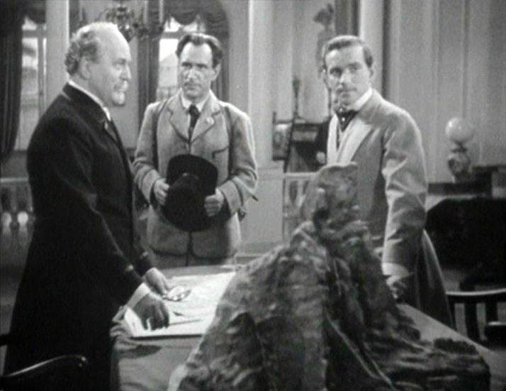 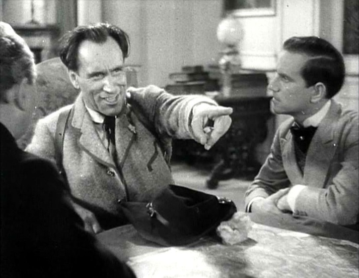 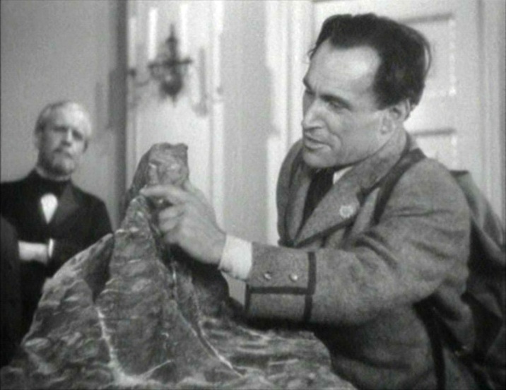  M’s outer office has the familiar wall maps that establish the global scale of MI6’s operations (see here for the first instance of this in the Bond canon): 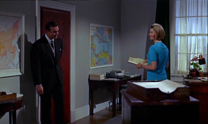 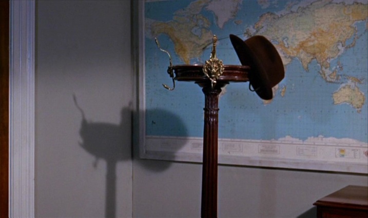 Bond’s in-car tracking device takes us from Stoke Park in Buckinghamshire to Southend Airport in Essex, then to Geneva. From there we go north (I can’t quite make out where), then on to Goldfinger’s factory between Stans and Stansstad, just south of Lucerne: 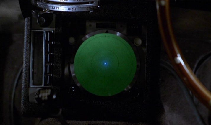 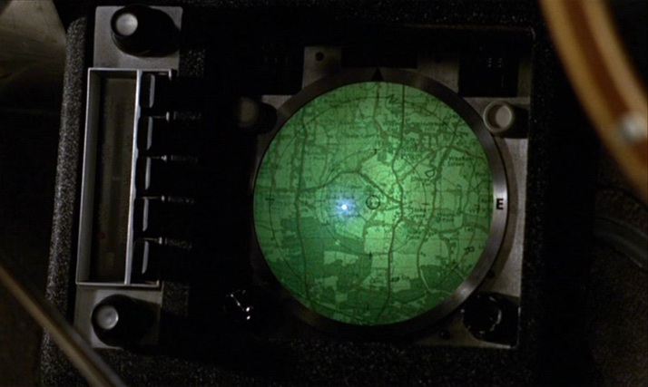 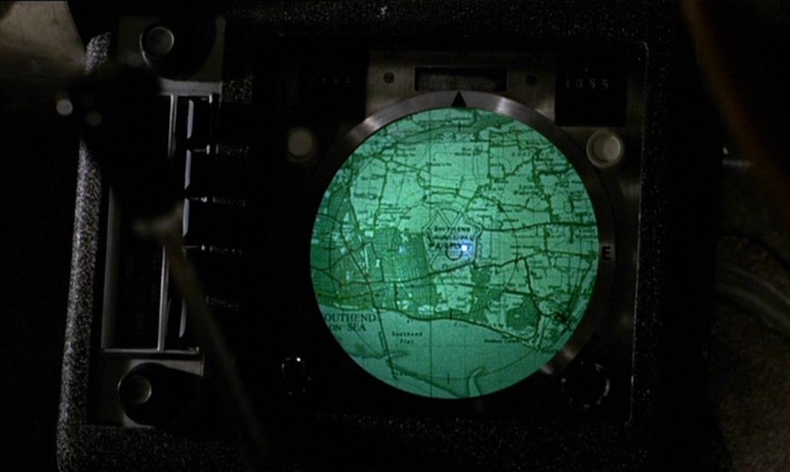 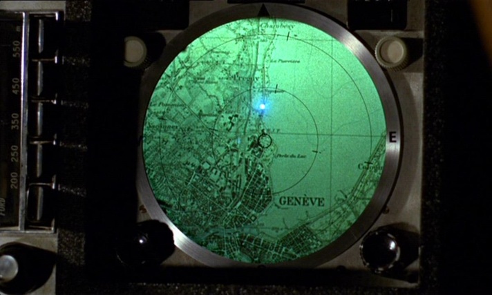 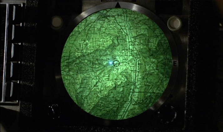 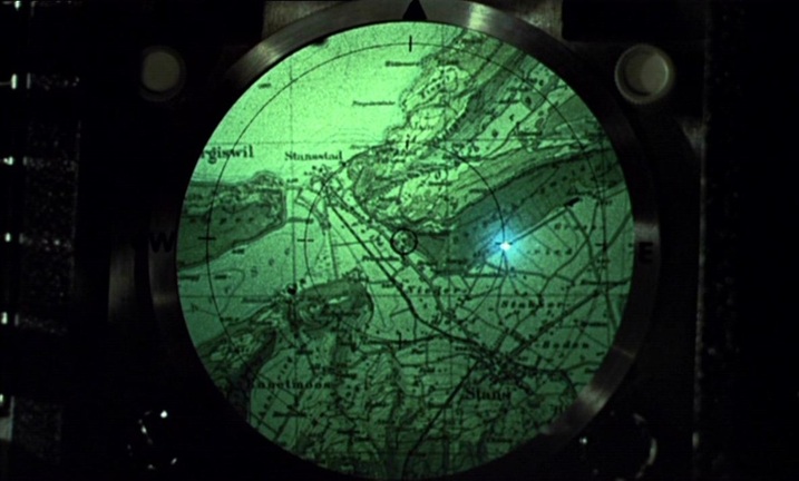 When the film cuts from the device to the terrain it represents, an irony is apparent in the contrast of horizontal (the map) and vertical (the mountains). Plotted against each other, you get the diagonal lines of one of cinema’s more famous mountain sequences: 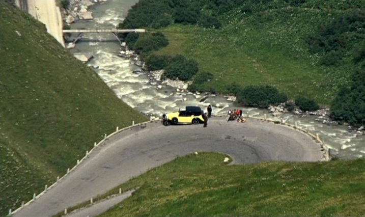 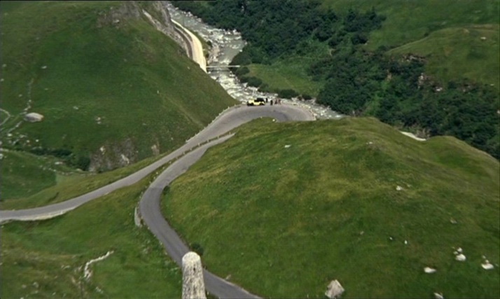 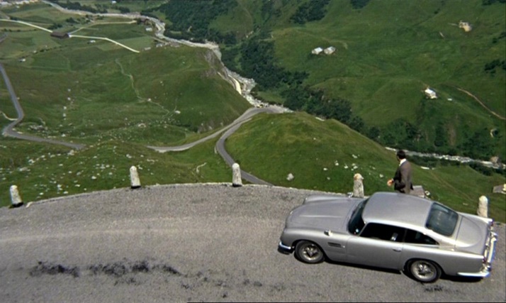 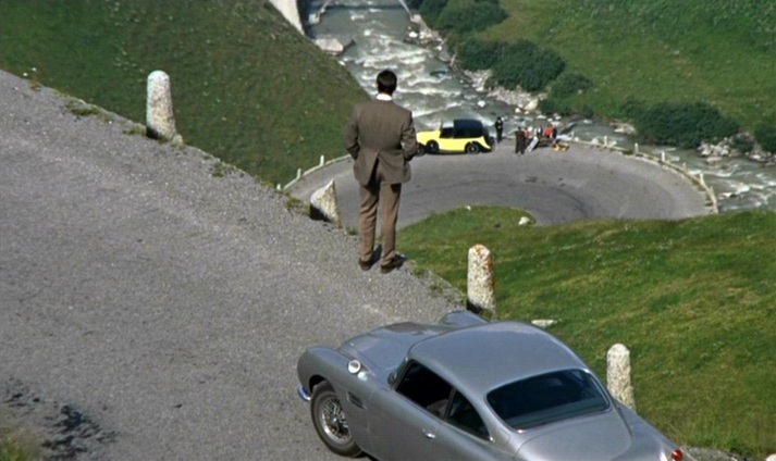 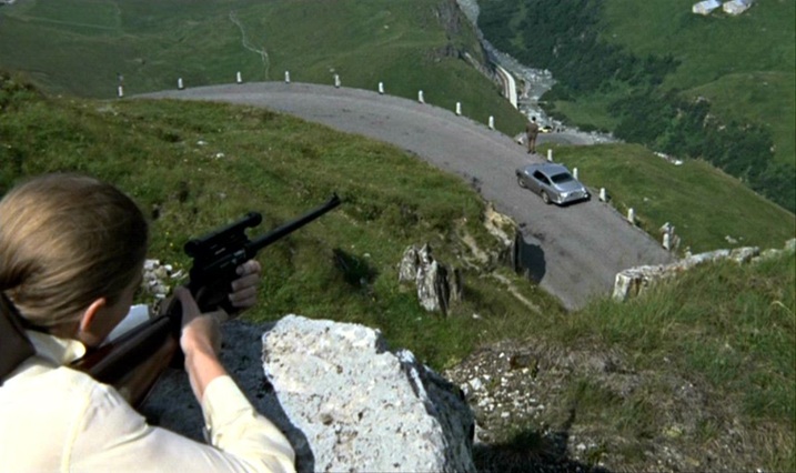 A similar tracking device later shows us the vicinity of Goldfinger’s lair near Fort Knox (Kentucky), but the efforts of the US agents to follow the plot on it are thwarted by Oddjob, and the device breaks down when the car it is tracking is crushed. 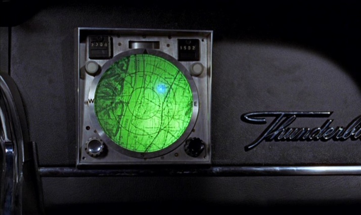 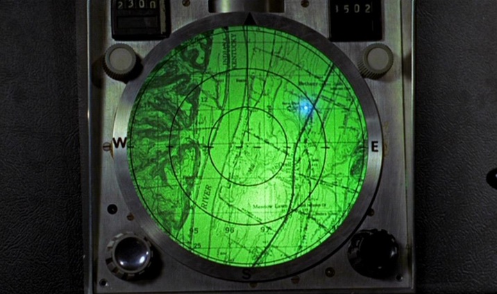 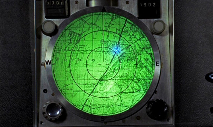 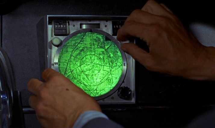 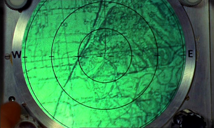 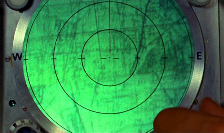 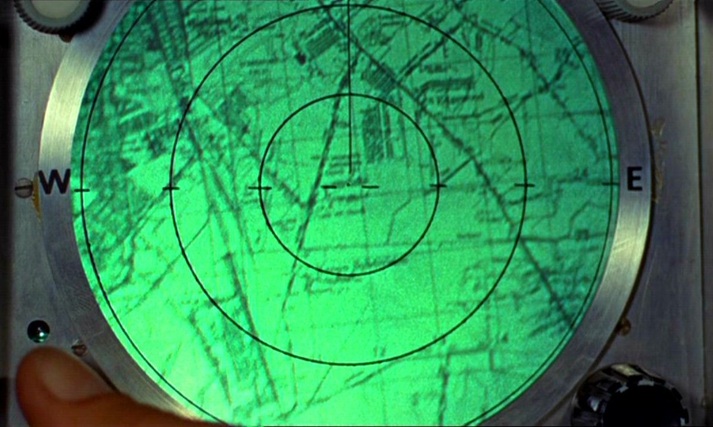 Unlike the lairs of so many other such villains, Goldfinger’s does not have large wall maps as décor. He has two smaller, horizontally placed maps at his desk but, as expressions of his power over the world through representation, his preferred alternatives to mapping are the aerial photograph and the scale model: 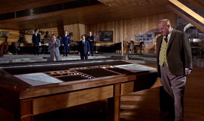 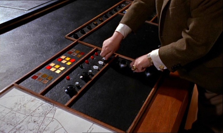 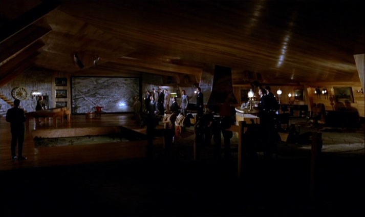 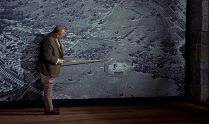 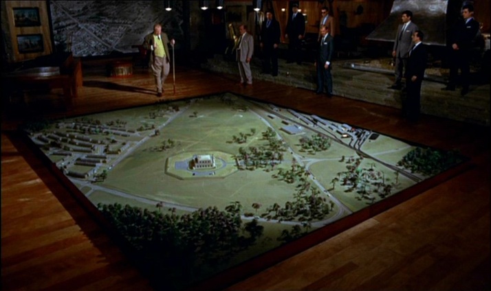 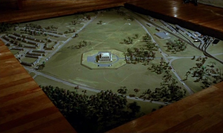 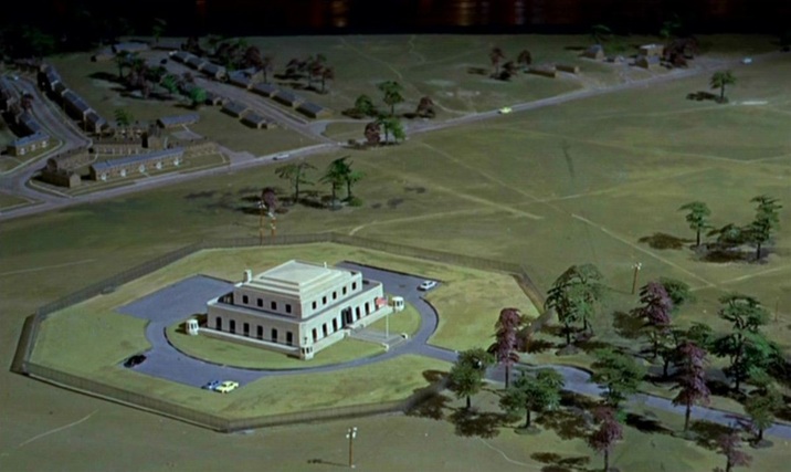 (Goldfinger is at one here with the film’s liking for aerial views.)  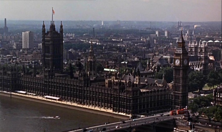 The film’s cartographic configurations conclude with the tracing of a vertical trajectory, as Bond and Pussy Galore parachute from a plane: 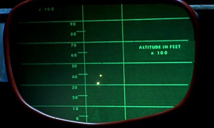 For further comment on the spatial machinery of this film, see: (e)space & fiction
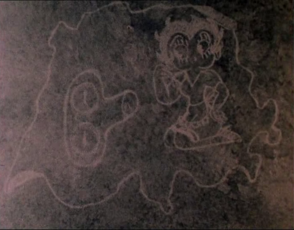
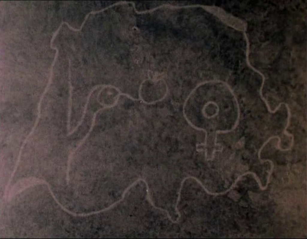
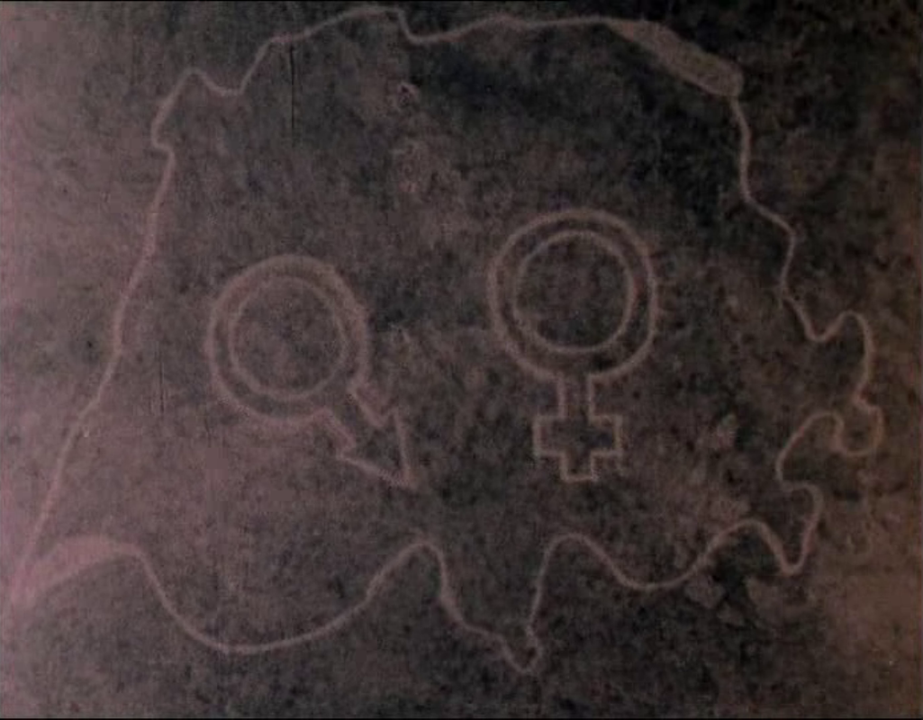
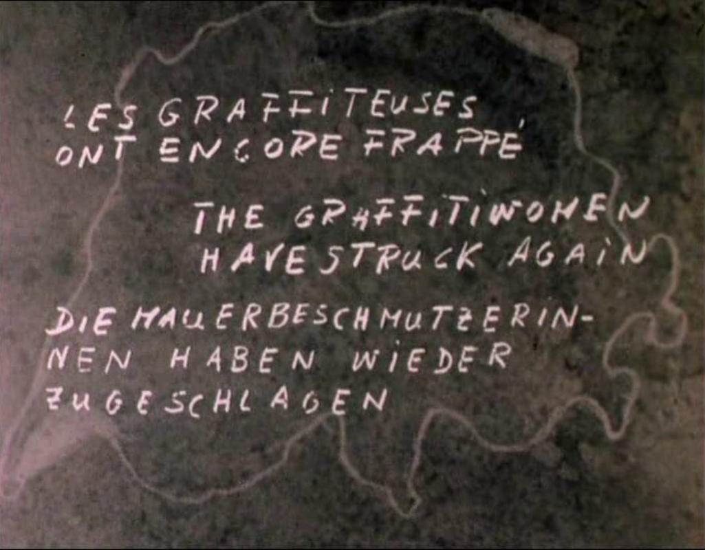
|