|
0 Comments
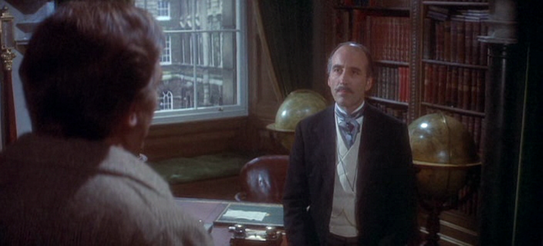
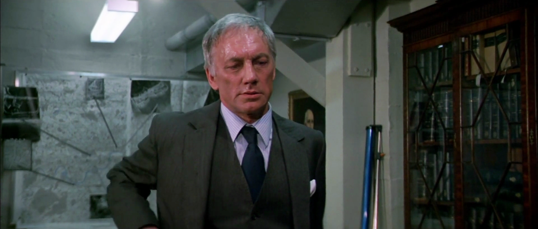
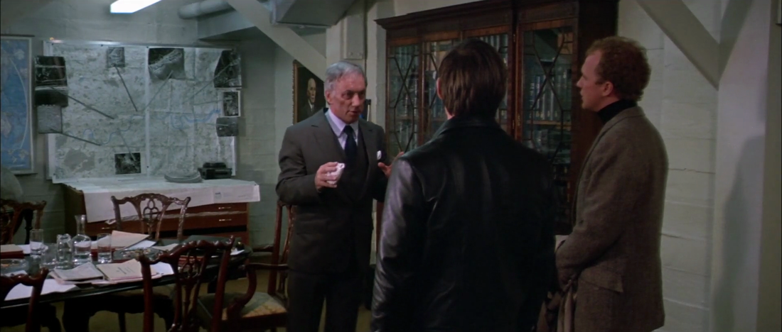
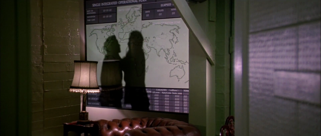
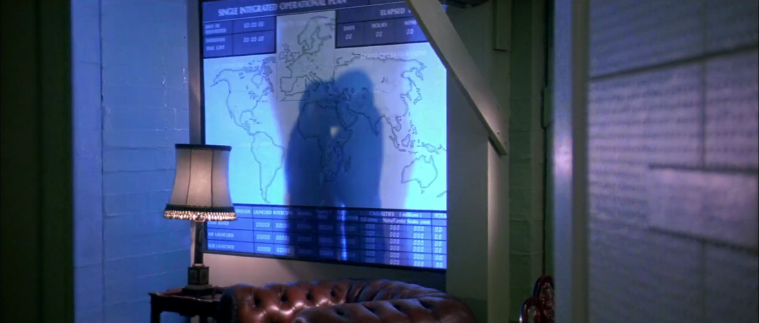
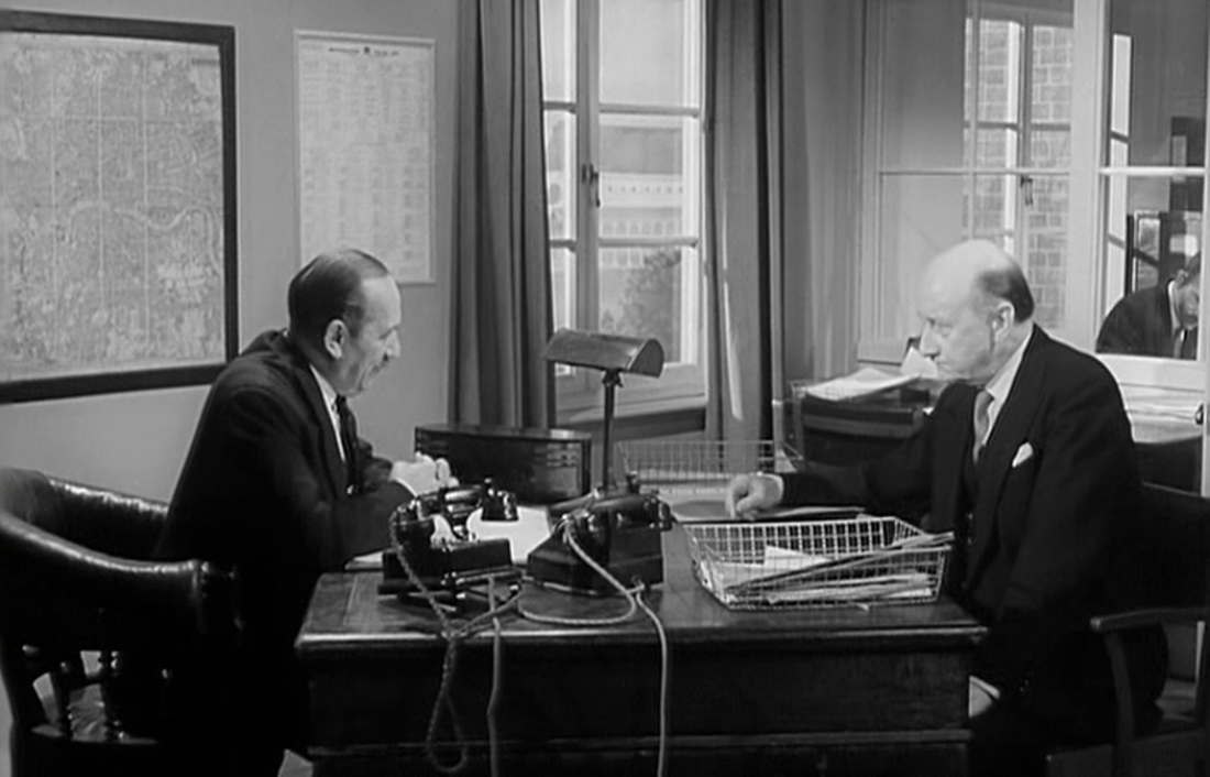
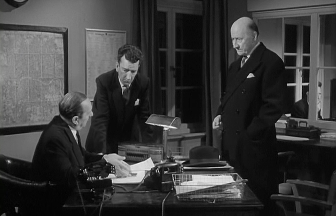
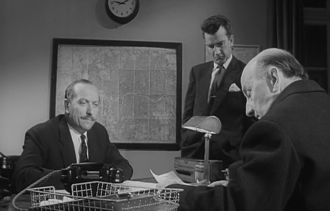
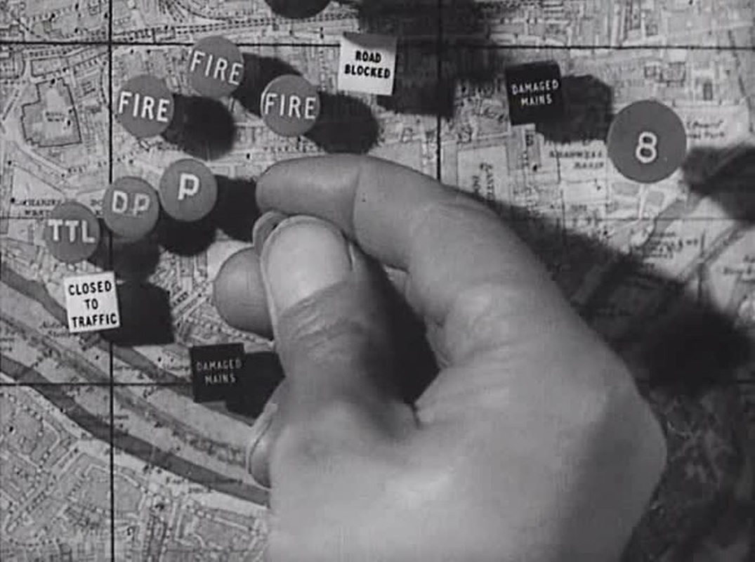
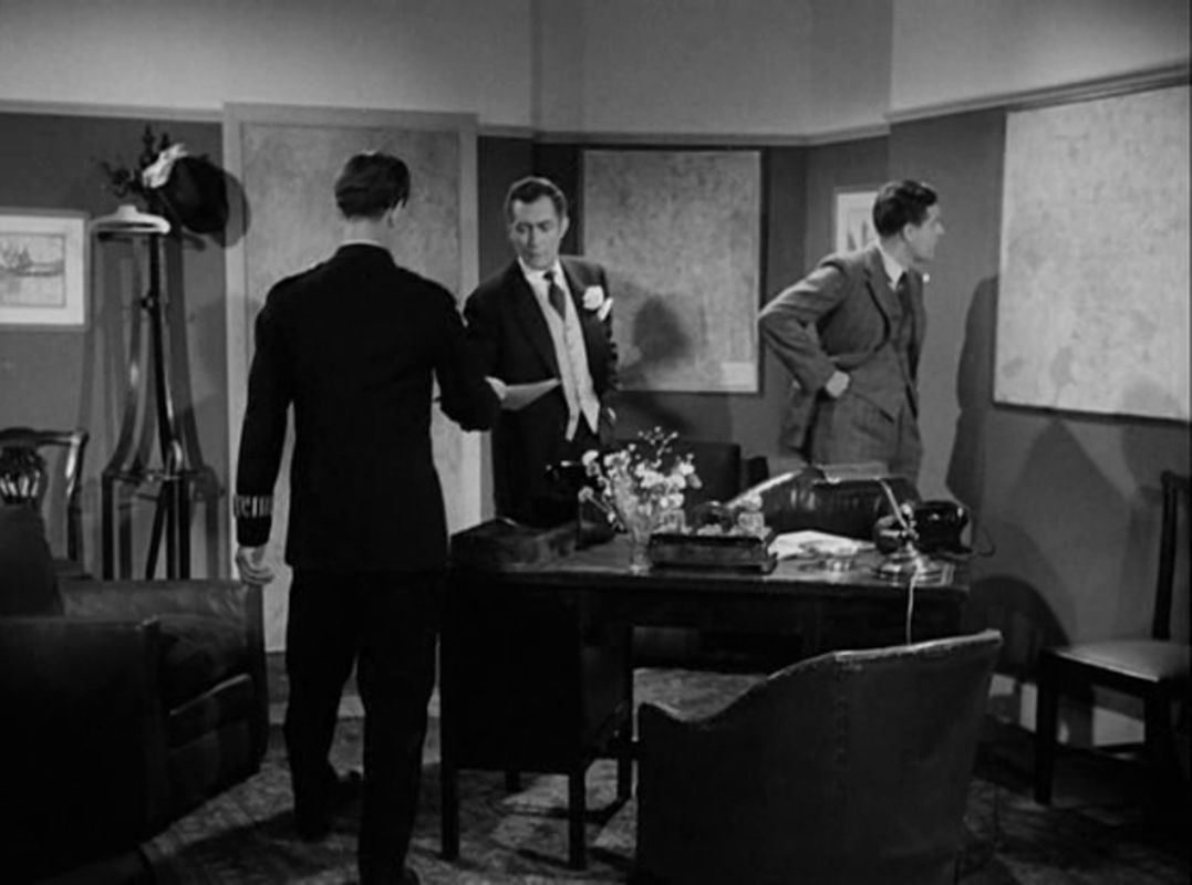
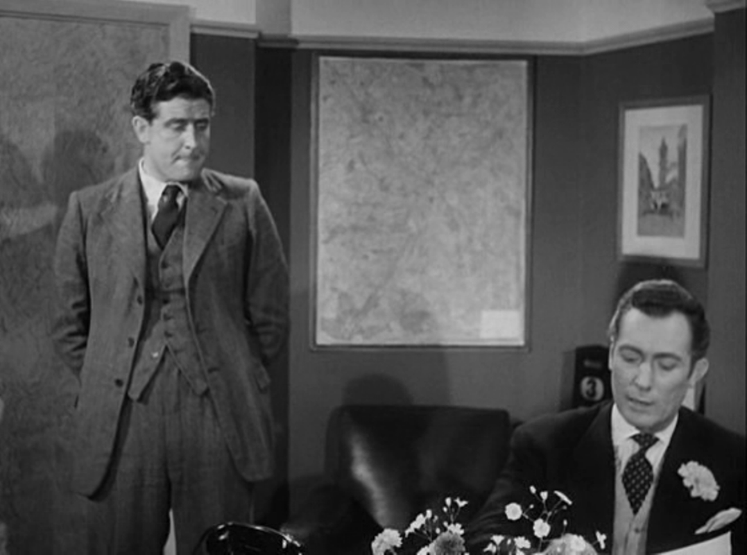
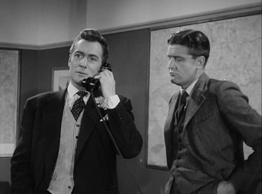
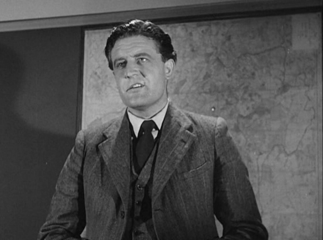
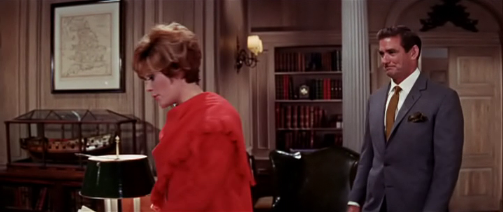
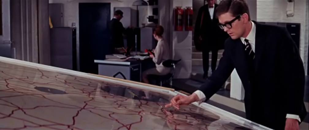
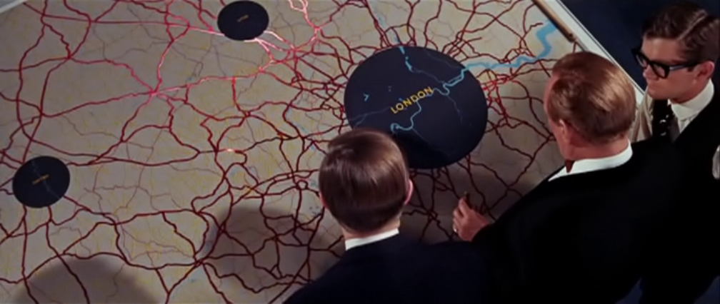
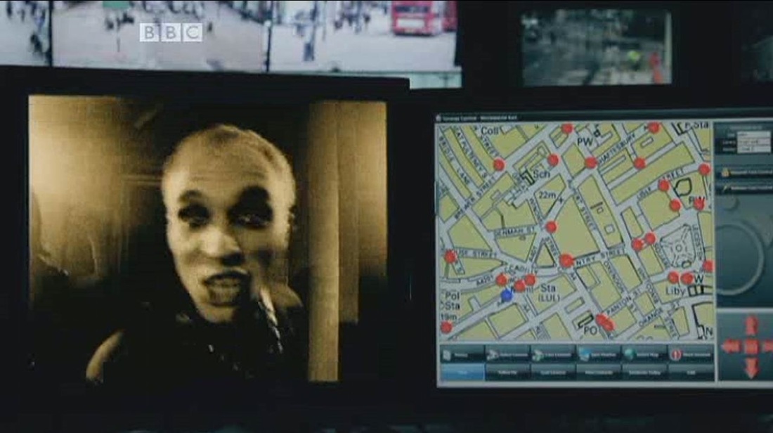
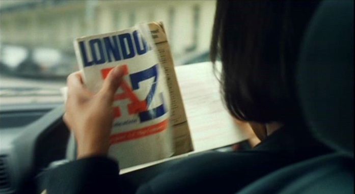
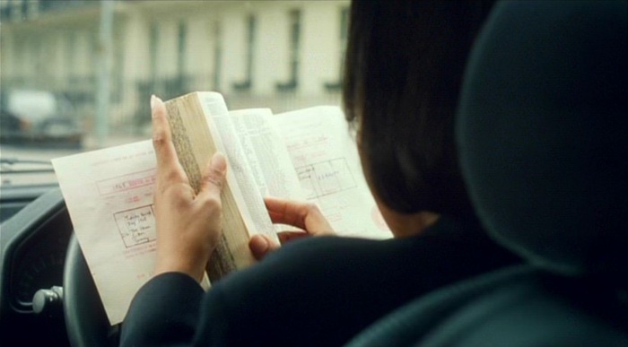
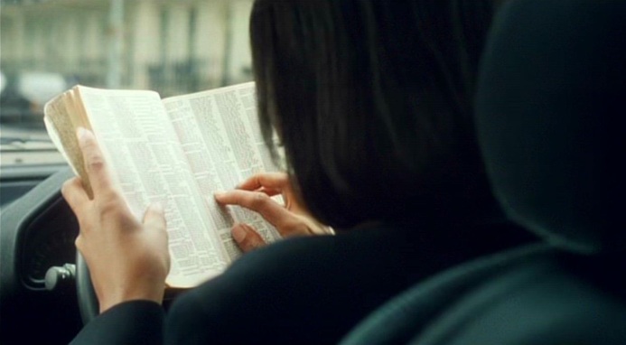
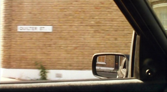
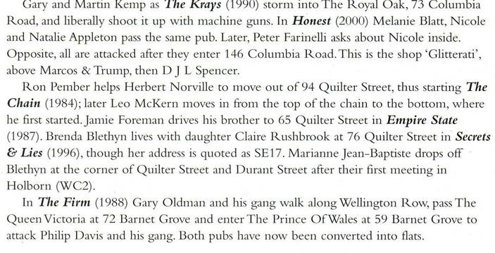
 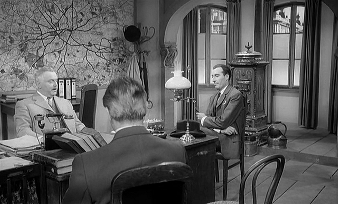 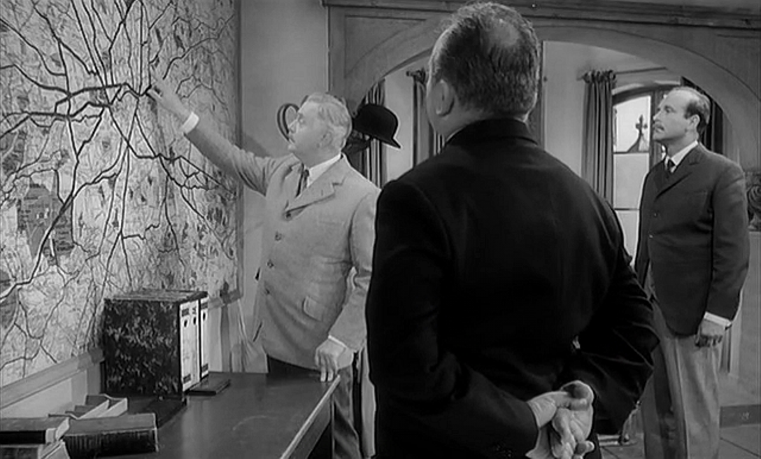   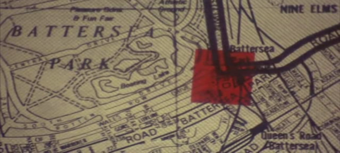 Any close-up of a map of Battersea immediately brings to mind the brilliant Cinematic Geographers of Battersea, definitive cine-mappers of this district:  The Battersea close-up shows one of the four locations where a murder will be committed. Another shows a location in Borough: 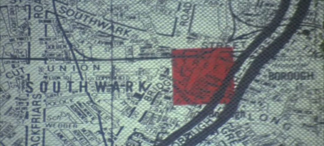 The map as a whole is shown several times, projected onto a screen in the home of the man planning those murders: 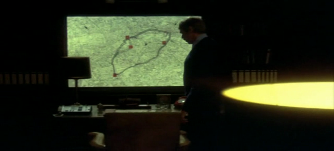 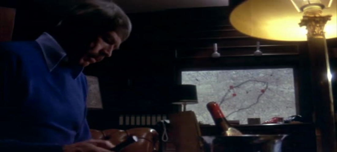 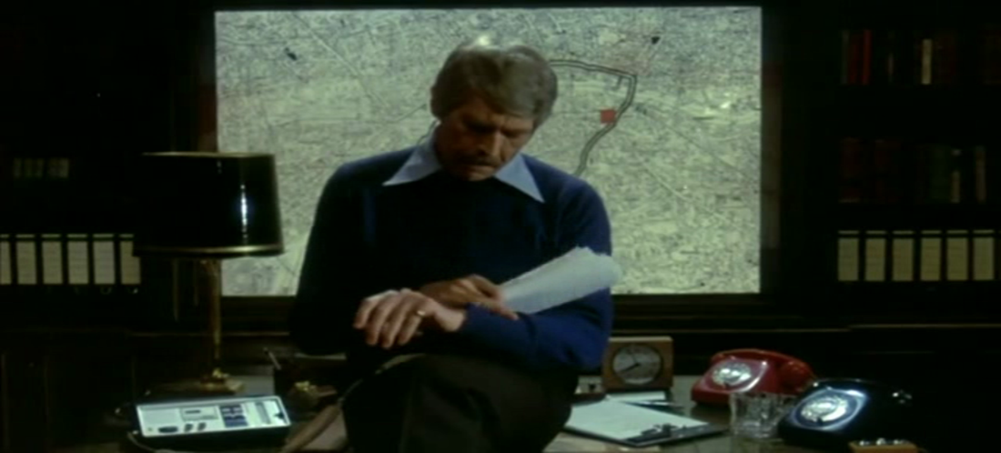  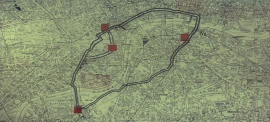 As the also brilliant sleuths at the Reel Streets website succinctly put it, the map 'cheats on all the locations': 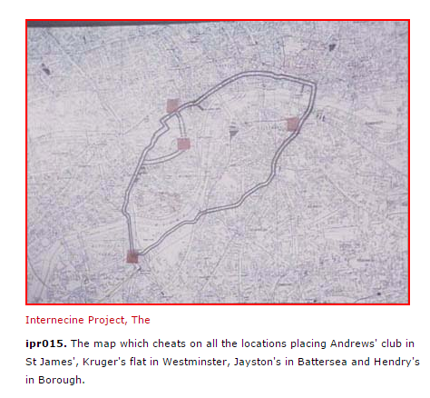 (Click on the above for the actual locations of this film, identified by Reel Streets.) The last we see of the map is when the villain throws a glass at the screen in frustration, damaging the area around Borough High Street:  The film opens with a quite different kind of map, though it too appears on a screen: 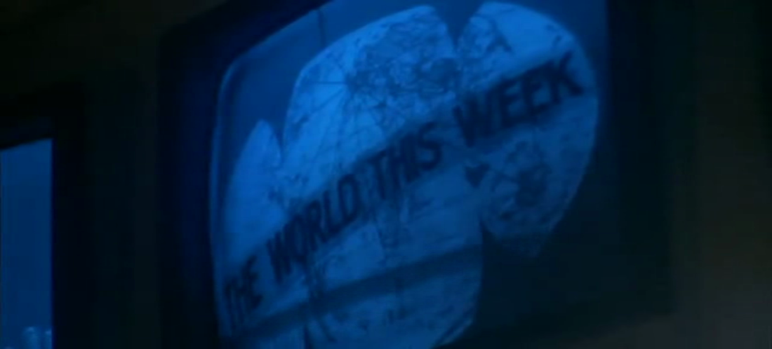 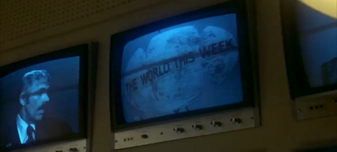 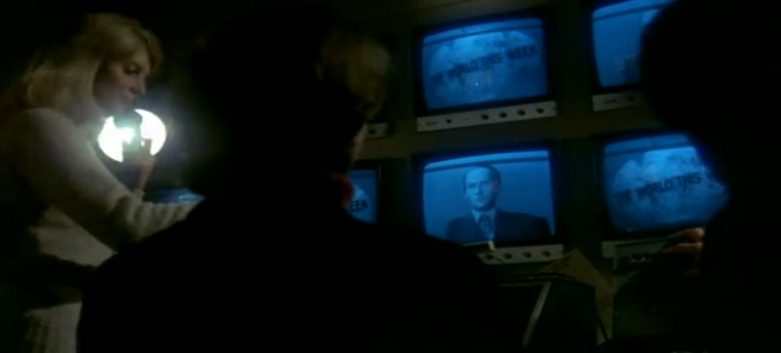 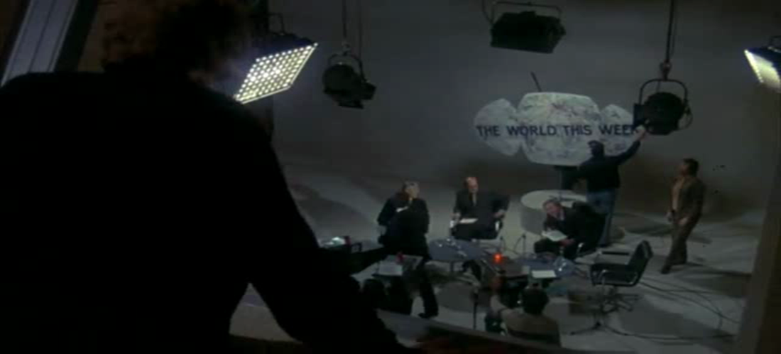 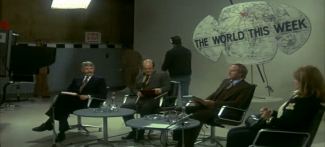 The 'world' of the television programme's title and logo is picked up in the ironic glimpse of a British Airways poster at the end of the film, when the murderous scheme is discovered to have been futile: 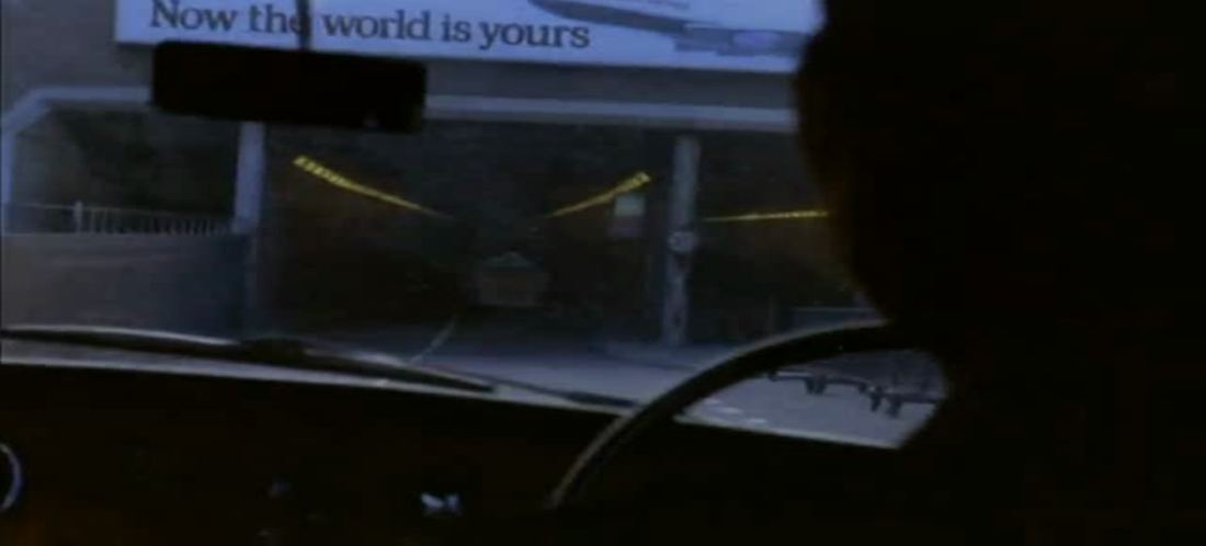 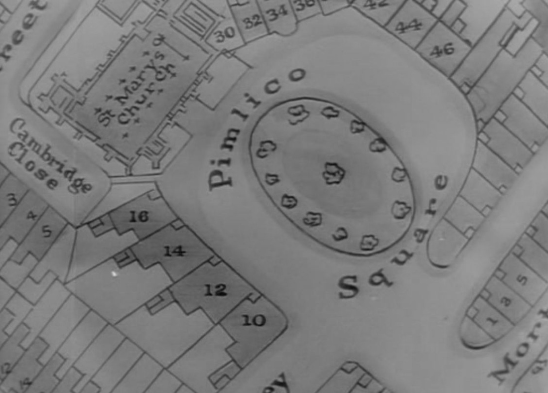 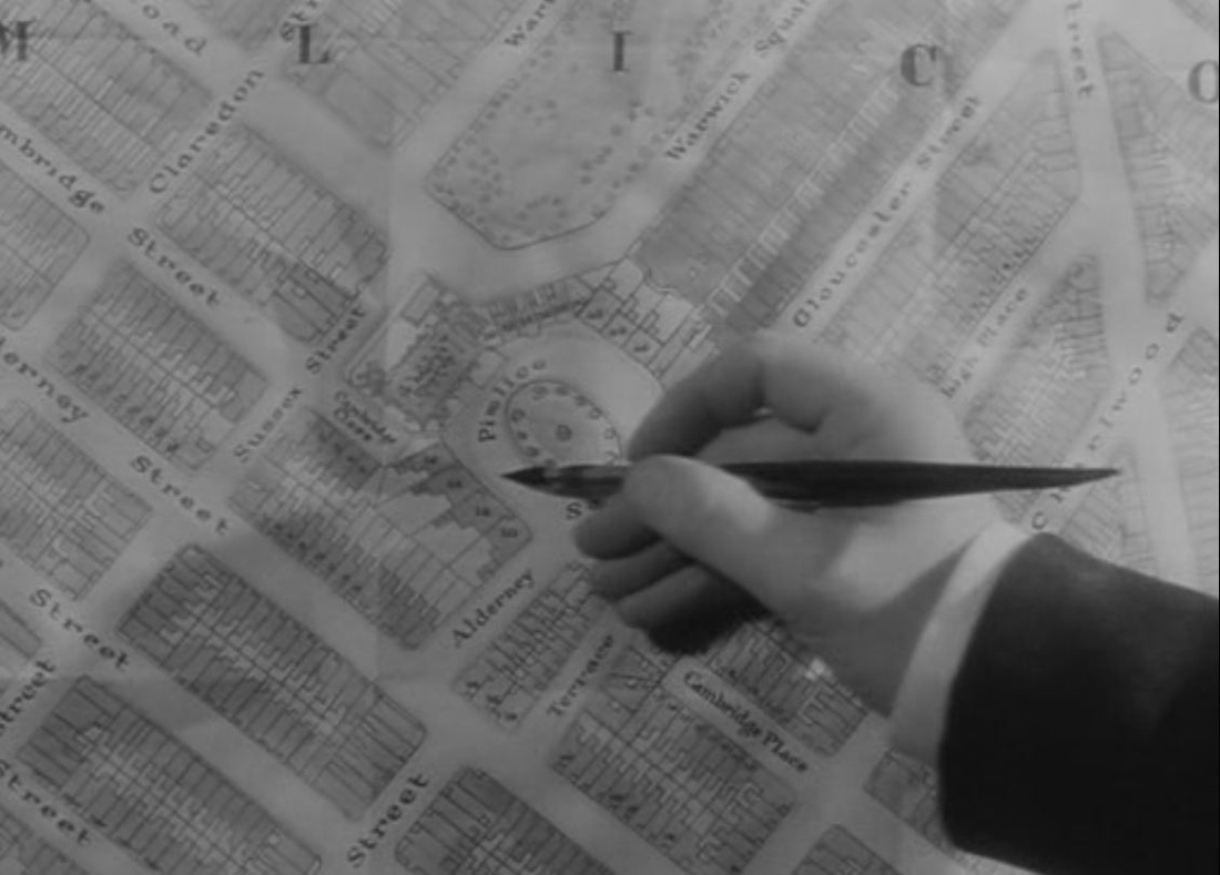 In situating 'Pimlico Square', Dickinson's film takes great trouble to redraw the map of Pimlico, placing the fictional square between real streets and squares. On the map below, from 1939, Pimlico Square would be just above the 'GE' of Cambridge Street. The second map below shows a church where the redrawn map has a church, though in reality it is called Saint Gabriel's, not Saint Mary's. 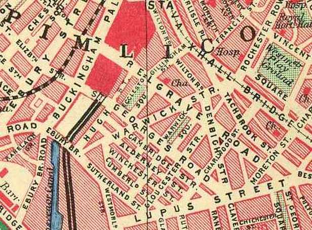 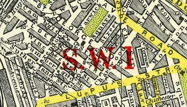 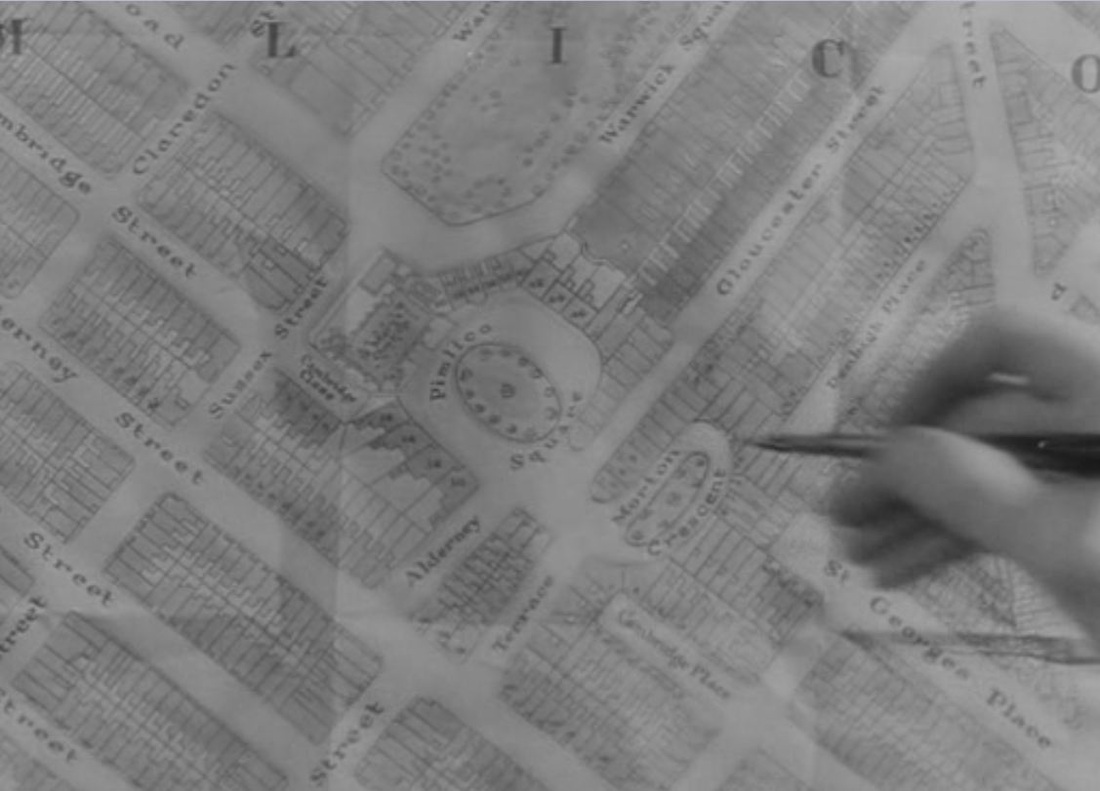  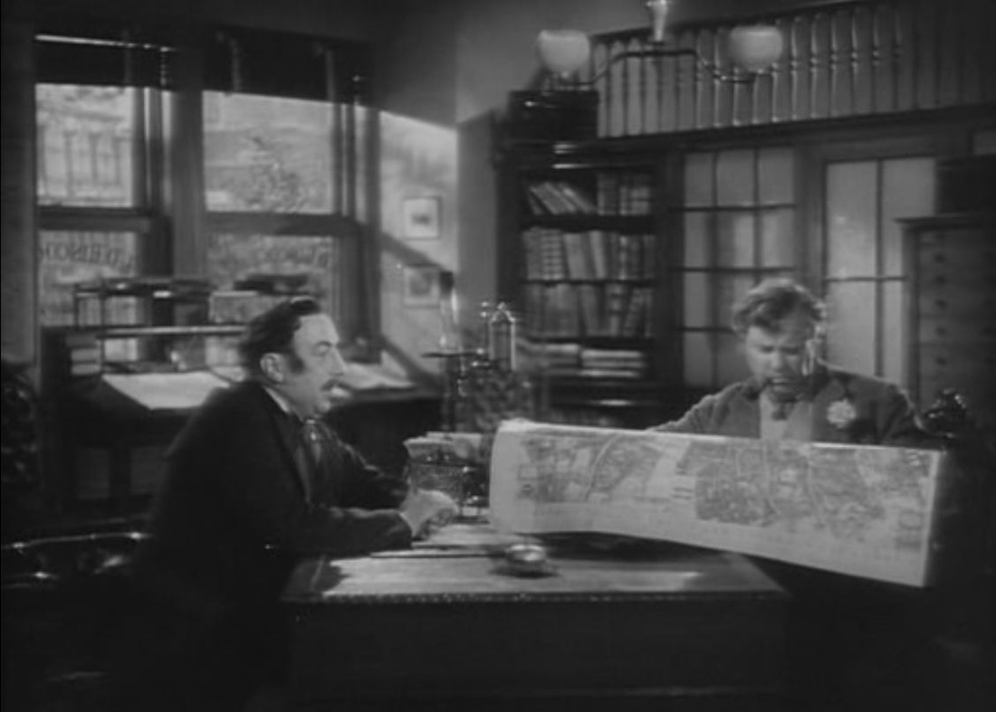 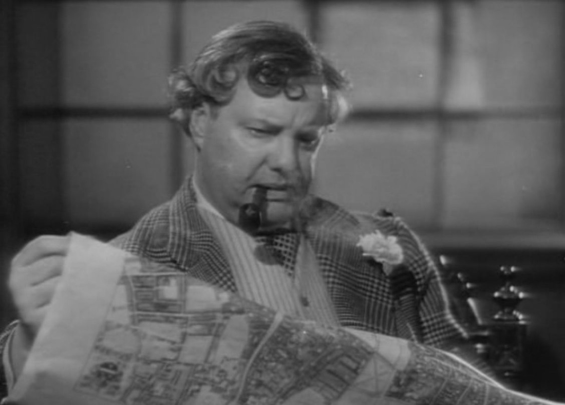 'Thornton Square' in Cukor's film is equally fictional, though this less localised production is not so concerned with situating the locale on a real map. The corresponding map scene has the investigator making his deductions with a hand-drawn map: 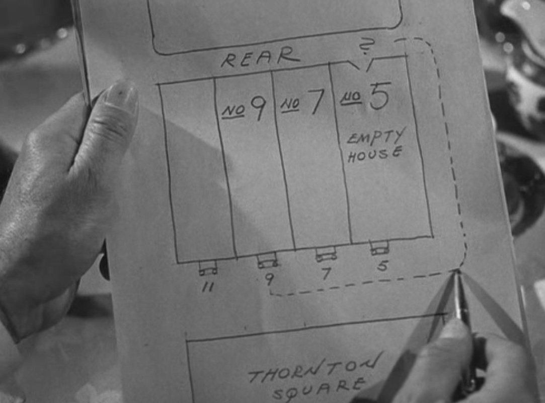 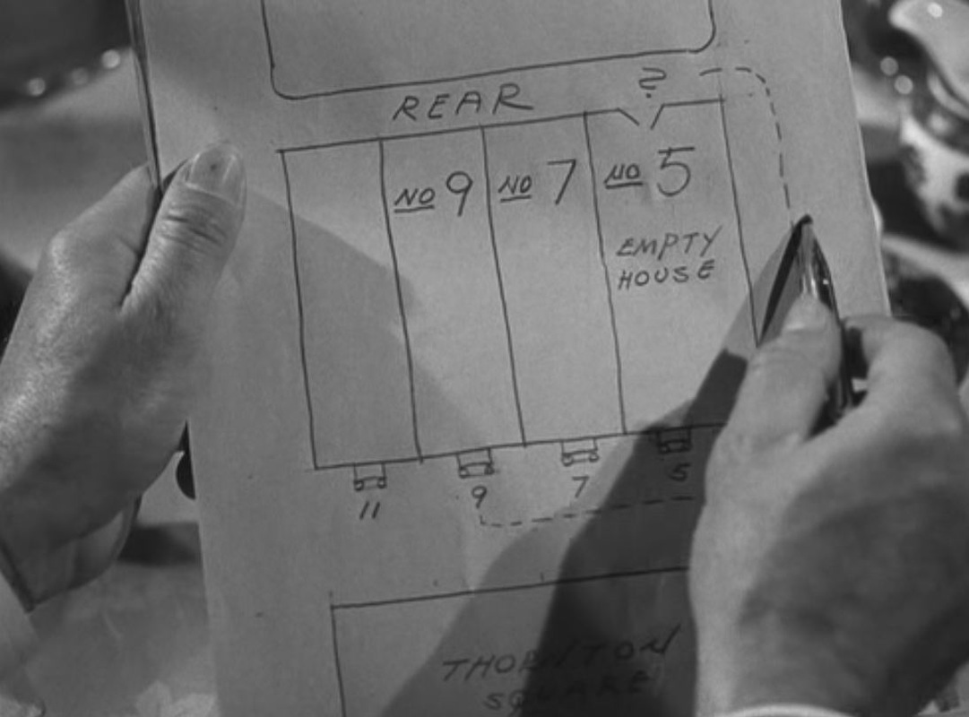 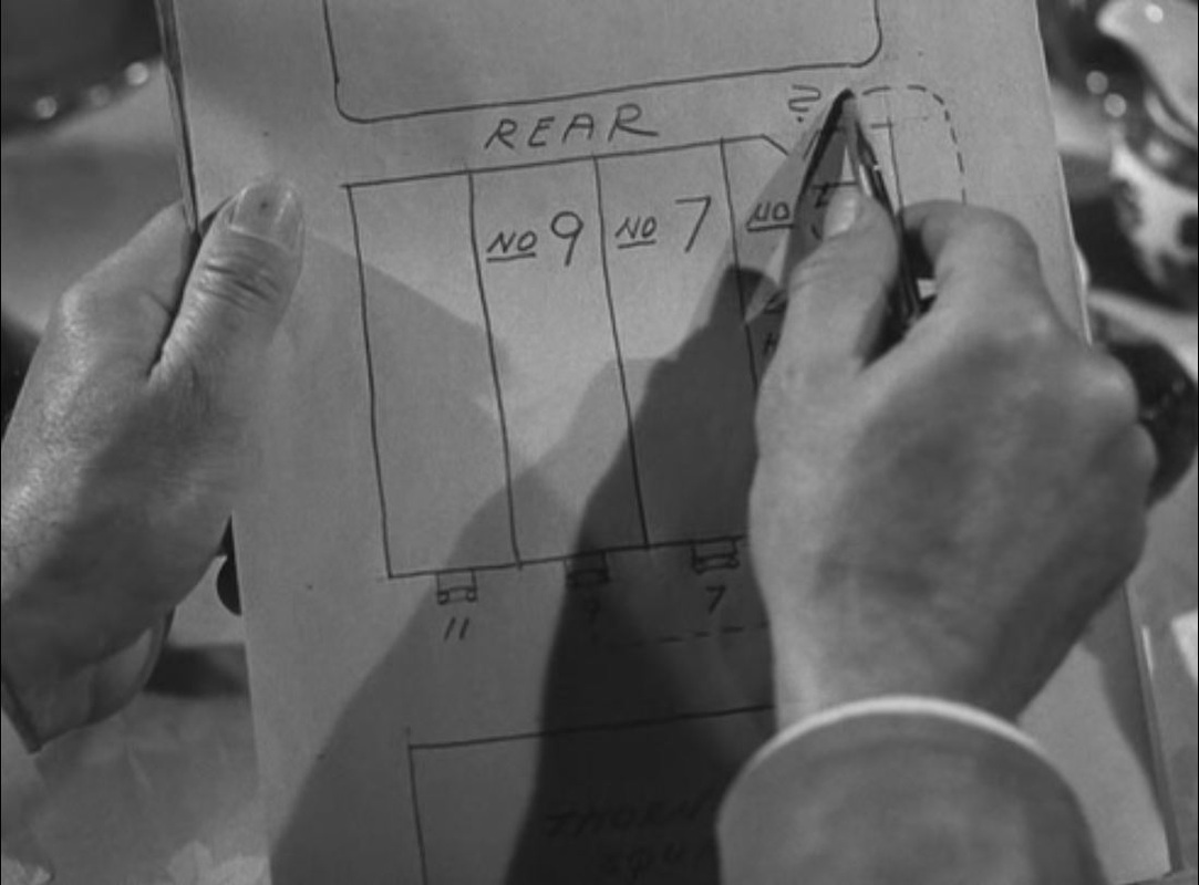 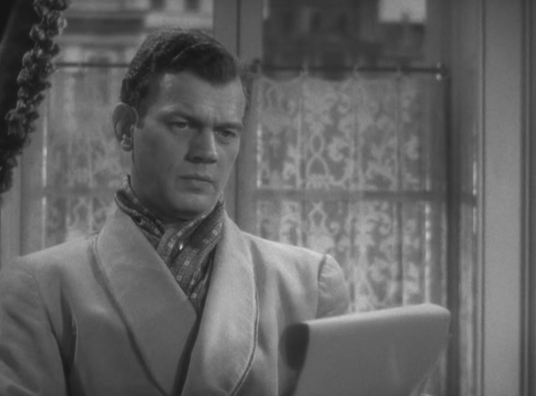 Both map scenes have in the background a map on the wall:  Gaslight (Thorold Dickinson 1940)  Gaslight (George Cukor 1944) 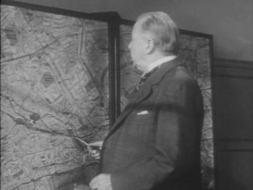 In this London-set, Hollywood-made film the detective has a good set of maps in display cases that he can consult to pinpoint the activities of the serial killer he is pursuing. We should expect the maps to be authentic, but to my shame I cannot tell whether the above map is of London, never mind telling what specific area it is supposed to represent. I couldn't get clues from what the Inspector is saying, since I watched it in a version dubbed into Spanish, a language foreign to me. (If anyone recognises this part of London, please let me know, here.) 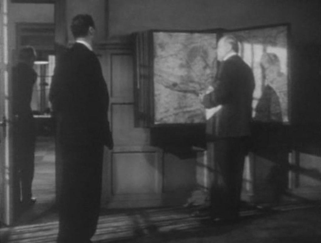 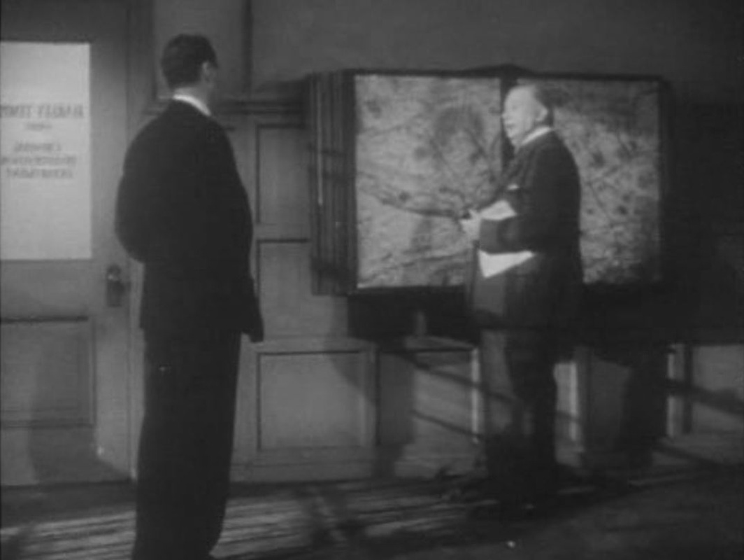 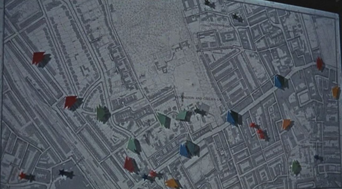 Though it belongs in the cosmopolitan class of 'Swinging London' films, Otley is also local cinema, centred on the protagonist's home near Portobello Market, with a key scene at Notting Hill Gate tube station and a car chase all over the general area. When he finds himself alone in the Superintendent's office at the local police station, Otley studies a map of the vicinity (the open space in the centre is Holland Park). He displaces one of the arrows pinned to the map, at which point the Superintendent arrives: - I see you’ve been diverting all Westbound traffic down Lexham Mews. - Yes, I knew a girl there once who used to … 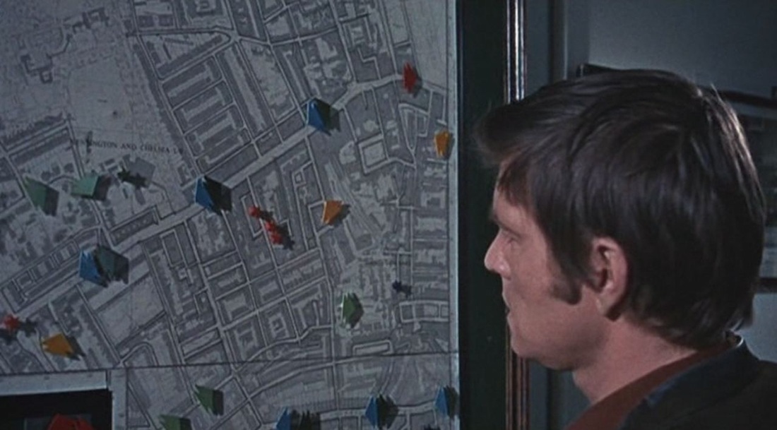 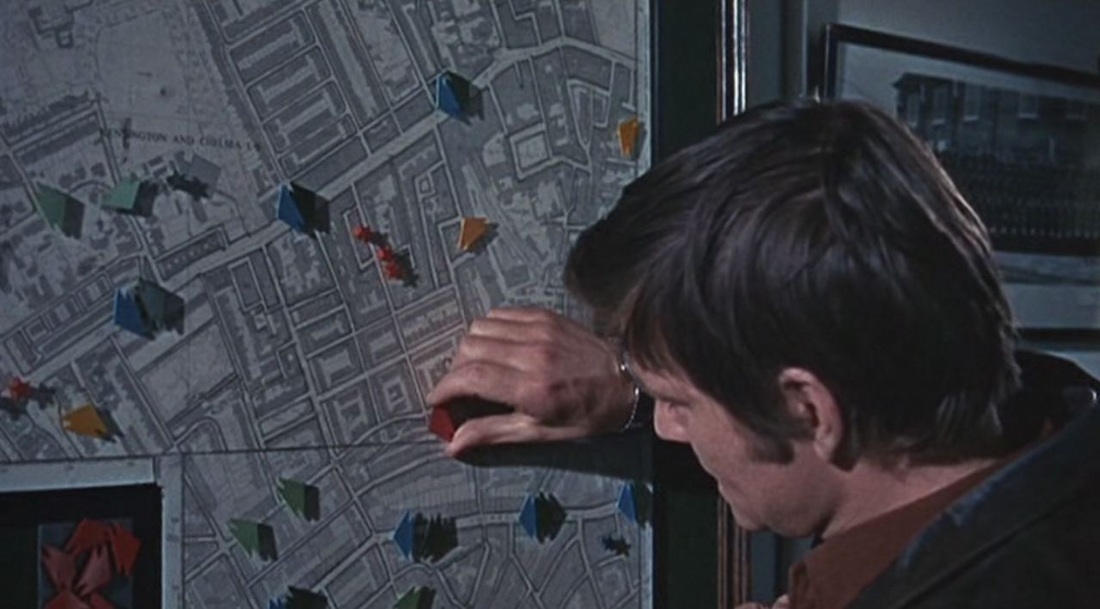 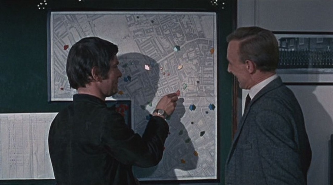 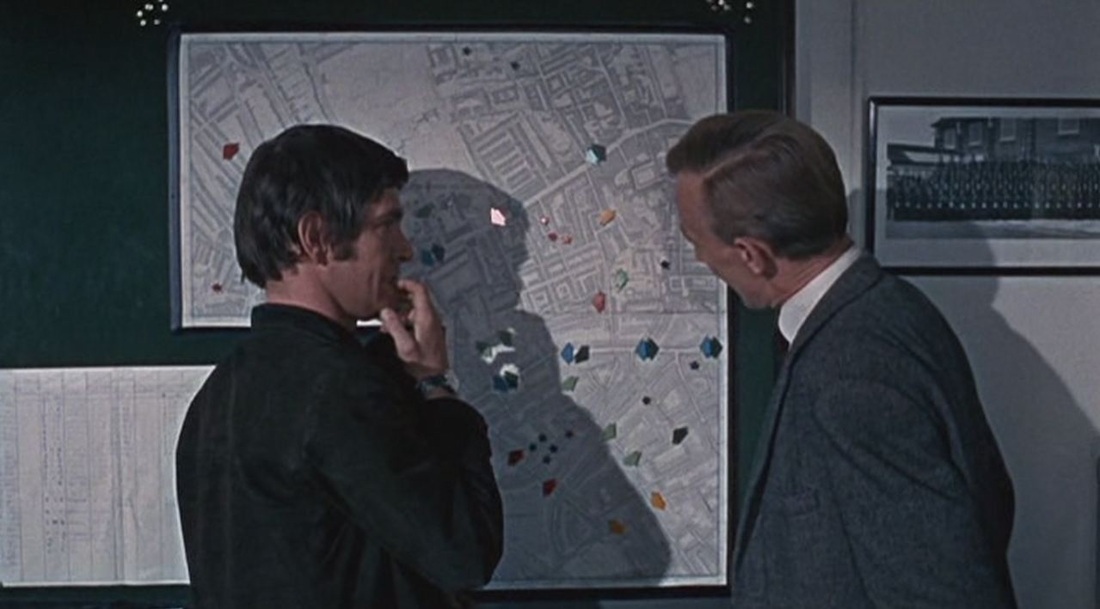 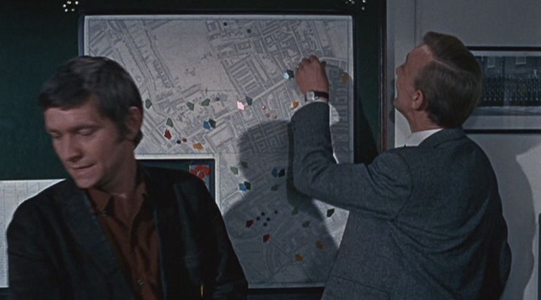  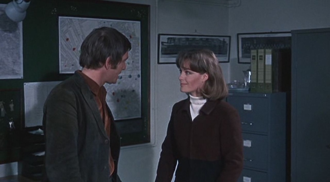 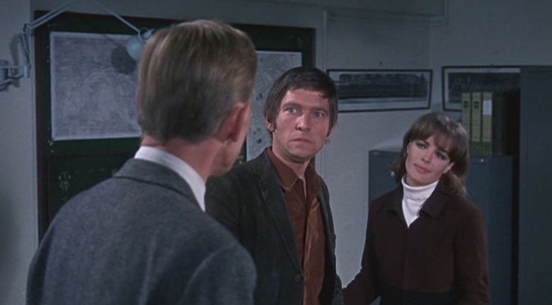  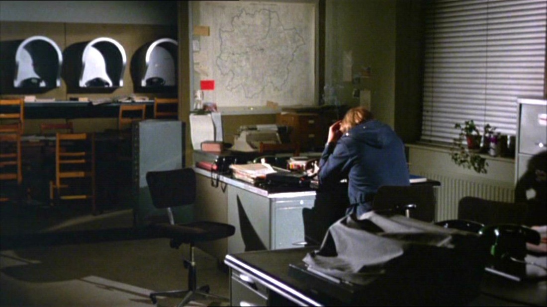 Some elements of the police-station set vary slightly from the first Sweeney film to its sequel, but the vast map of Greater London is a permanent feature. 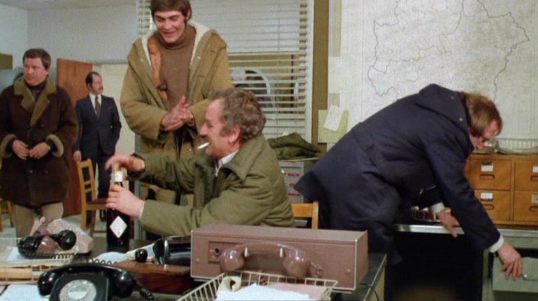 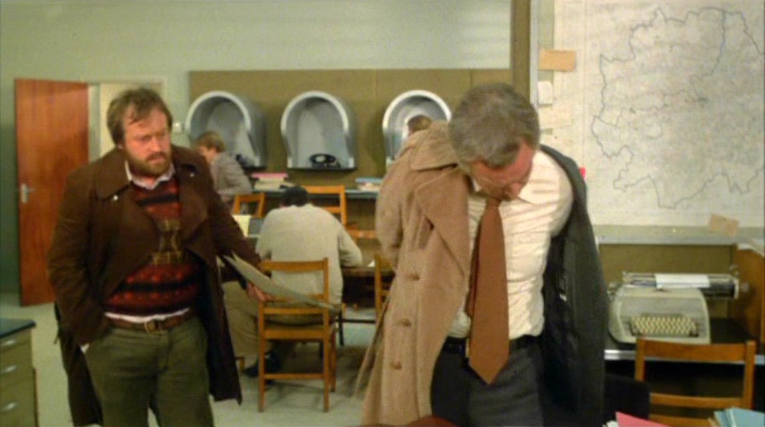  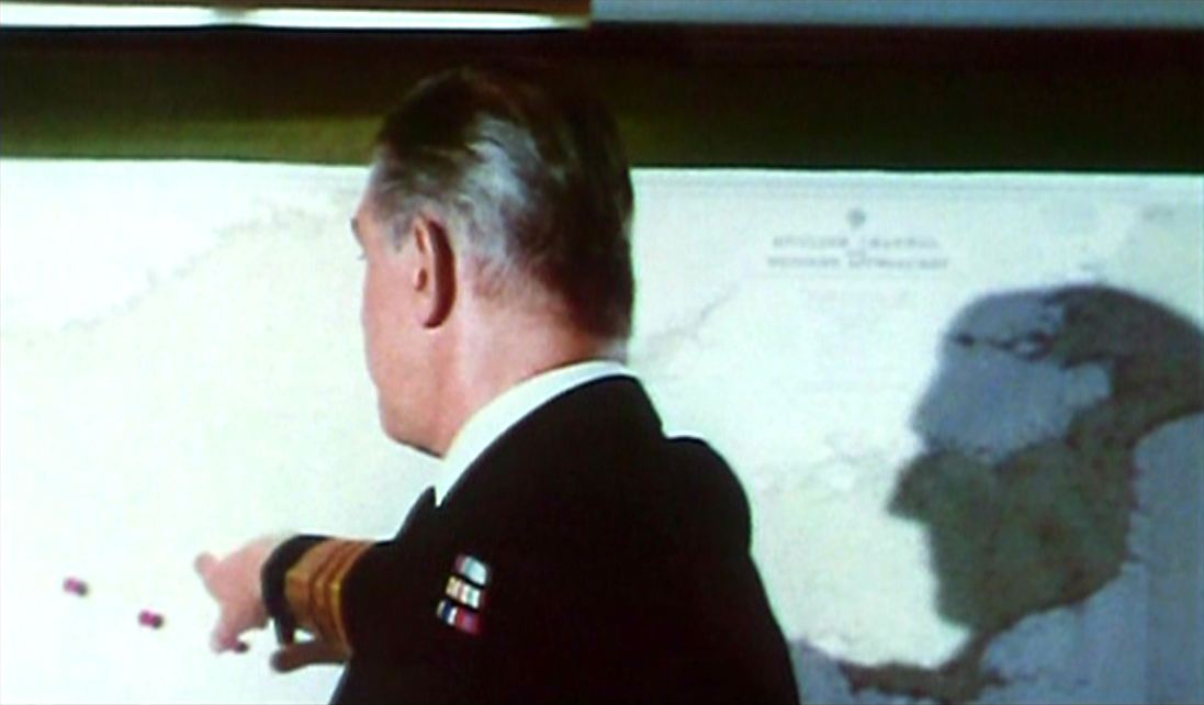 - Nara Island has been destroyed. Reconnaissance aircraft have sighted the creature in this area here. - Excuse me sir, but that looks as though the thing is heading for England. - Quite... 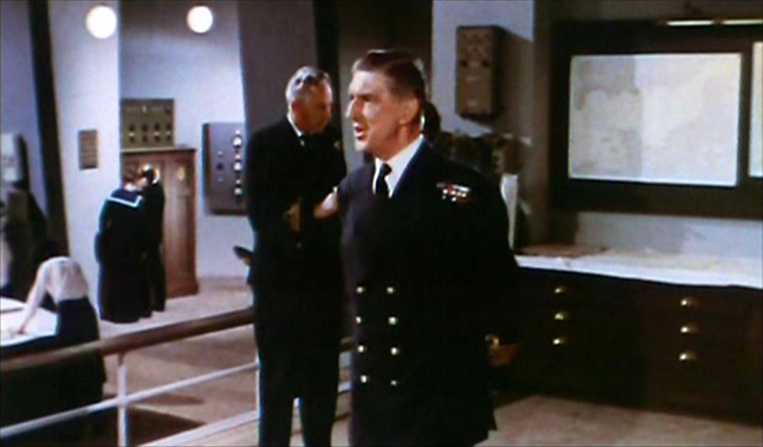    After she has destroyed Nara, a fictitious island off the Irish coast, Gorgo's mother is tracked in her quest to retrieve her captured baby. This first map room is dominated by maps of the British Isles. When she reaches London, we shift to a different map room with a more localised map: 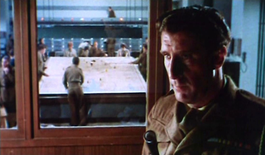   Here it is confessed by the officer in charge that their mapping of her movements is not particularly effective: 'Piccadilly Circus? There's no way of telling where this thing will turn next...'. 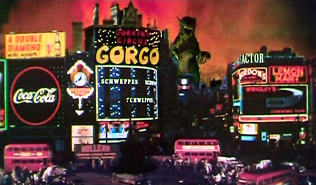 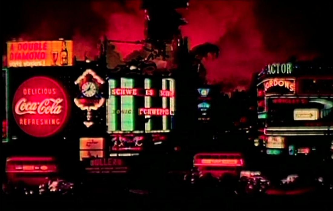 In effect such mapping is as difficult a task for the cine-tourist, since the monster is shown in successive parts of London (Trafalgar Square, London Wall, St Paul's, Piccadilly Circus, Battersea Park) with little respect for the topography of the city. This does of course communicate the general confusion of the terrified population as the city is indiscriminately destroyed:   A map of London is de rigueur decor for a scene at Scotland Yard, and can be seen distinctly in the superintendent’s office in Help! (1965). In this cartographic situation, the map of ‘Greater London’ remains a background detail until attention is drawn to it by an arrow, with paint-filled balloon attached, fired into the room through the window: the arrow lands on the map (somewhere near Richmond) and is followed immediately by a second arrow that bursts the balloon, covering most of West London with red paint. Rendering the map illegible derides the ciné-tourist’s cartographical obsessions: the most obsessive of all movie-location hunters for this period are Beatles fans, and the area obliterated includes key sites from A Hard Day’s Night, Help! and later Beatles-related projects such as Wonderwall and The Magic Christian. 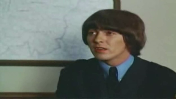 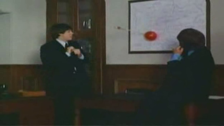 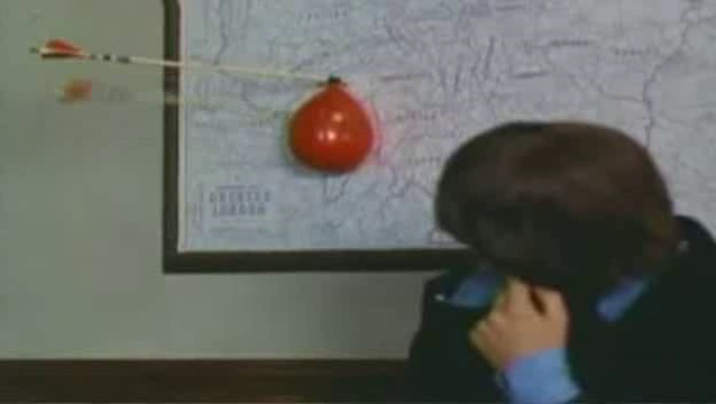 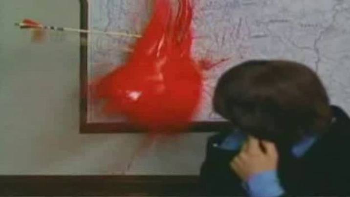 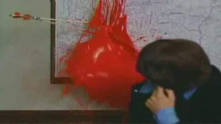 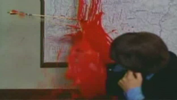 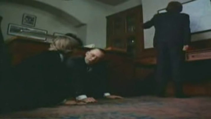 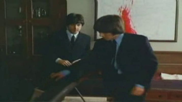 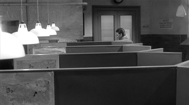 There are maps in only two places in this film. The first place is a Battersea Labour Exchange, where every one of the five cubicles we see has the same map of a section of London (the S.W. districts around Battersea). The maps are presented individually as Leamas (the protagonist) passes, then in a serried rank. 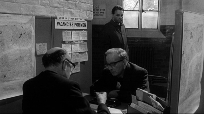 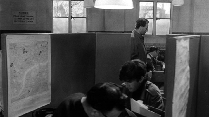 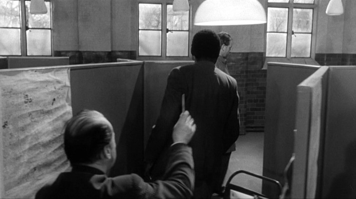 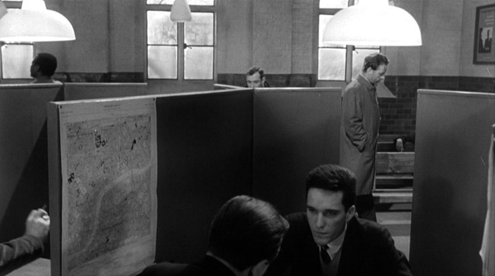  This is a uniform, regimented environment, but the cubicle to which Leamas is summoned has its map placed out of line (and the lamp above it is a little dimmer), hinting at the difference in the treatment he receives (he is sent to a job in a library as part of a convoluted plan hatched by the Secret Intelligence Service). The other place with maps is a room in East Germany where an in camera tribunal is being held: 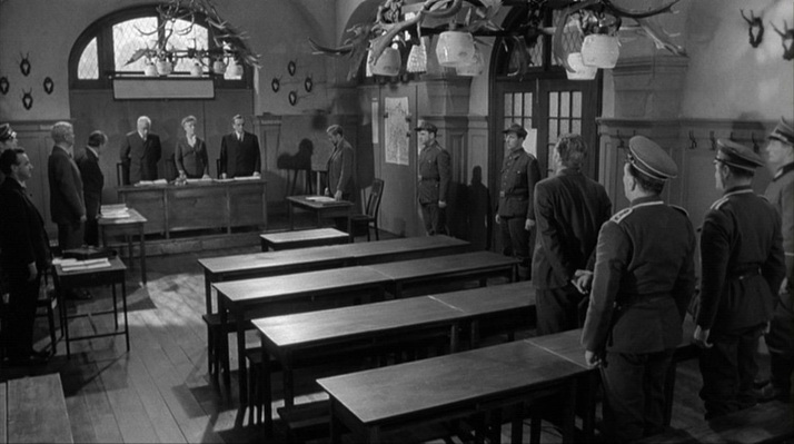 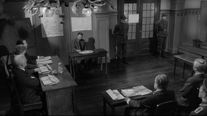 There are two maps in this room. One is of the DDR, and is very distinctive. It is drawn to demarcate specific but (to me) unfamiliar sectors of interest, and looks as if it should be in an operations room (pinned to it are photographs of motor cars, and it is inscribed 'Unternehmen 212', which I cannot gloss). It is also remarkable because it shows nothing of what is around East Germany, as if it were an island: 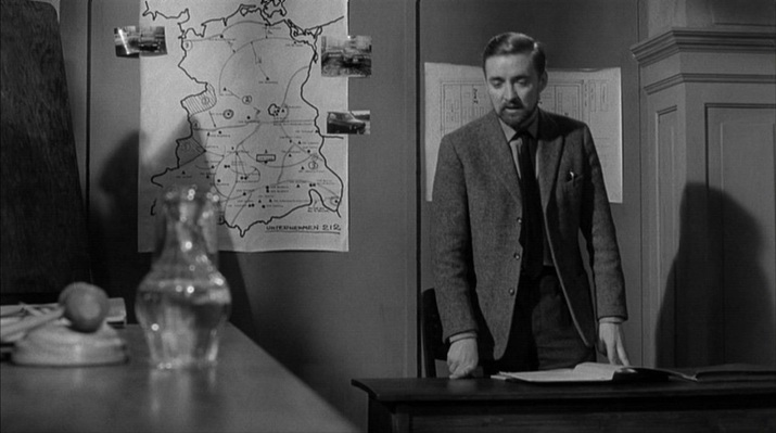 The second map is of a set of buildings, the camp to which Leamas has been brought. It is inscribed Mühlberg/Elbe, the location of the German prisoner of war camp Stalag IVB which - significantly for the film's thematic of shifting loyalties ('availability') - became a notorious Soviet internment camp immediately after WW2. 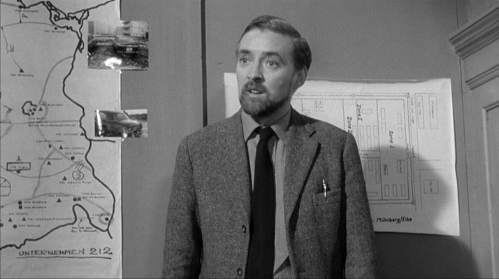 The mapping of the film's London locations poses certain problems. A sequence in which Leamas is trying to ensure he is not followed shows him in different parts of London: Fleet Street, South Kensington Station, Gloucester Road, and then his destination, the residential street we see here (as yet unidentified): 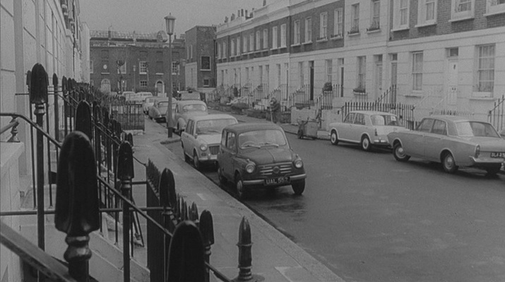 Leamas is here away from his usual territory around Battersea. His address is Falcon Road S.W.11, he meets a secret service contact in Battersea Park, and when he goes to the Labour Exchange, the official suggests a job at Battersea General Hospital, then sends him to an address nearby (Candahar Road). He points to the location on the map, but his fingers are the wrong side of the river entirely: 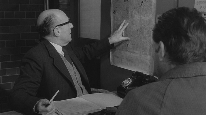 No one should be looking so closely as to to be troubled by this solecism. More troubling, anyway, would be the fact that the Labour Exchange itself is topographically compromised. It is supposed to be in Battersea; on the way there Leamas passes a tattered poster indicating as much: 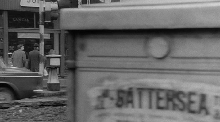 However, this exterior is not in S.W.11 but across the river in W.2. Here, from the Reel Streets site, is the evidence: 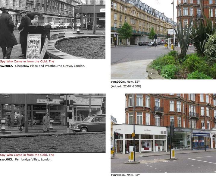 The film as a whole was always going to be topographically compromised, since the scenes set in the DDR would have to be filmed elsewhere (Ireland, in the event). So having one part of London pass for another is hardly serious.
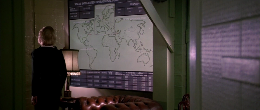
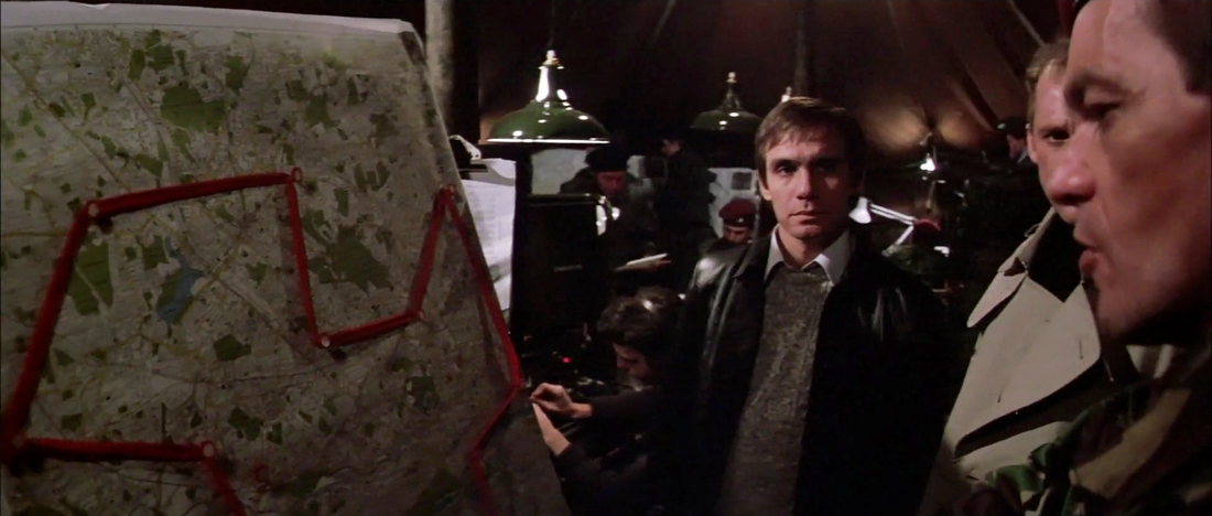
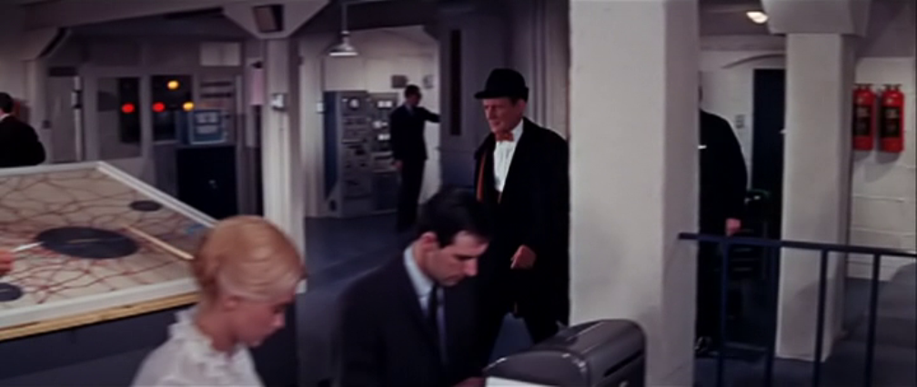
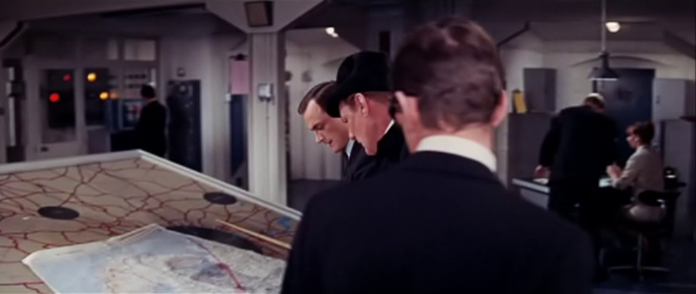
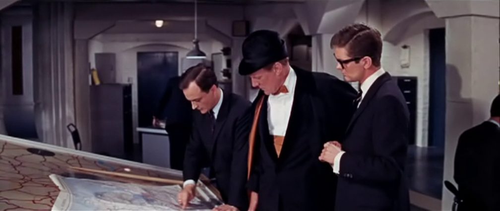
 John Rogers’ film presents the perambulating Nick Papadimitriou, ‘deep topographer’, as he surveys his domain (he is the unelected Chair of the non-existent Middlesex County Council, see here). Maps, along with signage and landmarks, are clearly part of the film’s own deep topography, but Rogers doesn’t rely on them to show how Nick Papadimitriou does his chorographic work. He shows us instead Nick walking, Nick stopping to gesticulate, Nick turning to look in another direction, Nick pointing, Nick walking on again…. All are means of situating us in a territory defined more by its moments of retrieved memory than by the functional lines that cross it. n.b.: Given his passion for the North Middlesex/South Hertfordshire Escarpment (see here and here), I’d say Nick Papadimitriou was less of a topographer than a chorographer, chorography being ‘the art of describing or mapping a particular region or district’. (You can watch The London Perambulator in full here.) 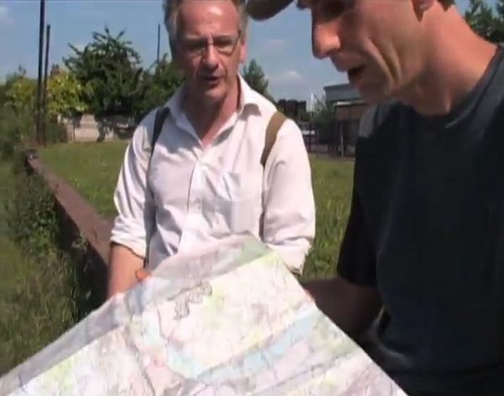 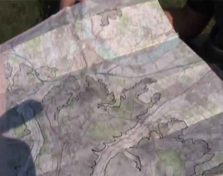 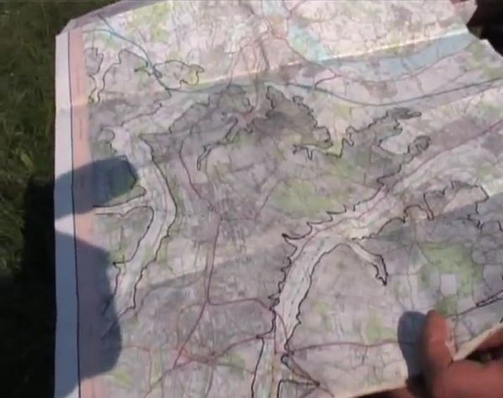 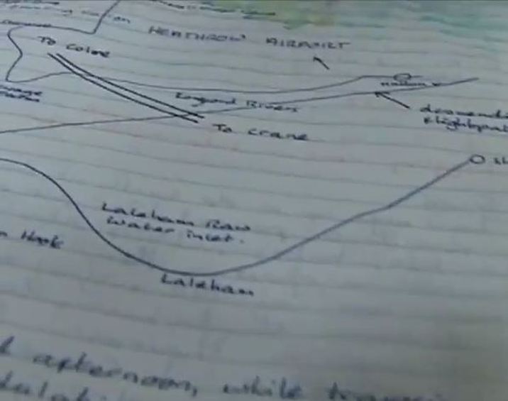     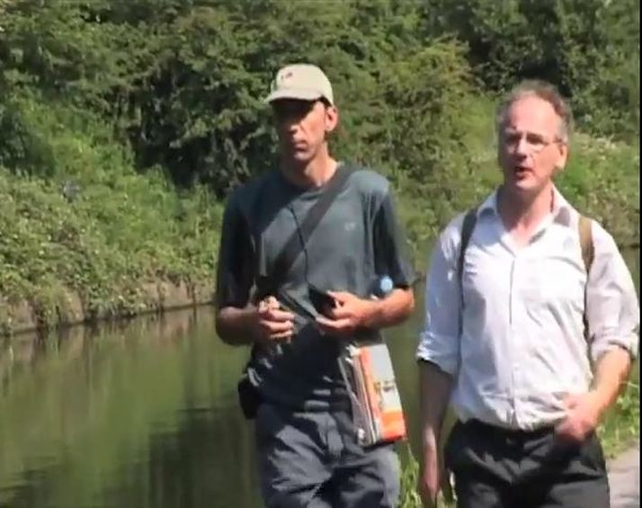    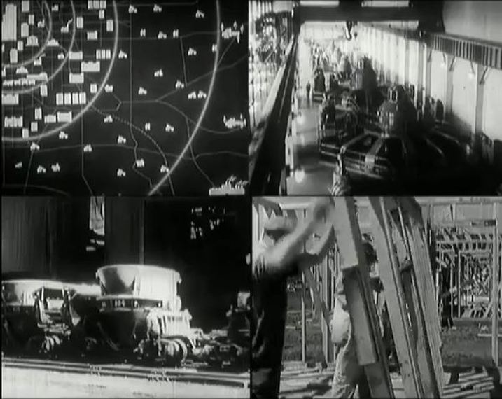 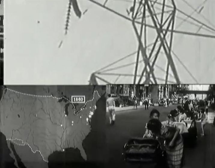 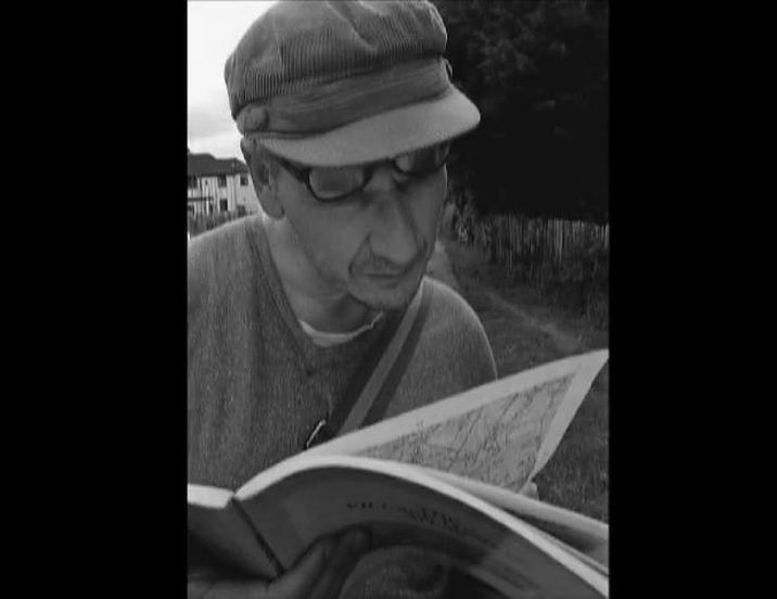  The third in the Harry Palmer series is still deriving material out of its difference from Bond. The map of London on the wall of Palmer's dingy office contrasts with the world maps on walls in early scenes of Bond films. Now a private detective, Palmer's sphere of activity is local, not global. 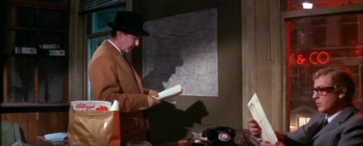 When Palmer does travel, he faces the un-Bondlike challenge of finding on a map an address in a phone book. 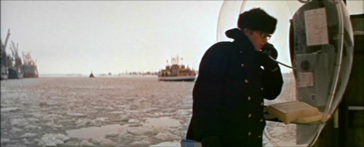 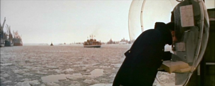 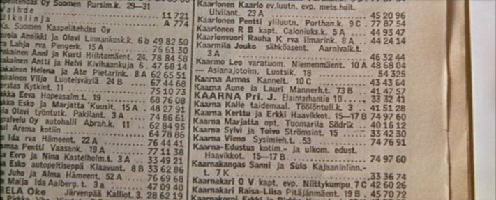 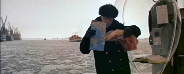 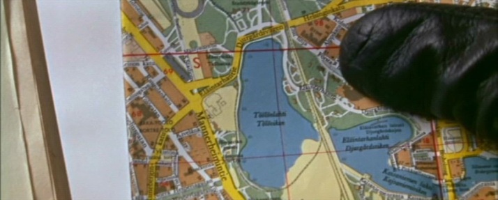 Ou maps pull back from this exactly pinpointed address in Helsinki to a more general view of the Baltic region, and even when - in Ed Begley's centre of operations - we have the familiar world map that signifies megalomania, the Baltic region is marked by a concentration of lights. 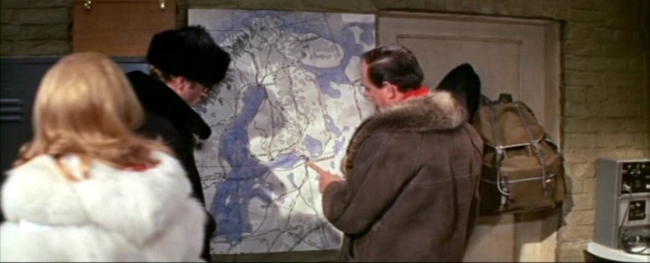 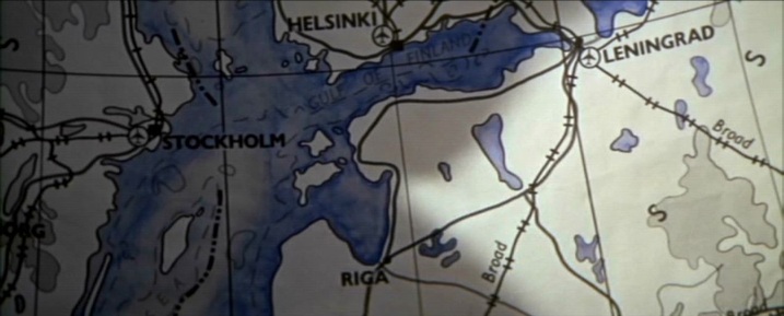 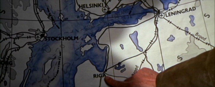 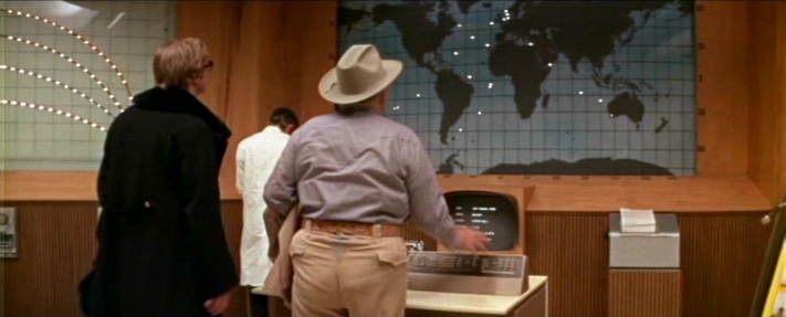 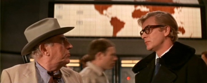 In a further contrast with the Bond corpus, Syd Cain's operations rooms in Billion Dollar Brain are deliberately modest affairs compared with, for instance, the spaces created by Ken Adam for that year's Bond film (even if that is clearly the same map on the wall, above and below - both scenes were shot at Pinewood) : 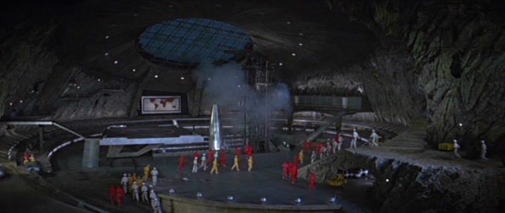 You Only Live Twice (Lewis Gilbert 1967) 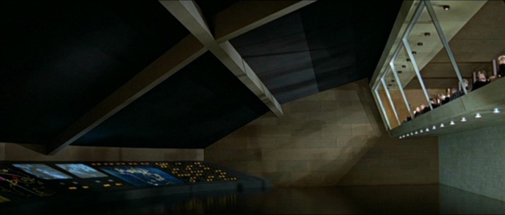 You Only Live Twice (Lewis Gilbert 1967) For its climax Billion Dollar Brain shows opposing forces plotting the final confrontation, each on their own maps: 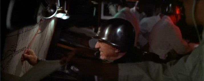 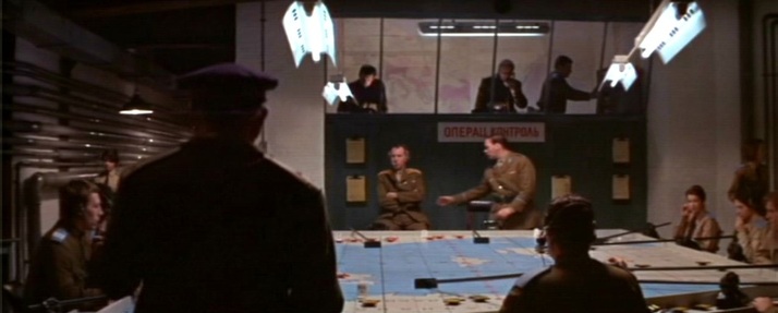 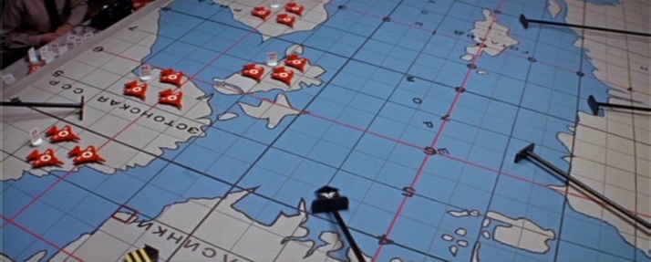 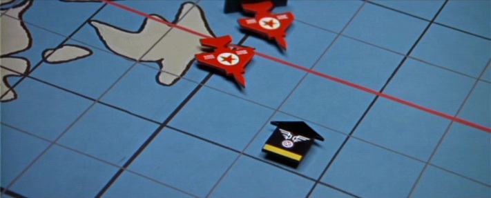 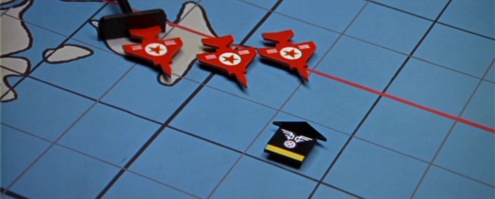  These last two map scenes both show humans attempting to arrange the world my arranging things on maps. This is the complement of the film's nature motif (as in the Alexander Nevsky-like climax on the ice). Human endeavour vs untamable nature is an opposition neatly foregrounded in this dissolve from the penultimate to the last sequence: 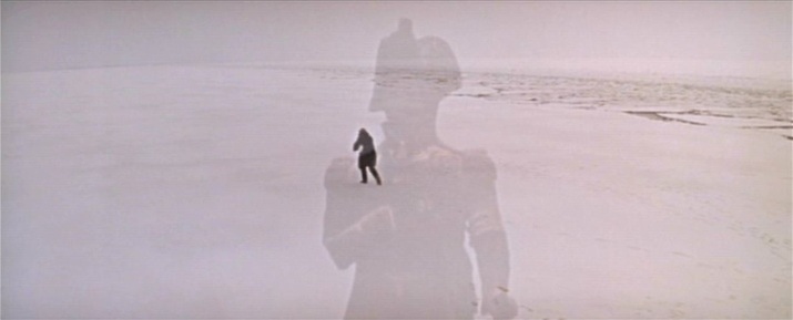 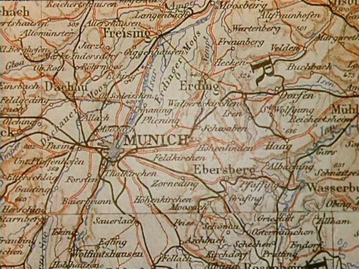 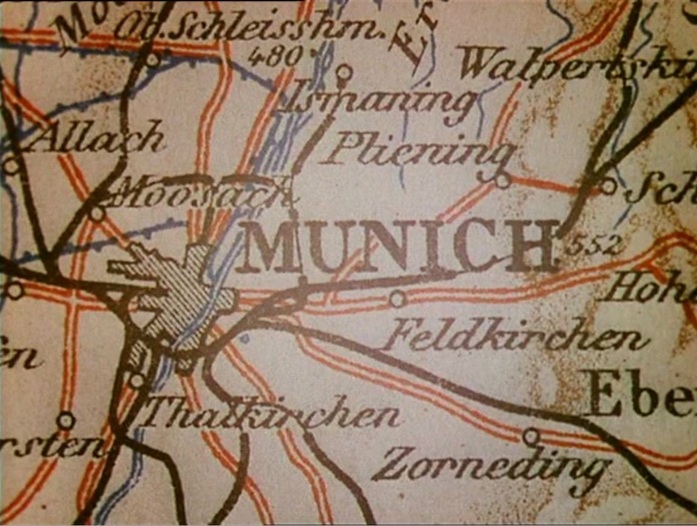 ‘The evasion of reality is marked by Clive's two- dimensionalisation, as his substantial form is replaced on the screen by an ephemera, a walking shadow, an apposite nod to Macbeth, perhaps, for consequent upon the loss of his love, Clive's hunting life is a sound and a fury, a rampaging safari, signifying nothing. A similar montage immediately after the death of Clive's wife Barbara reinforces the point. Its status as a denial of historical progress is made clear as this second speeded journey through the inter-war period culminates in 1938 with a map of Munich and strains of the German national anthem. Clive later hangs Barbara's portrait in the 'den' along with his other trophies, emphasising what is now clear. It replaces, rather than proves, virility, and undoes Clive's self-appointed status as masculine epic hero.’ Andrew Moor, Powell & Pressburger: a Cinema of Magic Spaces (London: I.B Tauris, 2005), p.75 A 'Map of Lower Egypt and the Fayum' is the background to a scene from the time of Clive's 'masculine epic heroism': 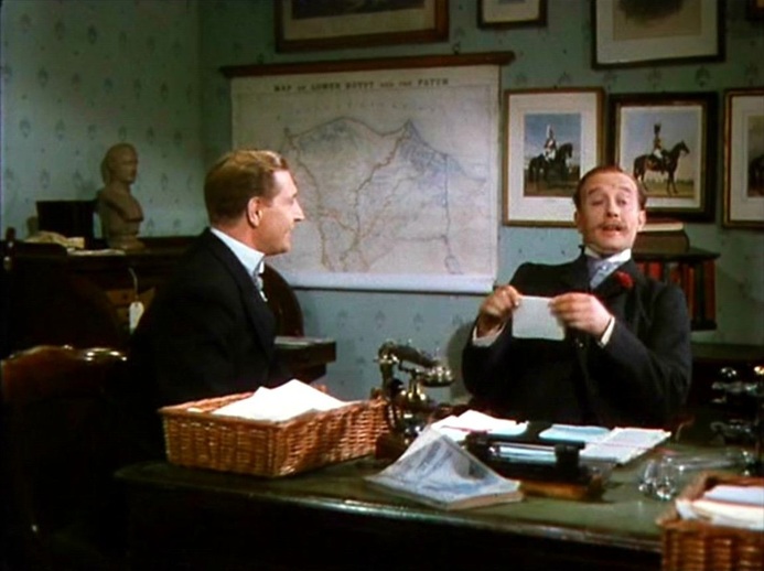 Maps of London are in the foreground of the events that will lead to his final emasculation:    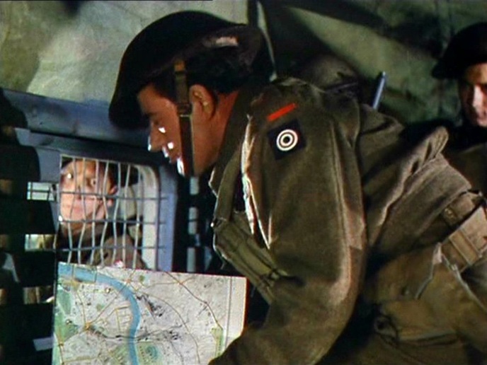 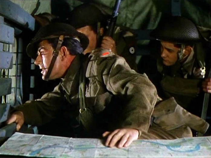 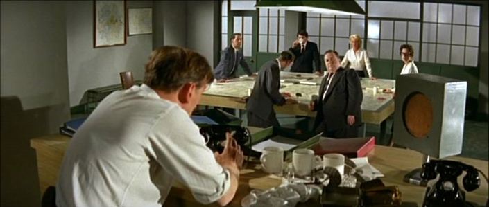 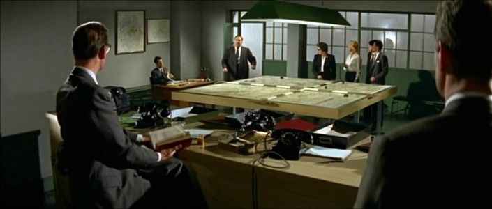 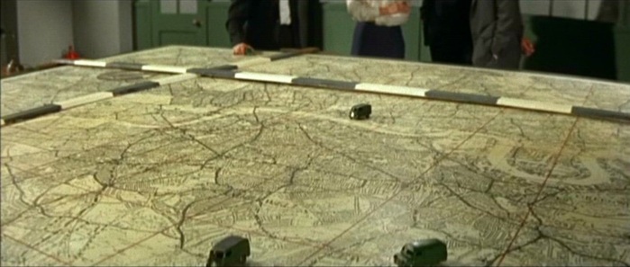 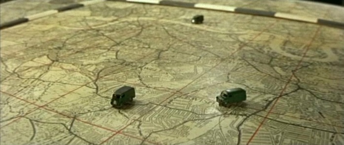 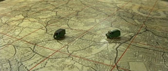 ‘Two primal scenes take place at the beginning of the decade, in films that do not yet swing but are already modern. Victim (1961) begins at a building site, the substantial development around Stag Place including Esso House (briefly to be glimpsed in the protest march sequence of Blow Up). The location is an explicit metaphor for the film’s idea of a new world to be built (one where sex between men is no longer illegal). The Young Ones (1961) also begins at a high-rise building site, though here modern architecture expresses not newness but the rapacity of the old (in the form of the hero’s property-developer father – ‘the old one’). In the narrative climax the young ones connect with London’s traditional aspect and architectural heritage by putting on their show at the splendid Empire Theatre, Finsbury Park (built 1910). By preserving on film this vestige of the past before its actual demolition by developers the next year, The Young Ones ends on a note of deep irony about an oncoming modernity.’ R-F Lack, 'London Circa Sixty Six: the Map of the Film', in Gail Cunningham and Stephen Barber (eds), London Eyes: Reflections in Text and Image (Oxford: Berghahn, 2008) Both films also have map scenes in police stations. 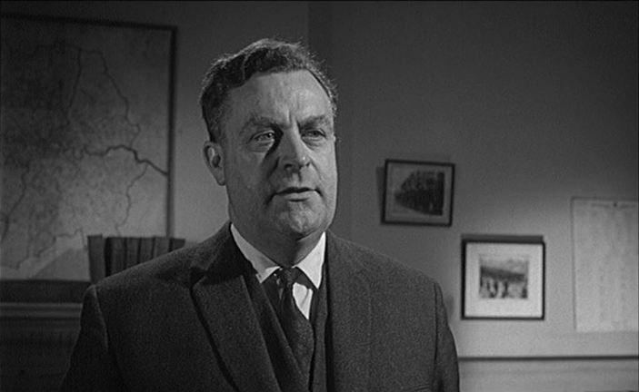 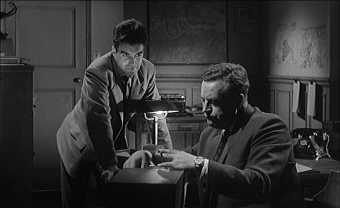 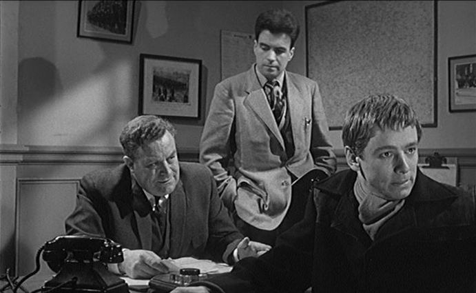 106/ Seven Days Till Noon (Roy Boulting 1950) & The Wrong Arm of the Law (Cliff Owen 1963)22/7/2011 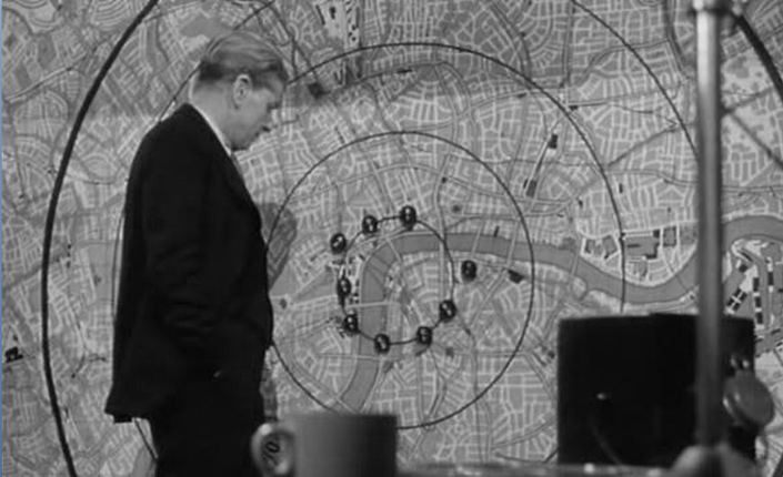 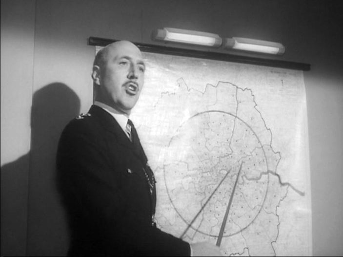 An occasional series posting two maps from different films, for comparison without commentary.
      Simon James, London Film Location Guide (London: Batsford 2007), p.228.    Tony Reeves, Movie London: Exploring the City Film-by-Film (London: Titan, 2008), pp. 88-89.  Mark Adams, Location London: London's Film Locations Uncovered (London: New Holland, 2003), p.81. |