the first maps in films, and their narrative contexts
The first version of this post was written in 2011. I have to preface it with an update today, April 18th 2020, having just noticed maps, or more exactly the same map, in photograms from two Lumière films made in 1897. This map of France is, I think, the first to be seen on screen:
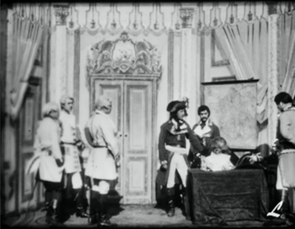
La Signature du traité de Campo-Formio (Georges Hatot for Lumière, 1897)
|
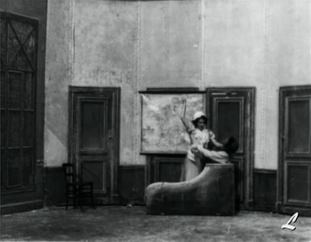
La Mort de Marat (Georges Hatot for Lumière, 1897)
|
The Campo-Formio film depicts the signing of a treaty exactly 100 years before between the French Republic, represented by Napoleon, and Austria, represented by Philipp von Cobenzl. A map in the room is a logical element of the décor, but it also has a symbolic function related to this key moment of French history. The map of France in Marat's bathroom is solely symbolic, as in the painting on which, I would suggest, the film is based, Paul Baudry's Charlotte Corday (1860).
|
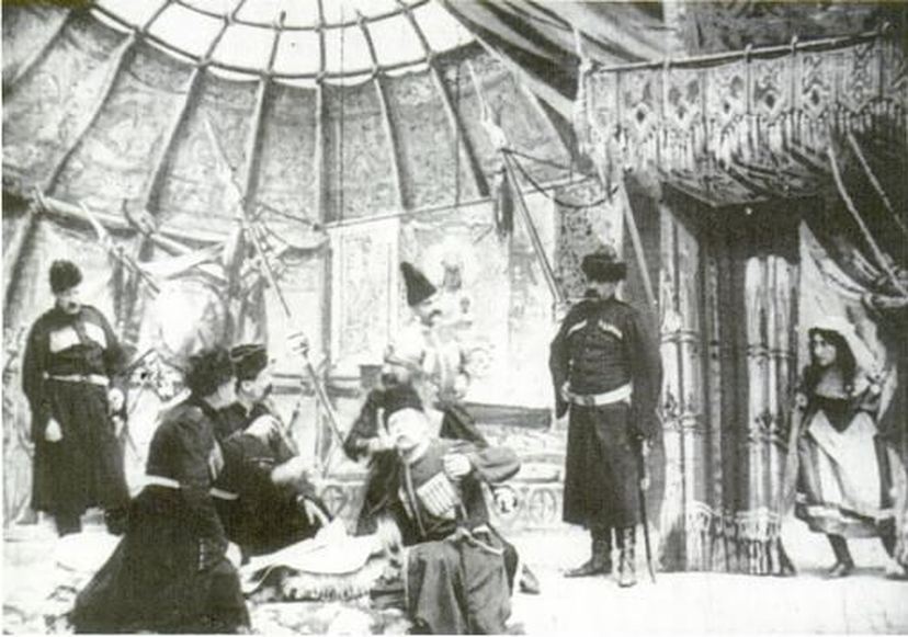
Almost the earliest map in a film I know of is in L'Espionne, a Pathé film from 1906. In the illustration Richard Abel provides (right) it is visible as an object, but I don't think it is shown as readable elsewhere in the film. According to Abel's description, the map plays an important part in the narrative: |
|
|
|
The film begins with a LS studio interior of the chieftain's tent where Vera overhears her father's plans and steals a map detailing the Cossacks' movements the following day. A simple form of reverse-angle matchcutting takes her up a gorge and onto a ridge where a Tartar lookout quickly seizes her. The Tartar camp to which he then takes Vera is at the bottom of another gorge, so that the latter camp is distinguished by location shooting rather than studio decors. Despite its use of locations, the film is quite concerned with spatial composition and lighting — most especially in the single battle shot-scene where a natural arching rock gateway throws the Tartars into silhouette, waiting in ambush in the foreground, as the Cossack chieftain's horsemen ride up from the background on the sunlit trail. In three subsequent shots, Vera is captured with the map, condemned in the chieftain's tent (despite her mother's attempt to intercede), and taken to an open field to be stabbed to death by a half-dozen men.
(Richard Abel, The Ciné Goes To Town pp. 148-49) |
Though I don't doubt that there are many more maps to be found in earlier films (and would very much like to learn of any examples: email here, please [here's one from 1905 that I found in December 2012]), for the time being we can take pleasure in finding in L'Espionne a starting point for two important narrative contexts in which maps will figure in films to come: stories of espionage and stories of military conflict. In the latter context, especially, films related to the the 1914-1918 war will make of the map an object of display:
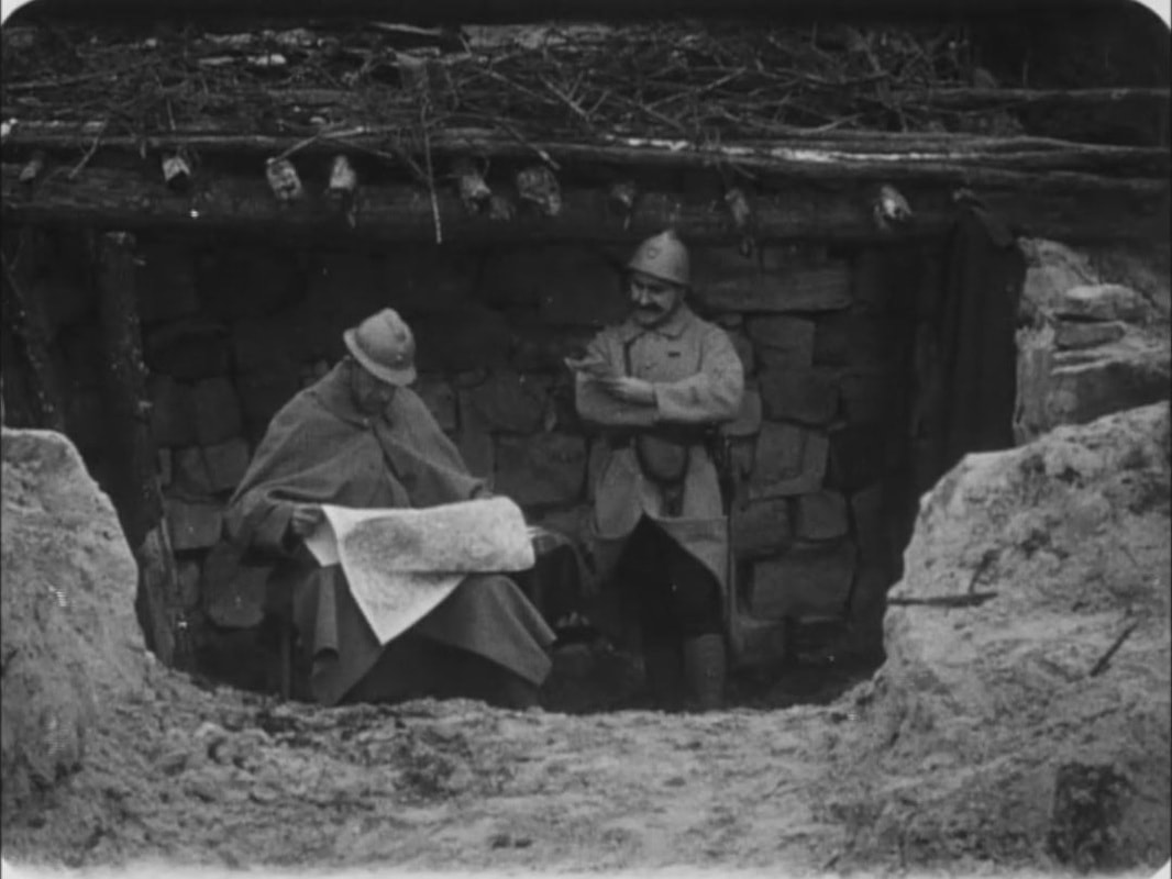
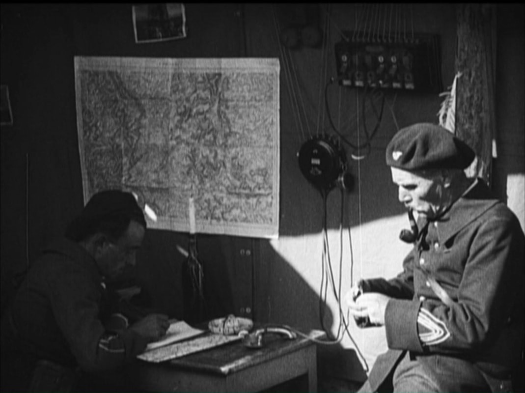
And of spectatorial engagement:

|
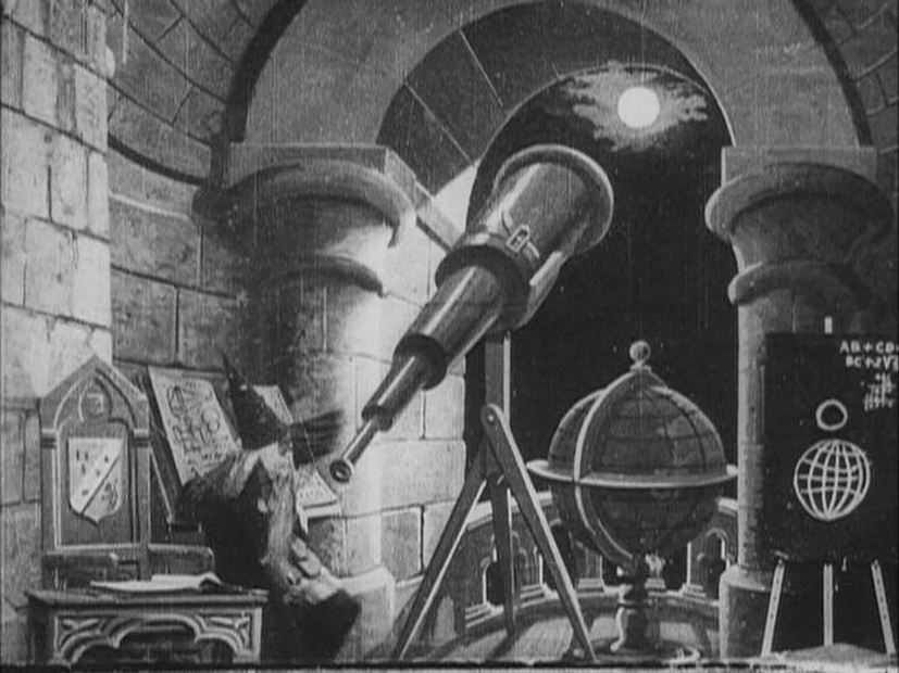
One film earlier than L'Espionne that definitely has a map in it is Méliès's 1898 La Lune à un mètre (also discussed here, in a guest blog for the British Library's celebration of twentieth-century maps in 2017).
France on the globe here is disproportionately large, such that the equator cuts through Northern Spain. This is a type of cartographic manipulation I have yet to find repeated in any other film. |
|
|
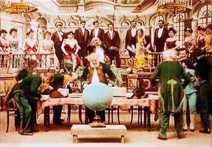
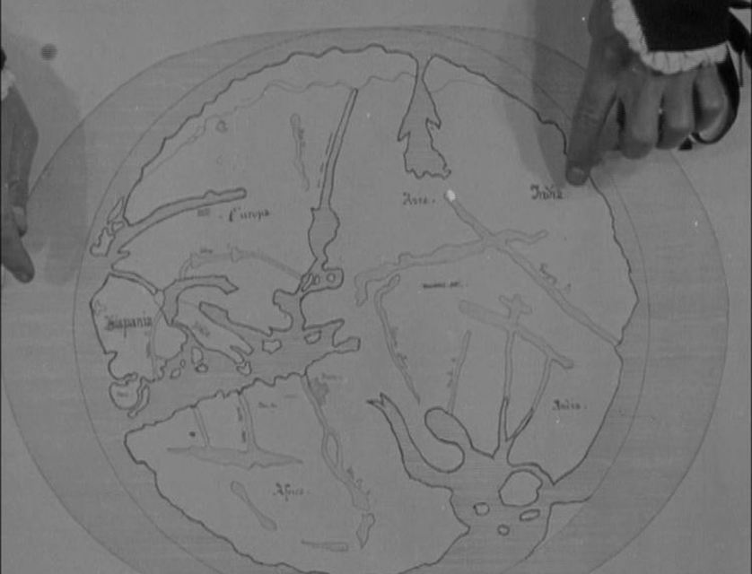
More conventional is the map in Méliès's 1904 Le Voyage à travers l'impossible, though I am only guessing that the round object discussed and pointed to in the first tableau is a globe representing the world.
I'm also assuming that the document on the table behind the globe (more easily seen after the globe is removed by a servant) is a map of some sort. This tableau initiates another important narrative context for maps in films: exploration. |
|
Explorers use maps in other films by Méliès, for example in A la conquête du pole (1912), where globe and map appear in different tableaux:
Fantastic voyages into uncharted territory do not necessarily display maps. In Le Voyage dans la lune (1902), for example, a basic diagram connecting earth and moon is sufficient. On the other hand, real, historical journeys are more likely to be figured for us through maps, as in this early example from 1910:
Christophe Colomb (Gaumont 1910)
This is the earliest occasion I know where a map is discussed, pointed at and made available to be read by the spectator. Richard Abel signals the unusualness of the shot: ‘The first scene, in which Columbus explains his plan to the Genoa officials, is filmed in full shot, but includes a cut-in to an unusual high angle close up of a map (approximating a POV shot), with his hands coming in from the top of the frame to point and gesture’ (The Ciné Goes To Town, p.273). (See here for more maps from this film.)
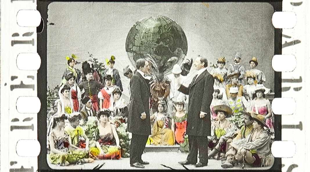
Global travel was the theme of a 1906 Pathé film, Lepine's Le Tour du monde d'un policier. In Change Mummified, Philip Rosen puts great emphasis on the apotheosis that follows the narrative ending, where hero and villain shake hands in an allegorical climax, in front of a globe:
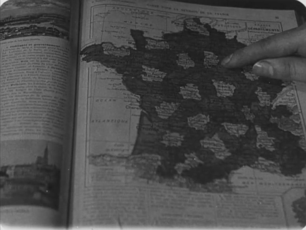
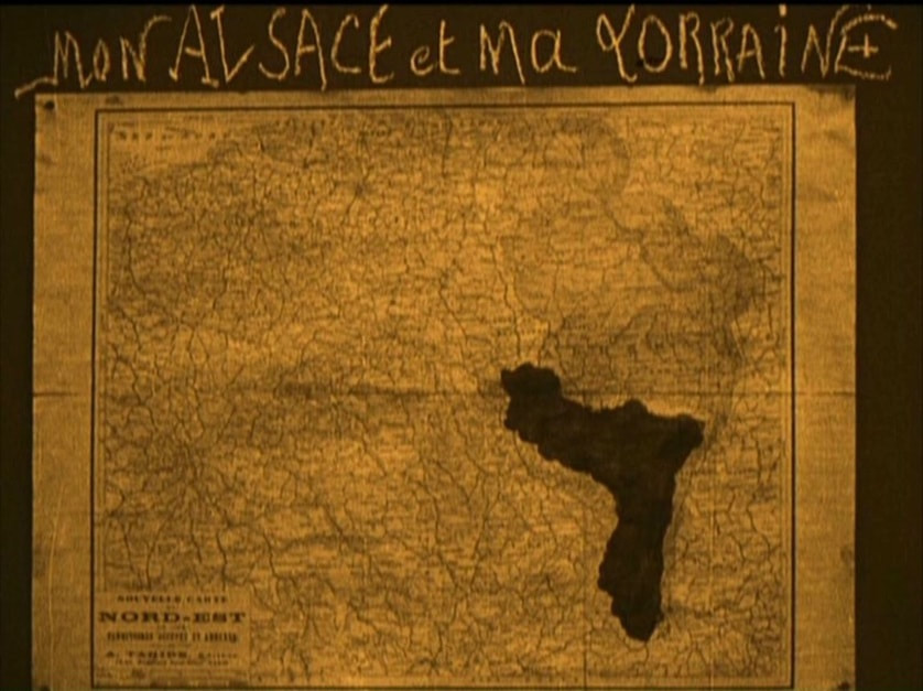
Films telling stories of espionage, war and exploration are all likely to feature maps, and often will foreground them as signifiers. Maps may feature in less sensational contexts, not as narrative device or symbolic figure, but simply as naturalistic elements in a decor.
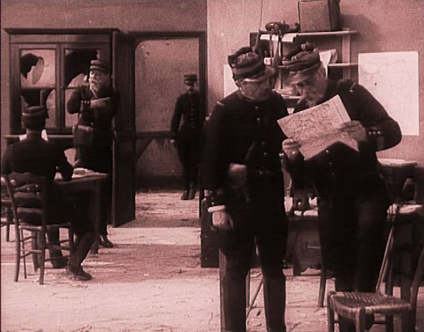
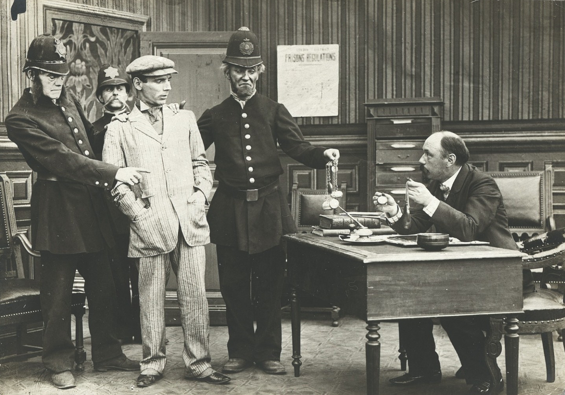
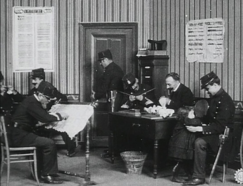
A police station in a film will include a local map as part of the establishing decor, though it is a curious anomaly that I have found very few early films in which such settings feature maps. I have not been able to test whether this corresponded to a reality (I doubt it did), but am surprised not to find a map when, for instance, Pathé's Slippery Jim is taken into custody in 1910 (below left). Nor is there a map in the Gaumont police station from 1909 (below right) - the bearded policeman in the left foreground is not consulting a map, he is busy with his needlework:
|
La Grève des apaches
|
The one map in a police station I have found in this period is from a 1910 Gaumont film set in the year 2000:
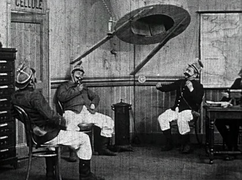
La Police en l'an 2000 (Gaumont 1910)
In later manifestations of this setting the map will become an object of scrutiny, inherent to the investigation of crime or the pursuit of suspects. As with espionage, war and exploration, the map in the police procedural film is a generically determined motif. (See here and here for more maps in police stations.)
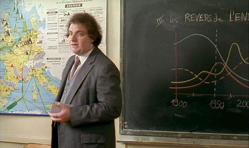
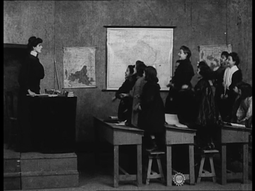
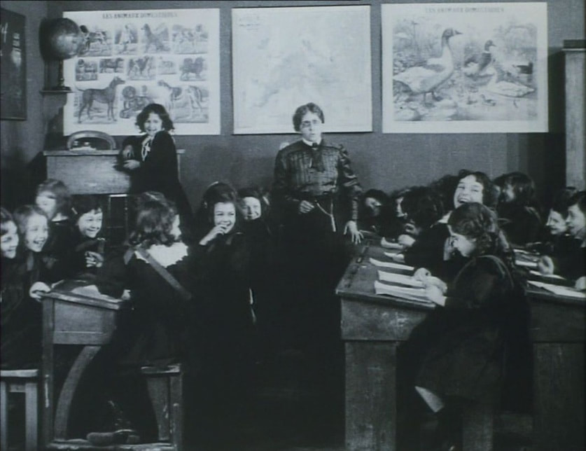
Perhaps the most common setting in which a map will be found as establishing decor is the schoolroom. Such a map may be a significant motif if it relates to a theme (e.g. below left), but it is not like to be closely scrutinised unless we are being made a party to a lesson in which it features (e.g. below right):
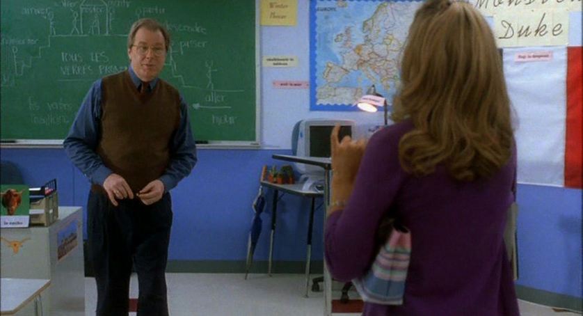
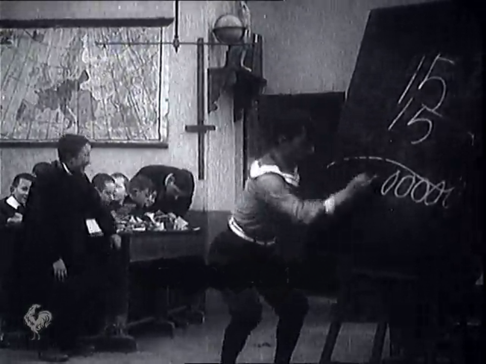
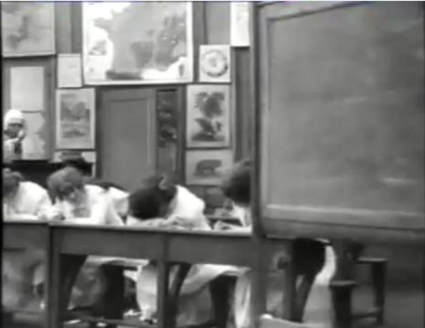
In most cases, including the earliest examples I have found, the schoolroom map is more a marker of the place in which it is found than of the place it represents:
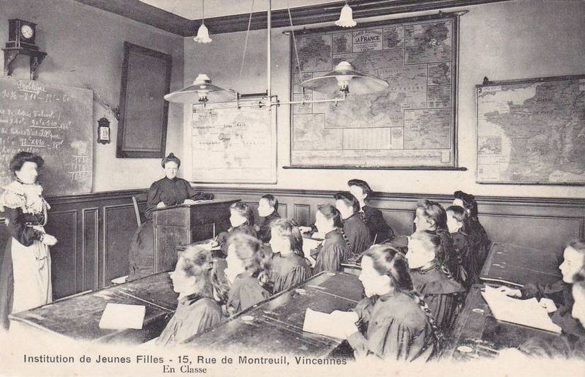
The exactness of these cinematic constructions can be gauged by comparison with this photograph of a real schoolroom, from the same period:
References
Richard Abel, The Ciné Goes To Town: French Cinema 1896-1914 (Berkeley: University of California Press, 1994)
Philip Rosen, Change Mummified: Cinema, Historicity, Theory (Minneapolis: University of Minnesota Press, 2001)
Richard Abel, The Ciné Goes To Town: French Cinema 1896-1914 (Berkeley: University of California Press, 1994)
Philip Rosen, Change Mummified: Cinema, Historicity, Theory (Minneapolis: University of Minnesota Press, 2001)