 Wherever it was that I found this image there was I think no title, just a date and filmmaker credit. I'm pretty sure it must be the film described here (see Antti Alanen's Film Diary website):
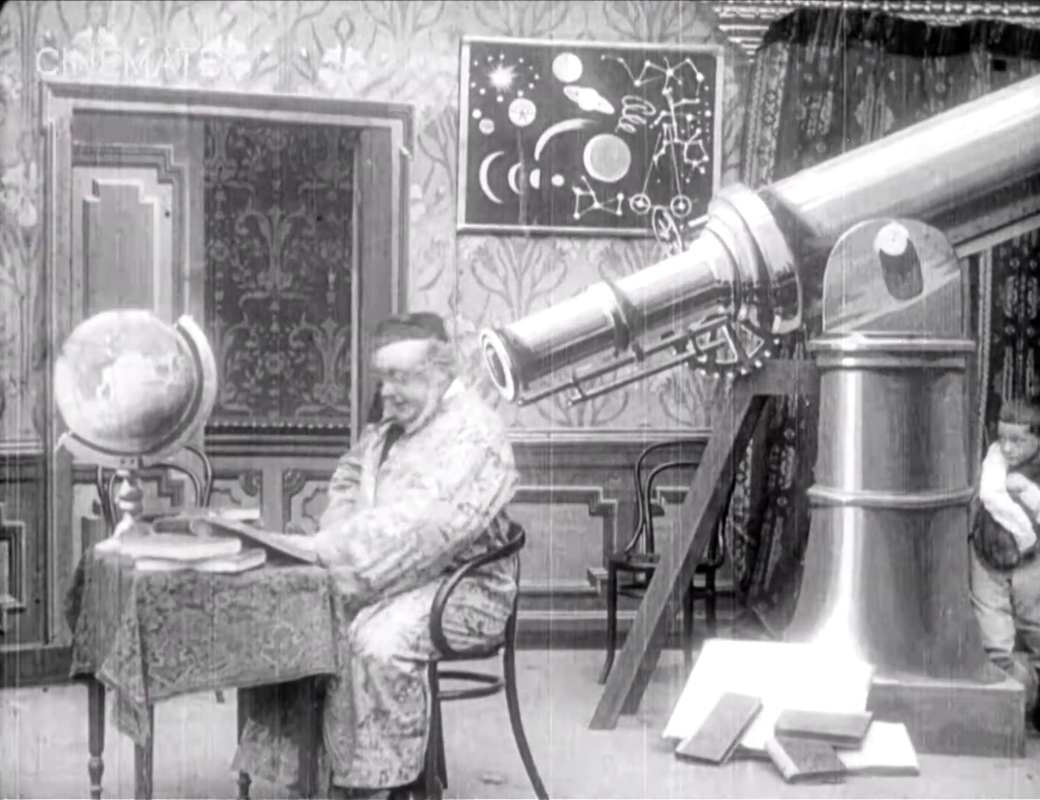
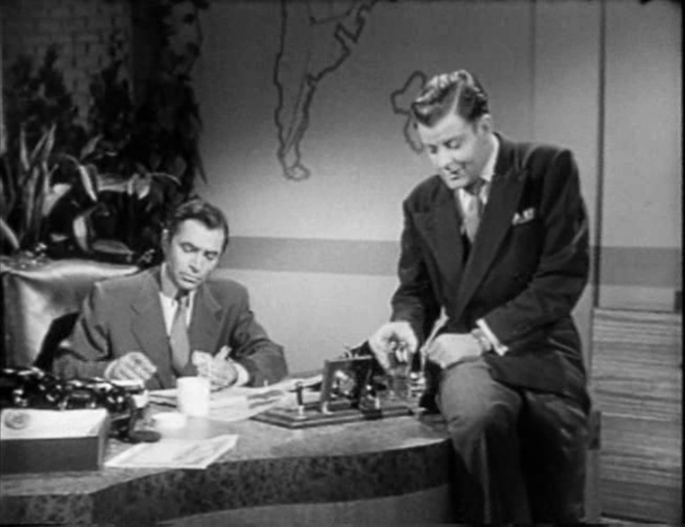
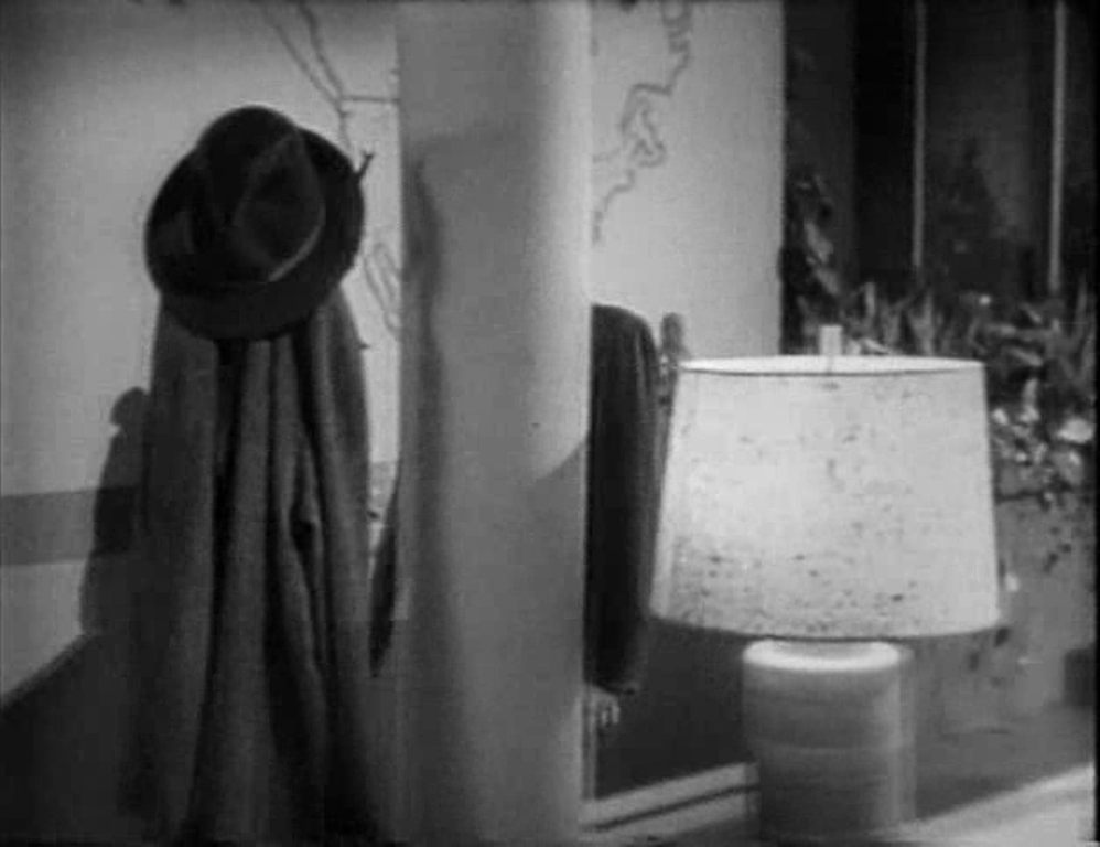
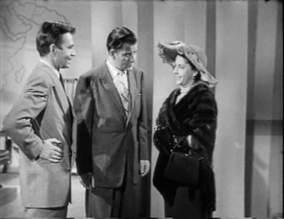
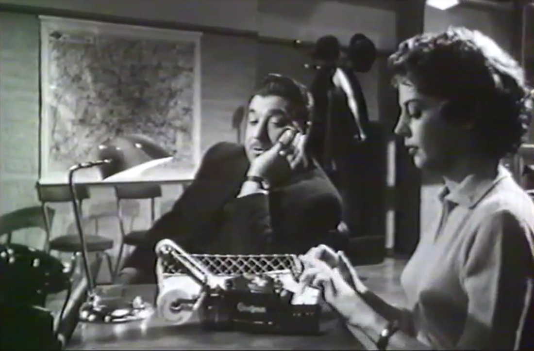
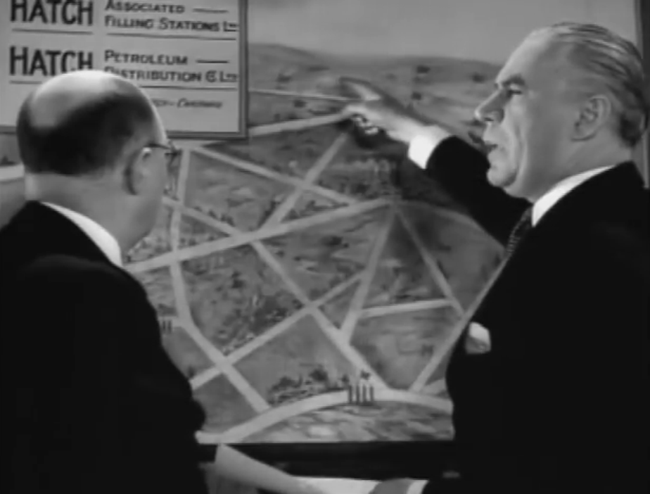
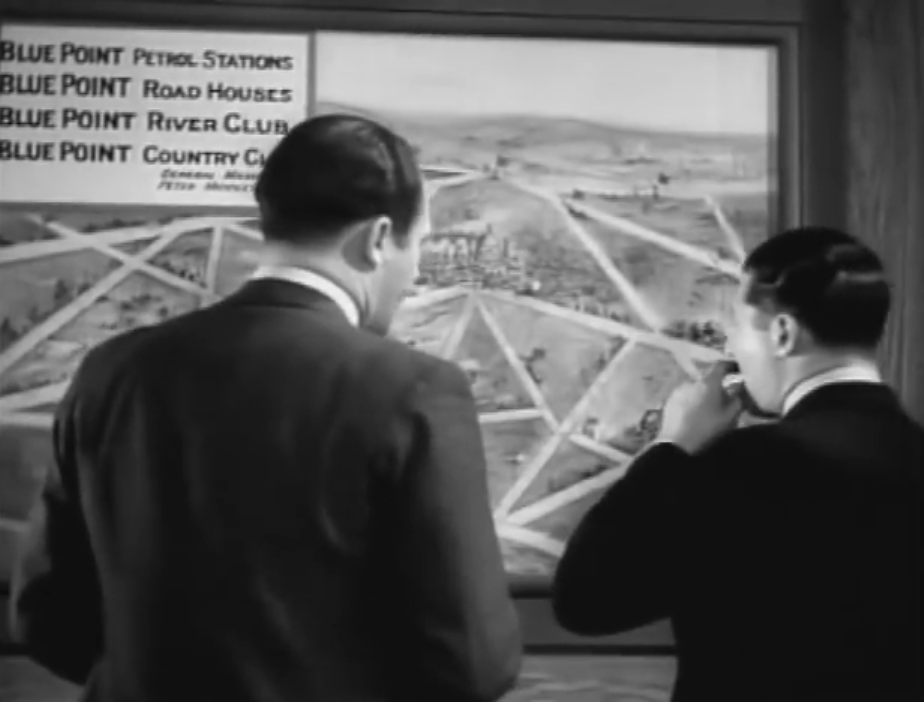
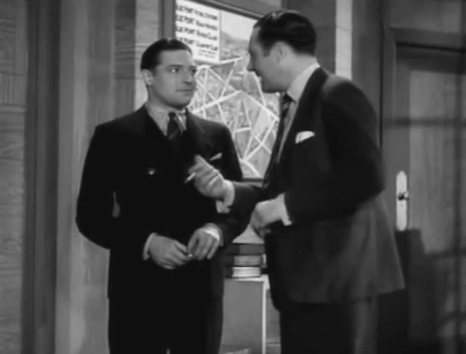
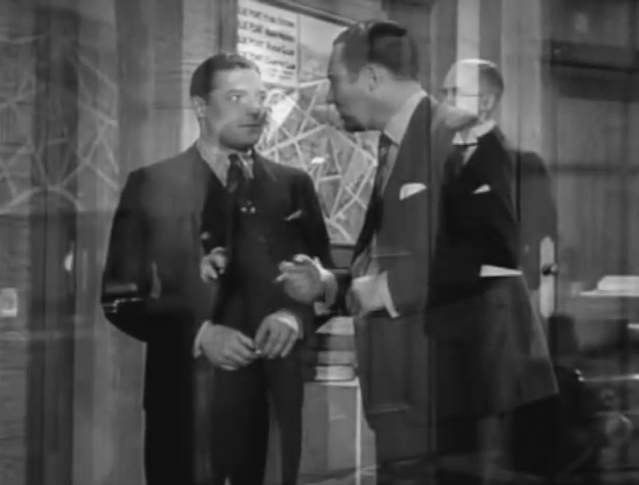
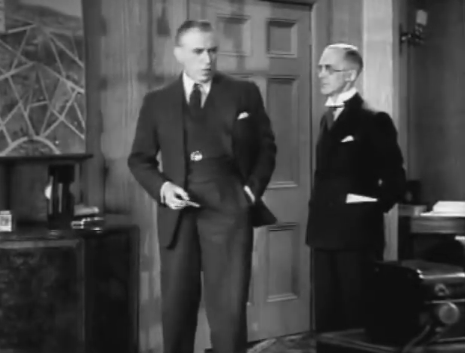
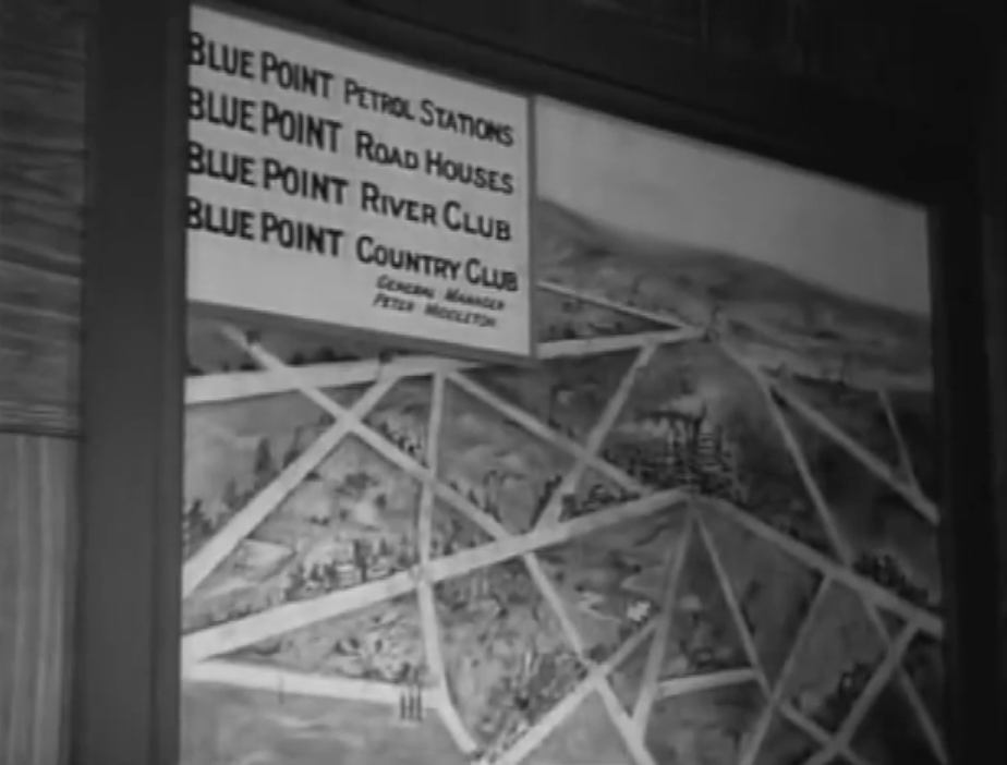
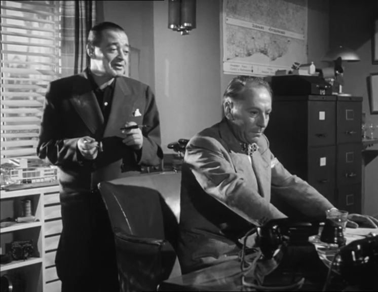
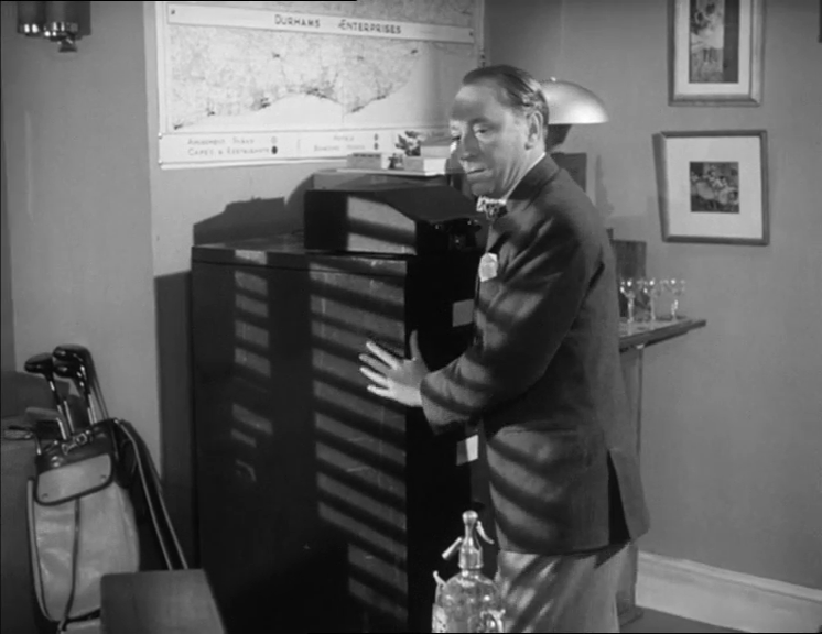
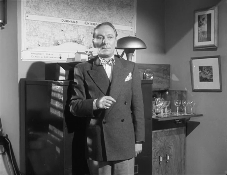
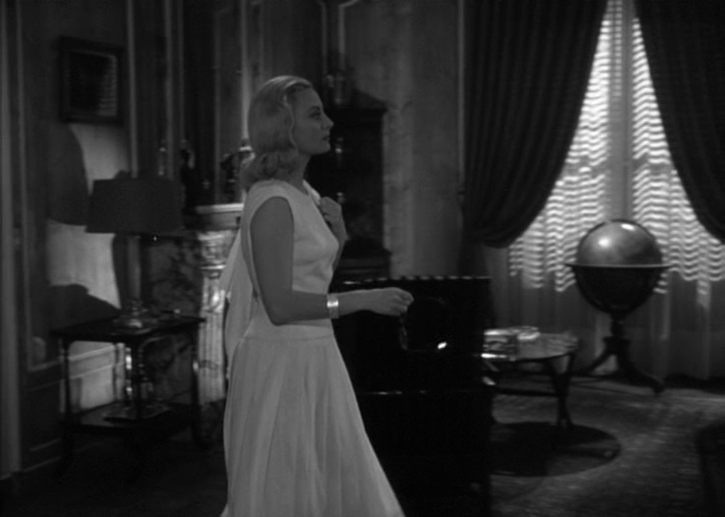
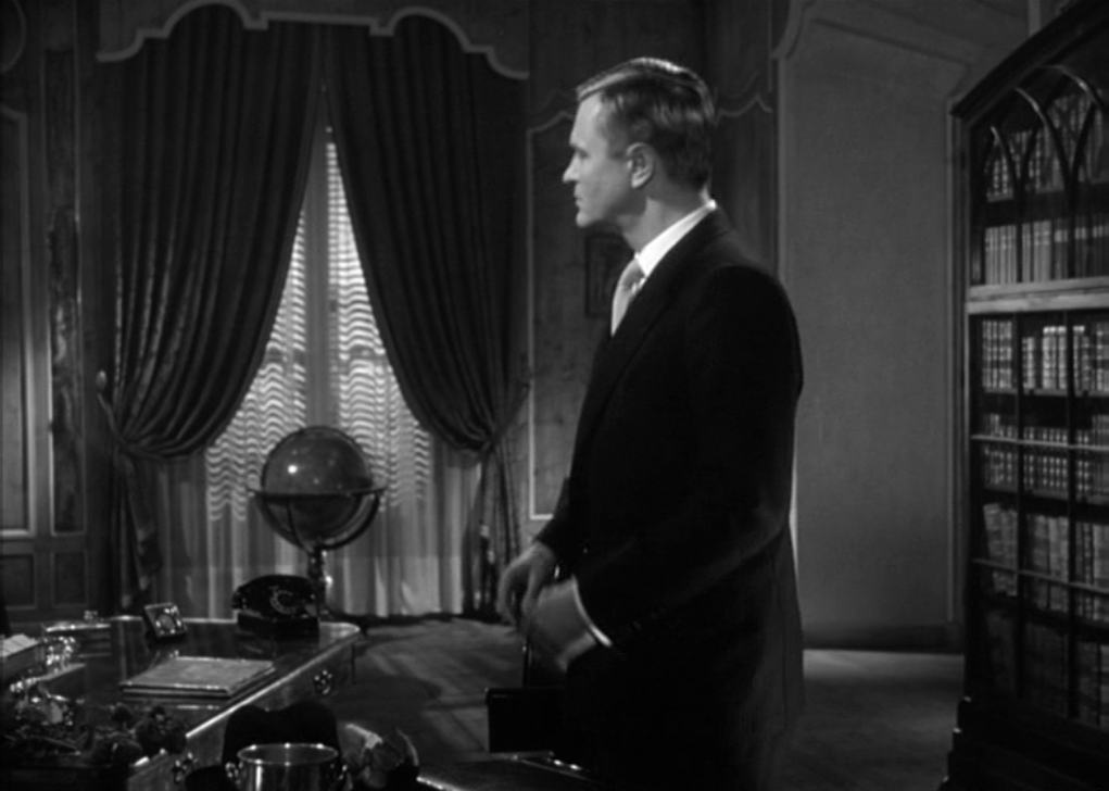
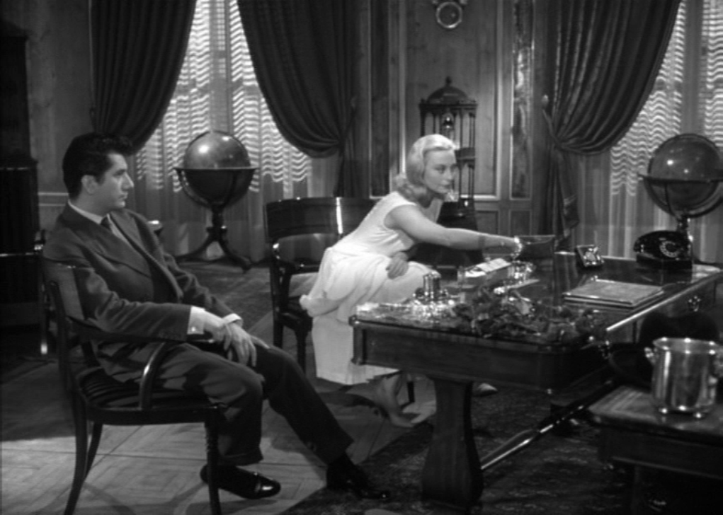
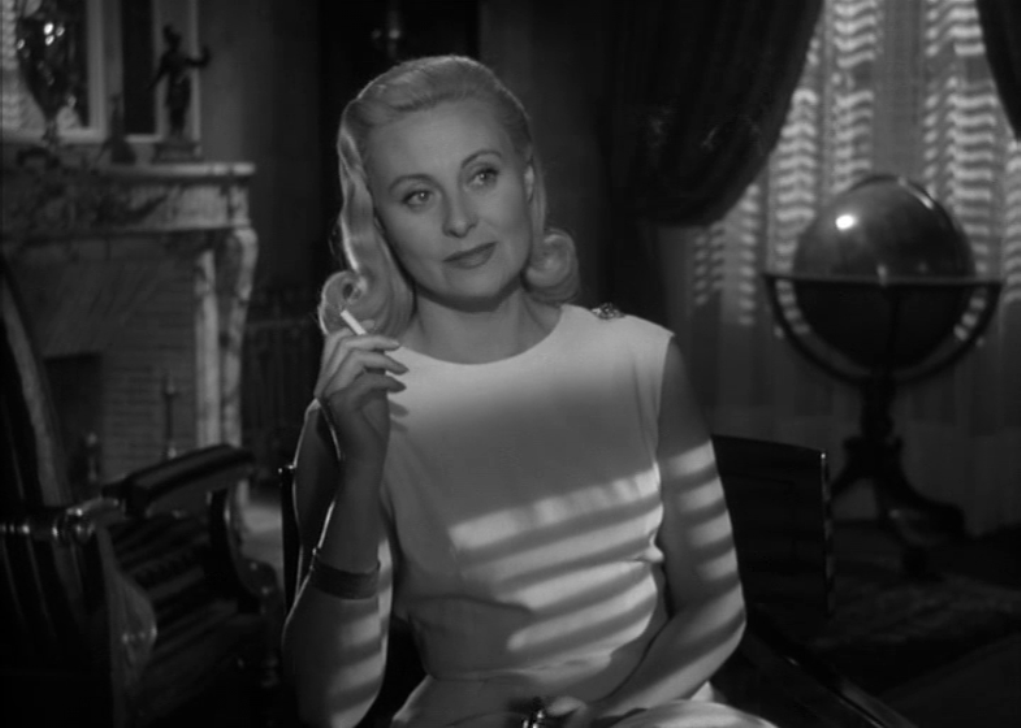
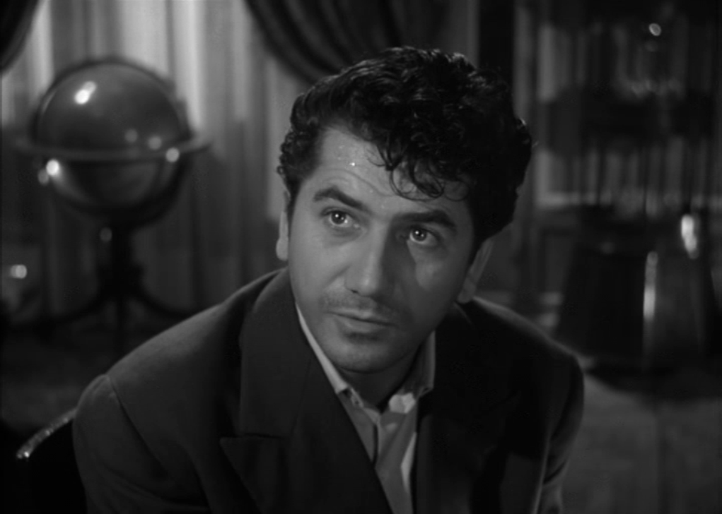
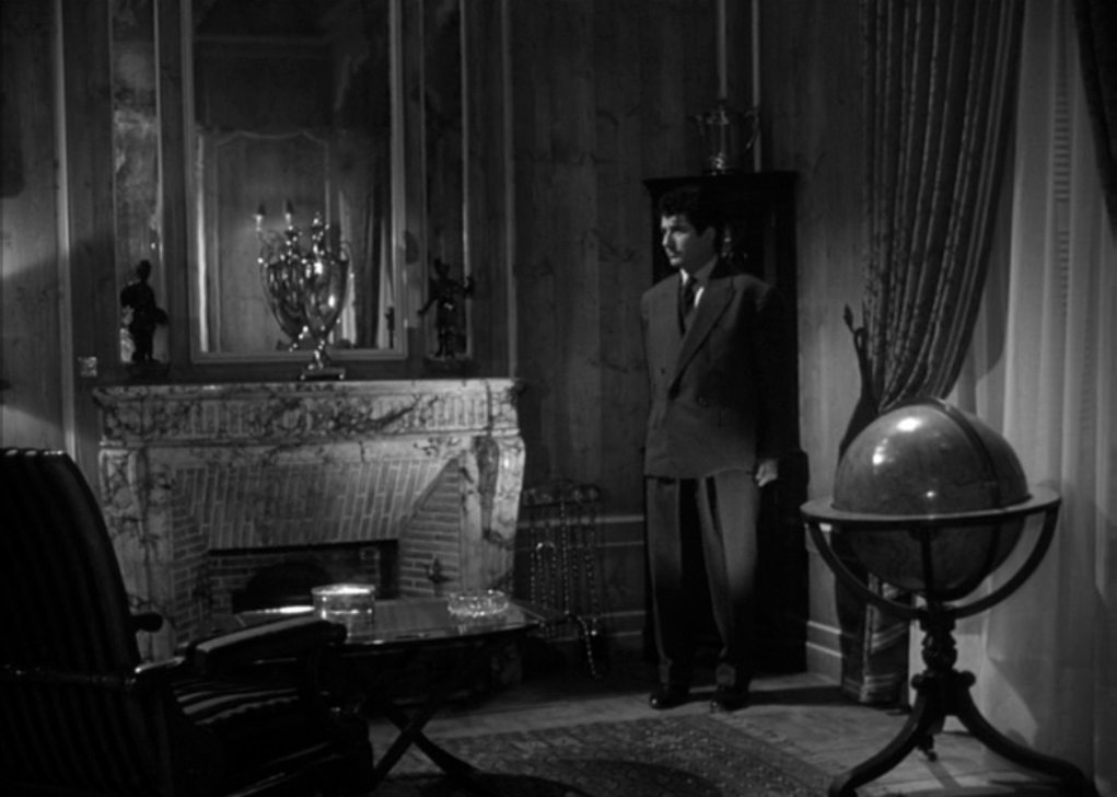
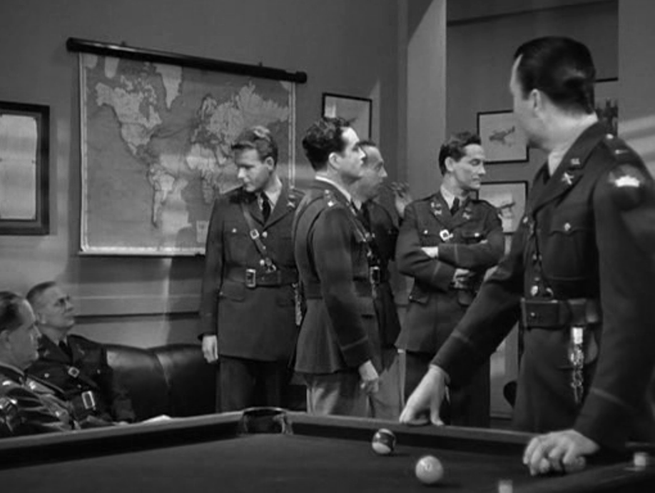
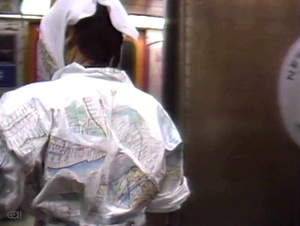 'You're the only readable map in the subway. I can see Central Park, I see the A Train going up to Harlem. My old neighborhood in the Bronx looks pretty good on your cheek.'  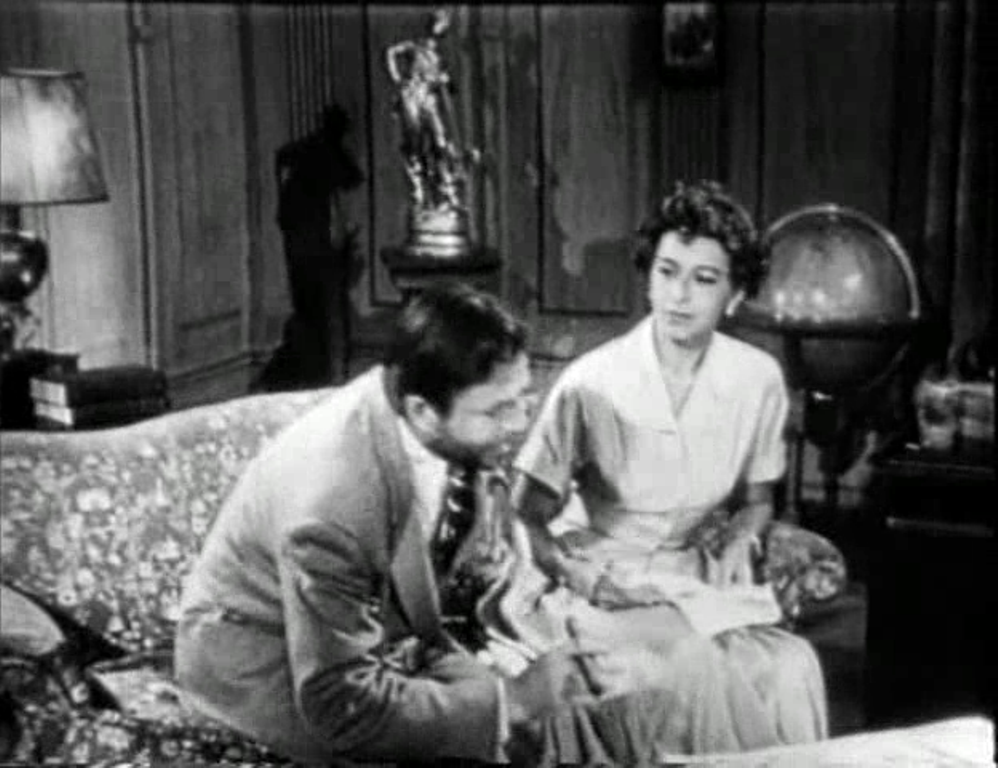 In the frame-story space there is a globe that neither James nor Pamela Mason consults. In one of the three stories then told the walls of an office are decorated with outline maps: These are not in themselves remarkable, but I am perplexed as to what land mass is represented by the outline just east of South America, here: 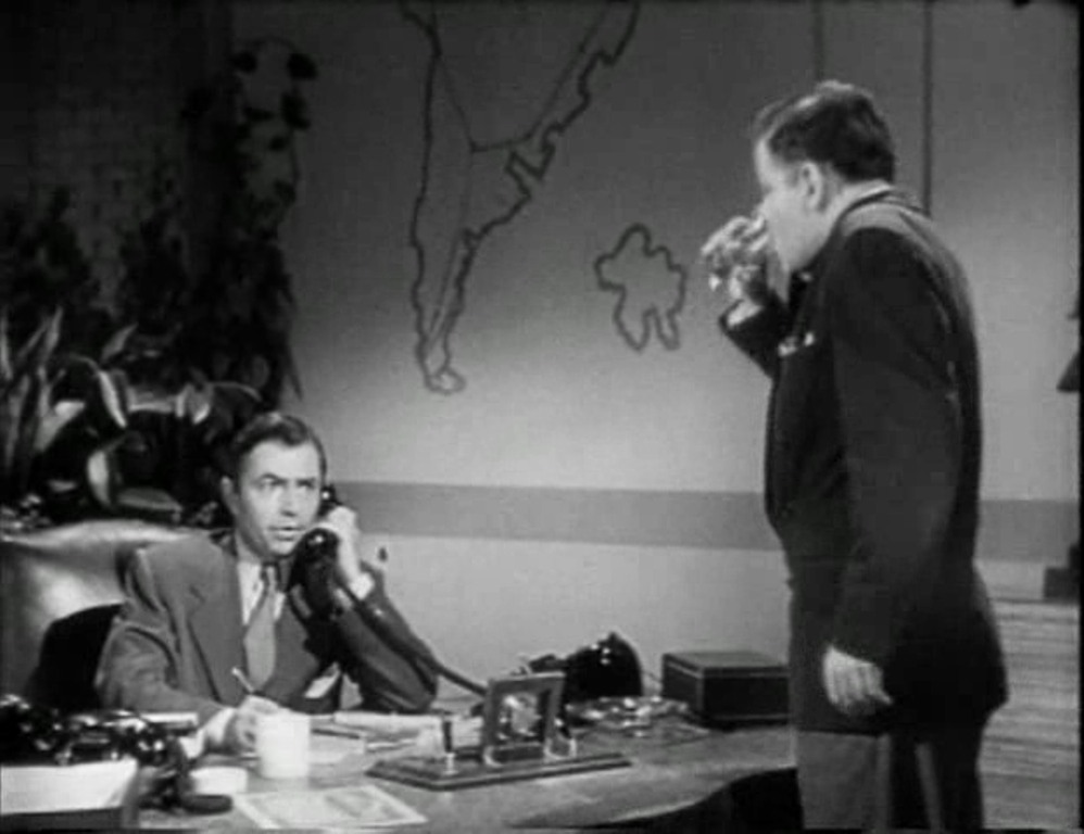 All suggestions most welcome, here.
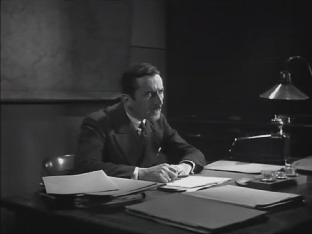
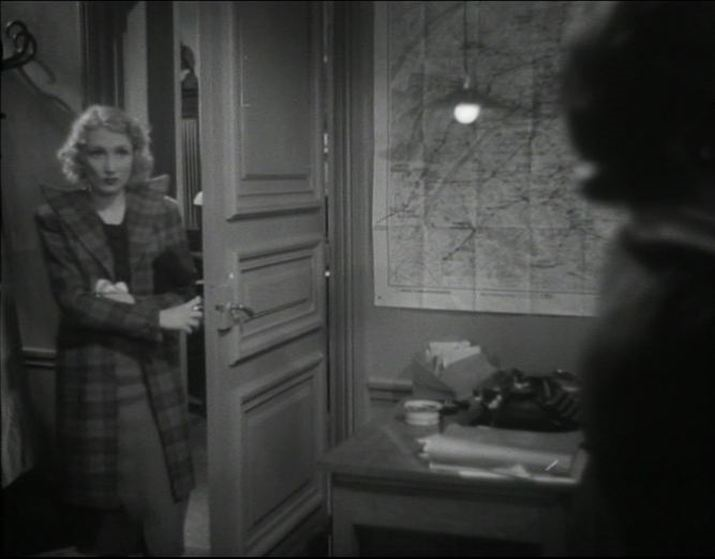
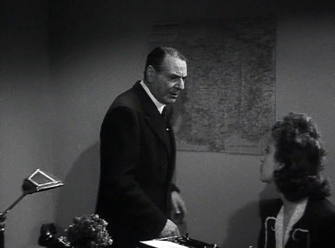
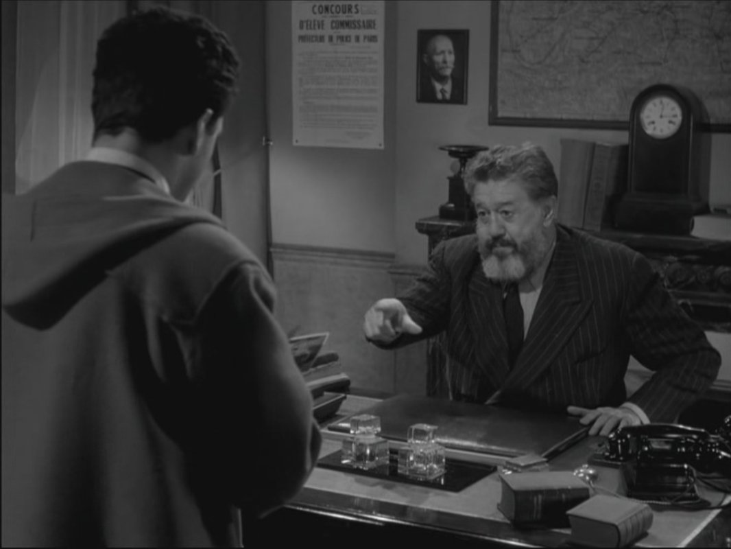
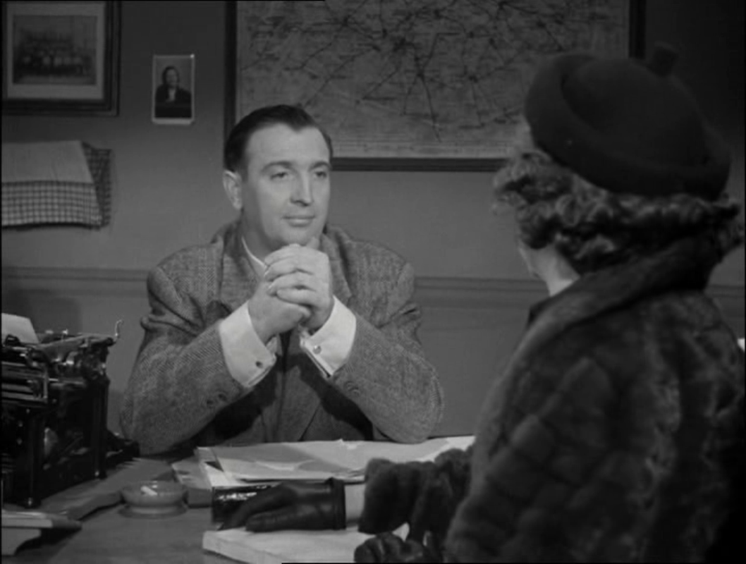
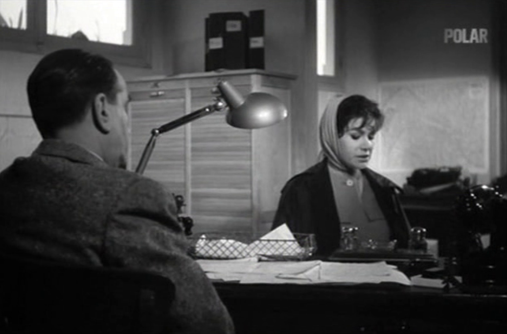
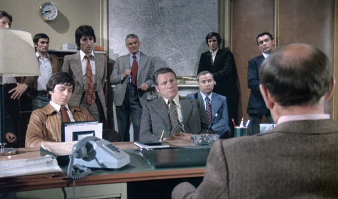
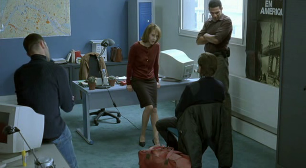
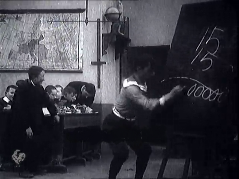
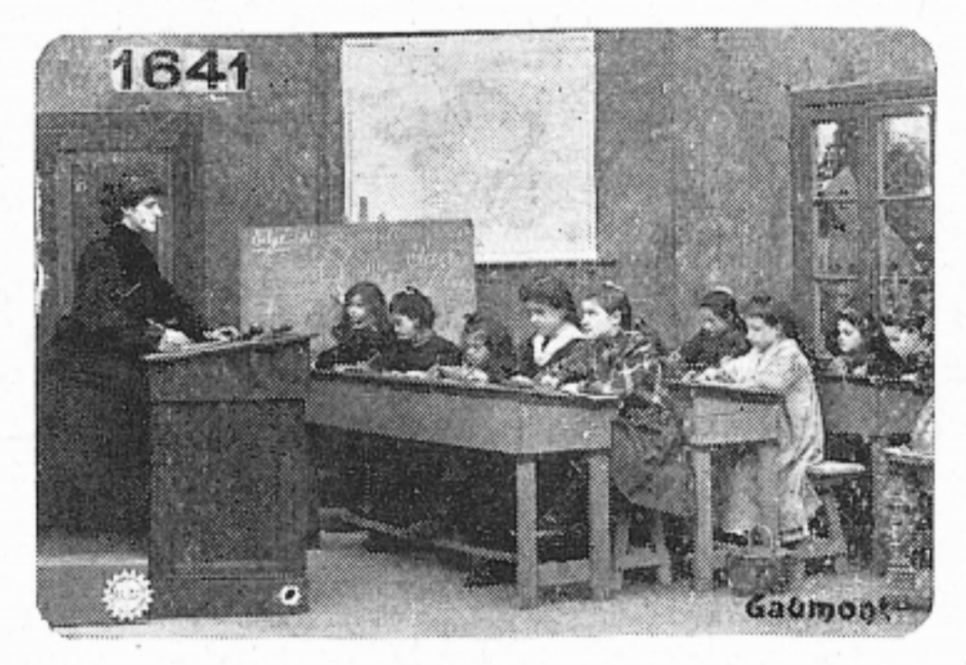
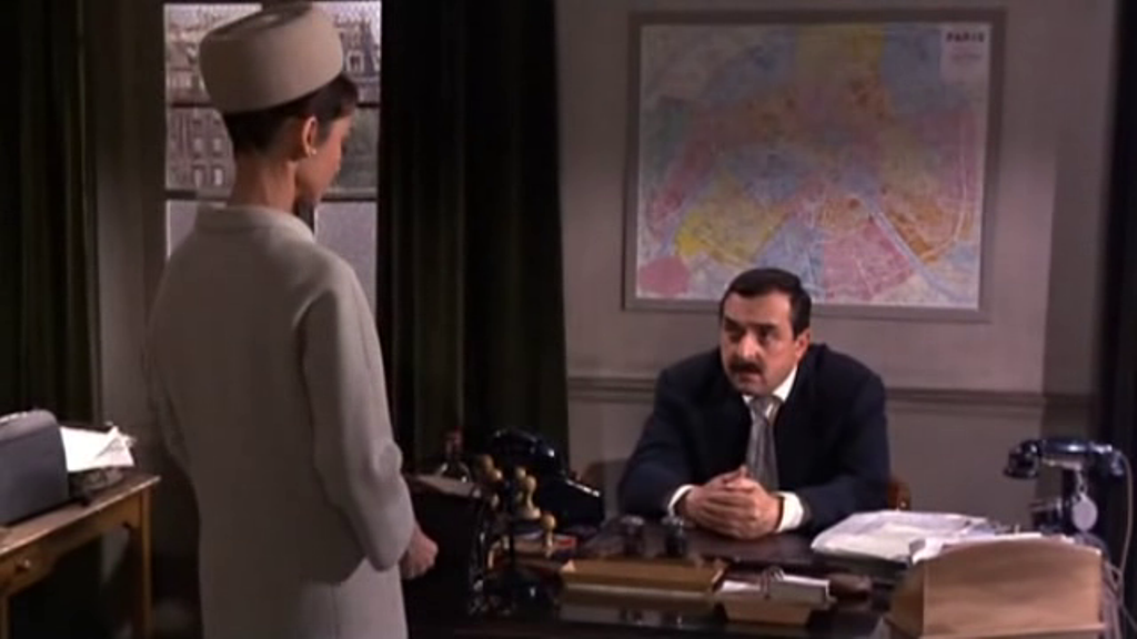 A map in a police inspector's office is standard décor for a Paris-set crime film: 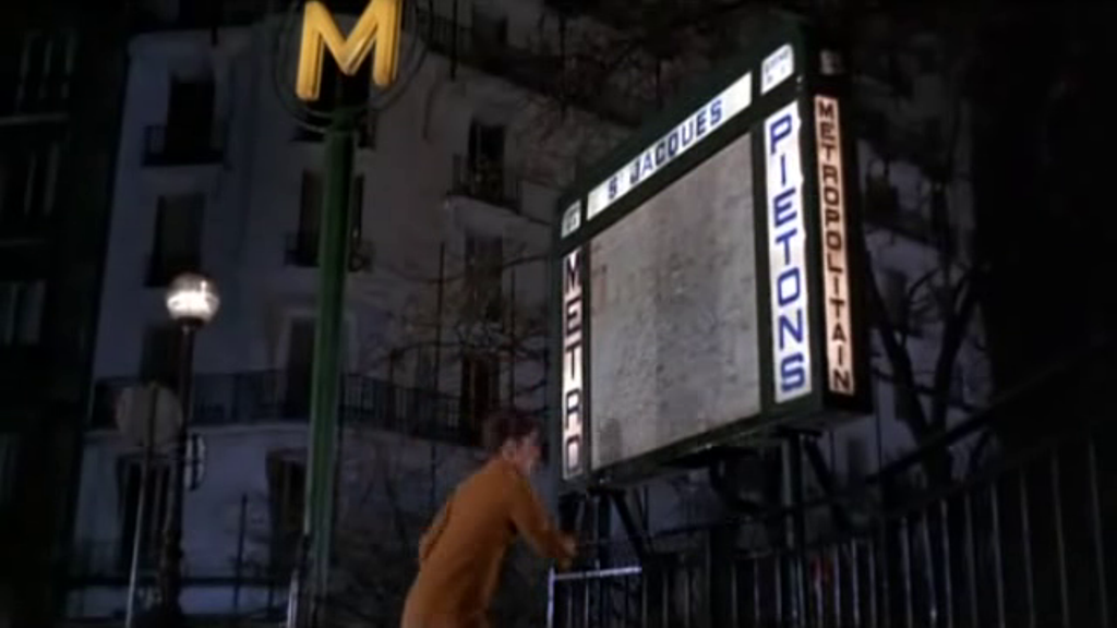 For a collection of maps at Métro station entrances see here. A glimpse of a map of the United States is locale-establishing décor:  These maps are standard fare. The cartographic novelty of the film is in the context given for its MacGuffin. At the stamp market, a montage of close-ups represents the truth dawning on first James Coburn then Cary Grant. On some of the stamps shown in close-up are maps: 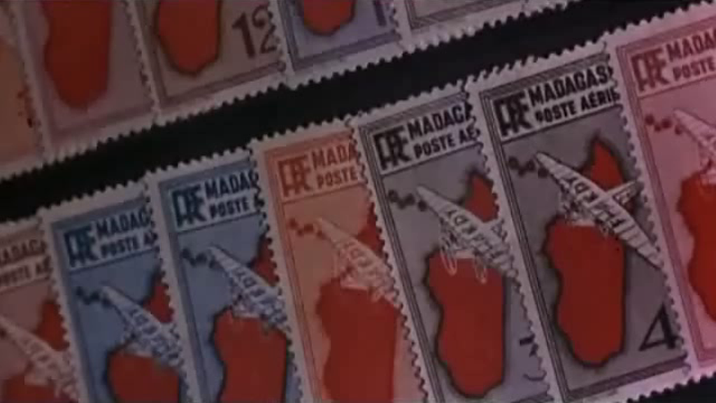 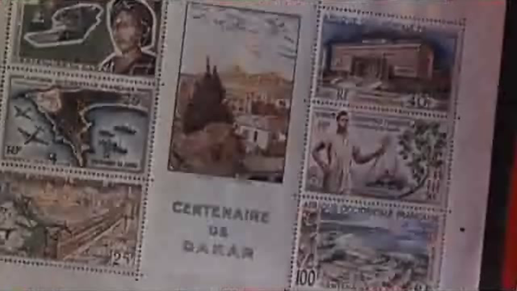 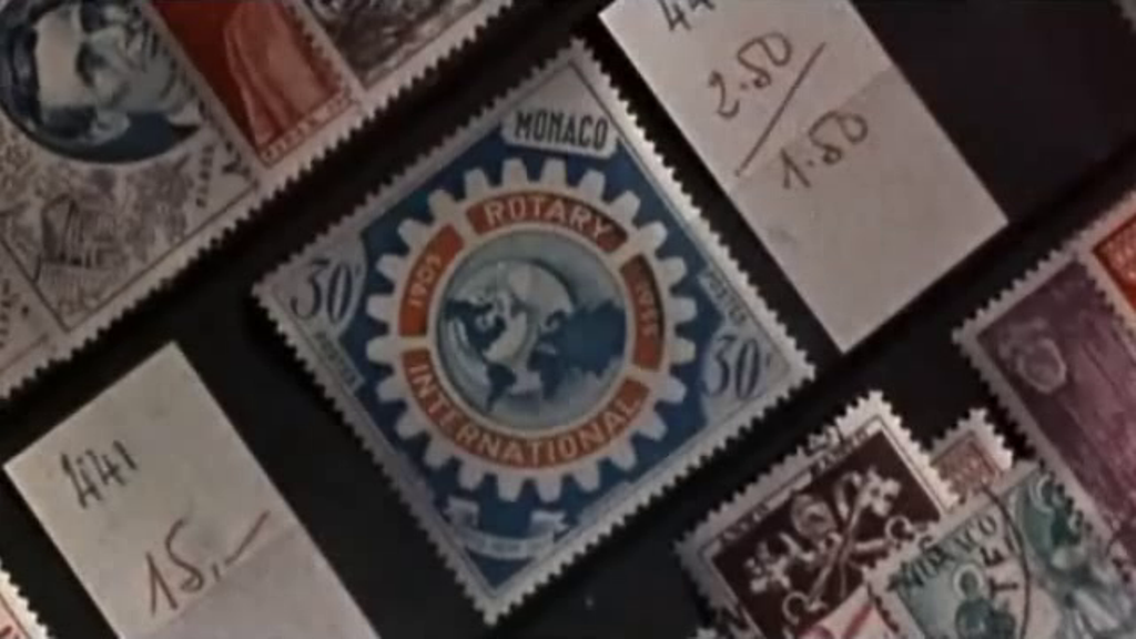 Probably most viewers who look closely at the stamps notice first the film's nod to Hitchcock in this assemblage of other stamps from Monaco: 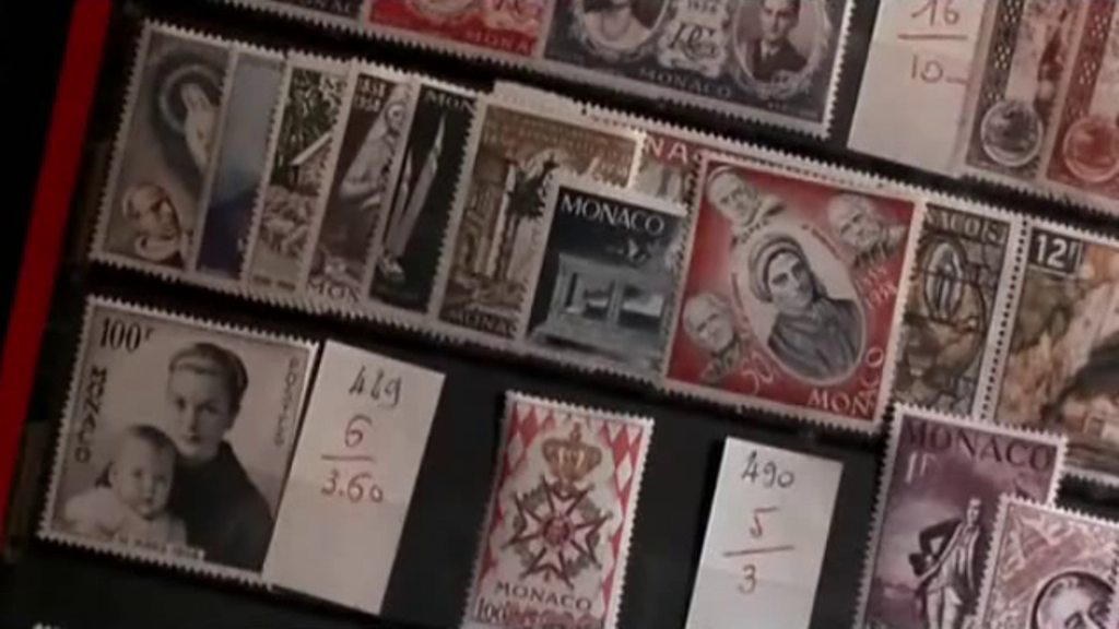 The mazes in the credit sequence by Maurice Binder are lovely and in a way map-like:   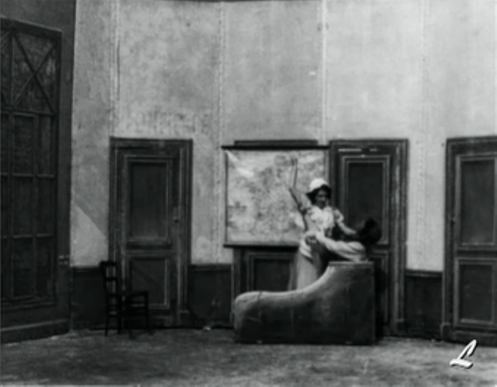 This is probably the first ever appearance of a map in a film, unless it is the appearance of the same map in this film, probably made the same day. The map in La Mort de Marat makes this more than just the reconstruction of an historical event, since it corresponds to the map in Paul Baudry's Charlotte Corday, from 1860, making Hatot's film one of the earliest cinematic adaptations of a painting: 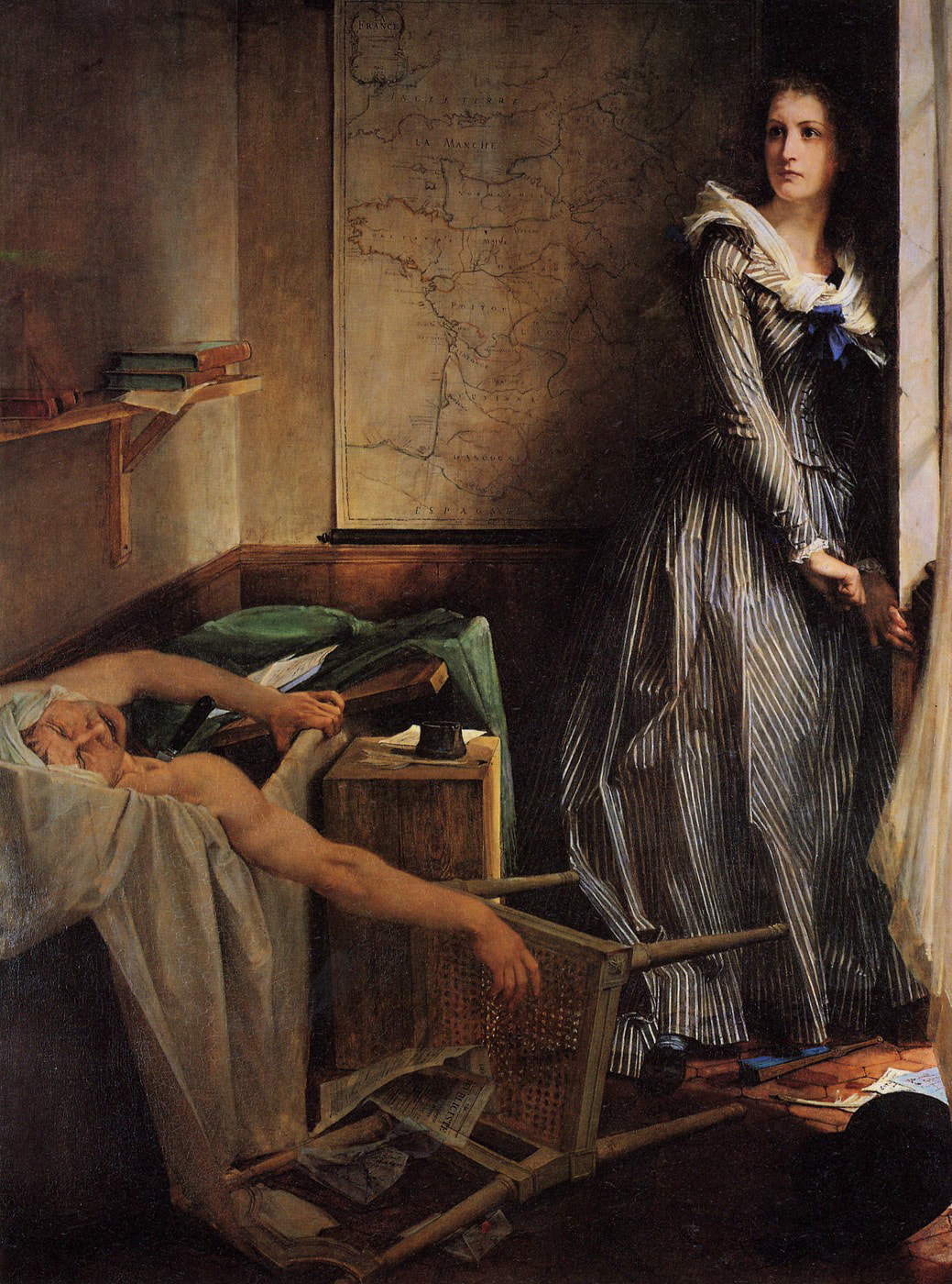 Baudry's painting is in the Musée des Beaux-Arts at Nantes.
The image of Hatot's film is from the CNC. For more about this film see the Catalogue Lumière here. For more on early appearances of maps in films see here. 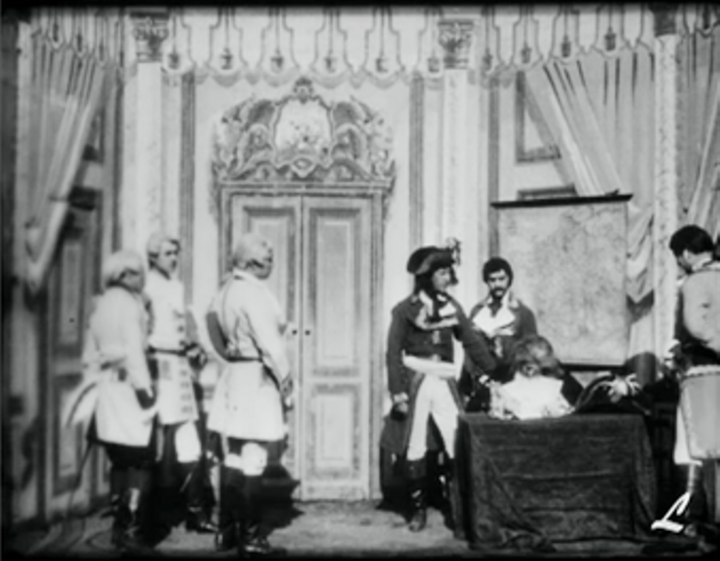 This is probably the first ever appearance of a map in a film, unless it is the appearance of the same map in this film, probably made the same day. The image above is from the CNC. For more about this film see the Catalogue Lumière here.
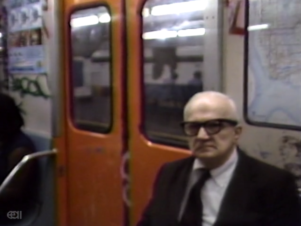
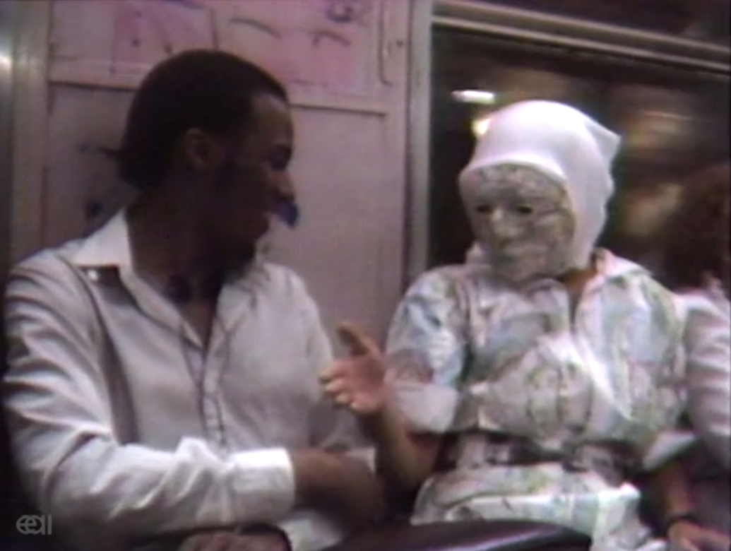
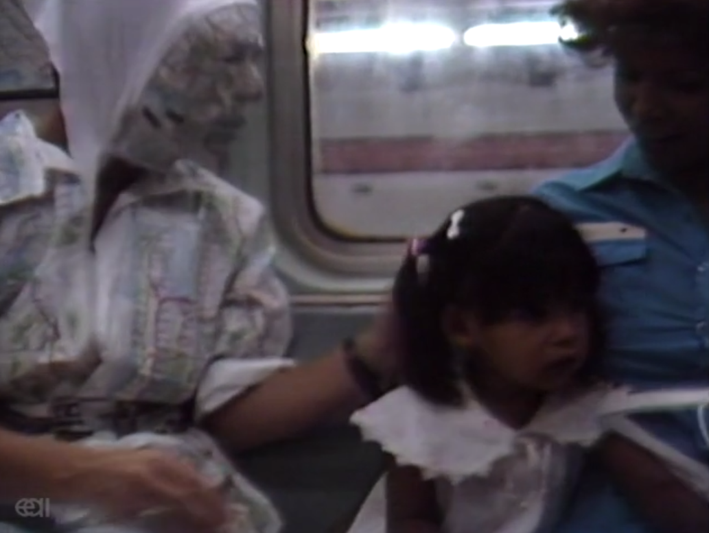
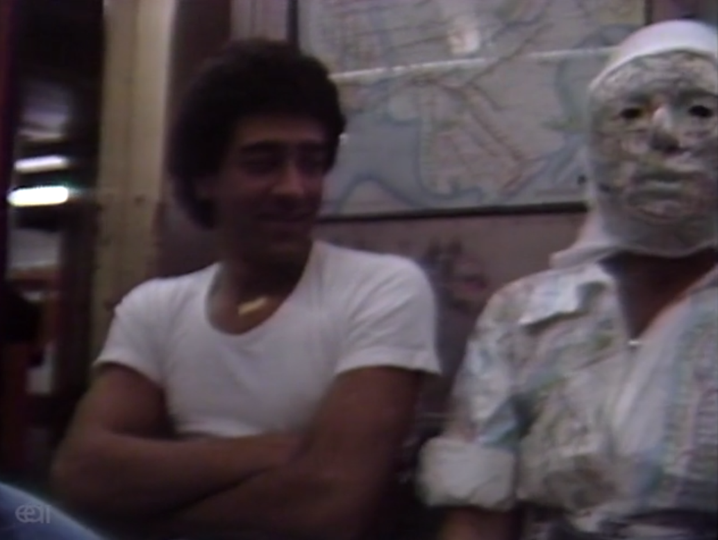
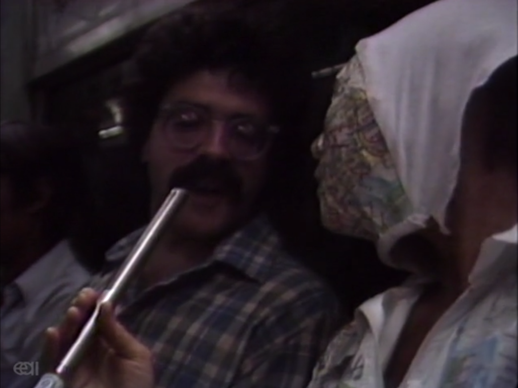
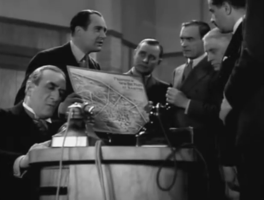
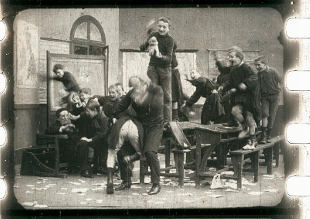
For more on early appearances of maps in films see here. 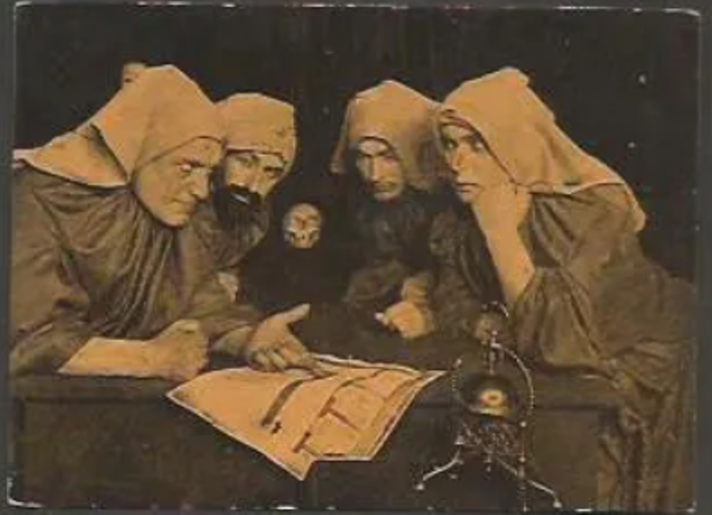 This still is from an episode of the series that I haven't yet identified; it appears to show a group of men disguised as nurses or nuns, consulting a map.
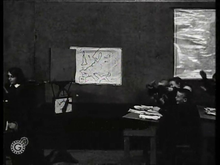
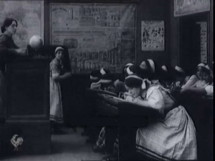
  'Quand les petites écolières et quand les écoliers arrivent en classe pour la première fois, on leur montre une bien belle image accrochée près du tableau noir. C'est le portrait d'un aimable pays et qui porte un beau nom bien clair: ça s'appelle la France.'
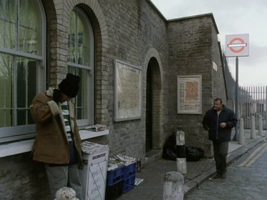
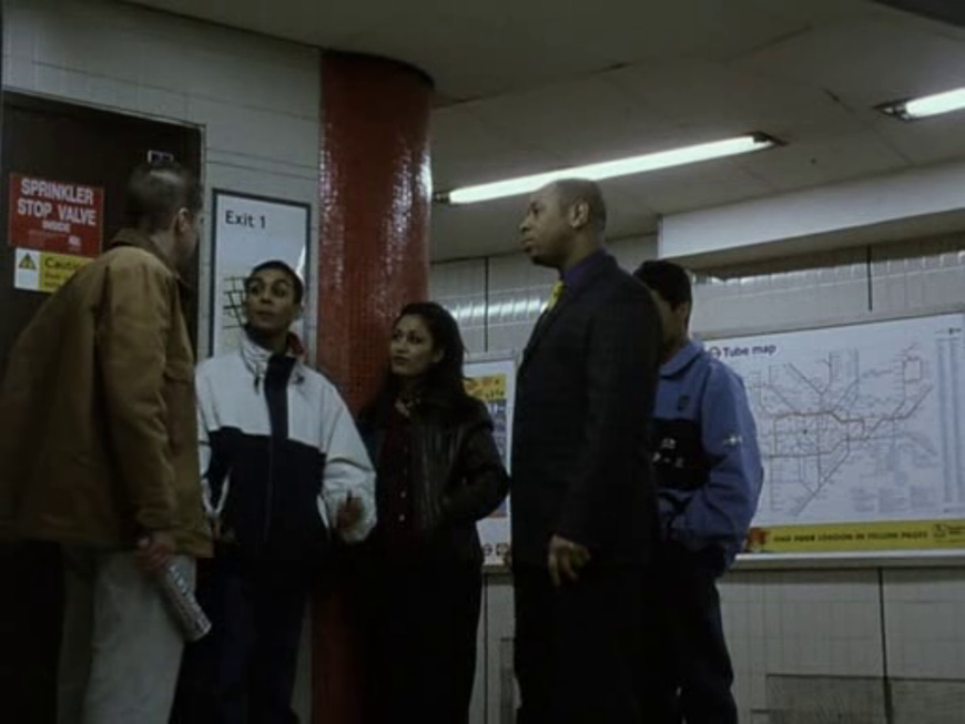
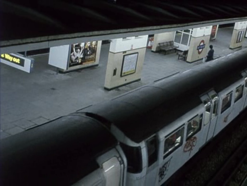
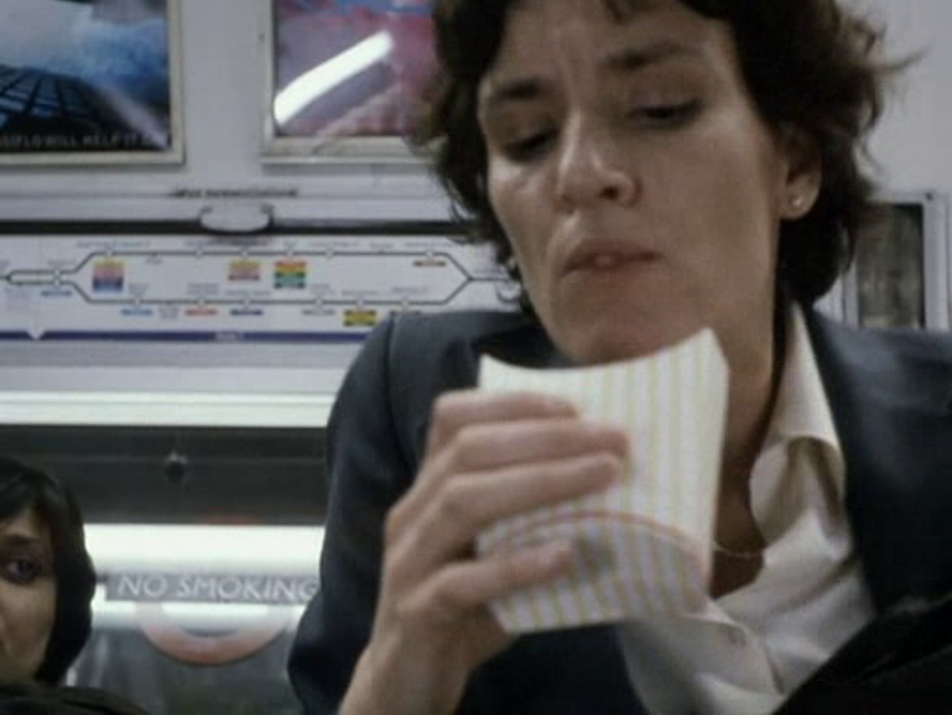
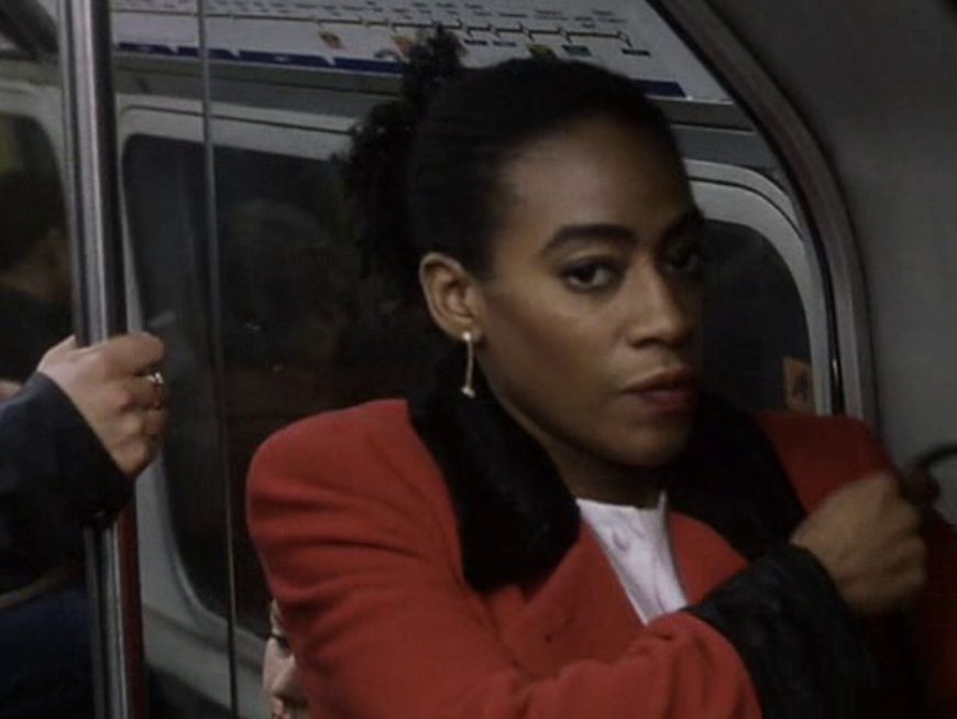
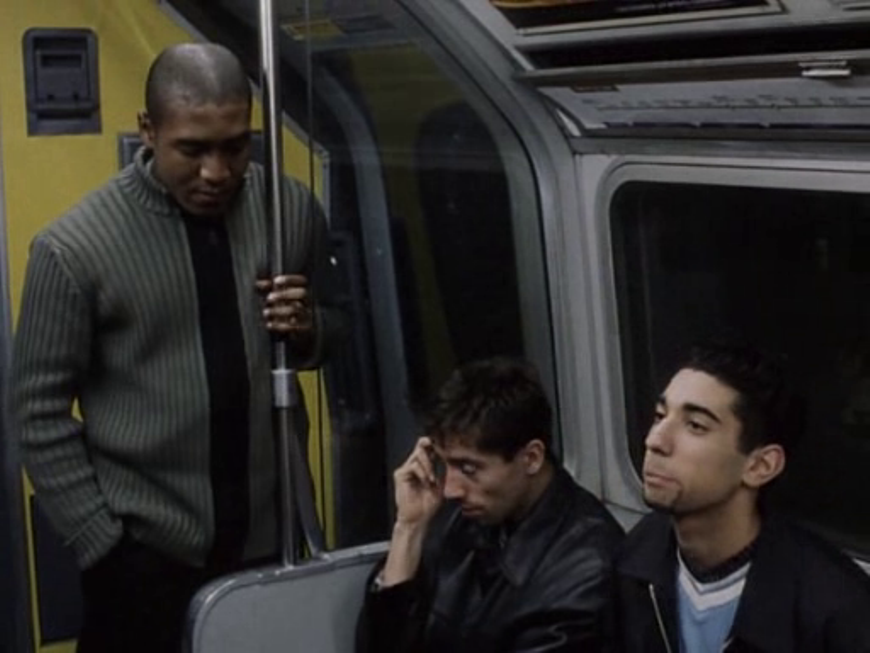
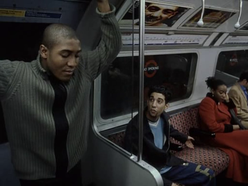
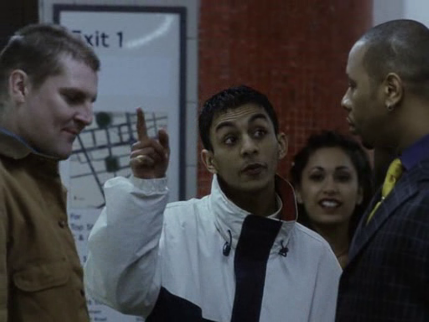
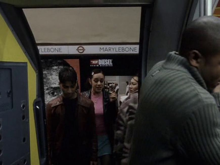
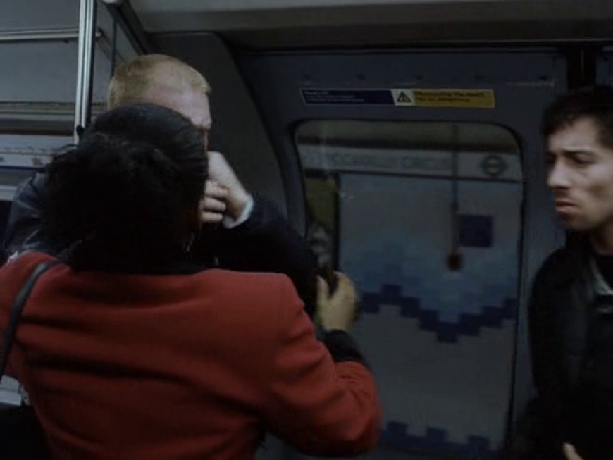
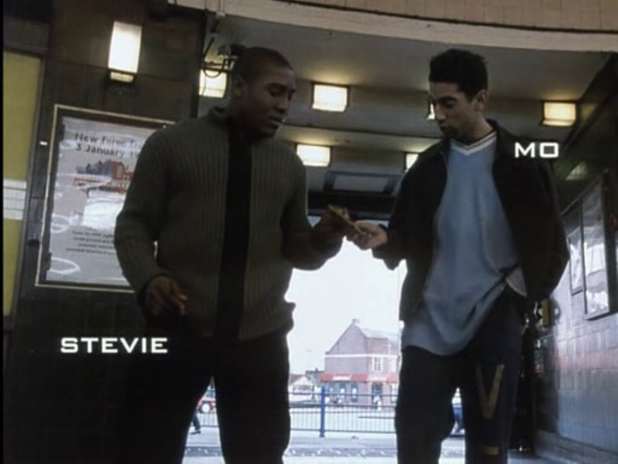
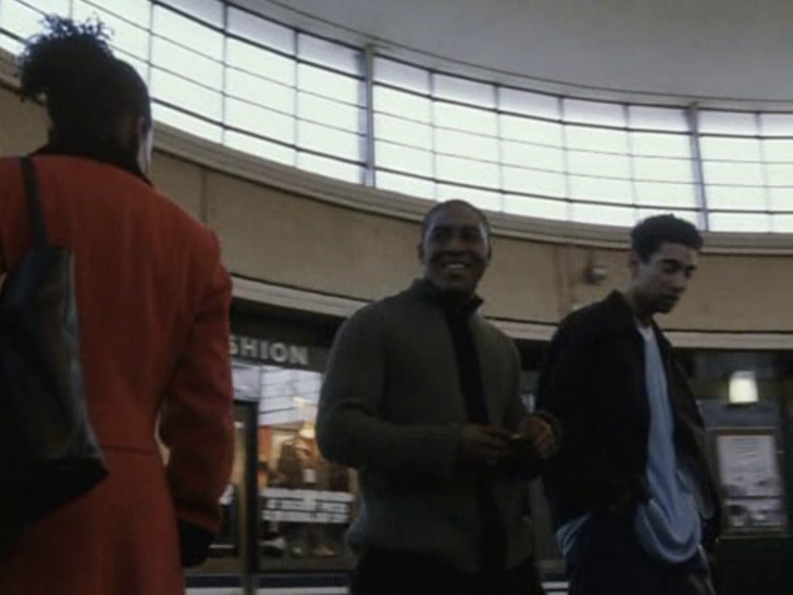
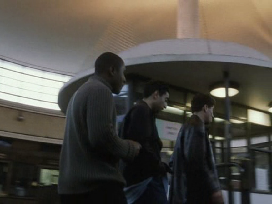
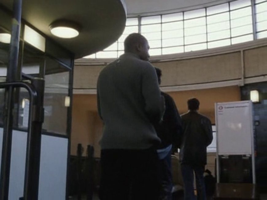
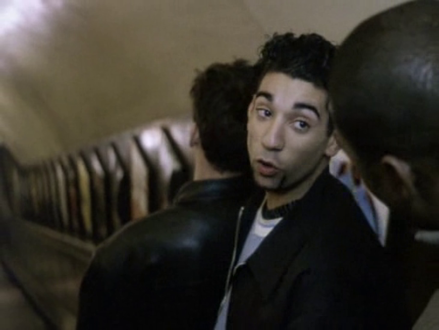
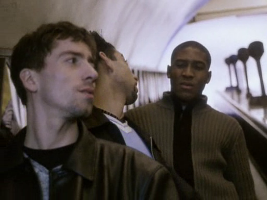
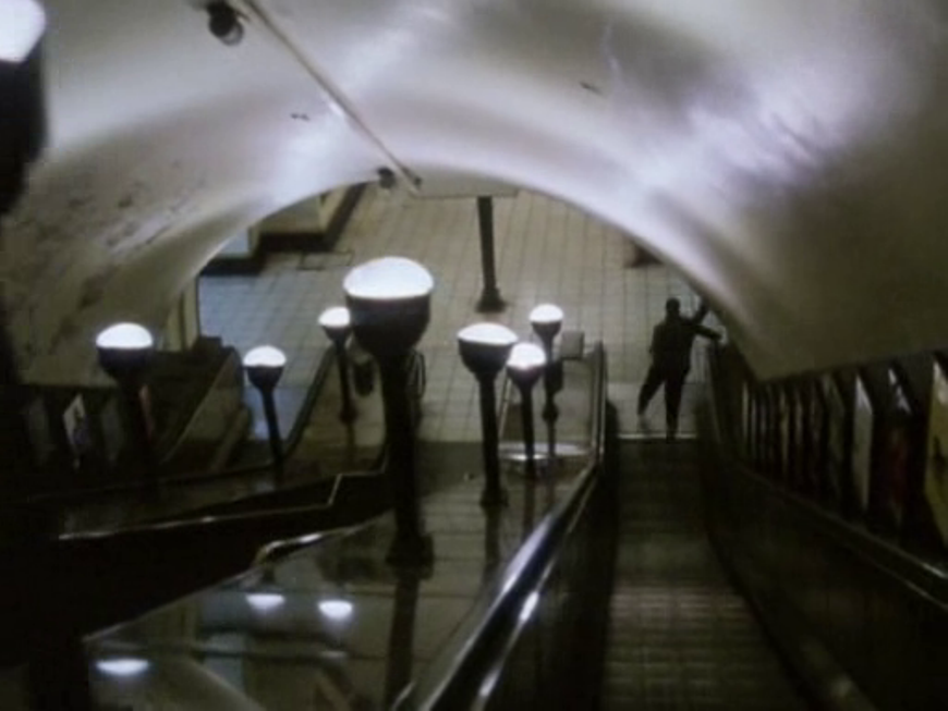
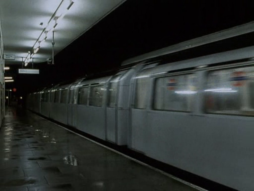
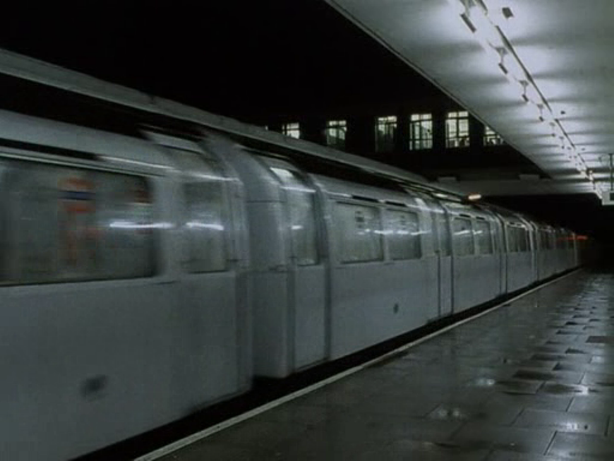
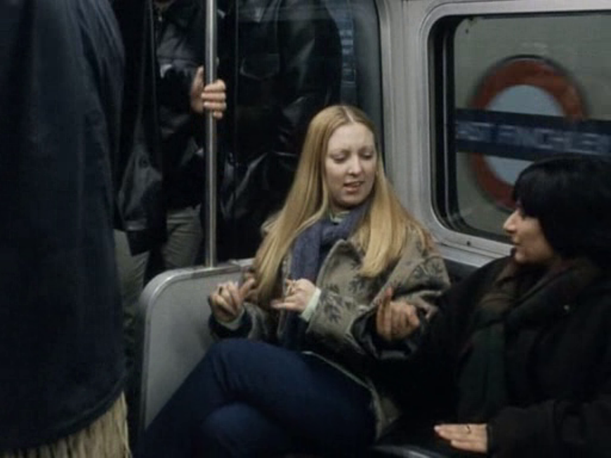
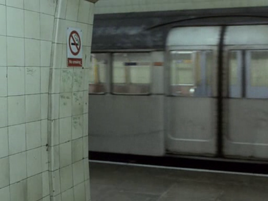
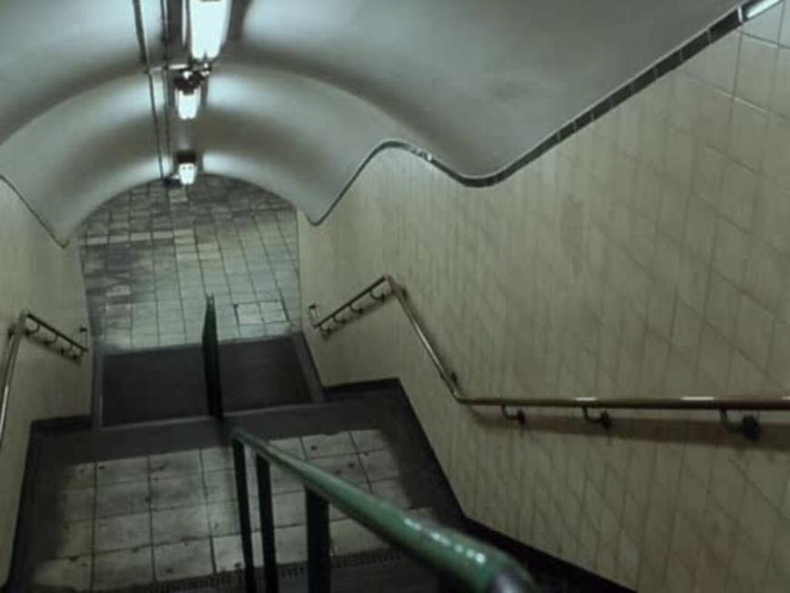
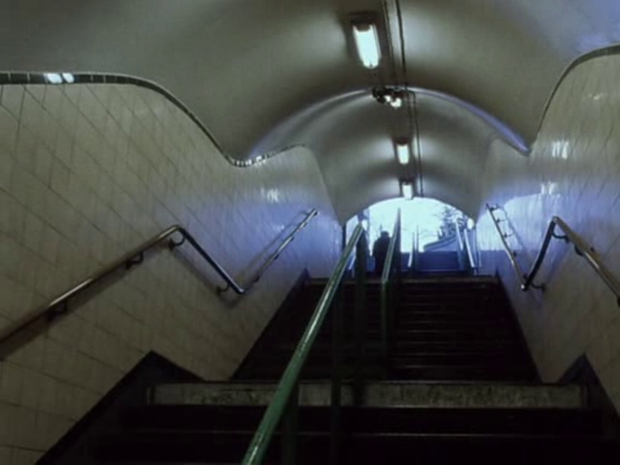
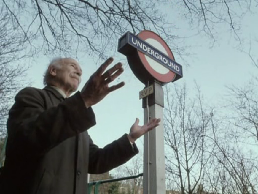
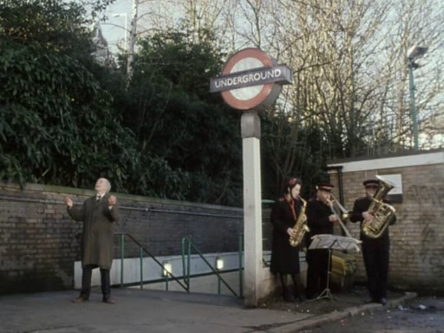
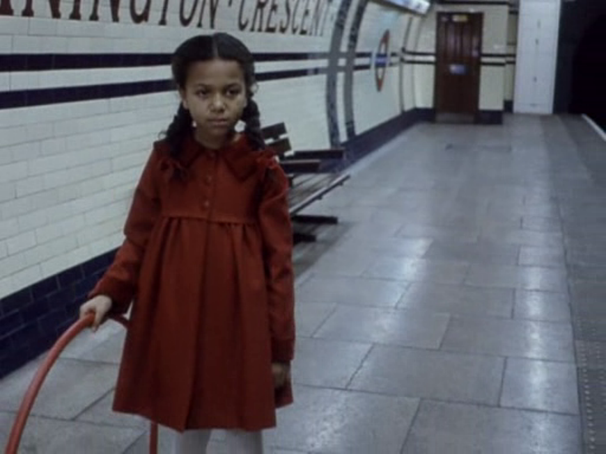
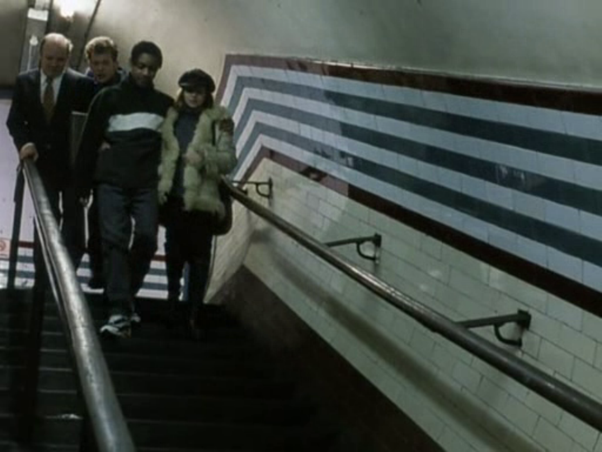
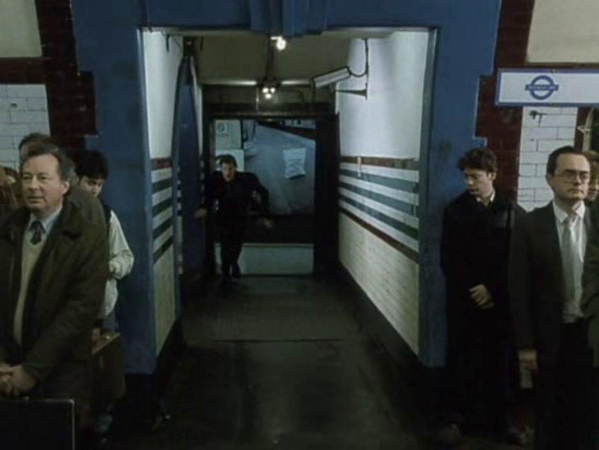
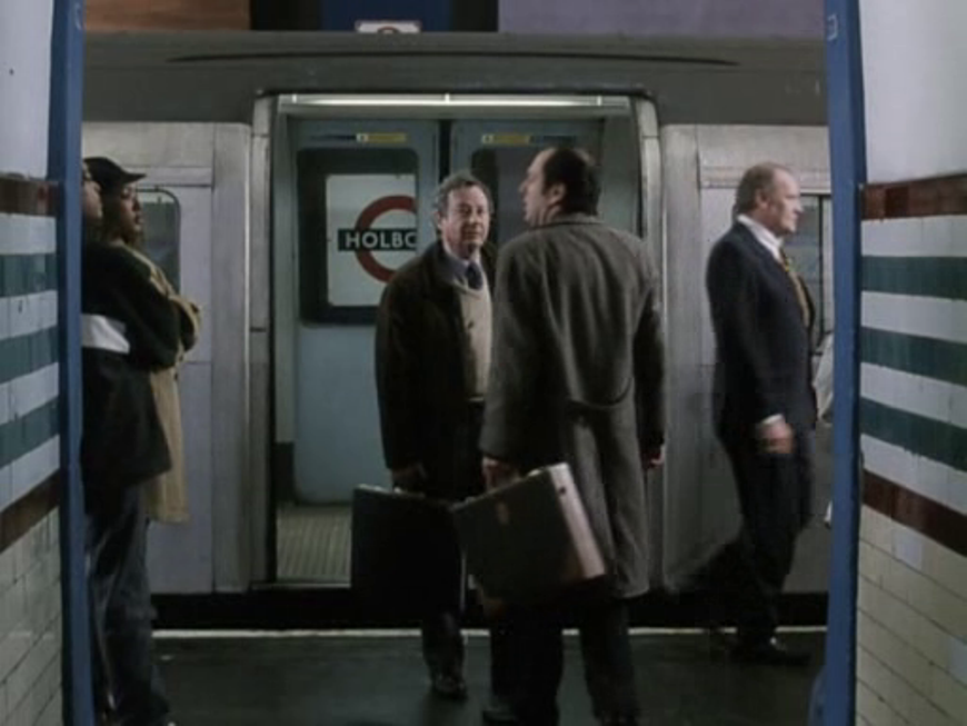
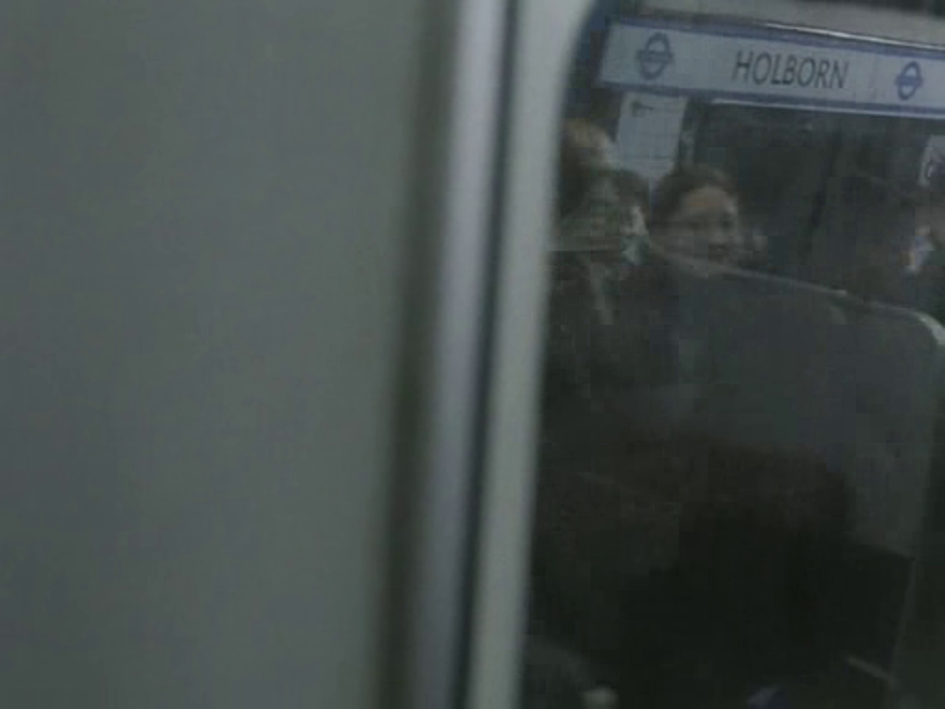
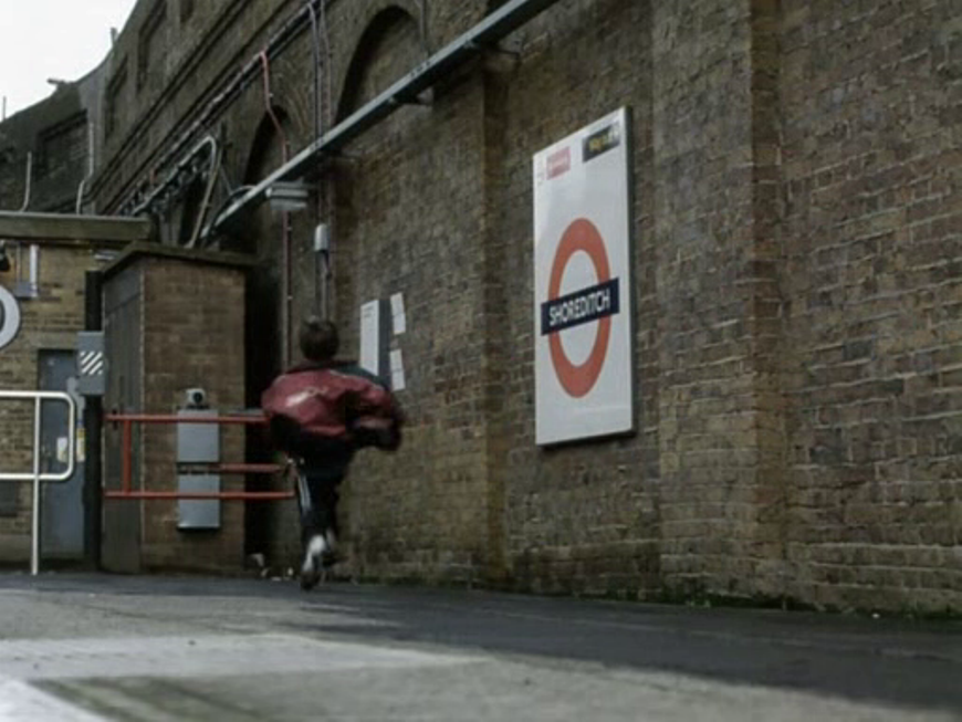
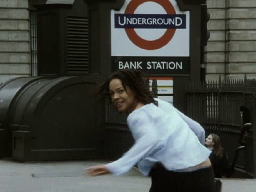
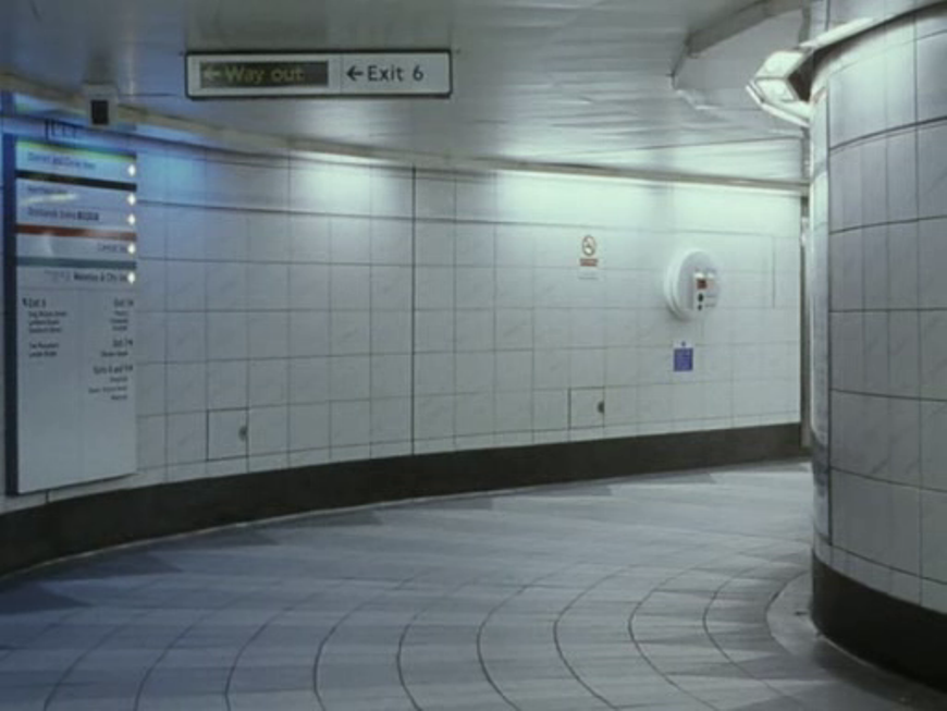
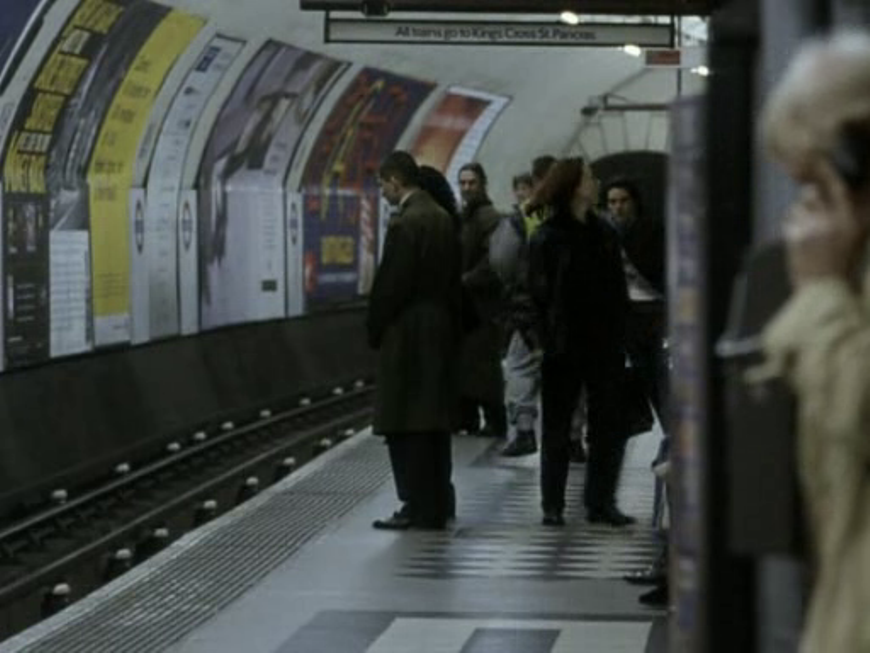
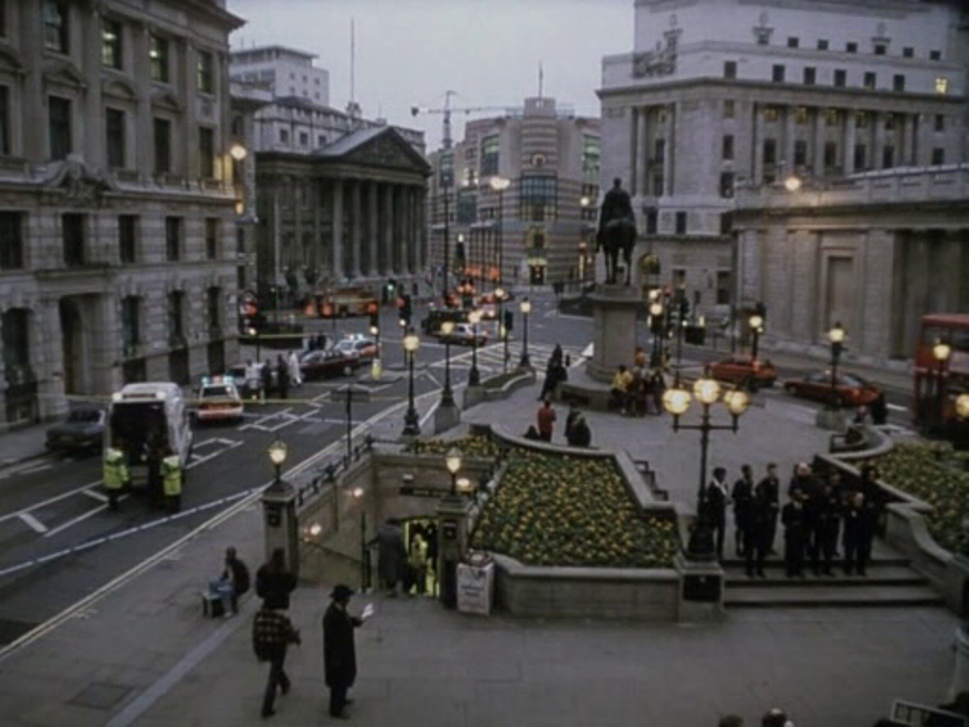
The one map in the film shows the south coast of England, including the film's locations in Hastings and Bexhill-on-Sea: Even if no one at any point examines one closely, many London Underground-related maps are visible across the nine episodes of this compilation film. The most map-heavy episode is 'Grasshopper': Not all of the episodes achieve topographical coherence; 'Grasshopper' is the worst offender, showing characters entering a Piccadilly Line station (Southgate) who then are immediately on a Bakerloo Line train heading for Marylebone, Oxford Circus and Piccadilly Circus stations: As well as maps, Tube Tales features several view of stations I have regularly used. Attractive objects and familiar sights can often compensate for narrative deficiencies: 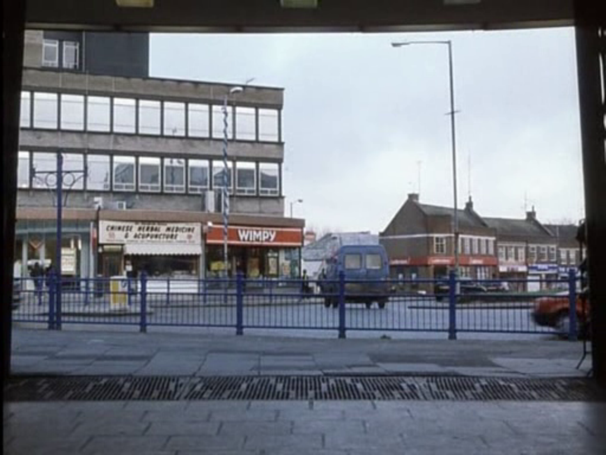 Above is a view out from Southgate Station, towards a now-closed Wimpy Bar that I once frequented. Below are views of the interior of the station: See here for more on this 1933 station by Charles Holden. Below are mapped all of Holden's London Underground stations: 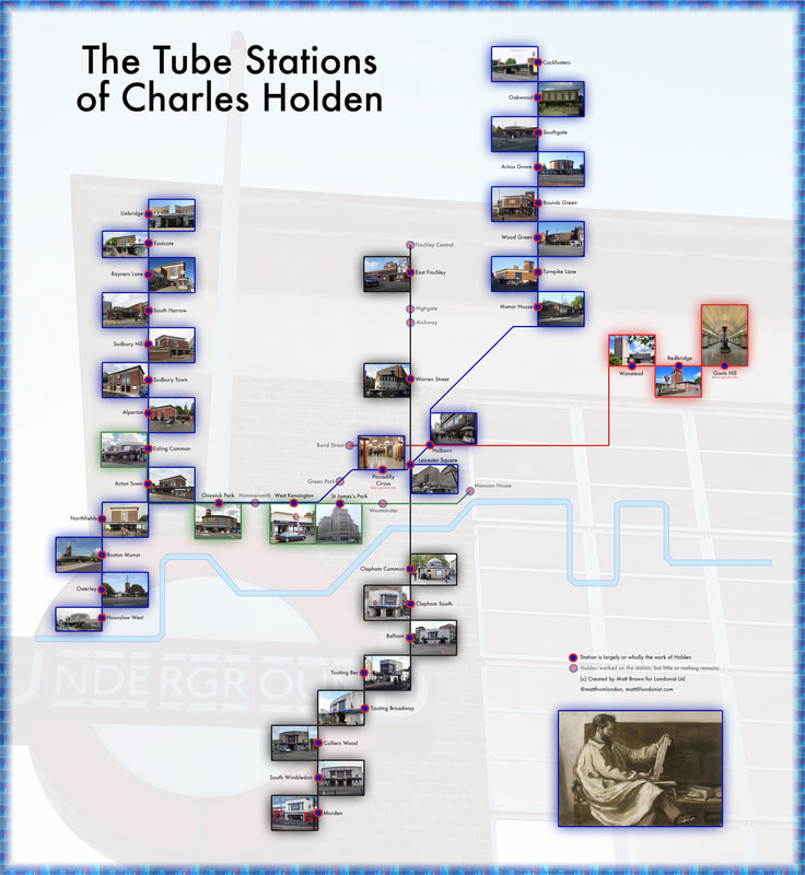 The 'Mr Cool' and 'Mouth' episodes of Tube Tales both feature another Holden station, East Finchley, but neither displays any of its distinctive architectural features:
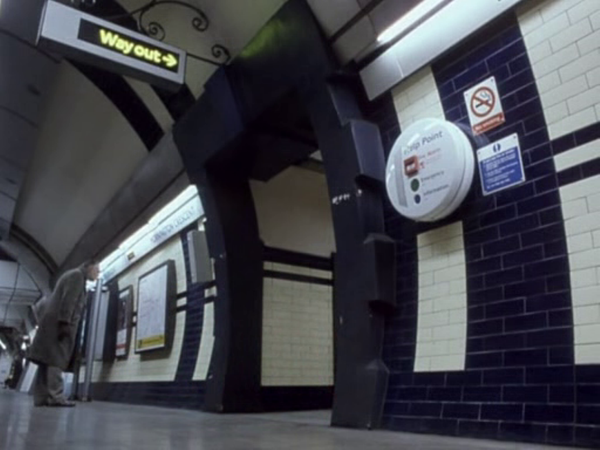
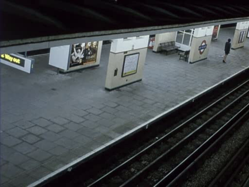
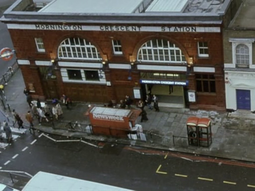
The next stop down the Northern Line from East Finchley is Highgate, the station I use most often; it features heavily in the 'Bird in the Hand' episode: 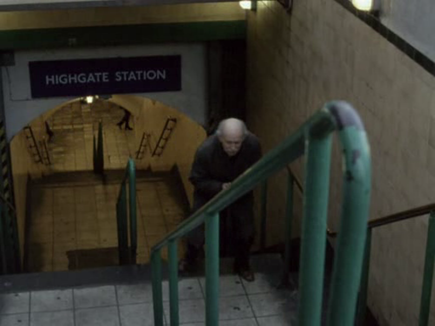 The 'Mr Cool' episode shows the rolling stock depot at Highgate: 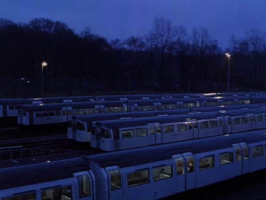 Five stations south of Highgate is Leslie Green's Mornington Crescent Station, featured in the 'Rosebud' episode:
Below are mapped all of Green's London Underground stations: 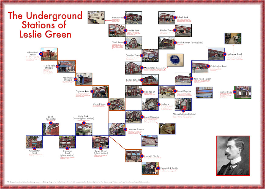 Here are four other stations featured in Tube Tales:
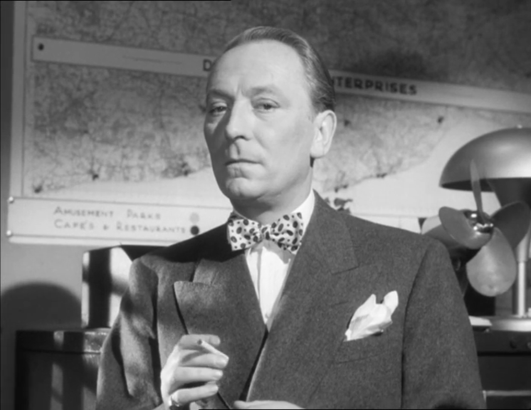
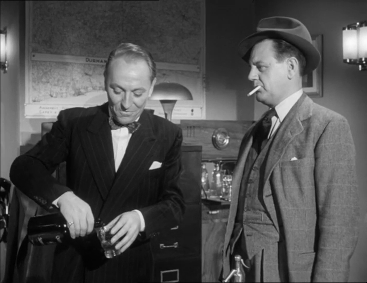
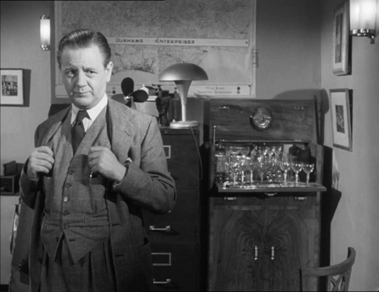
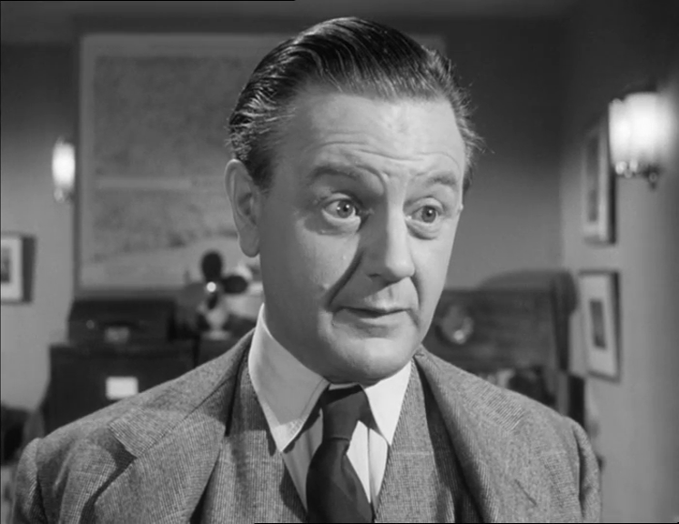
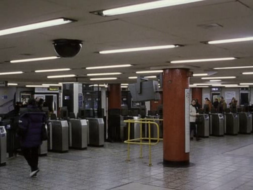
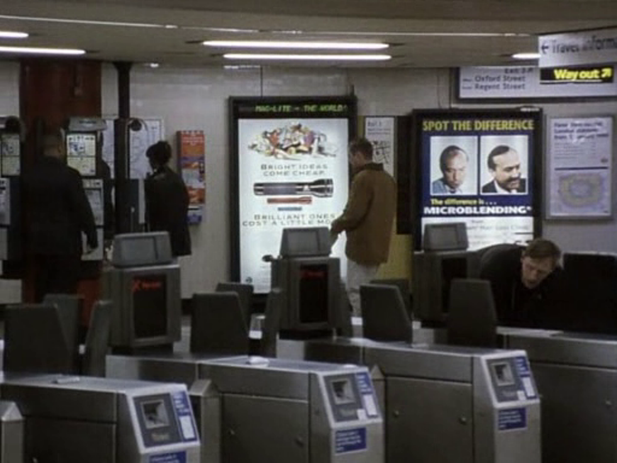
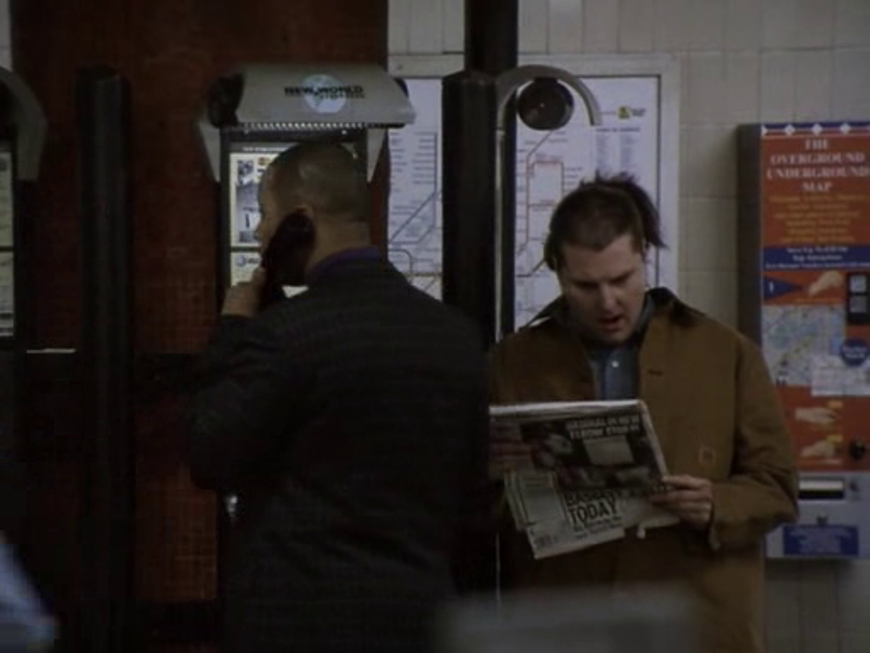
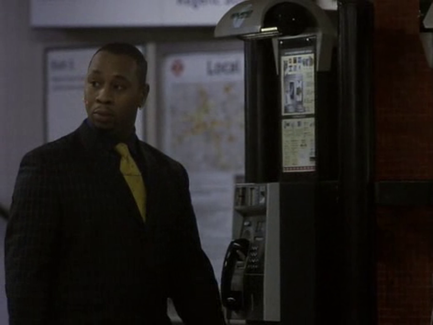
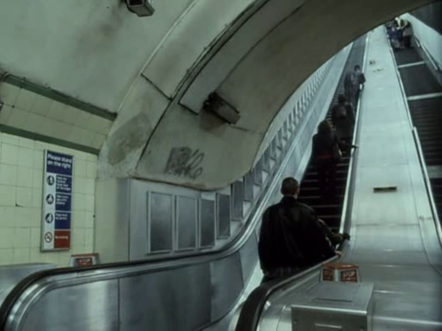
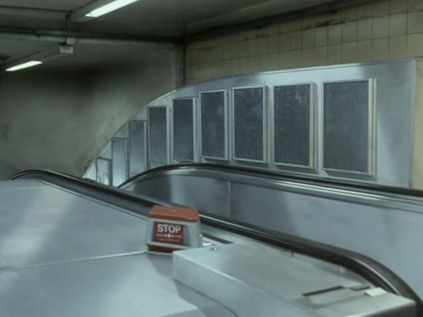
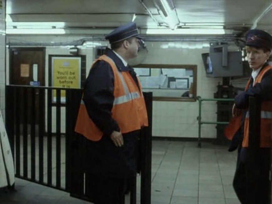
As is clear from the identifications at Reelstreets, to which I am indebted for this post, some station platforms are dressed to pass as others. The worst offender in this respect is 'Great Portland Street Station': 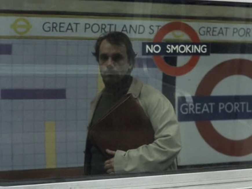 The experts at Reelstreets point out that 'Great Portland Street is on a "sub-surface" line, and this is a "tube" station'. 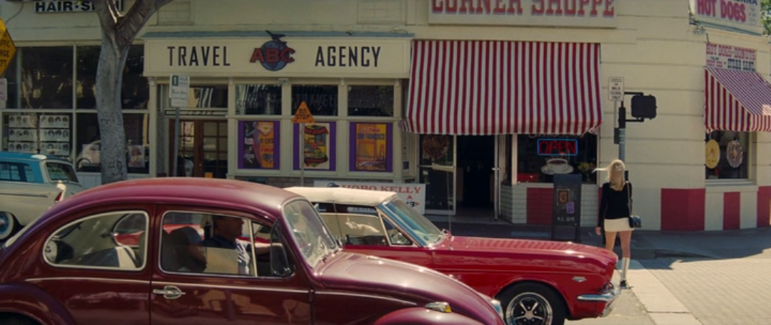 I think that globe behind the ABC of the travel agency is the only map in this film.
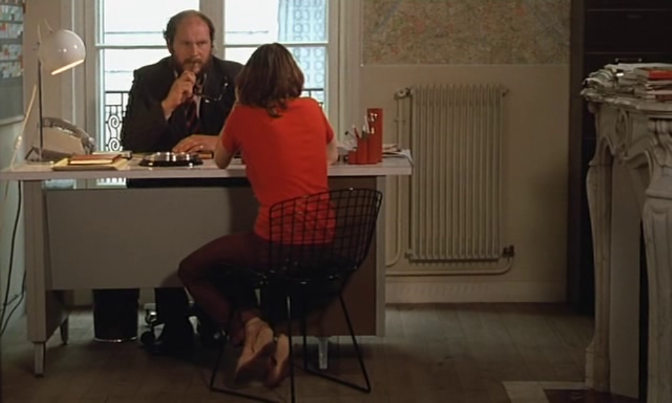
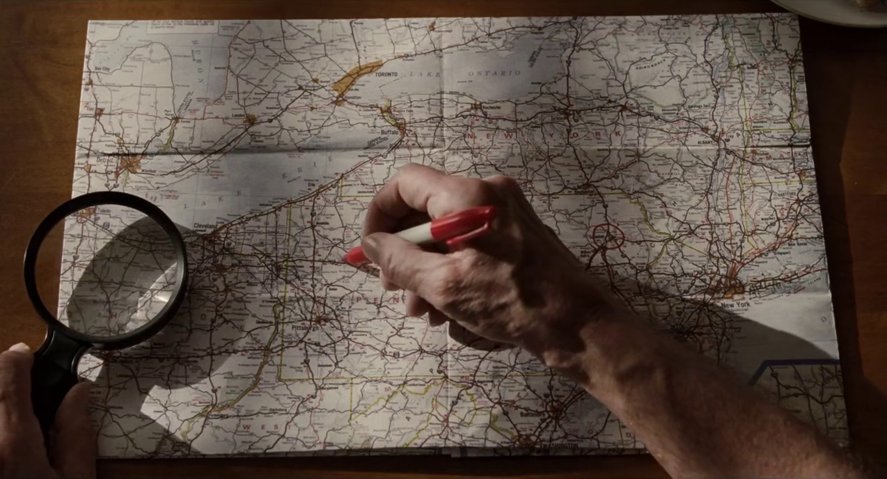 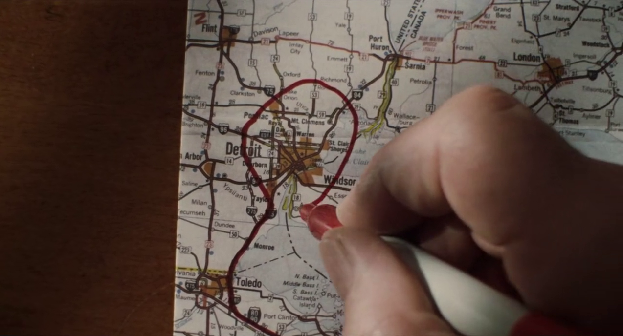 The two moments when a map is scrutinised and marked are some distance apart in the film but presented in curious symmetry: general-shot-then-close-up (above), close-up-then-general-shot (below): 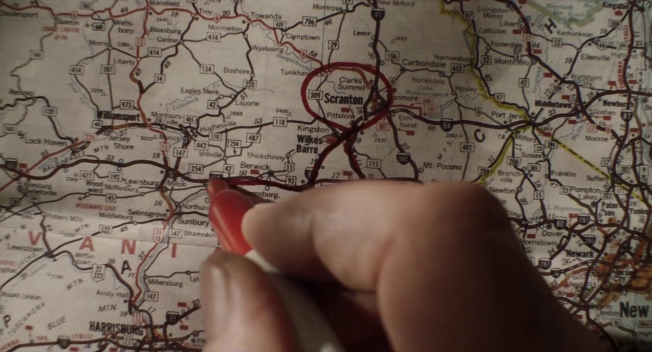 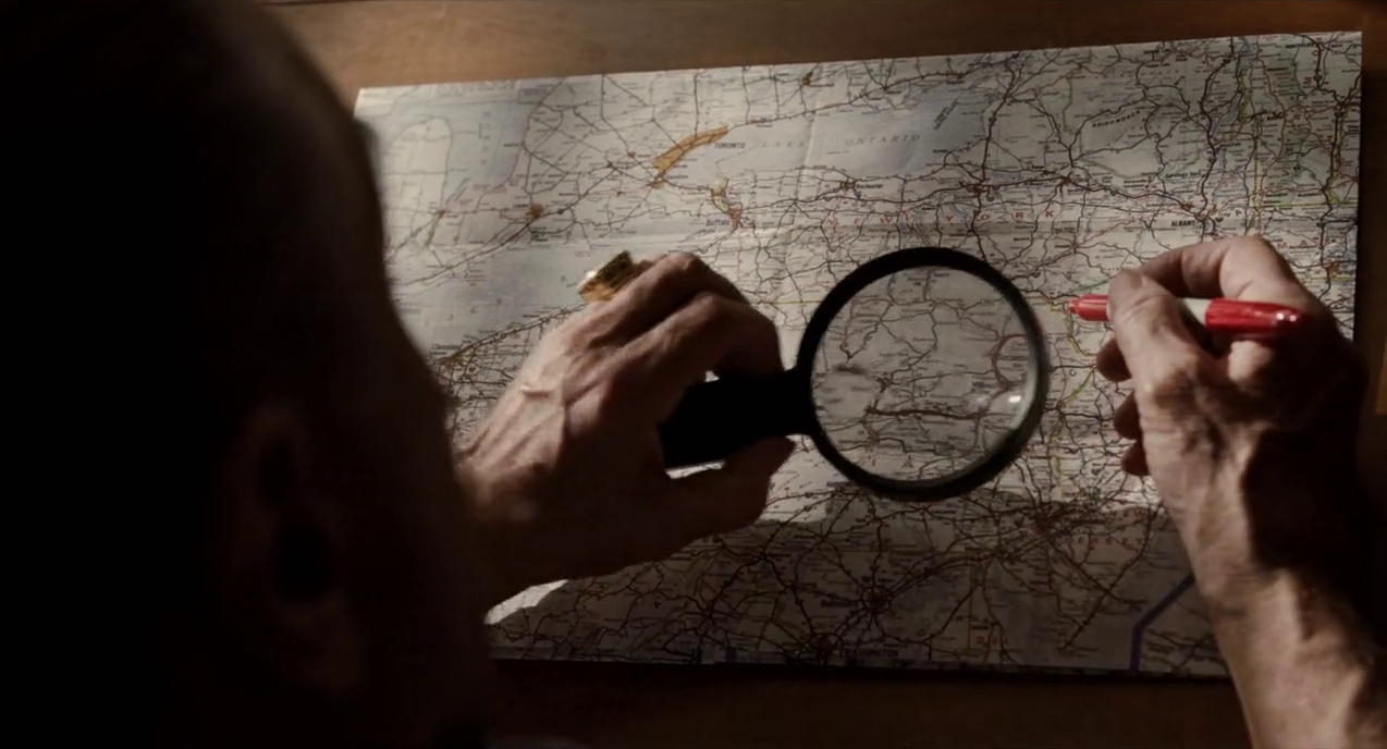 There is a glimpse of a similar road map in a glove compartment: 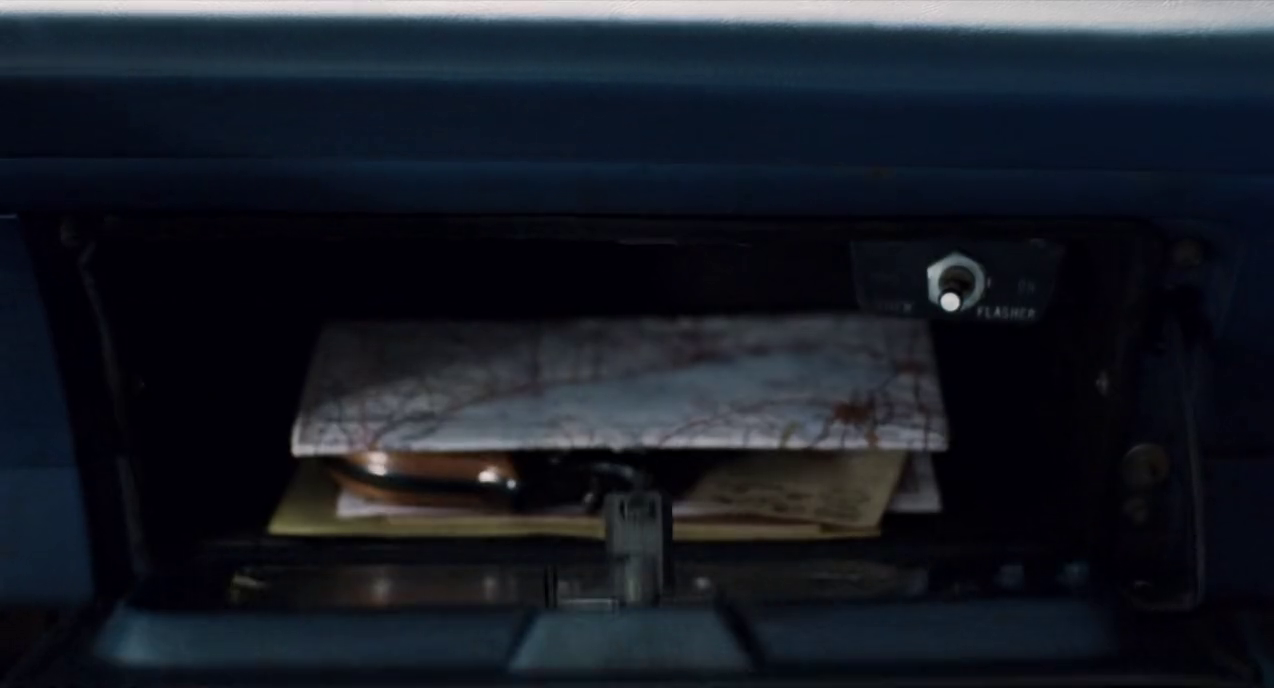 The only other map shown in close-up is the outline of the United States on the crest of the Italian American Civil Rights League: 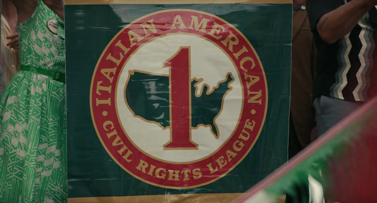 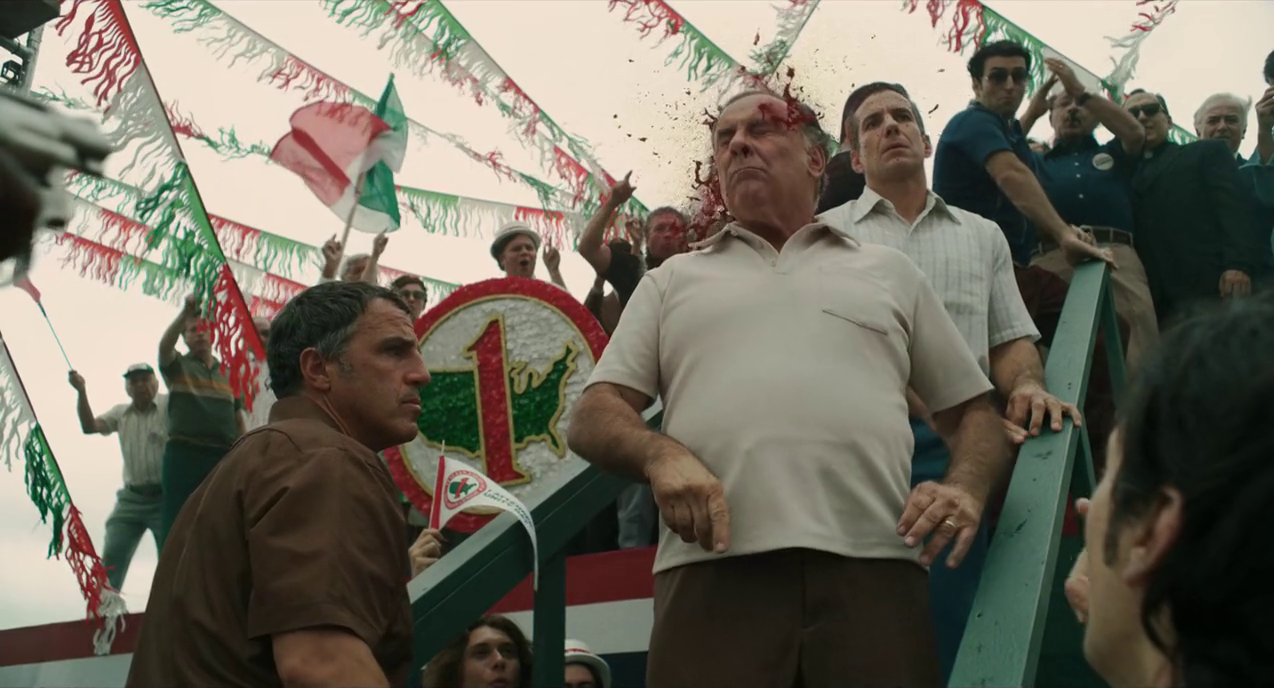  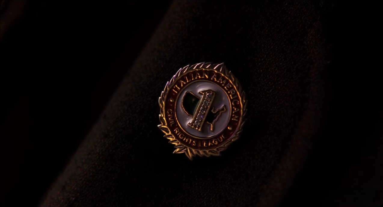 The three other maps are elements of décor:    And there is this very nice map-like model: 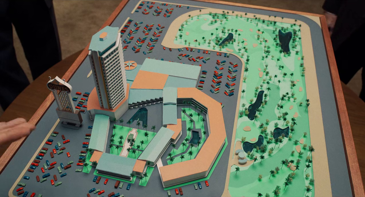 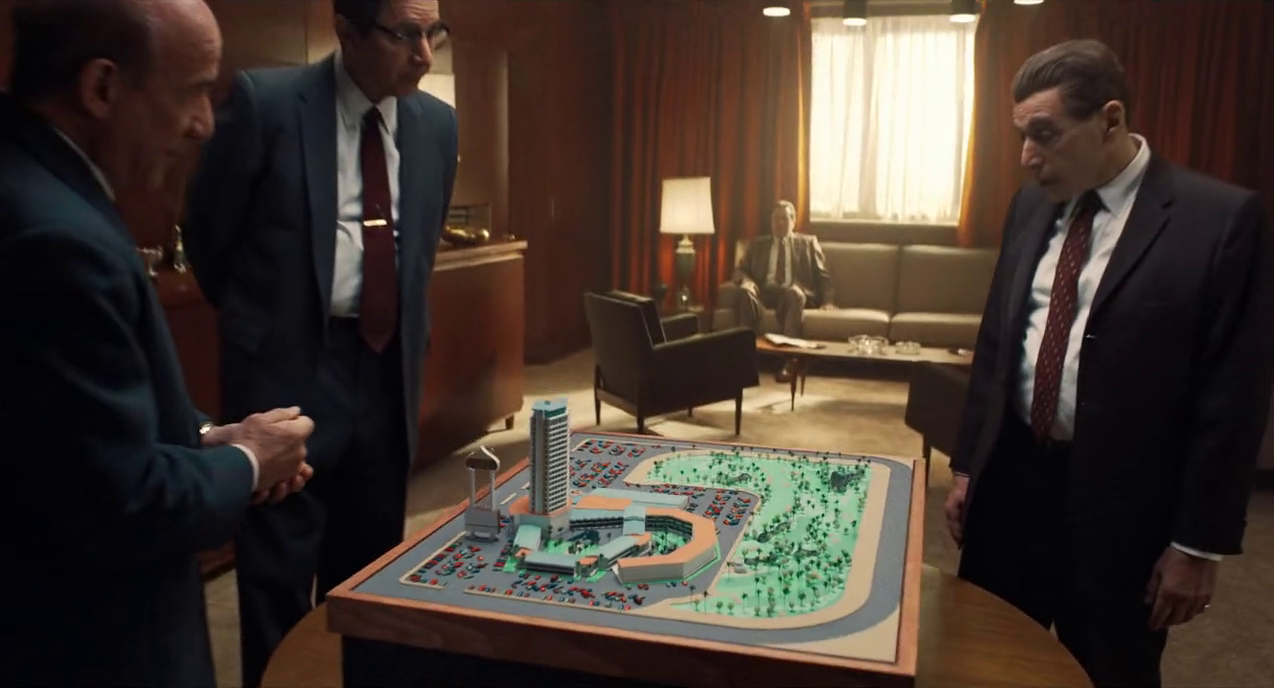 |