
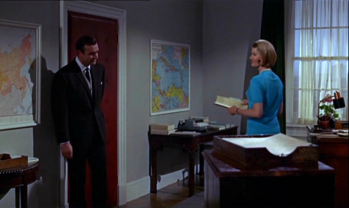
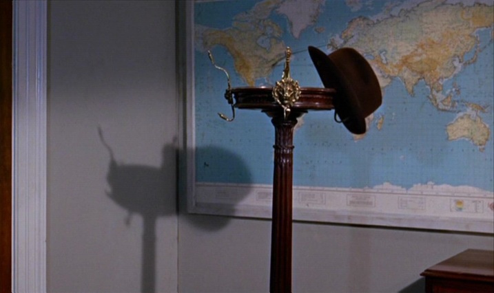
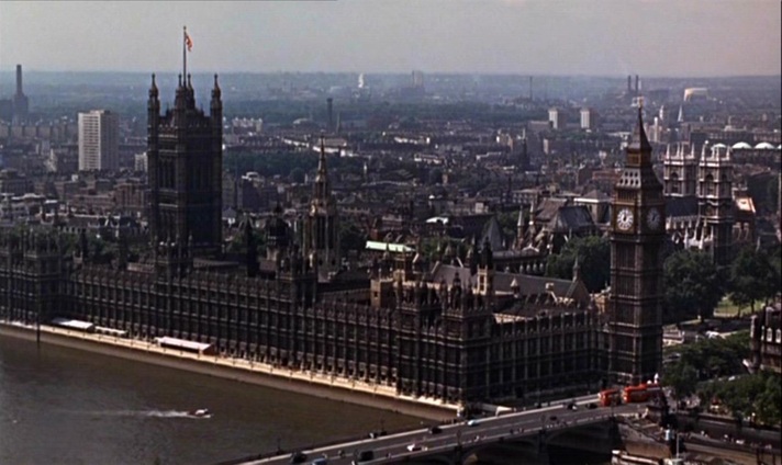
M’s outer office has the familiar wall maps that establish the global scale of MI6’s operations (see here for the first instance of this in the Bond canon):
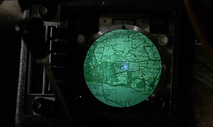
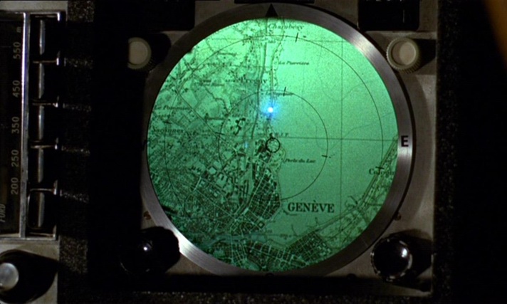
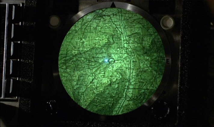
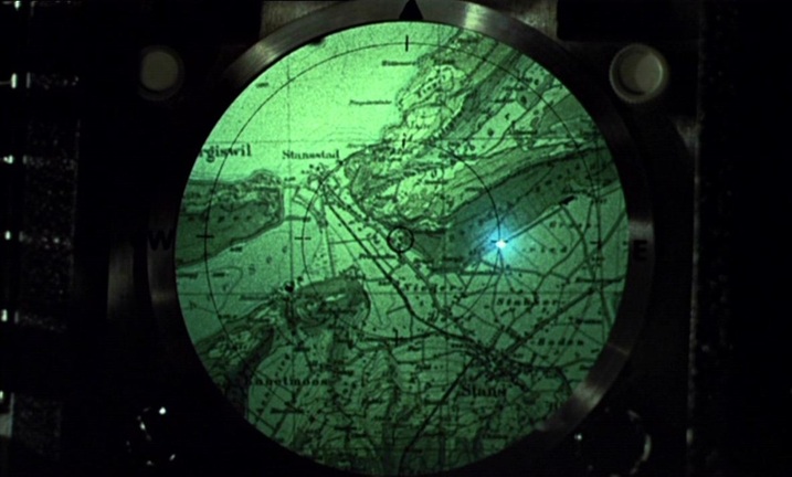
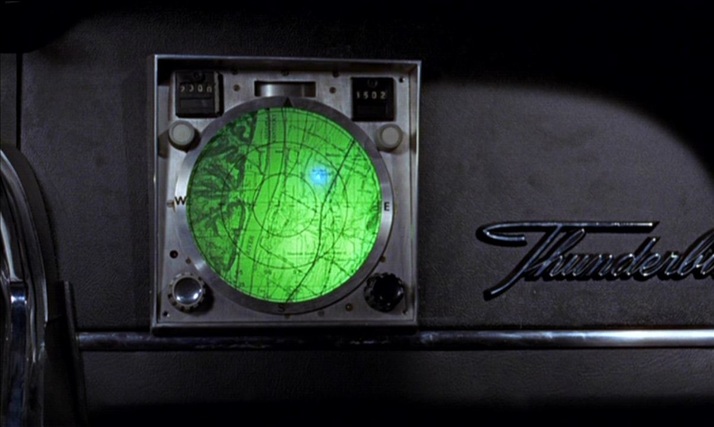
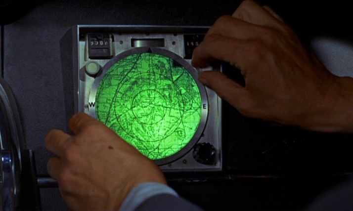
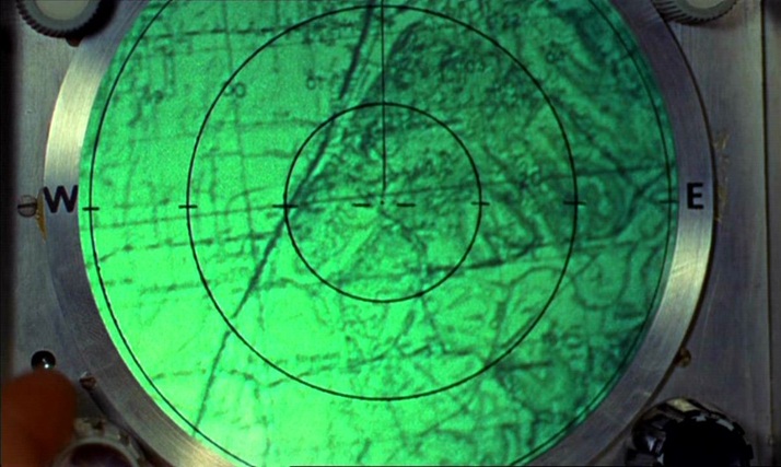
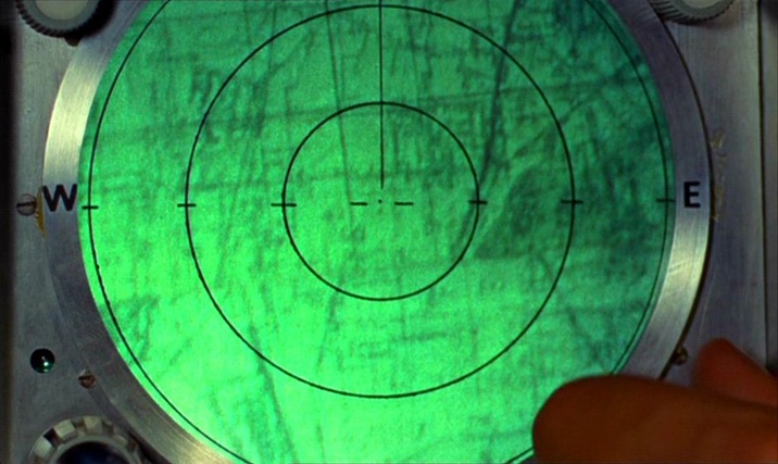
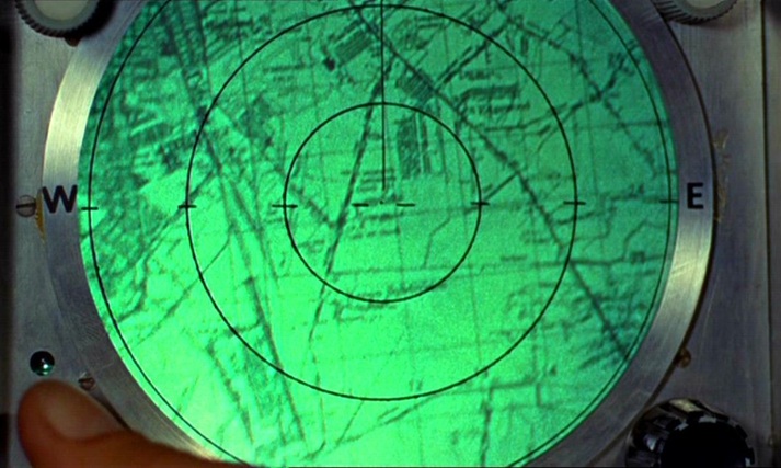
Bond’s in-car tracking device takes us from Stoke Park in Buckinghamshire to Southend Airport in Essex, then to Geneva. From there we go north (I can’t quite make out where), then on to Goldfinger’s factory between Stans and Stansstad, just south of Lucerne:
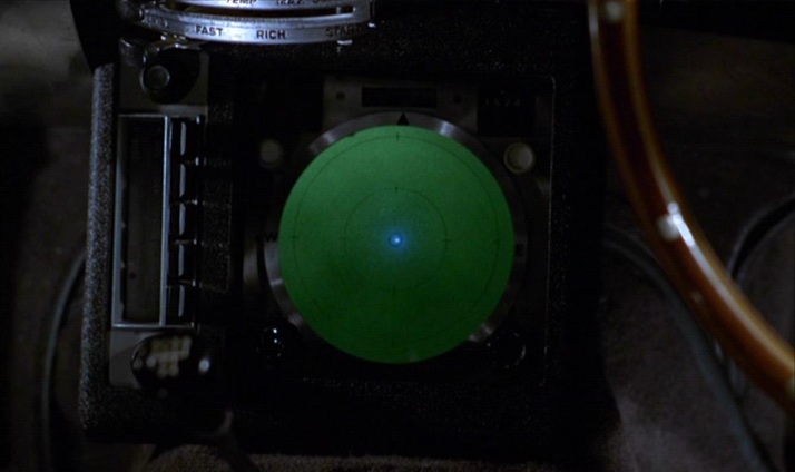
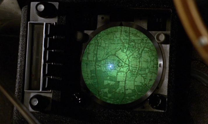
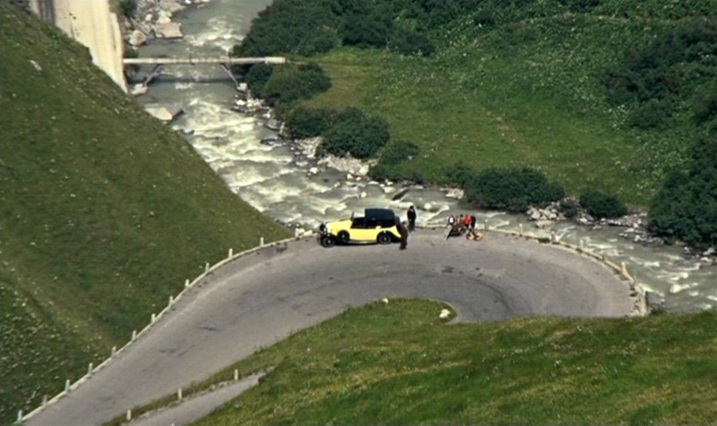
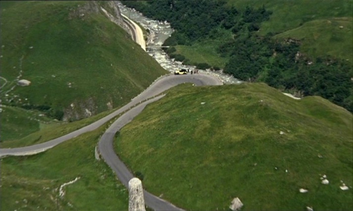
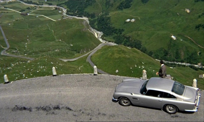
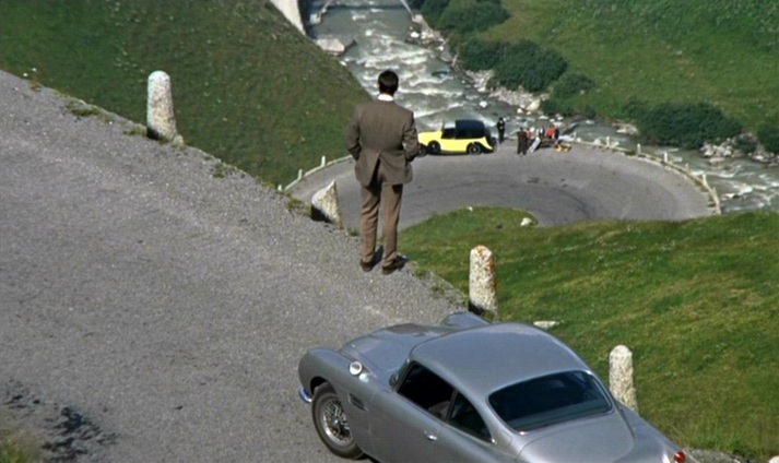
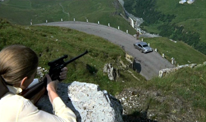
When the film cuts from the device to the terrain it represents, an irony is apparent in the contrast of horizontal (the map) and vertical (the mountains). Plotted against each other, you get the diagonal lines of one of cinema’s more famous mountain sequences:
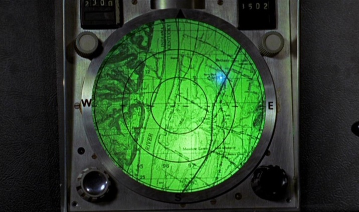
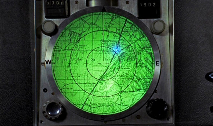
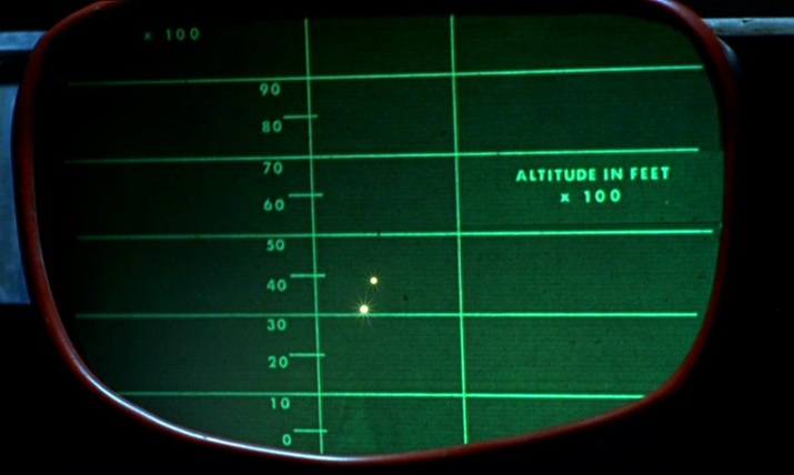
A similar tracking device later shows us the vicinity of Goldfinger’s lair near Fort Knox (Kentucky), but the efforts of the US agents to follow the plot on it are thwarted by Oddjob, and the device breaks down when the car it is tracking is crushed.
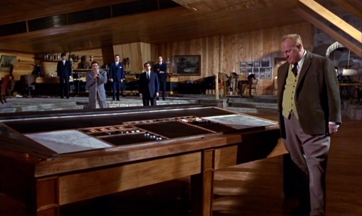
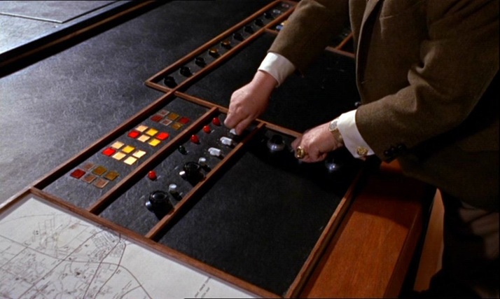
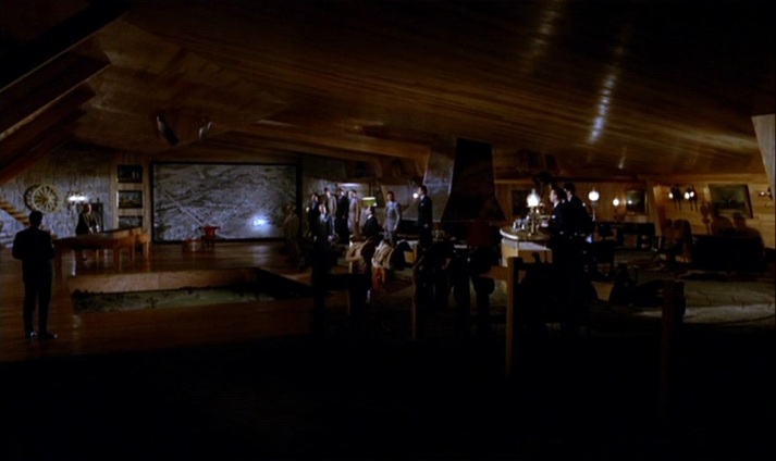
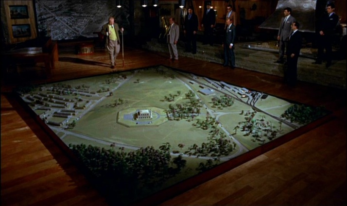
Unlike the lairs of so many other such villains, Goldfinger’s does not have large wall maps as décor. He has two smaller, horizontally placed maps at his desk but, as expressions of his power over the world through representation, his preferred alternatives to mapping are the aerial photograph and the scale model:
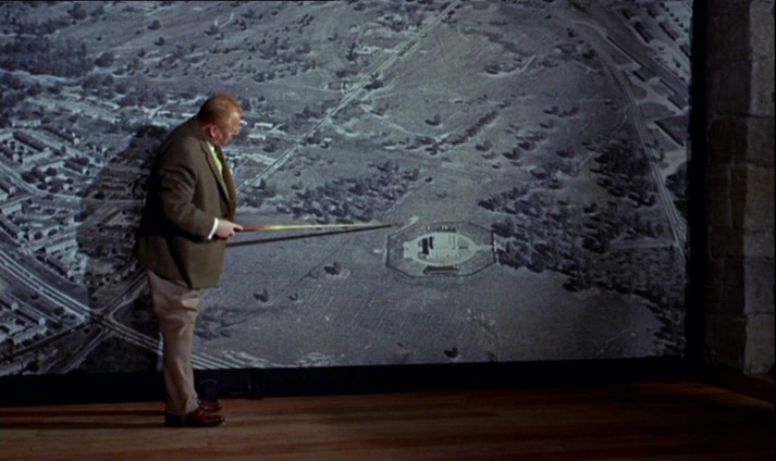
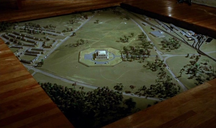
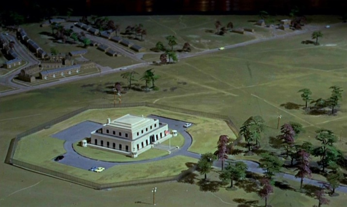
(Goldfinger is at one here with the film’s liking for aerial views.)
The film’s cartographic configurations conclude with the tracing of a vertical trajectory, as Bond and Pussy Galore parachute from a plane:
For further comment on the spatial machinery of this film, see: (e)space & fiction