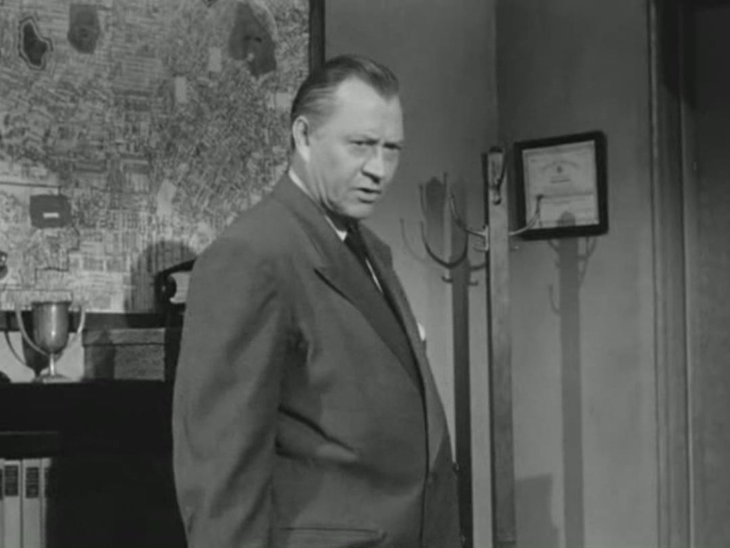
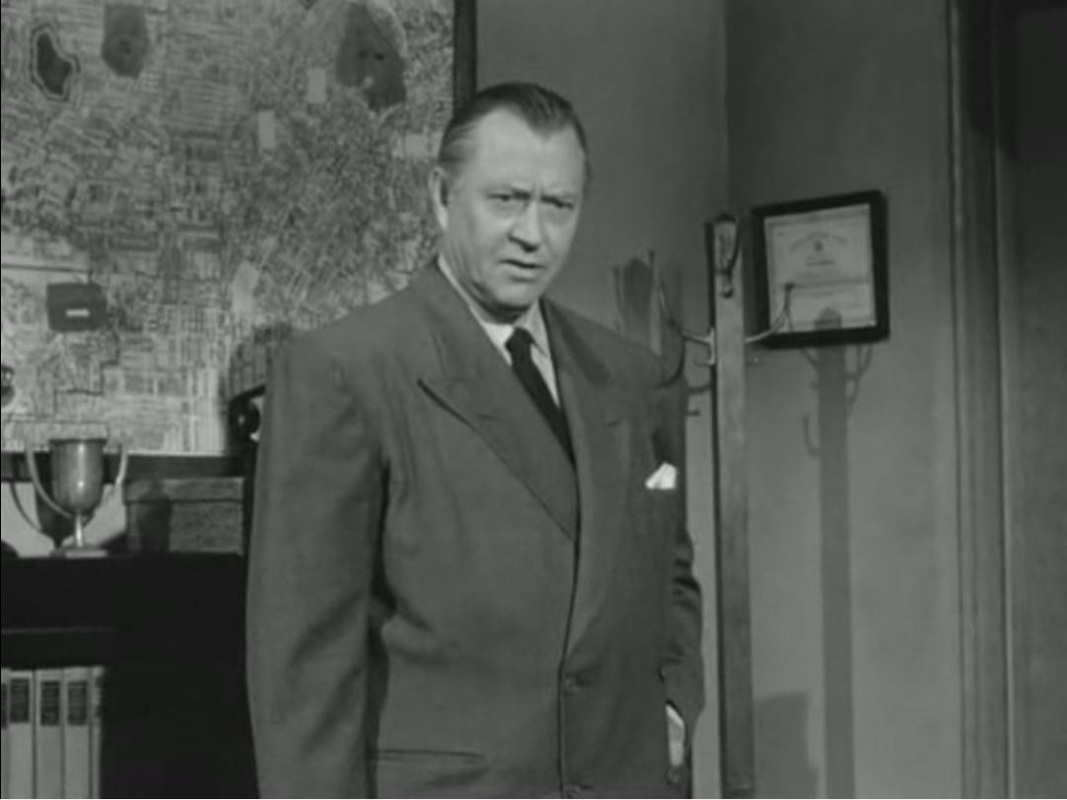
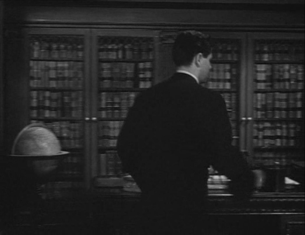
Over two scenes in the detective's office the map of Los Angeles becomes more prominent, eventually becoming legible when used as background to the Captain's pointed enquiries as to whether Laurel Gray will be marrying Dixon Steele:

|
Over two scenes in the detective's office the map of Los Angeles becomes more prominent, eventually becoming legible when used as background to the Captain's pointed enquiries as to whether Laurel Gray will be marrying Dixon Steele:
0 Comments
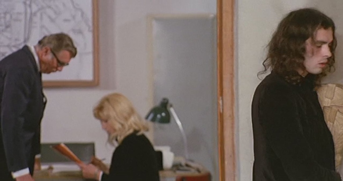
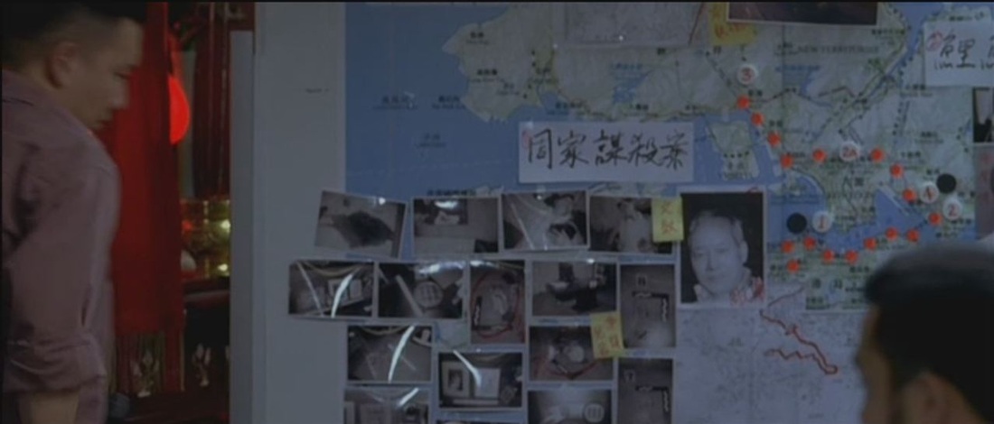
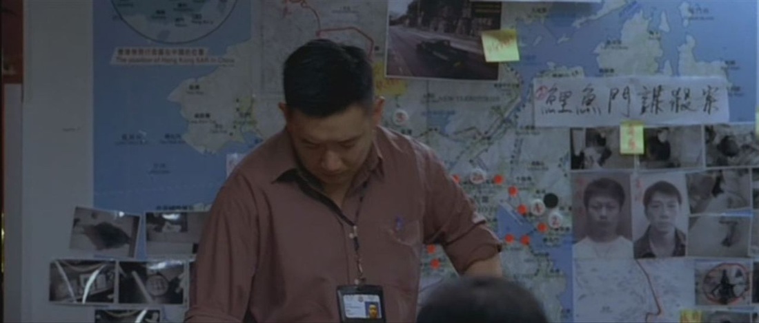
Jancsó's theatrical allegory is acted out in identifiable spaces in and around Milan. I'm assuming the map in the background of this scene, the identification of a criminal, is of Milan (if anyone can confirm, email here please).
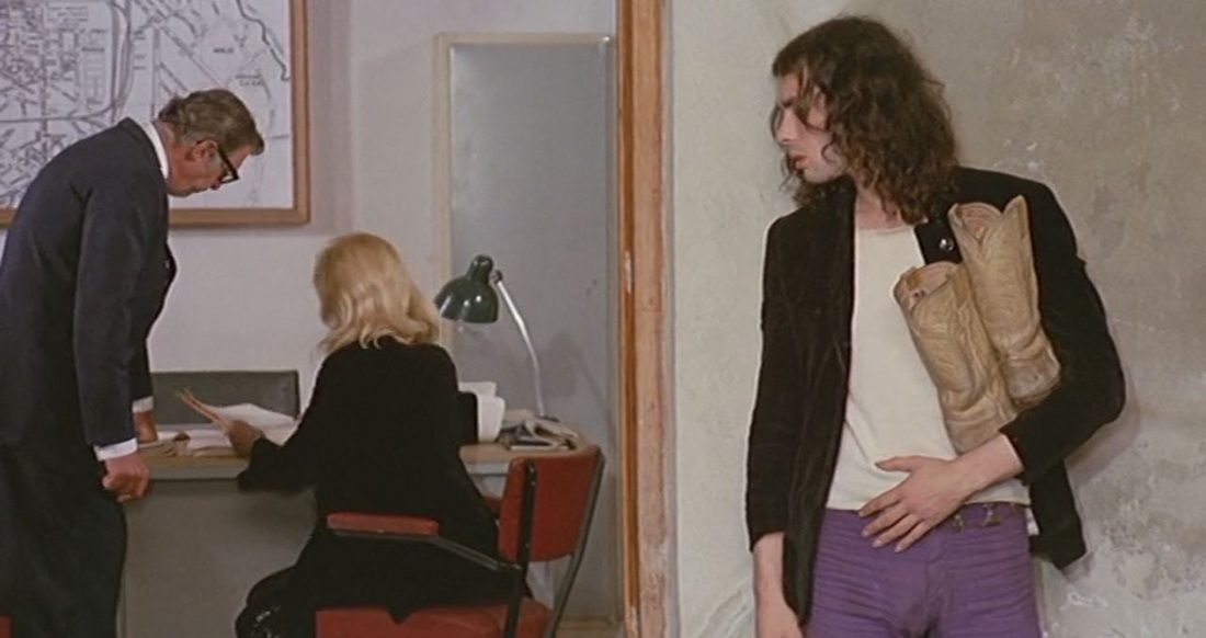
The maps are all just inconsequential things in the background, but I really like the first of these three moments. Happy New Year to all.
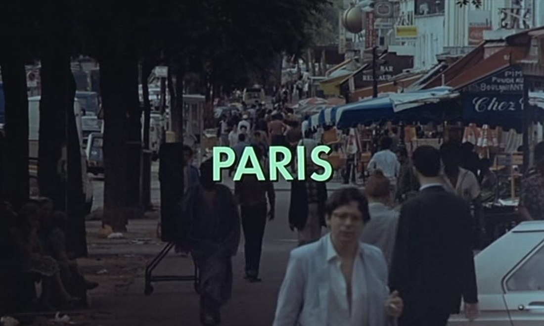 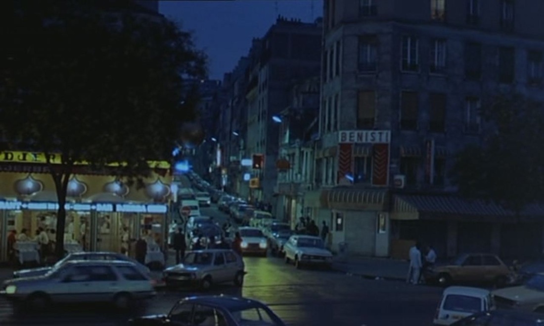 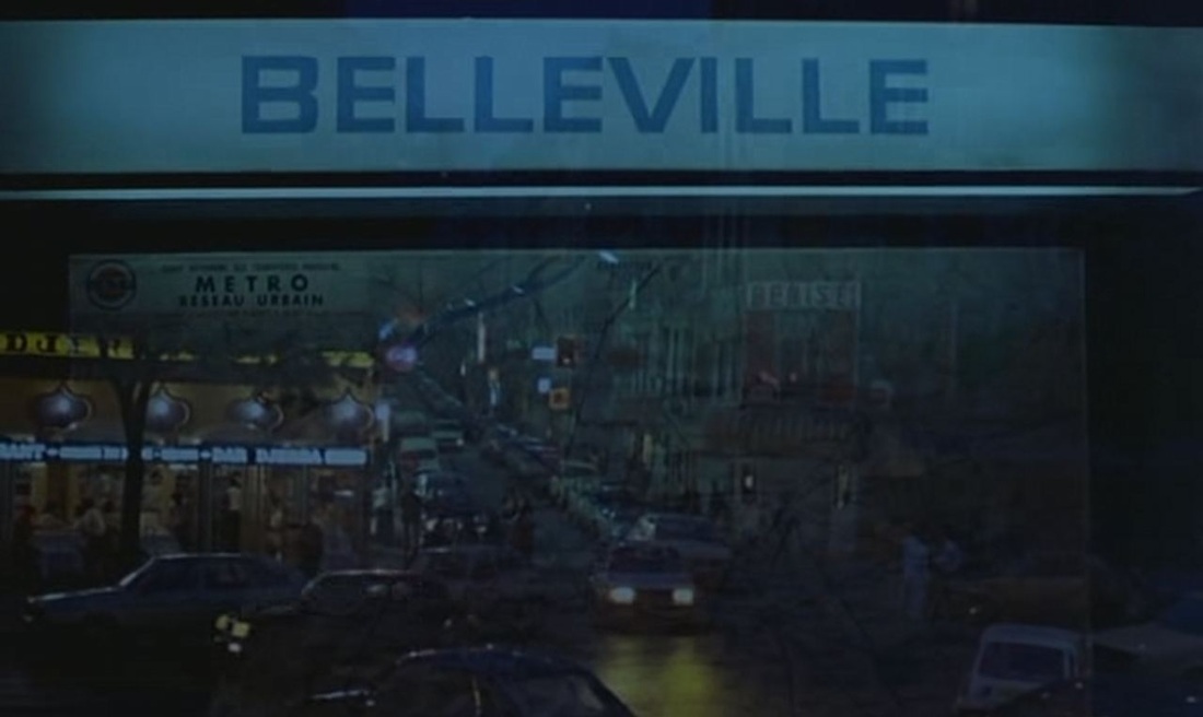 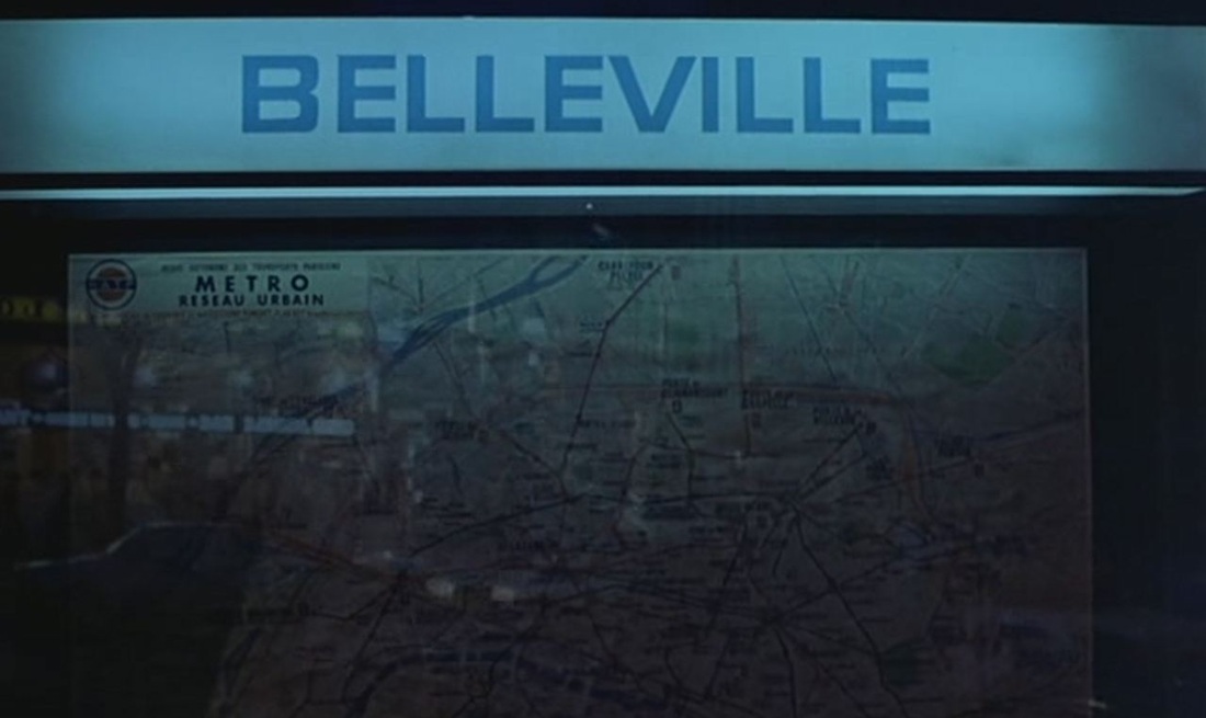 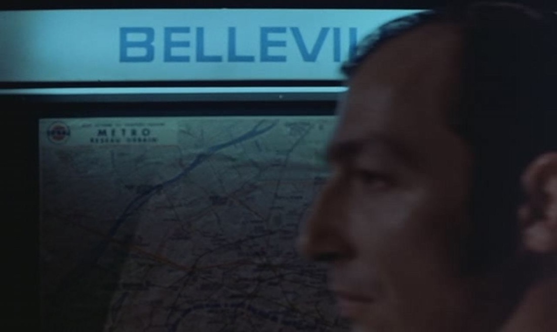 This pre-credit sequence shifts to street signage to identify more precisely the district of Paris around which the film is centred. The dissolve from street view to map signals that a sense of topography may be useful in reading the film, or at least suggests two that there are levels of reading. The human figure who passes in front of the map, and who will be followed by the film until he is shot dead, introduces another level of reading (for the story). This opening is matched towards the end of the film when the gangland boss who had ordered the killing of the man above is himself on the run, first in the métro and that at the surface, emerging in the same place as his victim, earlier: 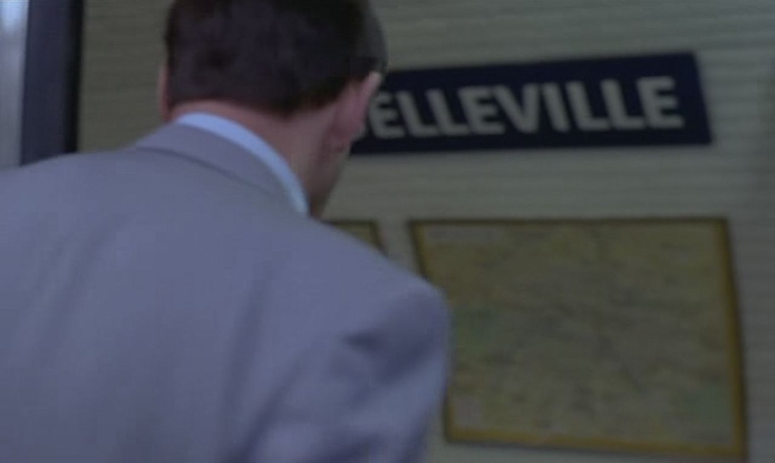 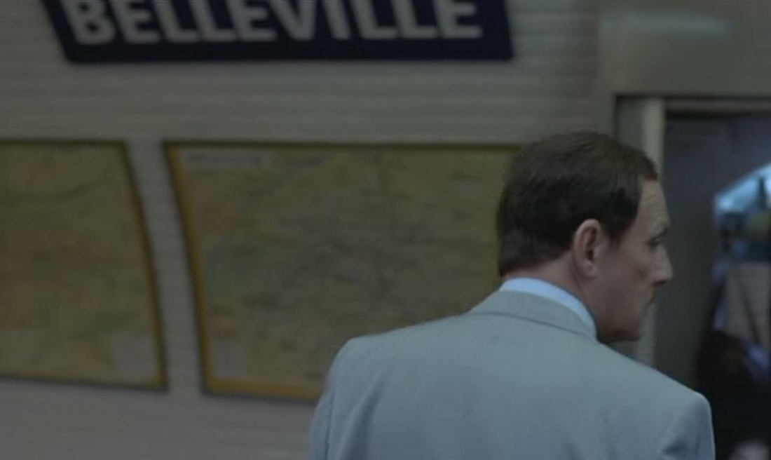 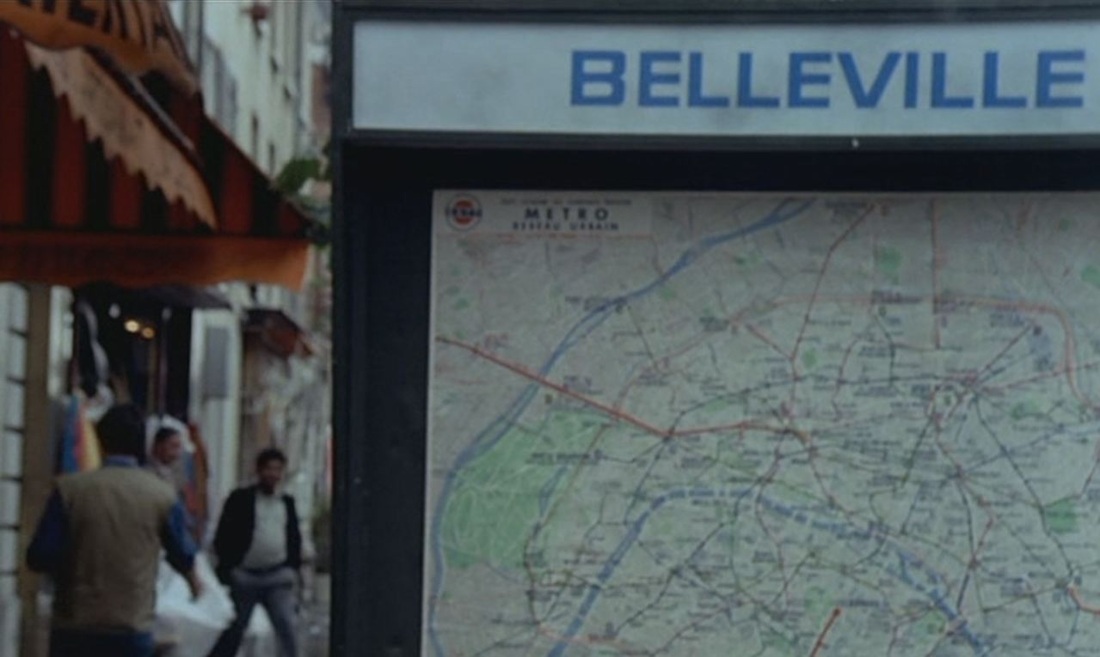 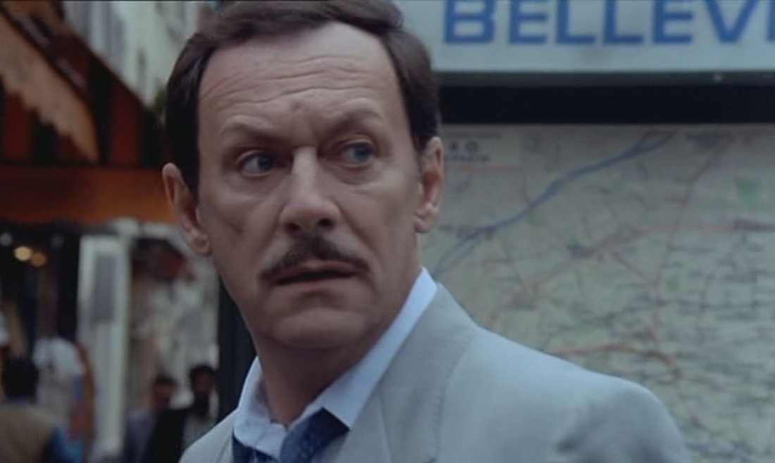 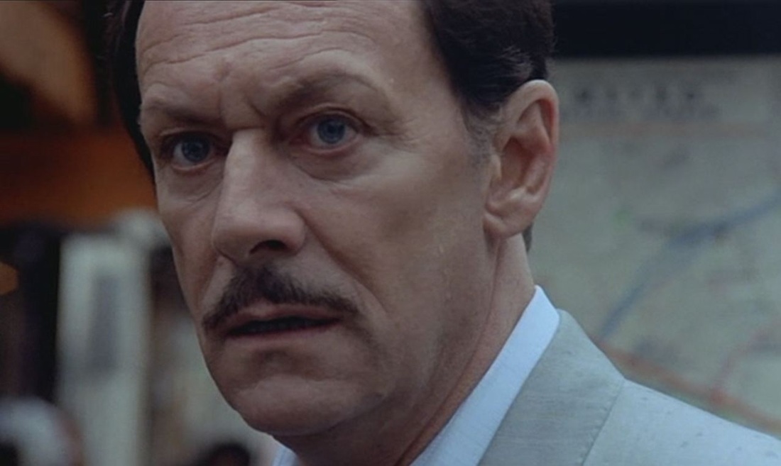 Between these sights of modern métro station signage we glimpse a vestige from an older world, in a more salubrious district: 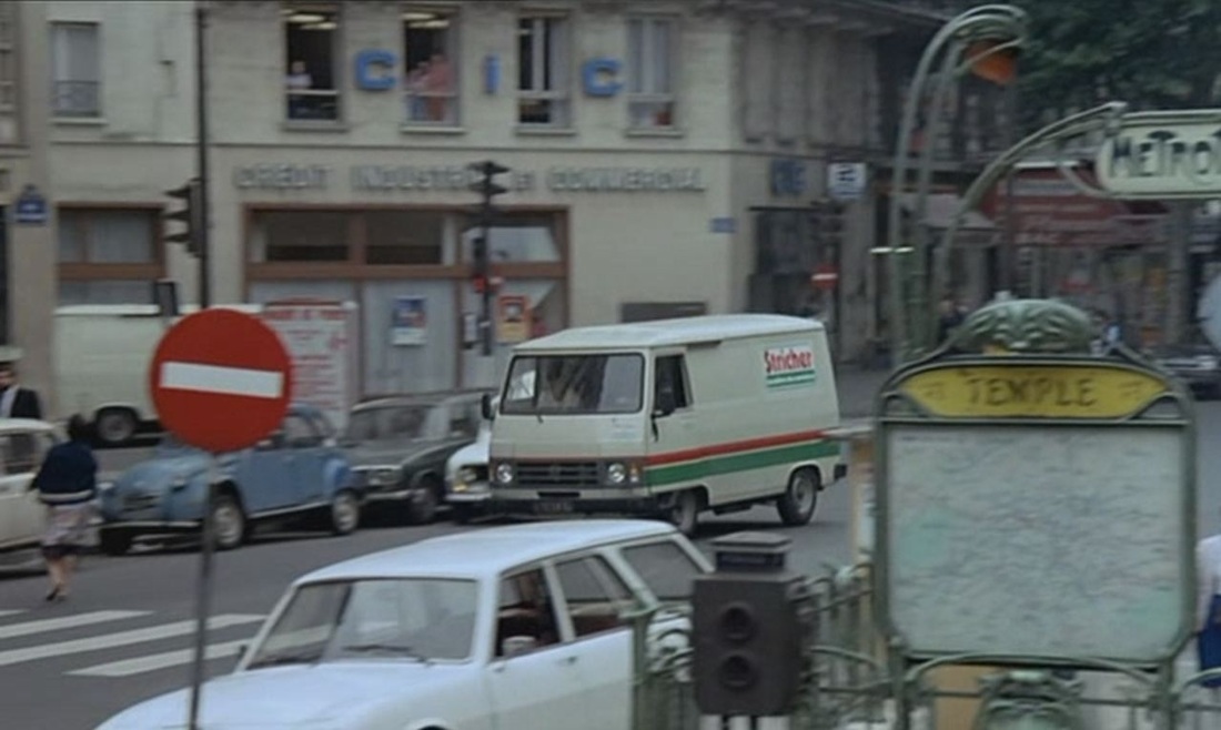 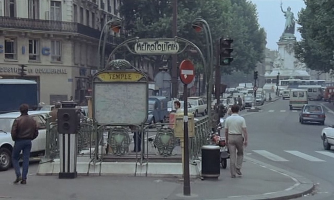 (For other maps at métro entrances, see here.) The other map in the film is where we would expect to find it, at the police station, but it takes some time to appear. We see much of the detail of what the police inspectors have put up on the walls of their office (posters for Star Wars and The Enforcer, photos of the Rolling Stones and ads for a rock radio station, objects associated with the Corsican football team Bastia, a pair of underpants framed with a medal...), none of which is connected to the practicalities of their work, as a map might be: 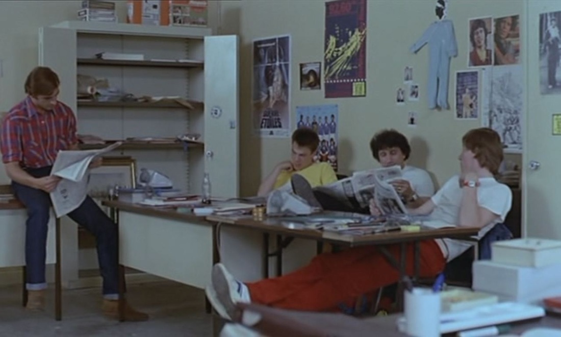 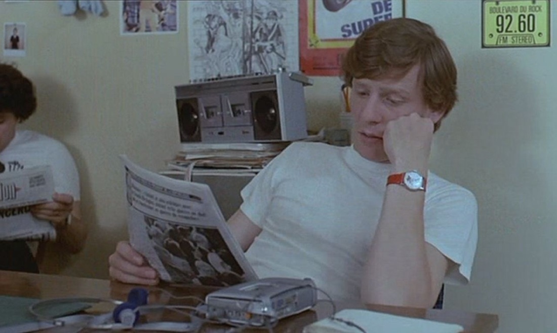 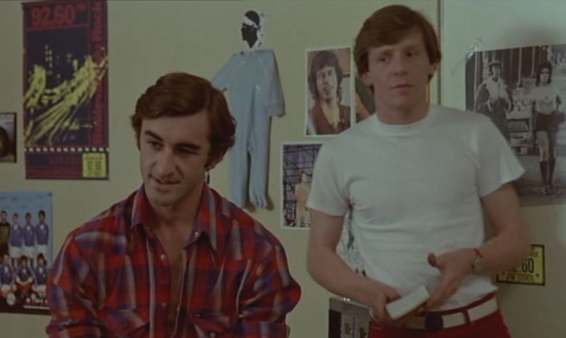 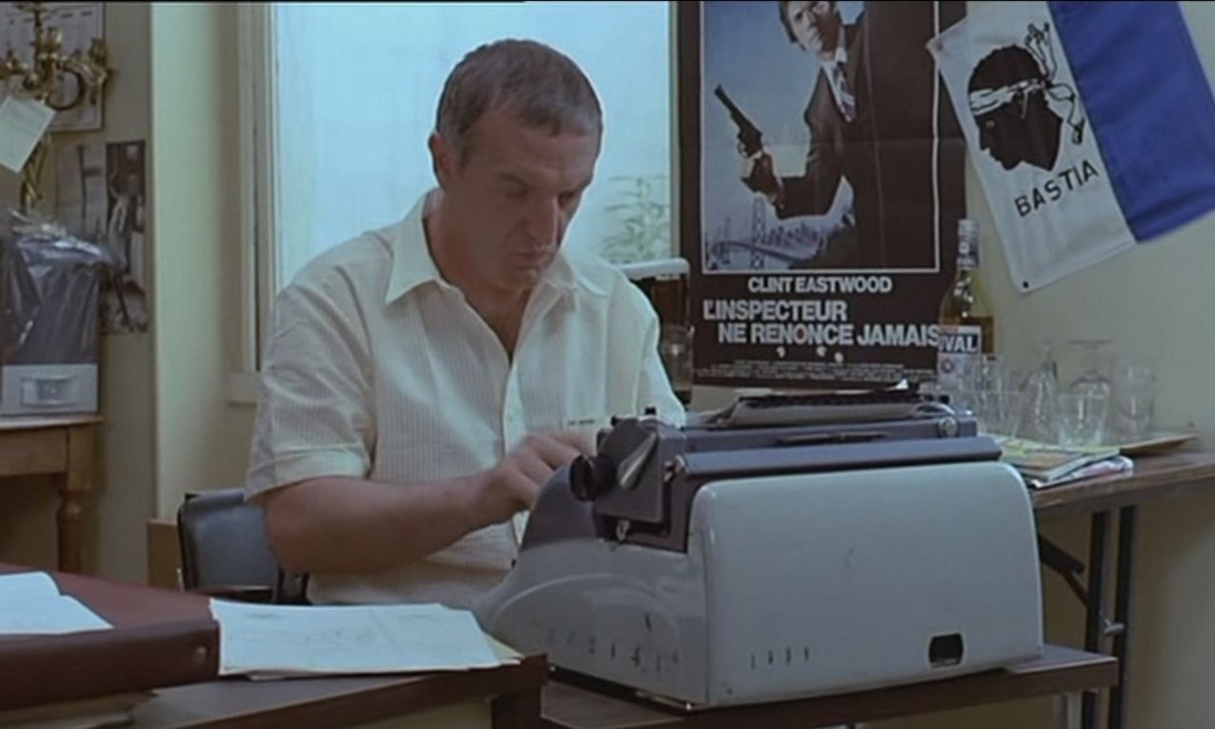 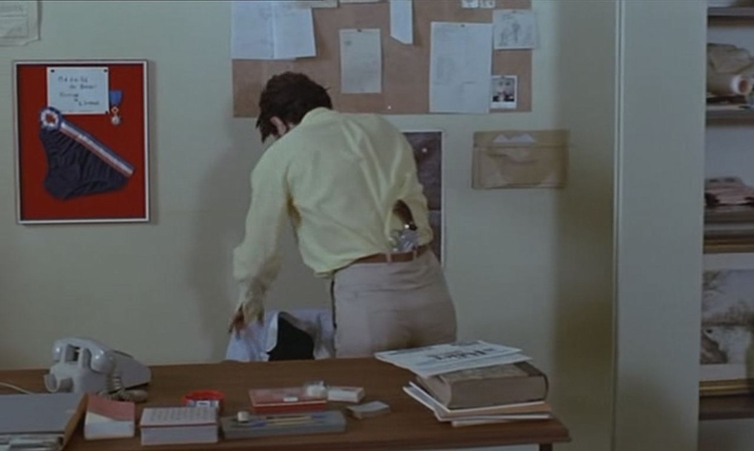 Eventually we see a map of Paris in a corner of the room, as background to the interrogation of suspects:       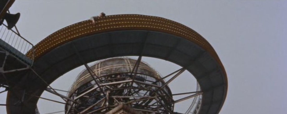 A plot premise of House of Bamboo is the cooperation of Tokyo police and U.S. military in the investigation of a crime. The offices of each set of investigators are returned to regularly in the film, and each space has its own maps of the Tokyo area: 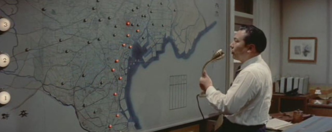 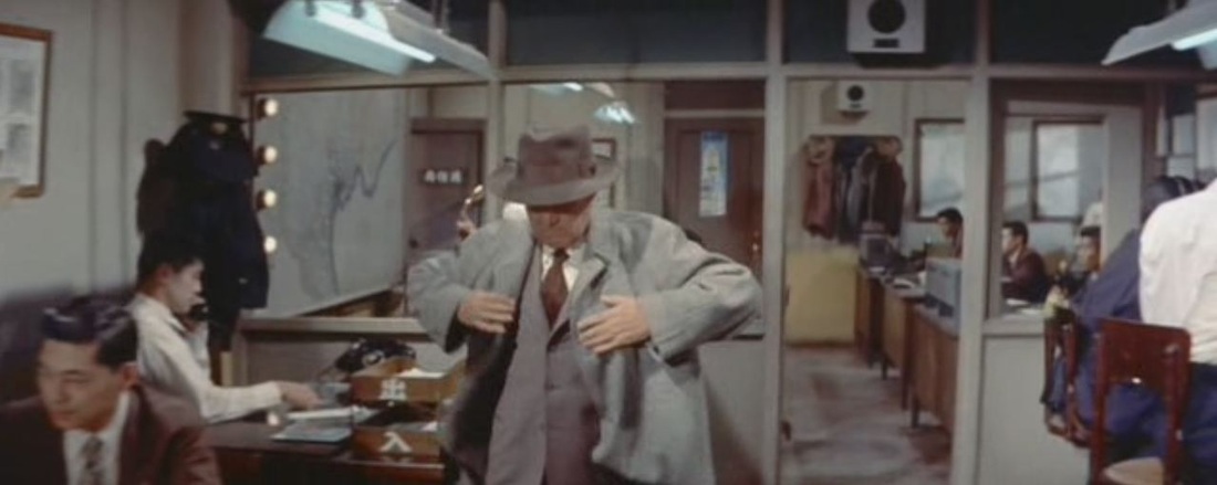 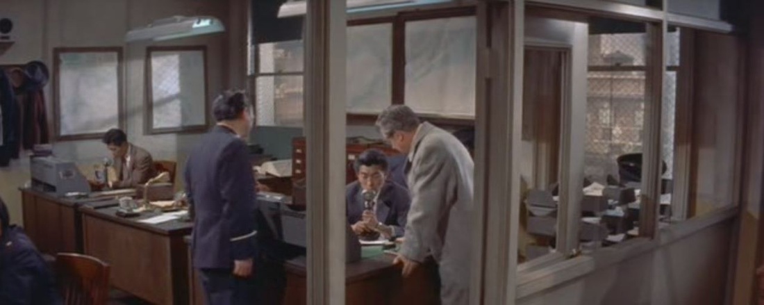 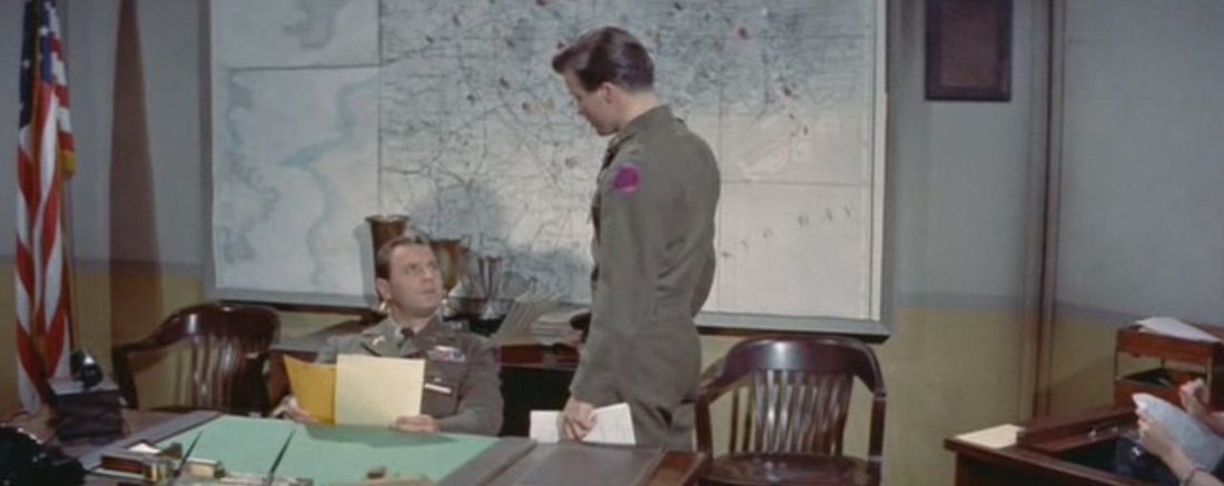 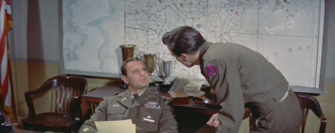 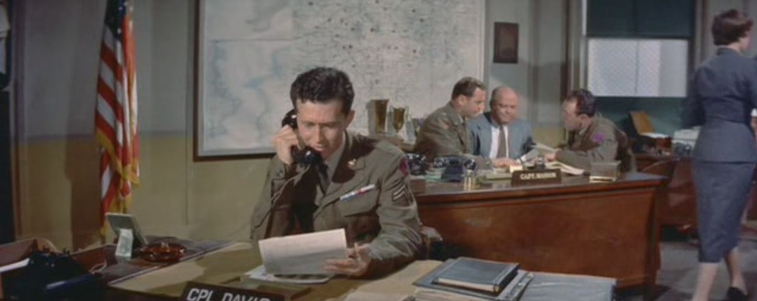 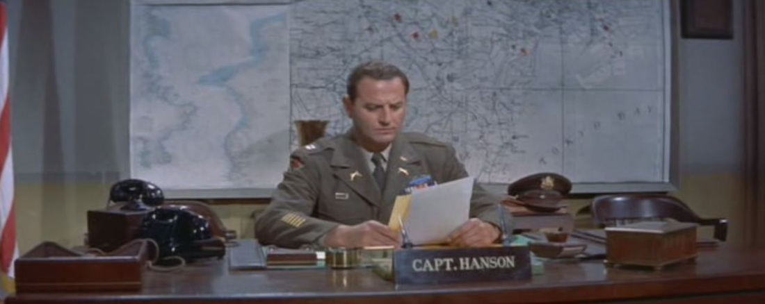 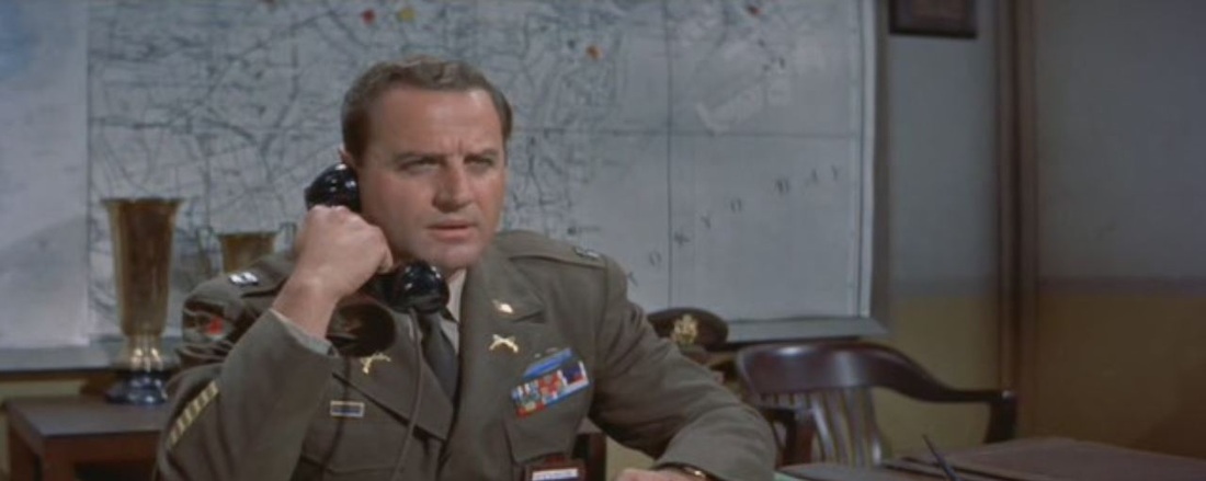 Parallels are drawn with the criminals responsible, who are shown planning a robbery with military meticulousness and maps (the gang is made up of former U.S. servicemen): 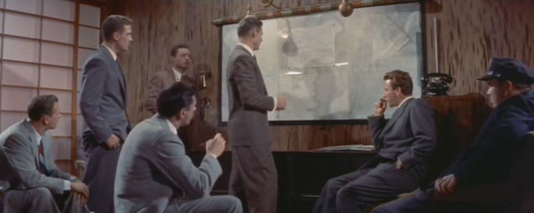 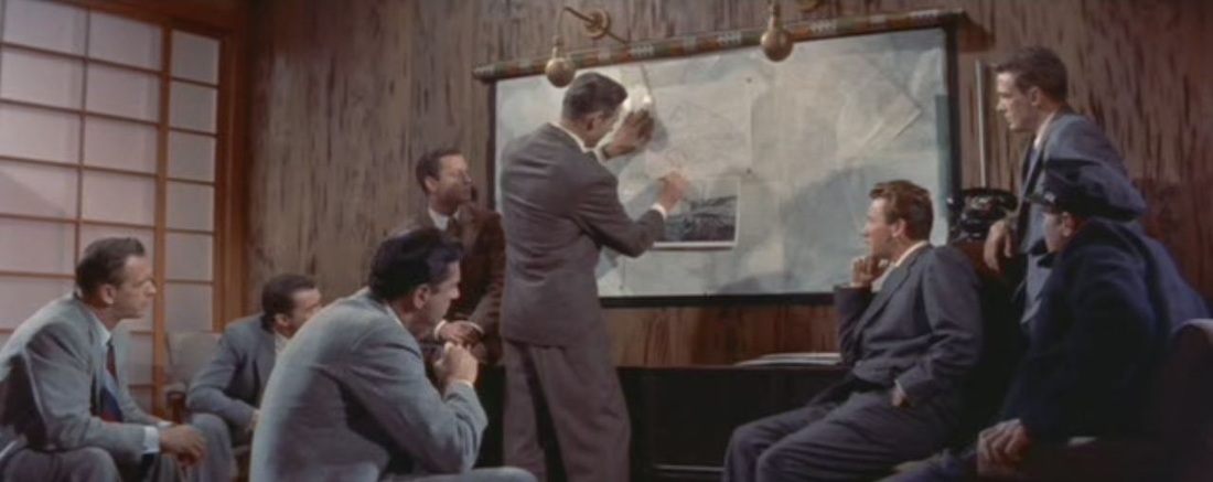 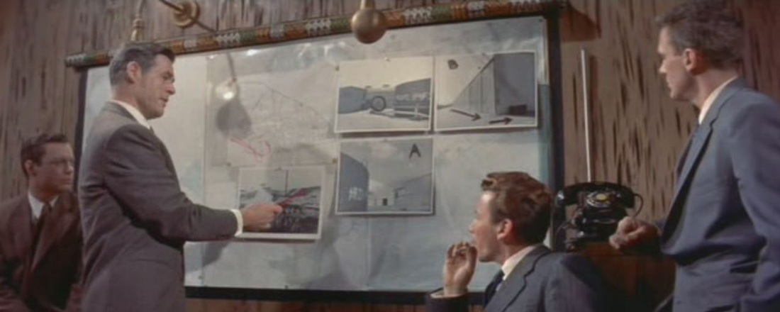 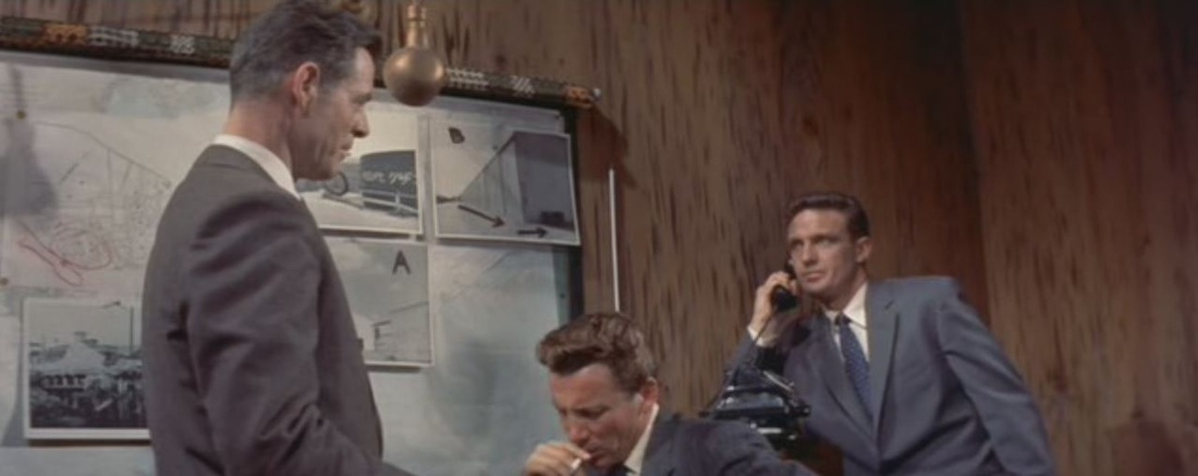 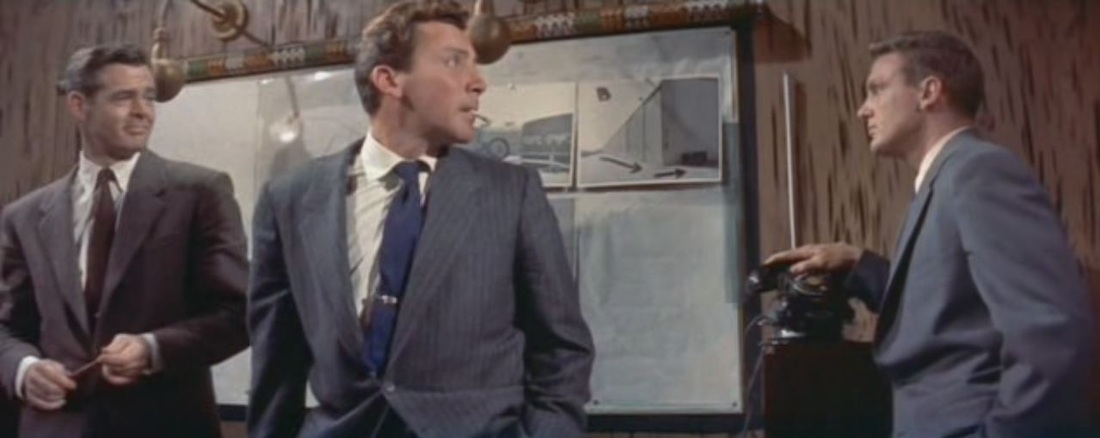 Later, the same criminals are ahown planning a further robbery in the Ginza district by means of this improvised map:   This plan is transcribed by an undercover police agent, and his hand-drawn map is passed to the U.S. military investigators: 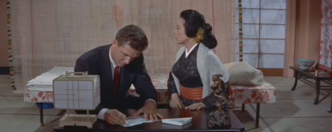 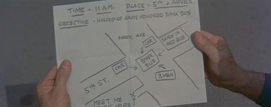 The film's famous climax at a rooftop amusement park overlooking Tokyo features a turning globe as attraction, combining overt cartographic symbolism with intertextual echoes of The Third Man and White Heat ('Top of of the world, Ma'): 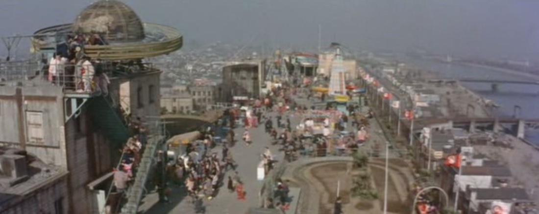 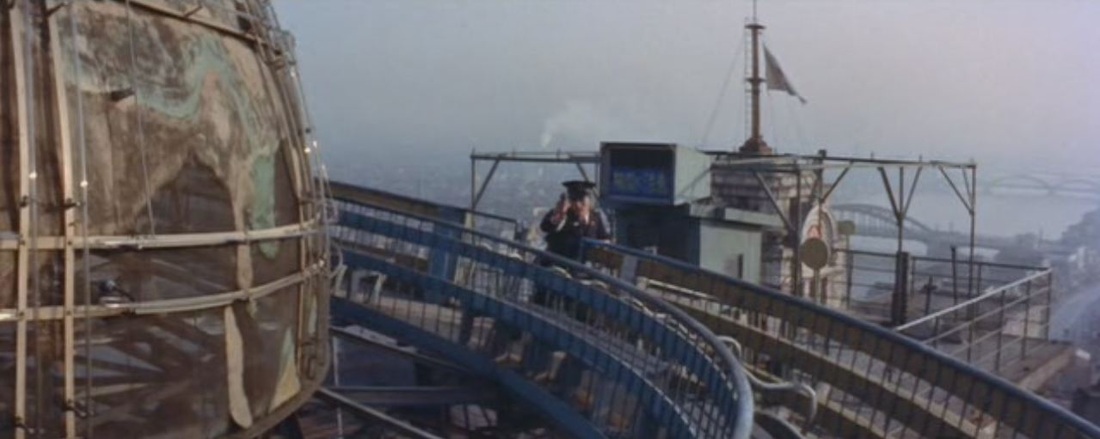 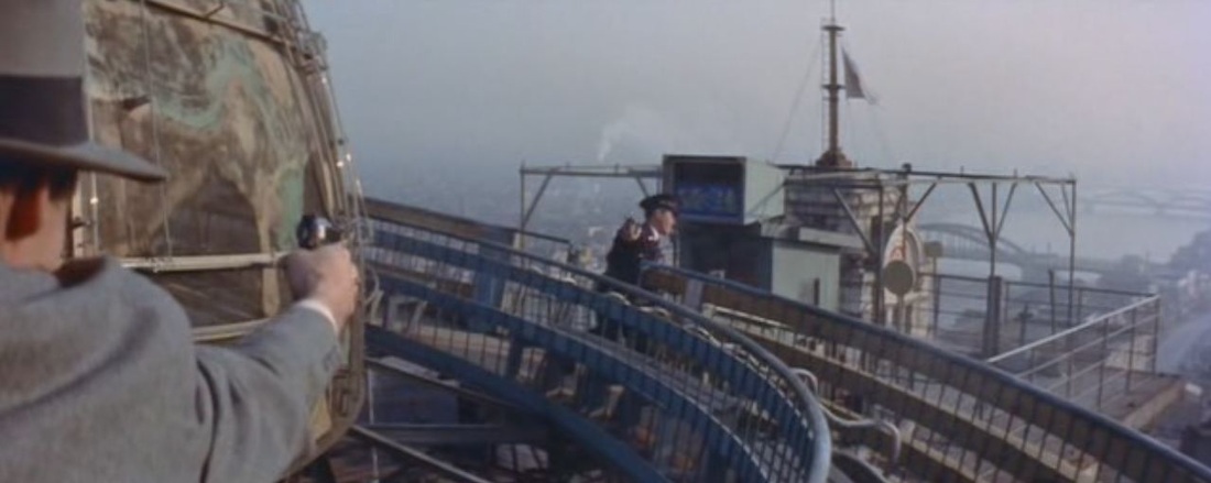 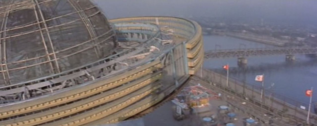 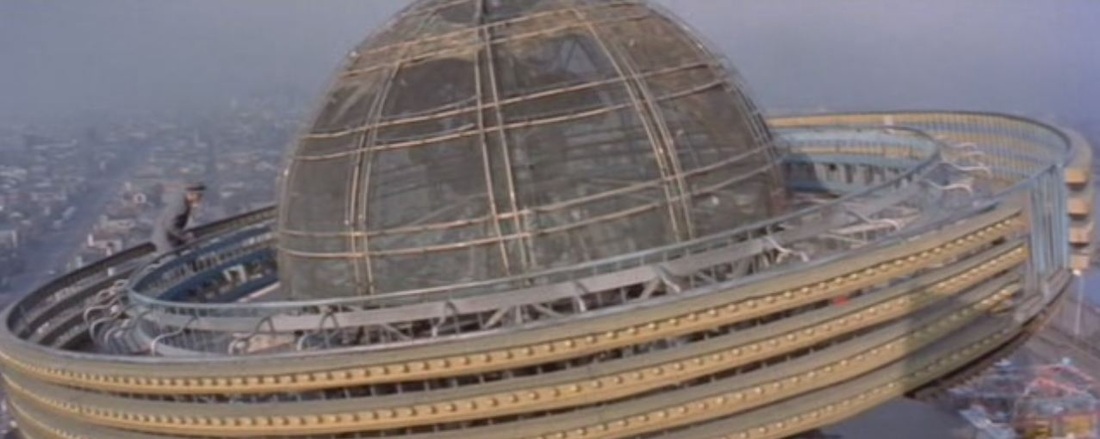 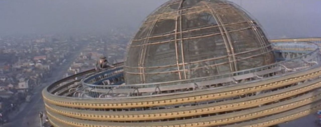 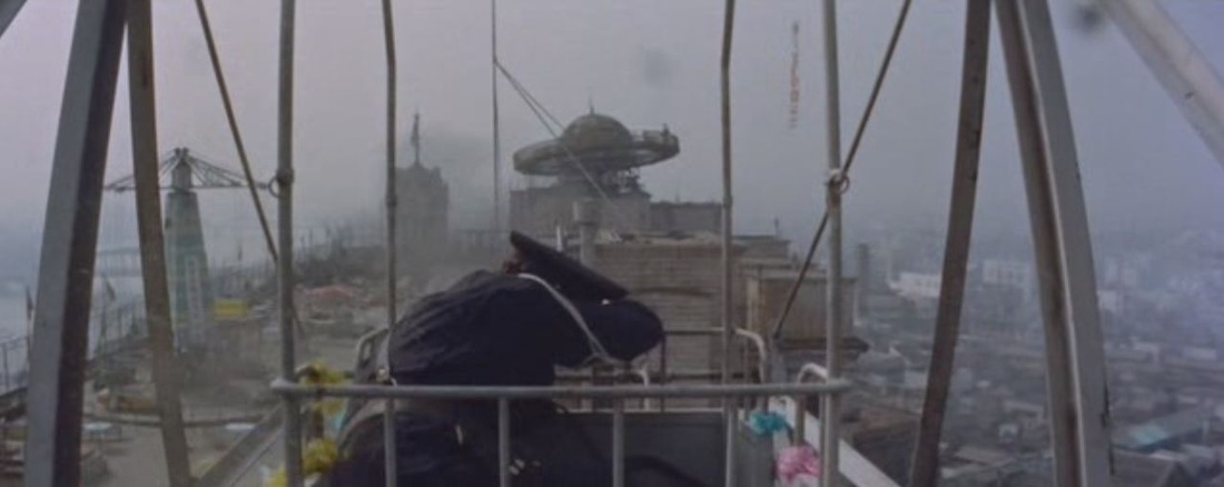 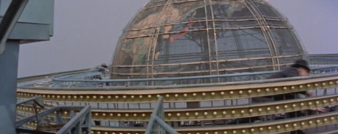 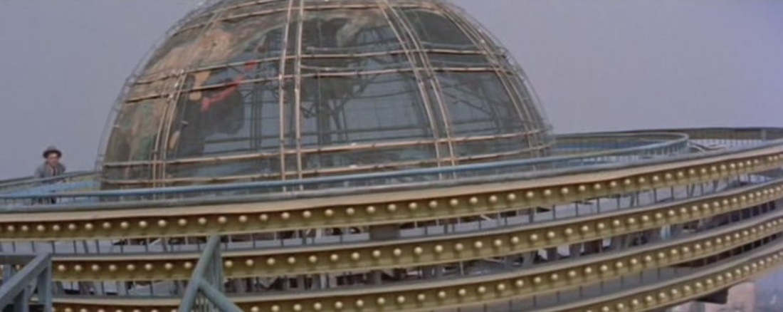 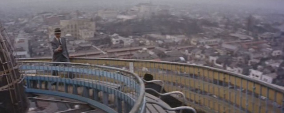 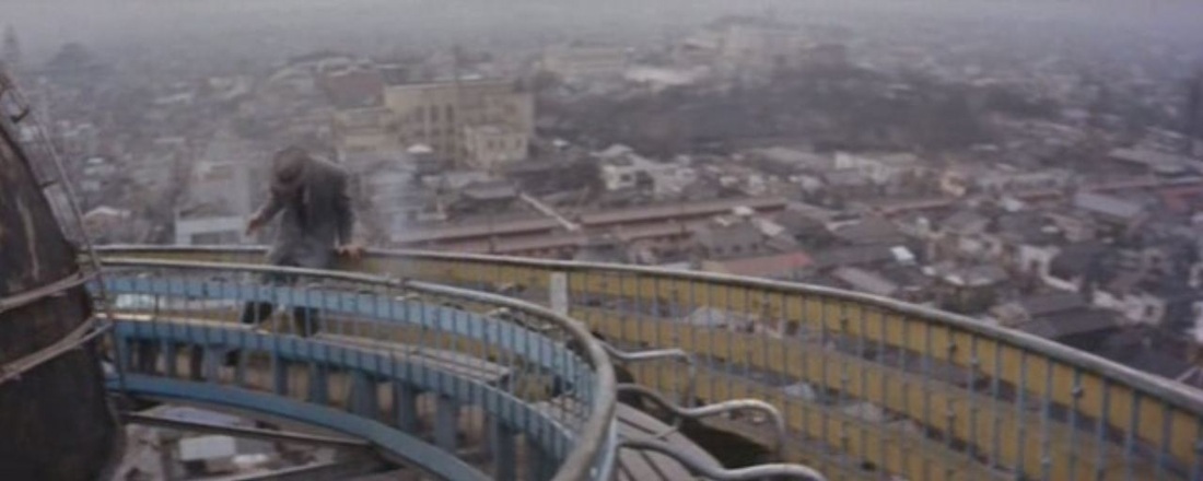 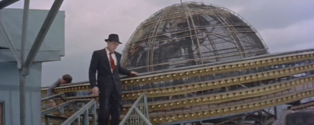 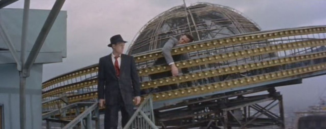  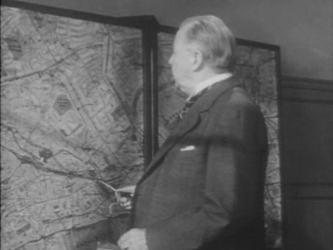 In this London-set, Hollywood-made film the detective has a good set of maps in display cases that he can consult to pinpoint the activities of the serial killer he is pursuing. We should expect the maps to be authentic, but to my shame I cannot tell whether the above map is of London, never mind telling what specific area it is supposed to represent. I couldn't get clues from what the Inspector is saying, since I watched it in a version dubbed into Spanish, a language foreign to me. (If anyone recognises this part of London, please let me know, here.) 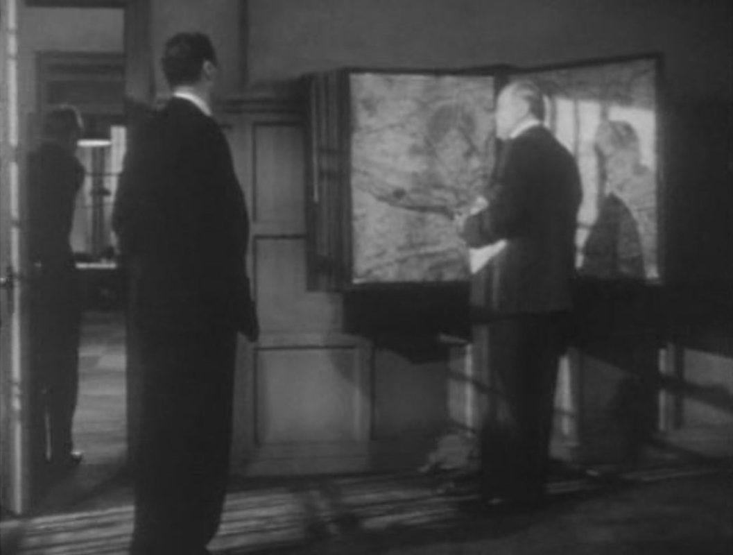 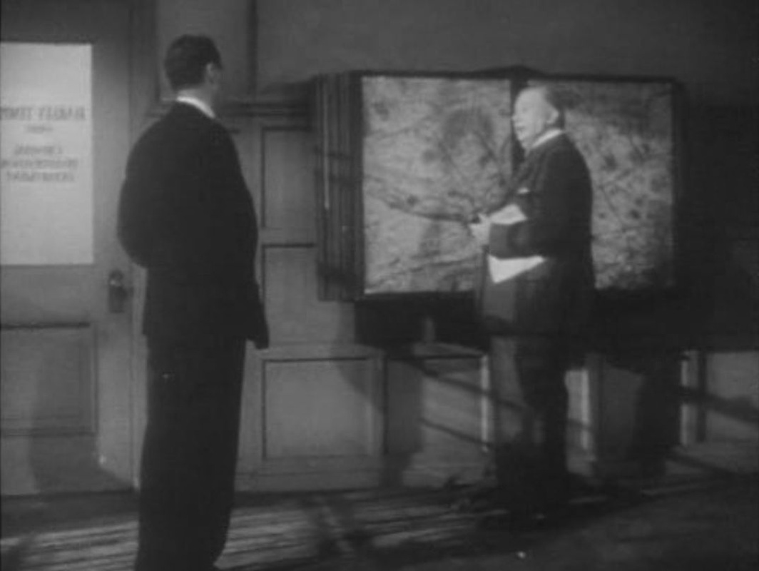 

Murielle Wenger on the 'Police-Secours' locale in Simenon's writings, shown above in an adaptation of his novel Signé Picpus:
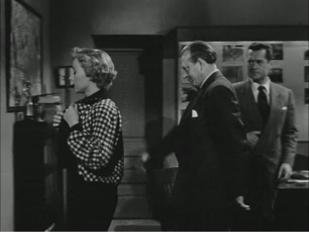
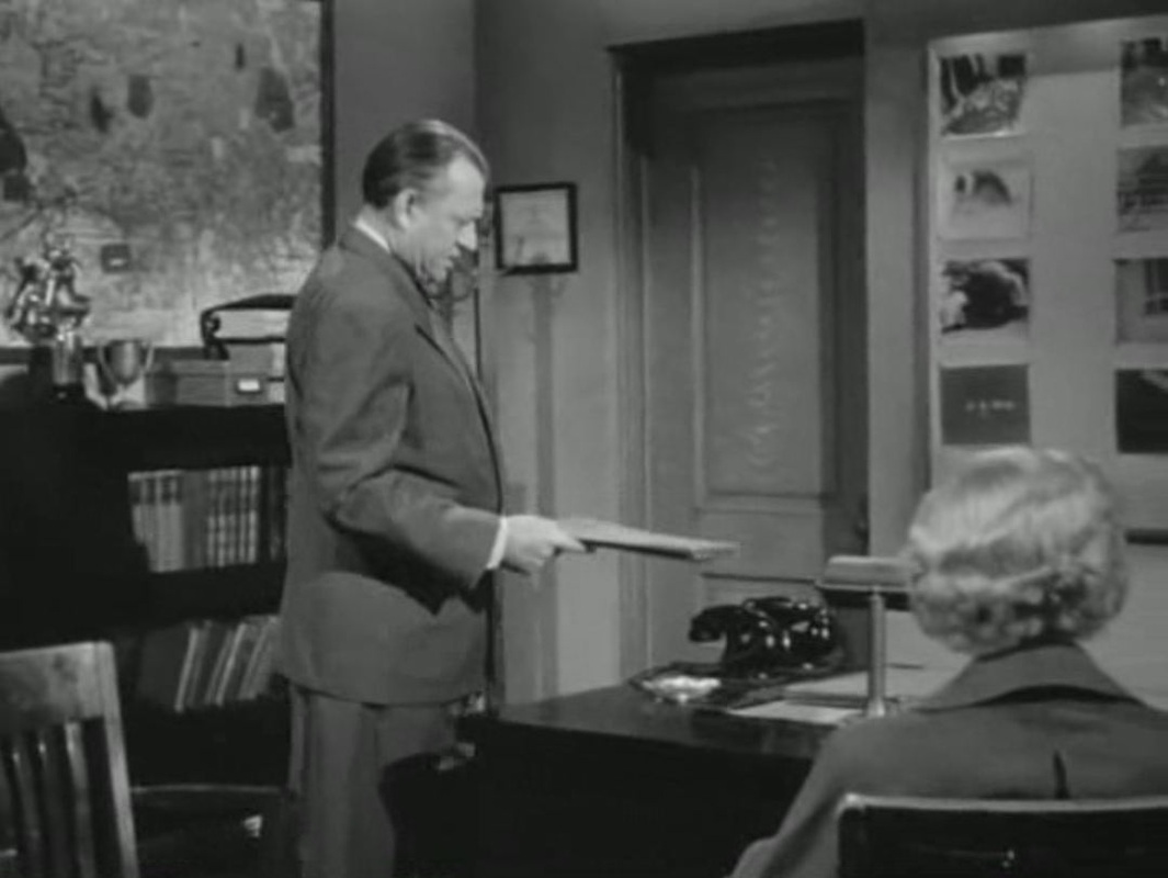
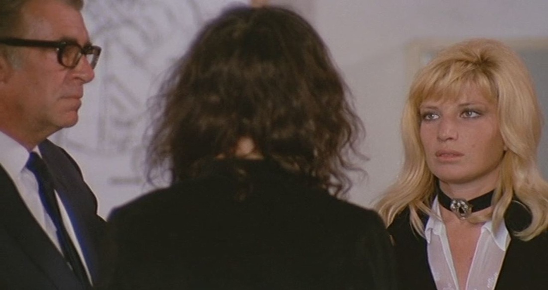
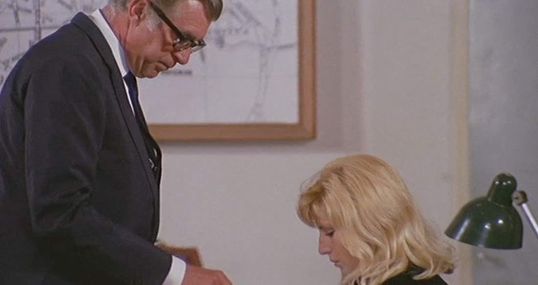
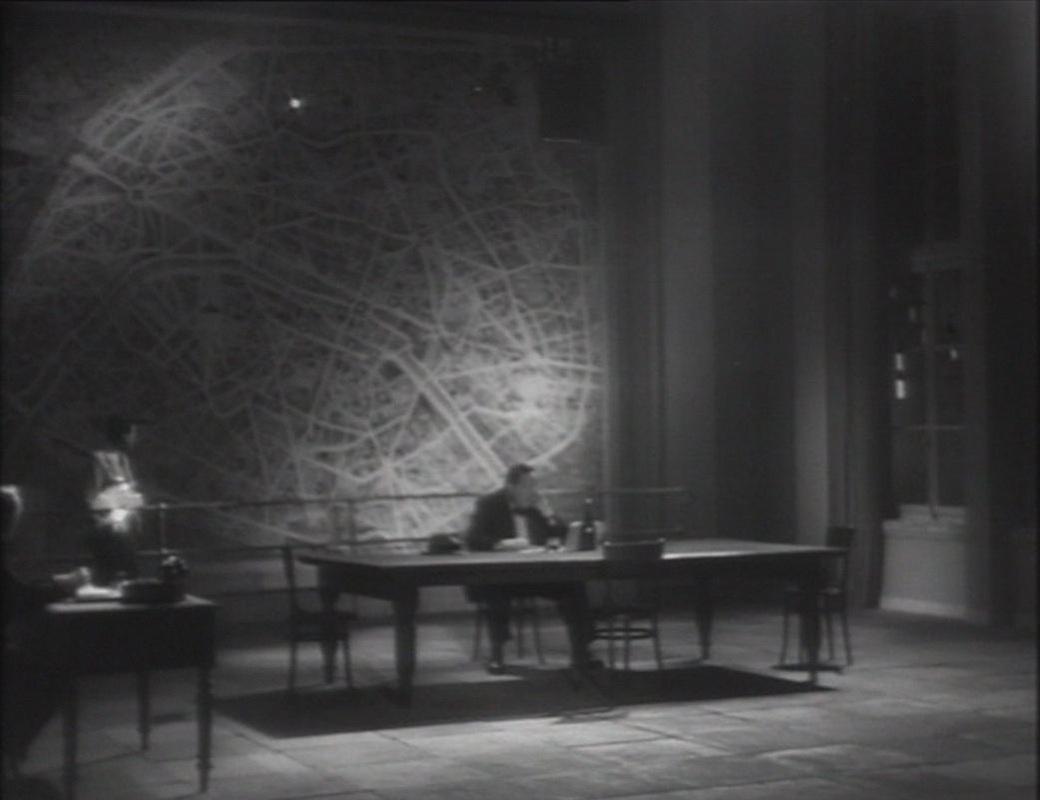
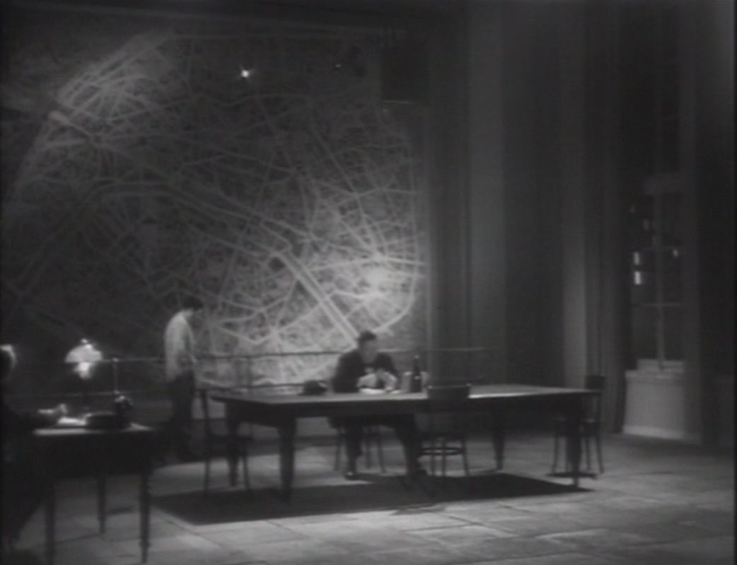
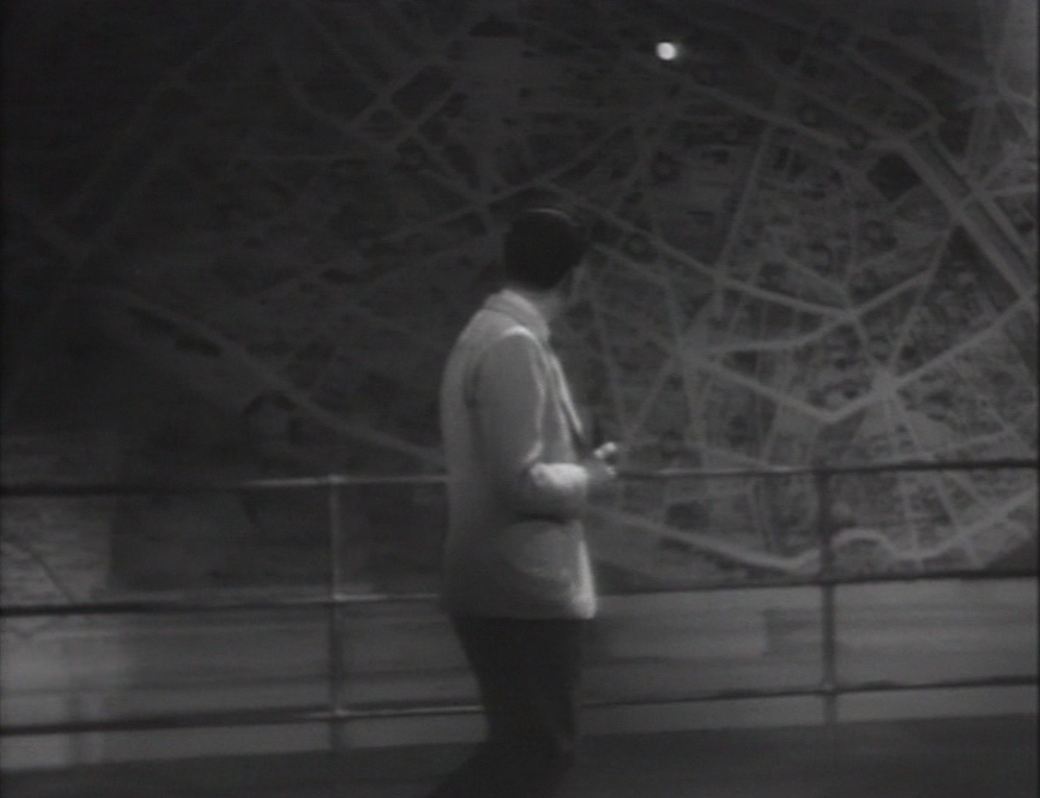
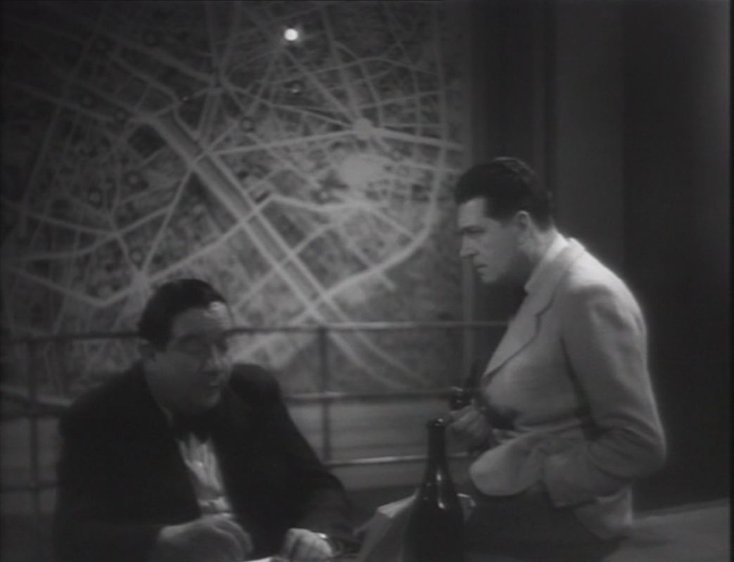
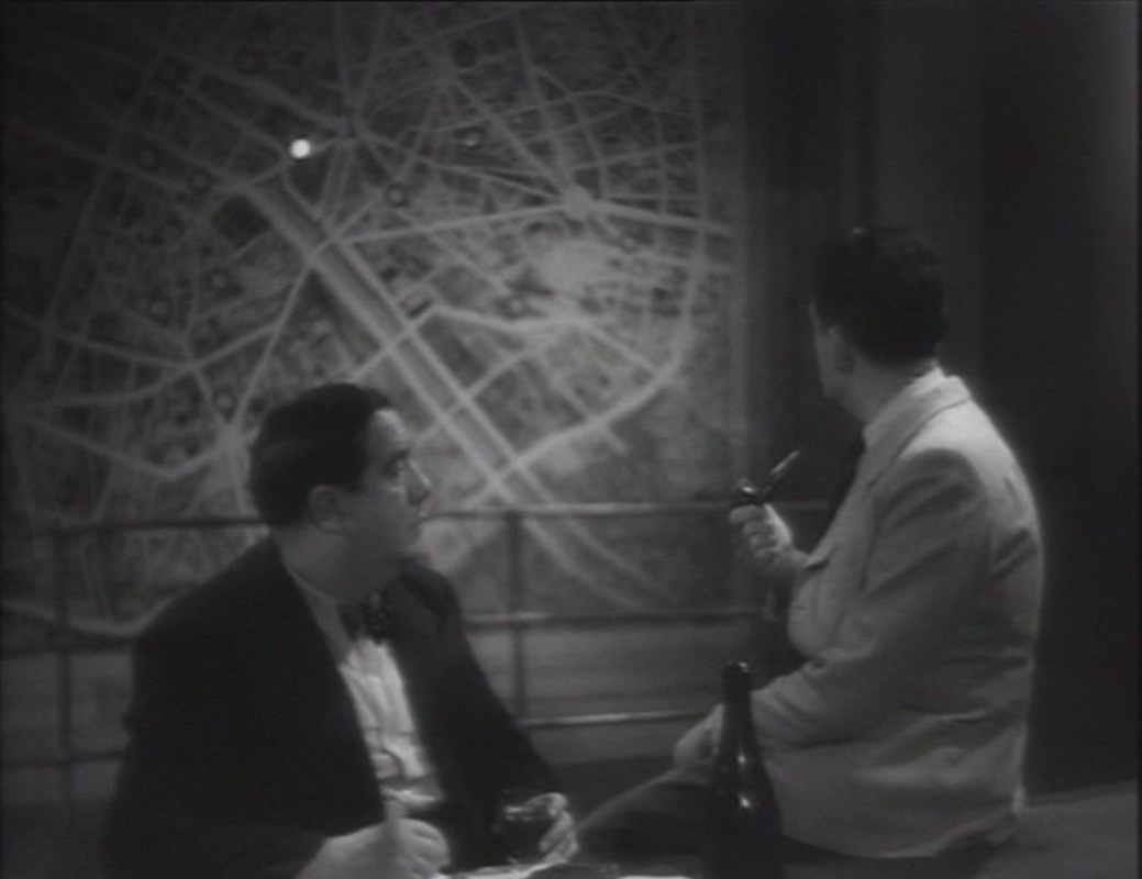
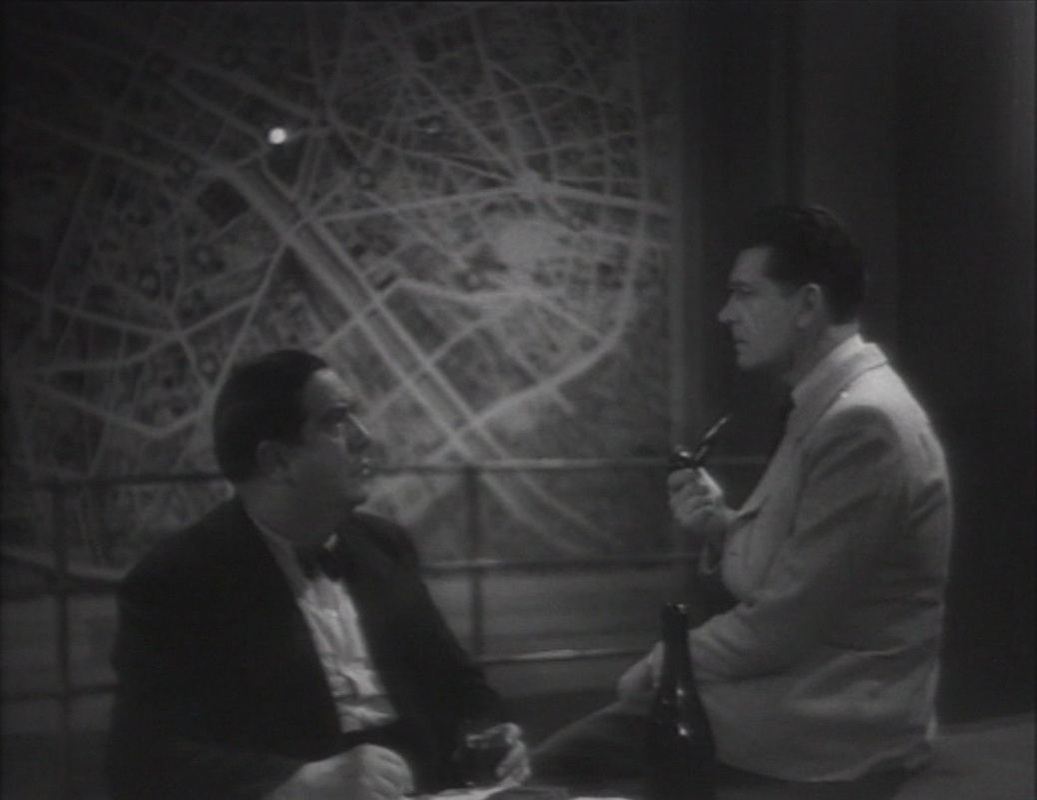
‘Mention of this locale does not occur before the story The North-Star,written around 1937-38. This can no doubt be explained by the fact that Simenon didn't actually "discover" it until the 1930s, when Xavier Guichard invited him backstage at the police, as reported by Simenon in texts appearing in 1934 in Paris-Soir. In 1937, he would put out another series of texts, entitled "Police-Secours, or, The New Mysteries of Paris", in which he describes precisely the locale of Police-Secours and the activities taking place there. These two sets of texts have been collected in the volume, "Simenon, my apprenticeship" (Simenon, mes apprentissages)", from Omnibus. Here are some extracts... "In the large room with the iron door, but two windows open to the night, there are four, four peaceful officers, with two of them wearing gray smocks... On the left, an enormous piece of furniture which resembles a telephone switchboard, in which hundreds of little lamps are ready to light. On the right, a telegraphic device which runs from one moment to the next. Finally, above... we hear the steps of a "solitary", a fifth officer who, he alone, waits before his equipment to send out radio calls. ... Just now a lamp, as big as a lozenge, lights up on the map of Paris attached to the wall. It's the lamp of the 13th arrondissement and its blinking signifies that the Police-Secours car of that arrondissement has just left. ... Already the operator has taken up the telephone which will put him in direct connection with the principal station of the 13th. ... The station there, Place d'Italie, is not yet aware. It's one of their agents who has broken the glass of the call box on the Rue de Tolbiac, thus requesting reinforcements. ... I am once again in this vast room at Police Headquarters where hundreds of bulbs, lit or unlit, are such witnesses of the dramas of Paris. ... I am for the last time at the heart of this network of lines which transcribe to the illuminated table of the Central Bureau all the diverse facts of Paris. It is night. There are five of us in the midst of the apparatus which goes on and off intermittently." As said above, this department is mentioned in l'Etoile du nord, where it's a call from the officer on duty at Police-Secours which will clinch Maigret's investigation. Police-Secours is mentioned in many novels, sometimes when Maigret receives a call from them, sometimes when he calls them himself to learn if something has happened in Paris. A more precise description of the room is found in three novels. It's how Maigret and the Fortune-Teller (Signé Picpus) opens, at Police-Secours... "Three minutes to five. A white bulb lights up on the immense map of Paris which covers one entire section of wall. A worker sets down his sandwich, inserts a plug into one of a thousand holes of a telephone switchboard." Later, the locale is described as a "room which is like the brain of Police-Secours." It's there that Maigret has come to await the announcement of the possible murder of a fortune-teller…’. See here for Wenger's fuller discussion of this locale. See here for representations of this locale in other Simenon adaptations. 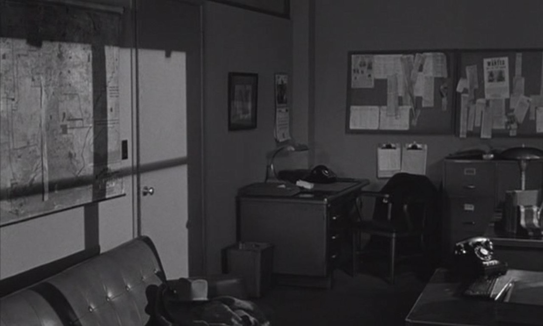 The maps in Crime of Passion are almost all at Police Headquarters, where they serve exclusively as décor - no one consults them, or points at them, or even looks at them in passing. Nonetheless, their consistent positioning in the frame and in the light makes them a key element in the expressive composition of scenes in this space. This makes them more than just establishing décor: they help to visualise the complex power relations between officers at Headquarters. 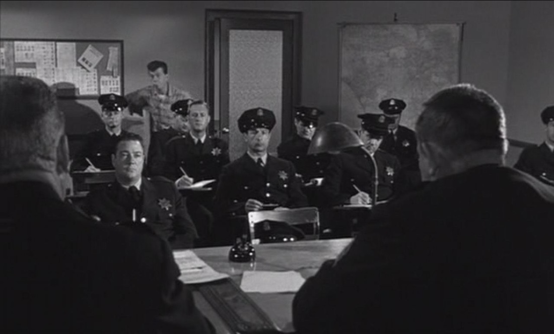  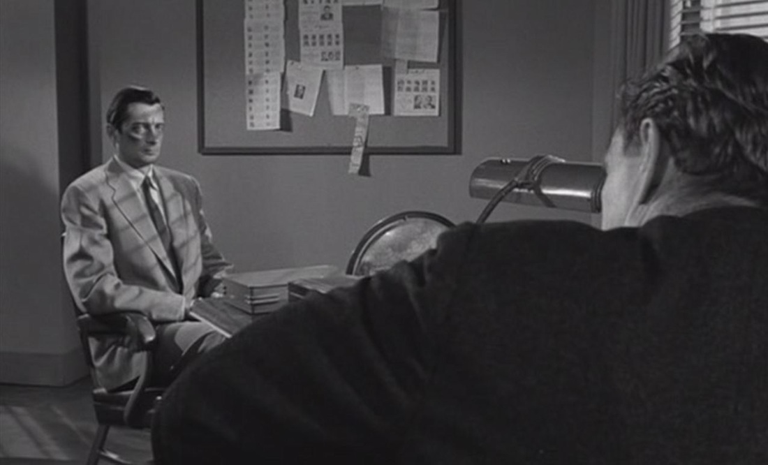 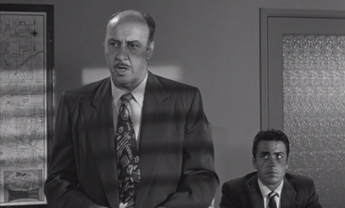 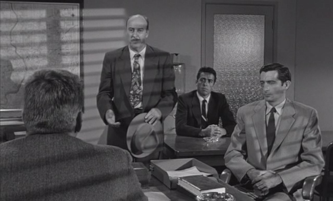 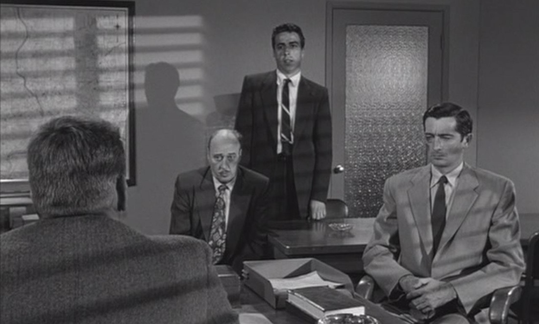 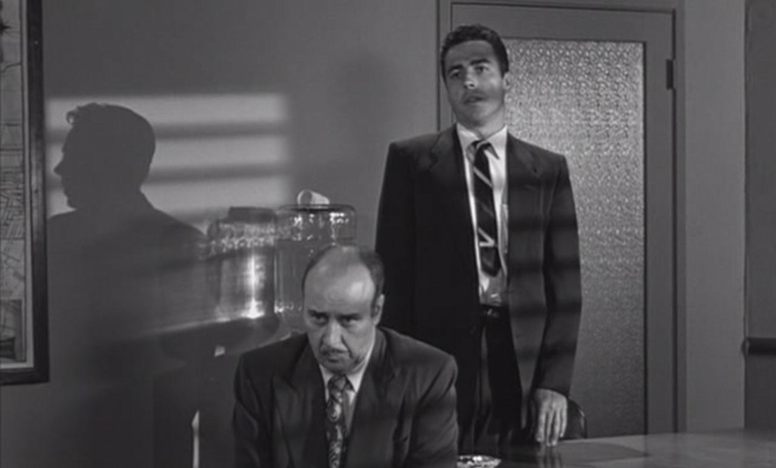 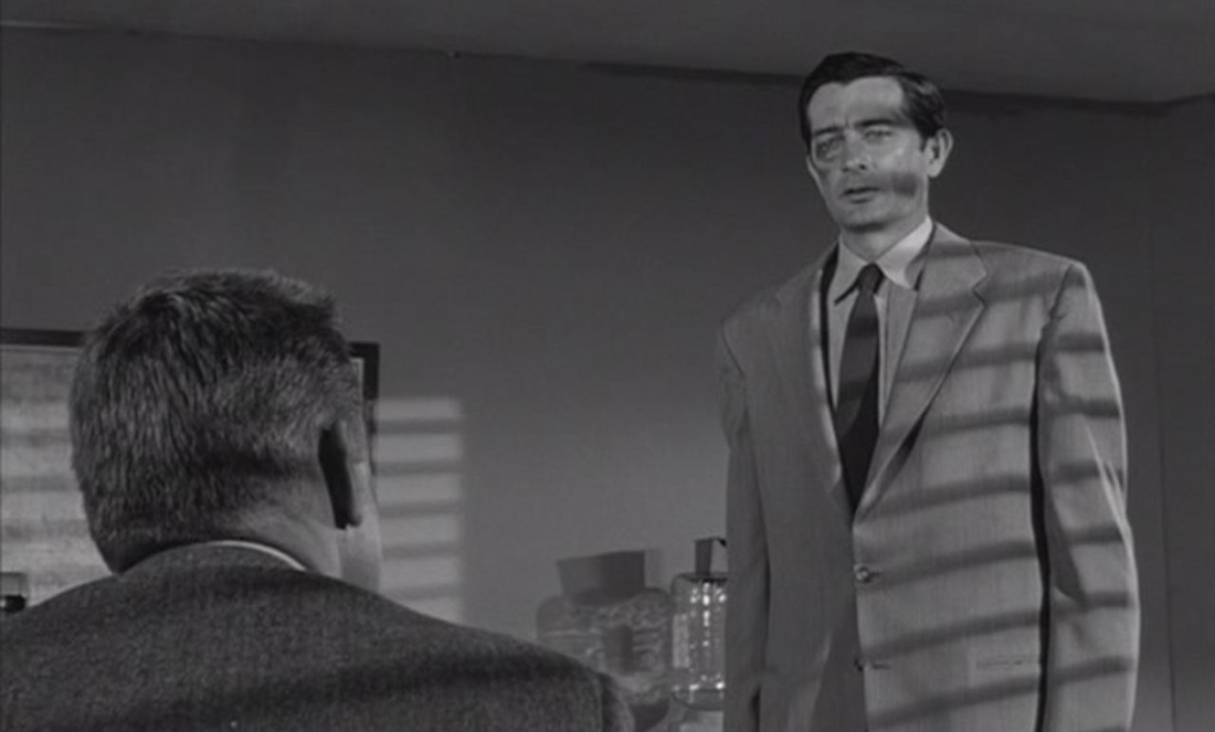    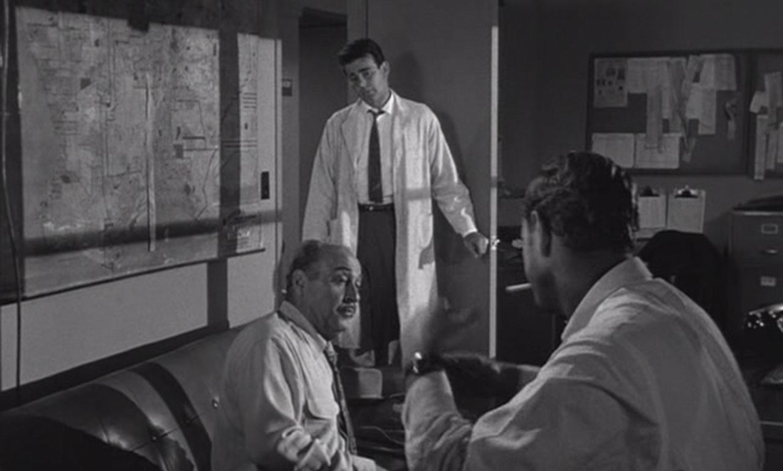 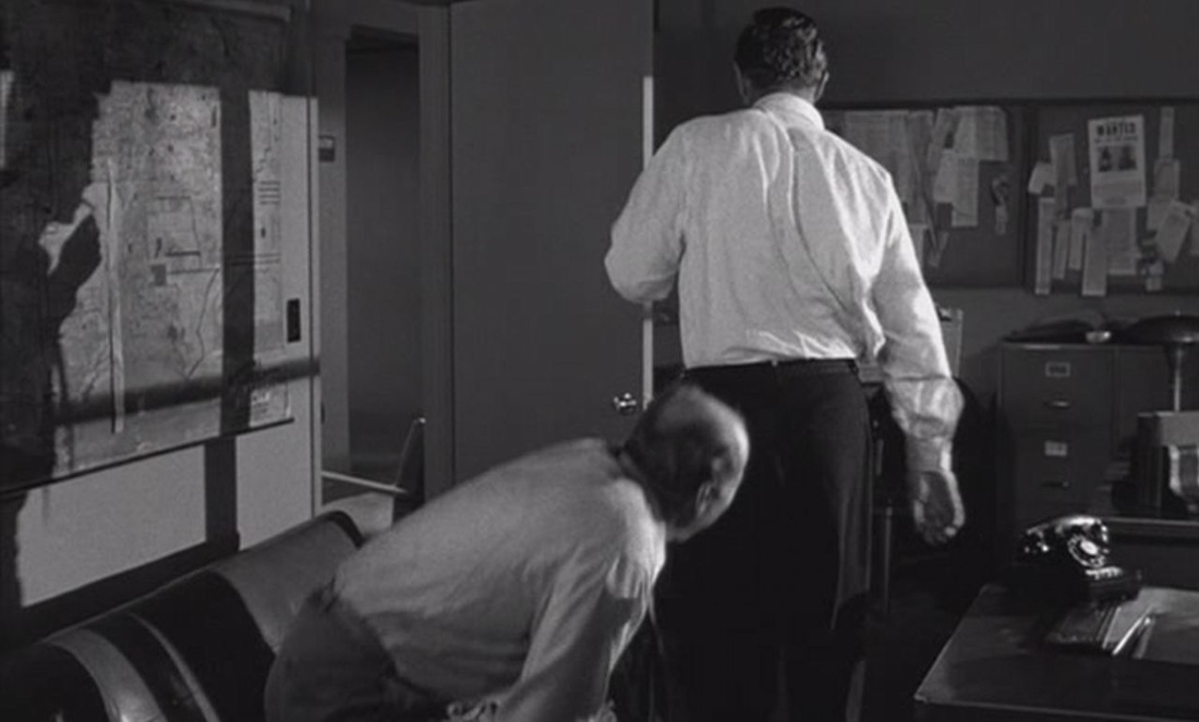   Maps are differently expressive when associated with the film's female protagonist. When we first see her she is a powerful columnist on a San Francisco daily. Her framing by maps, whether in the Press Room at Police Headquarters or at her own place of work, suggests her discursive dominion over the area those maps represent: 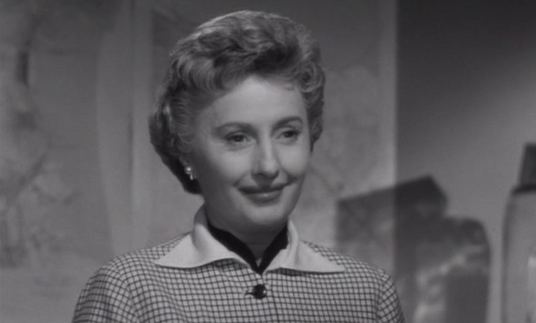 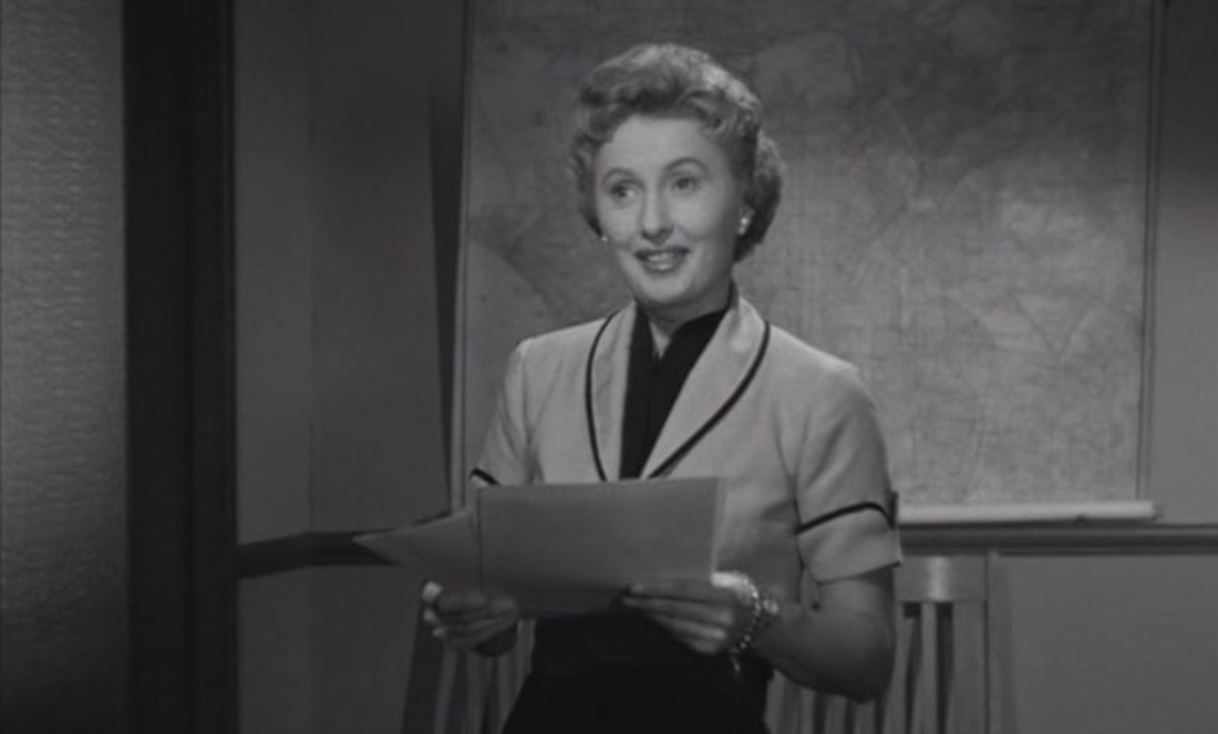 When she gives up her career to become the wife of a police detective, she is moved from city centre to suburbs, and is no longer shown with maps as part of her world.
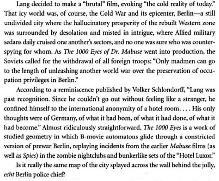
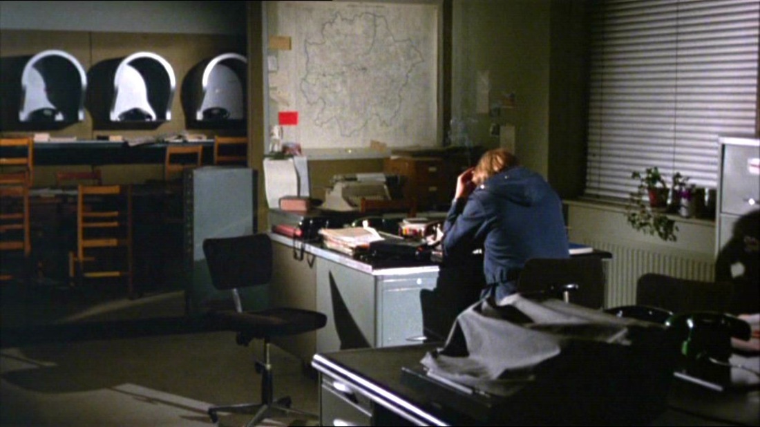 Some elements of the police-station set vary slightly from the first Sweeney film to its sequel, but the vast map of Greater London is a permanent feature. 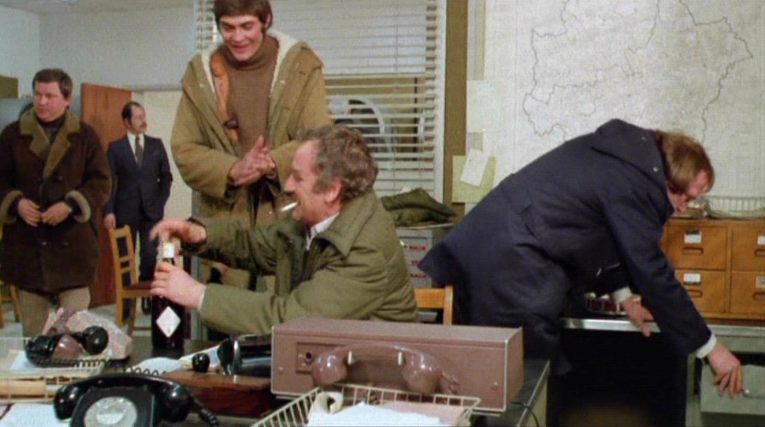 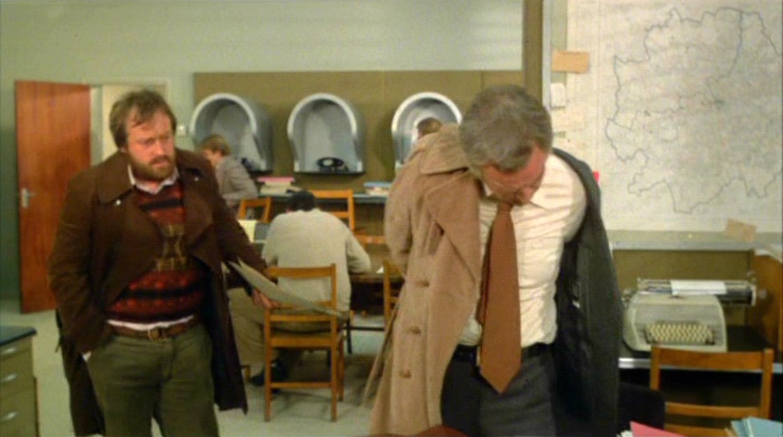  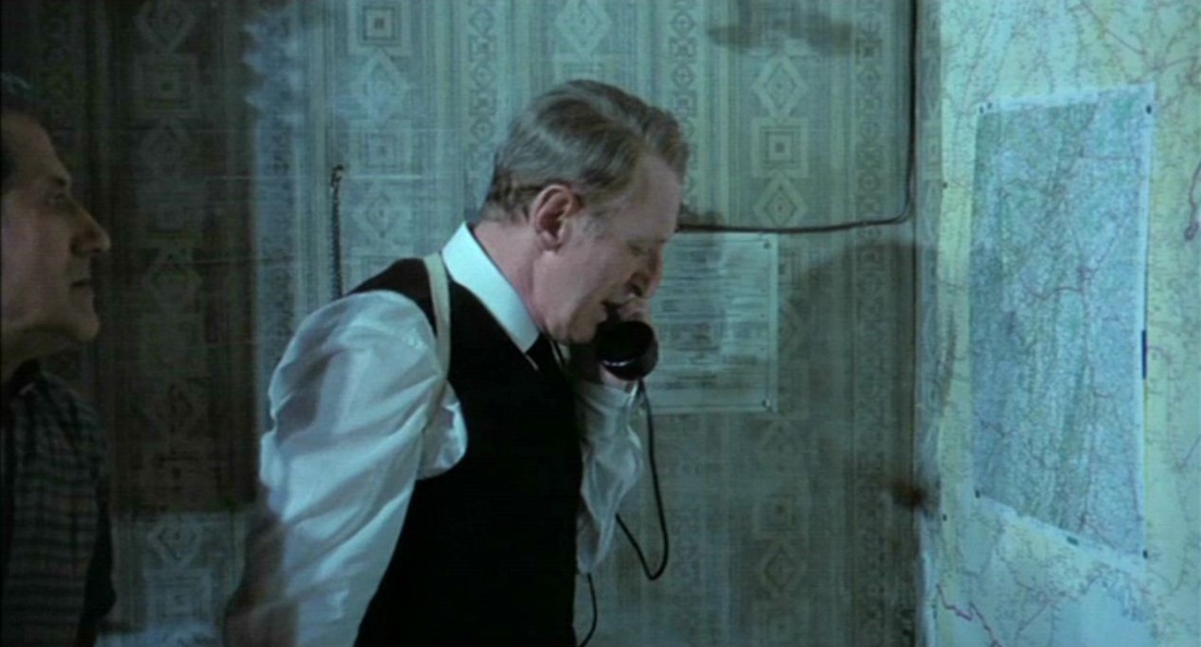 - Do you have a Michelin map of the area? - Just behind you. - Where are we exactly? - At Meursault-L’Hôpital. - What’s the road? - The D.23. (…) - Set up roadblocks on all the routes, including between Arney-le-Duc, Nuits-Saint-Georges, Beaune, Chalon-sur Saône, Le Creusot, Autun. I’m at the level crossing at Meursault-L’Hôpital, it cuts across the D.23, that’s right. The escape of a prisoner from a train is followed by this close scrutiny of the surrounding area on a road map. A sense of identifiable location is very strong, especially with all those names of classic Burgundies. 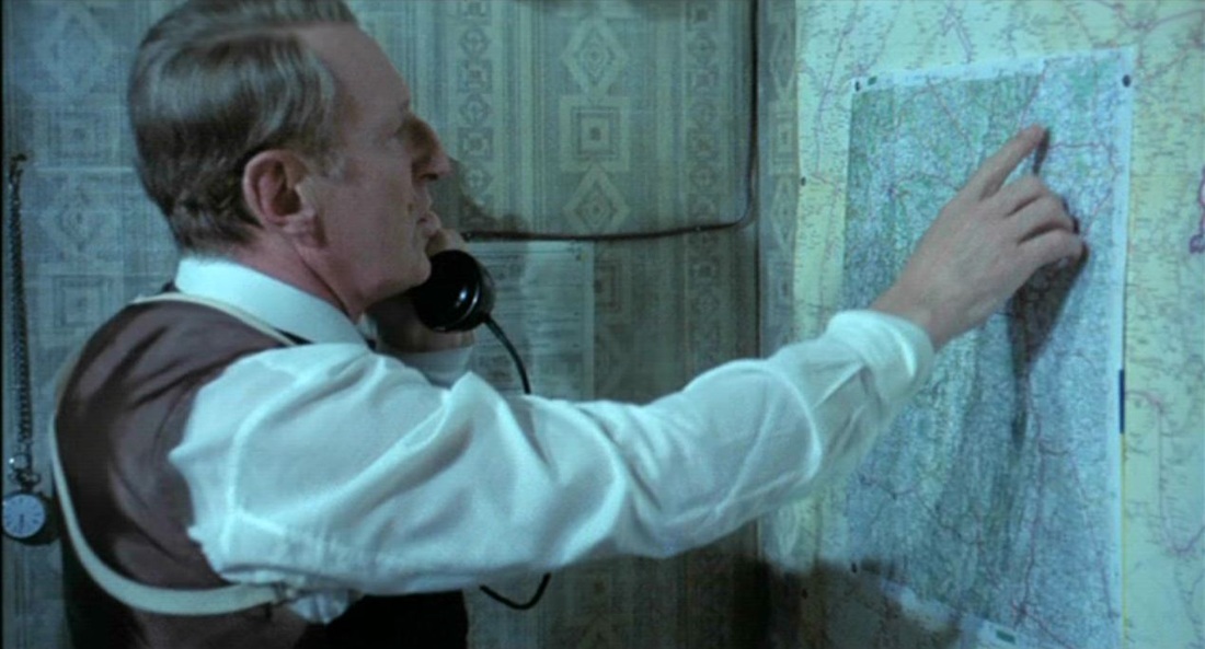 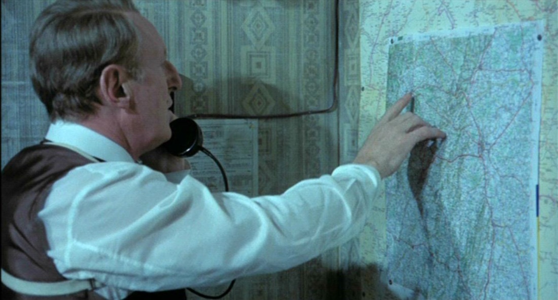 The other maps are conventional for such a film. In contrast to Rififi (this film's pre-text, see here), we hardly get a glimpse of the map used in the heist: 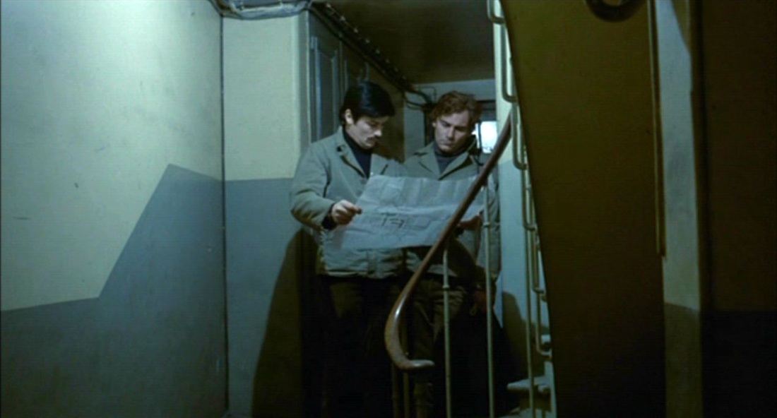 At police headquarters there is a map of Paris in one office, and in another room a set of maps of specific districts: 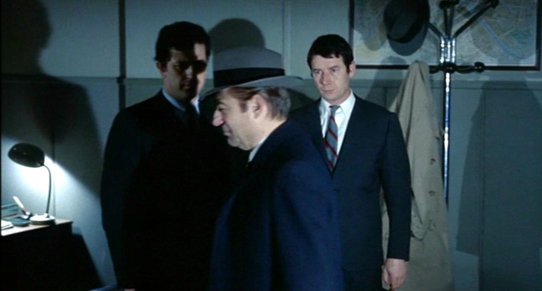 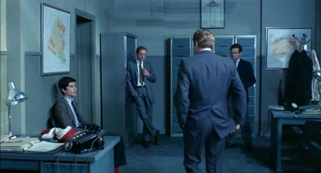 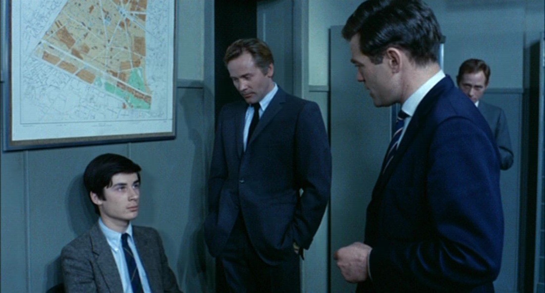 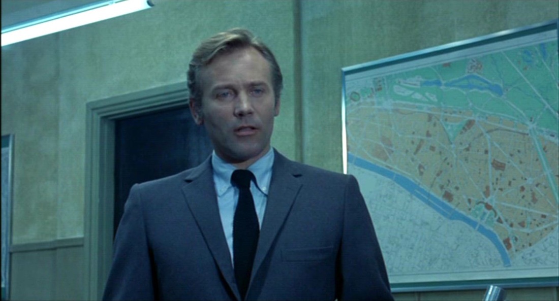 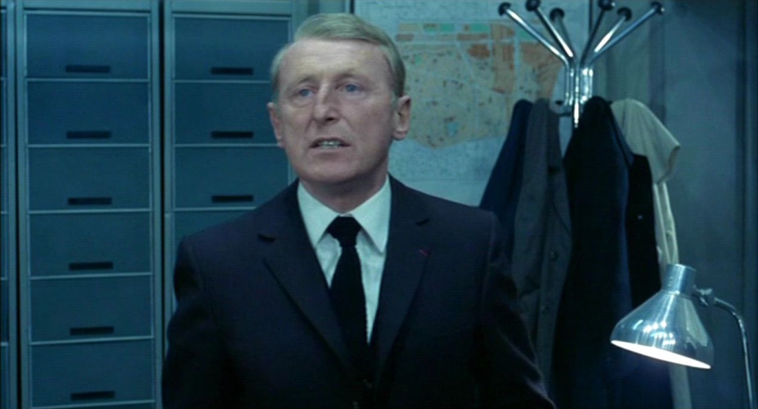 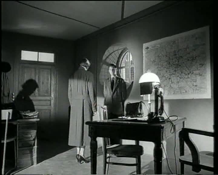 Astruc's film, a Balzacian precursor to Rivette's Paris nous appartient (see here), shows the conquest of Paris by a young woman from the provinces; soon after arrival she says that Paris 'belongs to us now'. The one map of Paris in the film is at at police headquarters, where she is being interrogated regarding an illegal abortion.The film presents the story through a series of flashbacks, returning periodically to the quai des Orfèvres and its cartographic backdrop. 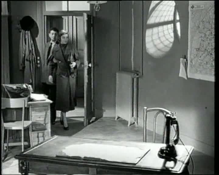 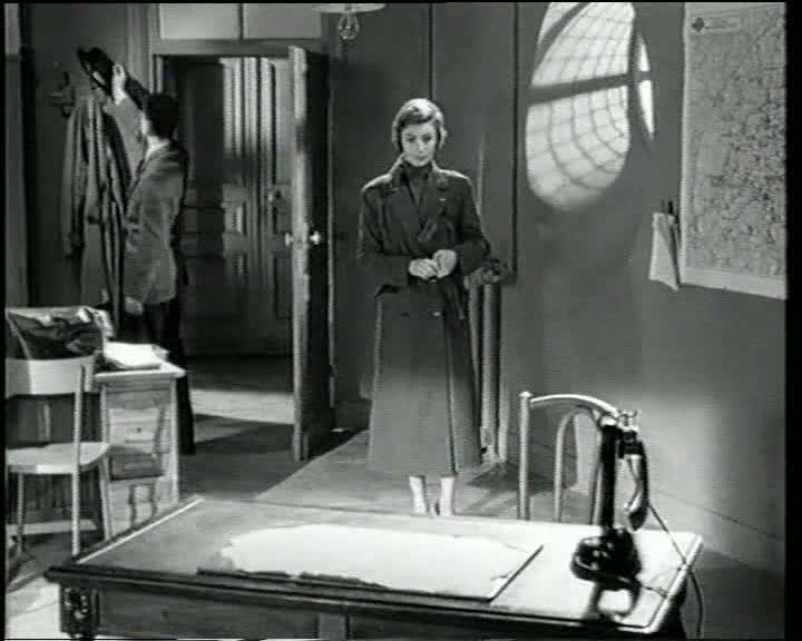 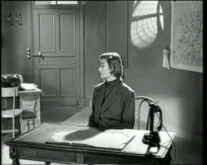 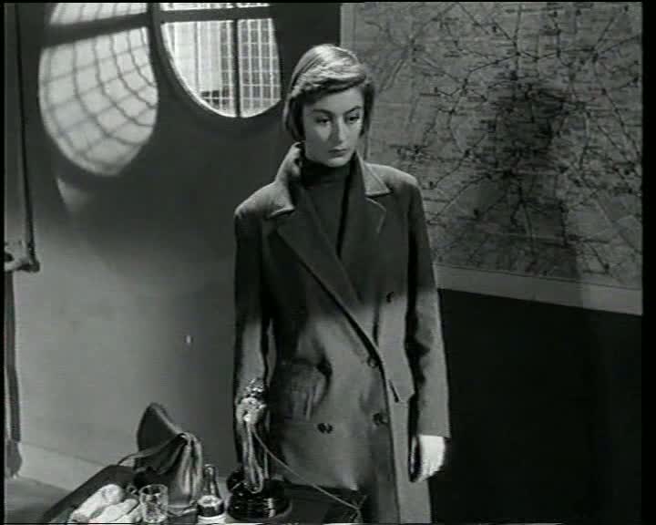 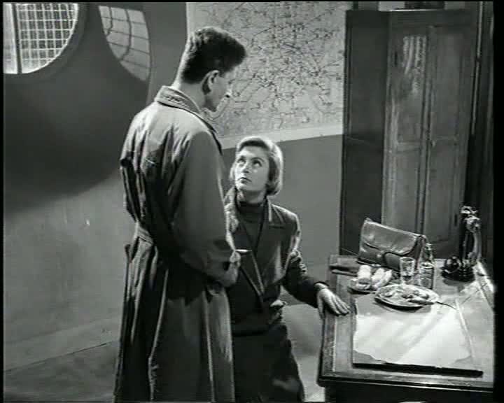 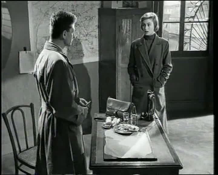 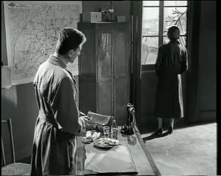 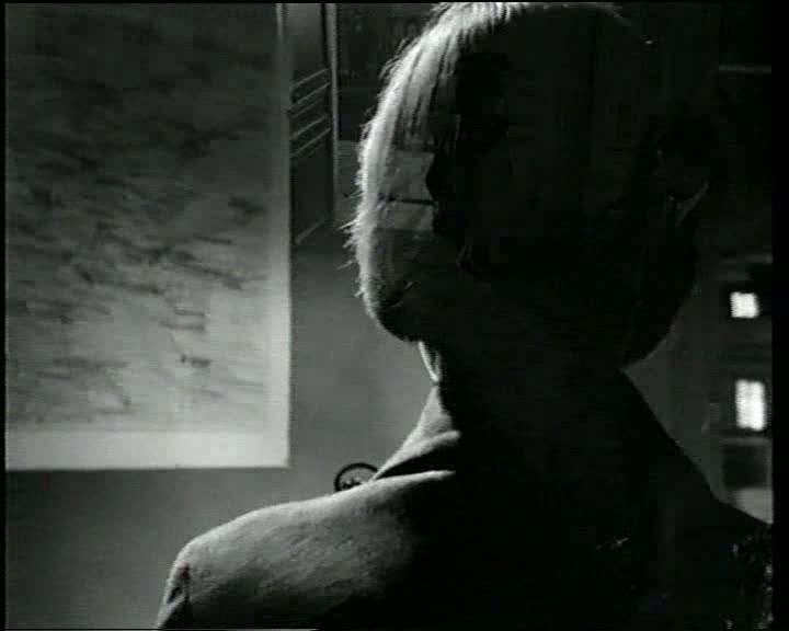 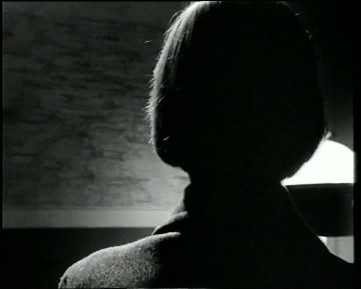 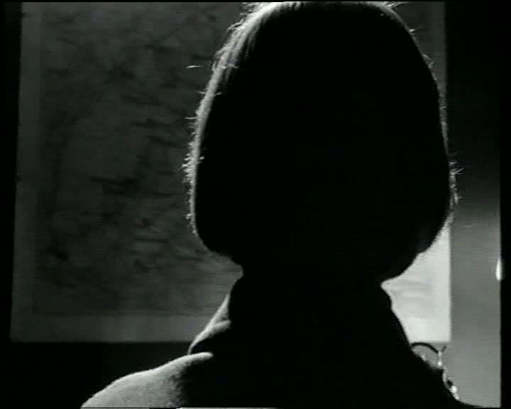    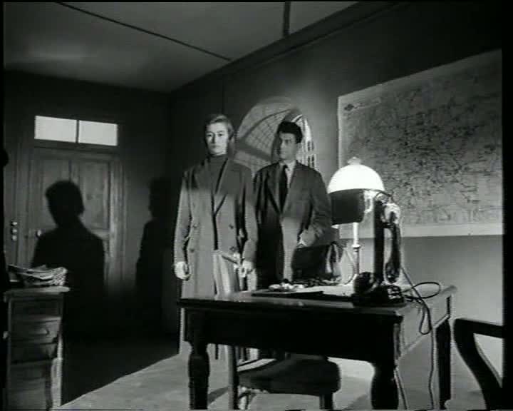 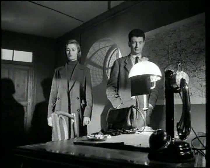 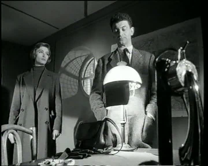 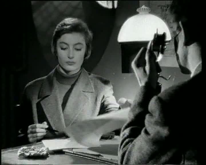 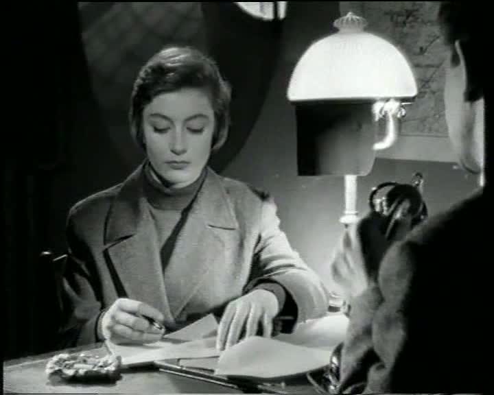 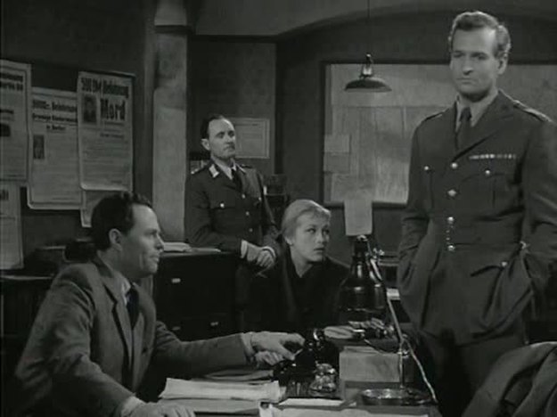 As in The Third Man, maps are a part of the establishing décor in the offices of those who police the divided city, but the lines marking the divisions are not foregrounded emblematically.   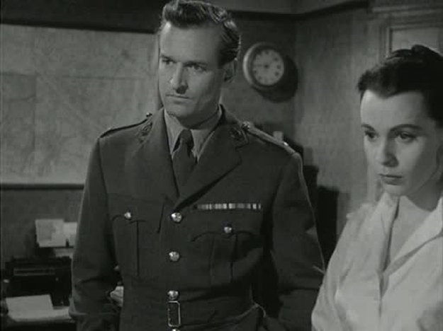 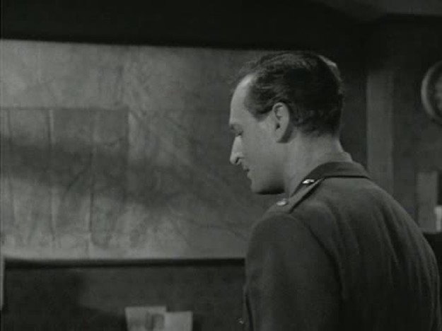 A map is also a part of the décor in the room occupied by criminals, marked with pins to signal some similitude with the plotting done by their legitimate counterparts:   At least these do appear actually to be maps of Berlin, unlike the police inspector's map in Lang's The 1000 Eyes of Dr Mabuse (see here), about which the consensus is that it is not, as it ought to be, a map of Berlin.
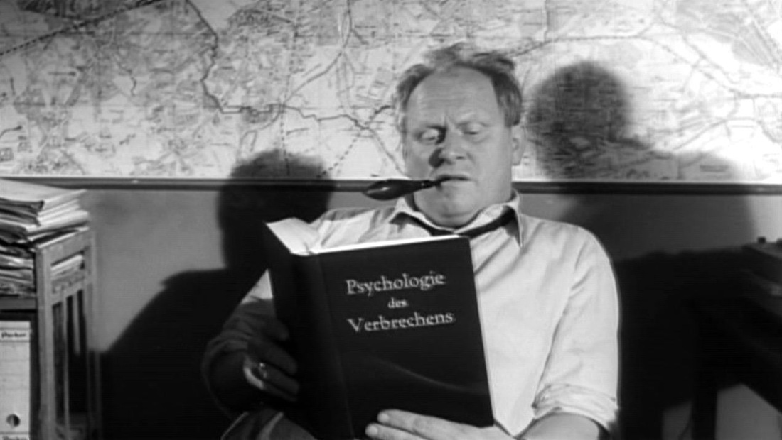  J. Hoberman, The Magic Hour: film at fin de siècle (Philadelphia: Temple University Press, 2003), p.11. Hoberman's question is the one I've been asking. Is that a map of Berlin behind the police chief? I can't seem to match it to any maps I can find of Berlin c.1960, or from an earlier date. Any suggestions appreciated (email here) 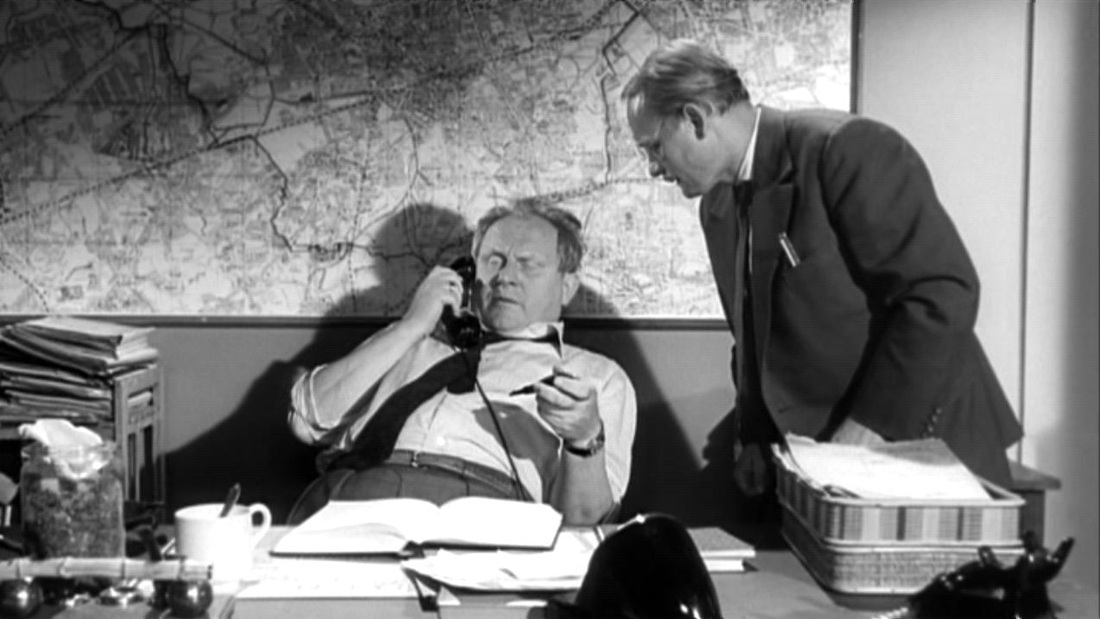 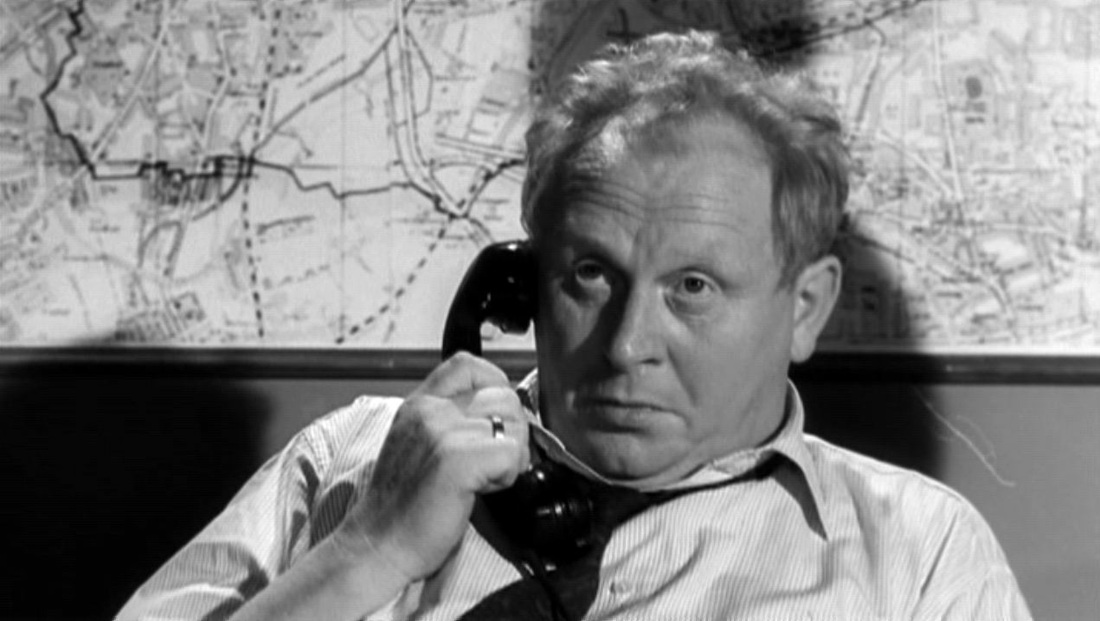 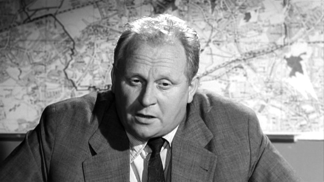 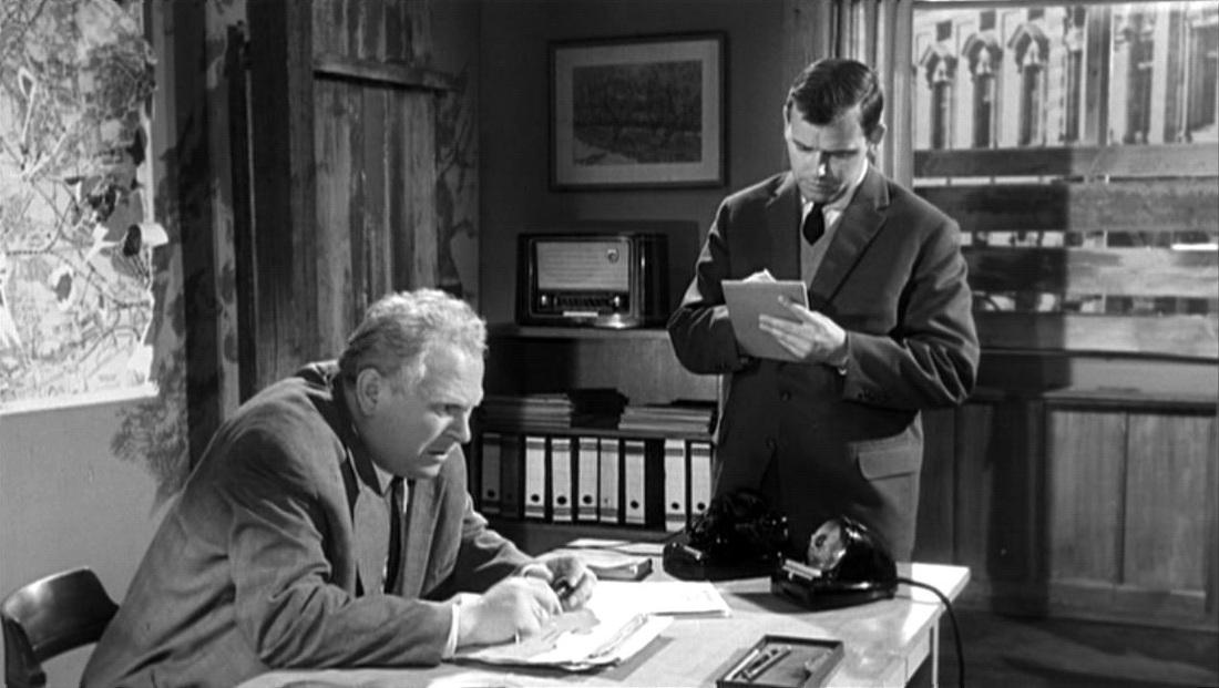   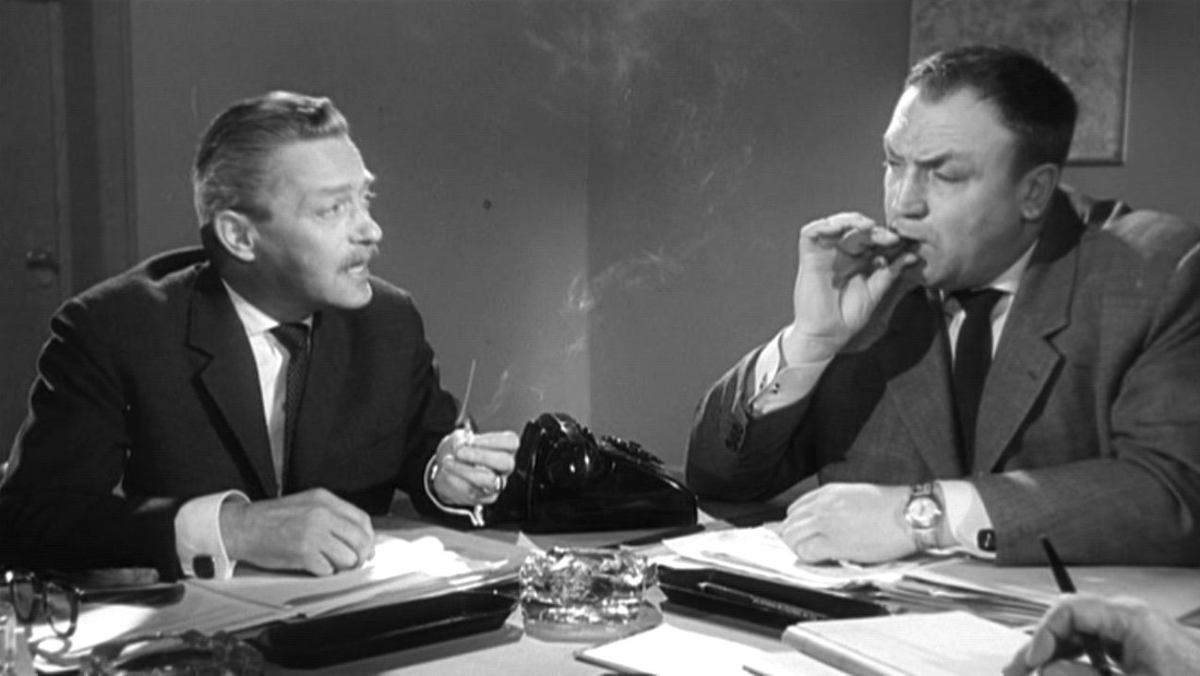 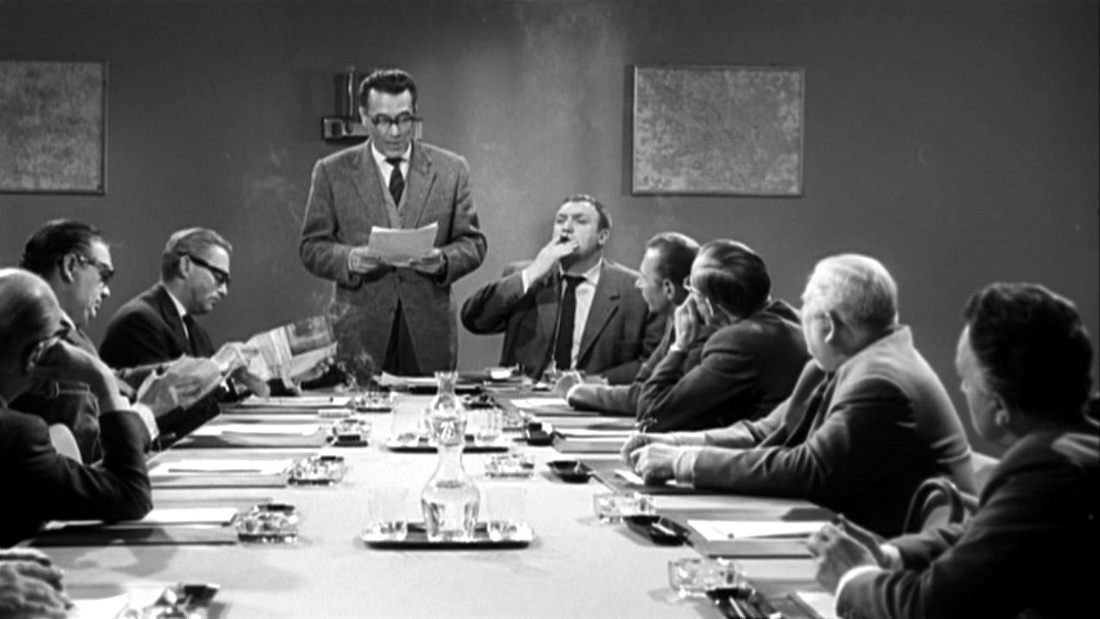 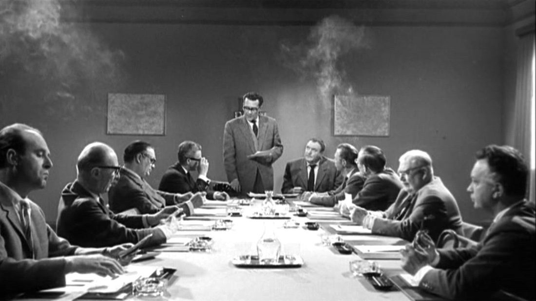  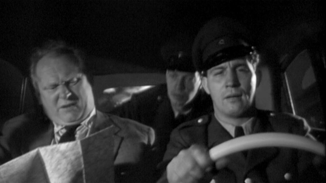 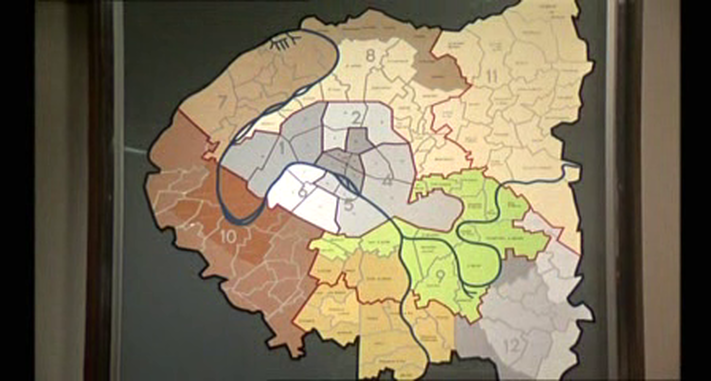 We get a brief glimpse in an outer office of this splendid map of the Paris region, but the principal room at police headquarters is dominated, unusually, by a map of France rather than Paris (though it has a tiny map of the Paris region in the corner):   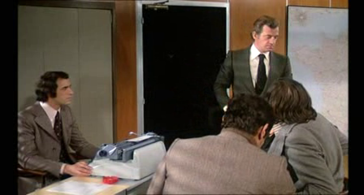 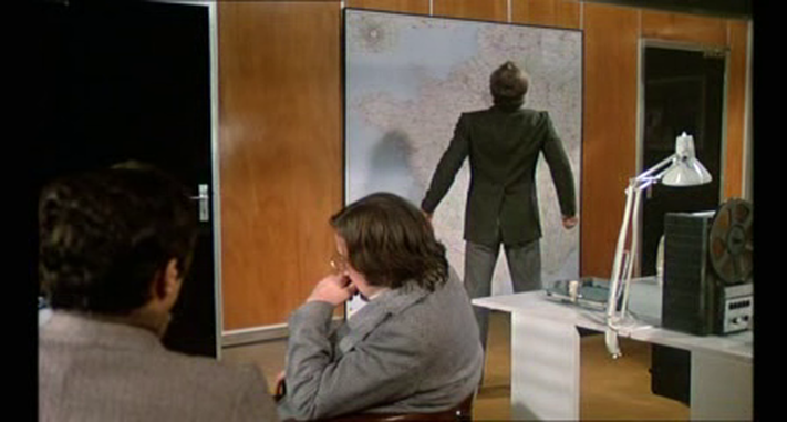 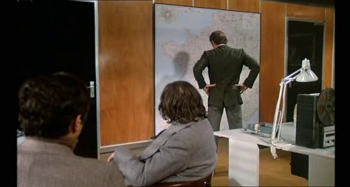 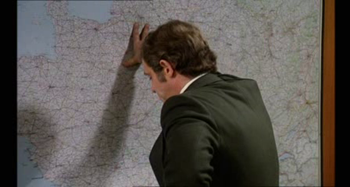 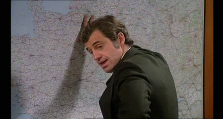 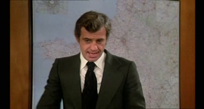 Towards the end of the film we see a map of Paris spread out on a coffee table. This overhead view connects to the aerial views of Paris in the film's opening sequence and later in several vertiginous action scenes: 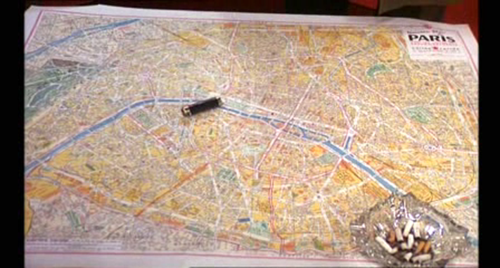      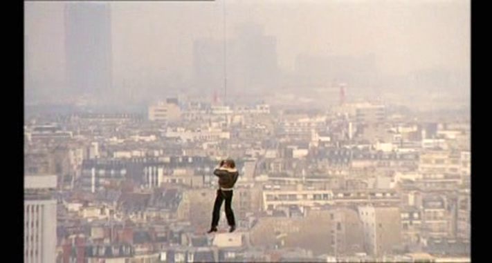 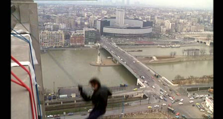 The one other map in the film is in a control room of the métro system, where the train on which the hero is chasing a villain is being tracked: 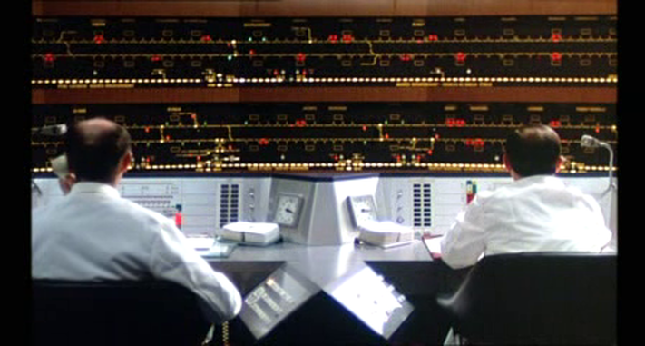 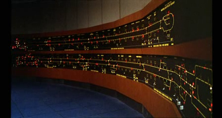 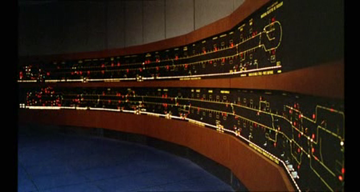 We see a similar control-room map in Claire Denis's 35 rhums (2008):    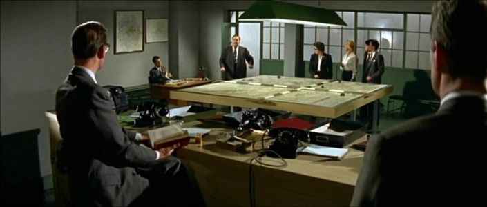 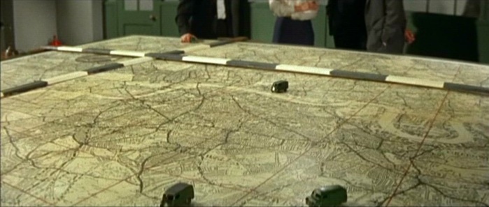 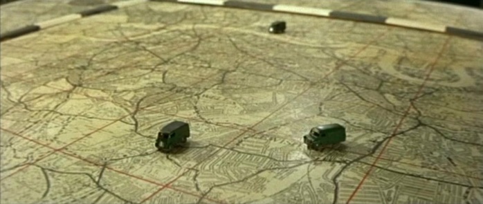 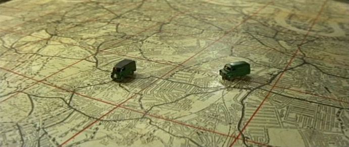 ‘Two primal scenes take place at the beginning of the decade, in films that do not yet swing but are already modern. Victim (1961) begins at a building site, the substantial development around Stag Place including Esso House (briefly to be glimpsed in the protest march sequence of Blow Up). The location is an explicit metaphor for the film’s idea of a new world to be built (one where sex between men is no longer illegal). The Young Ones (1961) also begins at a high-rise building site, though here modern architecture expresses not newness but the rapacity of the old (in the form of the hero’s property-developer father – ‘the old one’). In the narrative climax the young ones connect with London’s traditional aspect and architectural heritage by putting on their show at the splendid Empire Theatre, Finsbury Park (built 1910). By preserving on film this vestige of the past before its actual demolition by developers the next year, The Young Ones ends on a note of deep irony about an oncoming modernity.’ R-F Lack, 'London Circa Sixty Six: the Map of the Film', in Gail Cunningham and Stephen Barber (eds), London Eyes: Reflections in Text and Image (Oxford: Berghahn, 2008) Both films also have map scenes in police stations. 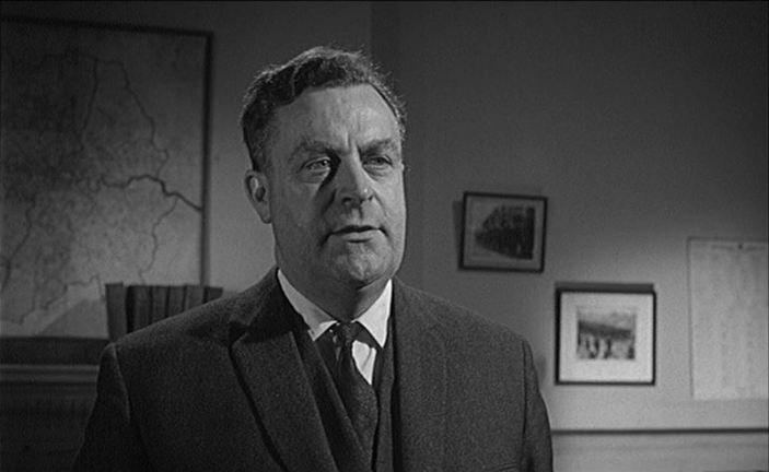 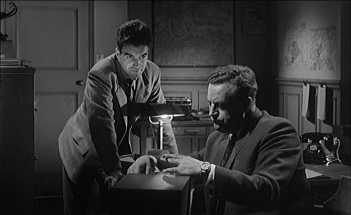 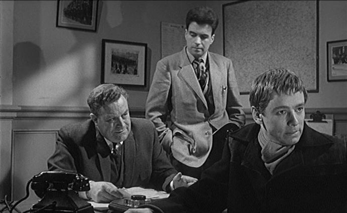 106/ Seven Days Till Noon (Roy Boulting 1950) & The Wrong Arm of the Law (Cliff Owen 1963)22/7/2011 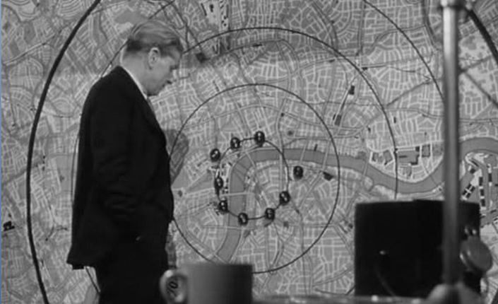 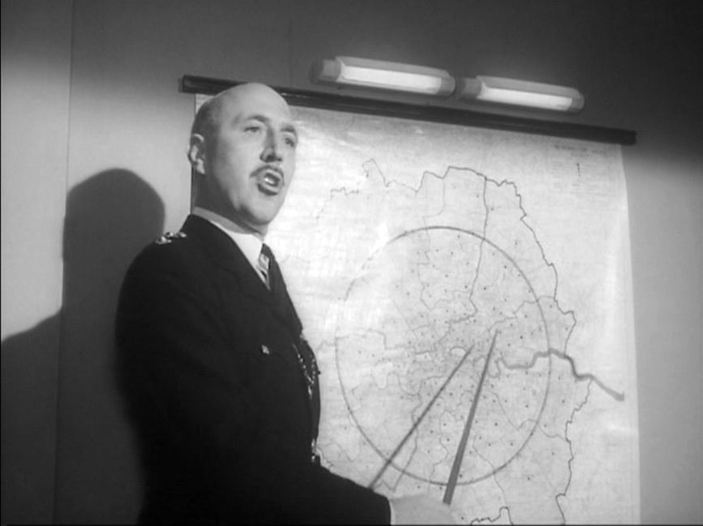 An occasional series posting two maps from different films, for comparison without commentary.
 The ‘Paris’ sequence of Orphée invents an unreal city by linking unconnected but familiar parts of Paris (the rue Vilin, the square Bolivar, the place des Vosges and the covered market at Billancourt). Here are these apparently contiguous places on a map:  There is only one map in Orphée, on the wall of the office of the Chief Inspector of Police, who has summoned Orphée to meet him. Try as I might, I cannot tell of what this is a map (it is not Paris). The line of the river is distinctive, but I don't recognise it. 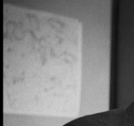 Perhaps the map is upside down. 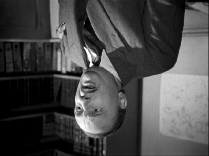 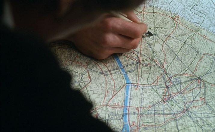 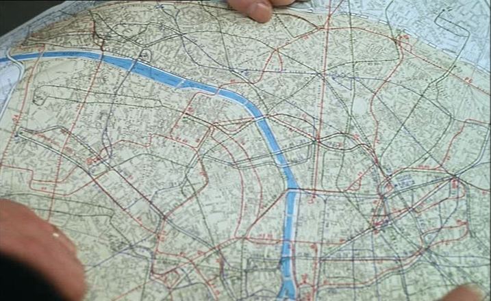 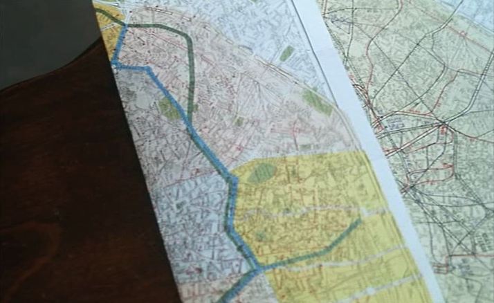 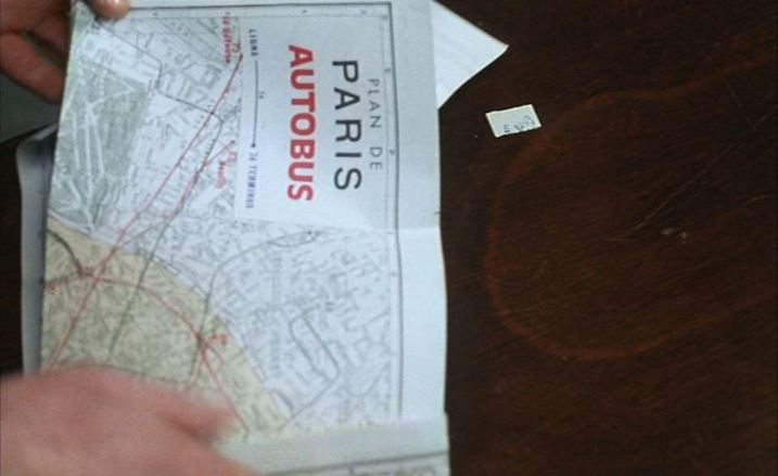 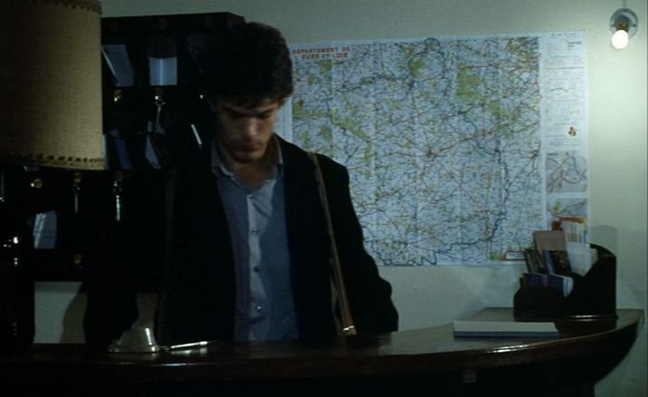  ‘A film is not its shots, but the way they have been joined. As a general once told me, a battle often occurs at the point where two maps touch.’ Robert Bresson, ‘Encountering Robert Bresson’, interview with Charles Thomas Samuels, republished in The Films of Robert Bresson: Casebook (London: Anthem, 2009), p. 96. Below are more maps from Bresson films.  Le Diable probablement   Quatre nuits d'un rêveur  Au hasard Balthasar   Pickpocket 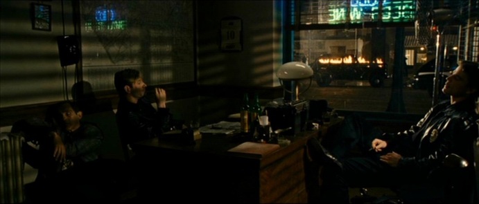 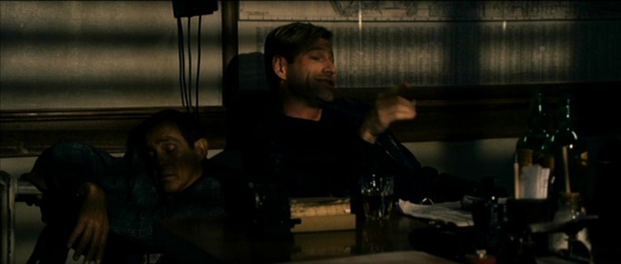 These two mapshots, from the end of the credit sequence, are all we see of maps in The Black Dahlia. As with Blow Out, De Palma seems relatively uninterested in displaying maps in an investigation-centred film (though he is very interested, as with Blow Out, in showing photographers and photographs). Such indifference to maps is perhaps only unusual because they are central to journalistic investigations into the real-life 'Black Dahlia' murder: 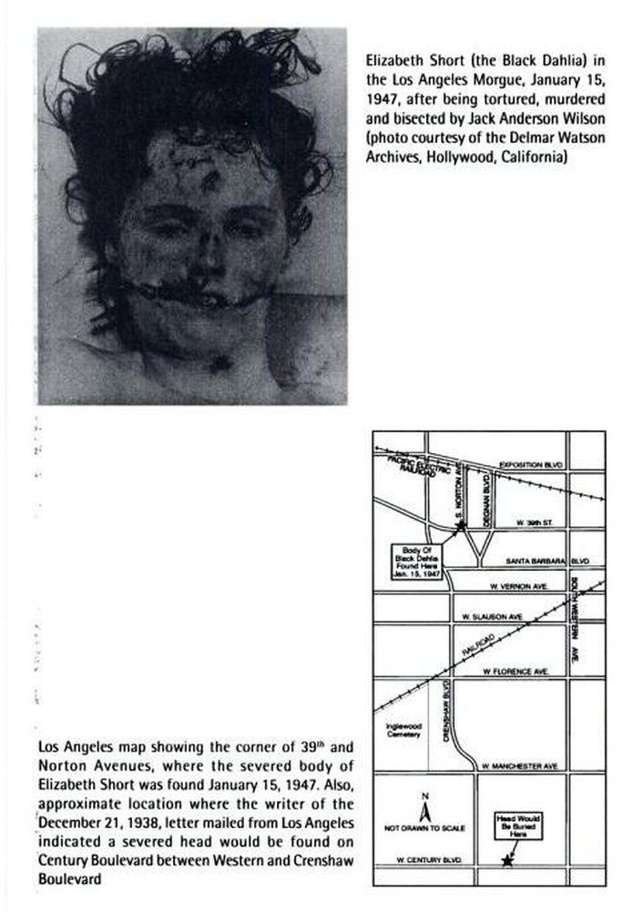 William T. Rasmussen, Corroborating Evidence (Santa Fe: Sunstone, 2004), p.77.  There are (I think) six maps in Psycho. Three are just part of the establishing decor. The first (above), in the office in Phoenix (it is probably a map of Phoenix), draws far less attention than the two large landscapes to the right of it. The second, in the office of the used car lot in Gorman, may not even be a map at all: 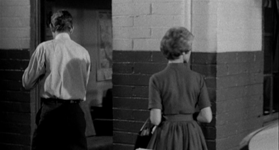 The third, in the corridor outside the office of the Chief of Police, in Fairvale, is no doubt supposed to represent that locale, but the map has no identifiable features: 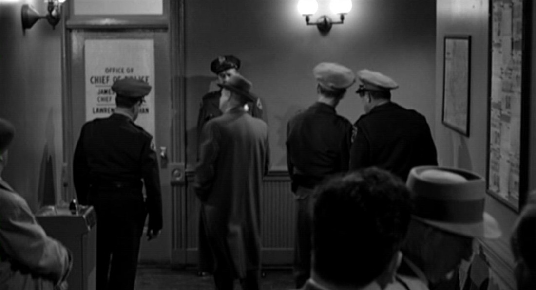 The other three maps are more interesting. One is on the front page of the ‘Los Angeles Tribune’ which Marion buys in Gorman: 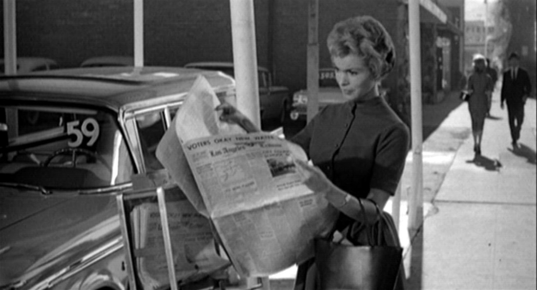 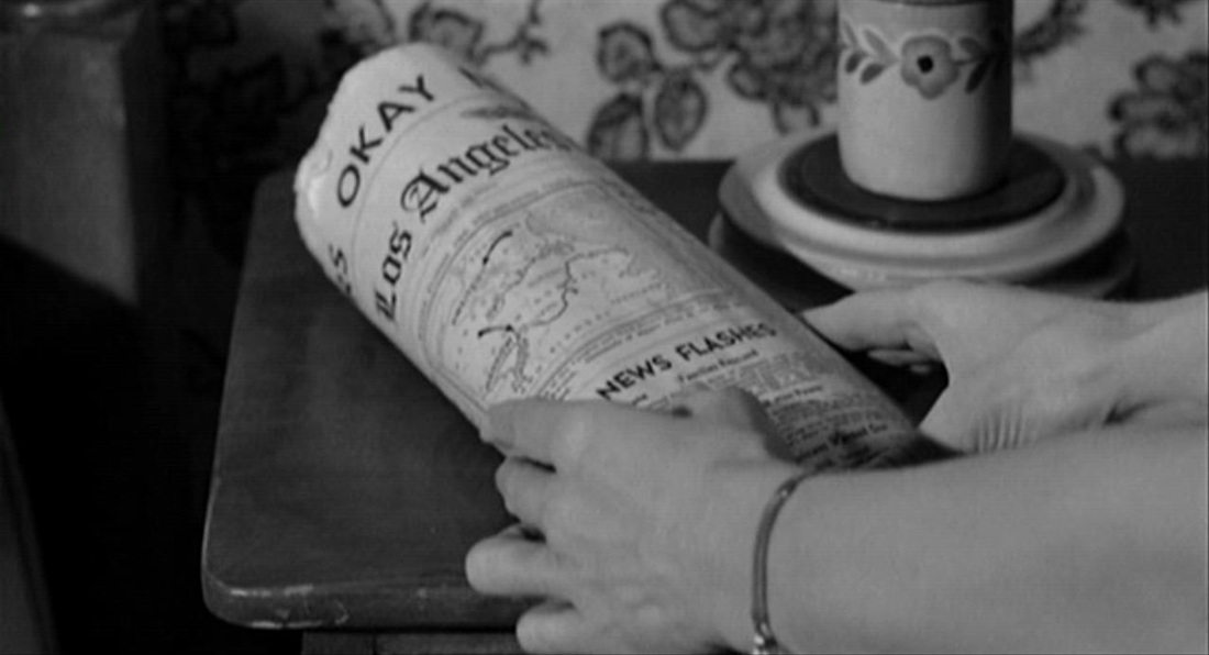 Though the lines of the map are distinct, I cannot identify the locale: possibly it relates to the headline concerning the establishment of a new water district in Los Angeles (though it appears to represent an eastern coastline). Since, anyway, the newspaper is a fictional construct, its headline and illustrations can have been assembled from very disparate sources. Our gaze is constantly returning to this map, not for its topographical interest but because Marion wraps the money in it. The next map is a globe, a familiar type (see the previous entry in this listing), and is here in a familiar setting, as an item in the bric-à-brac of Norman’s room. It signifies only the minimum that globes can signify when attention is not drawn to them by the film (merely pointing to a world beyond the film's locales): 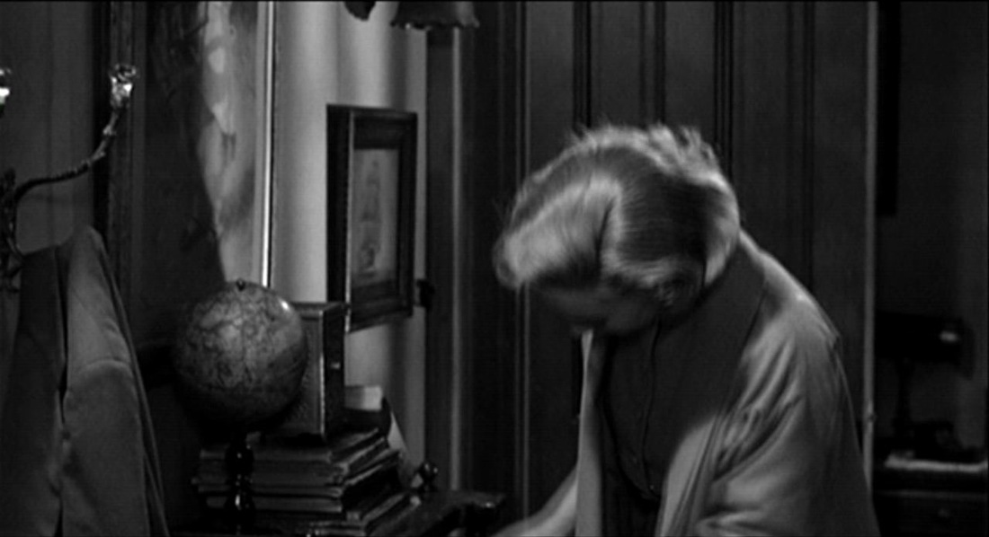 The last map is the most interesting. In the Police Chief’s office, the psychiatrist offers his explanation of Norman’s behaviour. He speaks for five minutes, and for almost all of that time he is standing in front of a map on the wall. There are occasional cuts away for questions and reactions from his audience, but mostly we are looking at the psychiatrist and a map: 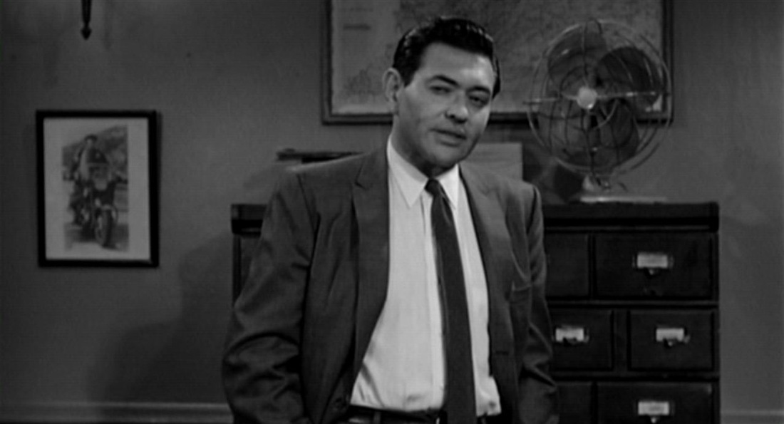 In The Moment of Psycho (2009), David Thomson identifies this as a map of Shasta County, northern California,and demonstrates that this is a feasible location for the town in which the film’s action comes to a close. Psycho has moved from Phoenix, a real place rendered with a panoramic view and identified in screentext: 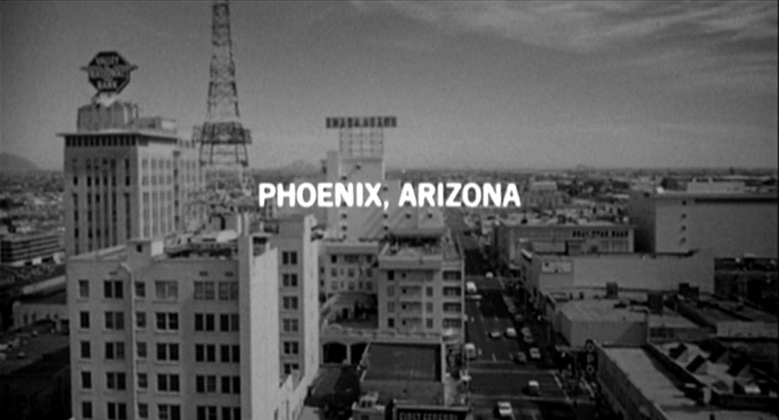 to ‘Fairvale’, a fiction confected on the studio lot. Though the map is not easily decipherable, it is peculiar that the film here undermines earlier efforts to detach the town from topographical reality, though perhaps only Shasta County residents would have recognised the place on the map from this closer detail:  Detachment from exact reality is the dominant note here. The film had began with chronological exactitude on Friday December 11th (1959): 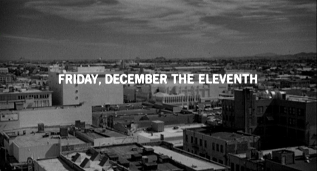  carrying over to the murder of Marion on Saturday the 12th. Arbogast’s investigation then stretches vaguely over the following week, until he is murdered on Saturday the 19th. Things come to a head on the Sunday, and the closing scene at the county courthouse seems to take place that evening. No dates are specified, but a calendar in the office reads ‘17’: 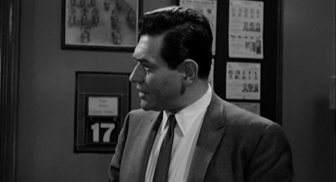 meaning either that the Police Chief's calendar has not been changed since the preceding Thursday, or that the film is no longer concerned with being exact ('It's tough keeping track of the time', had said Norman).
This would harmonise with the view (presented by David Thomson) that the ‘psychological explanation’ is itself at some remove from exact reality -- that Hitchcock was ‘pulling our leg’. (an occasional feature in which I post all of the maps visible in a particular film) Diva is en eminently mappable film, with its spread of locations across Paris and its recurrent journeys through the city (by métro, moped, car and on foot), but it is not a film interested in displaying maps of its territory. And that despite there being visible in this film a total of eleven different maps, if we include two limit cases: the linear diagram of a train line and the schematic terrain of an arcade game. The first of these, at the Gare Saint Lazare, features in a compositional contrast of horizontal and vertical, as the camera moves up an escalator towards the map stretching across the top of the screen, revealing more of the map as it advances: 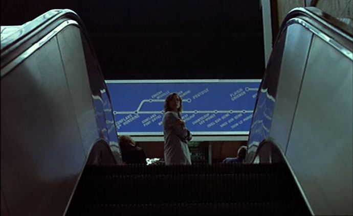 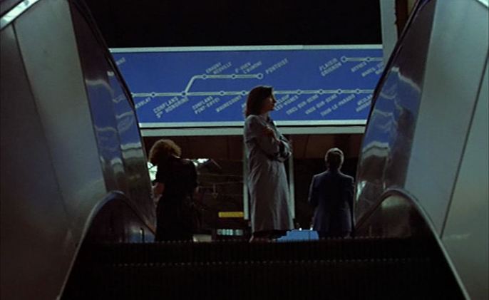 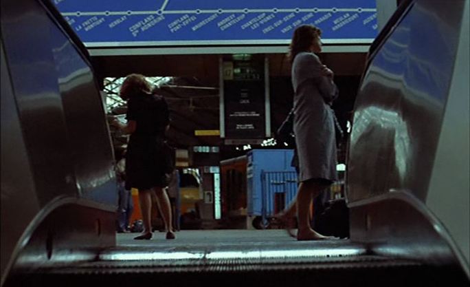 The other limit case is from the 1977 Sega game 'Heli-Shooter': 'enemy territory is visible below with airports, harbors and structures dotting the landscape' (as described in Sega's publicity material): 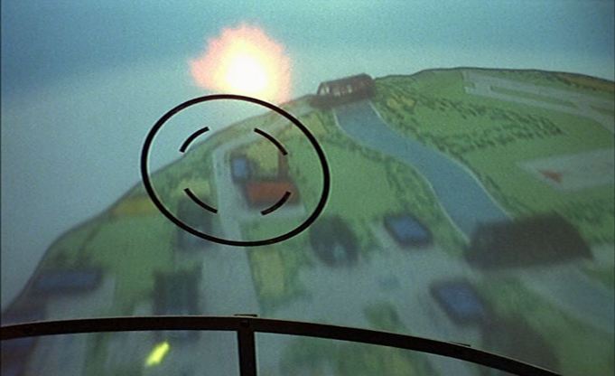 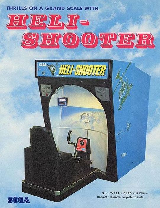 Between these extremes the maps in the film are more conventional. Two (or perhaps the same map twice) are part of the establishing decor in a police station (for examples from other French police stations see here): 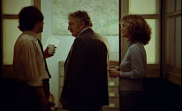  Another type of map in the film is the plan of a building, shown here as establishing decor. This type is often displayed in films where a building's specific layout is foregrounded, as in heist films (see here for a different application of this type):  Five of the maps in Diva are directly associated with the film's famous use of the métro as location. Three are seen on the platform in passing as a policeman chases the protagonist onto and off a train: 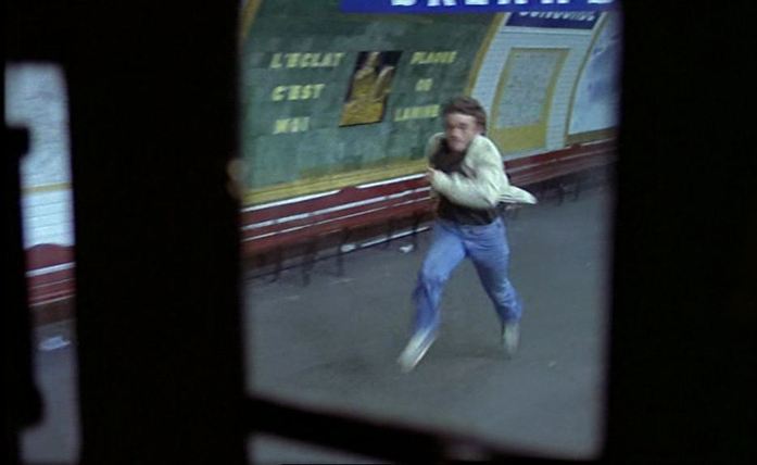 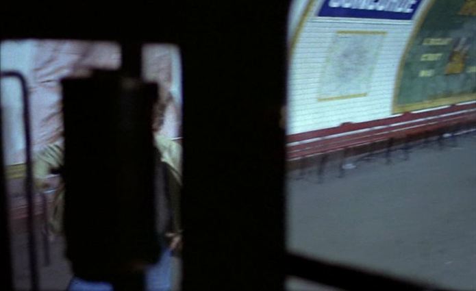  These are maps of the métro and of the wider Parisian transport network (including overground trains and buses). Two maps are visible in the same shot in the métro station's ticket hall, one being the distinctive journey-planner map with electric lights indicating routes (see here and here for better views from other films), and the other is the map of the local area above ground:  None of these maps is foregrounded, and it would be difficult to thematise from this recurring motif other than to highlight the film's visualisation of Paris as a succession of spectacular views, rather than as a topographical construct (compare with Rivette's Le Pont du nord, from the same year). The last map in Diva, symptomatically, is perhaps not a map at all. I am guessing that the rectangular thing pinned to the wall in this apartment is a map, but visually it is just a blank, an unreadable gap in a space otherwise loaded with readable signs:  (See here for the two 'blowup' moments in Diva. See below for Paris as a succession of spectacular views)  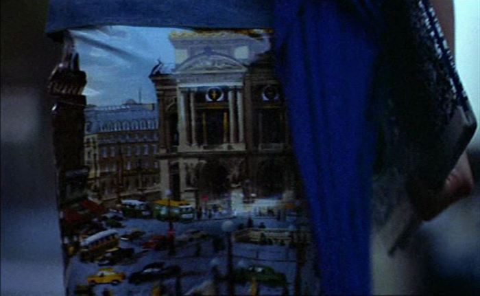 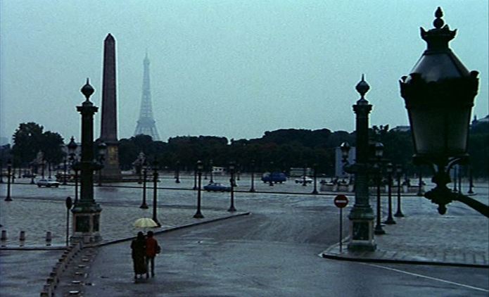 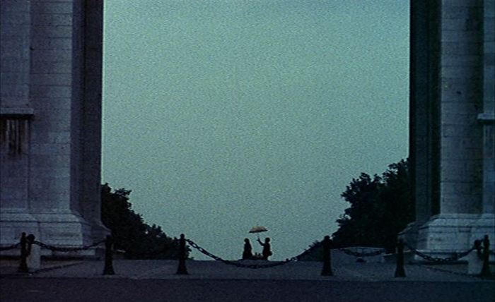 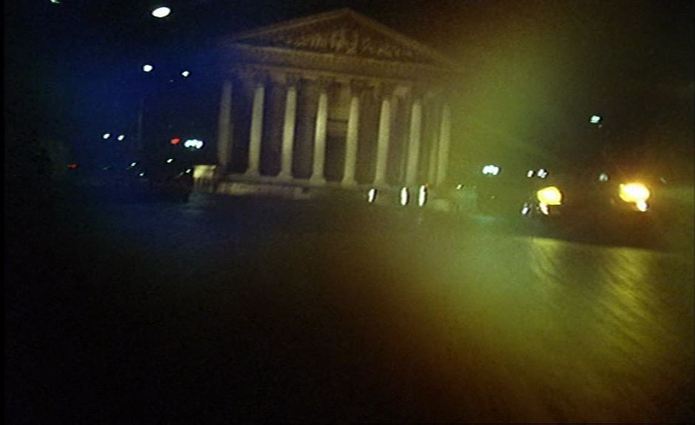   71/ Cosa avete fatto a Solange? [What You Done To Solange] (Massimo Dallamano 1972): London17/6/2011 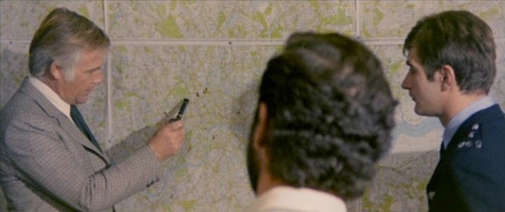 'In an essay on cinematic mapping, Tom Conley has suggested that the sight in a film of a geographical map, "which refers to the real world, complicates the imaginary space of the diegesis as well as the space in which spectatorial subjectivication takes place". What is a complication for the spectator positioned vis-à-vis the imaginary space of the narrative is, however, for the spectator who has already abandoned imaginary spaces for the real world of street names and postcodes, a spectacular sanction. He can, for example, enjoy the solecism when the detective in What Have You Done With Solange? points on a map to the positions for a stake out of, according to the narrative, Battersea Park, South London, but actually is pointing to Regent's Park, in the North. The space between these two parks is, for the map-reading ciné-tourist, the space of spectatorial subjectivication.'
[In the published version of this piece I had to my shame identified Regent's Park as Hampstead Heath: ‘London Circa Sixty Six: the Map of the Film’, in Gail Cunningham and Stephen Barber (eds), London Eyes: Reflections in Text and Image (Oxford: Berghahn, 2008), p.163.]  The police station is the other of the two settings in which a map in a film is most likely to be found. This is the earliest example I know of a map in such a setting, though the map is of the whole country rather than - as it will almost always be thereafter - of the city in which the action plays out. Below are some later illustrations from French police stations, all of them maps of the city or the immediate region. 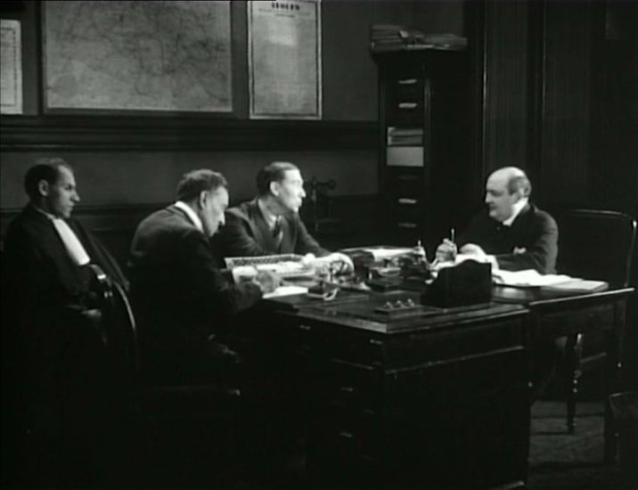 La Chienne (Jean Renoir 1931) 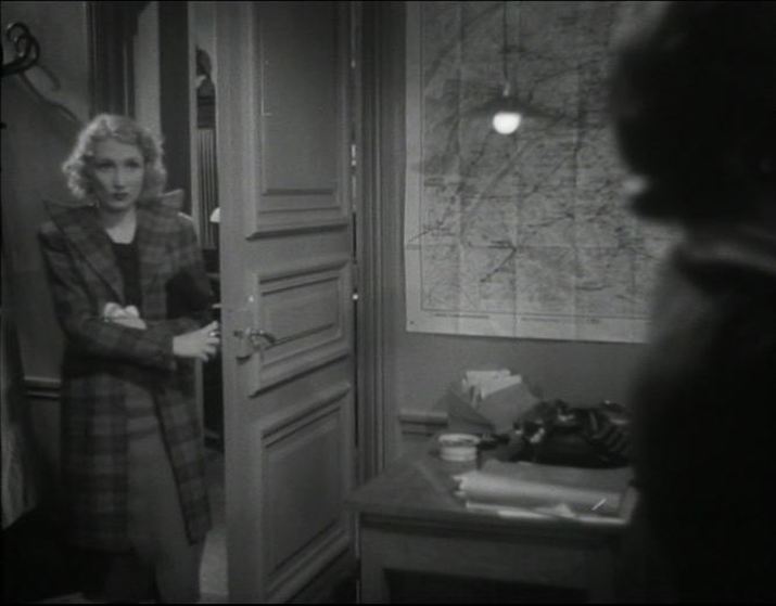 L’Alibi (Pierre Chenal 1937)  Monsieur Verdoux (Charles Chaplin 1947)  Casque d'or (Jacques Becker 1952) 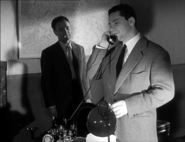 Bob le flambeur (Jean-Pierre Melville 1955) 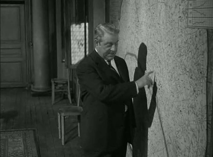 Maigret tend un piège (Jean Delannoy 1958)  Pickpocket (Robert Bresson 1959) 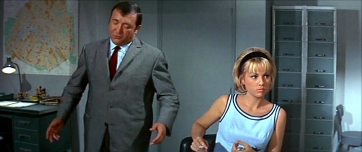 Fantômas (André Hunebelle 1964) 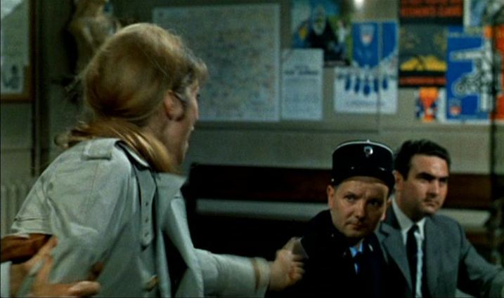 Tante Zita (Robert Enrico 1968) 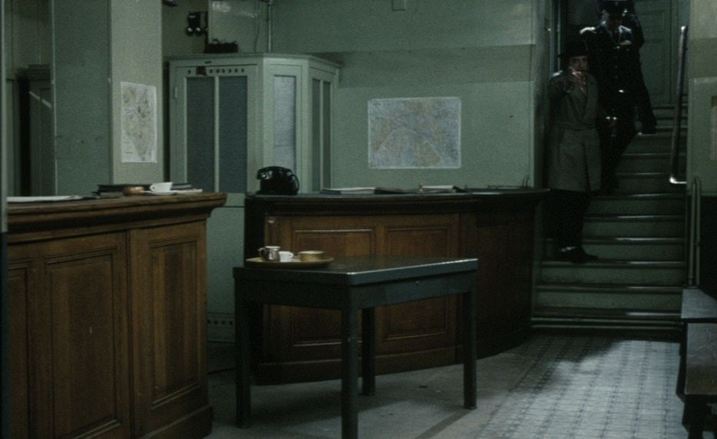 Papa les petits bateaux (Nelly Kaplan 1971) 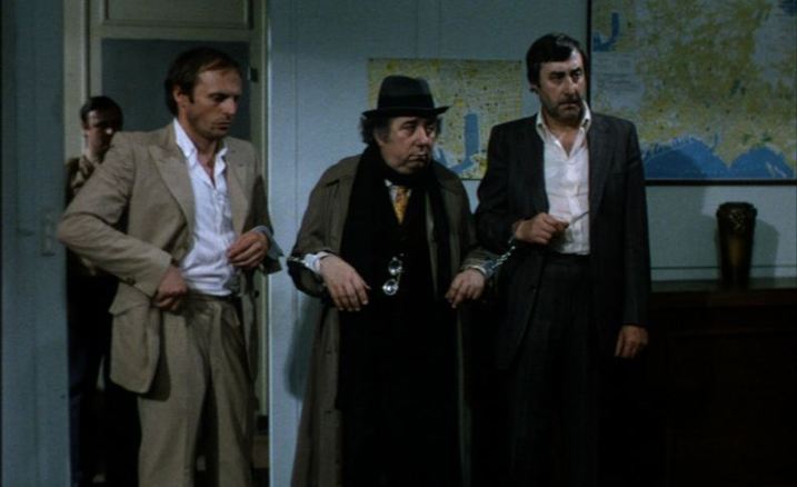 Charles et Lucie (Nelly Kaplan 1979): Marseille 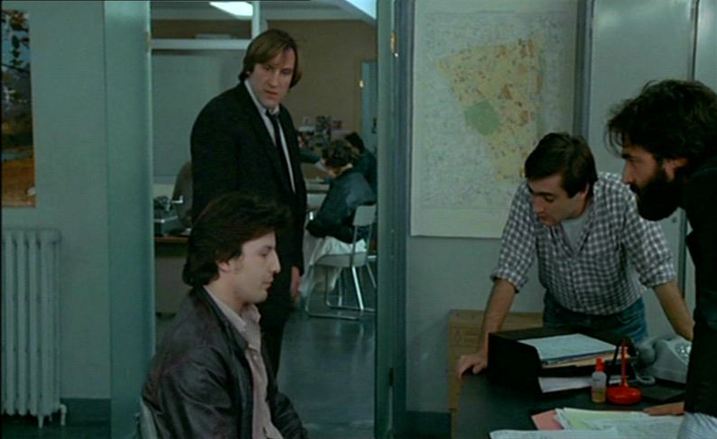 Police (Maurice Pialat 1985) 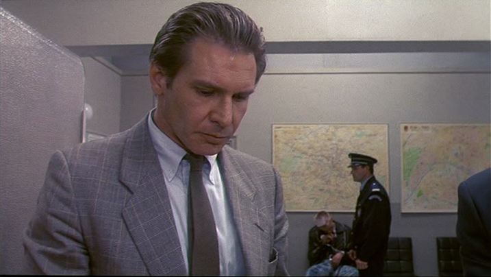 Frantic (Roman Polanski 1988)  Douce France (Malik Chibane 1995)  Les Témoins (André Téchiné 2007)    ‘Memory, too, is a topos in its own right: it is a place we revisit, or to which we are transported; it is the road we travel along and also the destination of our memory-journey. To this extent, memory not only has a topography, it is a topography; and the site of production of place-memories is the lived body, the body which traces out the scenes of memory. Memory, in this view, is at once emplaced and embodied.’ Annette Kuhn, ‘The Scenes of Cinema Memory’, in An Everyday Magic: Cinema and Cultural Memory (London: I.B. Tauris, 2002), pp.16-17.  |