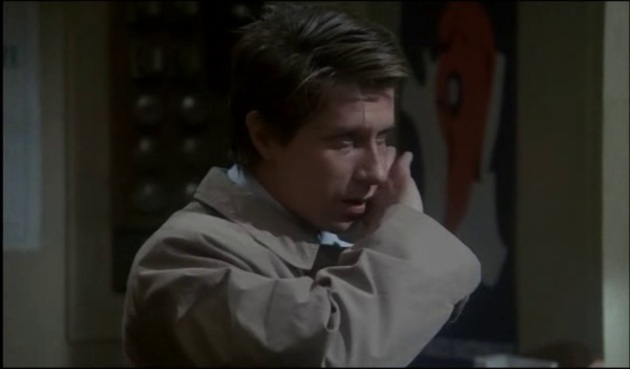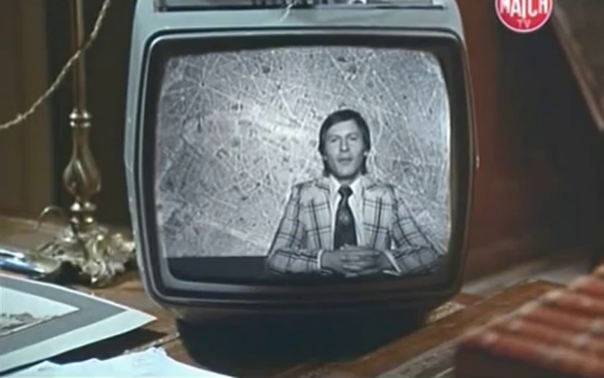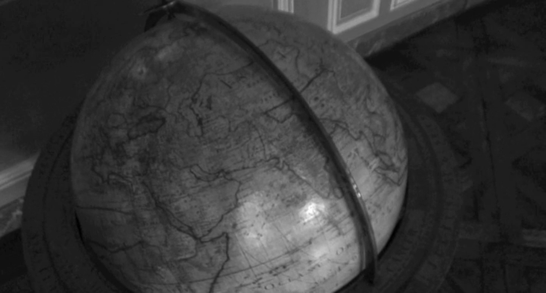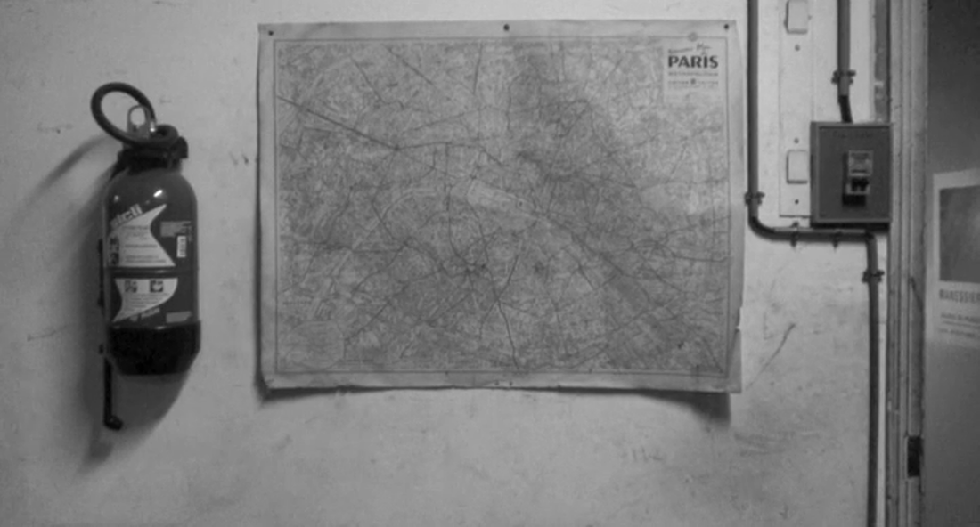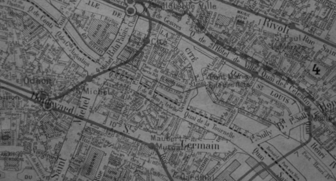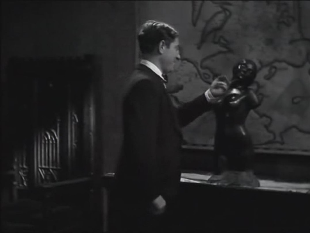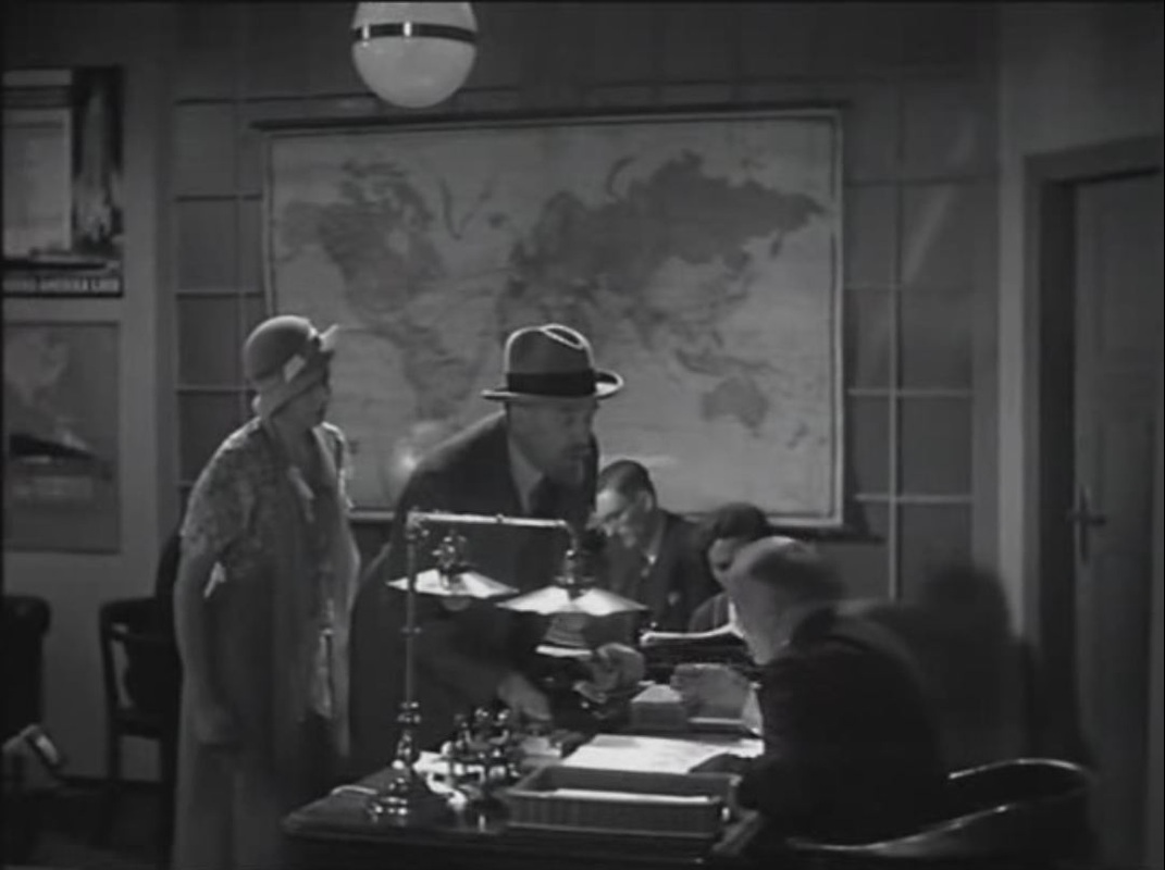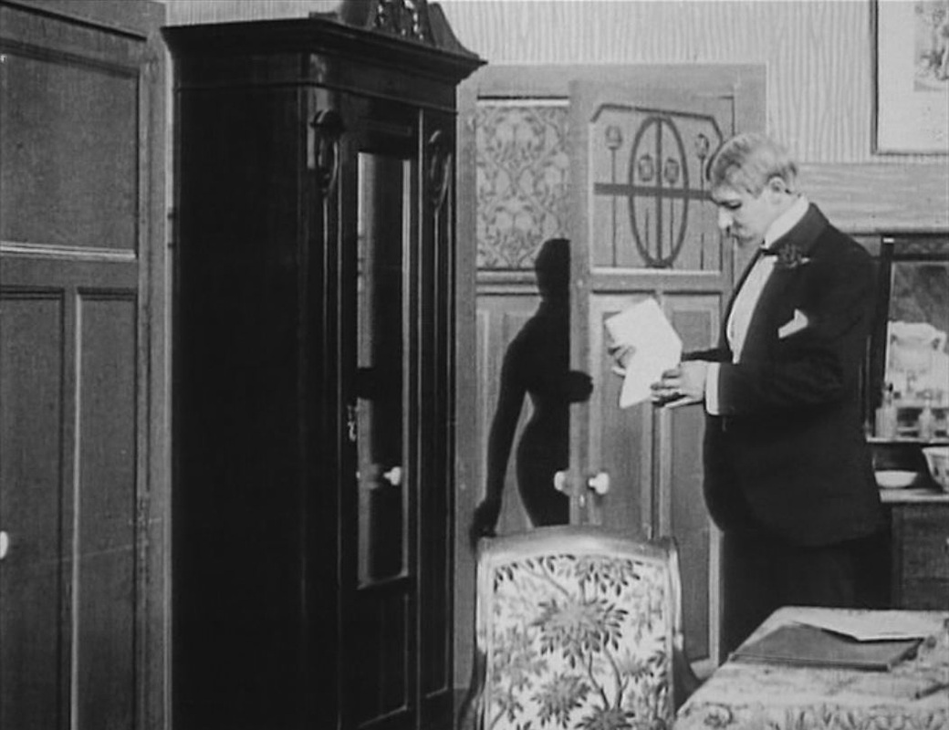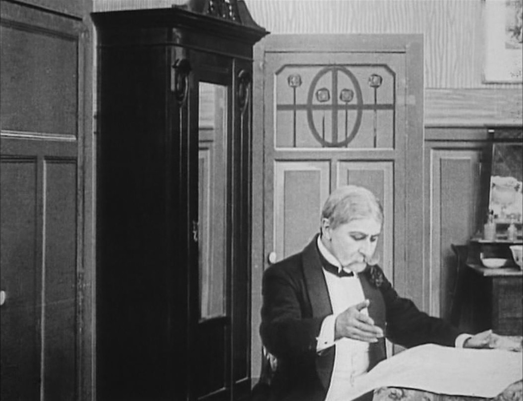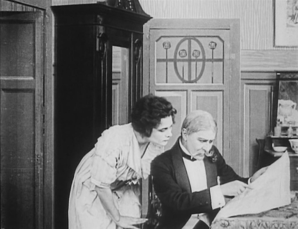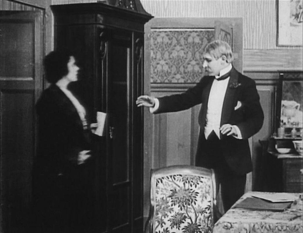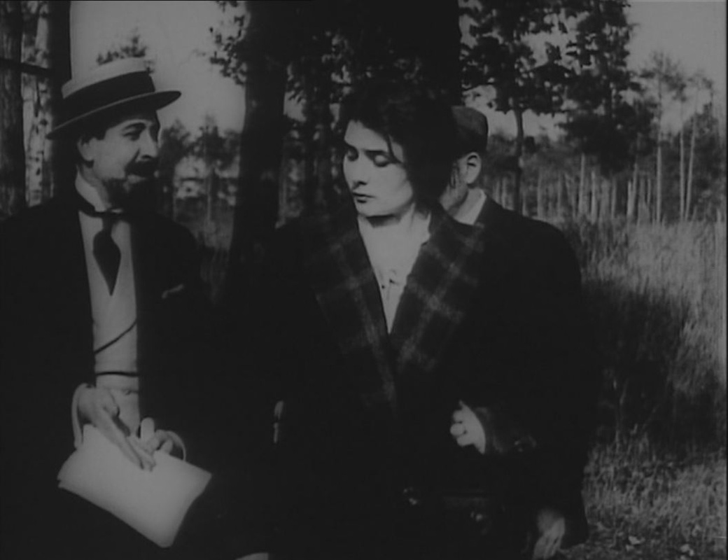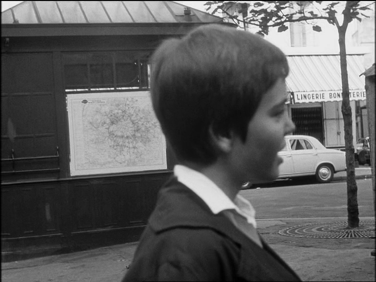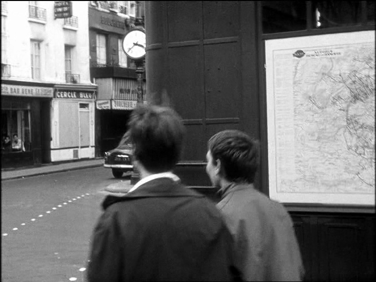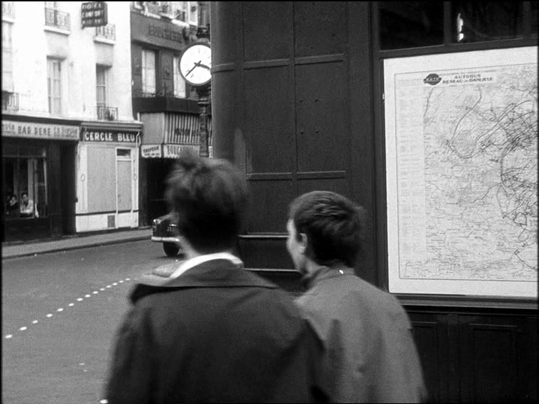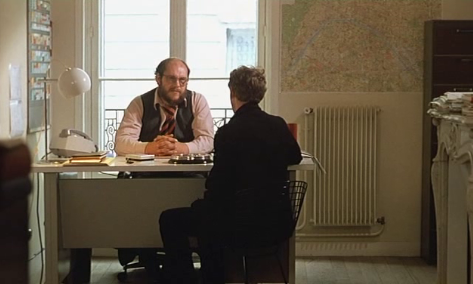
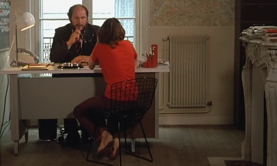

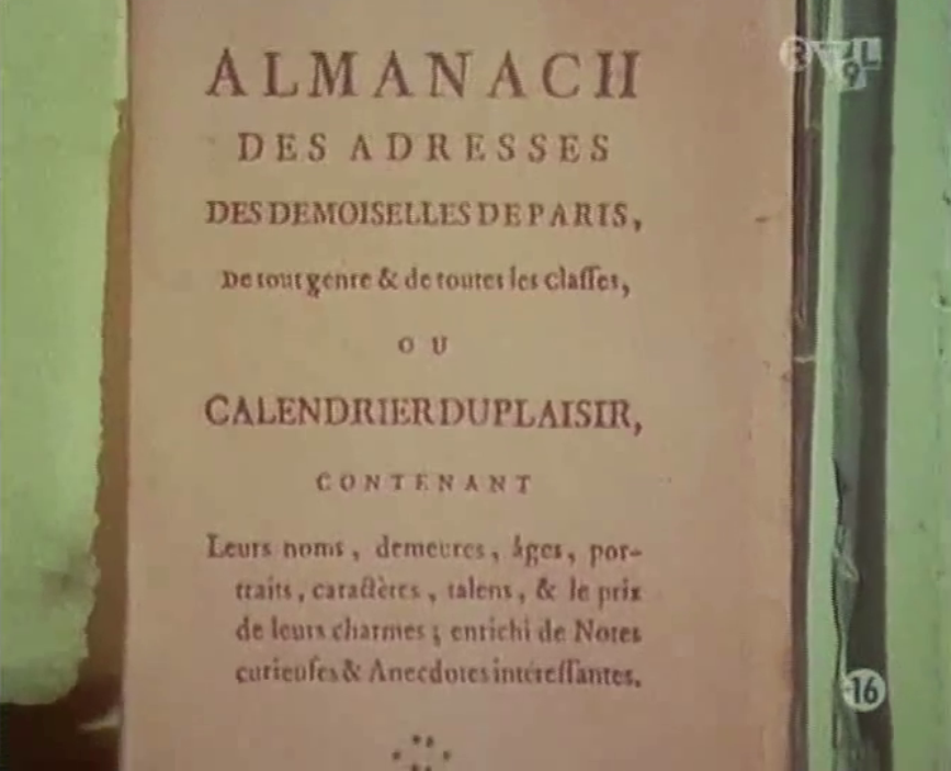
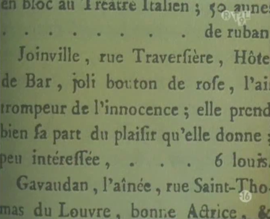
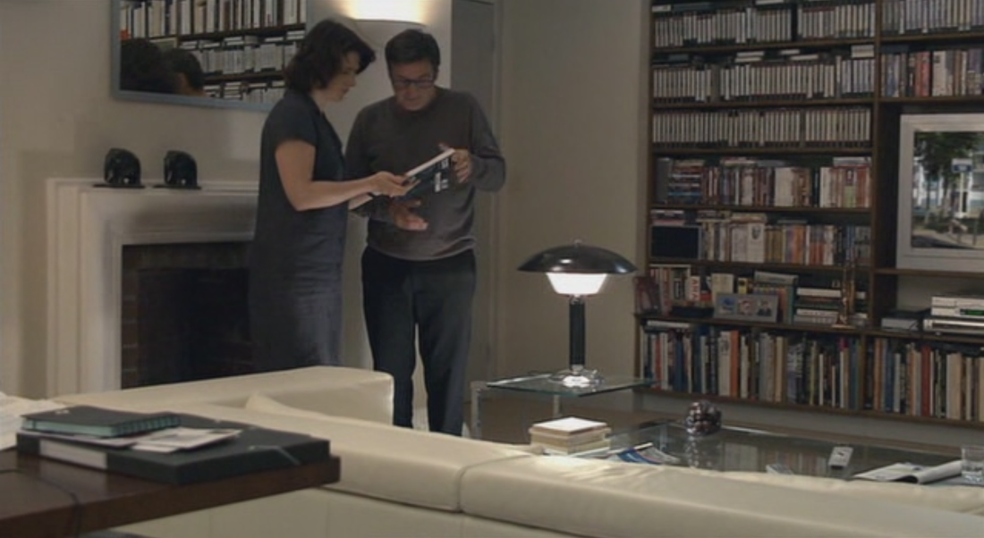
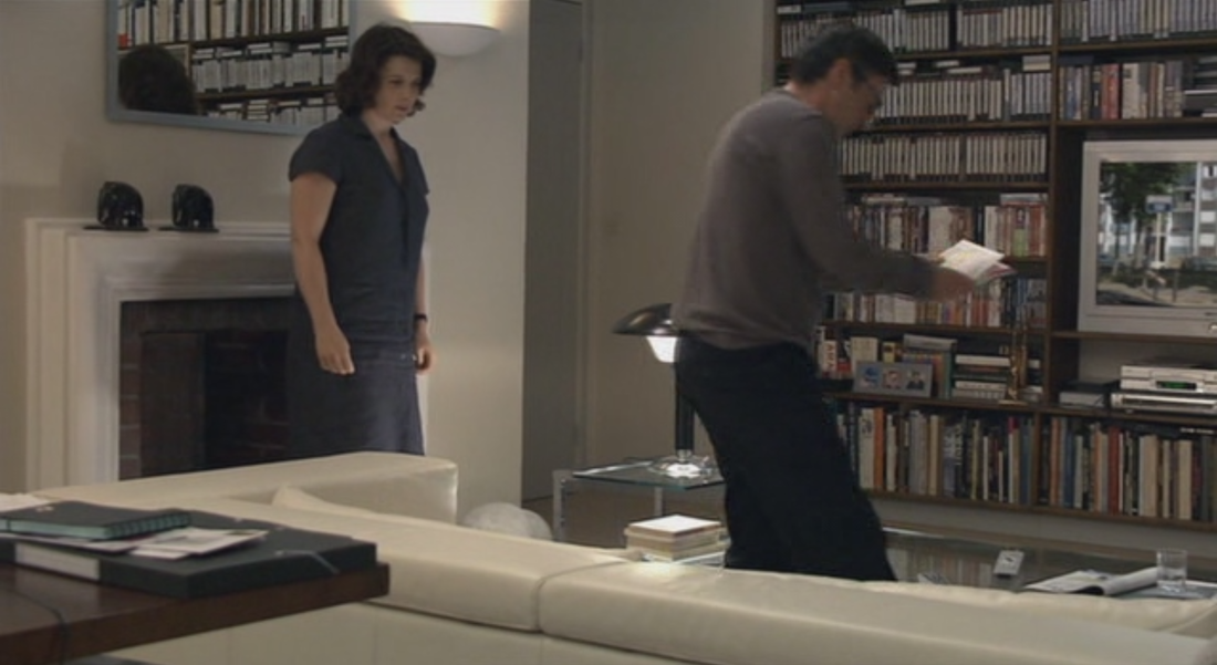
  Anne and Georges consult a street atlas to find the place on the videotape they have received, Avenue Lénine in Romainville. In Romainville Georges goes into the shop at a petrol station. There is a map of the Paris region on the wall: 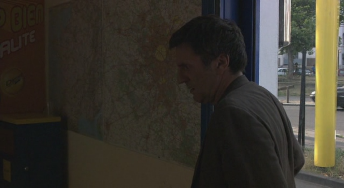 In their home they have a neatly shelved collection of green and yellow Michelin maps: 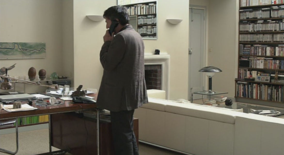 Their son has a world atlas on the table in his room: 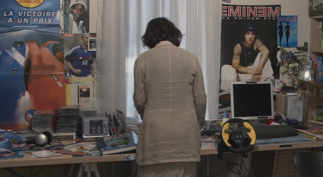 Several maps appear in the television news reports that recur in the film: 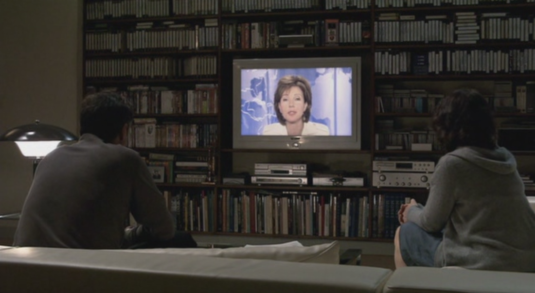  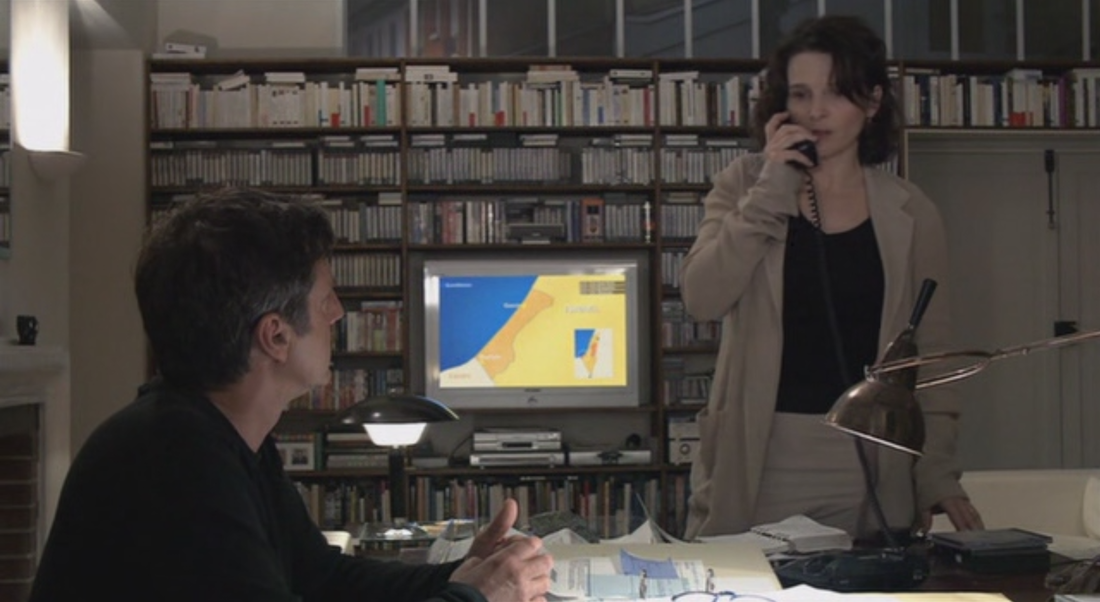 There is a poster representing the Americas on the wall in the editing studio where Georges works: 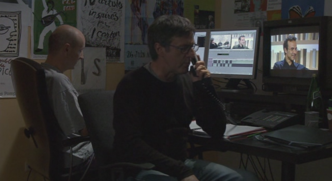 Their bathroom décor appears to include maps, but at this point I may simply have gone map-blind, seeing them here, there and everywhere: 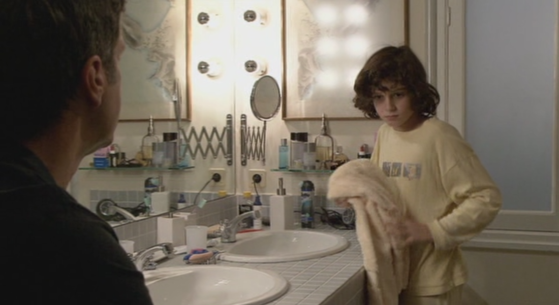  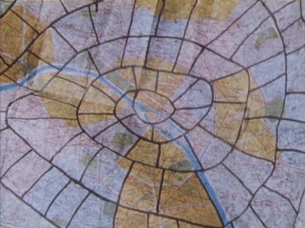 The principal map is of course the map of Paris onto which is drawn a version of the jeu de l'oie. This map has its reverse image in the map of the greater Paris region printed on the reverse, onto which the jeu de l'oie is also, necessarily, imposed: 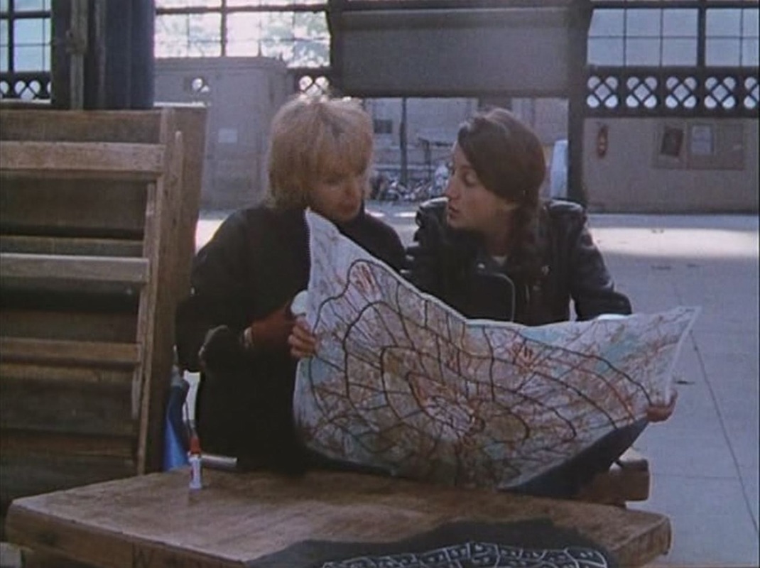 The principal map has as complement a non-map emulating the layout of the jeu del'oie: 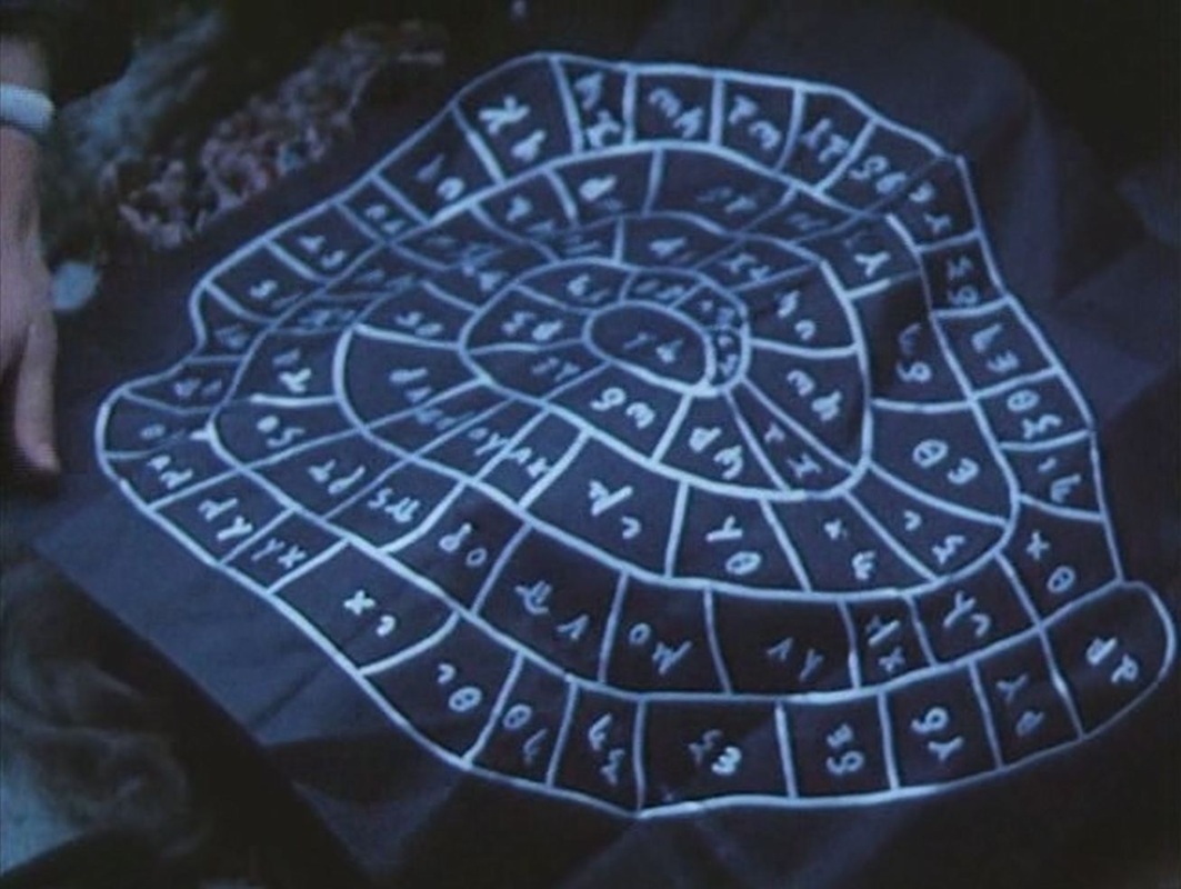 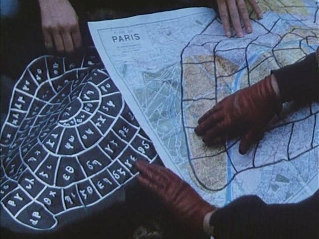 Of the other maps in the film, only one seems to signify - the same large map of the Paris métro, positioned incongruously in two different places: 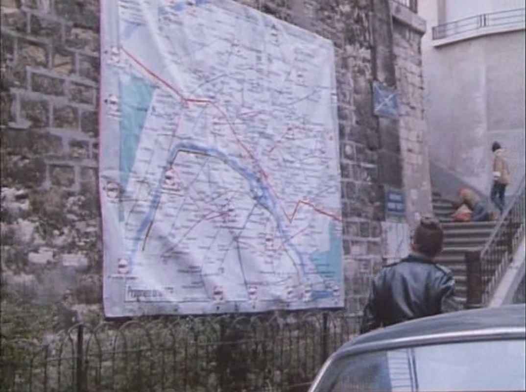 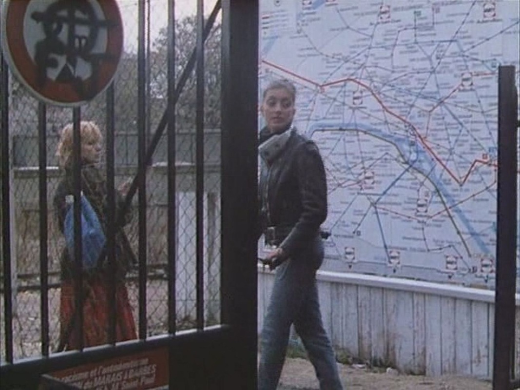 Four other maps are glimpsed in passing:     For details on the places in this film, see here.
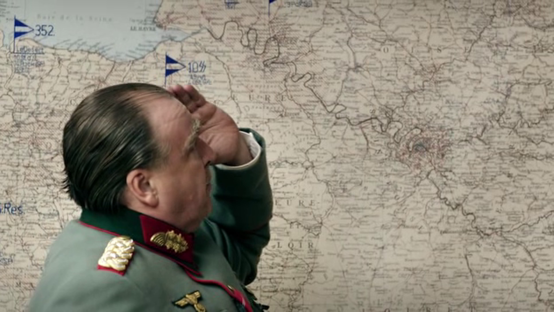
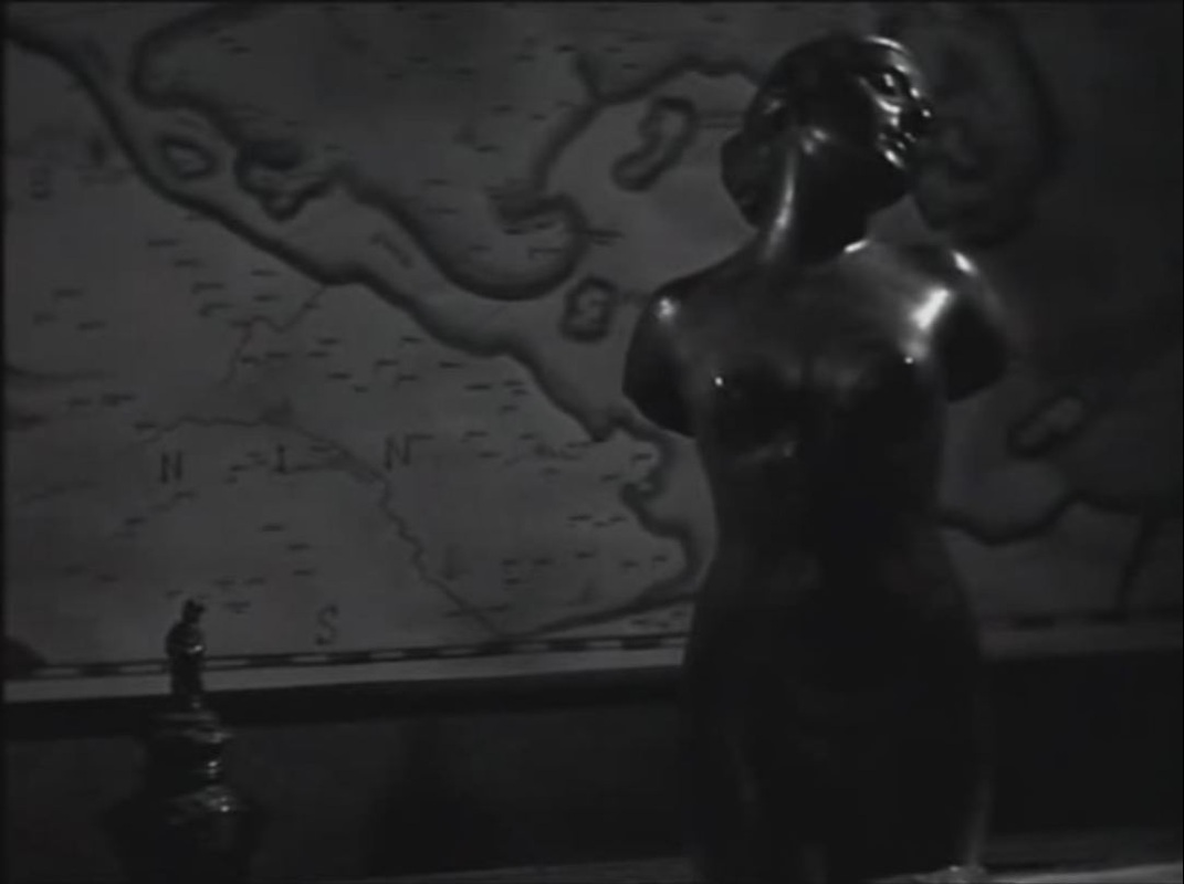
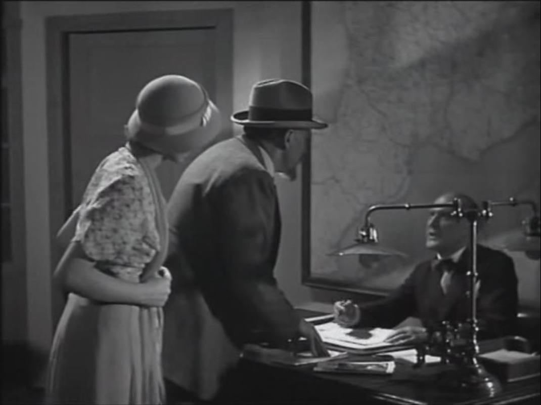
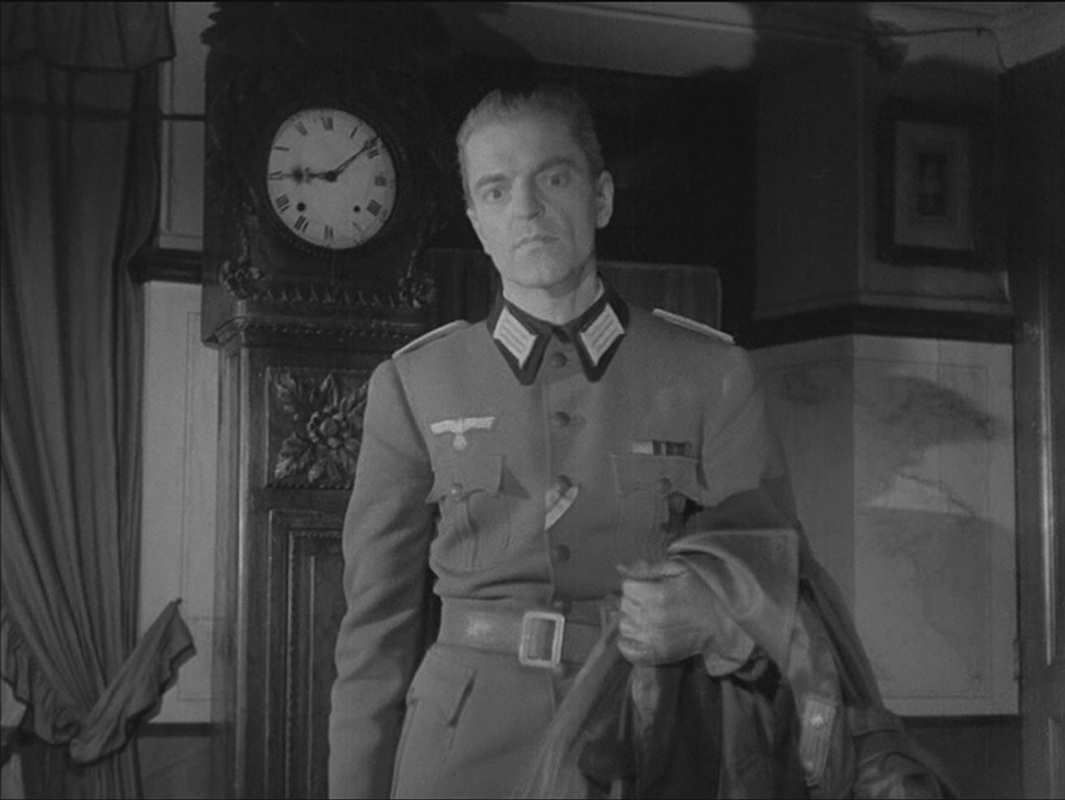
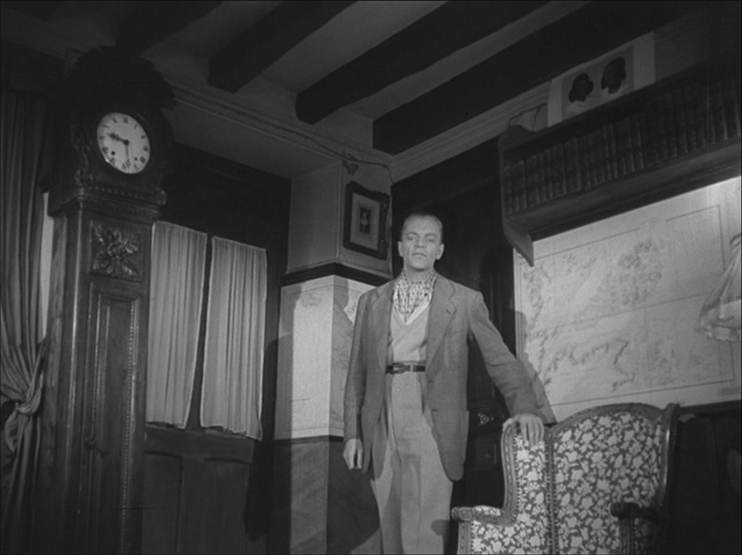
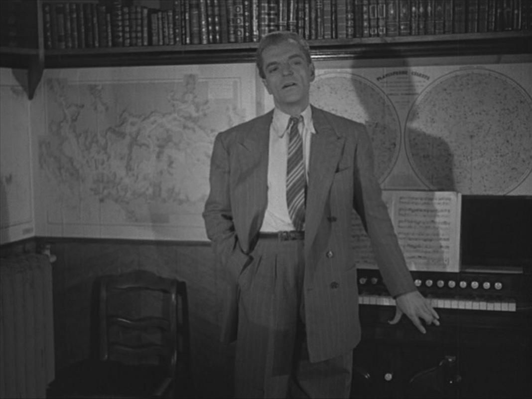
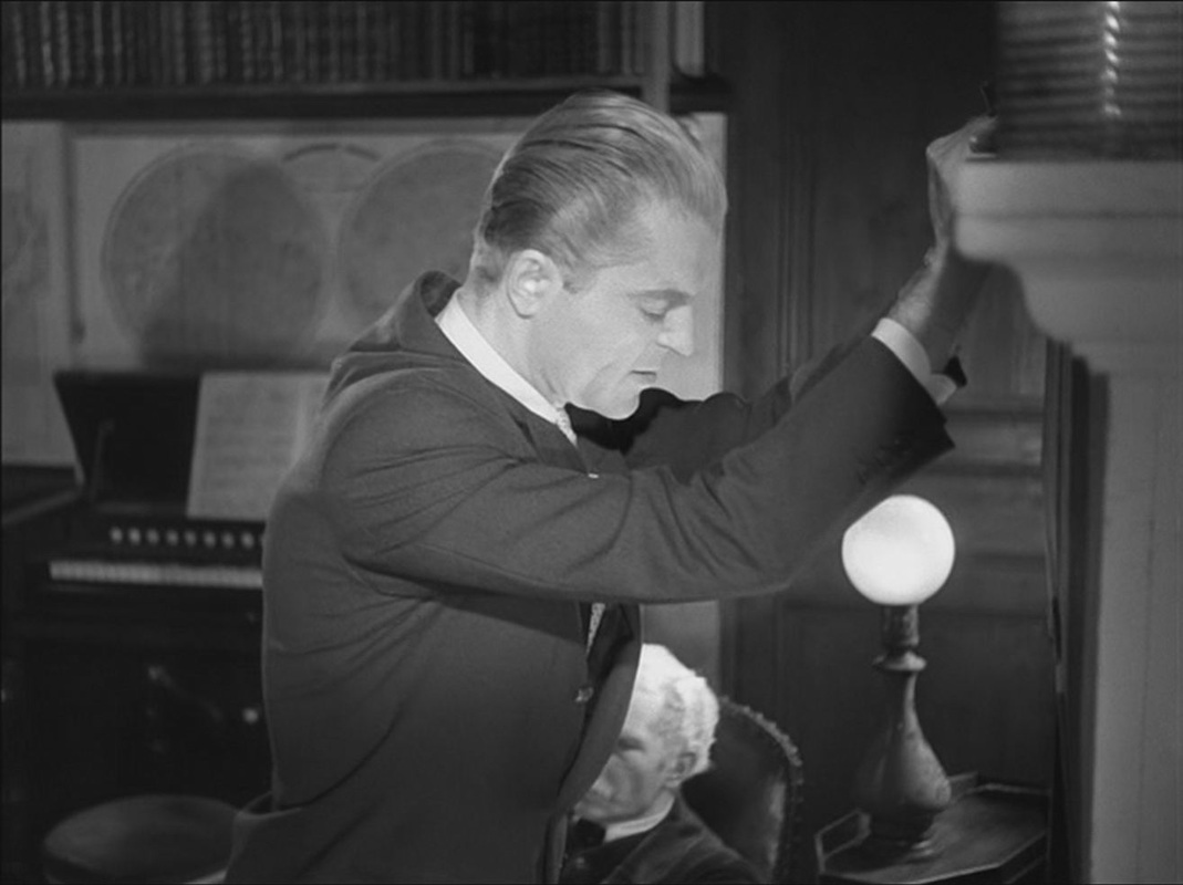
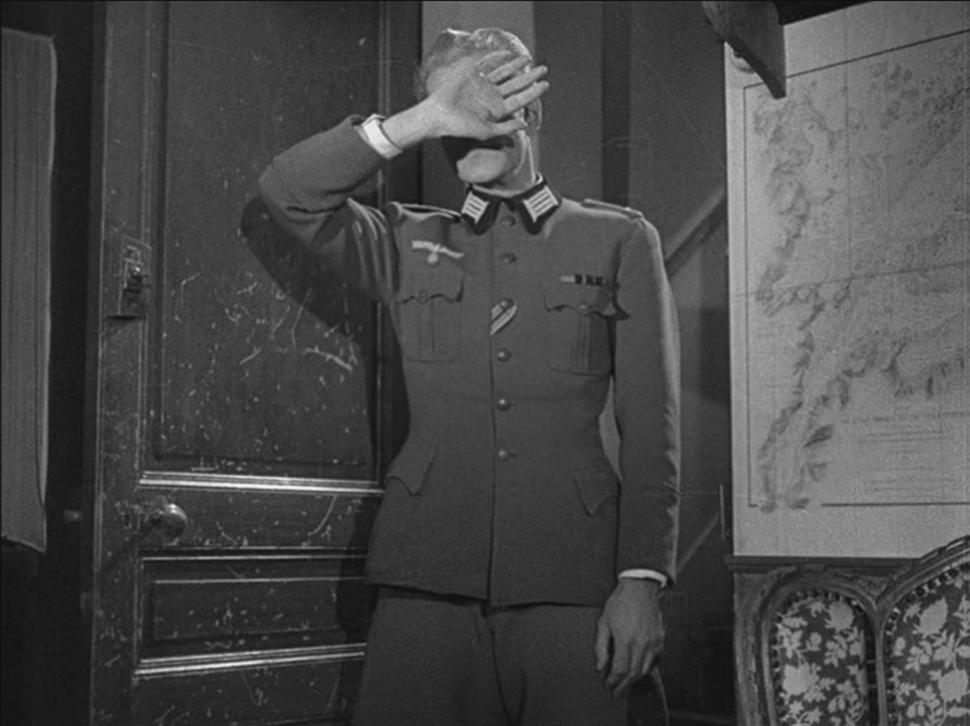
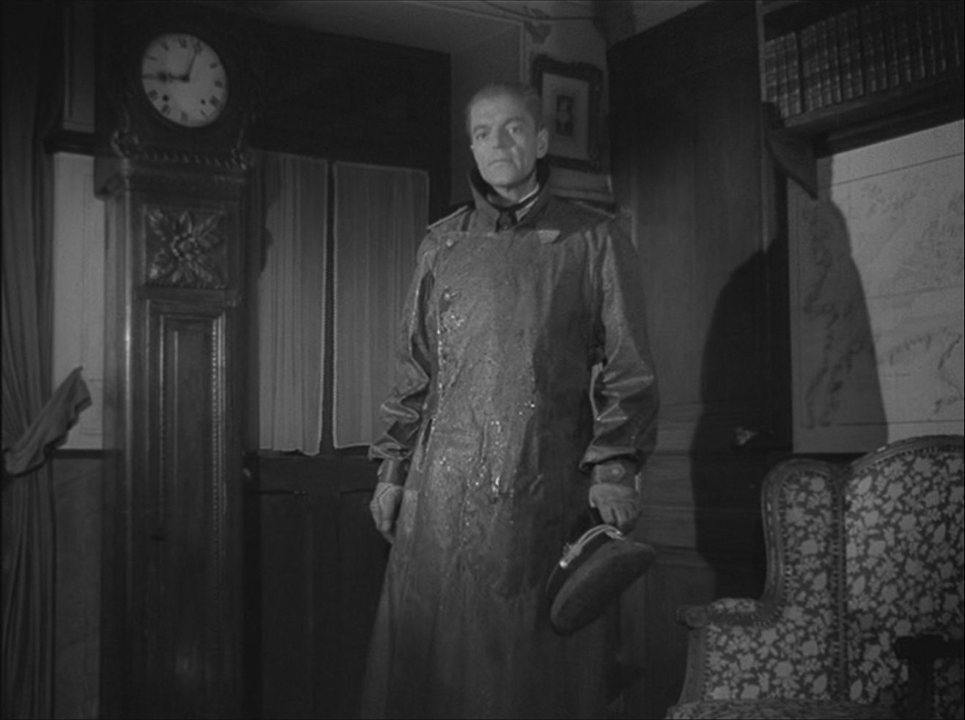
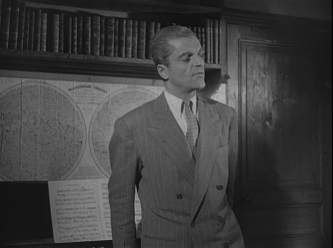
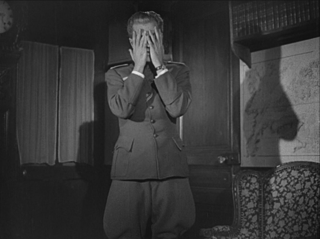
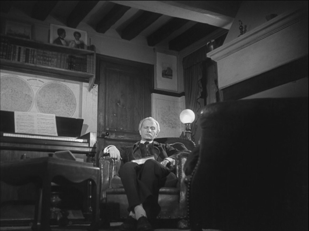
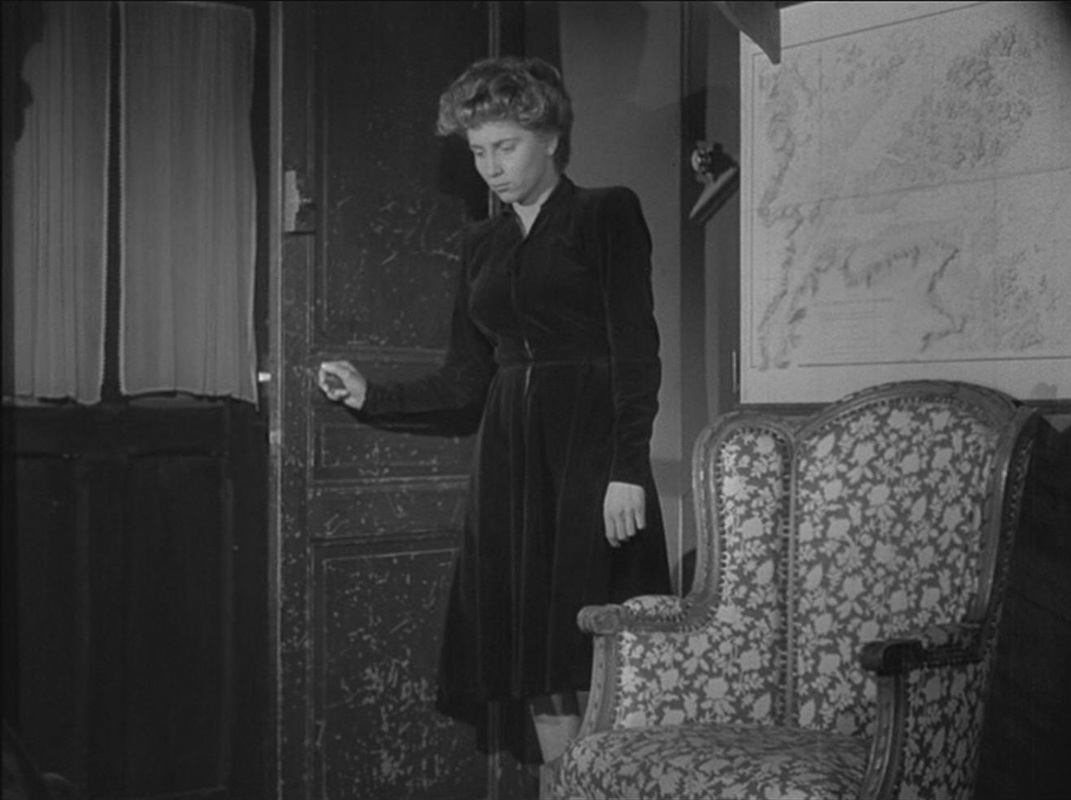
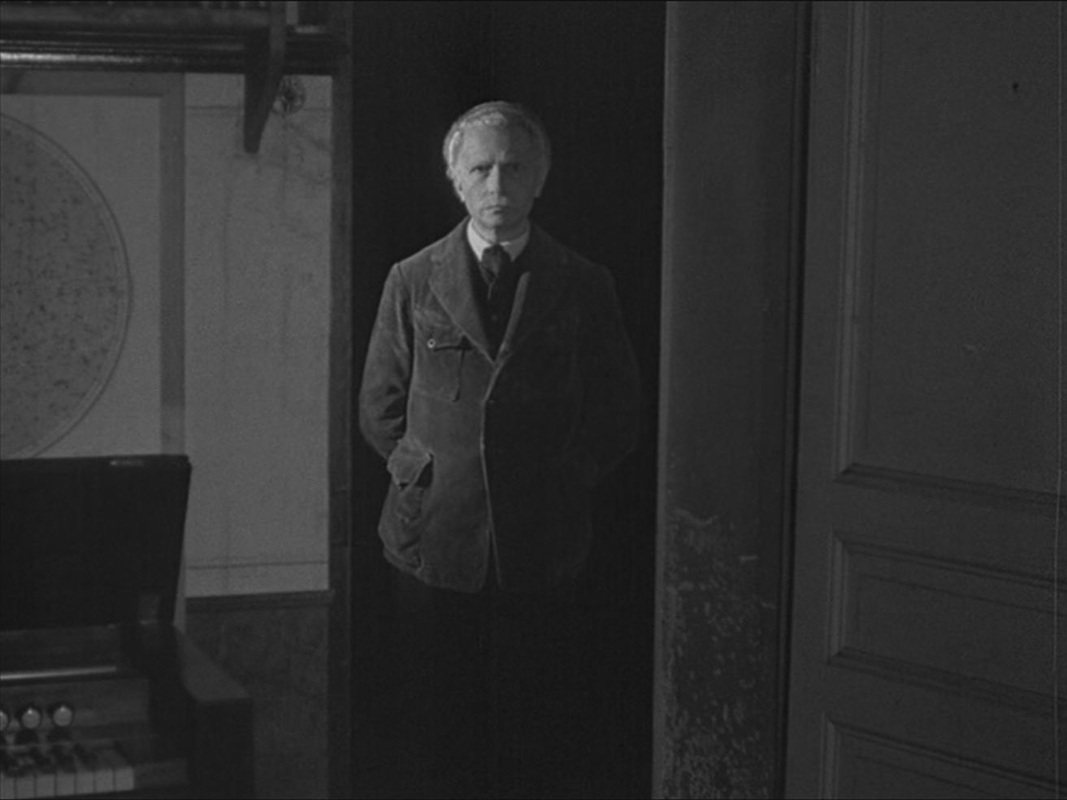
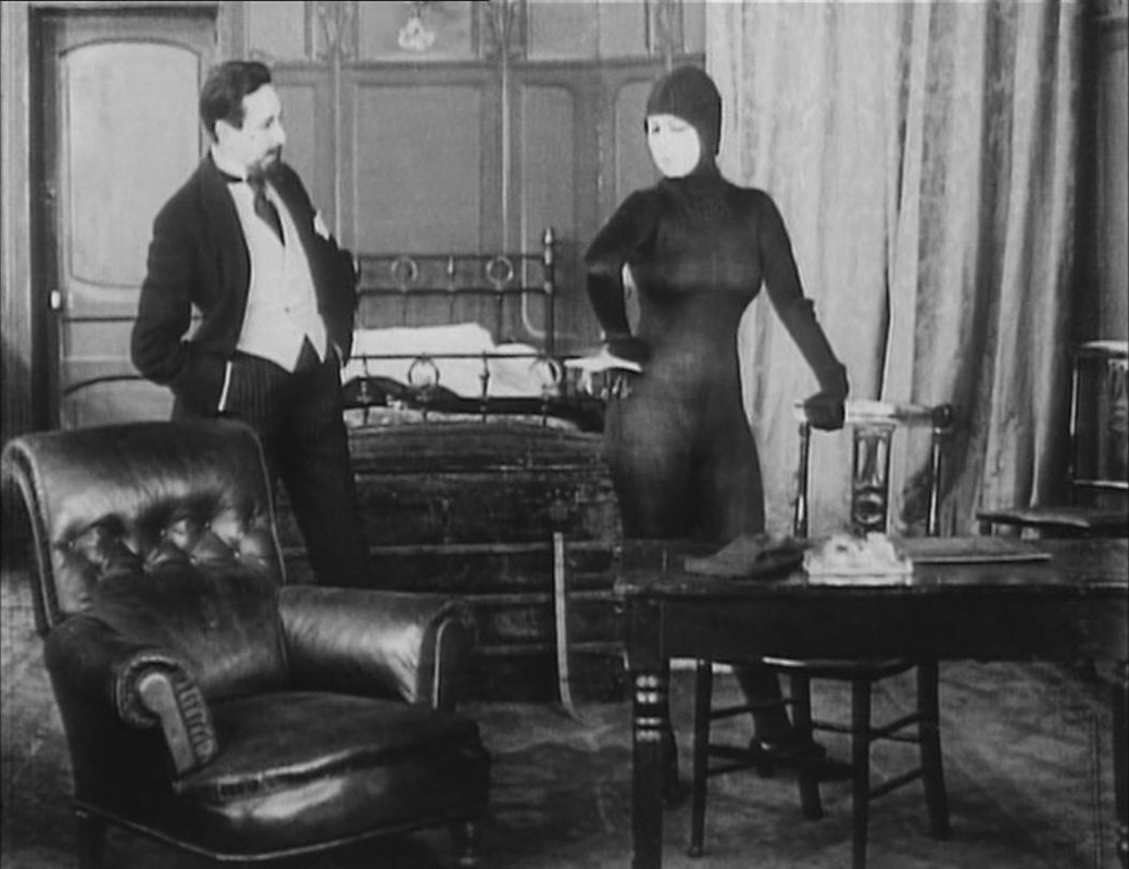
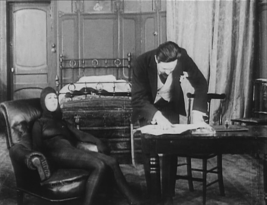
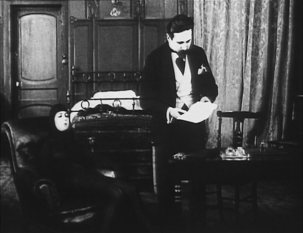
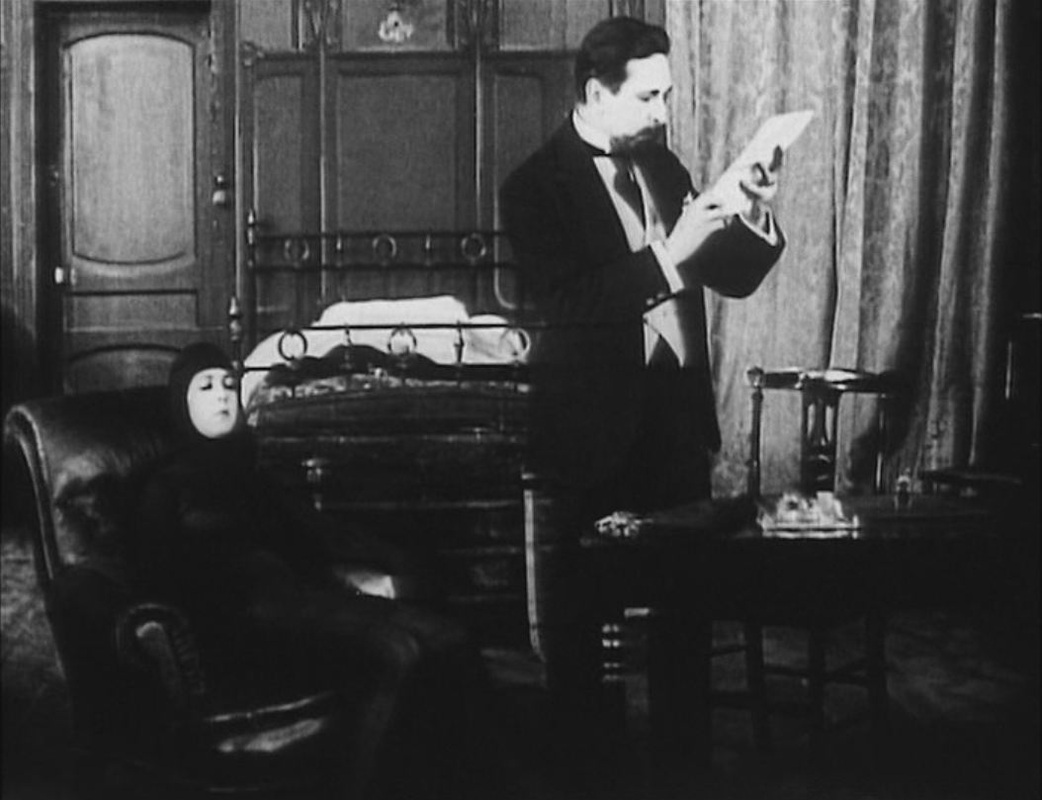
The best thing in an otherwise ordinary film is this simple one-shot device for showing a plane journey from Paris to an outpost in Mali. The other maps in the film are far less interesting: 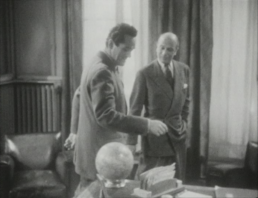 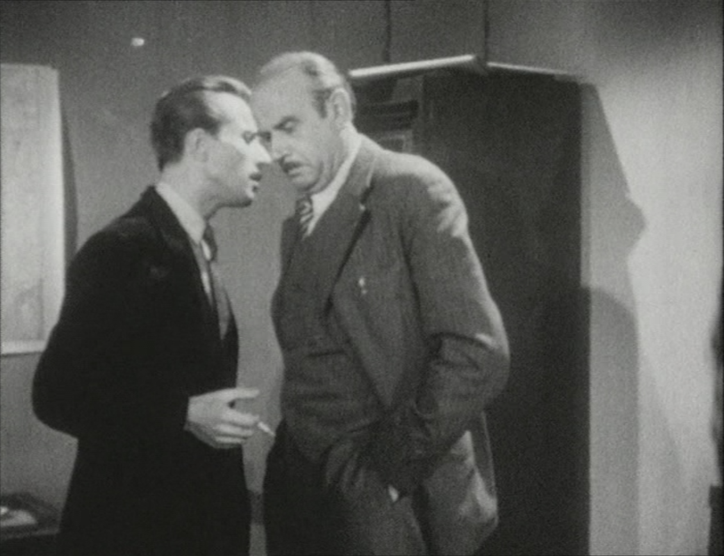 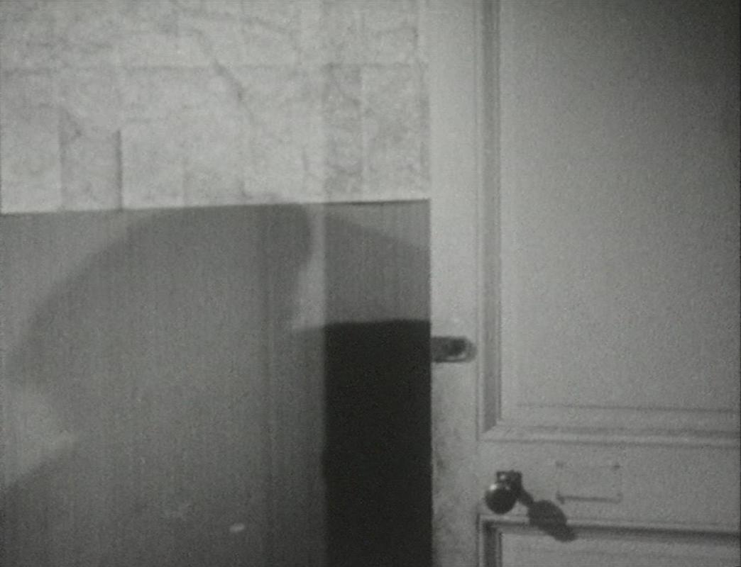 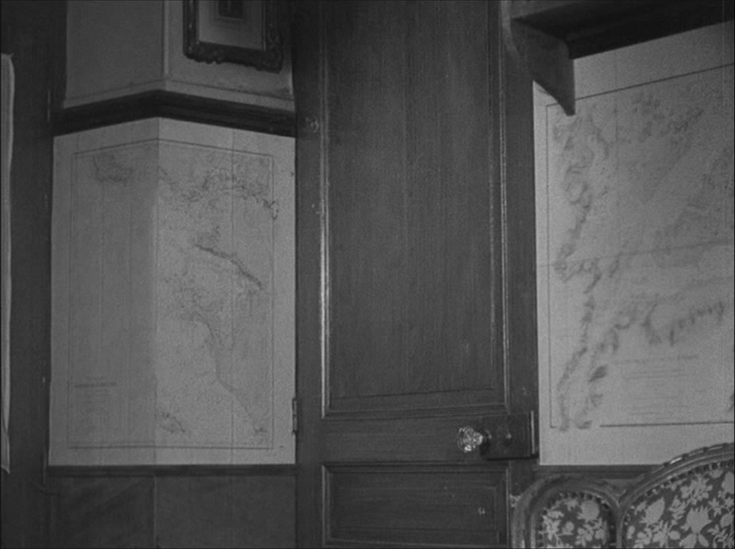 Most of the drama is played out in a single, map-lined room. The film was shot in the home of the author of the book from which it is adapted, and I assume these maps are his. They are used in the film as significant décor, often as a backdrop to the dramatic attitudes assumed by the German officer billeted in this French home:
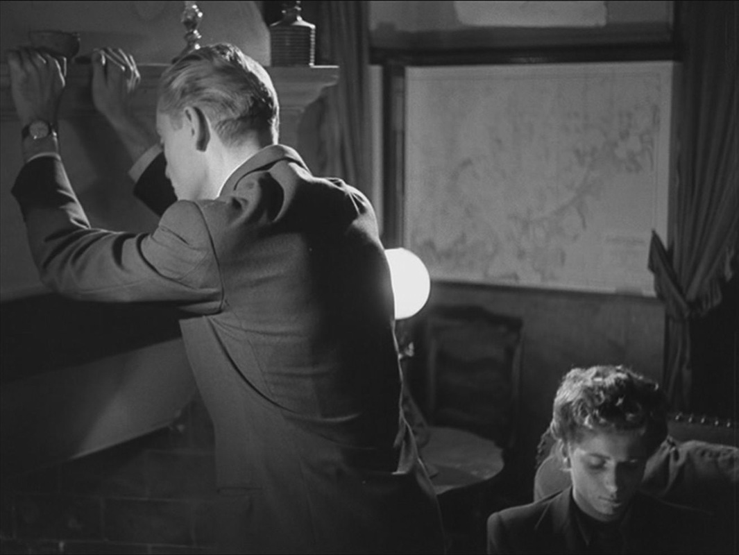
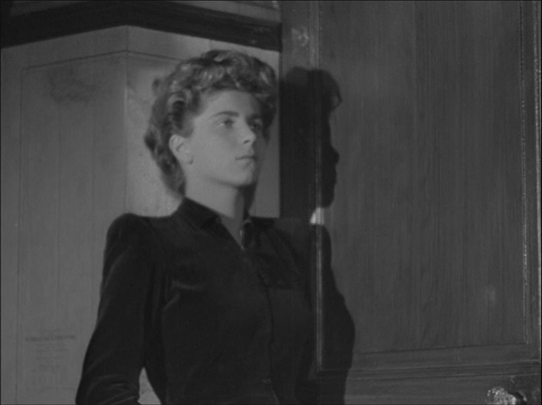
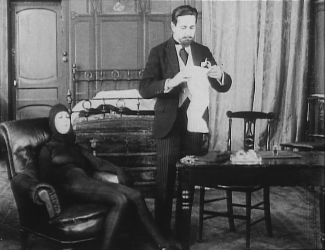
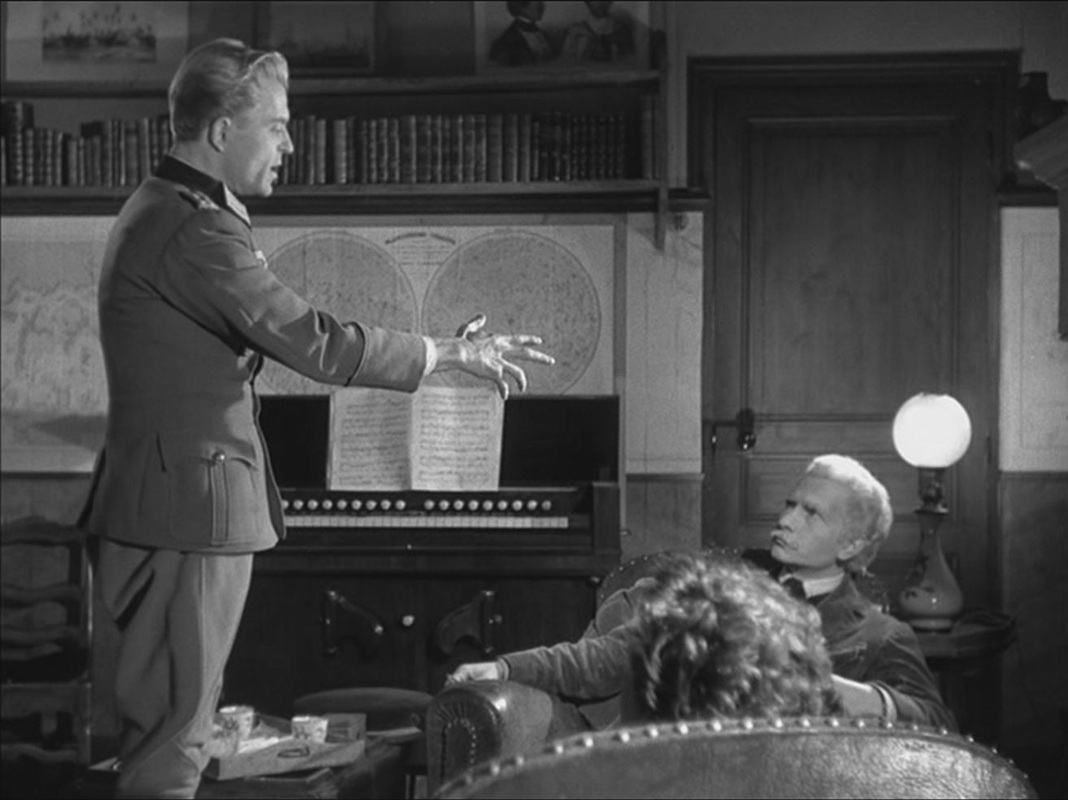  The maps also set off poses adopted by the old man and young woman who live in the house: 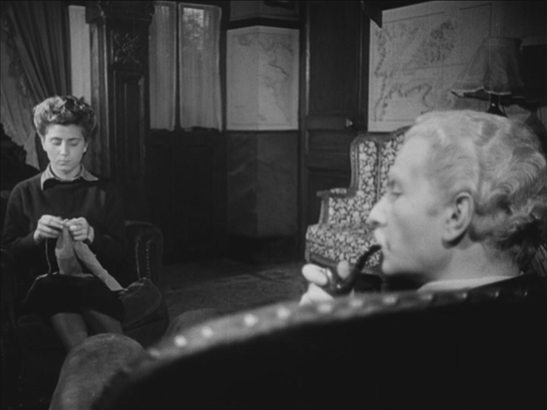
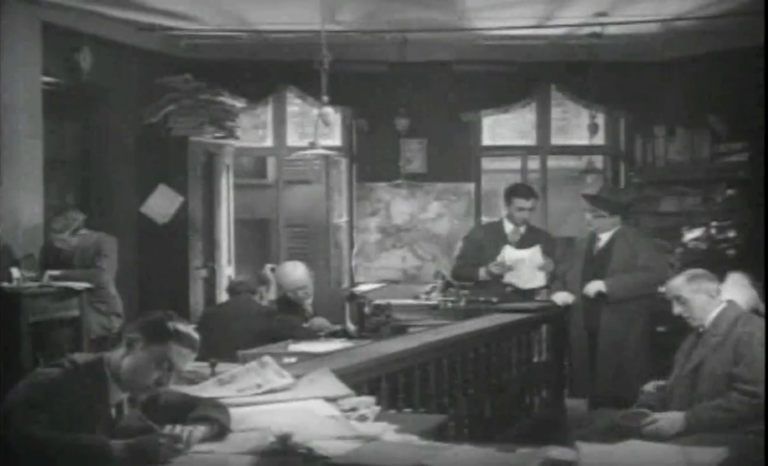
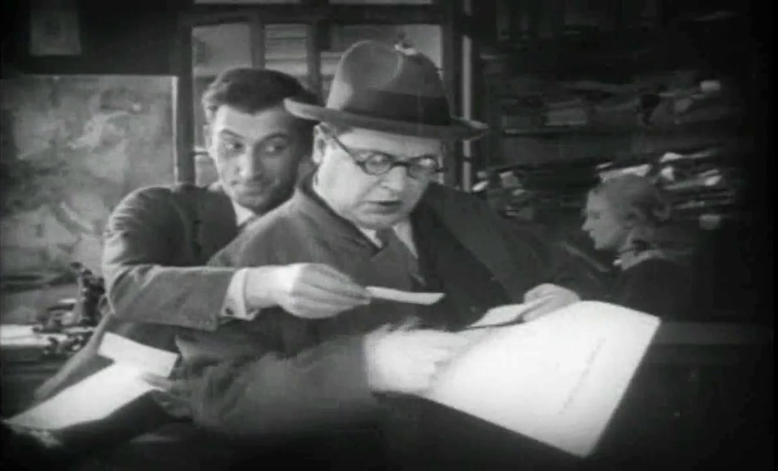
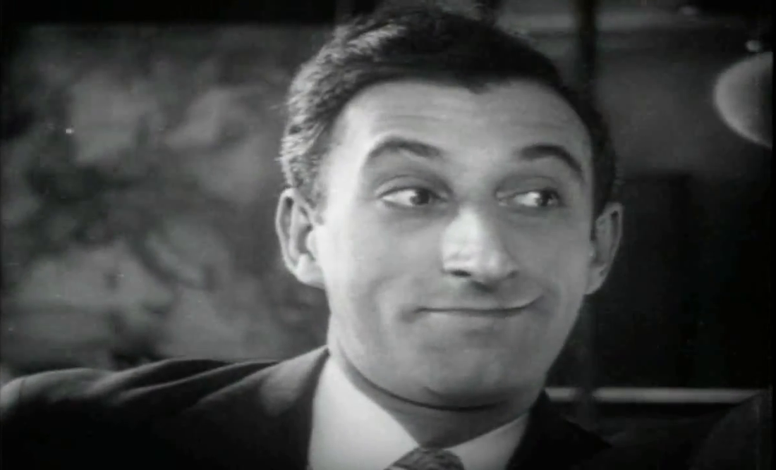
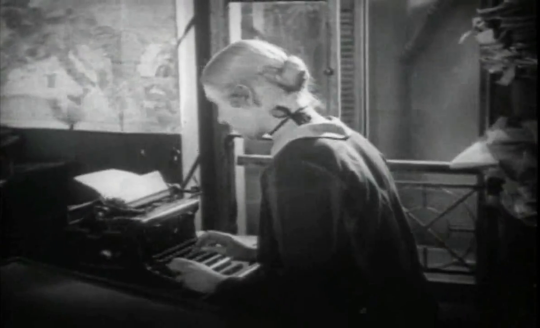
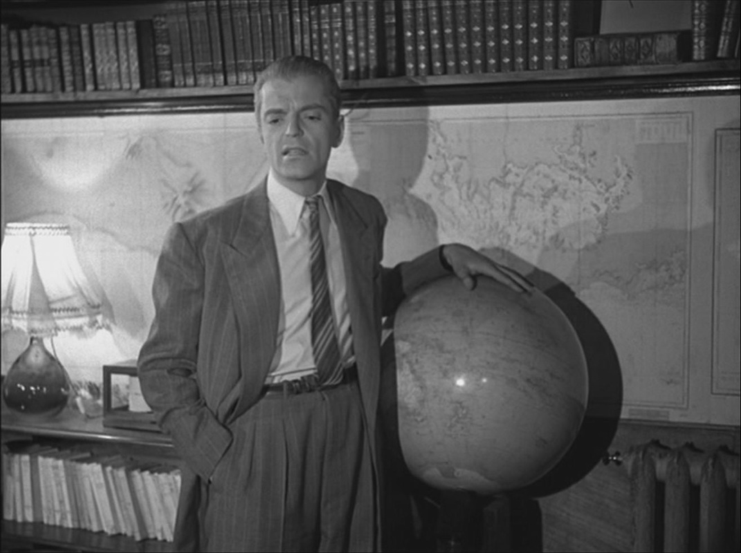
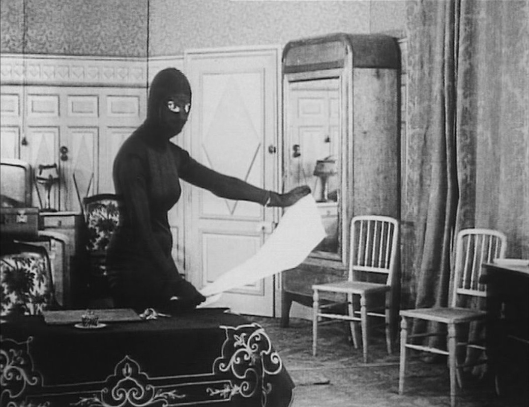
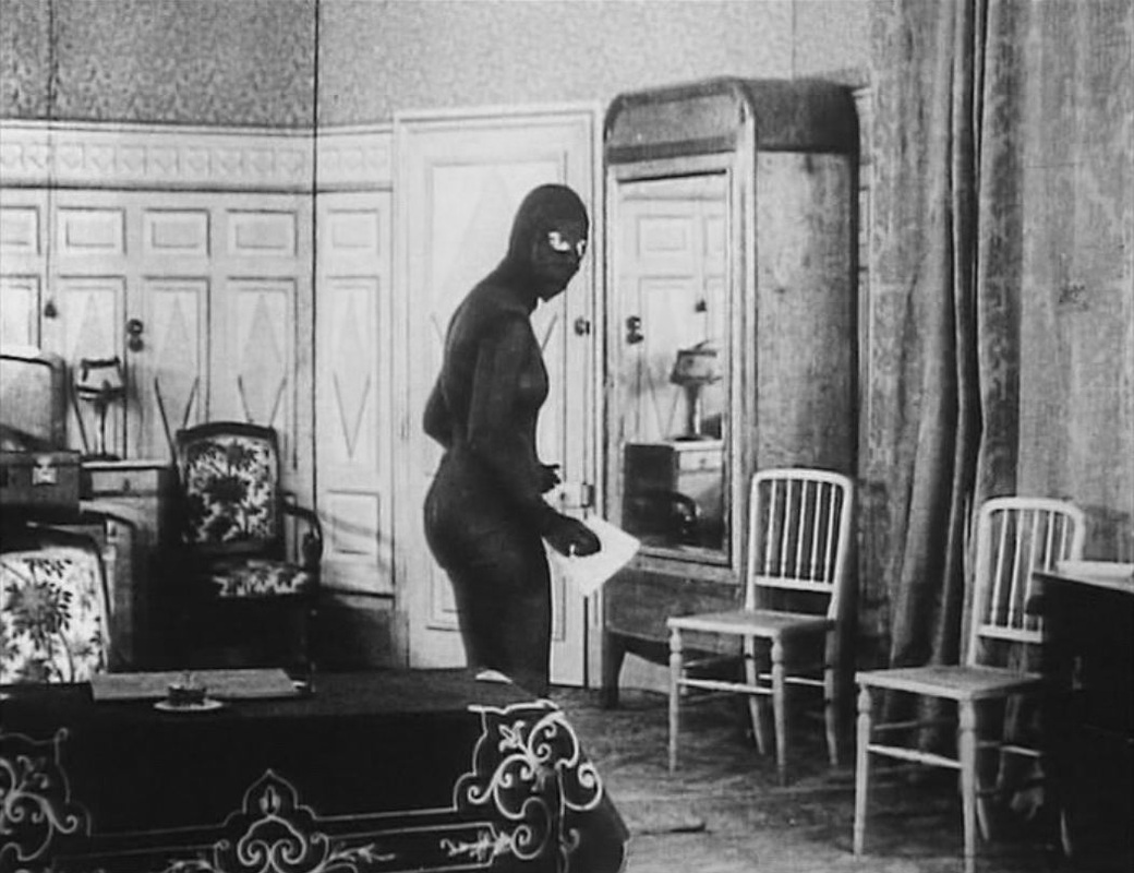
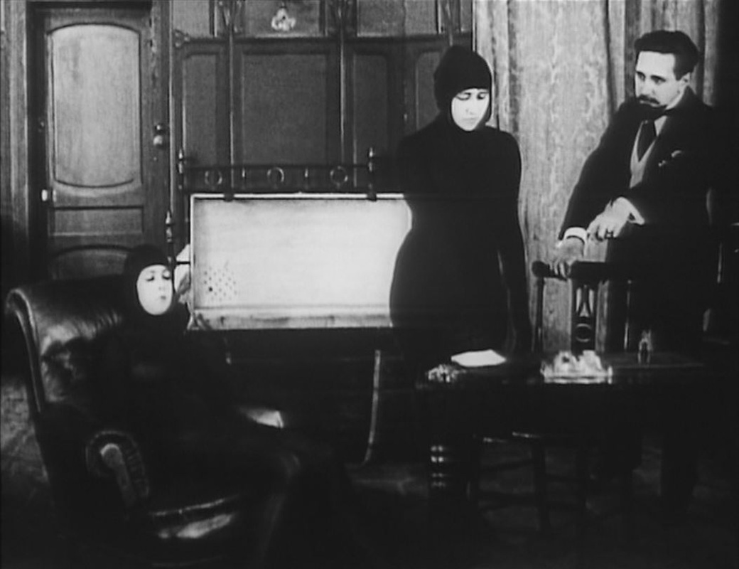
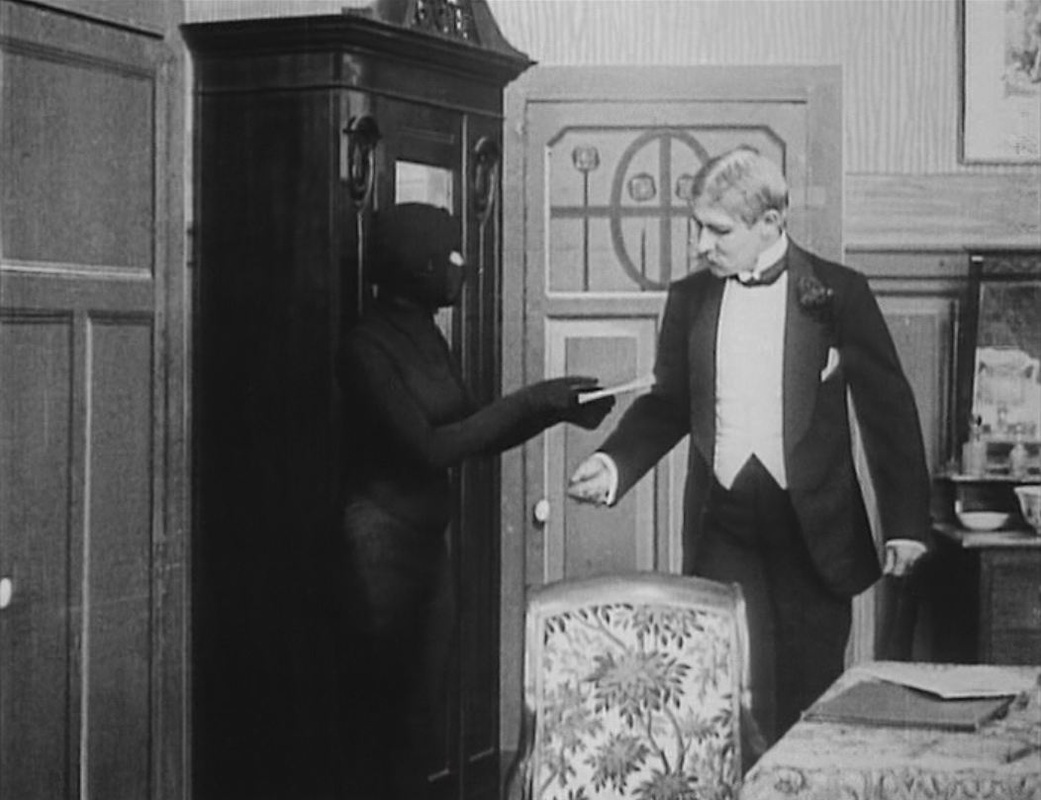
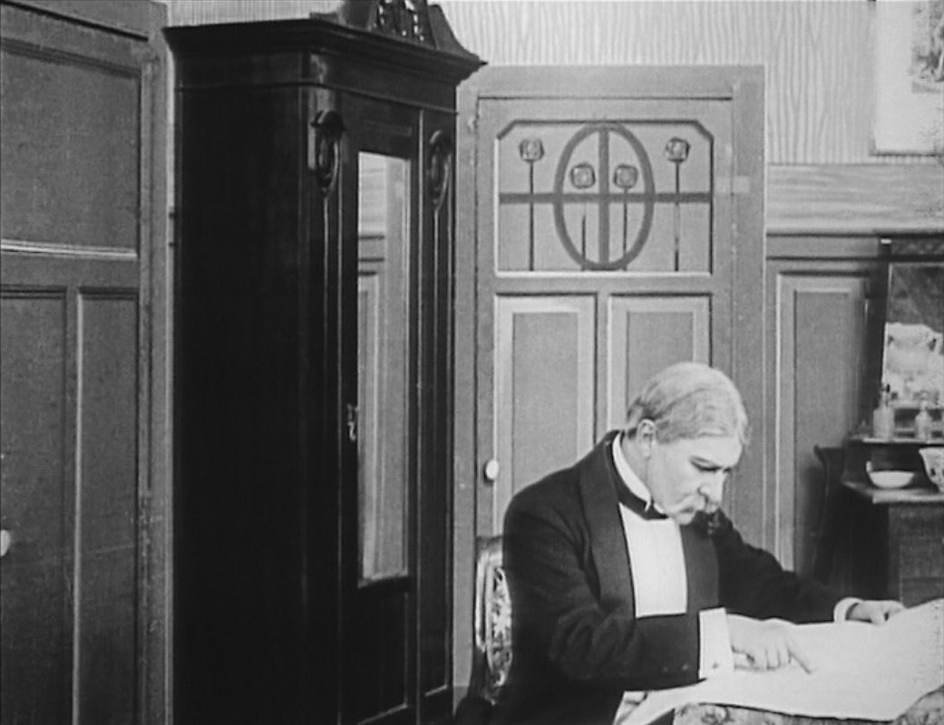
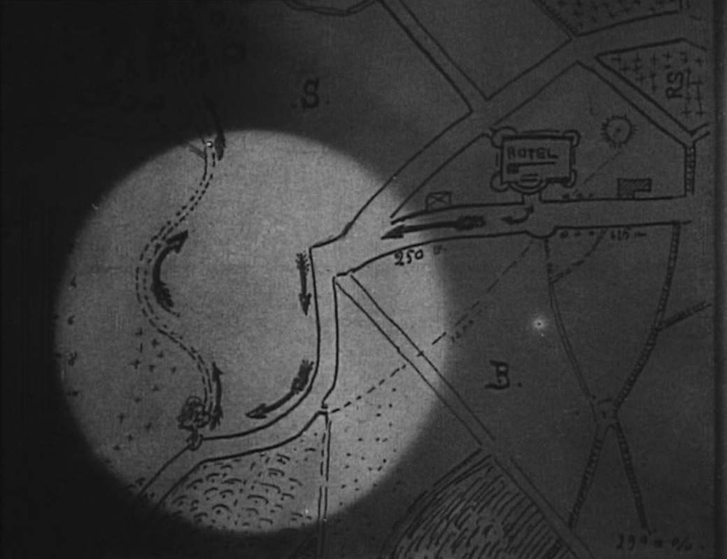
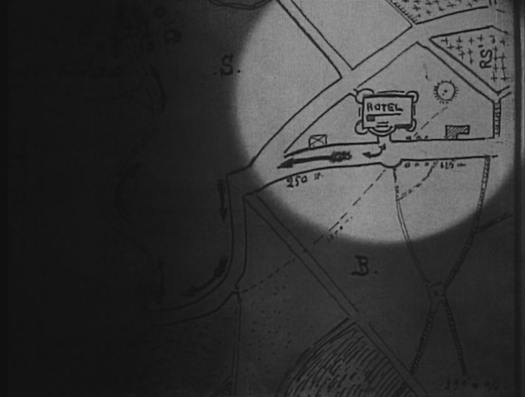
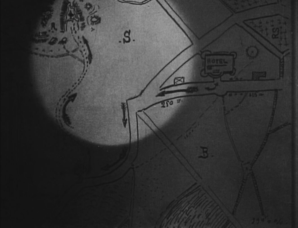
To my shame I can identify none of the places represented on these maps, except for those on the globe and the planisphere of the heavens. A few other maps feature in the film, such as this curious (hand-drawn?) map of the Red Sea area: 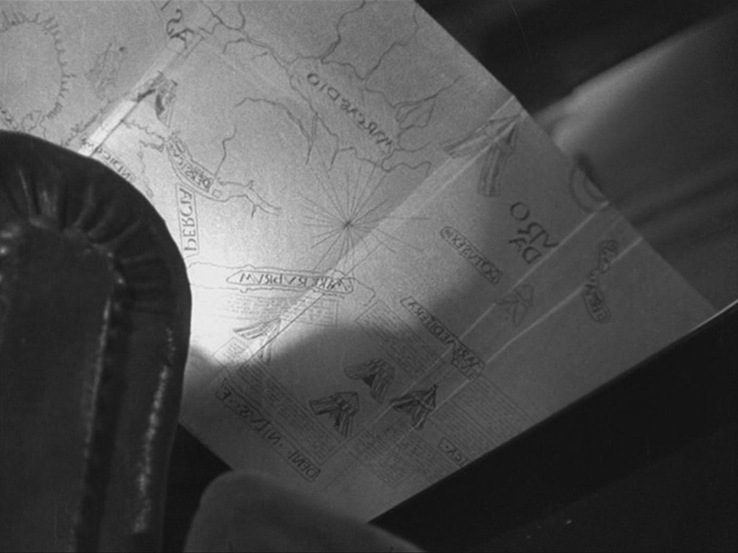 The map is in reverse because it is filmed from below and behind, as the old man folds it back into the book he is reading. In the kitchen of the house we see a part of a map if Paris on the wall, and in his room the German officer examines a book about Paris with a map of the Ile de la Cité on the cover: 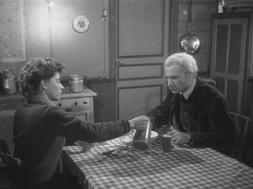 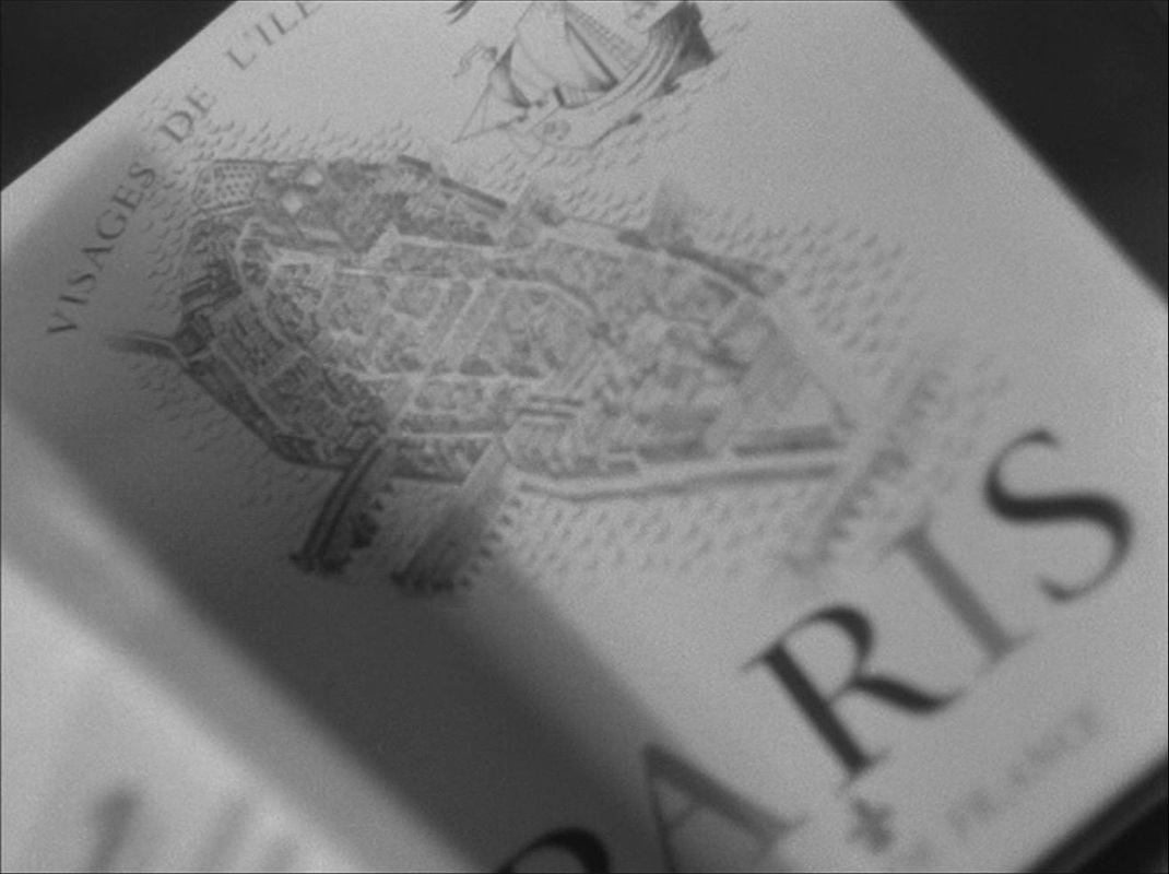 There is also a map of Europe on the banner of the Petit Parisien newspaper that he has in his room: 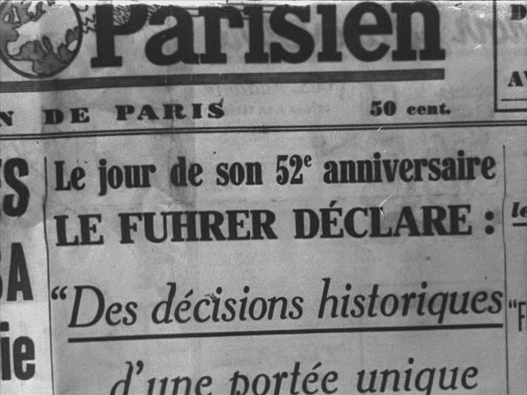 The only other maps are at the mairie of Villiers-sur-Morin, where the German officer works. One probably represents the area of jurisdiction, the other shows the outline of the British Isles on a propaganda poster: 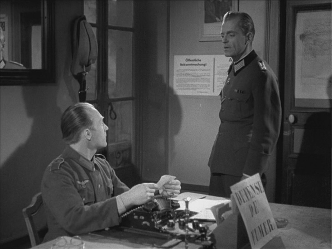 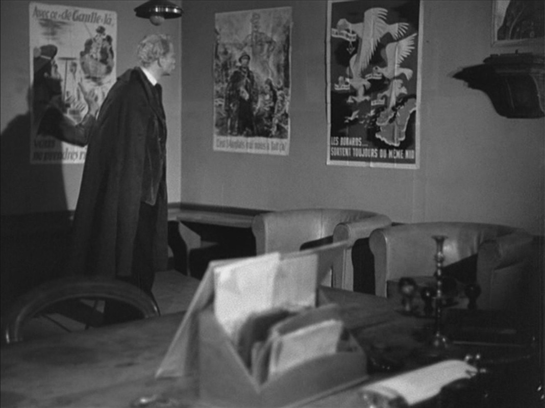 Each of these, curiously, is reframed and reversed by being seen in a mirror: 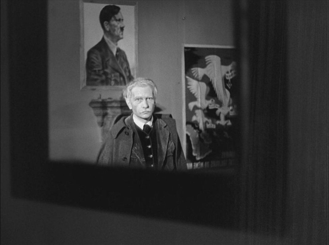 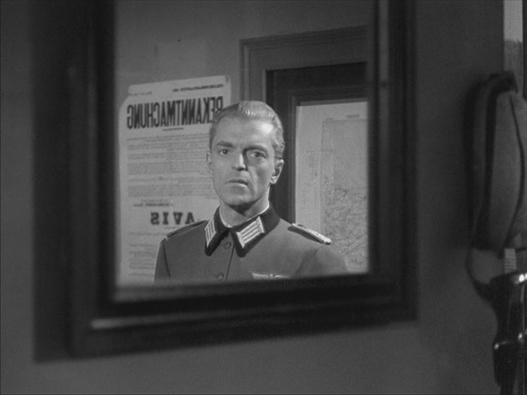 Postscript: A still of this last image is used in Jean-Louis Roy's 1967 film L'Inconnu de Shandigor, where it evokes the Nazi past of a character played by Howard Vernon: 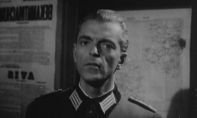 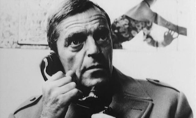 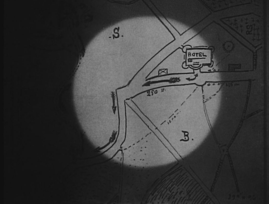 We see only two maps in Les Vampires. The first is at the centre of complicated dramatic business in episode six, 'Les Yeux qui fascinent'. Four different characters scrutinise it in succession, and each time we are shown the map in close up. At the 'Hôtel du Grand Veneur in Fontainebleau', Irma Vep searches the room of two American thieves and finds a printed map of the region:
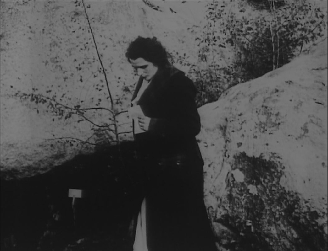
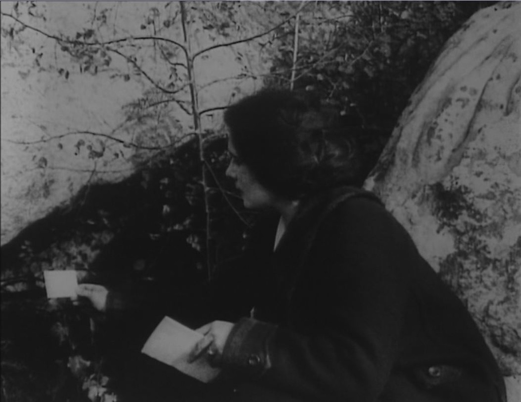
She examines the map closely but it is only on folding it that she notices a hand-drawn map of the hotel's immediate vicinity: 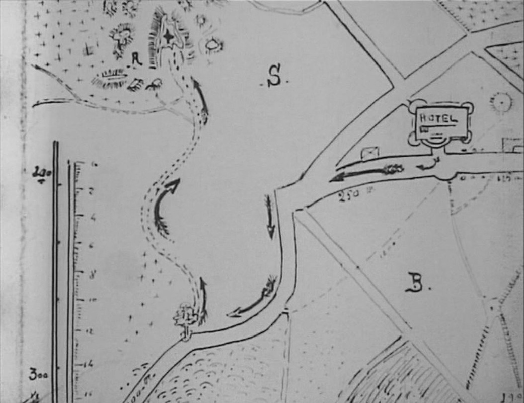 This she examines even more closely, realising that it shows where the Americans have hidden their 'treasure', among the famous rock formations in the forest of Fontainebleau. She folds the map to take it to the Grand Vampire:
It is striking that when she turns out the light the one thing we can make out clearly is the folded map in her hand. When she leaves the room the second piece of business concerning the map begins. She is seized by the Vampires' rival Moreno, who drugs her and examines the map in turn:
He too sees only the printed map at first, and only on folding it notices the hand-drawn map:
Drawing the same conclusion as Irma, he replaces her with a hypnotised servant with instructions to pass the map to the Grand Vampire, as Irma would have done. His plan is to have the Vampires collect the treasure from the rocks and waylay them, rather than go to the bother of fetching the treasure himself.
In this sequence also there is a moment when the lights are put out and all we see is the white folded map. The third person to scrutinise the map is the Grand Vampire, who goes through the same process of first attending to the printed side and only after noticing the hand-drawn map overleaf:
He show the map to his accomplice, and sends her out to fetch the treasure in the forest:
The last time we are shown the map is as she finds her way in the dark up to the hiding place:
The dramatic irony in this sucession of sequences is that the map is useless to everyone involved, since Guérande and Mazamette have already discovered the hiding place and replaced the treasure with a note to that effect.
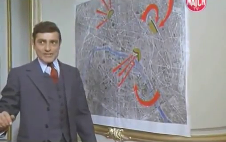
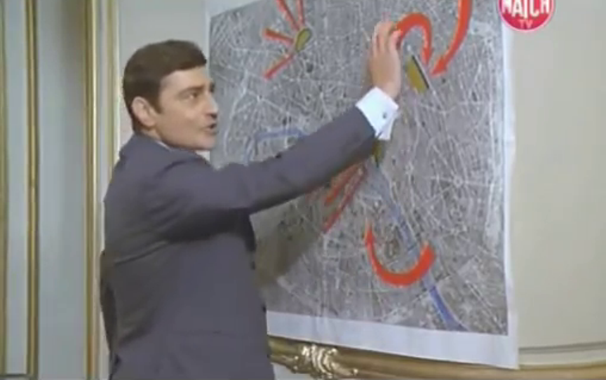
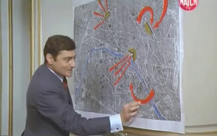
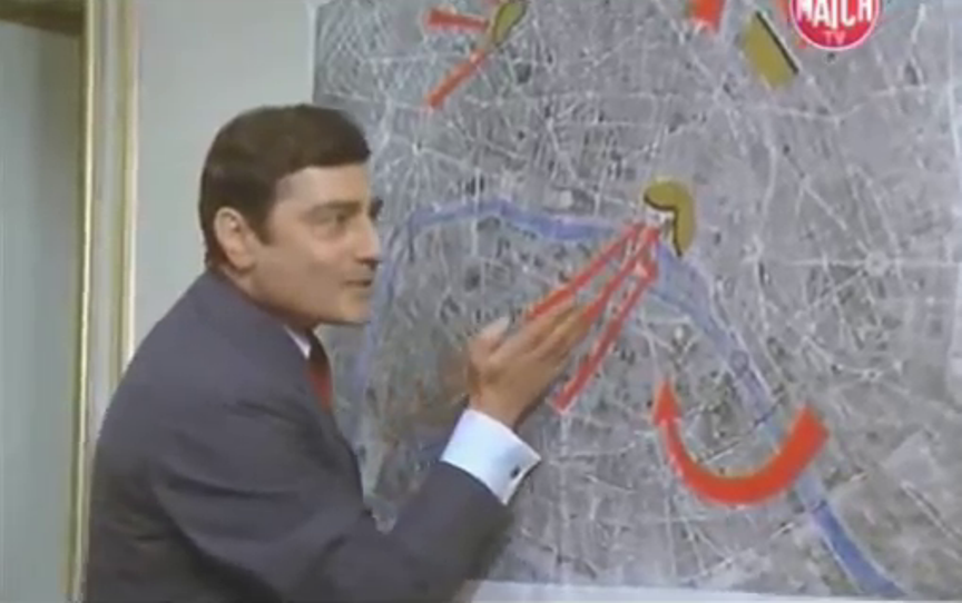
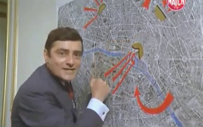
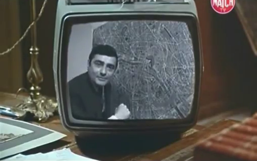
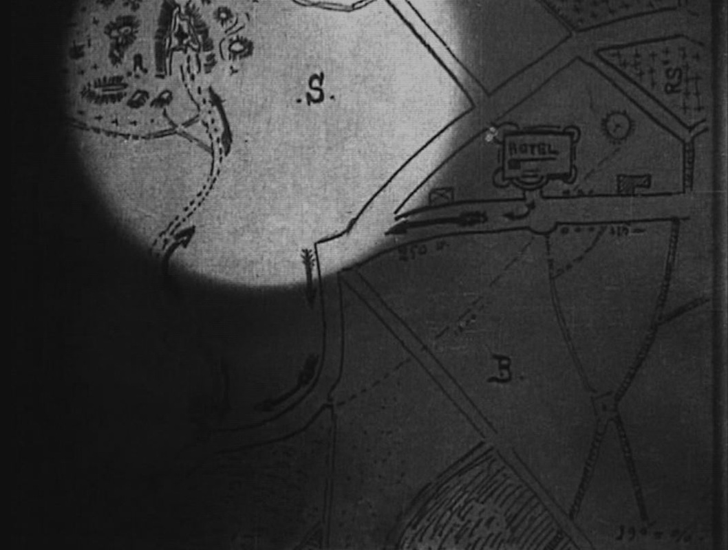
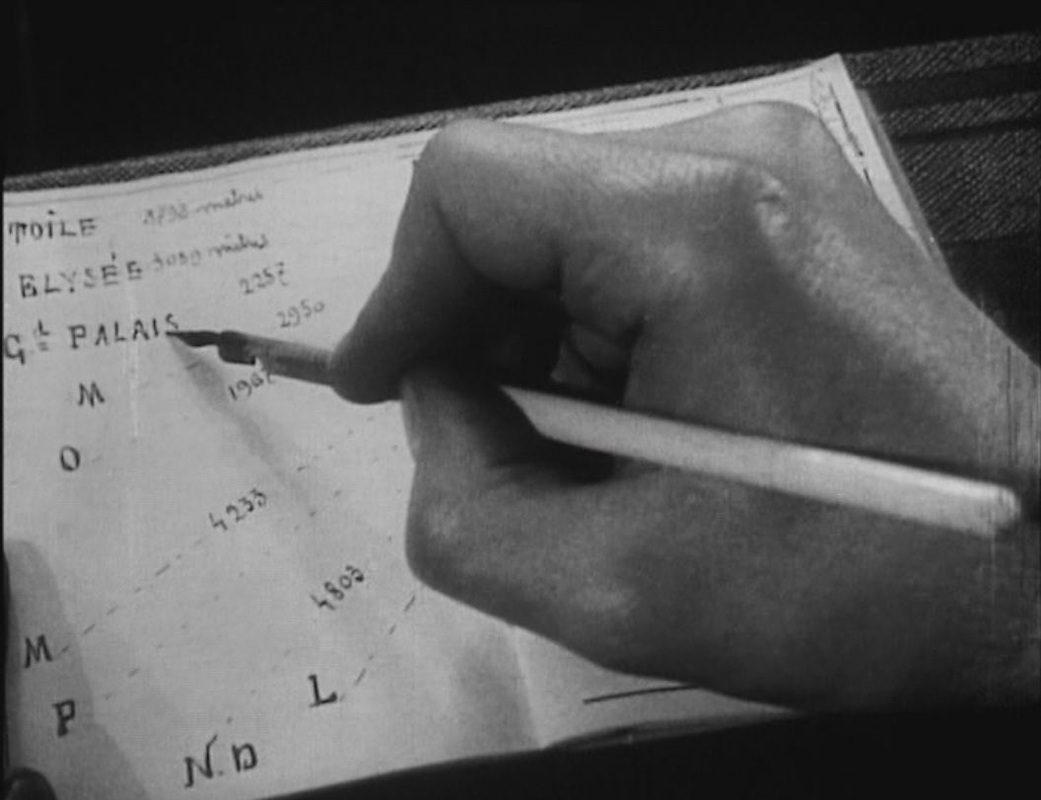
The cartographic irony in this succession of sequences is that neither the map of the region nor that of the hotel's vicinity could tell us where we really are in the film. This is indeed the forest of Fontainebleau, though I am not yet equipped to identify which specific rock formation features in the film. I can say, however, that we are not in the town of Fontainebleau, where there was no hôtel du Grand Veneur at the time (as far as I can tell). The exteriors we see in the sequence are those of the hôtel de la Renaissance, in Marlotte. On the map below, Marlotte is at the southernmost extremity, just right of centre: 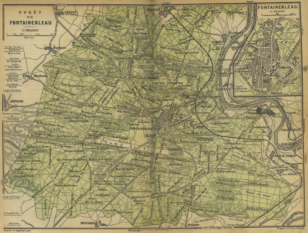 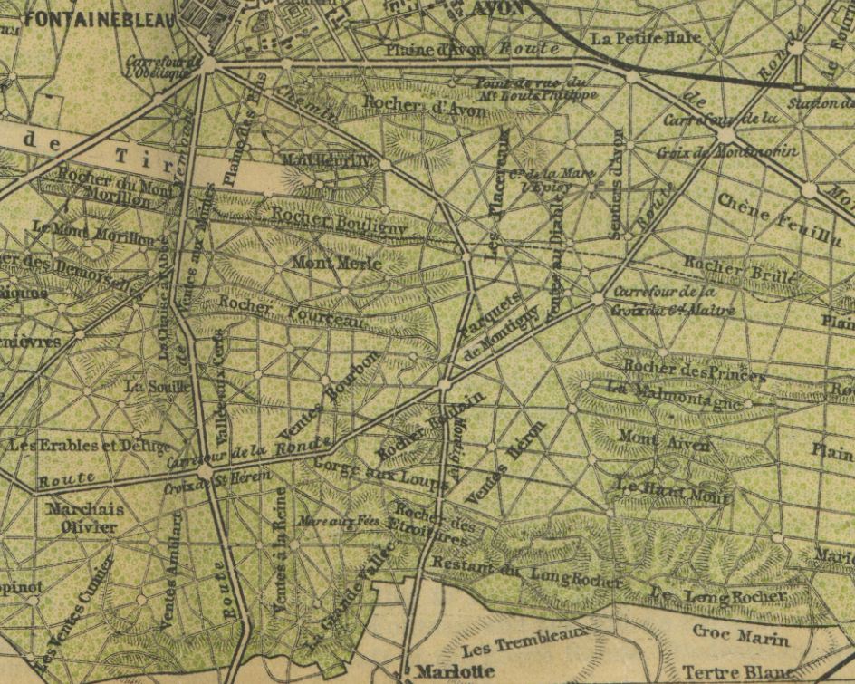 The rocks just north of Marlotte may be those we see in the film; convenience dictates that the nearest rocks would do. I have tried to make the hand-drawn map of the hotel's vicinity fit the actual layout of Marlotte, without success. If the map is oriented with the north to the left, then the 'B' could stand for Bourron, a village just west of Marlotte, but I can't see what the 'S' could stand for (presumably the 'R' is a 'rocher'): 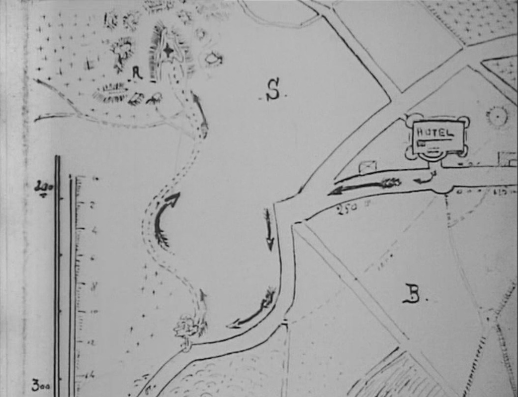 I'm forgetting that the hotel is supposed to be in Fontainebleau, to which the map corresponds even less. The second map in Les Vampires is in episode eight, 'Le Maître de la foudre', and also requires some deciphering. In the Vampires' codebook found by Guérande in the second episode, there is this schematic representation of Paris: 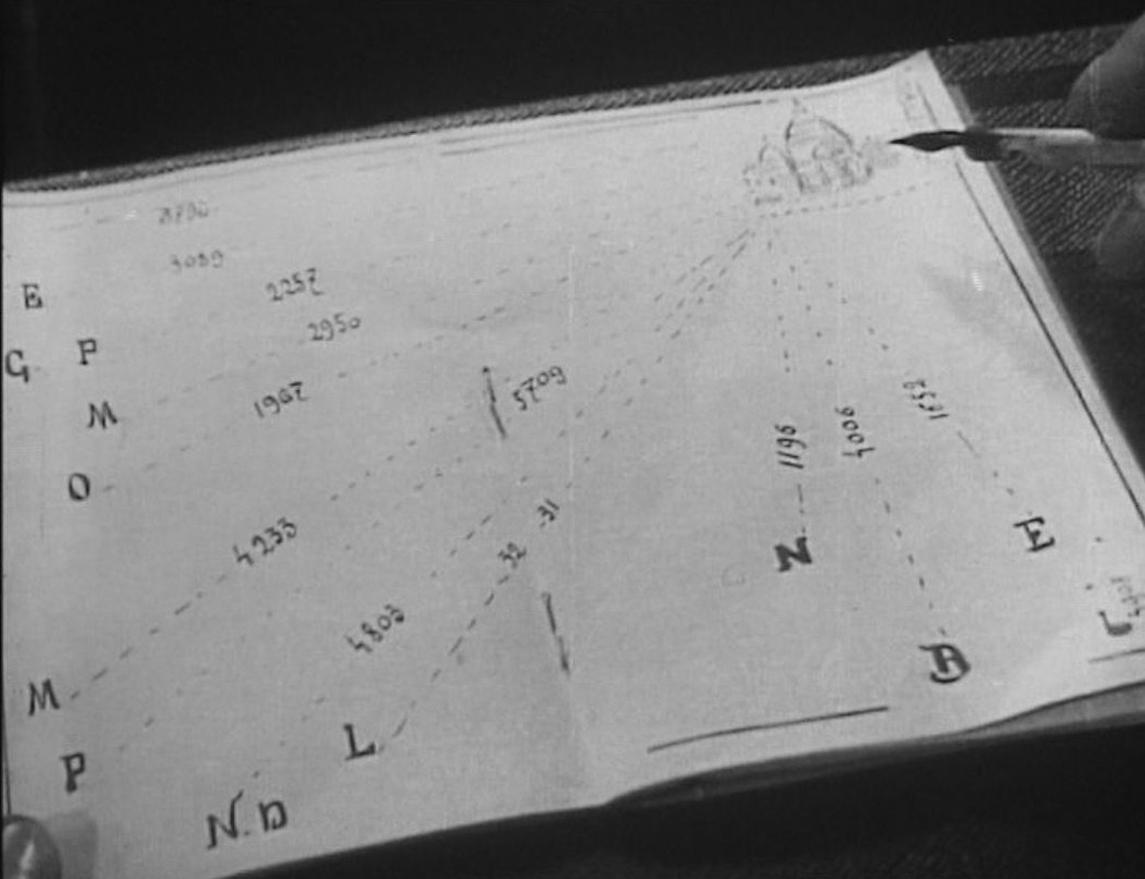 Guérande tells Mazamette he has worked out that these directions and distances correspond to the trajectories of missiles fired from a single point, near the Sacré Coeur in Montmartre. Guérande proceeds to fill in some of the place names to which the letters correspond: 'Etoile', i.e. the place de l'Etoile; 'Elysée', i.e. the palais de l'Elysée; 'Grand Palais', 'Opéra':
Tantalisingly, in the shot that follows he identifies three more places verbally, but my interpretative skills do not extend to reading his lips:  I have tried matching the distances to places in the corresponding directions, though the film doesn't seem to have been particularly careful in its own calculations, since the Elysée and the Grand Palais are close to each other in reality but according to the map are respectively 3089 metres and 2257 metres from Montmartre. Still, for the initials remaining I would make these guesses: 'M' = La Madeleine 'M' = gare Montparnasse 'P' = Panthéon 'N.D' = Notre Dame (though the '4803 metres' is far too much) 'L' = Louvre 'N' = gare du Nord 'B' = Bastille 'E' = gare de l'Est 'L' = gare de Lyon (I think that's an 'L') 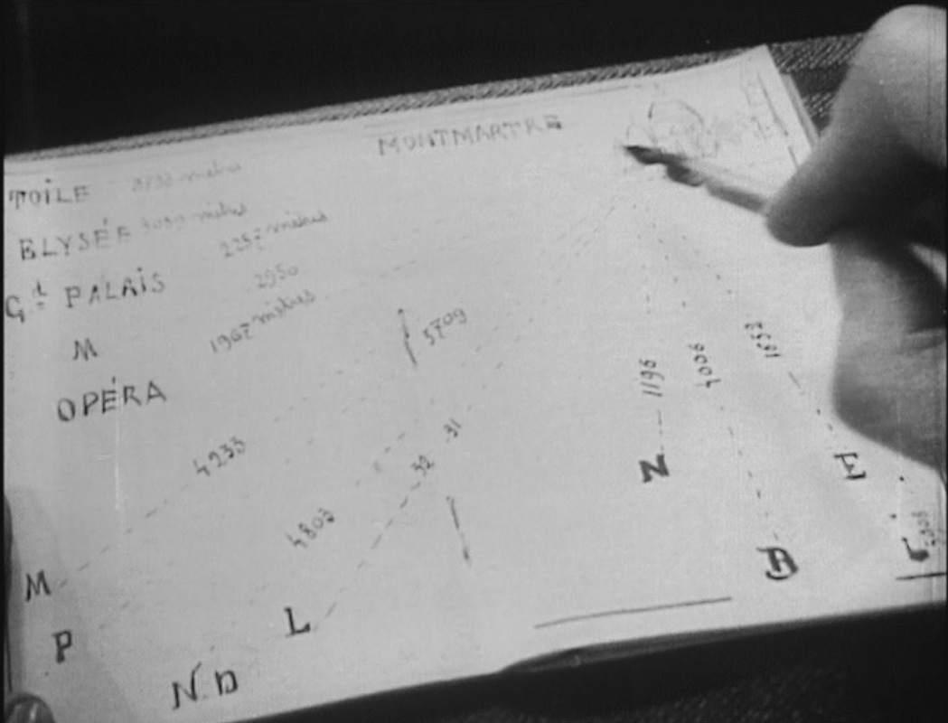 That's probably enough work on the maps in Les Vampires, and probably enough work on finding maps in films, for the moment. This is the three hundred and sixty-fifth 'Daily Map' posting; this being a leap year, tomorrow's will make it a full year's worth, and will be the last daily map. Further maps in films will be posted from time to time, whenever I find a good one.
   These are nice maps, but even more interesting is the journey of the pneumatique that Doinel sends: 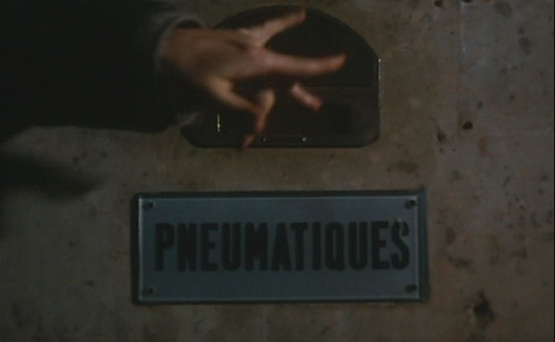 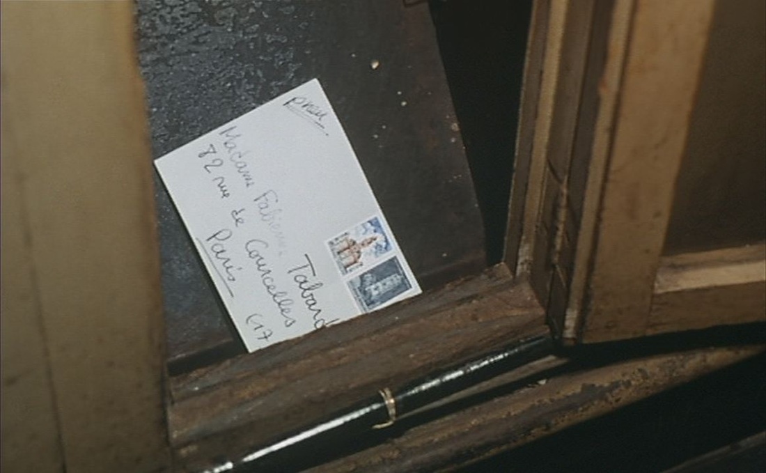 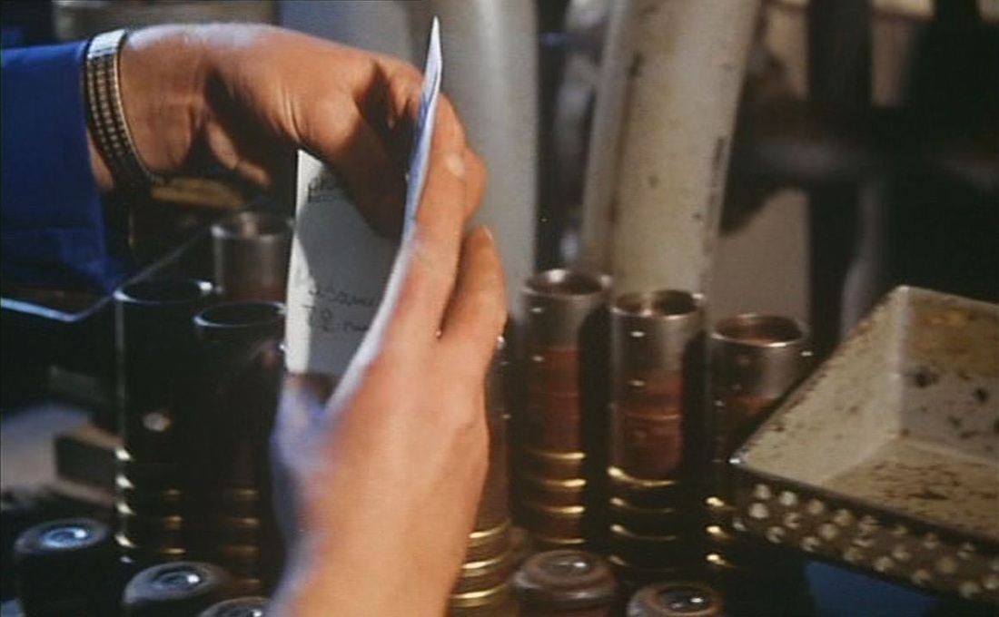 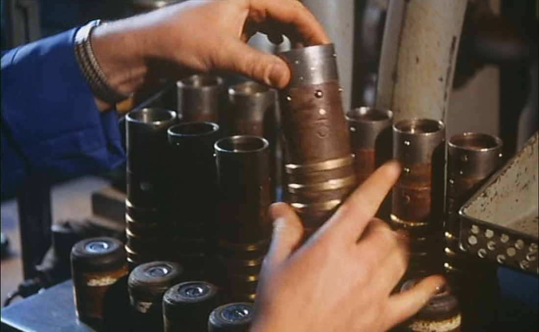    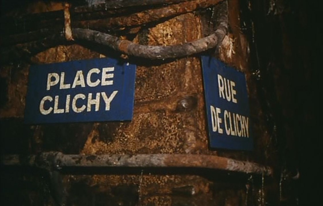  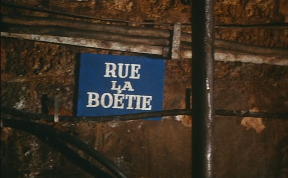 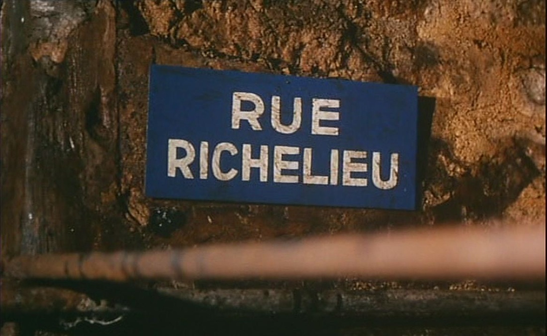 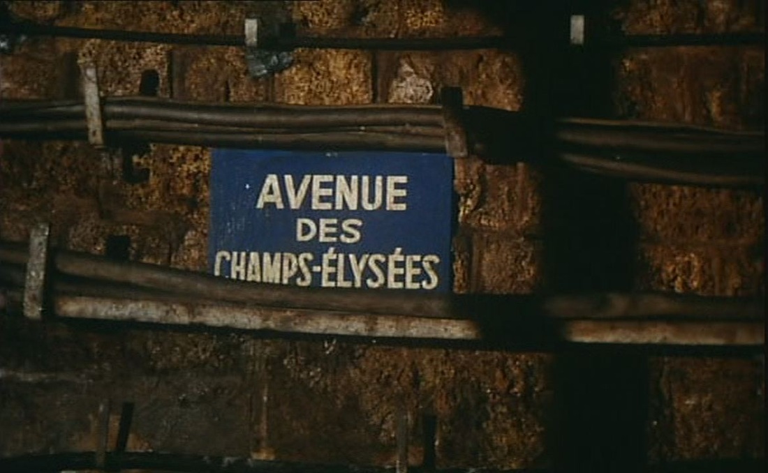 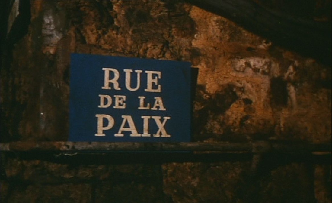 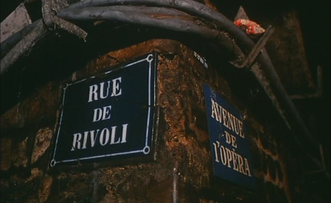 I know nothing about the layout of Paris's pneumatique mail system, but Doinel's letter does not seem to have taken a particularly logical route to its eventual destination (rue de Courcelles, in the 17e). Here is an approximate mapping of the route represented by the street signs above: 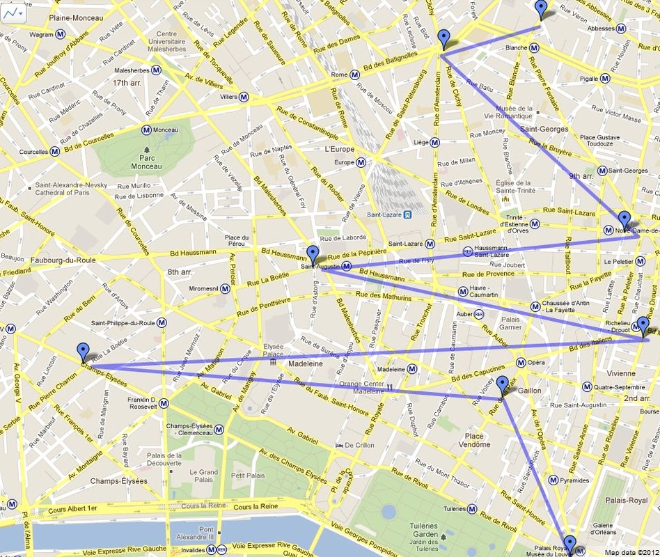 Google Maps 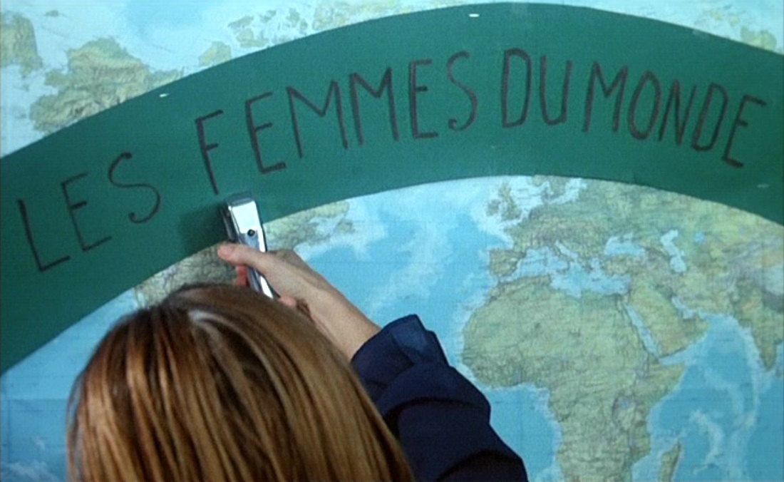 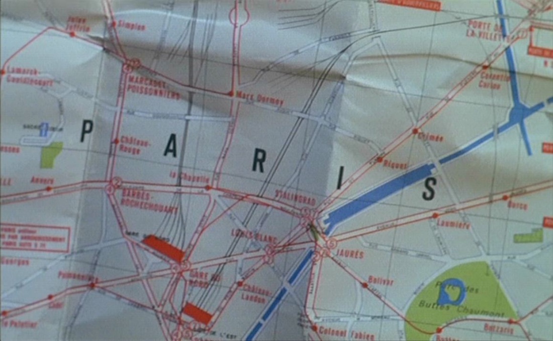 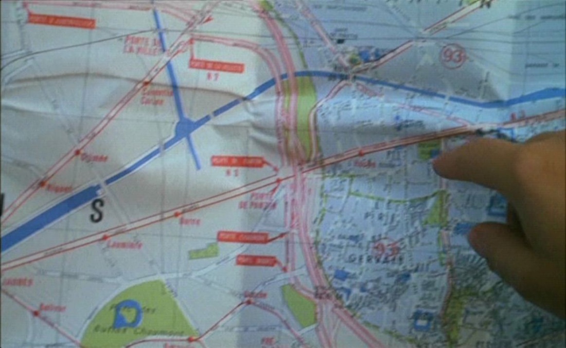 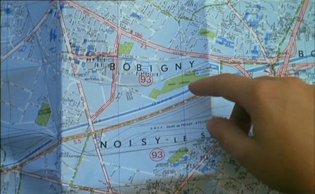 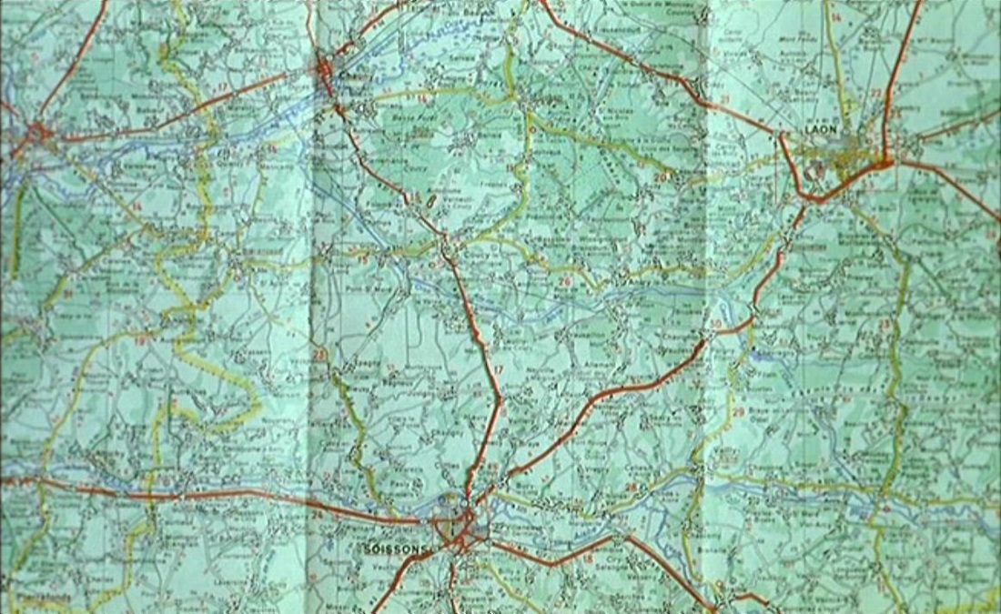 Maps feature heavily, but the central spatial machinery connecting places in the film is the sending of postcards: 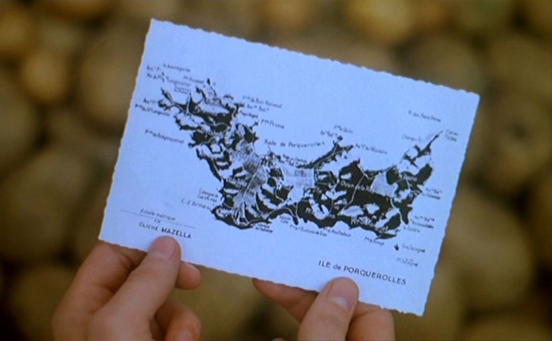   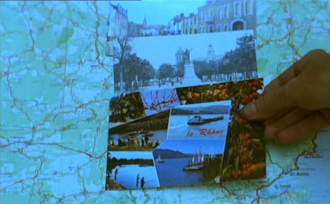 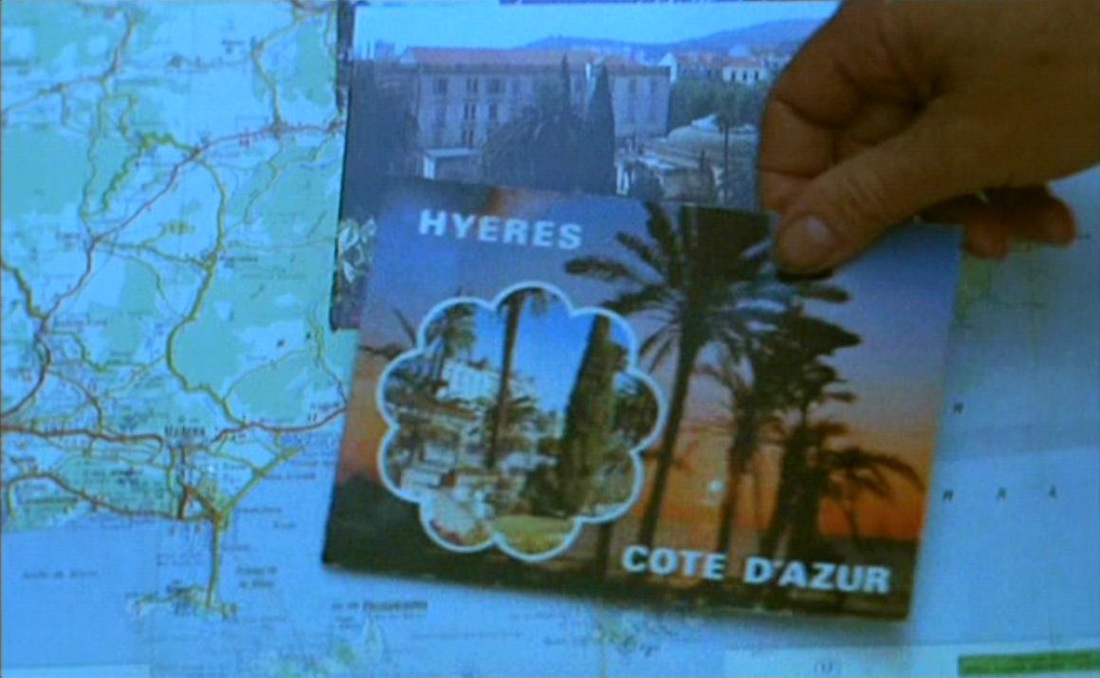  Cléo de 5 à 7 (1961)  Jacquot de Nantes (1991) 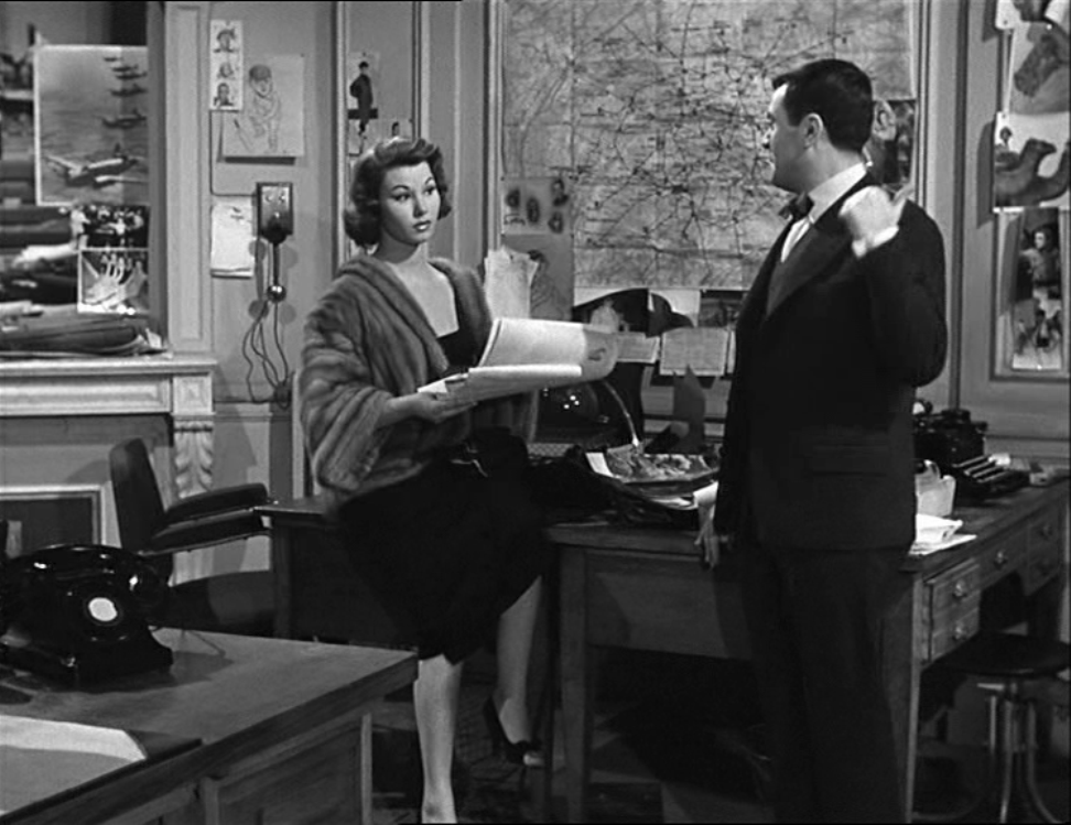
For more interesting pictures from this film, see The BlowUp Moment, here.
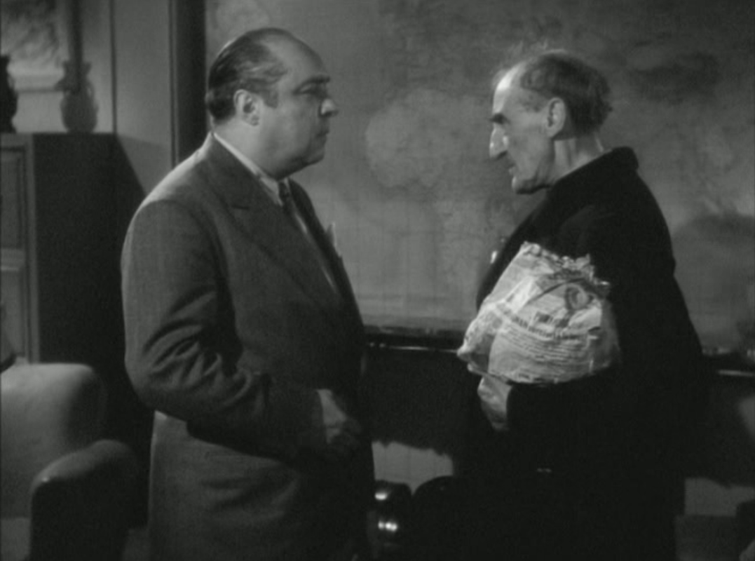
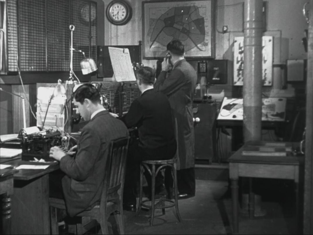
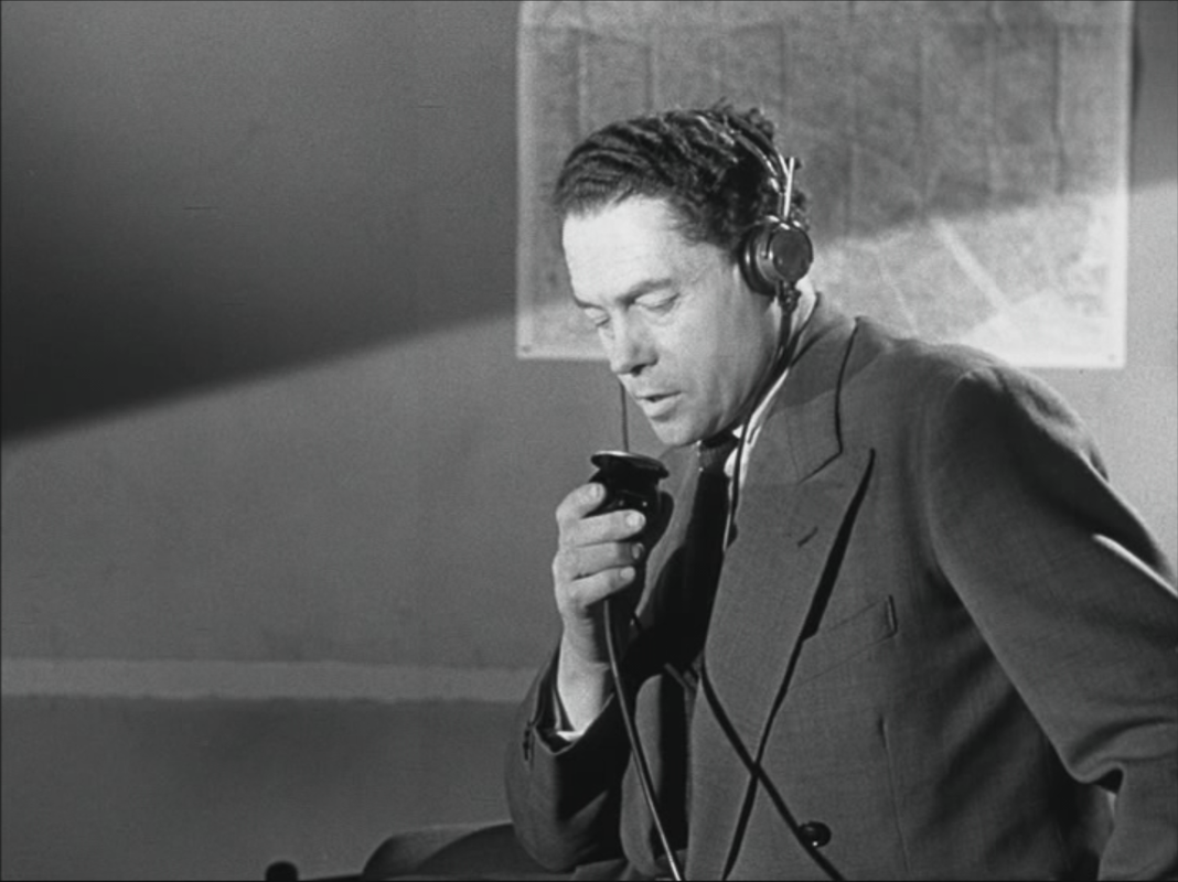
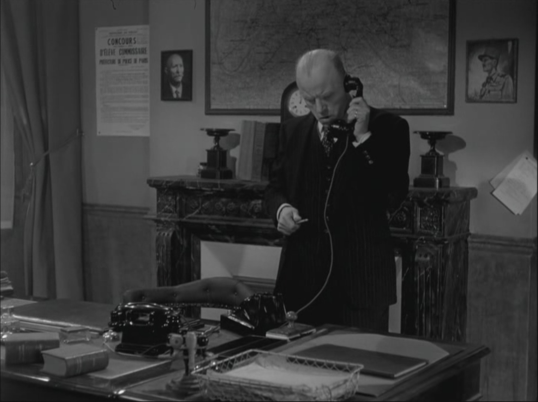
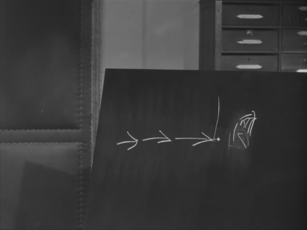
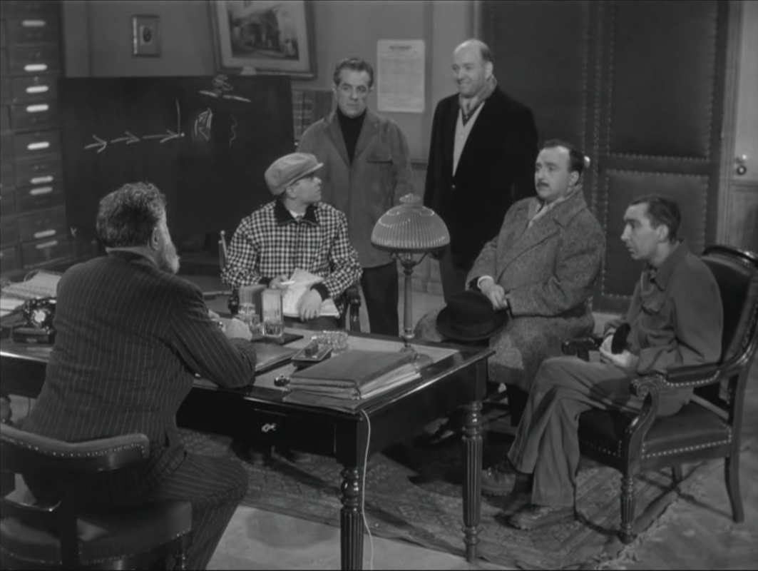
 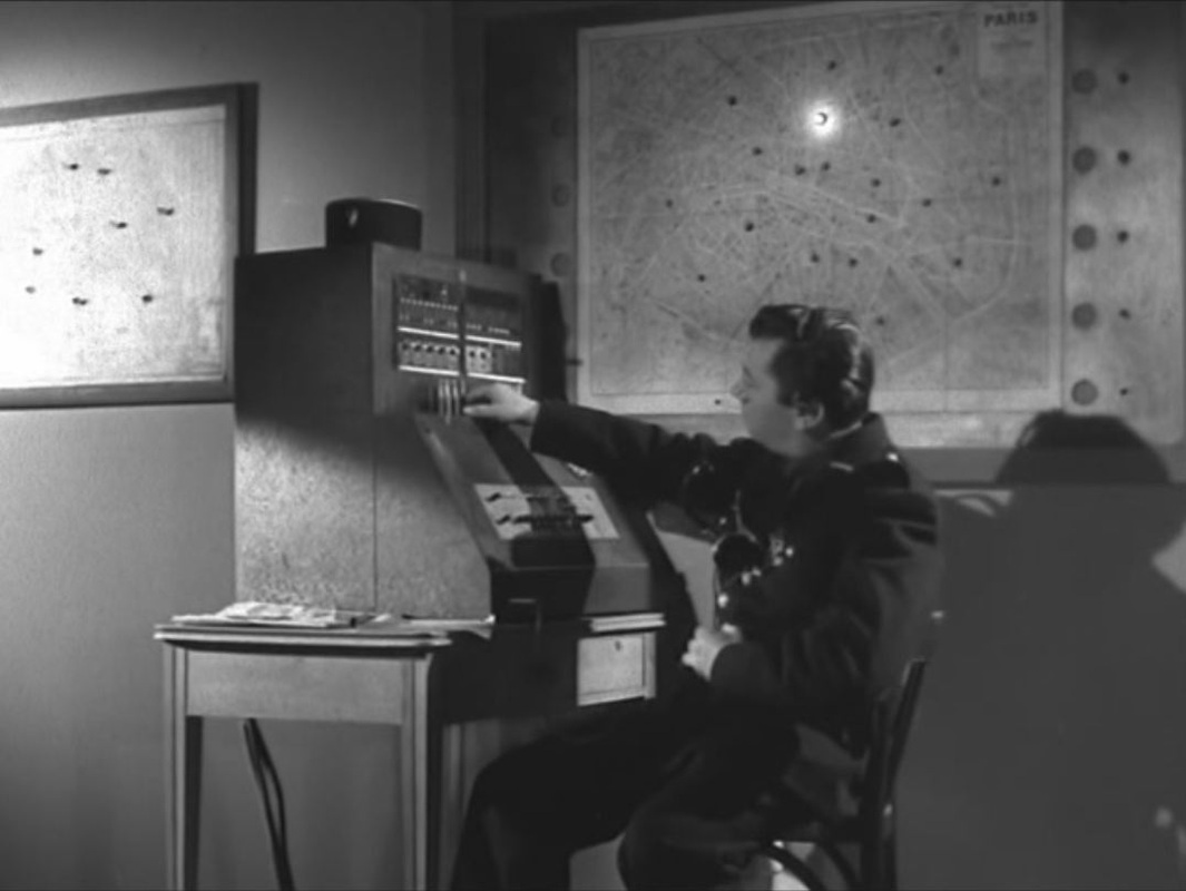  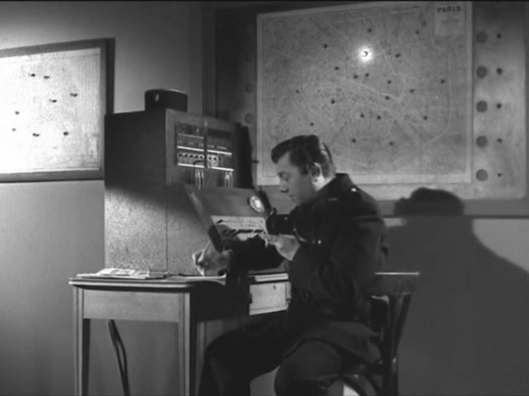 This first map lights up to signal a crime reported near Pigalle, initiating the police investigation. The climax of the film shows a car chase that begins in the suburbs east of Paris, 'au carrefour de Pantin', though the first light on the larger map on which the chase will be traced is again at Pigalle:  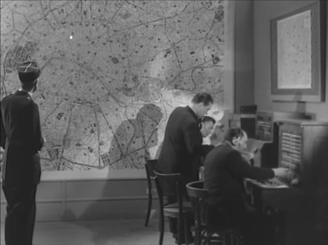 A close up of the map shows lights in the general area of the chase ('...le Pré Saint Gervais... le boulevard Sérurier...'), but this is followed by a longer shot showing the light on in Pigalle again:  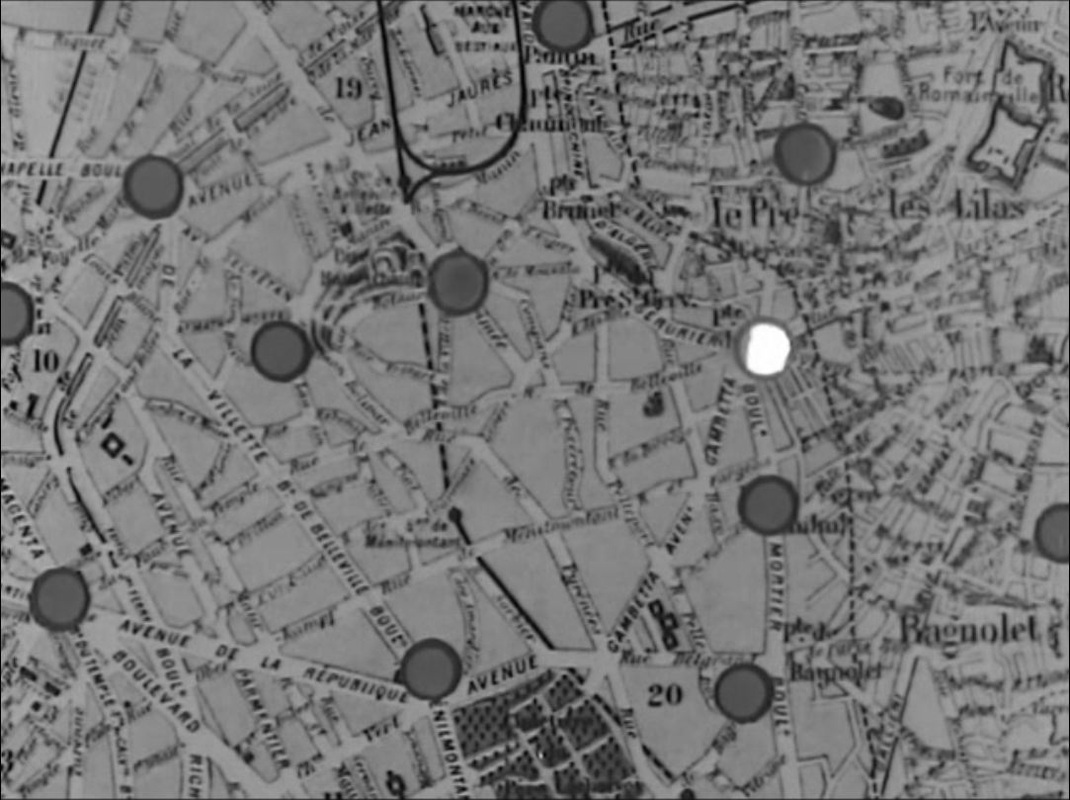 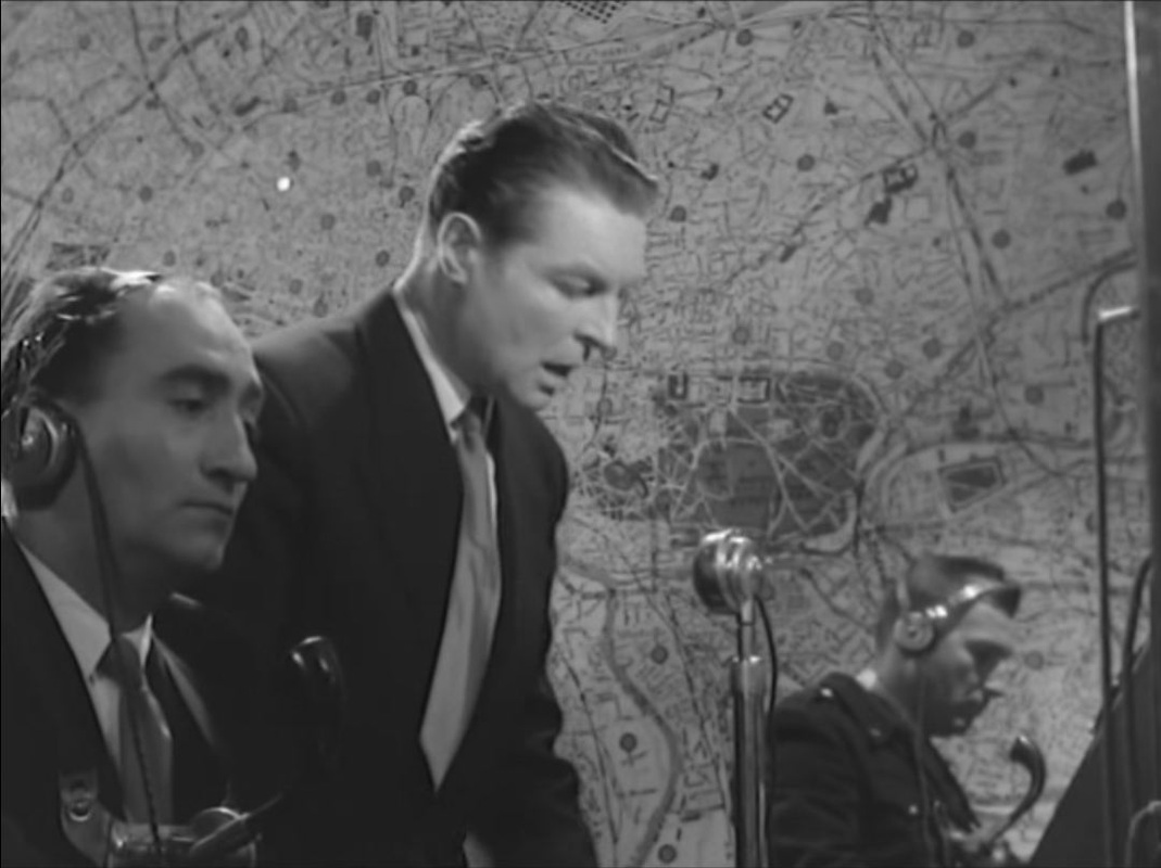 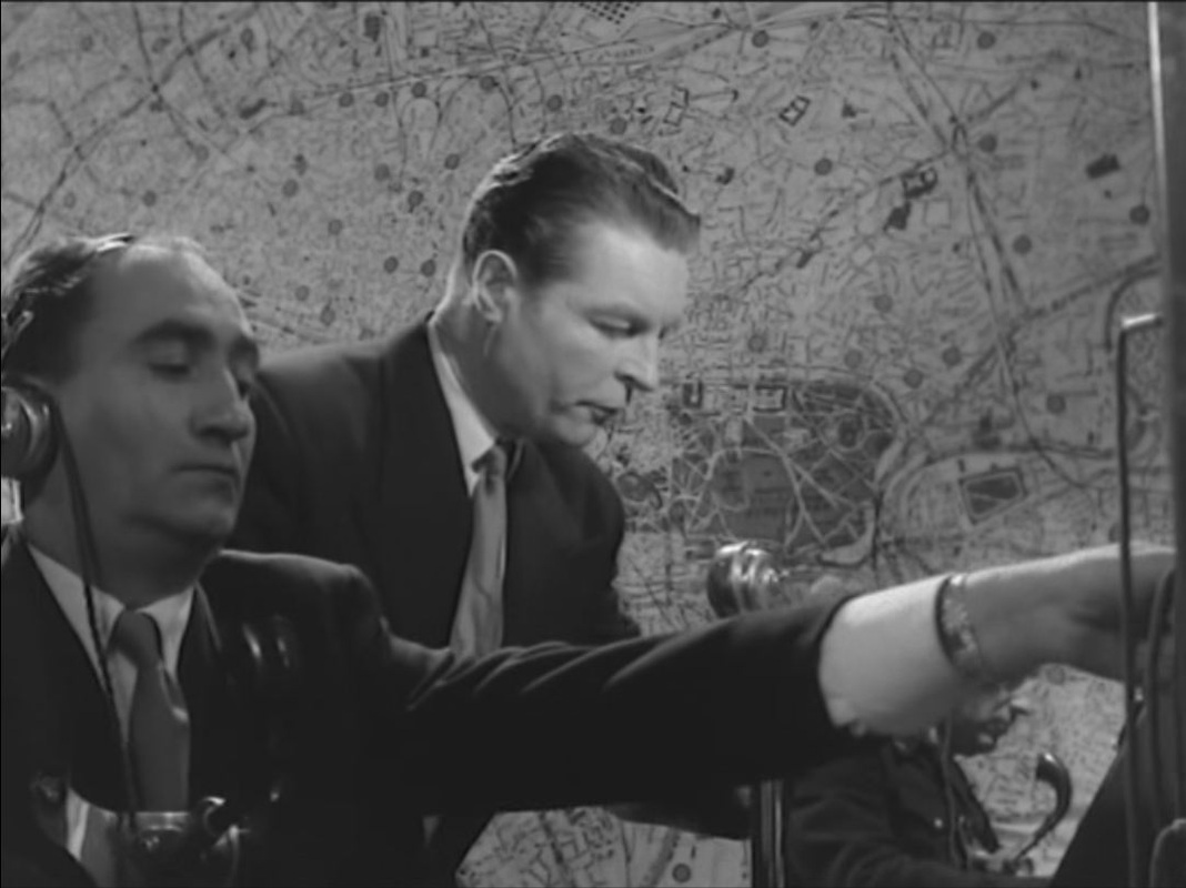 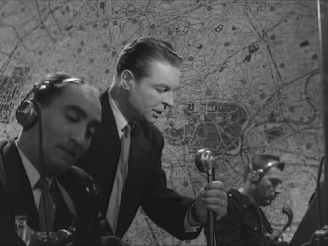 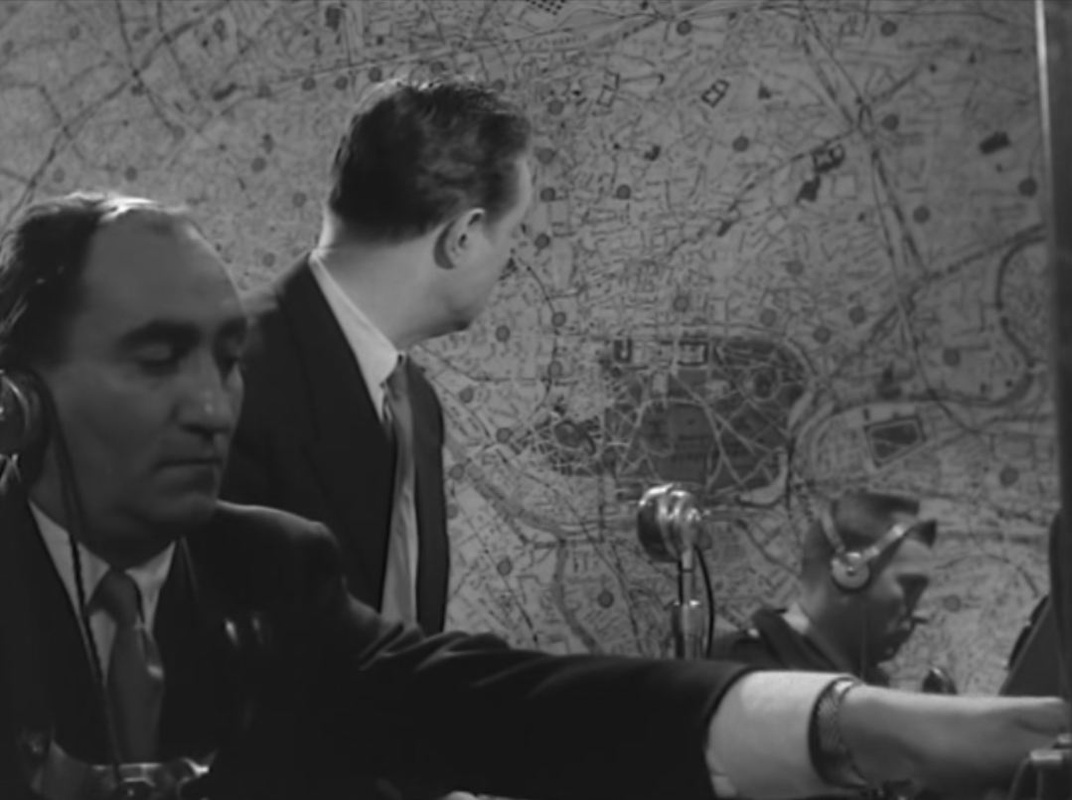 The radio controller is looking at the right part of the map, and perhaps we can read the light pointing to Pigalle as a narrational reminder of where it all started, though I'm more inclined to think that at its exciting climax the film simply isn't concerned about matching the chase with the map. 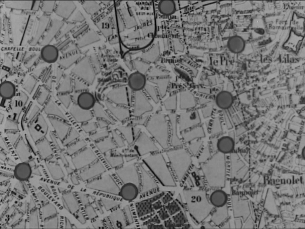 What concerns me more is the procedural accuracy of this set-up. I can't see that a map able to trace movements in so approximate a manner could be particularly useful to the police. This looks more like a fantasy about tracking of a kind with the more famous set-up in Melville's Le Samourai, twelve years later, which I also think is a fantasy (see here):  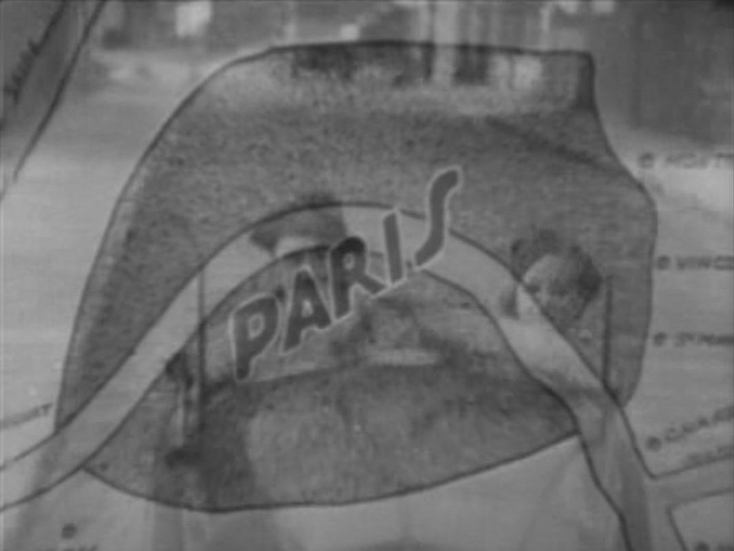
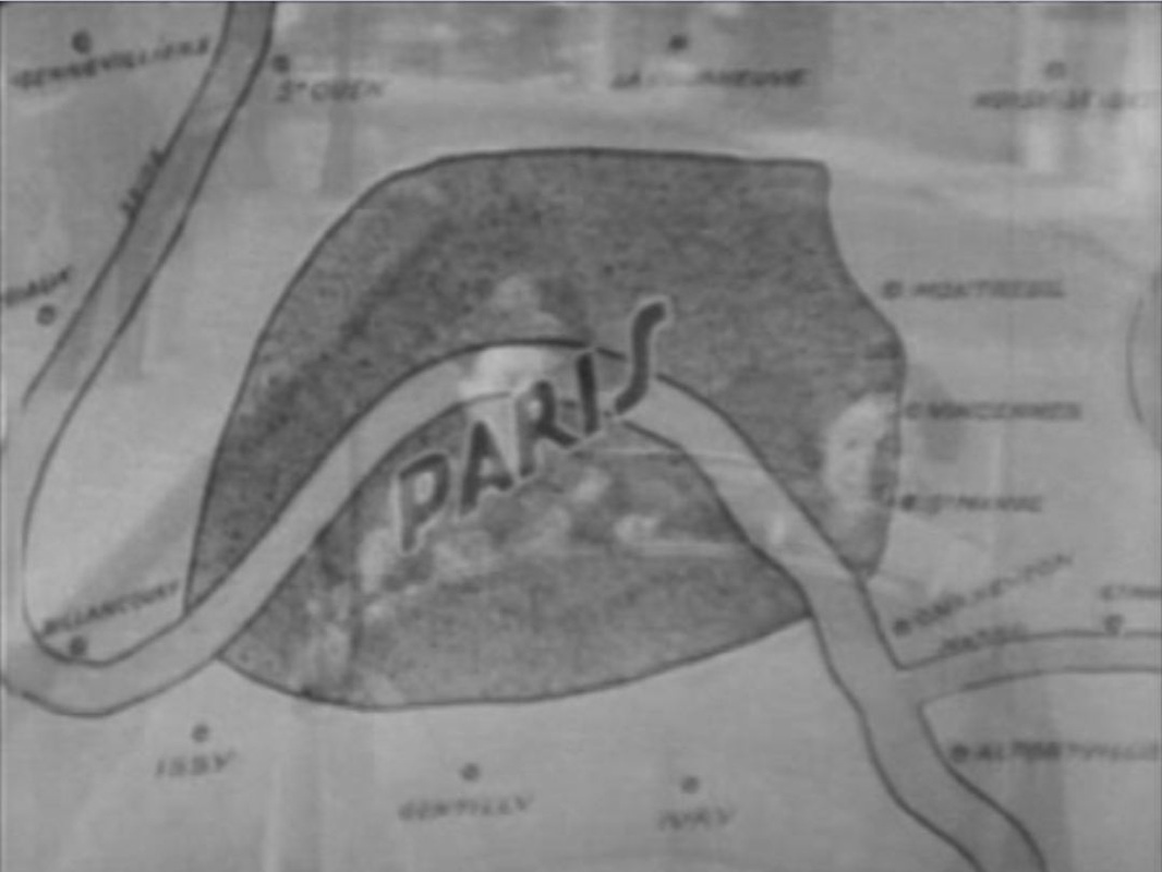
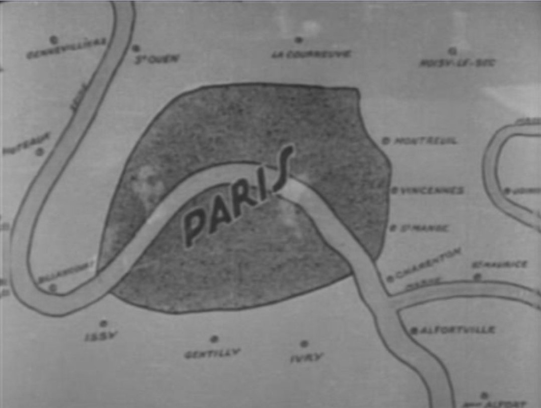
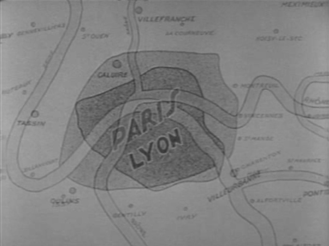
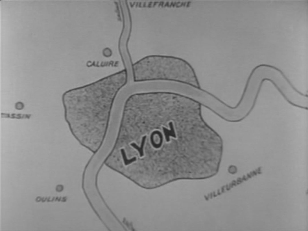
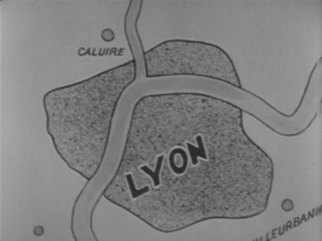
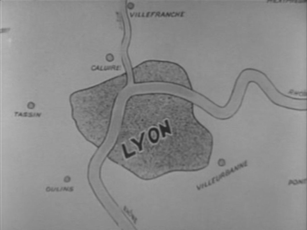
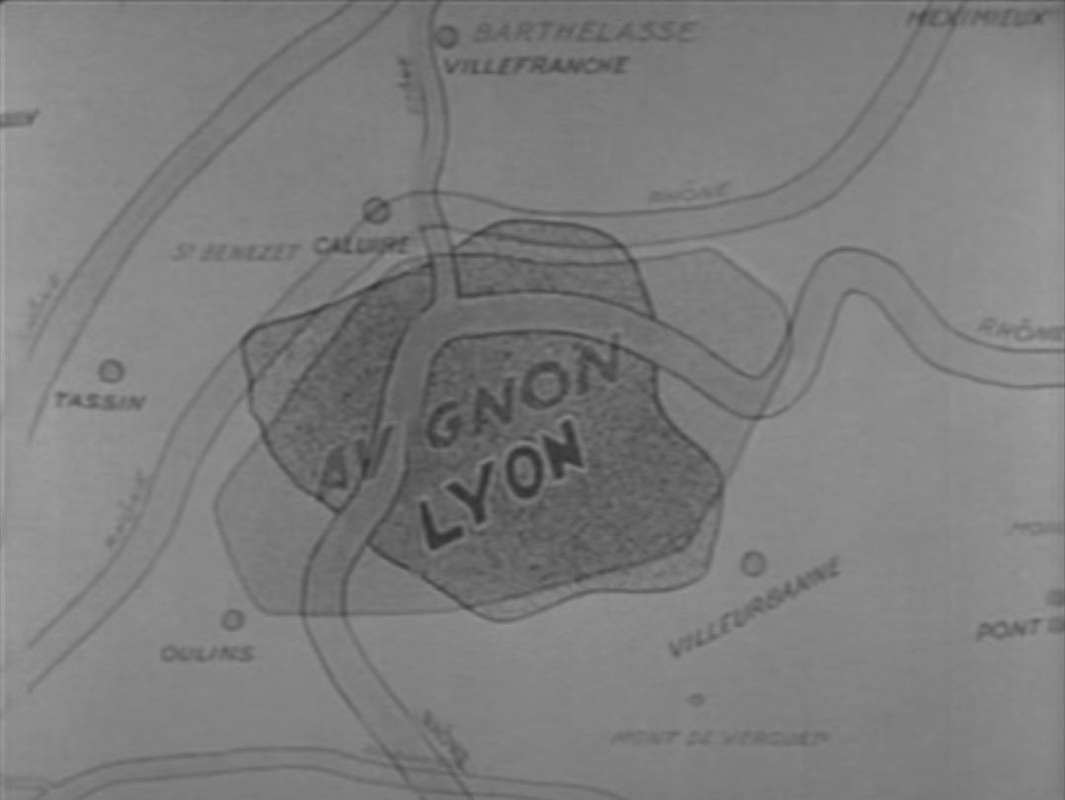
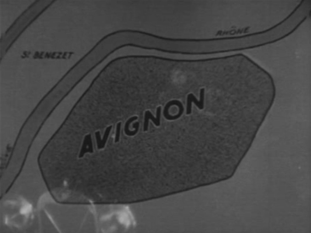
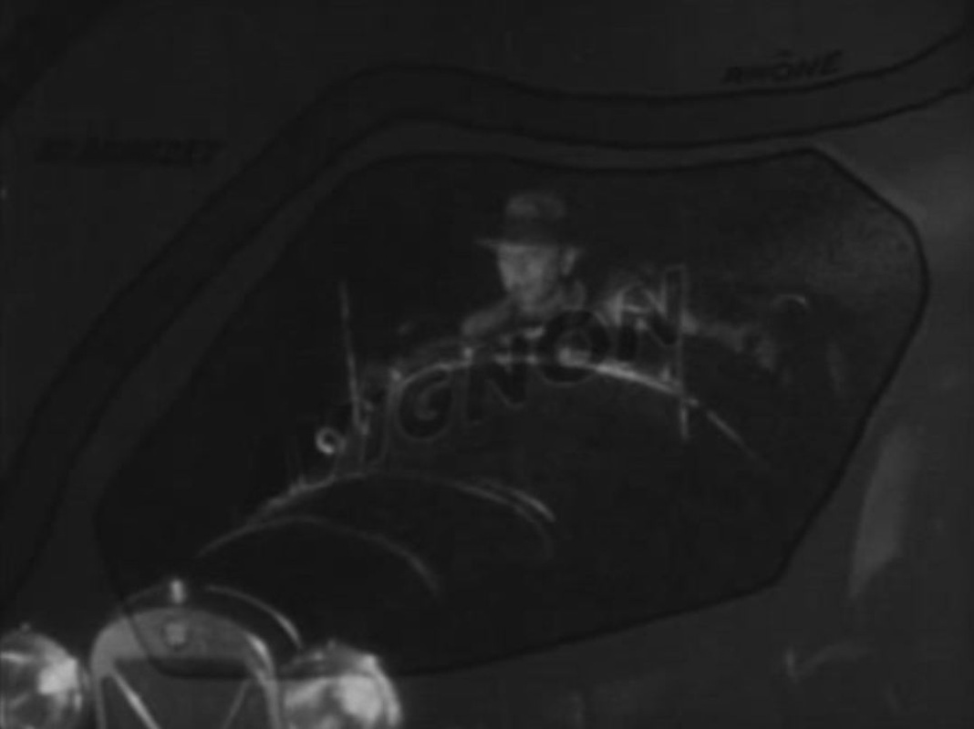
To get us from Paris to Lyon then on to Avignon, a simple means of representing a journey through superimpositions, first of a map on the speeding car, then of map on map, twice, then of the speeding car on the last map. 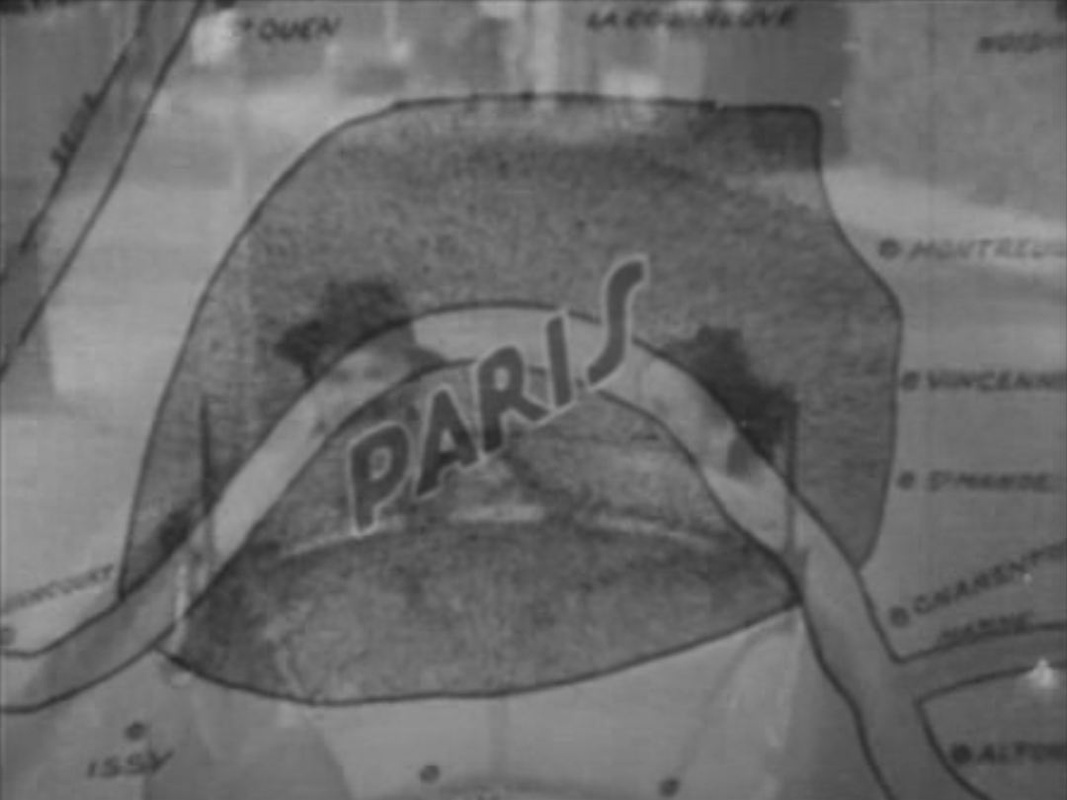


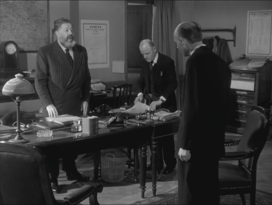
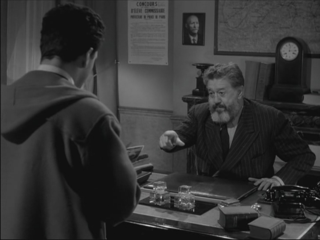
The one other map in the film has the police identifying where exactly the criminals can be found: 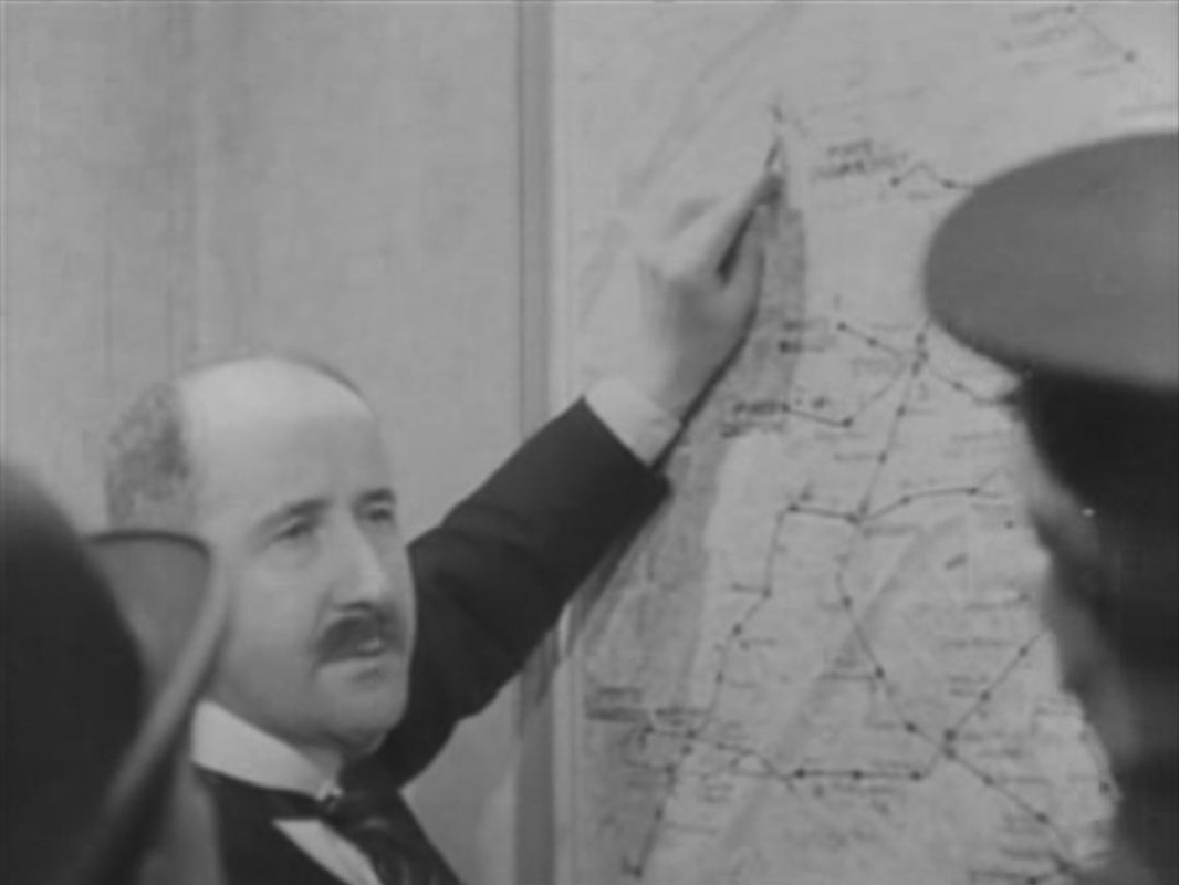
315/ 36 Quai des Orfèvres (Olivier Marchal 2004) & Quai des Orfèvres (Henri-Georges Clouzot 1947)16/2/2012   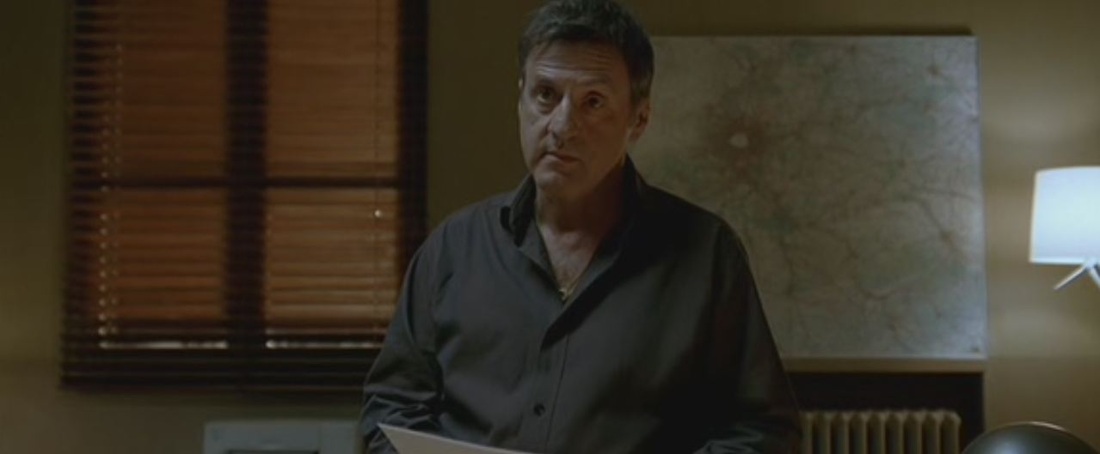 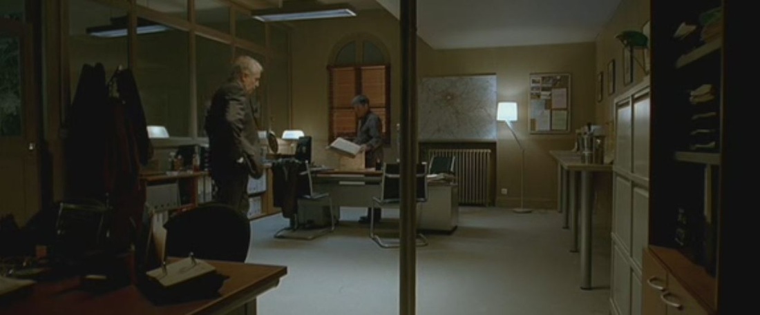 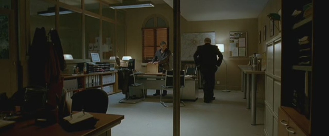 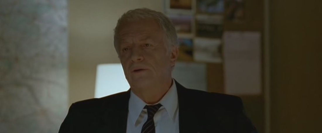 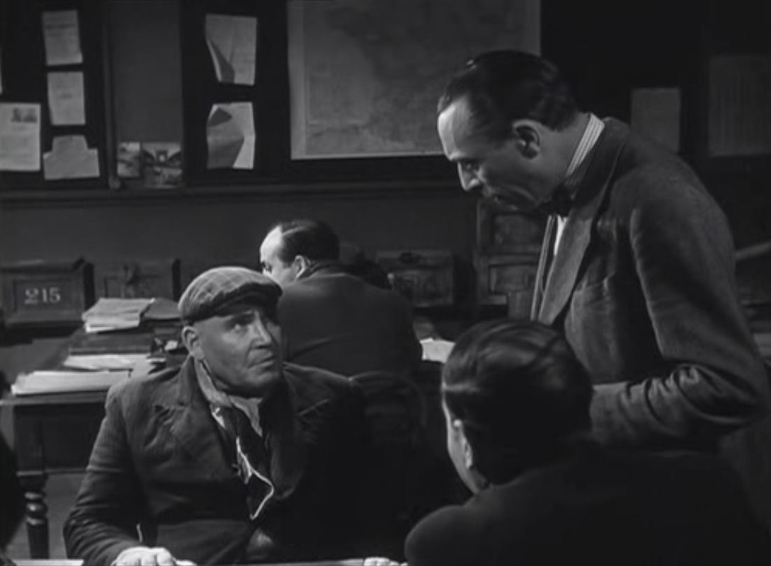 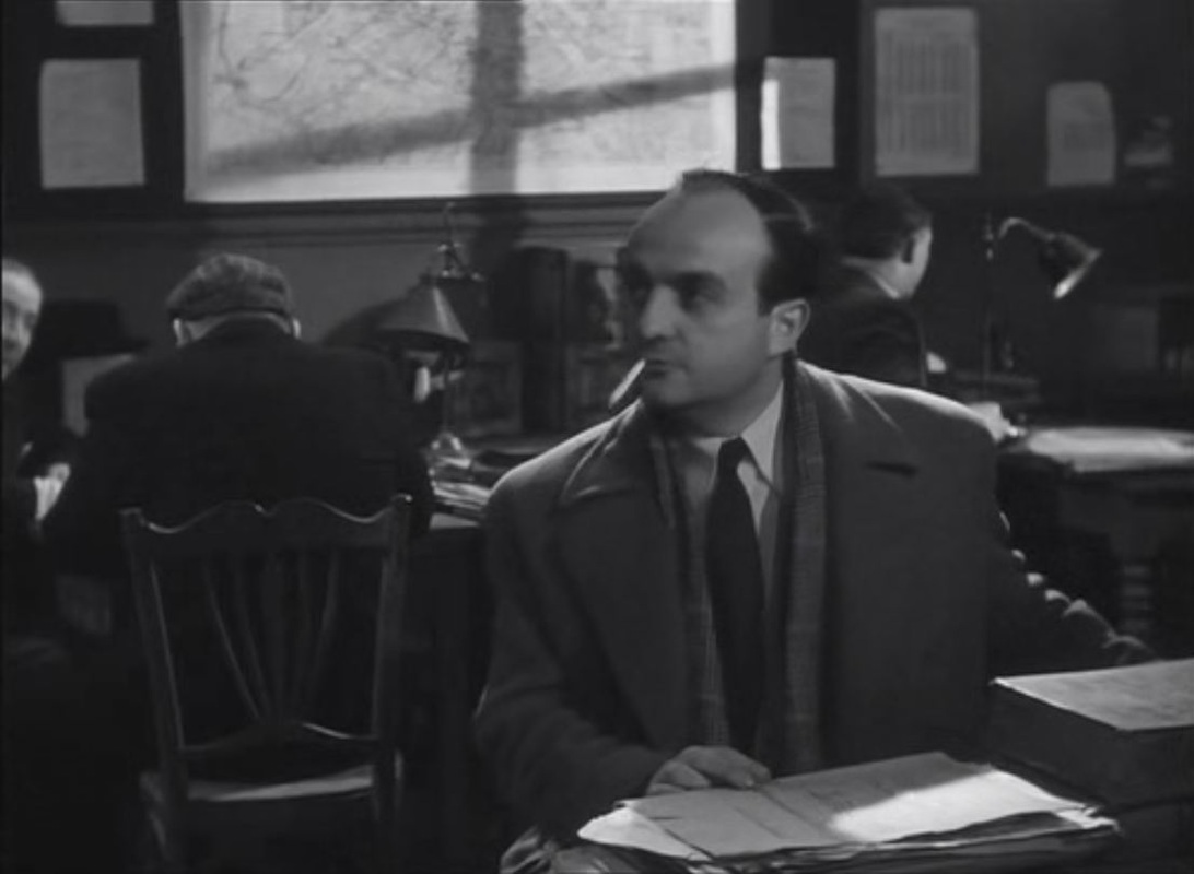  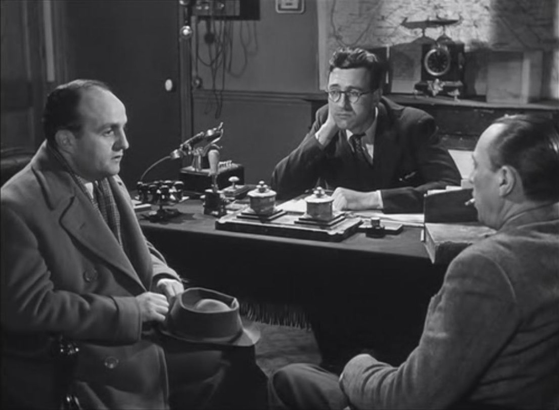 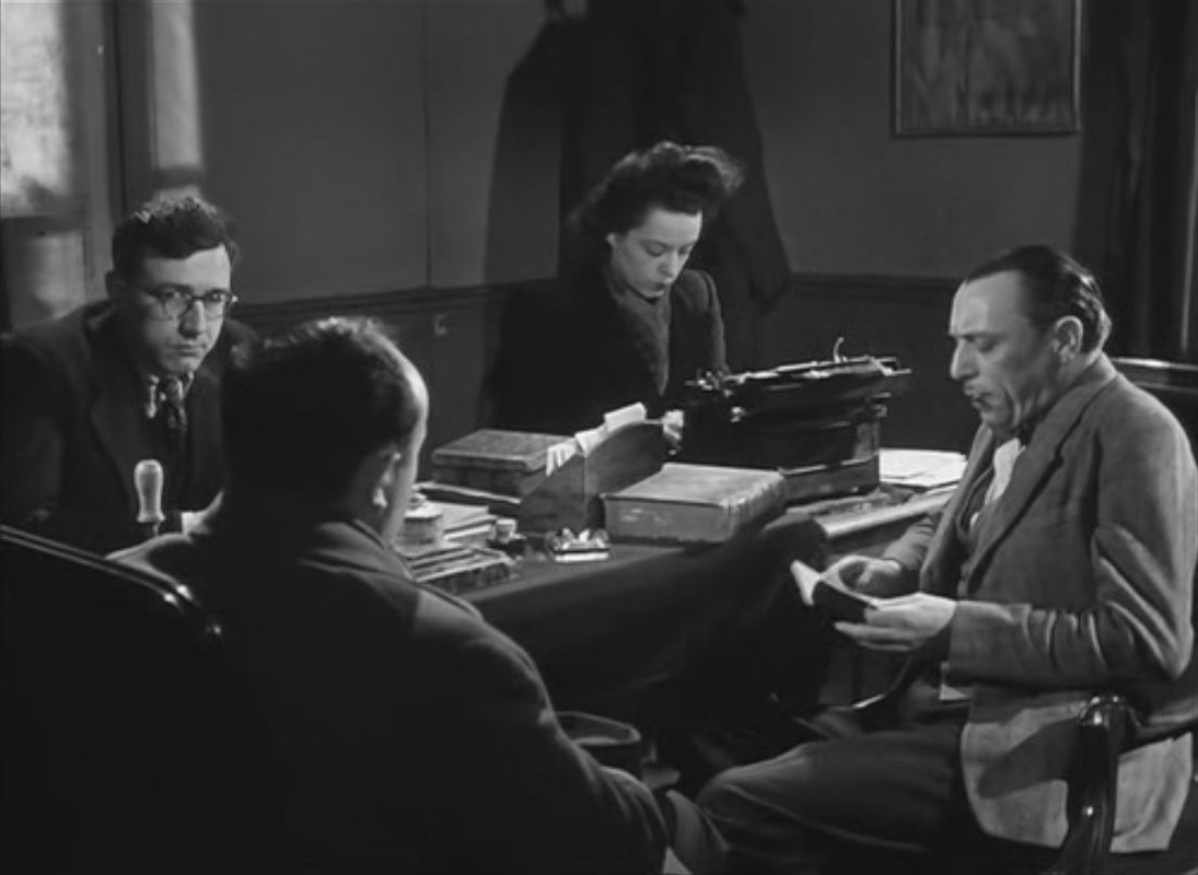   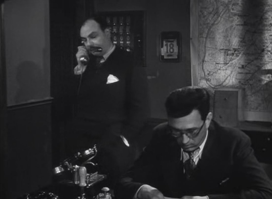 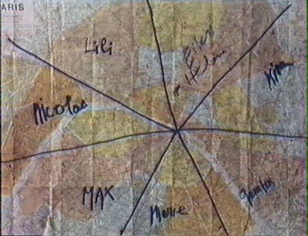 To find someone seen at a porte de Paris, the members of the group divide up Paris and each make enquiries with a photograph at a different crossing point into the city. 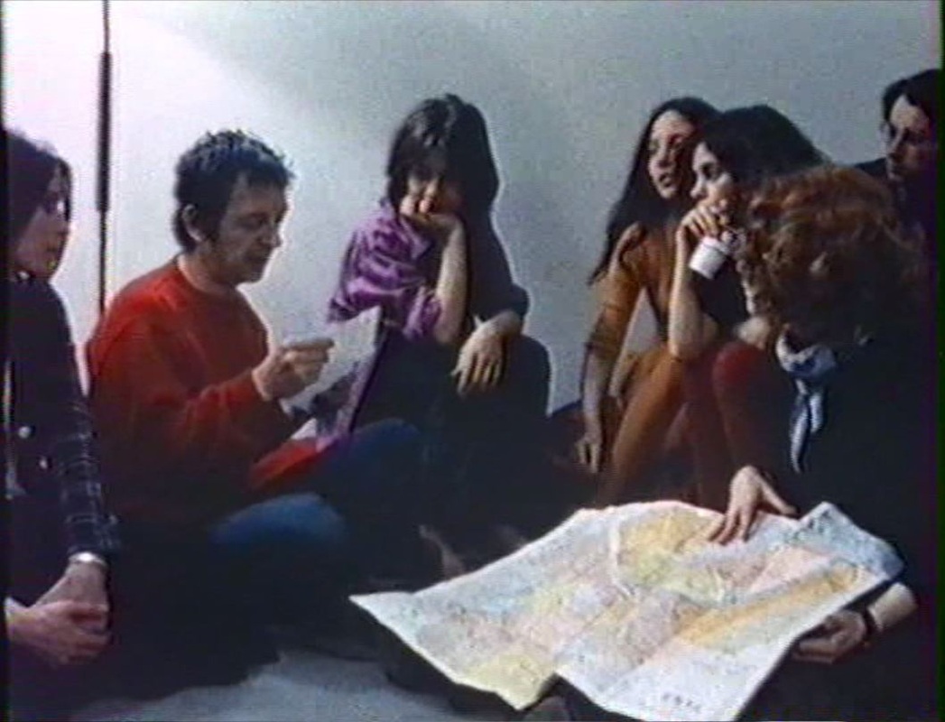 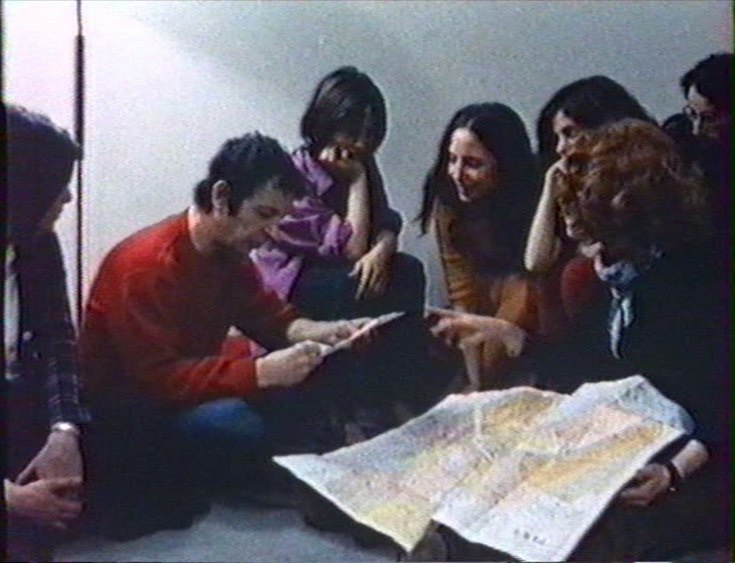 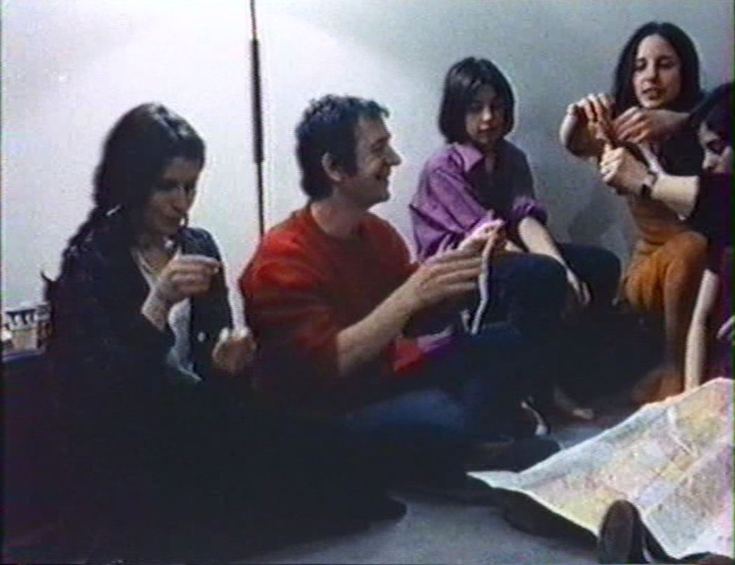     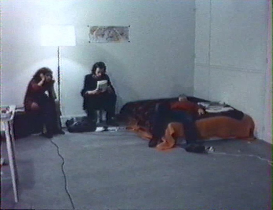 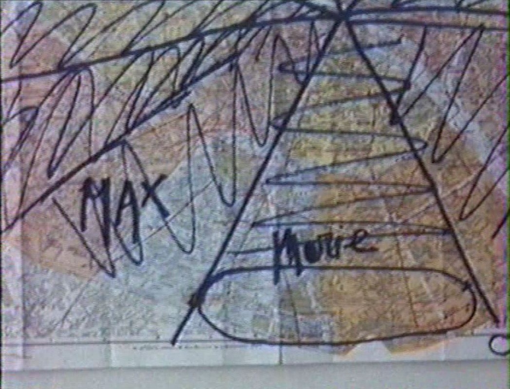 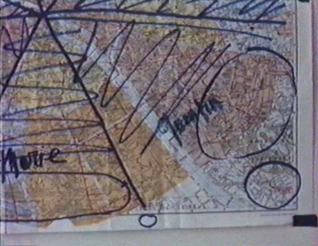 At the edges of the city there are also maps: 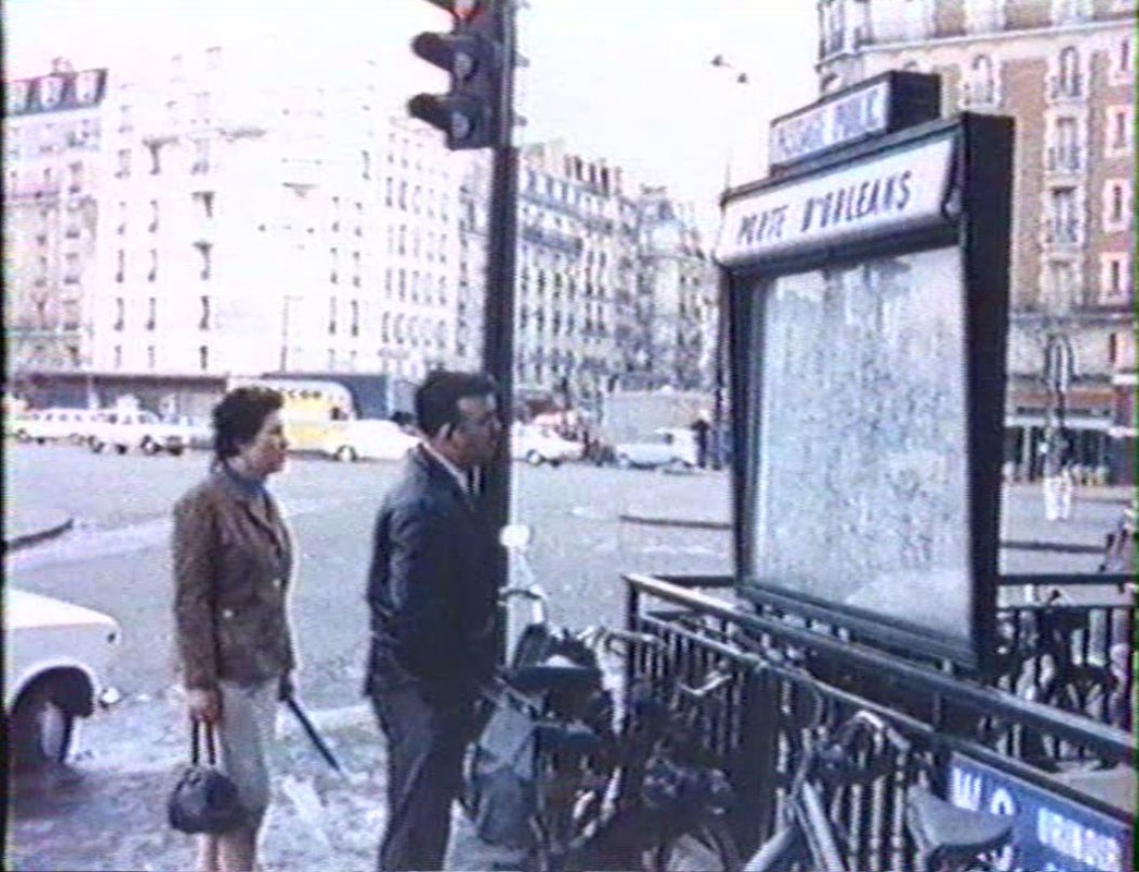 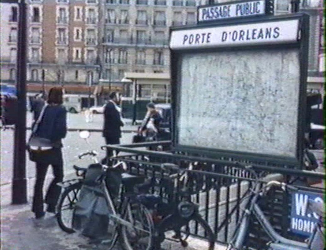 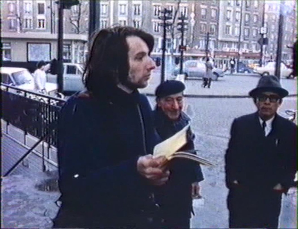 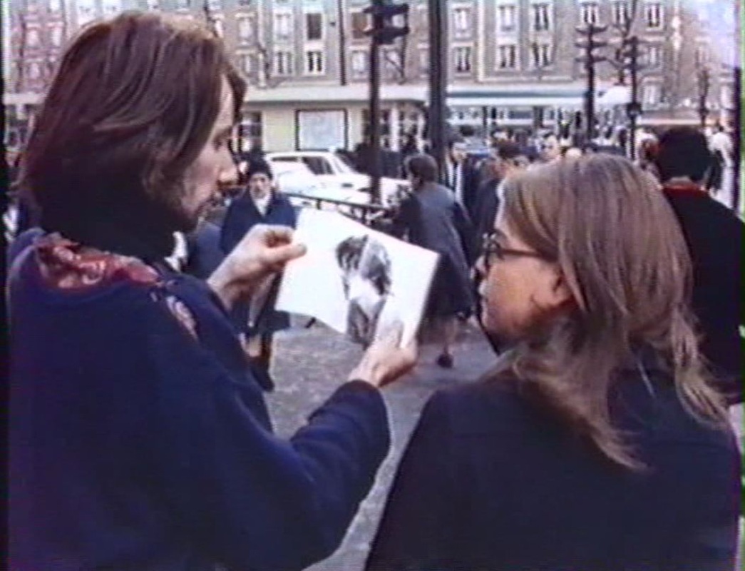 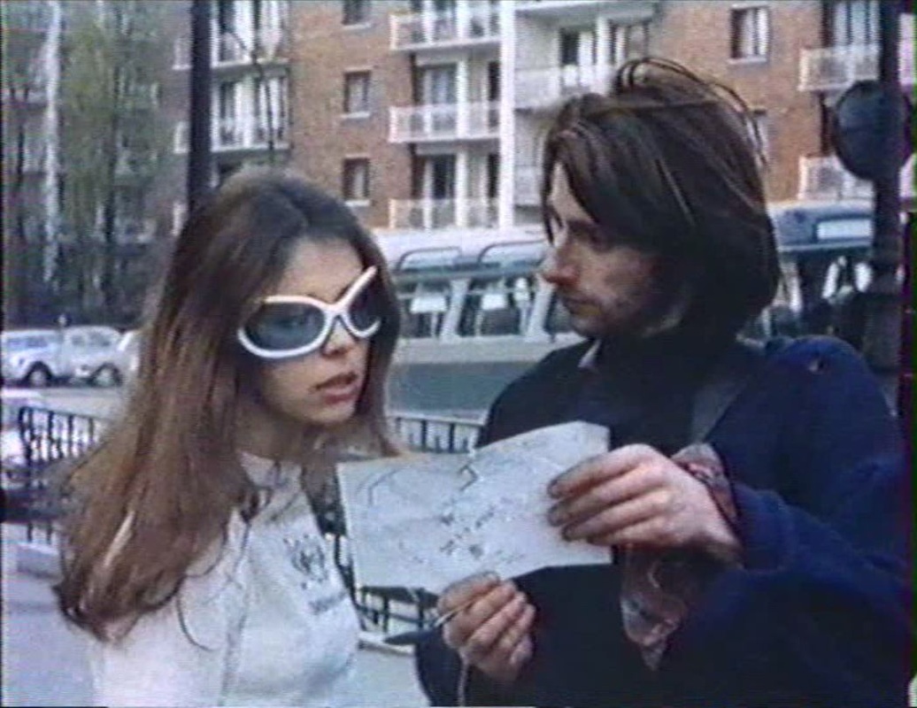 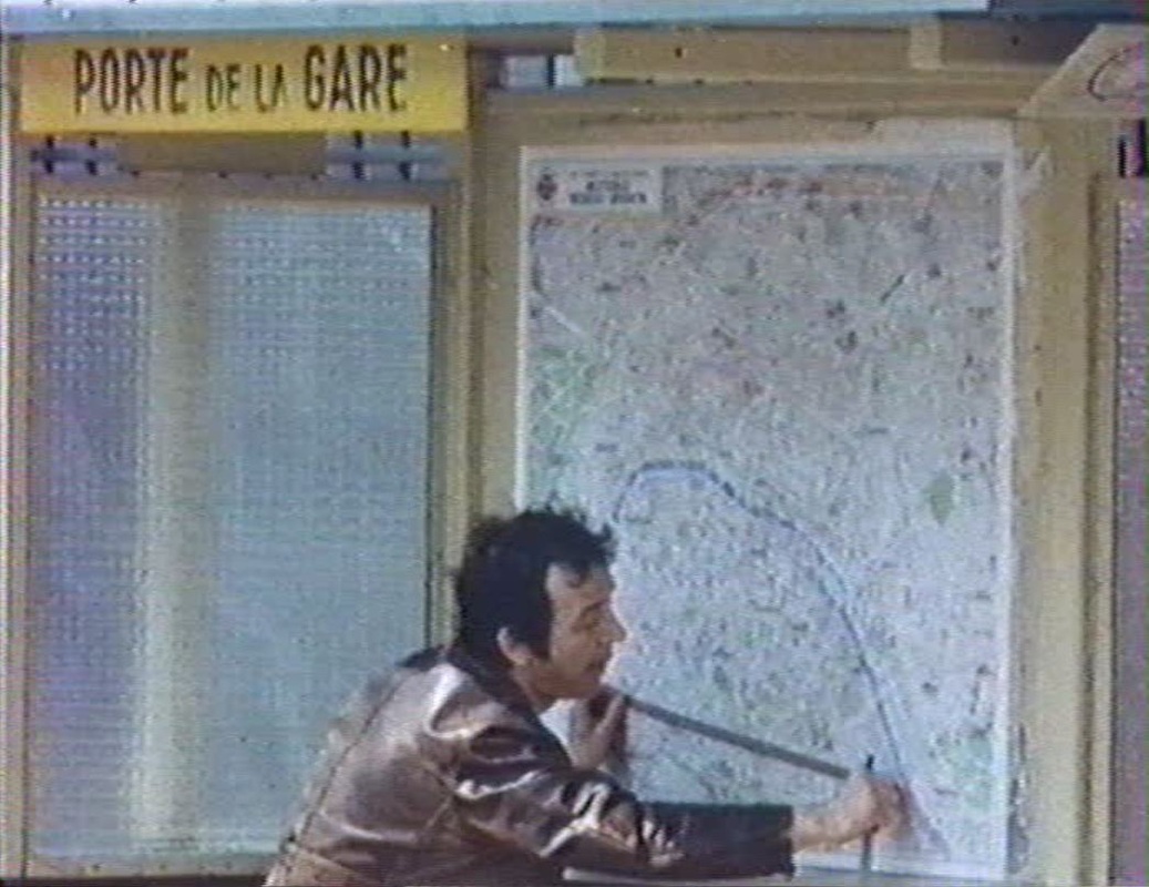 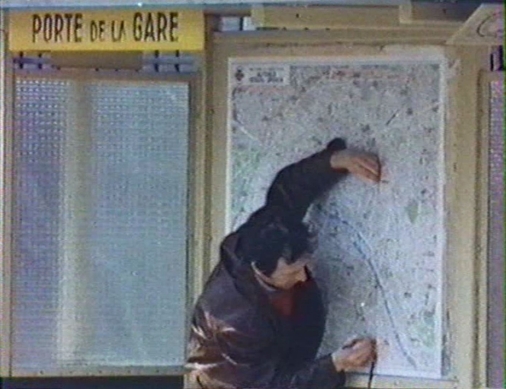 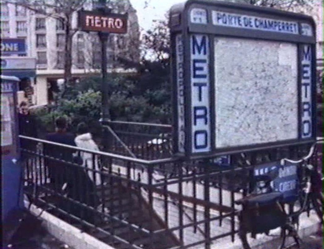 |