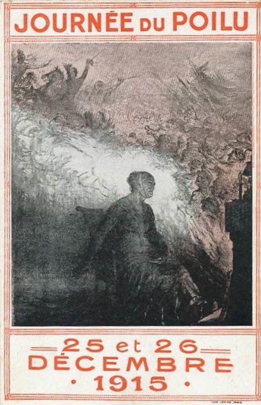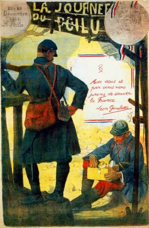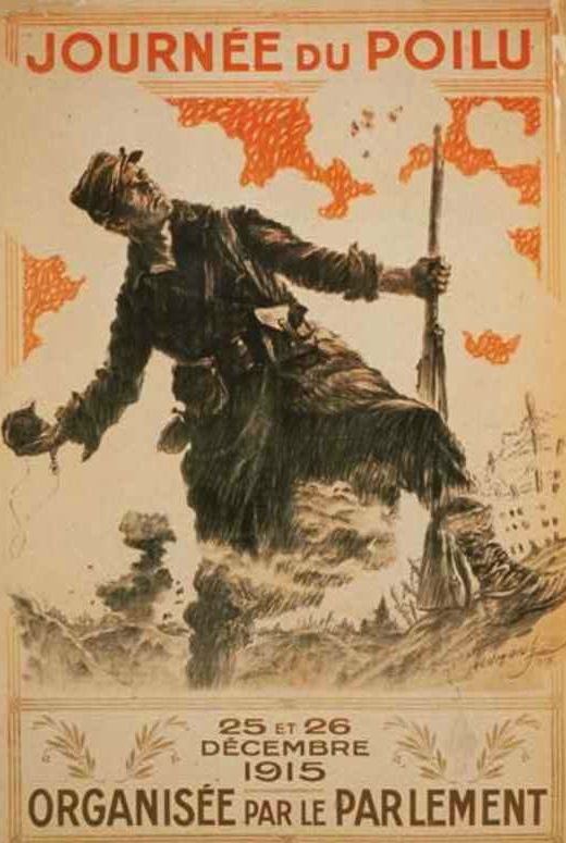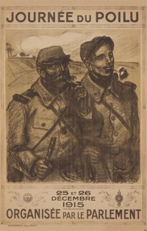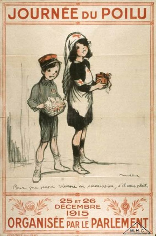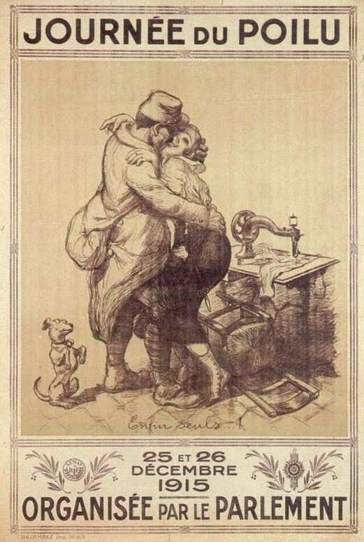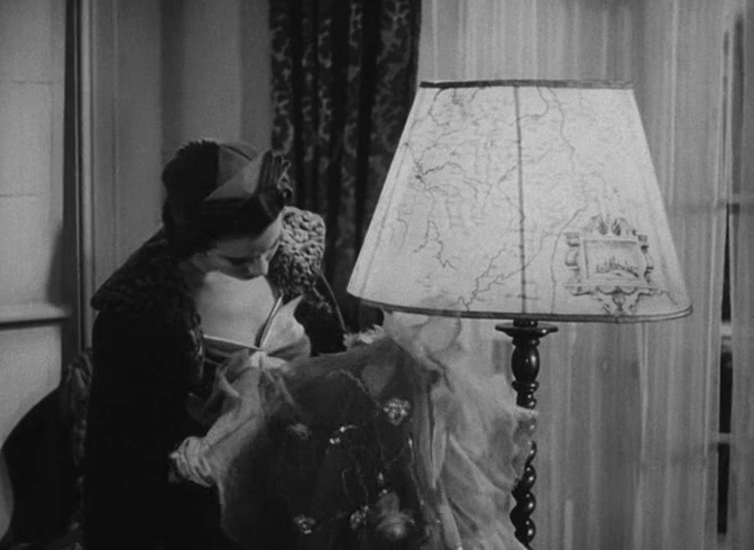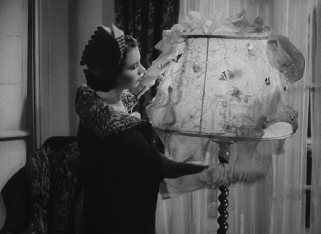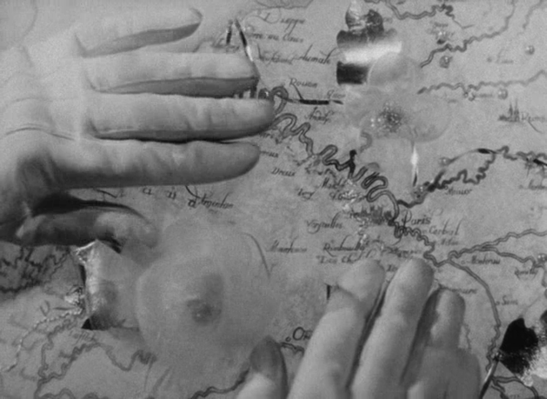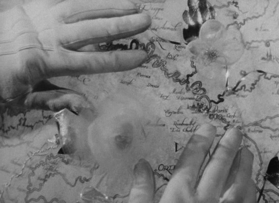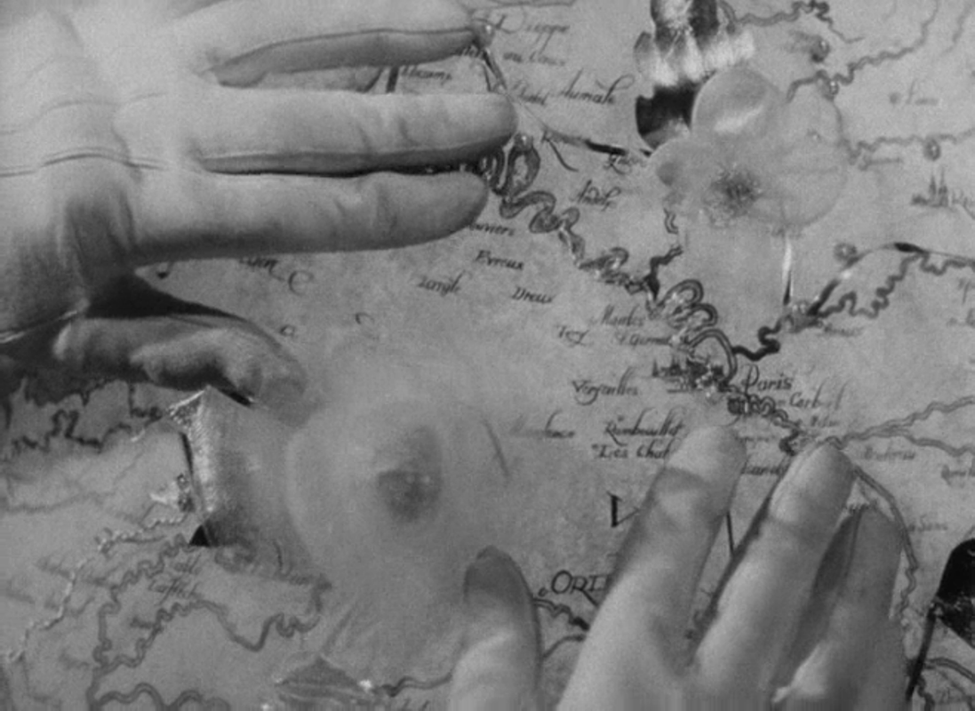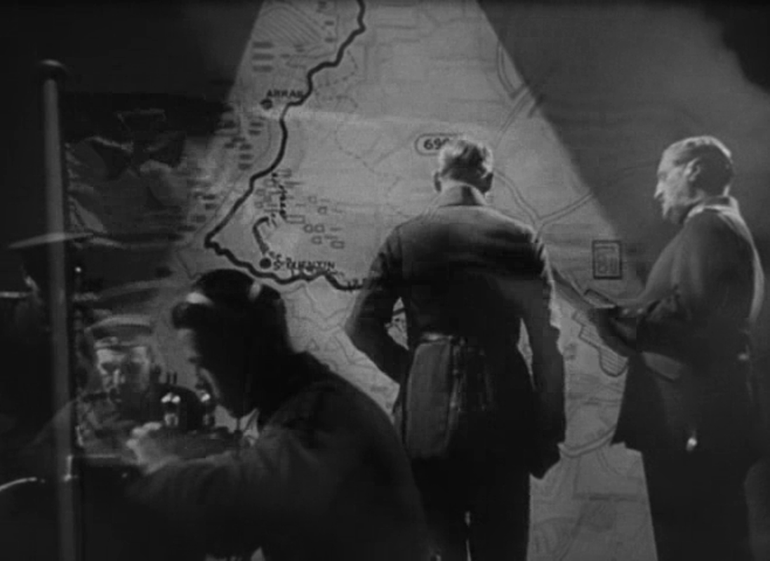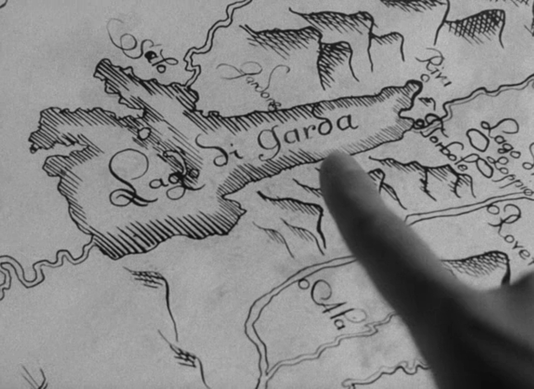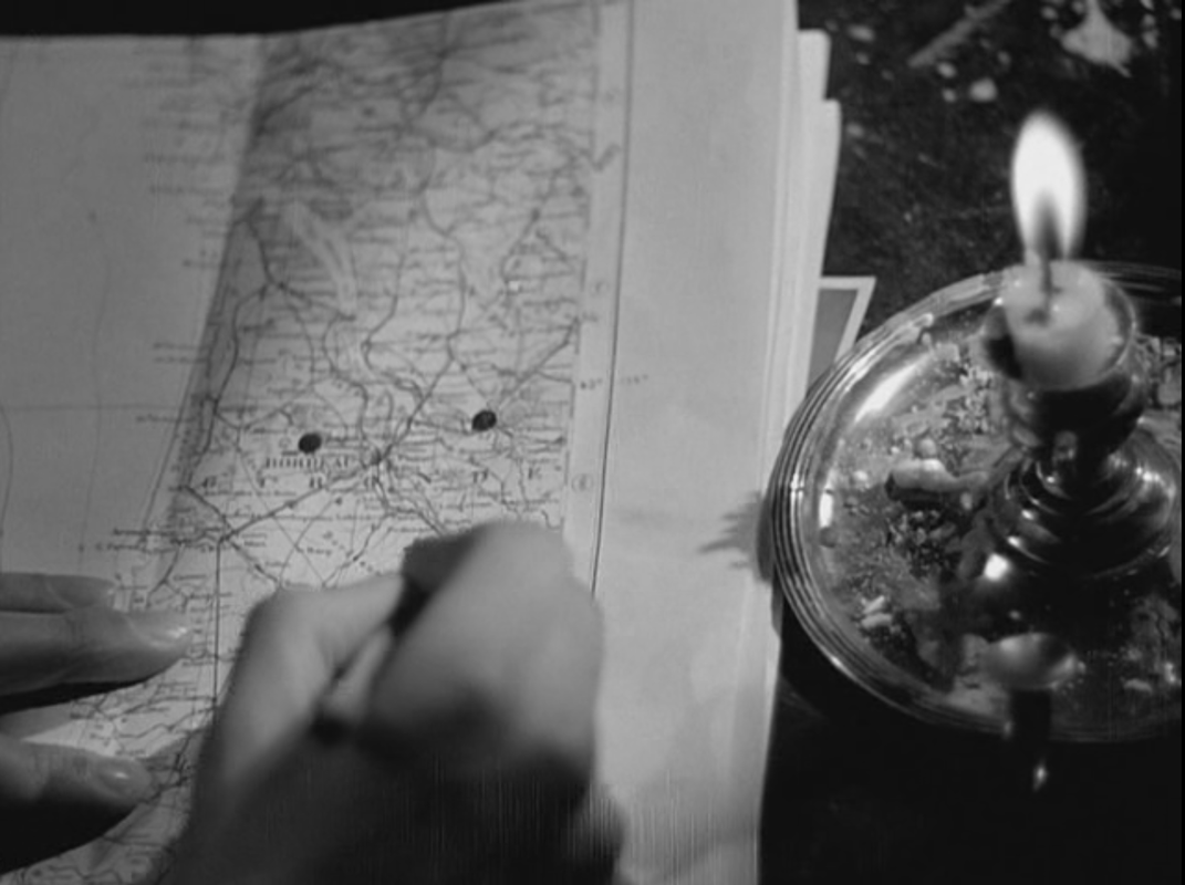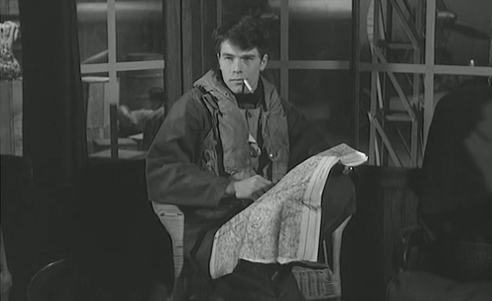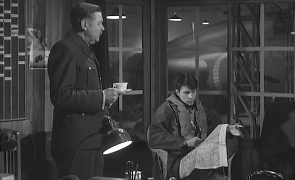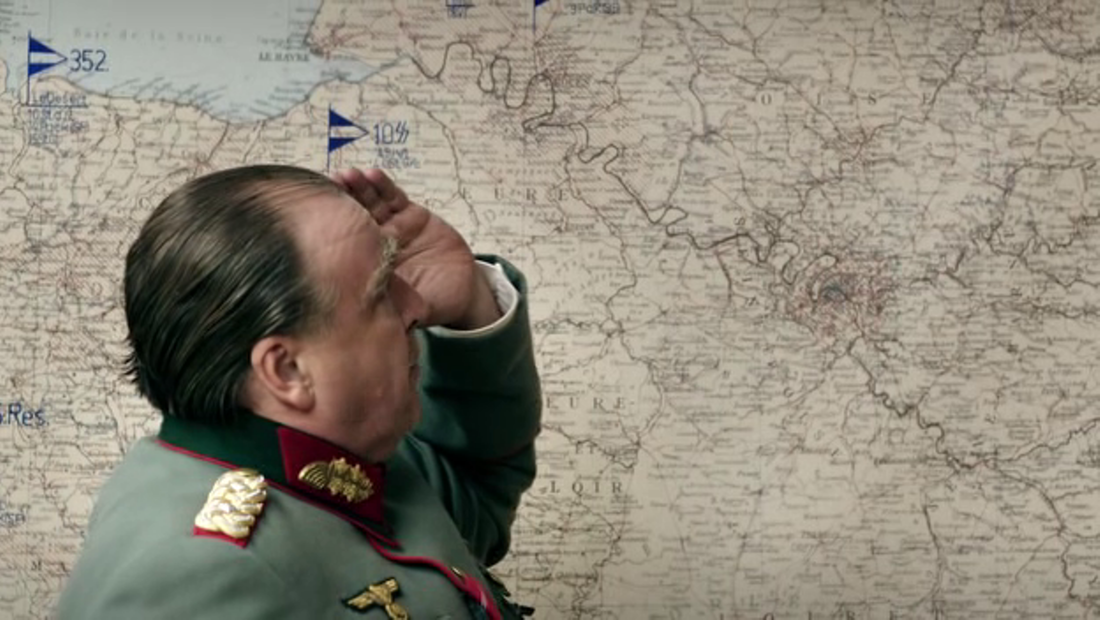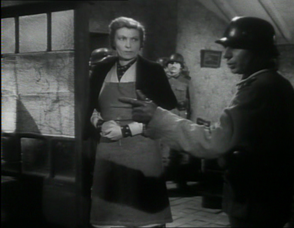
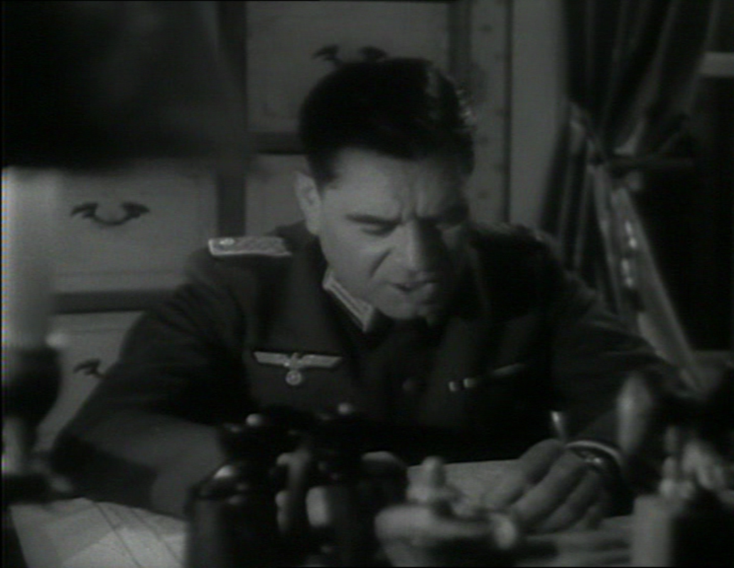
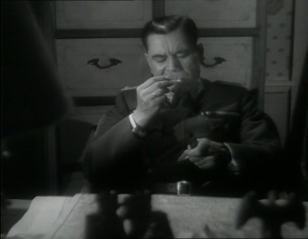

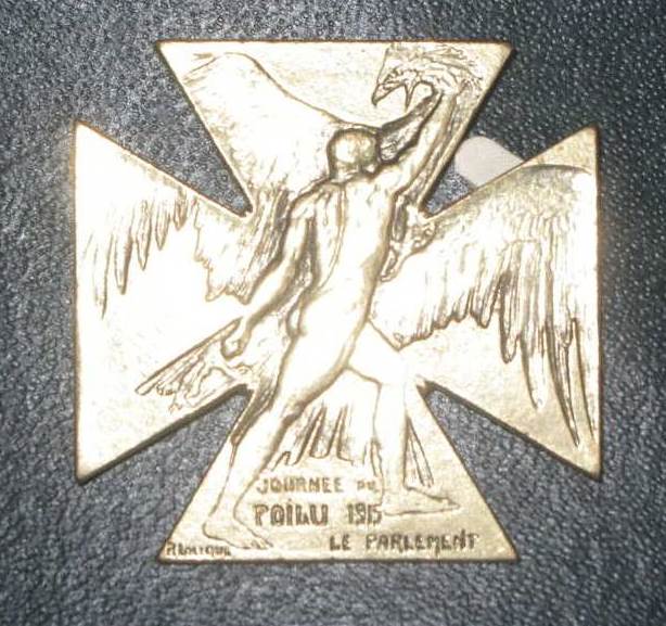
           The second of the film's two map moments shows an officer at the Front, considering the military situation: 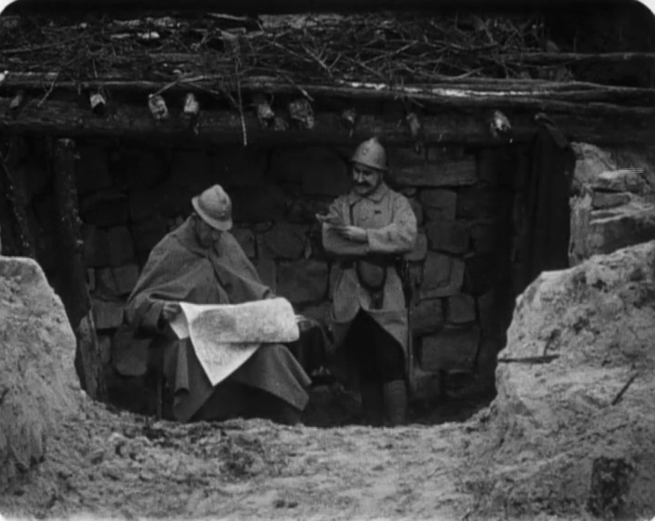 Earlier, in occupied territory, a soldier's wife points out to their daughter where the Front is, and where her father might be: 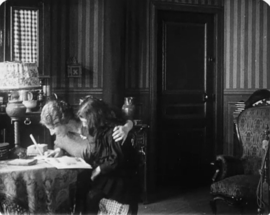 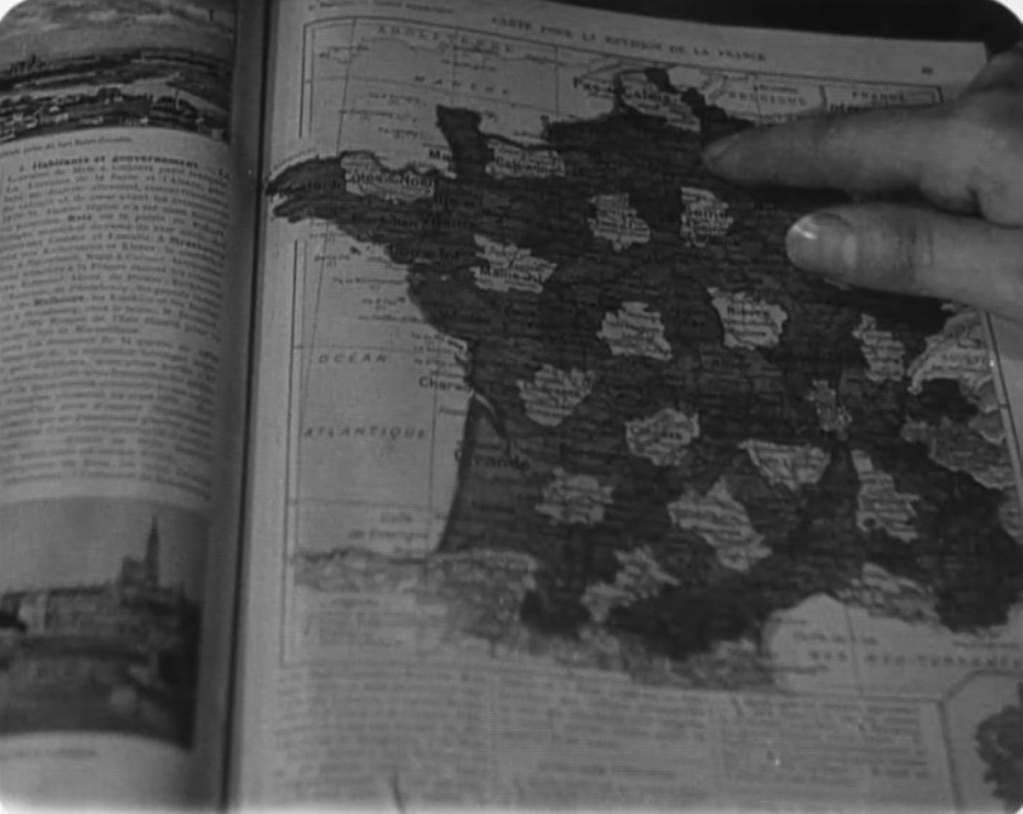 (See here for other map moments from the 1914-1918 war.) 100 years ago, the French parliament organised two days of fund-raising across France for the benefit of soldiers at the Front. Artists were commissioned to design posters and medals for sale or auction. Special events were organised, including film screenings. See here for various documents related to the journée. Feuillade's film shows the surprise reunion of a soldier with his wife and daughter at precisely this time, Christmas 1915. Without relating specifically to the journée, the film embodies the spirit of such enterprises. 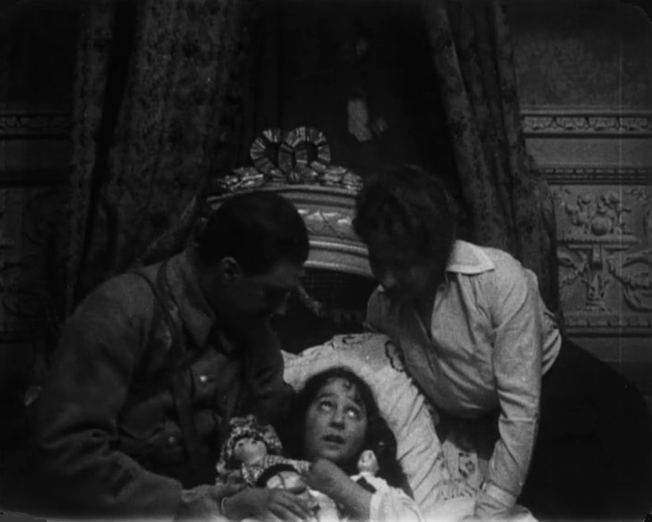
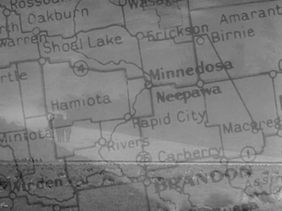
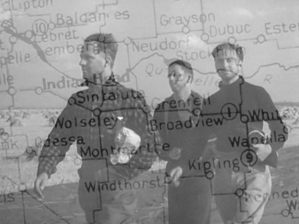
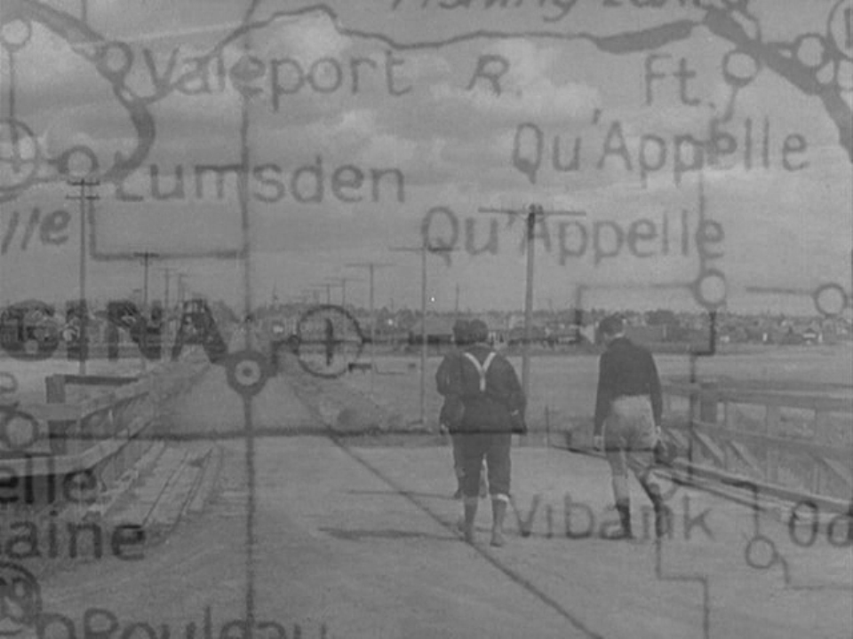
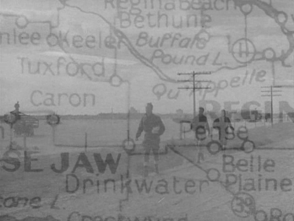
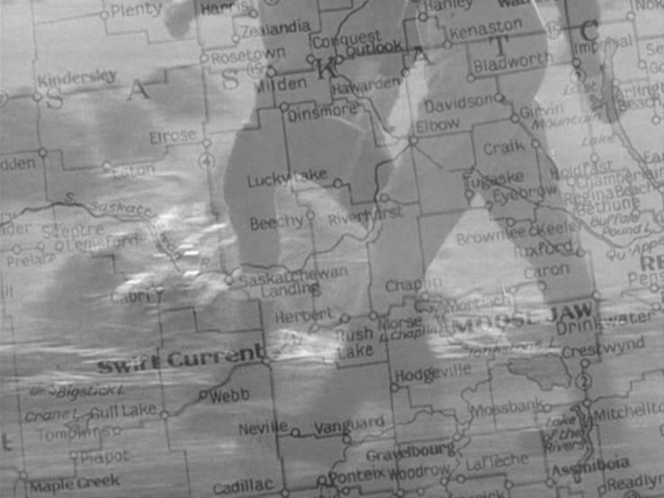
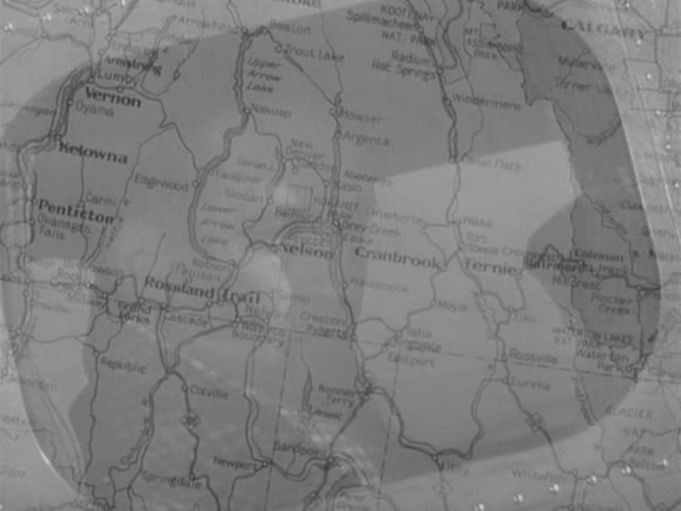
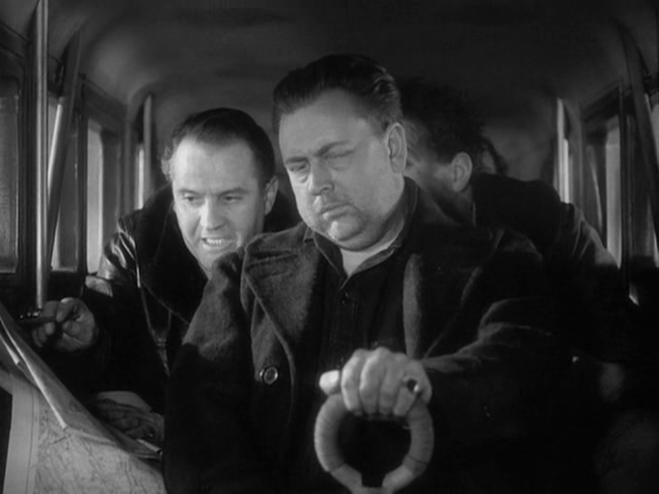
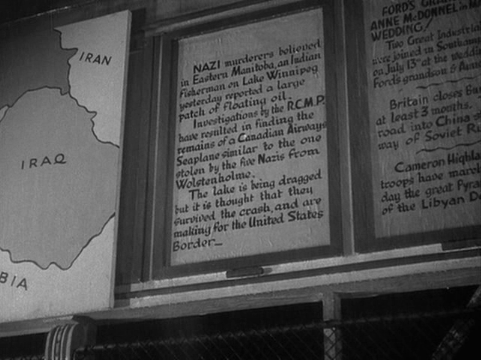
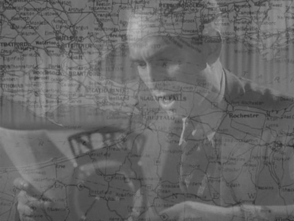
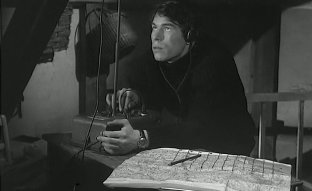
 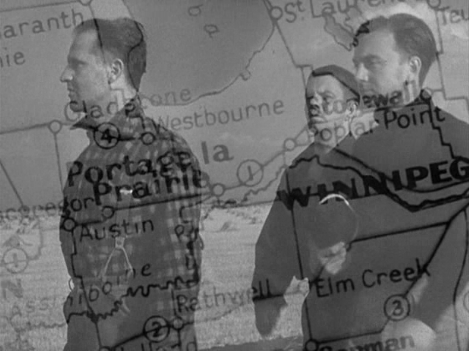 With at least 23 different views of maps, 49th Parallel is one of the most map-intensive feature films I have come across. The film is also distinctive in its insistent correlation, as above, of the place on the map and the place in the film. The journey of the U-boat men towards the US border from Winnipeg is traced on the map, each time presented as a dissolve out of the real world and then back into it:
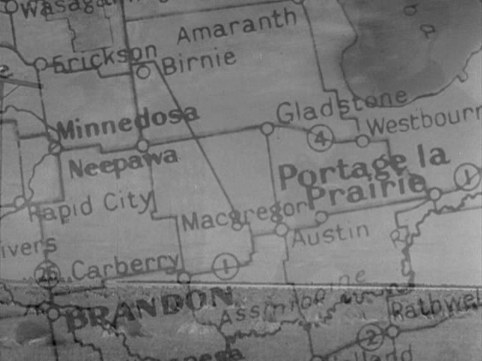
Canada as setting is established in the film's opening by the same procedure, passing from an aerial view through clouds to a view of a map then to a view of a specific place on the map: Through most of the film similar dissolves to and from maps establish connections between an action and a locality:
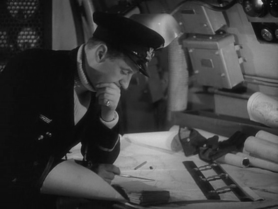
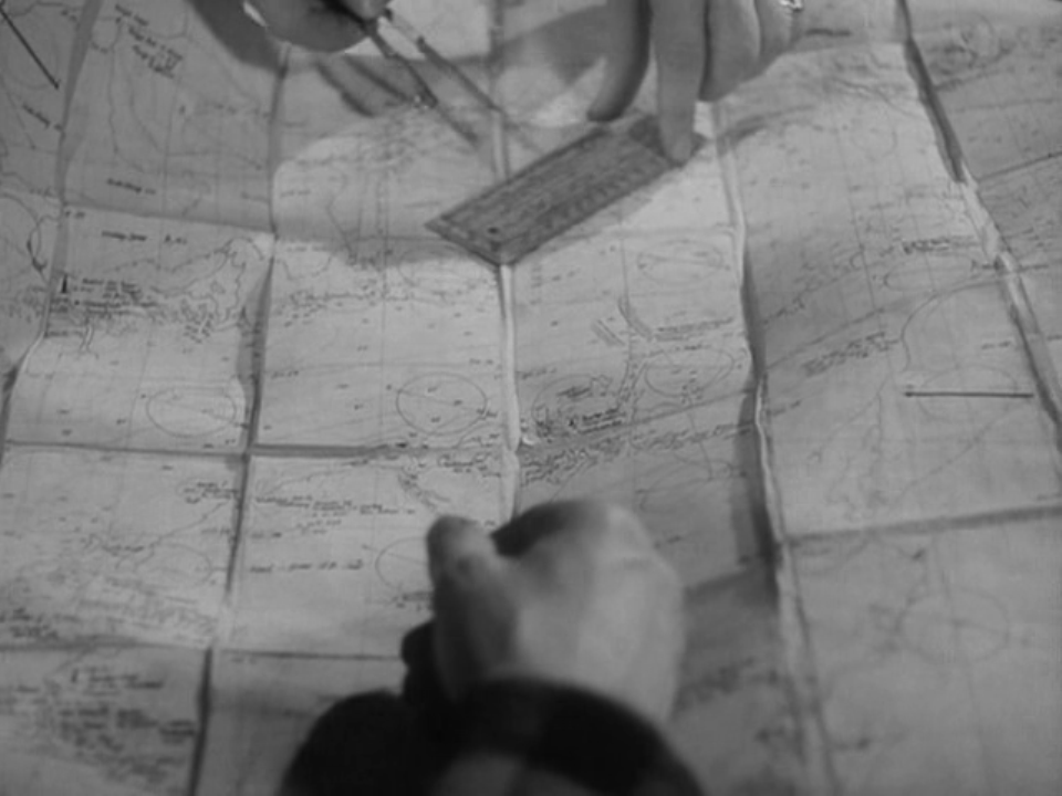
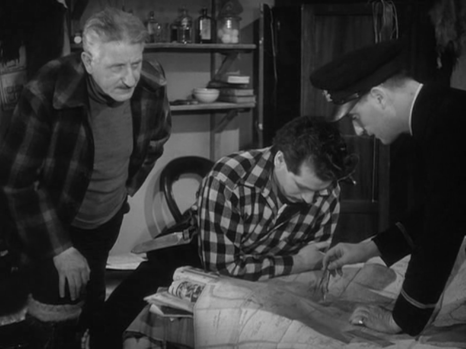
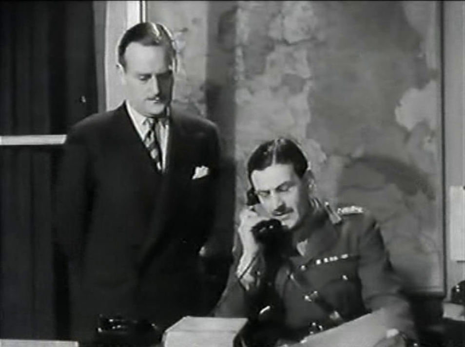
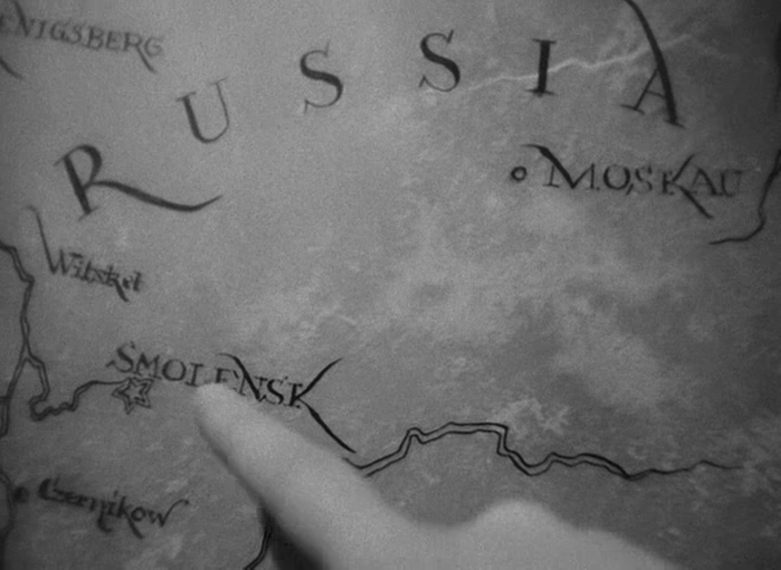
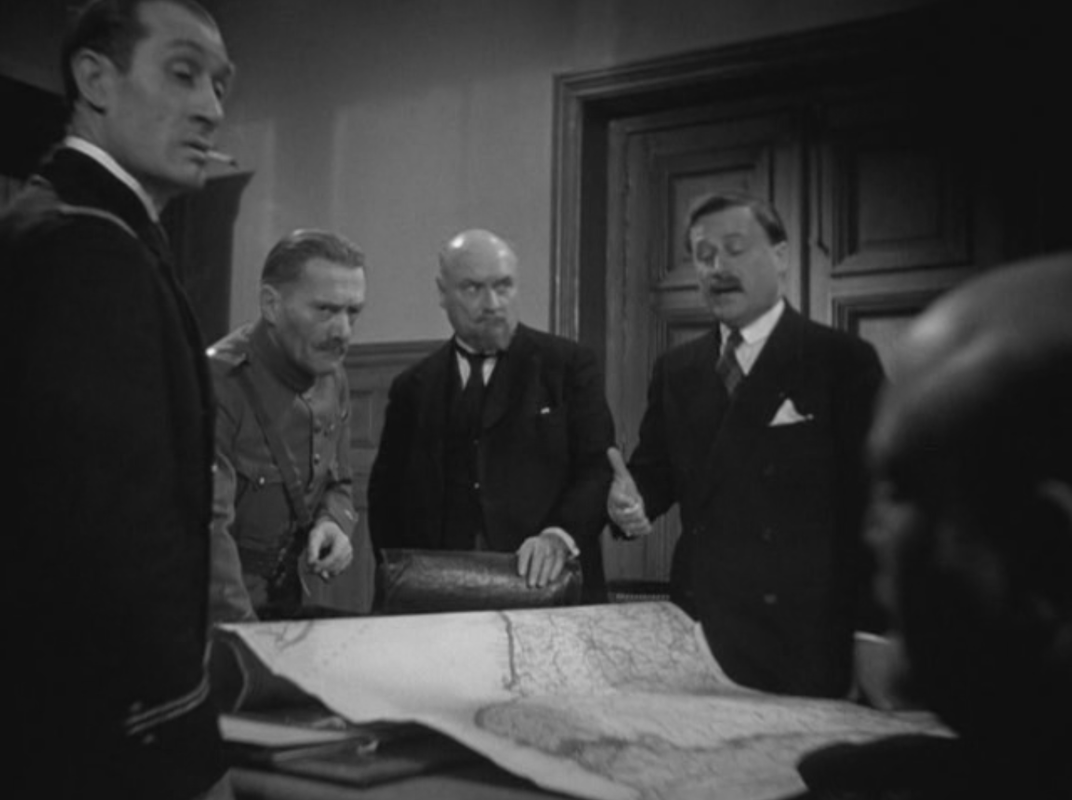
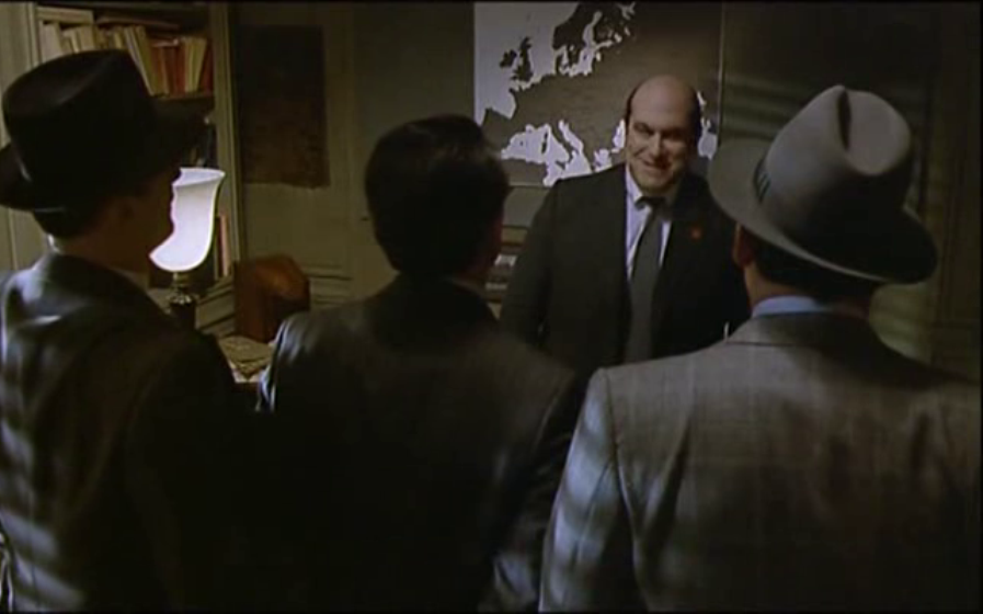
One of these transitions speaks of the complicity between cinematography and map-making through a correspondence of shapes, if not an exact topographical match: Maps also appear within the diegesis, unsurprisingly. The Germans consult them to know where they are or where they should head:
There are some maps in the background of scenes:
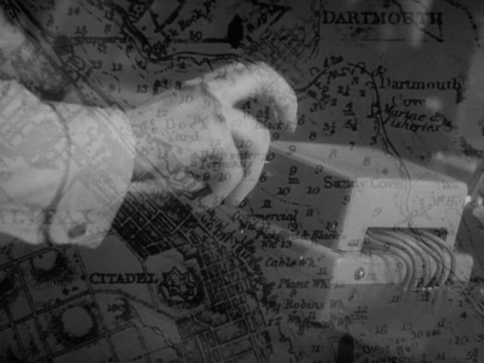
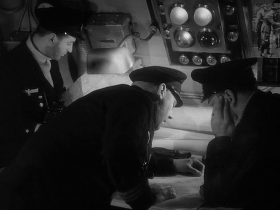
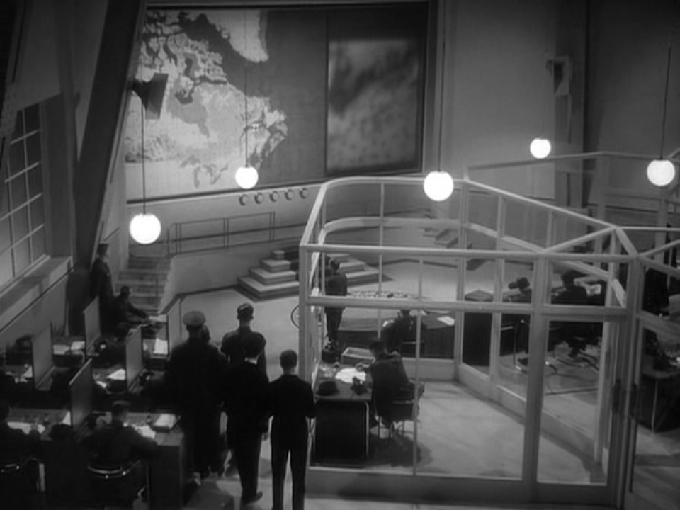
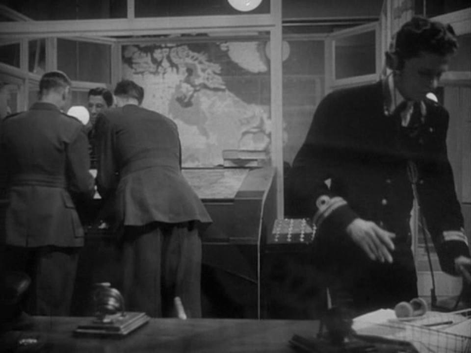
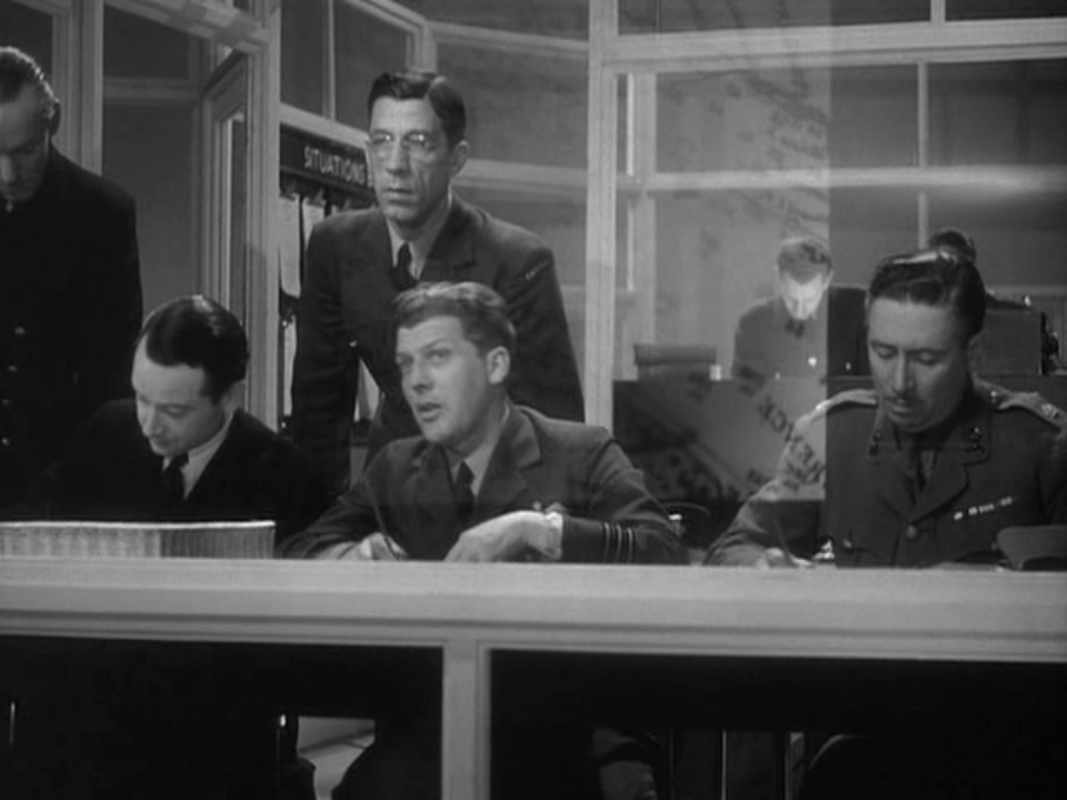
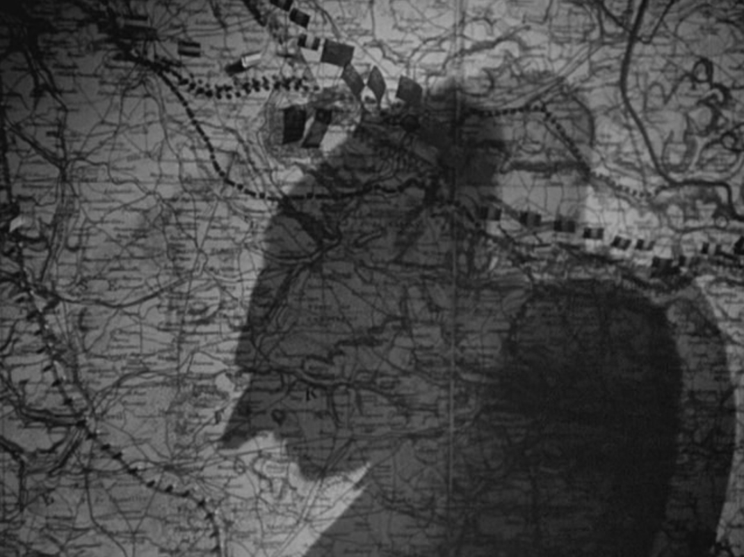
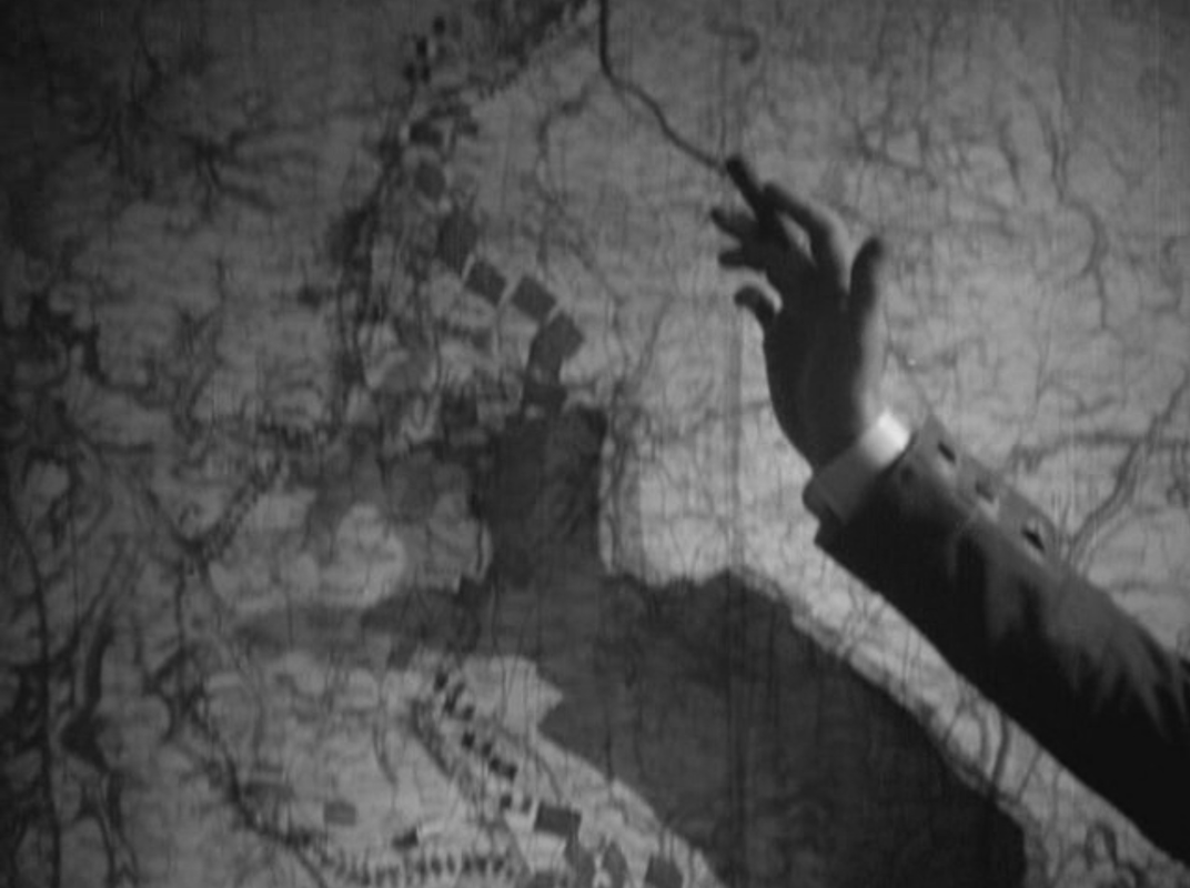
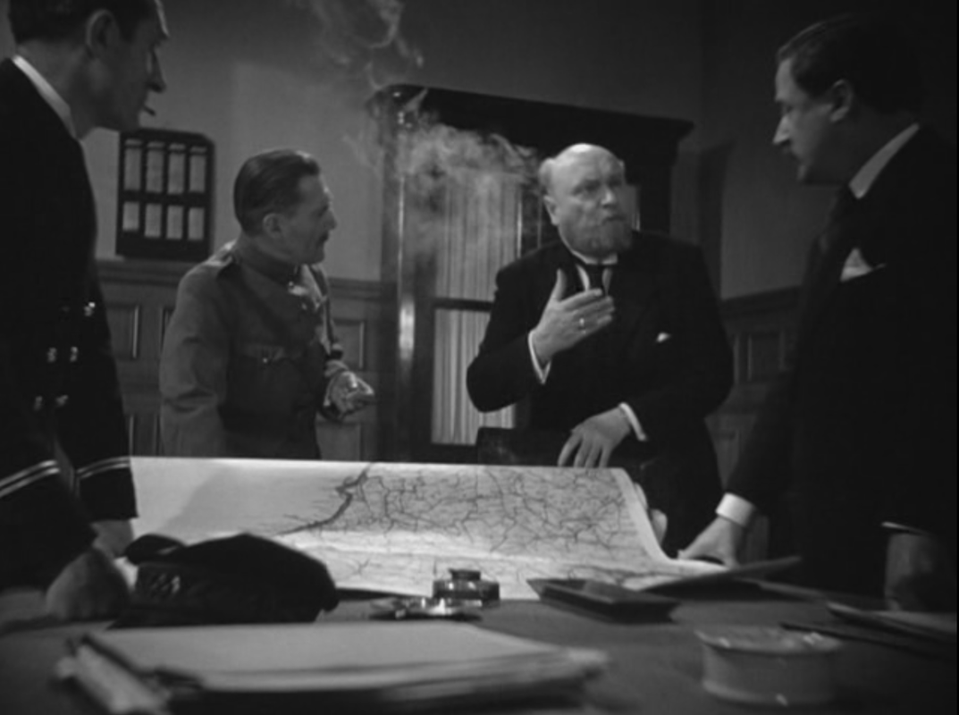
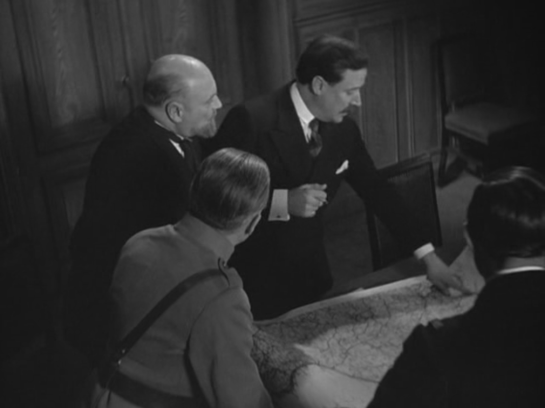
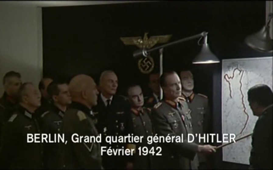
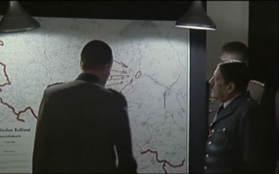
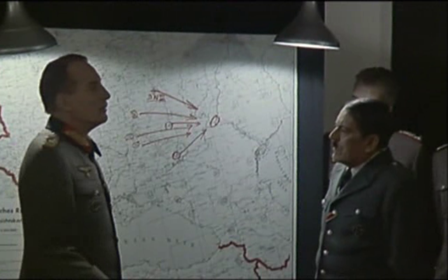
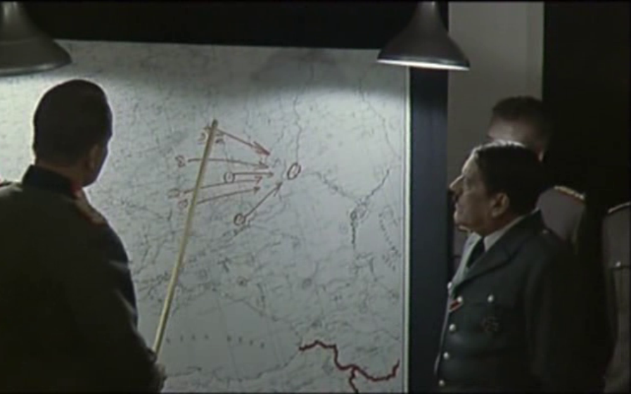
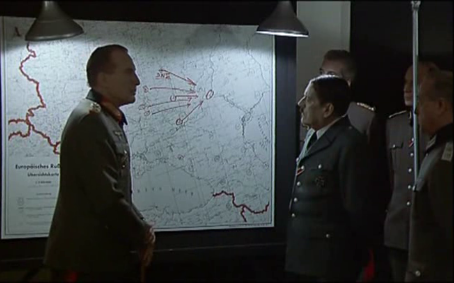
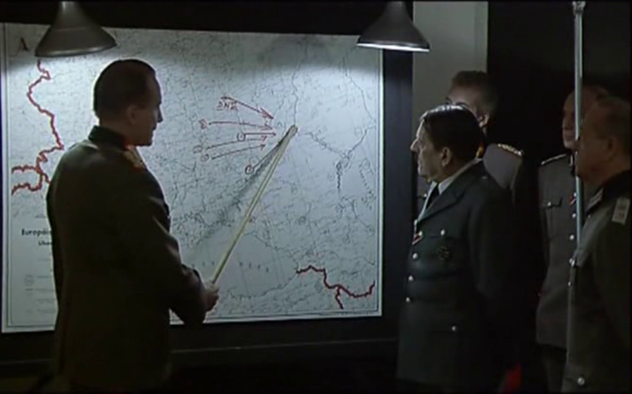
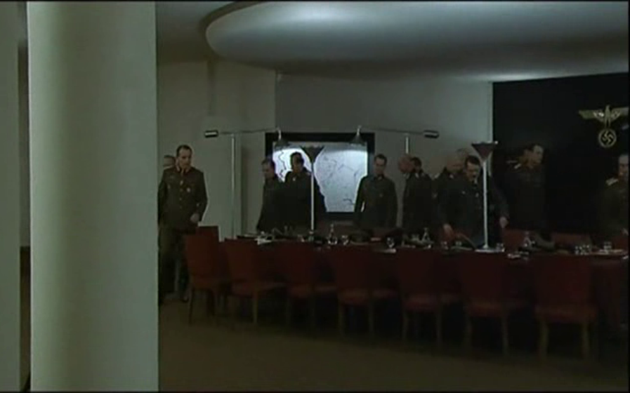
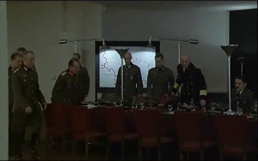
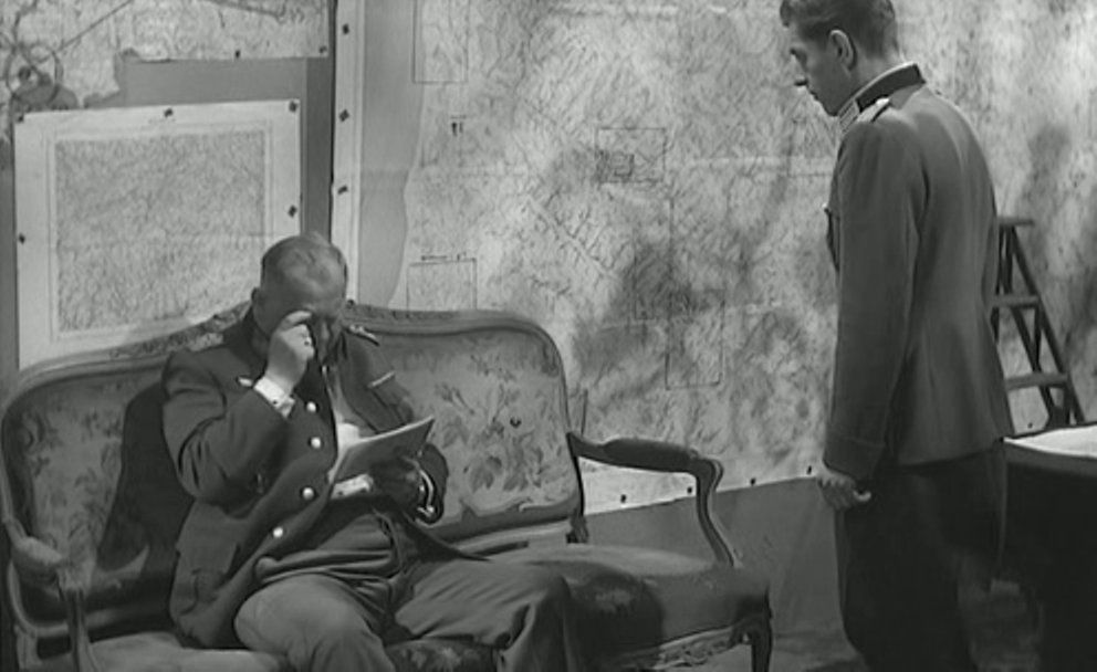
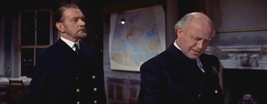
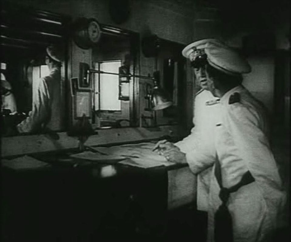
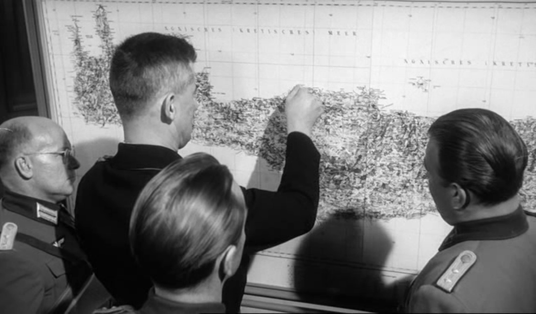
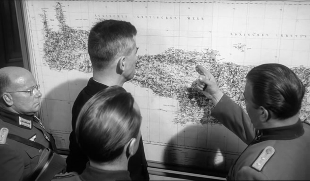
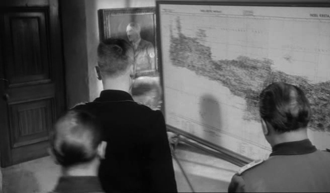
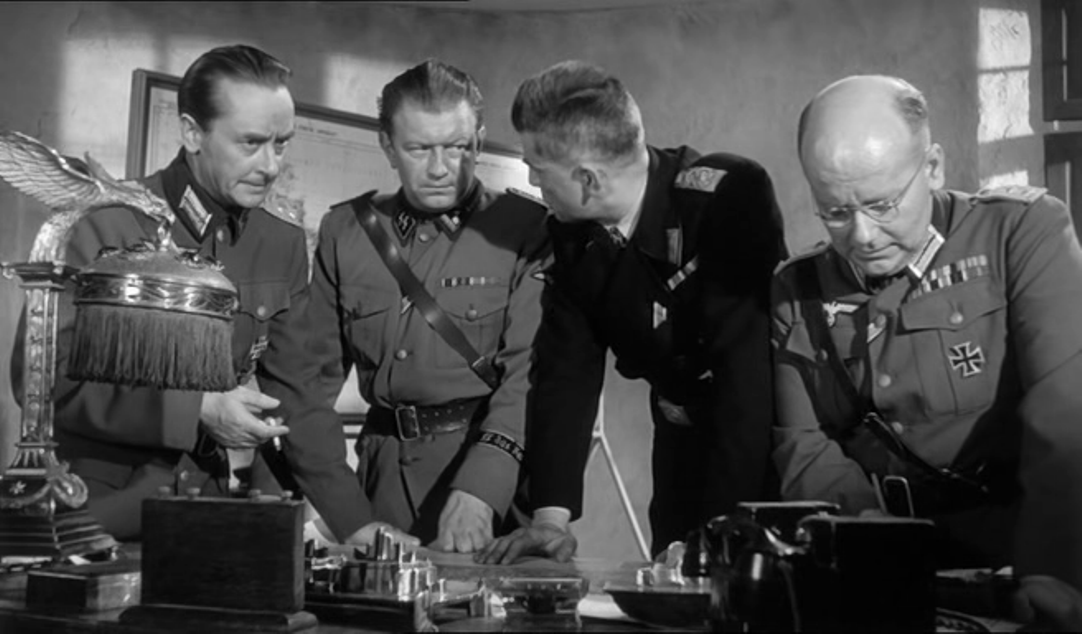
And in an impressive operations room, including a map with a screen onto which a detailed section is projected, still within the diegesis:
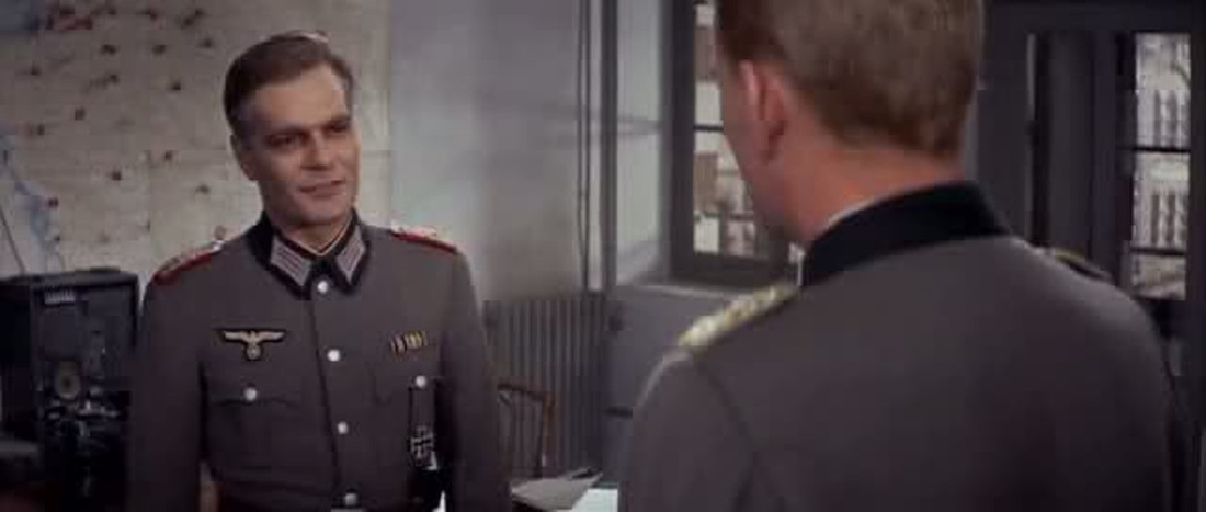
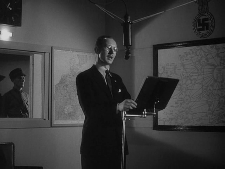
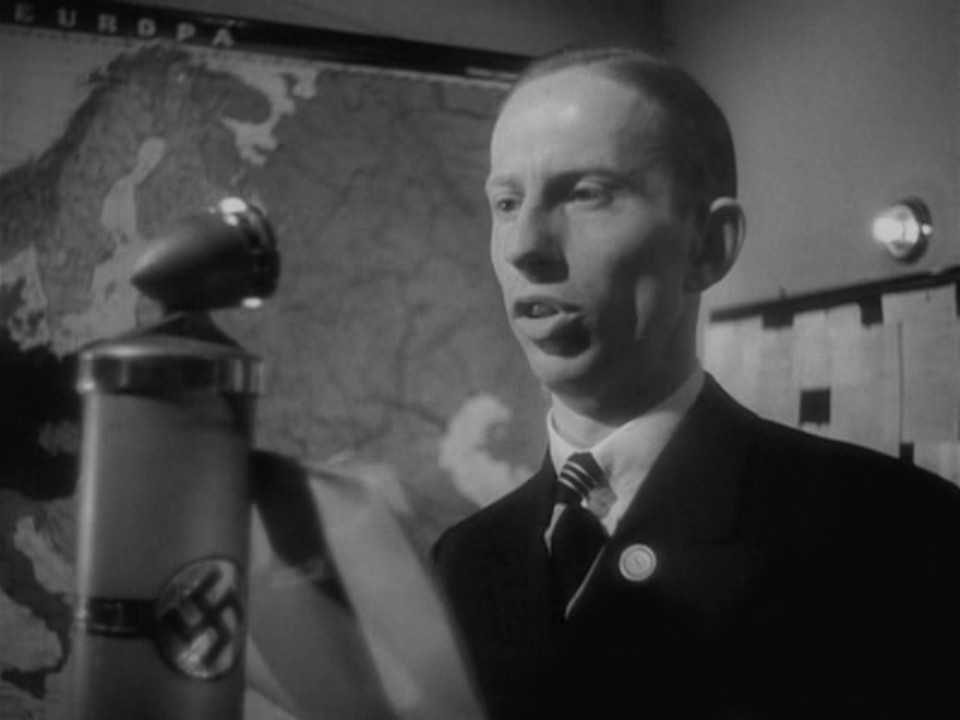
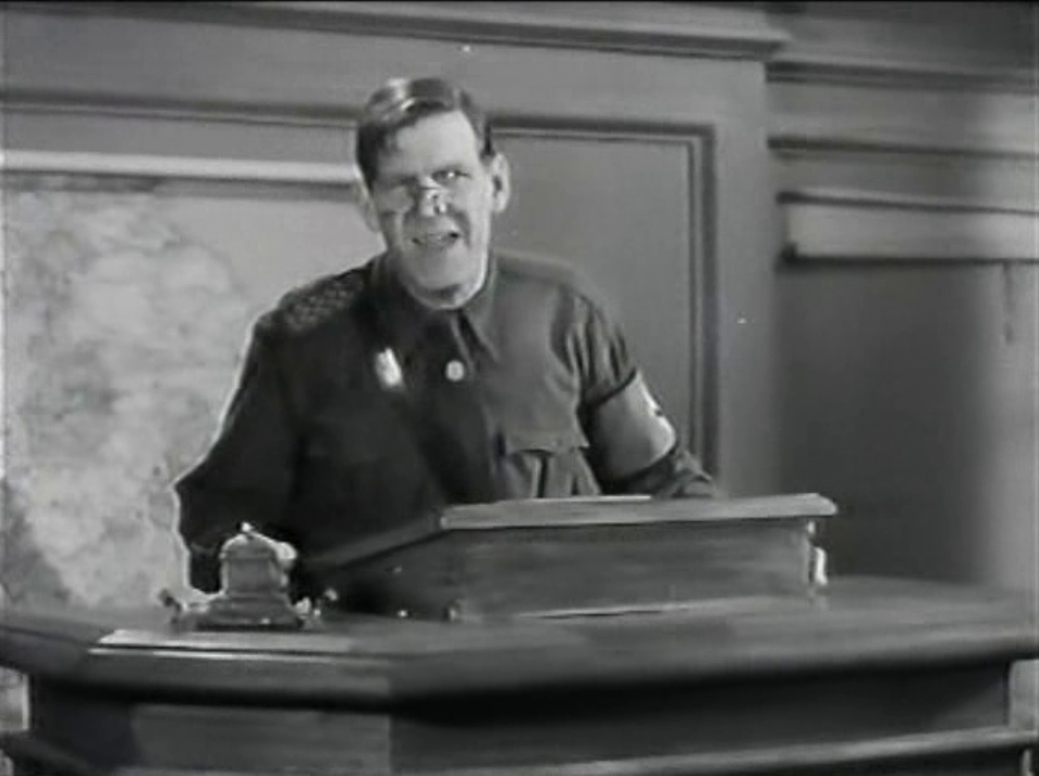
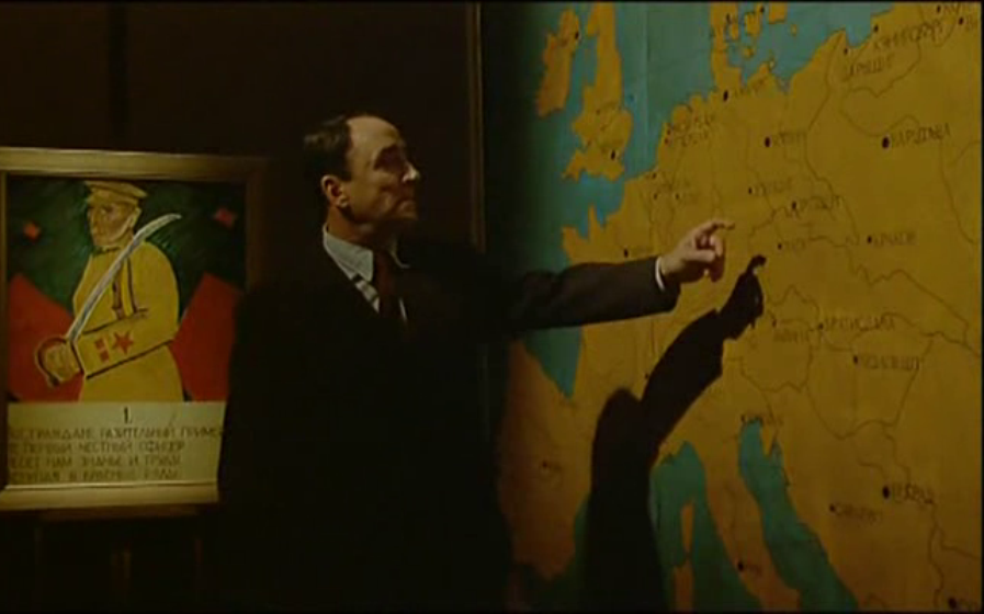
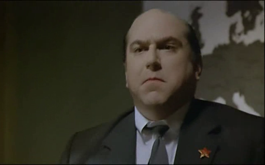
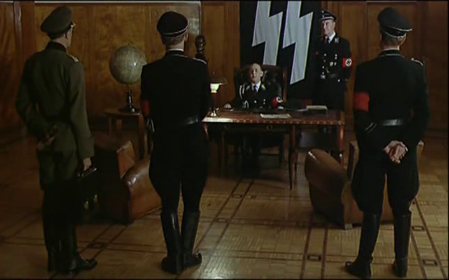
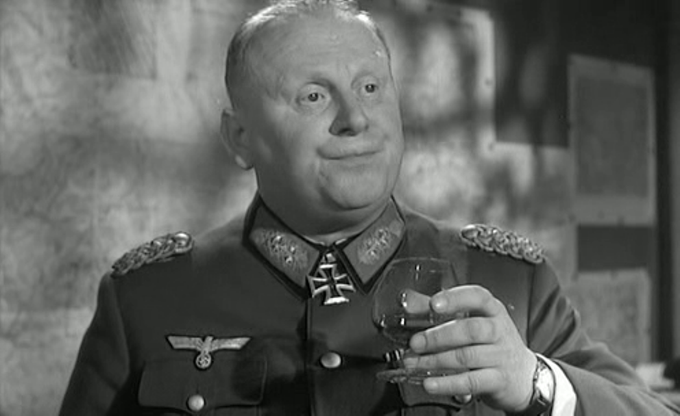
Towards the end of the film a competing cartography is presented through views of Nazi radio broadcasters standing in front of German maps:
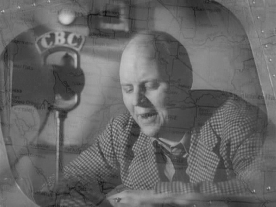
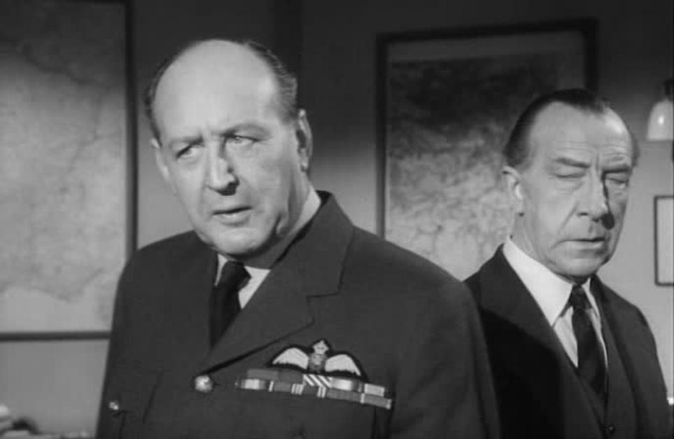
These are countered by views of Canadian broadcasters, sharing the authority of the film's narrative voice by dissolves to or from maps of Canada:
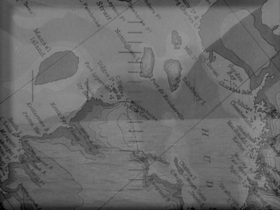
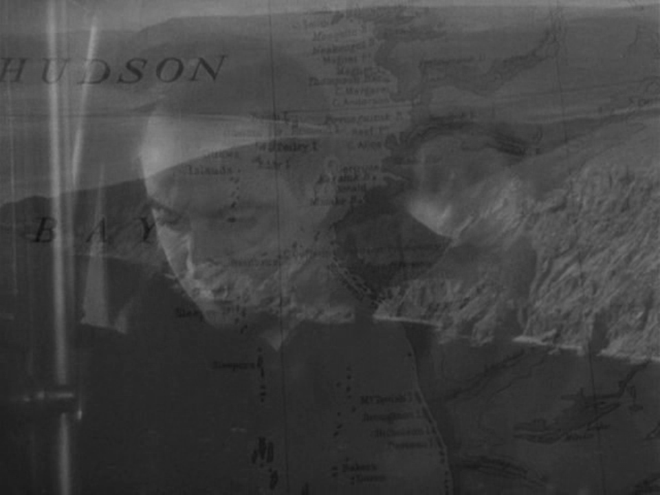
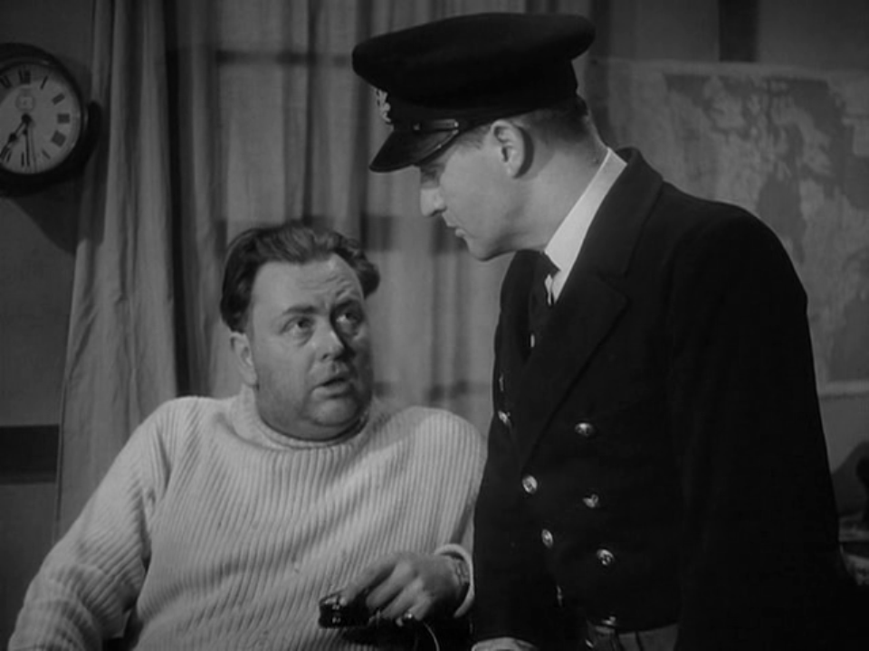
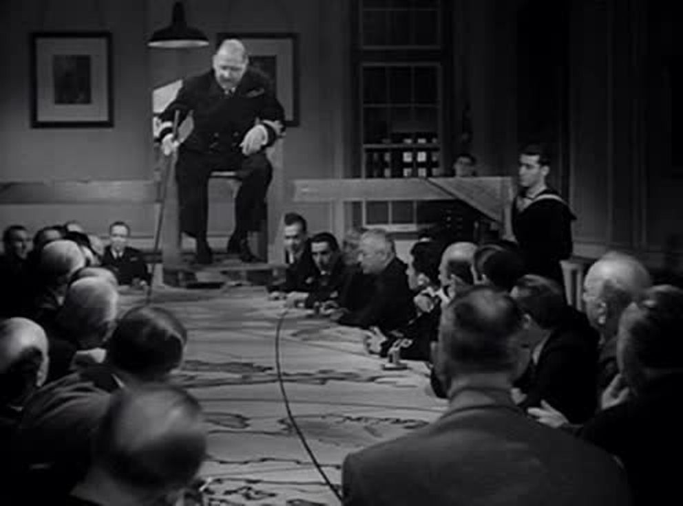
Whether as narrational device or element in the mise-en-scène, maps are so much present in the film that they acquire a strong symbolic force, equal at least to that of the film's cartographic title. Two shots in particular suggest what a cartographically informed symbolism has to compete with. In the U-boat the camera looks first at a photograph of Hitler, placed in front of a volume containing nautical maps, 'nautische karten'. It then pans down to show the lieutenant consulting such a map: 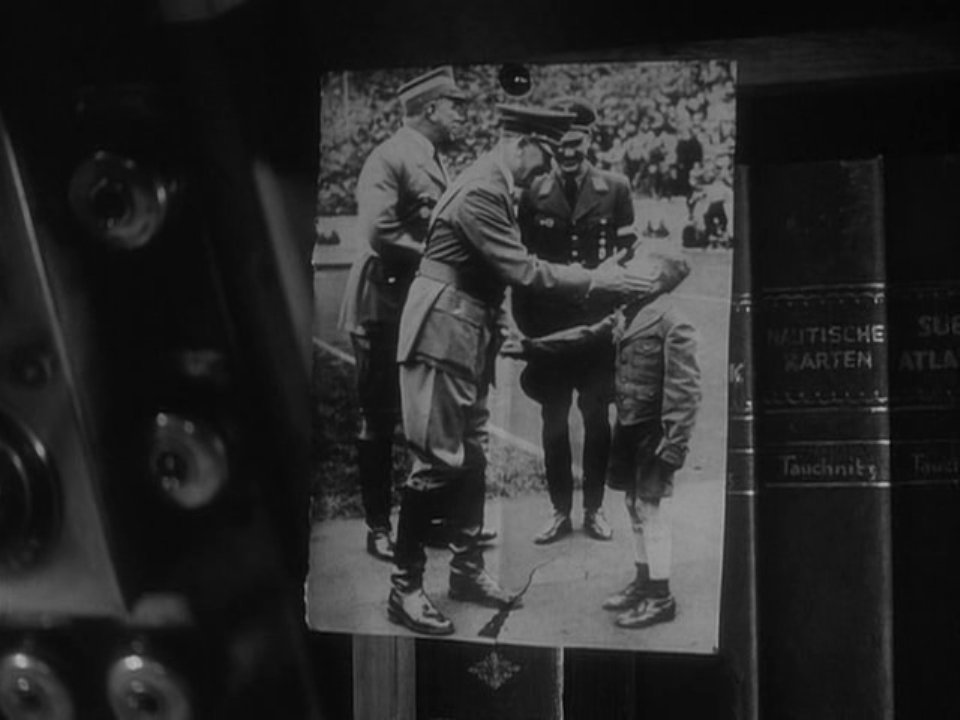 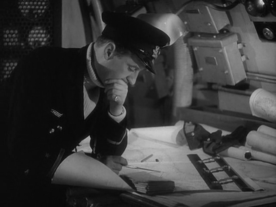 Later, as the lieutenant and a French-Canadian trapper are looking at a German-made map of Hudson Bay, the Nazi argues for the virtues of his ideology and shows him a book: 'This is the Bible. You must get a copy. It will explain everything to you as it has to me': 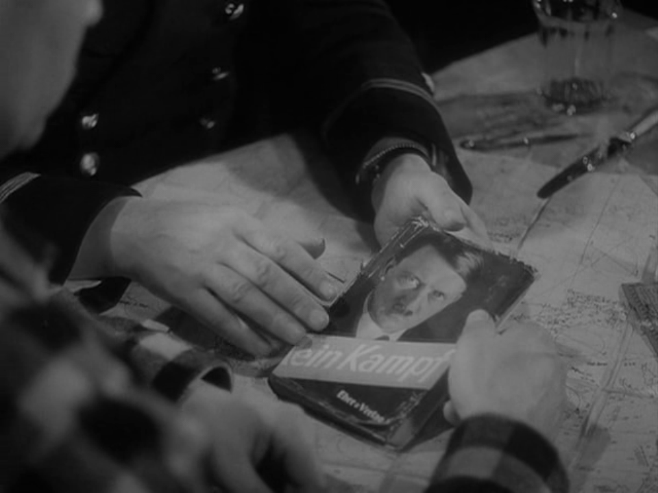 The Canadian's seemingly facile response - 'You better look up how to get out of Canada, then' - is an argument for cartography over ideology, though of course Powell's film is itself as ideological as it is cartographic. The opening discourse says as much, affirming an ideology as it speaks of map-making: 'I see a long straight line athwart a continent. No chain of forts or deep flowing river or mountain range, but a line drawn by men upon a map, nearly a century ago, accepted with a handshake and kept ever since. A boundary which divides two nations yet marks their friendly meeting ground. The 49th parallel: the only undefended frontier in the world.' (My thanks to Jason Woloski in Winnipeg for making me think of rewatching this film.)
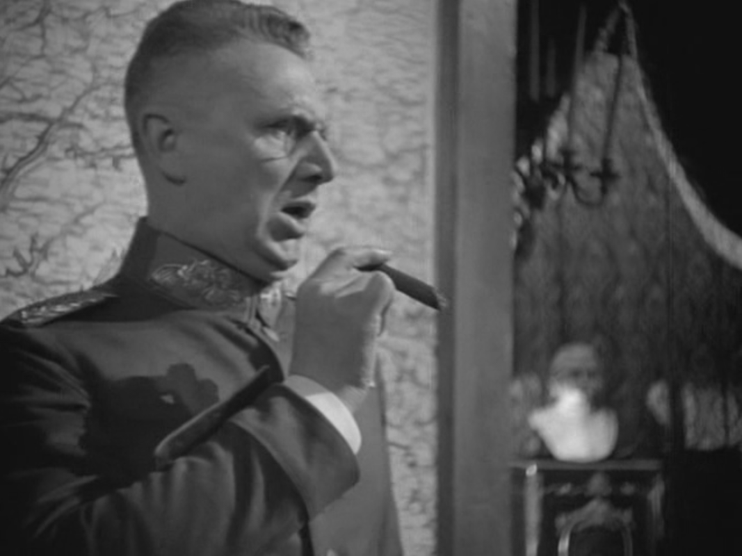
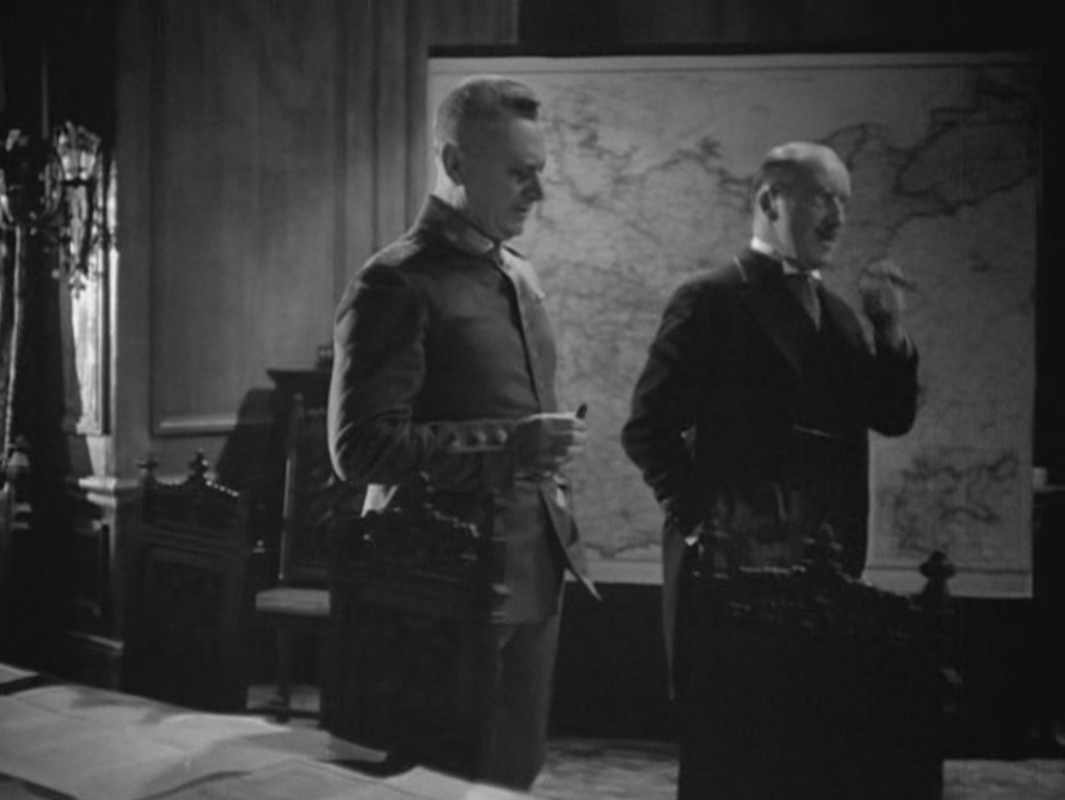
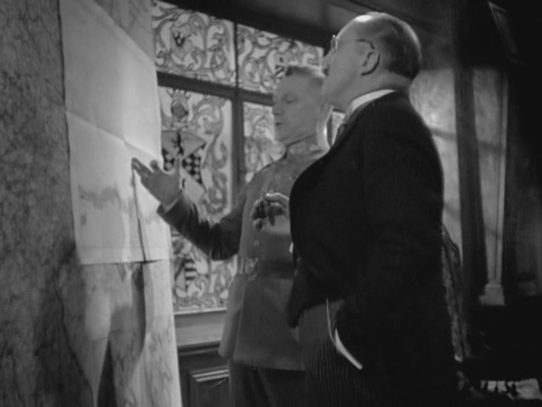
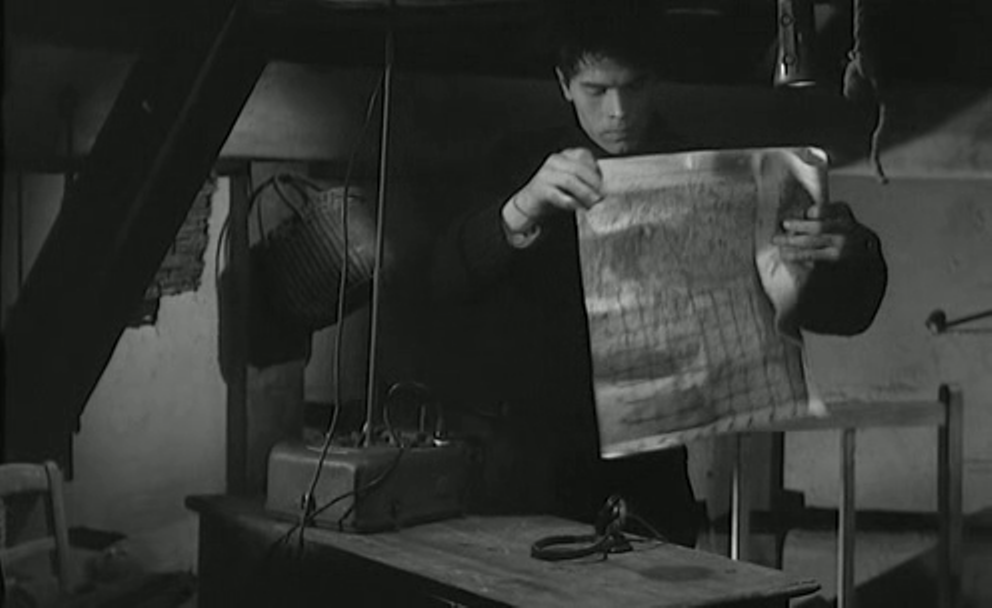
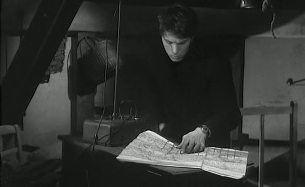
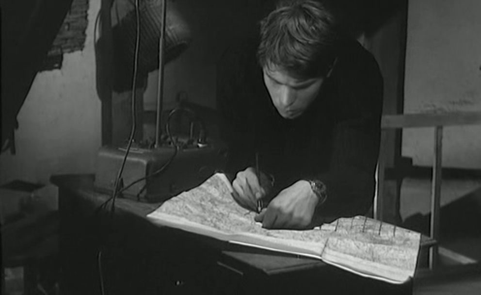
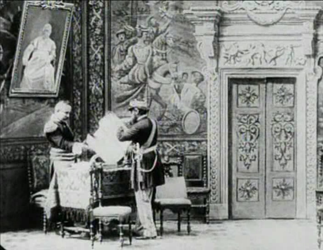 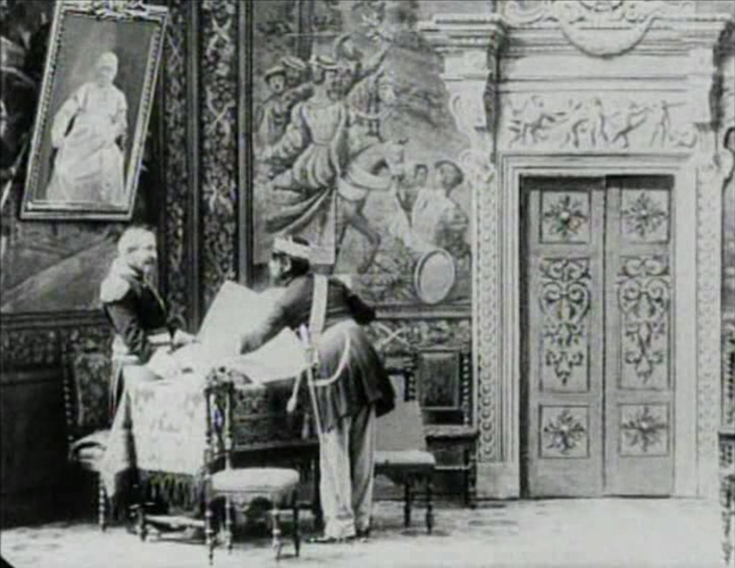 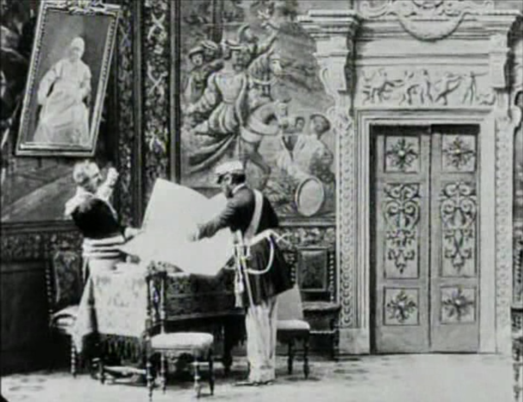 La Presa di Roma is supposed by some to be Italy's first dramatic film. More certainly it is Italy's first film with a map, and is the earliest film I have found from any country where a map is opened up, pointed at, discussed and then folded away.
We can't make out the map itself, but I suppose General Carchidio has brought a map of Rome on which to point out to General Kanzler the Papal Army's defensive weaknesses, as he urges him to surrender. (See here for a discussion of other early maps in films.) |