

|
0 Comments
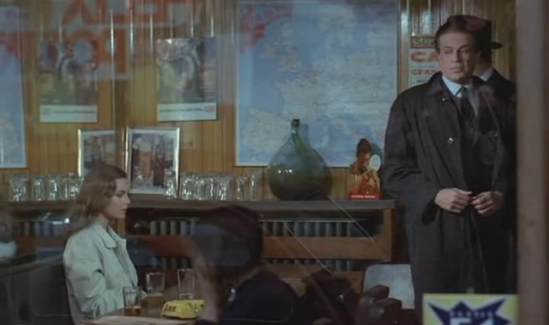
493/ C'est pas parce qu'on a rien à dire qu'il faut fermer sa gueule... (Jacques Besnard 1975)25/12/2013 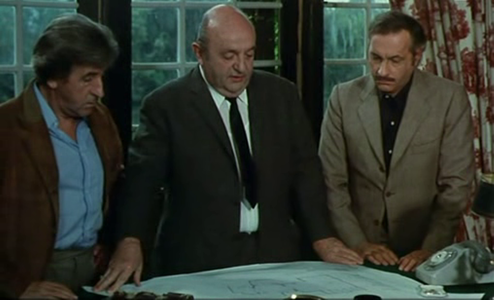

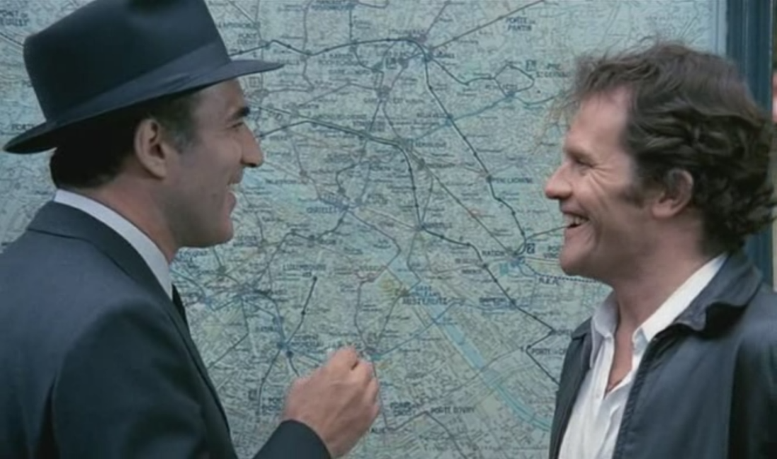
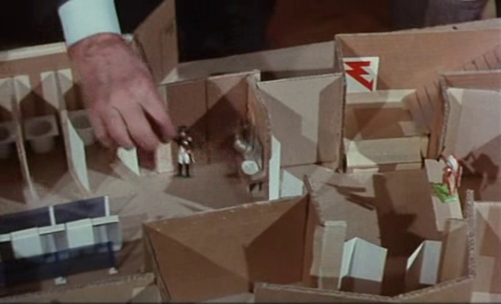
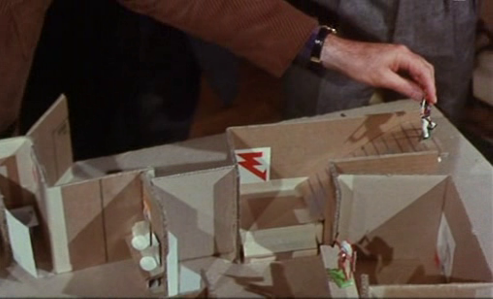
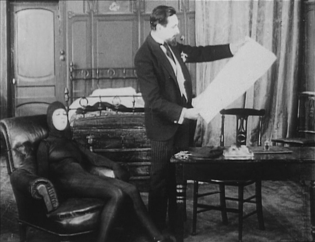
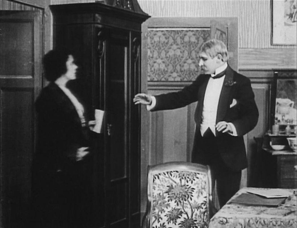
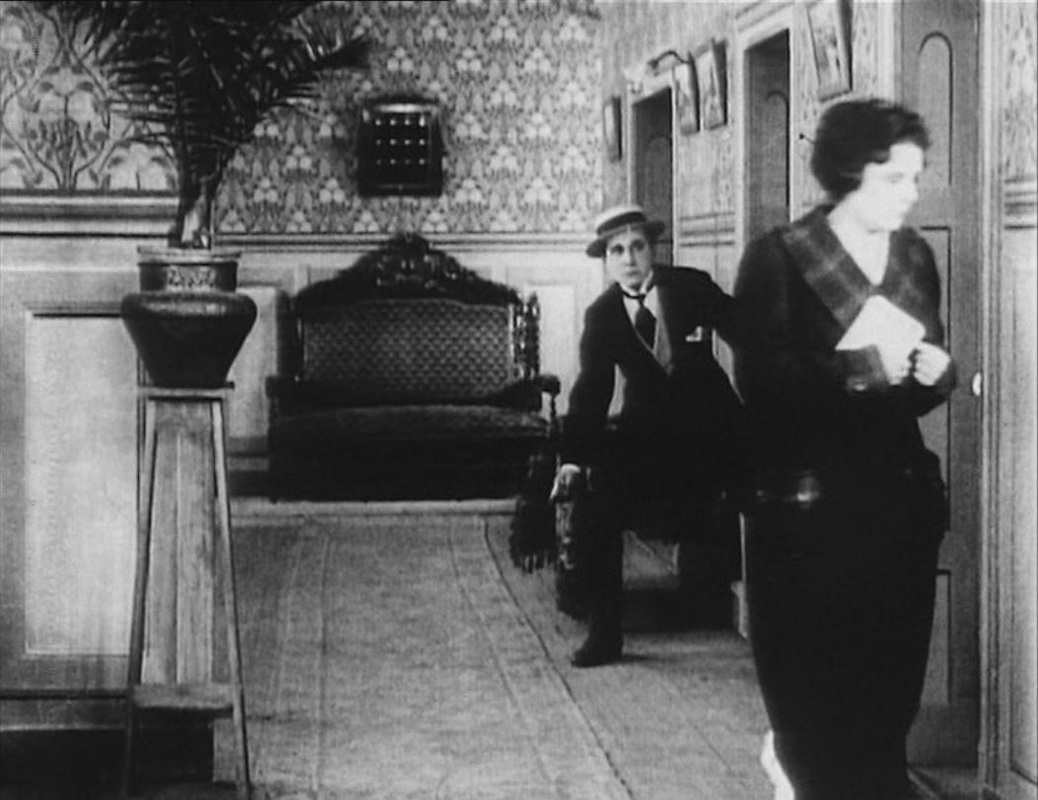
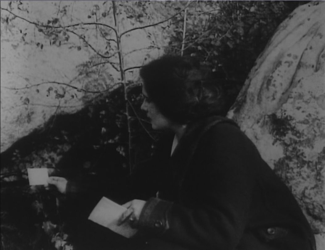
 One of the scenes from Feuillade's Les Vampires (1916) being reconstructed in Assayas's Irma Vep (1996) involves a map, which too is reconstructed. 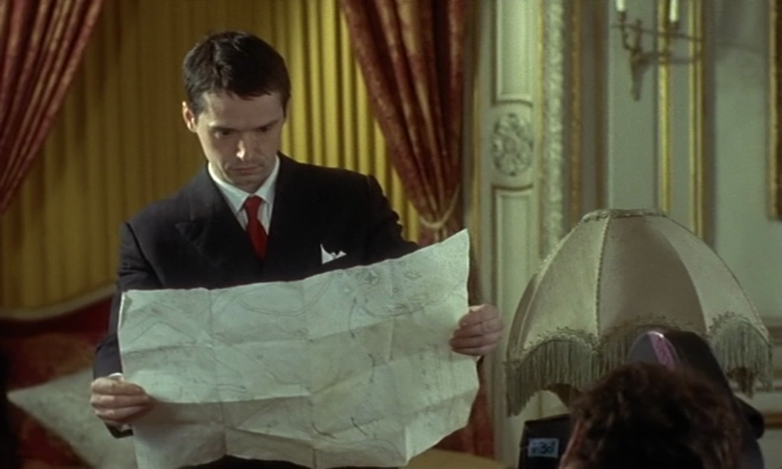 All we see of it is in this shot, above, but we can see that the map has been carefully drawn on the basis of the view we have of it in Les Vampires. There are shots like the above of different people reading a map, but in each of these the picture is not clear enough to make out any detail:
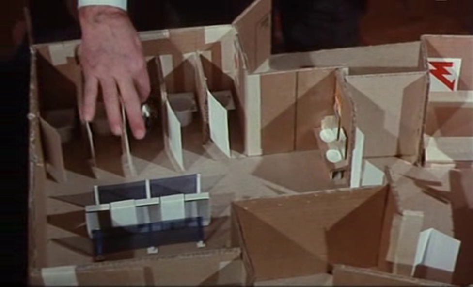
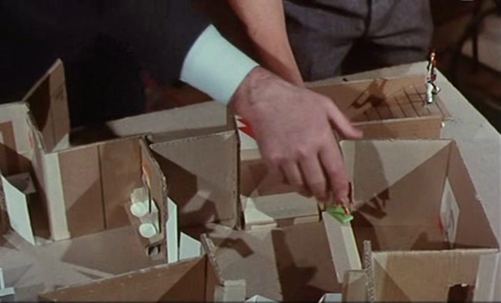
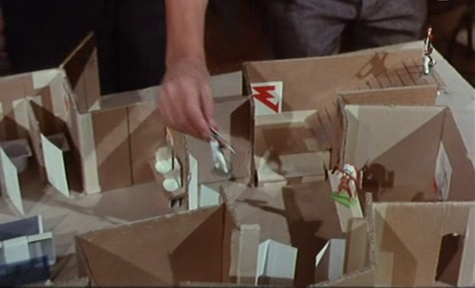
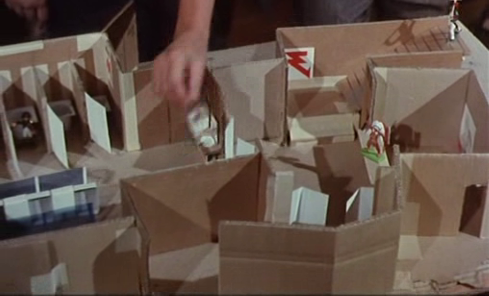
Helpfully, close-ups are inserted, allowing us to see clearly what the map looks like:  This is the model from which the map in Irma Vep is drawn. Since in that film we only see the map from behind, I have reversed the shot so that we can guage how closely it matches the original: 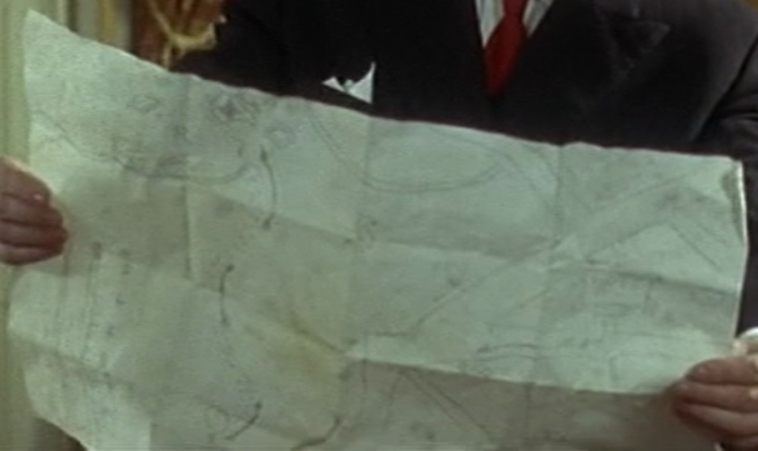 This a good reconstruction of the Vampires map: the layout of roads is the same and the arrows are in the right place, as is the indicator of scale. The only inaccuracy is that in Les Vampires this is not the big, unfolded map of the region that everyone looks at first, and which the shot above mimics, but a small map drawn on the back of it, in the corner, which only gets noticed when the big map is being folded up. In Irma Vep that small map has been moved to the front and blown up to become the whole and only map. This is emblematic of the process of referencing Feuillade's film more generally in Irma Vep, which has singled out only one of the Vampires as its object of interest. Of course, Irma Vep is the most spectacular and memorable feature of Les Vampires, and we understand entirely why she is the focus of Assayas's film. The map is its focus for all of seven seconds, and perhaps doesn't warrant the same intense scrutiny as either Musidora in Les Vampires or Maggie Cheung in Irma Vep:   See here for a closer reading of the map in Les Vampires.
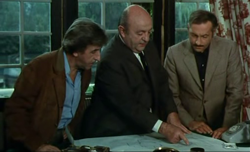
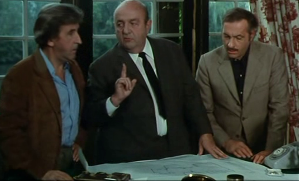
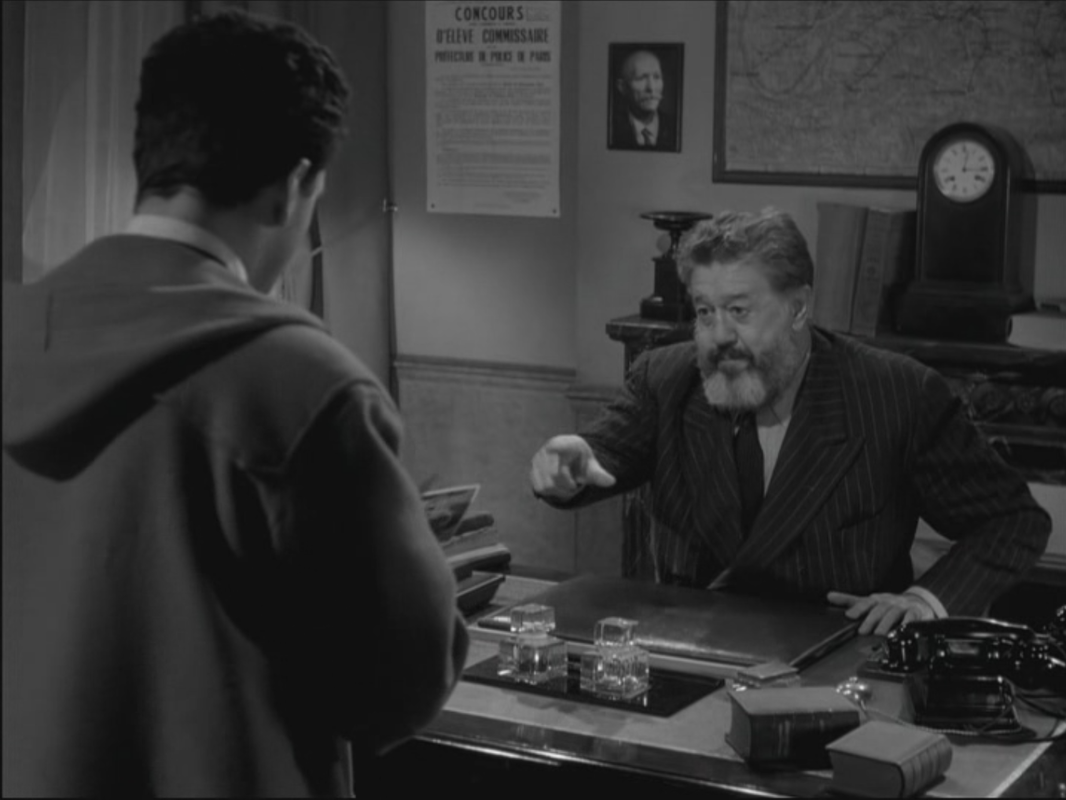
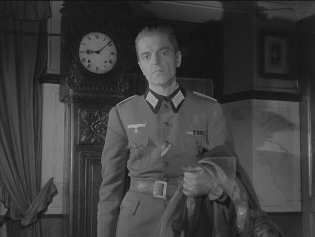
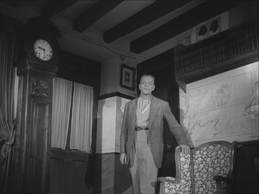
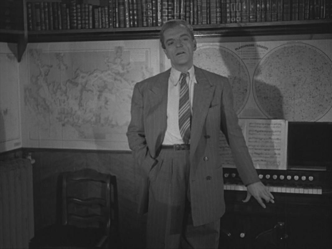
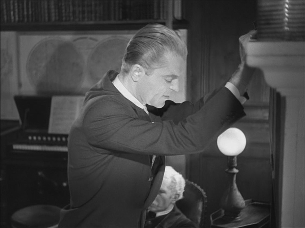
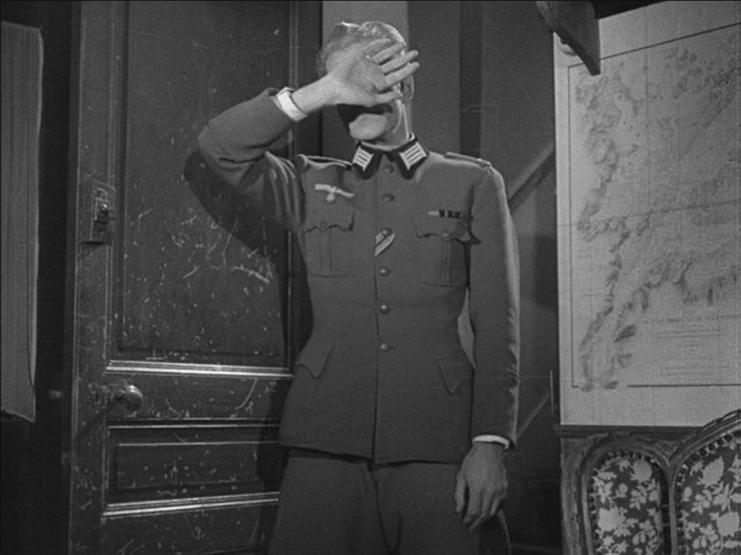
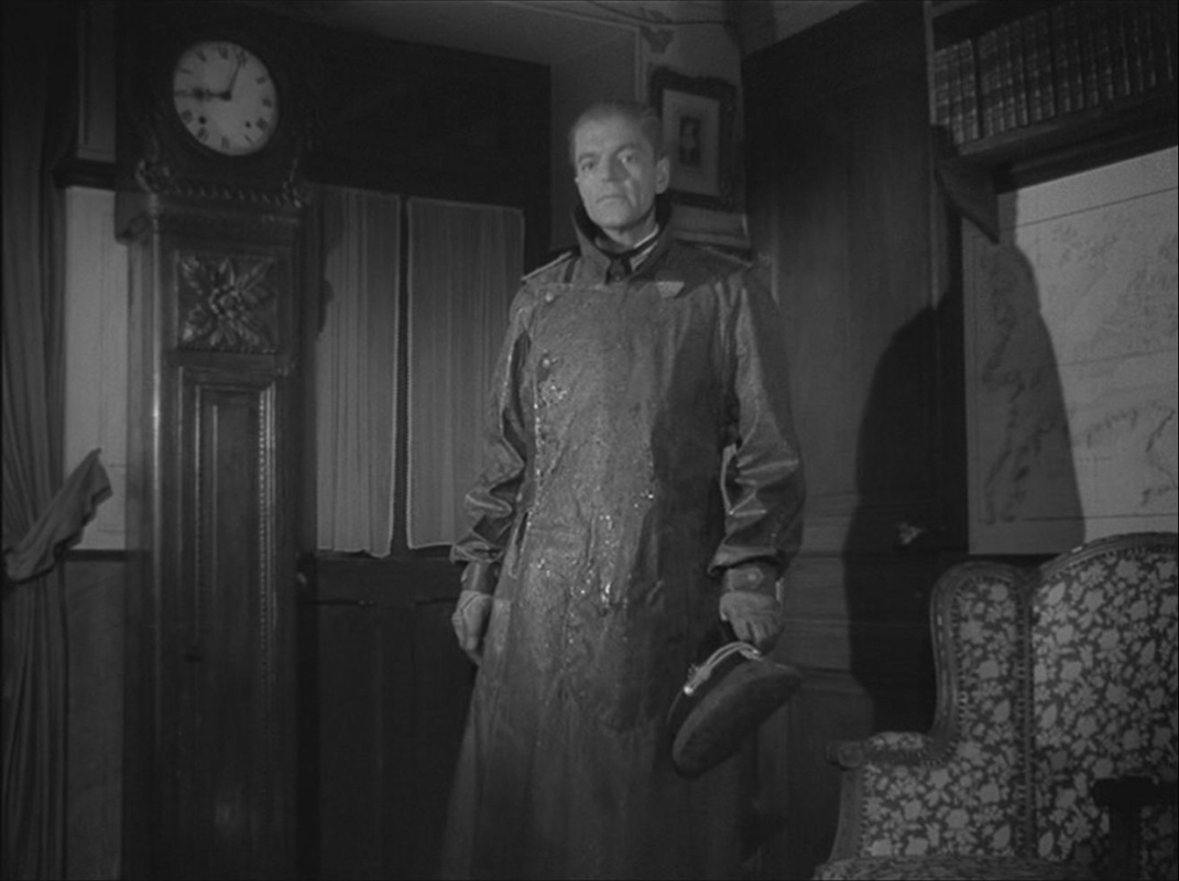
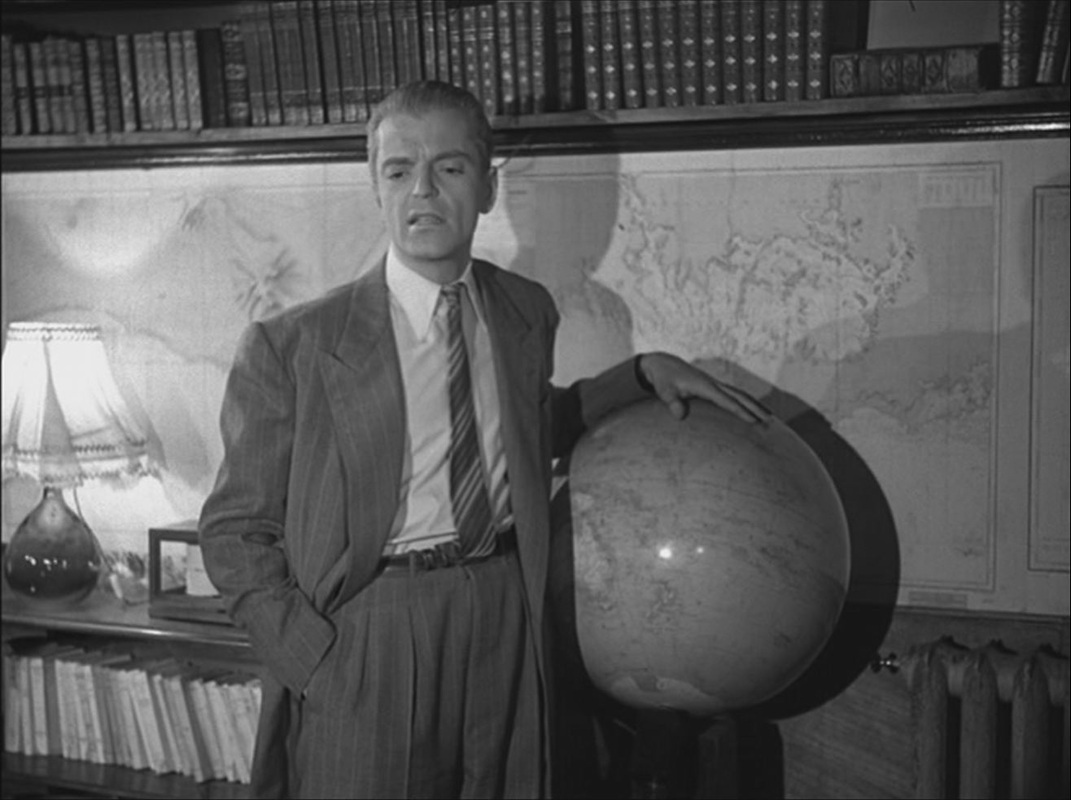
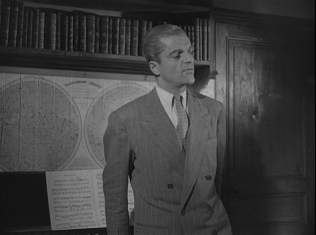
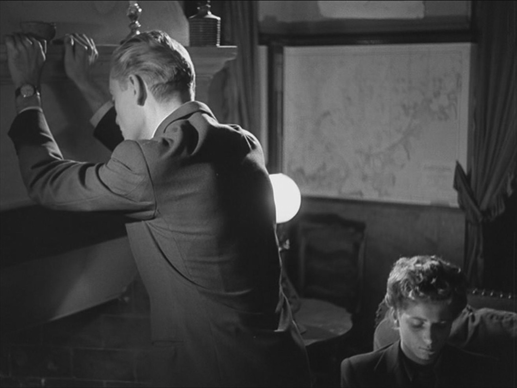
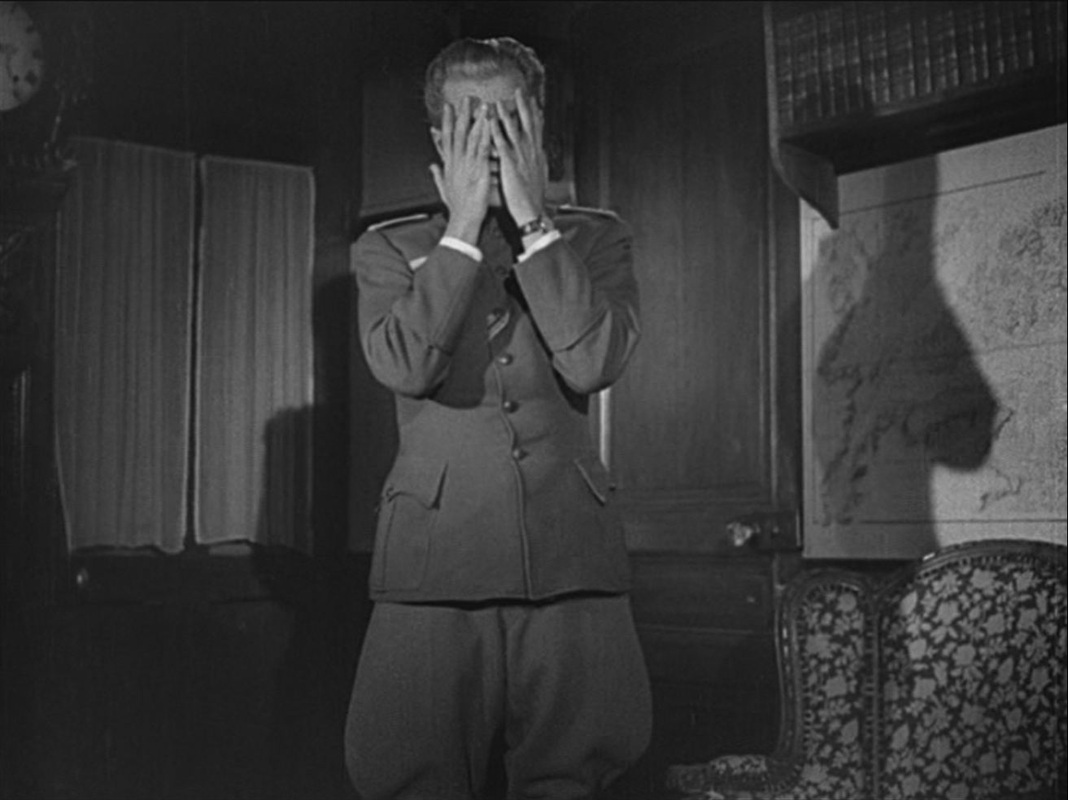
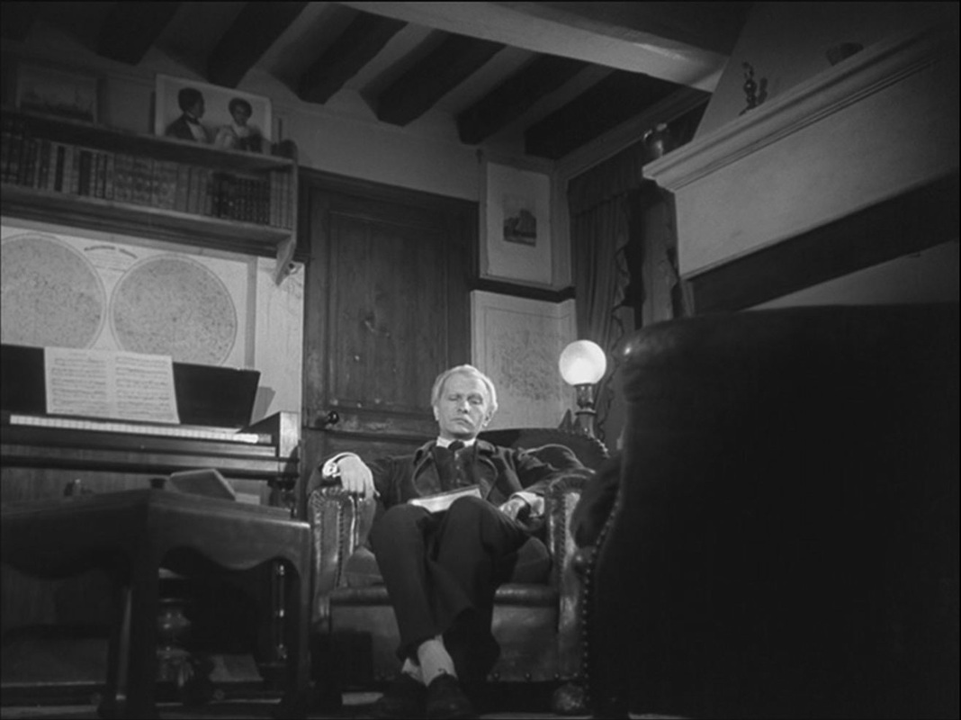
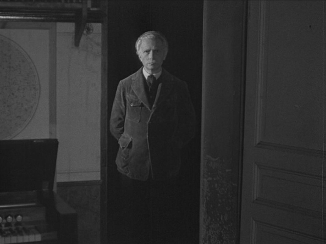
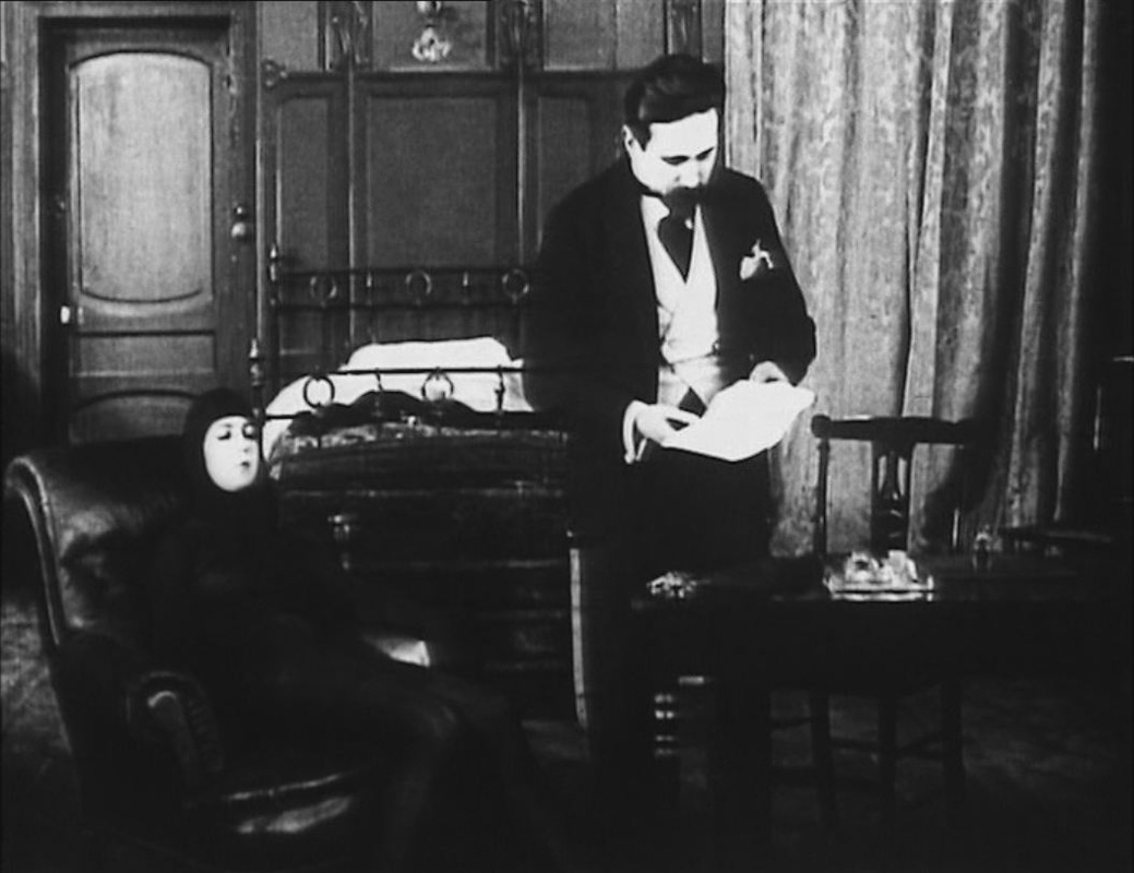
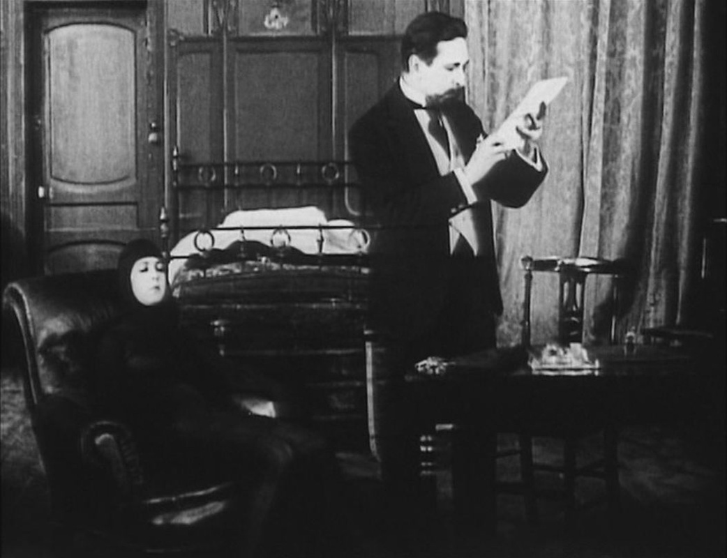
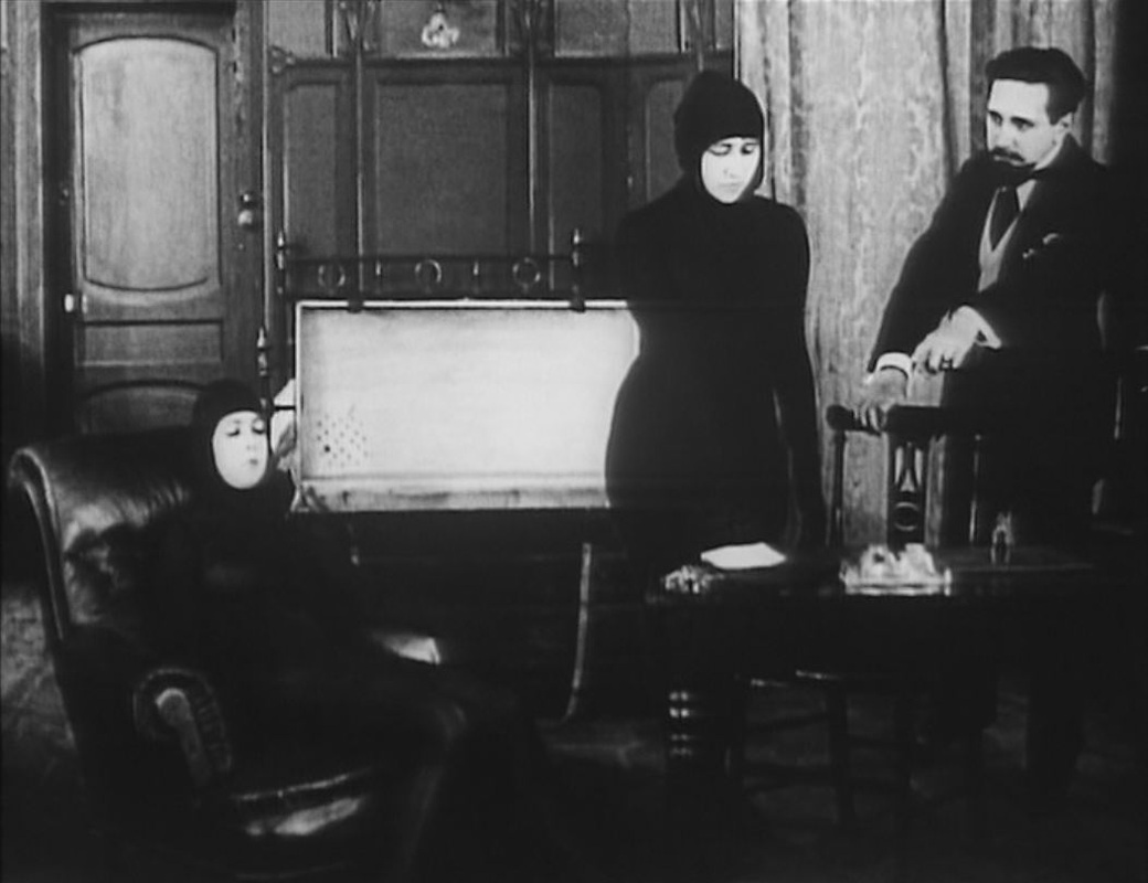
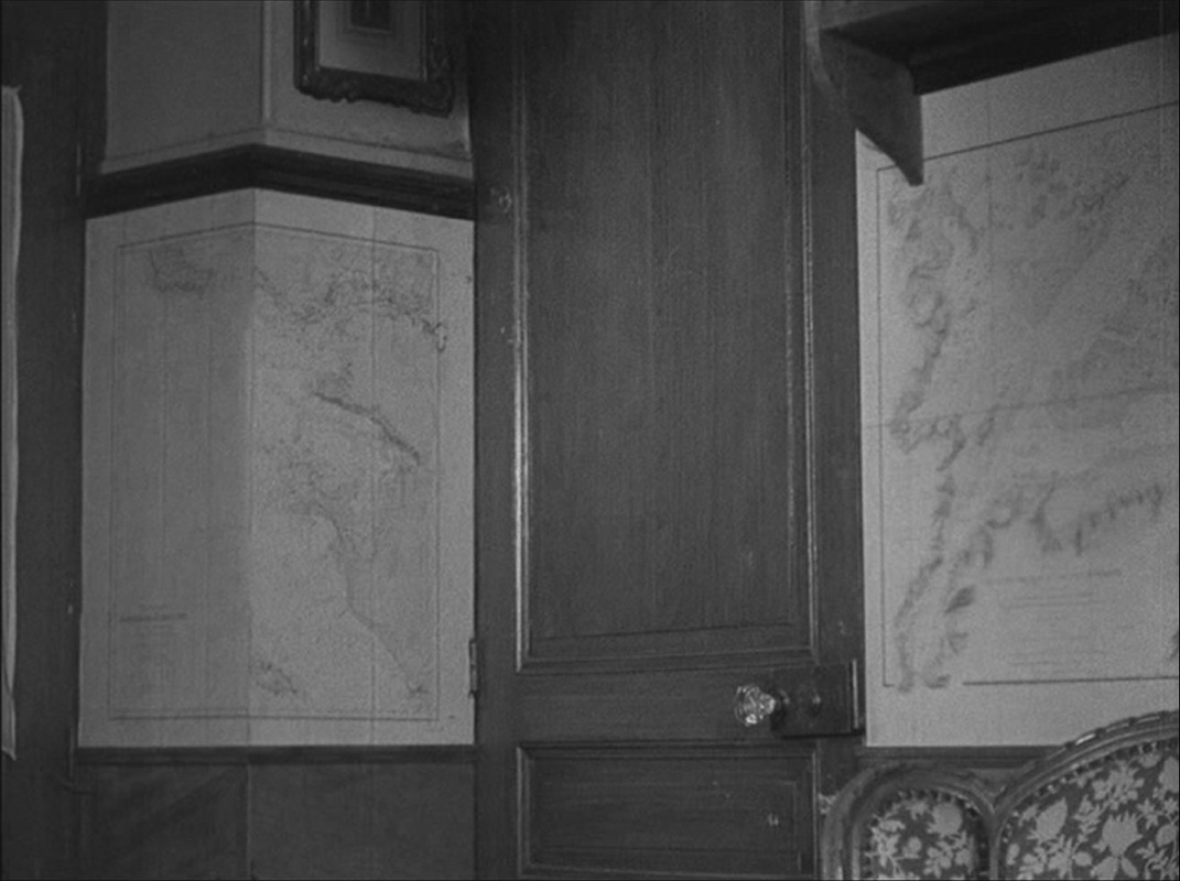 Most of the drama is played out in a single, map-lined room. The film was shot in the home of the author of the book from which it is adapted, and I assume these maps are his. They are used in the film as significant décor, often as a backdrop to the dramatic attitudes assumed by the German officer billeted in this French home:
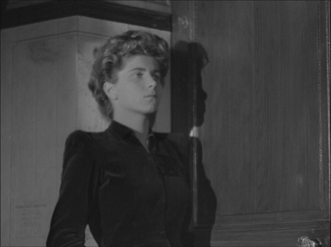
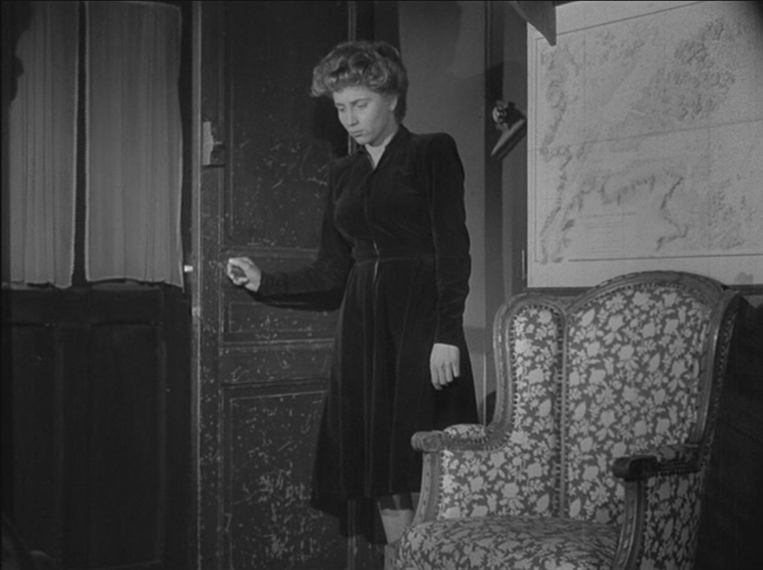
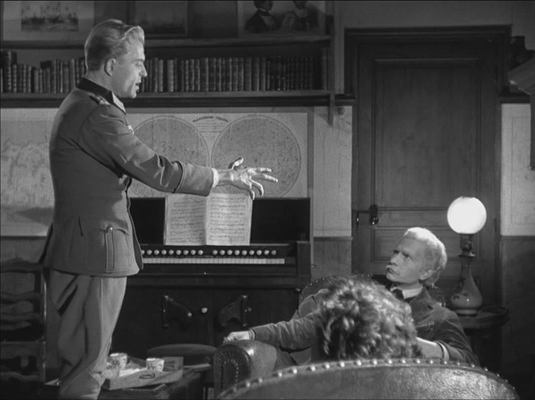 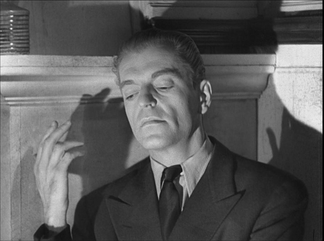 The maps also set off poses adopted by the old man and young woman who live in the house: 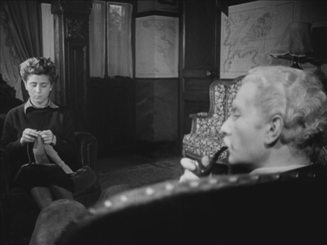
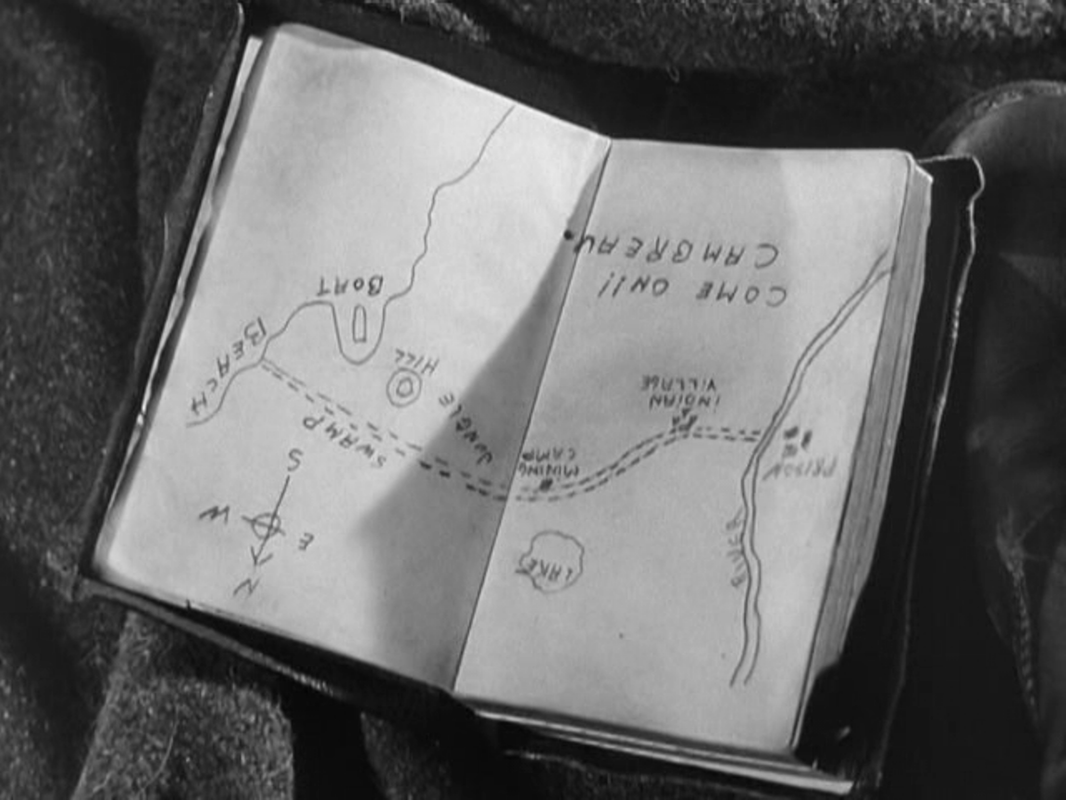
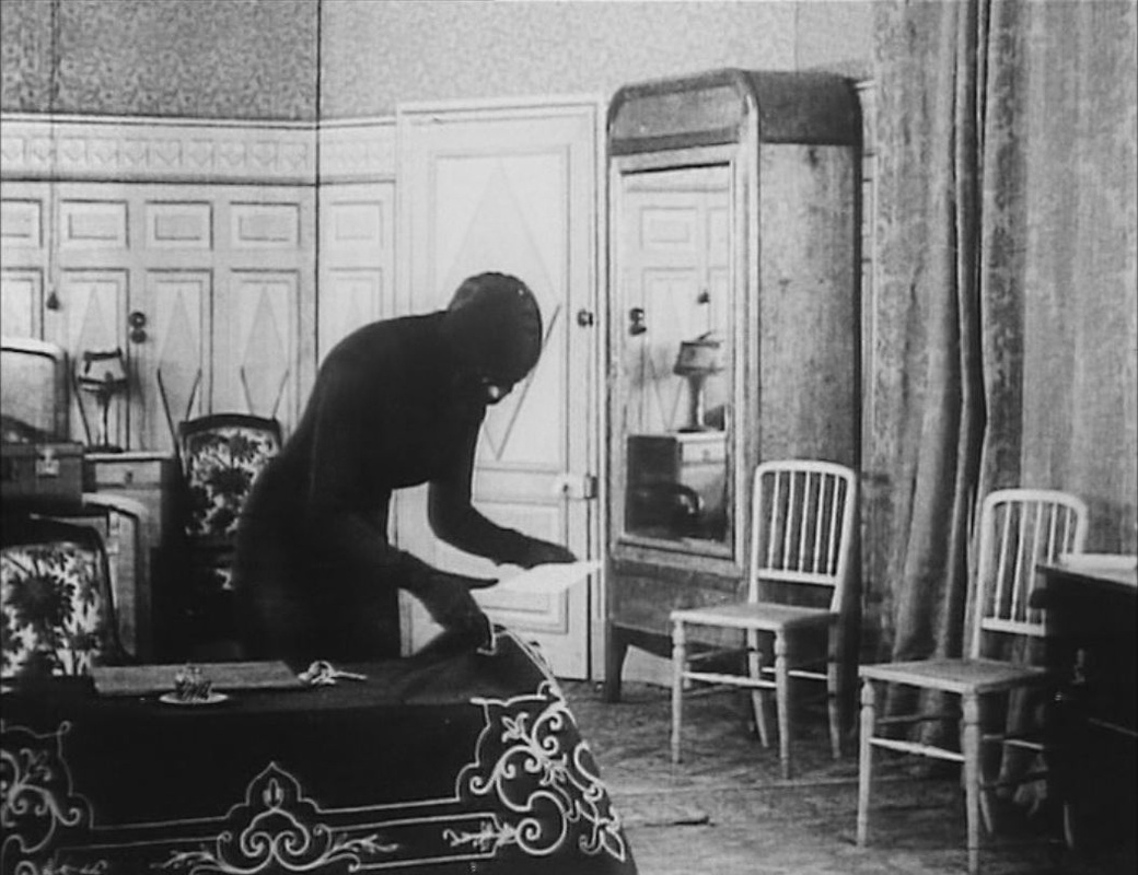
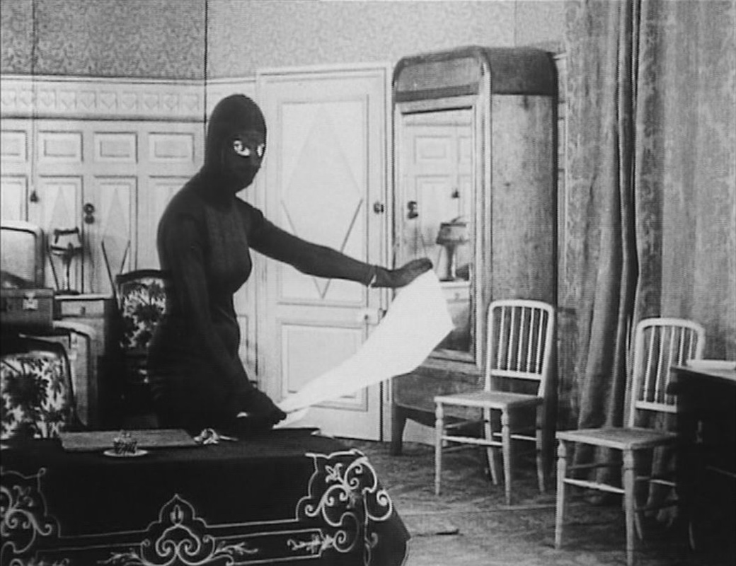
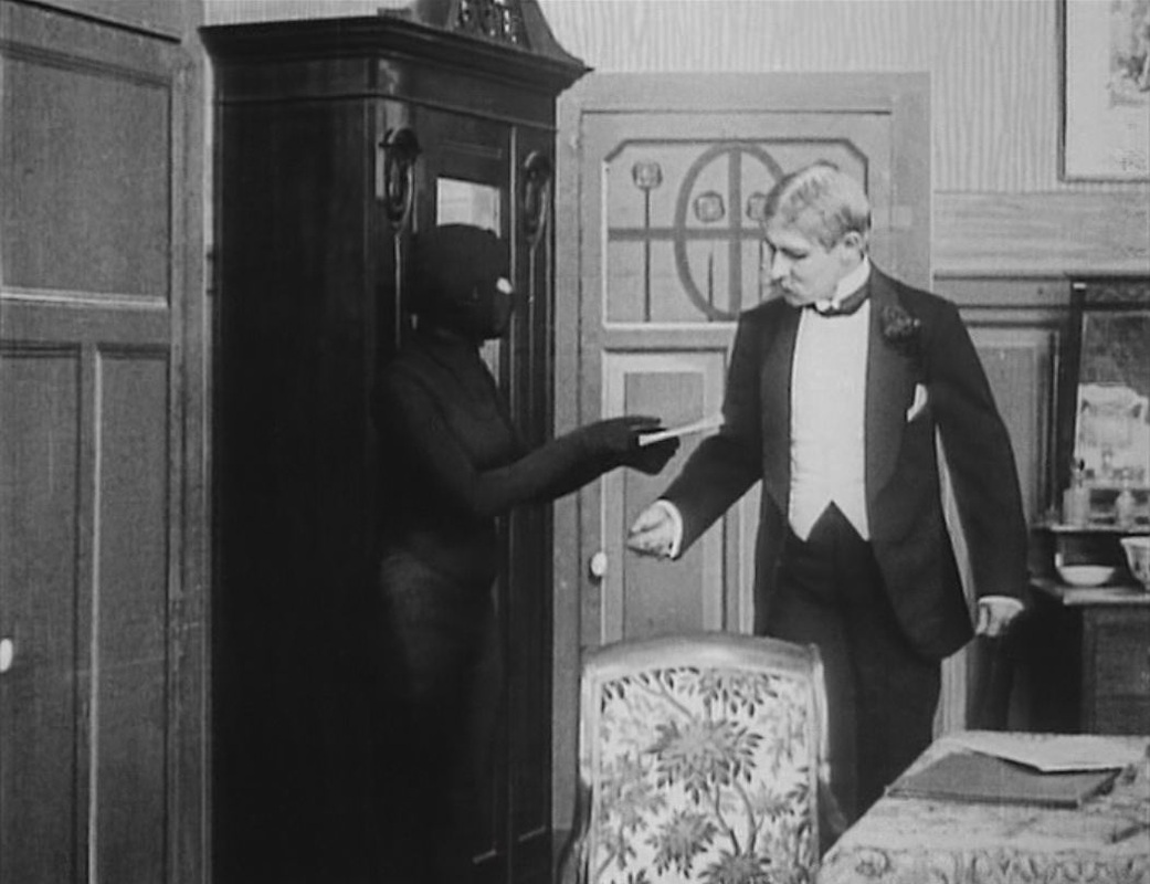
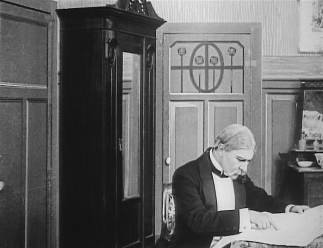
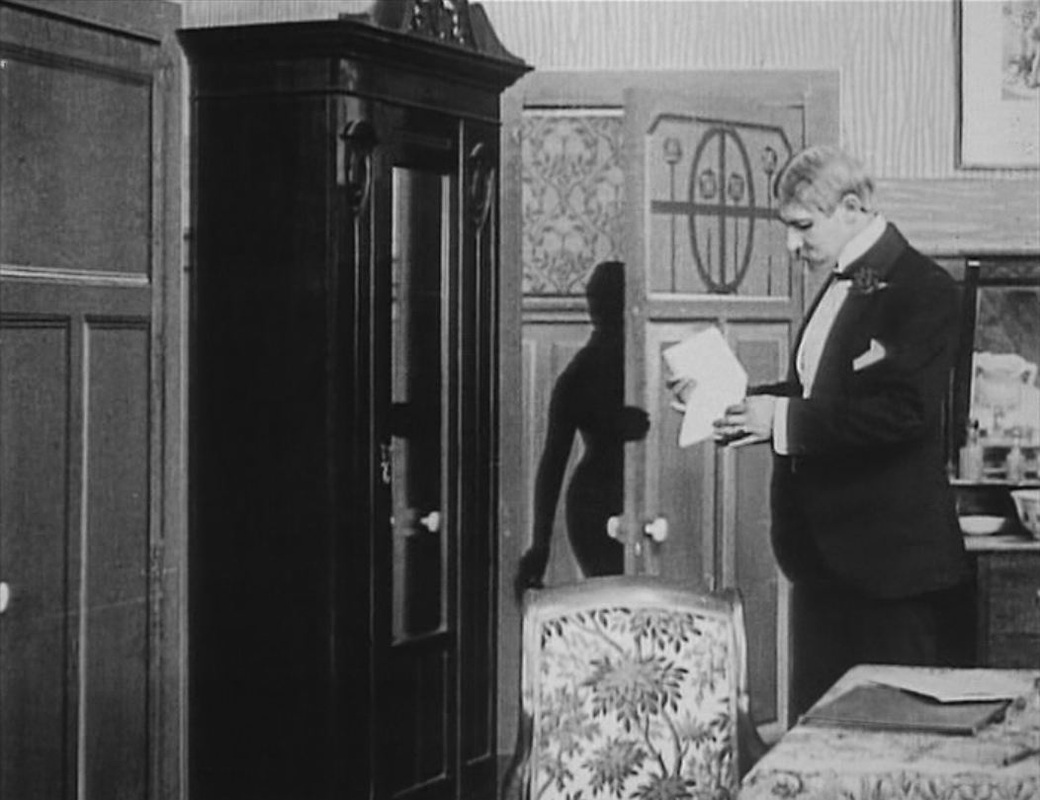
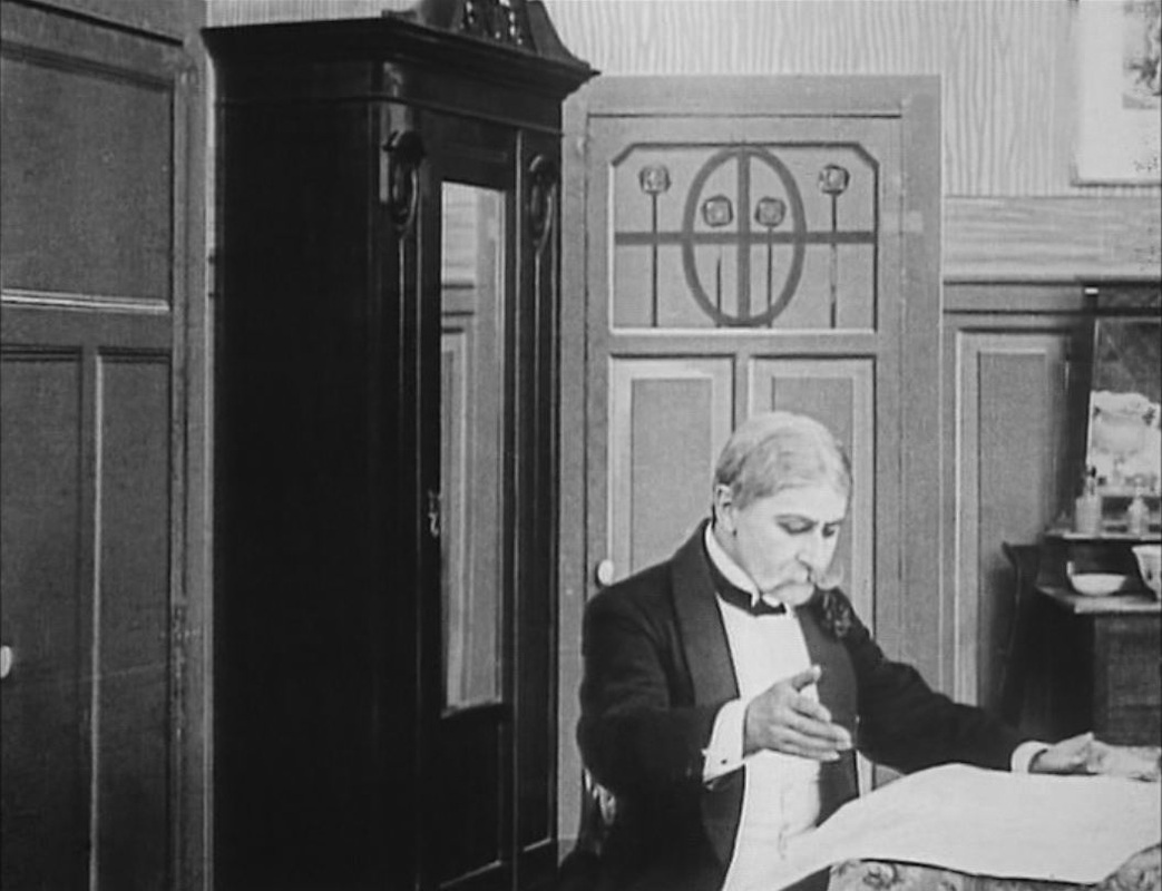
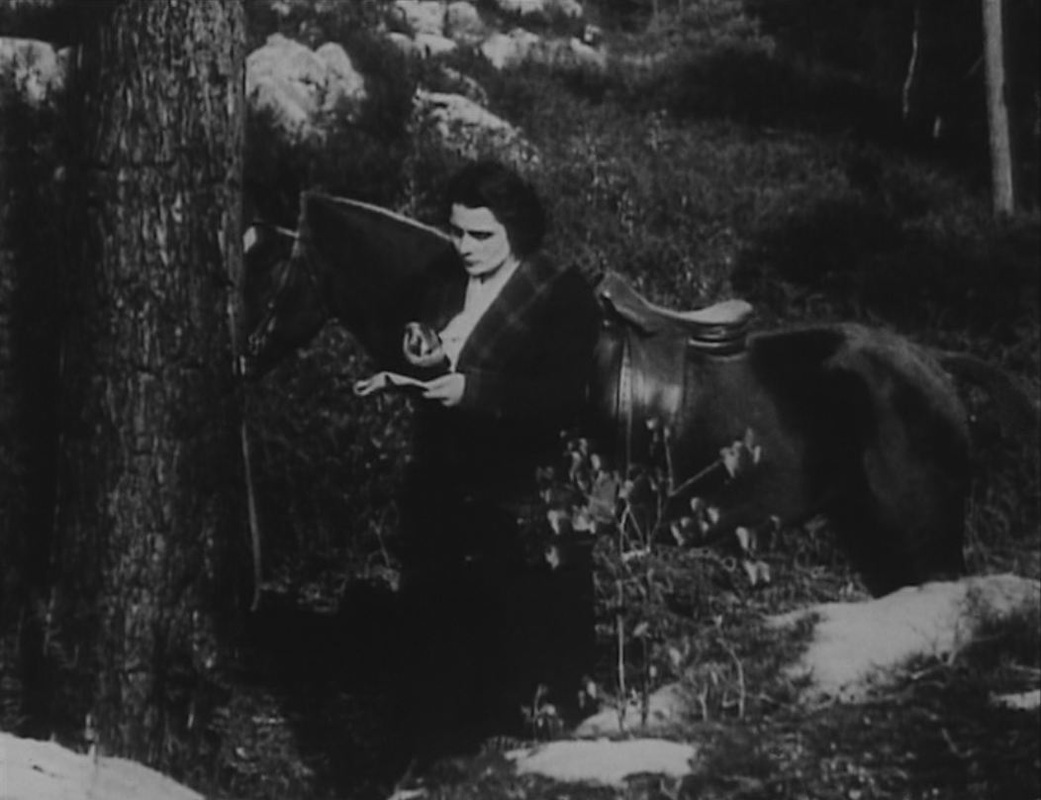
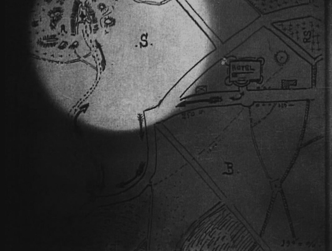
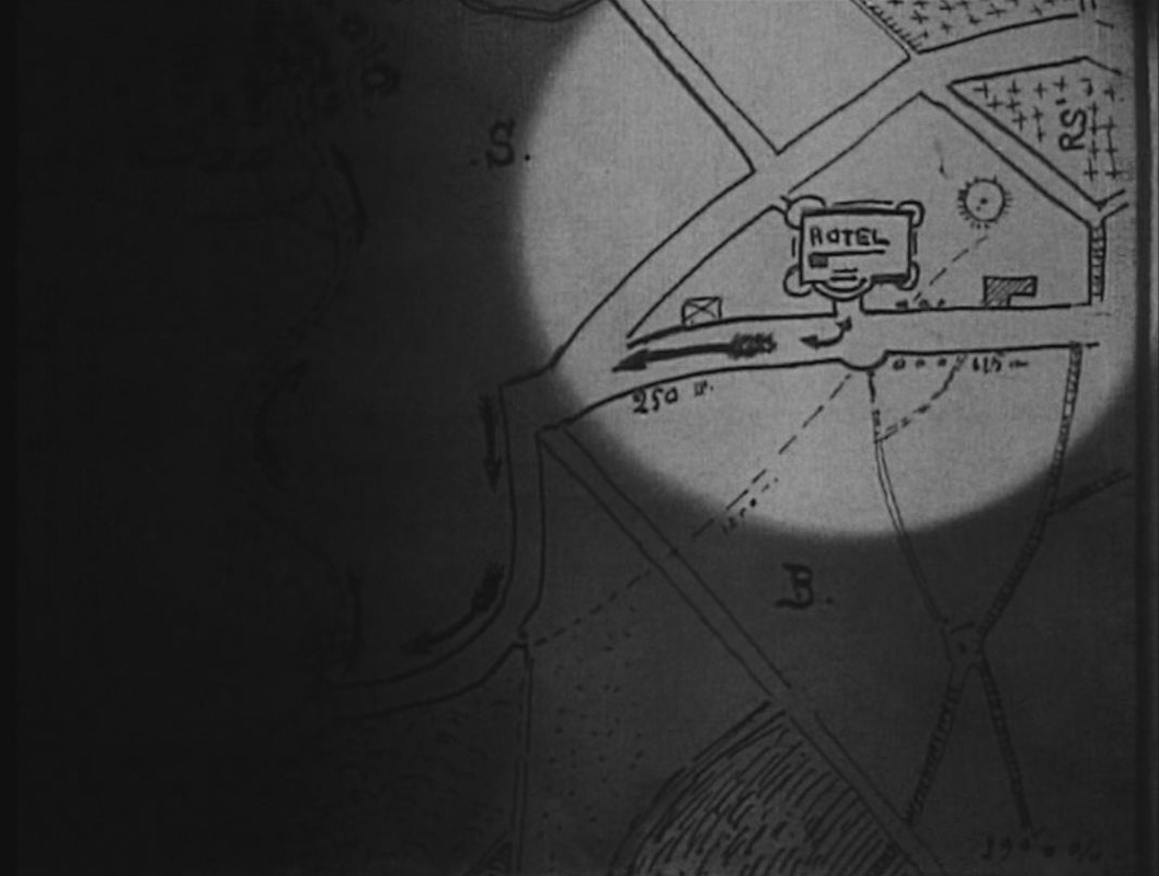
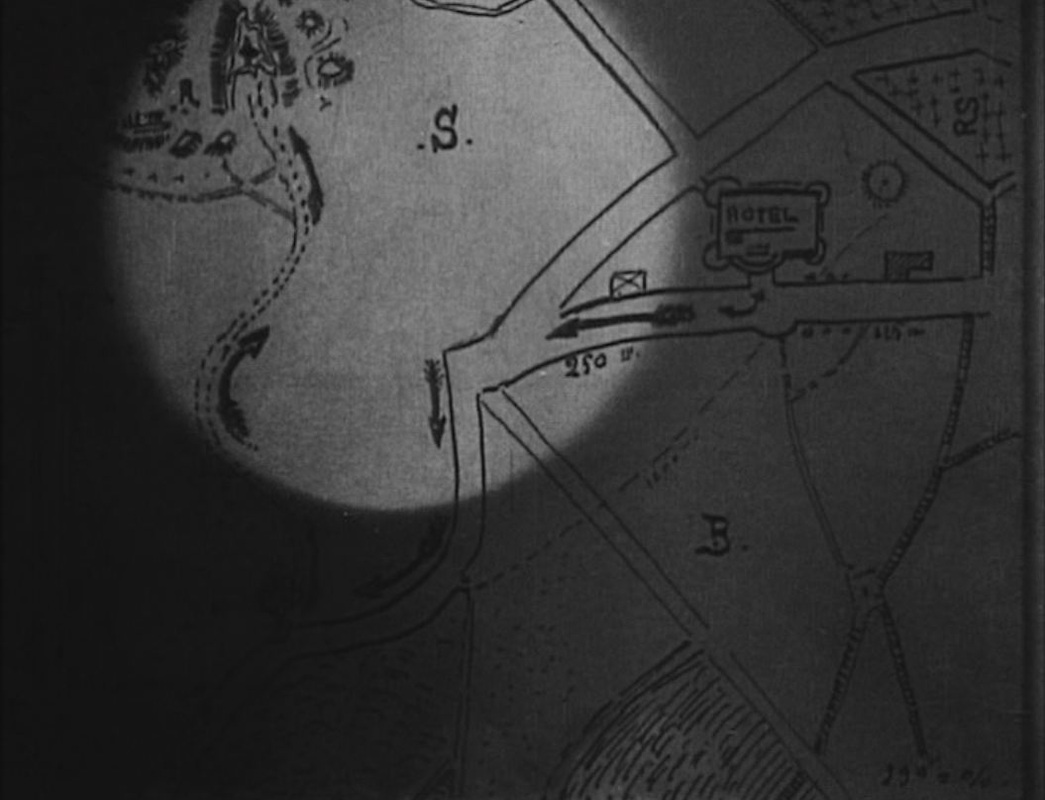
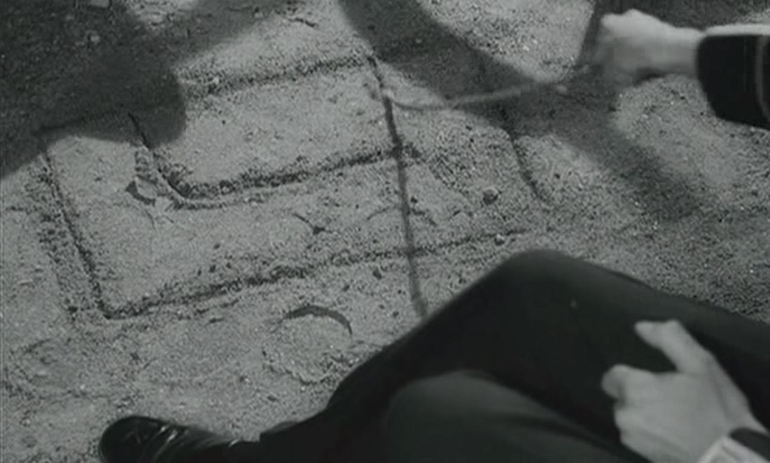
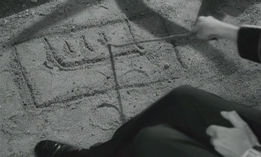
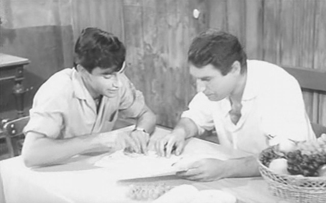
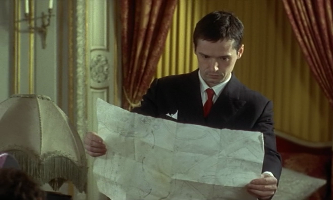
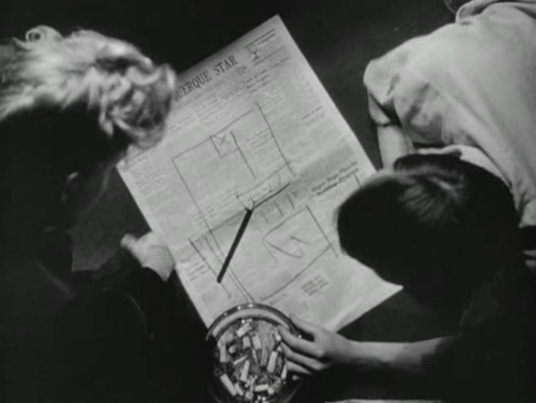
To my shame I can identify none of the places represented on these maps, except for those on the globe and the planisphere of the heavens. A few other maps feature in the film, such as this curious (hand-drawn?) map of the Red Sea area: 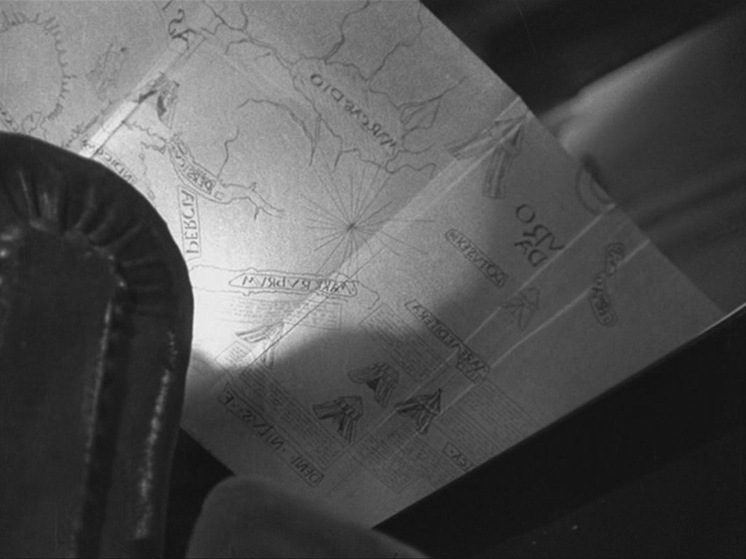 The map is in reverse because it is filmed from below and behind, as the old man folds it back into the book he is reading. In the kitchen of the house we see a part of a map if Paris on the wall, and in his room the German officer examines a book about Paris with a map of the Ile de la Cité on the cover: 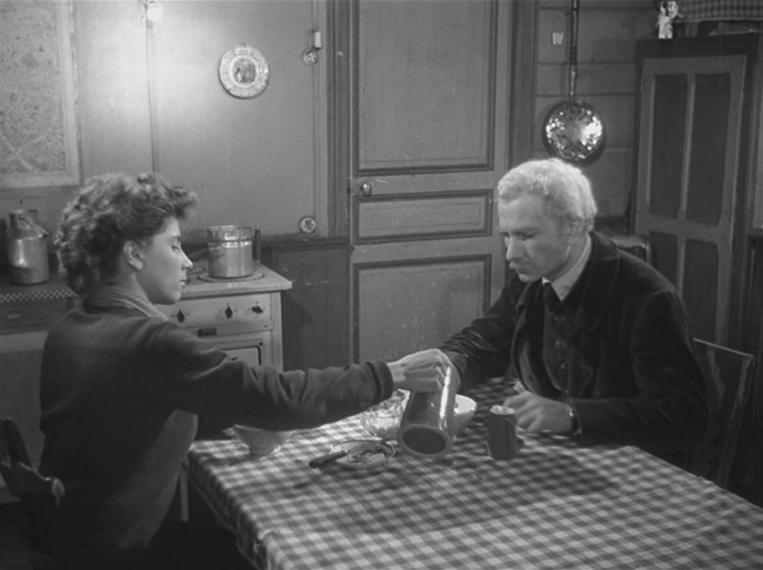 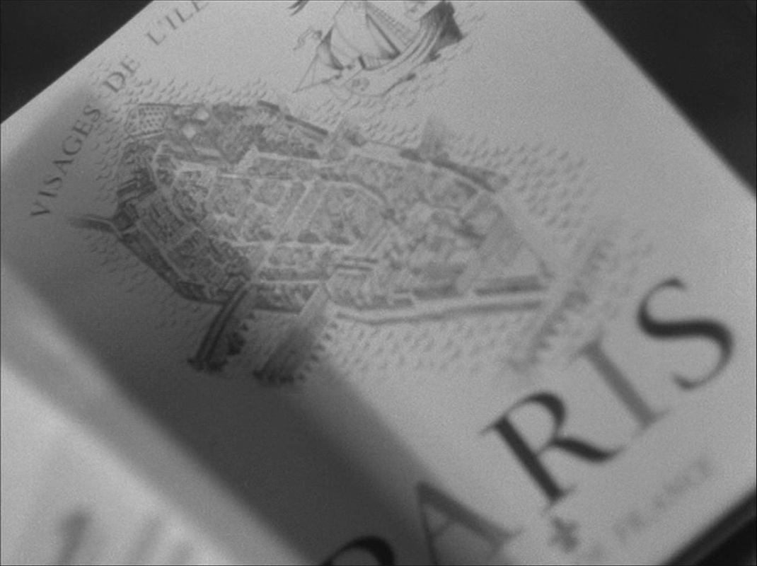 There is also a map of Europe on the banner of the Petit Parisien newspaper that he has in his room: 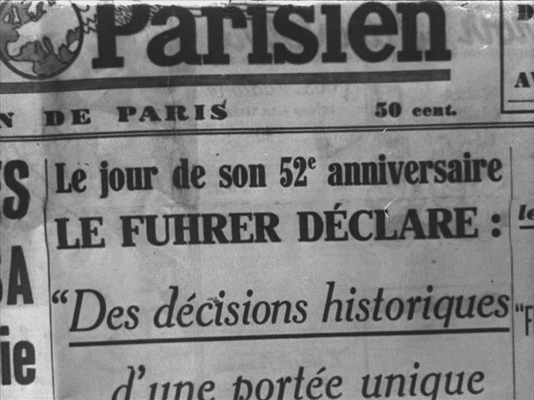 The only other maps are at the mairie of Villiers-sur-Morin, where the German officer works. One probably represents the area of jurisdiction, the other shows the outline of the British Isles on a propaganda poster: 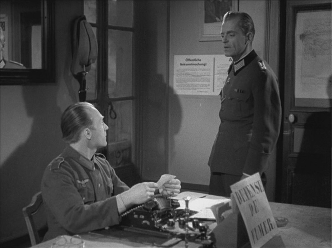 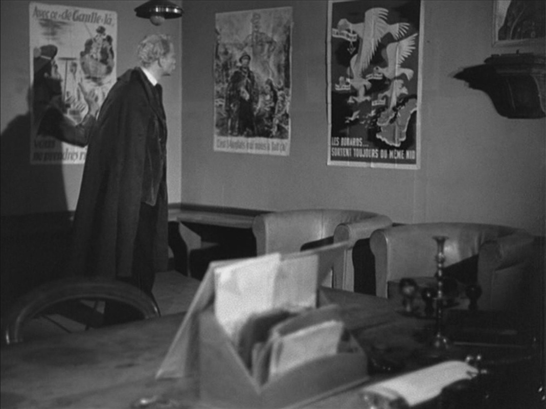 Each of these, curiously, is reframed and reversed by being seen in a mirror: 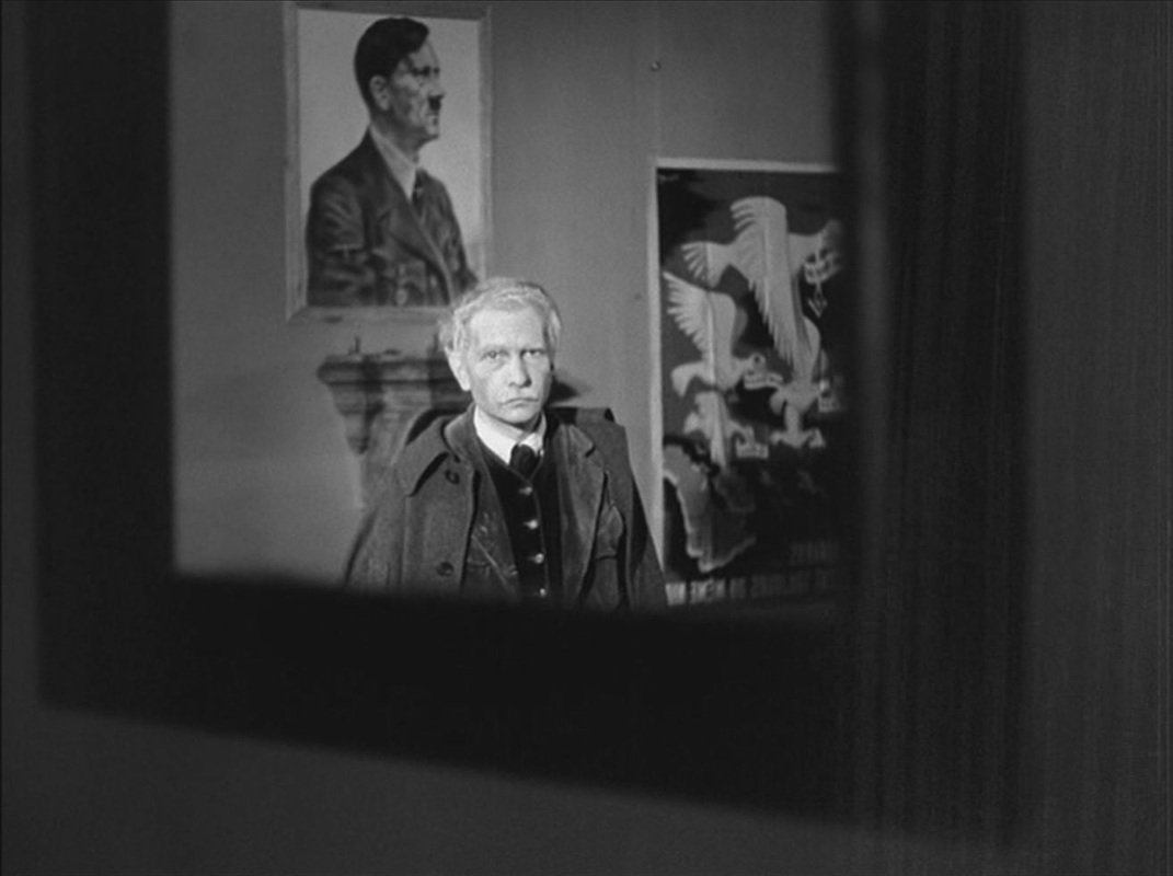 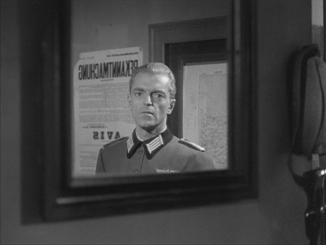 Postscript: A still of this last image is used in Jean-Louis Roy's 1967 film L'Inconnu de Shandigor, where it evokes the Nazi past of a character played by Howard Vernon: 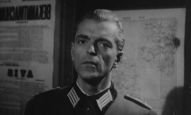 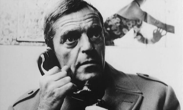 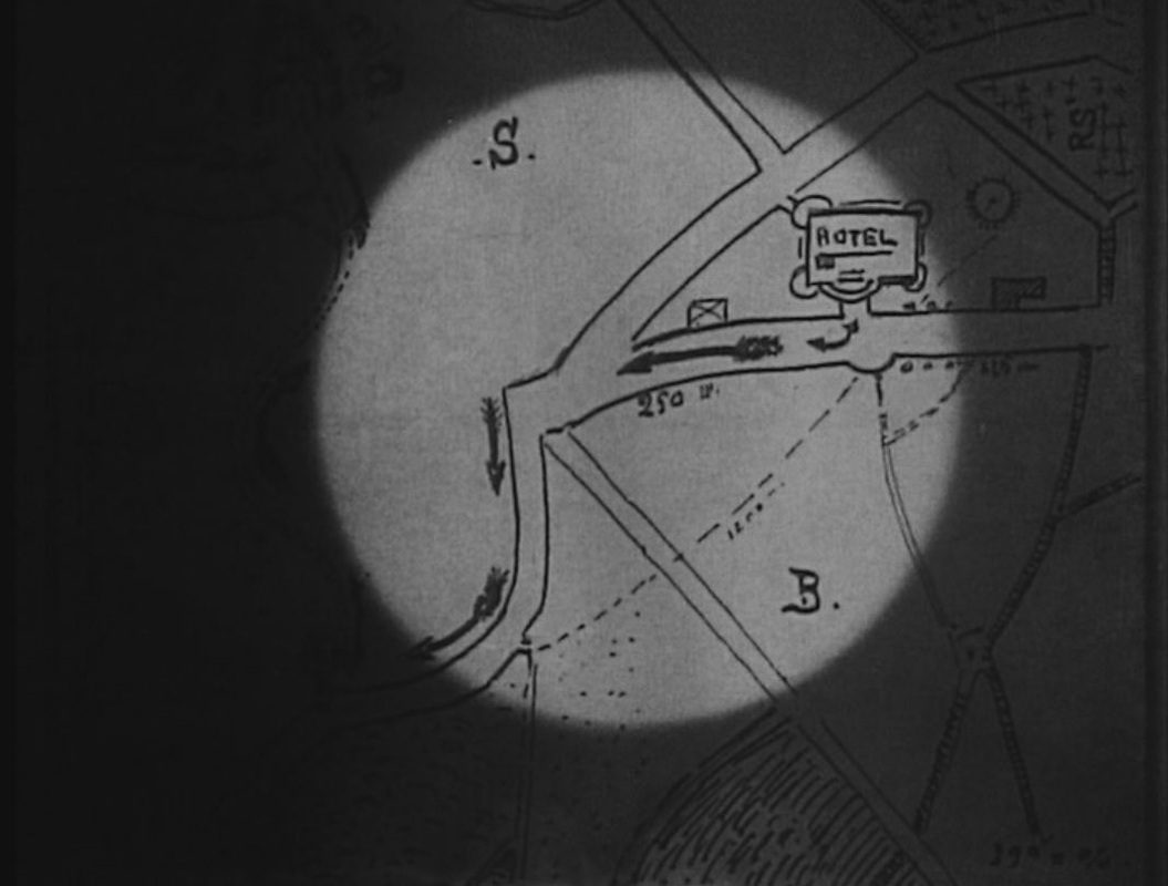 We see only two maps in Les Vampires. The first is at the centre of complicated dramatic business in episode six, 'Les Yeux qui fascinent'. Four different characters scrutinise it in succession, and each time we are shown the map in close up. At the 'Hôtel du Grand Veneur in Fontainebleau', Irma Vep searches the room of two American thieves and finds a printed map of the region:
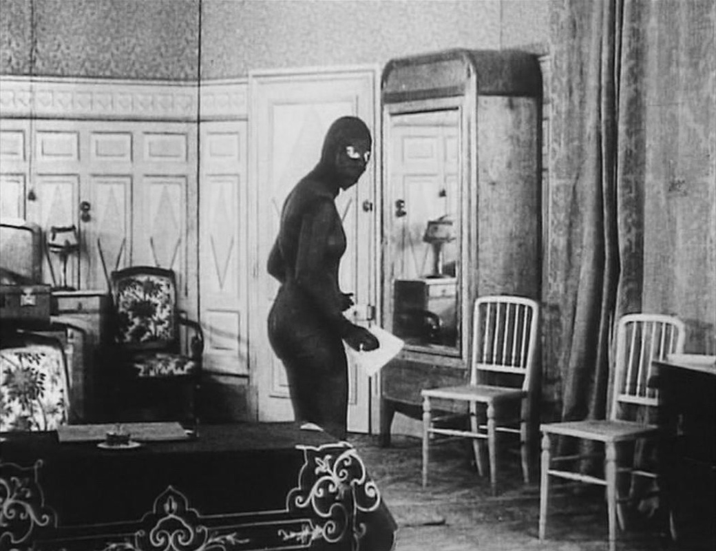
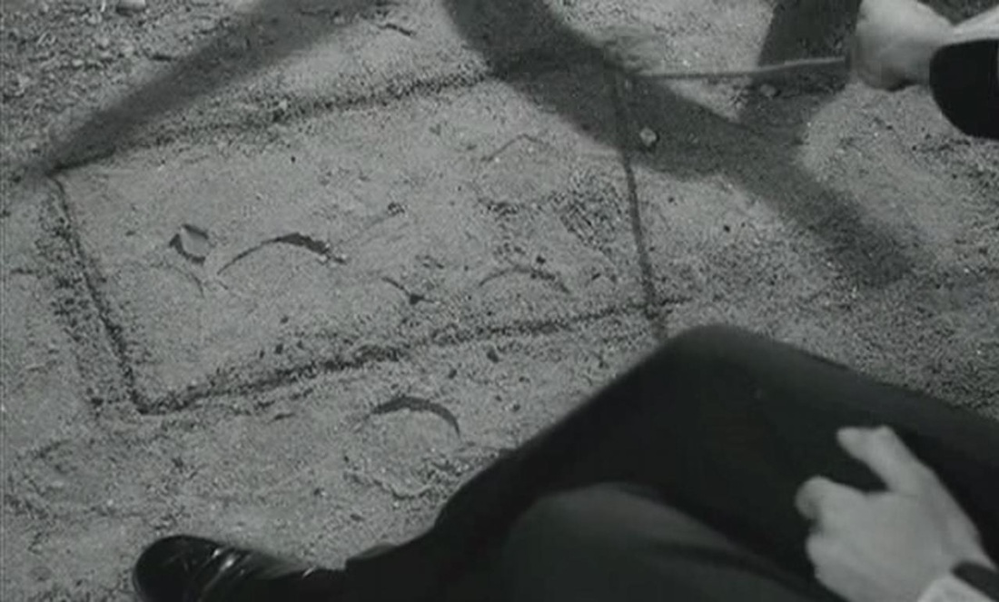
She examines the map closely but it is only on folding it that she notices a hand-drawn map of the hotel's immediate vicinity: 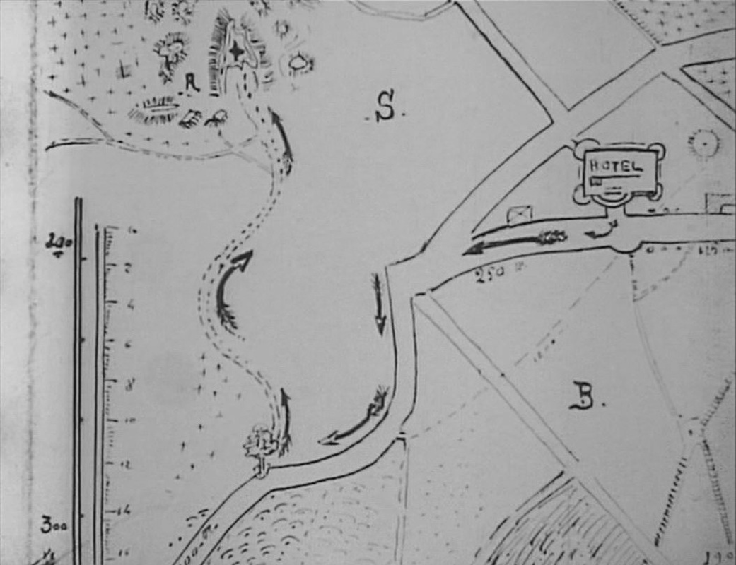 This she examines even more closely, realising that it shows where the Americans have hidden their 'treasure', among the famous rock formations in the forest of Fontainebleau. She folds the map to take it to the Grand Vampire:
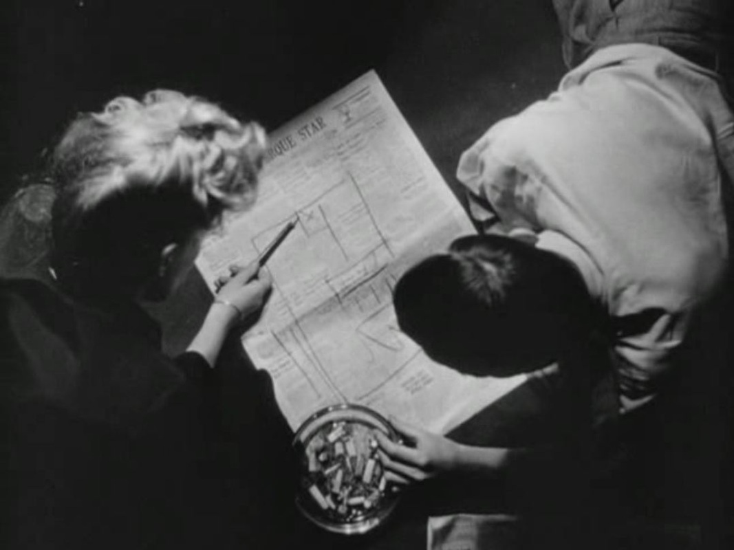
It is striking that when she turns out the light the one thing we can make out clearly is the folded map in her hand. When she leaves the room the second piece of business concerning the map begins. She is seized by the Vampires' rival Moreno, who drugs her and examines the map in turn:
He too sees only the printed map at first, and only on folding it notices the hand-drawn map:
Drawing the same conclusion as Irma, he replaces her with a hypnotised servant with instructions to pass the map to the Grand Vampire, as Irma would have done. His plan is to have the Vampires collect the treasure from the rocks and waylay them, rather than go to the bother of fetching the treasure himself.
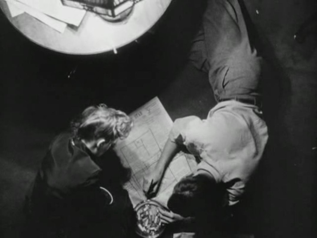
In this sequence also there is a moment when the lights are put out and all we see is the white folded map. The third person to scrutinise the map is the Grand Vampire, who goes through the same process of first attending to the printed side and only after noticing the hand-drawn map overleaf:
He show the map to his accomplice, and sends her out to fetch the treasure in the forest:
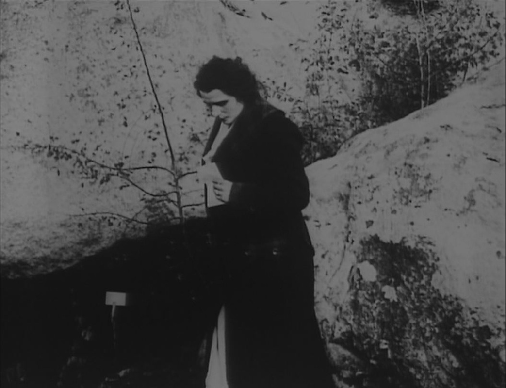
The last time we are shown the map is as she finds her way in the dark up to the hiding place:
The dramatic irony in this sucession of sequences is that the map is useless to everyone involved, since Guérande and Mazamette have already discovered the hiding place and replaced the treasure with a note to that effect.
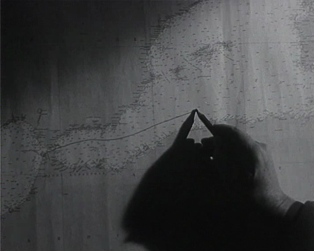
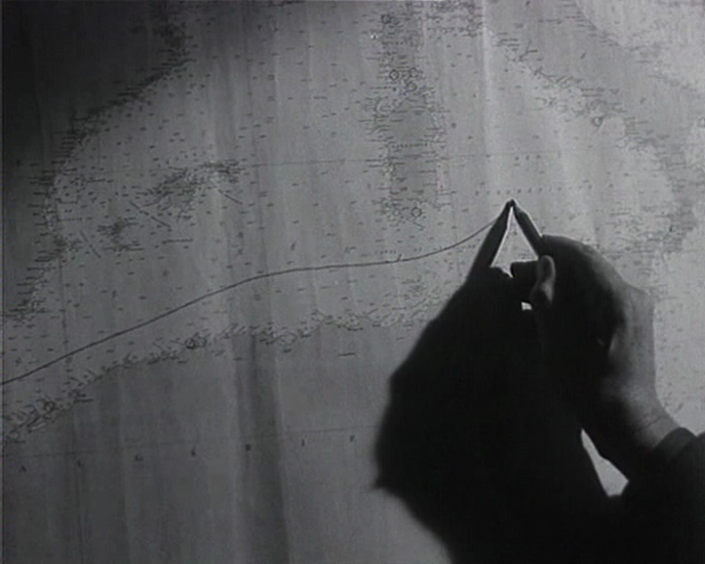
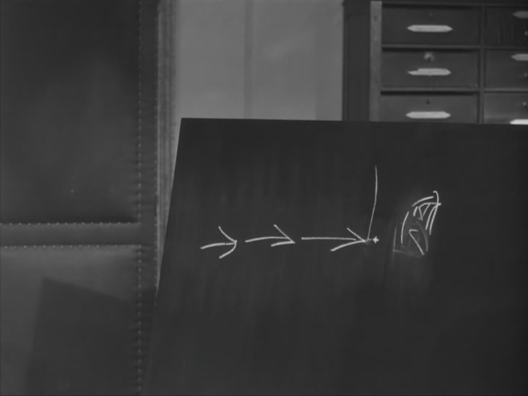
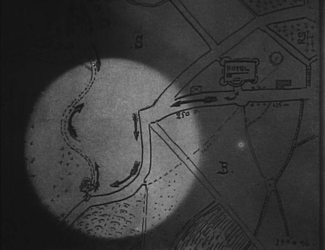
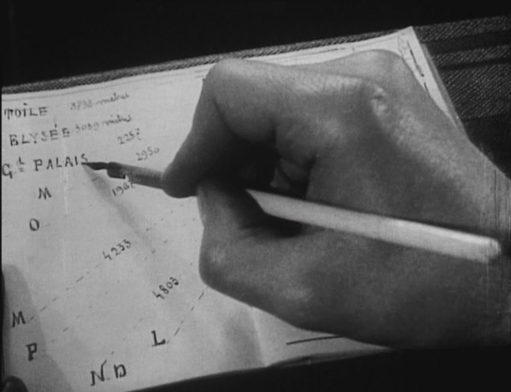
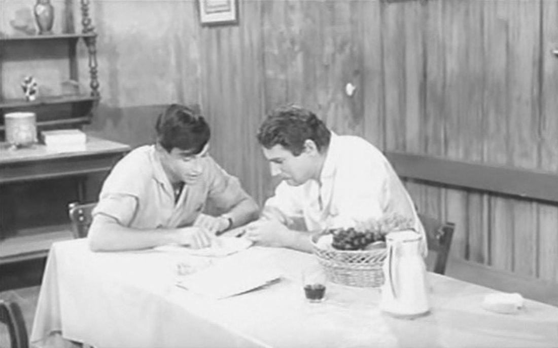
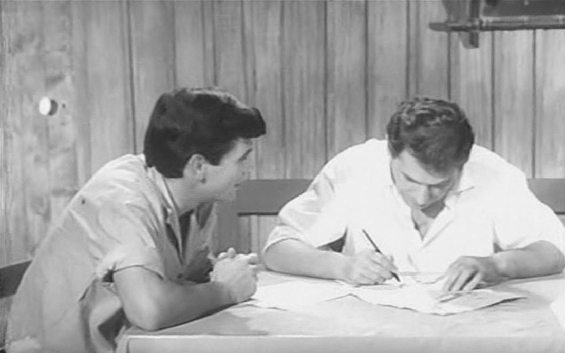
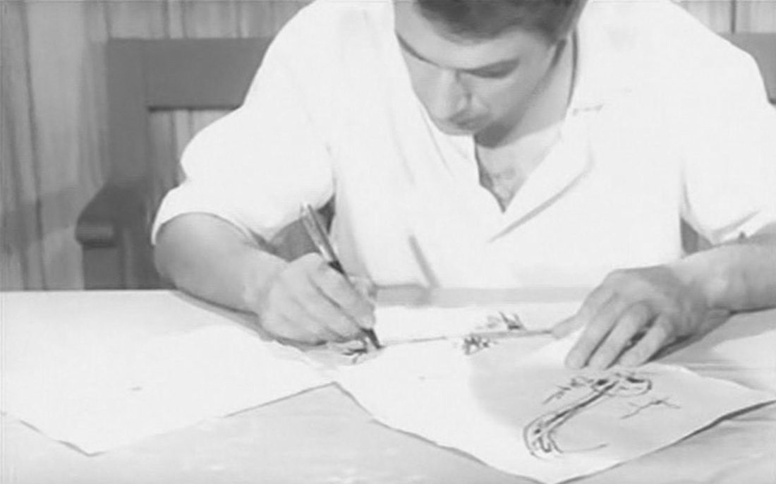
The cartographic irony in this succession of sequences is that neither the map of the region nor that of the hotel's vicinity could tell us where we really are in the film. This is indeed the forest of Fontainebleau, though I am not yet equipped to identify which specific rock formation features in the film. I can say, however, that we are not in the town of Fontainebleau, where there was no hôtel du Grand Veneur at the time (as far as I can tell). The exteriors we see in the sequence are those of the hôtel de la Renaissance, in Marlotte. On the map below, Marlotte is at the southernmost extremity, just right of centre: 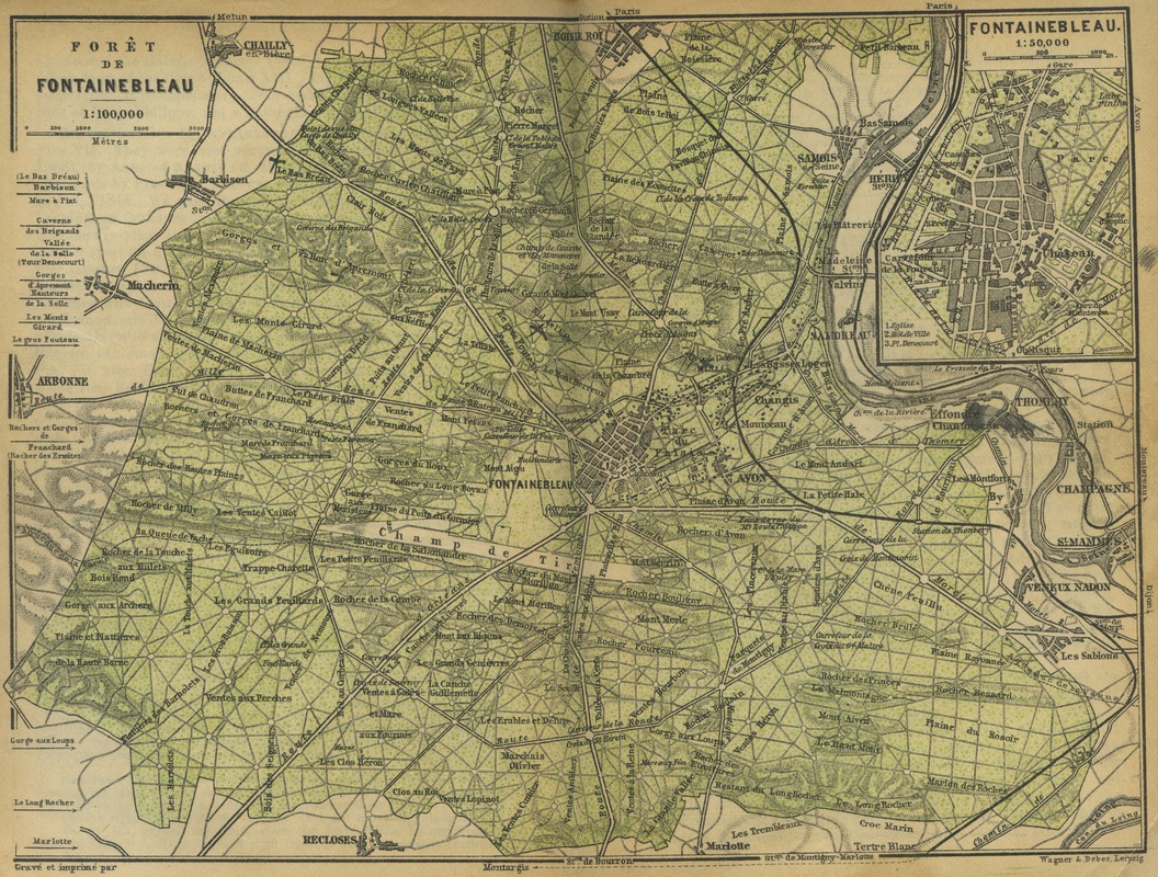 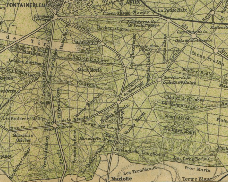 The rocks just north of Marlotte may be those we see in the film; convenience dictates that the nearest rocks would do. I have tried to make the hand-drawn map of the hotel's vicinity fit the actual layout of Marlotte, without success. If the map is oriented with the north to the left, then the 'B' could stand for Bourron, a village just west of Marlotte, but I can't see what the 'S' could stand for (presumably the 'R' is a 'rocher'): 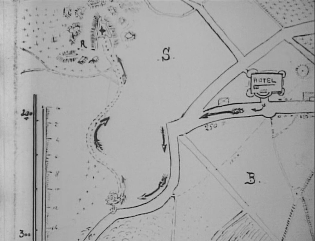 I'm forgetting that the hotel is supposed to be in Fontainebleau, to which the map corresponds even less. The second map in Les Vampires is in episode eight, 'Le Maître de la foudre', and also requires some deciphering. In the Vampires' codebook found by Guérande in the second episode, there is this schematic representation of Paris: 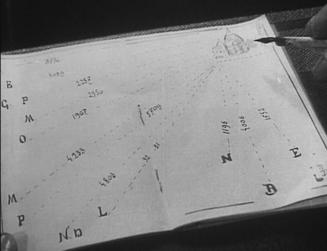 Guérande tells Mazamette he has worked out that these directions and distances correspond to the trajectories of missiles fired from a single point, near the Sacré Coeur in Montmartre. Guérande proceeds to fill in some of the place names to which the letters correspond: 'Etoile', i.e. the place de l'Etoile; 'Elysée', i.e. the palais de l'Elysée; 'Grand Palais', 'Opéra':
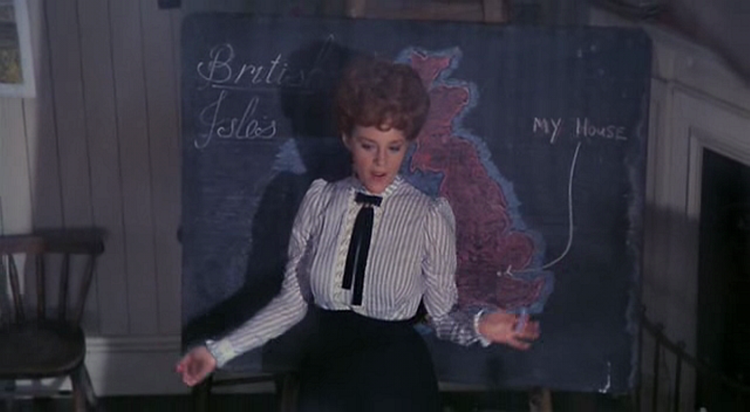
Tantalisingly, in the shot that follows he identifies three more places verbally, but my interpretative skills do not extend to reading his lips:  I have tried matching the distances to places in the corresponding directions, though the film doesn't seem to have been particularly careful in its own calculations, since the Elysée and the Grand Palais are close to each other in reality but according to the map are respectively 3089 metres and 2257 metres from Montmartre. Still, for the initials remaining I would make these guesses: 'M' = La Madeleine 'M' = gare Montparnasse 'P' = Panthéon 'N.D' = Notre Dame (though the '4803 metres' is far too much) 'L' = Louvre 'N' = gare du Nord 'B' = Bastille 'E' = gare de l'Est 'L' = gare de Lyon (I think that's an 'L') 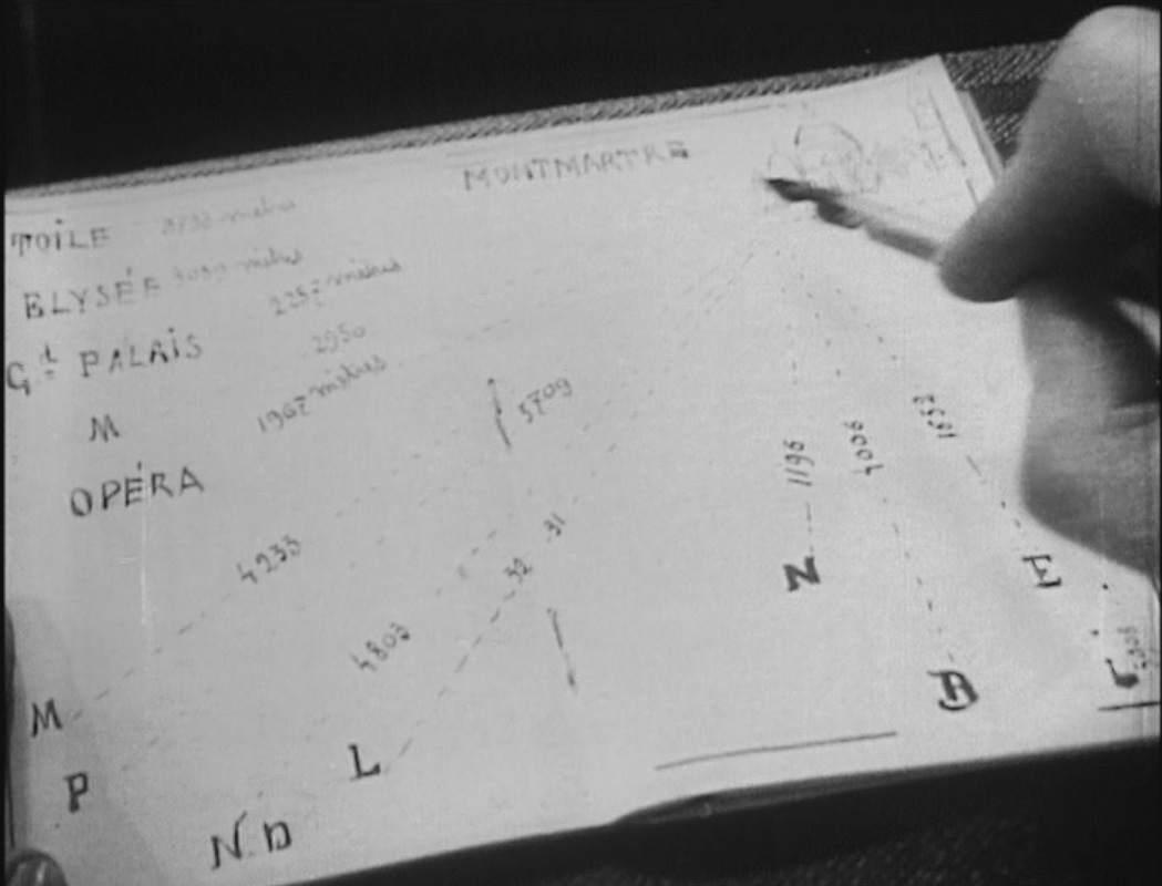 That's probably enough work on the maps in Les Vampires, and probably enough work on finding maps in films, for the moment. This is the three hundred and sixty-fifth 'Daily Map' posting; this being a leap year, tomorrow's will make it a full year's worth, and will be the last daily map. Further maps in films will be posted from time to time, whenever I find a good one.
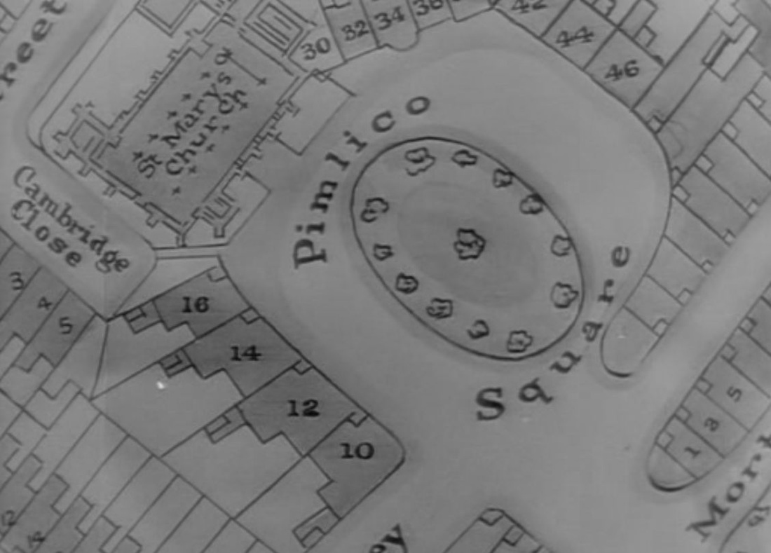 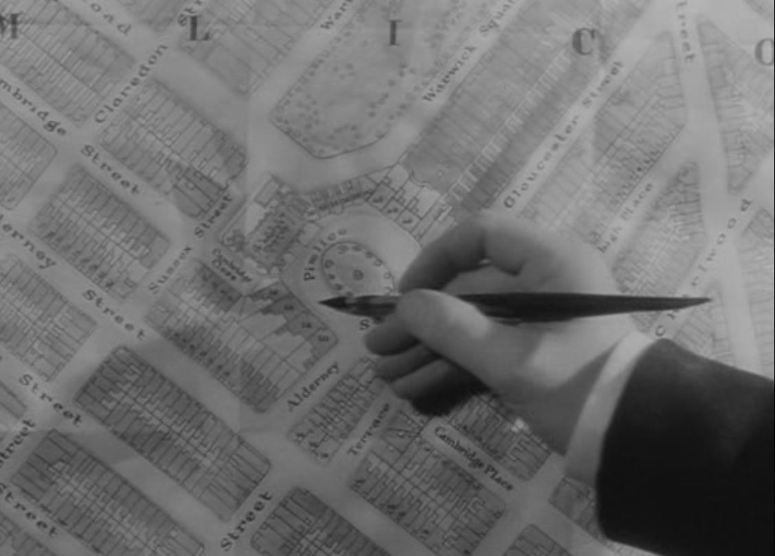 In situating 'Pimlico Square', Dickinson's film takes great trouble to redraw the map of Pimlico, placing the fictional square between real streets and squares. On the map below, from 1939, Pimlico Square would be just above the 'GE' of Cambridge Street. The second map below shows a church where the redrawn map has a church, though in reality it is called Saint Gabriel's, not Saint Mary's. 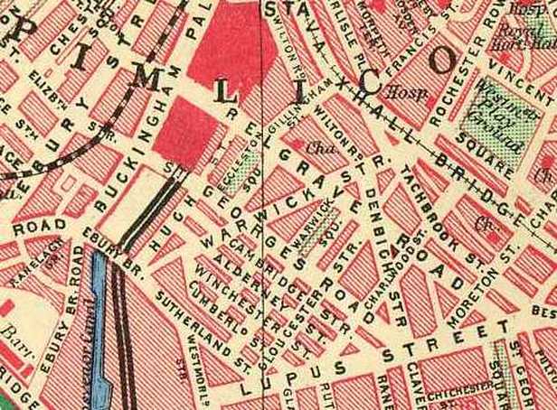 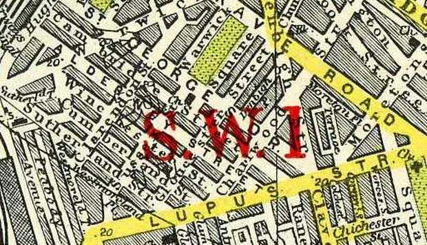 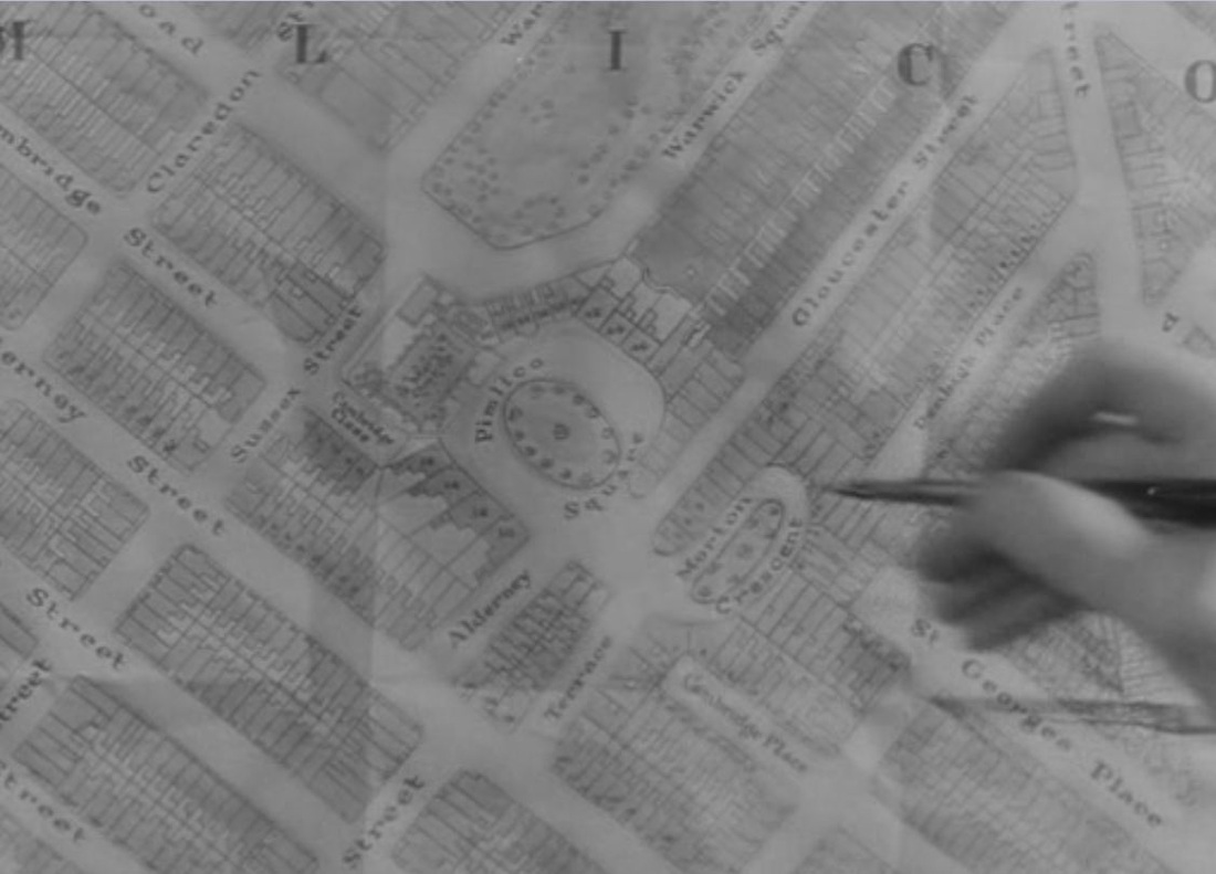  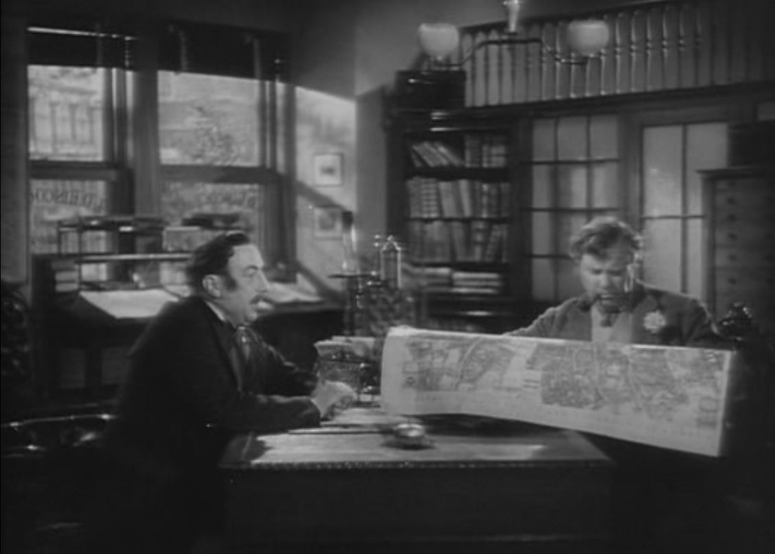 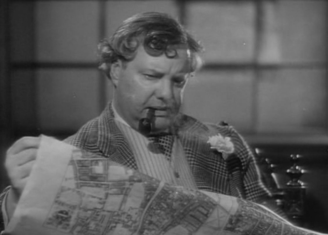 'Thornton Square' in Cukor's film is equally fictional, though this less localised production is not so concerned with situating the locale on a real map. The corresponding map scene has the investigator making his deductions with a hand-drawn map: 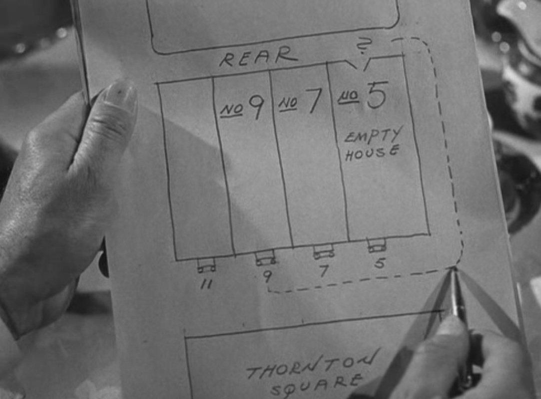 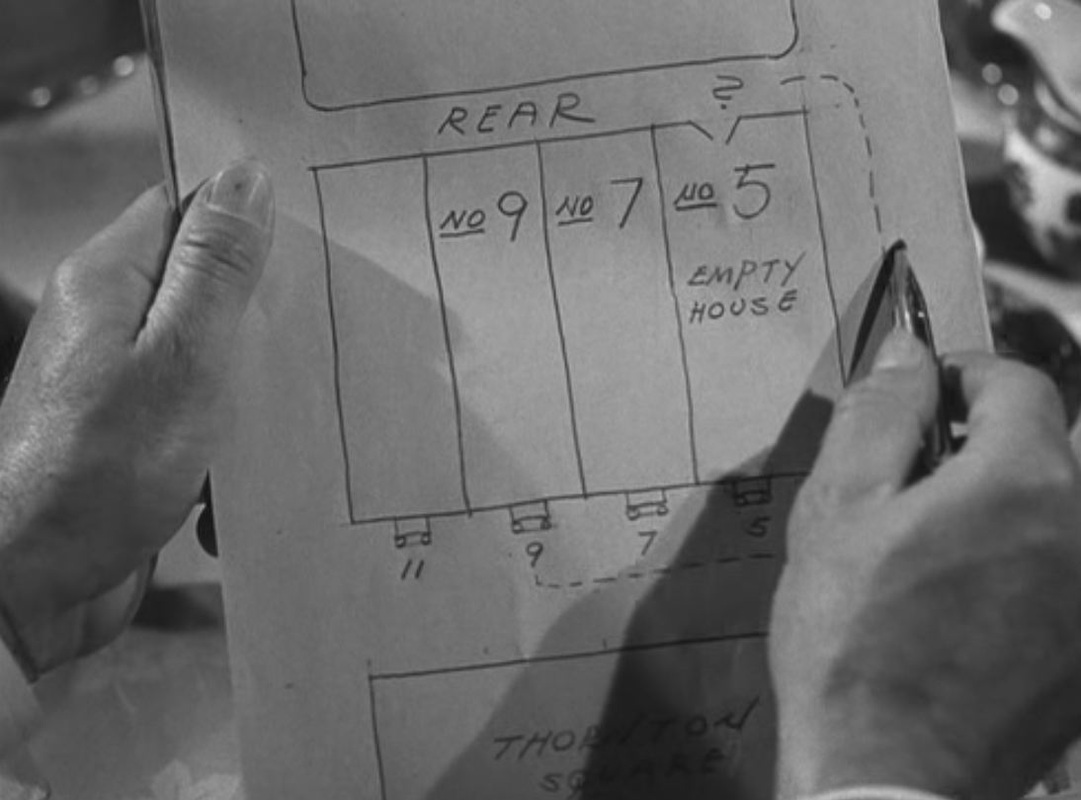 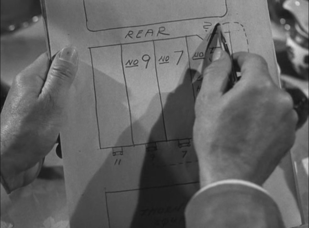  Both map scenes have in the background a map on the wall:  Gaslight (Thorold Dickinson 1940)  Gaslight (George Cukor 1944) 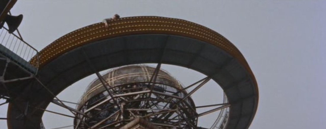 A plot premise of House of Bamboo is the cooperation of Tokyo police and U.S. military in the investigation of a crime. The offices of each set of investigators are returned to regularly in the film, and each space has its own maps of the Tokyo area: 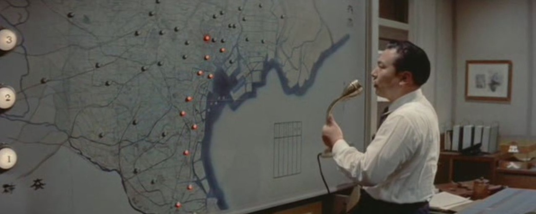 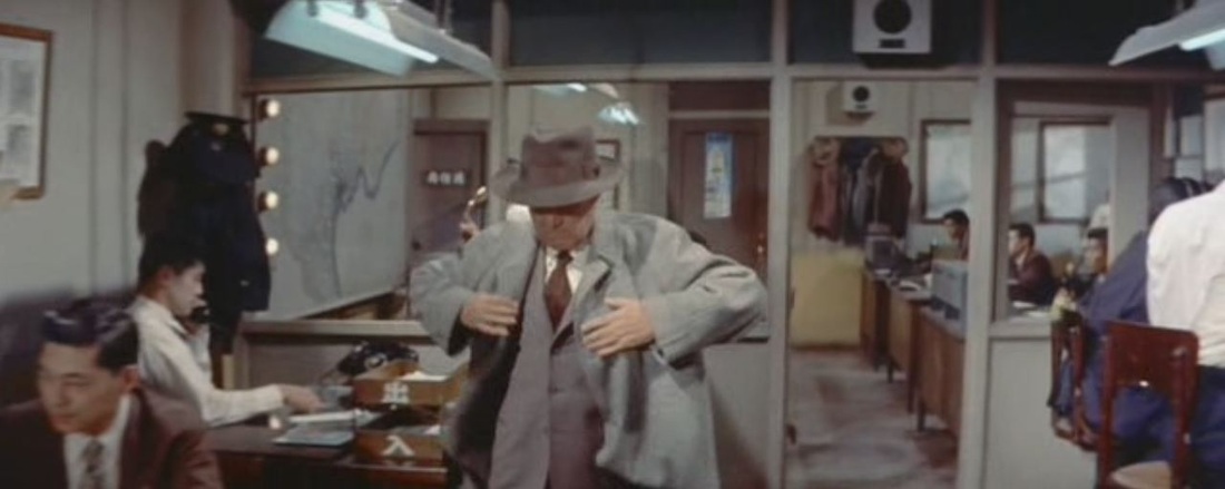 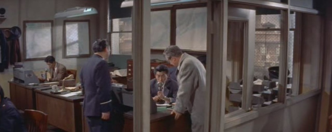 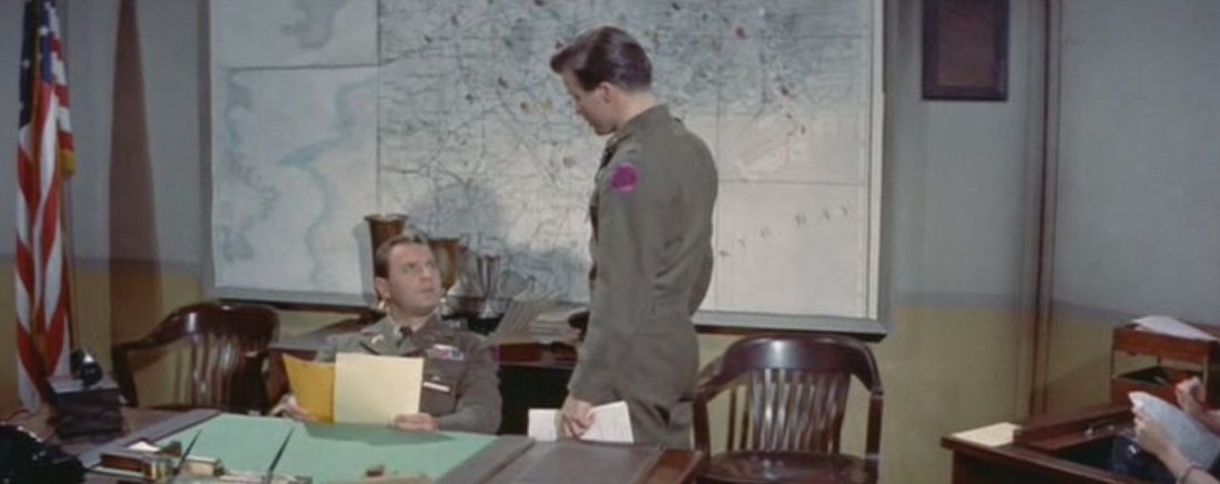 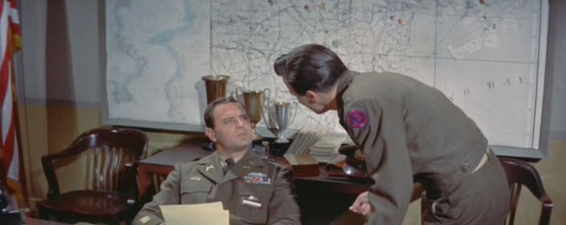    Parallels are drawn with the criminals responsible, who are shown planning a robbery with military meticulousness and maps (the gang is made up of former U.S. servicemen): 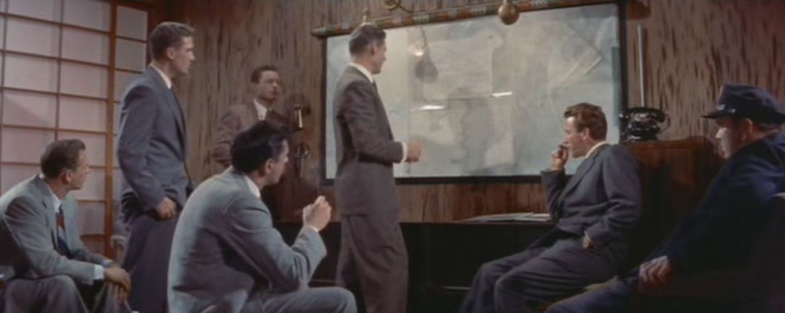 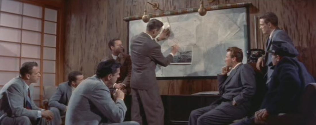 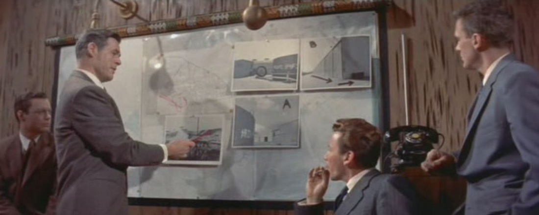 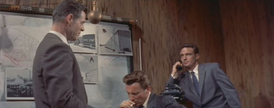  Later, the same criminals are ahown planning a further robbery in the Ginza district by means of this improvised map:   This plan is transcribed by an undercover police agent, and his hand-drawn map is passed to the U.S. military investigators:  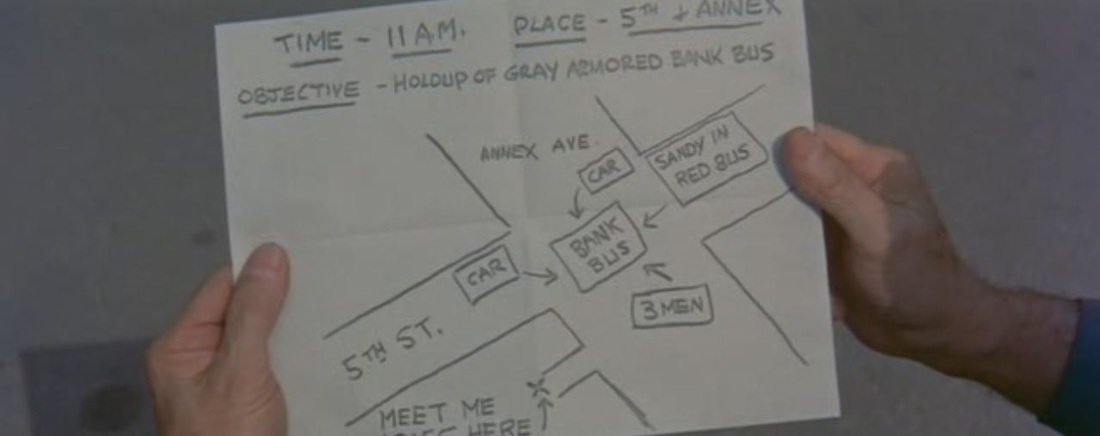 The film's famous climax at a rooftop amusement park overlooking Tokyo features a turning globe as attraction, combining overt cartographic symbolism with intertextual echoes of The Third Man and White Heat ('Top of of the world, Ma'): 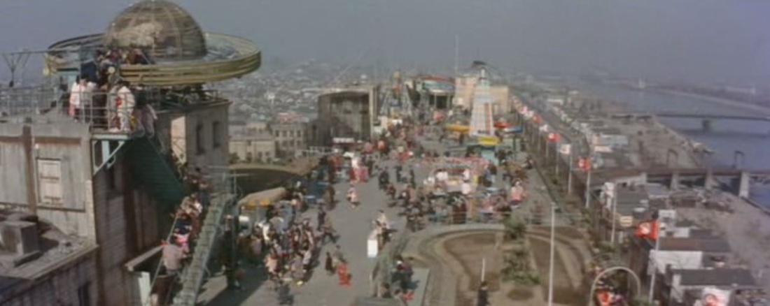 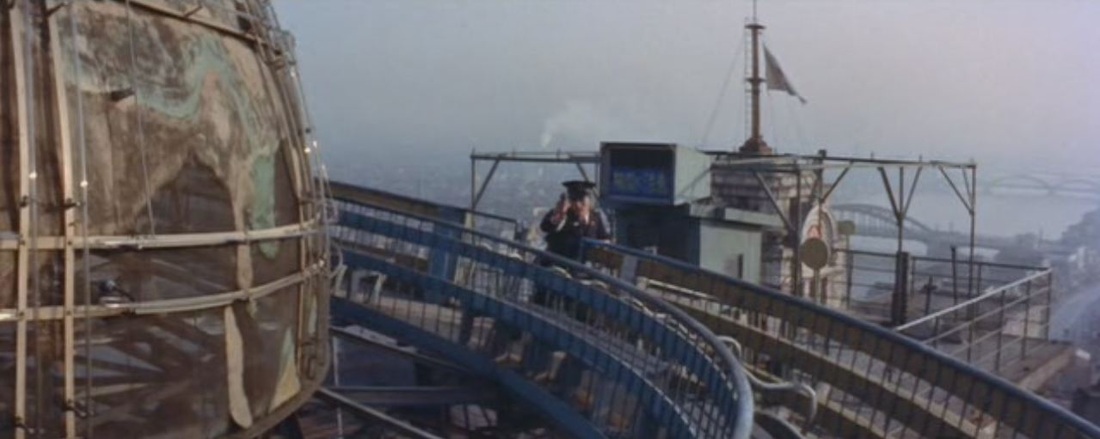 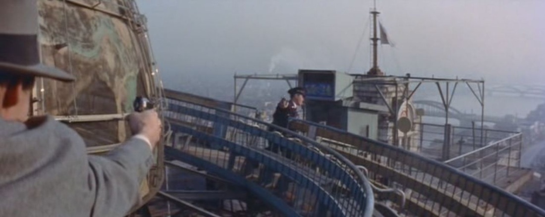     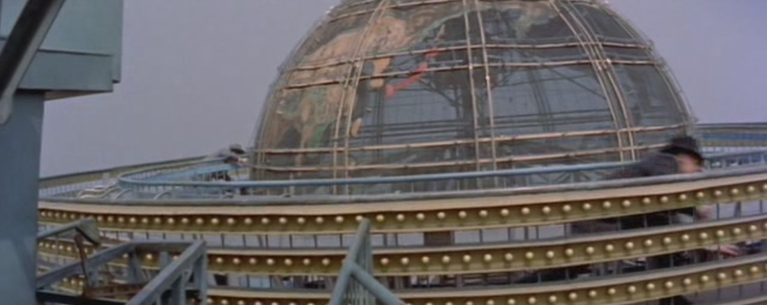 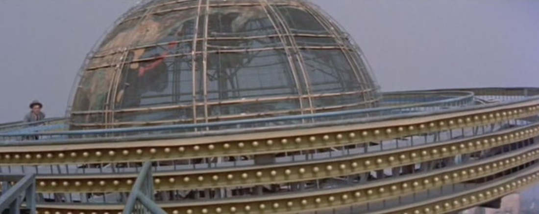 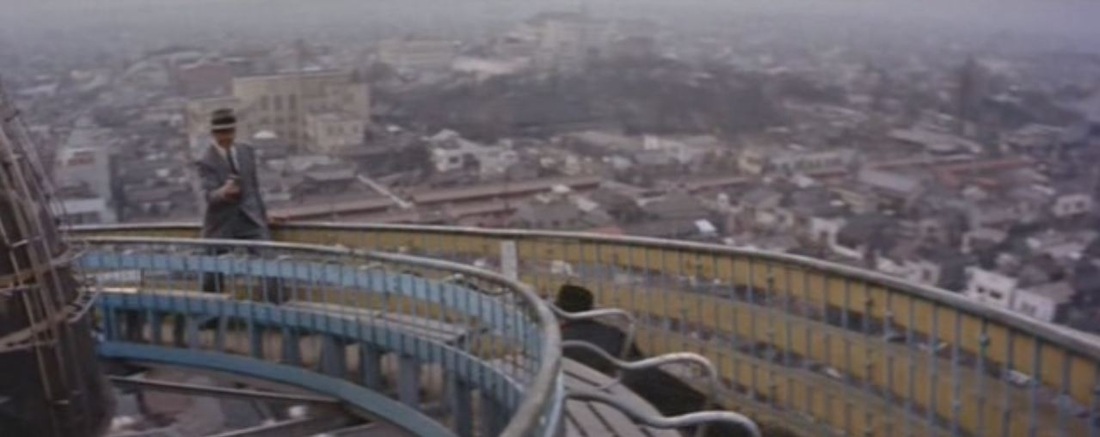 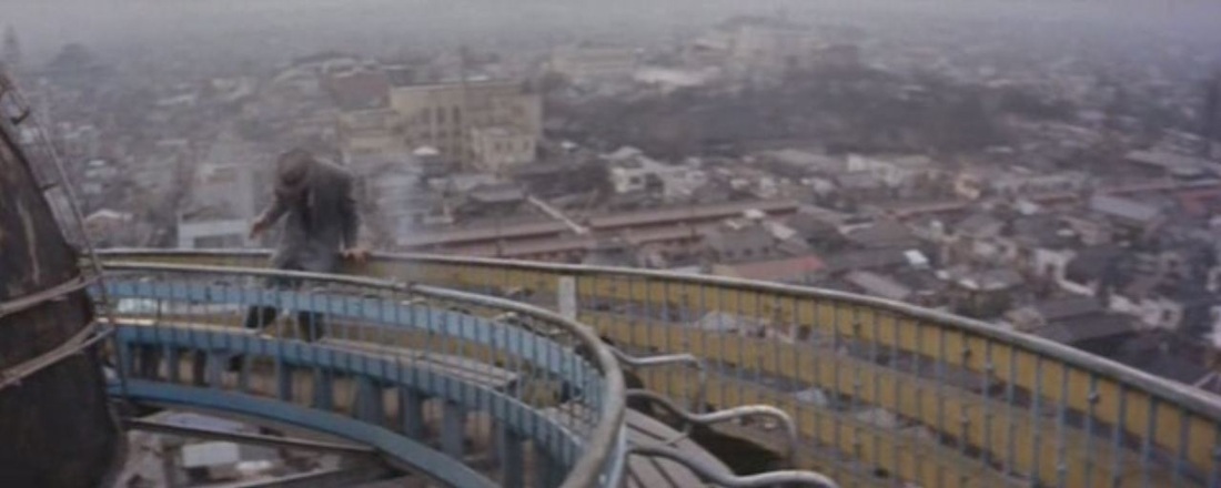 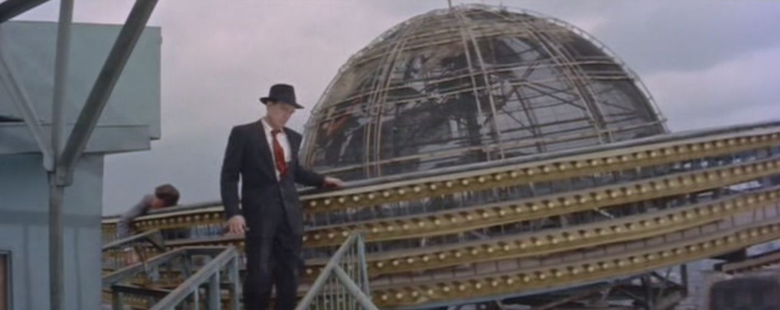 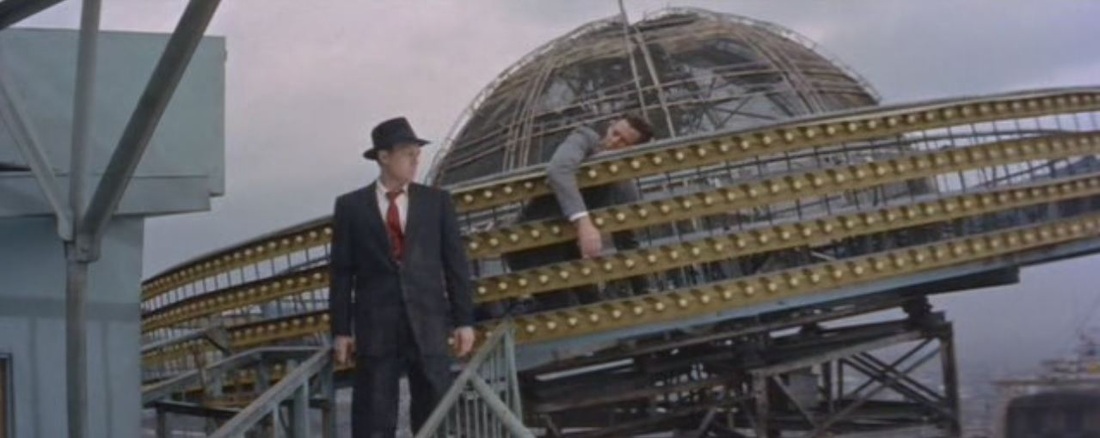  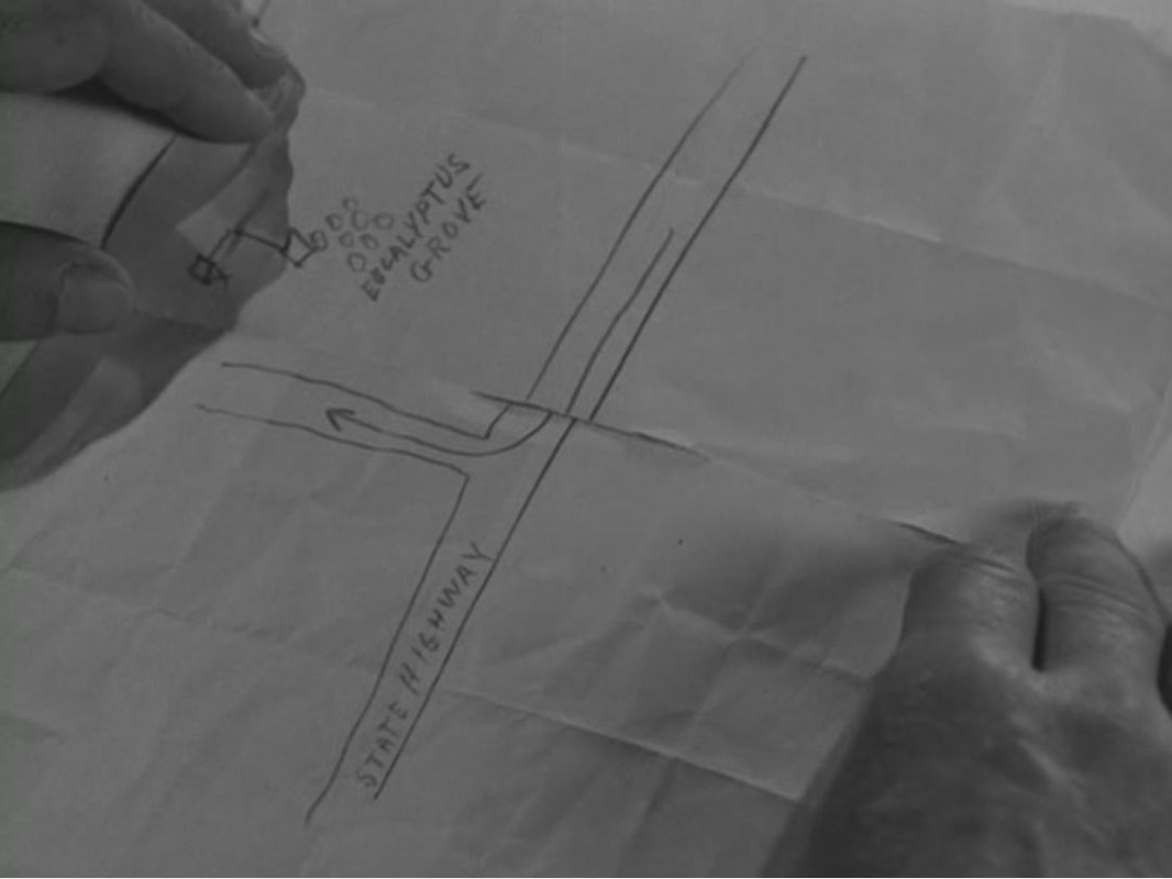
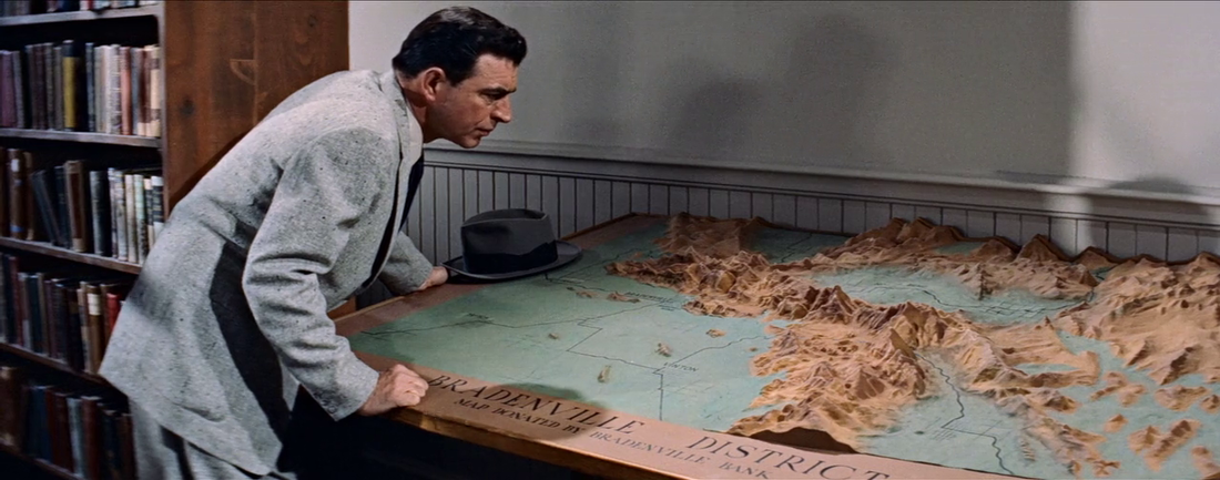
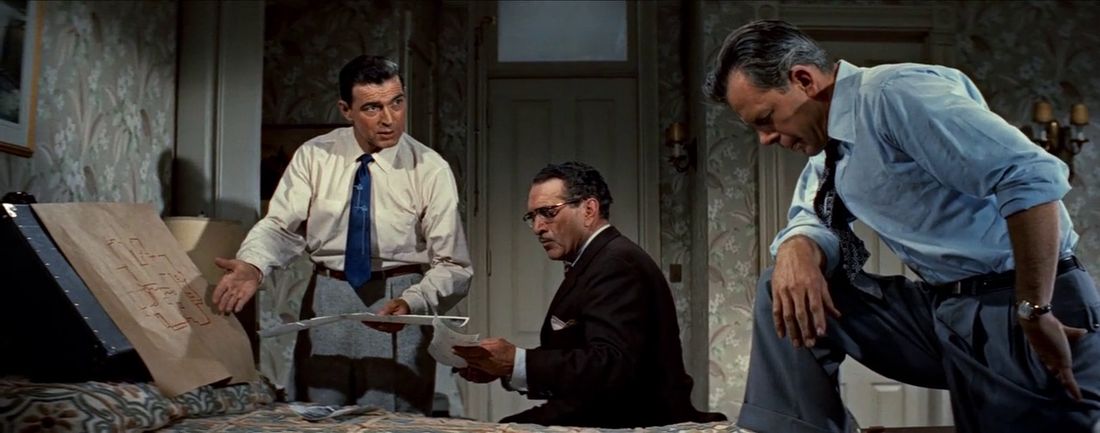
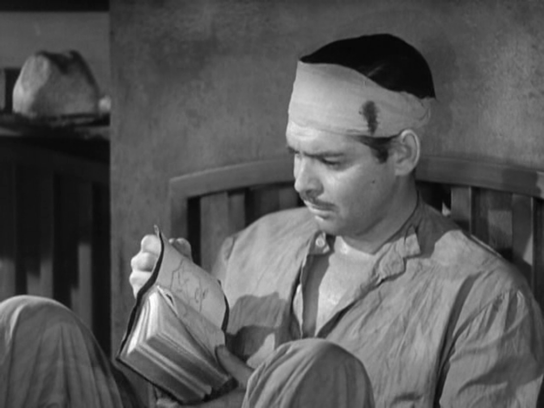
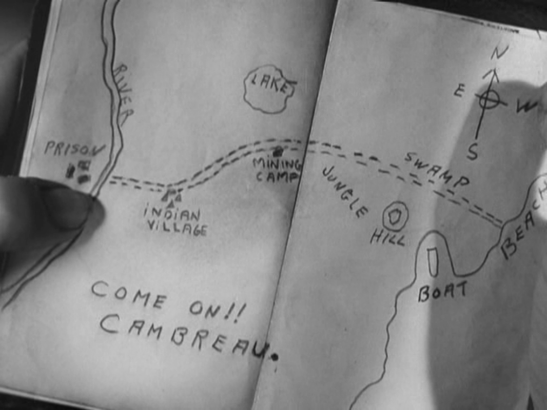
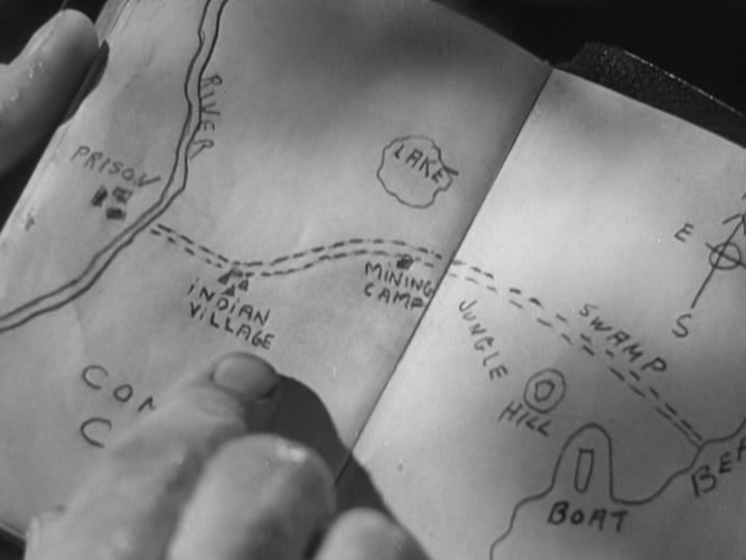
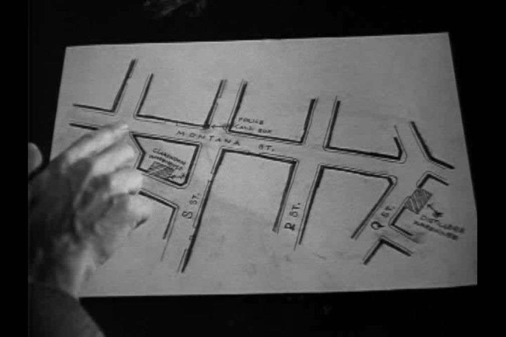
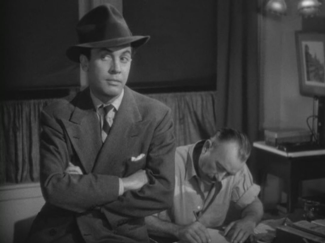
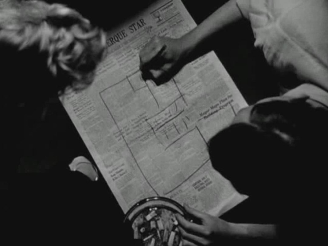
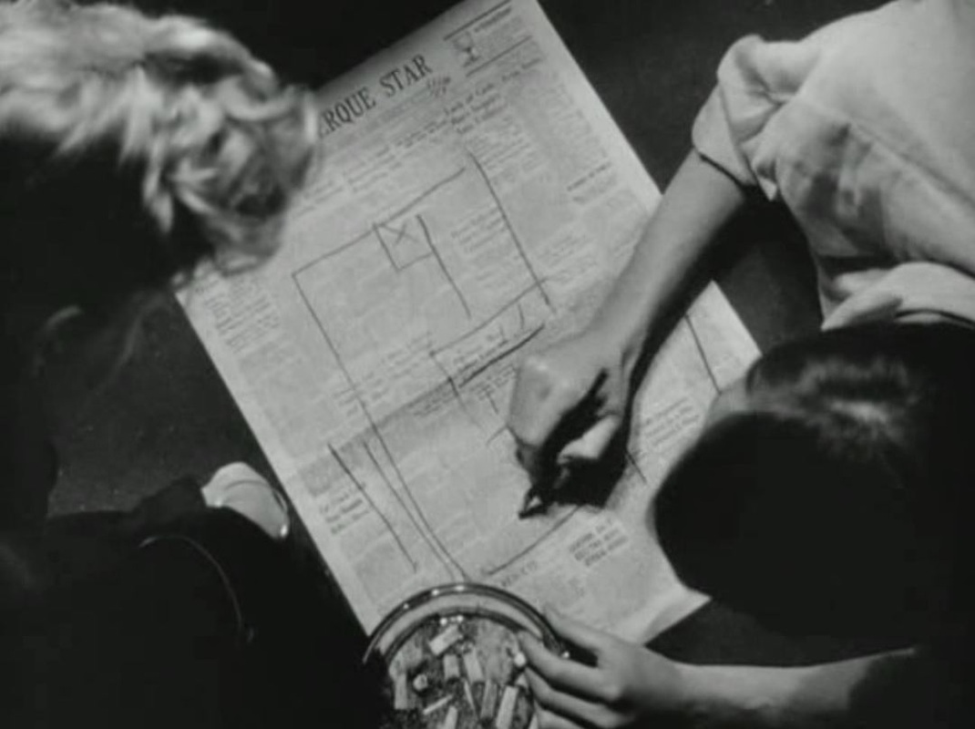
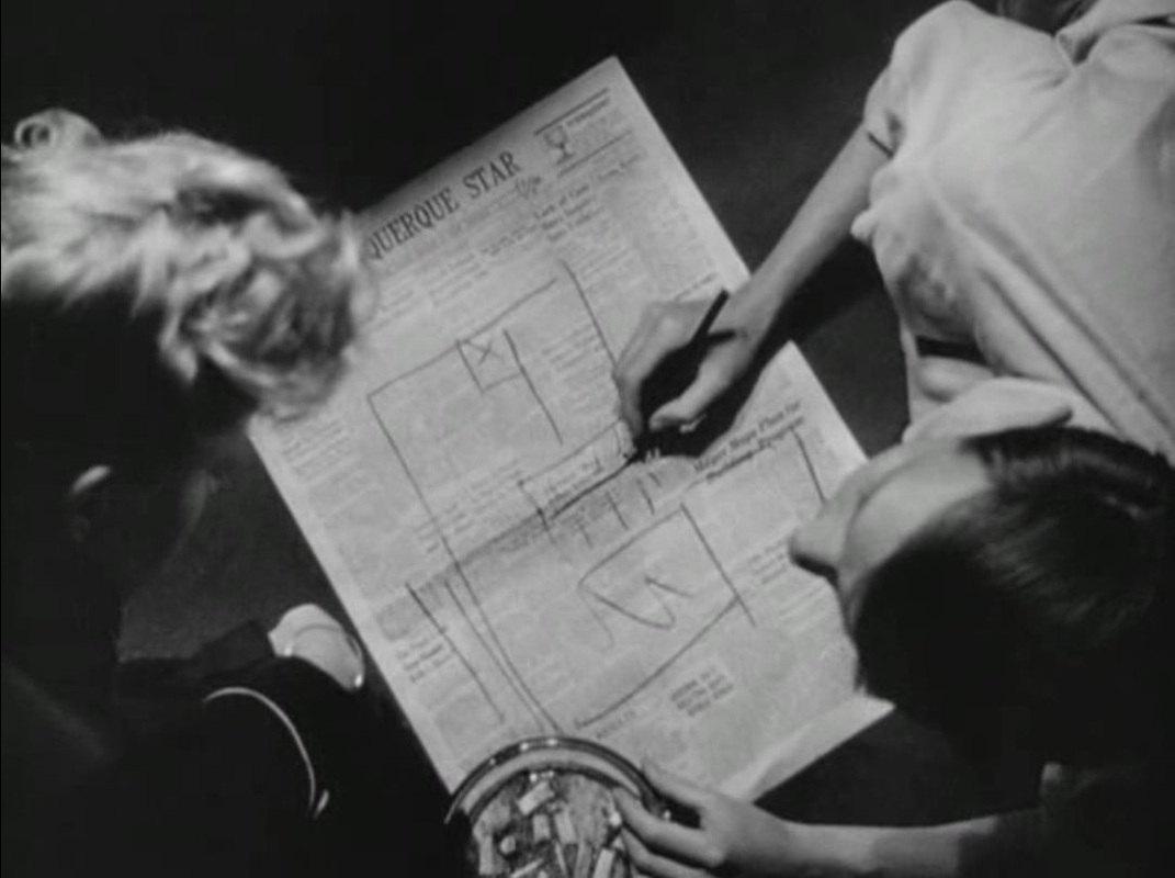
Another noir with a hand-drawn map. This time the whole plot turns around the map and the treasure to which it leads (see plot summary below). 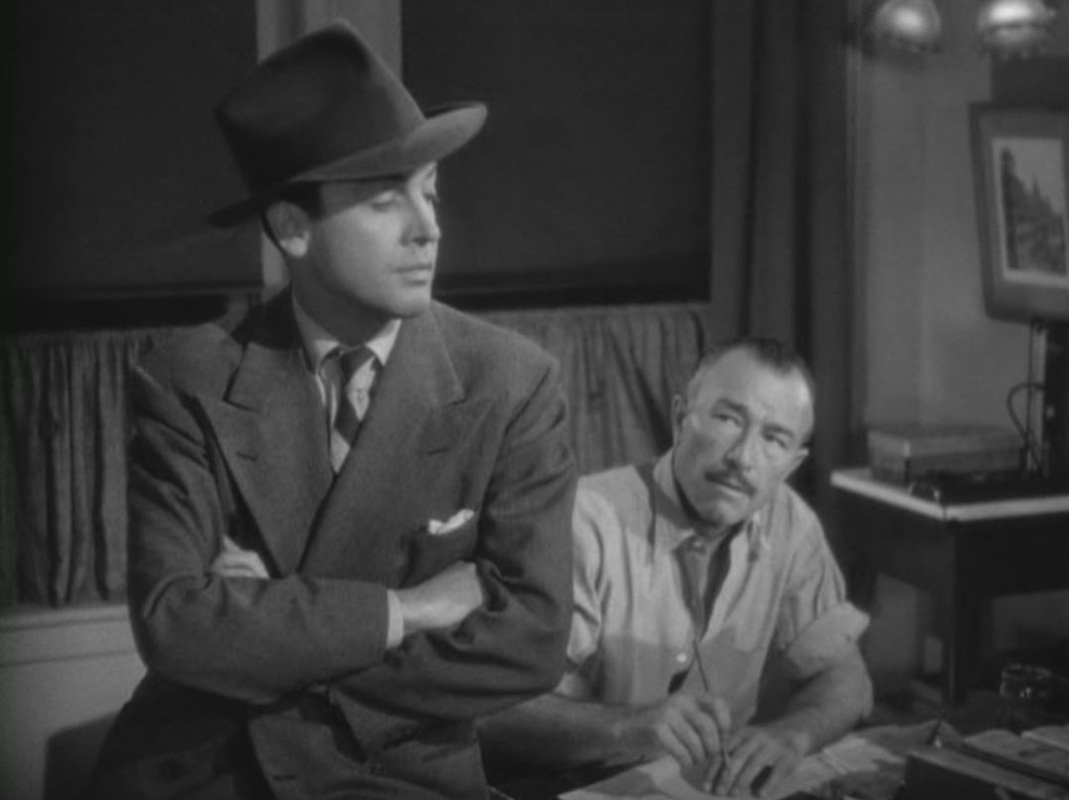

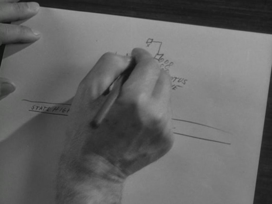


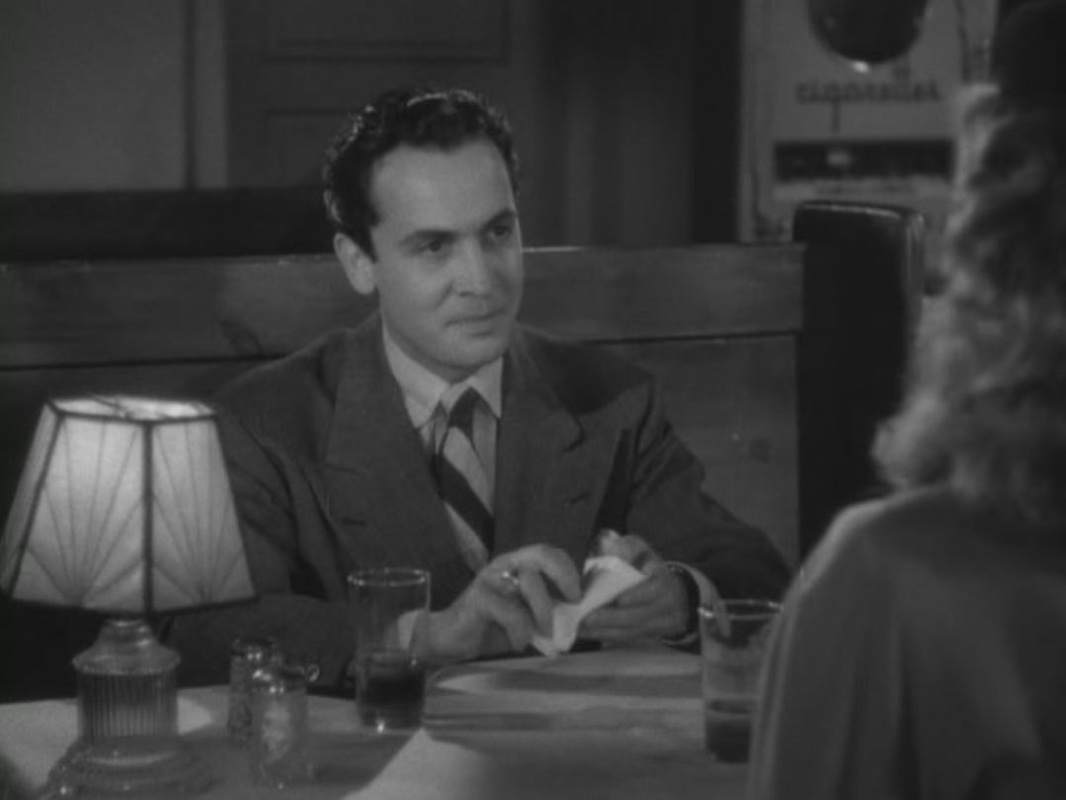
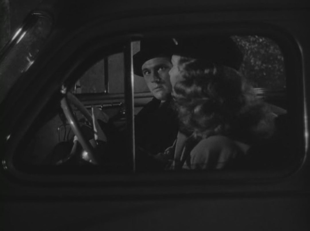


Arthur Lyons, Death On the Cheap: the Lost B-Movies of Film Noir (Cambridge MA: Da Capo Press, 2000), pp. 87-88. 
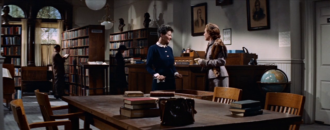
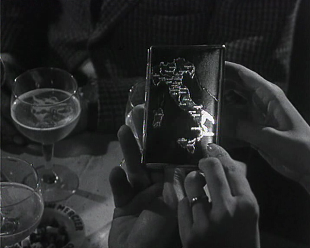
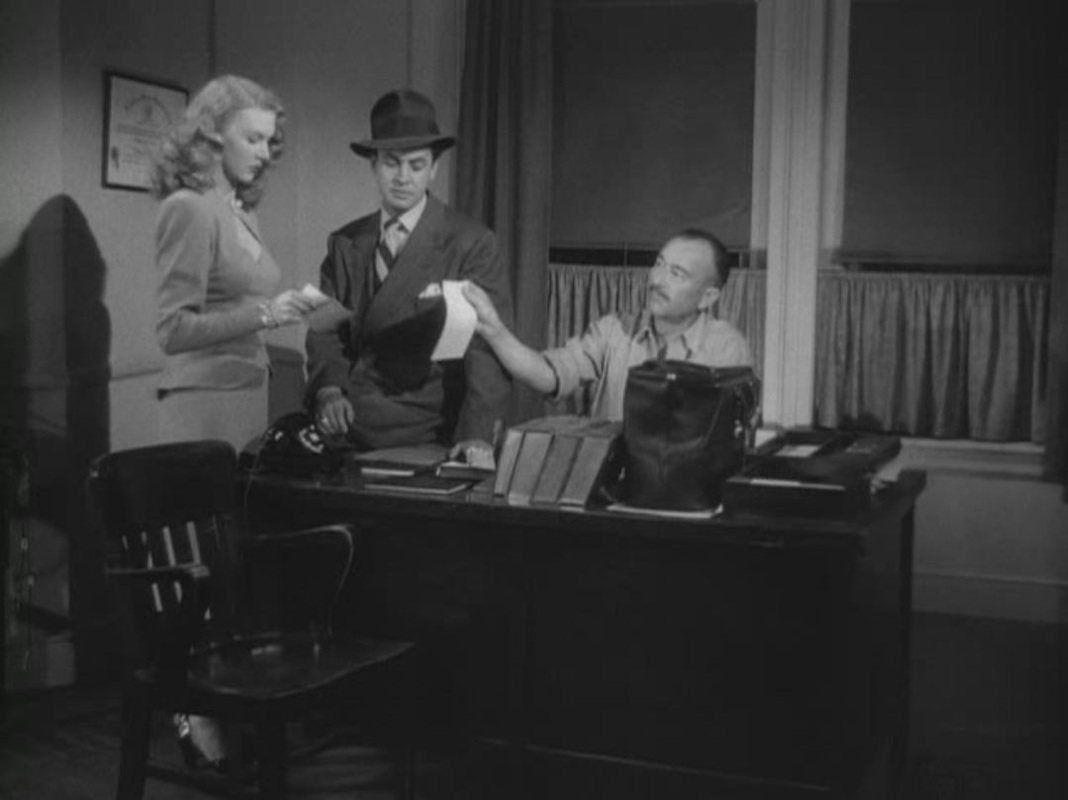
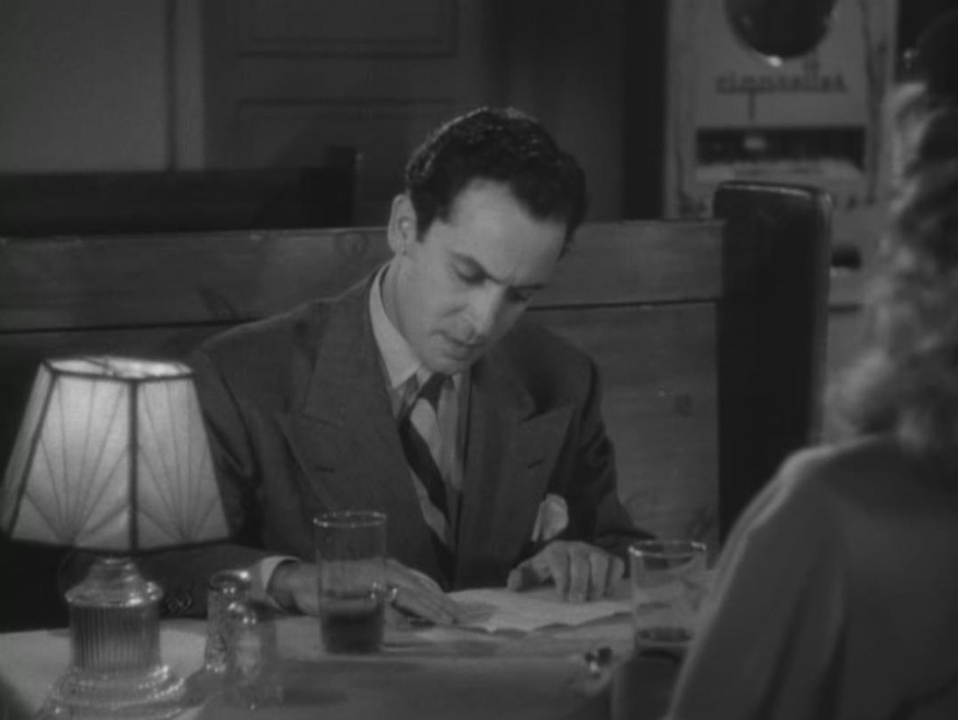
       One of noir's finest map moments (with thanks to Steve Bennison for pointing me to it).  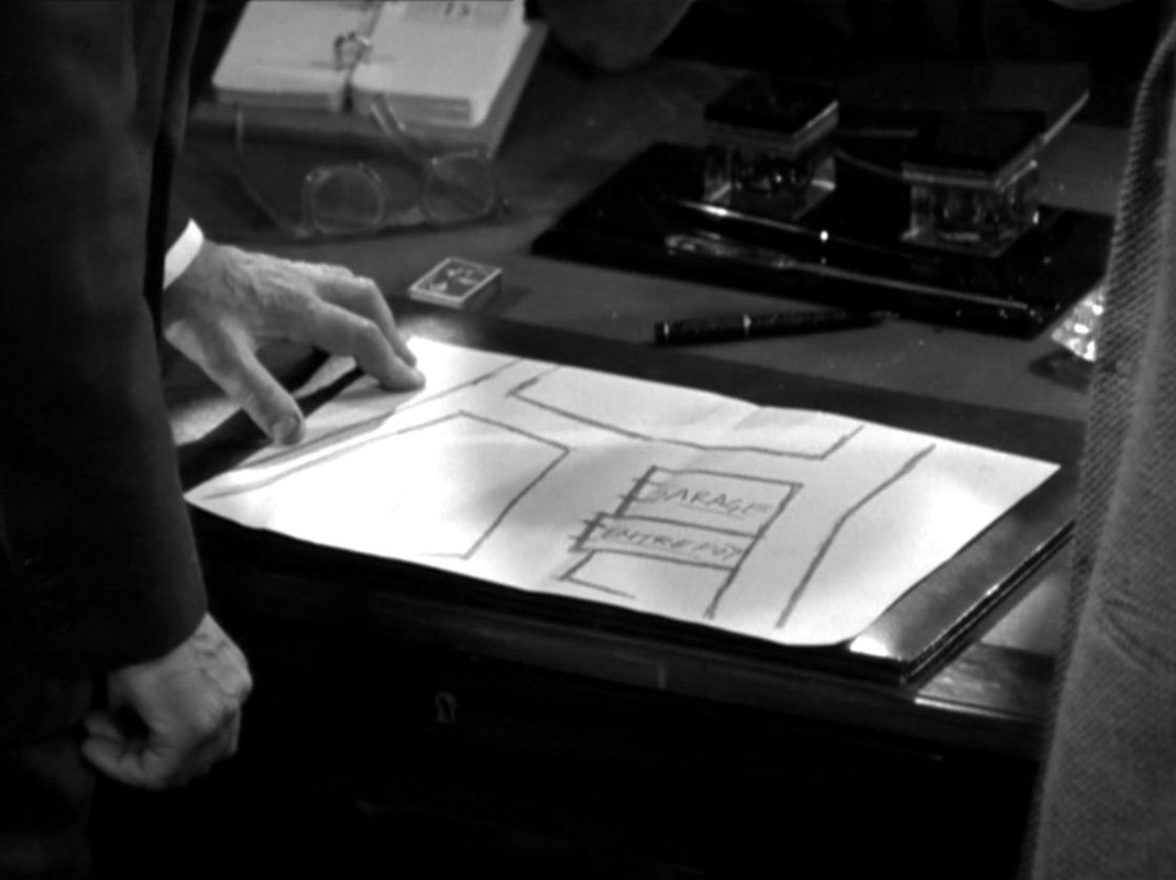 Investigating this late noir by an early French master of the mode, I came across not only the staircase and striptease artiste I had been looking for (in relation to other, ongoing, research projects) but also this fine moment to add to an earlier post (see here) of hand-drawn maps:  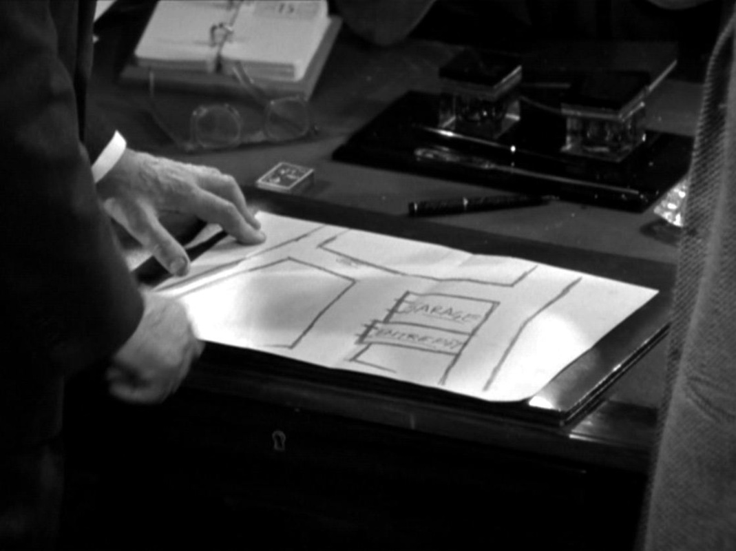 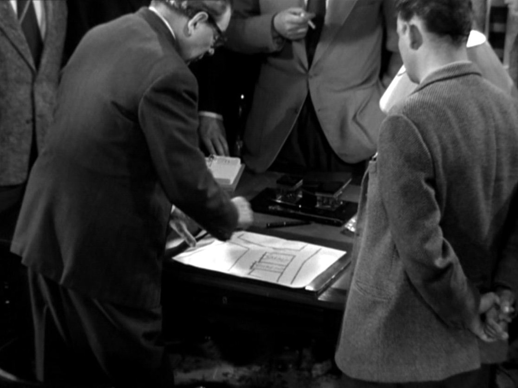   The film also satisfies the interests of the Cine-Tourist's fellow Autopsies Group members in such diverse objects as jukeboxes, radios, cameras, cars and typewriters: 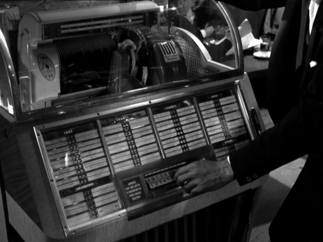 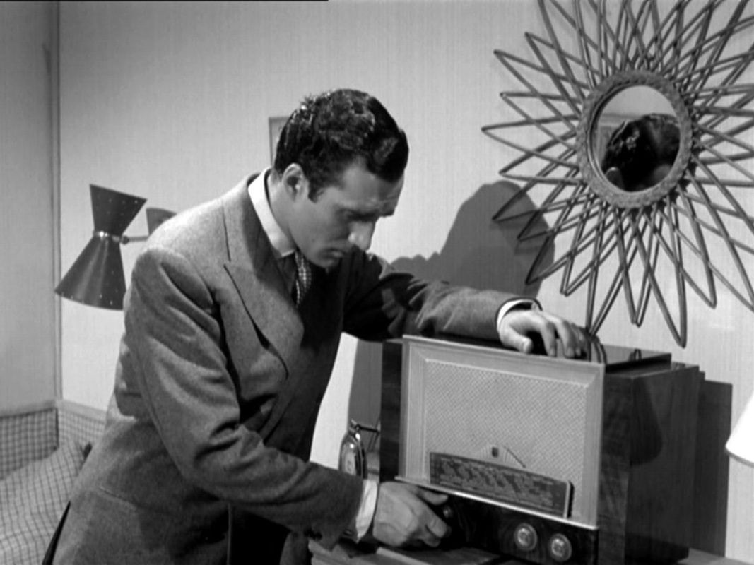  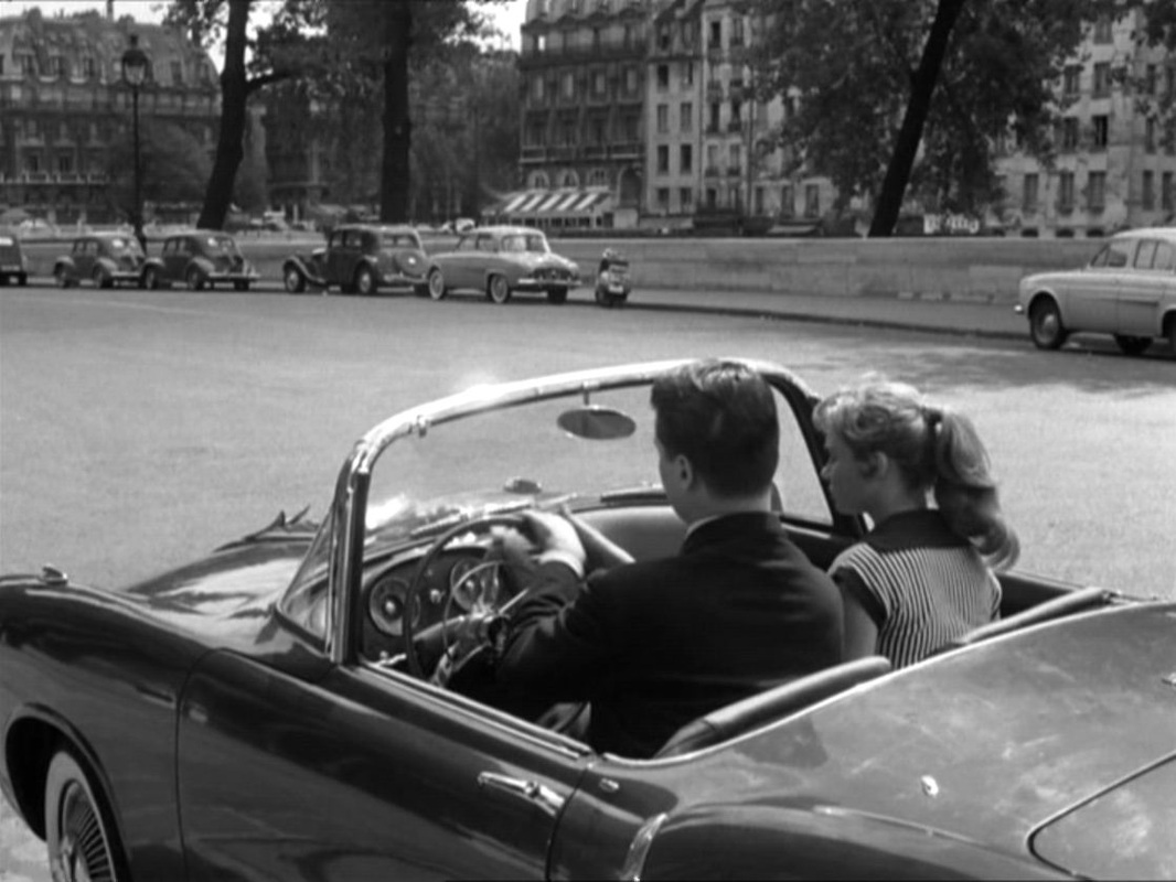 Here, if you're interested, are the stripper and staircase I was looking for:   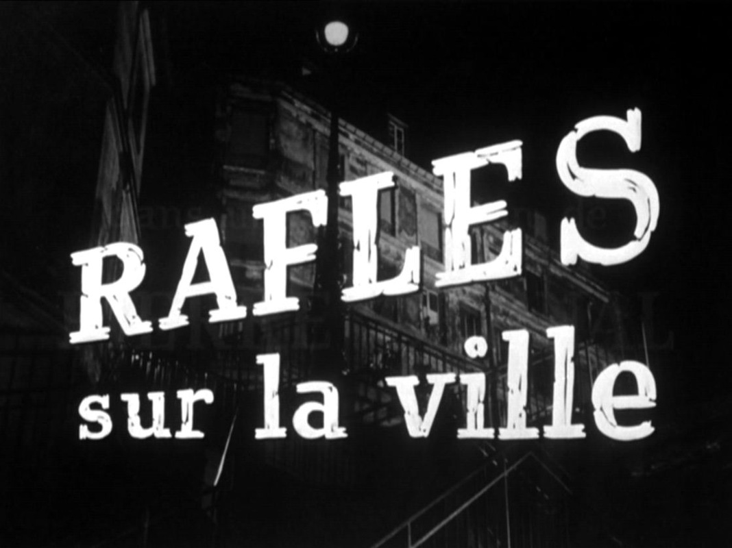  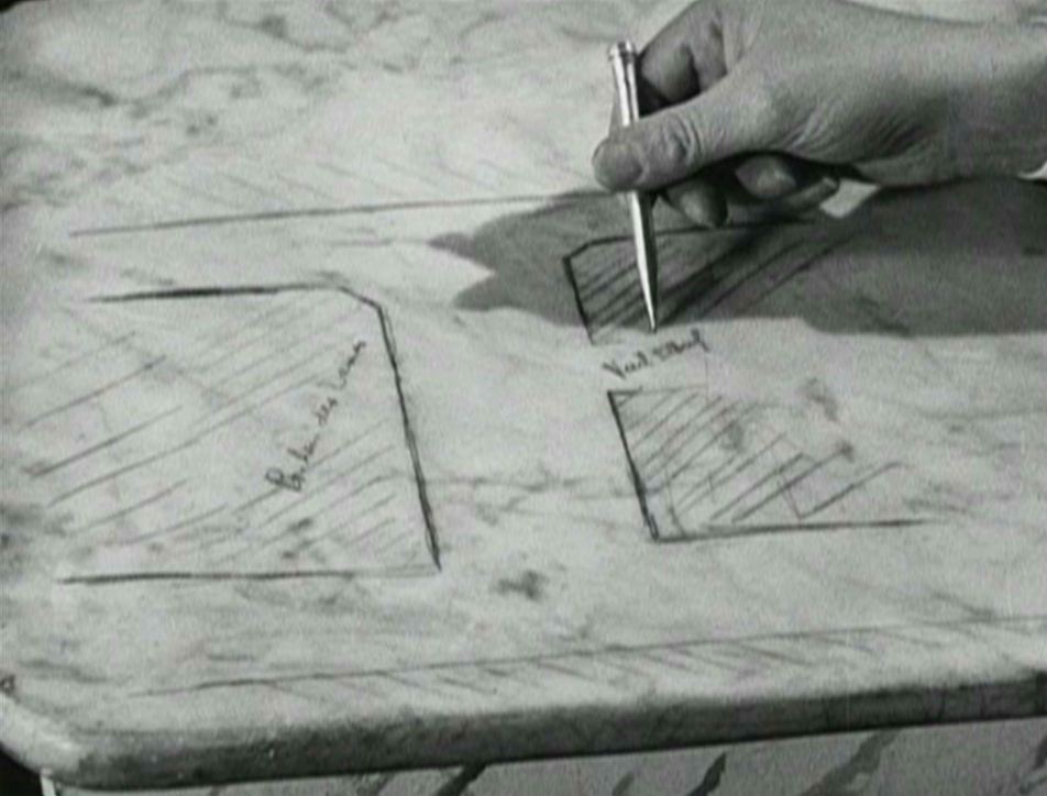 Au bonheur des dames (Julien Duvivier 1930)  Bob le flambeur (Jean-Pierre Melville 1956)  Boy Meets Girl (Leos Carax 1984)  Britannia Hospital (Lindsay Anderson 1982)  The Burglar (Paul Wendkos 1957)  Le Chevalier de la Maison rouge (Albert Capellani 1914)  Comme des voleurs (Lionel Baier 2006) 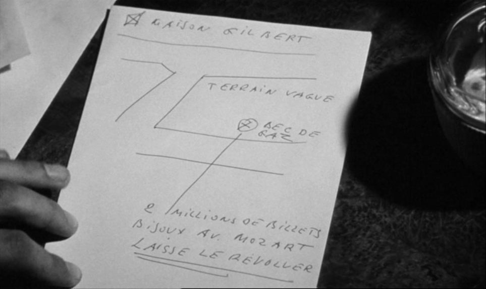 Le Doulos (Jean-Pierre Melville 1962)  Du rififi chez les hommes (Jules Dassin 1955)  King Kong (Merian C. Cooper & Ernest B. Schoedsack 1933)  London Orbital (Chris Petit & Iain Sinclair 2000) 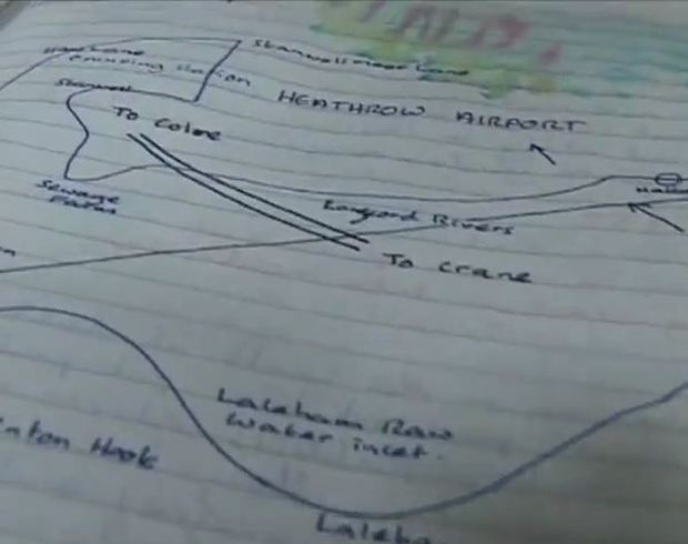 The London Perambulator (John Rogers 2009)  More (Barbet Schroeder 1969) 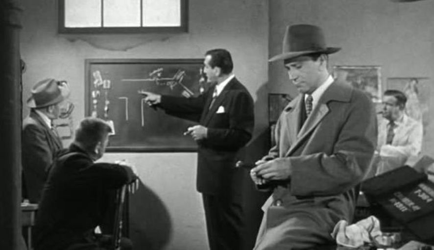 New York Confidential (Russell Rouse 1955)  Our Daily Bread (King Vidor 1934)  Sleepy Hollow (Tim Burton 1999) 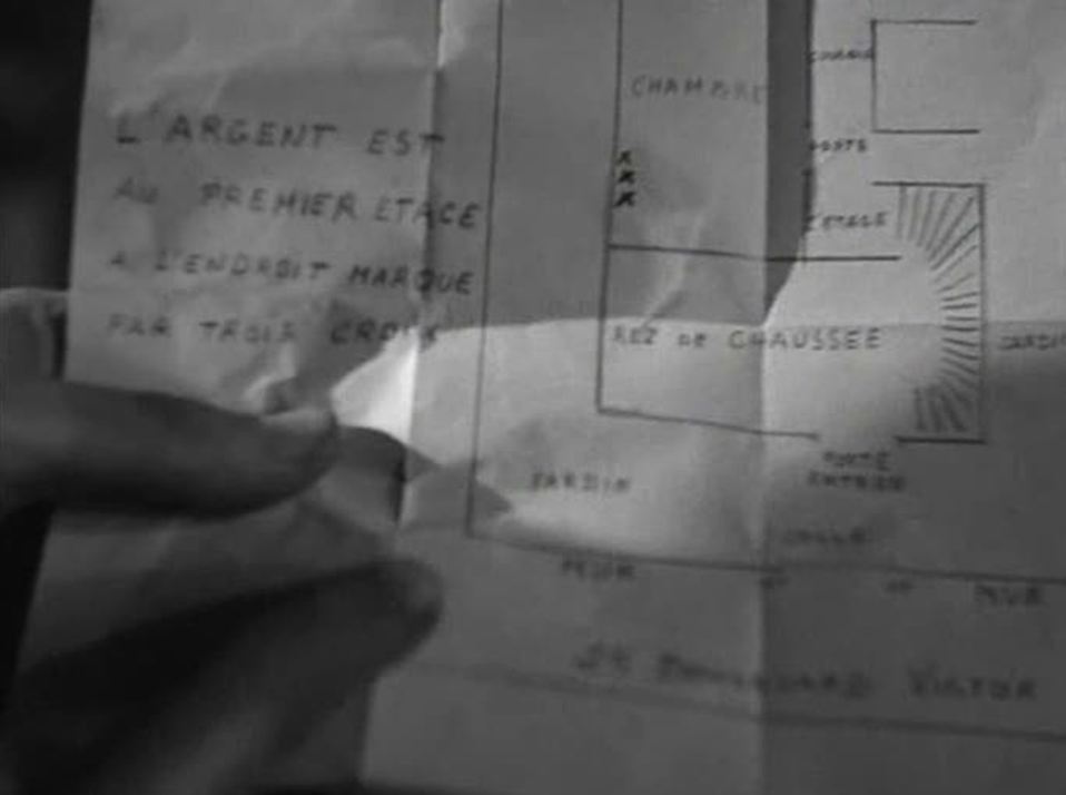 La Tête d’un homme (Julien Duvivier 1933) 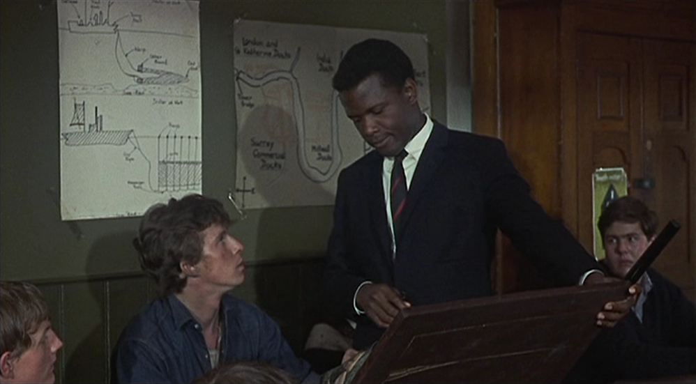 To Sir With Love (James Clavell 1967)  Le Trou (Jacques Becker 1960) 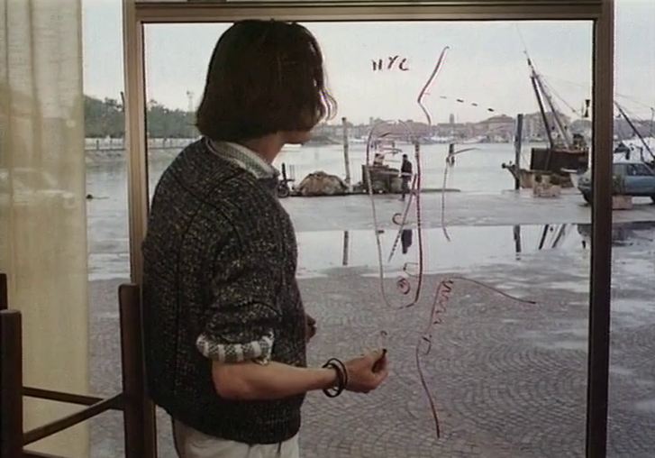 La Vallée fantôme (Alain Tanner 1987)  Les Vampires: Les Yeux qui fascinent (Louis Feuillade 1914)  Baier's road movie goes from Lausanne to Warsaw, a journey imagined by the protagonist firstly as a variant of Sutter's journey from Switzerland to California, as related by Cendrars in his novel L'Or: 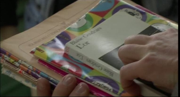 He imagines the landscape of Sutter's destination as he sits in a meeting beside a map, and then superimposes the flag of Poland onto that landscape: 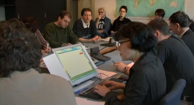 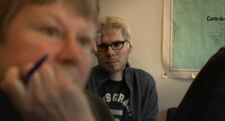 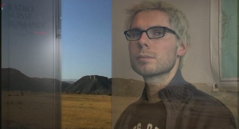 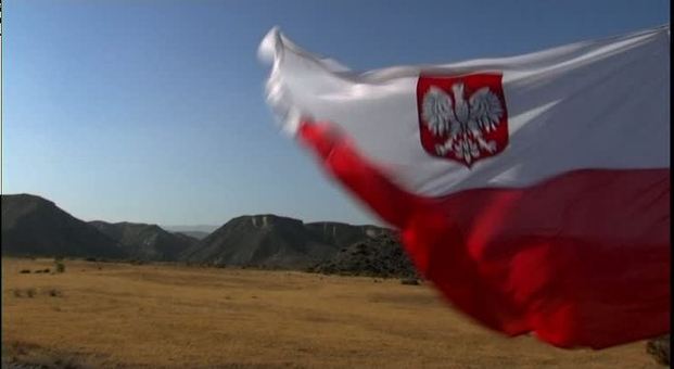 His preparations for the journey include buying histories of and guides to Poland, and a friend's gift of a copy of Cendrars's novel in Polish: 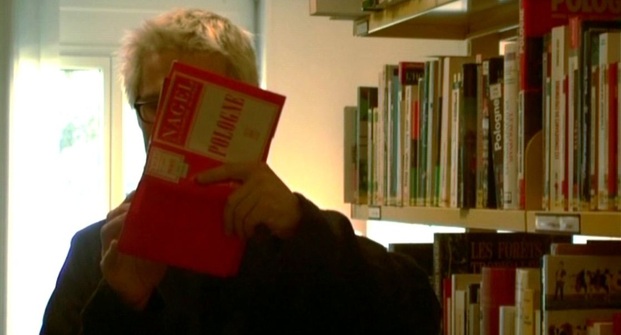 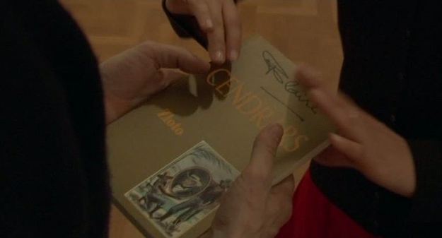 At the end of the film we are shown that In the margins of this copy he has made personal notes, and drawn onto a blank page a map of his journey: 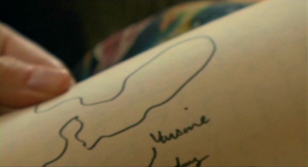 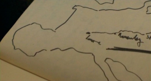 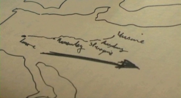  When, as here, the map-en-abîme is a map made in the film, there is a strong identification with filmmaking itself as a cartographic activity. A pre-existing map, either scrutinised by characters or simply positioned within their framing décor, argues rather for an identification between character and spectator, for both of whom maps are a part of their real world. Here is the first of the three other places with maps in Du rififi chez les hommes:  A place-centred reading might use this map of France to bring out the film's thematics of national identity, with the regional Frenchness of the protagonist -Tony 'le Stéphanois' (i.e. he is from Saint Etienne) - set against a variety of names denoting foreignness: Le Suédois, Ferrati, Grutter, Teddy le Levantin, even the English jeweller's Mappin & Webb (which the anglophone in me cannot help but here as 'mapping' and 'web'). In the second place with maps they are familiar street furniture, positioned at the entrance to Port Royal station, and there is a further map on the platform. This is the ligne de Sceaux, which would later become part of the RER: 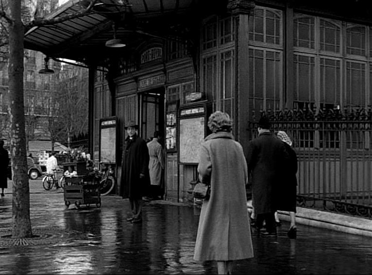 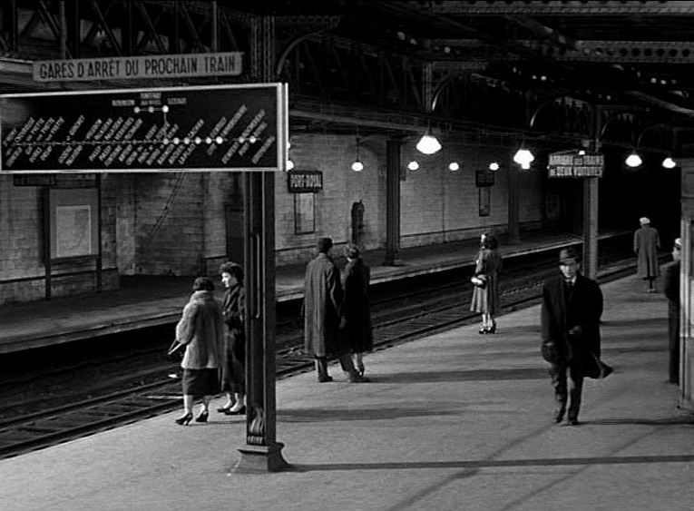 The protagonist has no need to consult these maps, knowing exactly the direction to be taken by the person he is following. The last maps in the film are at the entrance to La Chapelle station, on Ligne 2 of the métro (part of the elevated section to the north): 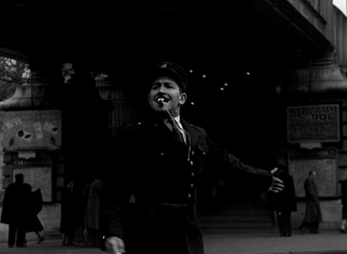 These maps are passed in the course of Tony's breakneck car journey backto Paris, and hardly attract our attention, given the intensity of this climactic sequence.
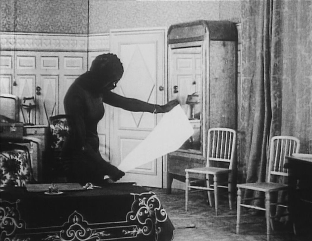
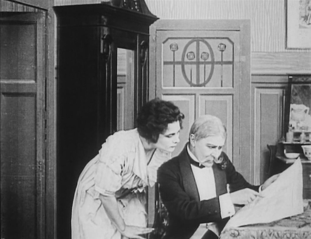
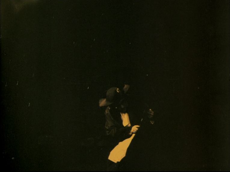 A plan to rescue Marie Antoinette from the guillotine involves tunnelling from a house on the rue de la Corderie into the Tour du Temple. This is an early example of a map scrutinised in detail (see here for others). The map itself, hand drawn, is relatively correct as regards layout and nomenclature (see, at the end of this post, the corresponding segment from a 1797 map). 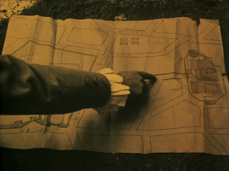 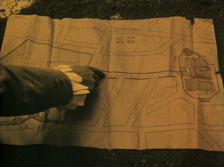 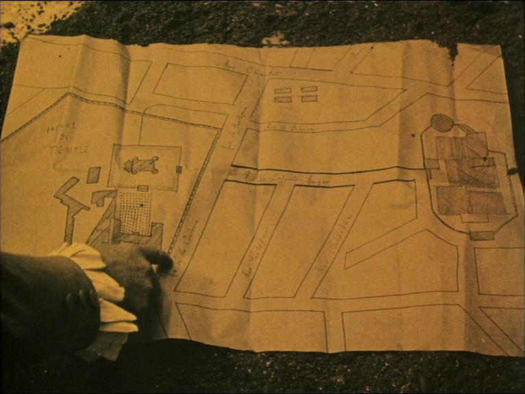 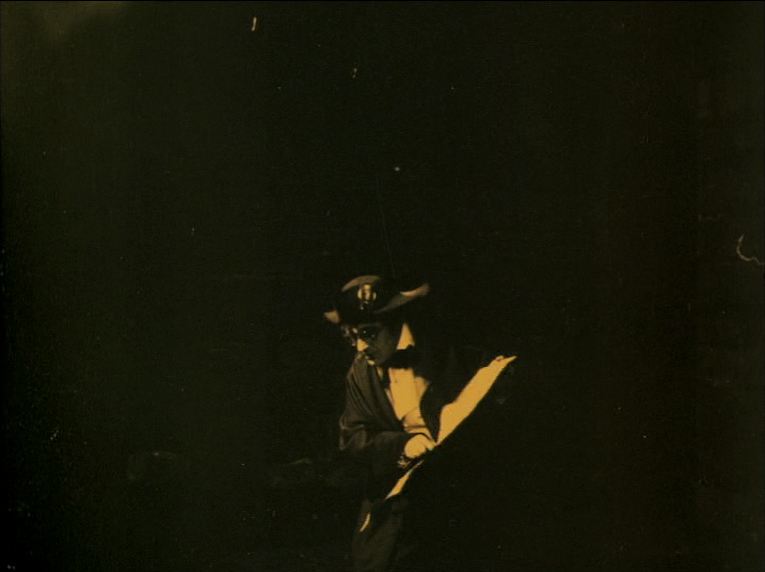 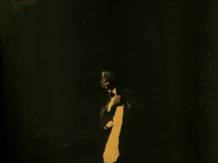 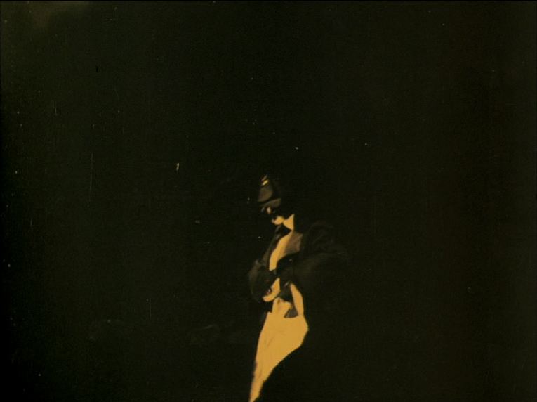 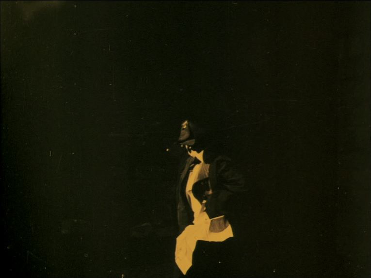 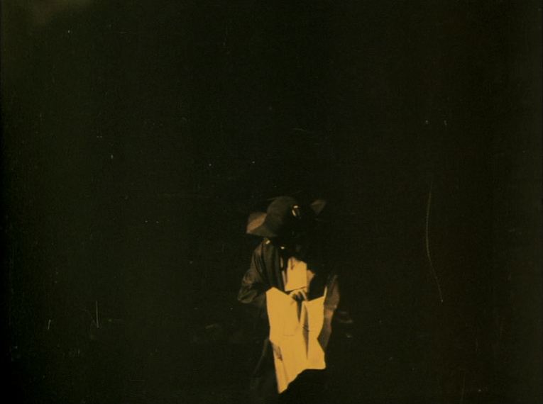 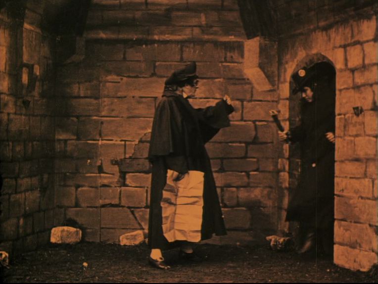 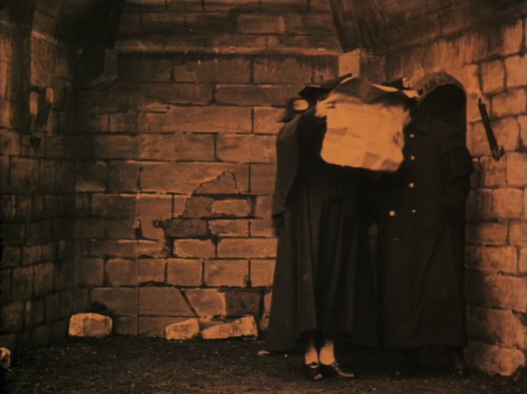 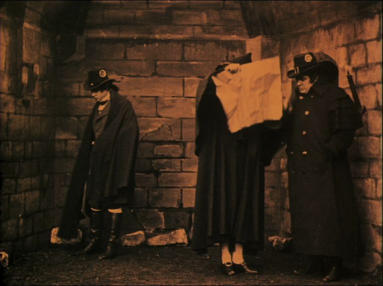 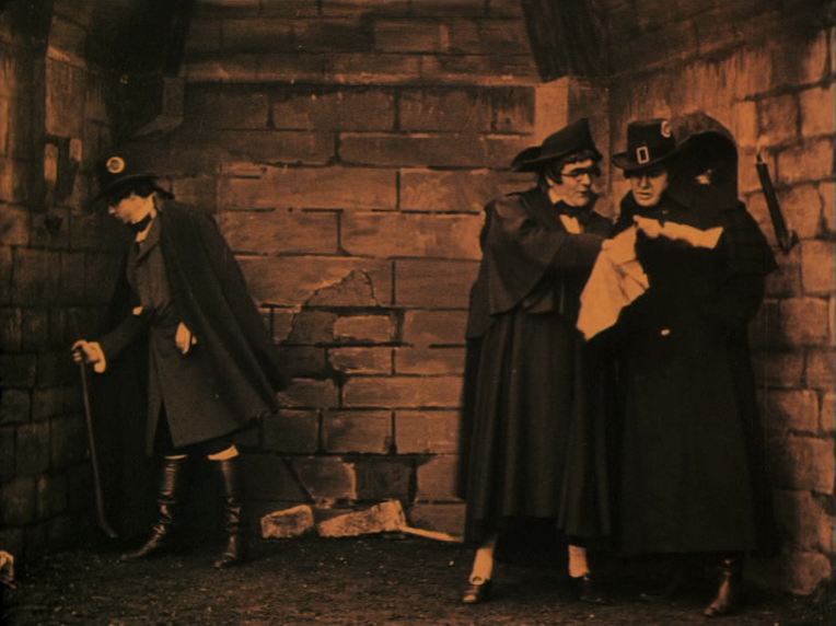 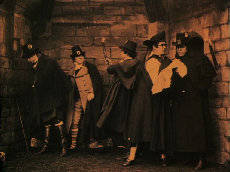 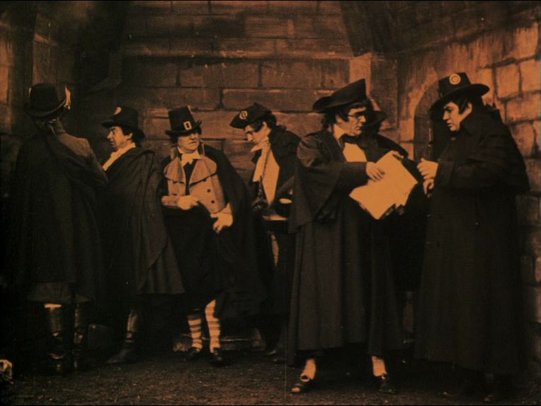 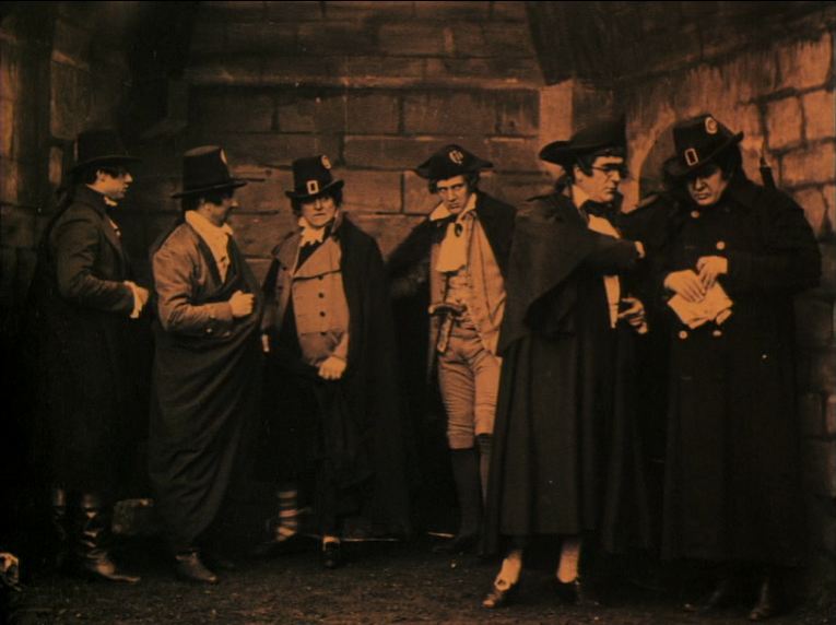 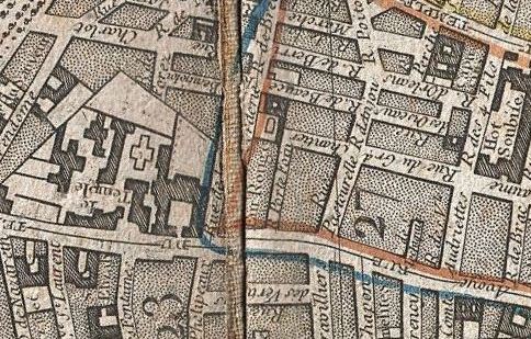 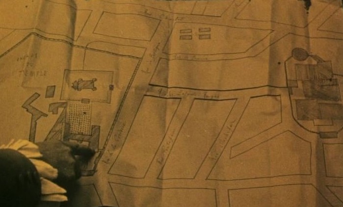  ‘“It’s only the first time that interests me”, says Alex in Boy Meets Girl. Under a Chinese image of a nursery rhyme, he has hung a mythical map of Paris, marked with his first theft, first encounter, first kiss, first night, first murder. The hallucinatory shock, like being wakened by the telephone ringing, is precisely the loss of certainty, the impression of déjà vu, “like a memory of the present”.’ Youssef Ishaghpour, Cinéma contemporain: de ce côté du miroir (Paris: Editions de la Différence, 1986), p.249-50.   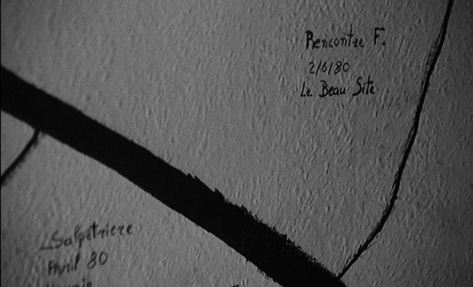 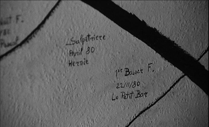 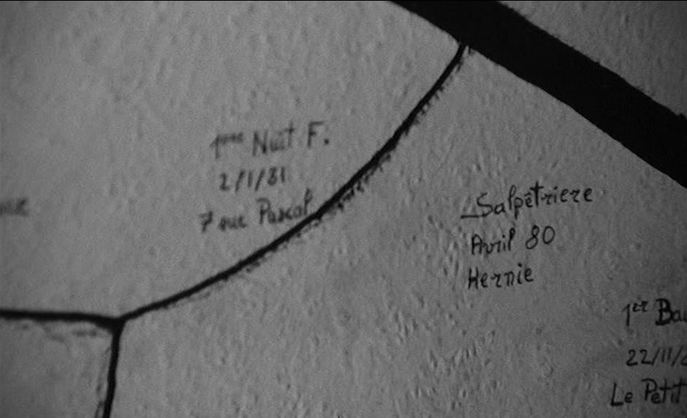 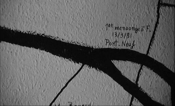 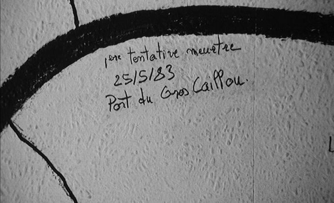 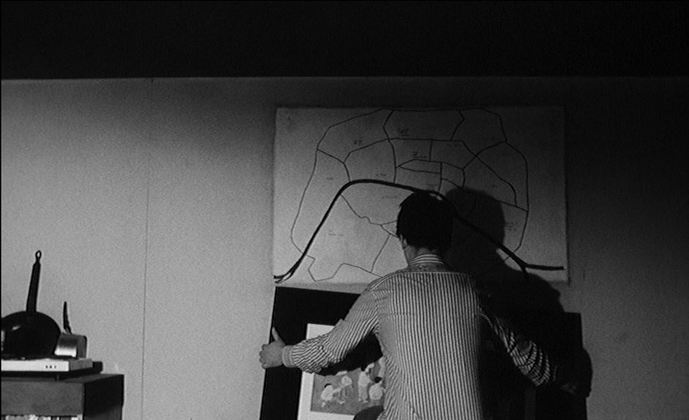 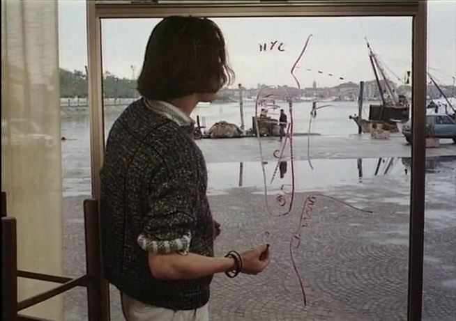 ‘Whereas visual space is almost exclusively solid or opaque, aural space is transparent. Interestingly, were we to reverse ideas of this relationship in terms of the visual and the aural in the cinema, we could even view film as a transparent map for its sound. Maps represent, and endeavour to embody the physical. They are successful if they become transparent; no longer objects themselves, rather they are the canvas on which the representation finds form.’
Greme Harper & Jonathan Rayner, ‘Introduction’, in Cinema and Landscape (Bristol: Intellect, 2010), p.19. |