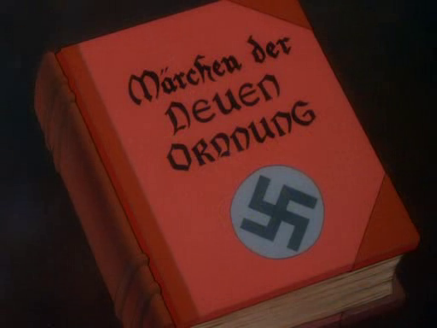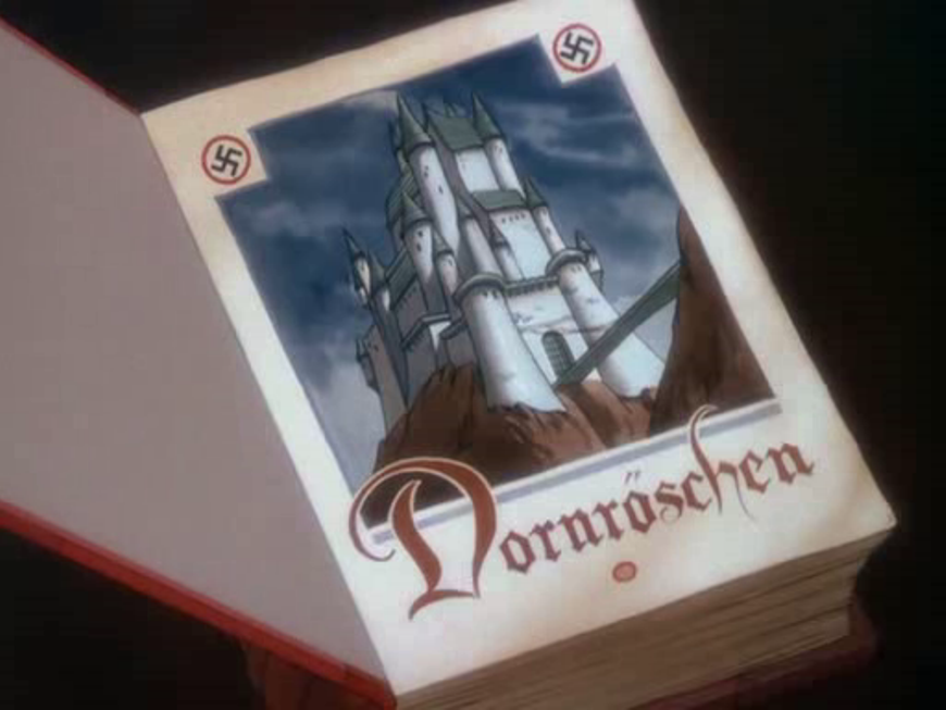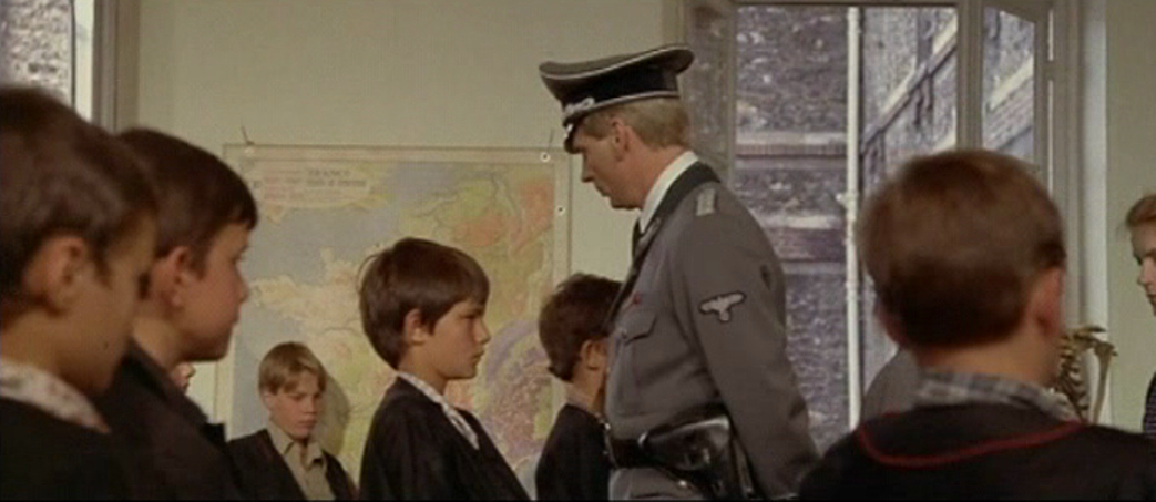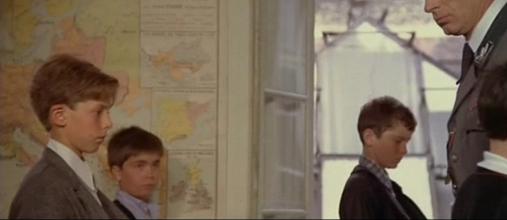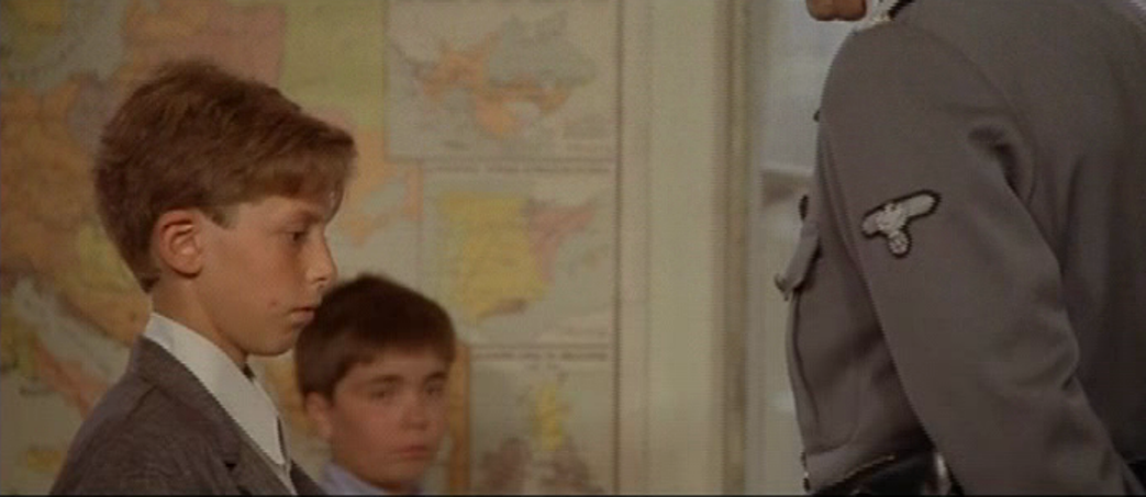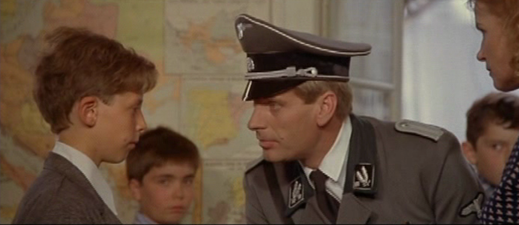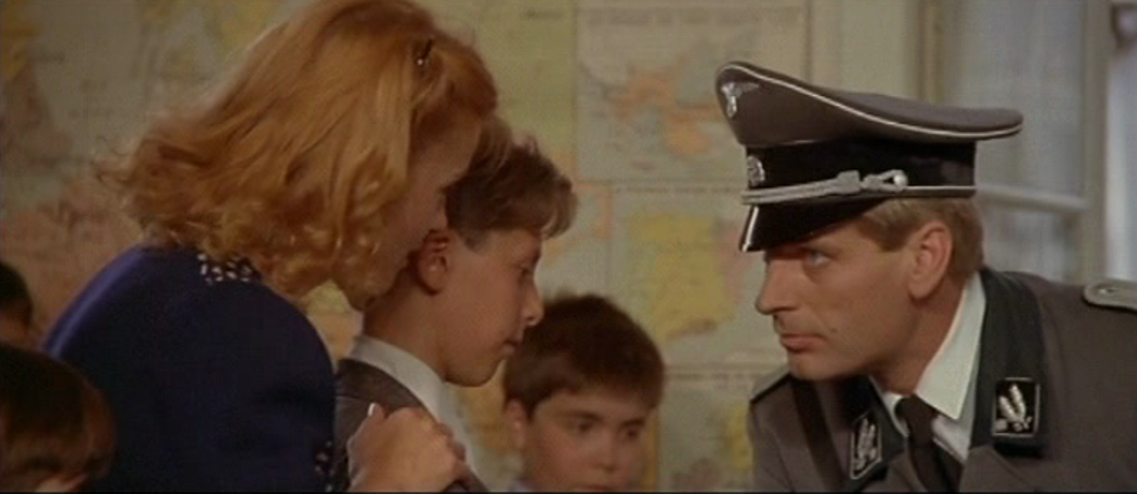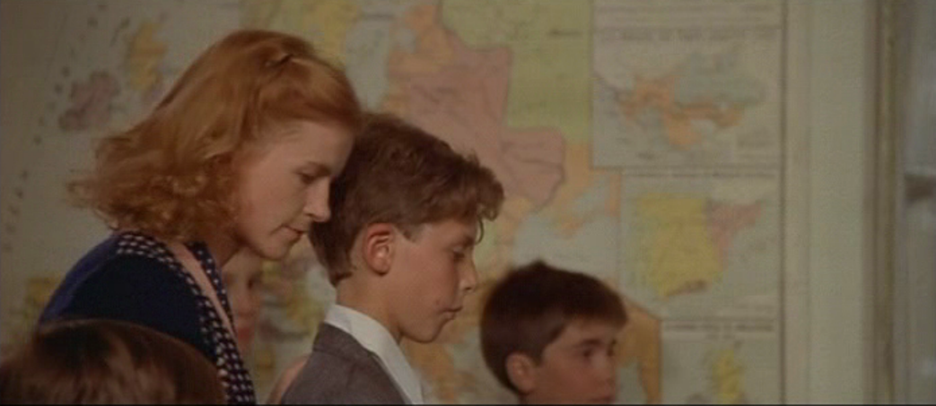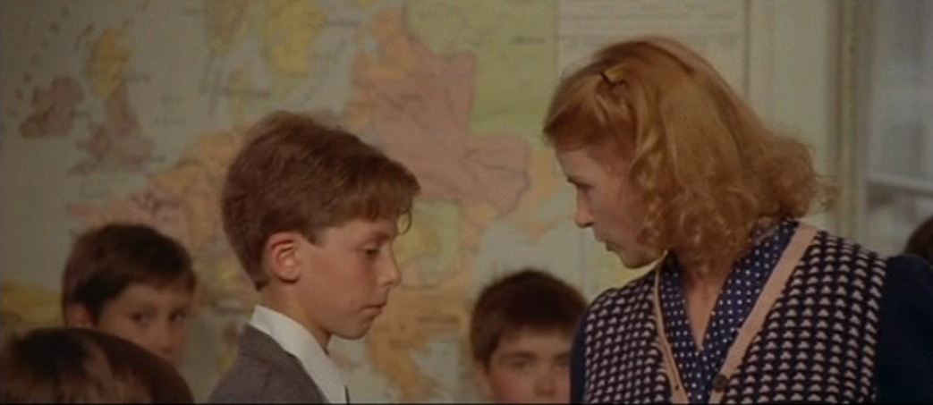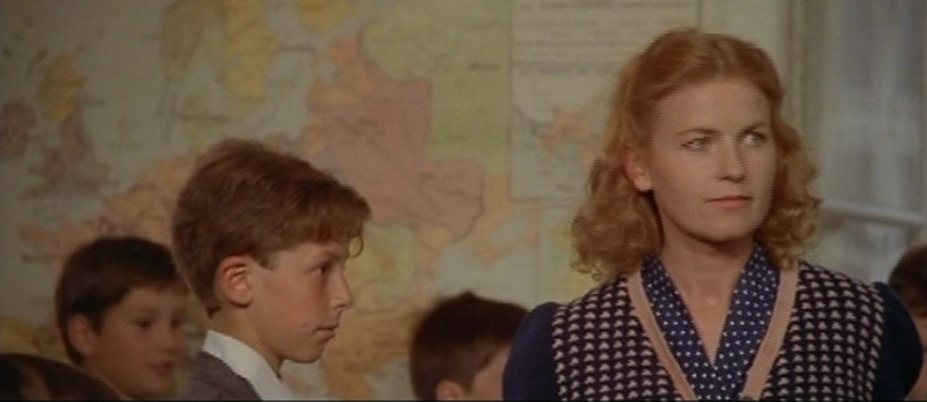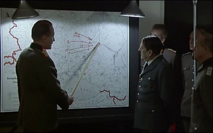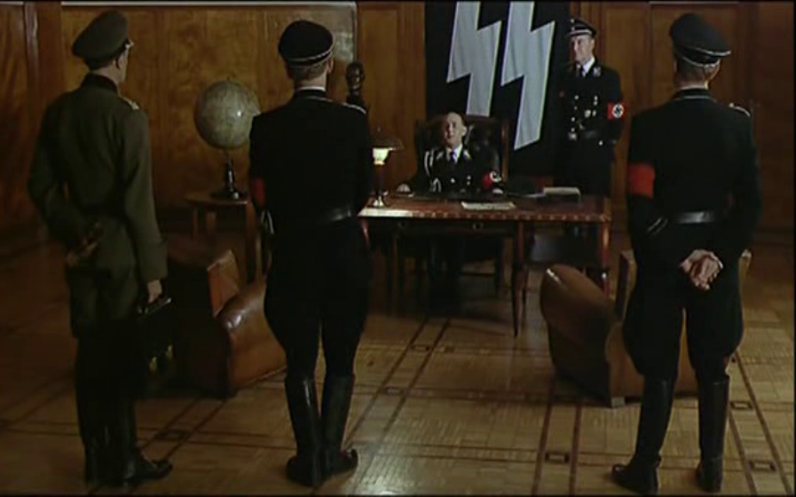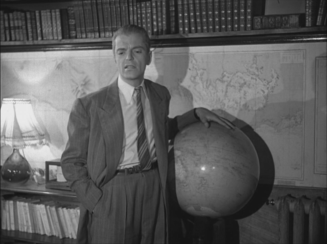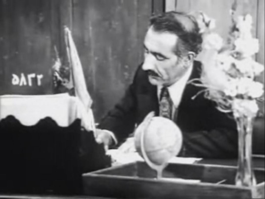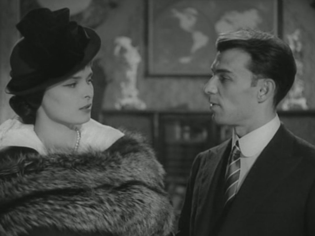
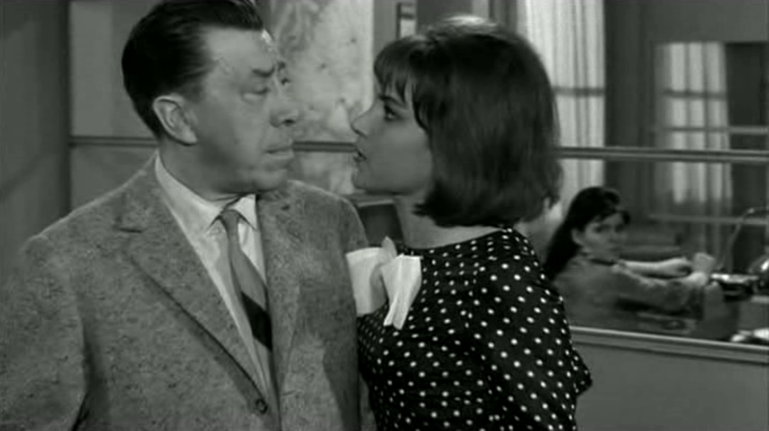
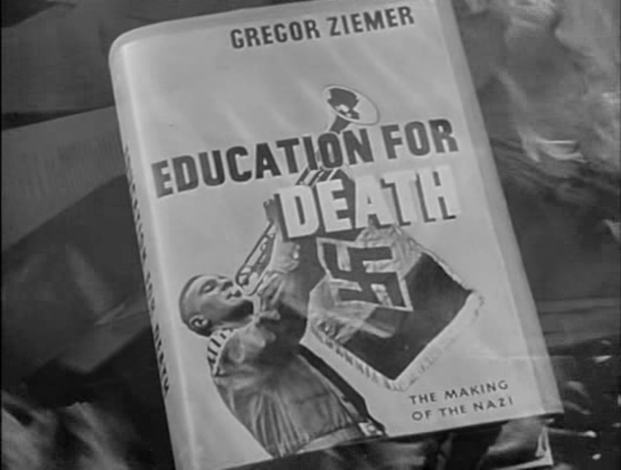
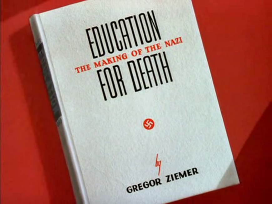
  Of the two 1943 films based on Gregor Ziemer's 1941 book, Edward Dmytryk's Hitler's Children has the more maps. An early vis-à-vis of a Nazi school and an American Colony school shows two different classes being taught through different maps: 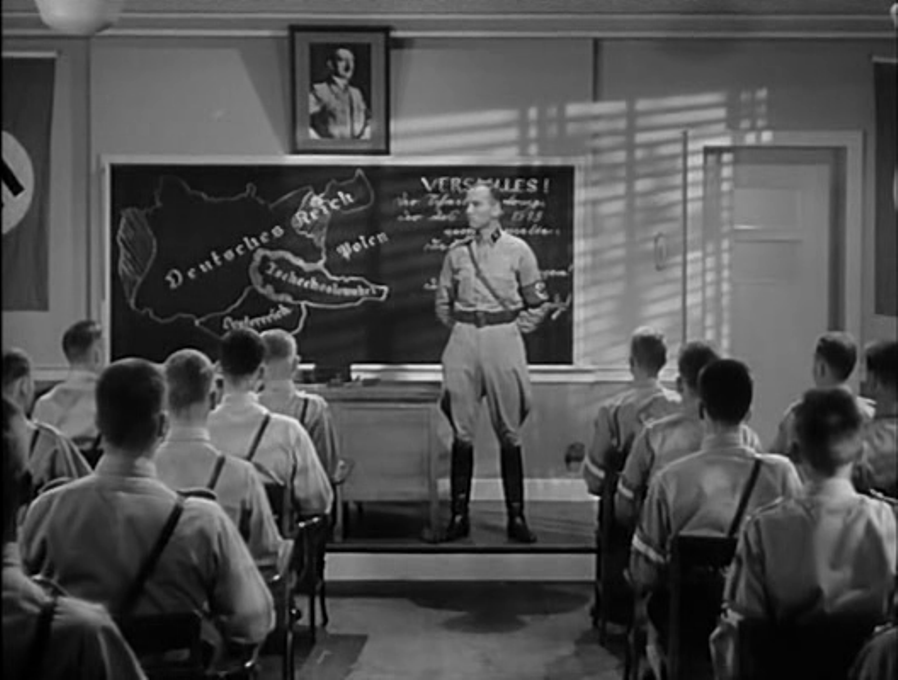 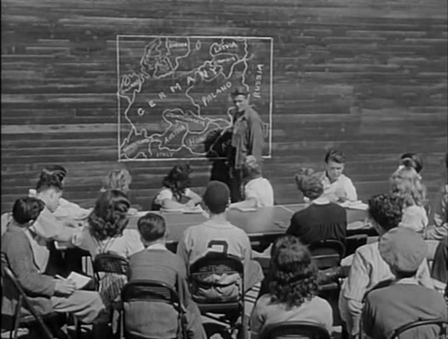 The film also has a wall map and two globes:  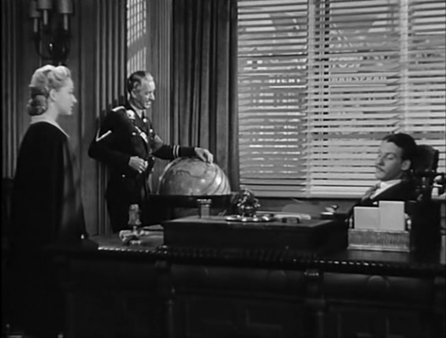 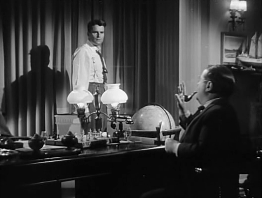 Clyde Geronimi's Walt Disney production Education for Death only has a globe:  Both films emphasise the authority of the book on which they are based. The Disney film is particularly focussed on the book as motif. The green book on the desk above, next to the globe, is Mein Kampf, seen earlier in a different edition: 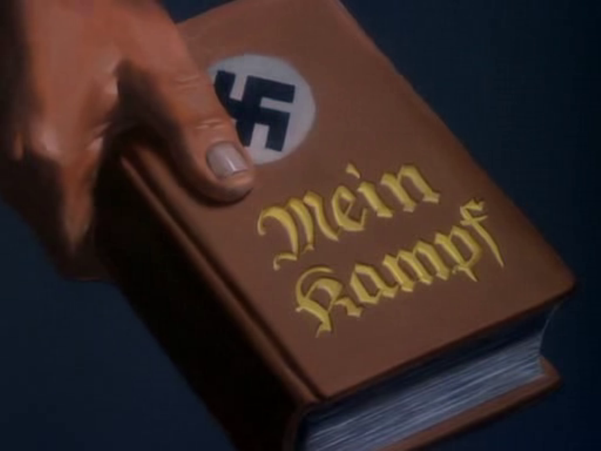 The red one may be meant to represent the book of 'New Order Fairy Tales' that had prompted the film's retelling of Sleeping Beauty:
The status of Mein Kampf as Nazi Bible is made explicit in a dissolve: And a central place is given to the burning of books: I assume that the 'Ma....' seen alongside Einstein, Spinoza and Voltaire is Marx. The key book moment in the narrative of Hitler's Children is when the American teacher reads to the American girl and Nazi boy from Goethe's Faust: 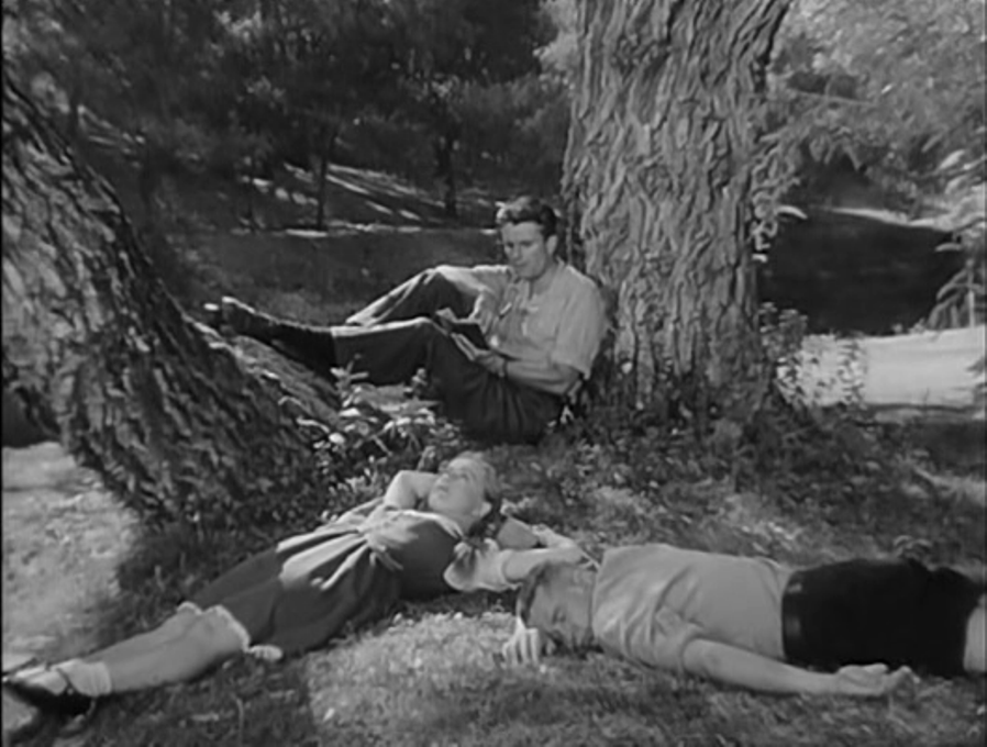
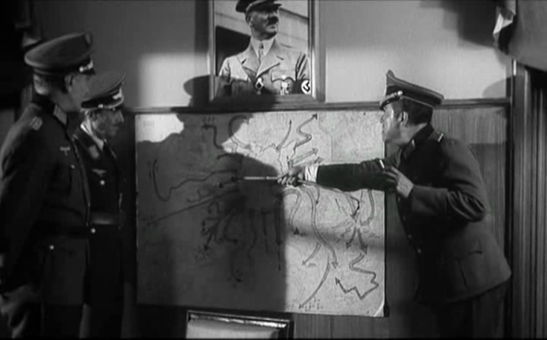
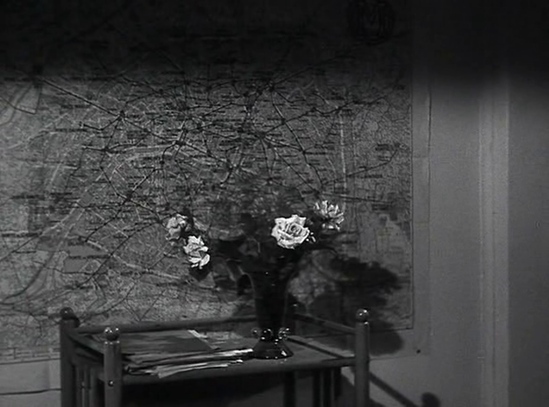
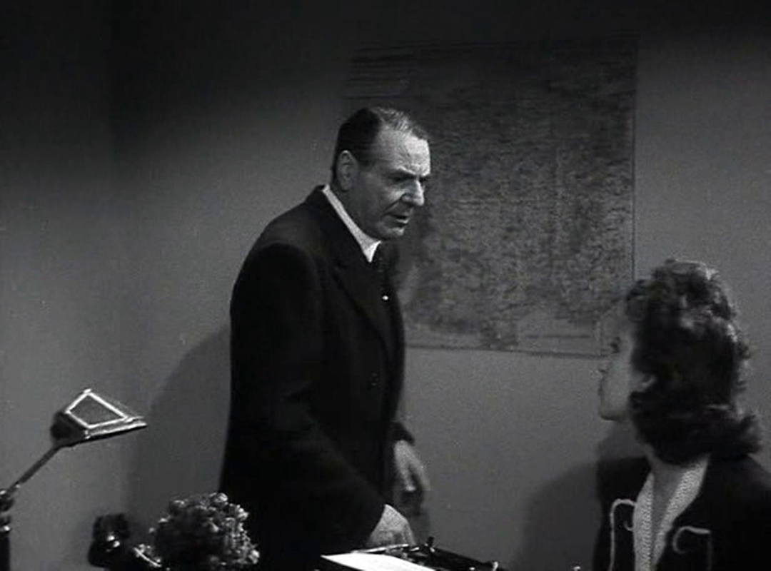
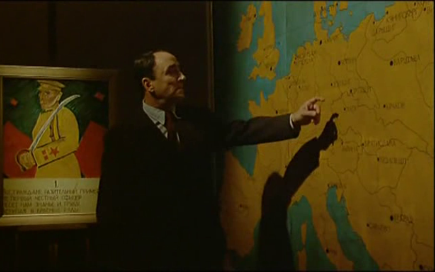
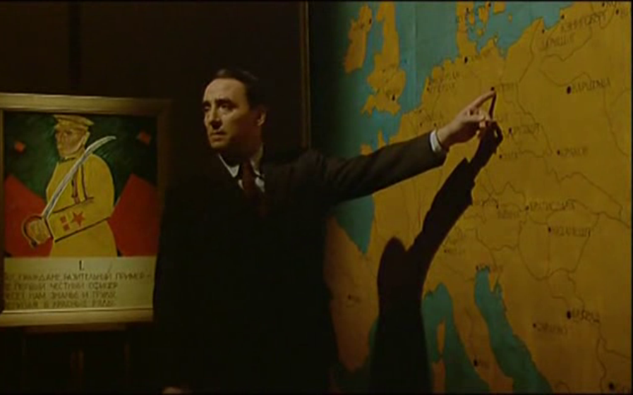
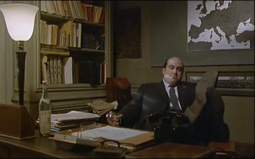
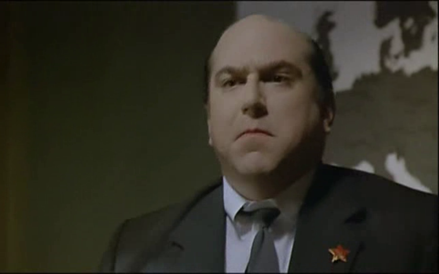
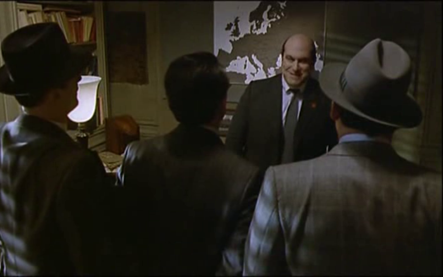
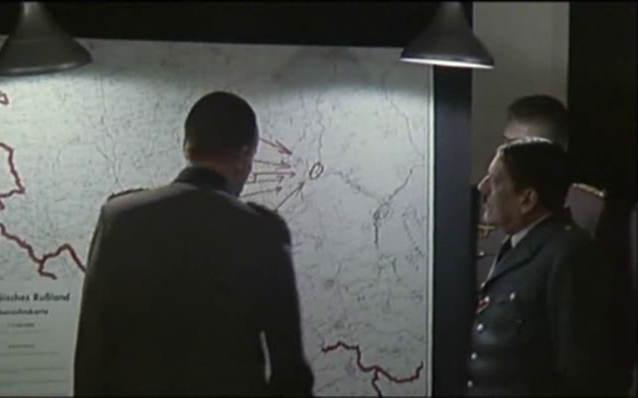
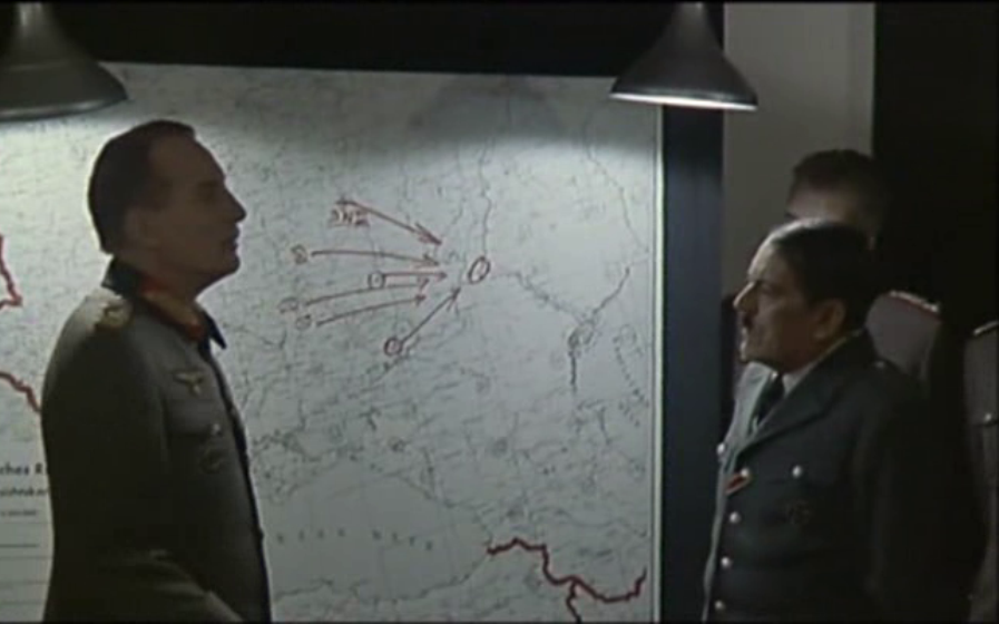
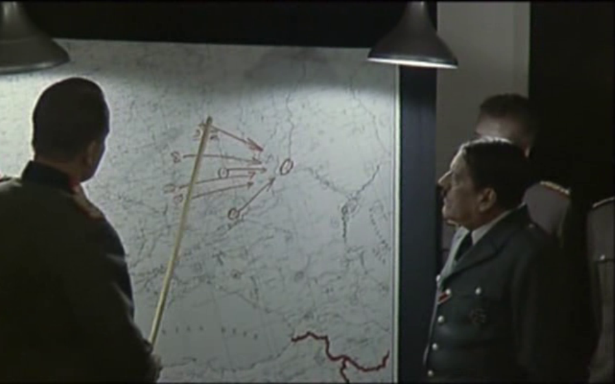
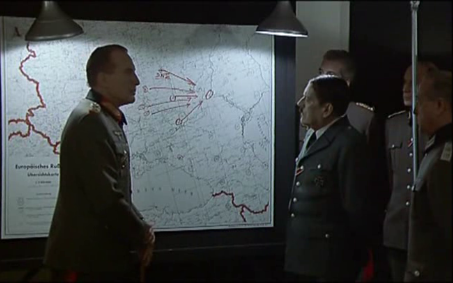
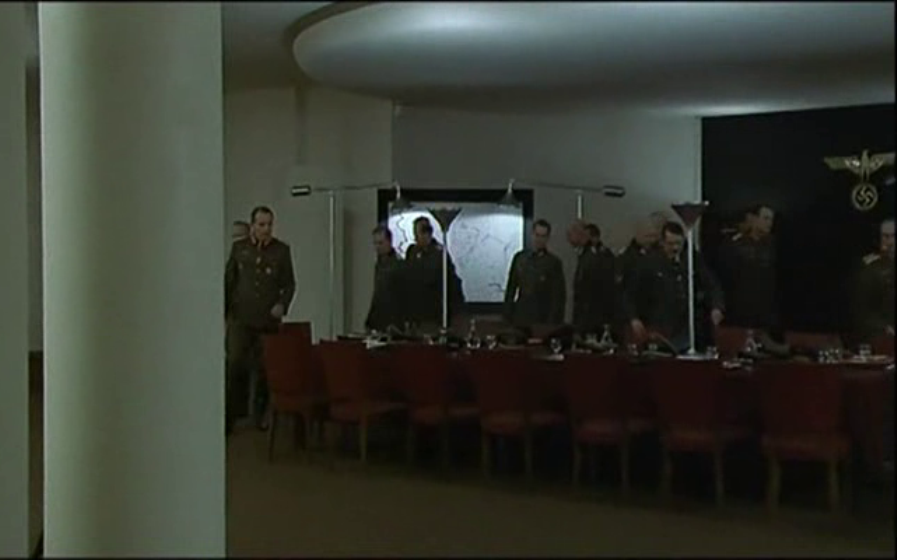
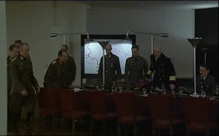
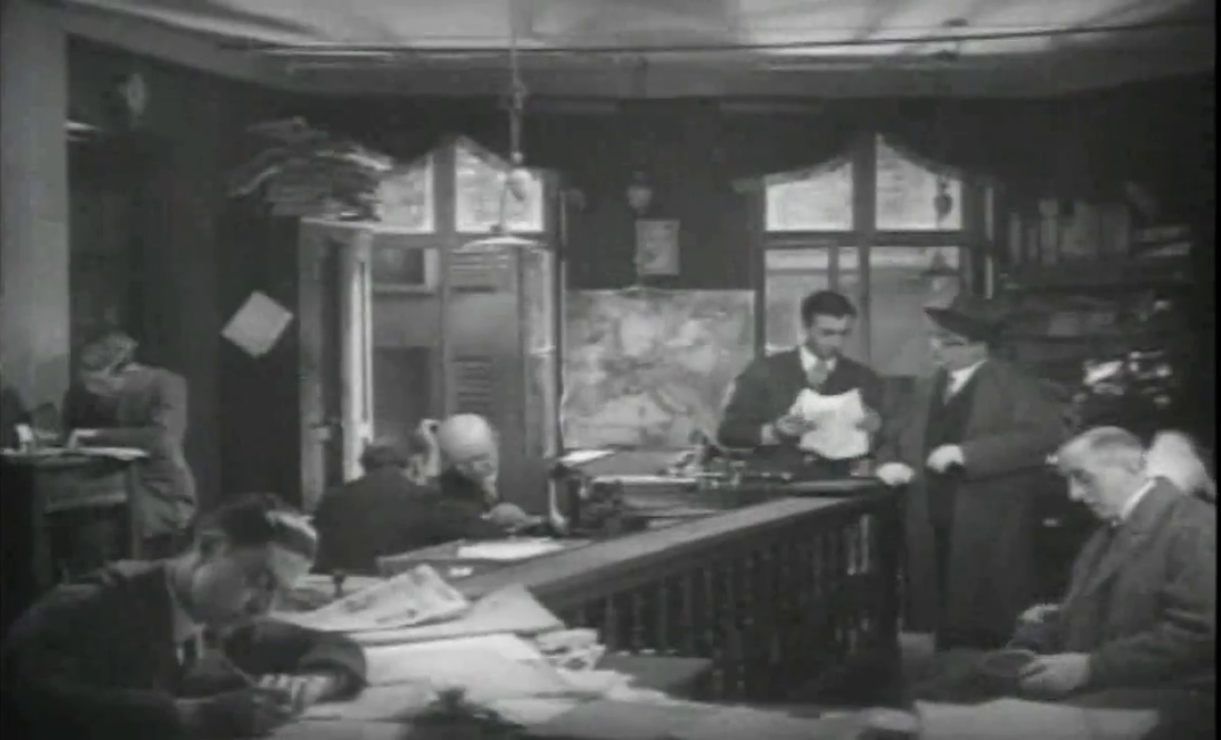
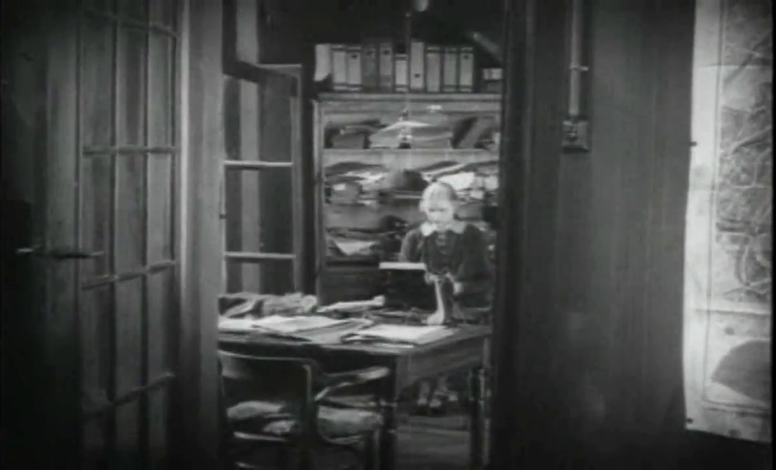
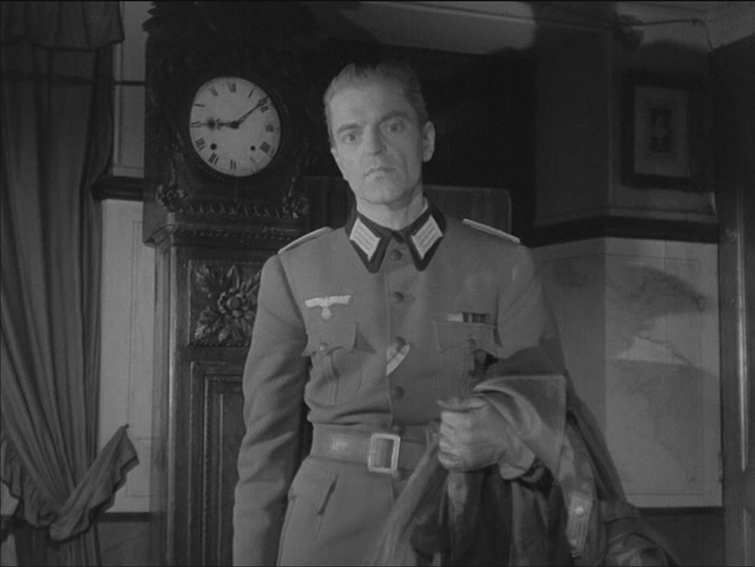
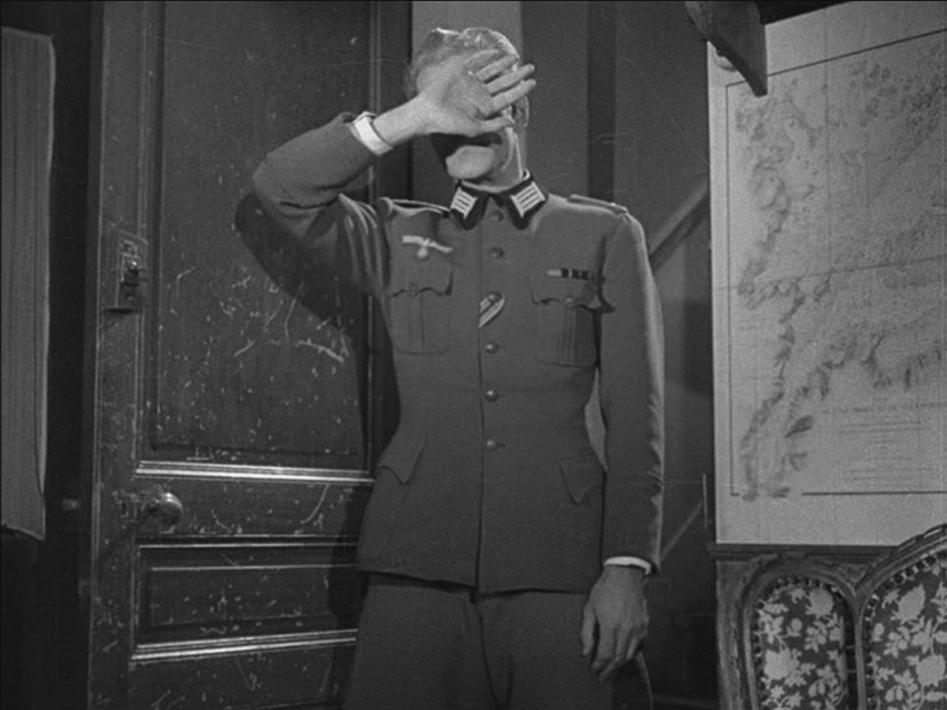
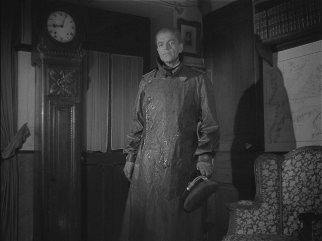
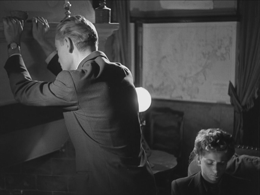
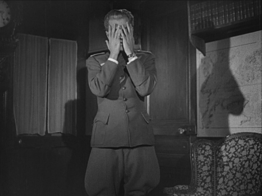
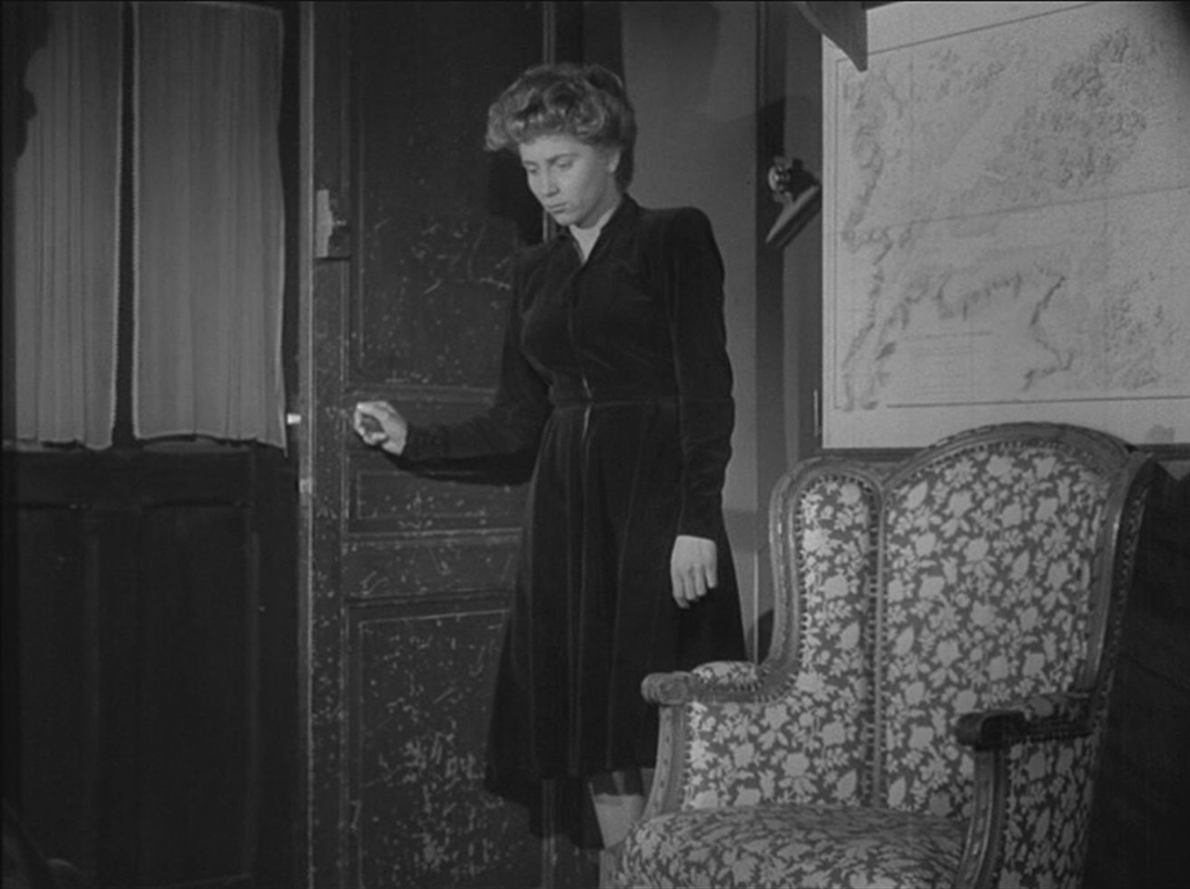
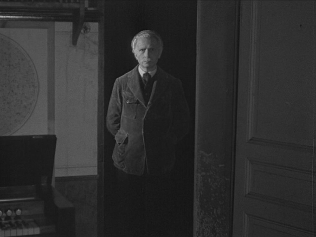
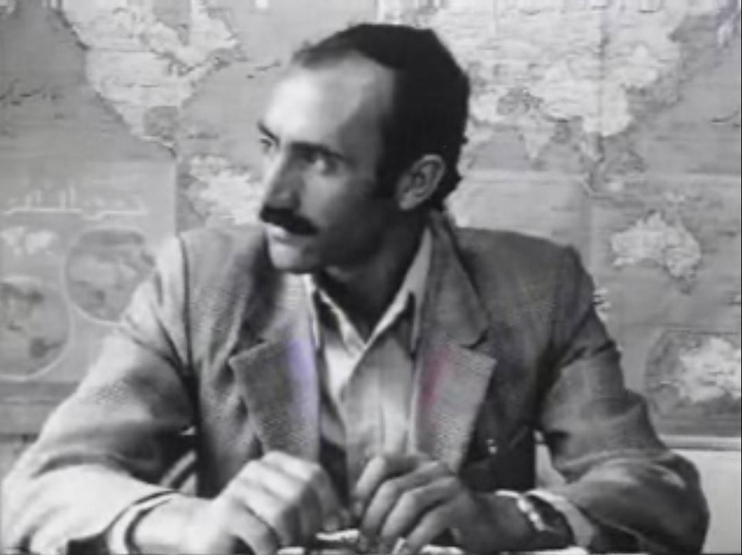
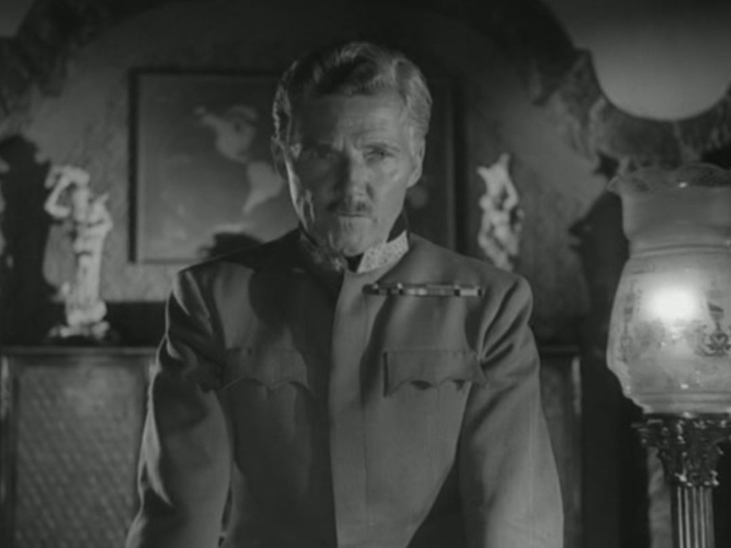
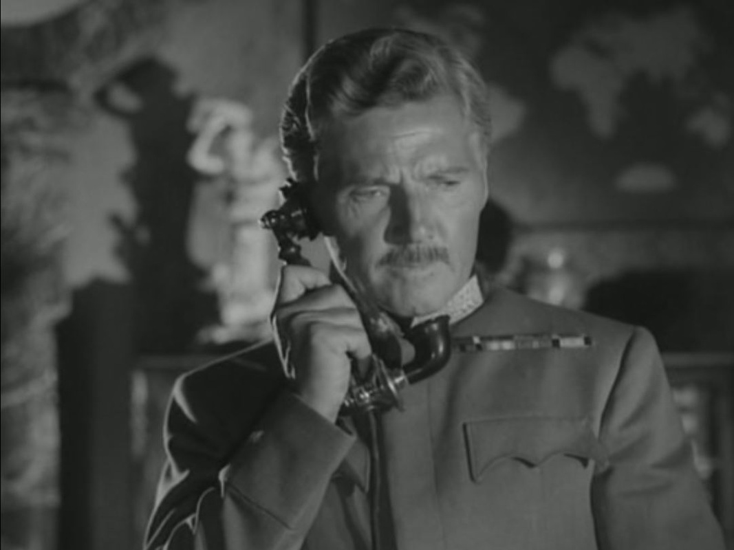
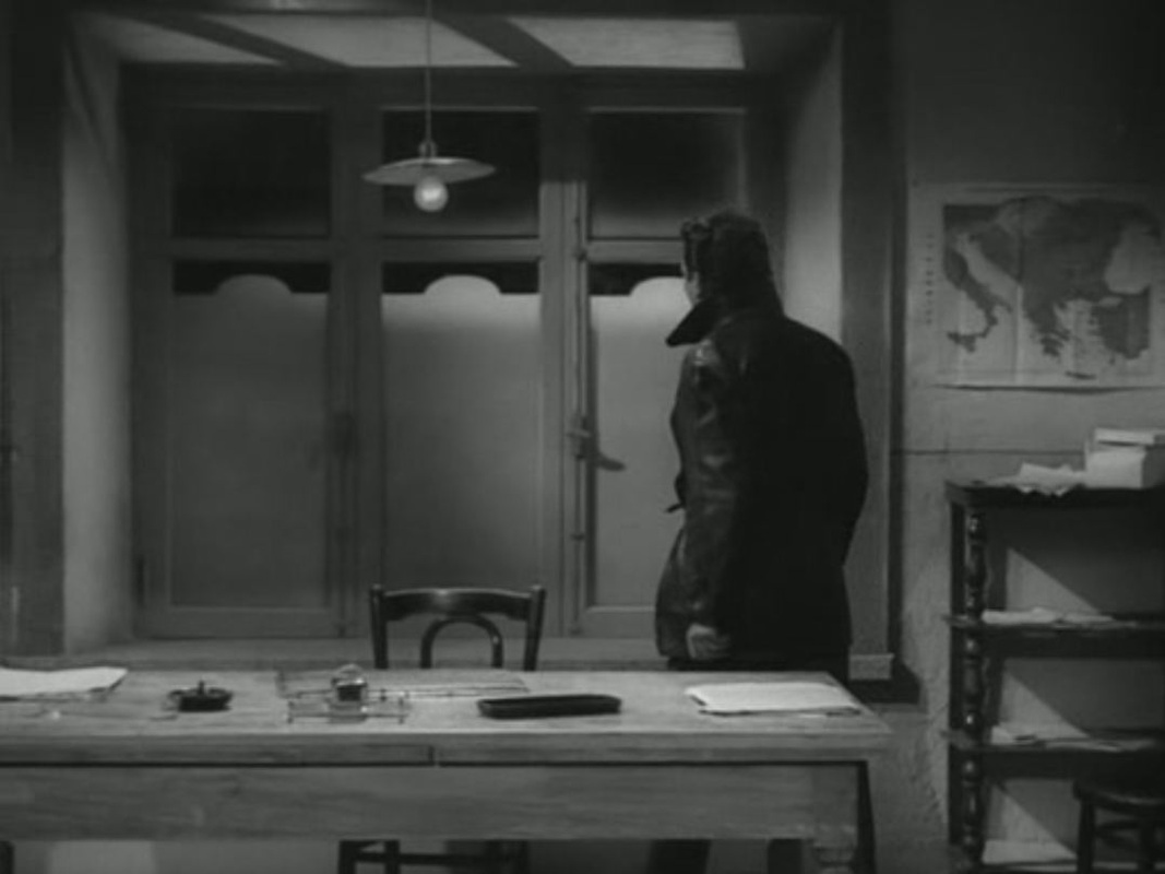
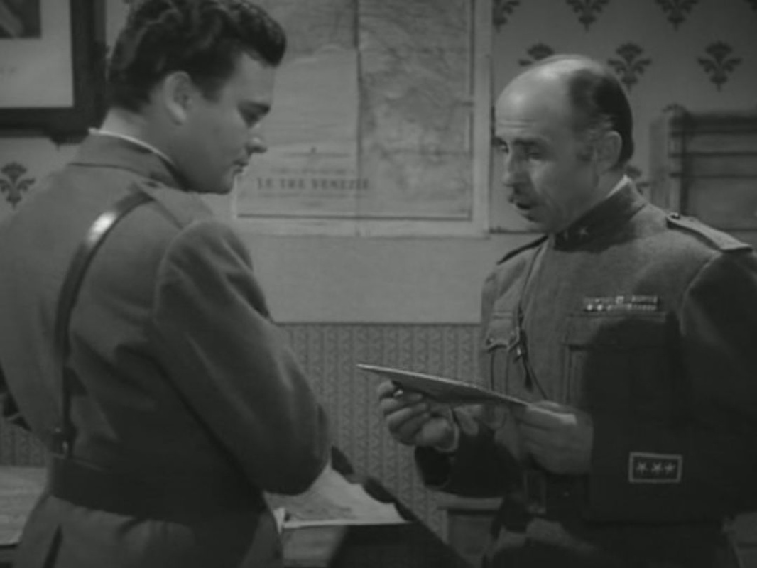
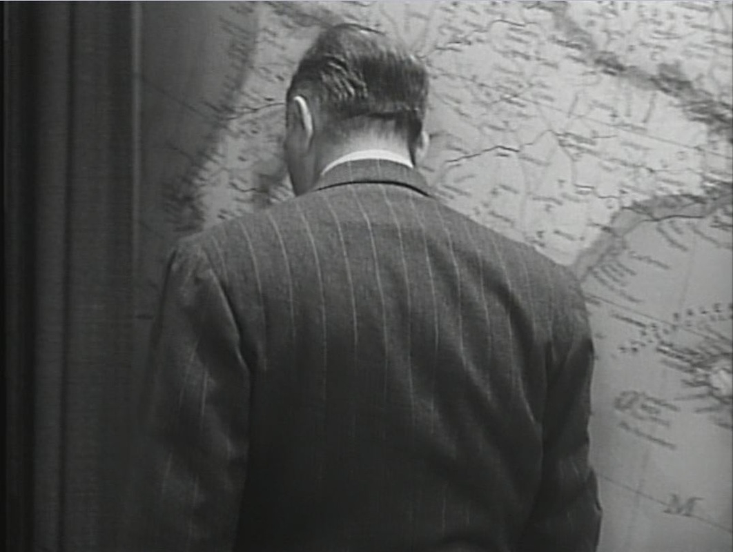
He adds: 'The same poet expressed it in a simple line: "And those who live for their faith shall behold it living".' I haven't found this attributed to Goethe anywhere, and it seems like it may be Schiller. Any suggestions here, please. 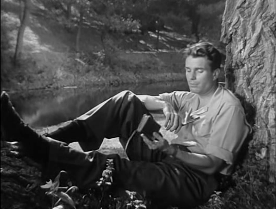 The burning of books is evoked by Hitler's Children in the opening prologue that leads to the film's title and credits. From a burning pile of books emerges Ziemer's Education for Death, spared from the flames but, through animation, marked with blood:  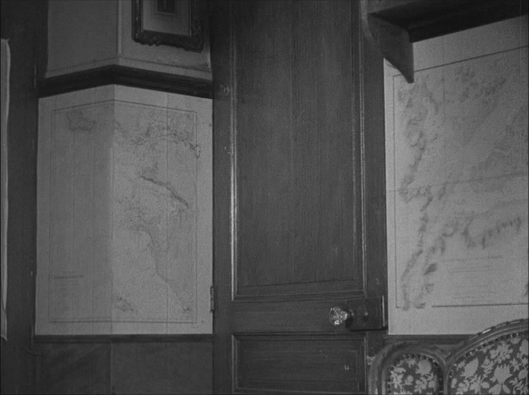 Most of the drama is played out in a single, map-lined room. The film was shot in the home of the author of the book from which it is adapted, and I assume these maps are his. They are used in the film as significant décor, often as a backdrop to the dramatic attitudes assumed by the German officer billeted in this French home:
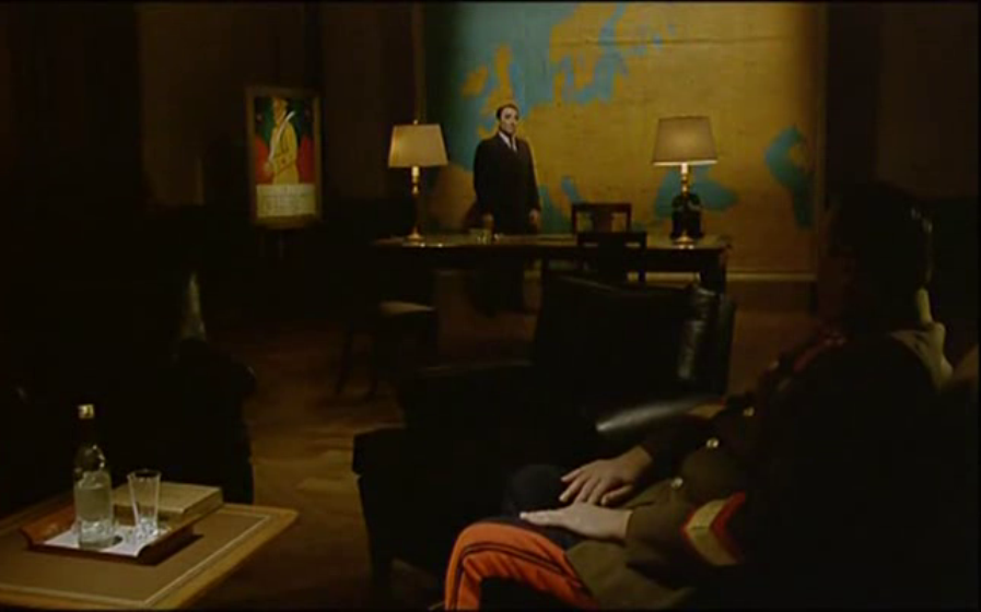
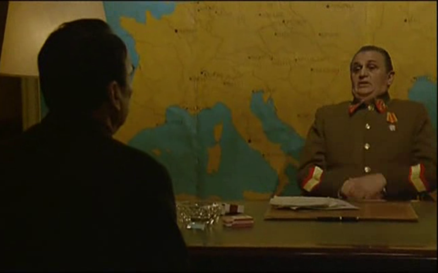
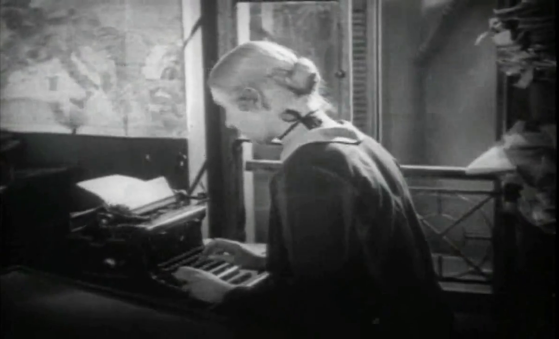
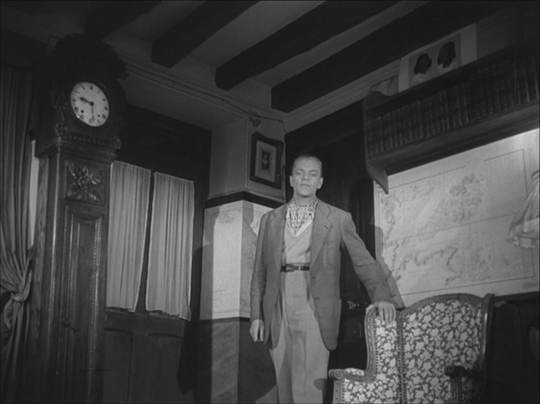
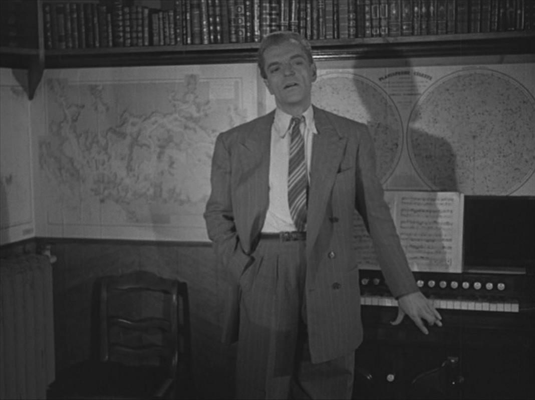
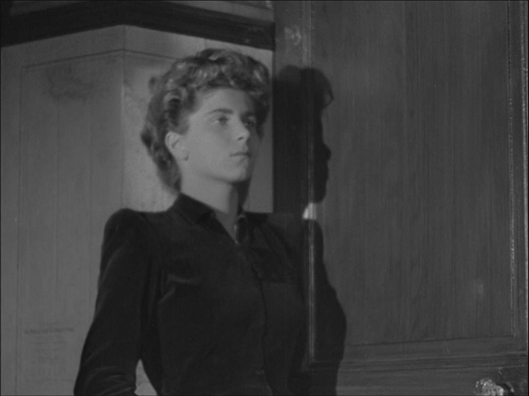
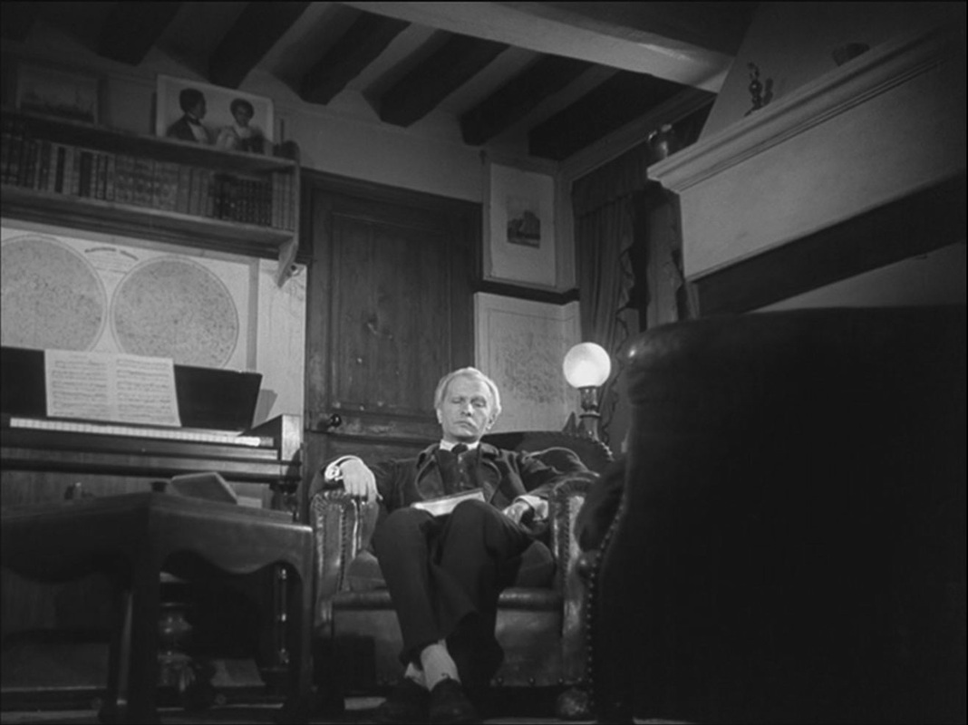
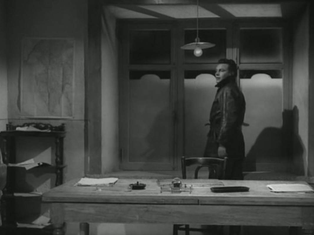
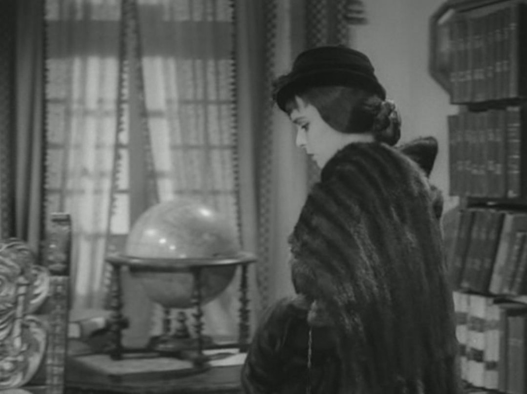
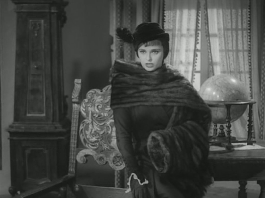
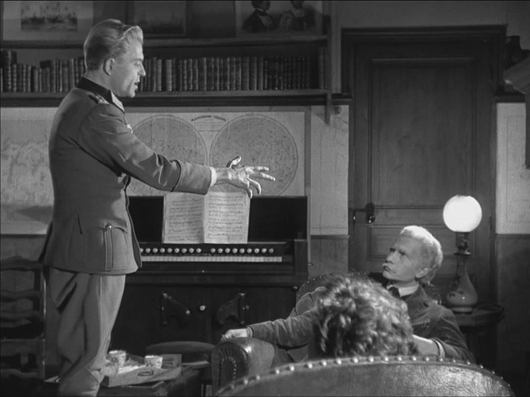 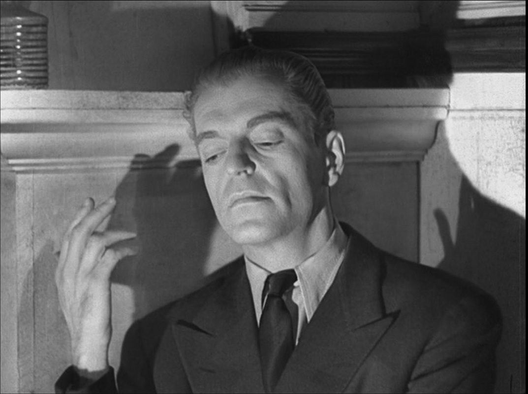 The maps also set off poses adopted by the old man and young woman who live in the house: 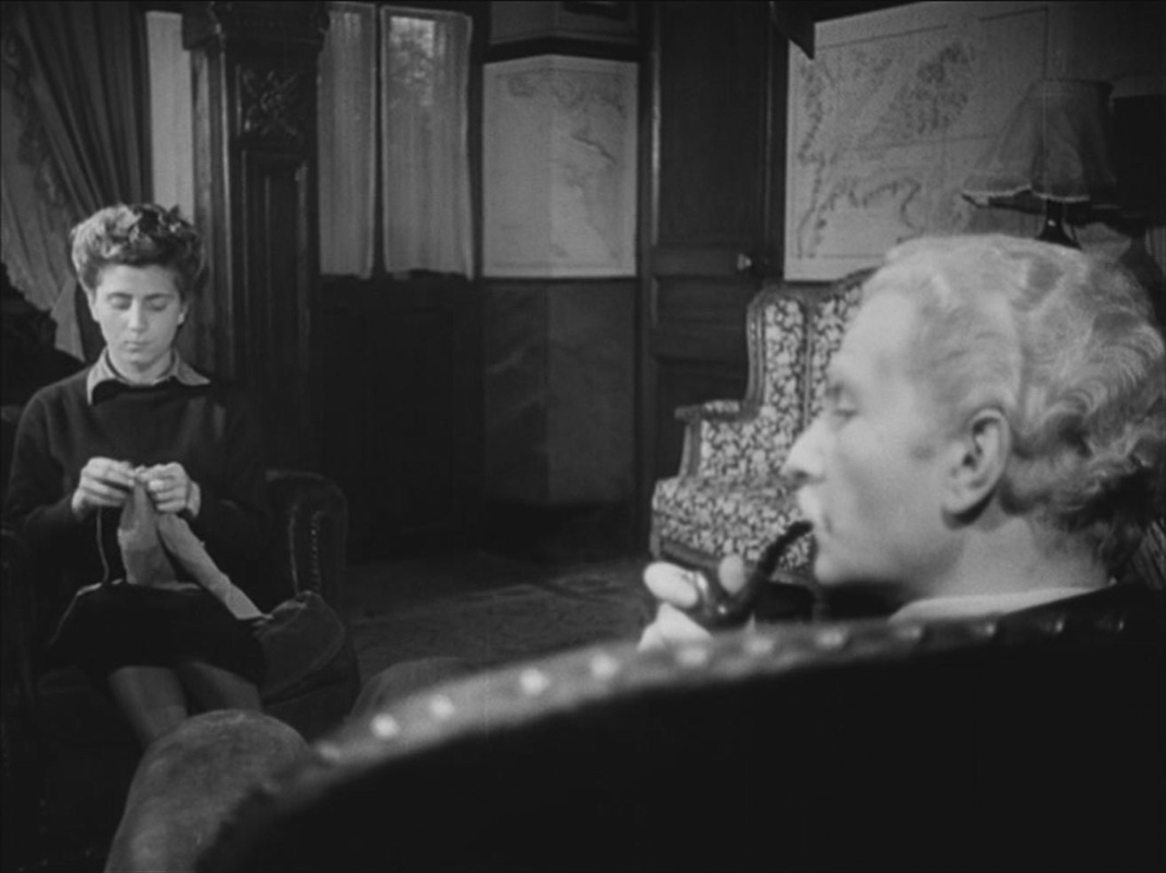
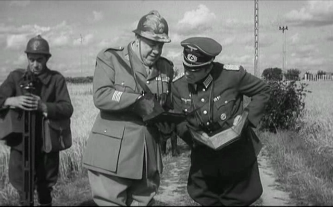
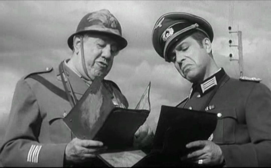
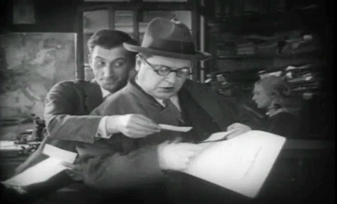
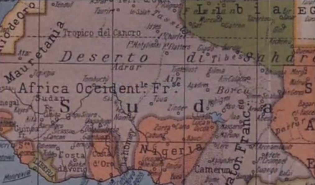
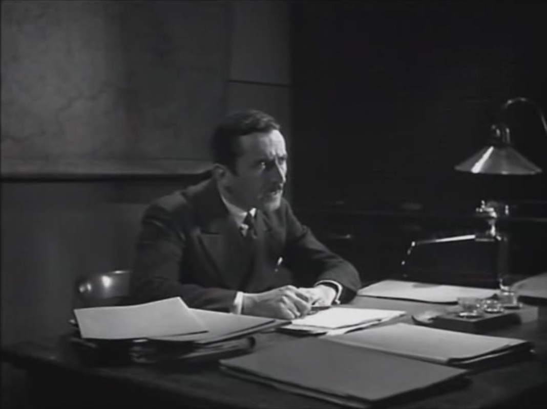
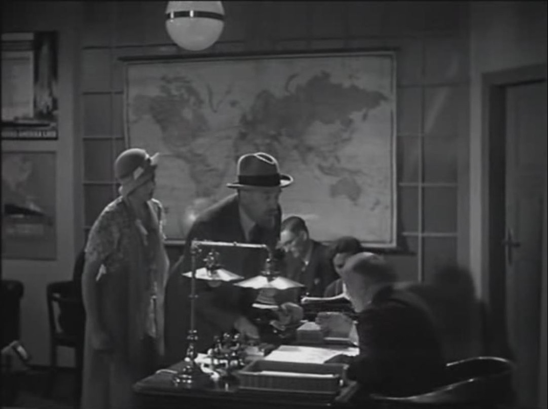
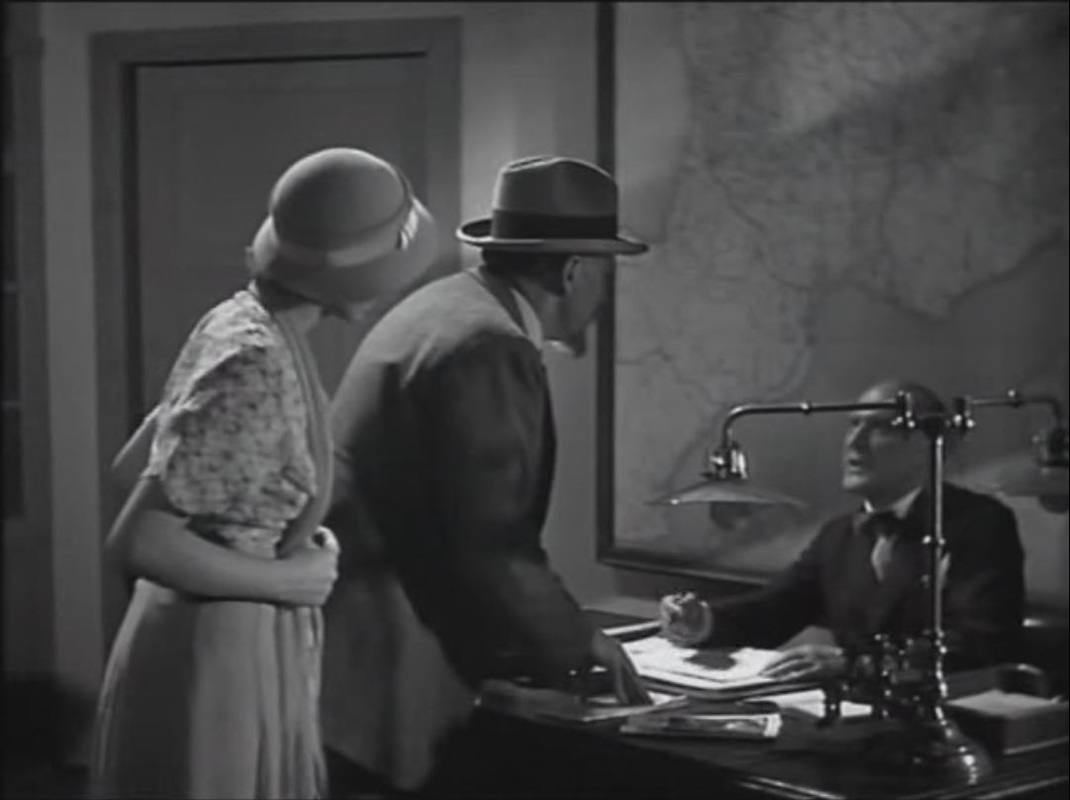
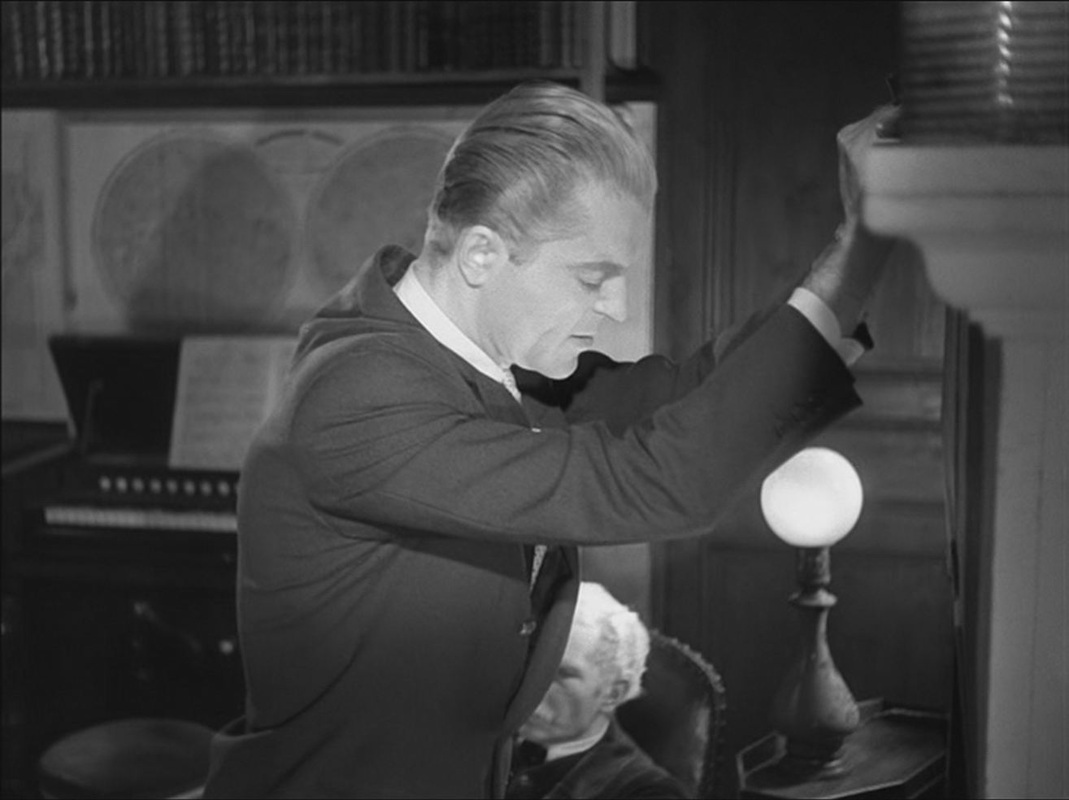
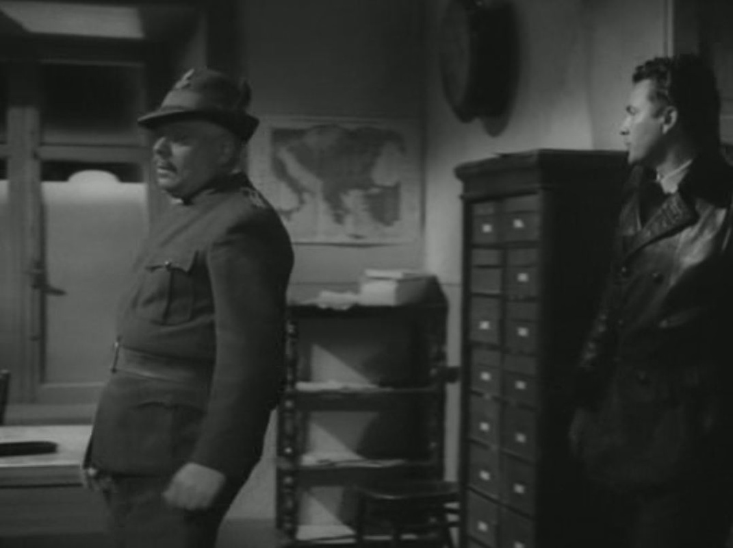
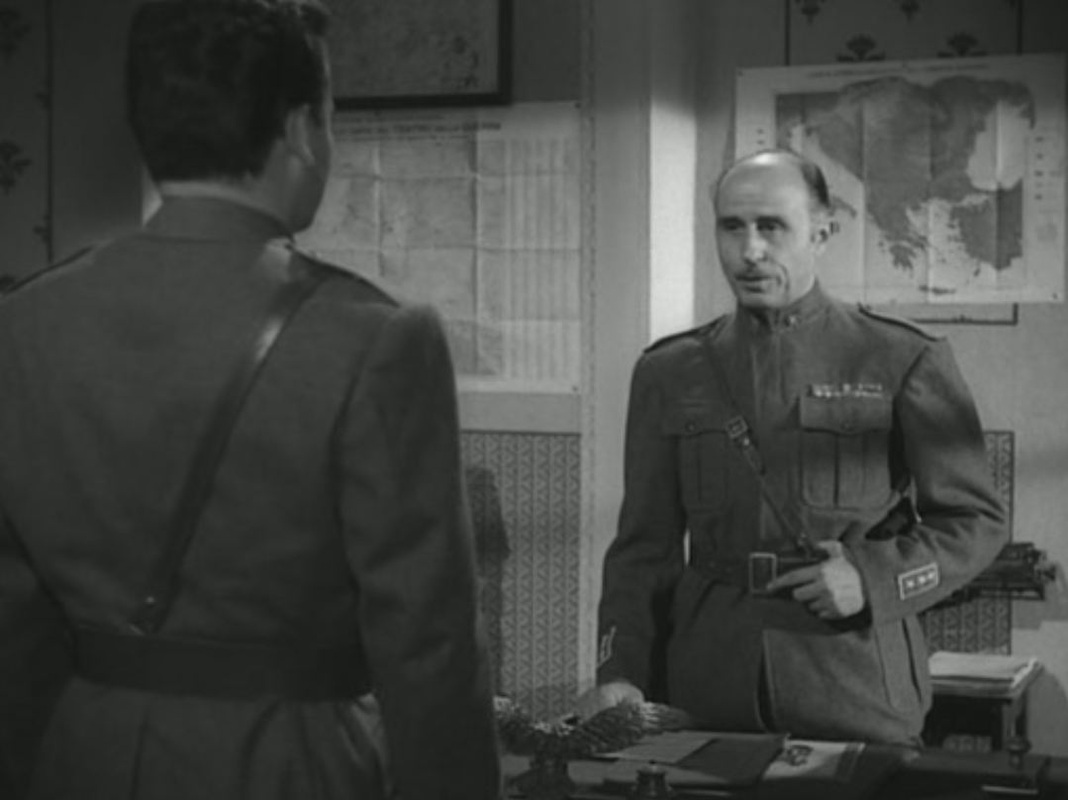
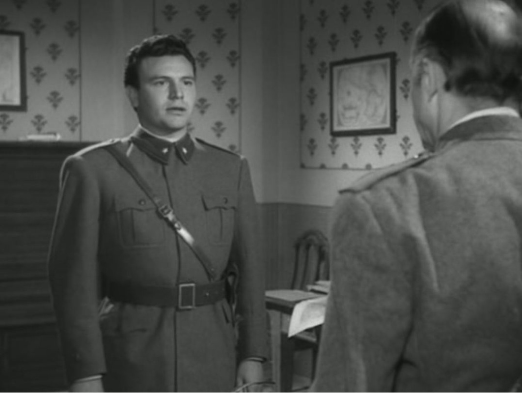
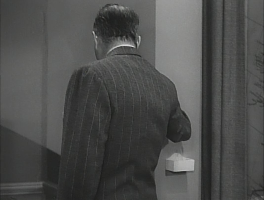
To my shame I can identify none of the places represented on these maps, except for those on the globe and the planisphere of the heavens. A few other maps feature in the film, such as this curious (hand-drawn?) map of the Red Sea area: 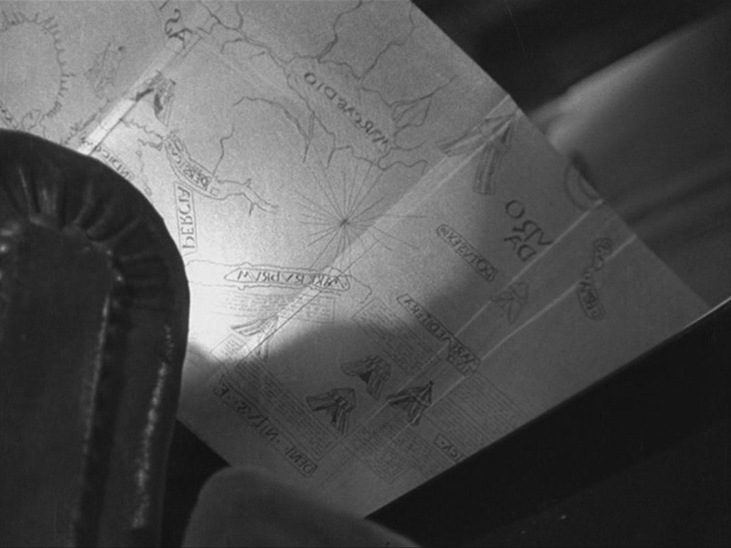 The map is in reverse because it is filmed from below and behind, as the old man folds it back into the book he is reading. In the kitchen of the house we see a part of a map if Paris on the wall, and in his room the German officer examines a book about Paris with a map of the Ile de la Cité on the cover: 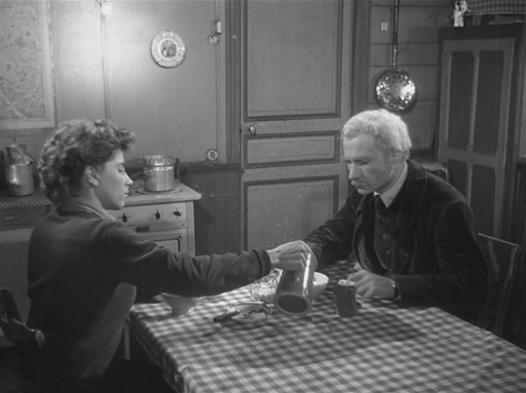 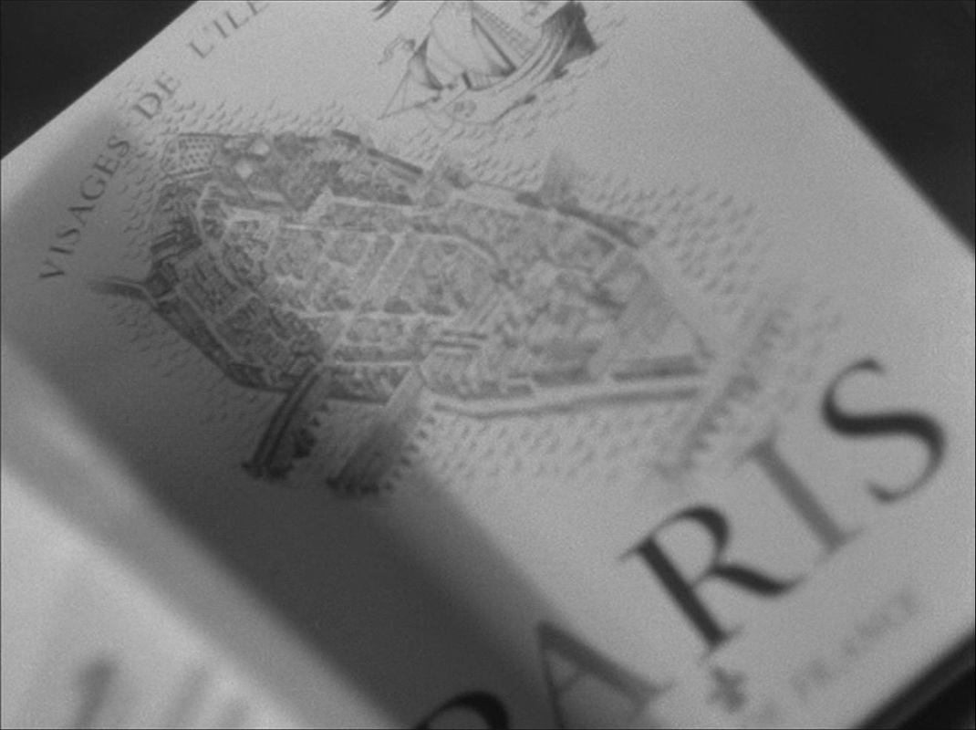 There is also a map of Europe on the banner of the Petit Parisien newspaper that he has in his room: 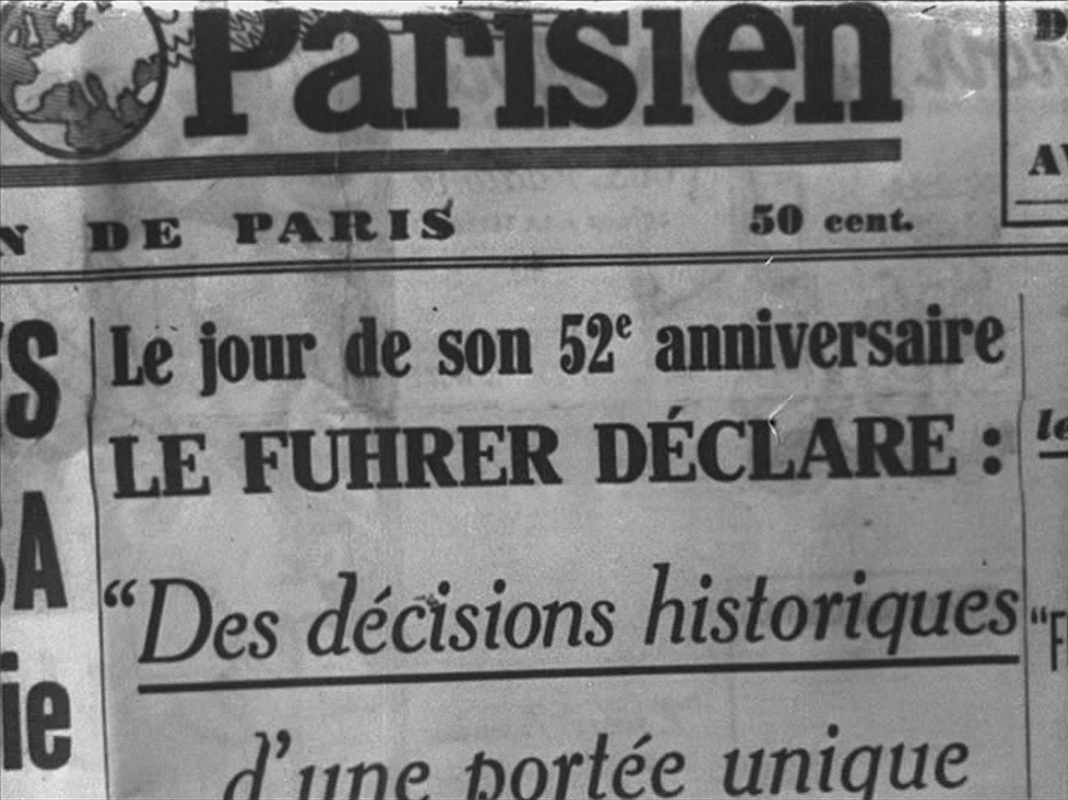 The only other maps are at the mairie of Villiers-sur-Morin, where the German officer works. One probably represents the area of jurisdiction, the other shows the outline of the British Isles on a propaganda poster: 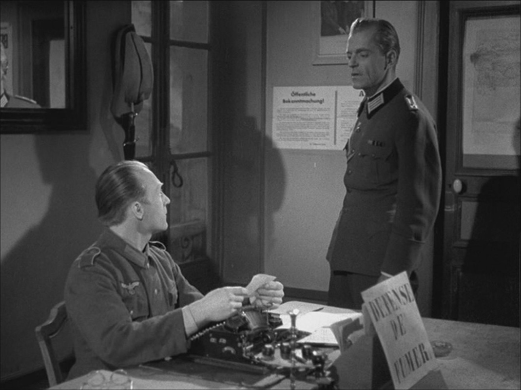 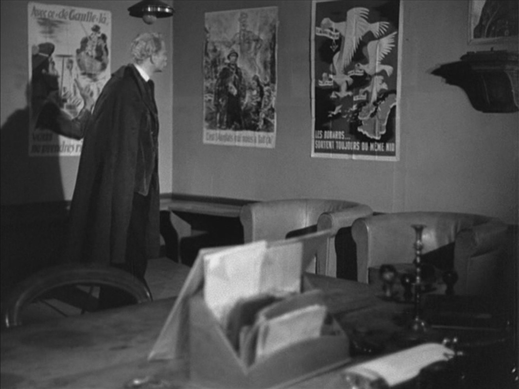 Each of these, curiously, is reframed and reversed by being seen in a mirror: 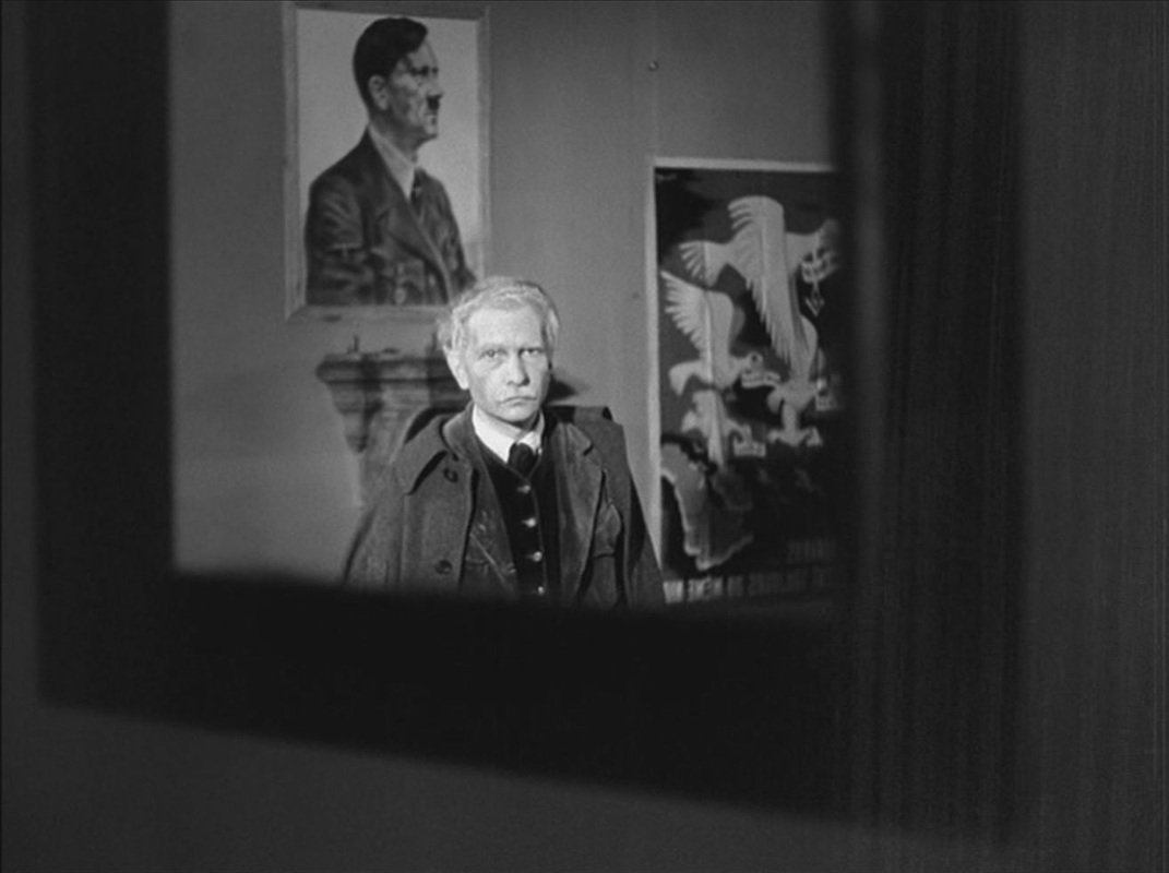 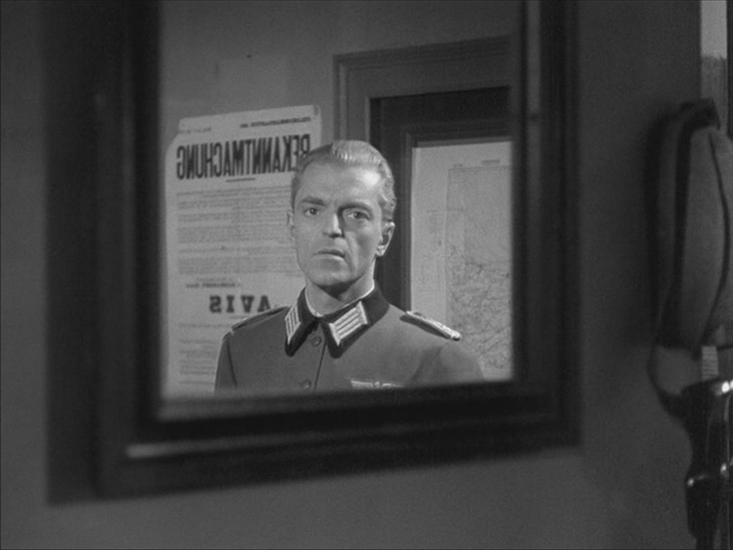 Postscript: A still of this last image is used in Jean-Louis Roy's 1967 film L'Inconnu de Shandigor, where it evokes the Nazi past of a character played by Howard Vernon: 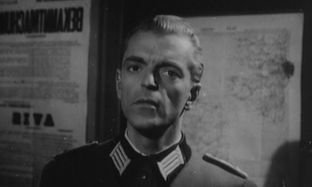 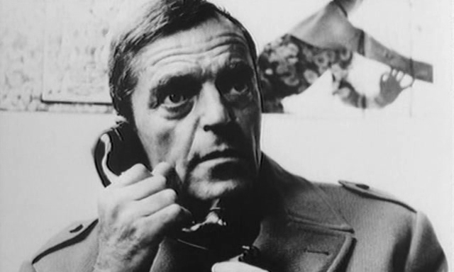 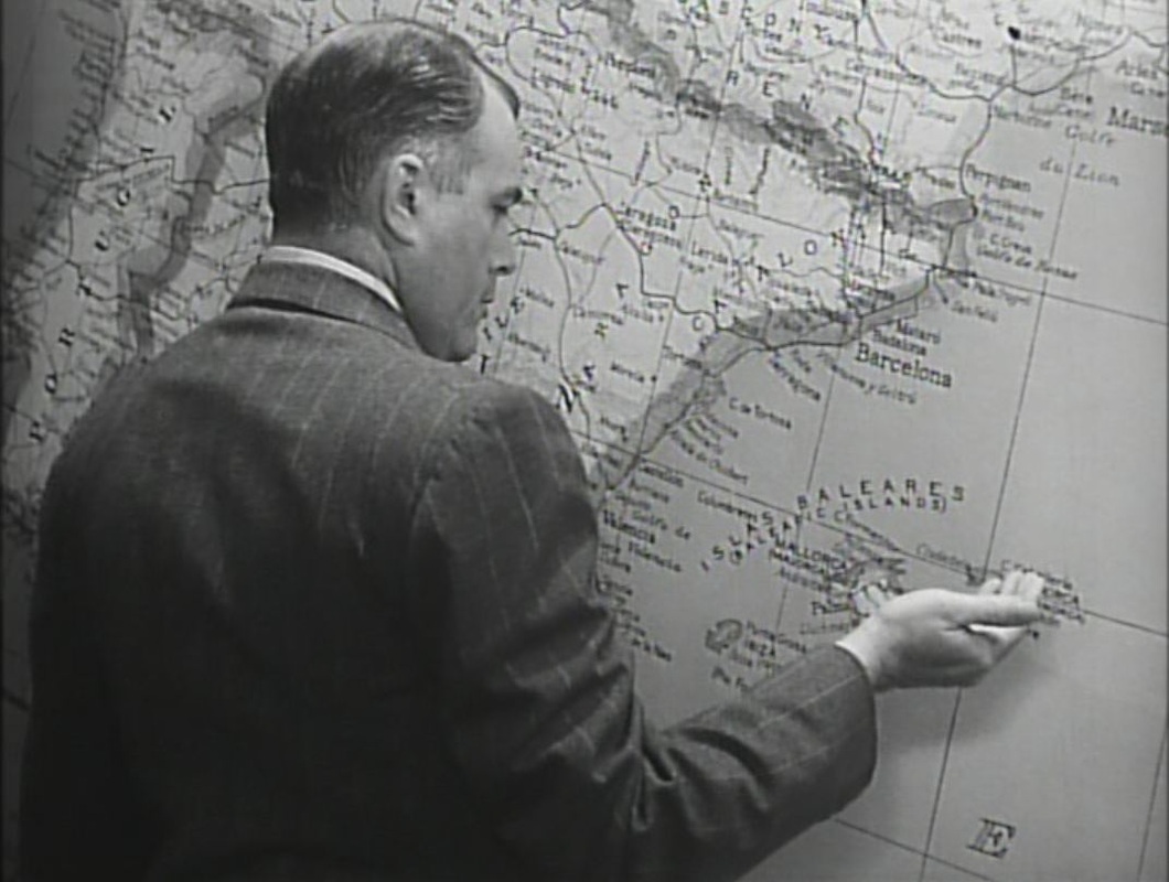
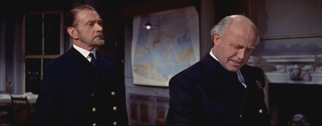
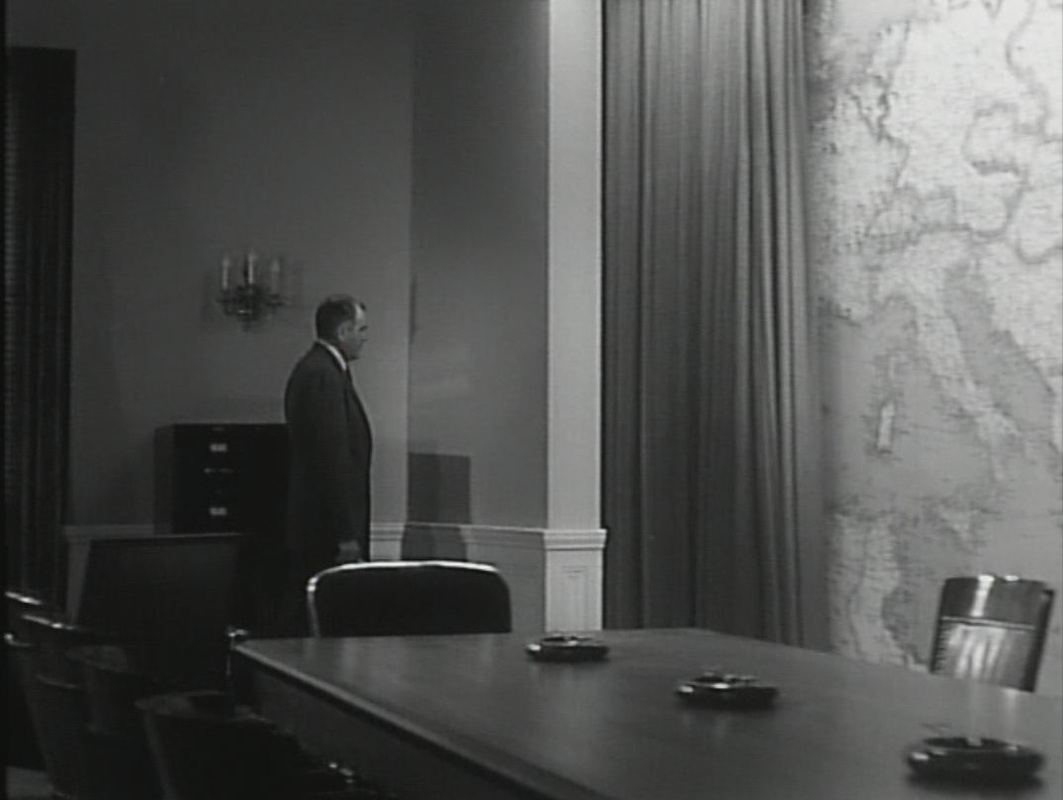
A button pressed draws the curtain back from the map of Europe:
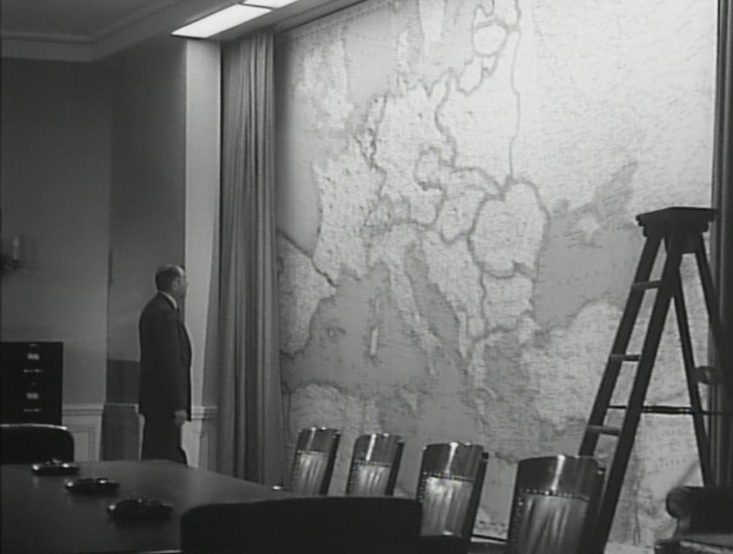
The pins on the map represent OSS operatives. When he learns that two agents have died, he removes their pins from the map and drops them into a waiting receptacle: 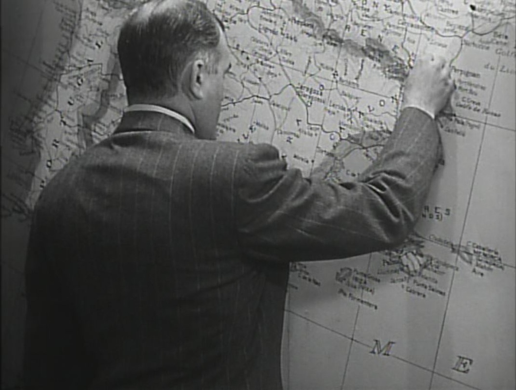
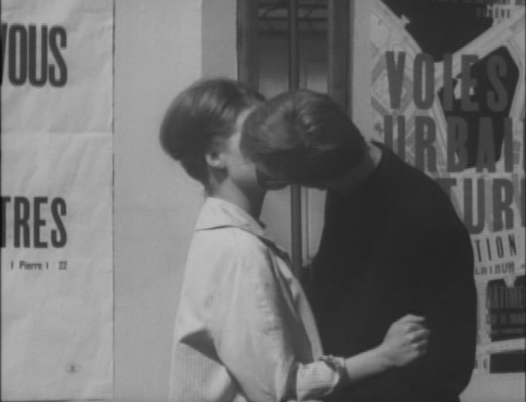 The first of the three maps in Le Petit Soldat, though it is barely noticeable behind the kissing couple, connects to an opposition in the film between the city's historic aspect - its vieille ville and its lakeside luxury hotels - and recurring examples of new architecture - hotels and apartment buildings. The poster featuring this map - presumably of Geneva - is for an exhibition called 'Voies Urbaines Futures', organised by Geneva's Department of Public Works in March and April 1960. The other two maps appear at the headquarters of the opposing political factions represented in the film, the FLN and a French (counter-) terrorist group modelled on 'La Main Rouge' (see here for further information on the political background to these plot elements). 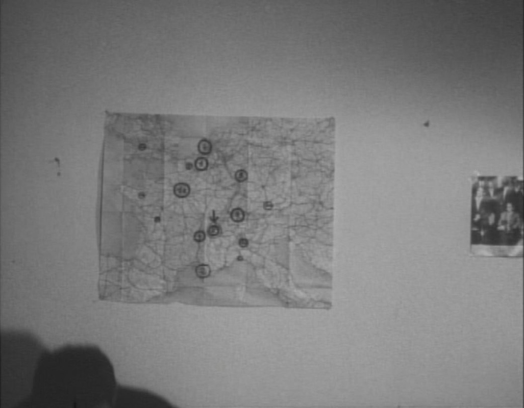 In the modern apartment used by the FLN as a base, a map of Western Europe shows several locales, some of them numbered. I can't identify them all, but several are ports (Nantes, Toulon, Genoa, Bristol) and others are major European cities (Brussels, Paris, Zurich Milan, Munich). Rotterdam and Frankfurt are mentioned at this point in the film as sites of terrorist actions. The city with an arrow pointing to it is Geneva. 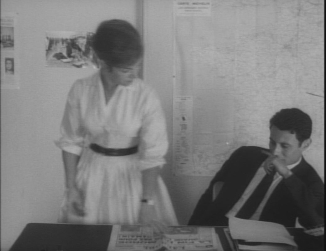 In the offices of the 'Compagnie Française d'Information', a front for the French terrorist cell, a map of France includes neighbouring Switzerland to the right, with Geneva circled and surrounded by arrows:  These are the maps in the film. For maps of the film, and other aspects of the film's topography, see my essay on Vimeo, here, derived from the Geneva part of a 'Cities Methodologies' installation hosted by UCL and the Slade in 2010. (For more on the chronology of Le Petit Soldat, see here.)  After 366 postings, a full year's worth, this is the last daily map. I shall still be posting pictures of maps in films, but only sporadically, alongside occasional BlowUp moments and the odd piece of escalographic Parisiana. Thanks for following.  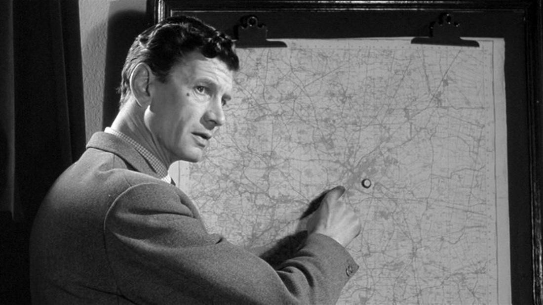 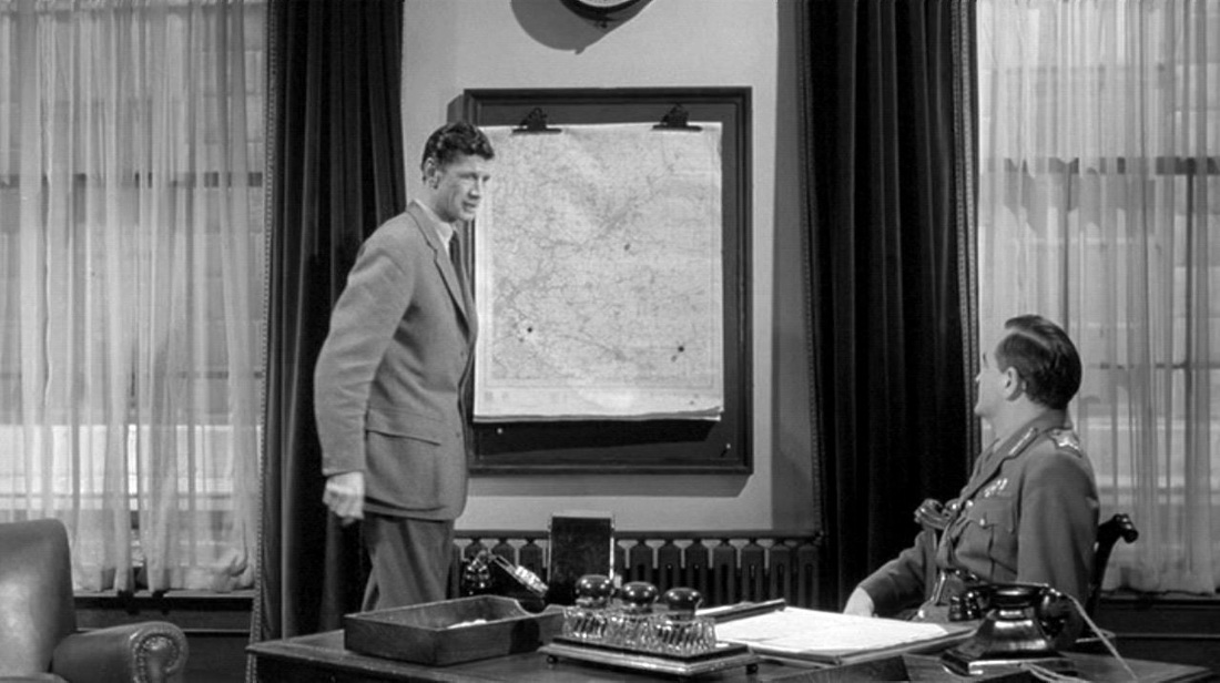 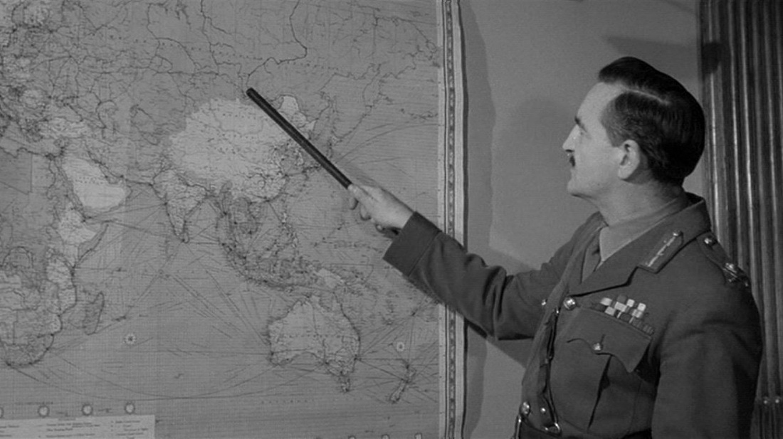 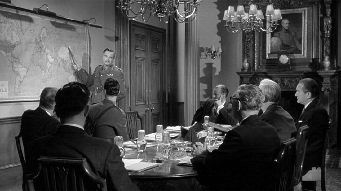 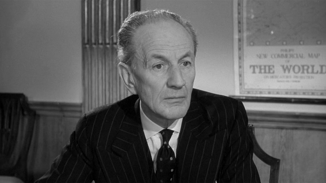 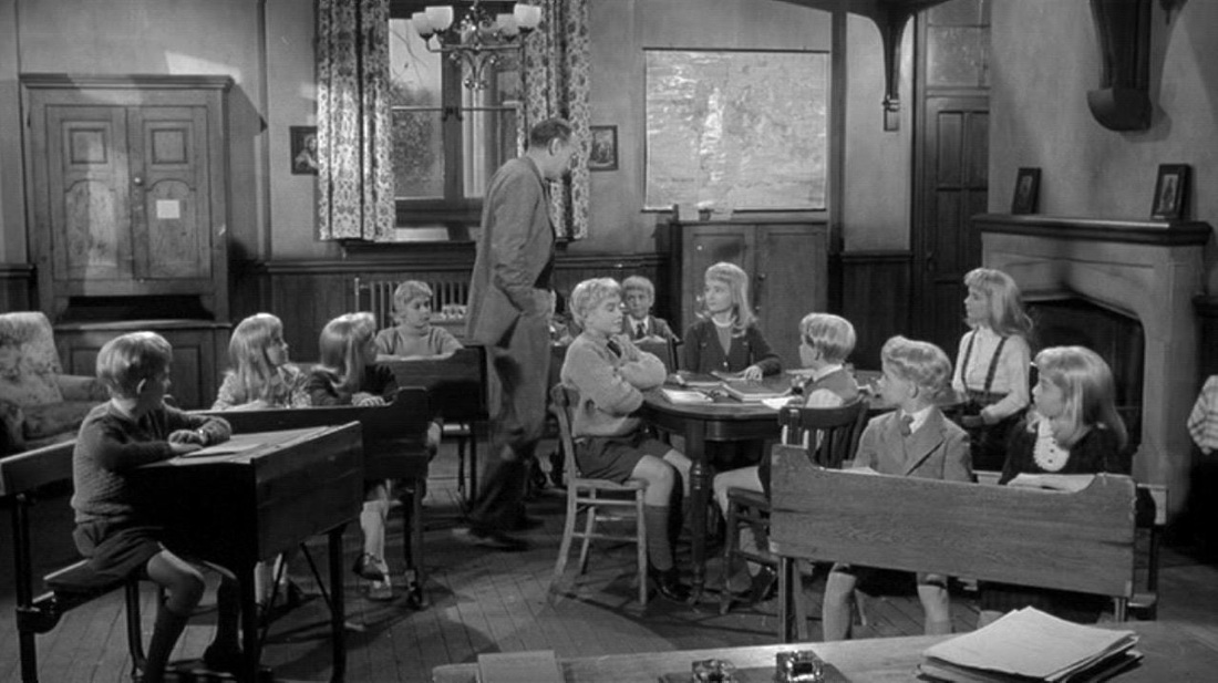 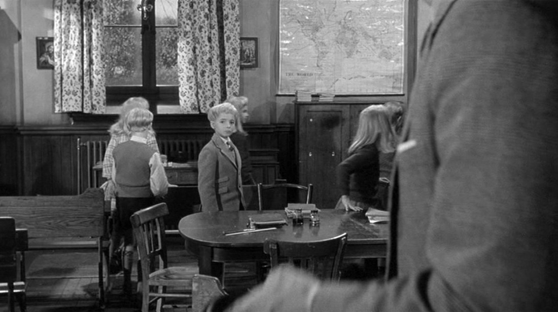 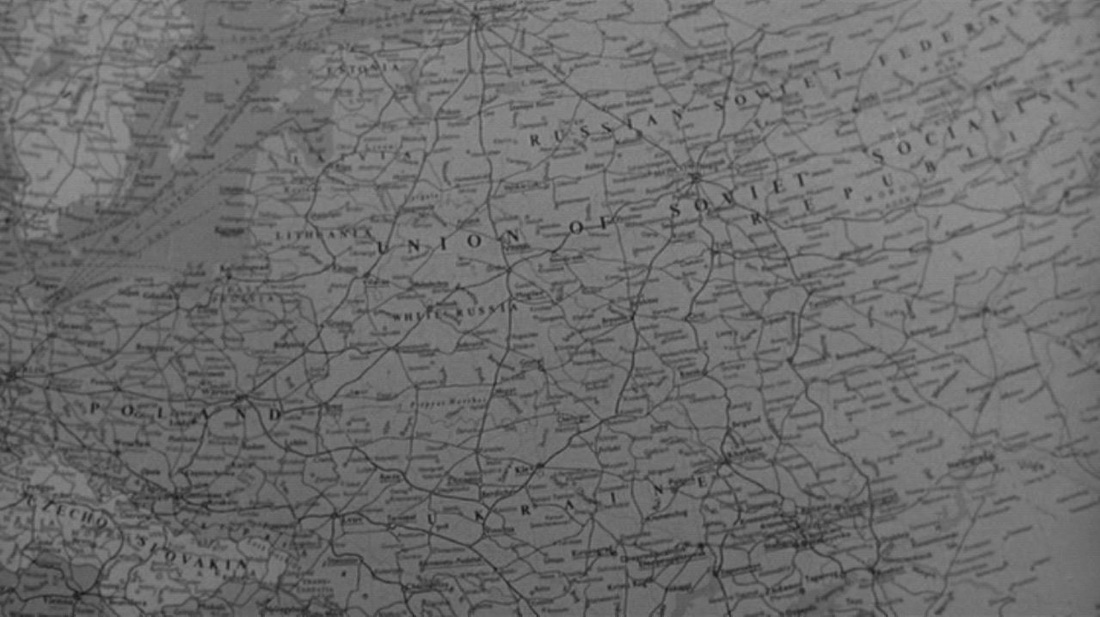 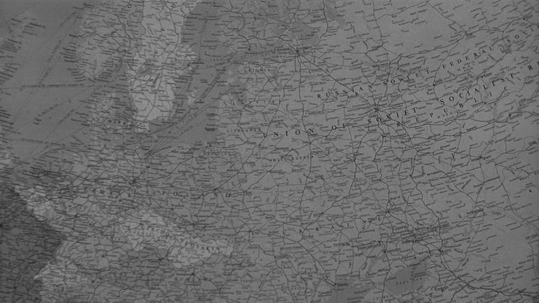 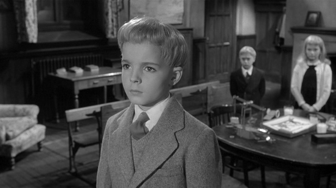 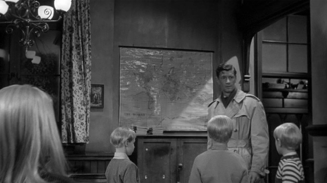 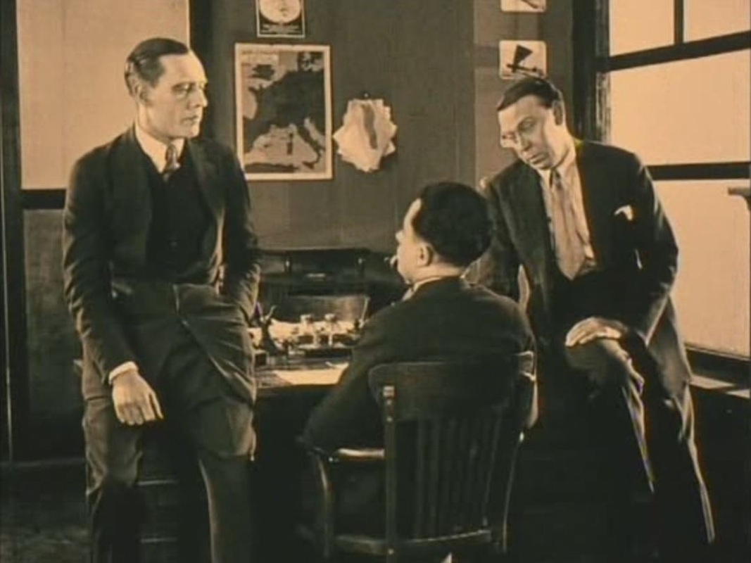 The several maps in this room and the proto-cartographic aerial views we also see suggest that, like many aviation films, La Proie du vent will manifest, in Teresa Castro's phrase, 'la pensée cartographique des images'. But twenty minutes in, after the aviator crashlands in a Slovakian forest, the film becomes for the last hour something completely different, a romantic thriller in a sinister castle. 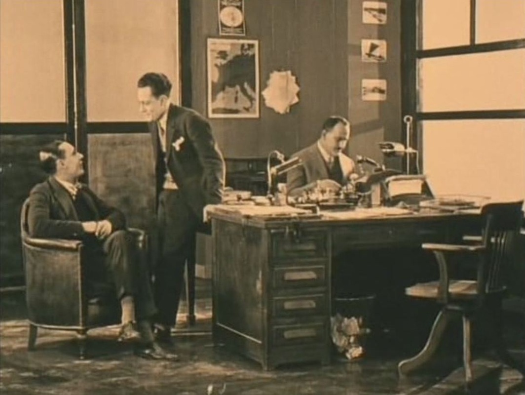 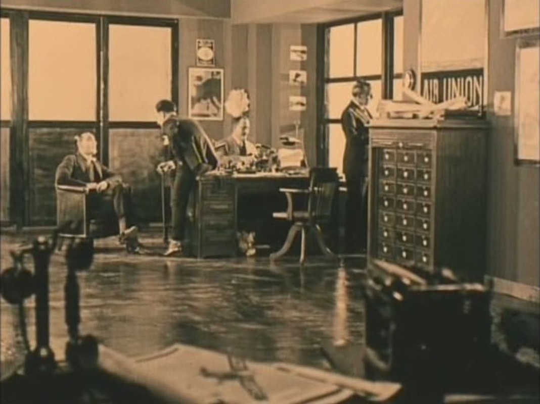 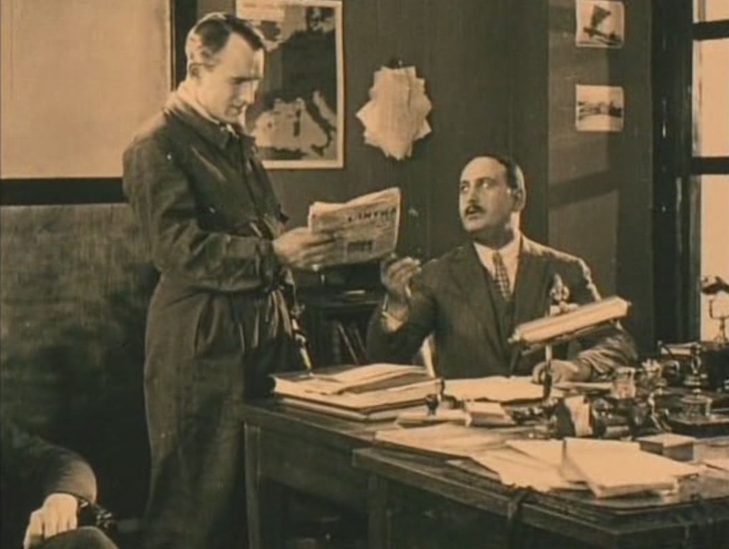    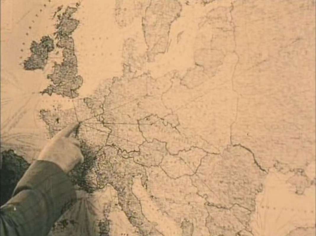 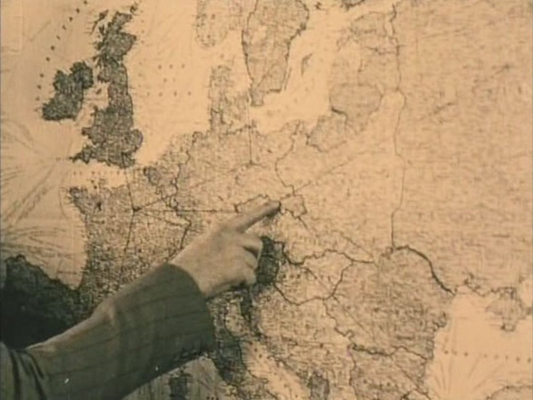 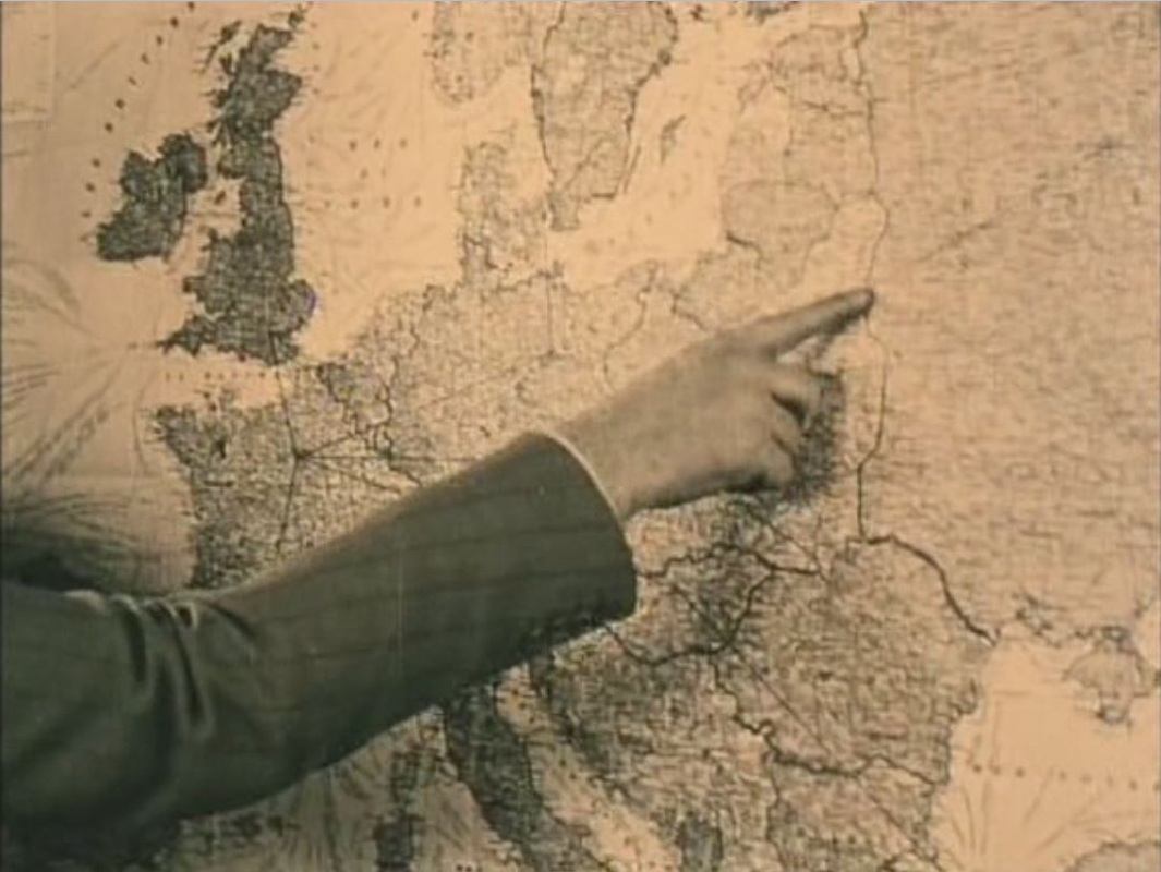 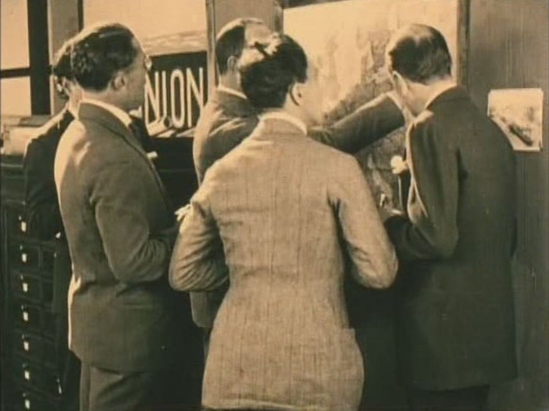 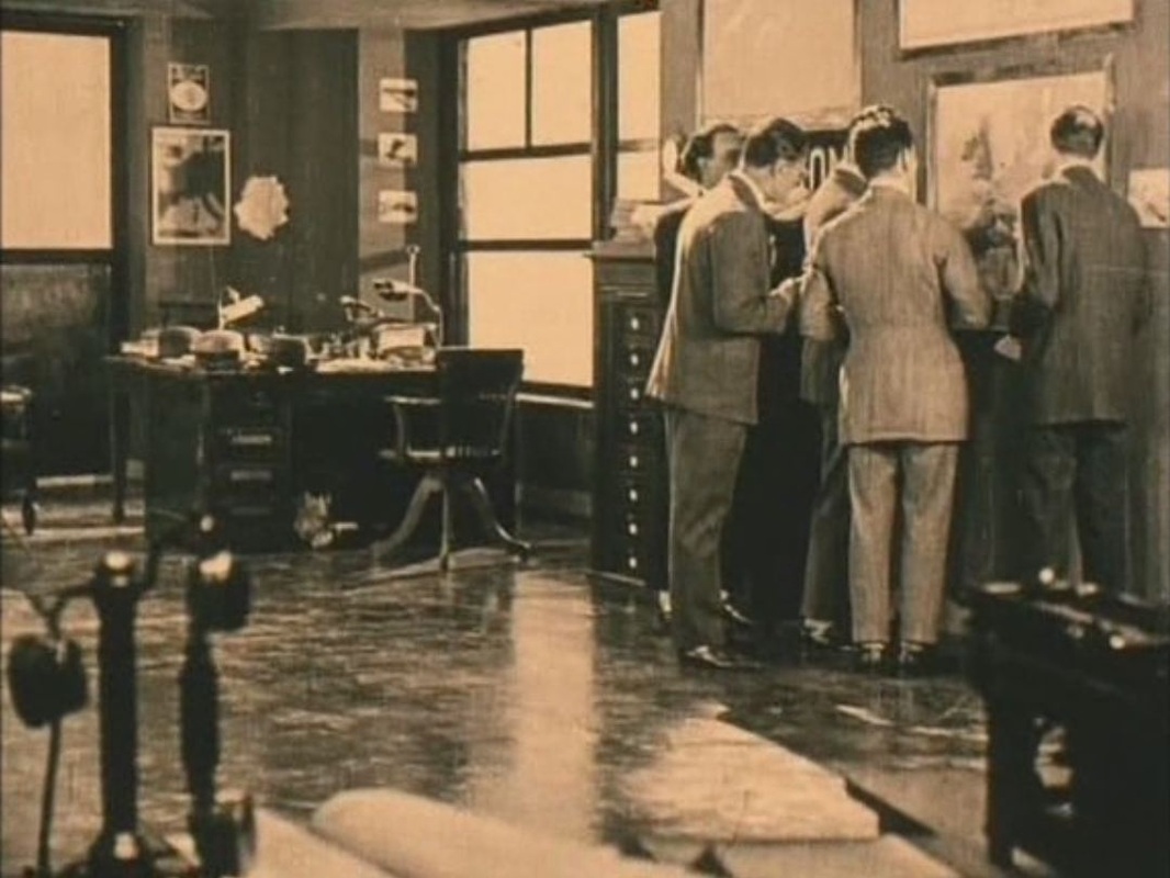 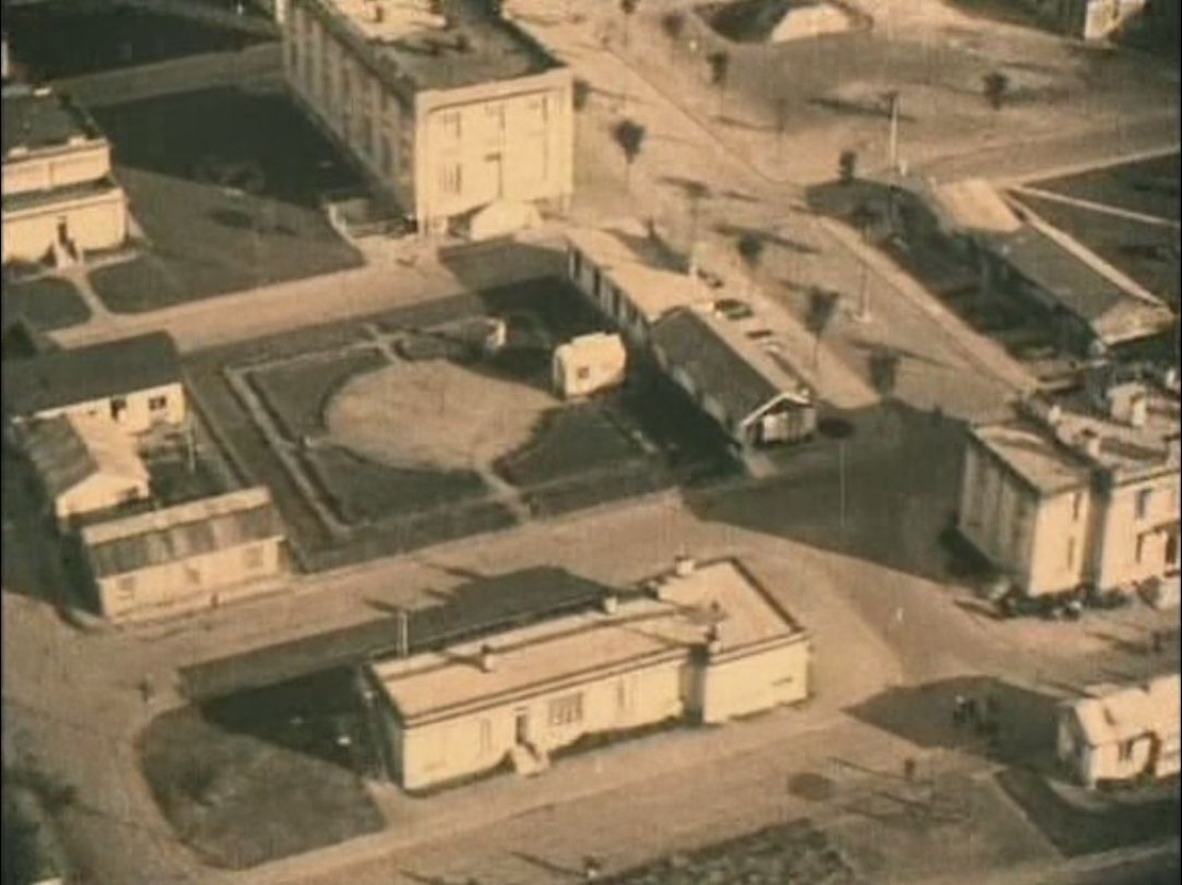 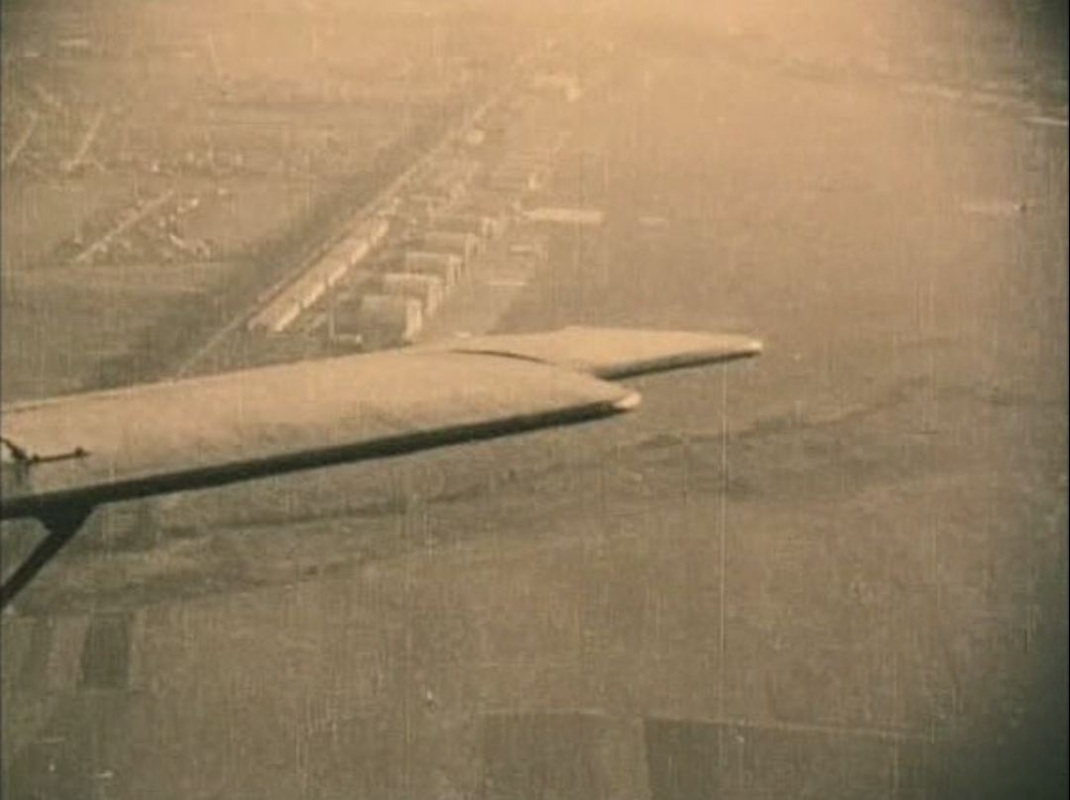 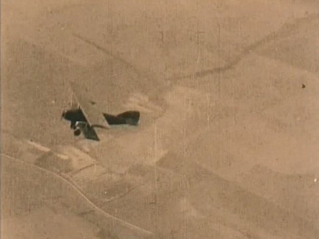 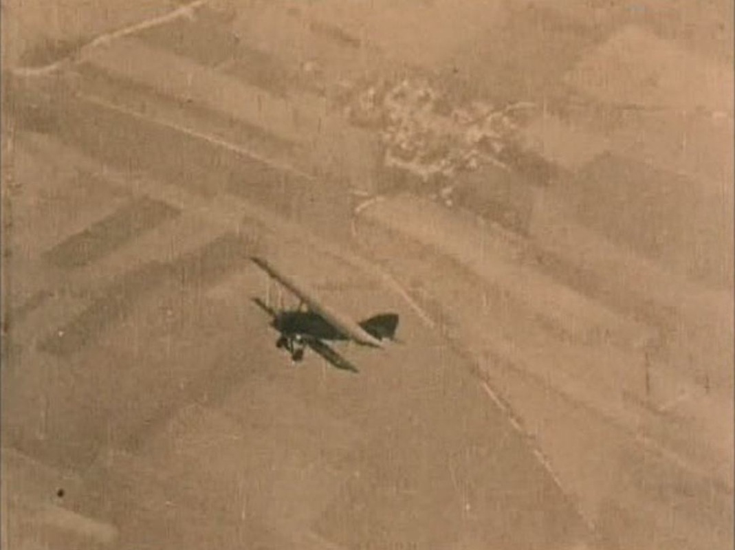 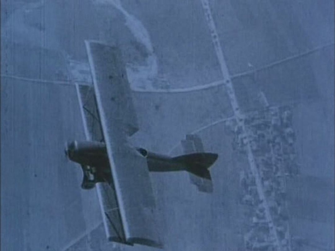 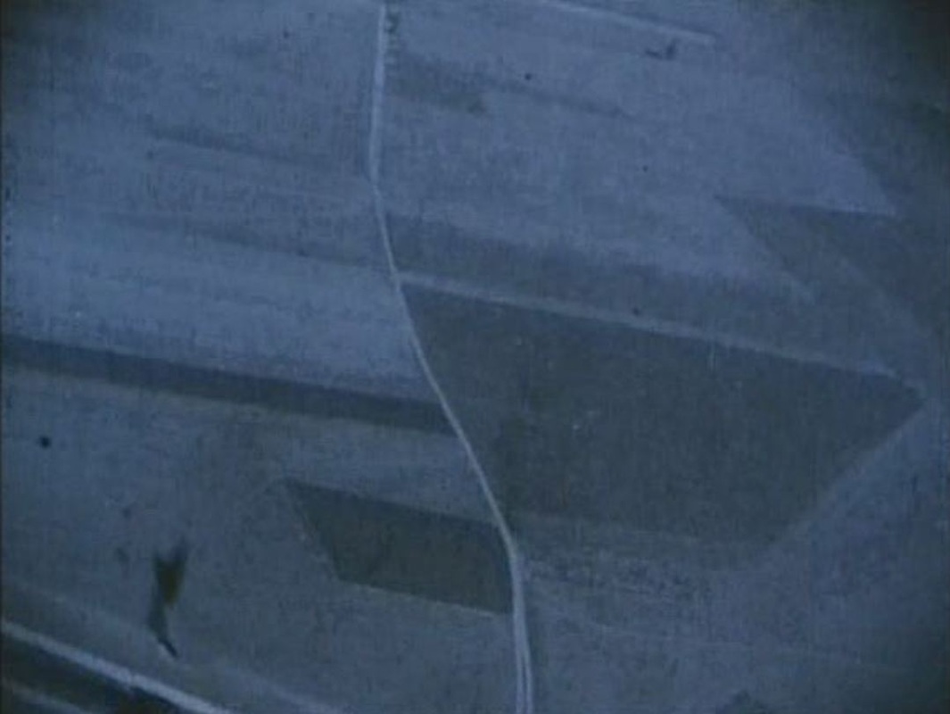 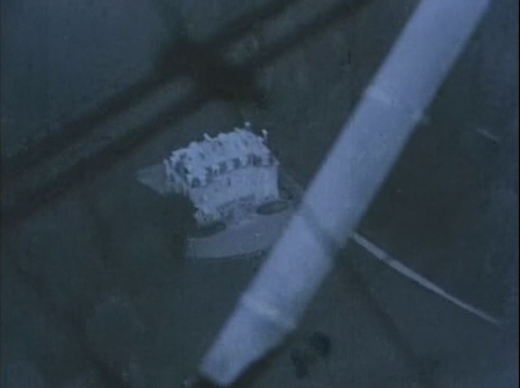 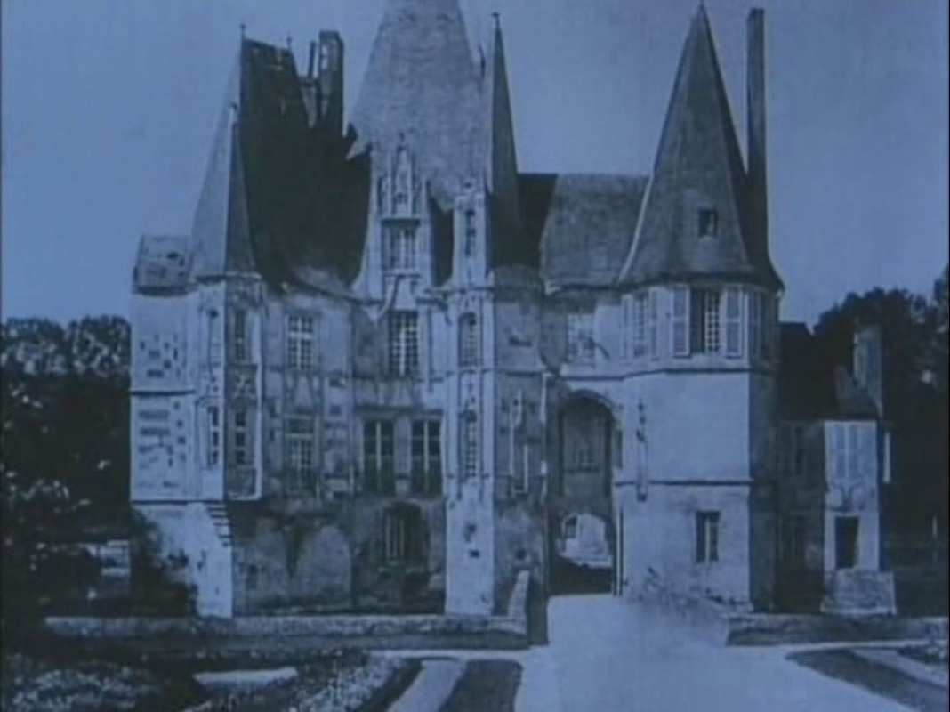 copyright: 'La Proie de l'ombre', René Clair – 1927, La Cinémathèque française
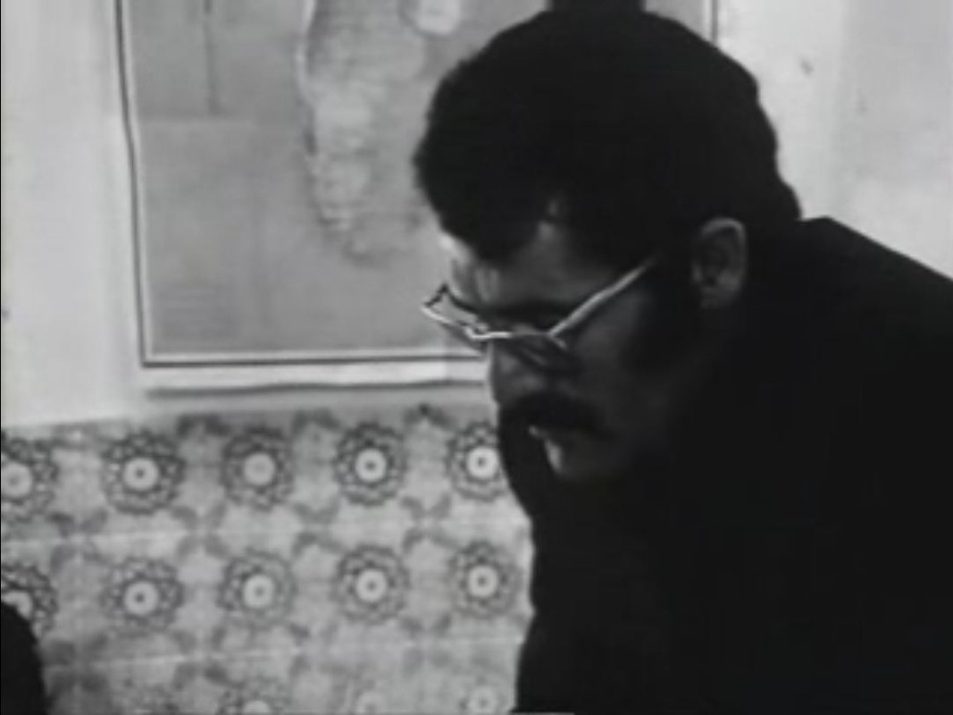
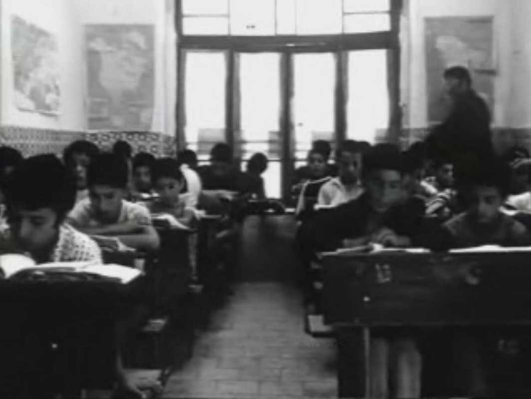
The classroom where most of the film plays out has no maps. All I could find in the whole two hours - set entirely within the school - is this brief glimpse of a map in the background.
The film announces a journey from Geneva to Algeria that is never undertaken. Instead it concludes with a movement from the old centre of Geneva to the city's new suburbs.
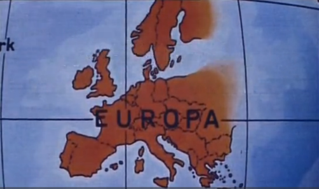
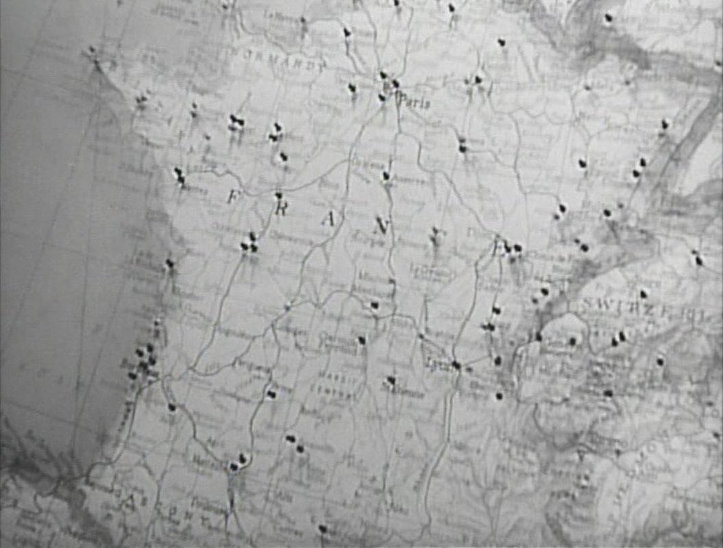
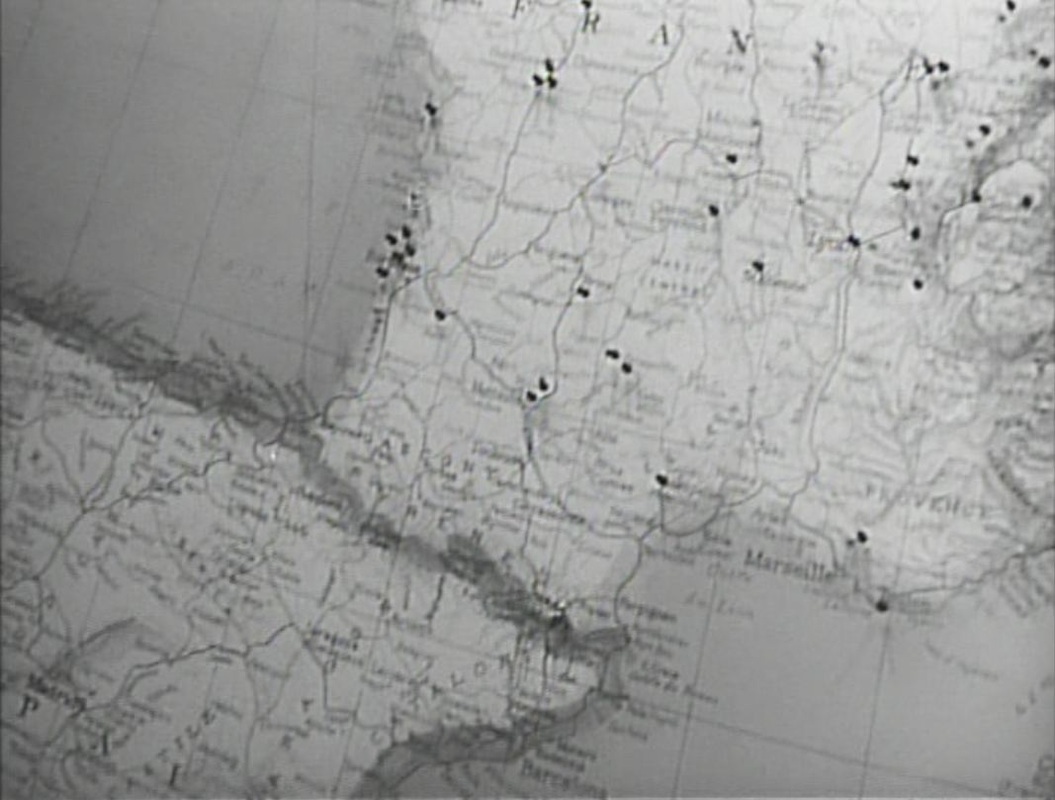
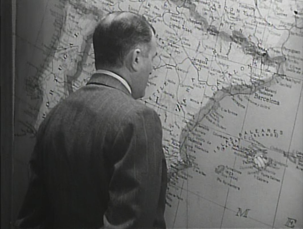
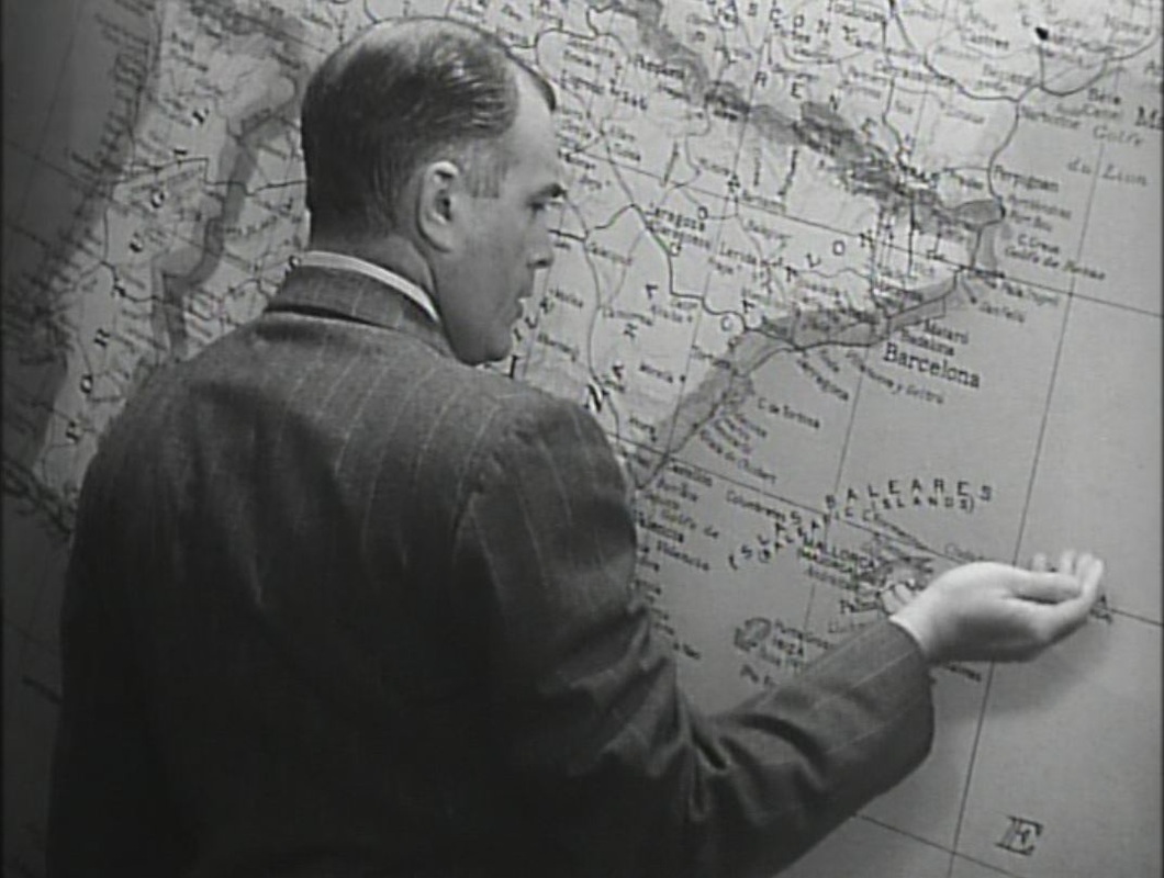
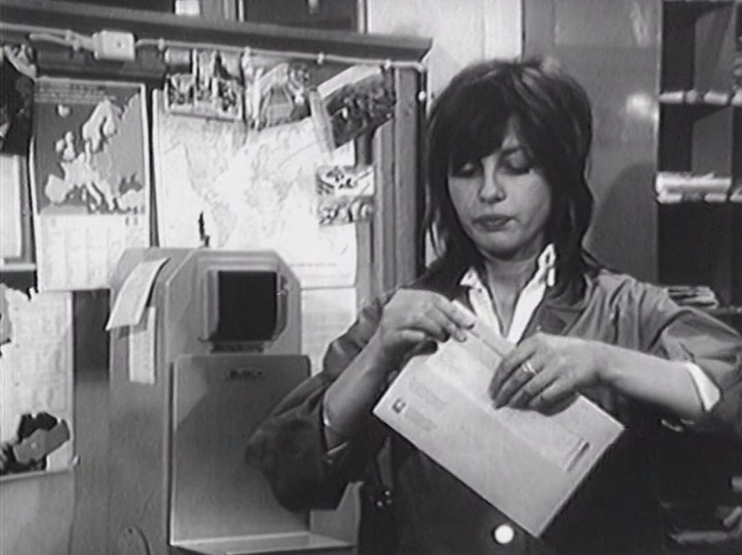
These maps in the post office bear little relation to these journeys. 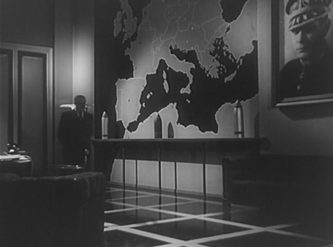 This fuller view of the map of Europe is coyly withheld for the first half of the film, avoiding that part of Europe to which the allegory most applies (i.e. Germany and Czechoslovakia) until the threatened war breaks out. Until this point we see only fragments of the map, showing Western Europe and the Mediterranean: 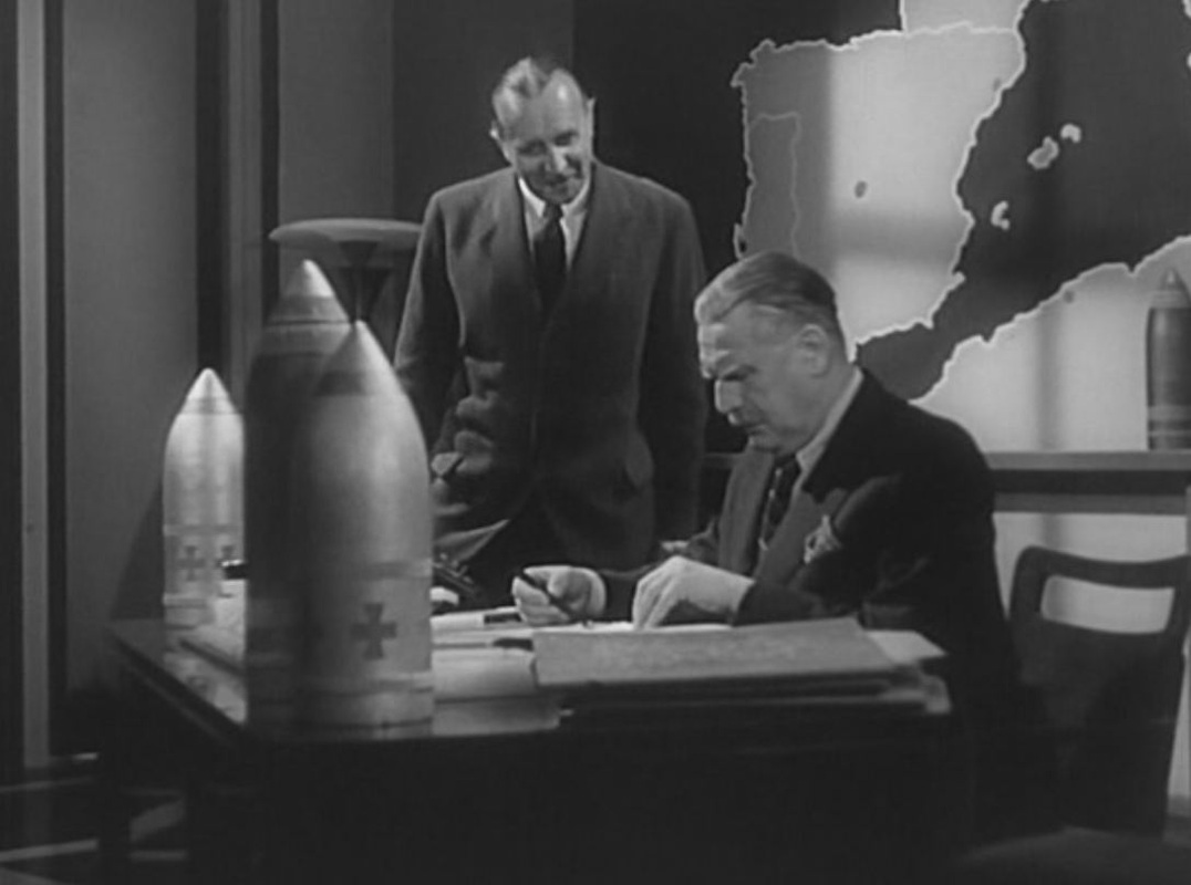 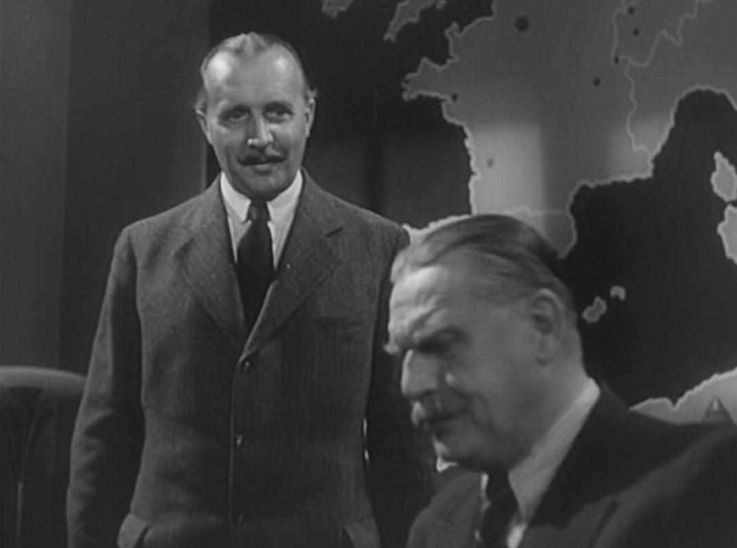 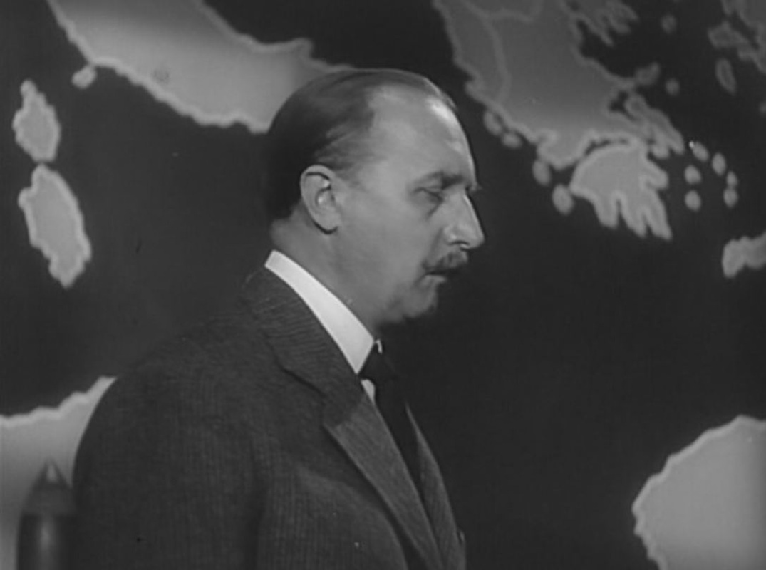 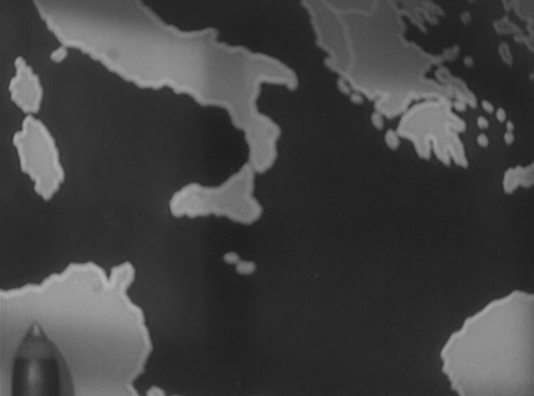 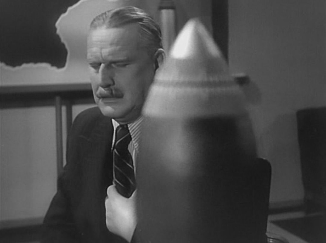 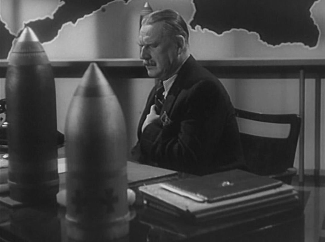 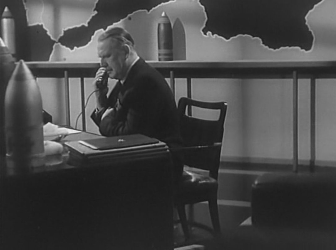 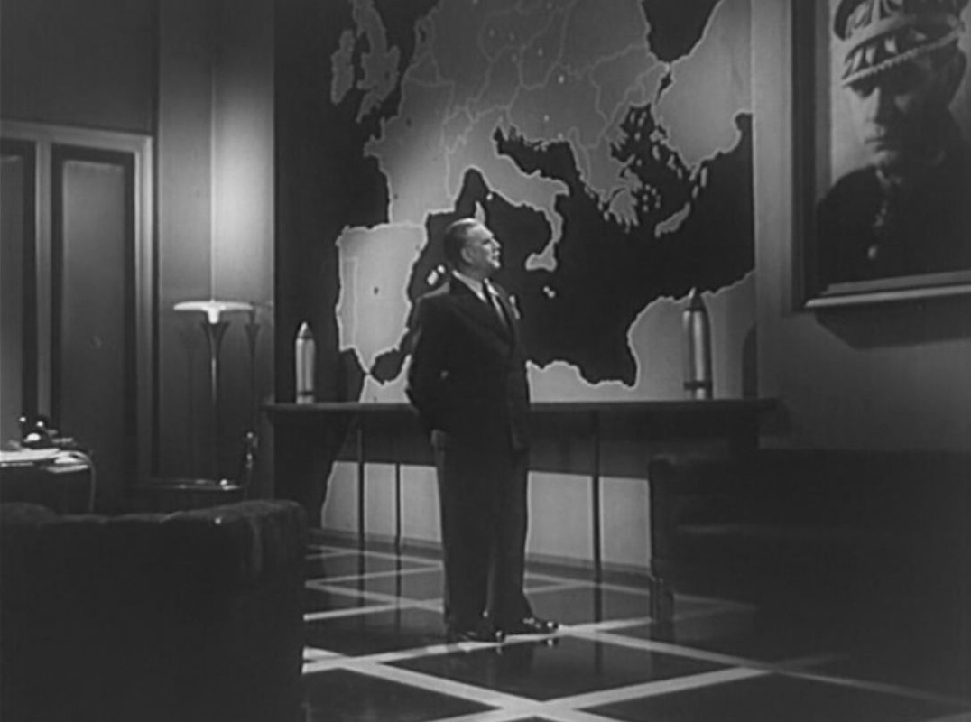 |